6th January 2024 - Widdop and Boulsworth Hill
Walk Details
Distance walked: 11.8 miles
Total ascent: 2315 ft
OS map used: OL21 - South Pennines
Time taken: 6.5 hrs
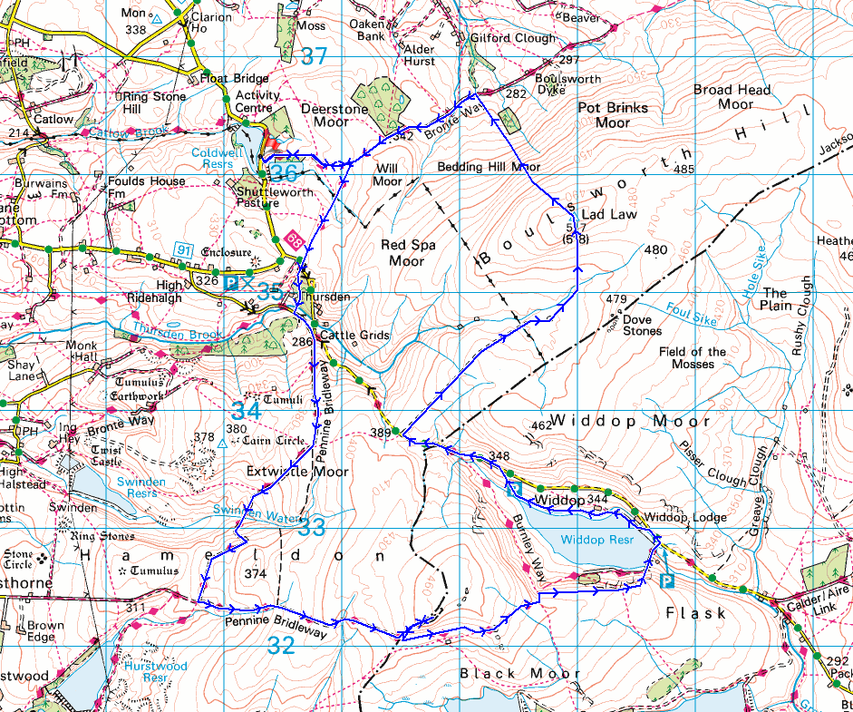
Route description: Lower Coldwell Reservoir-Pendle Way-Pennine Bridleway-Thursden-Pennine Bridleway-Extwistle Moor-Gorple Gate-Cludders Slack-Widdop Reservoir-road to Thursden-Hey Slack Clough-Boulsworth Hill-Pennine Bridleway-Pendle Way-Lower Coldwell Reservoir
There's some fine winter weather forecast for this weekend. At last! So, I've planned to make the most of it and head out for a walk on both days, today's one being close to home and also one of my favourite routes in the South Pennines. Widdop Reservoir, set in a bowl in the hills and surrounded by gritstone crags, has to be one of the more dramatic locations that can be visited in the South Pennines, and I enjoyed some lovely winter sunshine for taking it in. Also, I thought that I'd try a new way of reaching the summit of Boulsworth Hill, making use of a track that leaves the top of the road that crosses the moors from Thursden to Heptonstall, which I've seen people using before. It was a good route, the track being firm underfoot, and it was only the area around Hey Slack Clough that was boggy underfoot. I'll definitely use it again. After setting off from beside Lower Coldwell Reservoir with lots of blue sky, sunshine, and a frost on the ground, it stayed that way through most of the day with the strong breeze that was blowing gradually easing down so that there was just a gentle breeze by the time I was on the summit of Boulsworth Hill.
After parking on the roadside by Lower Coldwell Reservoir I took the trail of the Pendle Way and followed it east until it met the Pennine Bridleway. I then turned right and followed the Pennine Bridleway south until I reached the road down into the Thursden Valley, which I took down to a left hand bend where the Pennine Bridleway then went down through woodland to the road at the bottom of the Thursden Valley. After turning left I walked up the road to a junction where the Pennine Bridleway leaves as a track on the right, which I took and followed south across Extwistle Moor to the track of Gorple Road, where I turned left and followed this east up and over the moor to above Widdop Reservoir (stopping for lunch at Shuttleworth Rocks on Shuttleworth Moor). I left the track here for a thin path along the top of the gritstone edge of Cludders Slack, before heading down to join the track again to cross the dam of Widdop Reservoir to reach the Widdop Road. After a short walk up the road towards Widdop Lodge I took a footpath on the left to the northern shore of Widdop Reservoir, then a concessionary footpath along it and up to the road to Thursden. I then walked up the road to its top to reach a track on the right, which I took and followed across the moor to its end, then a path down to and across Hey Slack Clough, and up onto Boulsworth Hill. Once I'd taken in the view from Boulsworth Hill I descended by the path past the Abbot Stone to the Pennine Bridleway below, where I turned left and followed it west across Will Moor until I reached the Pendle Way, which I took to reach the road by Lower Coldwell Reservoir and where I was parked.
Total ascent: 2315 ft
OS map used: OL21 - South Pennines
Time taken: 6.5 hrs
Route description: Lower Coldwell Reservoir-Pendle Way-Pennine Bridleway-Thursden-Pennine Bridleway-Extwistle Moor-Gorple Gate-Cludders Slack-Widdop Reservoir-road to Thursden-Hey Slack Clough-Boulsworth Hill-Pennine Bridleway-Pendle Way-Lower Coldwell Reservoir
There's some fine winter weather forecast for this weekend. At last! So, I've planned to make the most of it and head out for a walk on both days, today's one being close to home and also one of my favourite routes in the South Pennines. Widdop Reservoir, set in a bowl in the hills and surrounded by gritstone crags, has to be one of the more dramatic locations that can be visited in the South Pennines, and I enjoyed some lovely winter sunshine for taking it in. Also, I thought that I'd try a new way of reaching the summit of Boulsworth Hill, making use of a track that leaves the top of the road that crosses the moors from Thursden to Heptonstall, which I've seen people using before. It was a good route, the track being firm underfoot, and it was only the area around Hey Slack Clough that was boggy underfoot. I'll definitely use it again. After setting off from beside Lower Coldwell Reservoir with lots of blue sky, sunshine, and a frost on the ground, it stayed that way through most of the day with the strong breeze that was blowing gradually easing down so that there was just a gentle breeze by the time I was on the summit of Boulsworth Hill.
After parking on the roadside by Lower Coldwell Reservoir I took the trail of the Pendle Way and followed it east until it met the Pennine Bridleway. I then turned right and followed the Pennine Bridleway south until I reached the road down into the Thursden Valley, which I took down to a left hand bend where the Pennine Bridleway then went down through woodland to the road at the bottom of the Thursden Valley. After turning left I walked up the road to a junction where the Pennine Bridleway leaves as a track on the right, which I took and followed south across Extwistle Moor to the track of Gorple Road, where I turned left and followed this east up and over the moor to above Widdop Reservoir (stopping for lunch at Shuttleworth Rocks on Shuttleworth Moor). I left the track here for a thin path along the top of the gritstone edge of Cludders Slack, before heading down to join the track again to cross the dam of Widdop Reservoir to reach the Widdop Road. After a short walk up the road towards Widdop Lodge I took a footpath on the left to the northern shore of Widdop Reservoir, then a concessionary footpath along it and up to the road to Thursden. I then walked up the road to its top to reach a track on the right, which I took and followed across the moor to its end, then a path down to and across Hey Slack Clough, and up onto Boulsworth Hill. Once I'd taken in the view from Boulsworth Hill I descended by the path past the Abbot Stone to the Pennine Bridleway below, where I turned left and followed it west across Will Moor until I reached the Pendle Way, which I took to reach the road by Lower Coldwell Reservoir and where I was parked.
Route map
© Crown copyright. All rights reserved. License number PU 100034184.
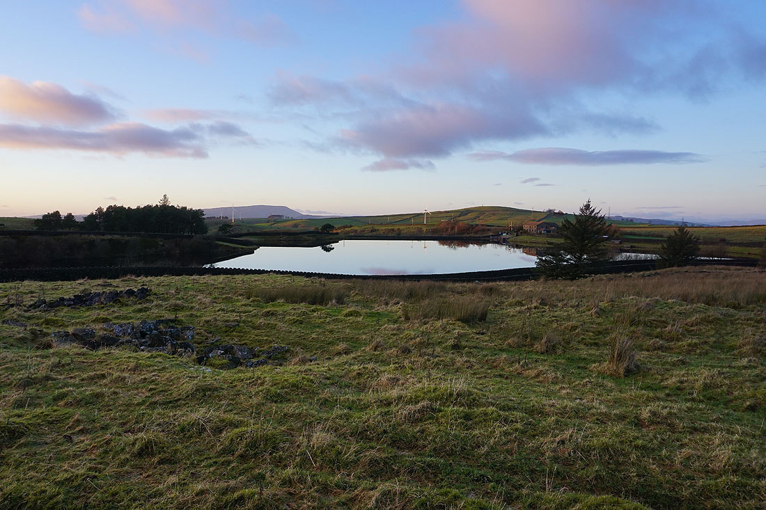
Pendle Hill in the distance as I set off from beside Lower Coldwell Reservoir. Great reflections, it's a beautiful winter's morning.
Looking back to Lower Coldwell Reservoir and Pendle Hill from the Pendle Way
The sun rises above Red Spa Moor
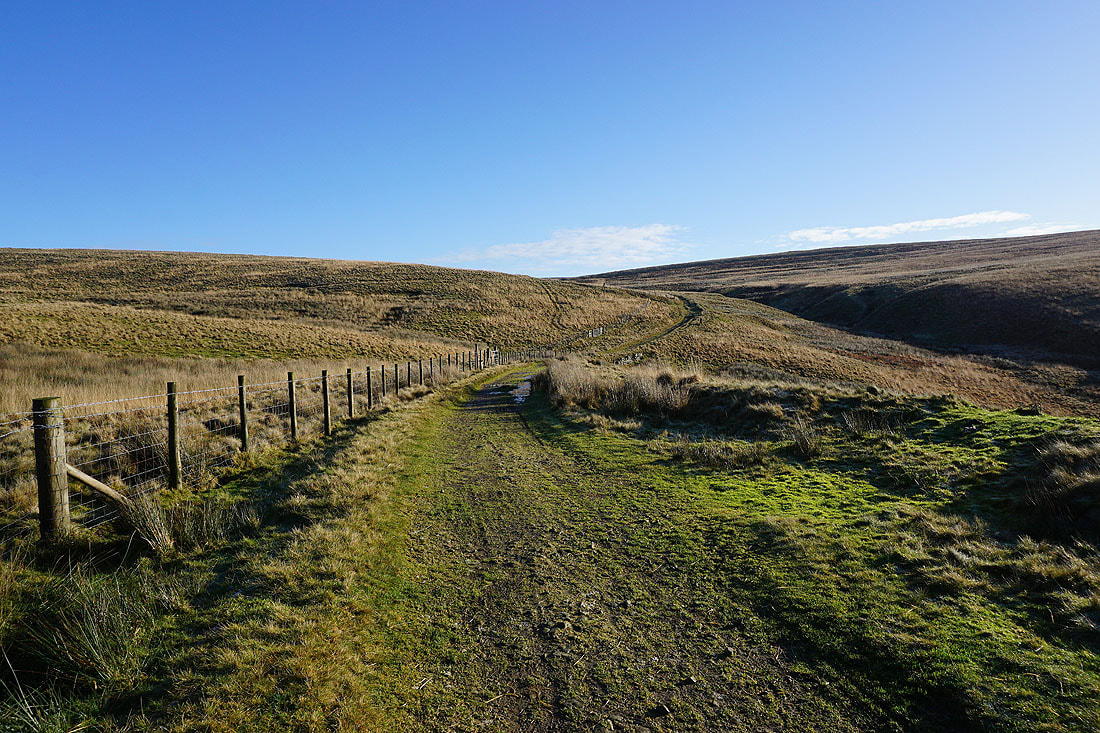
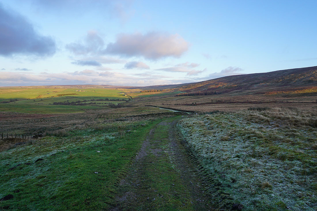
Following the Pennine Bridleway south to the Thursden Valley
To my right, Upper Coldwell Reservoir and Pendle Hill
Looking back along the Pennine Bridleway
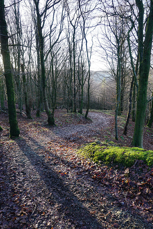
I follow the Pennine Bridleway down through woodland to Thursden
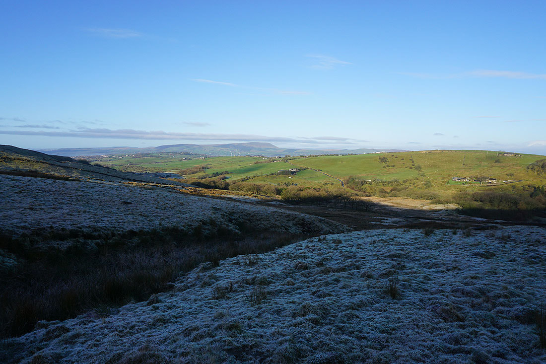
Pendle Hill and the Thursden Valley from the Pennine Bridleway up onto Extwistle Moor
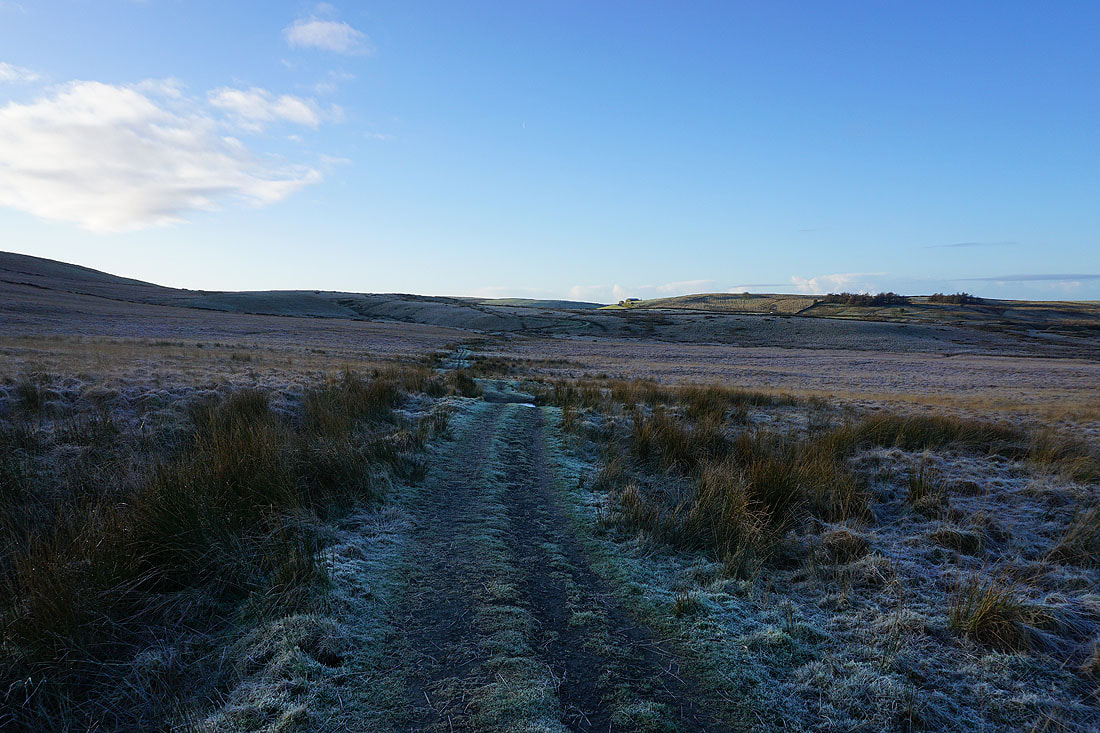
Heading south across Extwistle Moor
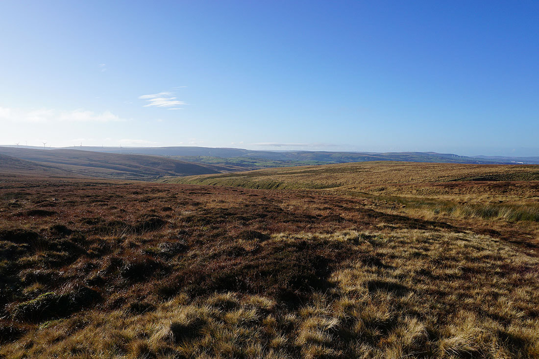
Boulsworth Hill and Extwistle Moor
Following the Pennine Bridleway down into the valley of Swinden Water..
Swinden Reservoir and Pendle Hill
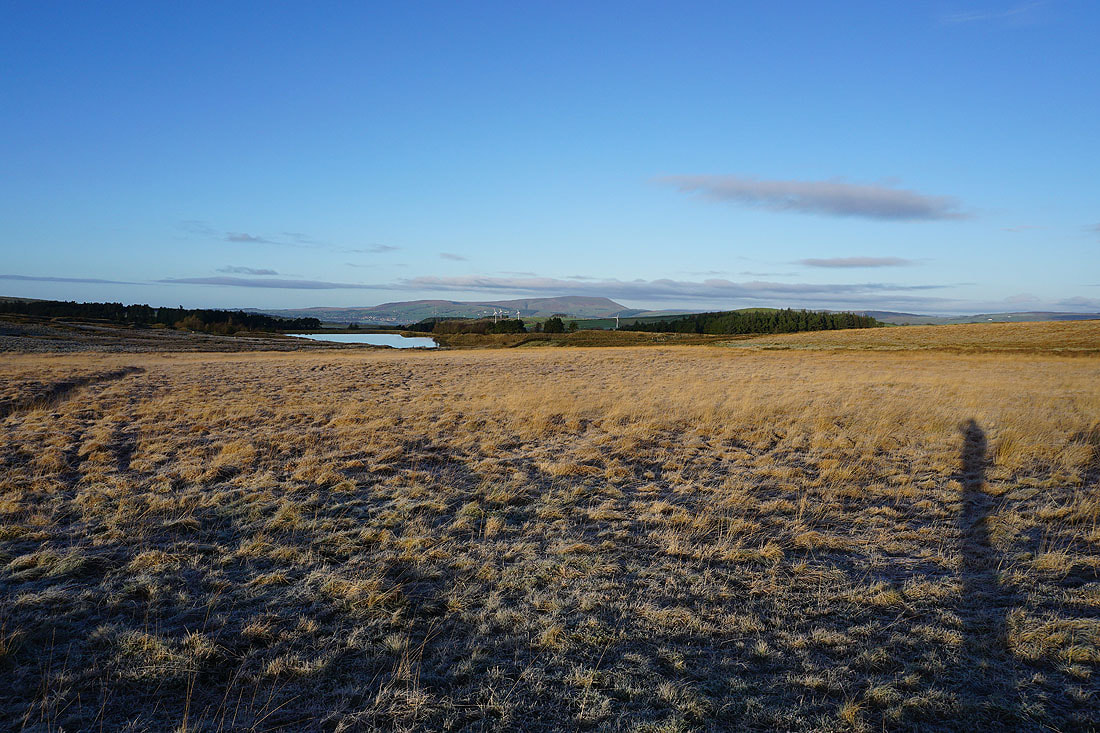
Continuing south, Hurstwood Reservoir and the moors around Cliviger come into view..
I stay on the Pennine Bridleway as I join the track of Gorple Road
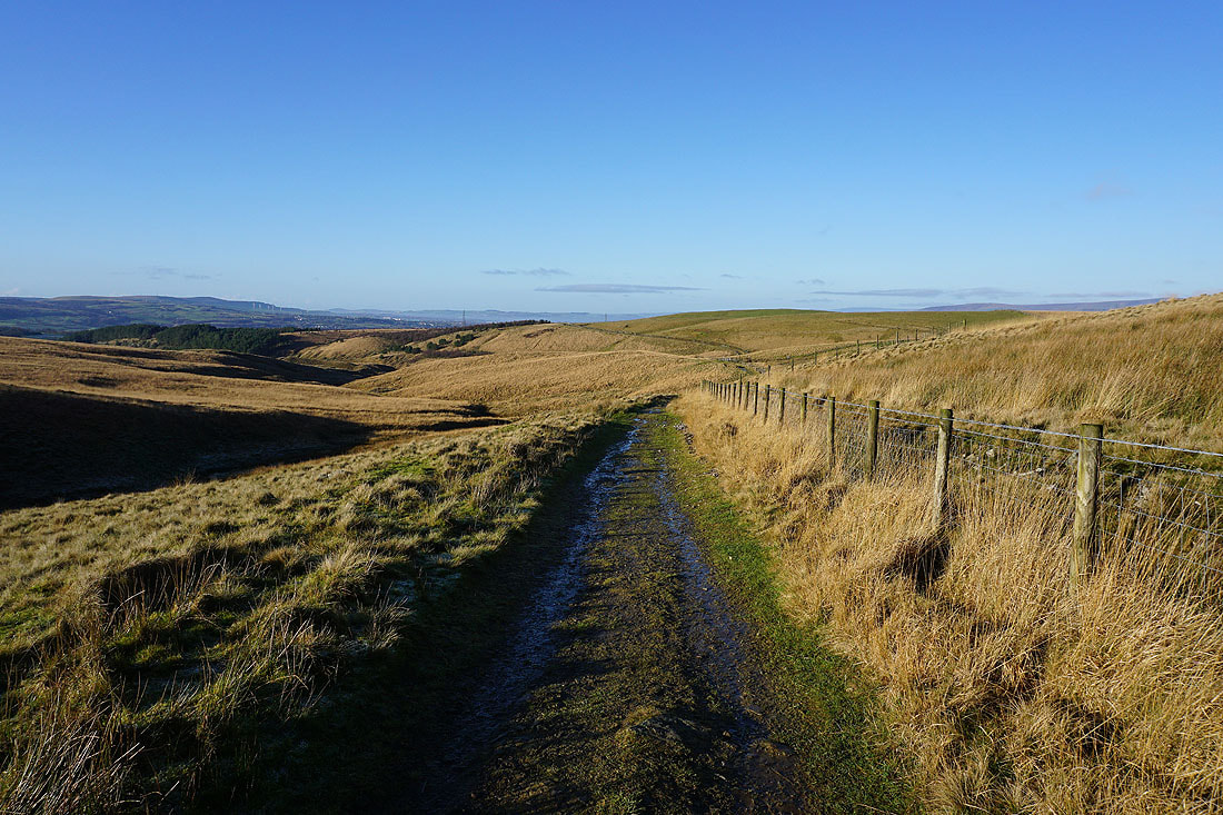
Looking back down Gorple Road towards Burnley, and higher up, Pendle Hill is now in view..
Onwards and upwards
To my right, looking south across Worsthorne Moor to Thieveley Pike in the distance
Looking back down Gorple Road to Pendle Hill in the distance as I reach the top of the track
I make the short diversion up to Gorple Stones and take in the view of Gorple Upper Reservoir
Pendle Hill to the northwest
Thieveley Pike, Cant Clough Reservoir and Hameldon Hill to the southwest
Back onto and following the Pennine Bridleway beneath Gorple Stones
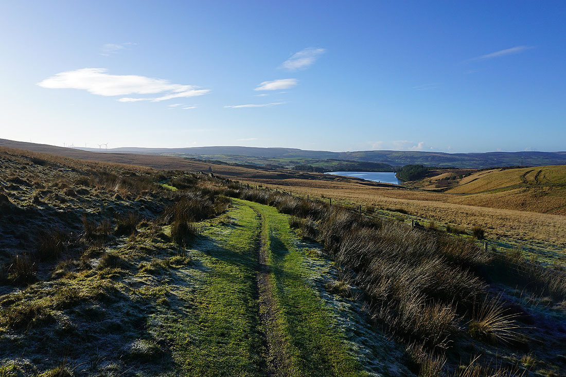
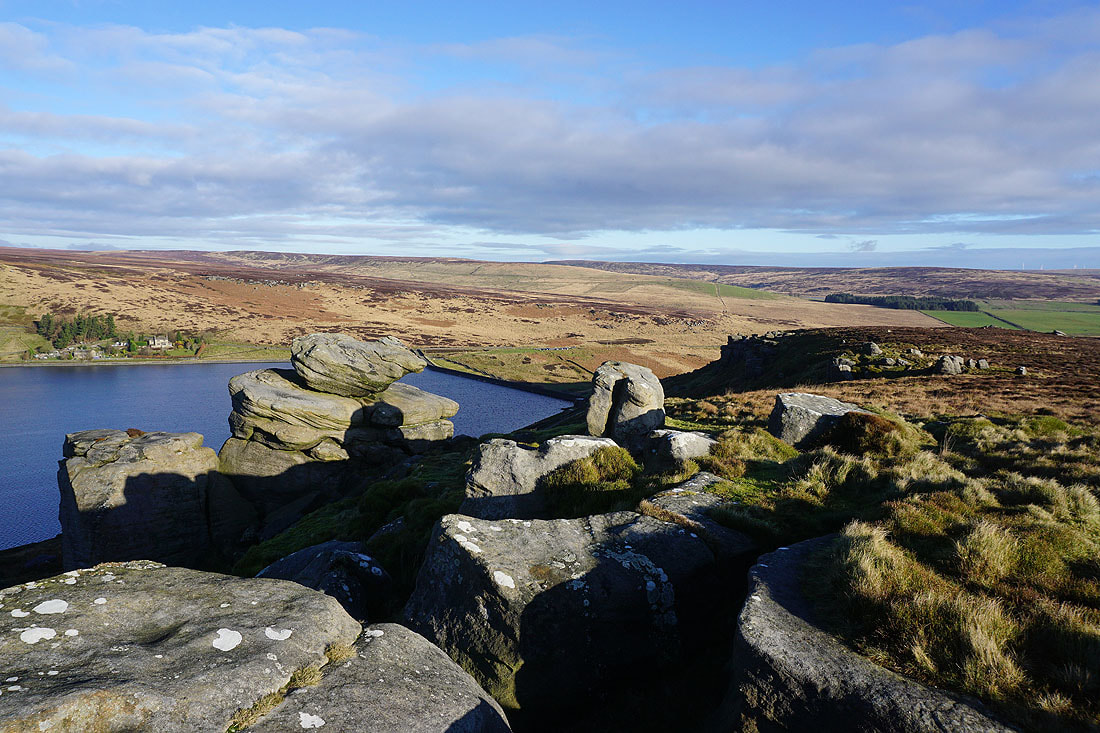
Gorple Upper Reservoir to my right
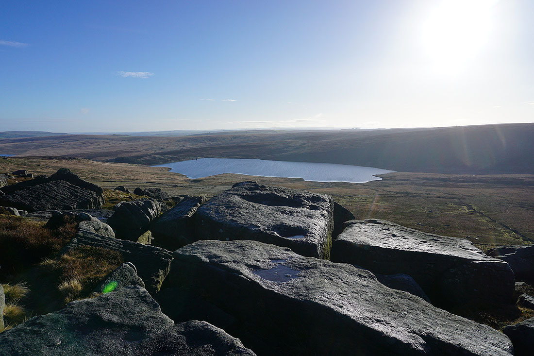
Gorple Upper Reservoir and Black Hameldon from Shuttleworth Rocks
and looking back to the Gorple Stones from Shuttleworth Moor
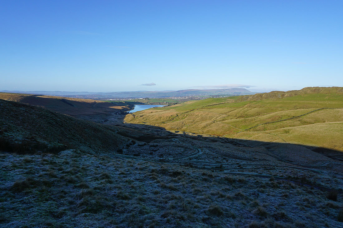
Looking east to Gorple Lower Reservoir, Standing Stone Hill, and the moors around the top of Hebden Dale
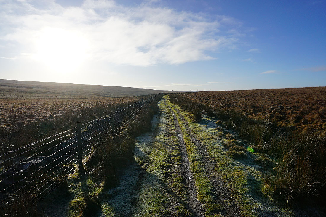
Following the Pennine Bridleway towards Widdop Reservoir
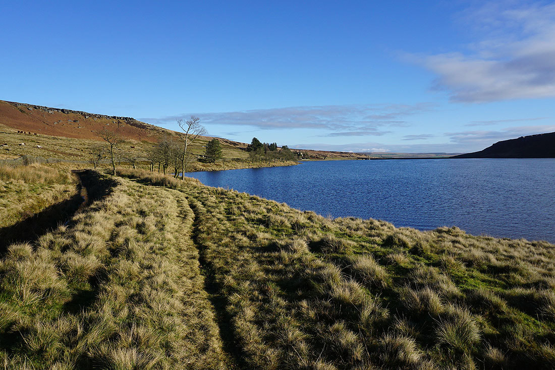
I leave the Pennine Bridleway and make my way along the top of the gritstone crags of Cludders Slack
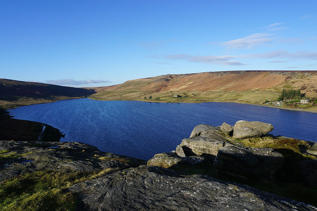
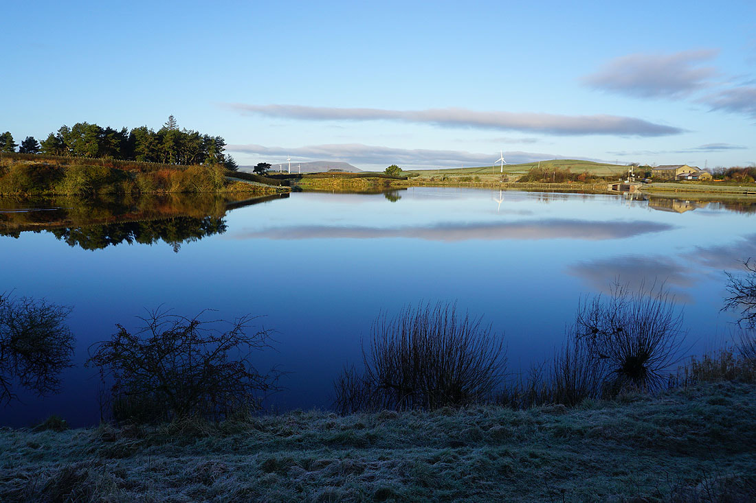
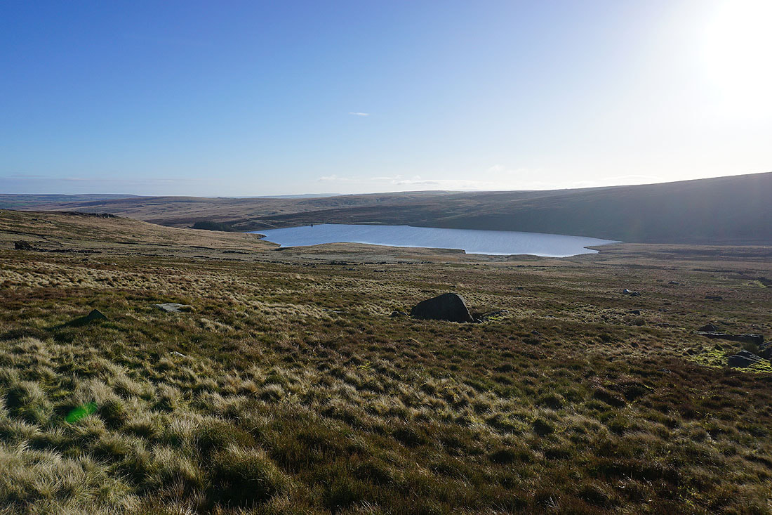
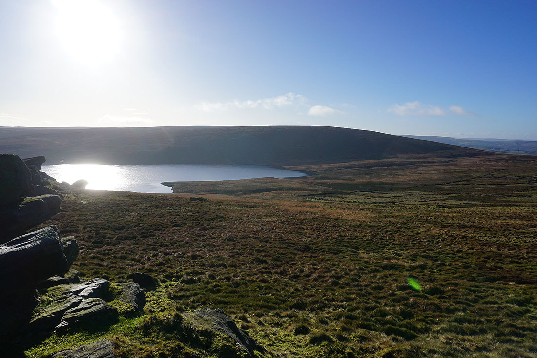
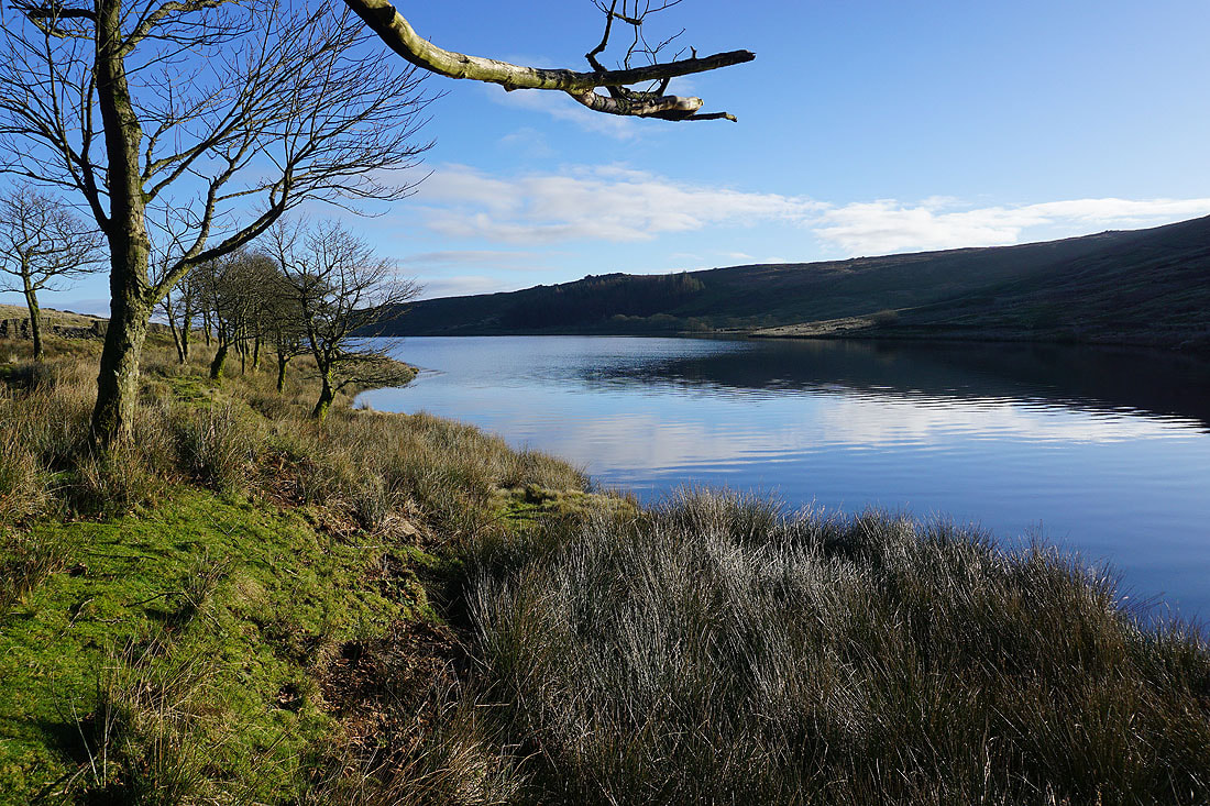
Looking across Widdop Reservoir to Grey Stone Hill and the gritstone edge of The Scout
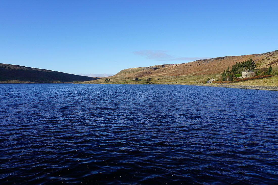
and again from the dam of the reservoir
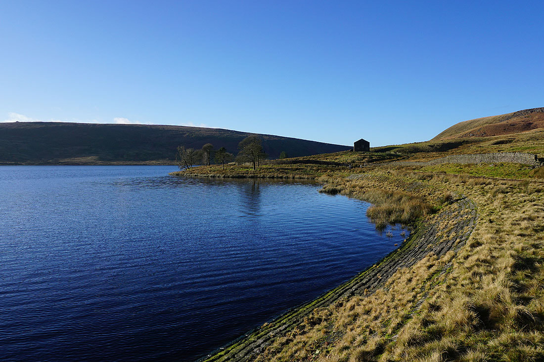
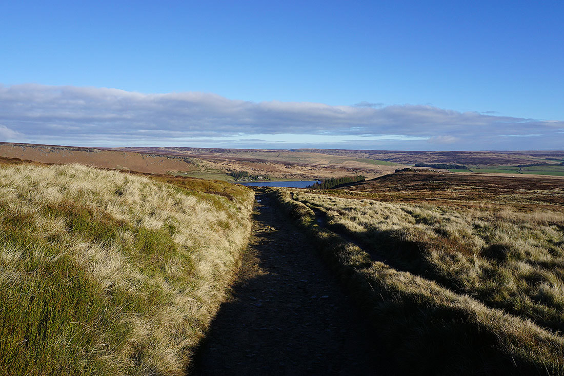
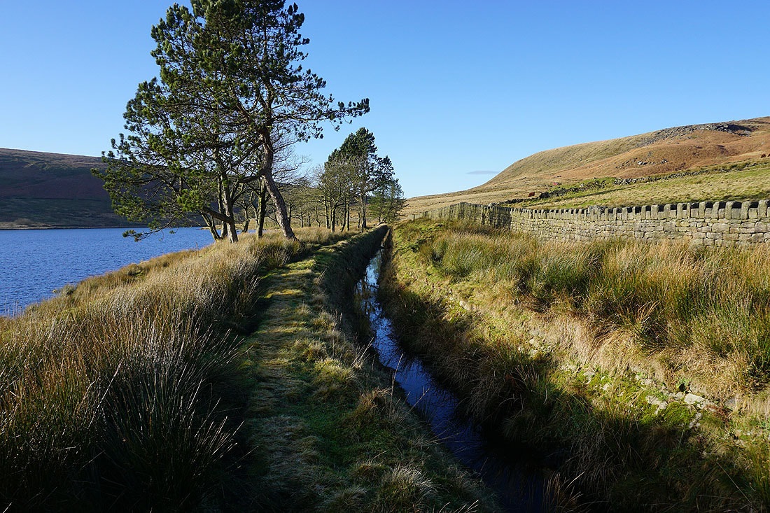
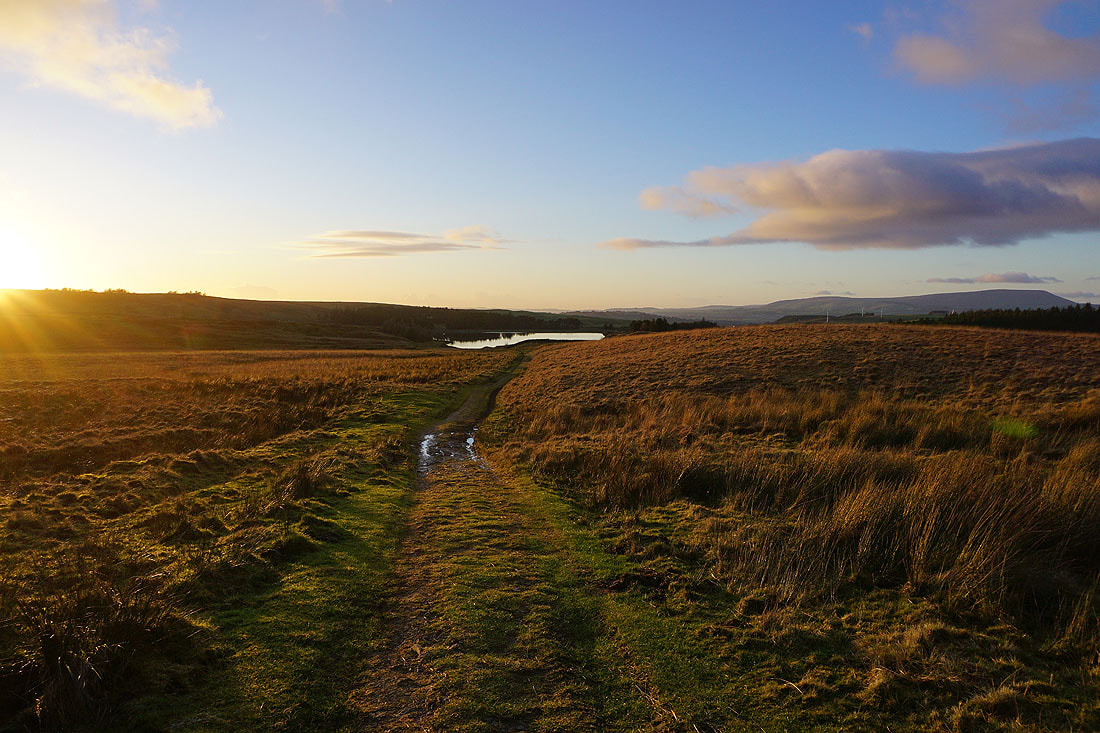
After a brief walk along the Widdop road I take a concessionary footpath along the northern shore of the reservoir....
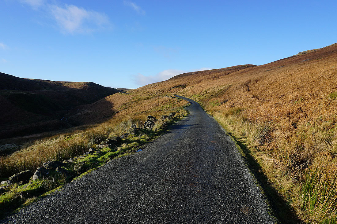
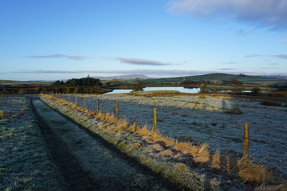
When the footpath reaches the road I walk up it to its top
Looking back as I reach the top of the road
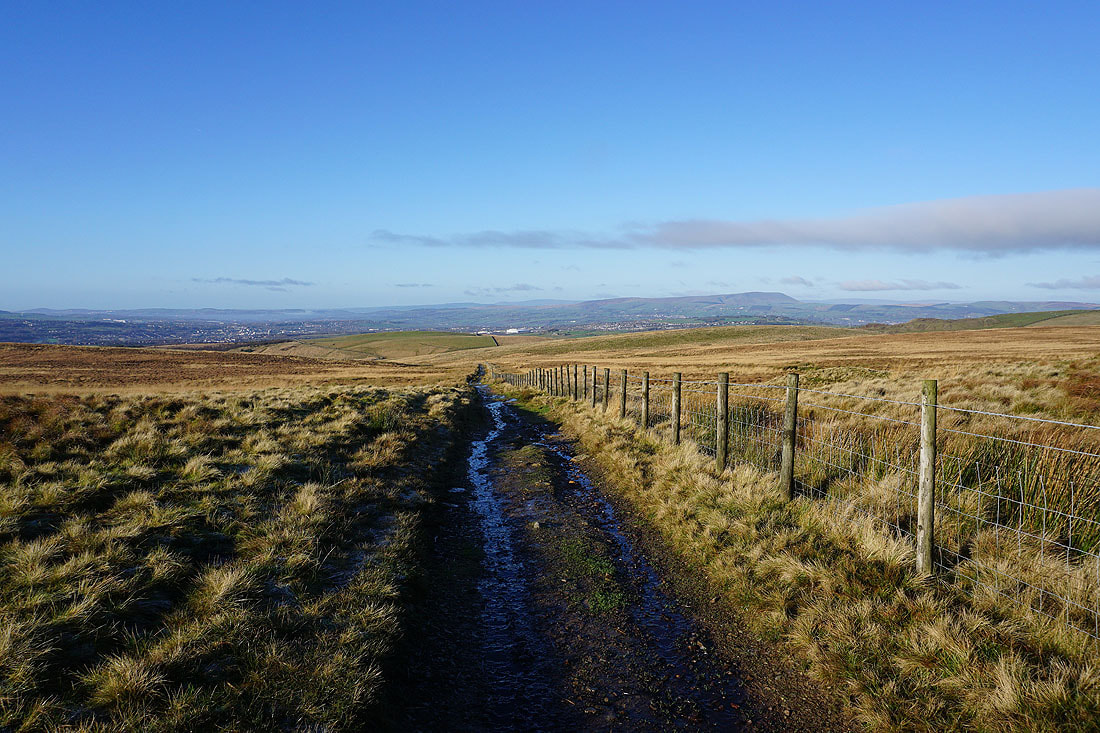
Pendle Hill and Weets Hill in the distance
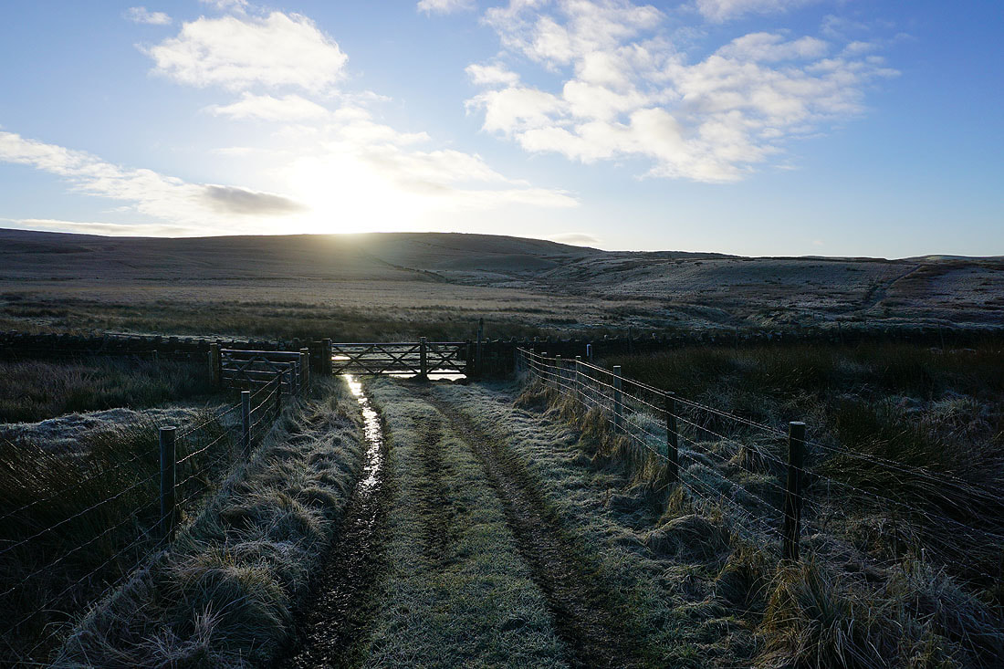
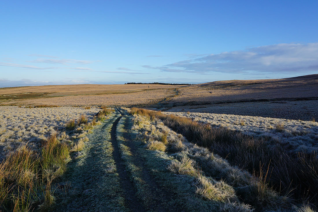
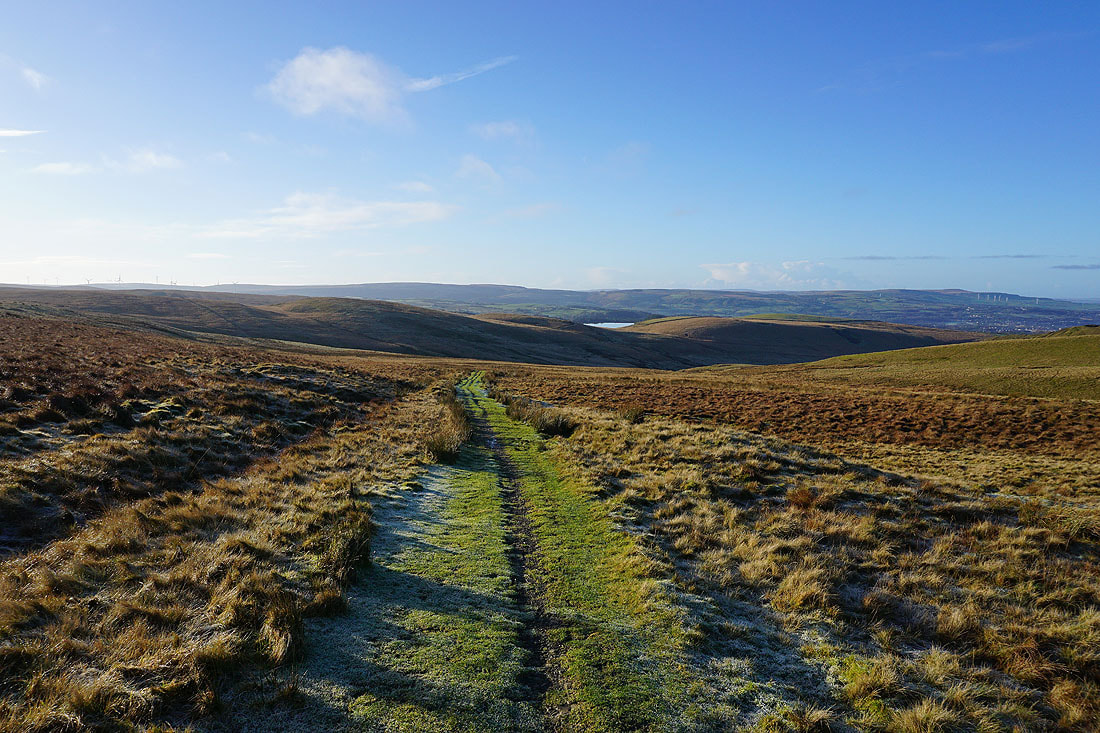
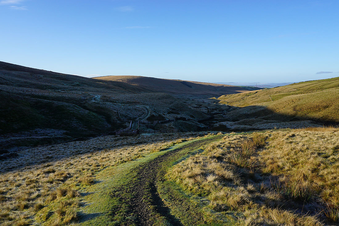
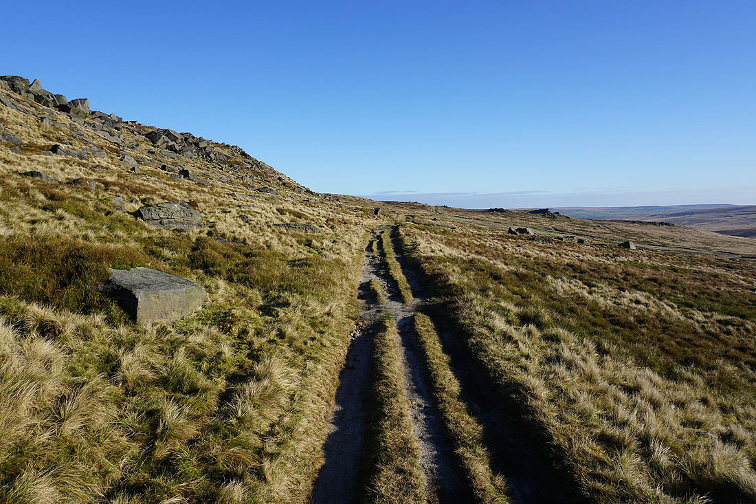
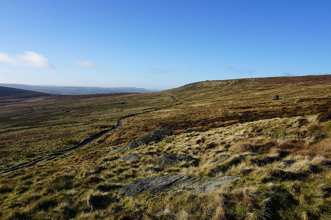
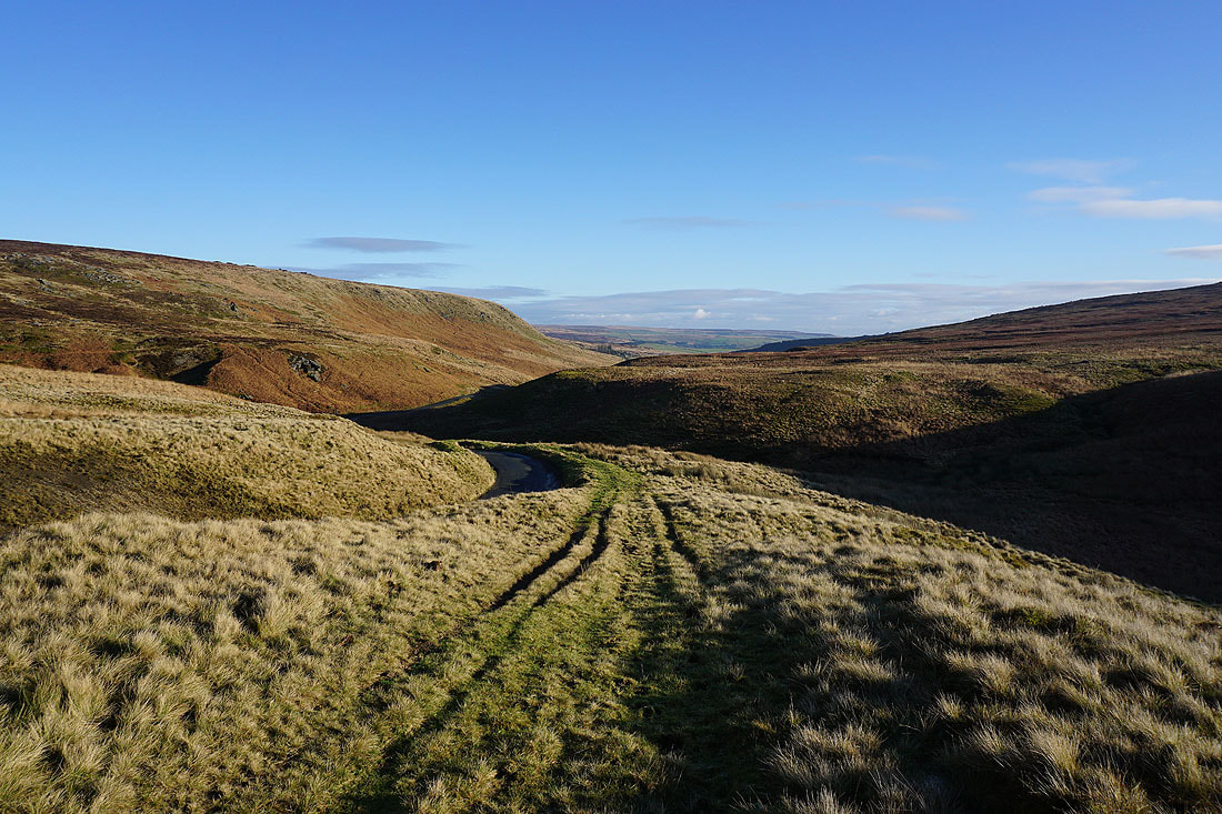
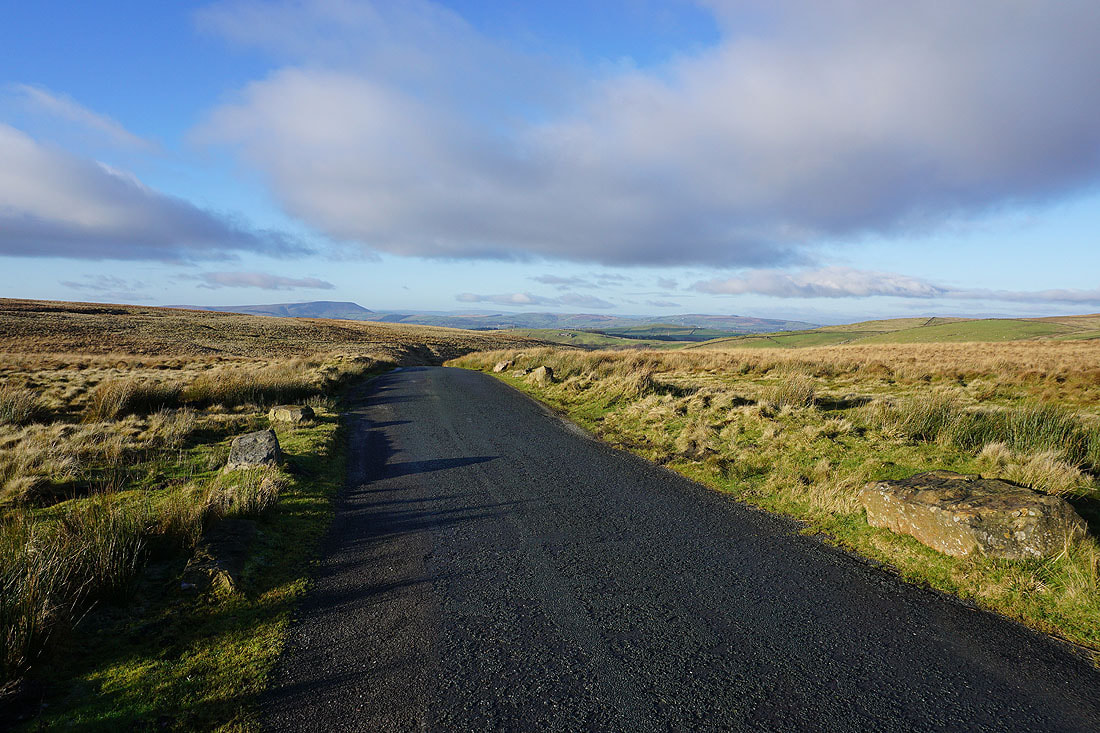
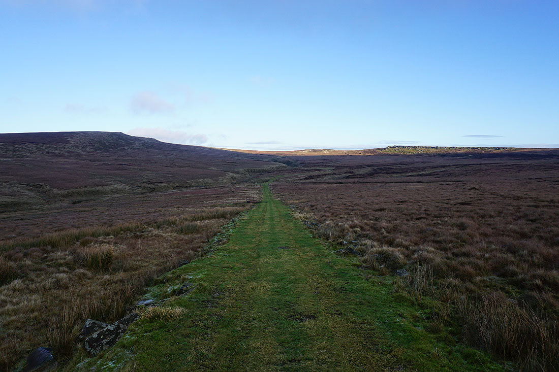
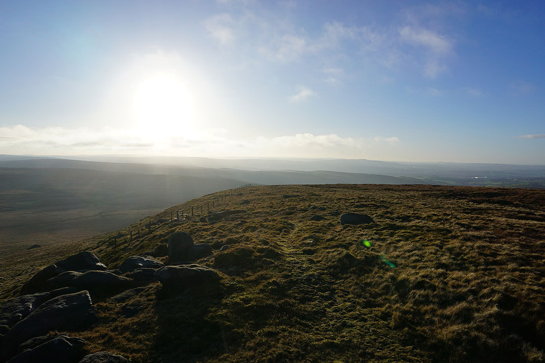
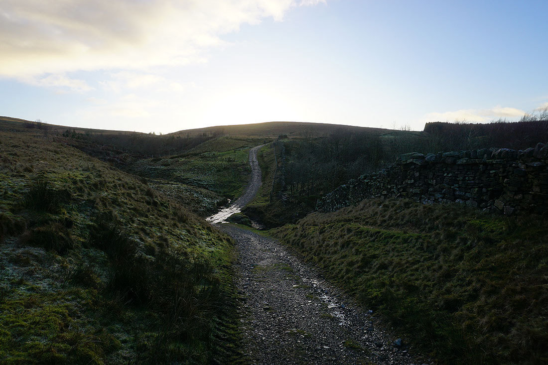
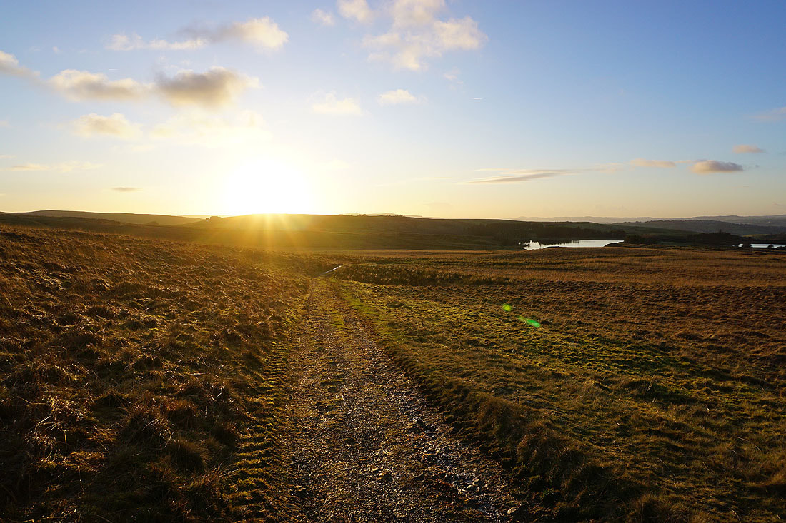
From the top of the road I take a track onto the moorland below Boulsworth Hill
To my left, Pendle Hill across winter sunshine on the surrounding moor
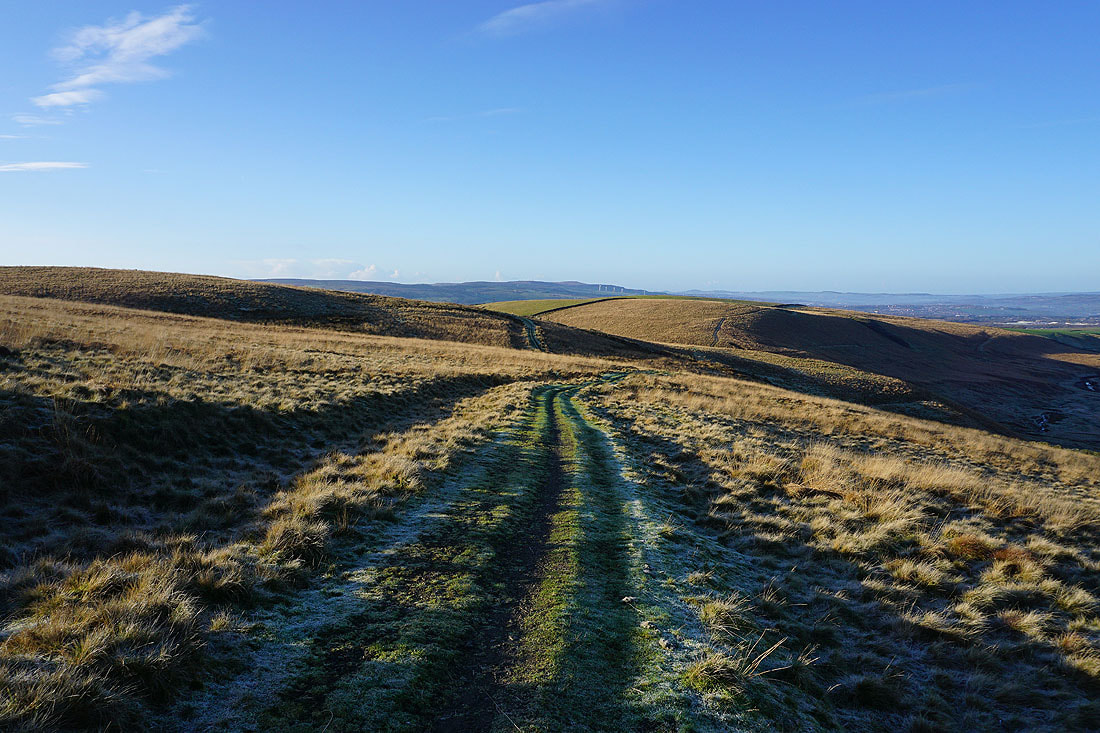
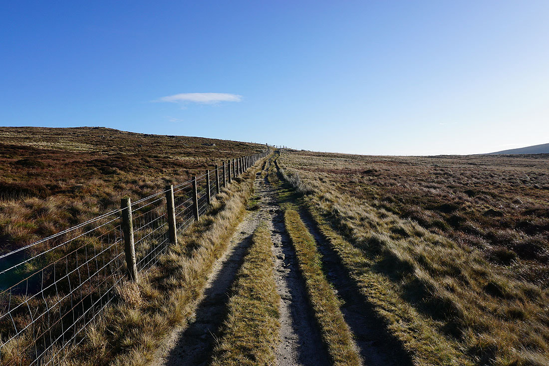
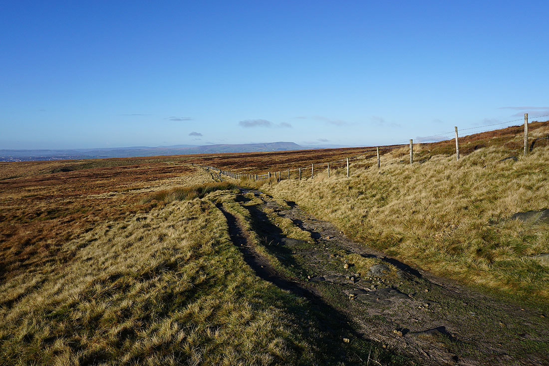
Looking back along the track
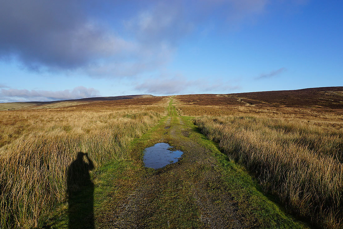
Approaching the end of the track and I take a path across Hey Slack Clough and up Boulsworth Hill..
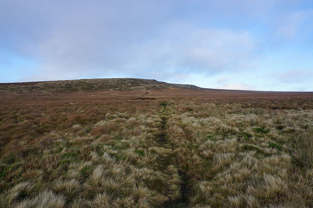
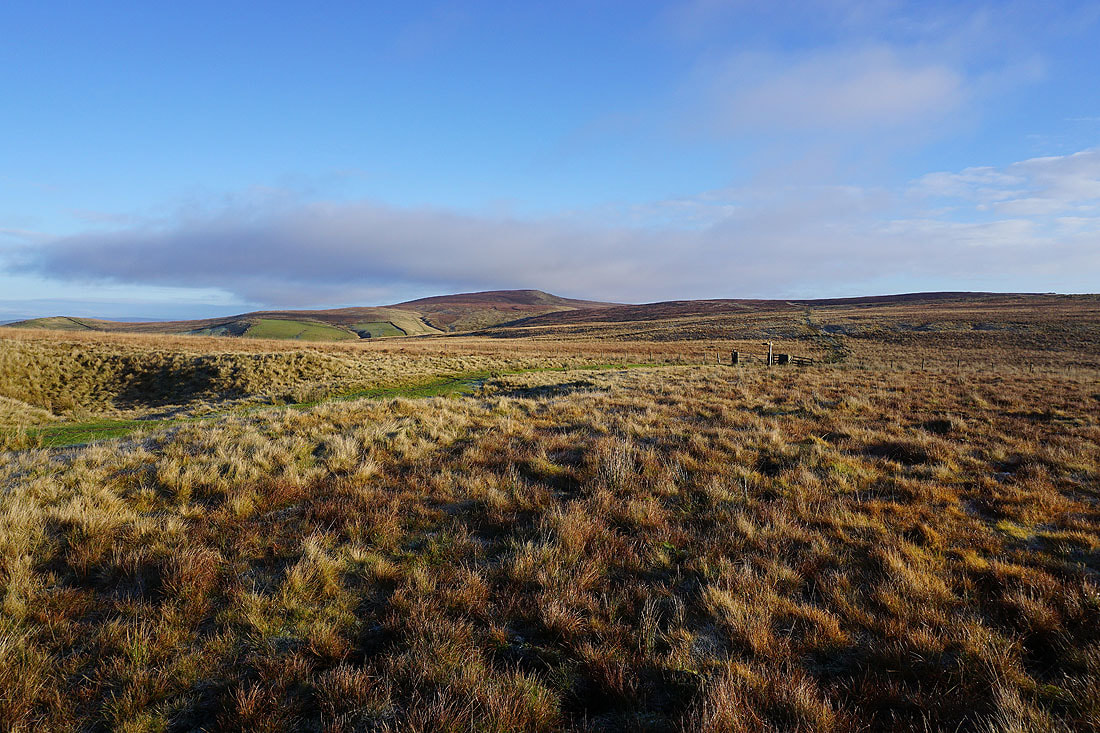
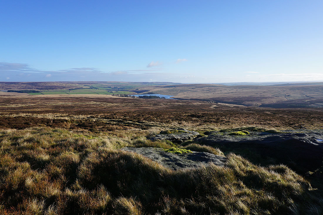
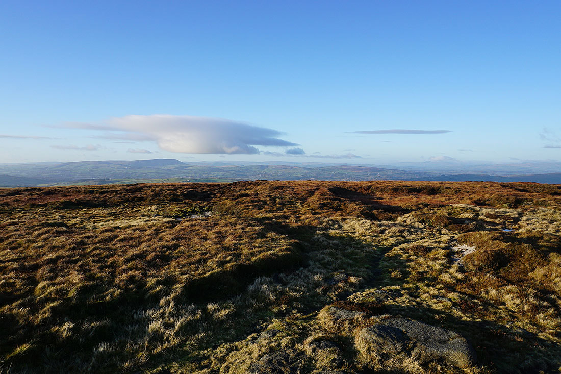
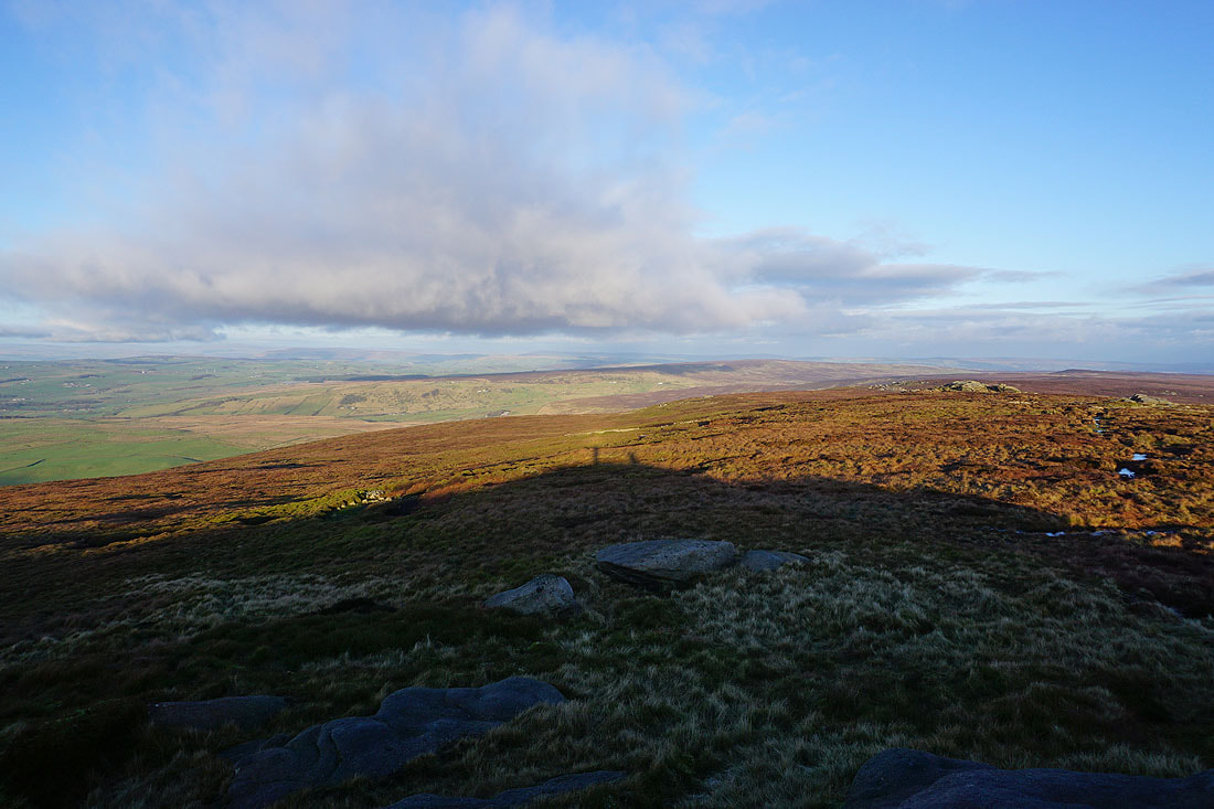
There's an increase in cloud as I reach the top of the climb and look south to Gorple Hill and Hoof Stones Height
Crow Hill and Stanbury Moor to the east
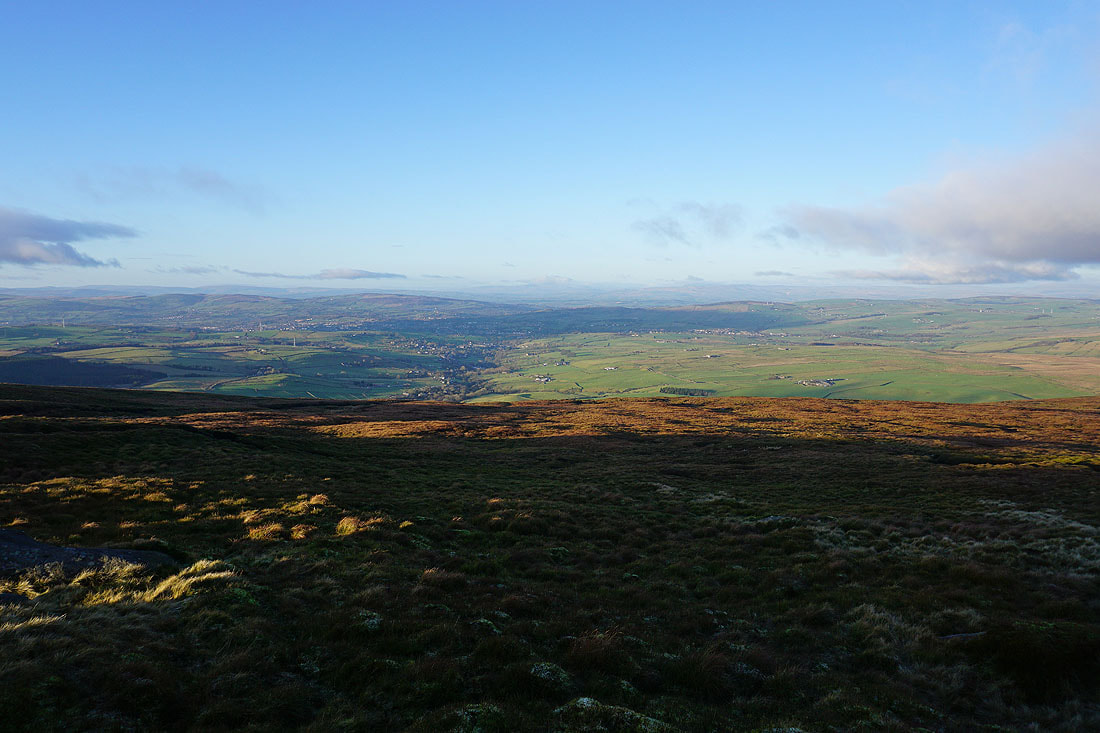
The cloud soon clears to give me a view looking southwest towards the moorland around Rossendale
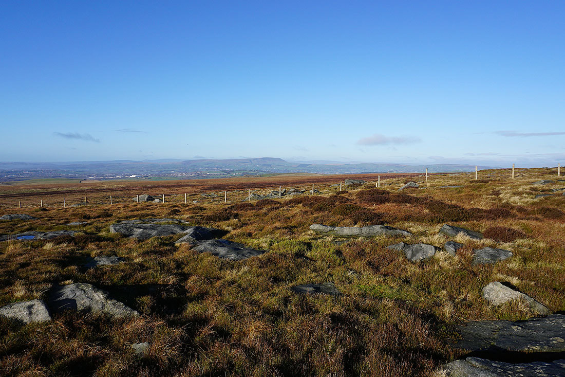
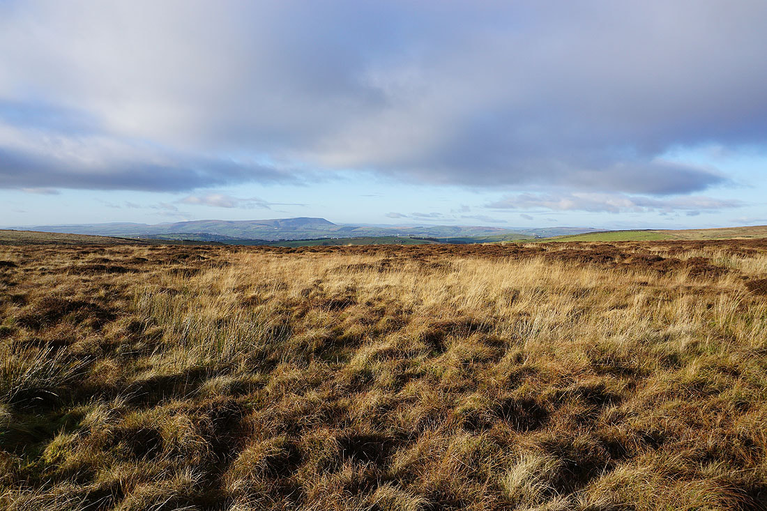
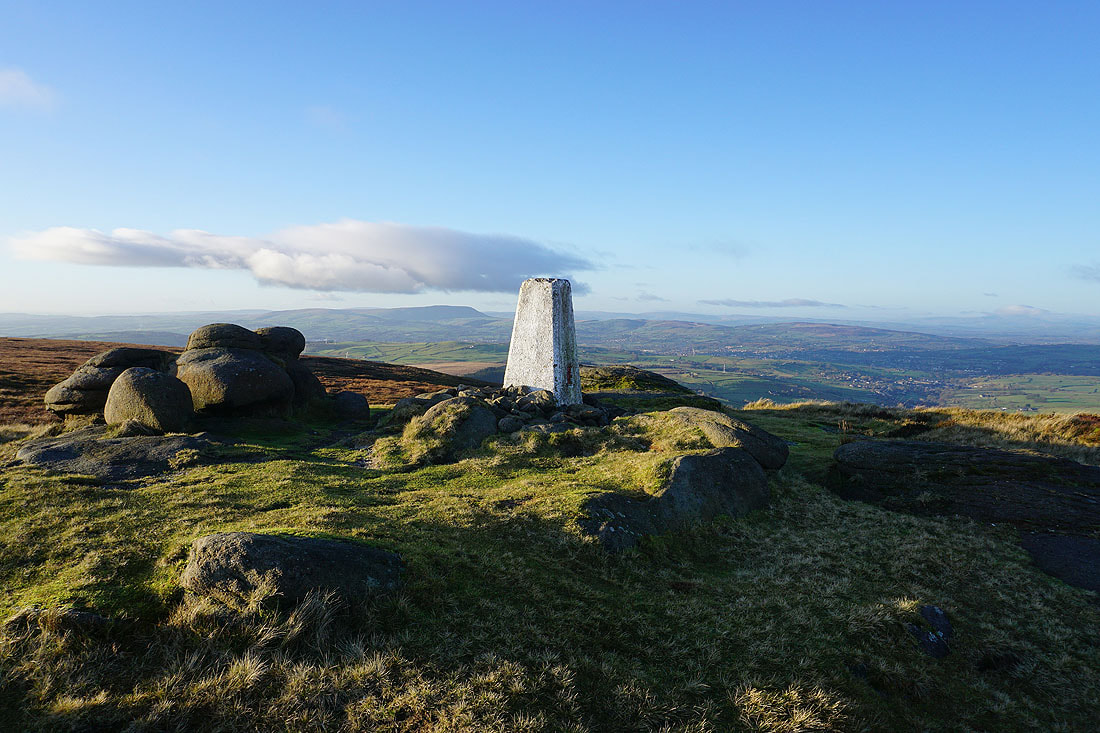
Pendle Hill and Weets Hill in the distance as I head for the trig point
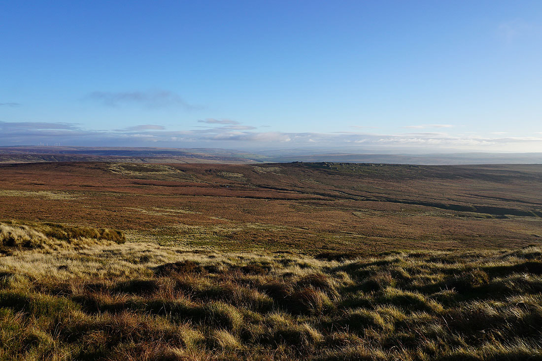
Dove Stones and the moorland of Hebden Dale and Calderdale to the south
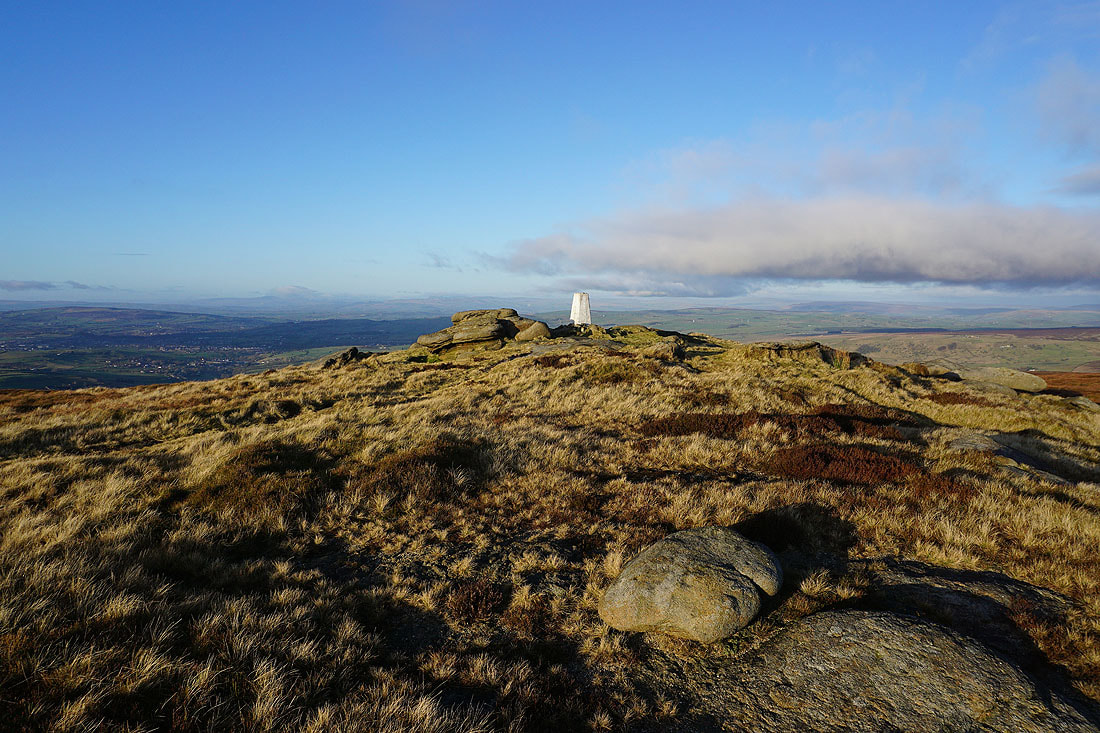
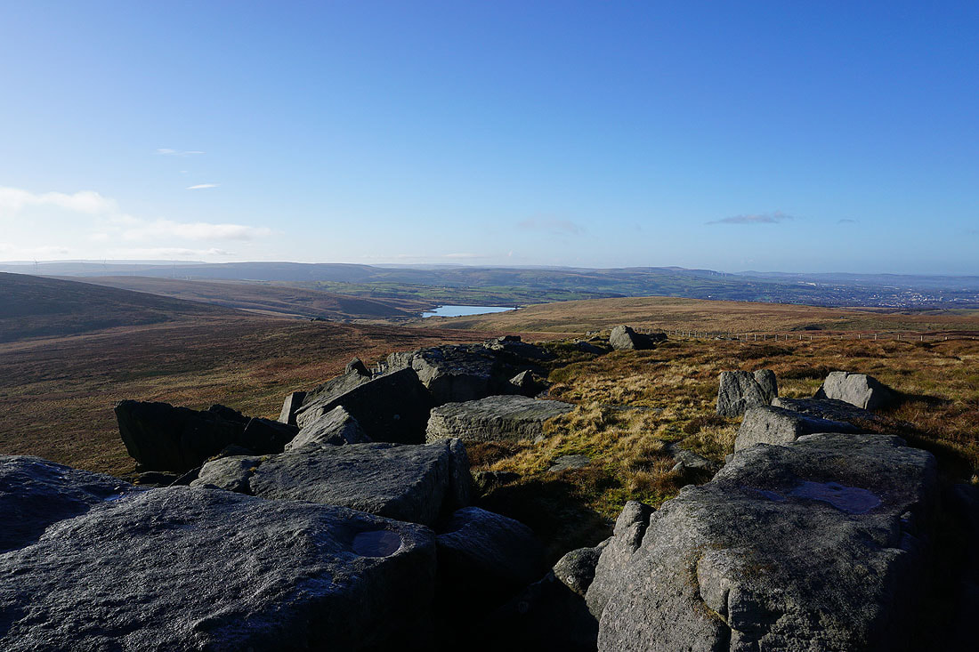
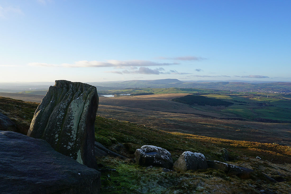
A short time later and I arrive at the trig point on Lad Law, the summit of Boulsworth Hill..
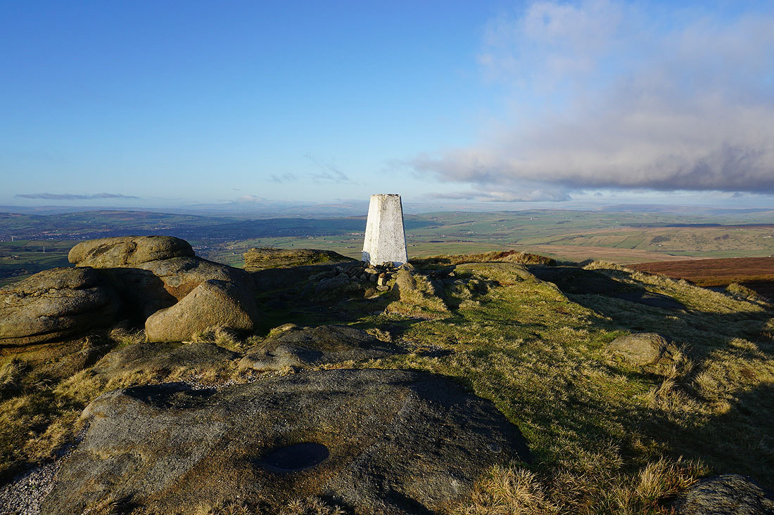
Pendle Hill in the distance
The low winter sun is giving some great colour to the moors as I take in the view of Combe Hill, Wolf Stones, and Crow Hill to the northeast
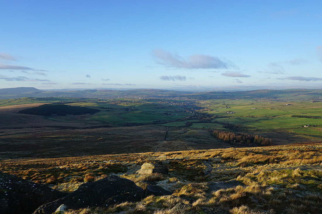
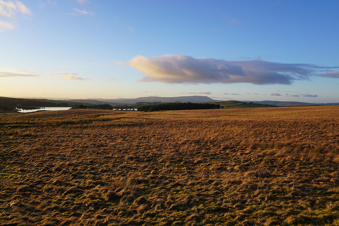
Looking north to Wheathead Height, Weets Hill, Colne, Trawden, Kelbrook Moor and Pinhaw Beacon. The visibility is just good enough to make out the Forest of Bowland and the Yorkshire Dales in the distance.
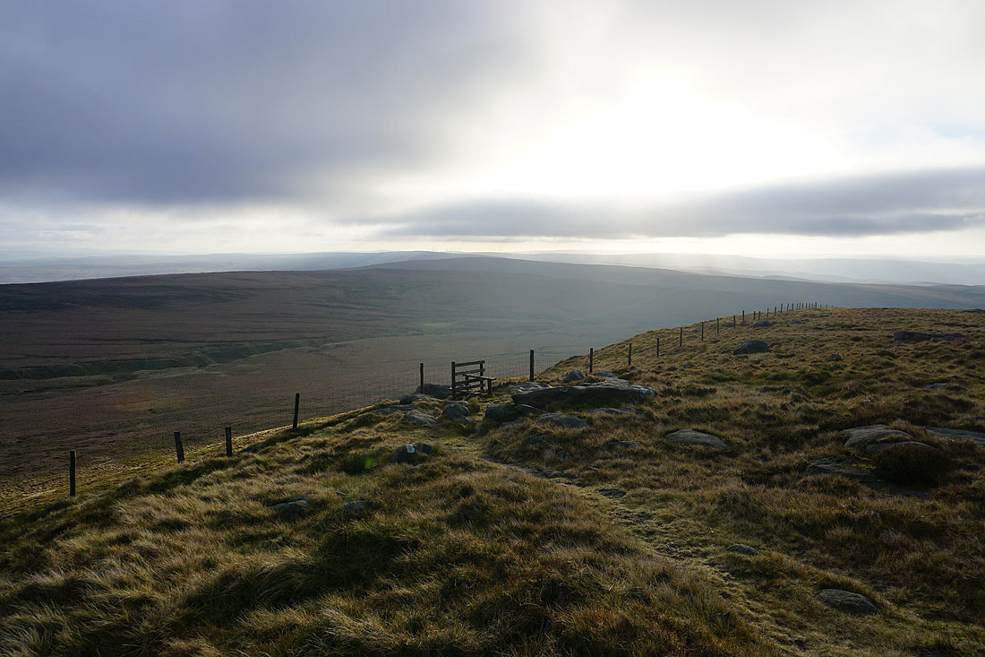
The Coldwell Reservoirs and Pendle Hill as I make my way down past the Abbot Stone
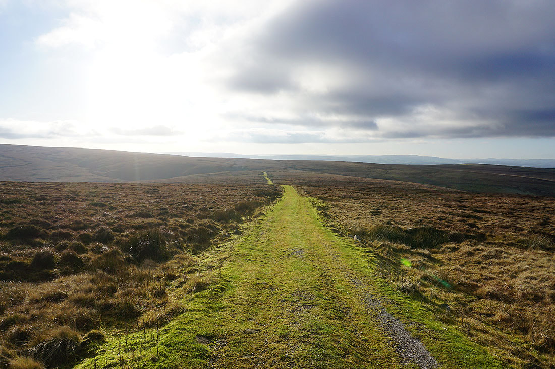
I have a great view to the north as I follow the path down to the Pennine Bridleway..
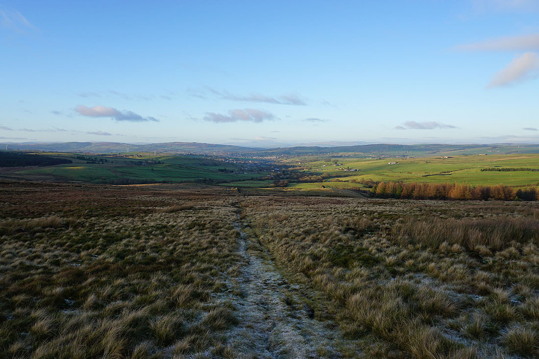
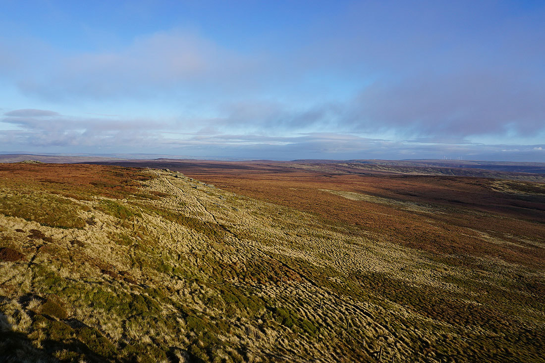
Heading west on the Pennine Bridleway
Looking back east along the Pennine Bridleway as I follow it west
The Coldwell Reservoirs and Pendle Hill across Deerstone Moor as the sun sets..
On the Pendle Way to Lower Coldwell Reservoir
Back above Lower Coldwell Reservoir