6th July 2019 - Great Whernside from Middlesmoor
Walk Details
Distance walked: 17.1 miles
Total ascent: 2631 ft
OS map used: OL30 - Northern & Central areas
Time taken: 8.5 hrs
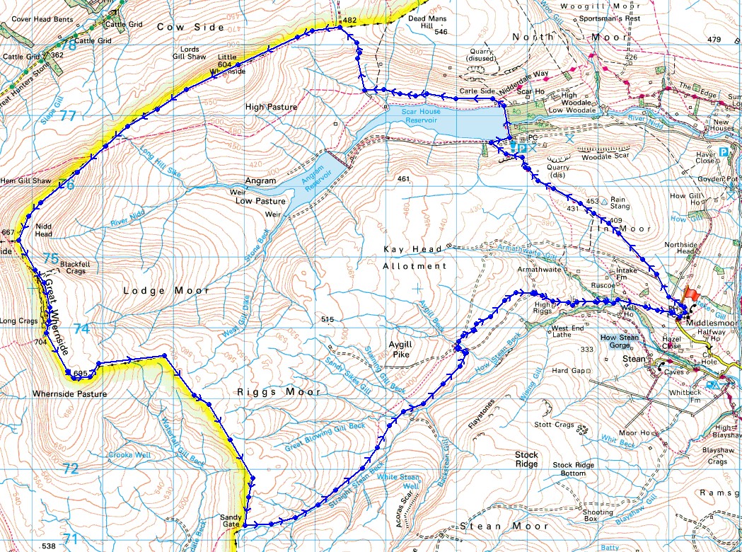
Route description: Middlesmoor-In Moor Lane-Scar House Reservoir-Carle Fell Road-Little Whernside-Great Whernside-Stone Head Crag-Riggs Moor-Sandy Gate-Straight Stean Beck-Aygill Beck-High Pasture-High Riggs-Low Riggs-Middlesmoor
I started thinking about doing this walk a few weeks ago when I rediscovered it in a guide book on Wharfedale and Nidderdale that I've had for many years. At the time I dismissed it as one that I'd never do, not just because of the length but also where it started from. I've already done a few walks in Nidderdale after moving home in April and 17 miles is only a little longer than a few of the walks that I've done during recent years. Having decided that I was going to do it I just needed to wait for a suitable day, a fine summer's day, like the one that I enjoyed with lots of sunshine, though not hot. A bonus was recent dry weather meaning that the bits that I expected to be wet underfoot weren't a problem. I thoroughly enjoyed the day, it was perfect for being up on the fells and apart from sore feet I didn't suffer any after effects.
From the car park at the top of Middlesmoor I followed the track of In Moor Lane (part of the Nidderdale Way) up and over In Moor and down to the dam of Scar House Reservoir. After crossing the dam of the reservoir I took the track of Carle Fell Road west and then north up onto the moors. When it reached its summit on the crossing over to Coverdale I left it and turned west to follow the fence up to the summit of Little Whernside. After taking a break for lunch I continued to follow the line of the fence west and then south to eventually arrive on the summit of Great Whernside, where I stopped for another break. I then made my way to the south top of Great Whernside and then east to Stone Head Crag. The toughest part of the walk was next, as I followed the fence east and then south across Riggs Moor to Sandy Gate. I was able to keep close to the fence for the most part with just the odd bit of bogginess that needed avoiding. At Sandy Gate I turned left and followed the footpath east above Straight Stean Beck. I found it difficult to keep to at times with not much evidence of it actually existing on the ground, so aimed for the water company tracks where Great Blowing Gill Beck and Straight Stean Beck meet. I then followed the track northeast until I reached Aygill Beck where I took another track up the hillside and across Aygill Beck to pick up the public footpath northeast across High Ground and High Pasture and down to High Riggs. I then followed the track down to Low Riggs where I went through the farmyard and onto the footpath down through fields to a bridge over Armathwaite Gill. Once across, a footpath up through fields took me back to Middlesmoor.
Route map
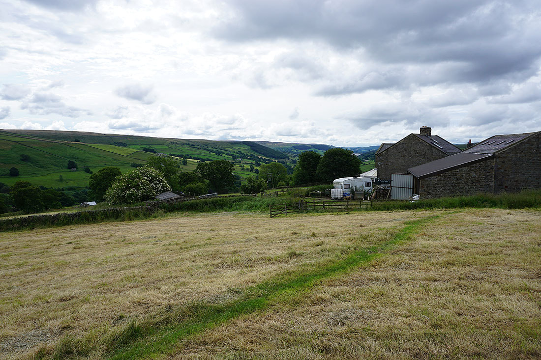
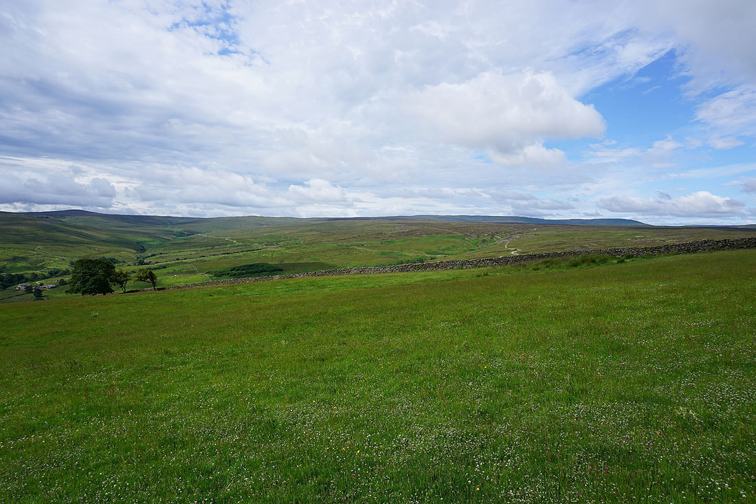
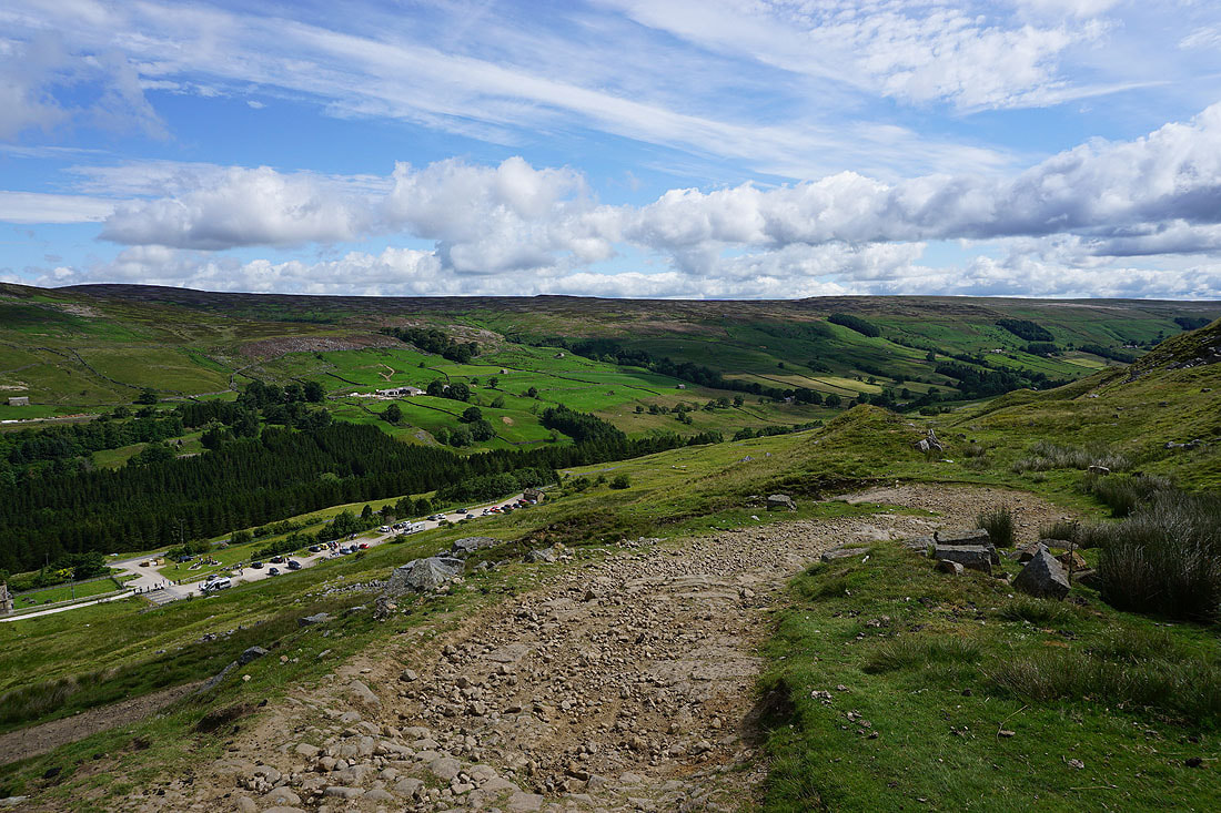
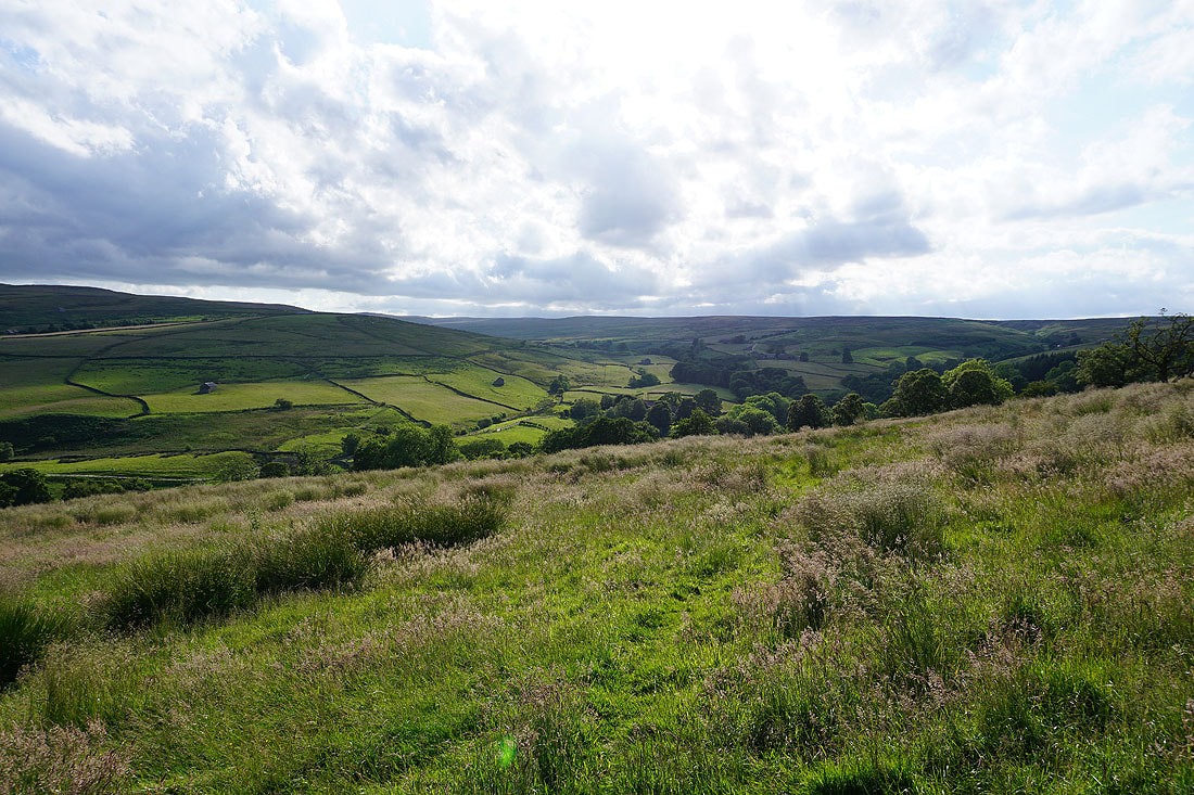
Looking down Nidderdale from the car park at the top end of Middlesmoor
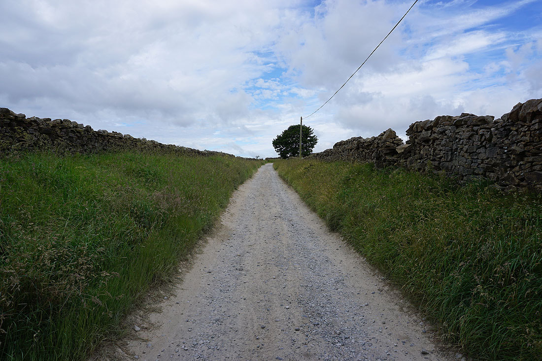
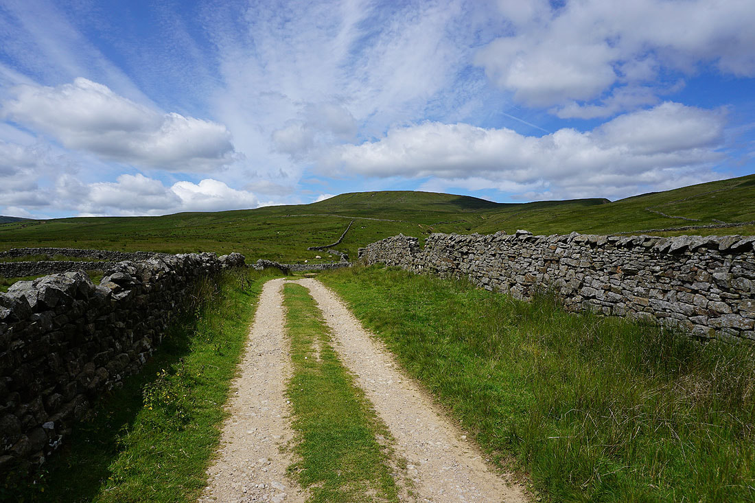
Leaving Middlesmoor on the bridleway of In Moor Lane
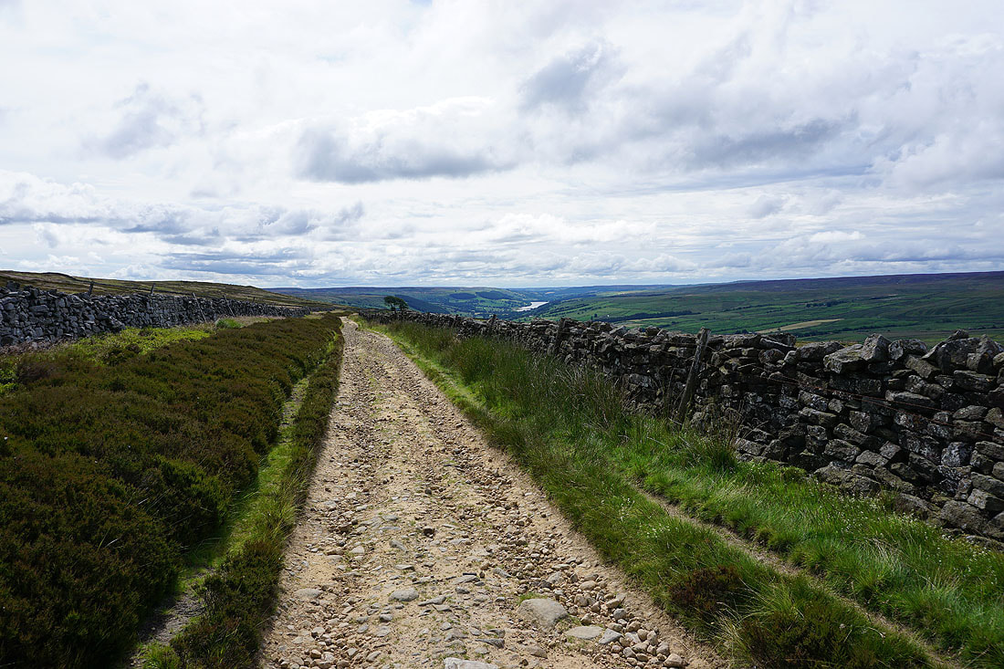
Looking back with Gouthwaite Reservoir in the distance
The bulk of Riggs Moor and Great Whernside to my left
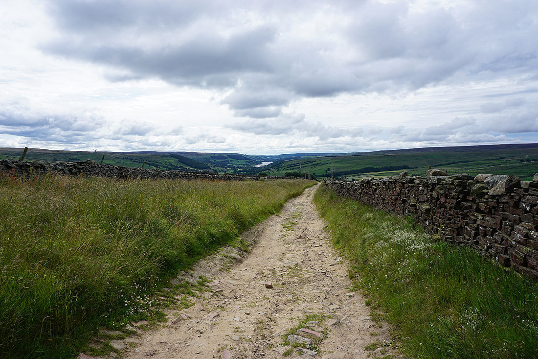
A last look back as the bridleway nears its top
Little Whernside appears ahead
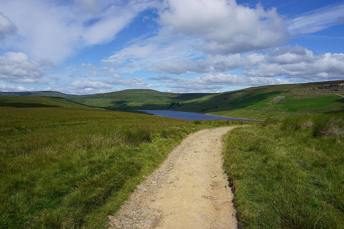
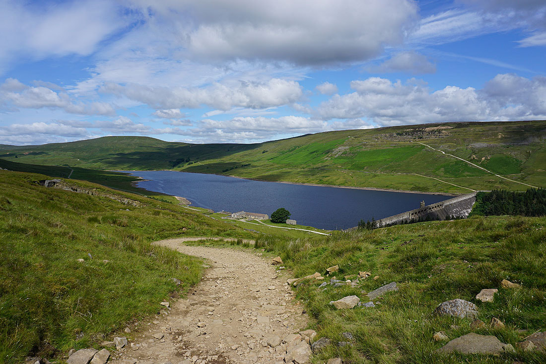
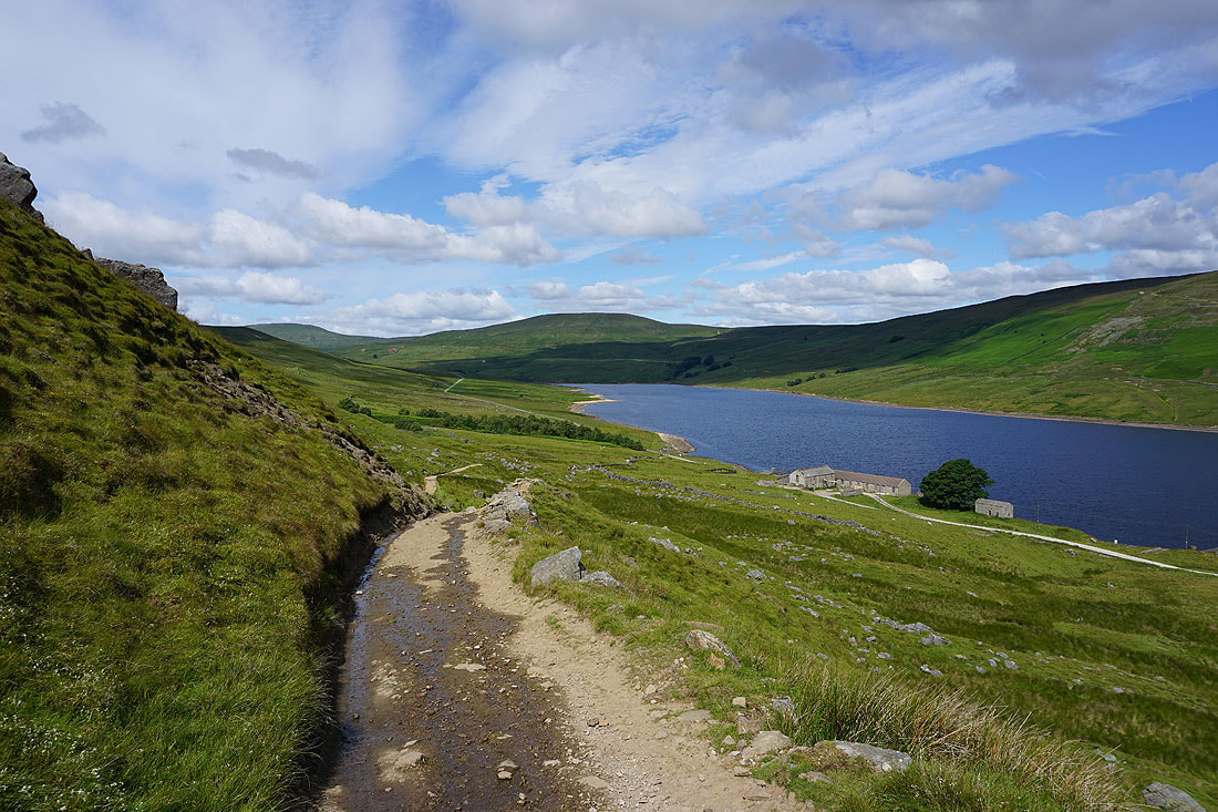
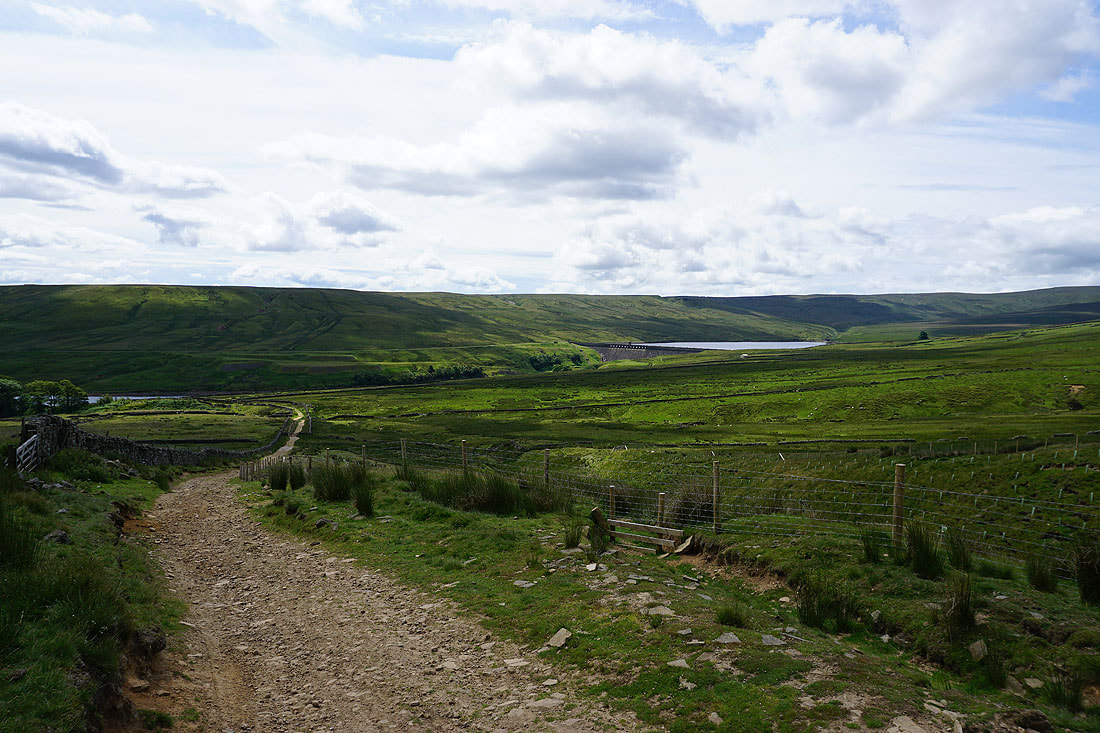
and then Scar House Reservoir as the bridleway makes its descent..
Great Haw and Little Haw on the other side of Nidderdale
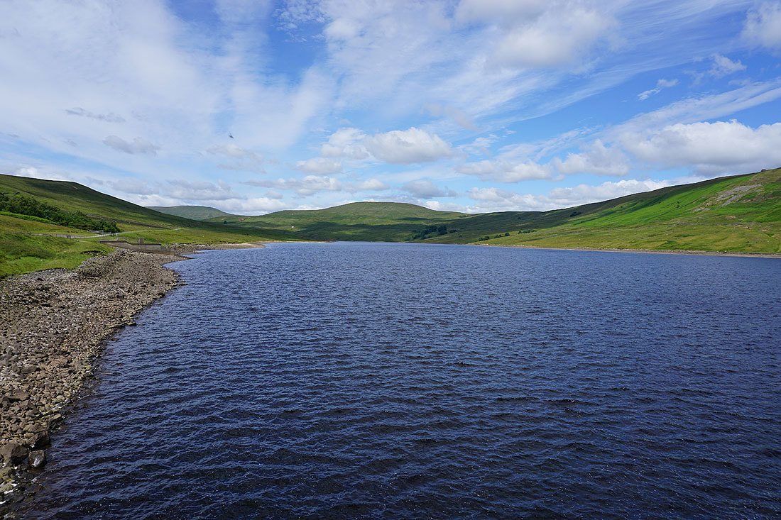
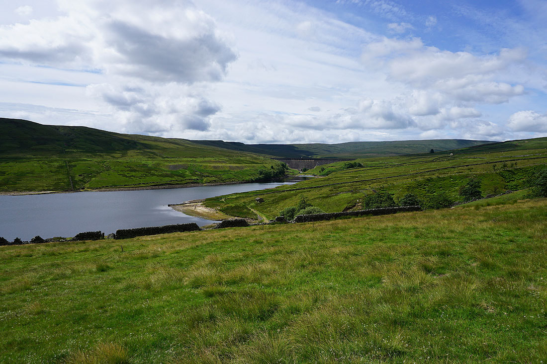
Following the bridleway down to the dam of Scar House Reservoir. Great views of the fells surrounding the head of Nidderdale...
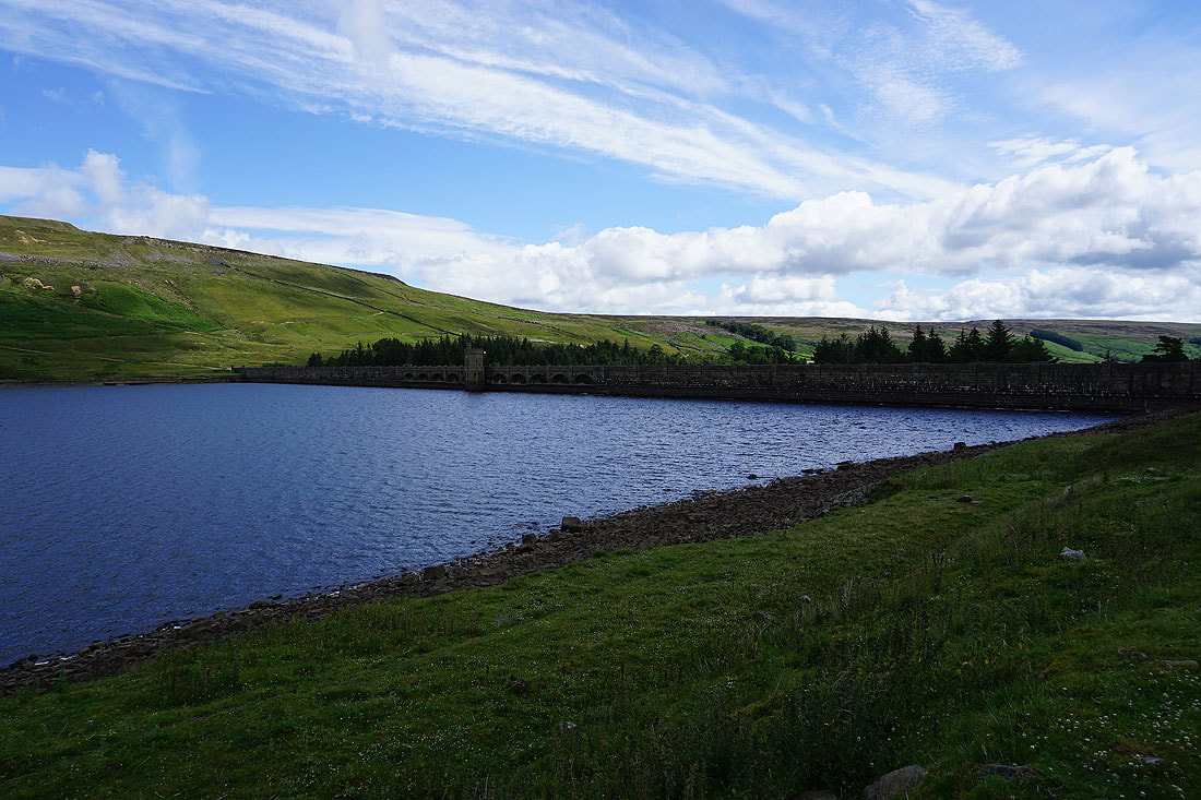
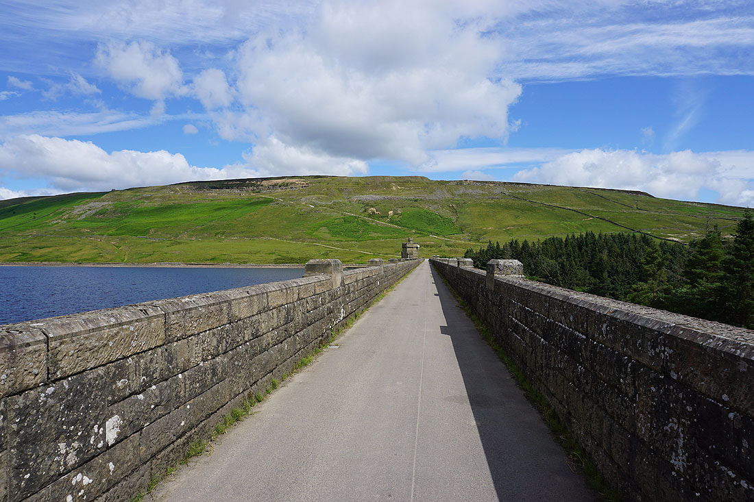
Carle Fell Side ahead as I cross the dam
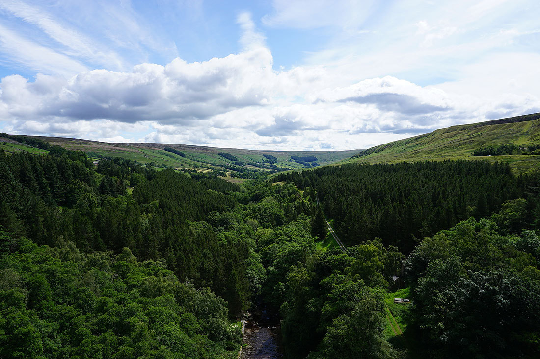
Looking down Nidderdale from the dam of Scar House Reservoir
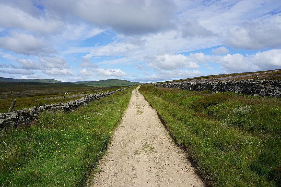
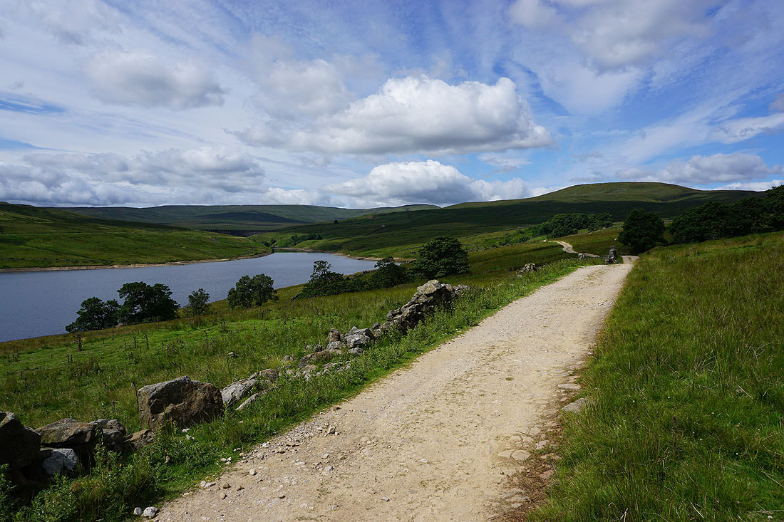
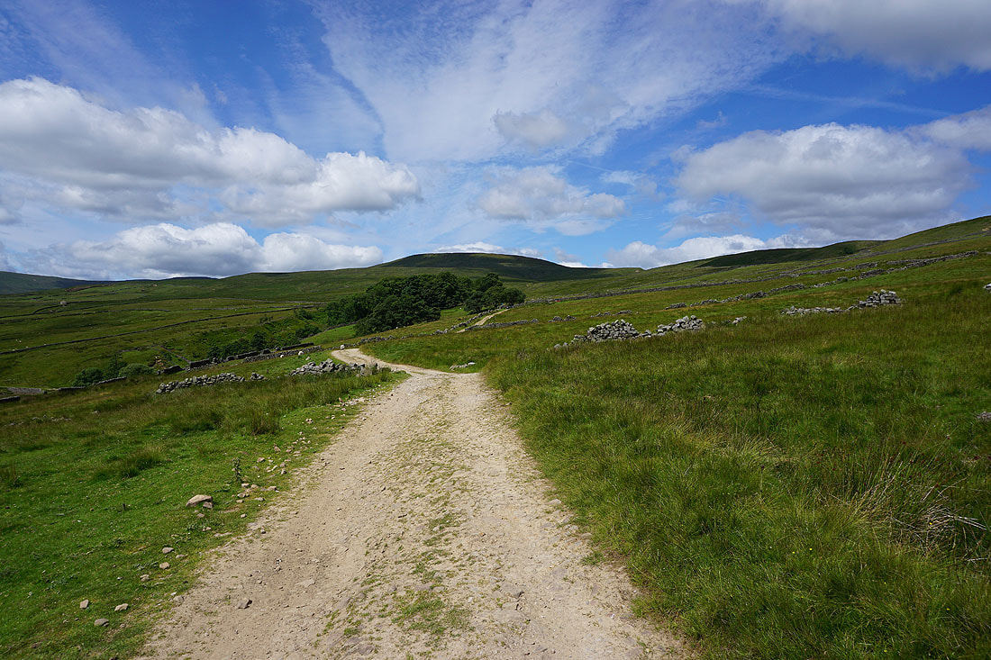
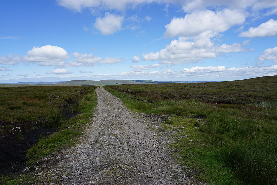
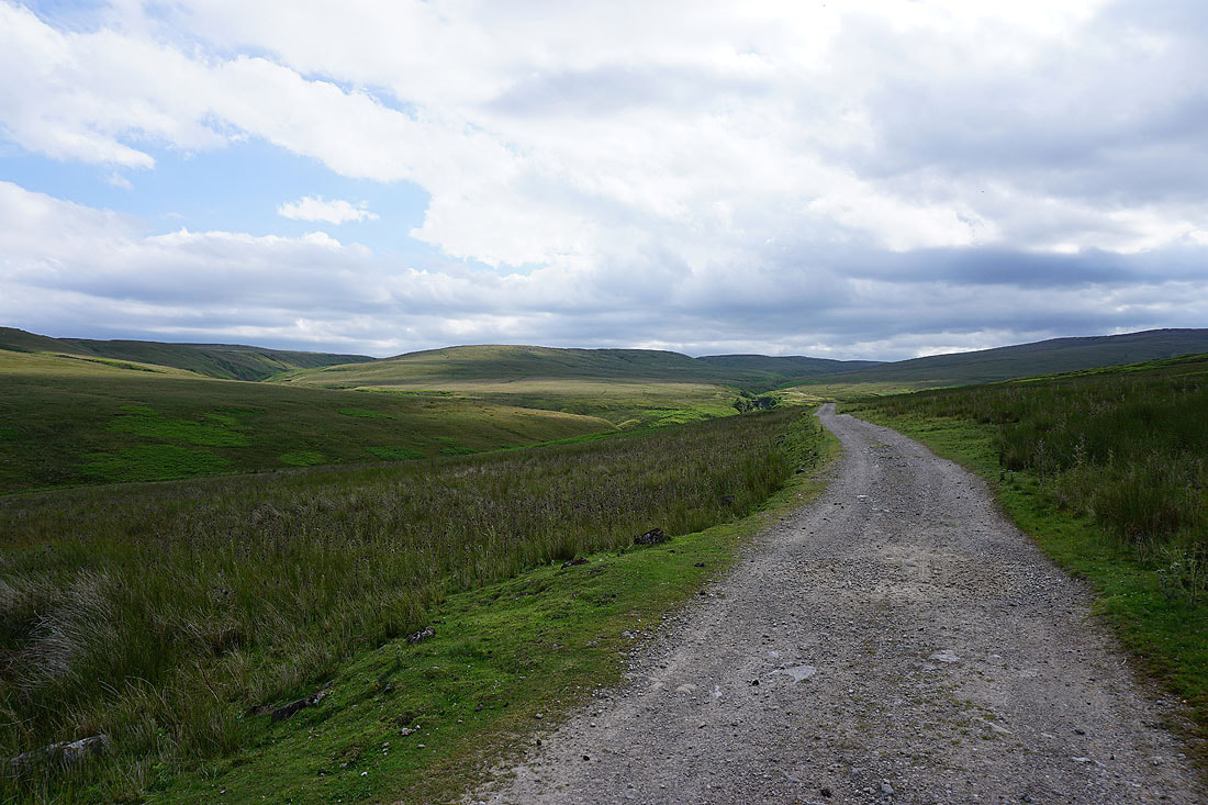
Heading west along the track of Carle Fell Road. There are fabulous views of the surrounding fells, including Great Whernside and Little Whernside, which look even better under this sky...
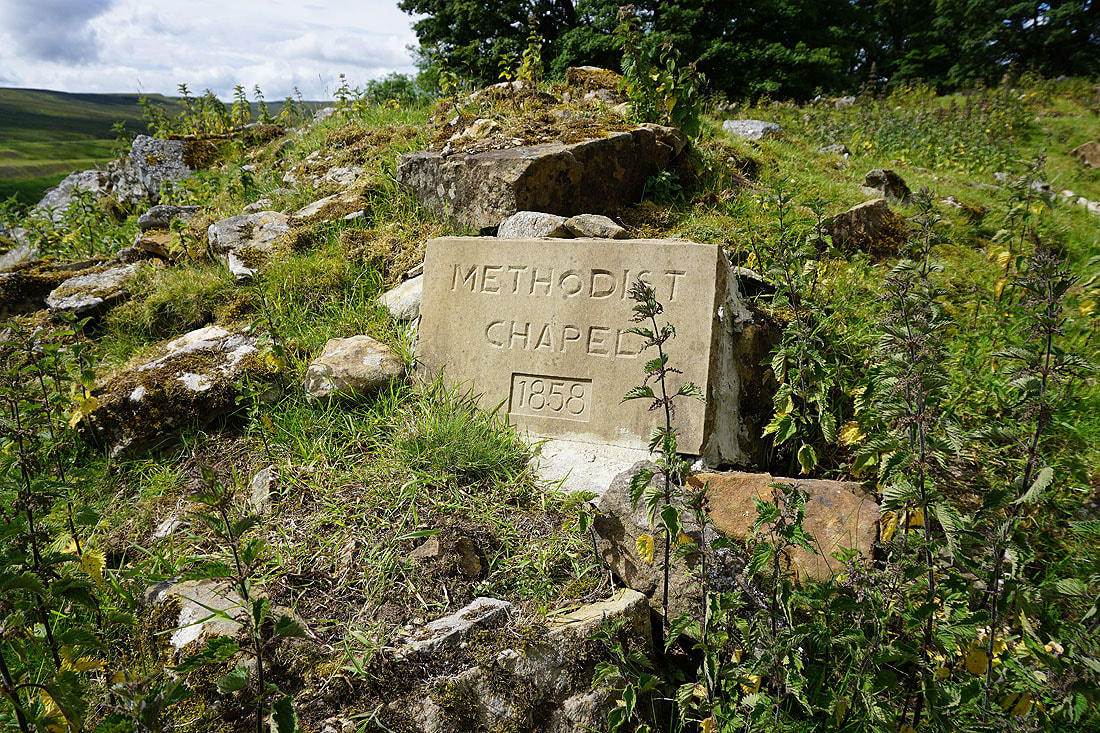
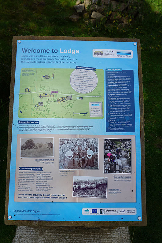
Passing through the ruins of the abandoned hamlet of Lodge..
Past Lodge and the track heads uphill to cross the moor over to Coverdale to the east of Little Whernside
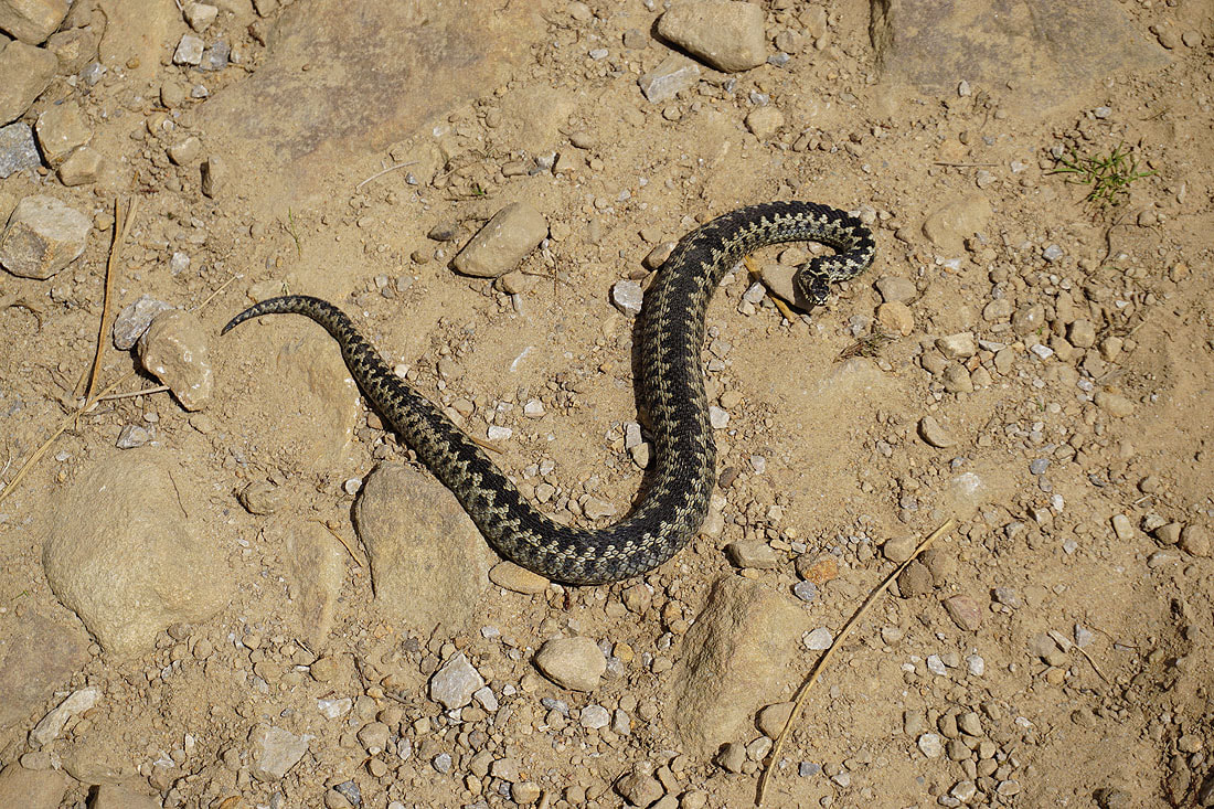
As I climb the track I'm literally stopped in my tracks. An adder is blocking my path. It's the first time that I've seen one and it would have been hard to miss it. I must have caught it warming itself up in the sun.
Looking back down into Nidderdale with Angram Reservoir on the right
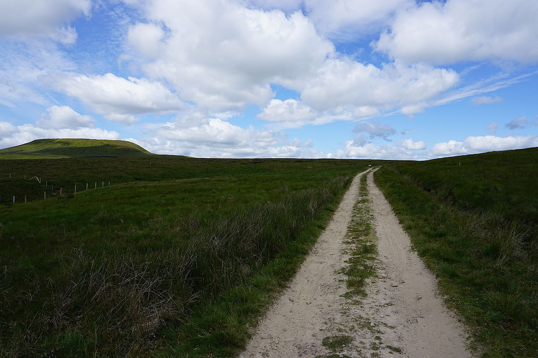
Little Whernside on the left as the track nears its summit
and as I reach the top, Harland Hill and Height of Hazely appear on the other side of Coverdale
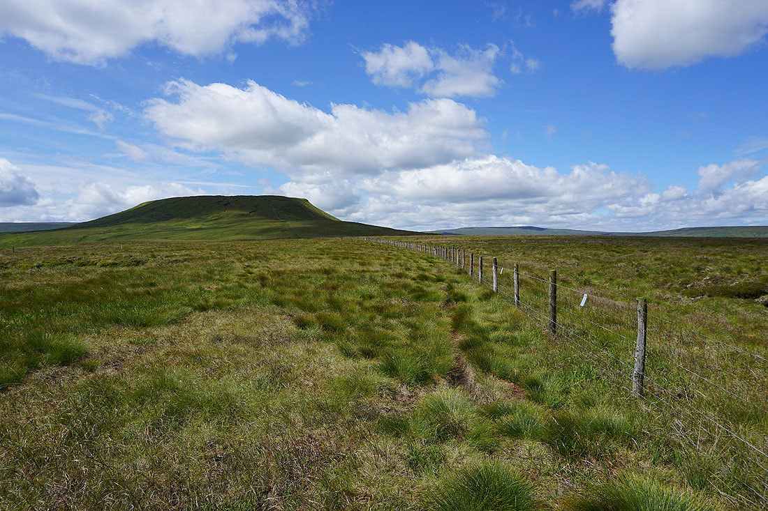
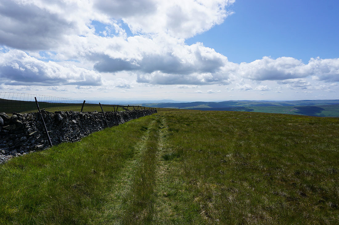
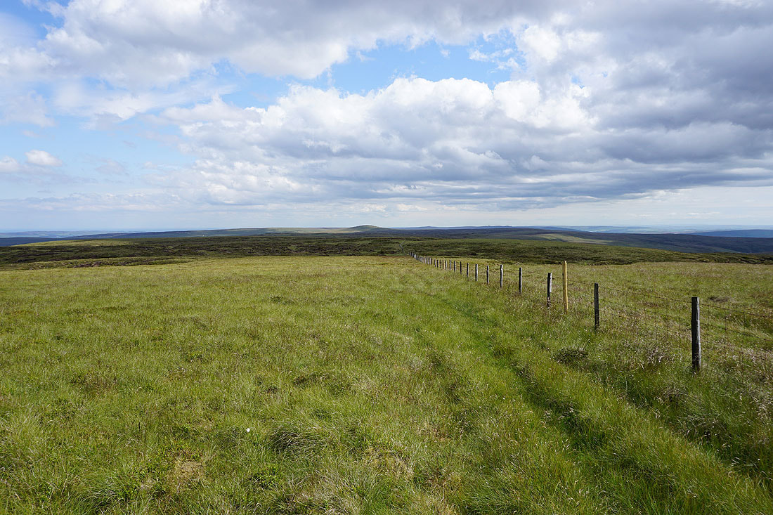
I leave the bridleway behind and follow the fence towards Little Whernside. Conditions underfoot certainly could be wetter than they are.
Looking back to Dead Man's Hill and Scar House Reservoir
There's a fantastic view of Coverdale from the northern edge of Little Whernside..
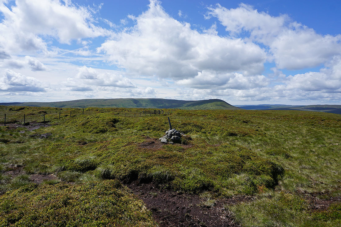
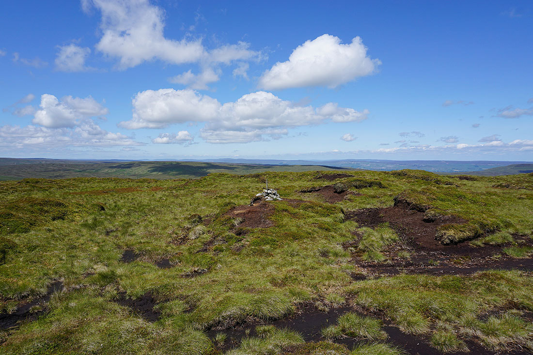
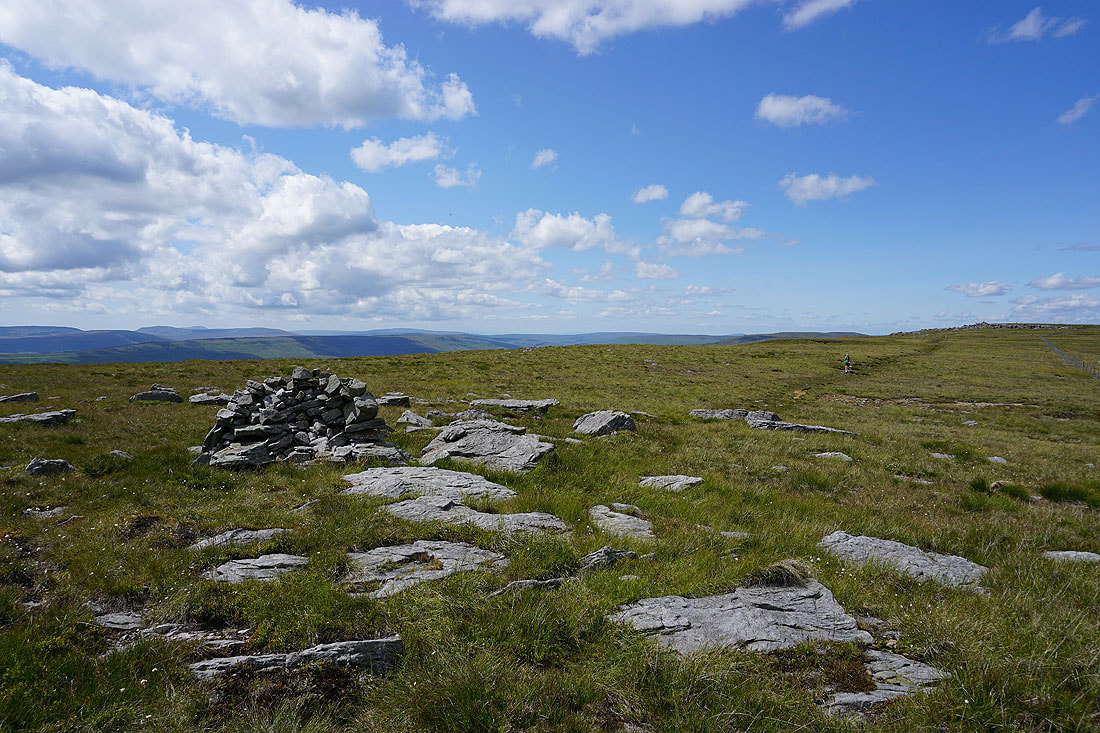
A modest cairn marks the top of a flat and peat hag covered summit of Little Whernside..
Wild Boar Fell, Great Shunner Fell and other fells around Wensleydale in the distance
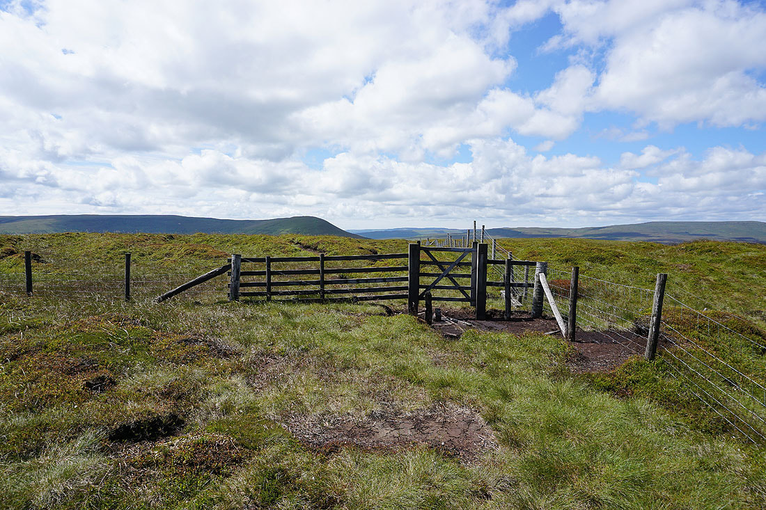
A gate lets me leave the western side of the summit on the southern side of the fence
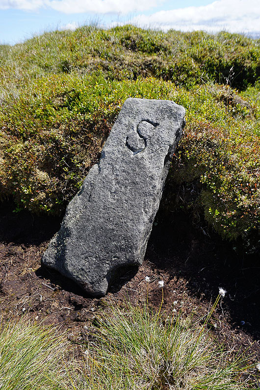
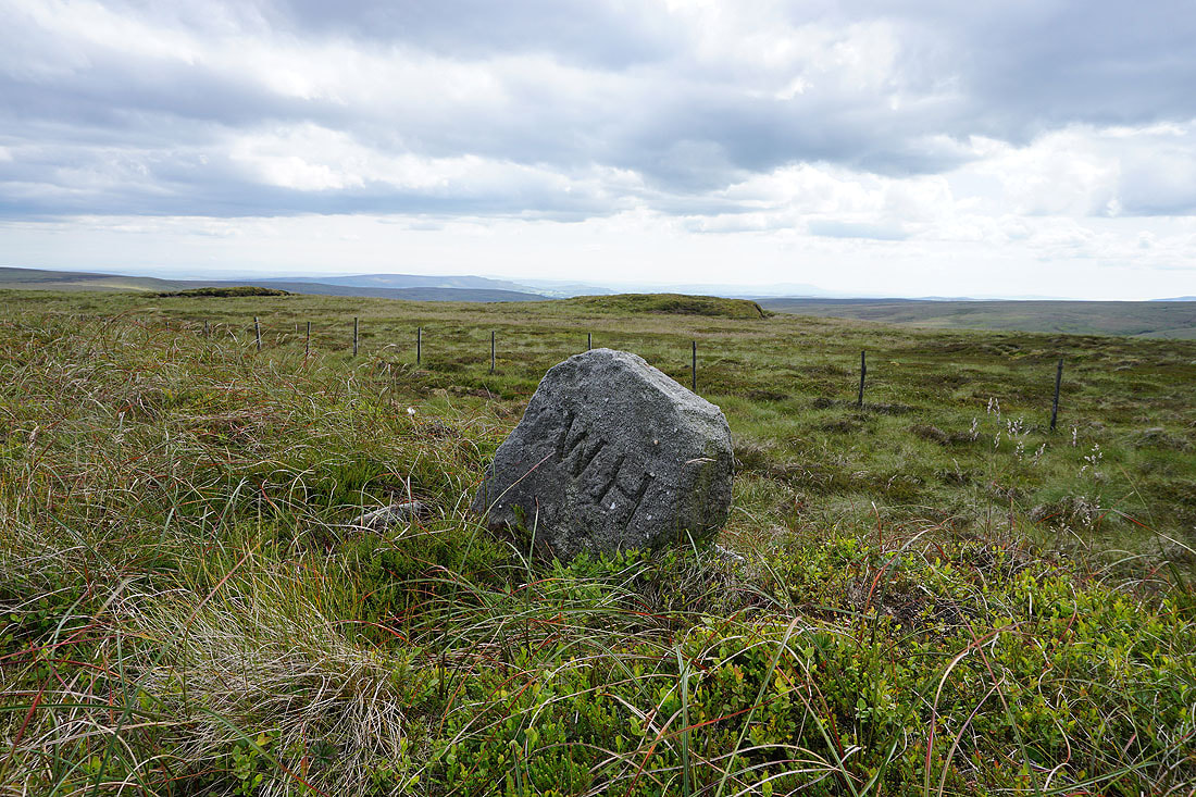
This boundary stone isn't on my map
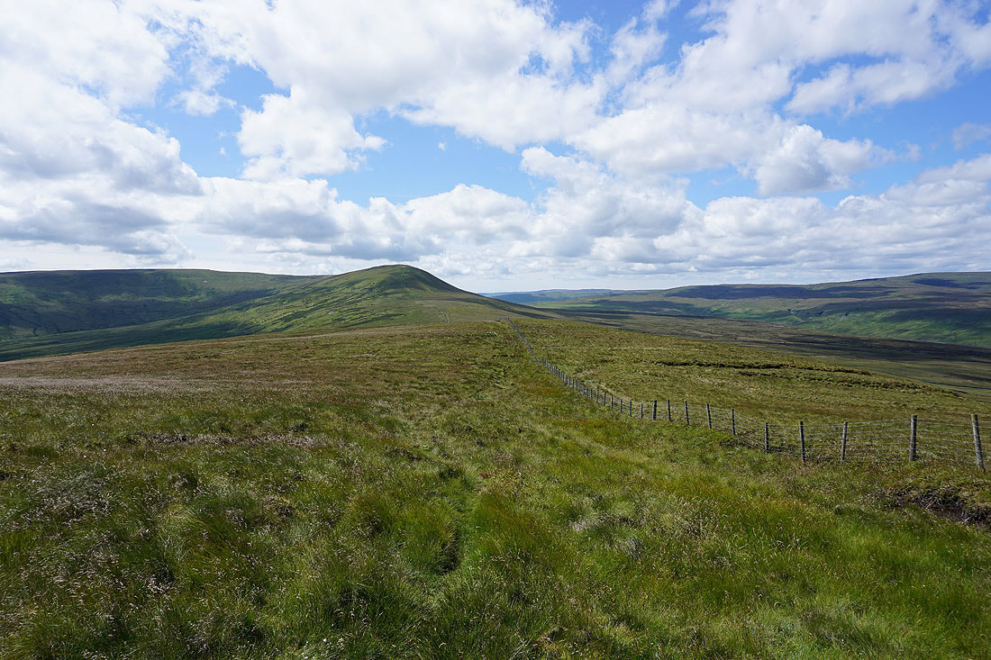
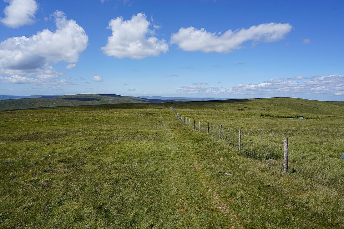
Heading for Great Whernside
Looking back to Little Whernside
Little Whernside, Angram Reservoir and Scar House Reservoir as I climb up onto Great Whernside
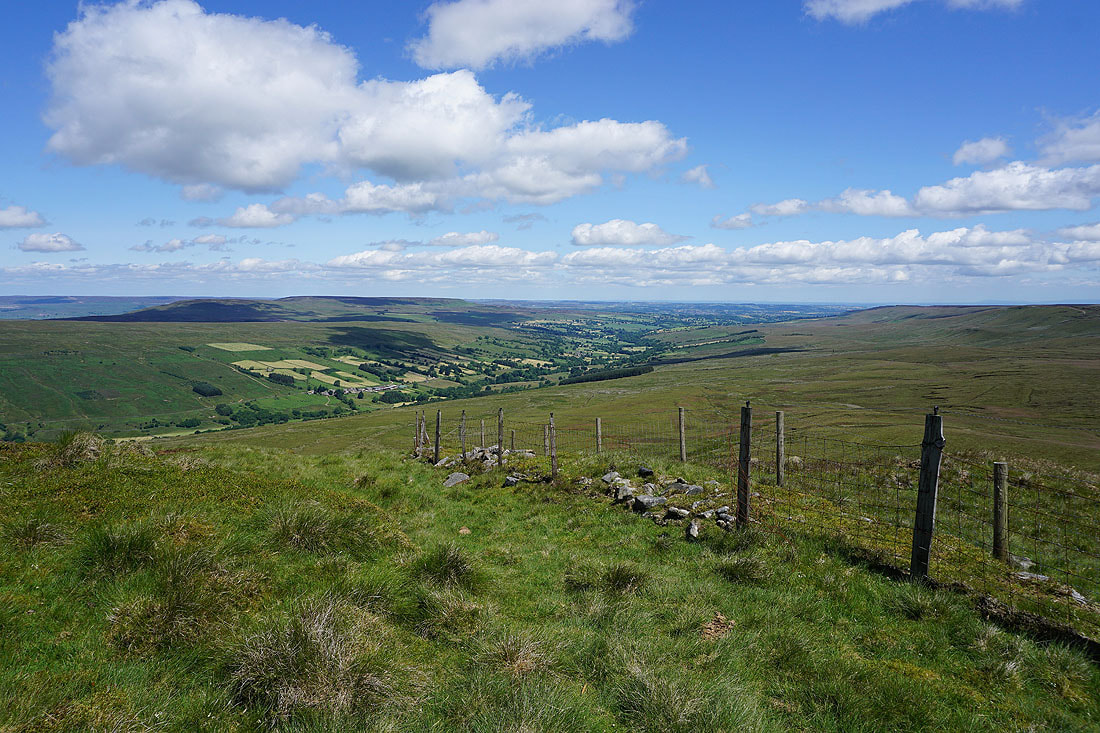
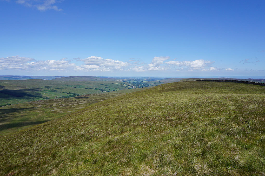
Looking down Coverdale
Pendle Hill in the distance as I reach the northern end of Great Whernside
Buckden Pike on the left, and I can make out Great Shunner Fell and Lovely Seat way in the distance to its right
Now that I've made it to Great Whernside I have an extensive view out to the west. Fountains Fell, Penyghent, Ingleborough, Plover Hill, Whernside and Buckden Pike from Blackfell Top.
A distant Pendle Hill
Upper Wharfedale and Buckden Pike
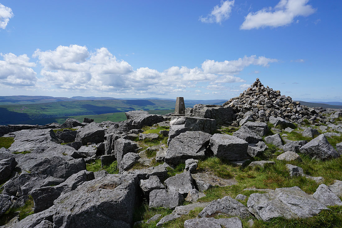
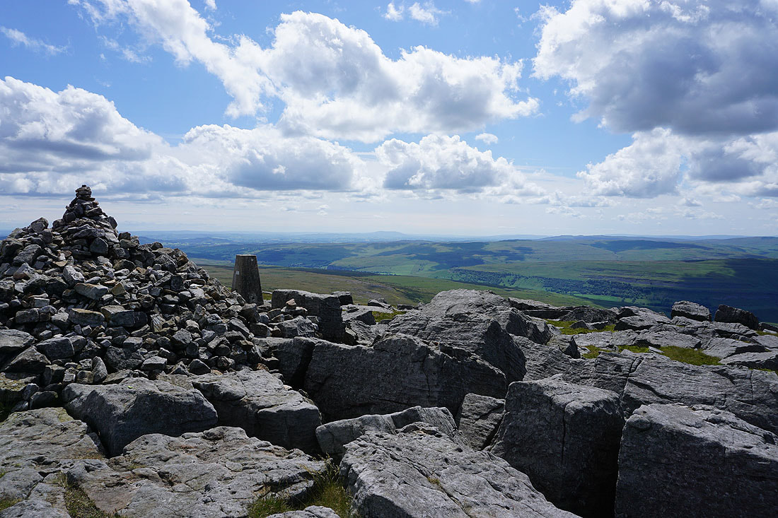
Five hours after setting off and I've made it to the summit of Great Whernside. It's the perfect summer's day for being up here.
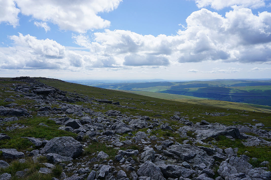
and with great visibility there's a fantastic all round view to take in. The South Pennines and Pendle Hill in the distance with the hills to the north of Malham on the right.
Looking north to Blackfell Top. Some of the many fell runners that are crossing the summit are in this shot, and the check station is just out of it to the right.
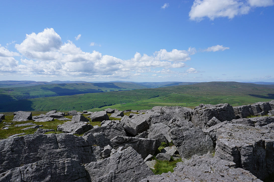
The view to the northwest includes Fountains Fell, Penyghent, Ingleborough, Plover Hill, Birks Fell, Whernside, Upper Wharfedale and Buckden Pike
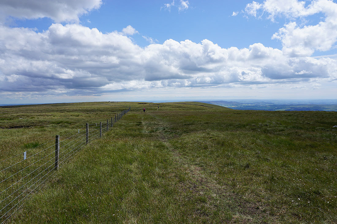
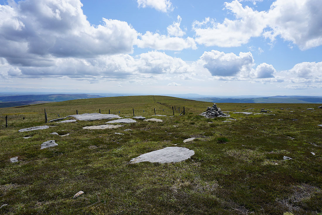
Following the fence and the fell runners south from the summit
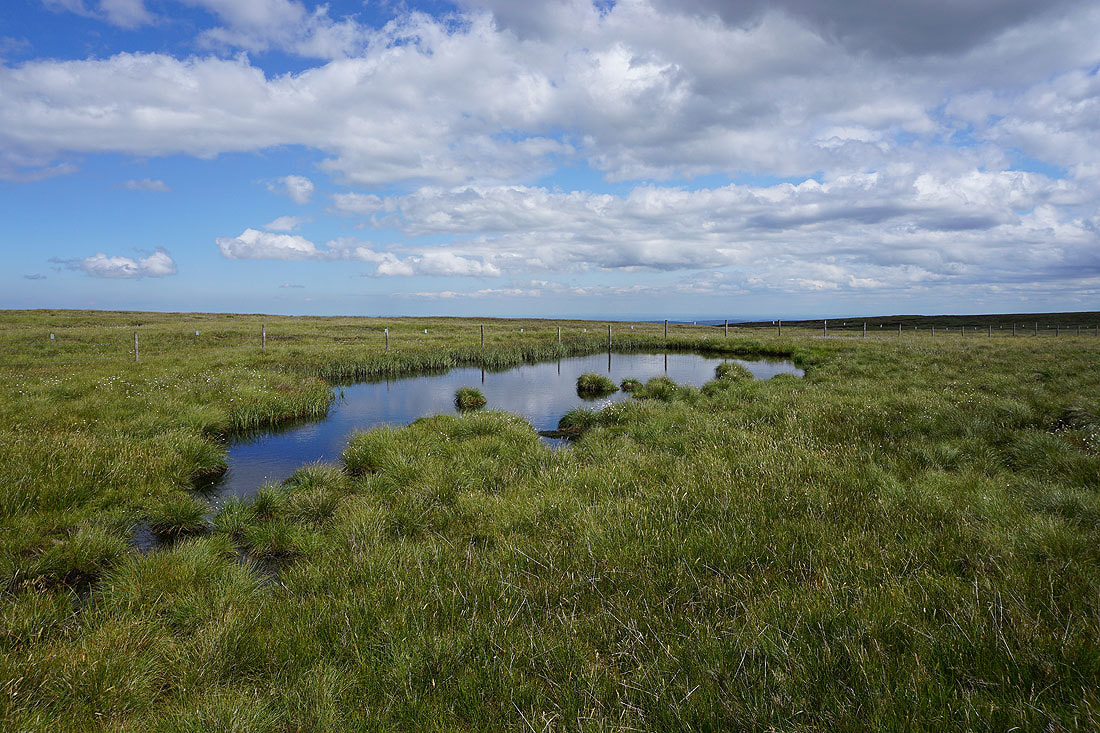
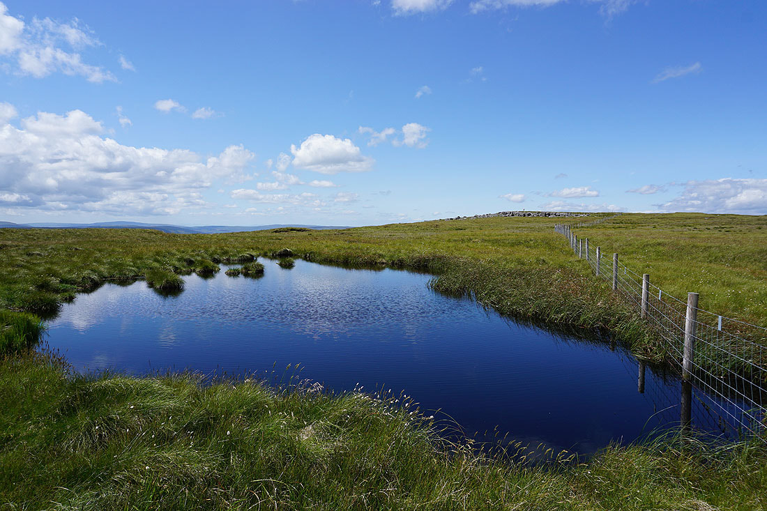
I can't resist the photo opportunity presented by a blue pool..
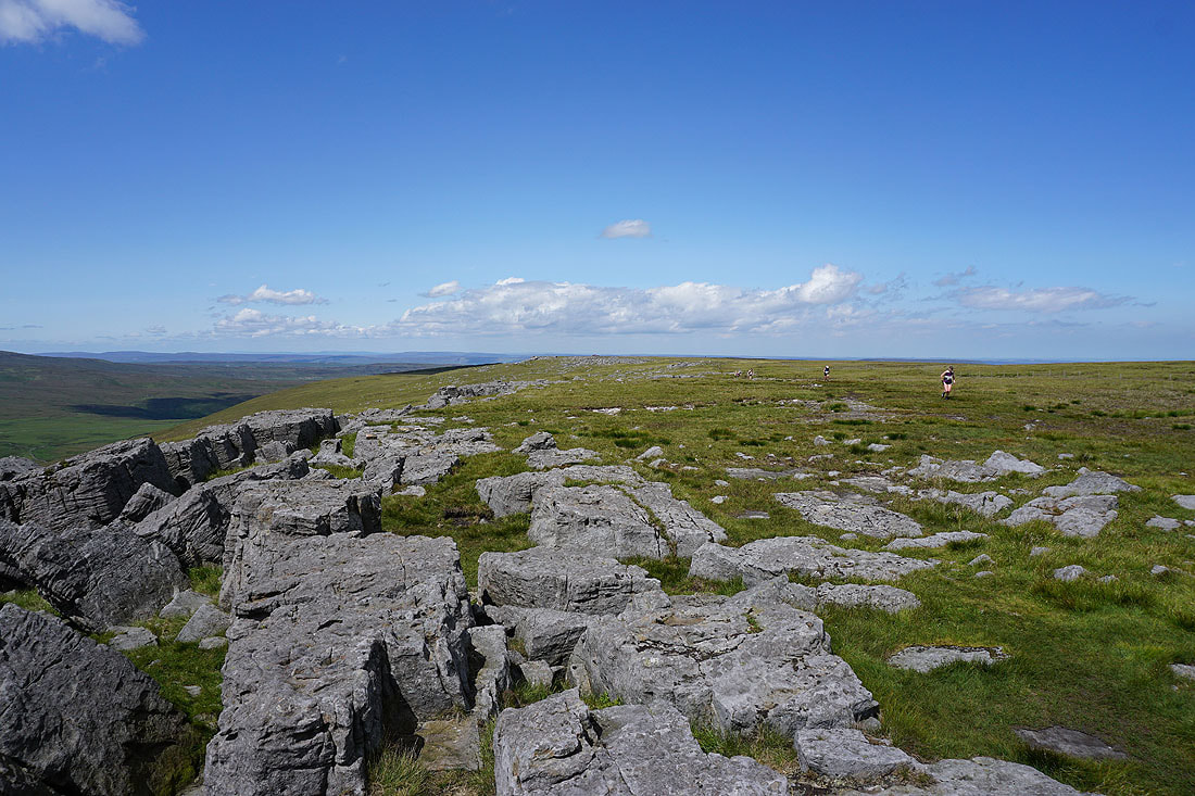
Barden Moor to Pendle Hill from the south top of Great Whernside
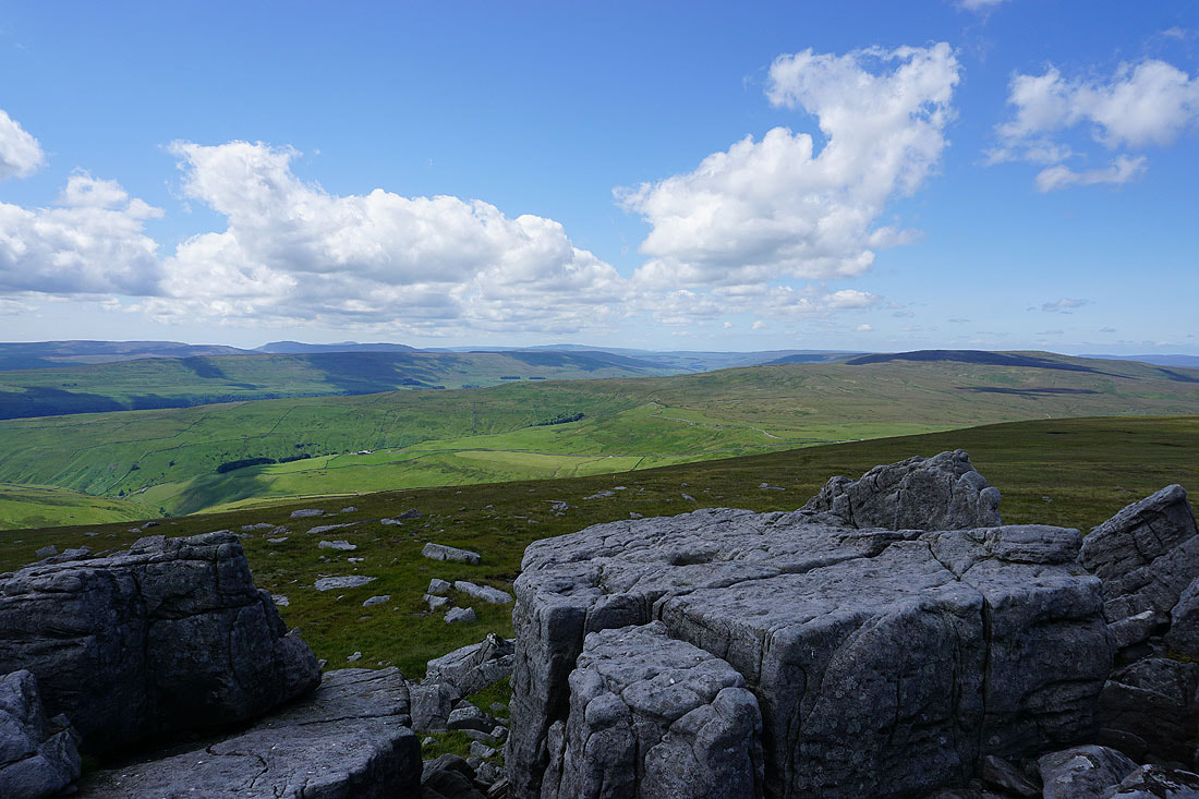
Penyghent, Ingleborough, Plover Hill, Birks Fell, Whernside and Dodd Fell Hill
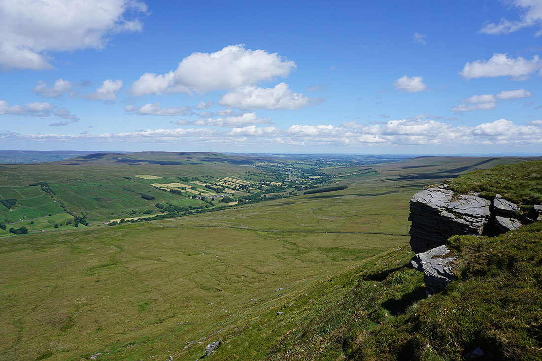
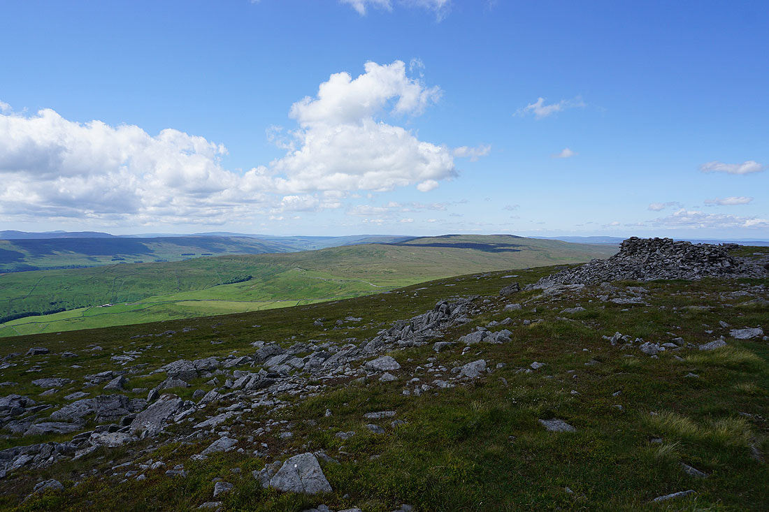
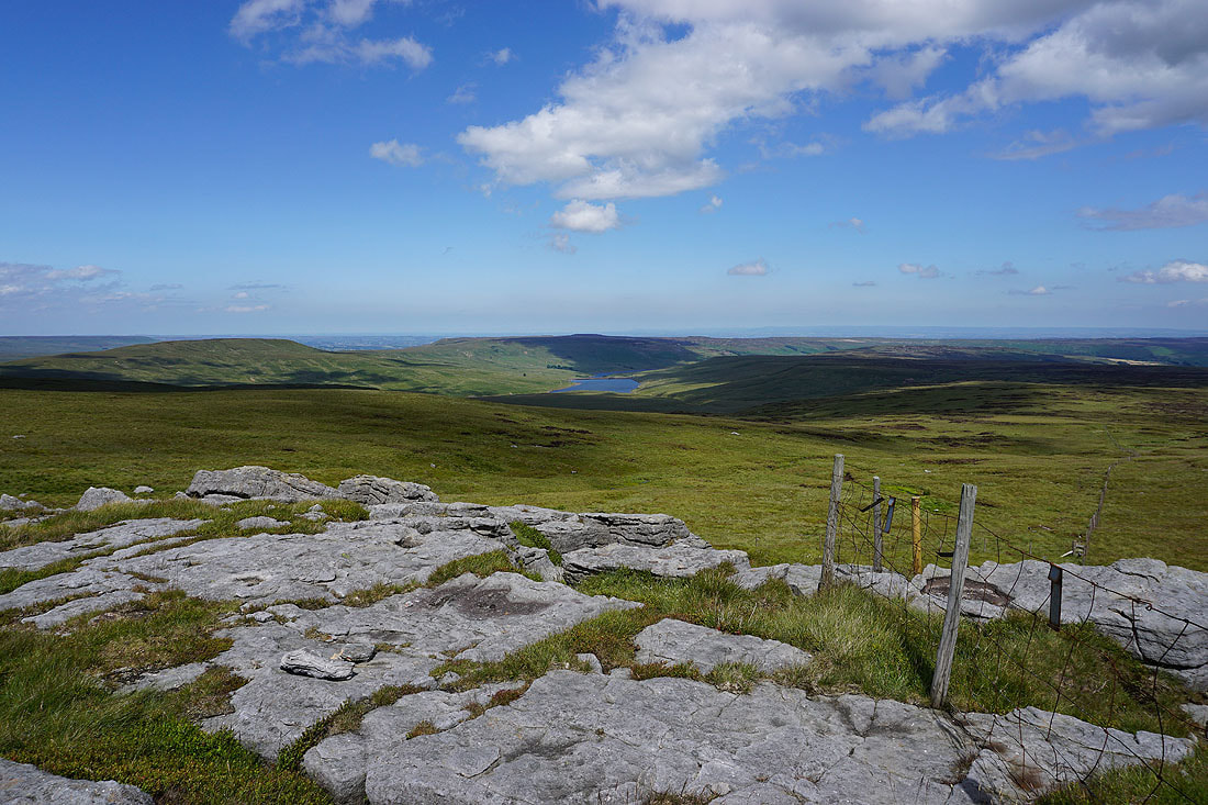
Little Whernside, Dead Man's Hill, Great Haw, Angram Reservoir and the top of Nidderdale from Stone Head Crag
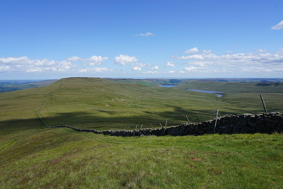
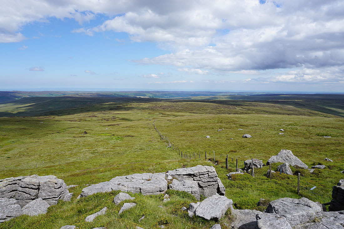
The expanse of Riggs Moor below. The fence will be my guide.
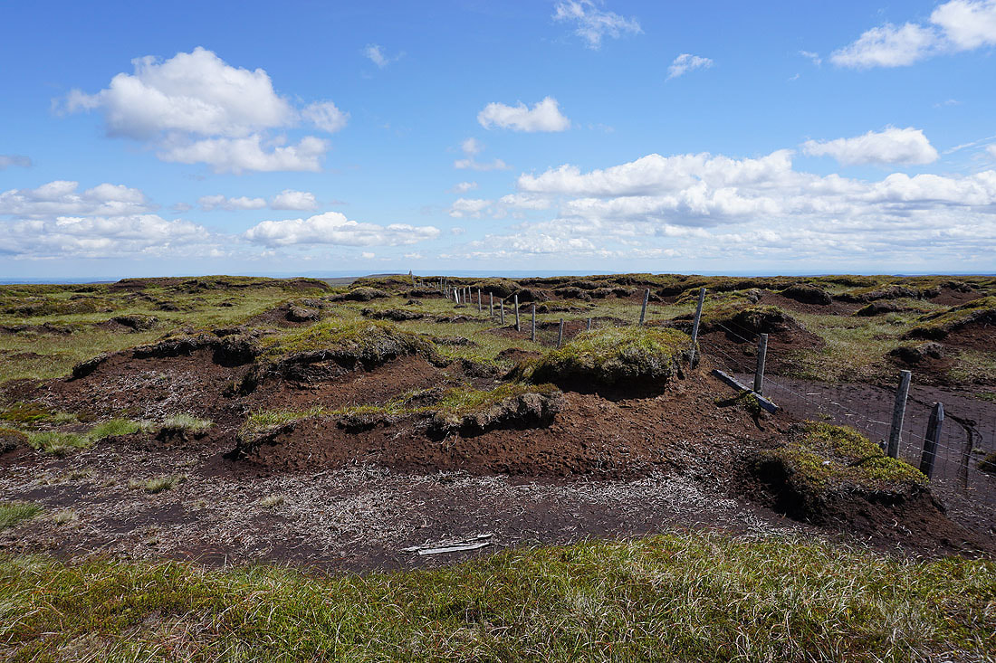
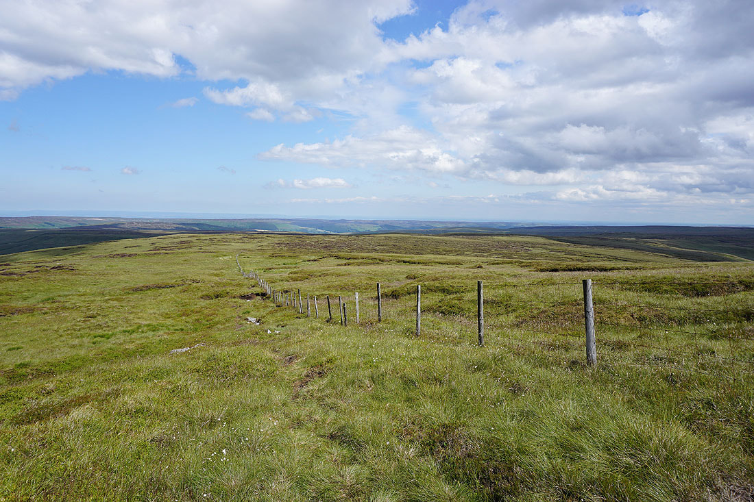
Crossing Riggs Moor
Looking back to the southern end of Great Whernside
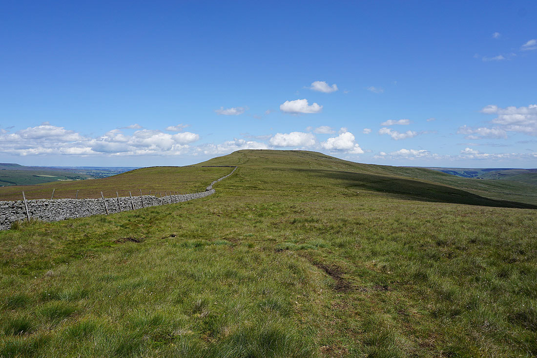
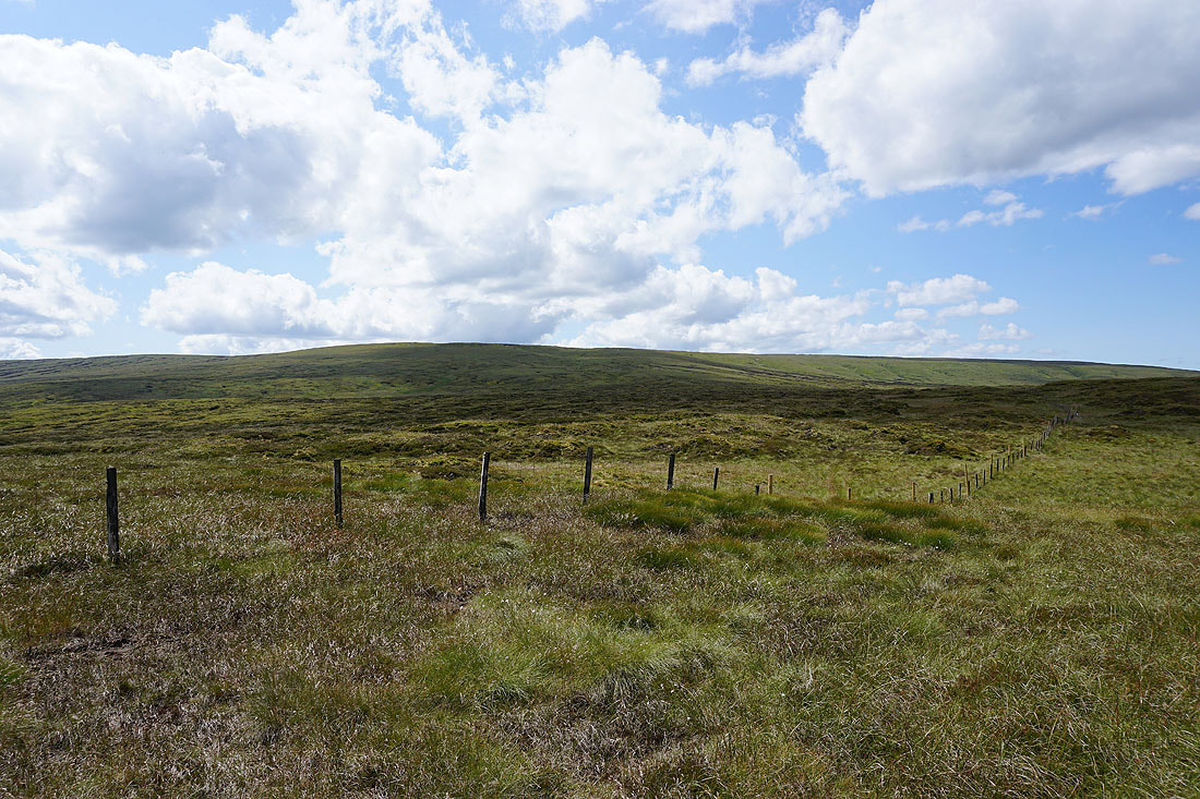
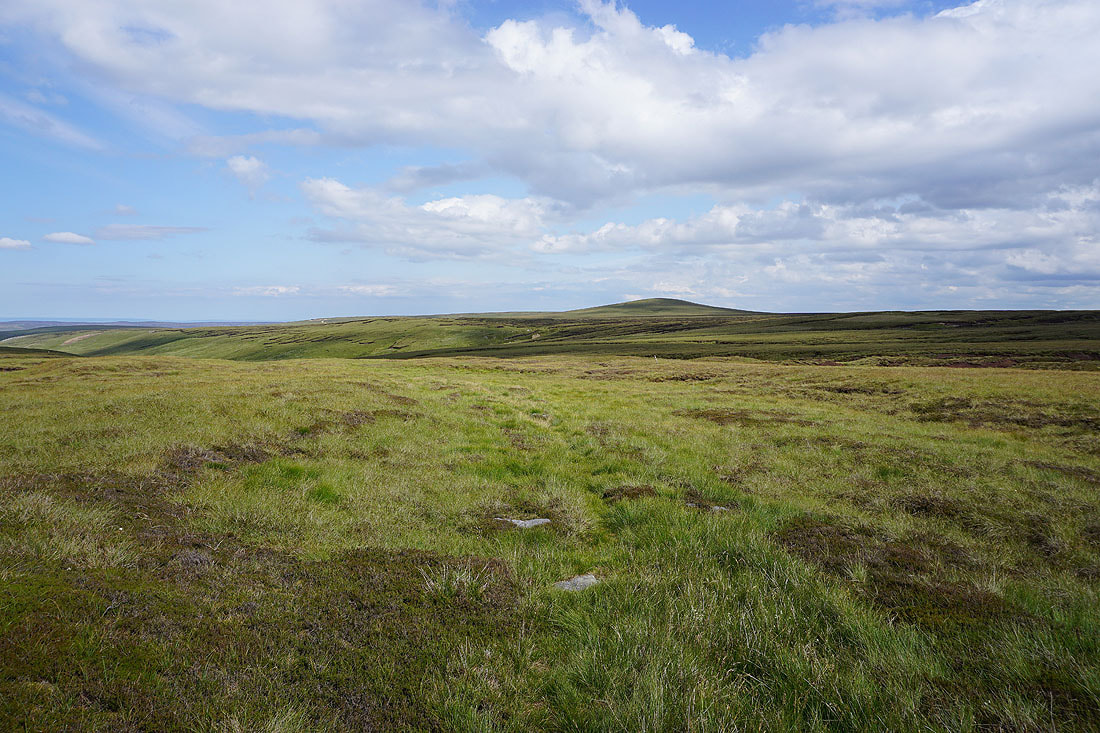
The moorland bump of Meugher in front of me as I head south across Riggs Moor
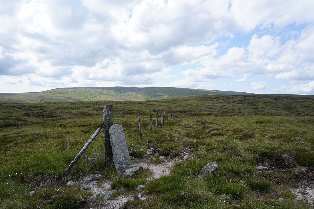
There are several boundary stones along the line of this fence, which also happens to be the boundary between the Yorkshire Dales National Park and the Nidderdale AONB..
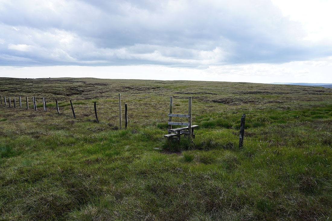
This stile is at Sandy Gate and marks the crossing point of the bridleway/footpath between Wharfedale and Nidderdale
The hill of Meugher from Sandy Gate
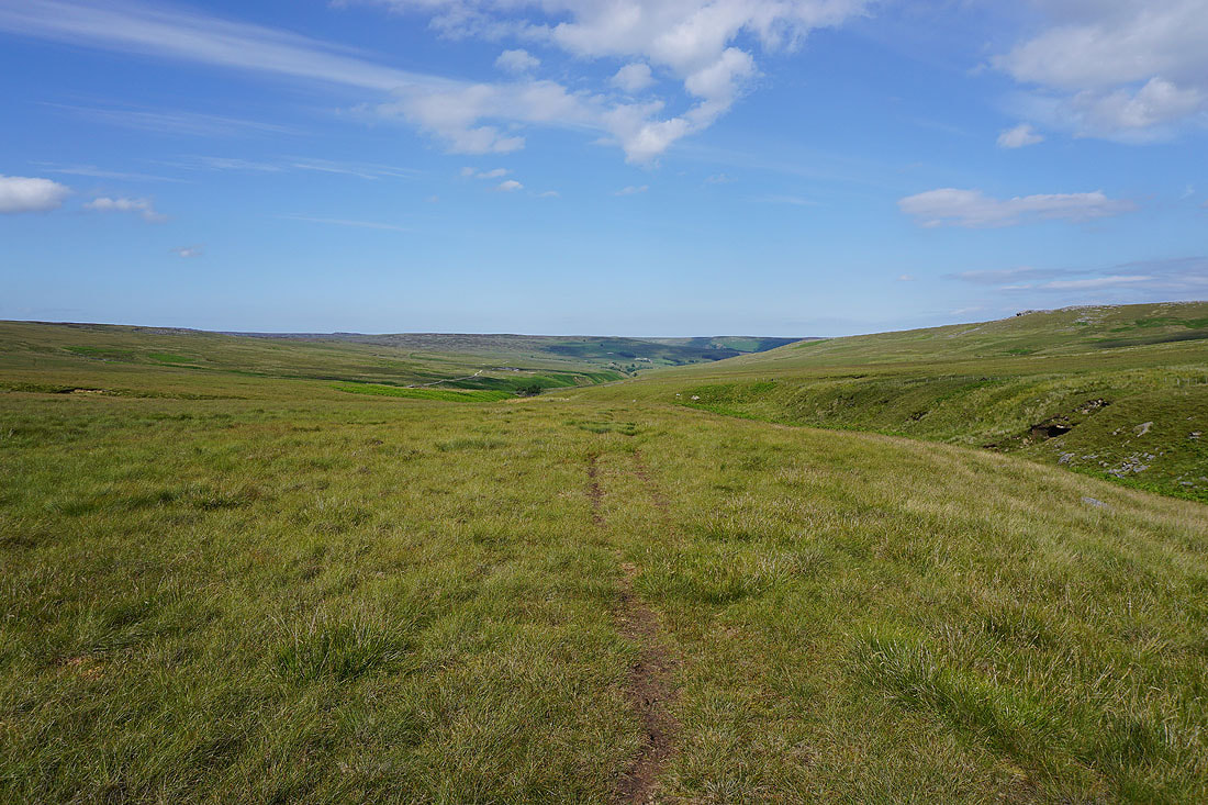
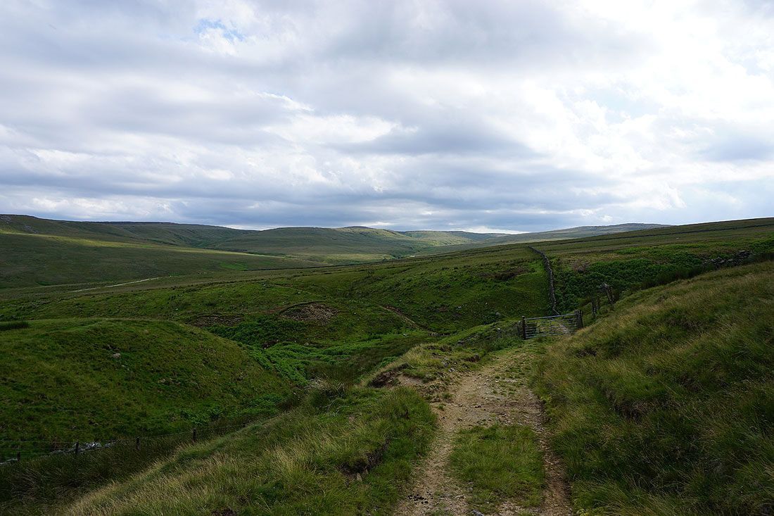
Following the footpath above Straight Stean Beck. It's pretty sketchy in places but I'm aiming for the tracks that I can see that are part of the waterworks in this valley.
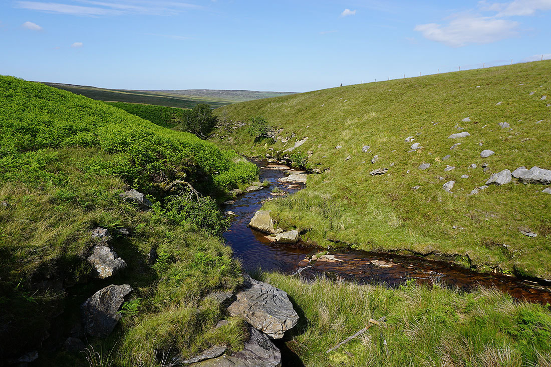
Straight Stean Beck
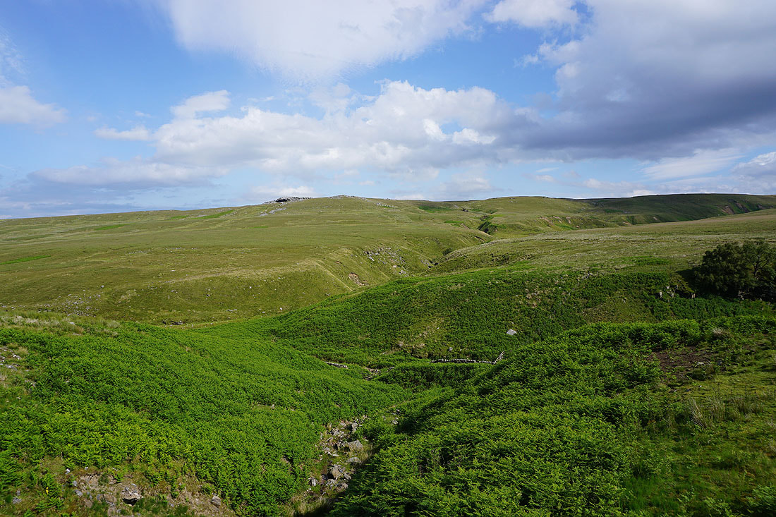
The gritstone outcrop of Sandstones above Backstean Gill
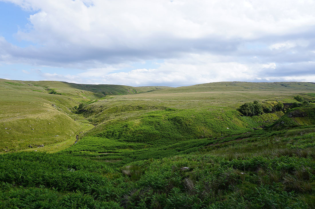
Stean Moor above Backstean Gill and Straight Stean Beck
Looking back to Stean Moor and Meugher from the water company track above How Stean Beck
and again from the track above Aygill Beck
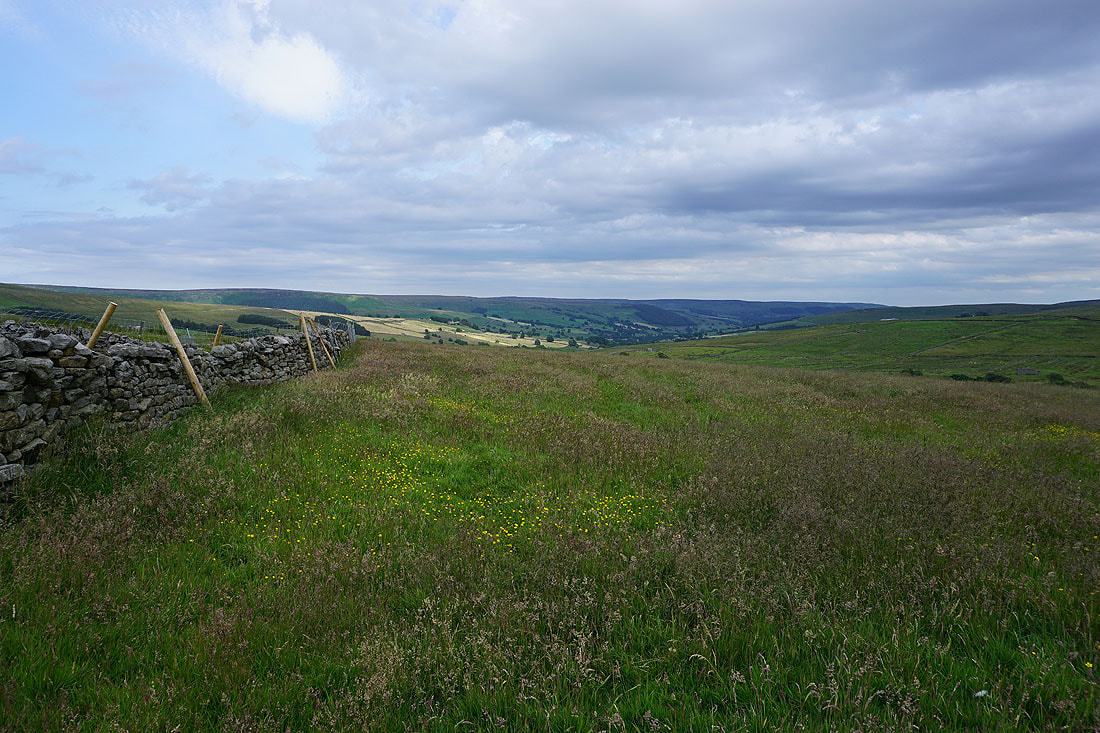
Looking down Nidderdale from the footpath across High Pasture
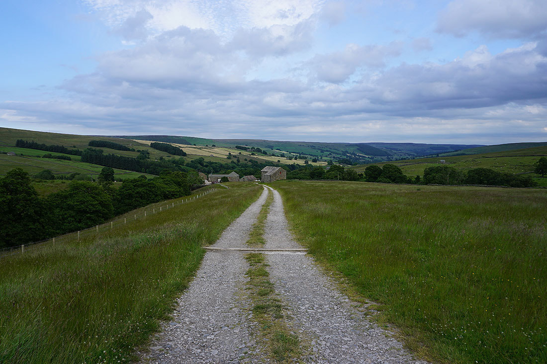
Approaching Low Riggs
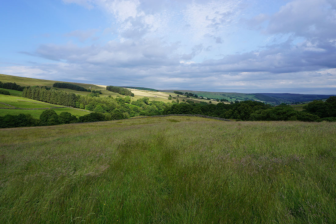
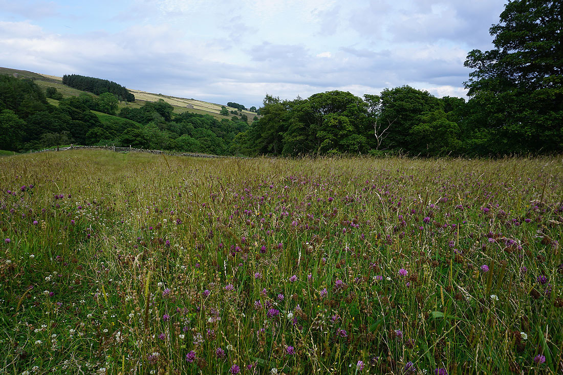
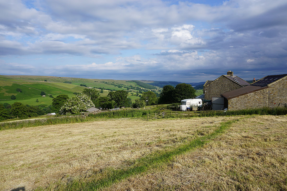
Following the footpath down through the hay meadow below Low Riggs..
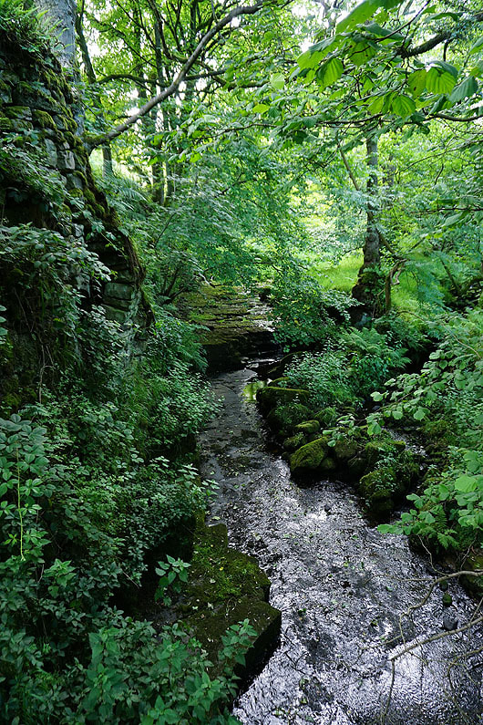
Armathwaite Gill
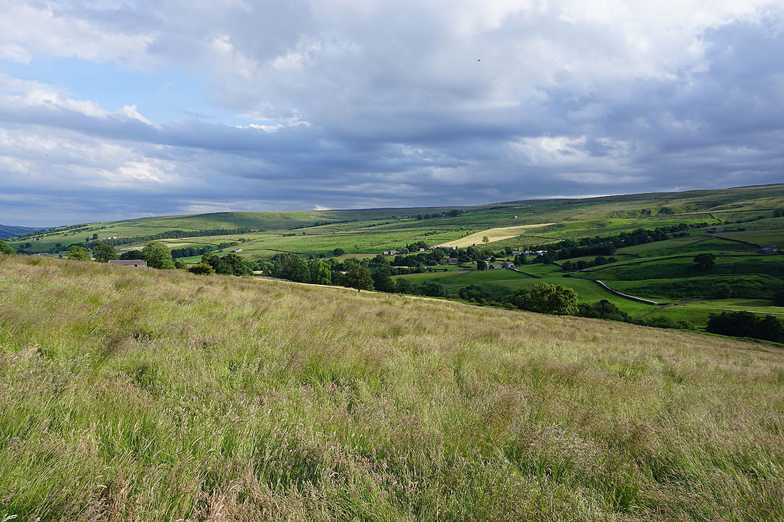
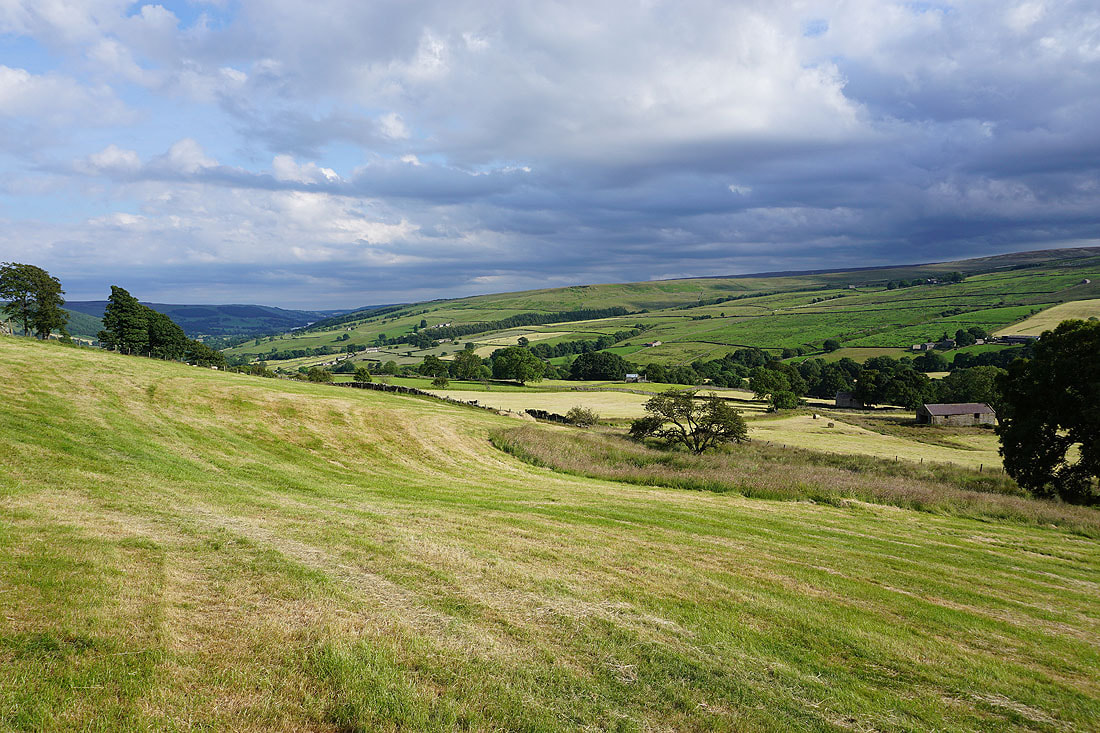
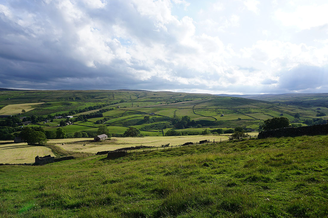
Great views across Nidderdale lit by the early evening sun from the footpath back to Middlesmoor....
Nidderdale from the car park is my last shot
