6th June 2016 - Beinn na Caillich & Beinn Dearg Mhor
Walk Details
Distance walked: 8.9 miles
Total ascent: 3284 ft
OS map used: 412 - Skye, Sleat
Time taken: 7.5 hrs
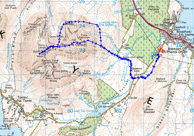
Route description: B8083-Strath Suardal-Coire chat achan-Beinn na Caillich-Beinn Dearg Mhor-Coire Reidh-Coire Seamraig-Coire Fearchair-Coire chat achan-Strath Suardal-B8083
After thinking about going to the Isle of Skye for several years I finally made the arrangements back in February for five days on the island in the first week of June. As the time got nearer I had my fingers crossed for good weather, especially during May when there was fabulous weather in this part of the country. It was with some relief that I set off from home yesterday morning on the long drive north with a forecast of a mostly fine week. I'd purchased a guide book, "Walking The Isle of Skye" by Terry Marsh, and I'd marked off several walks with plenty of variety that I could do depending on how I felt that day and what the weather was doing. I also had the relevant OS maps with me so that combining them with the guide book I could make up my own route. The plan today for my first walk on the Isle of Skye was to tackle the mountains of Beinn na Caillich, Beinn Dearg Mhor and Beinn Dearg Bheag that rise to the west of Broadford and make up the Coire Gorm Horseshoe. The forecast was for a warm humid day with sunny spells, a small chance of a shower and light winds even on the summits. It made for hard work and the lack of wind certainly encouraged the flies and midges to gather. In the end I didn't do the route that I'd planned. I found the scree slope that I had to descend from Beinn Dearg Mhor to Bealach Coire Sgreamhach was just too unstable. Not wanting my first walk here to be my last I found another way down.
After parking in a layby on the B8083 Elgol road just south of Broadford I took the track opposite that follows the road south along the moor and then when I met the road again I crossed it and followed the track across the Broadford River to Coire-chat-achan and the road end from Old Corry. A path starts here and heads for the slopes of Beinn na Caillich. It wasn't long however before it disappeared and I was using sheep trods. I aimed for the southern edge of Coire Fearchair and by the time I reached it I was boulder hopping to make my ascent. Unfortunately this is one of those hills with a convex slope, so you don't see the summit until you're on top of it. When grass predominated over rock I knew I was nearly there. The view was certainly worth the effort. After taking a well earned break I left Beinn na Caillich for what was a simple ridge walk to Beinn Dearg Mhor and an even better view of Blabheinn and the Black Cuillin. It was now however that my route changed from what I'd planned. After trying but not succeeding to descend the scree slope I made my way back to the bealach between Beinn Dearg Mhor and Beinn na Caillich. Descending into Coire Gorm was out of the question but I could make my way down into Coire Reidh and I could also see a faint line through the grass and heather on the eastern side of the coire (maybe someone had been this way before me). Once down I made my way round the northern end of Beinn na Caillich keeping below the boulder slope. It's rough moorland and if it hadn't been so dry during the past few weeks the going would have been much more difficult. When I reached Lochain Beinn na Caillich I could see the road end from Old Corry that I should be aiming for. Having made it back to that I retraced my outbound route to where I was parked.
Route map
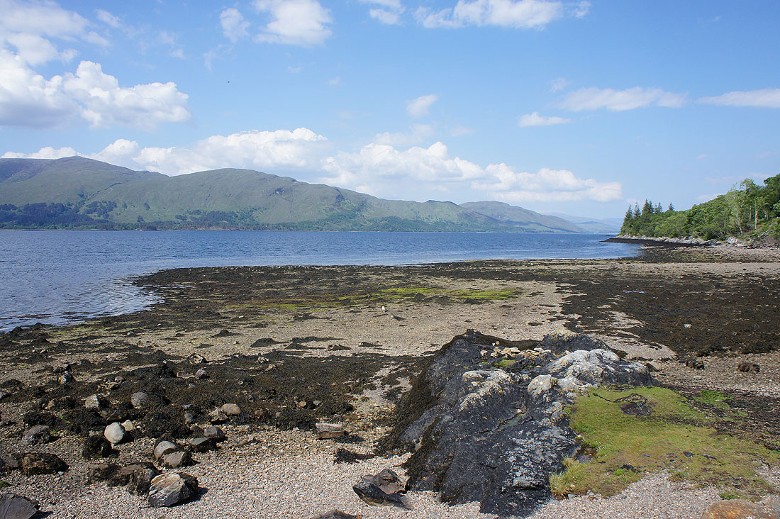
A few photos taken on Sunday 5th June. I stopped a few times on the drive north, to take a break and stretch my legs and then as I got closer to Skye, to take in the great views there were. At a picnic site by the A82 just south of Fort William looking north up Loch Linnhe.
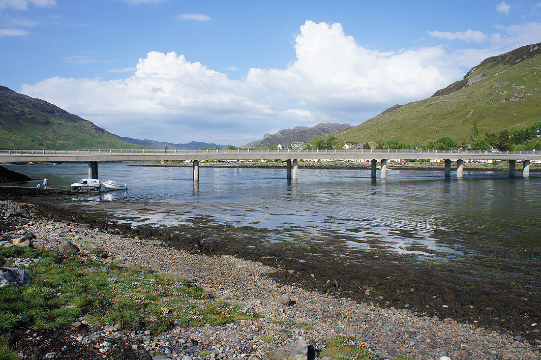
Not far from Kyle of Lochalsh now, at Ardelve Point. The bridge carrying the A87 across where Long Long enters Loch Duich.
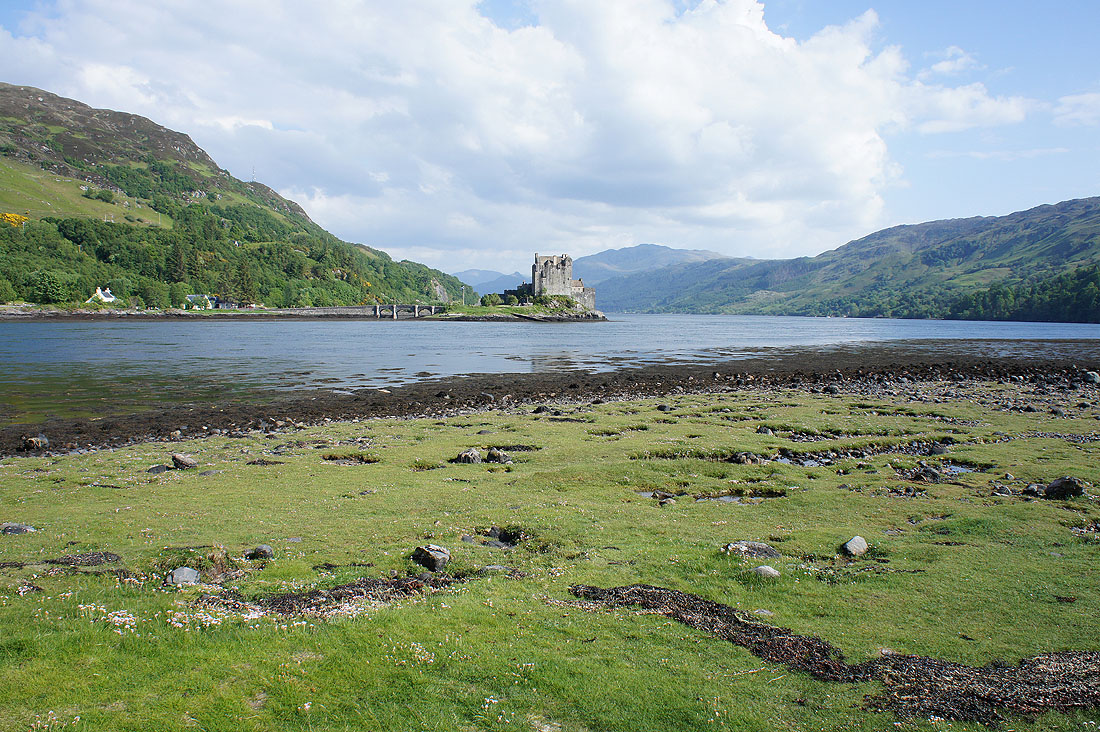
Eilean Donan Castle by the shores of Loch Duich
Looking west along Loch Alsh and I can now make out the mountains on Skye
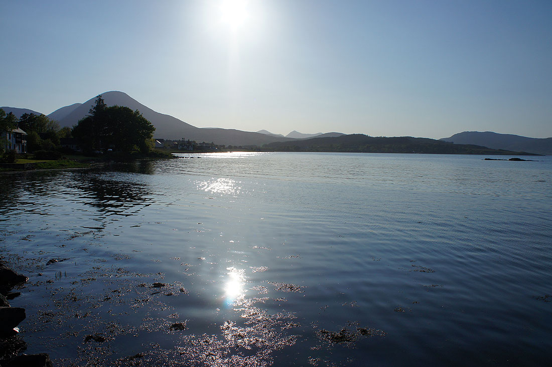
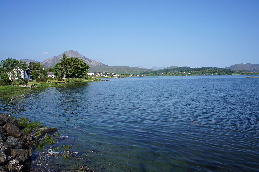
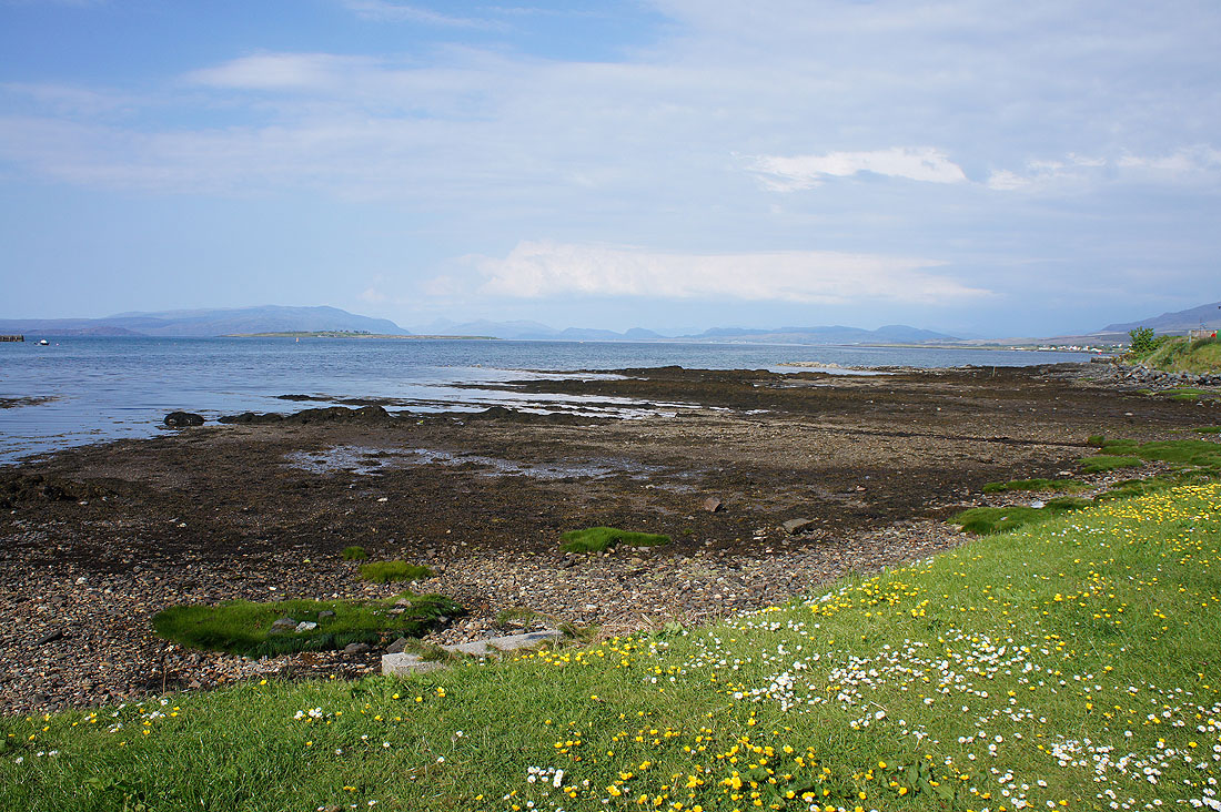
I've arrived at my B & B in Harrapool near Broadford and had my tea so I pop across the road to take in the view across Broadford Bay. That hill on the left is Beinn na Caillich which I plan on climbing tomorrow.
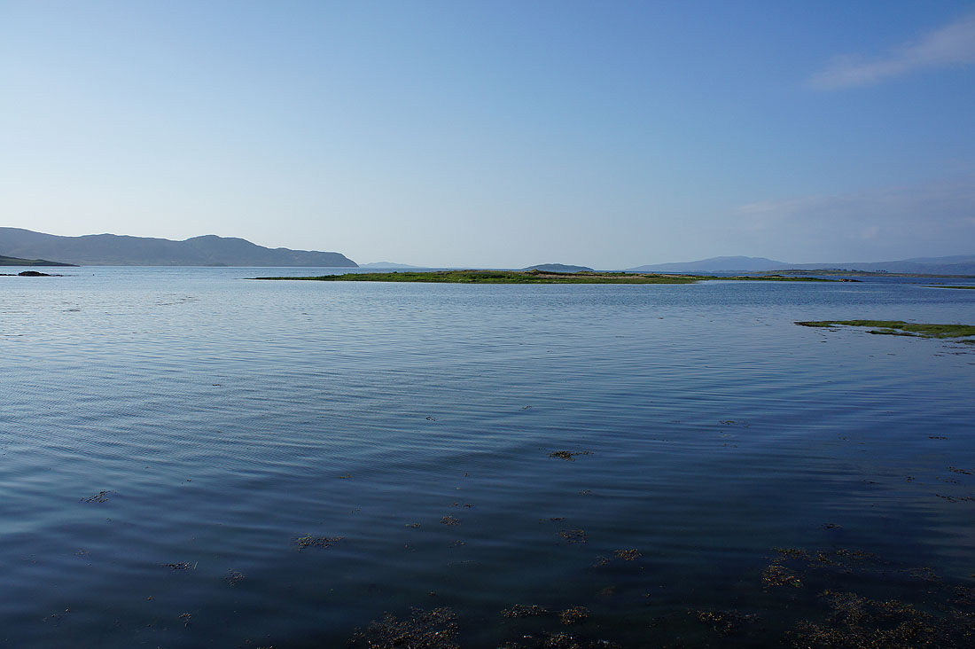
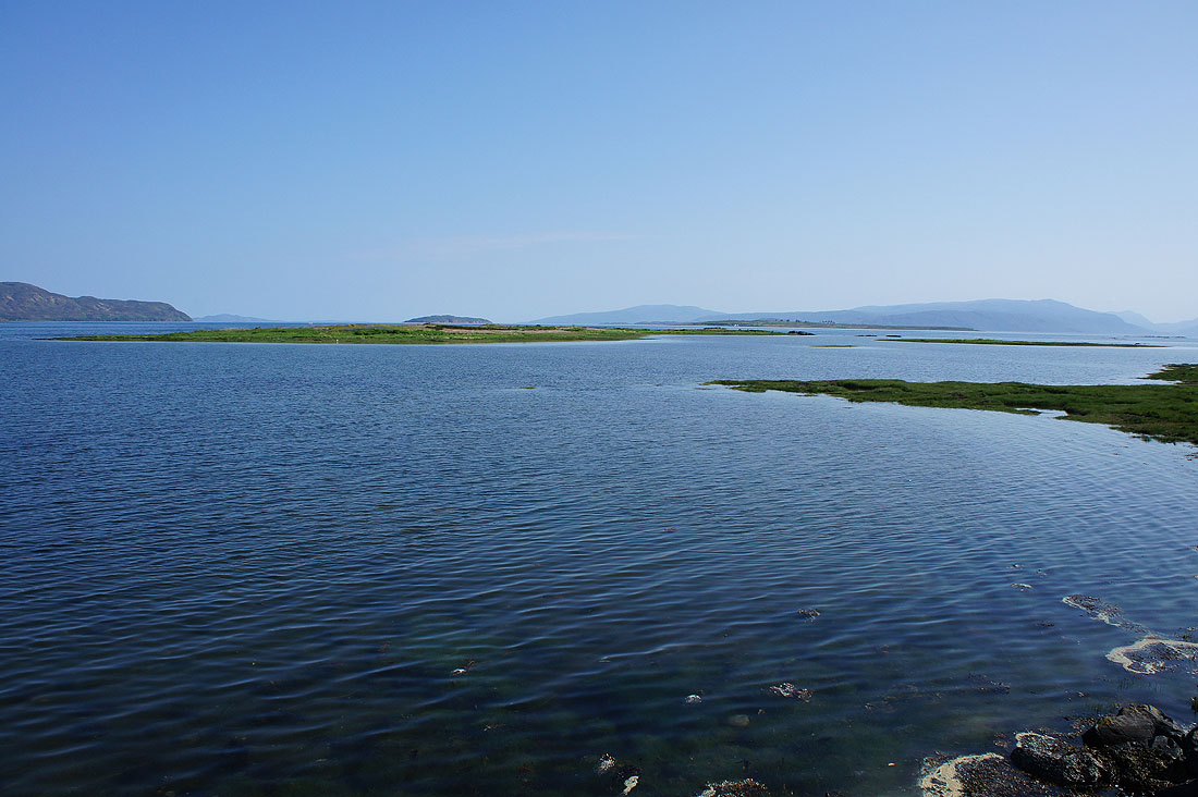
Broadford Bay and out to the islands in Inner Sound
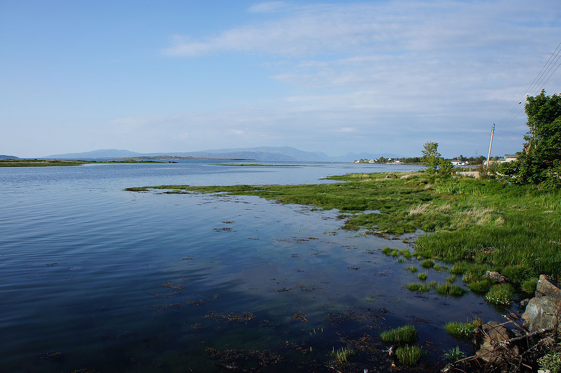
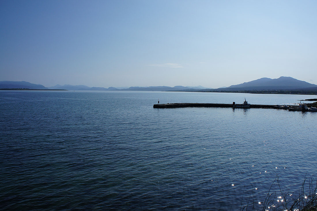
and across to the mainland
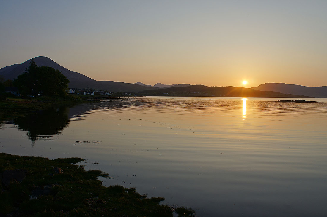
A couple of hours later and there was a beautiful sunset
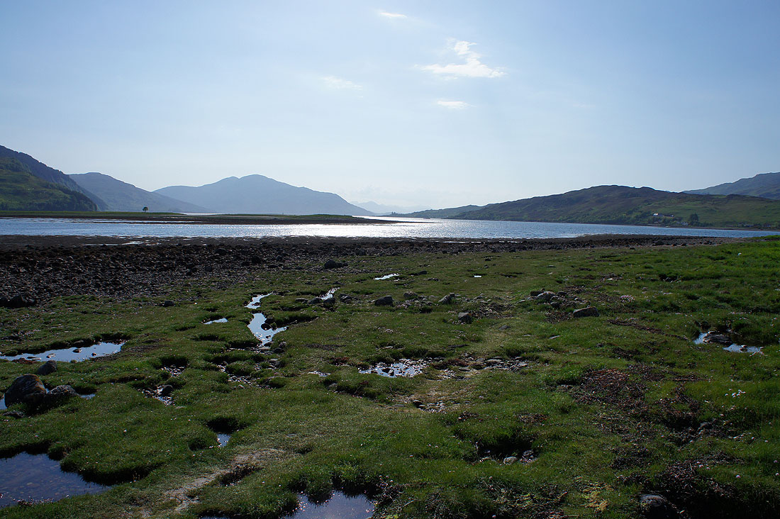
Monday morning and the tide has gone out and come back in overnight. A warm, humid day is forecast with light winds, though there is a small chance of a shower. Taking in the view across Broadford Bay before I set off..
and the view from the car park of the supermarket in Broadford
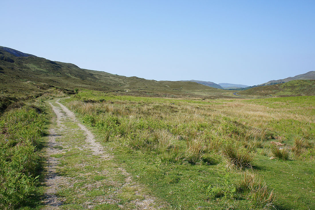
Having parked in a layby on the B8083 just south of Broadford I take a track opposite that follows the road south
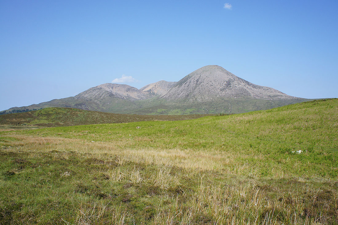
The hills that make up the Coire Gorm horseshoe. Beinn Dearg Bheag on the left, Beinn Dearg Mhor at the back and Beinn na Caillich on the right. My route will take me round the horseshoe in an anticlockwise direction. That's the plan.
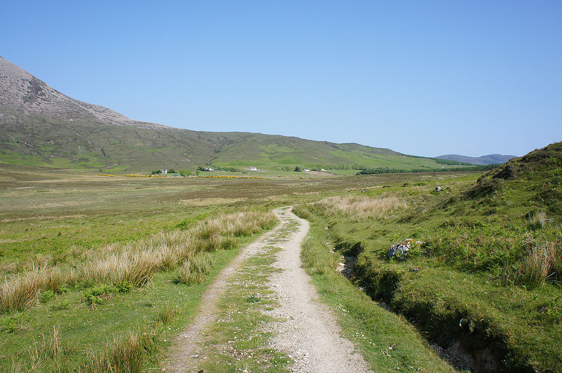
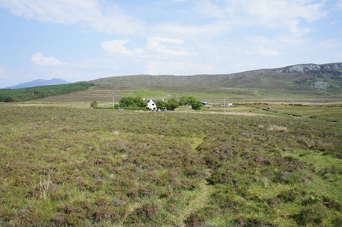
The track brought me back to the B8083, which I crossed and now I'm on another one to Coire-chat-achan
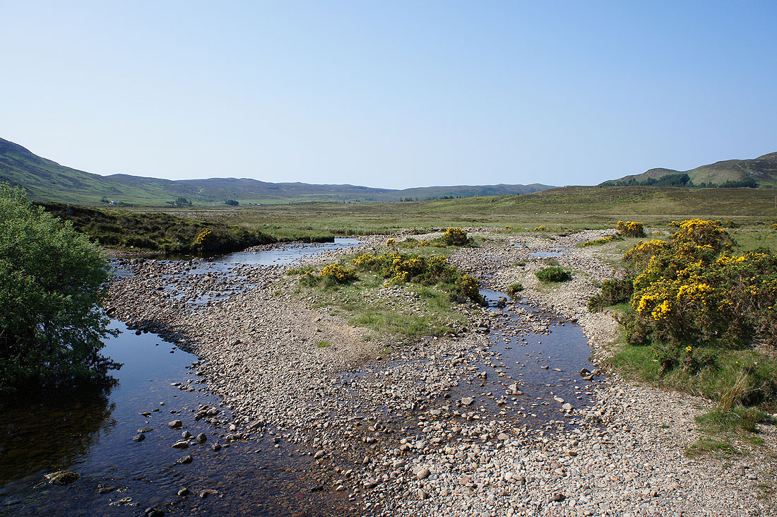
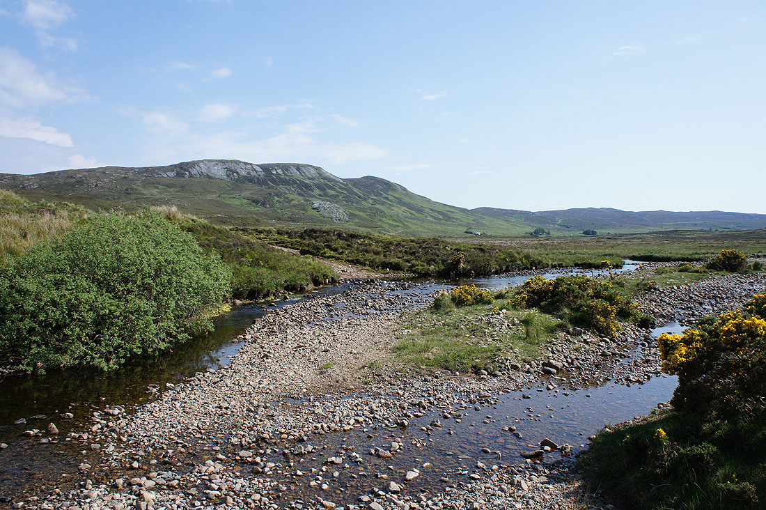
Across the Broadford River
As I climb Beinn na Caillich's steep slopes the view opens out across Broadford Bay..
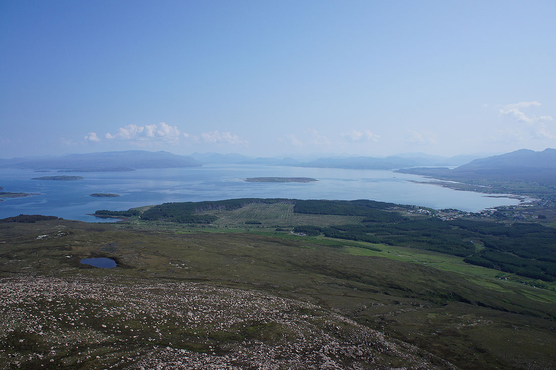
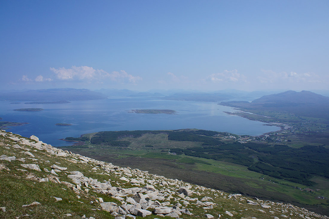
..then across Inner Sound. That island in the middle is Pabay.
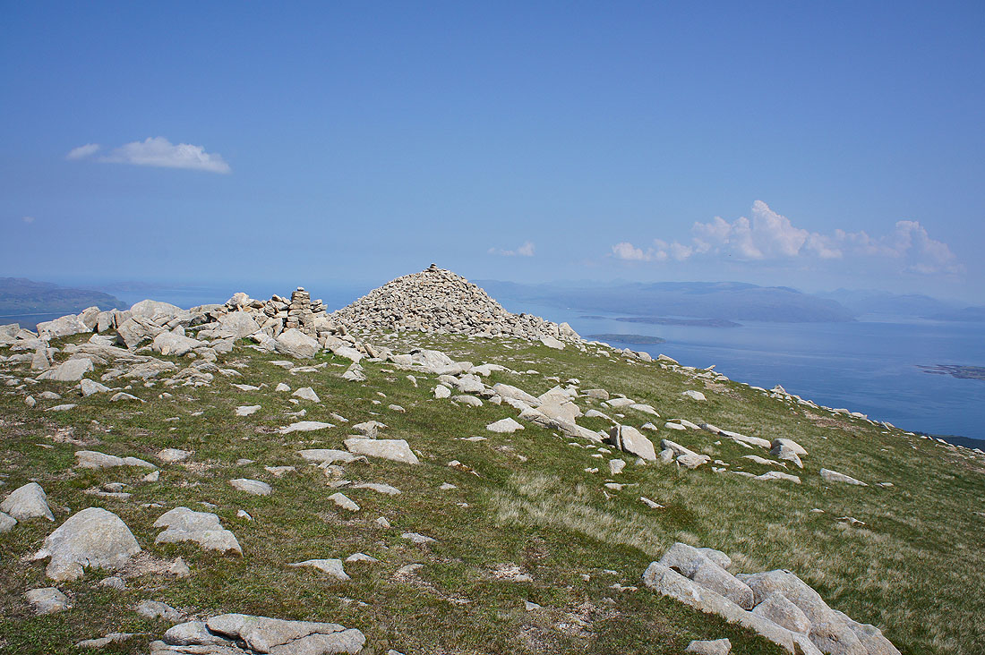
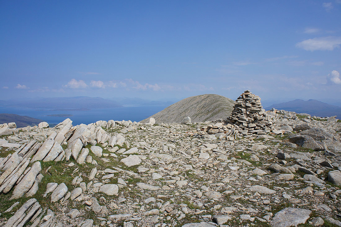
Finally made it to the summit with its trig point and huge cairn. It was warm work with the sun on my back and no wind to speak of. There's hardly a breath of wind up here either.
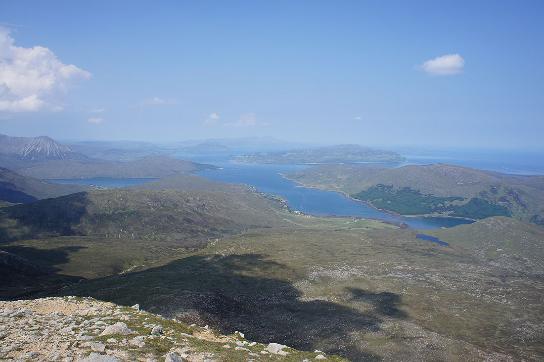
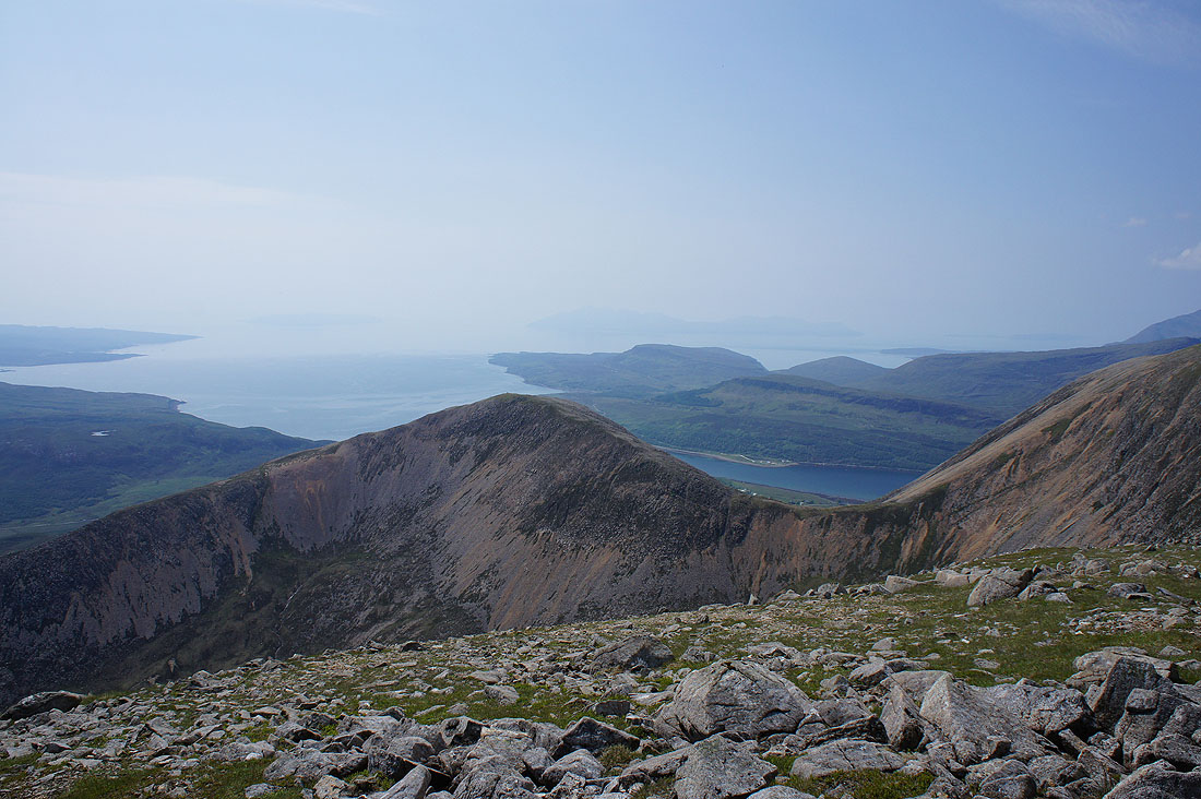
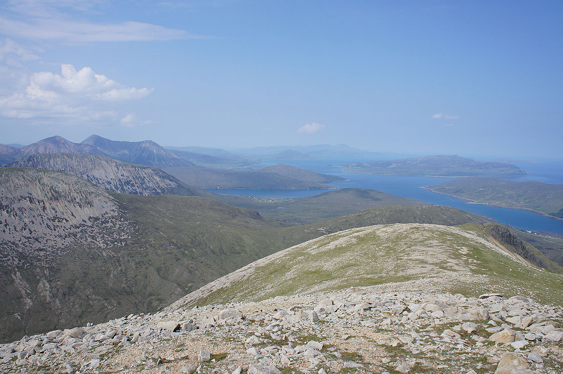
All that effort was certainly worth it for the view. To the northwest, the Trotternish peninsula in the distance, Loch Ainort and Loch na Cairidh with the islands of Raasay and Scalpay on the right.
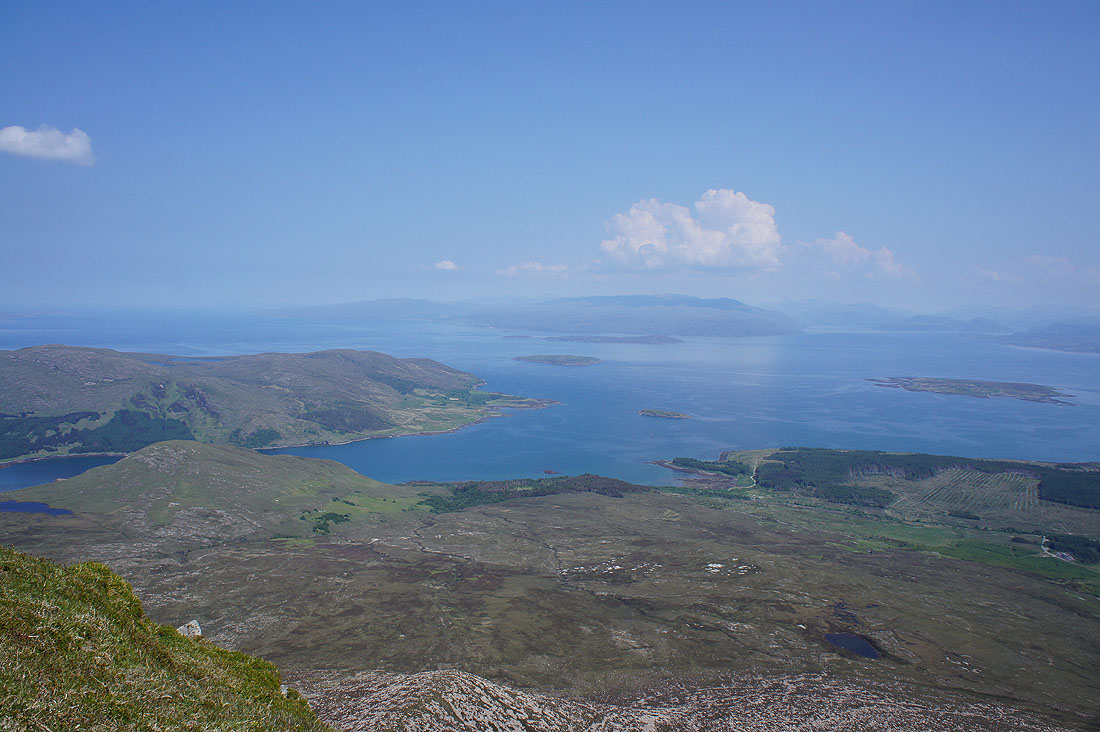
Looking northeast across Inner Sound to Applecross on the mainland. That's the Crowlin Islands and Longay in between.
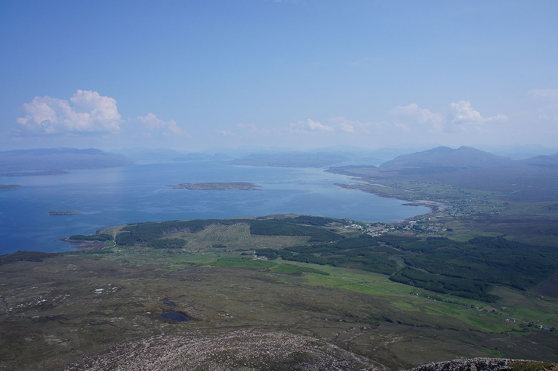
Pabay, Broadford Bay and the mountains around Plockton and Kyle of Lochalsh on the mainland
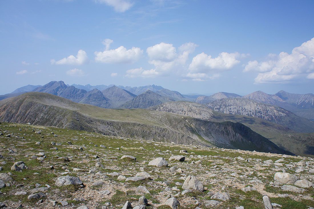
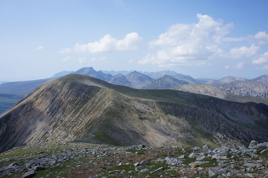
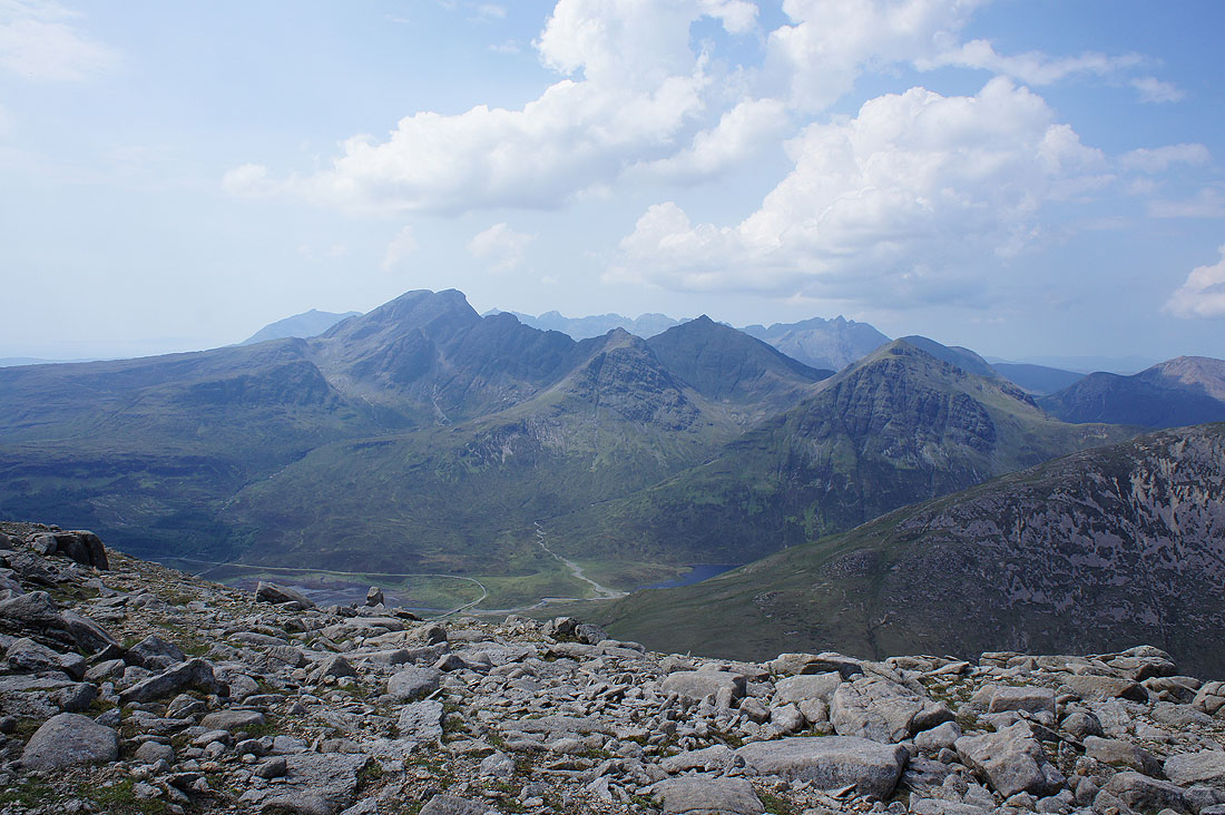
A fantastic view to the west. The Black Cuillin in the distance on the left with Blabheinn, Garbh-bheinn and Belig in front of them. On the right are Beinn Dearg Mheadhonach, Beinn Dearg Mhor and Glamaig. Nearby on the left is another Beinn Dearg Mhor, the one that is my next summit.
Finally to the south across the top of Beinn Dearg Bheag the hazy outlines of the islands of Eigg and Rum
Heading for Beinn Dearg Mhor, a simple ridge walk
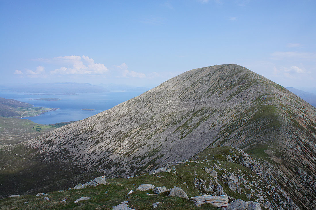
Looking across Coire Gorm to Beinn Dearg Bheag
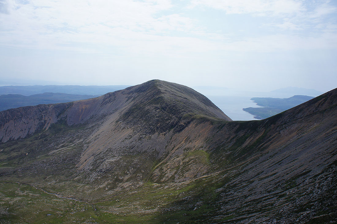
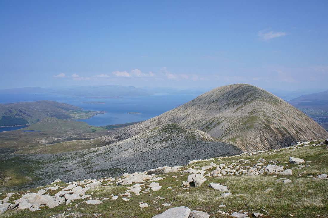
and back at Beinn na Caillich
On the summit of Beinn Dearg Mhor
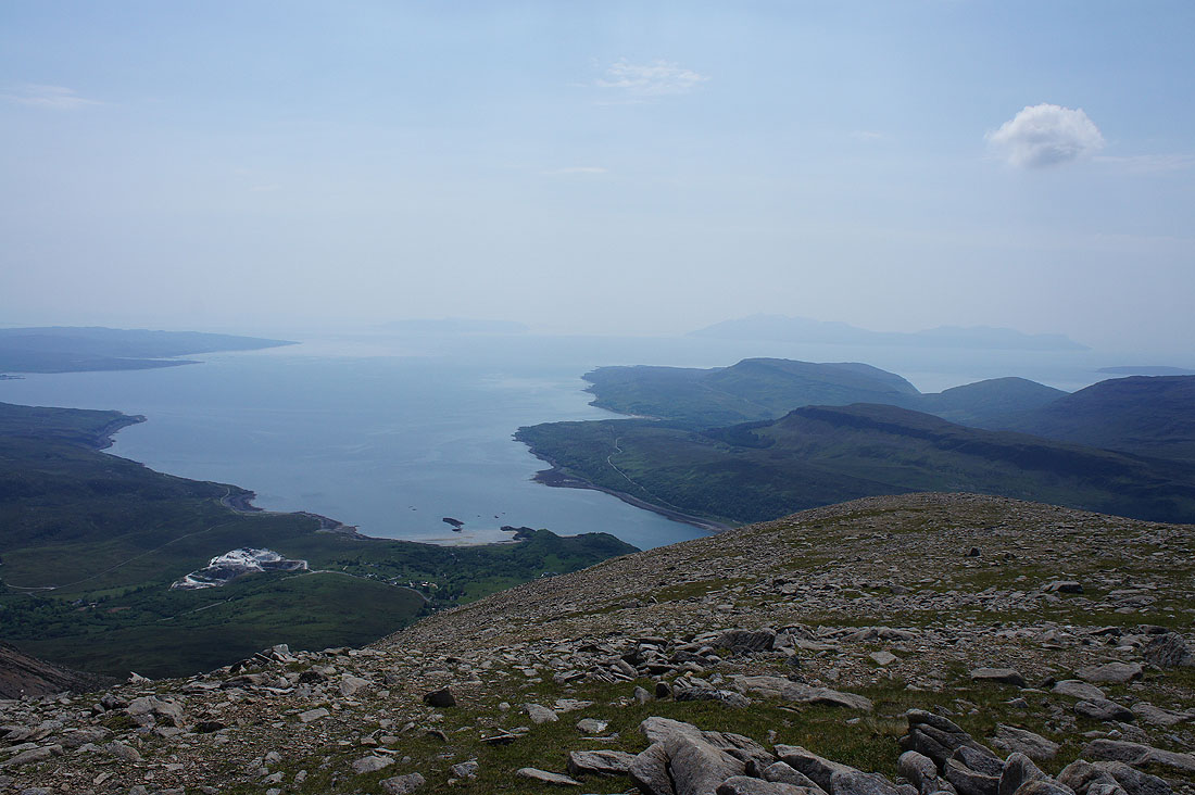
There's an even better view of Blabheinn and Garbh-bheinn from here. I can also see the head of Loch Slapin below along with the road to Elgol.
Beinn Dearg Mhor and Glamaig. The Trotternish peninsula in the distance, Loch Ainort and Loch na Cairidh with the islands of Raasay and Scalpay on the right.
Inner Sound and its islands in the background with Beinn na Caillich on the right
Looking down Loch Slapin to Eigg and Rum
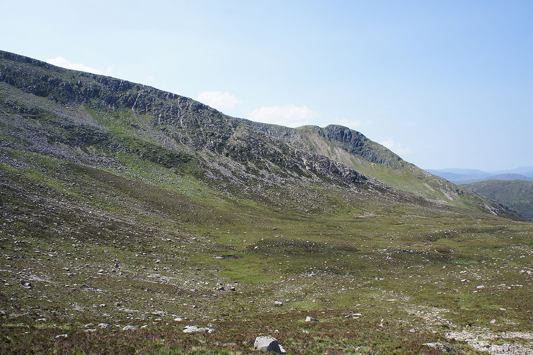
I started the descent from Beinn Dearg Mhor down the scree slope to Bealach Coire Sgreamhach but it was too much. I found the scree too unstable and I was reaching the point where I was going to get stuck so I made my way back up to find another way down. Having retraced my steps to the bealach between Beinn Dearg Mhor and Beinn na Caillich I decided to head down Coire Reidh. I could make out a faint line through the grass and heather below the boulder slope on the right.
The crags of Creagan Dubh
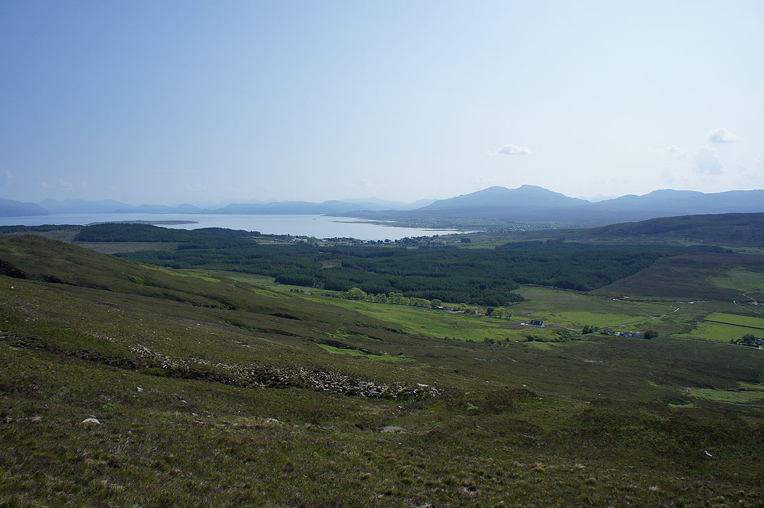
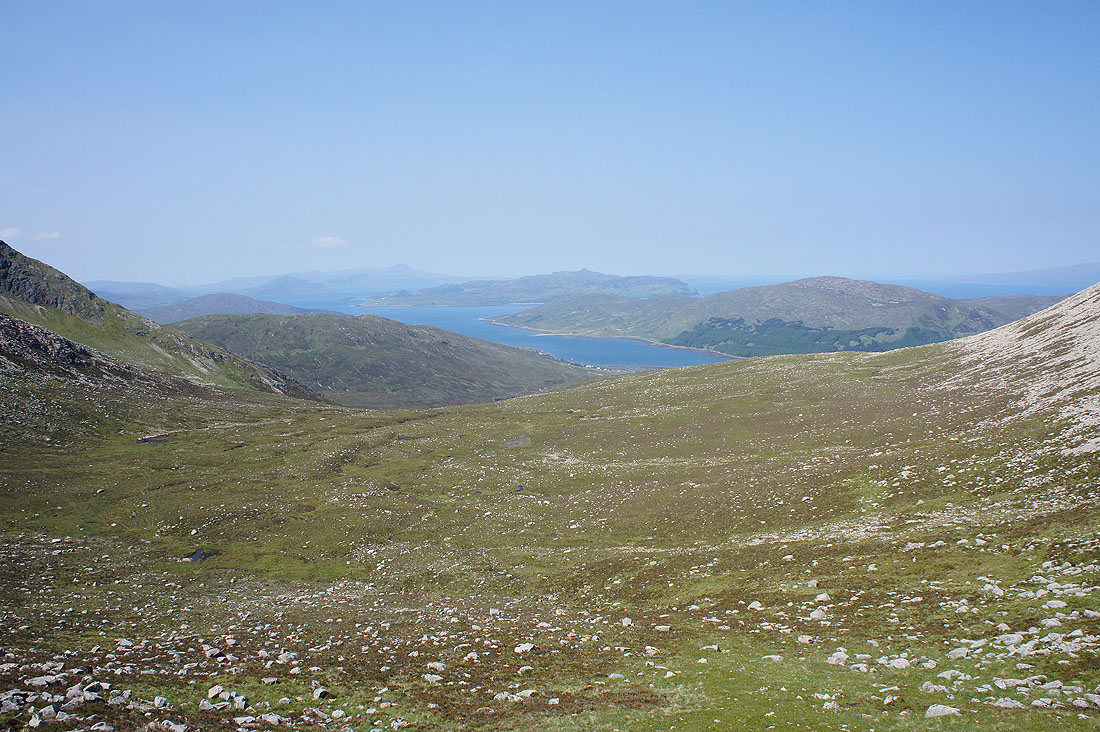
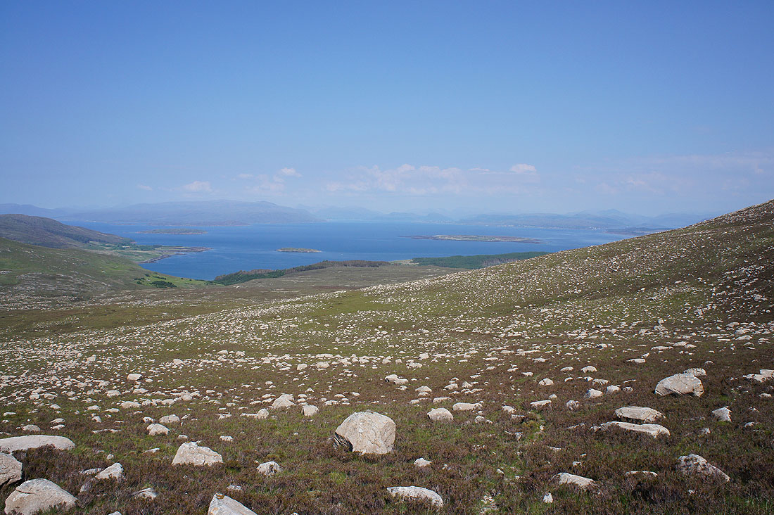
As I round the northern end of Beinn na Caillich Inner Sound comes into view
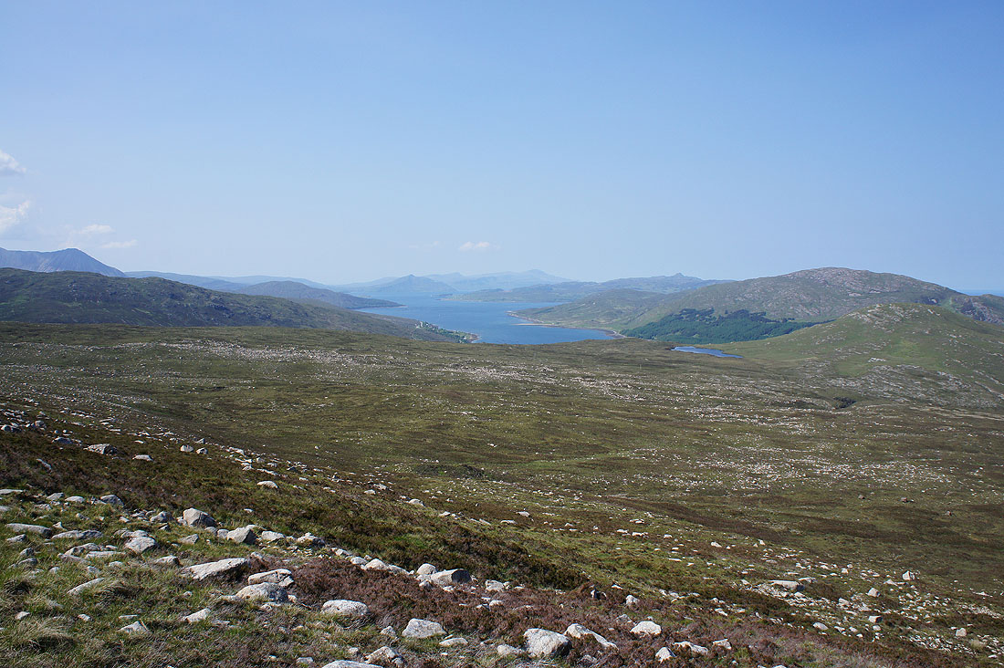
Loch na Cairidh with Ben Tianavaig and The Storr on Trotternish in the distance
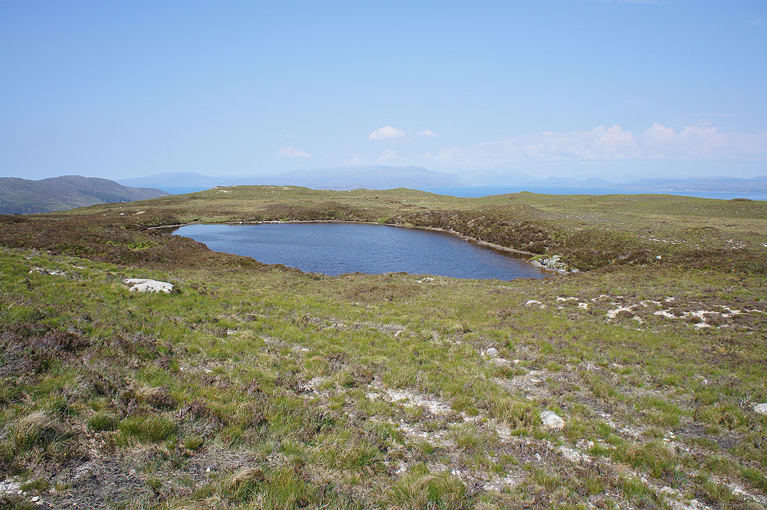
Lochain Beinn na Caillich
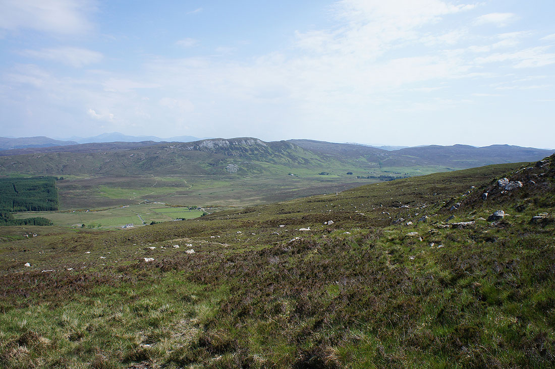
At last. Strath Suardal is back in view.
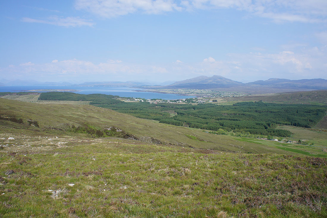
Broadford Bay and Broadford. The highest hill on the right behind Broadford is Sgurr na Coinnich.
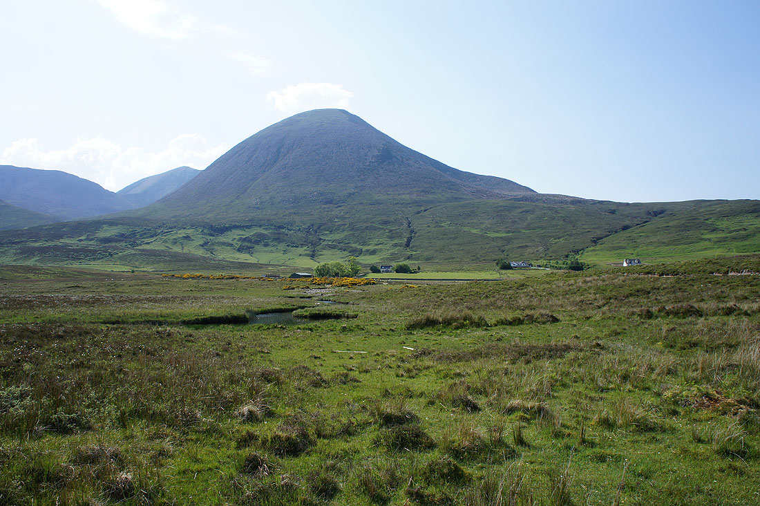
Almost back to the road end at Old Corry
Across the Broadford River again with Bheinn Shuardail in the background
Beinn na Caillich. My line of ascent was up the slope on the right, which doesn't look quite as daft as it does head on.
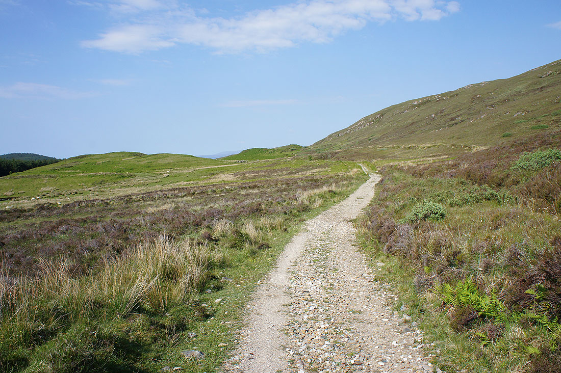
On the track back to where I'm parked
In Broadford after the walk and I'm in desperate need of refreshments. Fish and chips and a bottle of pop was had, sat on a bench with a view across Broadford Bay.
