6th June 2020 - By the Ribble and Beacon Hill
Walk Details
Distance walked: 10.7 miles
Total ascent: 1211 ft
OS map used: OL41 - Forest of Bowland & Ribblesdale
Time taken: 5.5 hrs
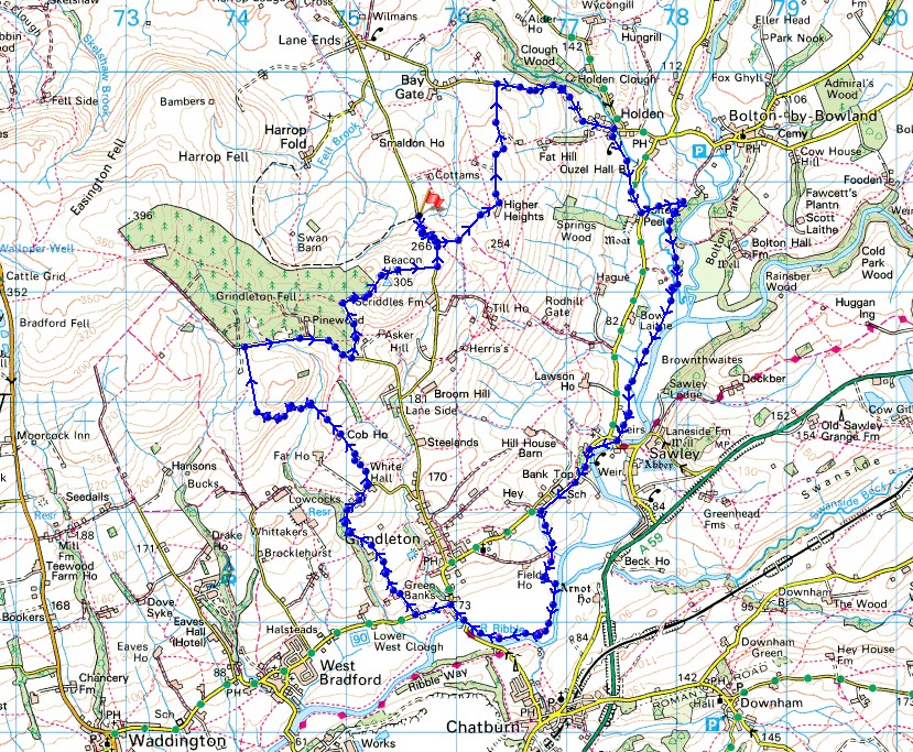
Route description: Smalden Lane-Rodhill Lane-Higher Heights-Holden Lane-Holden-Barrett Hill Brow-Holden Beck-Sawley Bridge-Sawley Road-Ribble Way-Grindleton Road-Green Lane-Cob Manor-Simpshey Hill-Shivering Ginnel-Beacon Hill-Smalden Lane
After weeks and weeks of fine weather and barely a drop of rain, a change of month has seen a change in the weather to something more unsettled. With there being a reasonable chance of getting rained upon at some point while I was out today, I actually had to carry a waterproof with me, and it was needed. A forecast of sunshine and showers, and a strong breeze made me decide on a route that kept to a relatively low level, and of course I didn't travel too far from home. In the end I went for a walk that I did a few years ago in the southeastern corner of the Forest of Bowland that takes in part of the Ribble Way, and the moorland above Grindleton and Sawley on the slopes of Easington Fell. As alluded to earlier, I did get caught by a few showers, but they passed through quickly on the breeze, and as compensation there was some lovely warm summer sunshine to enjoy between them.
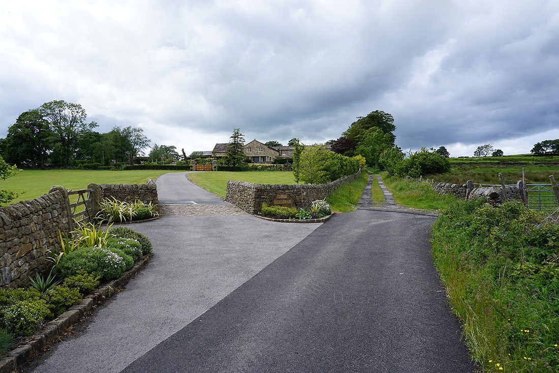
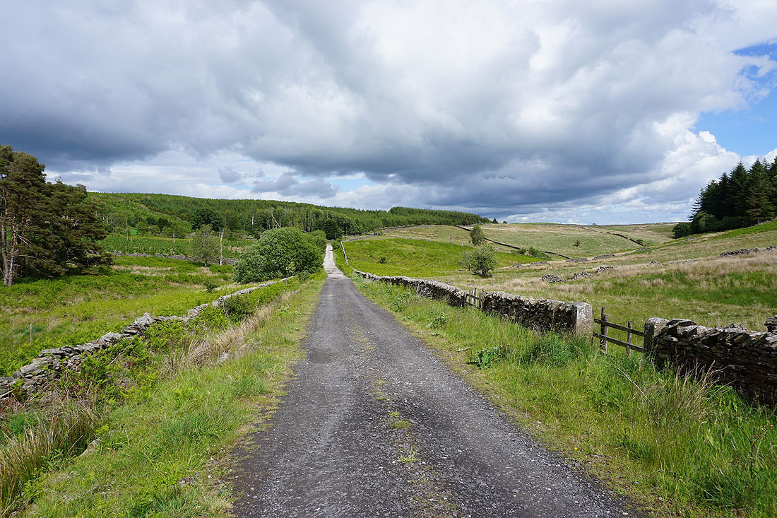
From where I parked in a layby at the top of Smalden Lane, I walked south along the road until I reached the track of Rodhill Lane on the left. I followed this bridleway downhill to Higher Heights Farm, and then took the bridleway north from here along the farm's access road to Holden Lane, which I then walked down and into the hamlet of Holden. Just before the bridge over Holden Beck I took a footpath on the right and followed this south across fields to Barrett Hill Brow, and after a brief walk south along this road I took a footpath on the left down to a footbridge over Holden Beck. Soon after crossing this I picked up a footpath that took me south across fields by Holden Beck, to the banks of the River Ribble and then to Sawley Bridge. I picked up the trail of the Ribble Way here, followed it up Sawley Road, down to the banks of the River Ribble and round to the bridge over the Ribble just south of Grindleton. The trail was left here to walk north up the road towards the centre of the village, then left onto the road towards West Bradford. When I reached the bridleway of Green Lane this was followed uphill to White Hall, and then I walked up Whitehall Lane to Cob House Barn and Cob Manor. From here I followed a bridleway uphill, and then took a bridleway down to and across West Clough Brook, and across the shoulder of Simpshey Hill to reach a track below the plantations on Grindleton Fell. I then turned right and walked along this track until I reached the end of the plantations, where I took a footpath on the left uphill to the track of Shivering Ginnel and east to the trig point on Beacon Hill. The footpath then continued east down to Smalden Lane, and after a walk north along this road I reached the layby where I was parked.
Total ascent: 1211 ft
OS map used: OL41 - Forest of Bowland & Ribblesdale
Time taken: 5.5 hrs
Route description: Smalden Lane-Rodhill Lane-Higher Heights-Holden Lane-Holden-Barrett Hill Brow-Holden Beck-Sawley Bridge-Sawley Road-Ribble Way-Grindleton Road-Green Lane-Cob Manor-Simpshey Hill-Shivering Ginnel-Beacon Hill-Smalden Lane
After weeks and weeks of fine weather and barely a drop of rain, a change of month has seen a change in the weather to something more unsettled. With there being a reasonable chance of getting rained upon at some point while I was out today, I actually had to carry a waterproof with me, and it was needed. A forecast of sunshine and showers, and a strong breeze made me decide on a route that kept to a relatively low level, and of course I didn't travel too far from home. In the end I went for a walk that I did a few years ago in the southeastern corner of the Forest of Bowland that takes in part of the Ribble Way, and the moorland above Grindleton and Sawley on the slopes of Easington Fell. As alluded to earlier, I did get caught by a few showers, but they passed through quickly on the breeze, and as compensation there was some lovely warm summer sunshine to enjoy between them.
From where I parked in a layby at the top of Smalden Lane, I walked south along the road until I reached the track of Rodhill Lane on the left. I followed this bridleway downhill to Higher Heights Farm, and then took the bridleway north from here along the farm's access road to Holden Lane, which I then walked down and into the hamlet of Holden. Just before the bridge over Holden Beck I took a footpath on the right and followed this south across fields to Barrett Hill Brow, and after a brief walk south along this road I took a footpath on the left down to a footbridge over Holden Beck. Soon after crossing this I picked up a footpath that took me south across fields by Holden Beck, to the banks of the River Ribble and then to Sawley Bridge. I picked up the trail of the Ribble Way here, followed it up Sawley Road, down to the banks of the River Ribble and round to the bridge over the Ribble just south of Grindleton. The trail was left here to walk north up the road towards the centre of the village, then left onto the road towards West Bradford. When I reached the bridleway of Green Lane this was followed uphill to White Hall, and then I walked up Whitehall Lane to Cob House Barn and Cob Manor. From here I followed a bridleway uphill, and then took a bridleway down to and across West Clough Brook, and across the shoulder of Simpshey Hill to reach a track below the plantations on Grindleton Fell. I then turned right and walked along this track until I reached the end of the plantations, where I took a footpath on the left uphill to the track of Shivering Ginnel and east to the trig point on Beacon Hill. The footpath then continued east down to Smalden Lane, and after a walk north along this road I reached the layby where I was parked.
Route map
© Crown copyright. All rights reserved. License number PU 100034184.
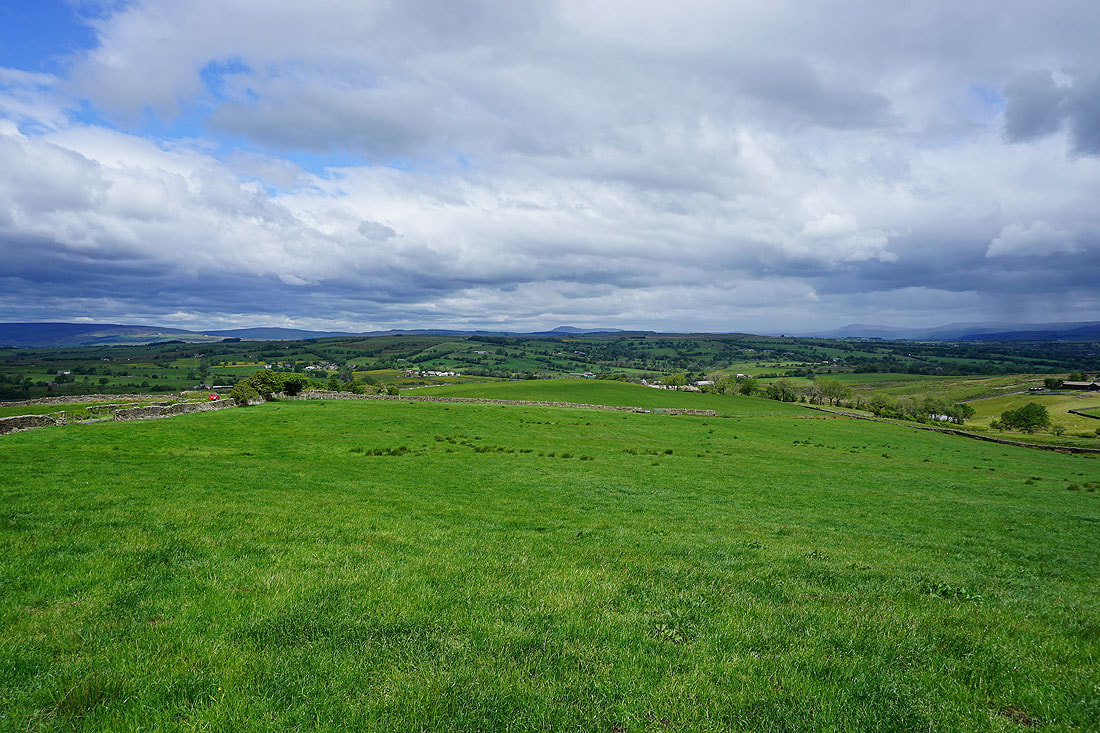
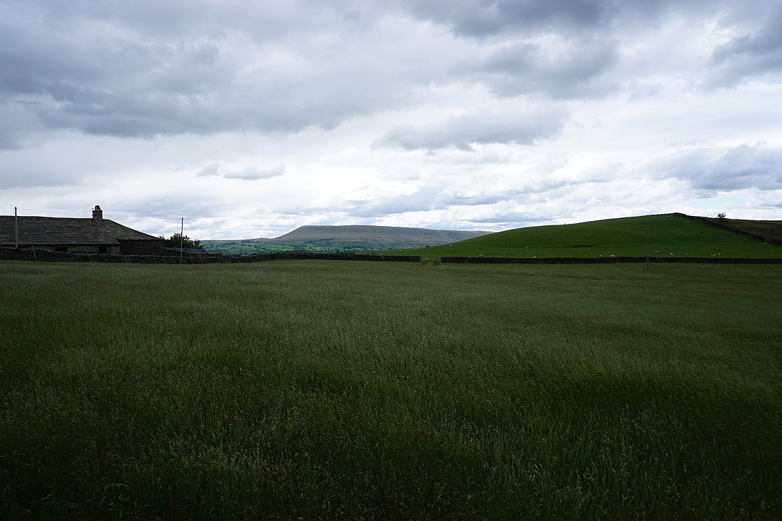
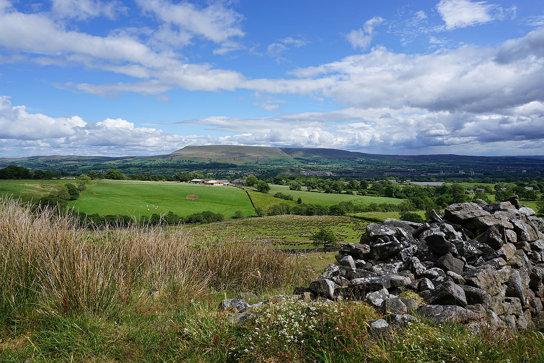
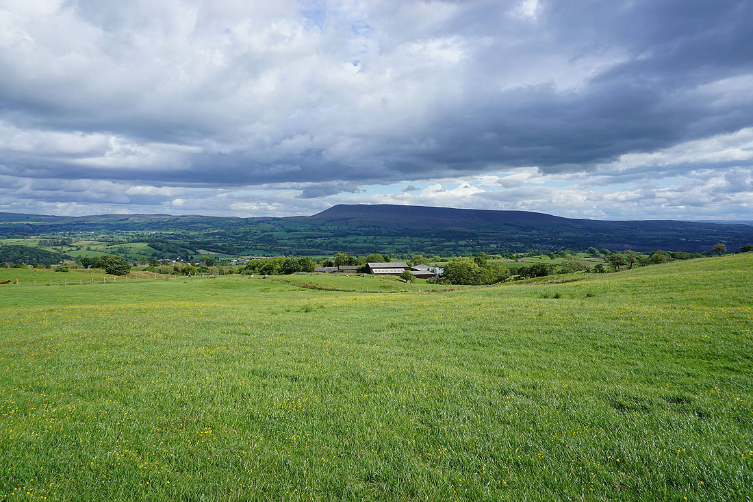
A great view to the north across the Forest of Bowland to Ingleborough and Penyghent from Smalden Lane
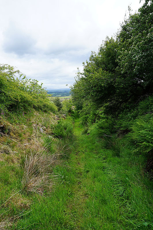
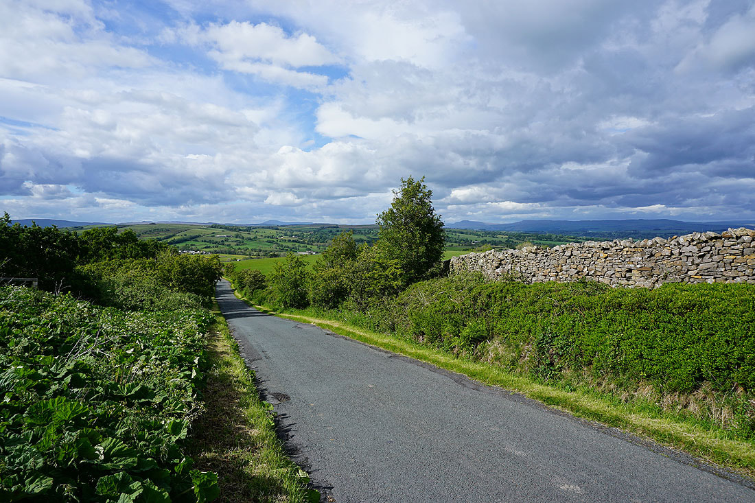
I leave Smalden Lane for the track of Rodhill Lane, which is squelchy underfoot despite the lack of rain..
Pendle Hill from Higher Heights Farm. It's a bit dull and overcast at the moment.
Following the bridleway from Higher Heights Farm down to Holden Lane
Barden Moor in the distance to the east
Weets Hill and Pendle Hill
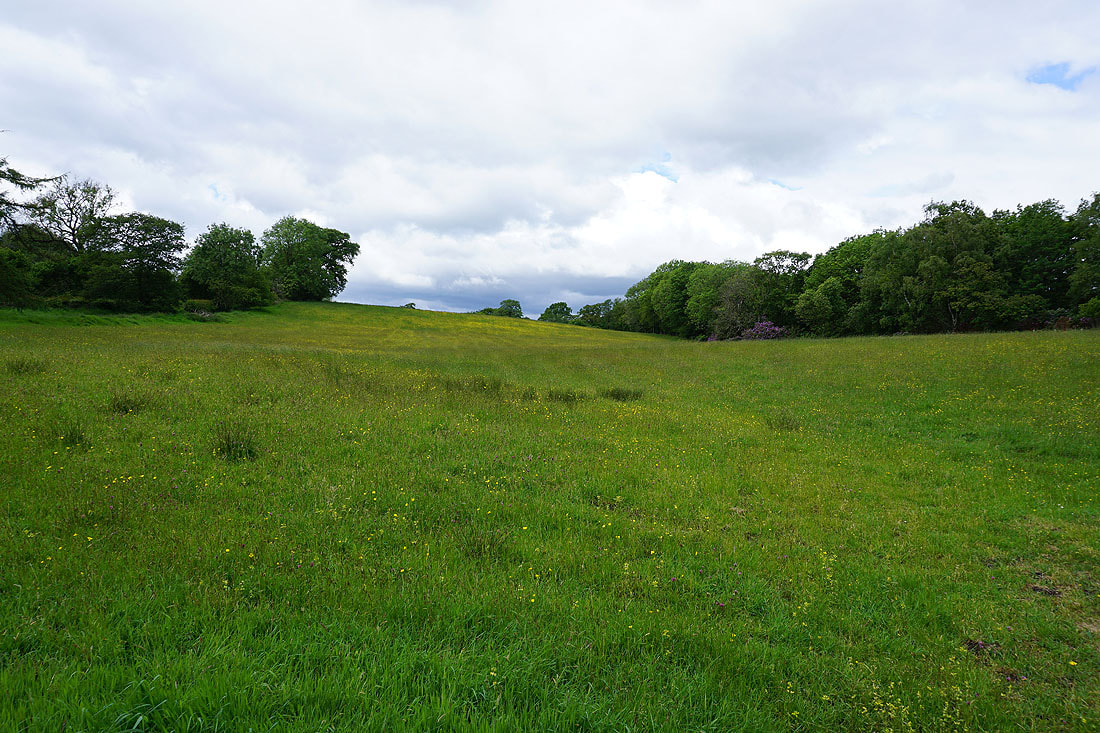
A buttercup filled field from Holden Lane
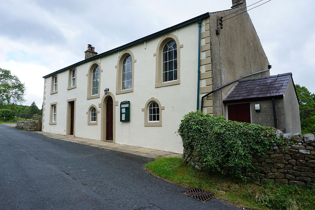
Holden Chapel
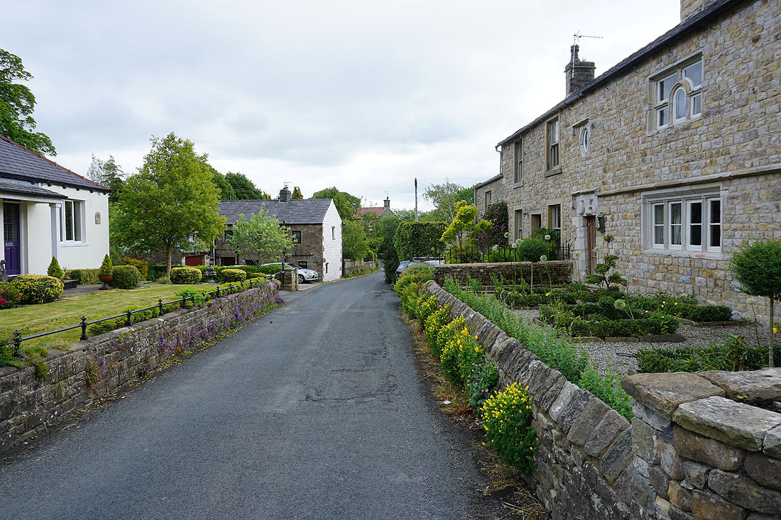
Passing through the hamlet of Holden
I leave Holden for a footpath south by Holden Beck, with a view of Pendle Hill ahead of me

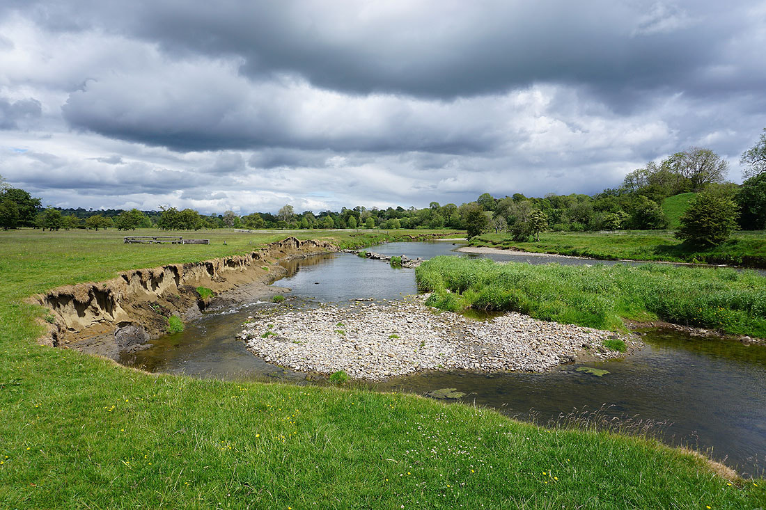
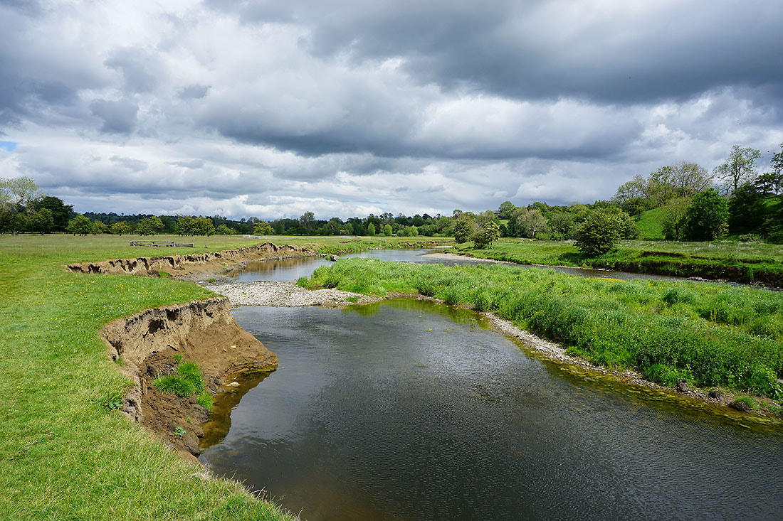
A couple of shots of Holden Beck. The excessive rainfall from earlier in the year has caused a bit of erosion..
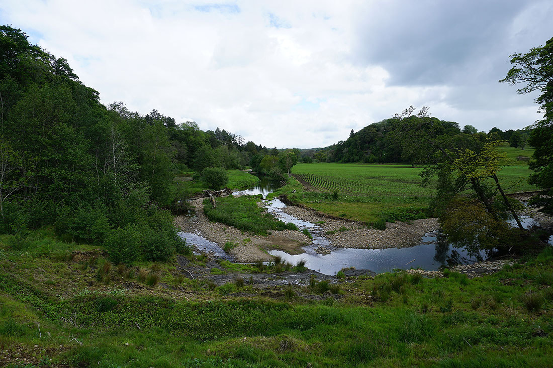
Crossing fields as I head for Sawley
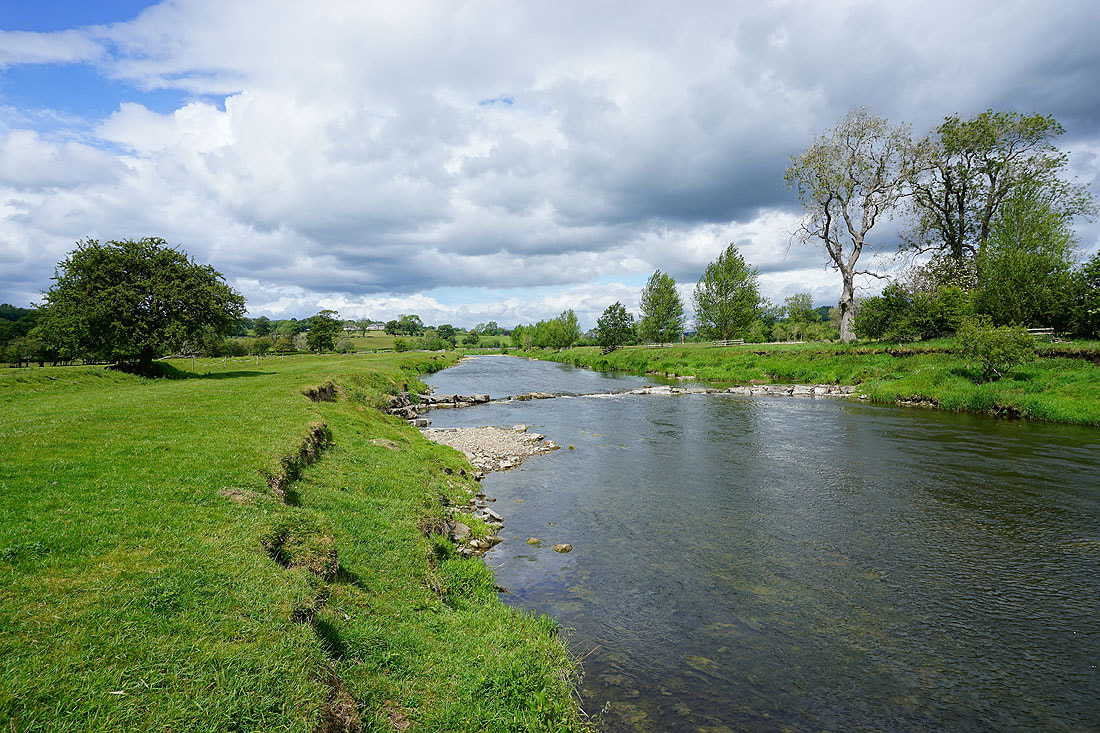
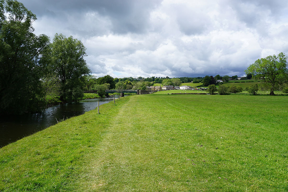
I briefly join the banks of the River Ribble..
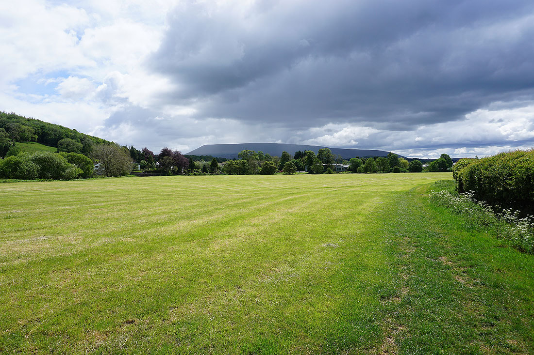
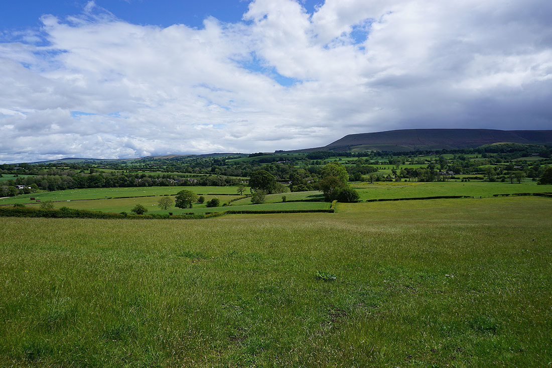
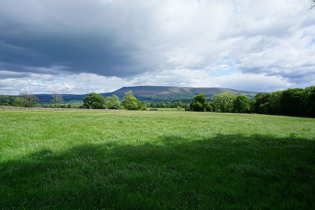
Pendle Hill as I approach Sawley
The combination of dark clouds and bright sunshine is quite dramatic
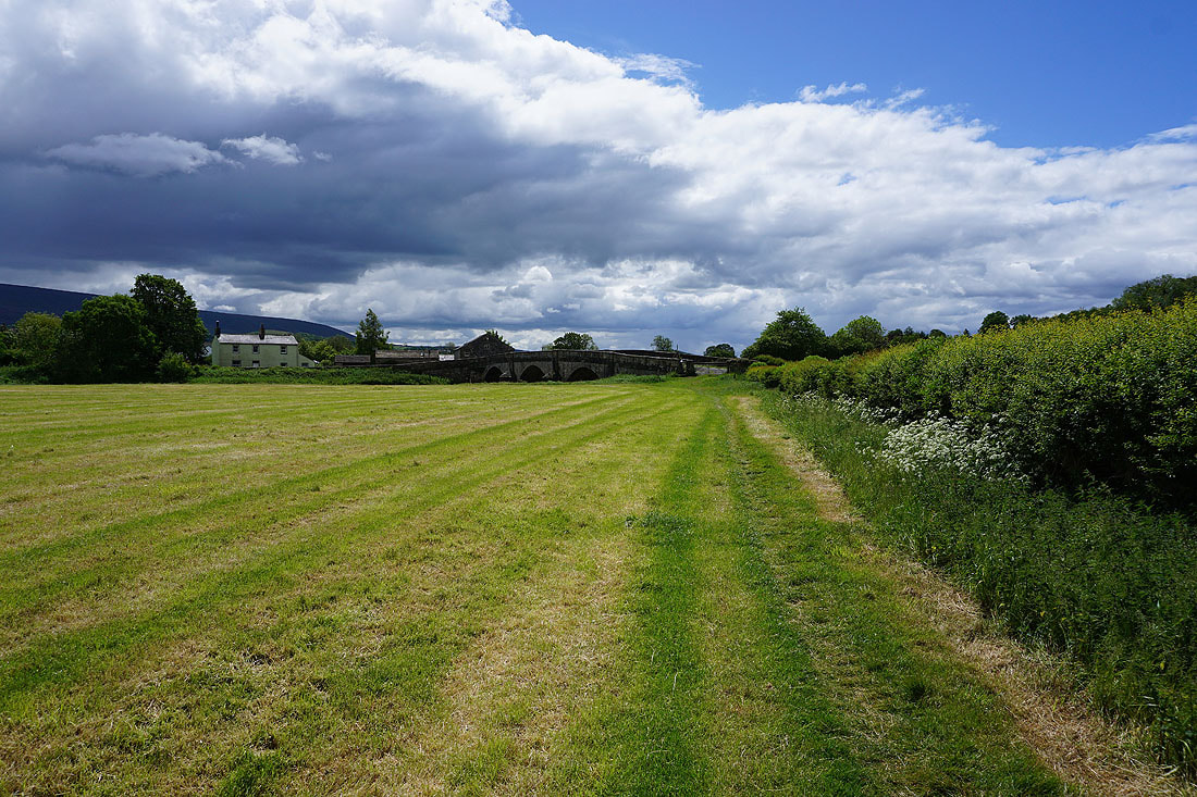
Sawley Bridge ahead
Pendle Hill from Sawley Bridge
More dramatic skies, and I think there's a shower on the way
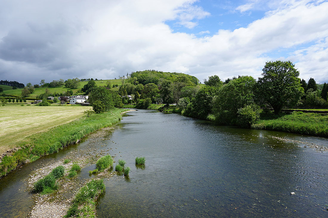
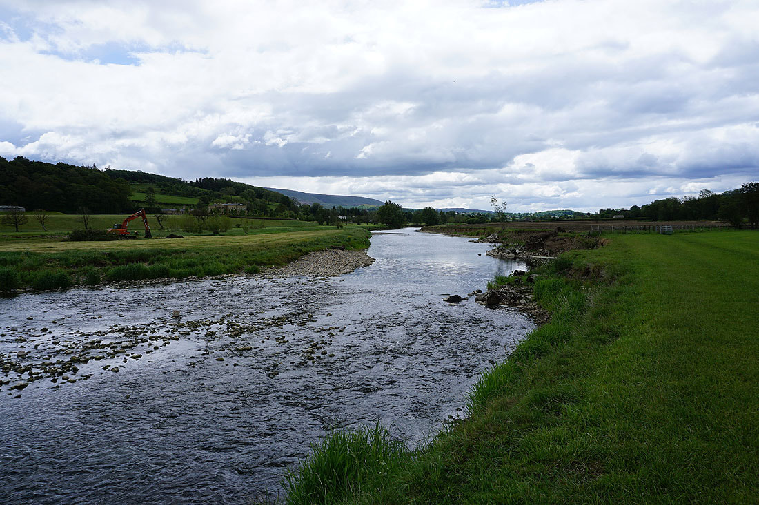
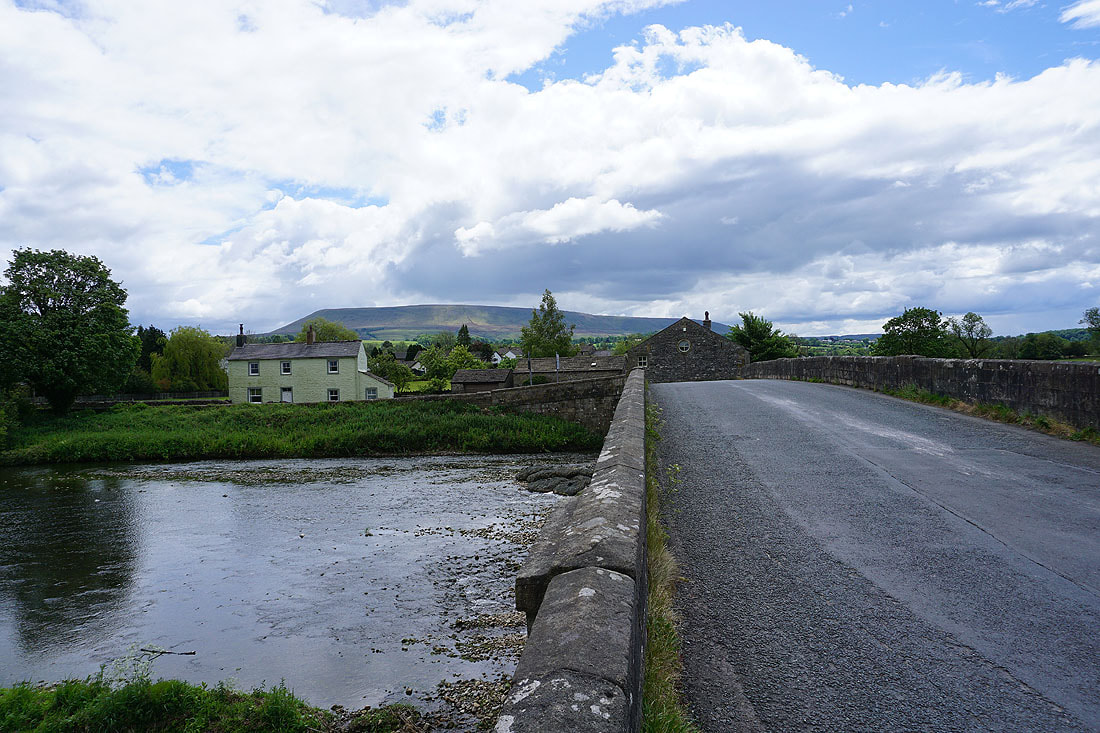
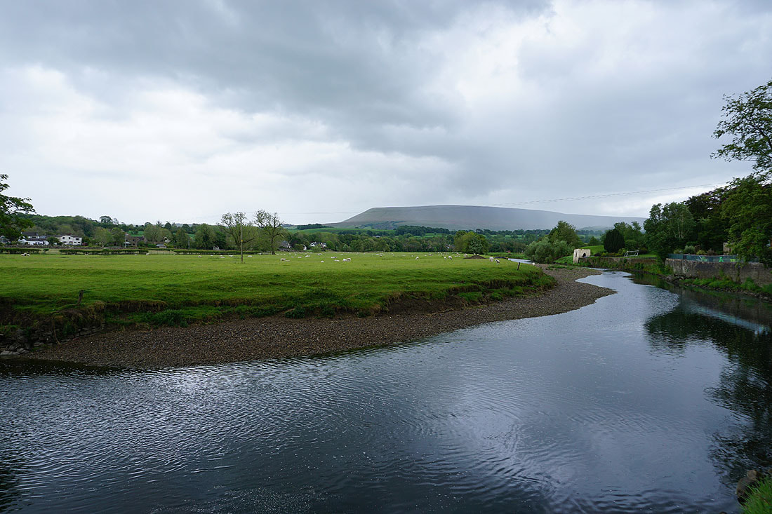
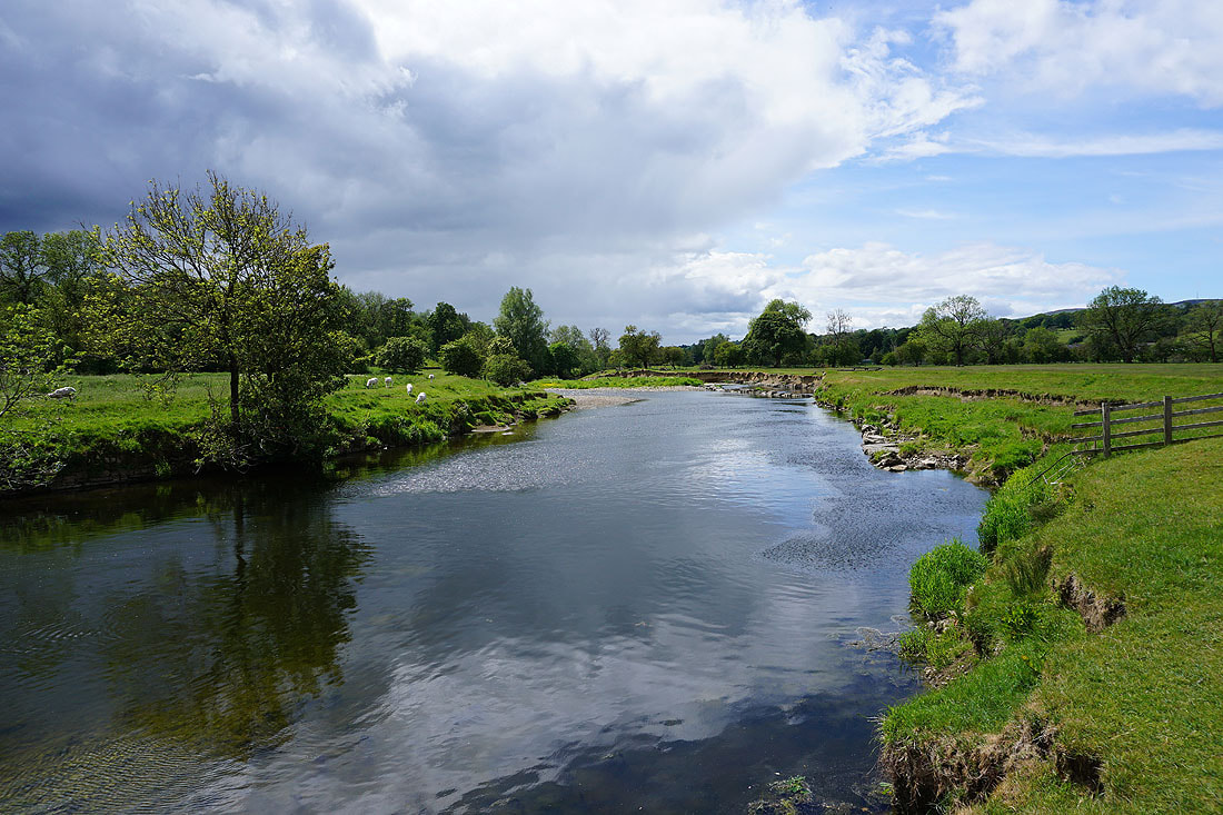
The River Ribble from Sawley Bridge..
A shower passed through while I was sat on a bench under a tree next to the Ribble Way. Bright sunshine returns for a while for this view of Sawley Bridge and the Ribble.
Pendle Hill and the River Ribble from Sawley Road
Another shower passes through while walking up Sawley Road towards Grindleton..
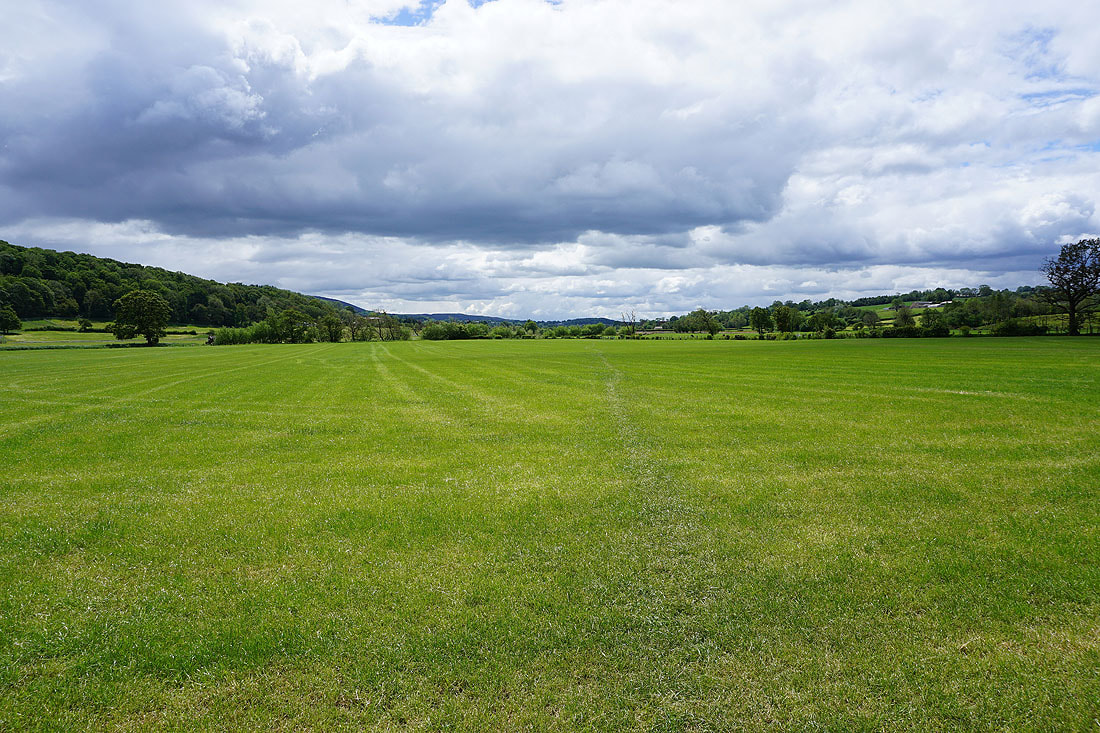
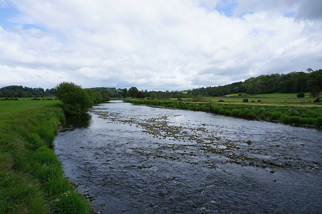
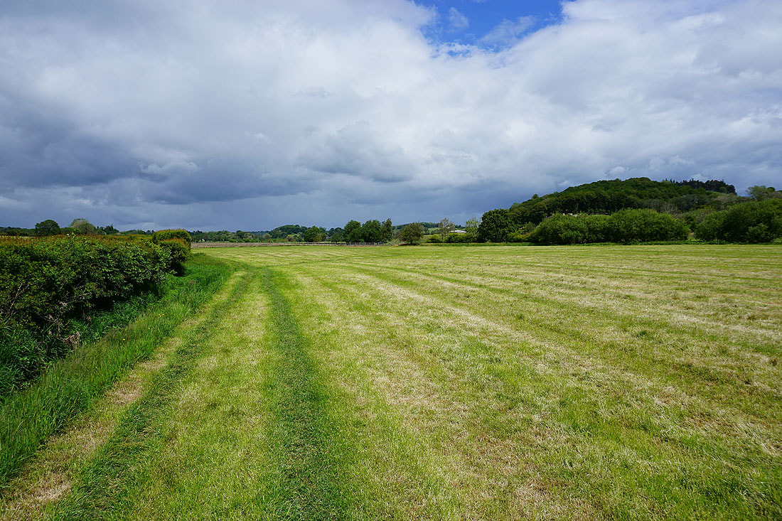
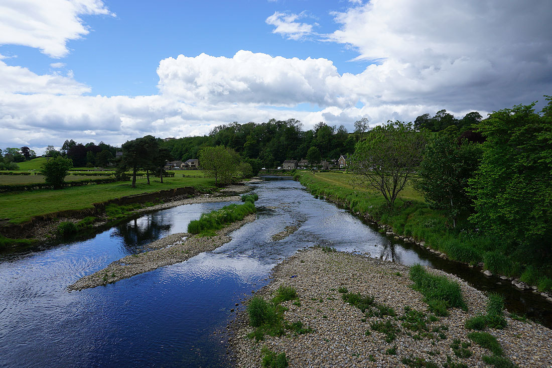
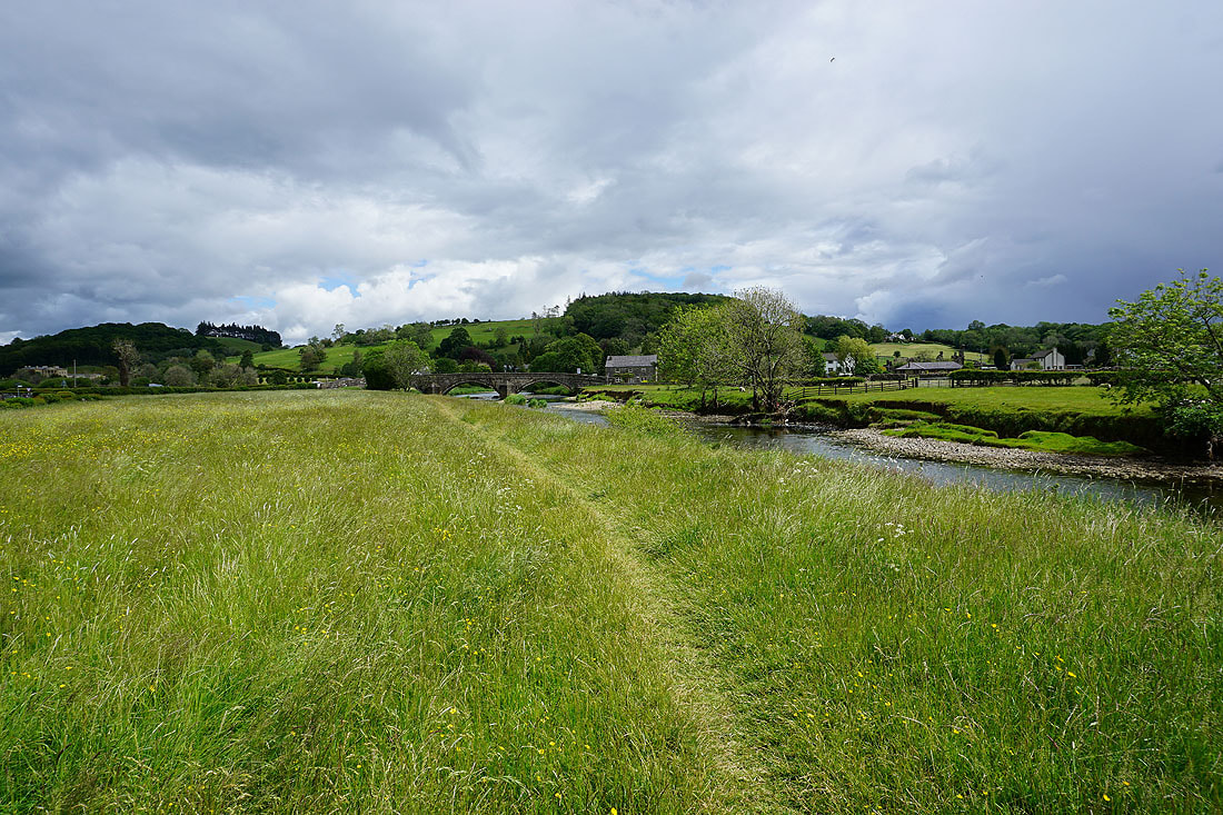
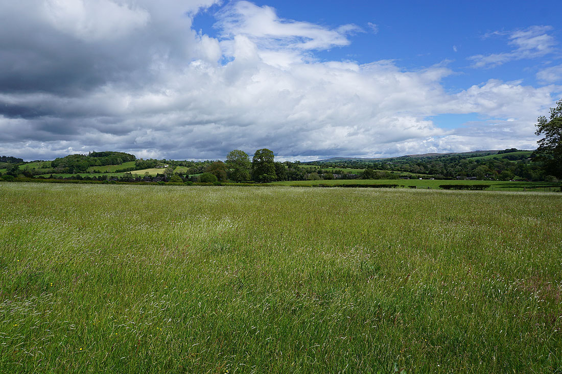
Lush green countryside as I follow the Ribble Way down to the river....
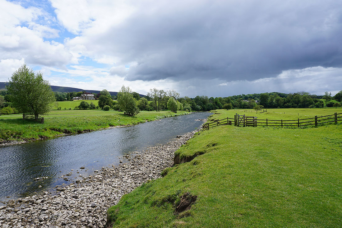
By the River Ribble as I follow the Ribble Way towards Grindleton......
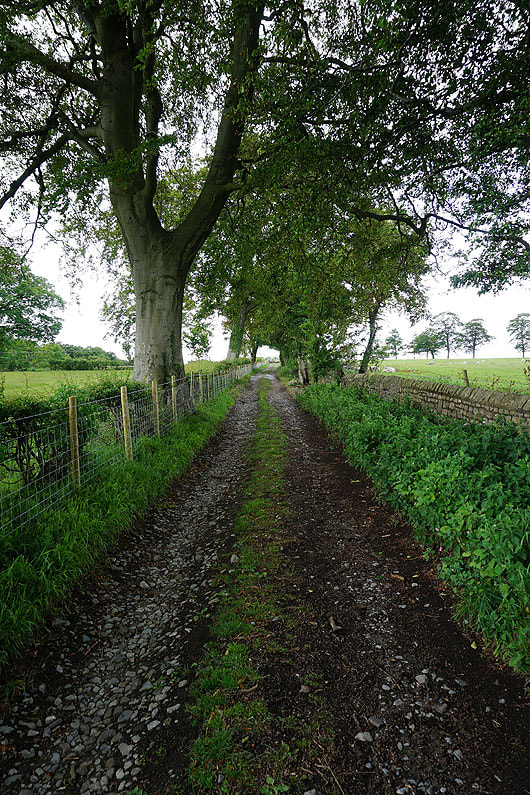
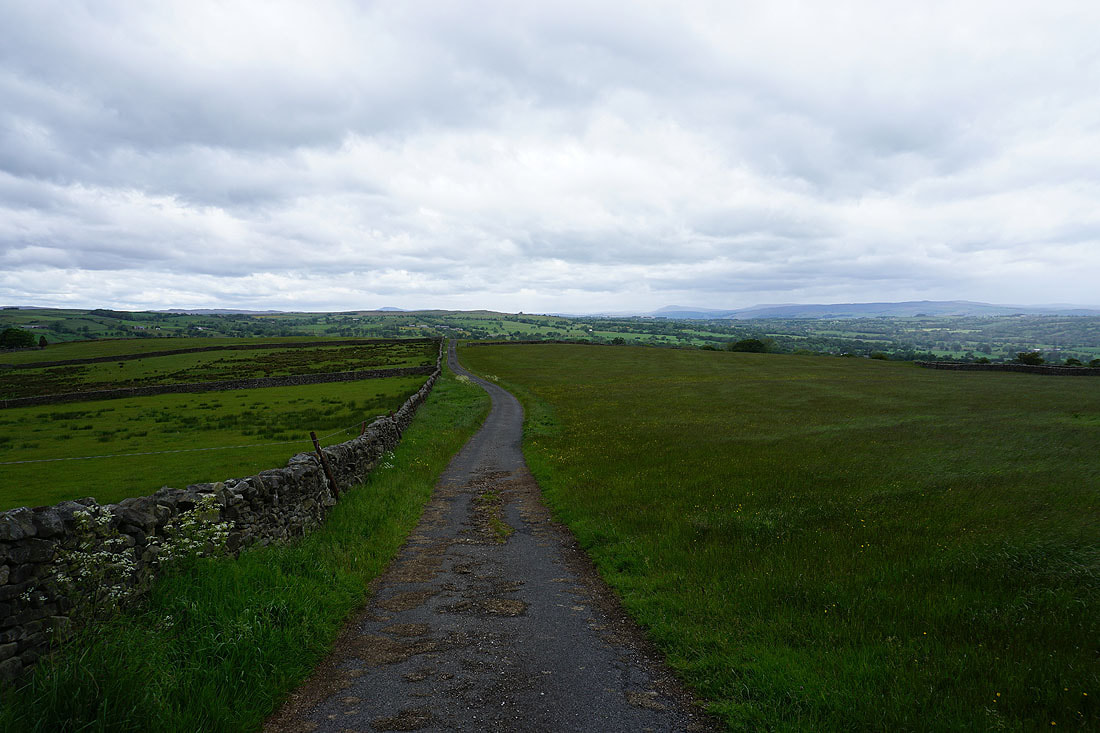
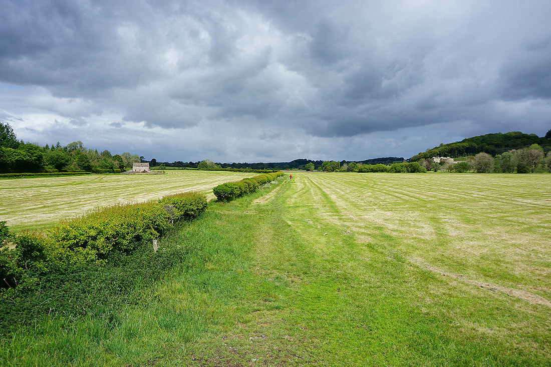
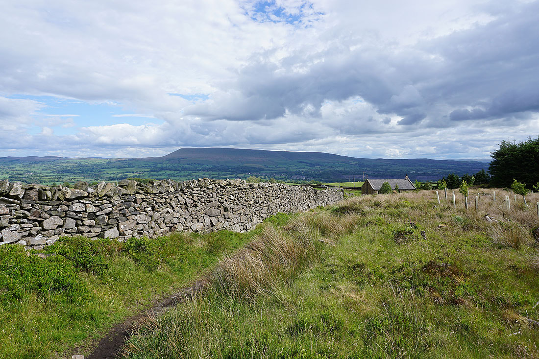
Heading up the track of Green Lane from Grindleton
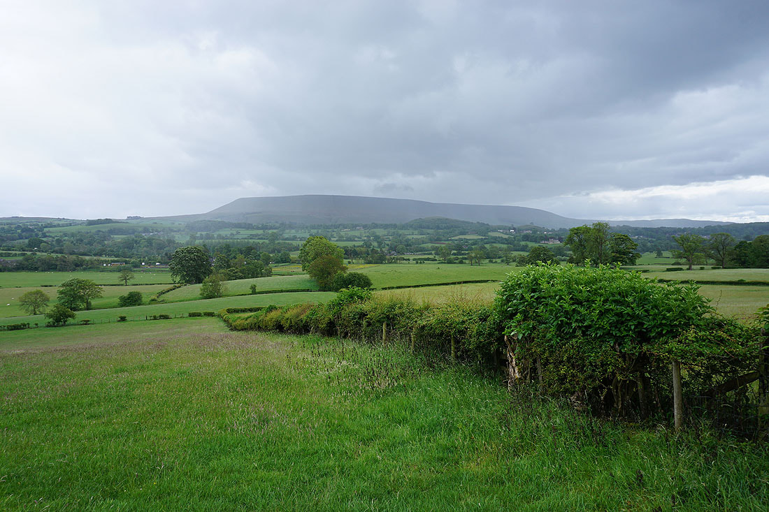
Pendle Hill from above Green Banks
Continuing up Green Lane
Pendle Hill from Green Lane below White Hall
I reach Cob Manor and the bridleway continues up to the right
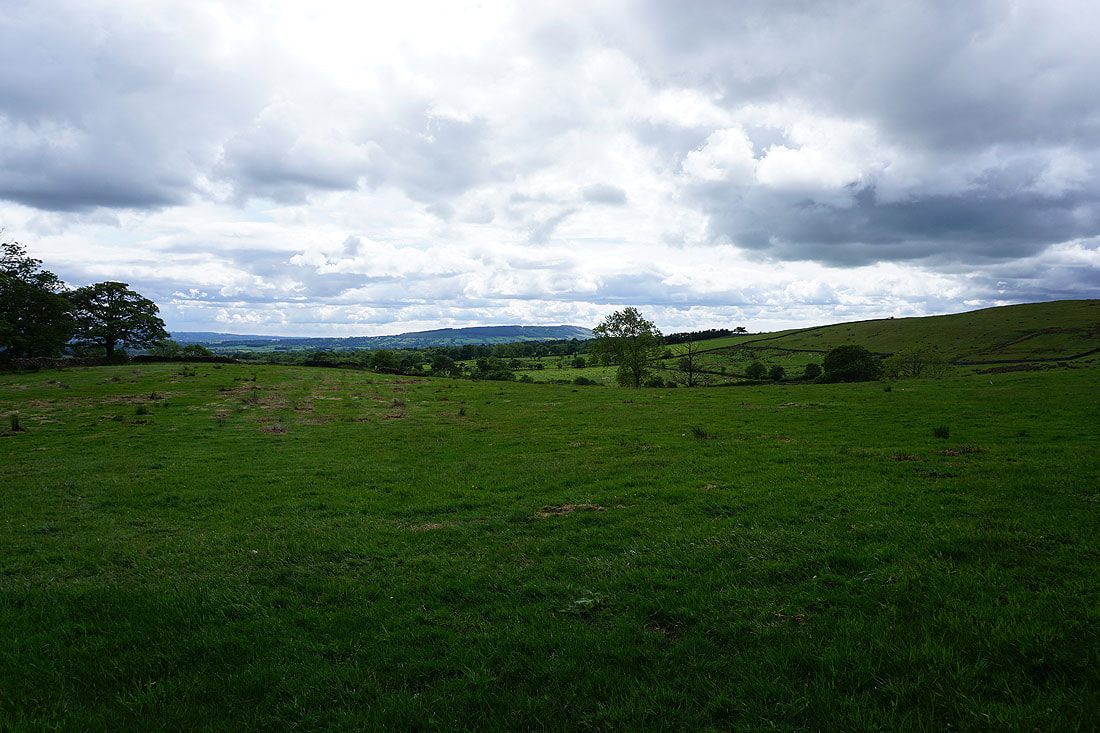
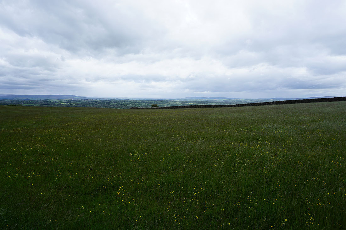
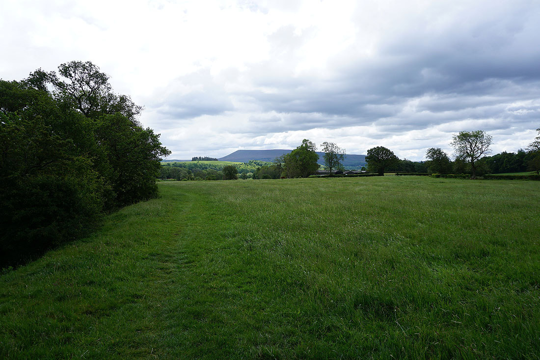
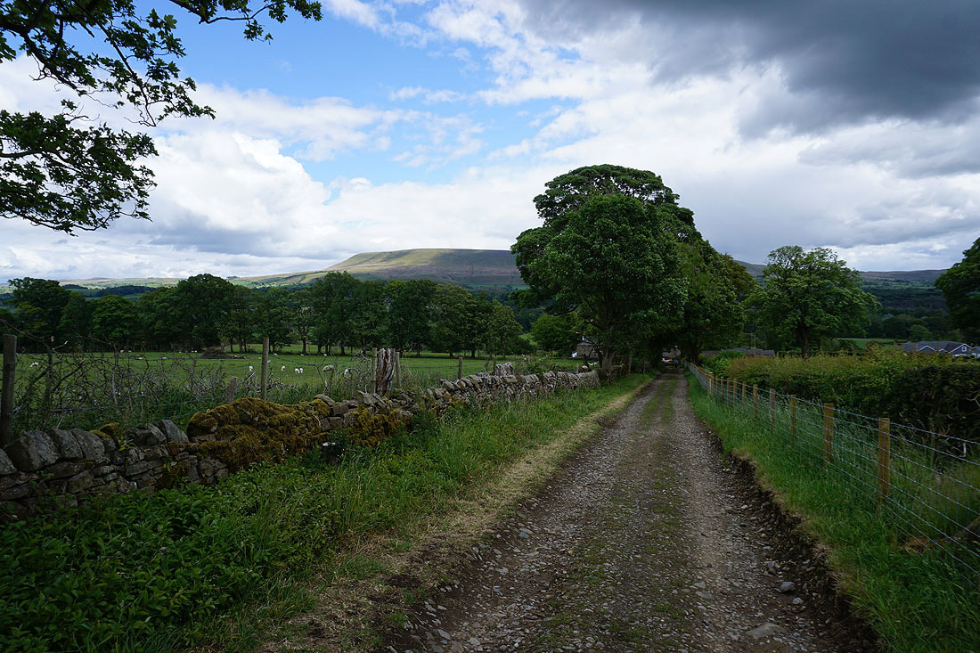
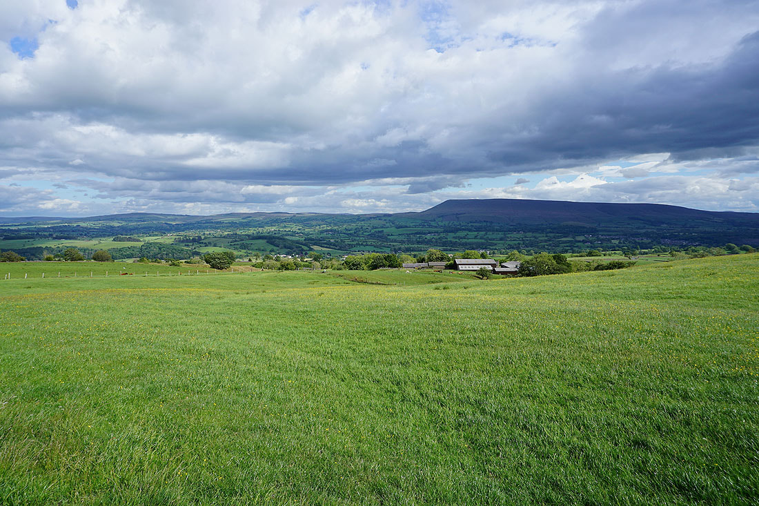
A bit of sunshine on Longridge Fell in the distance
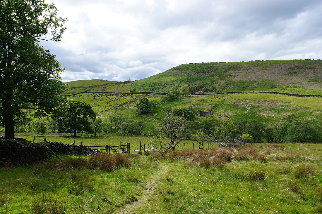
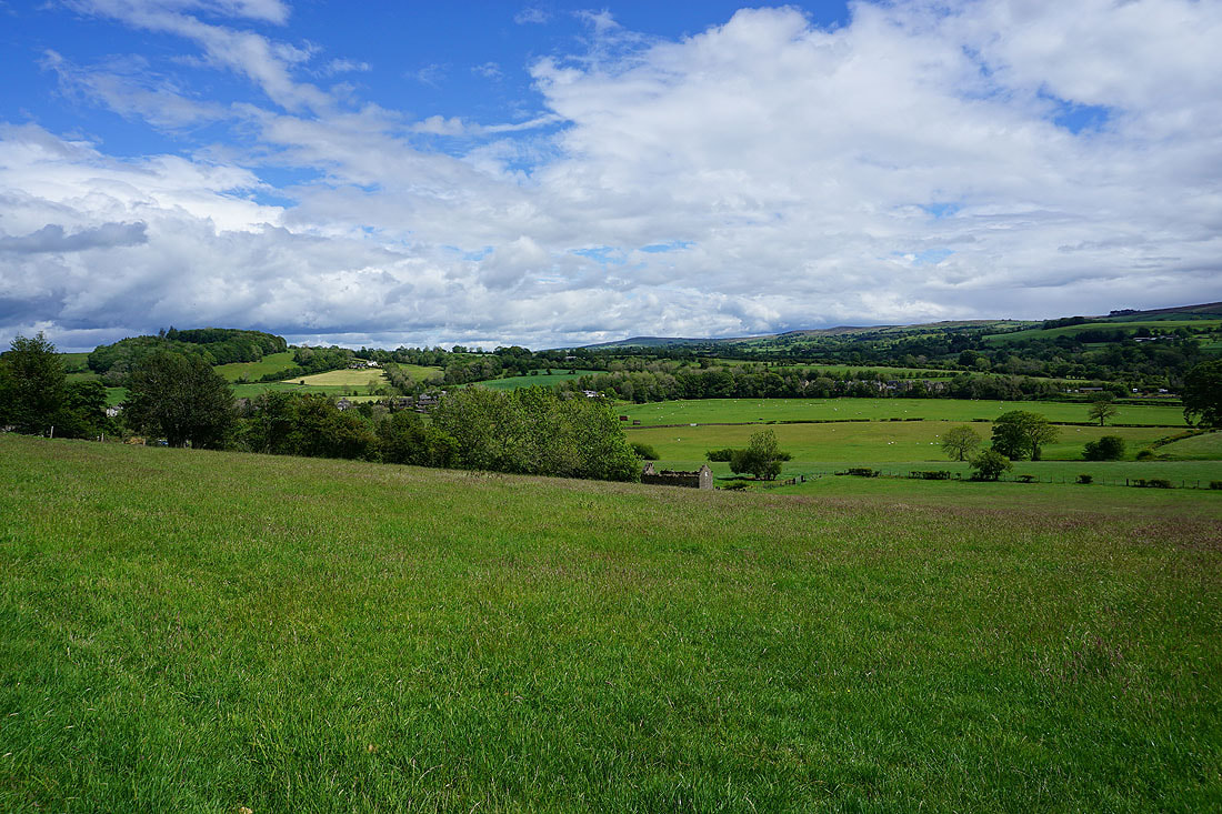
On the bridleway down to West Clough Brook and round the side of Simpshey Hill
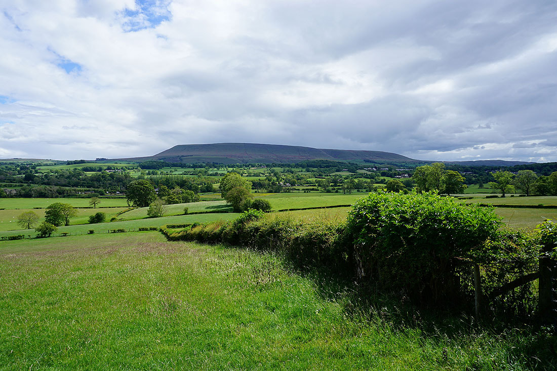
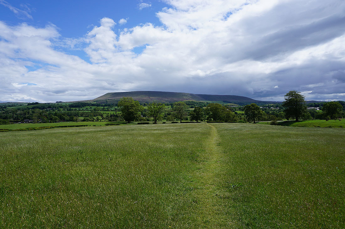
I get a pretty good view of Pendle Hill as the bridleway crosses the shoulder of Simpshey Hill
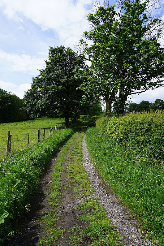
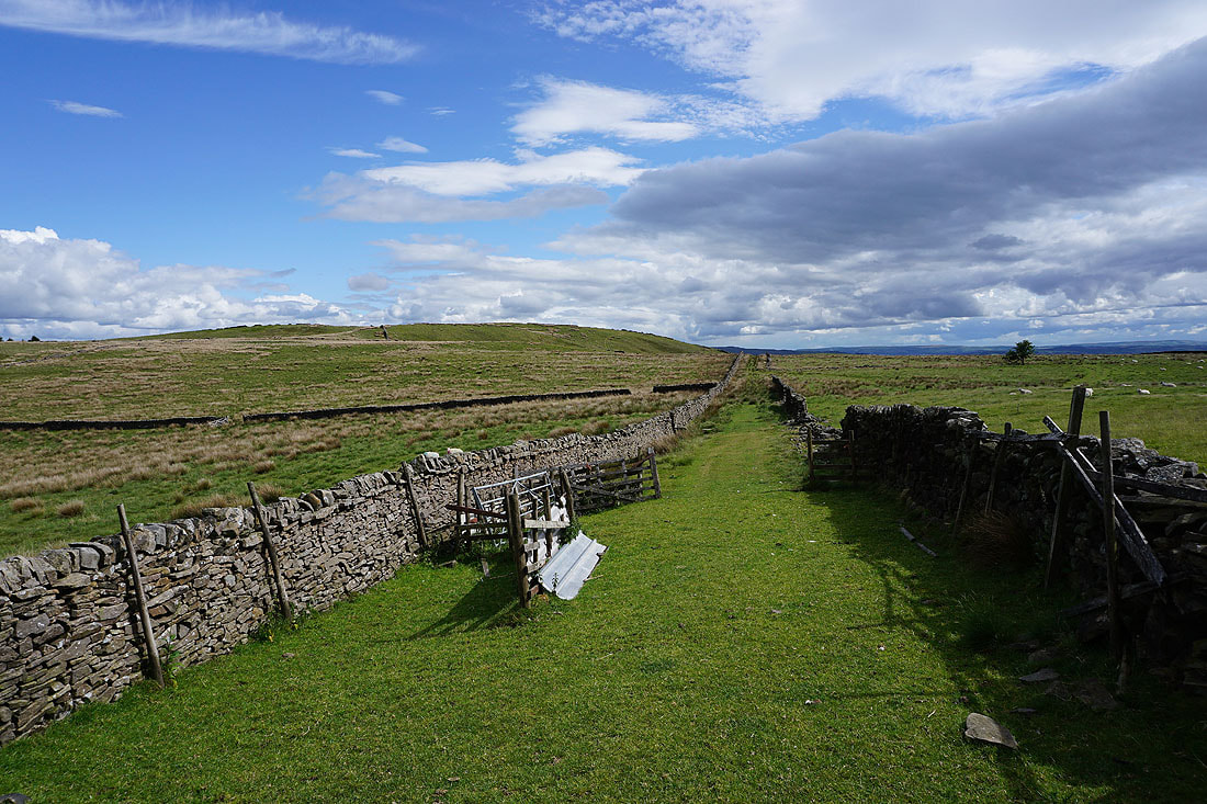
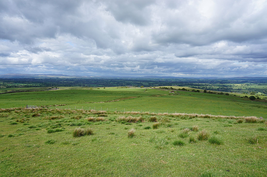
Following the bridleway north towards Grindleton Fell
Looking back to Simpshey Hill
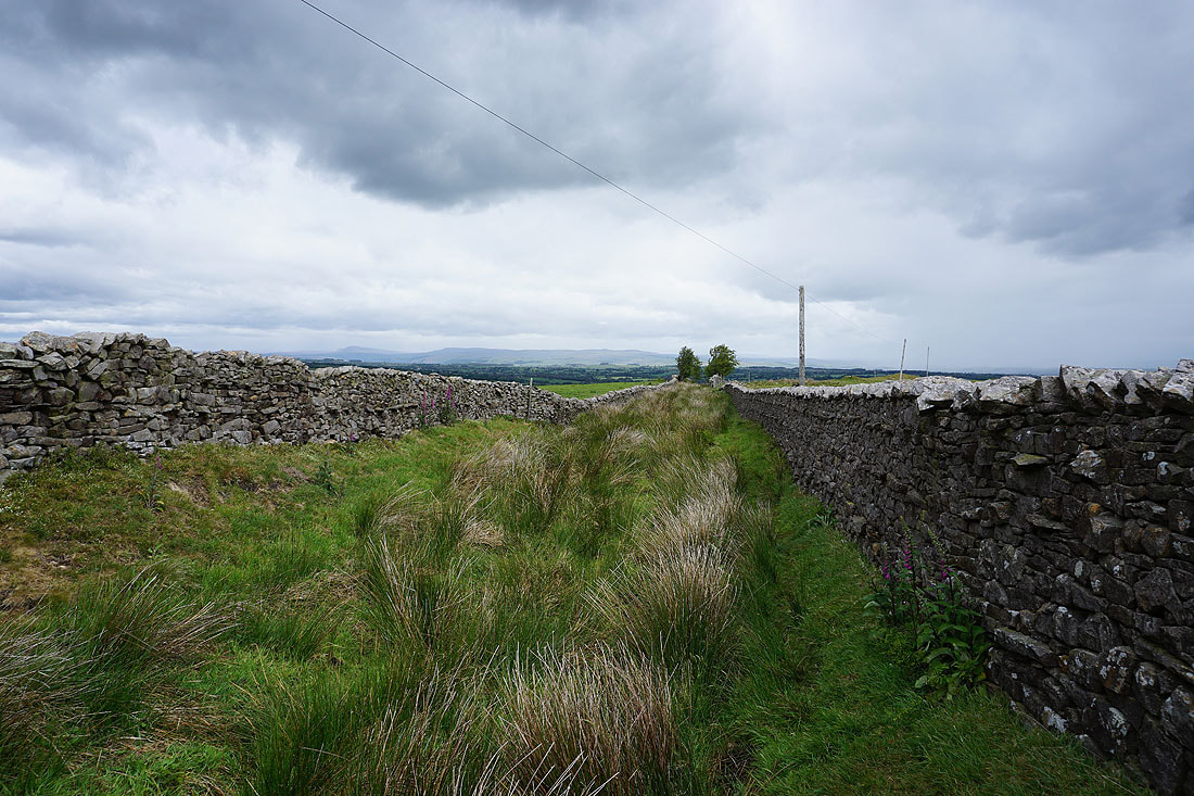
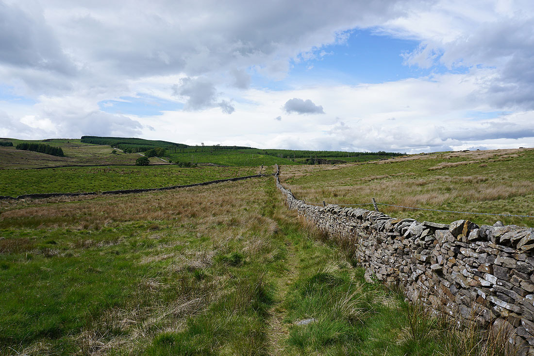
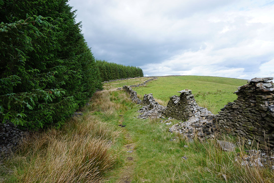
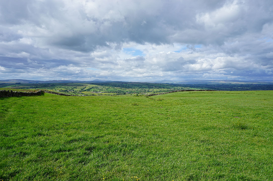
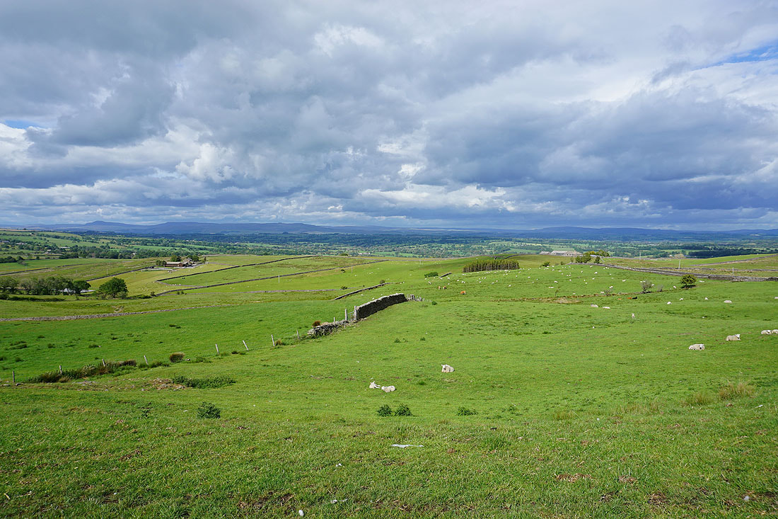
Following the byway east below the conifer plantations on Grindleton Fell
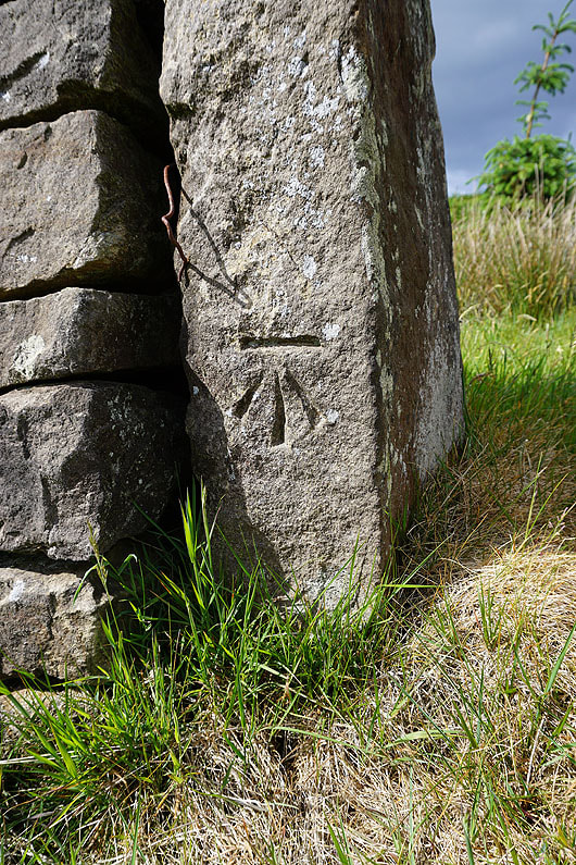
OS benchmark on a gatepost
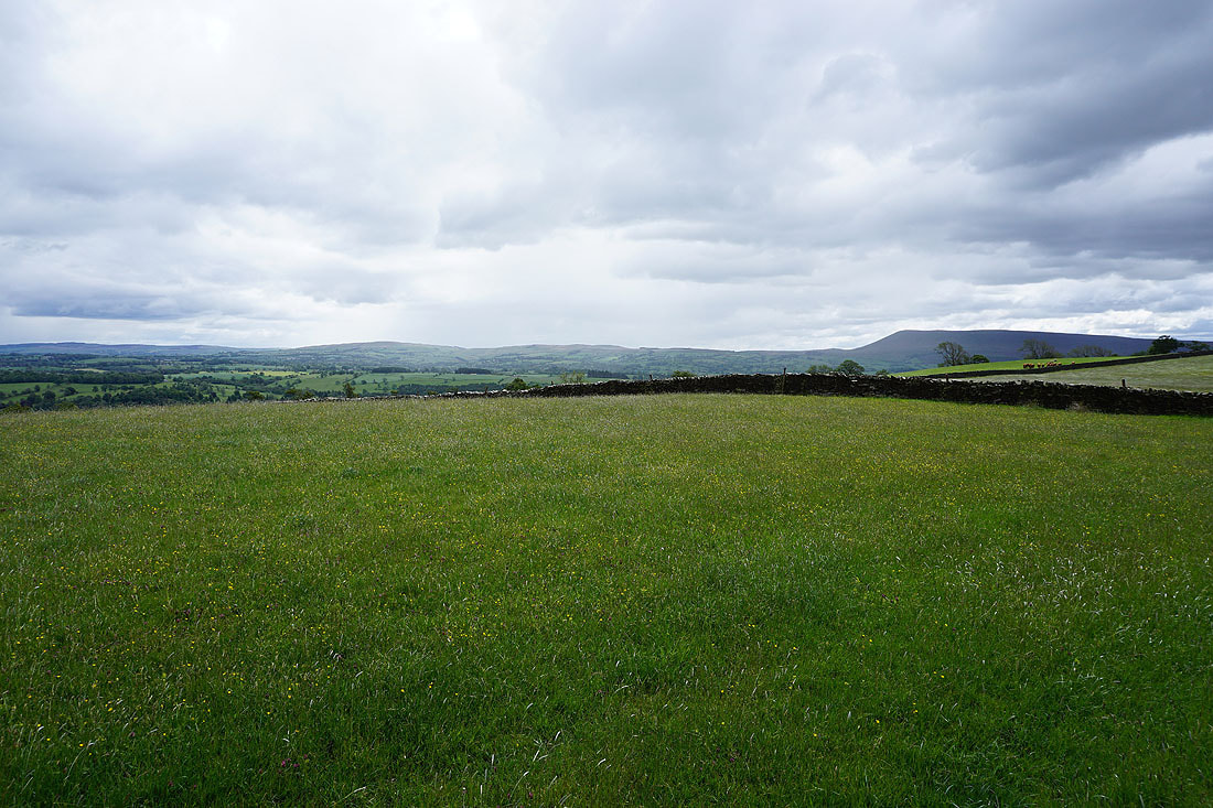
Pendle Hill from above Lower Asker Hill
On the imaginatively named track of "Shivering Ginnel"

Beacon Hill appears on the right
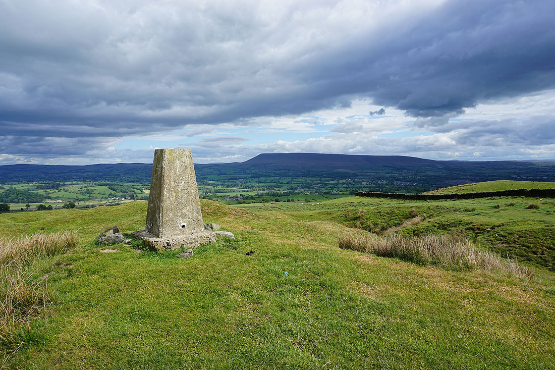
Pendle Hill to the south on the other side of the Ribble Valley. Beacon Hill is a great viewpoint. It should be if it's going to be the site of a beacon.
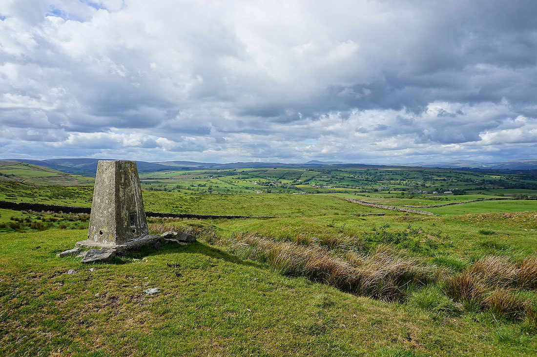
To the north, White Hill, Catlow Fell and Bowland Knotts in the Forest of Bowland, with the distinctive profile of Ingleborough beyond
To the east, the moors between Settle and Malham, along with Barden Moor
I think the view to the north is even better as I leave the trig point and follow the path east to Smalden Lane
Weets Hill, Rimington Moor, Twiston Moor and Pendle Hill..
Penyghent, Fountains Fell, Rye Loaf Hill and Barden Moor in the distance
Finally, as I make it back to the layby on Smalden Lane, a great view to Ingleborough, Penyghent and Fountains Fell in the distance