6th March 2011 - Penyghent
Walk Details
Distance walked: 9.0 miles
Total ascent: 1915 ft
OS map used: OL2 - Yorkshire Dales, Southern & Western areas
Time taken: 5 hrs
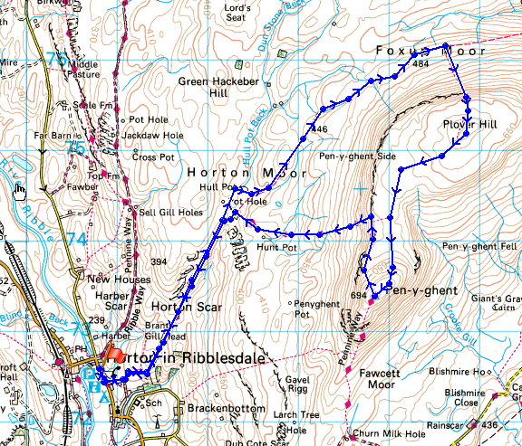
Route description: Horton-in-Ribblesdale-Pennine Way-Hull Pot-Foxup Moor-Plover Hill-Penyghent-Pennine Way-Horton-in-Ribblesdale
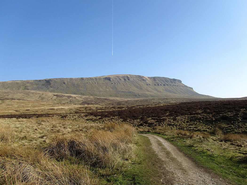
Penyghent from Horton-in-Ribblesdale. Route up was by the Pennine Way and the bridleway to Foxup Moor. Plover Hill was then climbed and the path followed over to Penyghent. The Pennine Way was then followed back to Horton-in-Ribblesdale.
Route map
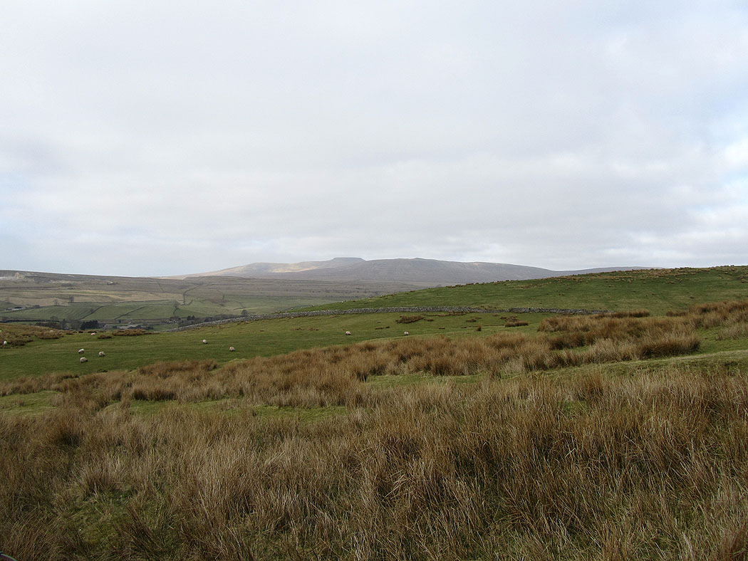
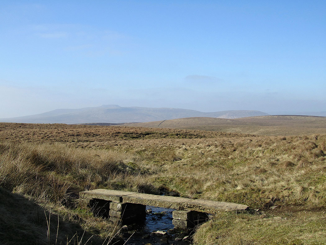
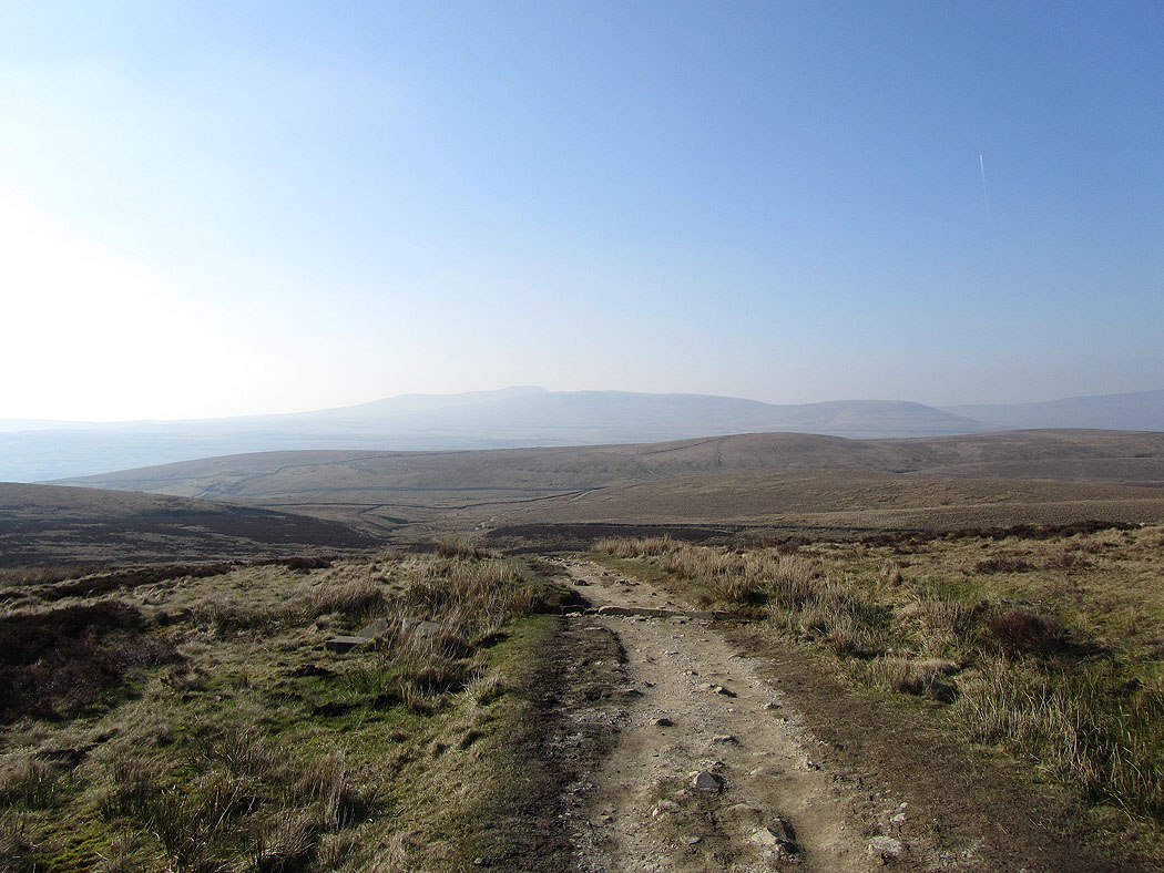
Ingleborough in the distance from the track up out of Horton-in-Ribblesdale
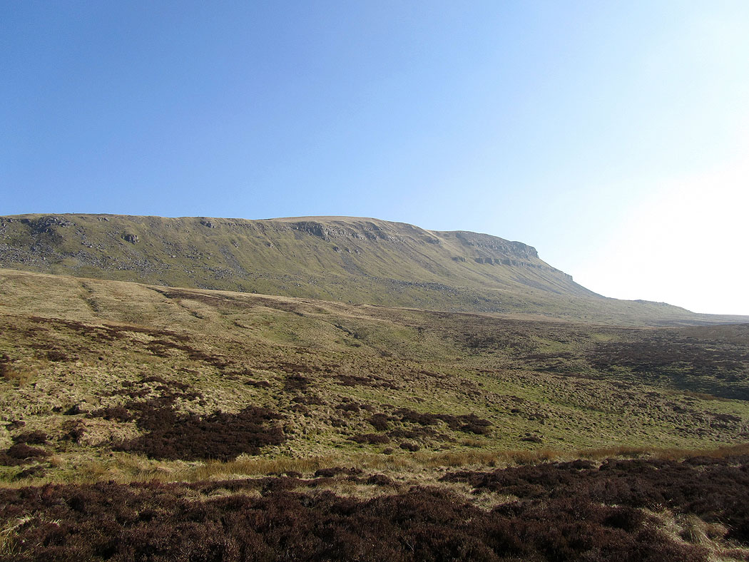
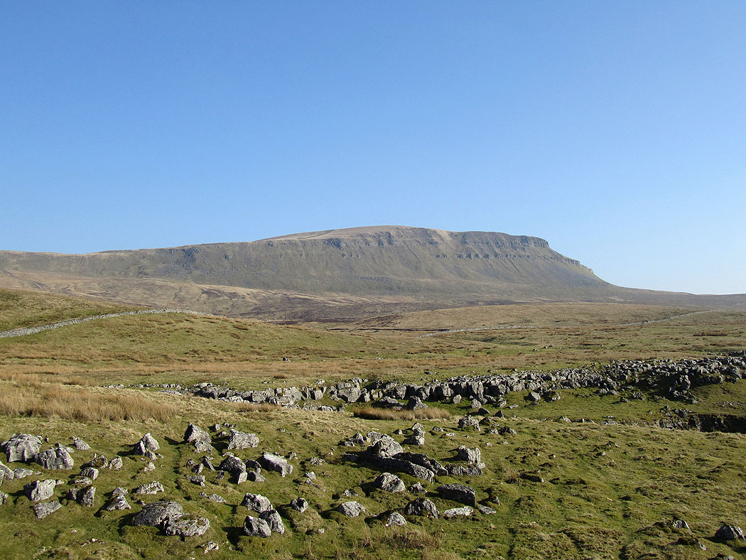
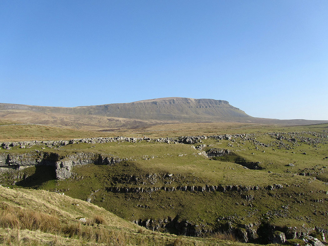
Penyghent above Horton Scar
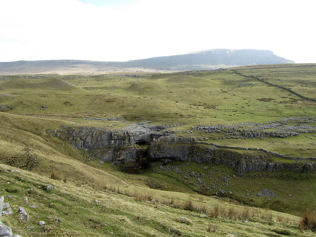
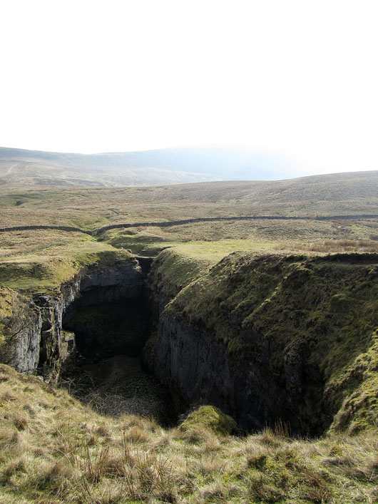
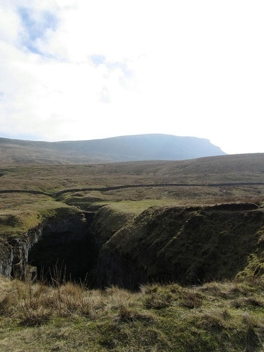
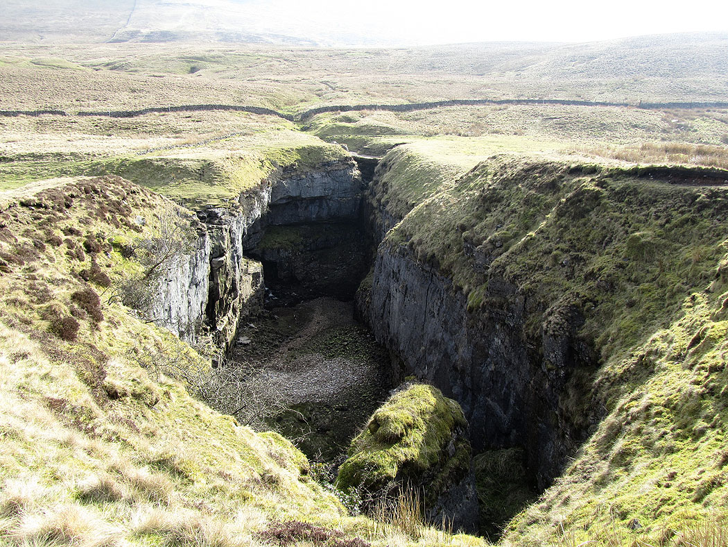
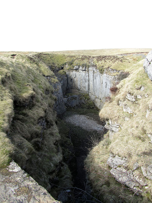
A short detour from my route to see the large hole in the ground that is Hull Pot....
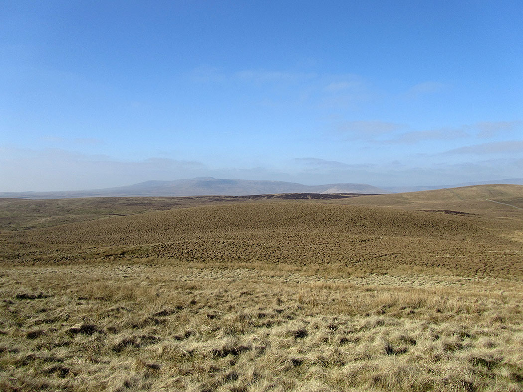
Ingleborough in the distance from the bridleway to Foxup moor..
The view to a distant Whernside from the top of the steep ascent of Plover Hill. The top section of this is now a pitched path. The last time I came this way in 2009 it was becoming muddy and eroded. It's much better now.
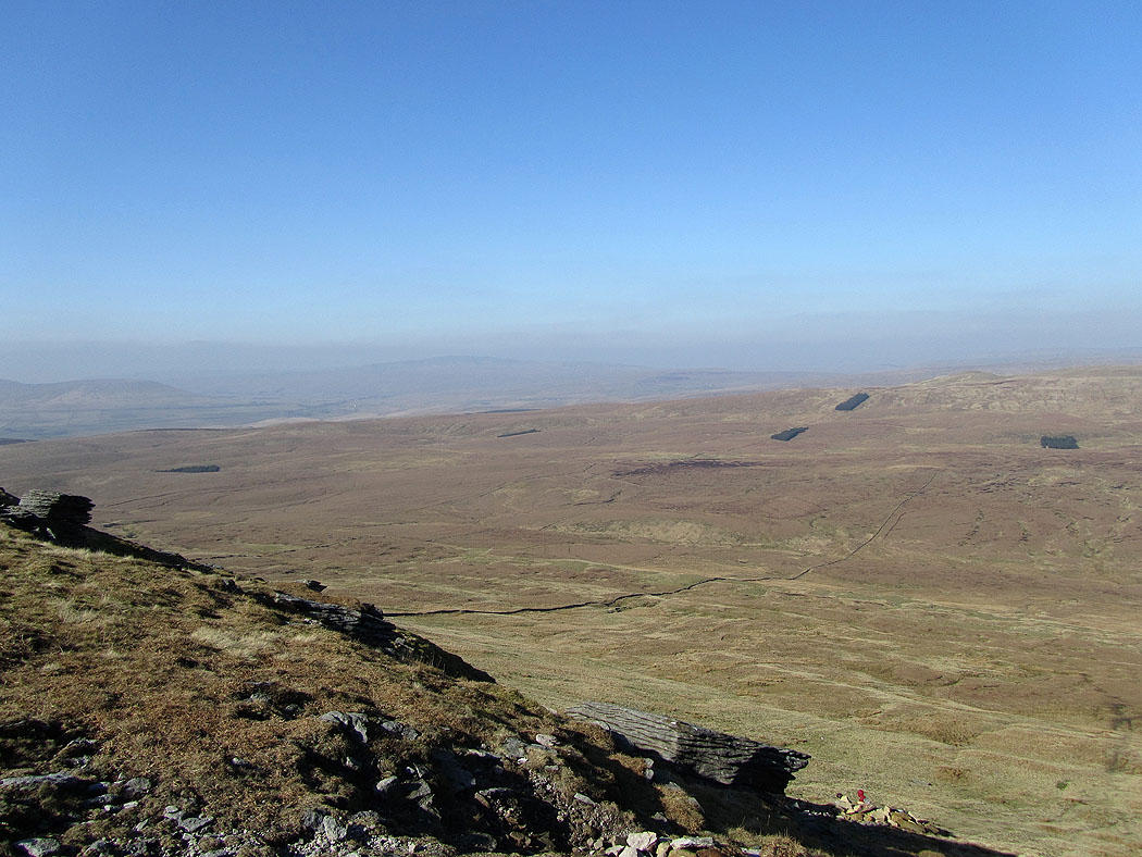
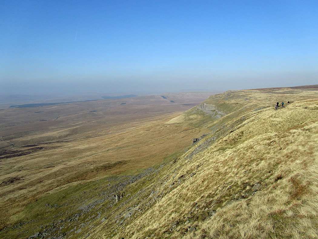
The head of the valley that can be seen below is Littondale
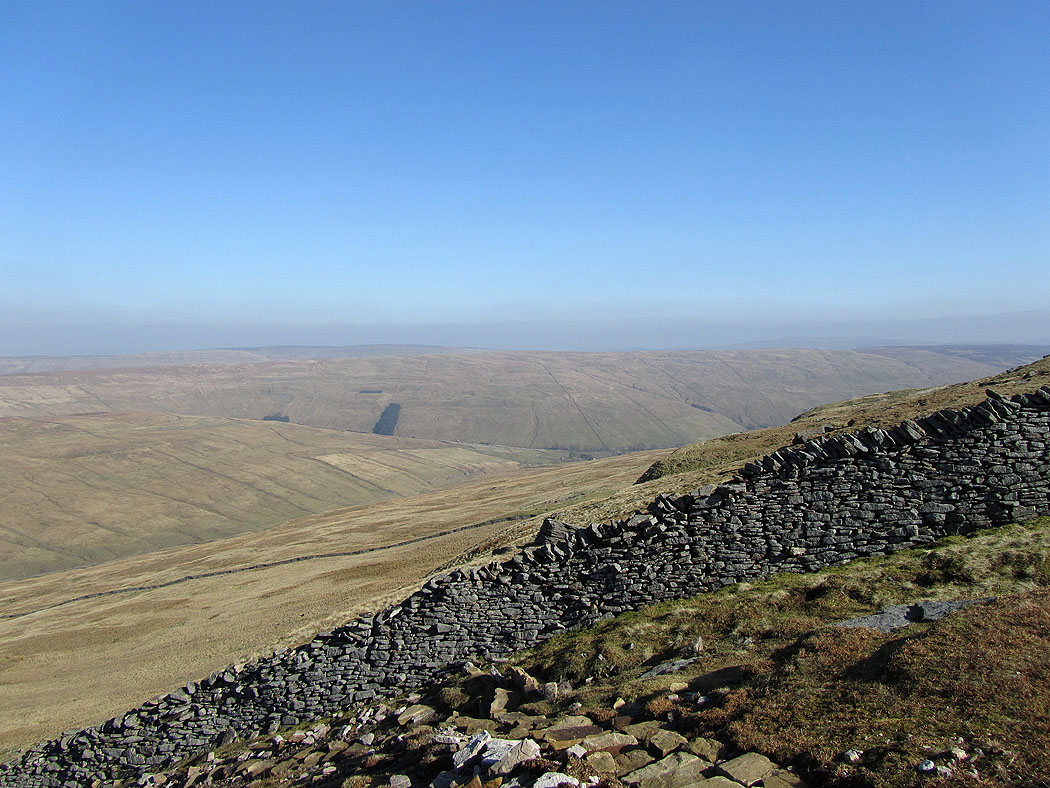
Darnbrook Fell and Fountains Fell from Penyghent
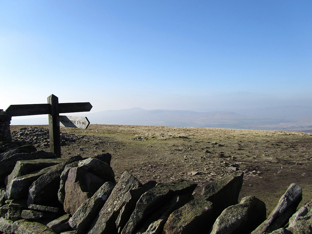
Ingleborough from Penyghent. Very hazy today, no long distance views.
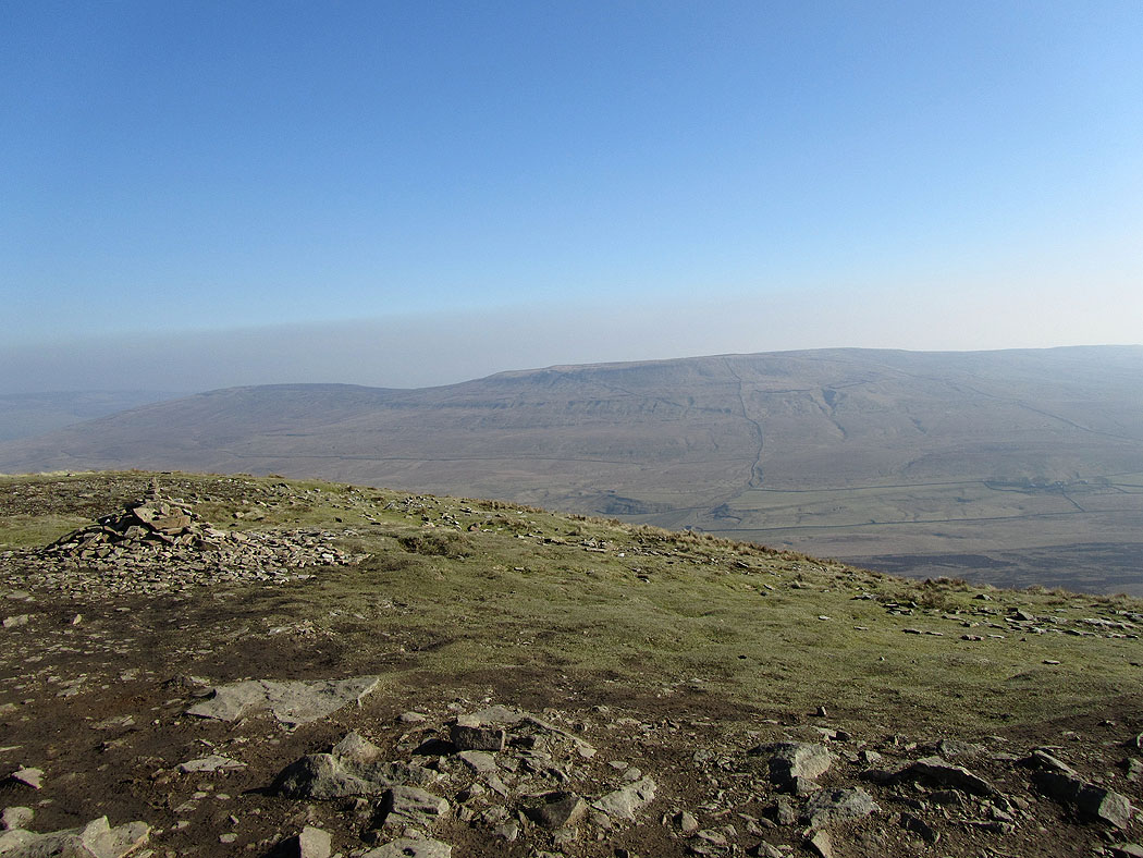
The western edge of the summit plateau of Penyghent
Penyghent
On the Pennine Way back to Horton-in-Ribblesdale
Looking back to Penyghent as I head down..
Penyghent above Horton Scar
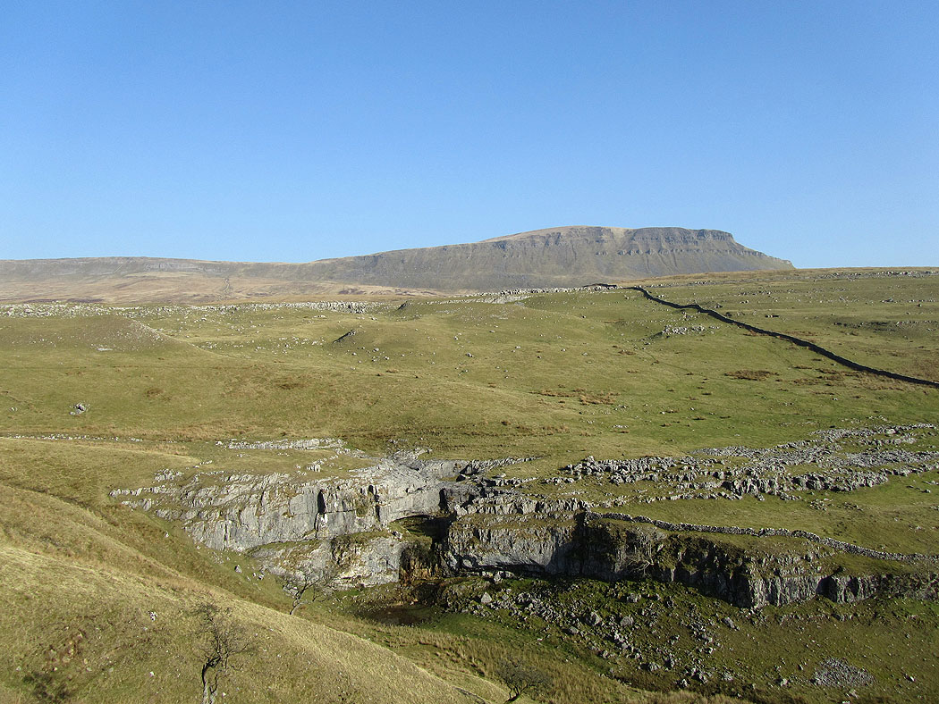
and again from just above Horton
