6th March 2016 - Ingleborough
Walk Details
Distance walked: 9.8 miles
Total ascent: 2150 ft
OS map used: OL2 - Yorkshire Dales, Southern & Western areas
Time taken: 6.5 hrs
Route description: Clapham-Clapdale Farm-Trow Gill-Little Ingleborough-Ingleborough-Simon Fell Breast-Long Scar-Long Lane-Clapham
After not really having any snow to speak of during "winter" it would appear that the approach of spring has prompted the weather to try and make up for it with the high hills getting a good covering. I fancied having a walk up Ingleborough, a hill that I seem to enjoy climbing when it's covered in the white stuff. Today means that three out of my last five visits have been in snow and those were done from Clapham, like today. It's a relatively safe route to do when there's snow and ice about, it being on mostly gentle gradients. It was a cold day but fortunately there were light winds all the way up to the summit so I managed to do without the need to wear my hat and gloves. Unfortunately there wasn't much in the way of sunshine but great visibility did mean that long distance views all the way to snow covered Lake District fells could be enjoyed.
I left Clapham by taking the track to Clapdale Farm signposted for Ingleborough. When I reached the farm I went through the farmyard and then down a path to the track that leaves the Ingleborough Hall estate bound for Ingleborough Cave. Past the cave I continued on the path up Trow Gill. Once out of Trow Gill I crossed the moorland to climb Ingleborough via Little Ingleborough. My route back was down Swine Tail and onto the path across Simon Fell Breast for Horton. I left this when I reached the limestone pavement of Sulber to head for Long Scar. I then made my way down the track of Long Lane back to Clapham.
Route map
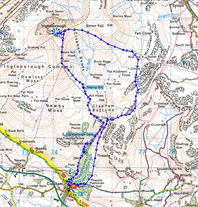
© Crown copyright. All rights reserved. License number PU 100034184.
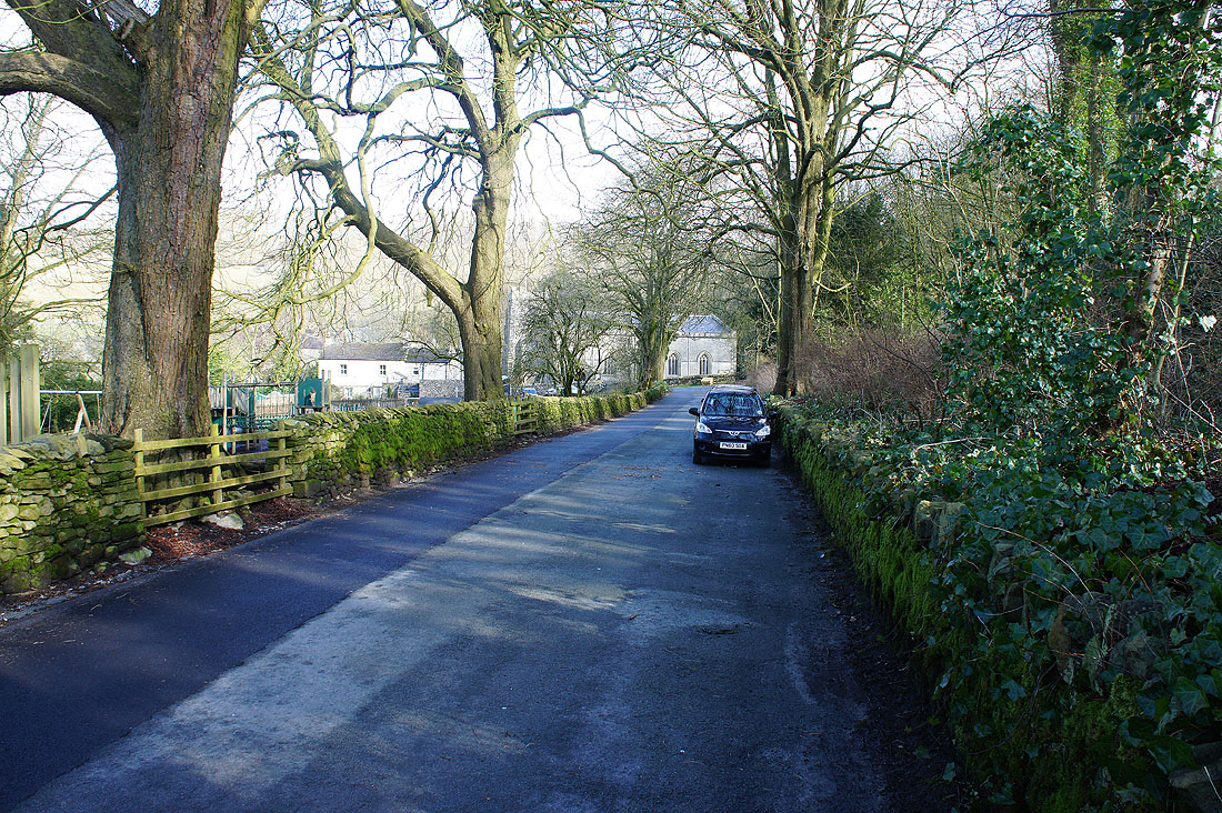
Setting off from Clapham
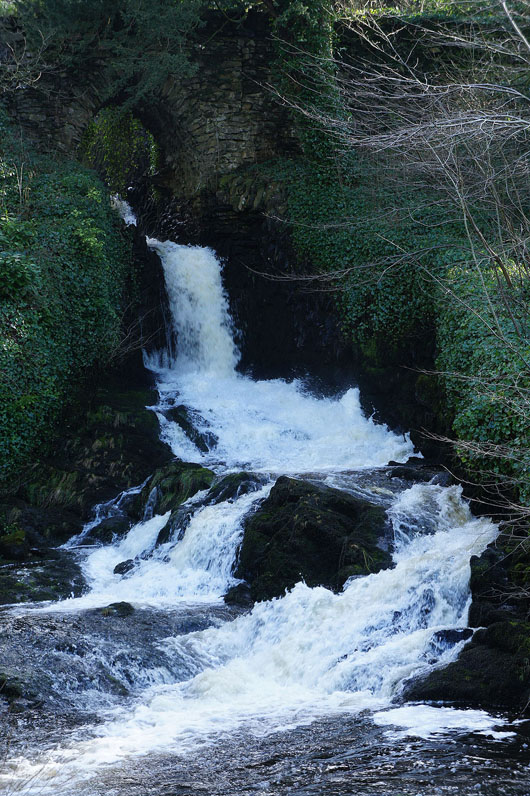
Clapham Beck
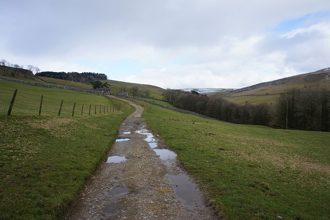
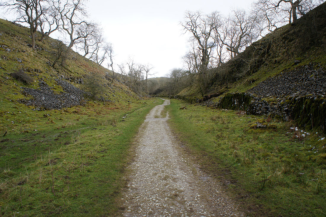
On the track to Clapdale Farm
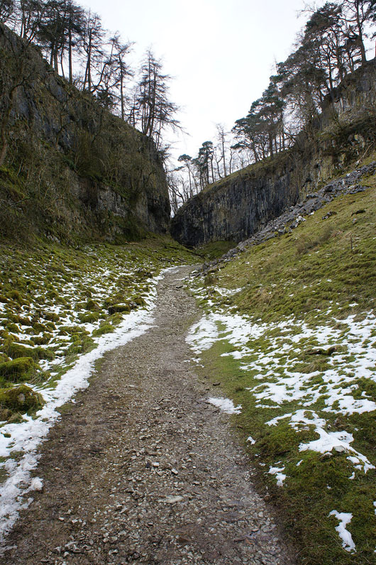
Past Ingleborough Cave and I'm making my way up Trow Gill..
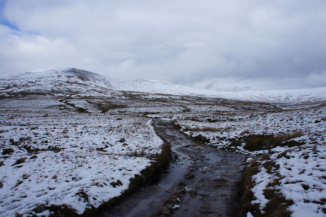
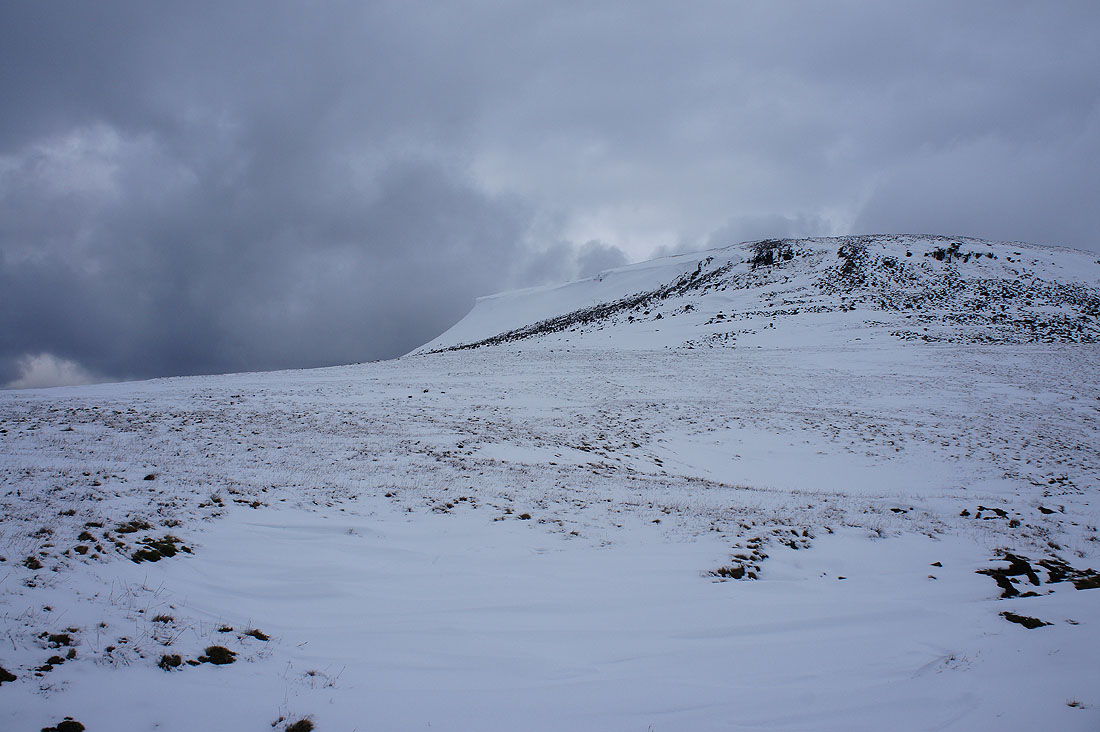
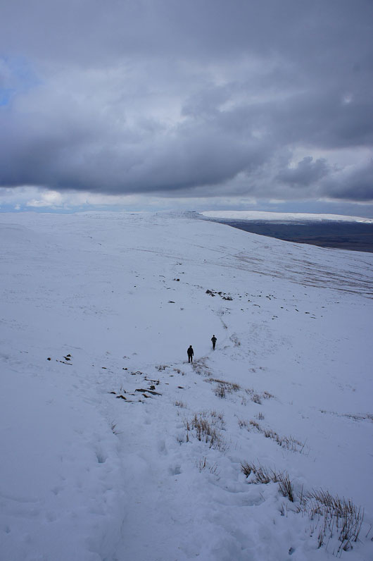
Out of Trow Gill and now I can see Ingleborough. I'm pleased that its top is clear of cloud.
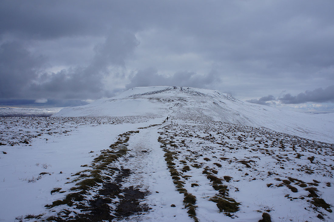
On Little Ingleborough and the summit plateau is in sight
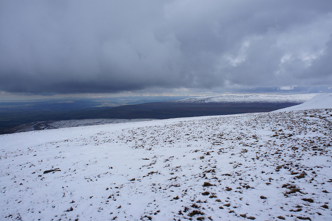
The distant view to the northwest includes snow-capped Lake District fells
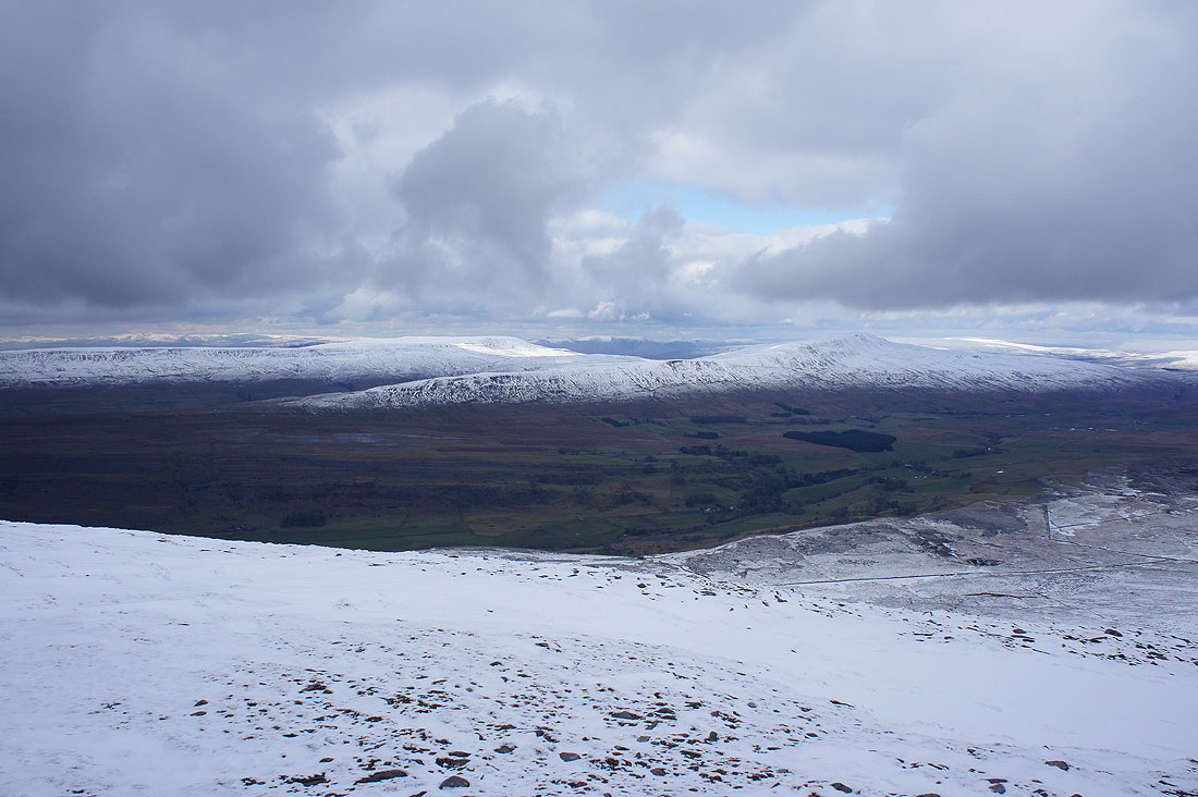
Simon Fell to the northeast
Penyghent and Fountains Fells to the east. The lack of sunshine doesn't help with making them out.
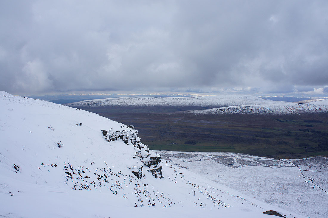
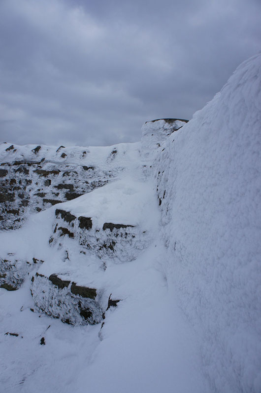
There's a bit of a cornice on the western side of the plateau. It can't be helping if you're doing the ascent from Ingleton.
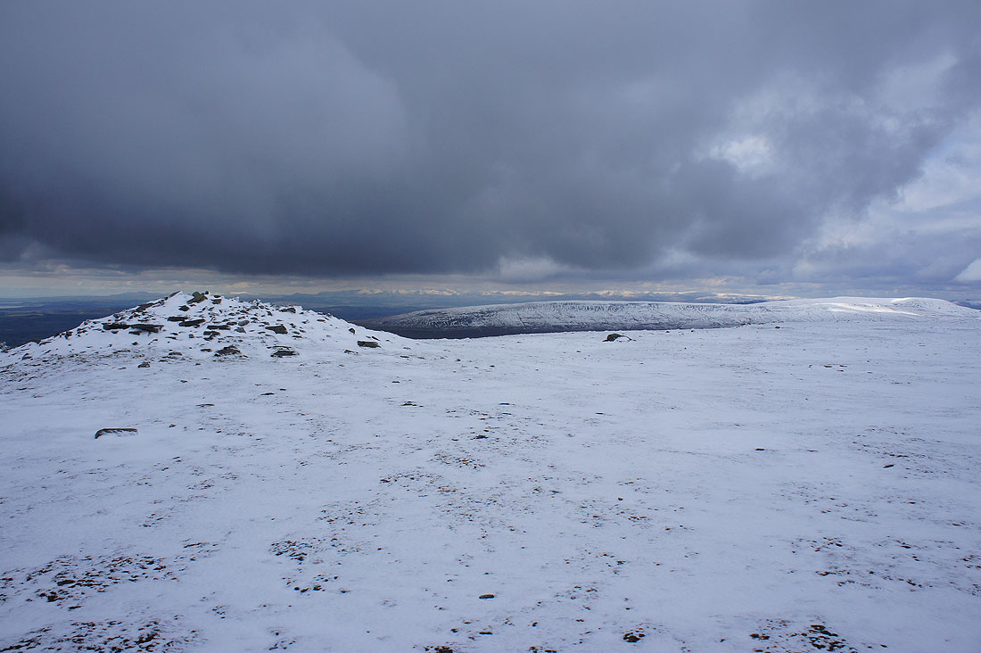
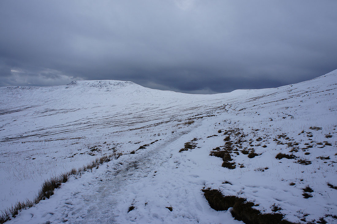
Looking back to Little Ingleborough as I approach the summit
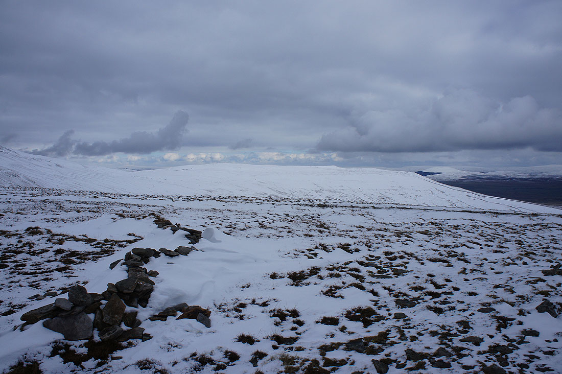
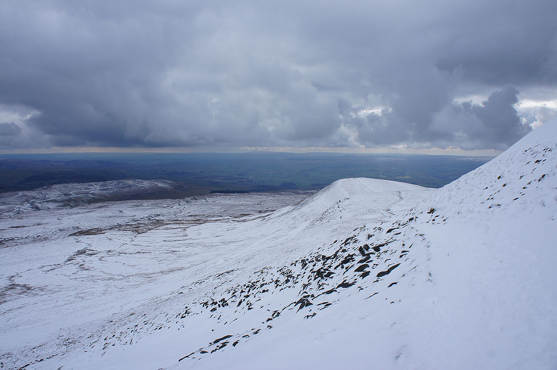
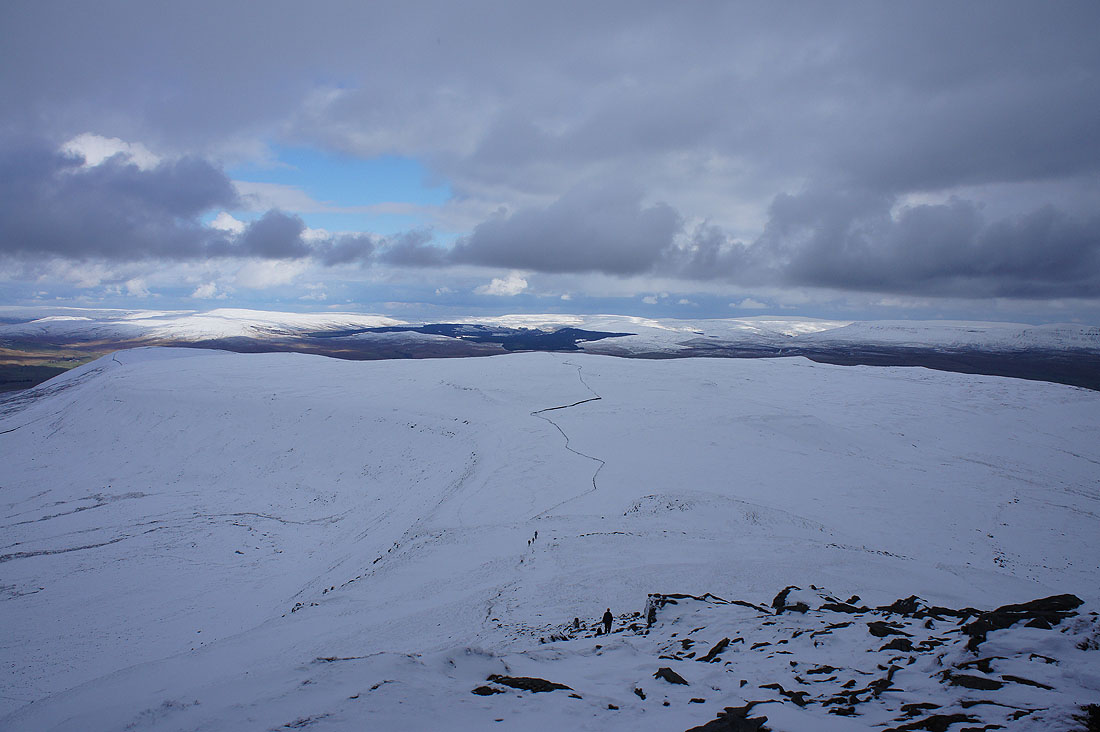
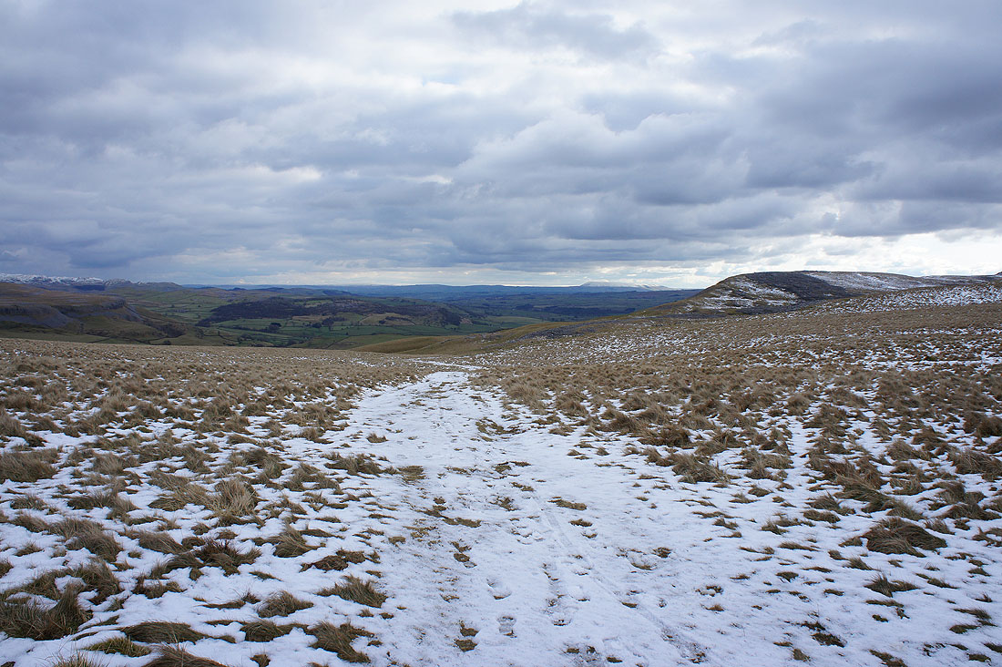
The broad top of Simon Fell
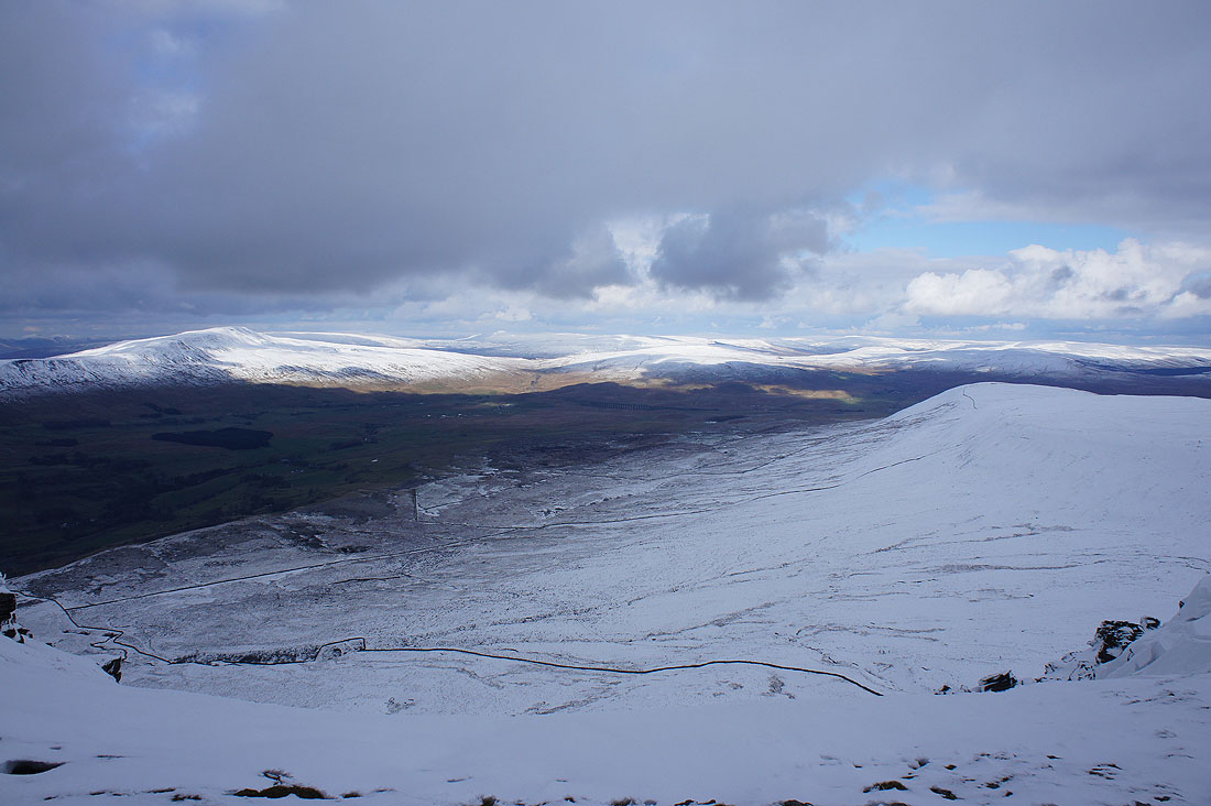
Whernside, Ribblehead and Blea Moor as I walk along the northern edge of plateau
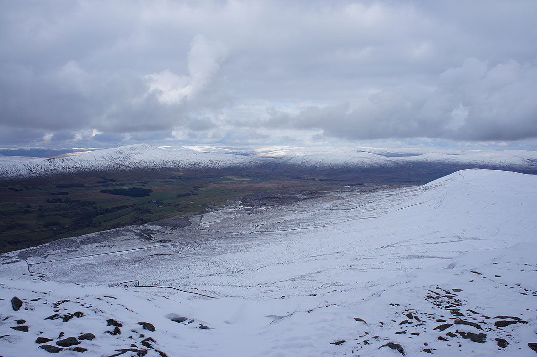
Looking across Chapel-le-Dale to Gragareth, Great Coum and the south ridge of Whernside
An ice encrusted shelter. There weren't many places to sit.
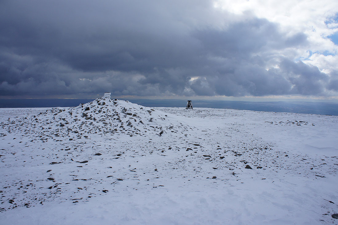
The summit cairn and trig-point
A great view to the northwest with the Lake District fells on the skyline
Morecambe Bay to the west
Great Coum and Whernside with the Howgills in the gap between them
A bit of sunshine improves the view to the north. As well as Whernside, I can make out the fells around Mallerstang and Great Knoutberry Hill.
Dodd Fell Hill and Yockenthwaite Moor in the distance to the northeast
|
|
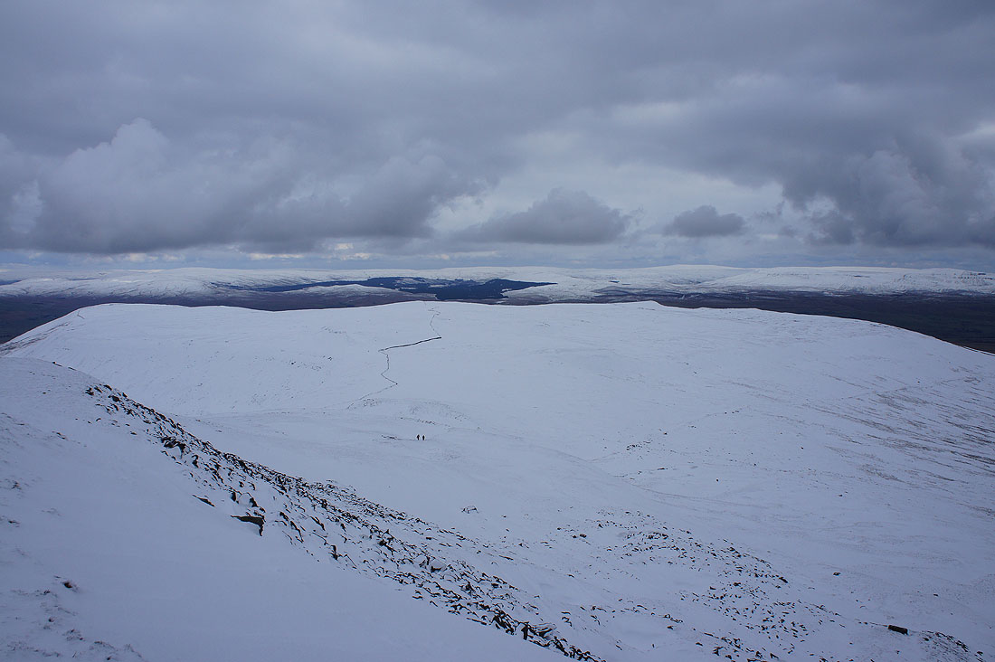
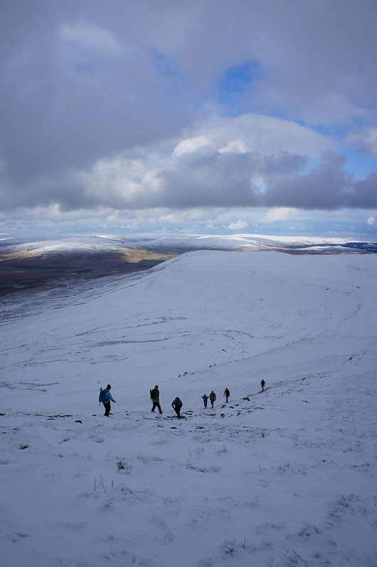
Heading down Swine Tail and then onto the path across Simon Fell Breast
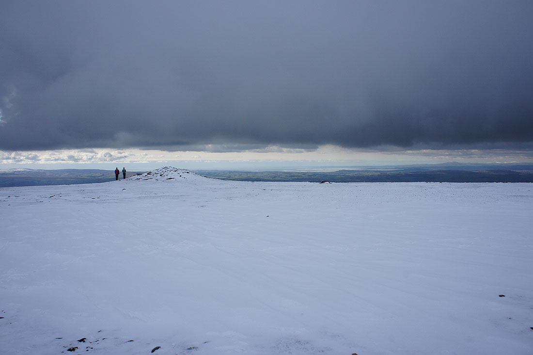
Looking back to the summit
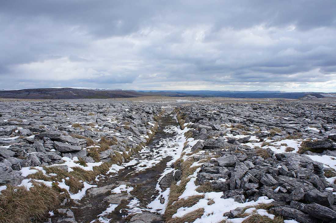
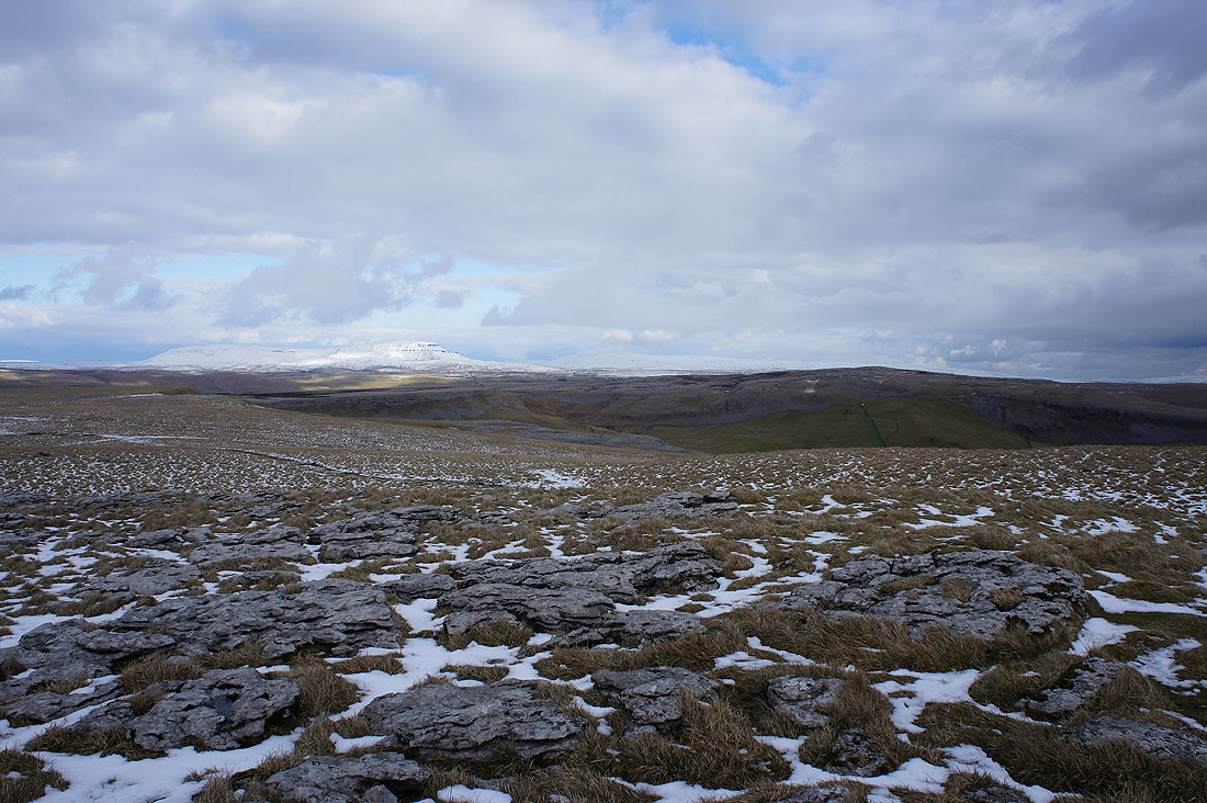
I've left the path to Horton for the one to Long Scar and fortunately there's a path to follow through the limestone pavement
Ingleborough and Simon Fell
Approaching Long Scar and I can make out Pendle Hill in the distance
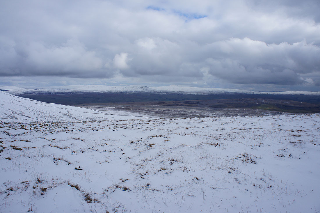
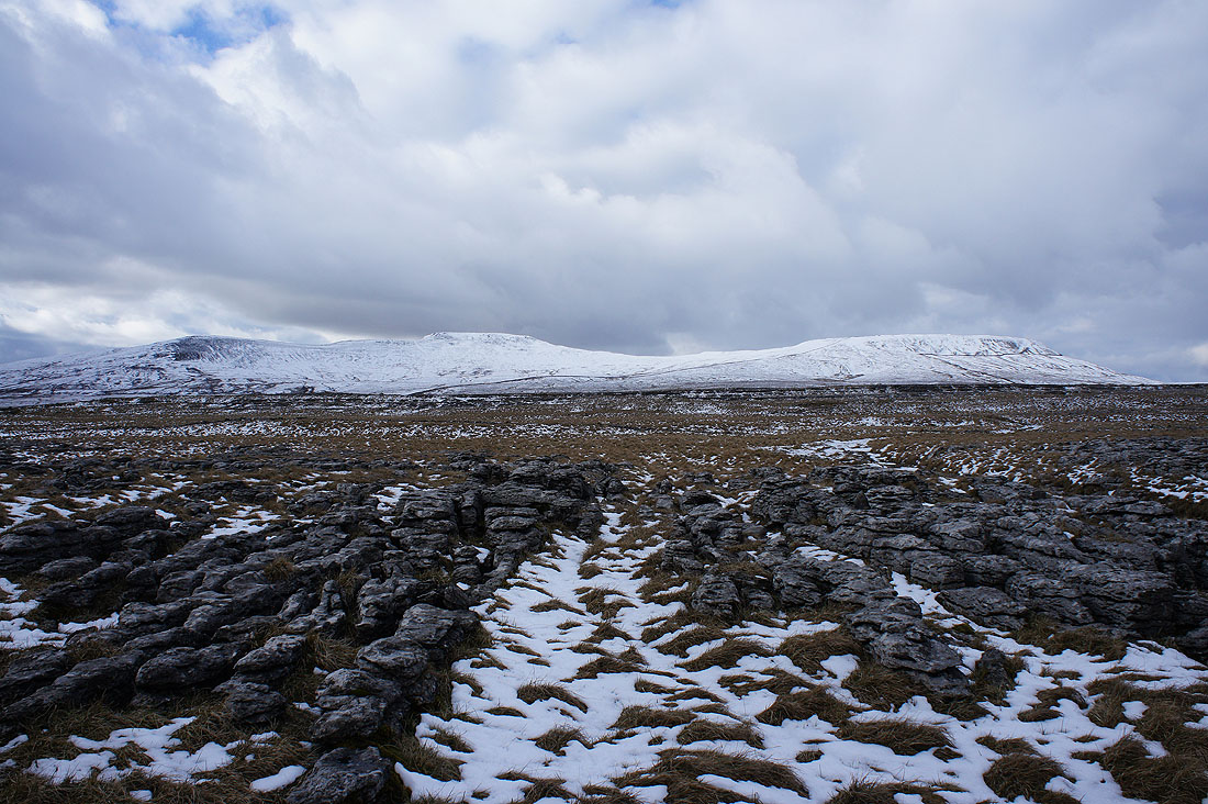
Sunshine on Penyghent and Moughton on the other side of Crummack Dale
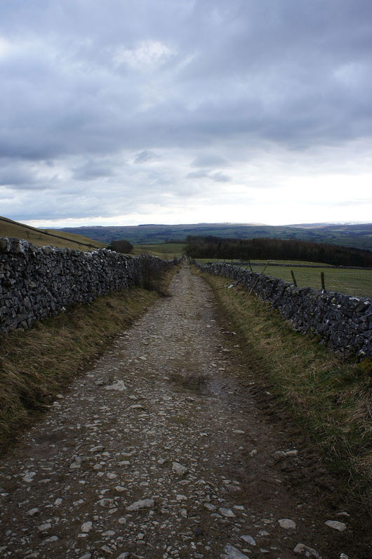
Down the track of Long Lane back to Clapham