6th November 2011 - Ingleborough
Walk Details
Distance walked: 10.5 miles
Total ascent: 2366 ft
OS map used: OL2 - Yorkshire Dales, Southern & Western areas
Time taken: 6.5 hrs
Route description: Clapham-Clapdale-Trow Gill-Gaping Gill-Little Ingleborough-Ingleborough-White Scars-Crina Bottom-Slatenber-Old Road-Clapham
A walk up Ingleborough from Clapham. My route up went via Trow Gill and Little Ingleborough with the return by Crina Bottom and the Old Road back to Clapham. I made a detour on the way down onto the limestone pavement of White Scars.
Route map
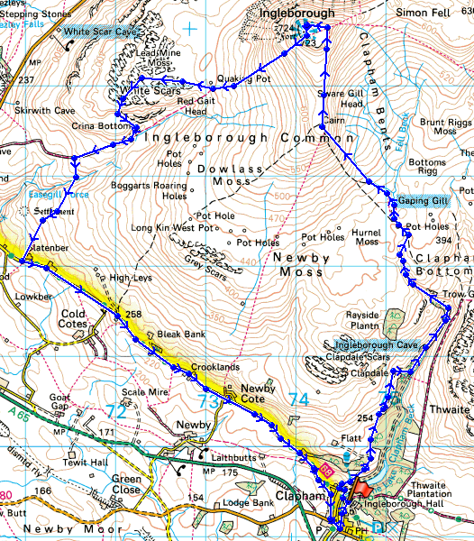
© Crown copyright. All rights reserved. License number PU 100034184.
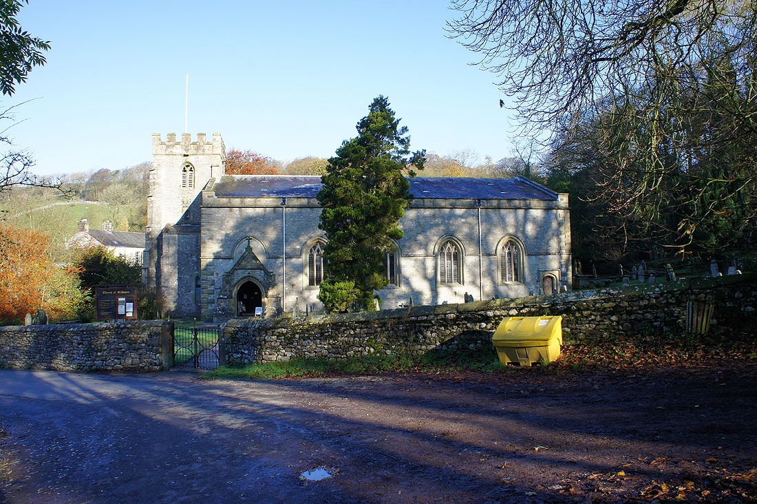
St. James', Clapham
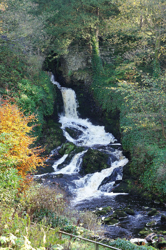
Falls on Clapham Beck
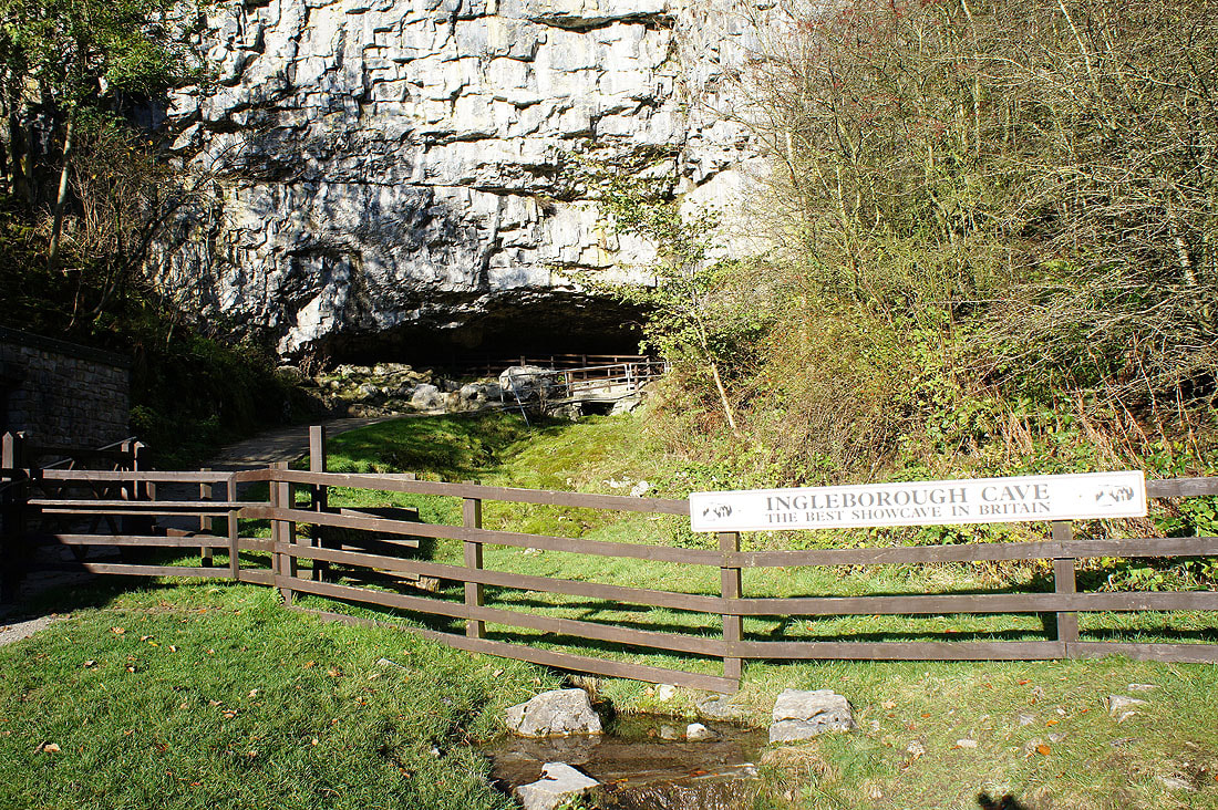
Ingleborough Cave
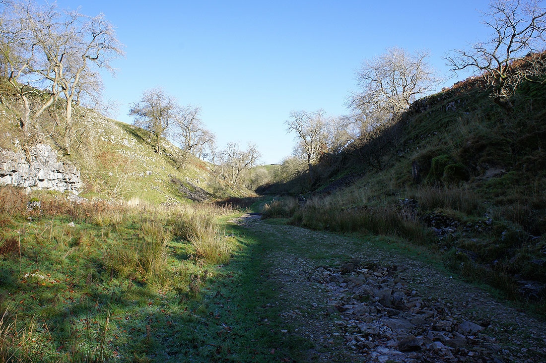
Heading up Trow Gill
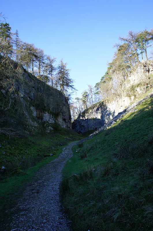
Near the top
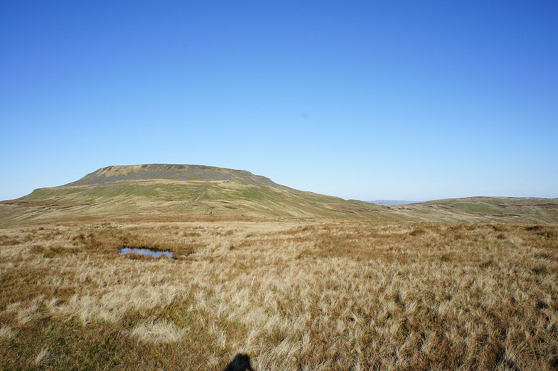
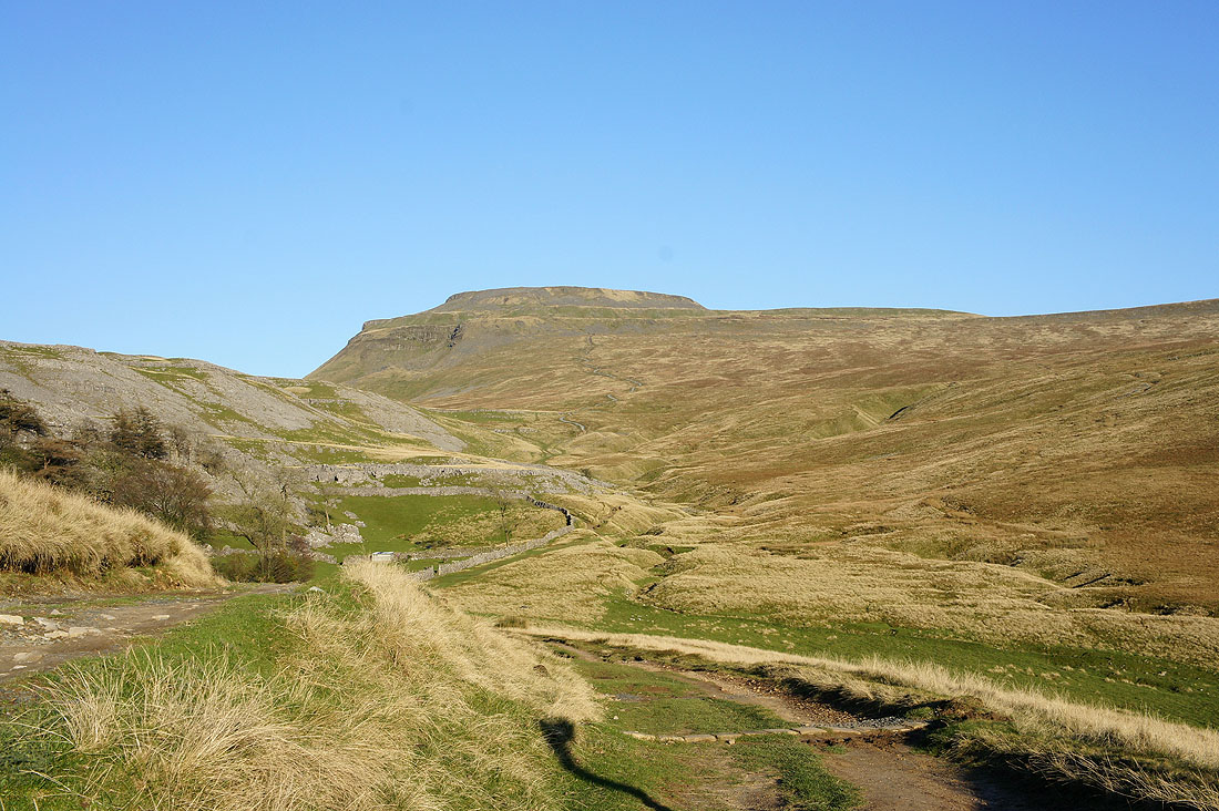
First sight of Ingleborough ahead

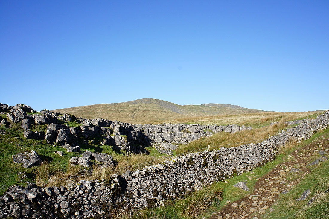
The entrance to Gaping Gill
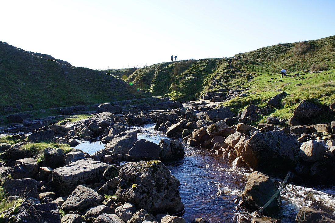
and the stream that flows into it
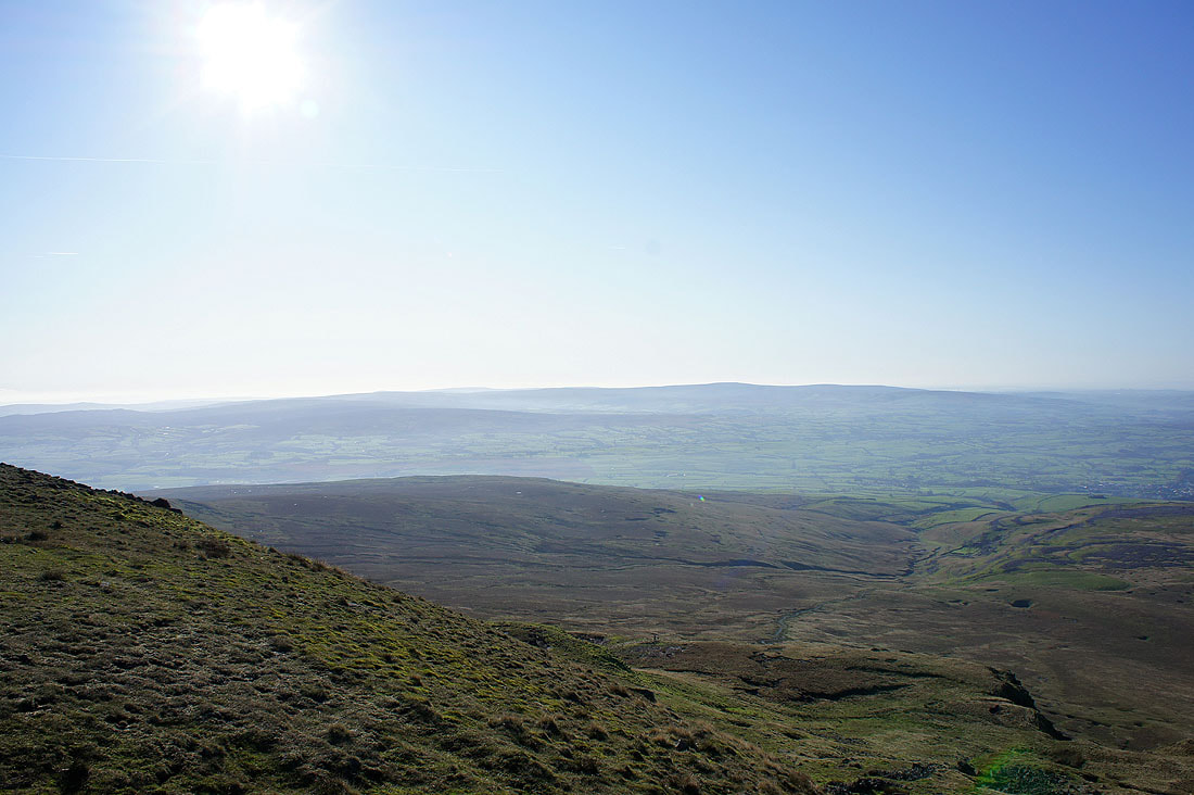
On Little Ingleborough. Pendle Hill to the south.
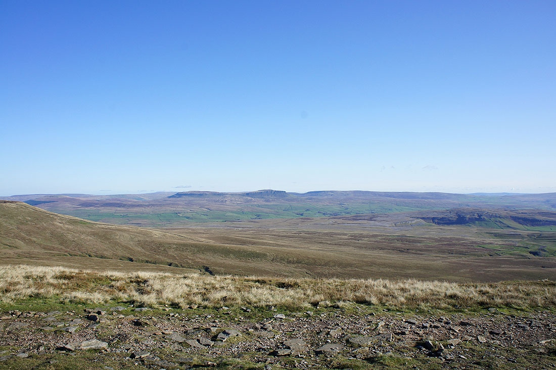
Penyghent
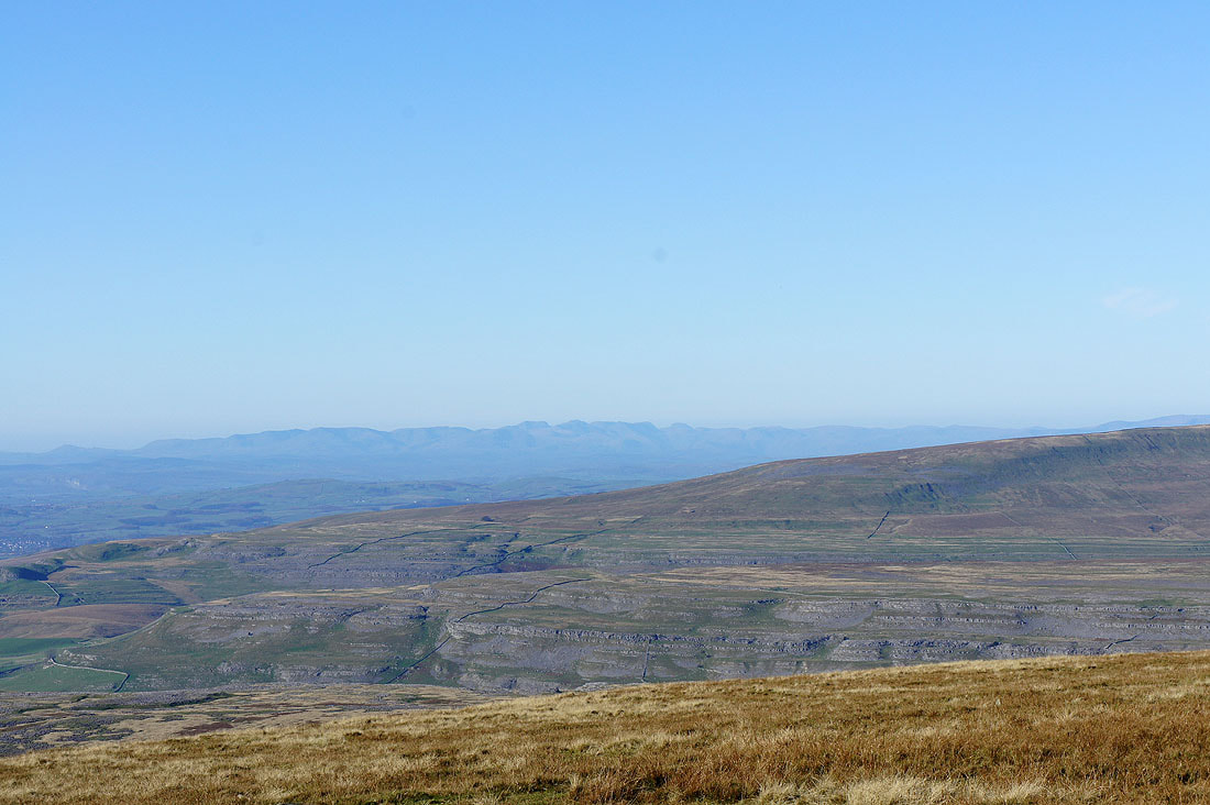
The Lake District fells in the distance behind the ridge of Gragareth
Zooming in
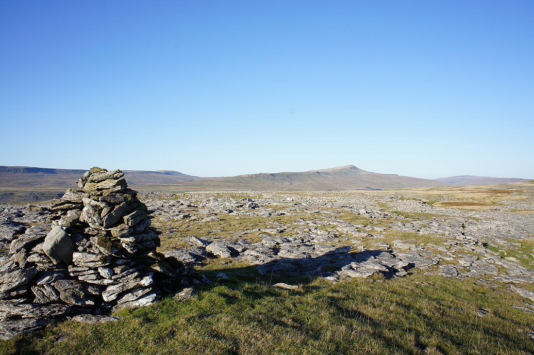
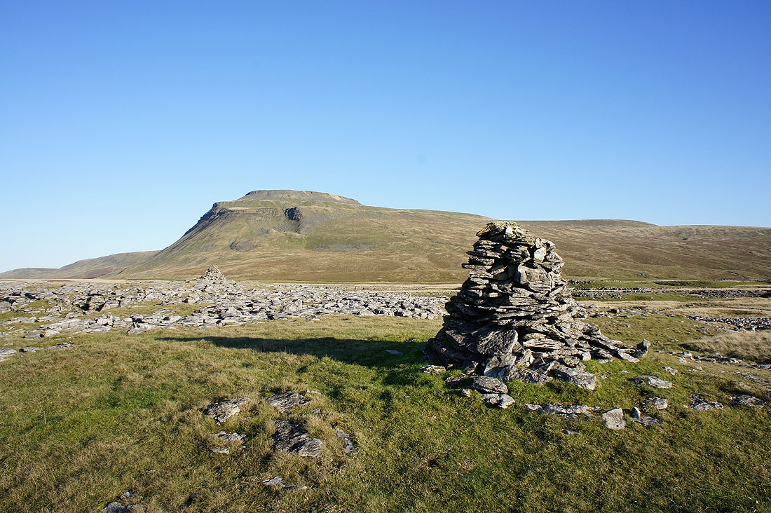
Ingleborough
Forest of Bowland
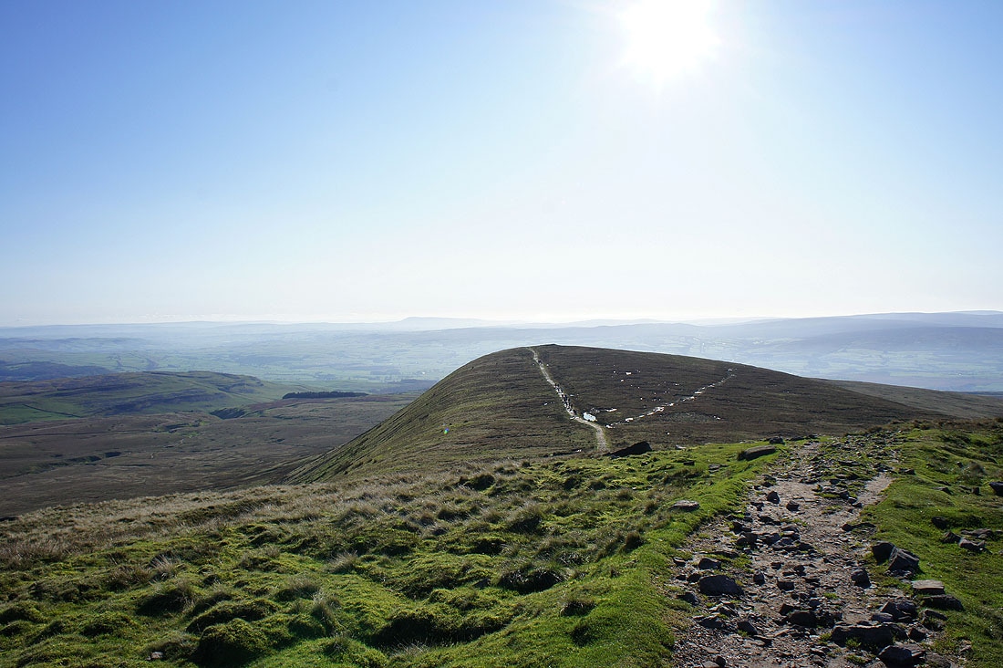
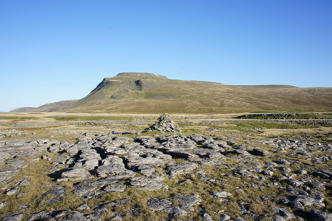
Little Ingleborough from the ascent of Ingleborough
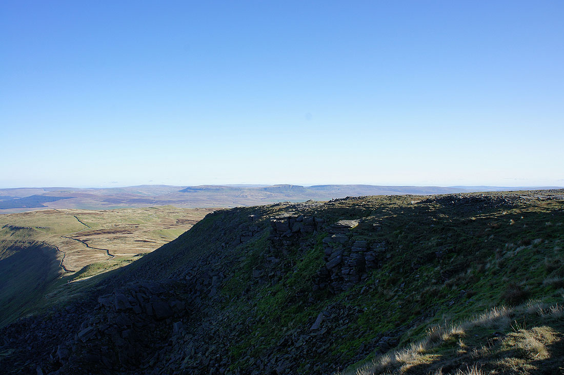
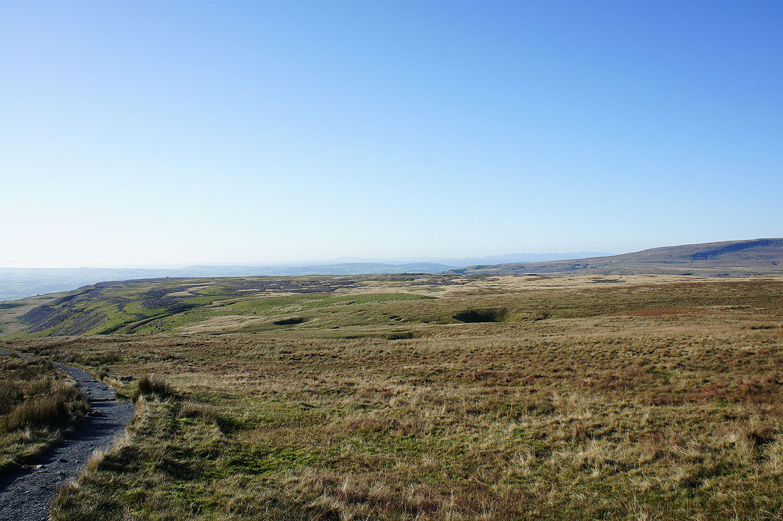
Great Coum and Whernside as I make my way round the summit plateau
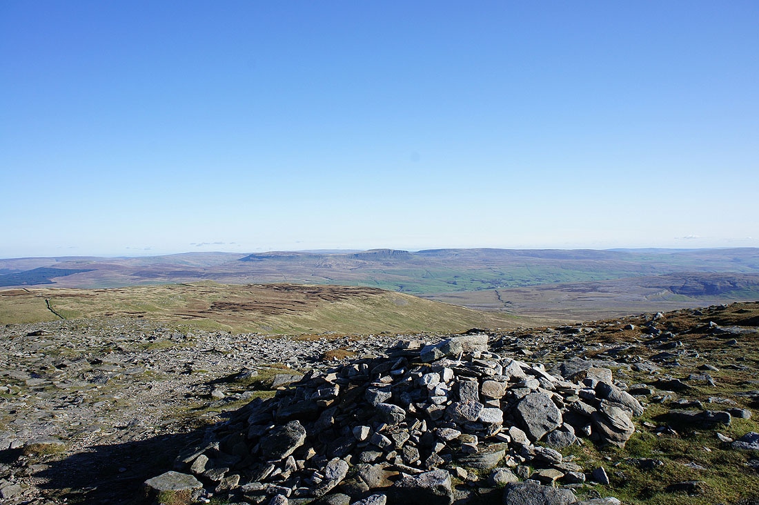
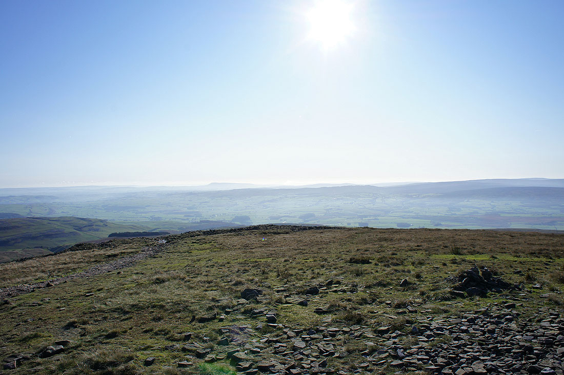
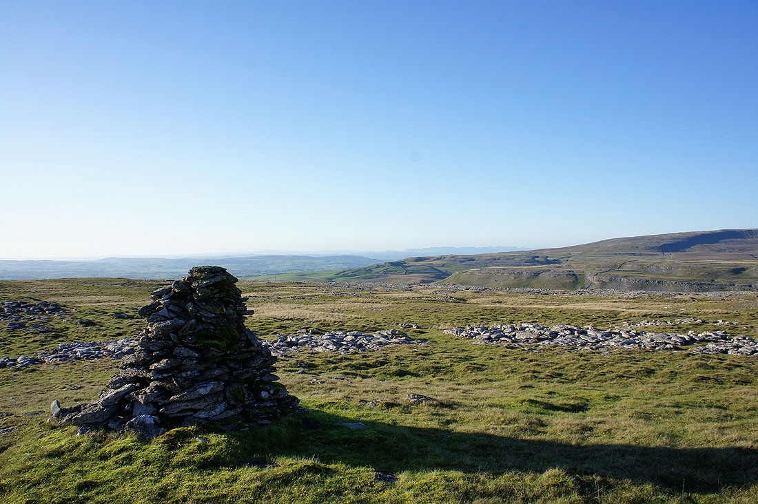
Penyghent
Gragareth and Great Coum
Penyghent

Great Coum and Whernside with the Howgills in the gap between them
Gragareth and Great Coum with the Lakeland fells in the distance behind
The Forest of Bowland
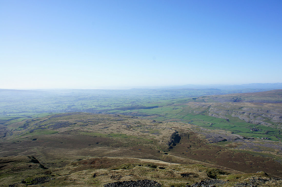
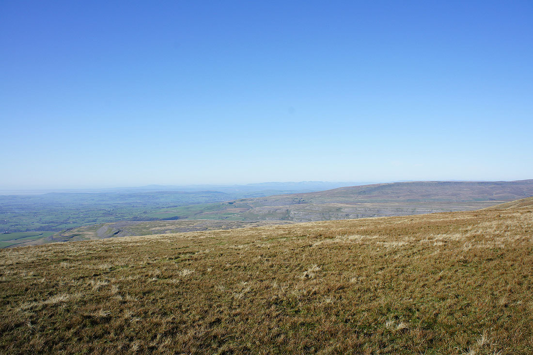
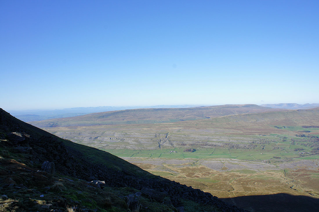
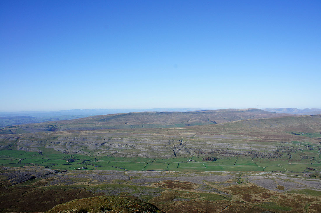
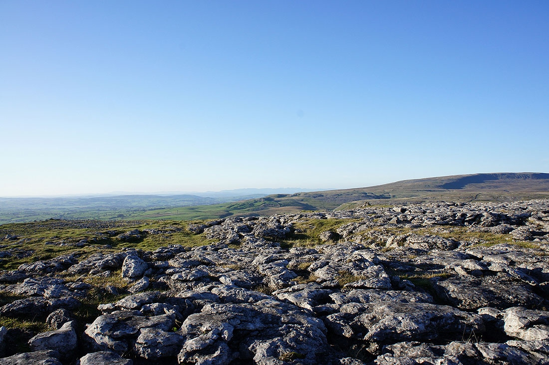
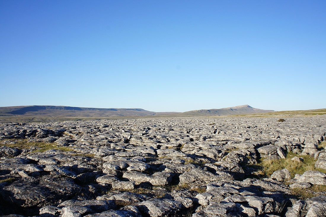
The view down over White Scars
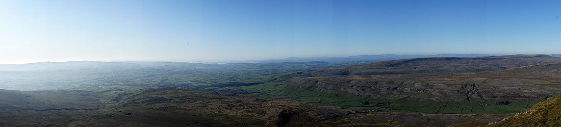
Panorama from the Forest of Bowland round to Great Coum
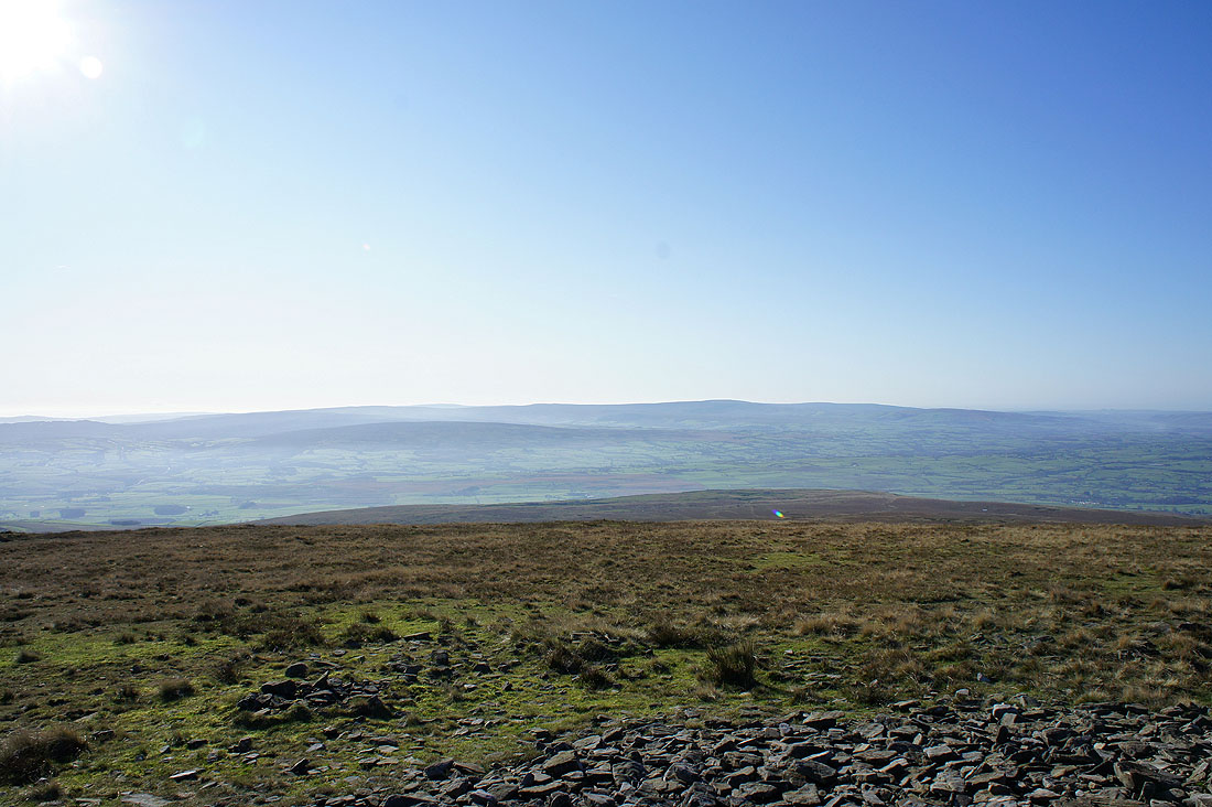
Pendle Hill in the distance
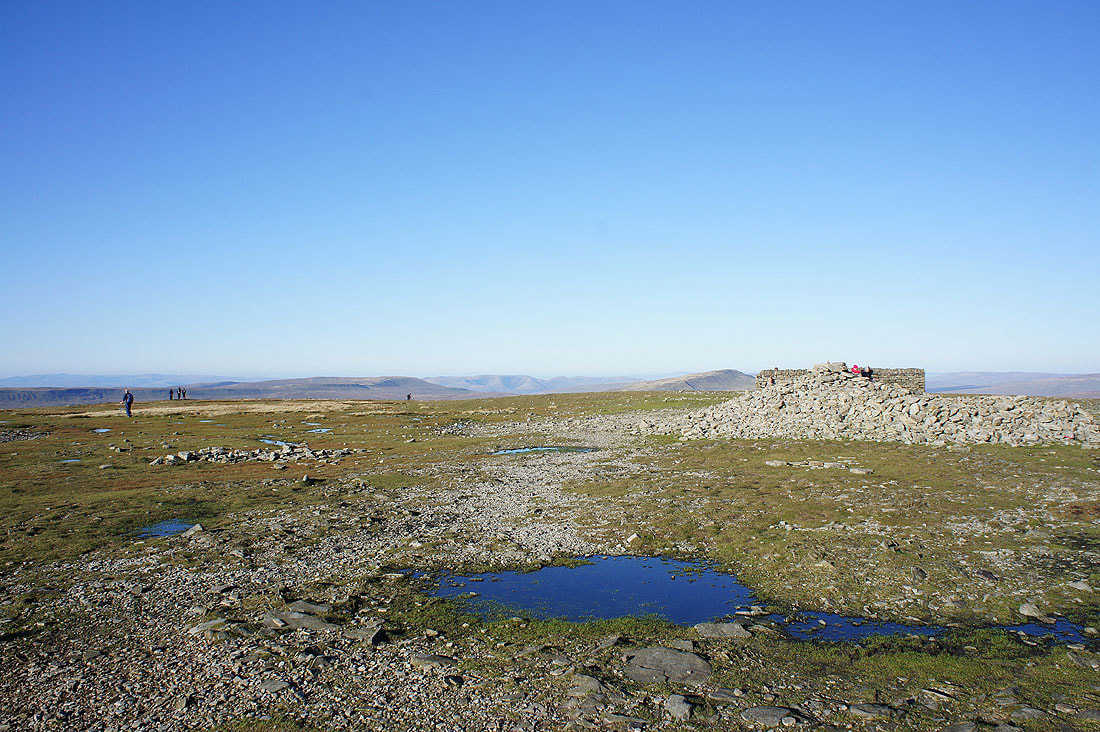
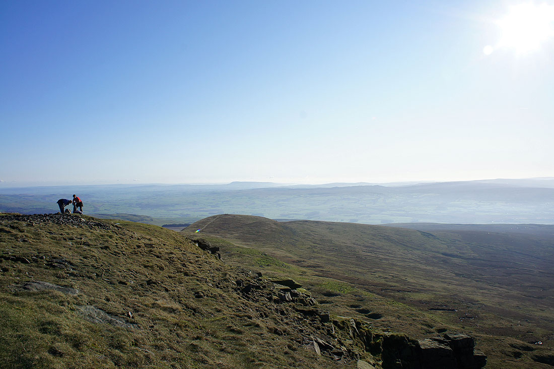
Ingleborough summit
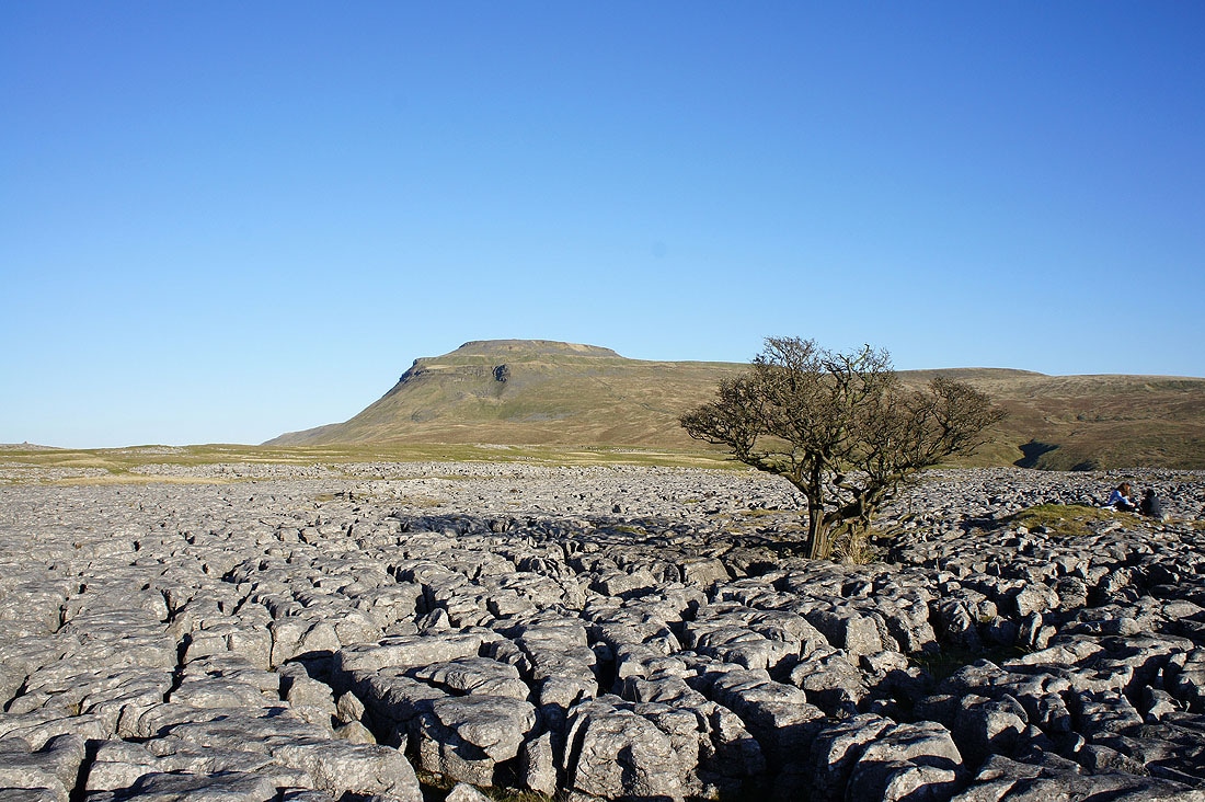
Heading down to Crina Bottom, the limestone pavement of White Scars ahead
Views from the limestone pavement of White Scars. Ingleborough.
Whernside
Some of the Lakeland fells visible beyond the end of the ridge of Gragareth
Gragareth and Whernside
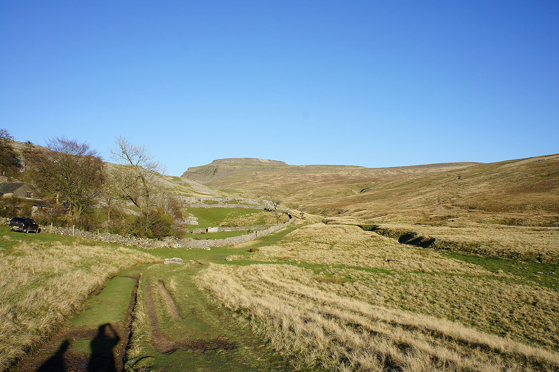
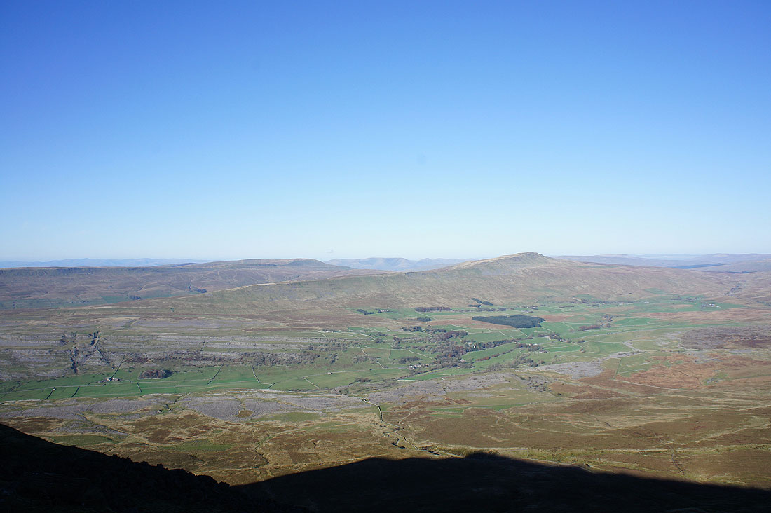
Ingleborough from Crina Bottom..
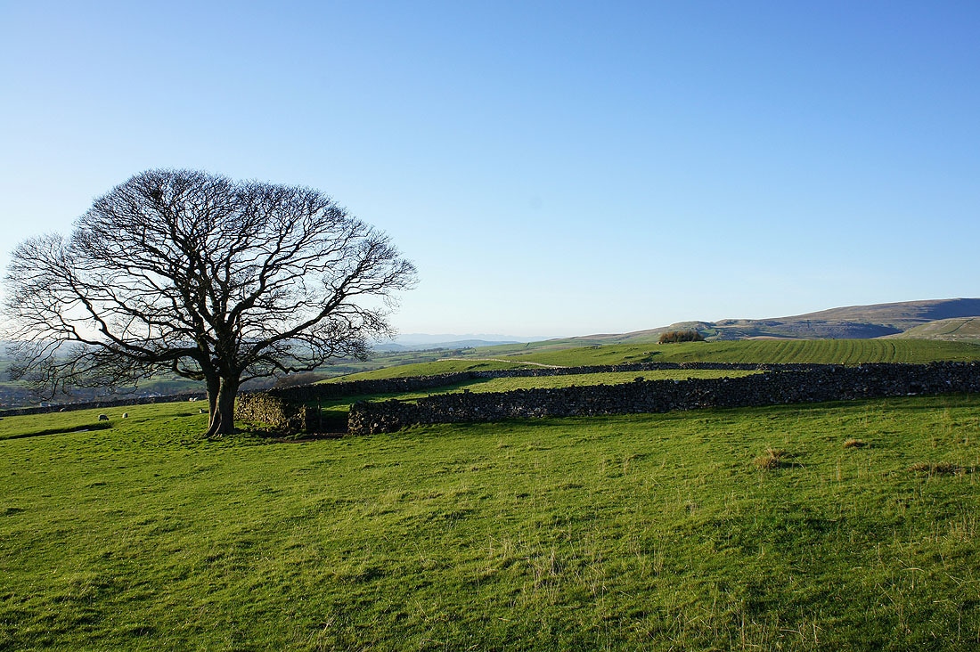
Heading down through fields to join the Old Road back to Clapham..
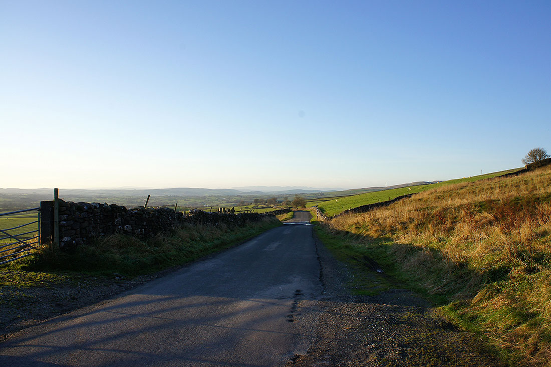
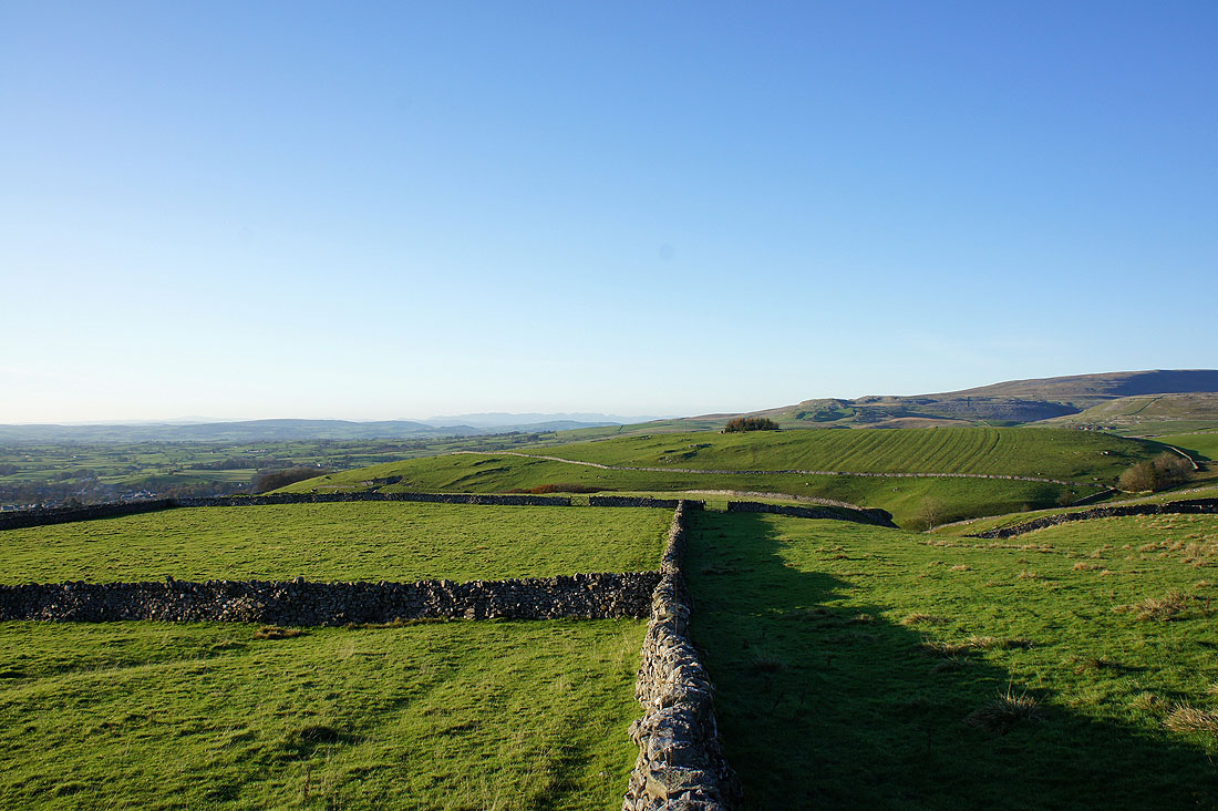
A look back on the road to Clapham
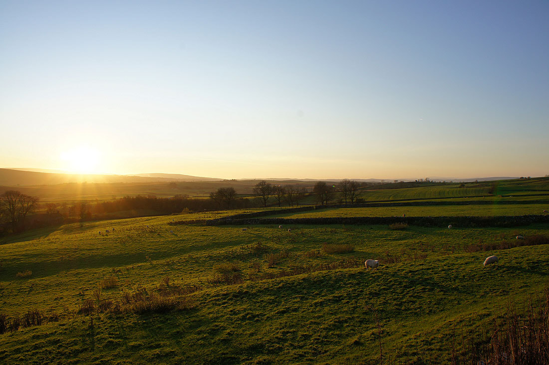
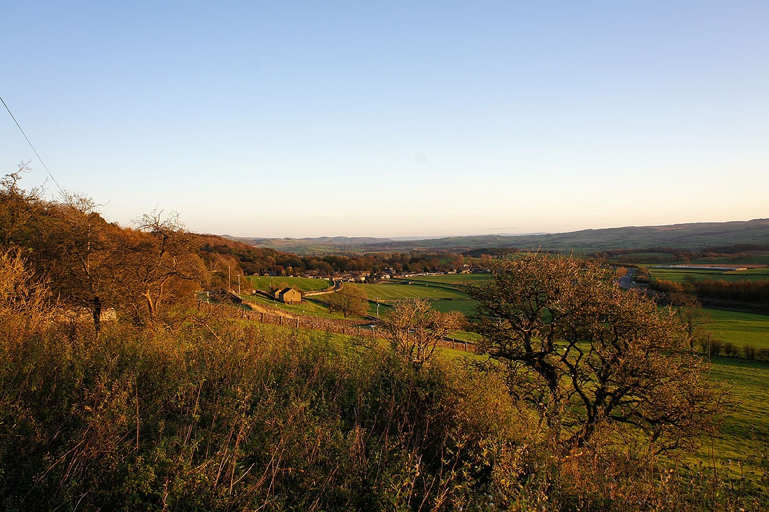
Clapham beckons