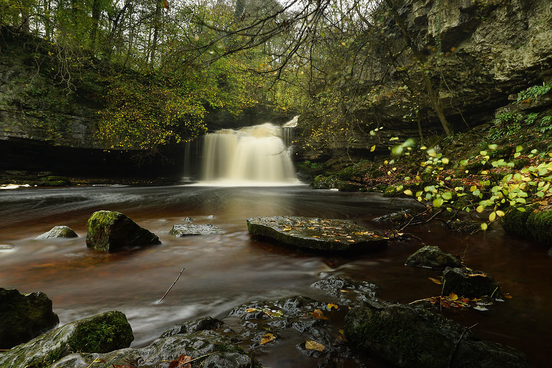
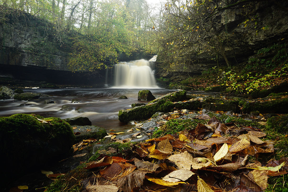
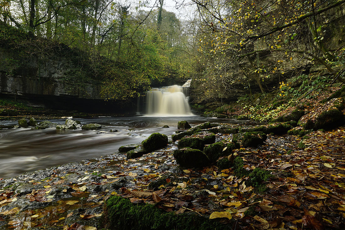
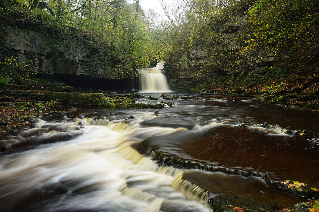
6th November 2022 - Cauldron Falls and Aysgarth Falls
Walk Details
Distance walked: 10.1 miles
Total ascent: 1482 ft
OS map used: OL30 - Yorkshire Dales, Northern & Central areas
Time taken: 6 hrs
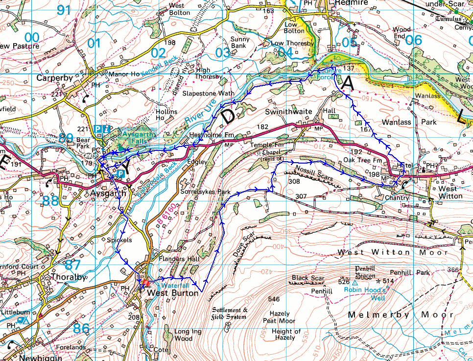
Route description: West Burton-Cauldron Falls-Morpeth Scar-Morpeth Gate-High Lane-Langthwaite Lane-Chantry Bank-West Witton-Redmire Force-Hestholme Bridge-St. Andrew's Church, Aysgarth-Aysgarth Falls-St. Andrew's Church, Aysgarth-A684-Eshington Lane-B6160-West Burton
More waterfalls feature in my walk this weekend. This time I've made my way to the eastern part of the Dales to visit three waterfalls; Cauldron Falls, Redmire Force, and Aysgarth Falls, that are in Wensleydale and within walking distance of each other. I've been to Cauldron Falls before, it's right next to West Burton, and I've started walks or walked through that village on a few previous occasions, but Redmire Force and Aysgarth Falls were both new to me. I was also hoping that I might get the best of the weather over in that part of the Dales with a southwesterly wind blowing. It actually turned out to be a nice day, and I think I got lucky with the way that the cloud had broke up around the area I was in to allow quite a bit of autumnal sunshine. Only on the final section from Aysgarth Falls back to West Burton did it cloud over and a bit of rain passed through.
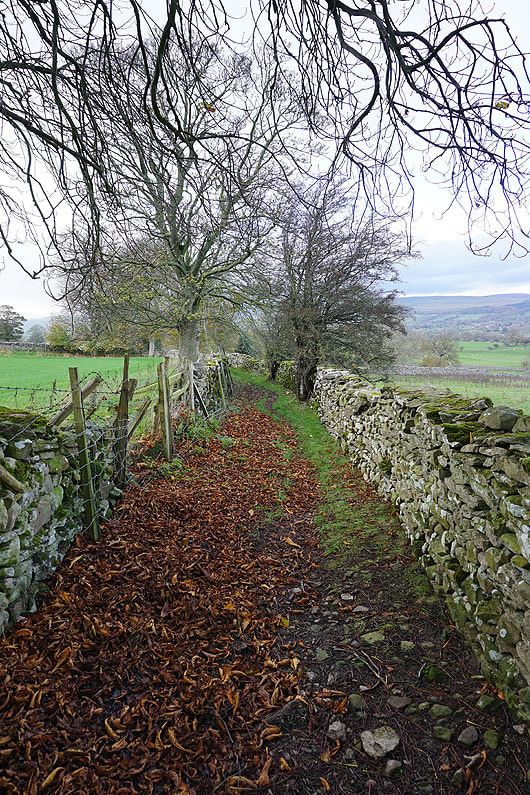
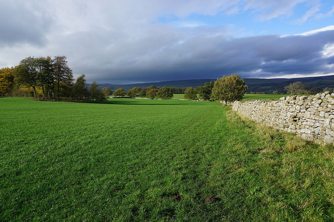
From where I parked in West Burton I walked down through the village and onto the footpath to Cauldron Falls. After spending some time there taking photos, I resumed the walk by crossing the bridge over Walden Beck, then by taking a footpath up through fields and a wood to reach the open moor on Knarlton Knott. I then made my way north along a footpath and then track to Morpeth Scar, where I joined the track of High Lane to reach another track on the left. I took this and followed it north to a footpath on the right signposted for West Witton, which I then made my way along to the road of Chantry Bank for a walk down into the village of West Witton. After crossing the A684 I briefly walked east through the village until I reached a public footpath sign for Oak Tree Farm, which I took down through fields to a track and bridleway, which I followed down through fields to woodland above the south bank of the River Ure. From here I took a footpath west past Redmire Force and through fields above the River Ure to Hestholme Bridge on the A684, which I crossed to take a footpath from the entrance to Hestholme Farm through fields and woodland by the River Ure to St. Andrew's Church in Aysgarth. A footpath from the churchyard then took me down to Yore Mill and Yore Bridge over the River Ure, which I crossed to take the trails to visit Middle Force and Lower Force of Aysgarth Falls. After visiting the falls I retraced my steps to St. Andrew's Church, took the footpath south to the A684, which I crossed and then took the footpath opposite down through fields to Eshington Lane. I briefly walked south along Eshington Lane to a footpath on the right, which I took and followed through fields to the B6160, and after crossing this road the footpath opposite took me back to West Burton.
Route map
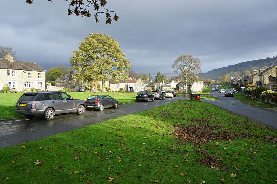
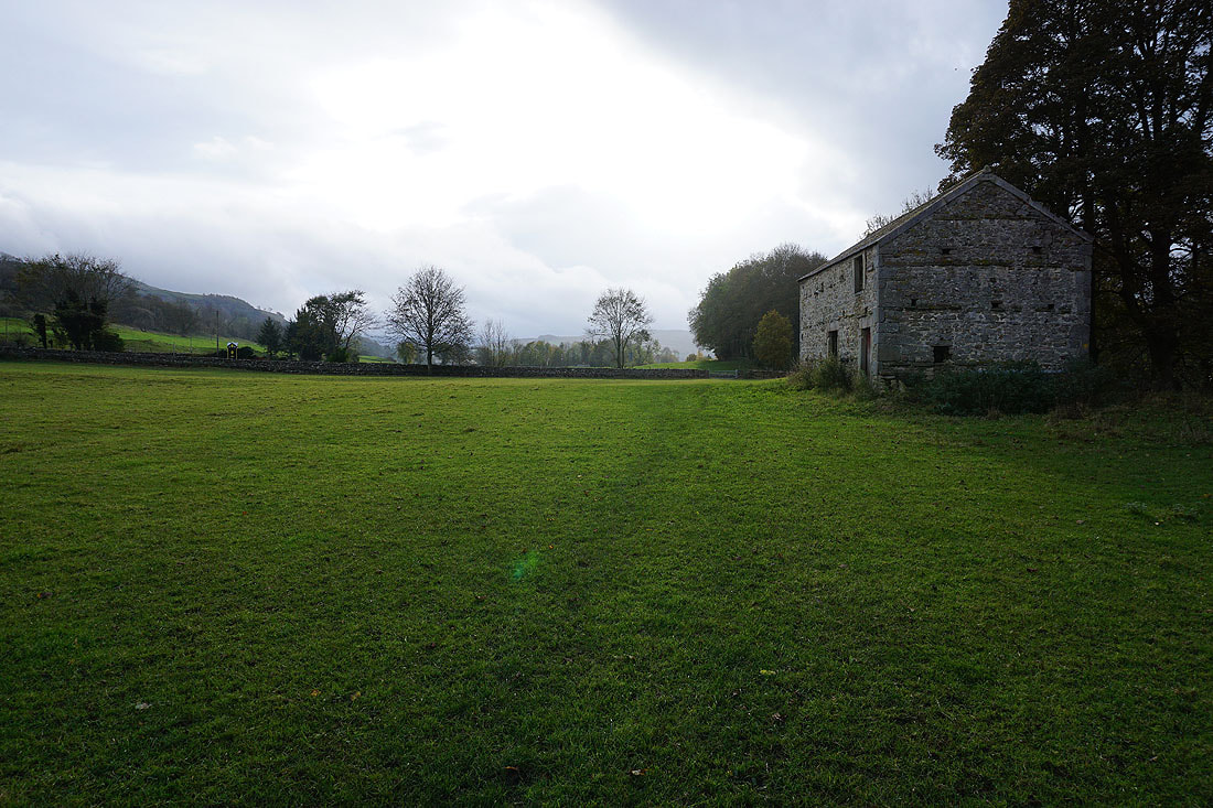
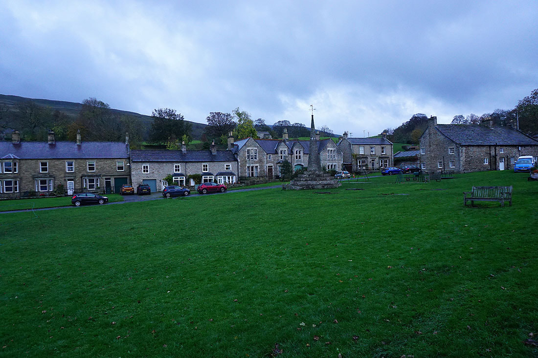
The sun is out this morning as I arrive in West Burton
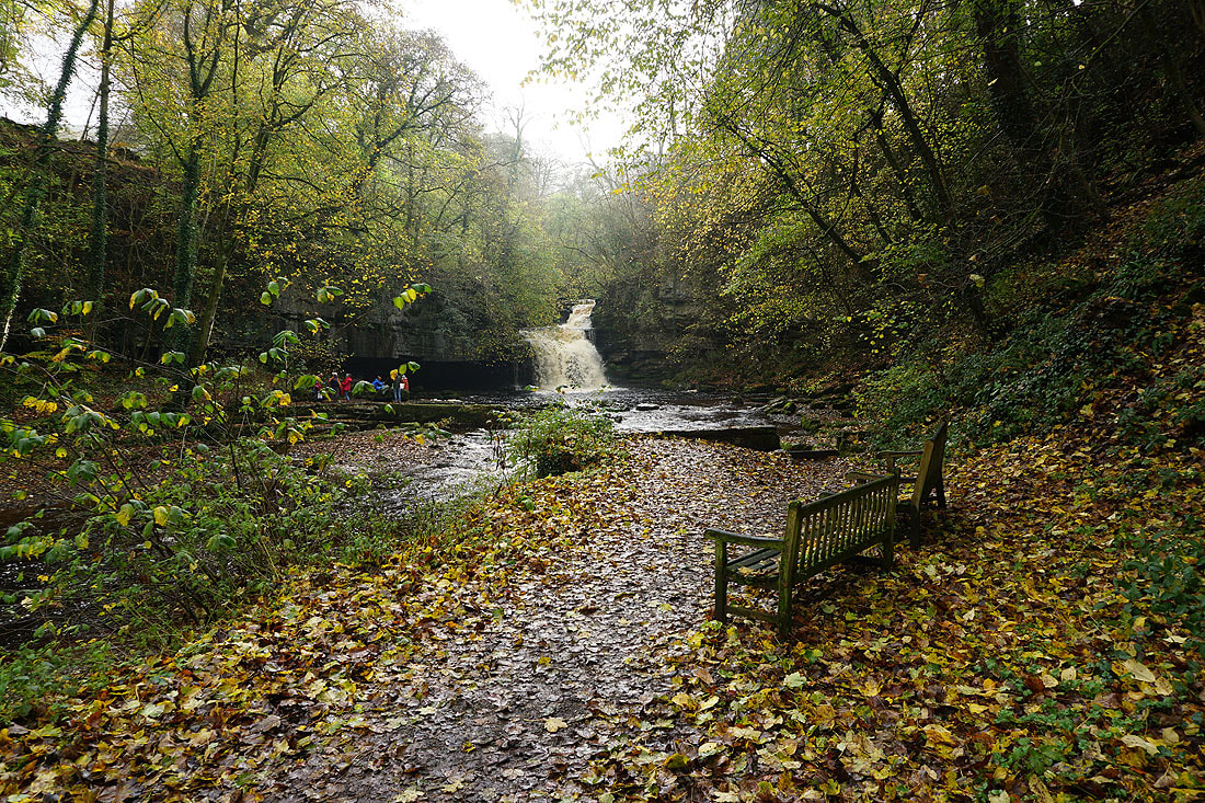
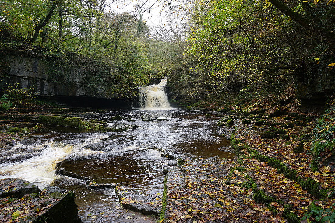
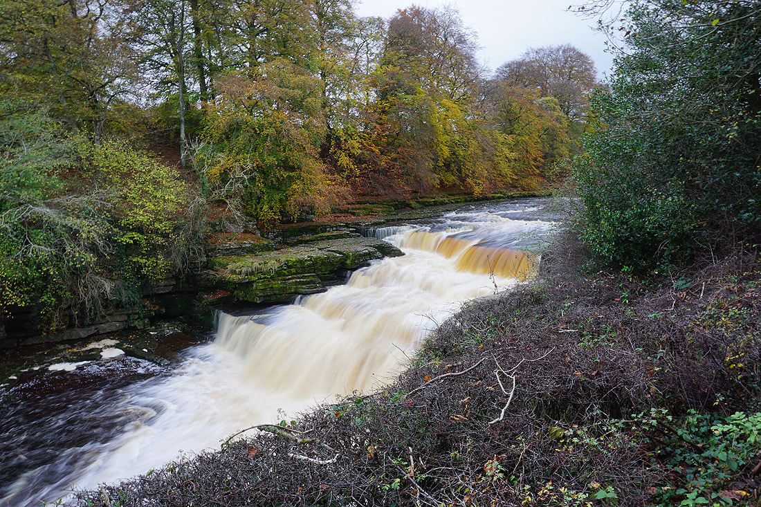
It's just a short walk from West Burton to Cauldron Falls, which are on Walden Beck
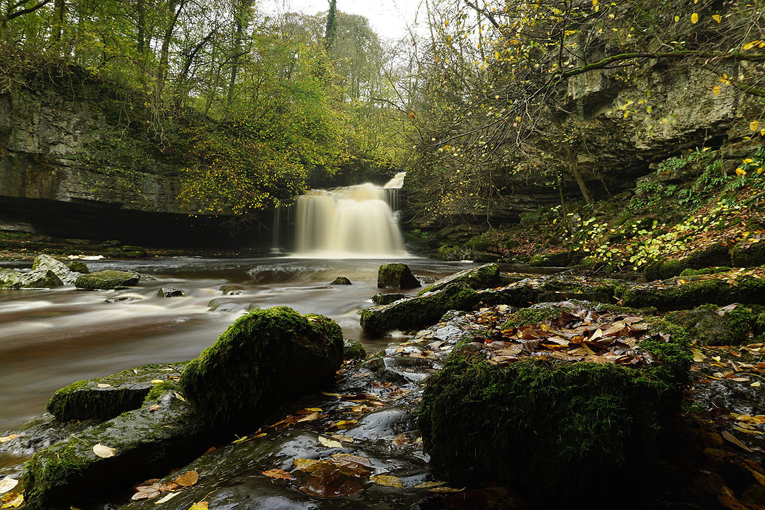
Several photos of Cauldron Falls with long exposures times, and my camera on a tripod.....
A last shot of Cauldron Falls
The footbridge across Walden Beck
Looking back across Bishopdale to Thoralby as I head up to the path to Morpeth Scar
Higher up and West Burton is in view below
Dove Scar on the side of Height of Hazely above
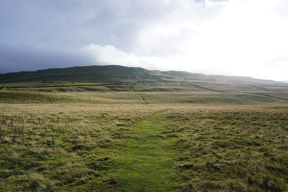
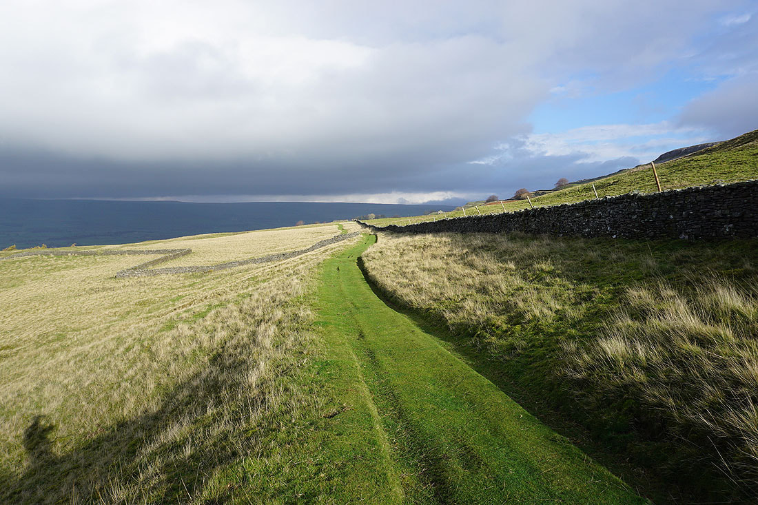
Heading north along the path to Morpeth Scar..
To my left is Bishopdale, and I can make out the top of Addlebrough in the distance
Looking back along the path to Dove Scar
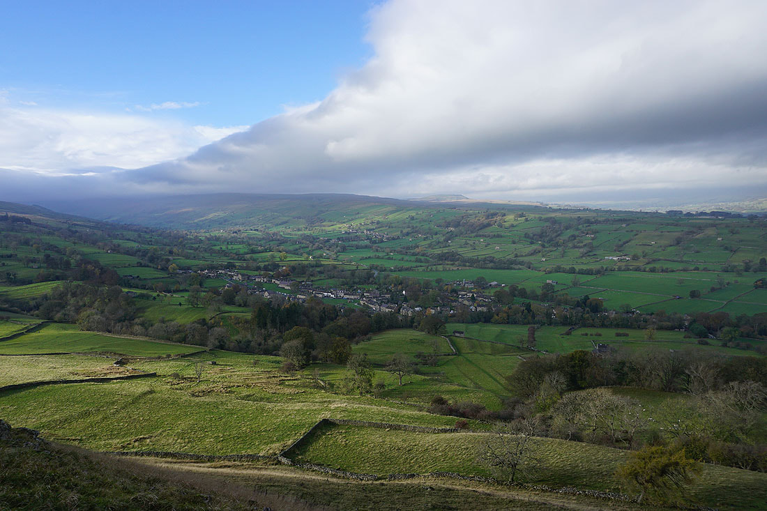
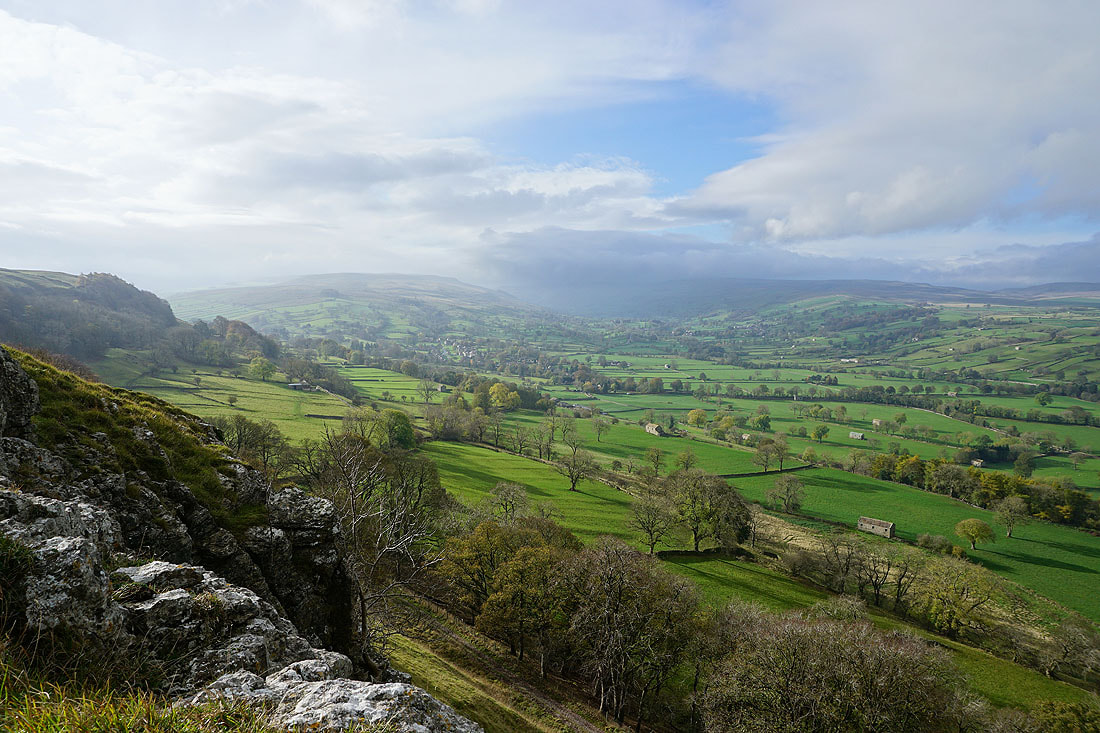
On Morpeth Scar and enjoying the great view of West Burton and Bishopdale..
..and across the foot of Bishopdale to Aysgarth Moor and Aysgarth
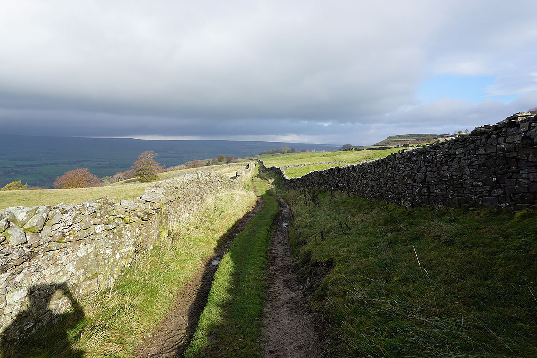
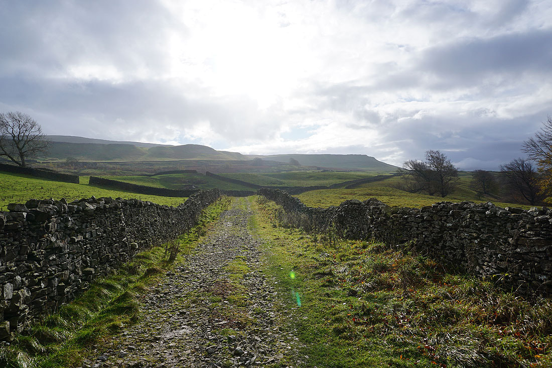
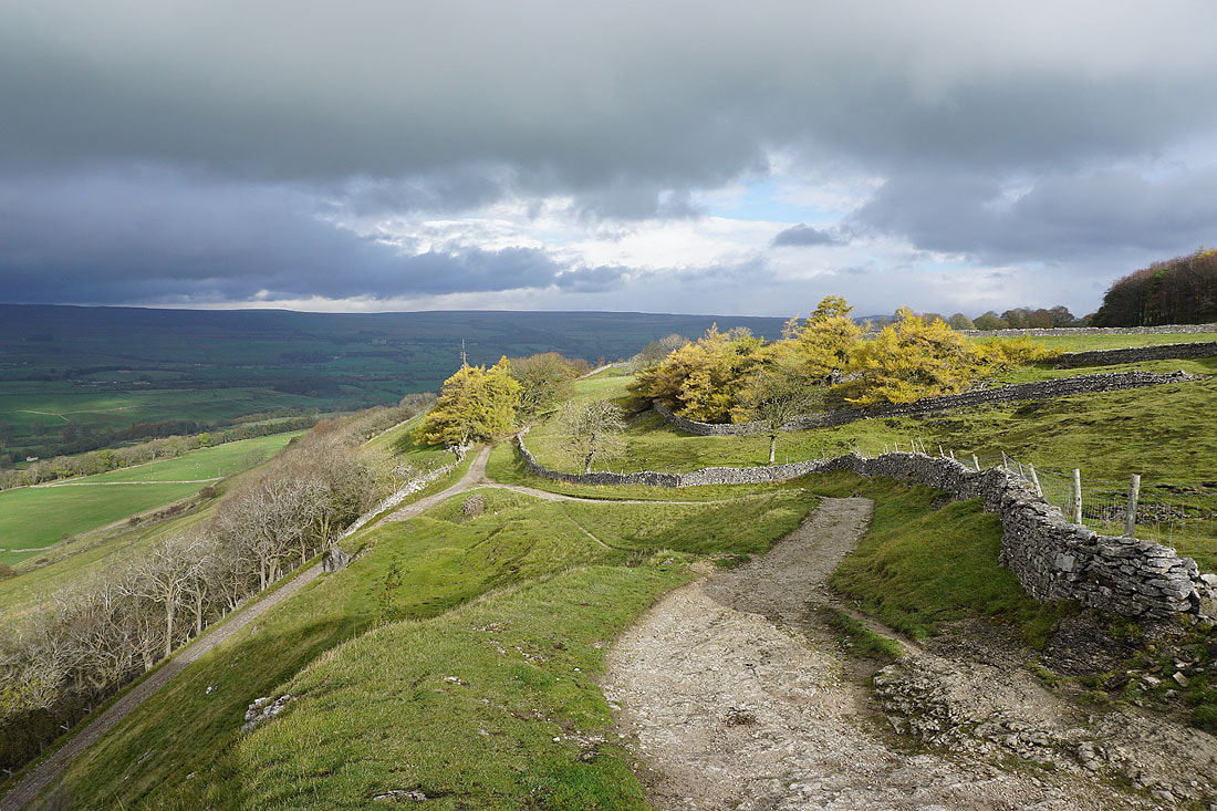
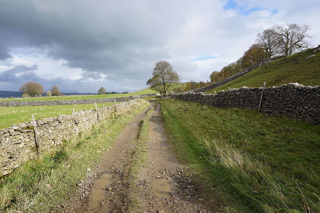
From Morpeth Scar I head down to join the track of Morpeth Gate, and follow it east..
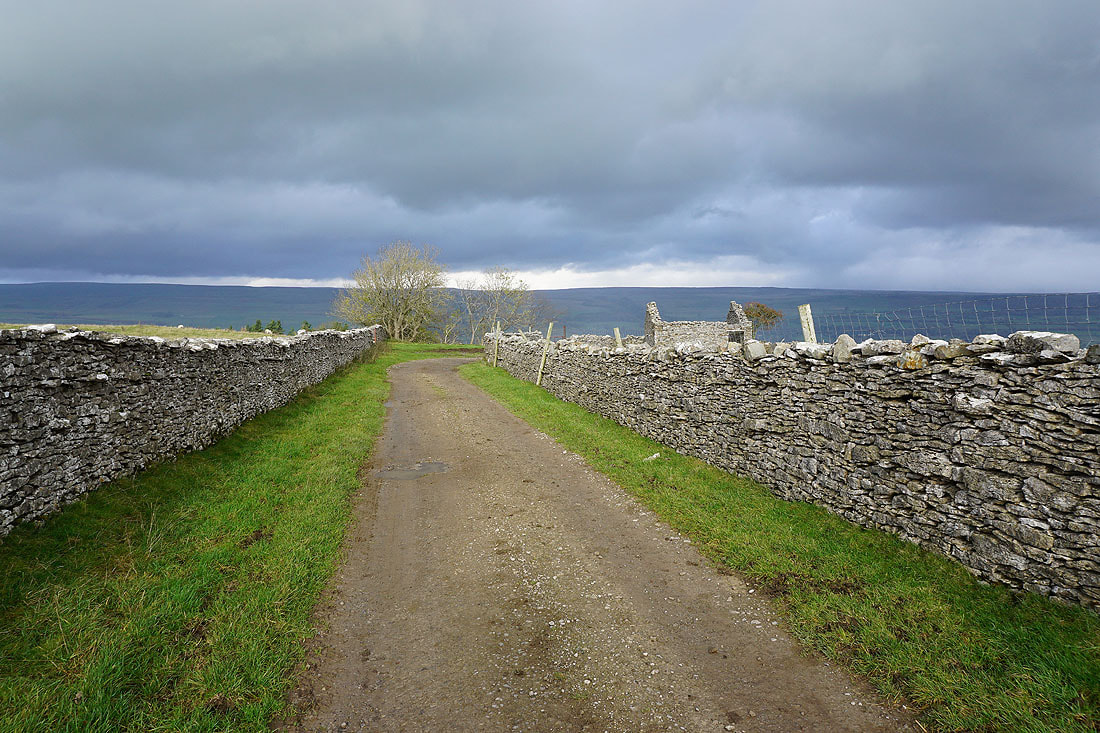
..and onto the track of High Lane
I leave that track for another one that heads north..
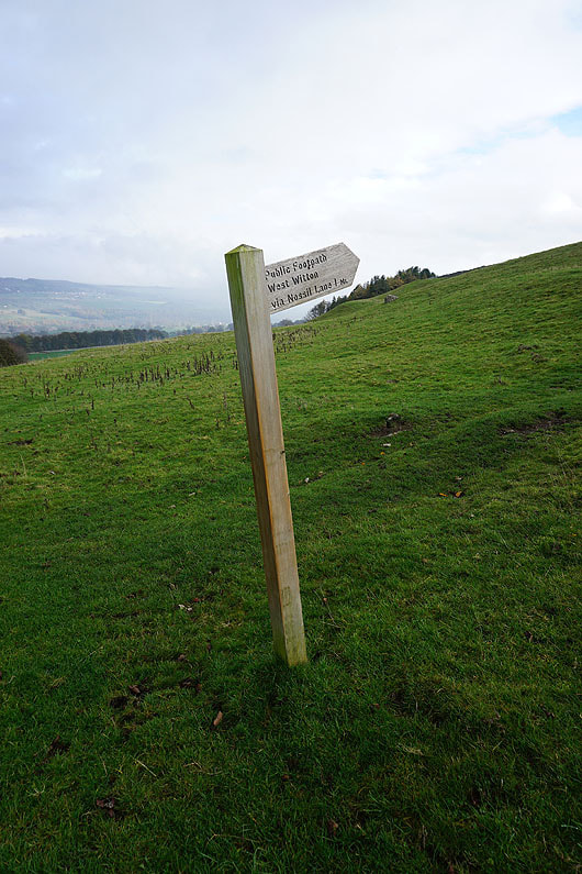
..and I then take a footpath to West Witton
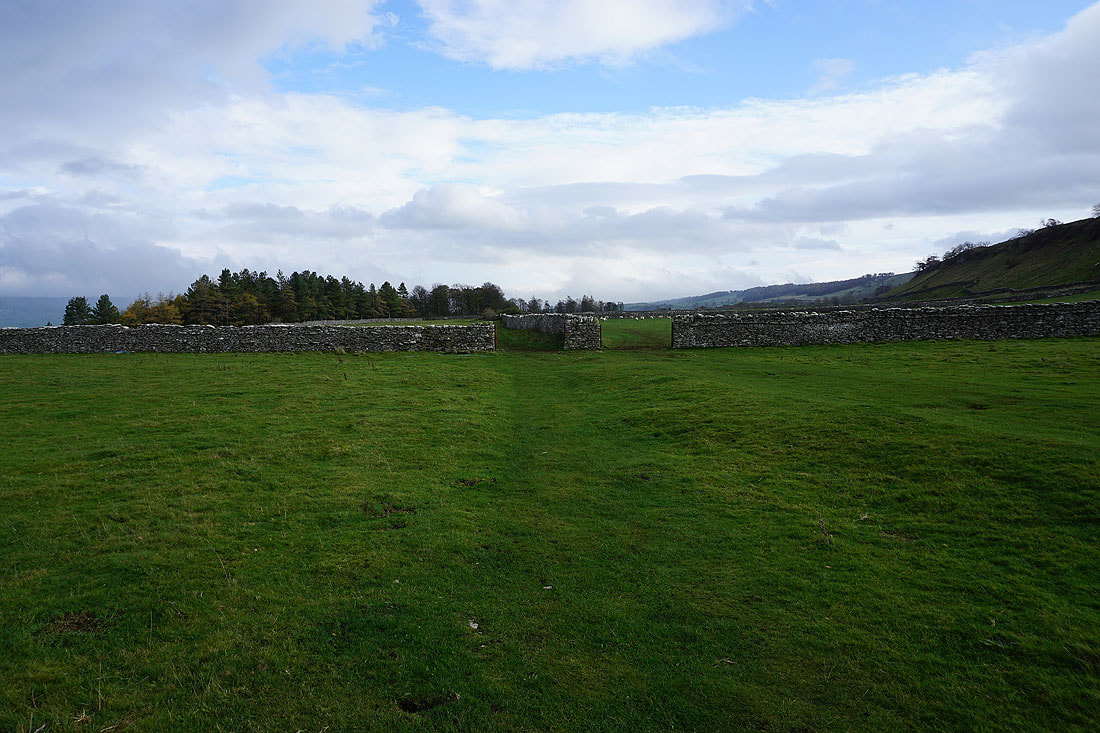
The footpath heads east across a couple of fields..
..and then along a track at the top of woodland
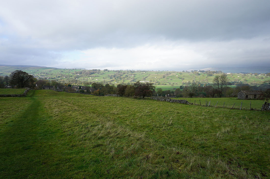
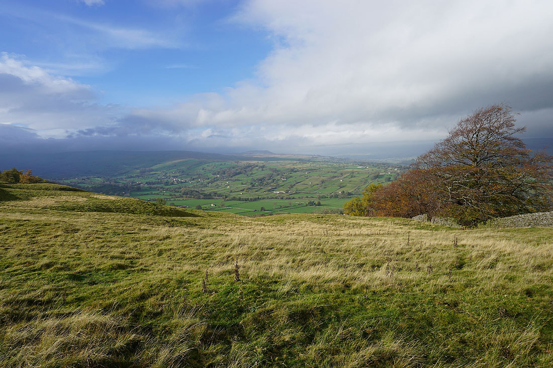
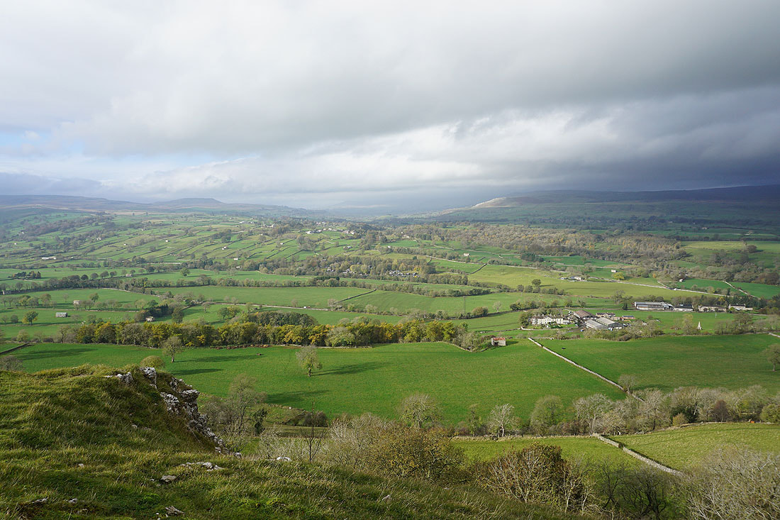
Looking down Wensleydale from above West Witton
and across to Preston-under-Scar
After crossing the A684 in West Witton I take a footpath and then bridleway down towards the River Ure...
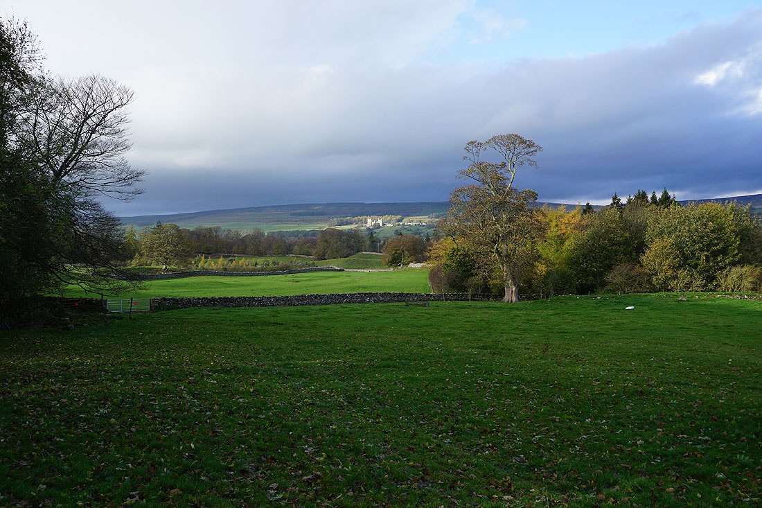
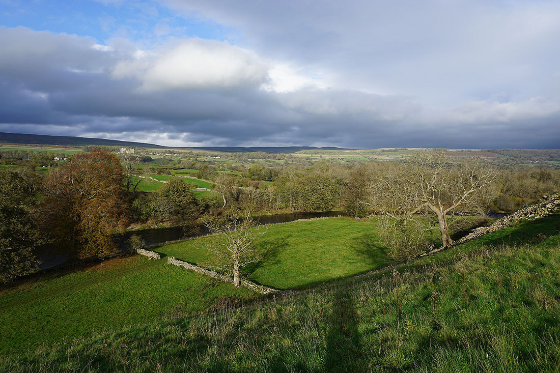
Bolton Castle in sunshine on the other side of Wensleydale
At Redmire Force on the River Ure..
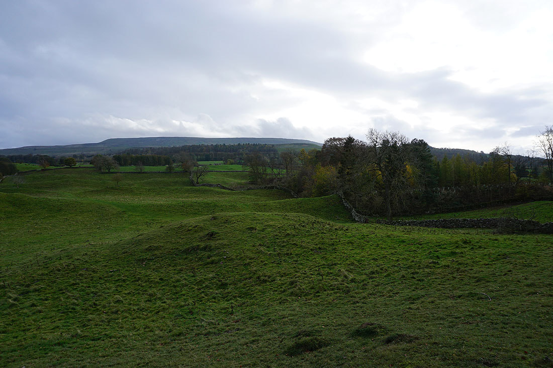
Penhill above on the southern side of Wensleydale
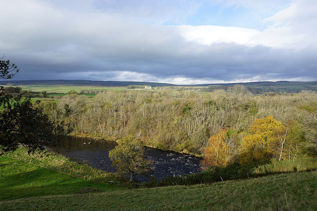
Looking across the River Ure to Bolton Castle
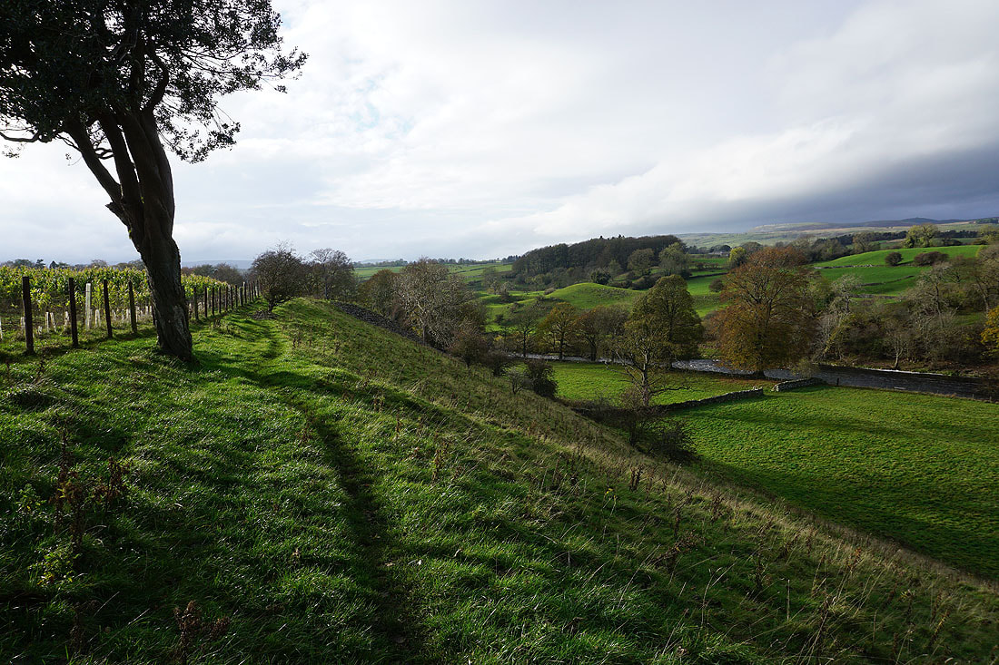
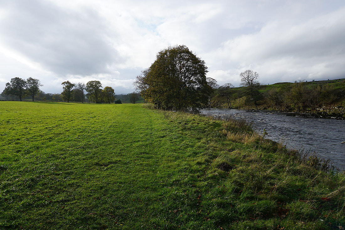
Heading west along a footpath above the River Ure
Looking across the River Ure to Bolton Castle and Preston Scar
The stepping stones across the river at Slapestone Wath. Not much chance of making it across with dry feet today.
From Slapestone Wath I follow a footpath west to Hestholme Bridge on the A684...
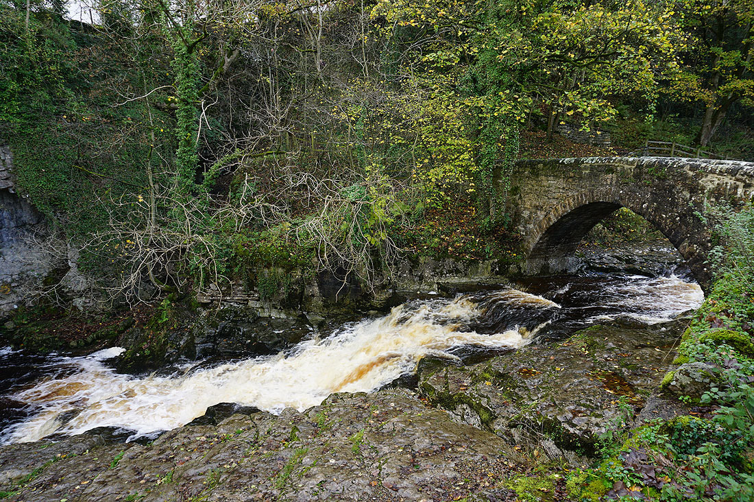
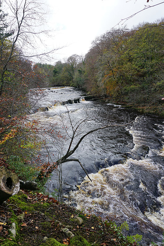
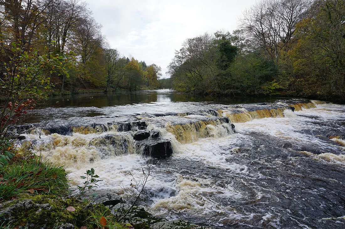
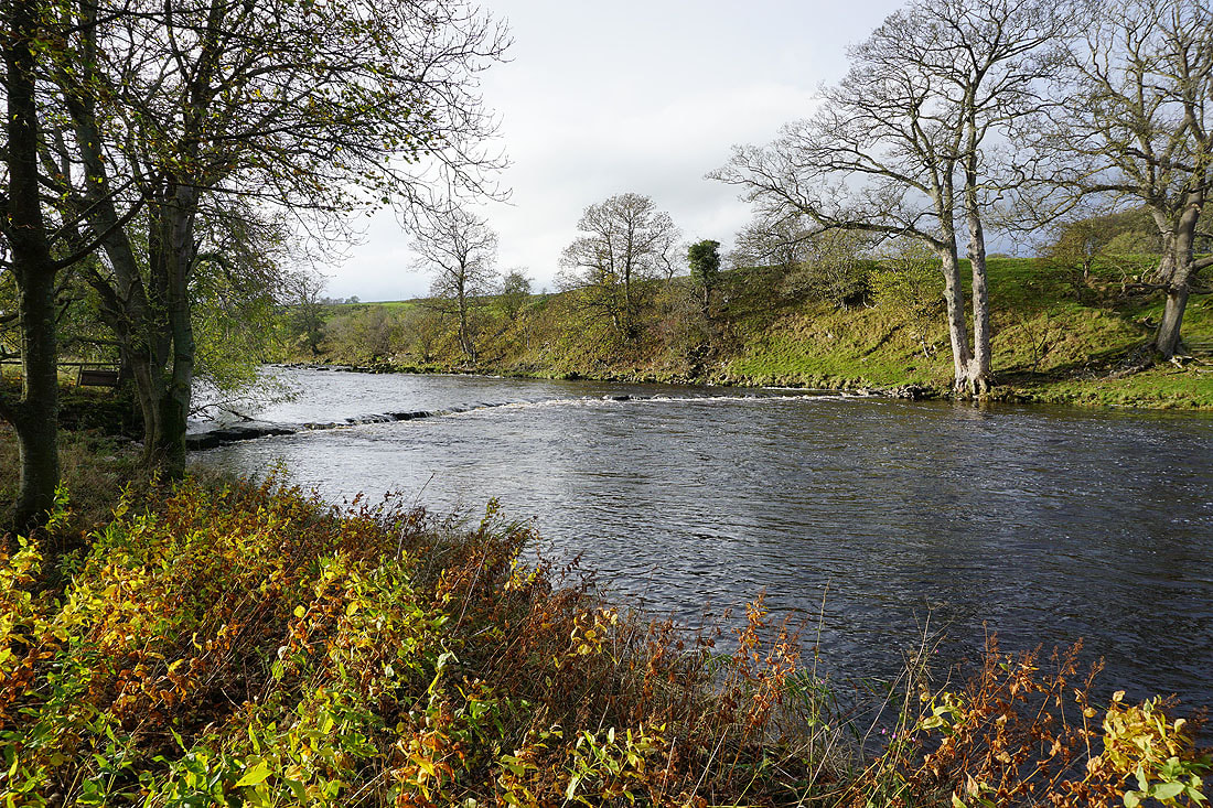
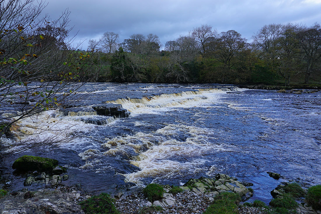
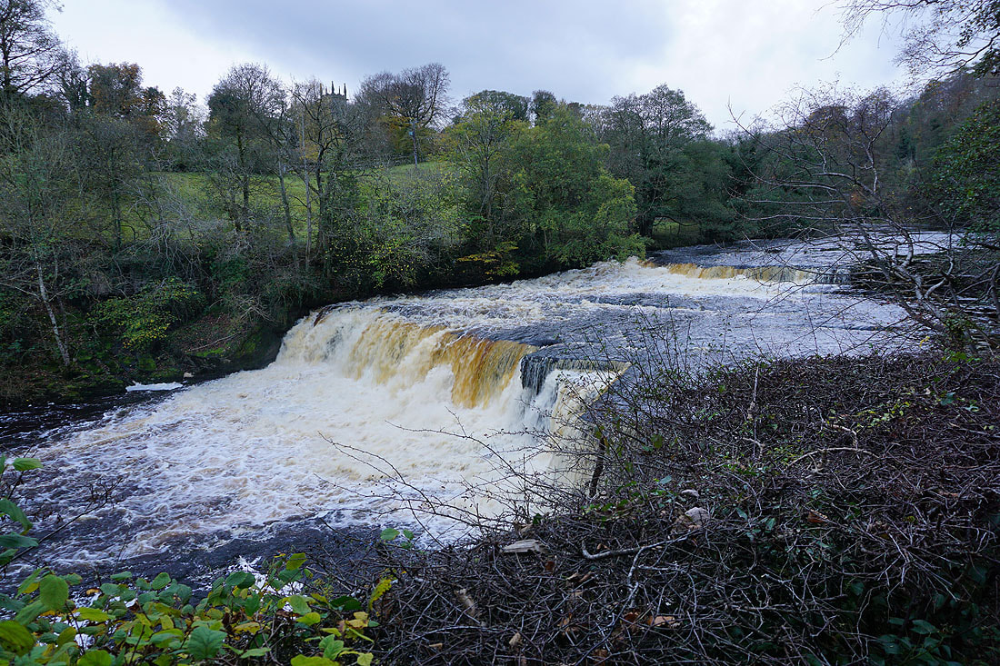
Soon after crossing the A684 I reach a waterfall on the River Ure. This is downstream from Aysgarth Falls.
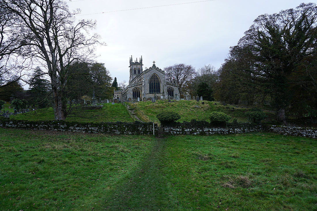
Approaching St. Andrew's Church in Aysgarth
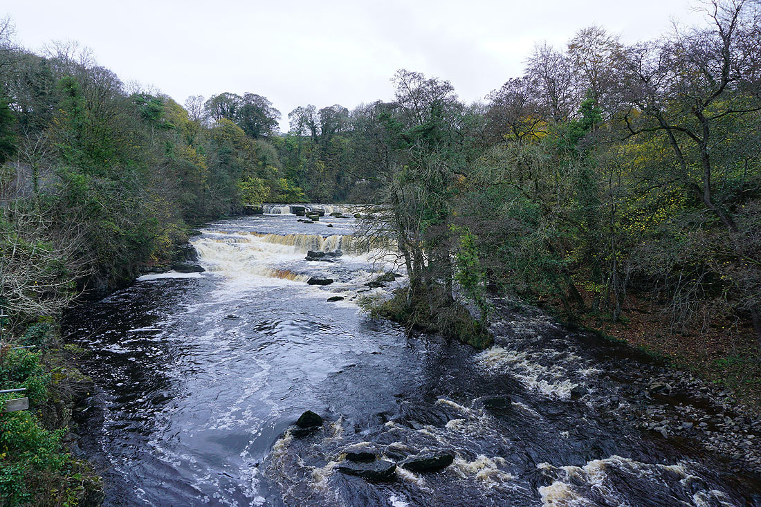
High Force from the bridge over the River Ure
Middle Force from the viewing platform. There's no access down to the river.
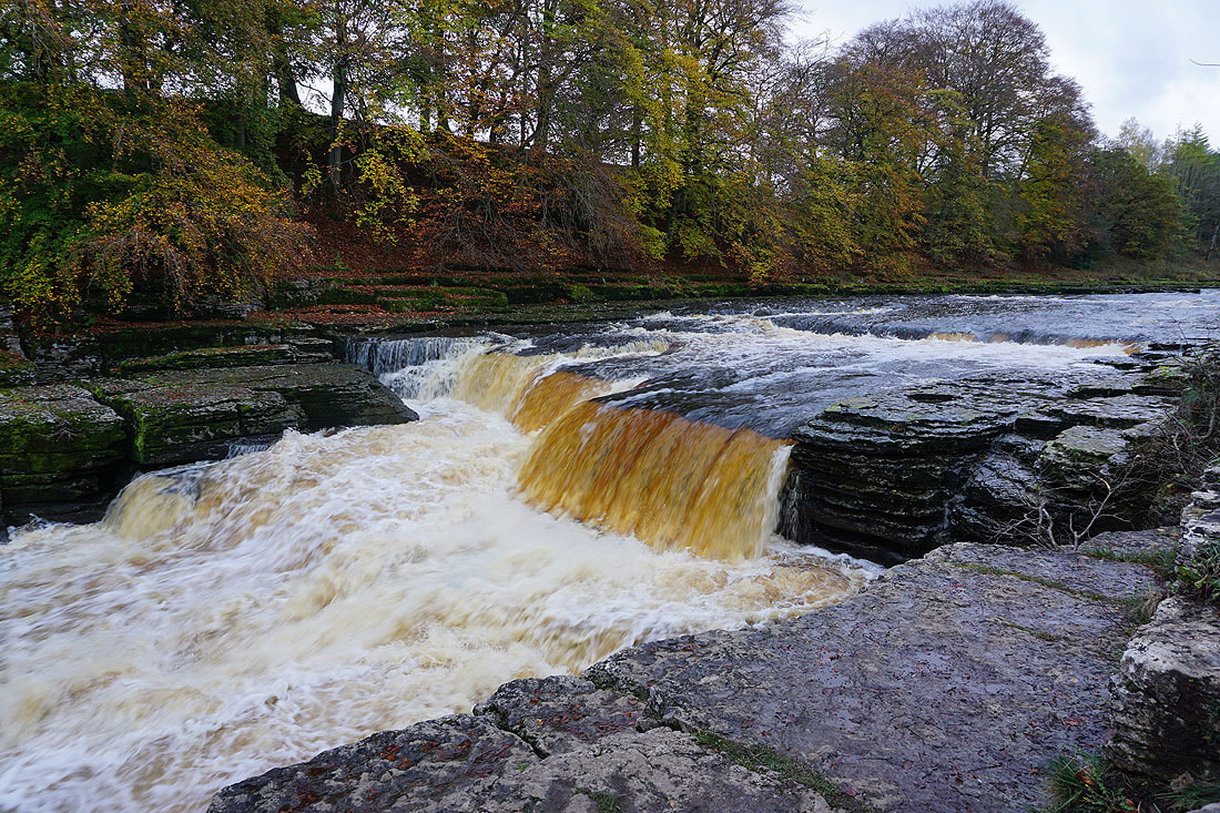
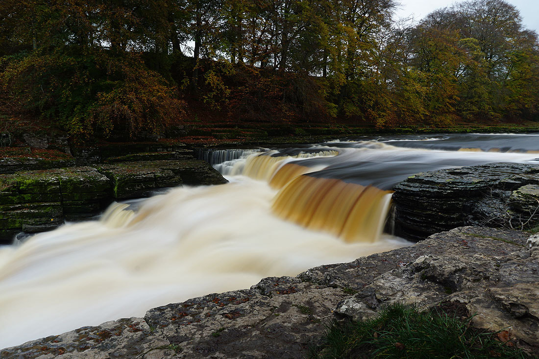
There is at Lower Force. So I set up my tripod and take a few pictures...
Lower Force from the viewing platform
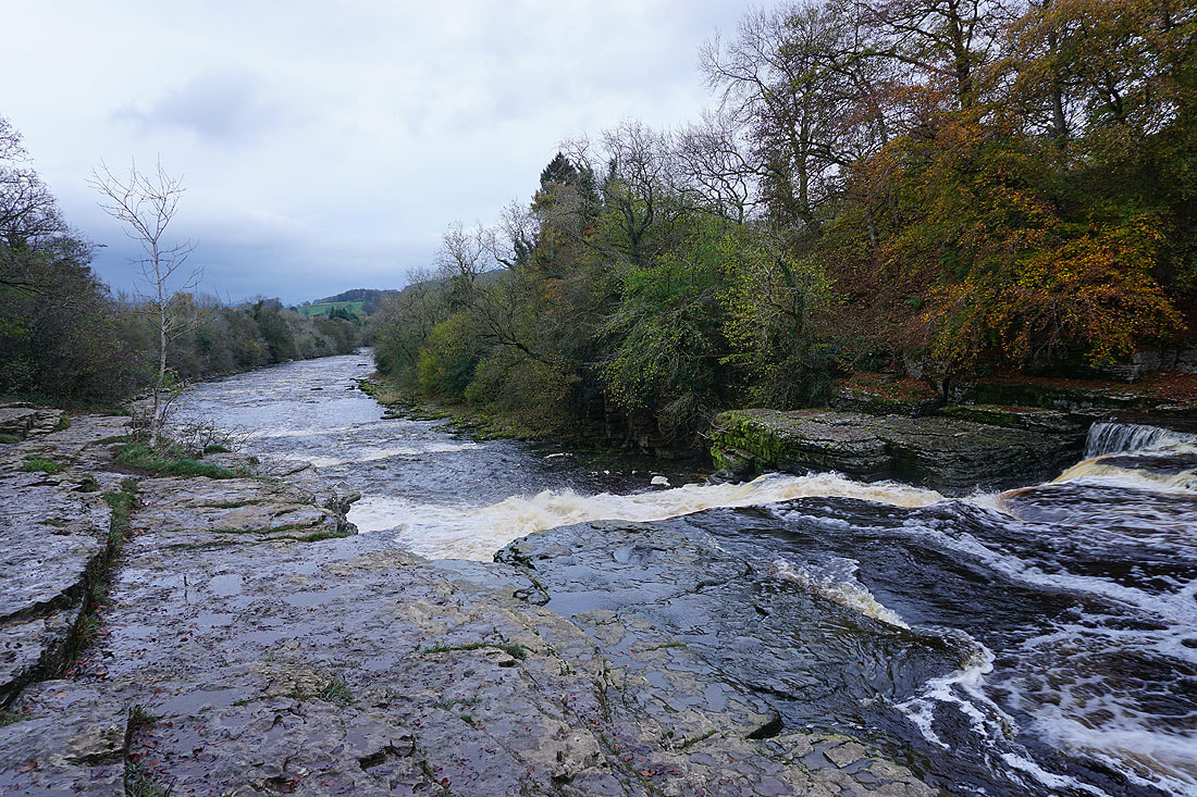
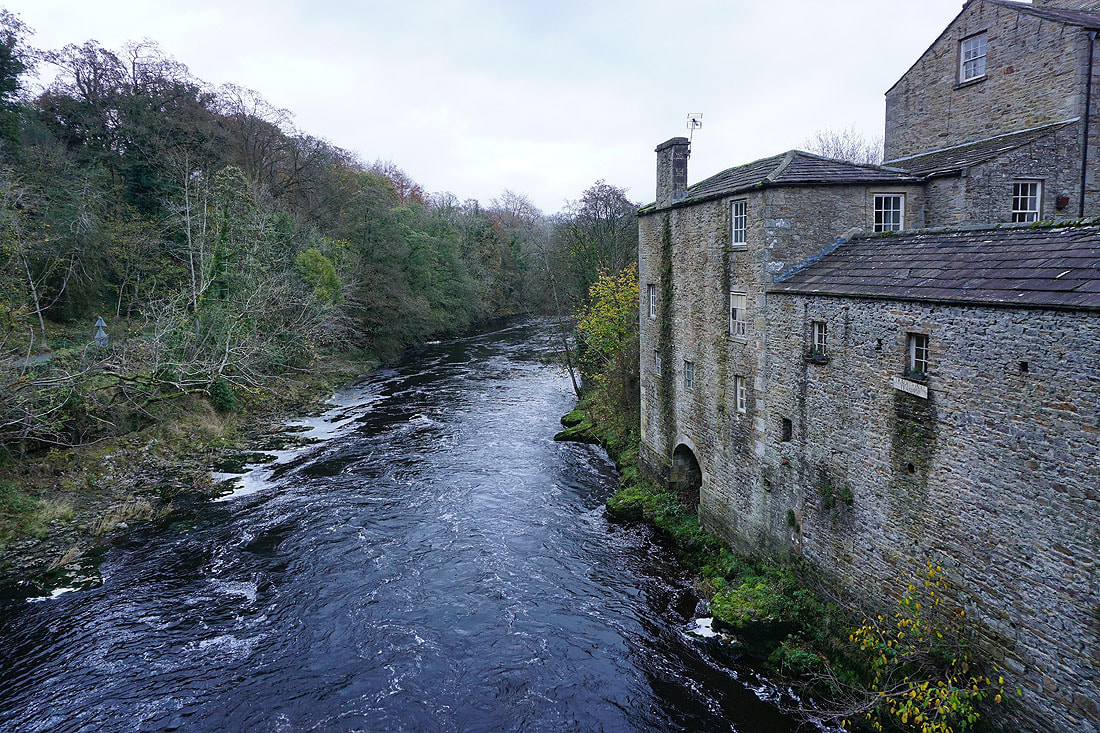
The River Ure from the bridge at Yore Mill as I head back to St. Andrew's Church
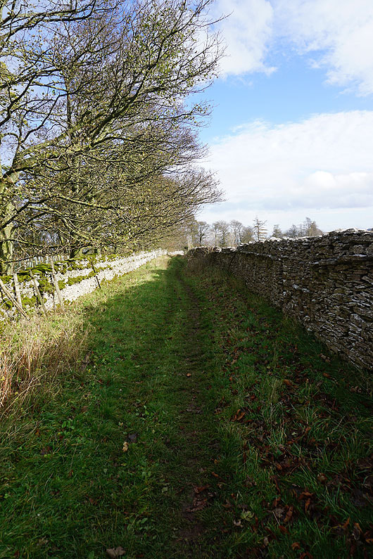
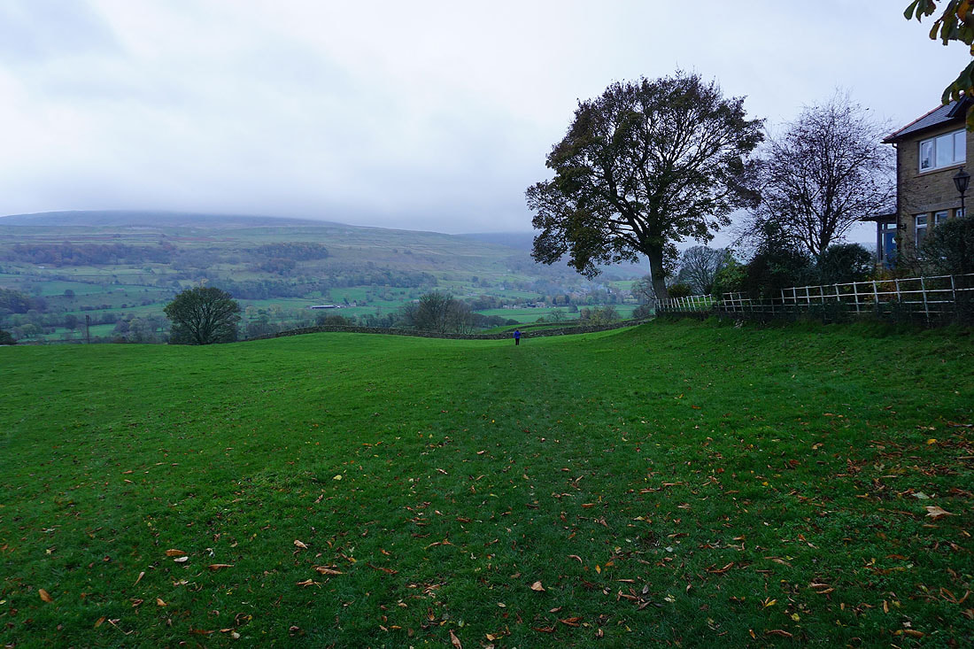
From St. Andrew's Church I cross the A684 and take a footpath down to Eshington Lane
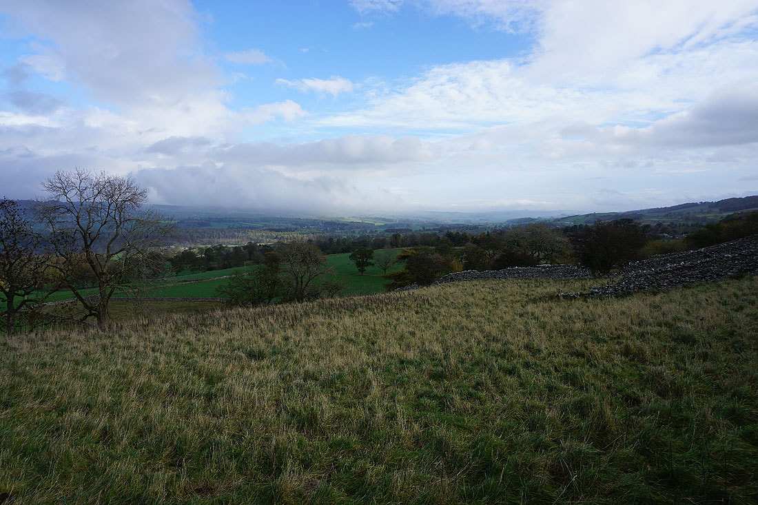
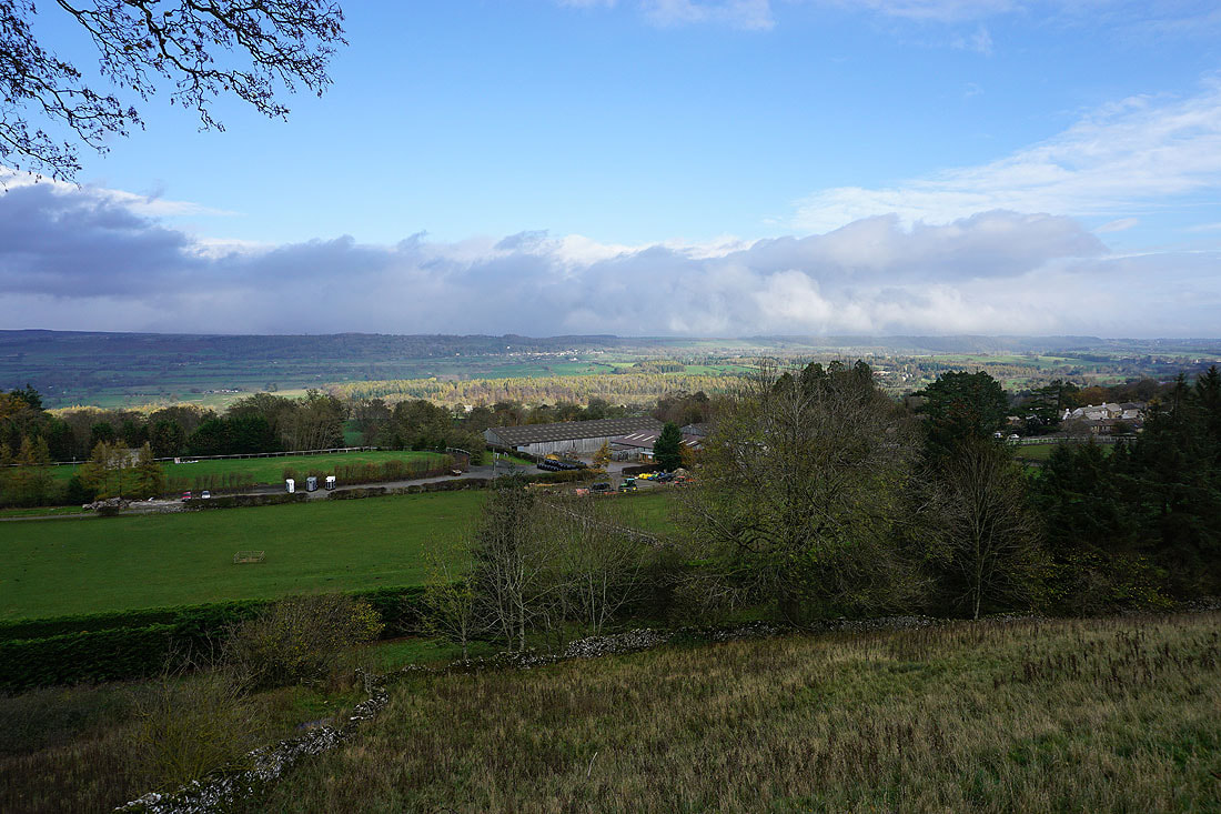
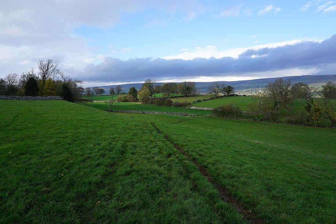
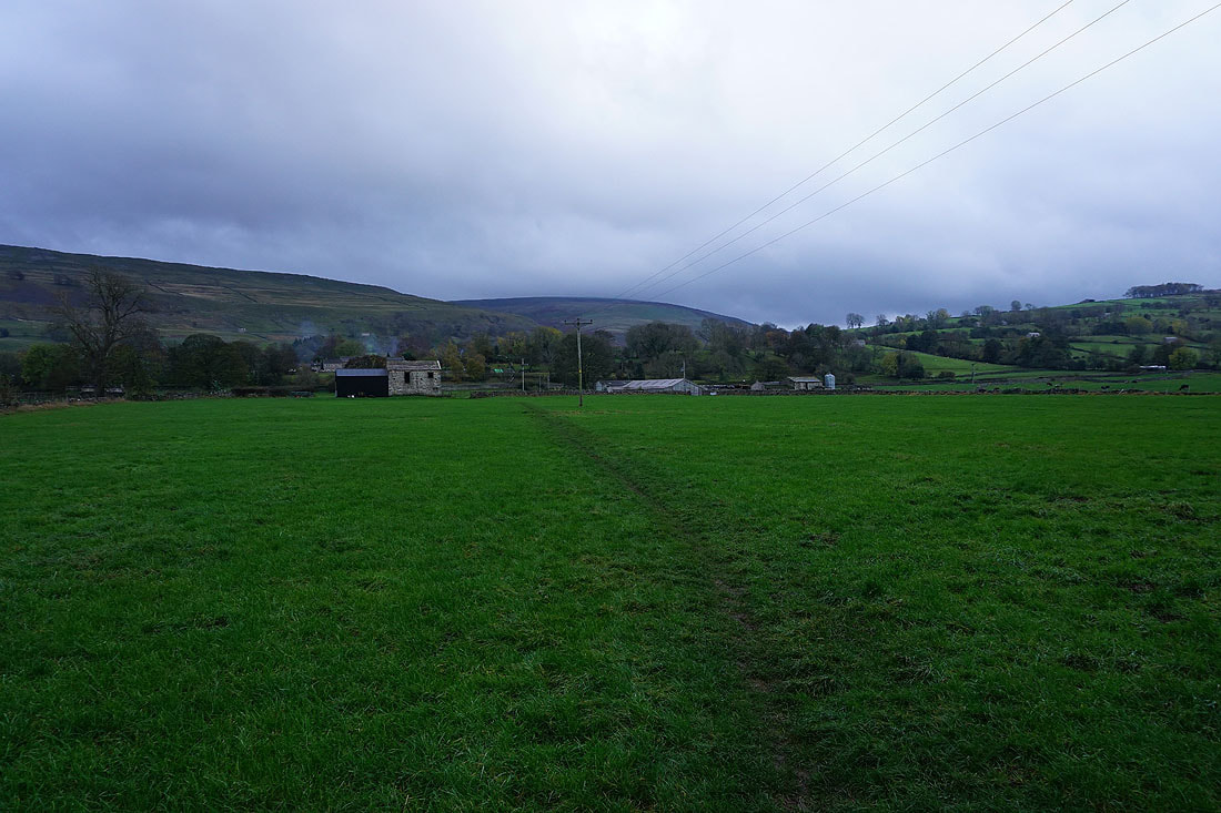
After crossing Eshington Lane I follow footpaths across fields back to West Burton..
