6th October 2013 - The Roaches
Walk Details
Distance walked: 11.5 miles
Total ascent: 2059ft
OS map used: OL24 - The Peak District, White Peak area
Time taken: 7 hrs
Route description: Gradbach-Dane Valley Way-Danebridge-Hangingstone Farm-Hanging Stone-Back Forest-The Roaches-Hen Cloud-various lanes-Gradbach Hill-Gradbach
My second Peak District walk of the weekend and I think I enjoyed this one even more, certainly the weather was better with more sunshine and it felt warmer.
From the car park in Gradbach the first part of the walk was to follow the Dane Valley Way all the way to Danebridge. Once there it was uphill to Hangingstone Farm then Hanging Stone. The best part of the walk came next as I followed the ridge across Back Forest to The Roaches. When I reached the end of The Roaches I did a there and back to the summit of Hen Cloud. My route back included some road walking and taking in Gradbach Hill before finally arriving back at the car park in Gradbach.
Route map
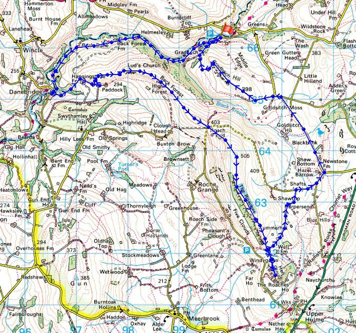
© Crown copyright. All rights reserved. License number PU 100034184.
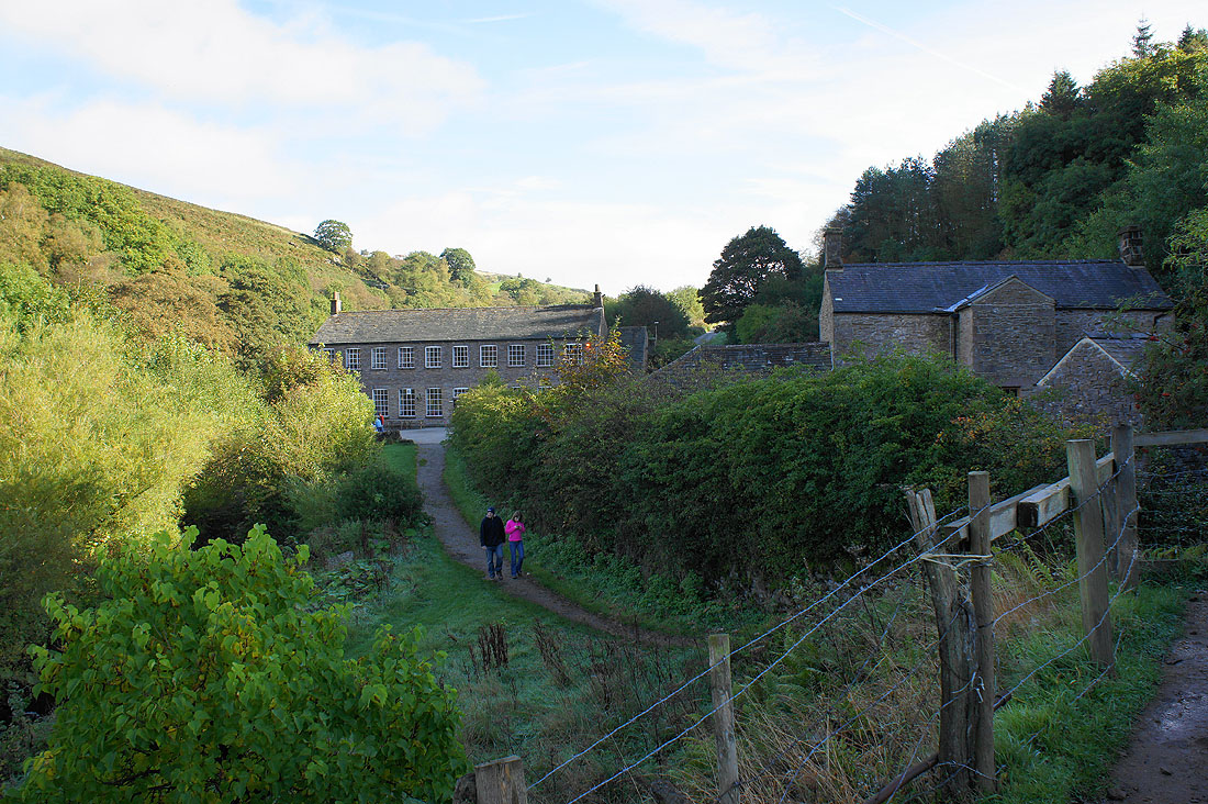
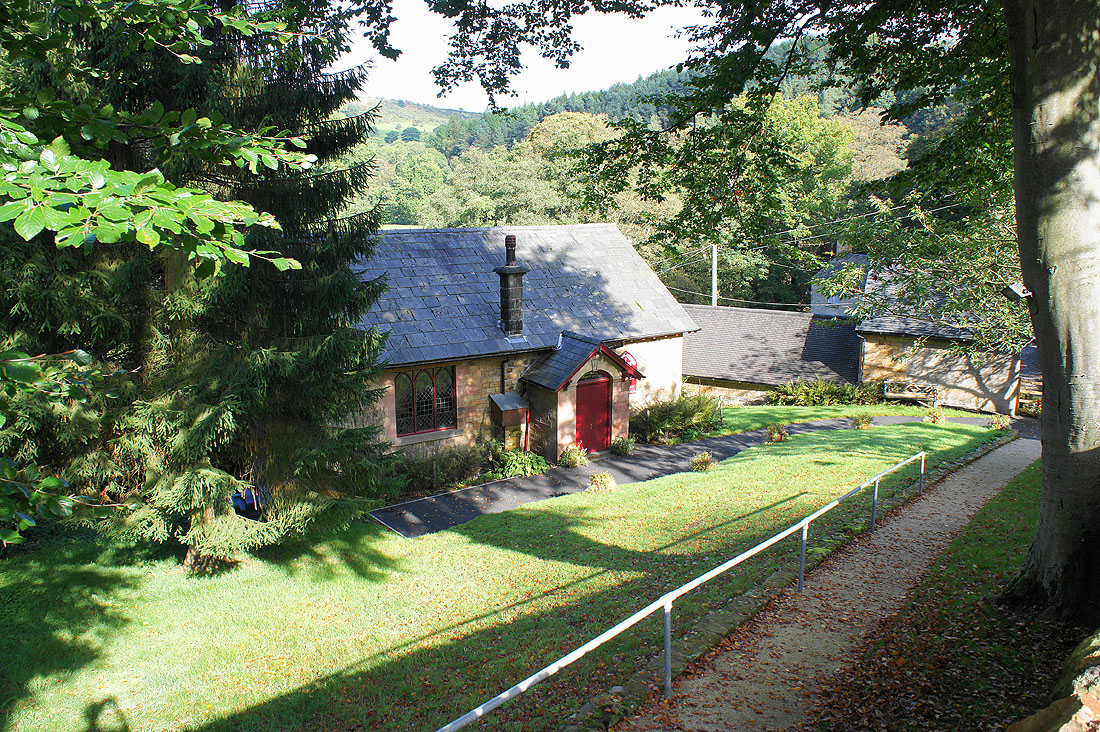
Shortly after leaving the car park I walked through the grounds of Gradbach YHA
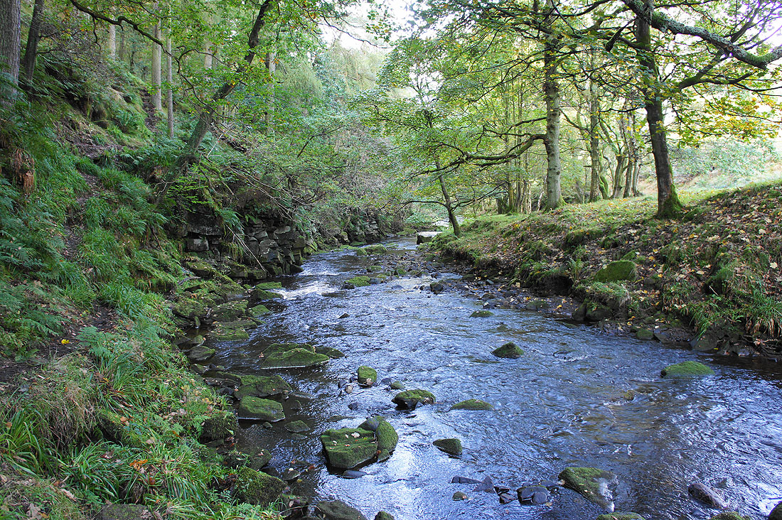
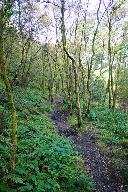
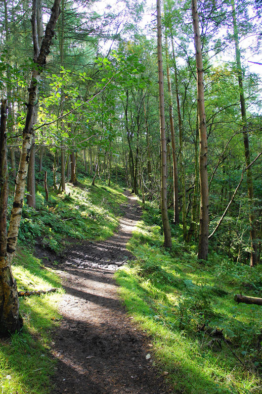
The River Dane in Forest Wood. The path doesn't stay by the river though and takes to the hillside through the wood.
I left the woods behind at Back Forest Farm
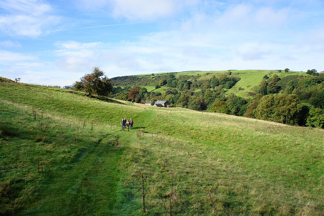
Onwards to Back Dane
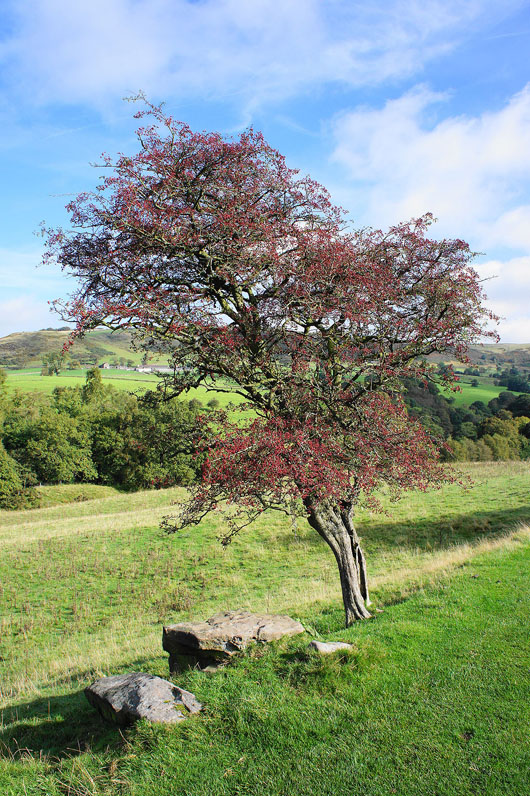
A vibrant splash of colour from this hawthorn
Back into the woods until I reach Danebridge
The methodist church in Danebridge
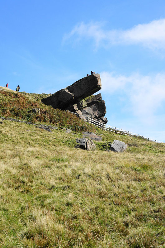
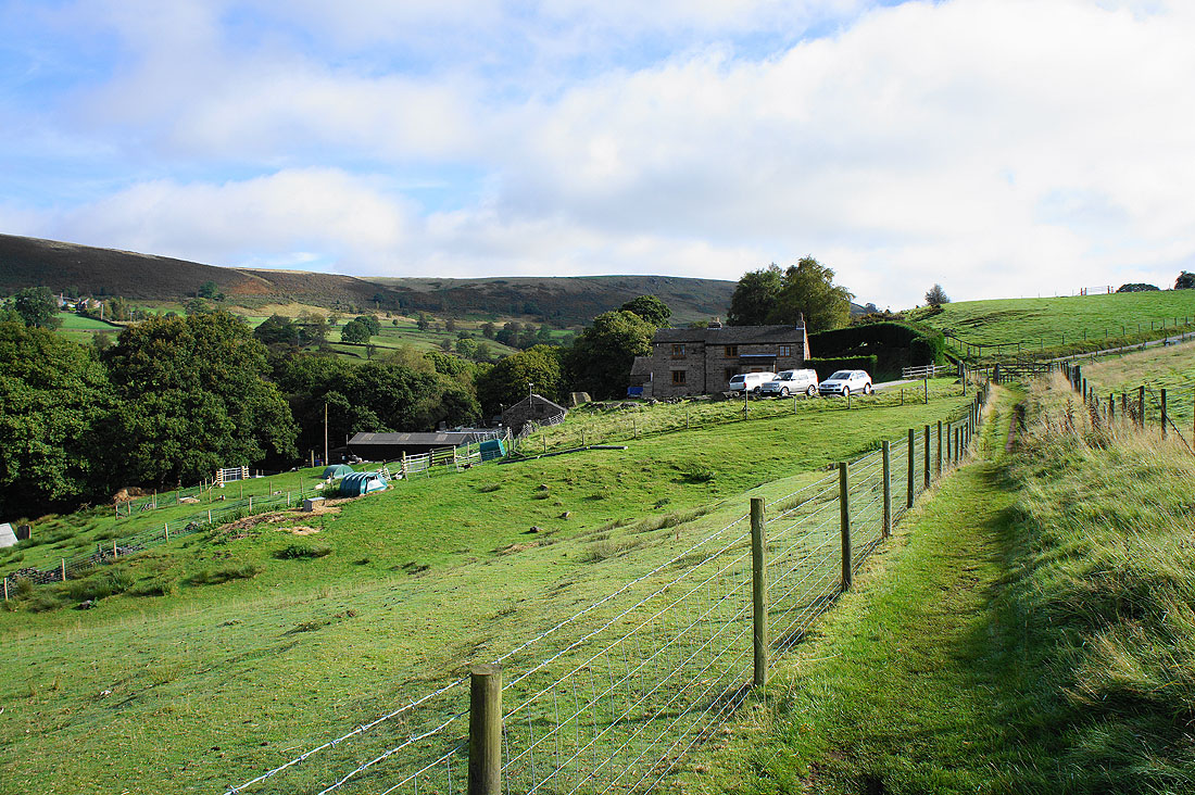
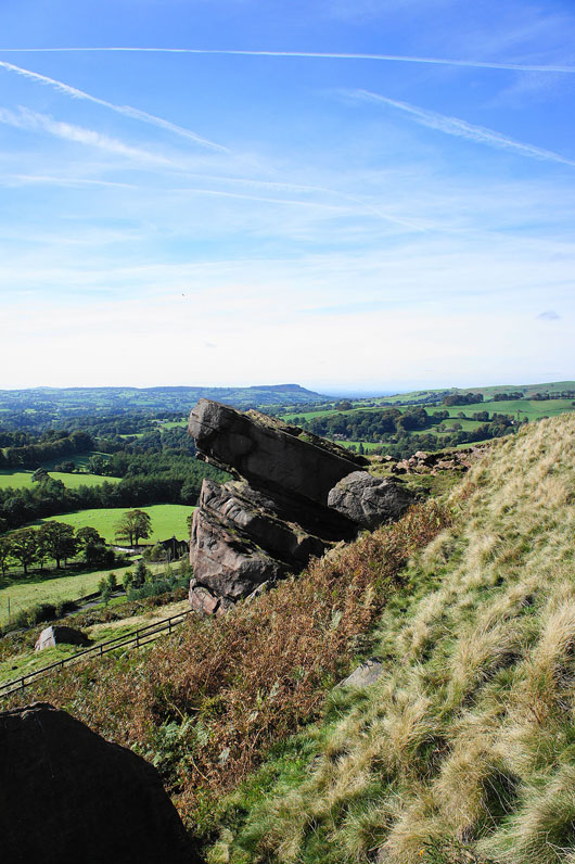
The Hanging Stone. From Danebridge I followed a path to Hangingstone Farm and a concessionary path allows access.
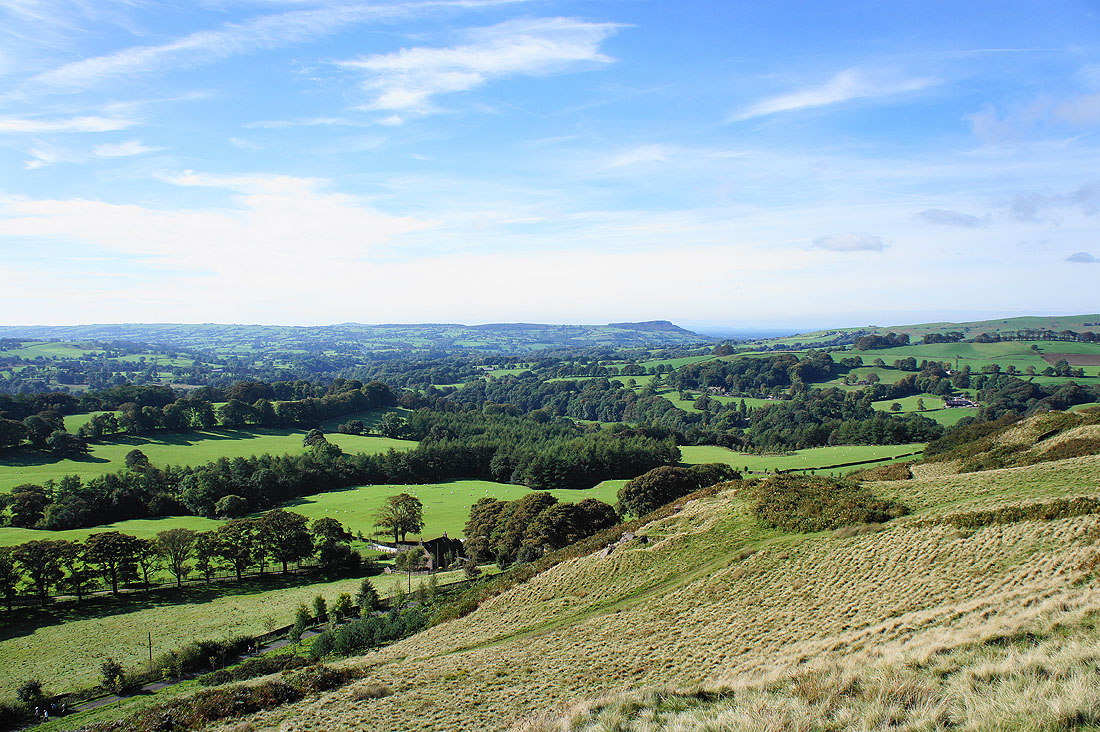
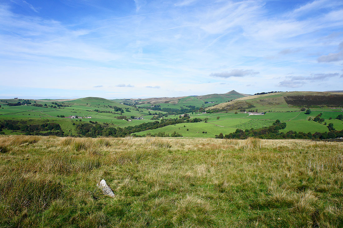
Looking west from the Hanging Stone across the Dane Valley to The Cloud
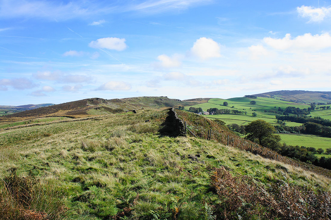
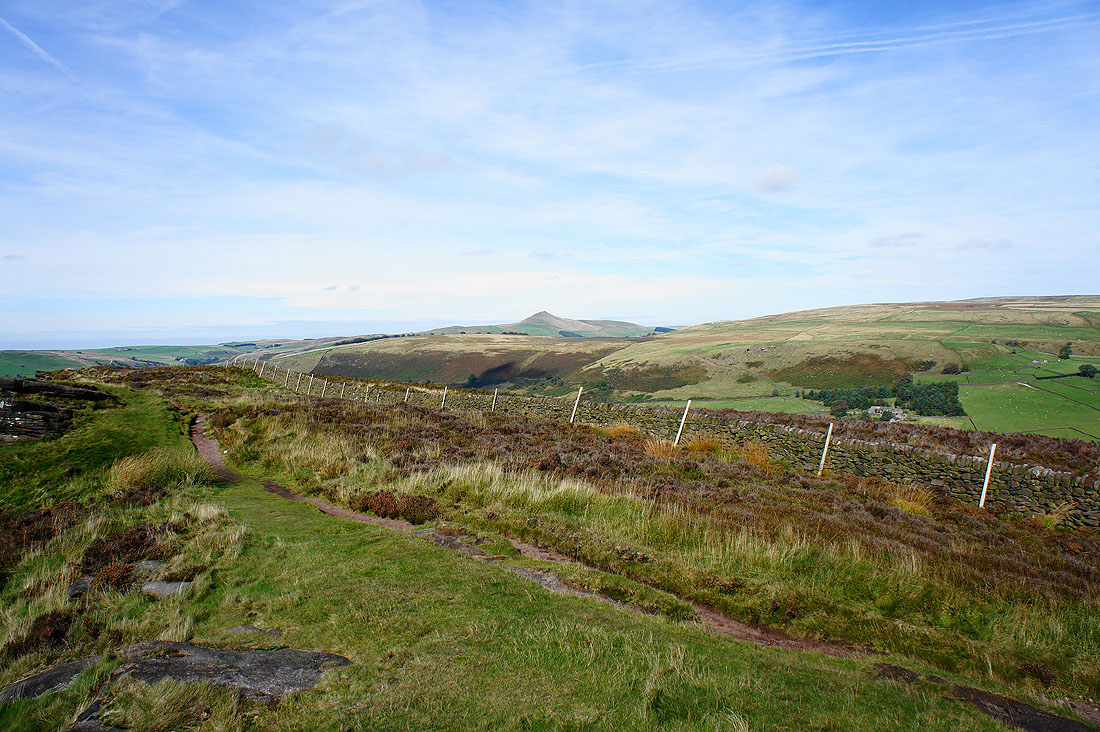
The onward route to Back Forest and The Roaches
The distinctive profile of Shutlingsloe to the north
The Hanging Stone
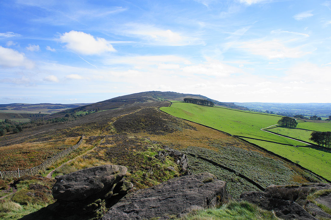
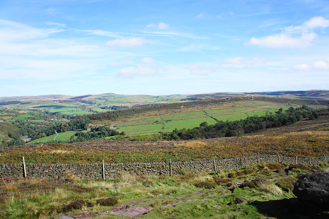
On Back Forest with the ridge continuing to The Roaches
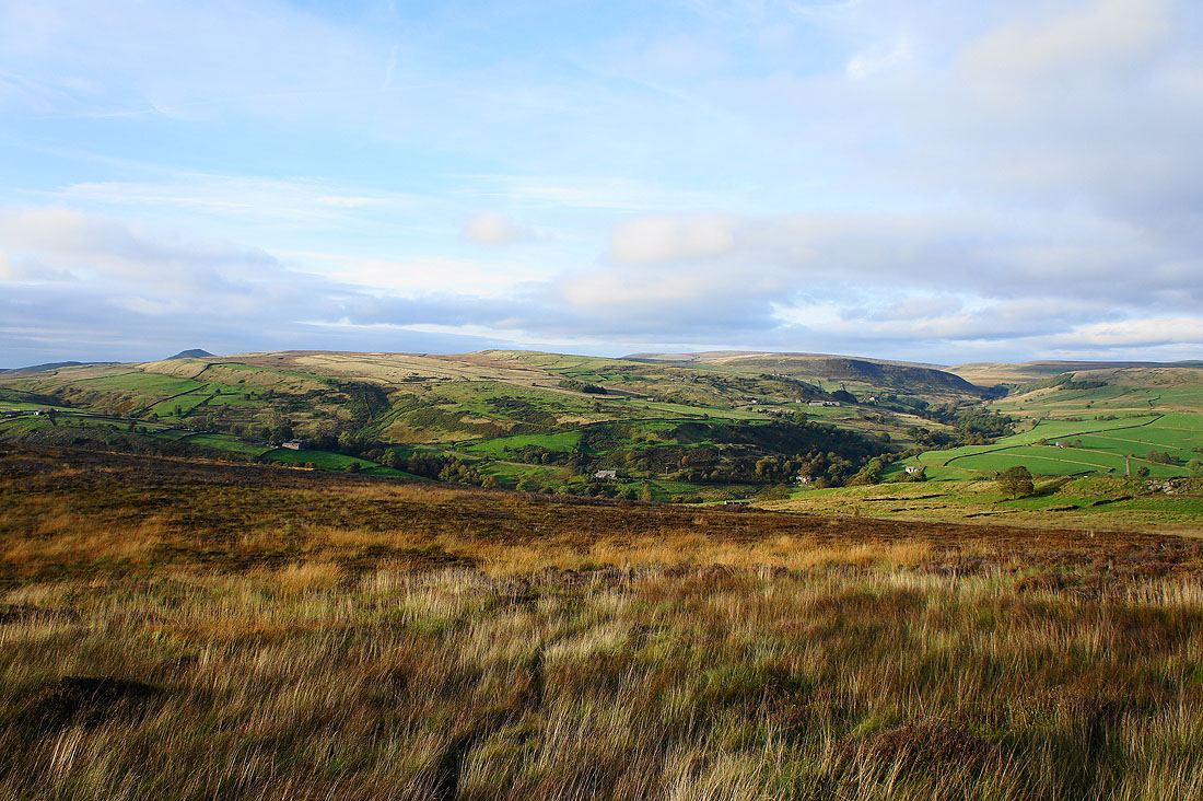
Looking back along the ridge to the Hanging Stone with The Cloud and Wincle Minn in the distance
Gradbach Hill on the other side of Gradbach Wood below was the final part of my walk
Shutlingsloe
Getting amongst the gritstone as I head up The Roaches
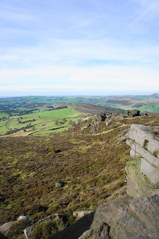
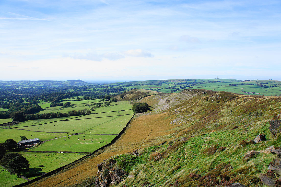
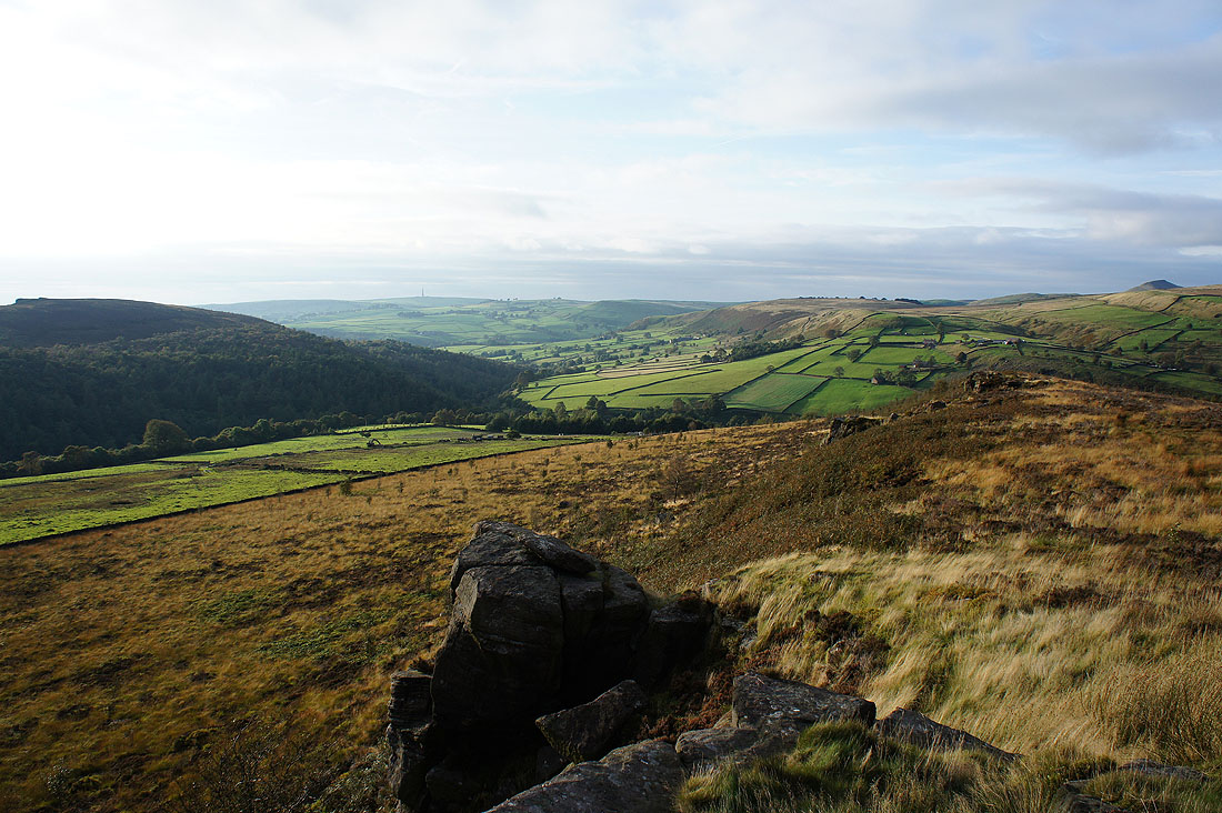
A great view back down the ridge to Back Forest
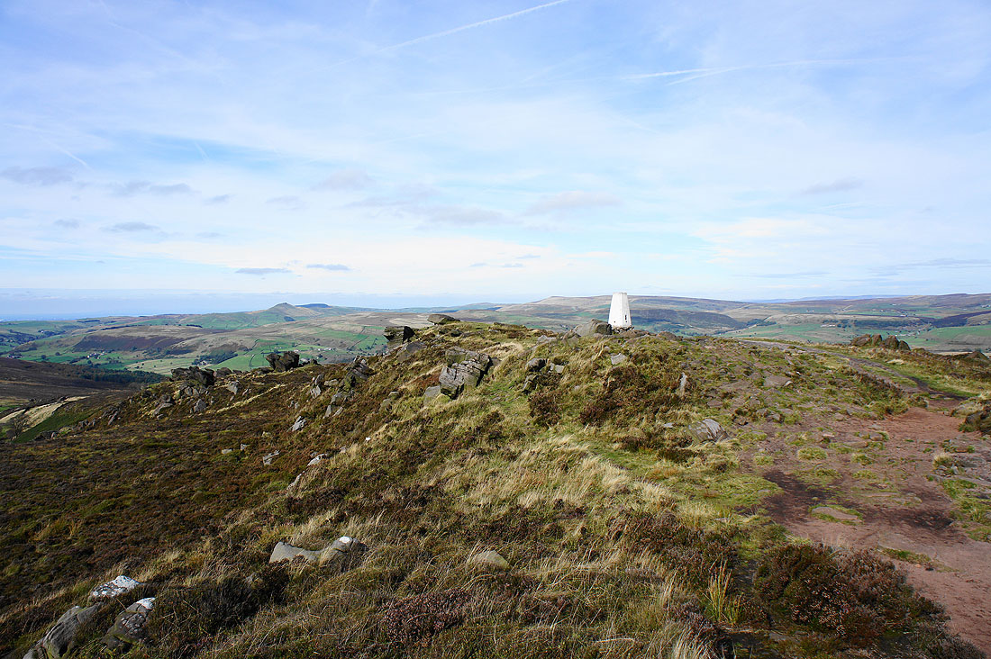
The trig point that marks the summit of The Roaches
The view west across the Dane Valley to The Cloud and Wincle Minn
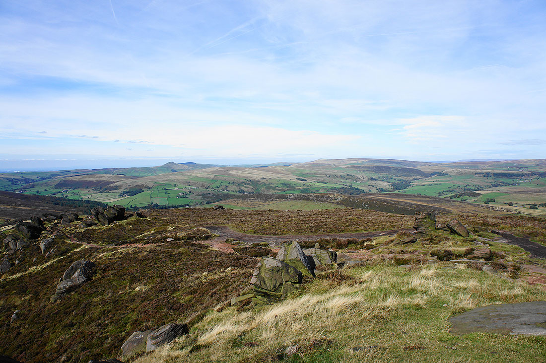
Looking north to Shutlingsloe and Axe Edge Moor
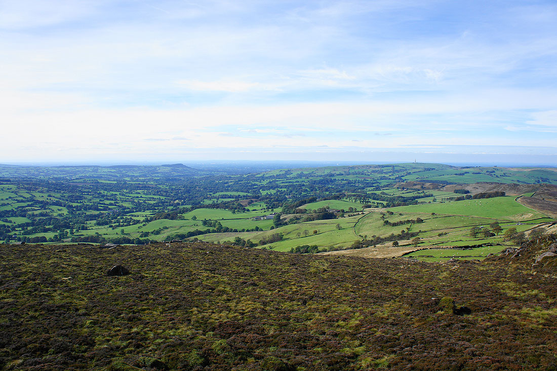
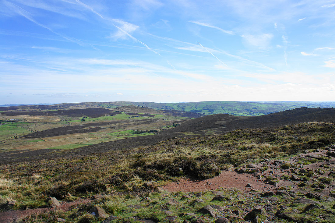
Wide open spaces across the moorland to the east
To the southeast are Ramshaw Rocks and Morridge
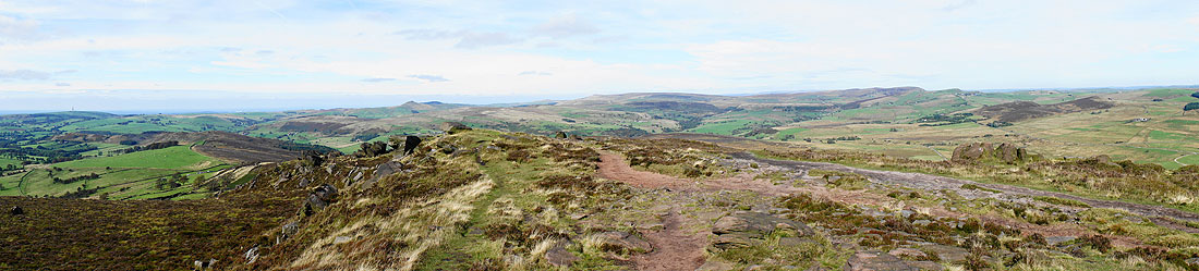
A panorama of the view to the north
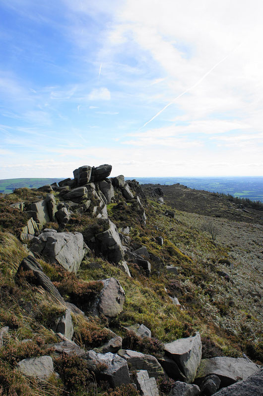
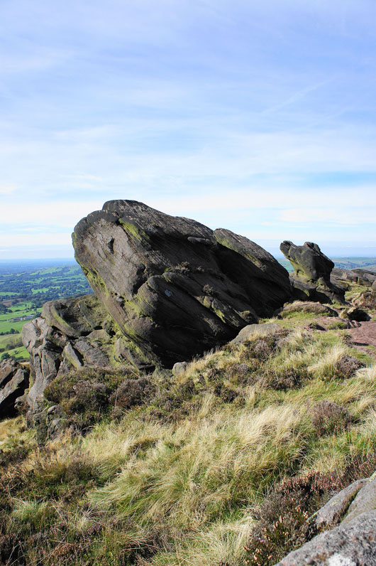
The start of the rocky crest of The Roaches
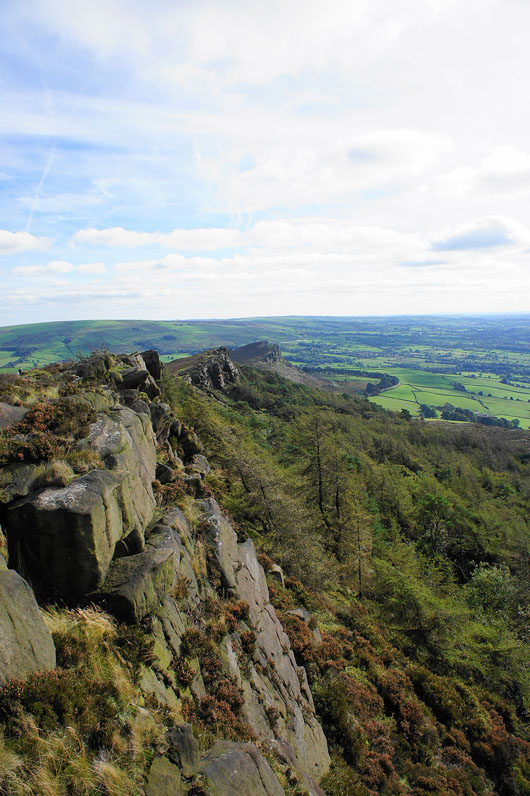
A dramatic view of the crags all the way along to Hen Cloud
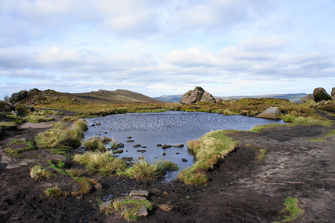
A windswept Doxey Pool
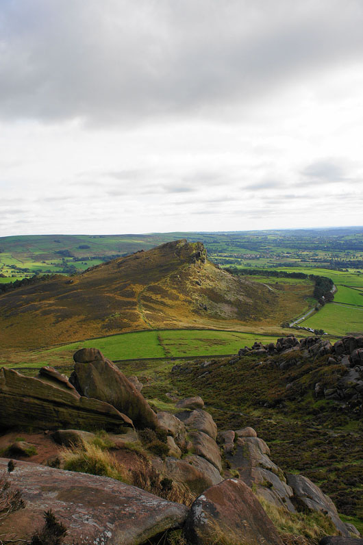
The descent at the end of The Roaches with Hen Cloud still to come
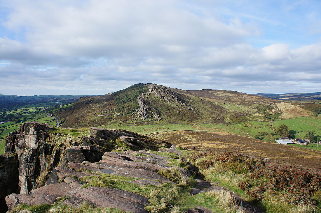
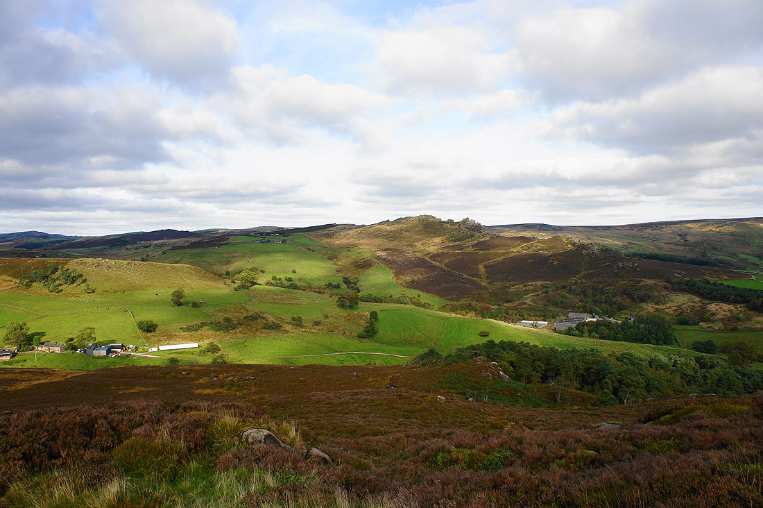
On the summit of Hen Cloud looking across at the crags on the southern end of The Roaches. There was quite a bit of climbing taking place on them as they have easy access from the road.
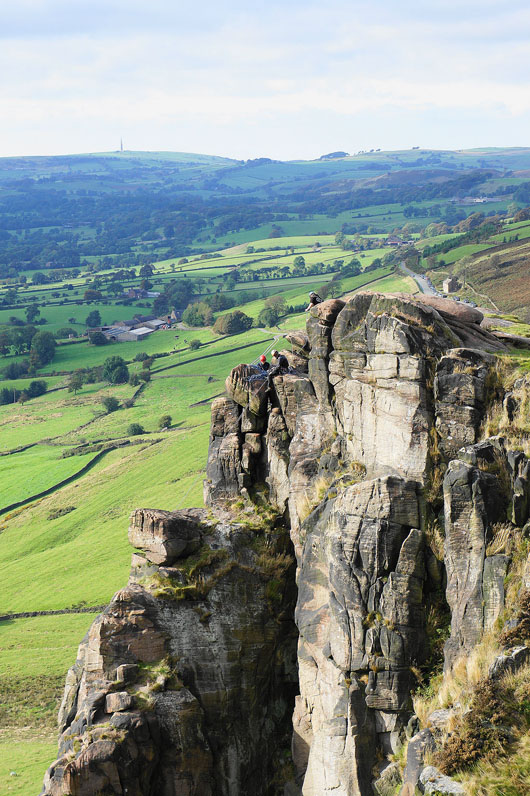
As does Hen Cloud
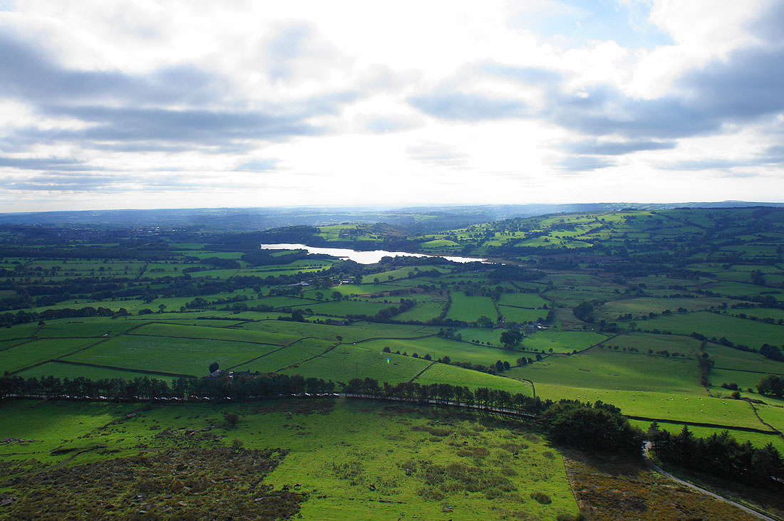
Tittesworth Reservoir
Ramshaw Rocks from Hen Cloud
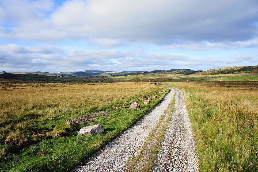
I backtracked from Hen Cloud and I'm now making my way back to Gradbach. At the end of this driveway from Summerhill I'll turn right and take to the road.
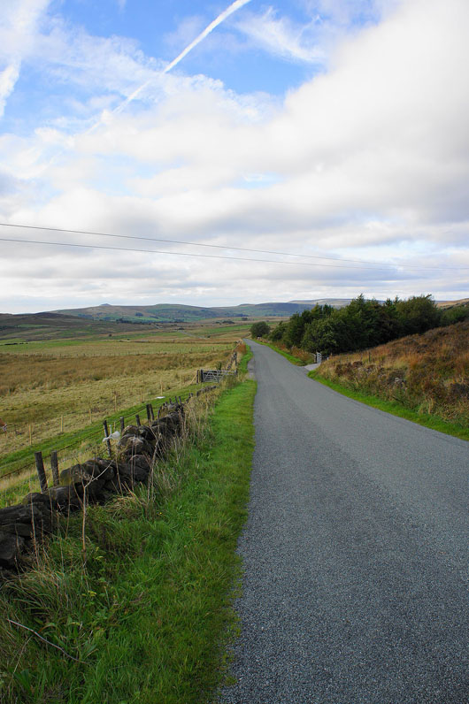
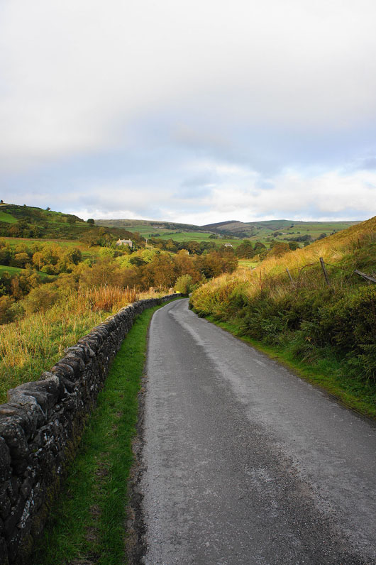
I don't enjoy road walking but sometimes it's the quickest way to make progress
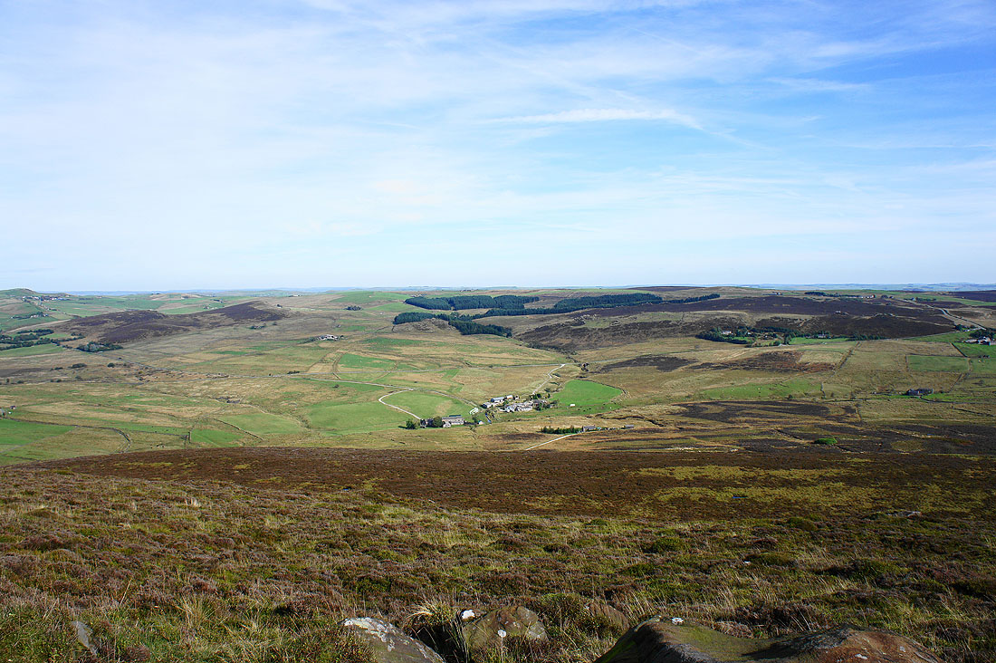
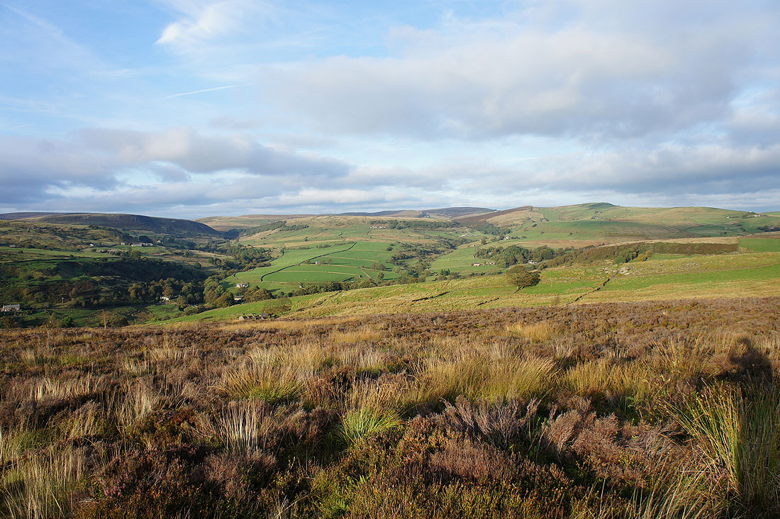
On Gradbach Hill. I could have left it out but its rocky crest looked quite inviting when I saw it earlier in the day. It's on access land and there's a concessionary path onto it as well. The view down into Gradbach, the Dane Valley and Forest Wood.
Across the Dane Valley are Birchenough Hill, Cut-thorn Hill and Three Shire Heads
Three Shire Heads, Turn Edge, Axe Edge and Wolf Edge
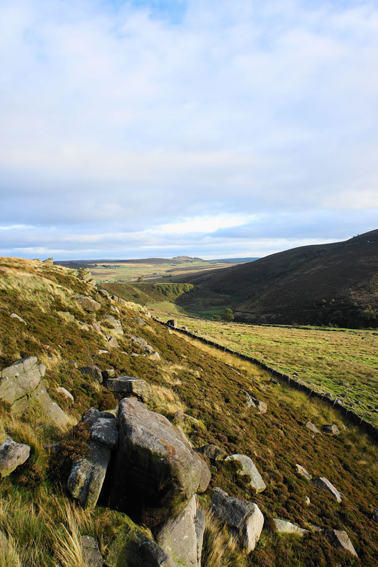
Looking back along the valley of Black Brook to the distant rocky crest of Ramshaw Rocks
Just a short downhill walk remains past the Youth Hostel to the car park