6th October 2019 - Pendle Hill
Walk Details
Distance walked: 7.0 miles
Total ascent: 1012 ft
OS map used: OL41 - Forest of Bowland & Ribblesdale
Time taken: 3.5 hrs
Route description: Nick of Pendle-Pendleton Moor-Ogden Clough-Pendle Hill-Downham Moor-Worston Moor-Scout Cairn-Mearley Moor-Pendleton Moor-Nick of Pendle
After having less than ideal weather for a walk up Pendle Hill last Friday I thought I'd try my luck again, the forecast is supposed to be better. I nearly had a repeat performance though. Although I knew that I stood a fair chance of getting caught in a shower, sod's law that it happened not long after I'd set off and I was on my way up Ogden Clough. The improvement in the weather was much better than it was on Friday though, and I was treated to some spectacular views as the cloud lifted and broke while I was on Downham Moor.
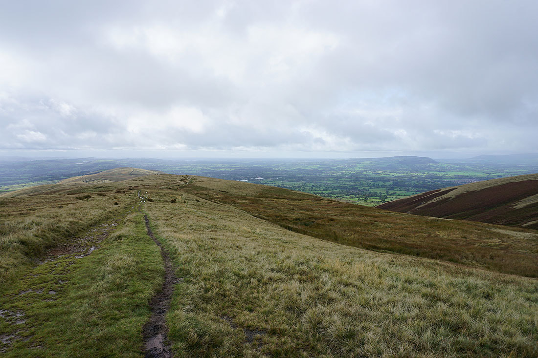
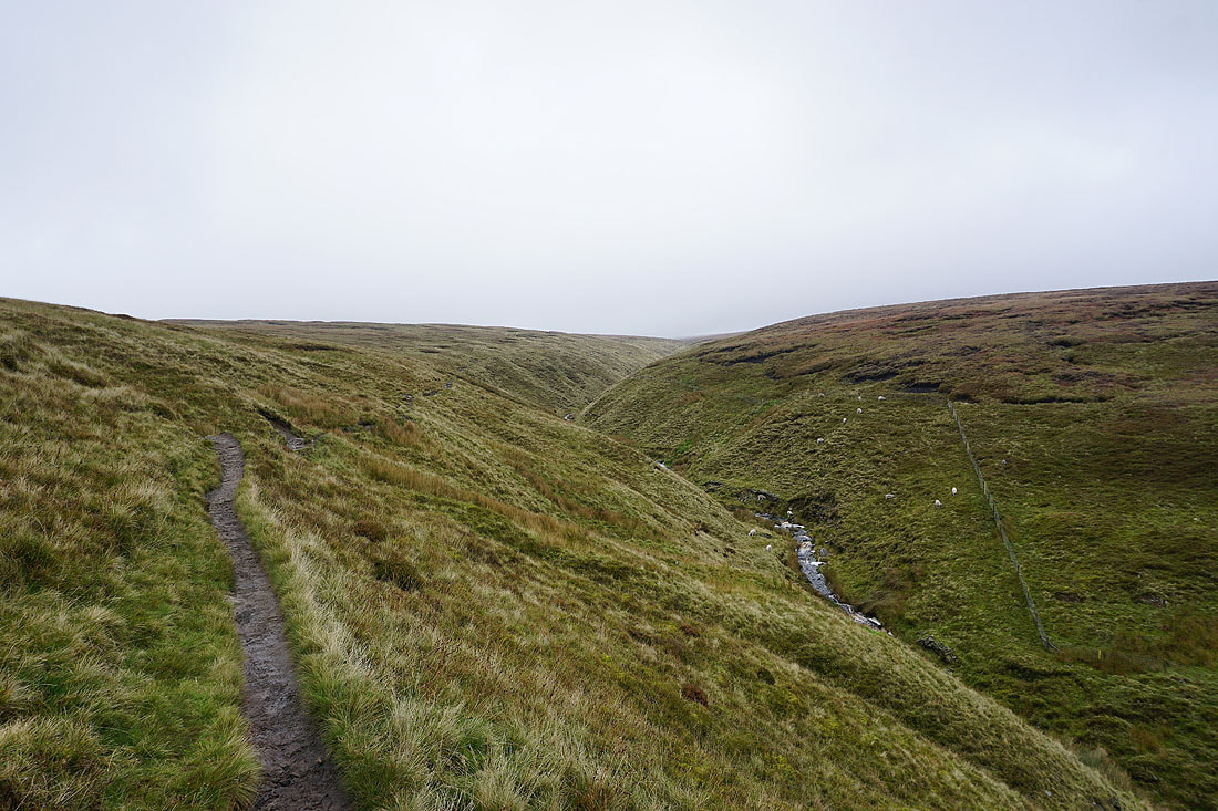
From my starting point at one of the laybys on the road across the Nick of Pendle I made my way up onto Pendleton Moor. I kept on the path as it made its way into Ogden Clough and followed it all the way up to the trig point and summit. I then crossed the stile onto Downham Moor, followed the path west, and crossed the stile onto Worston Moor to reach the Scout Cairn. I then walked across Mearley Moor before crossing the top of Howcroft Brook to pick up the path across Pendleton Moor back to the Nick of Pendle.
Total ascent: 1012 ft
OS map used: OL41 - Forest of Bowland & Ribblesdale
Time taken: 3.5 hrs
Route description: Nick of Pendle-Pendleton Moor-Ogden Clough-Pendle Hill-Downham Moor-Worston Moor-Scout Cairn-Mearley Moor-Pendleton Moor-Nick of Pendle
After having less than ideal weather for a walk up Pendle Hill last Friday I thought I'd try my luck again, the forecast is supposed to be better. I nearly had a repeat performance though. Although I knew that I stood a fair chance of getting caught in a shower, sod's law that it happened not long after I'd set off and I was on my way up Ogden Clough. The improvement in the weather was much better than it was on Friday though, and I was treated to some spectacular views as the cloud lifted and broke while I was on Downham Moor.
From my starting point at one of the laybys on the road across the Nick of Pendle I made my way up onto Pendleton Moor. I kept on the path as it made its way into Ogden Clough and followed it all the way up to the trig point and summit. I then crossed the stile onto Downham Moor, followed the path west, and crossed the stile onto Worston Moor to reach the Scout Cairn. I then walked across Mearley Moor before crossing the top of Howcroft Brook to pick up the path across Pendleton Moor back to the Nick of Pendle.
Route map
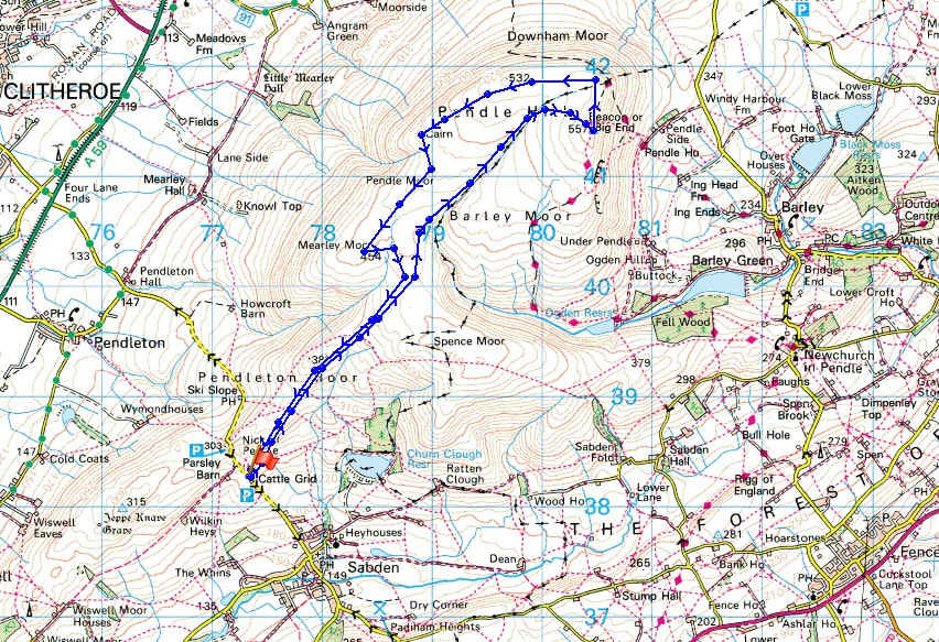
© Crown copyright. All rights reserved. License number PU 100034184.
Looking across the Ribble Valley to Clitheroe and the Forest of Bowland from the Nick of Pendle
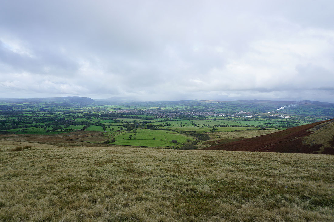
Longridge Fell, Clitheroe and the Ribble Valley
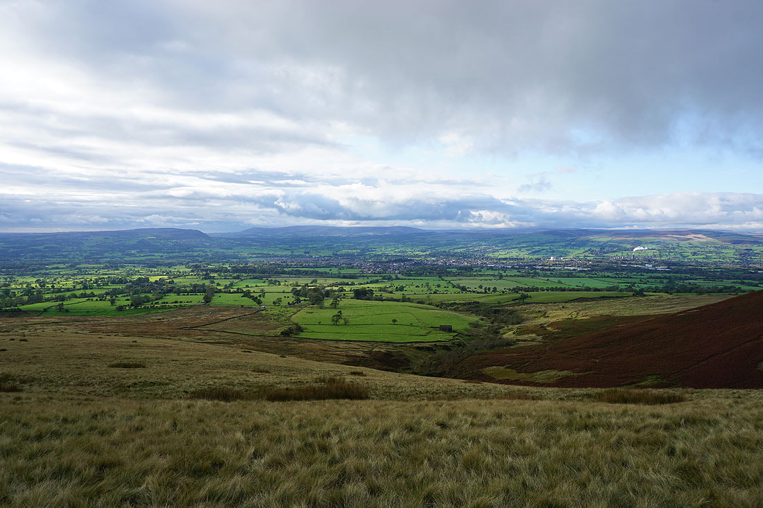
Sabden below Black Hill with the West Pennine Moors in the distance
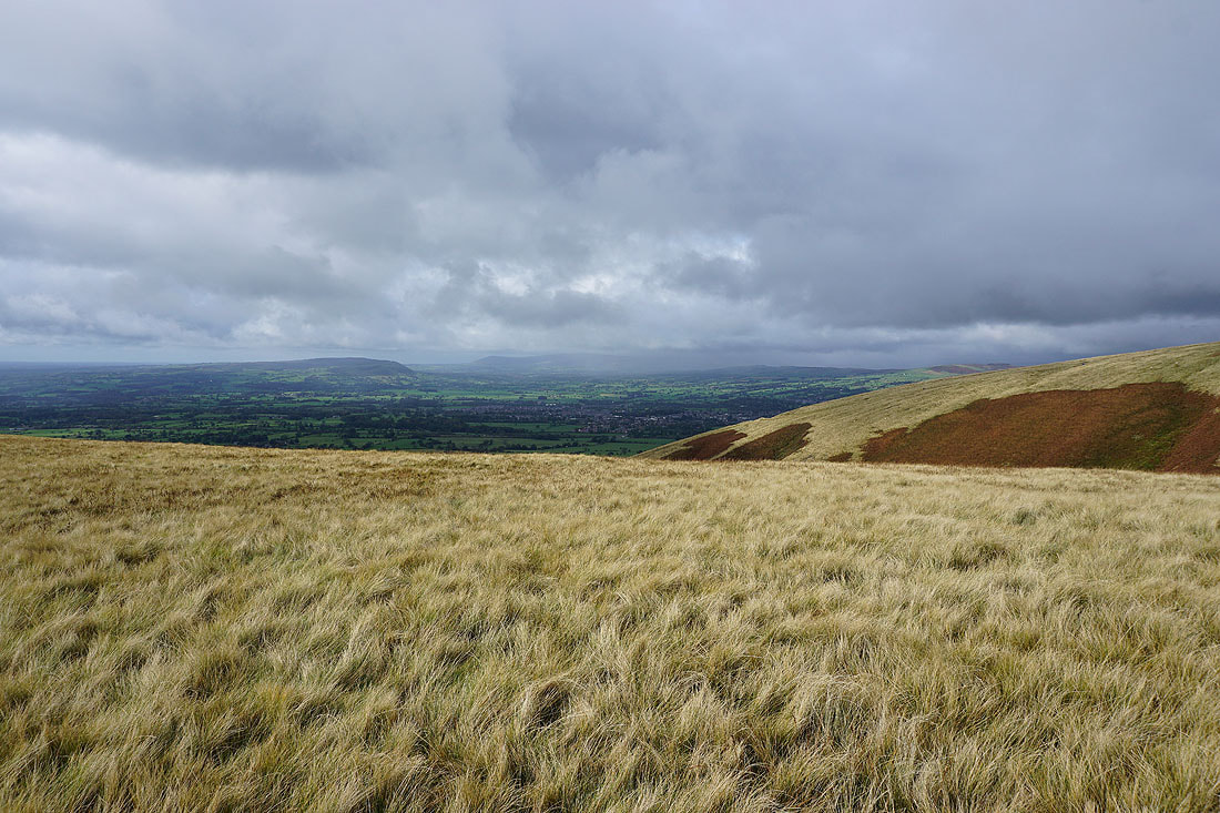
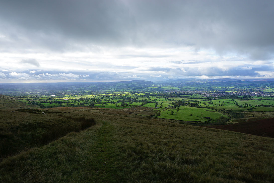
Longridge Fell and Clitheroe from Pendleton Moor
Dark clouds over Mearley Moor
Looking back to the Nick of Pendle and down the Ribble Valley
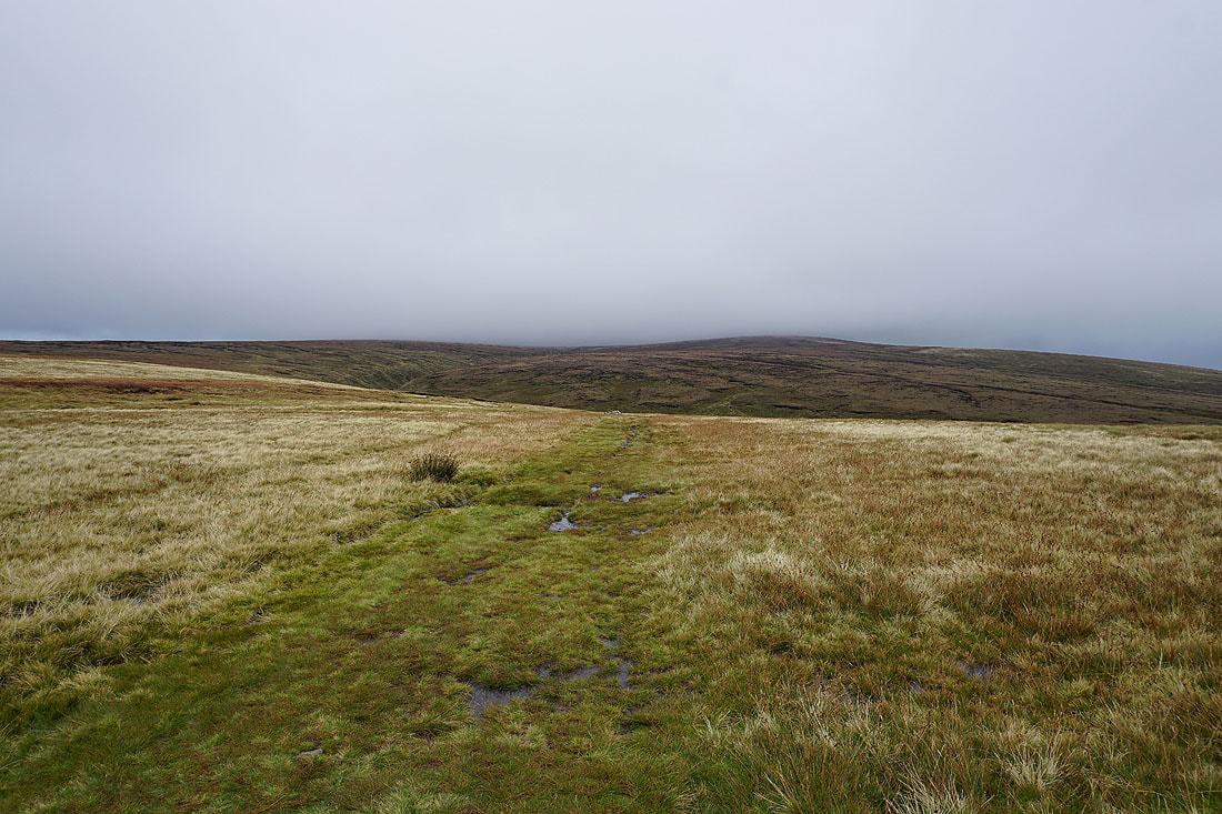
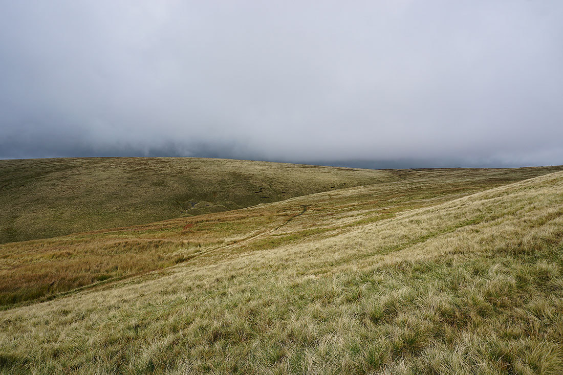
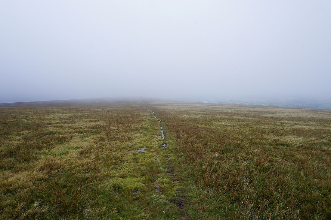
The summit of Pendle Hill ahead as I head for Ogden Clough. Things don't look too promising.
On the path up Ogden Clough
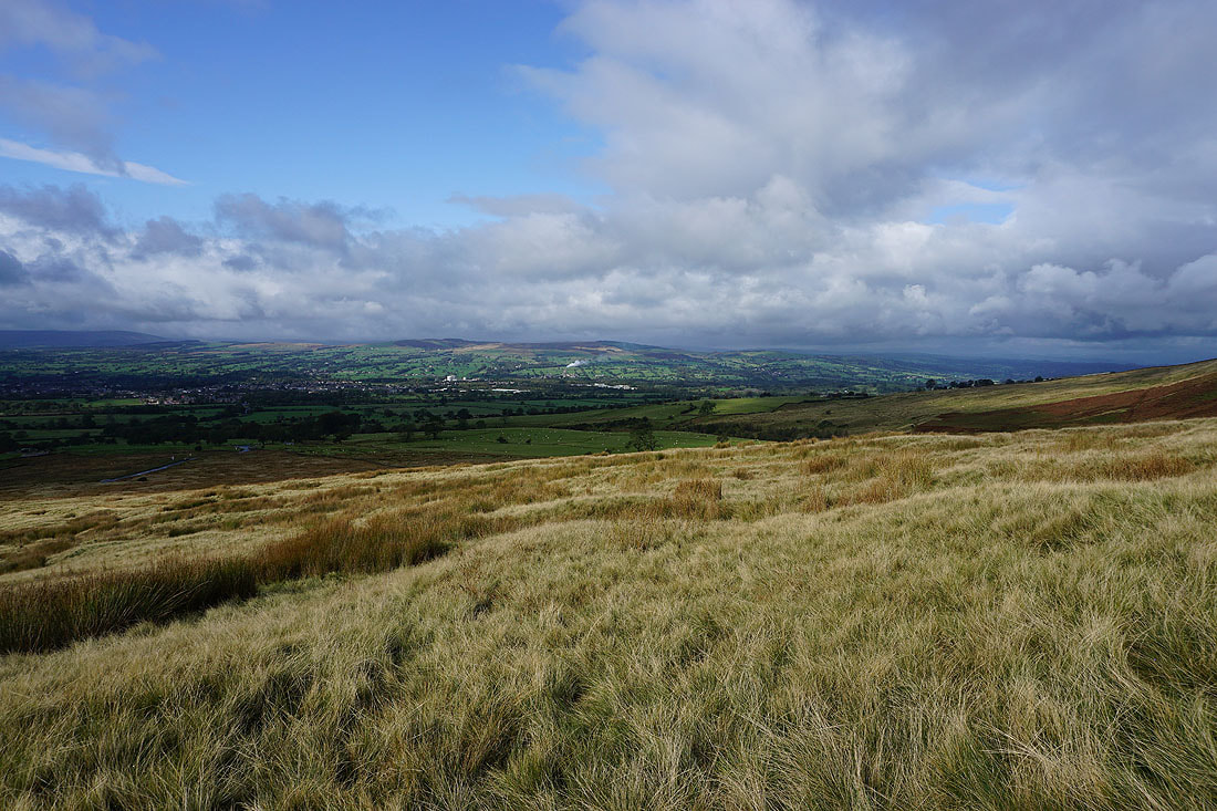
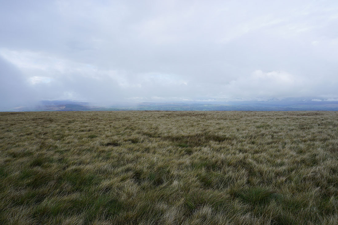
Spence Moor in sunshine before I lose the view
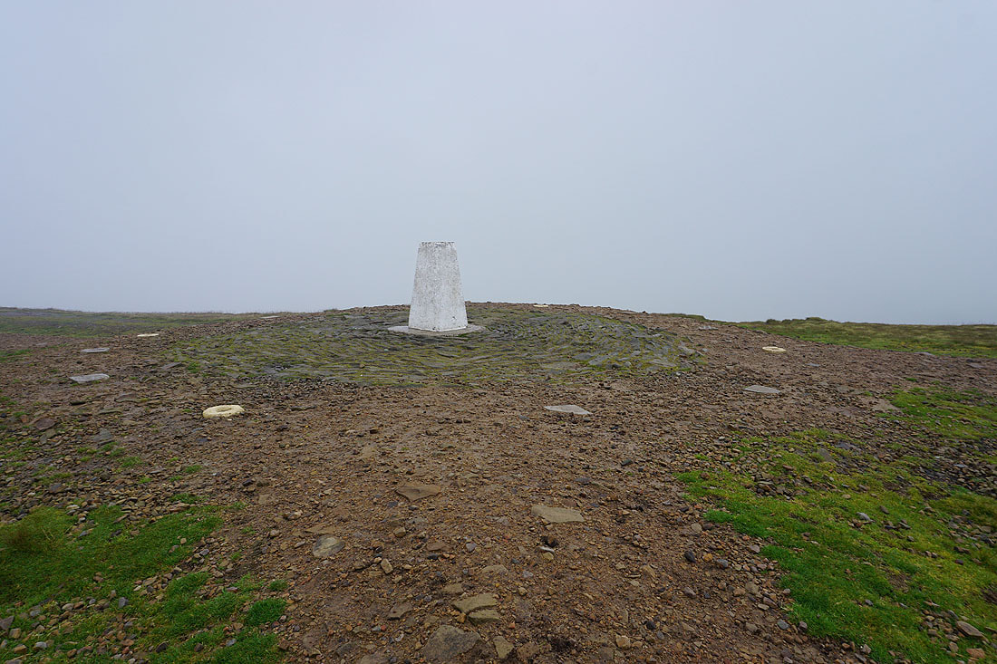
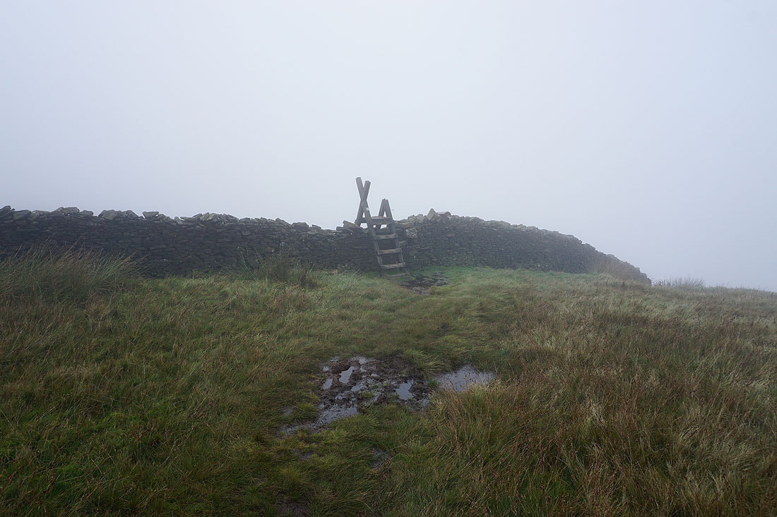
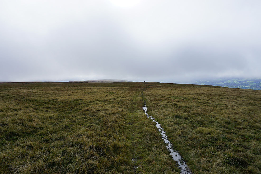
No view from the trig point again
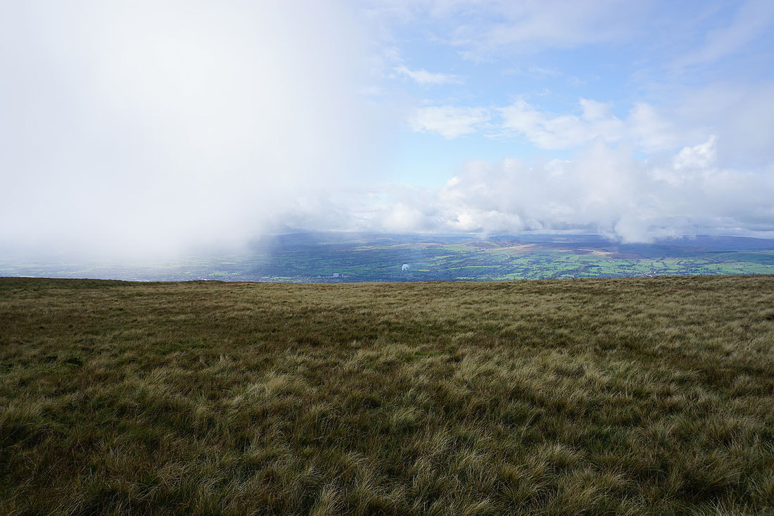
I stopped for a break at the wall seating after visiting the trig point and it's decided to brighten up a bit. Downham Moor with the Forest of Bowland in the distance.
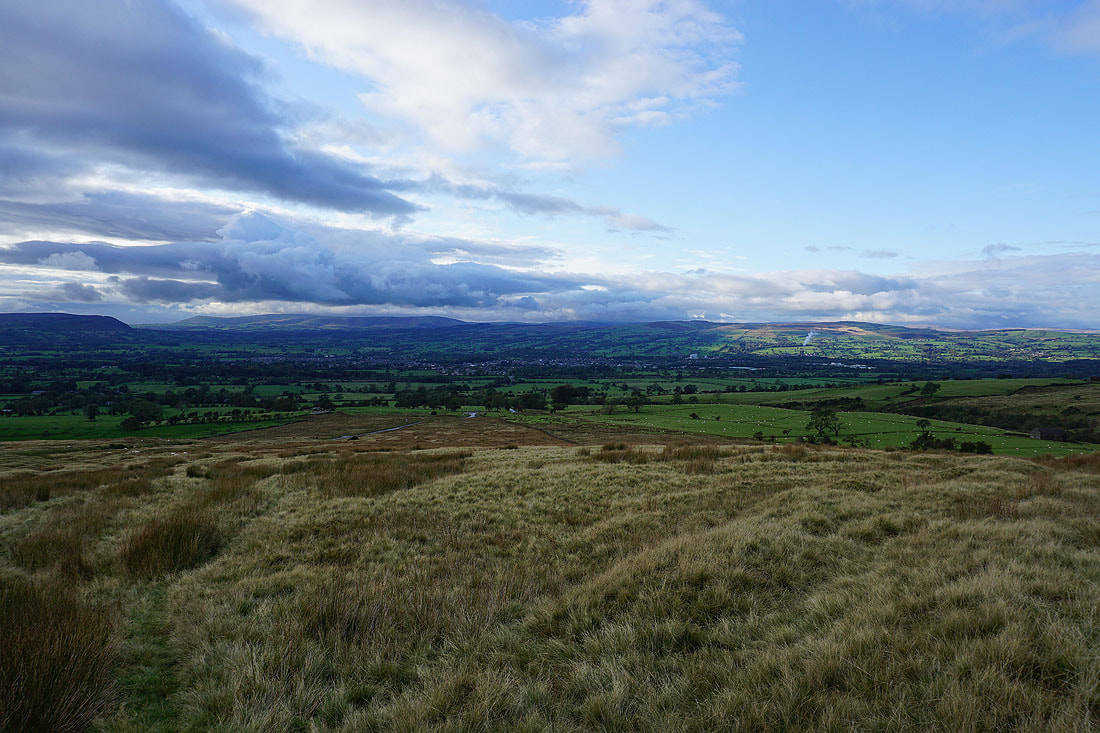
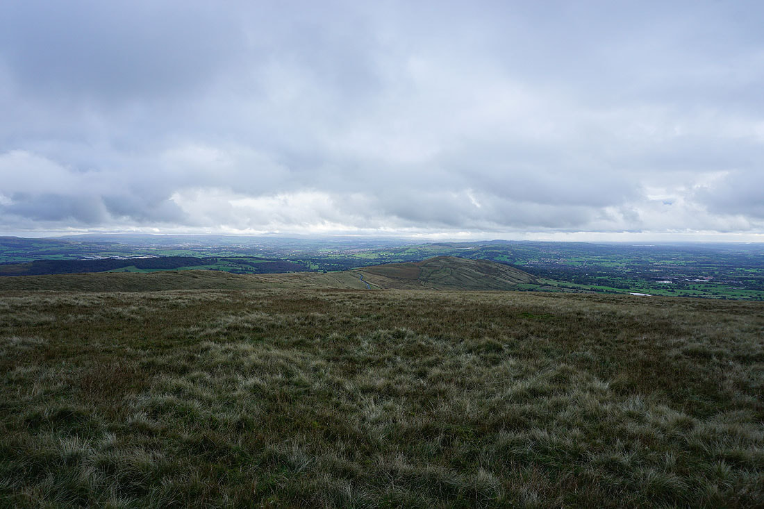
The Ribble Valley and east to Weets Hill..
Wheathead Height, Stang Top Moor and the Black Moss Reservoirs
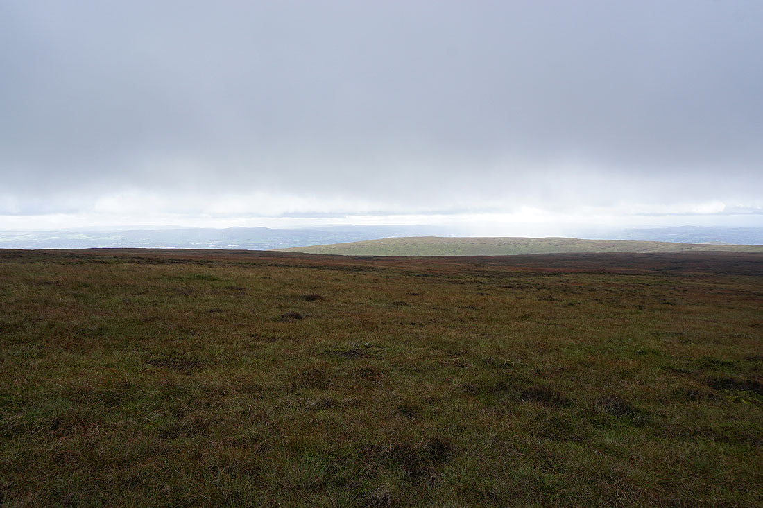
Heading across Downham Moor and the mist descends again
Glimpses of a more distant view
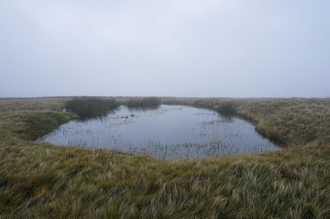
No view at the pool on Downham Moor
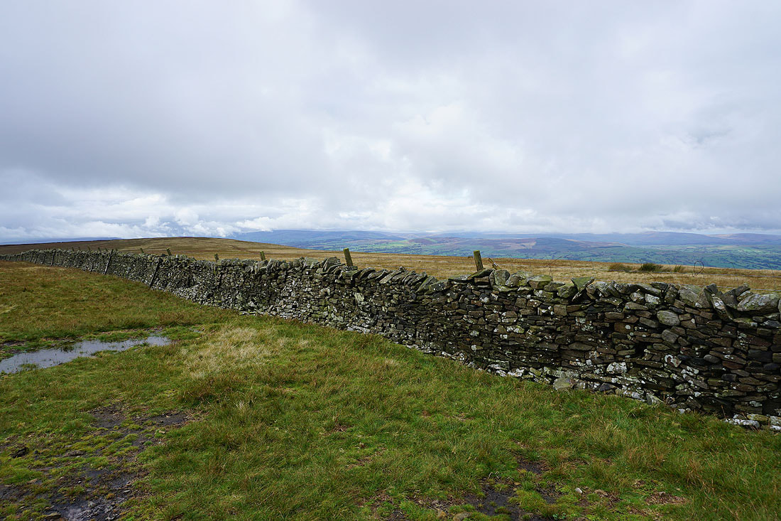
The stile over the wall onto Worston Moor has seen better days
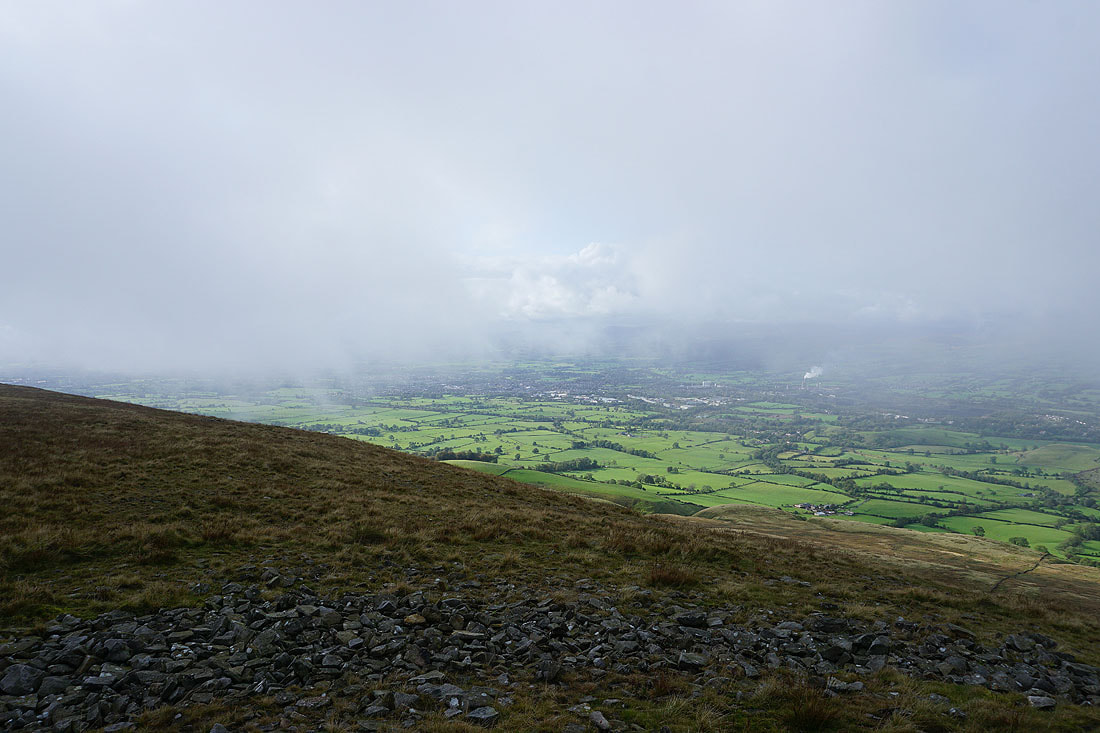
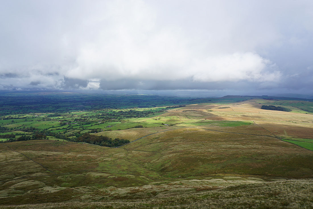
As I head west across Worston Moor to the Scout Cairn the cloud gradually lifts and breaks to reveal the view across the Ribble Valley to the Forest of Bowland, and towards the Yorkshire Dales.......
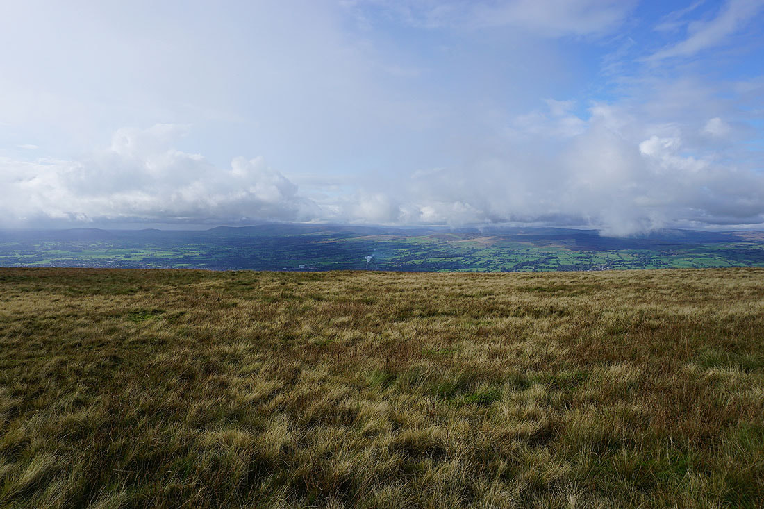
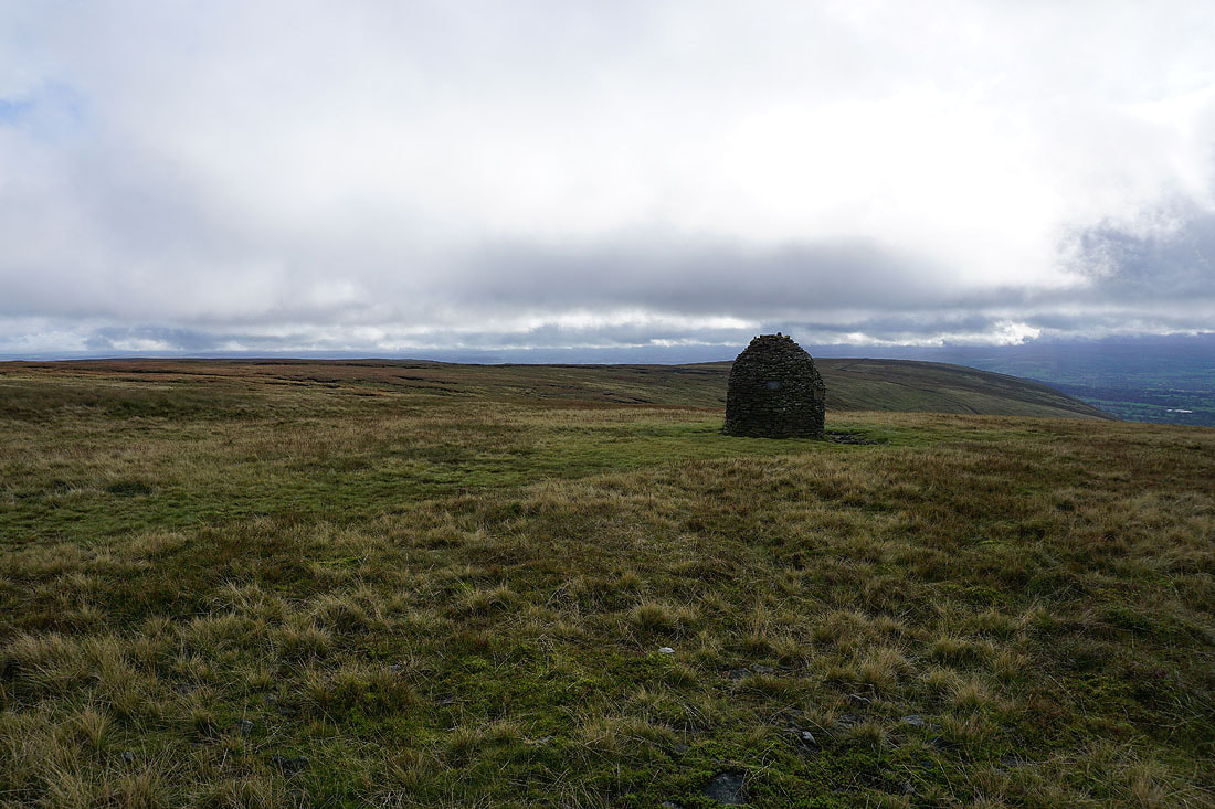
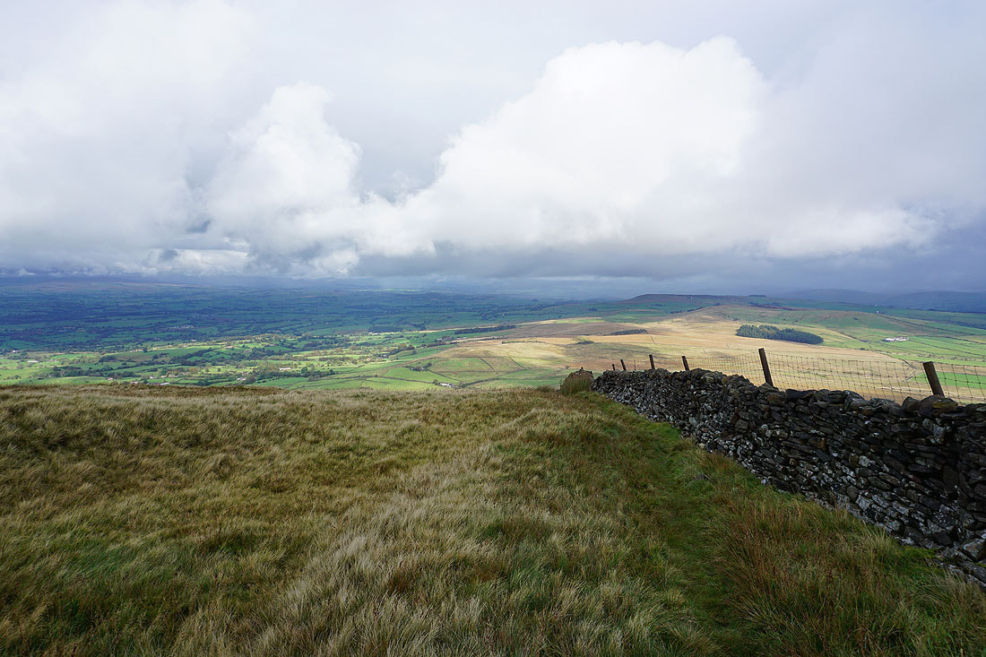
Mearley Moor from the Scout Cairn
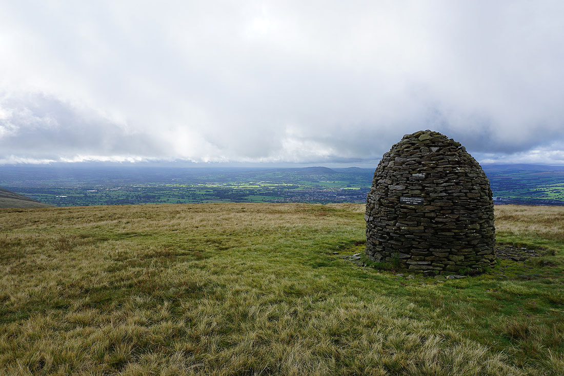
and the Ribble Valley
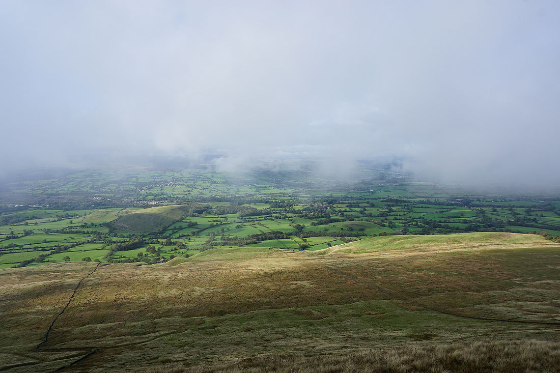
Looking across the Ribble Valley to the Forest of Bowland from Mearley Moor
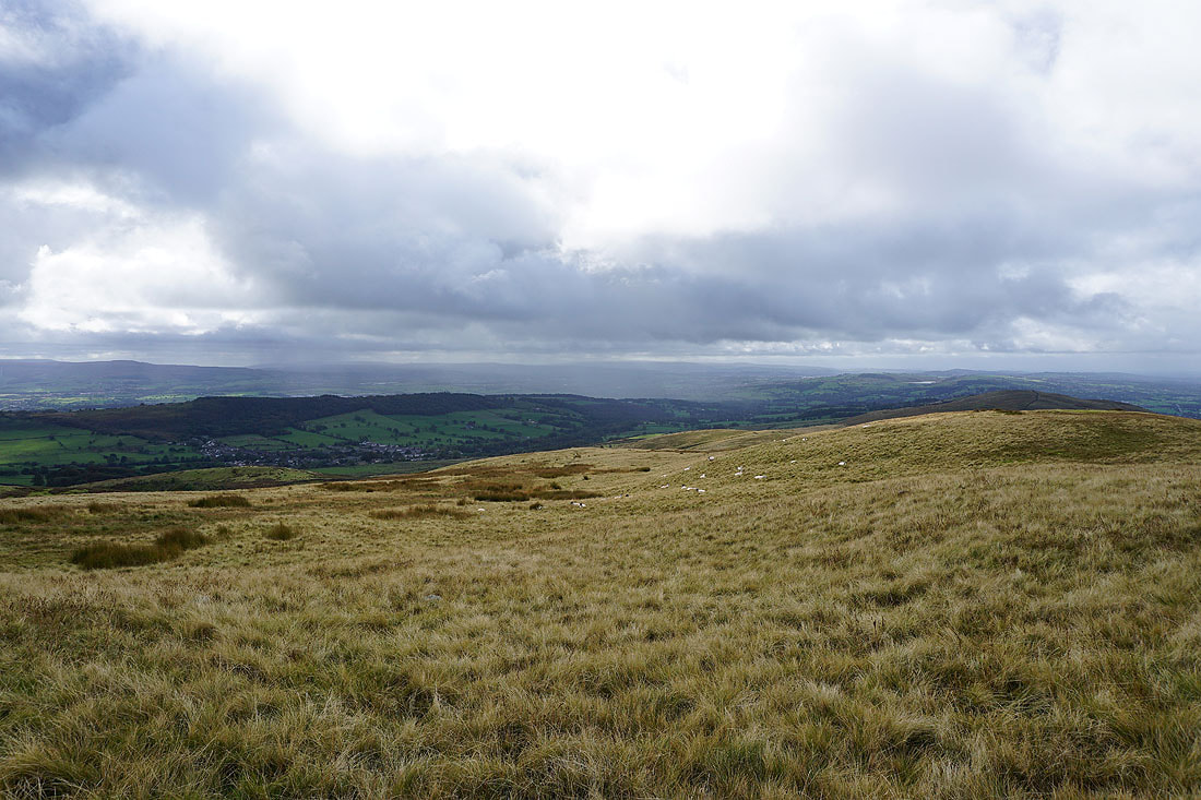
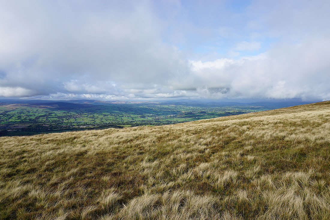
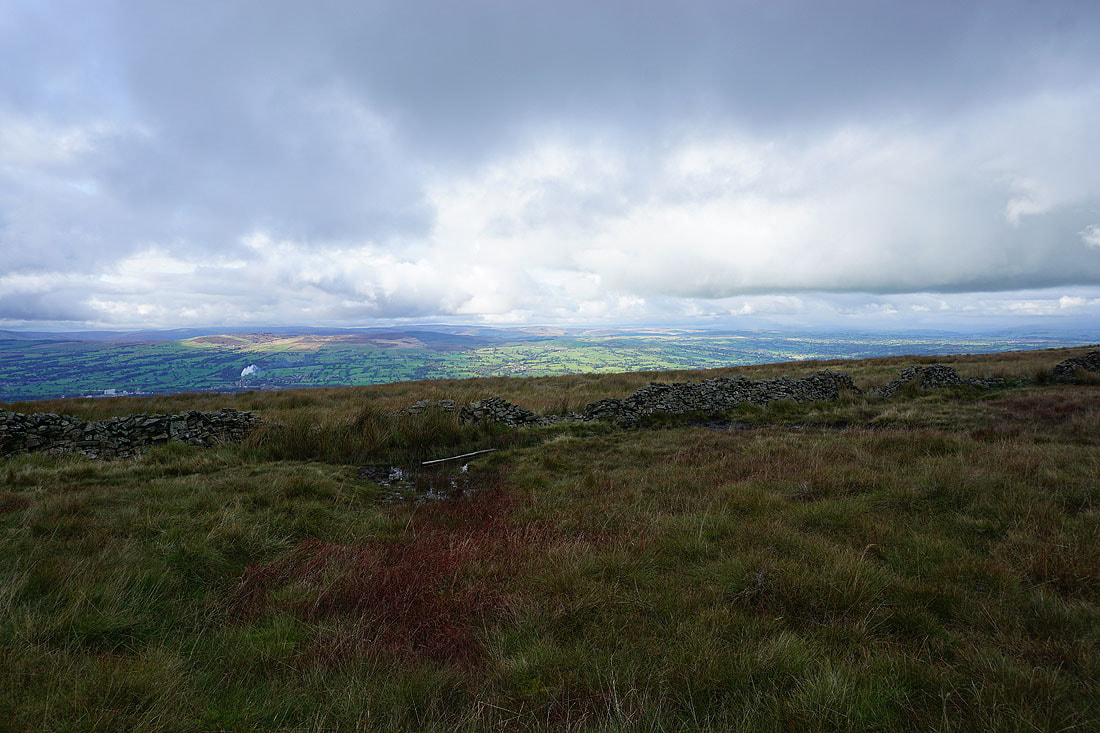
Clitheroe, Easington Fell and the Ribble Valley from the western end of Mearley Moor
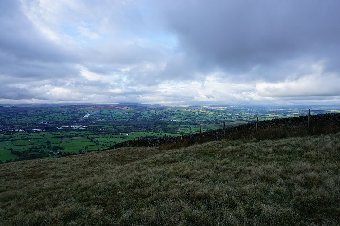
Looking across Pendleton Moor and the Nick of Pendle to the West Pennine Moors in the distance
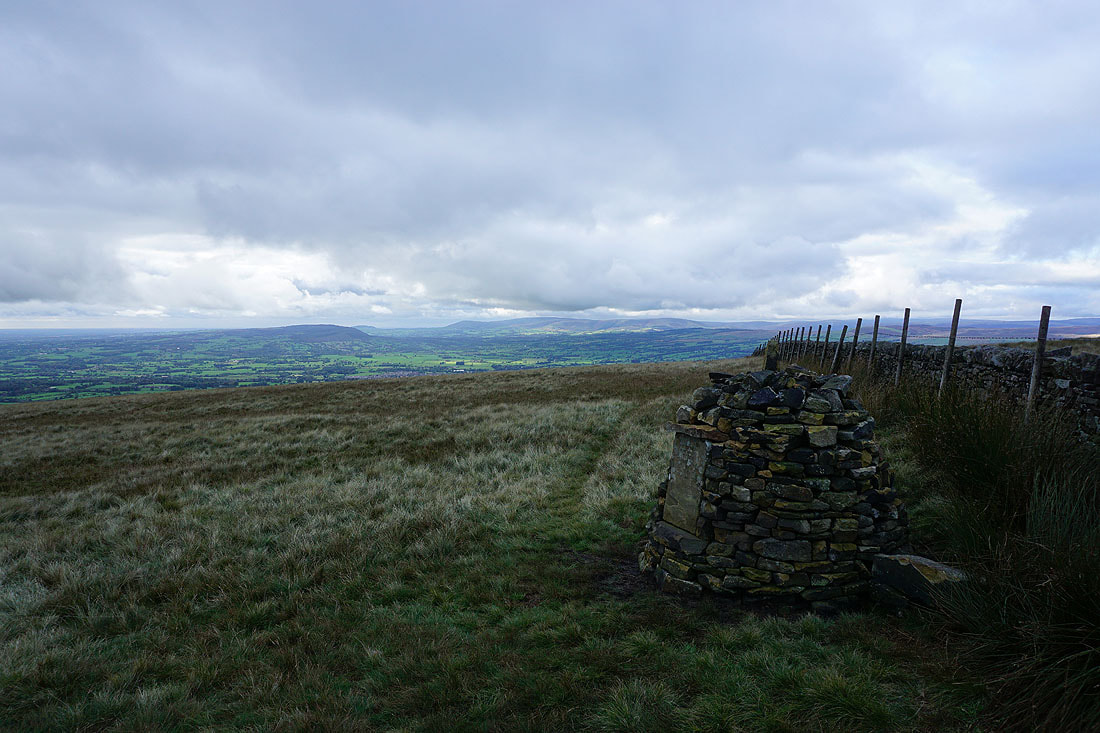
Longridge Fell, Parlick, Fair Snape Fell and Totridge from the Clayton-le-Moors Harriers cairn
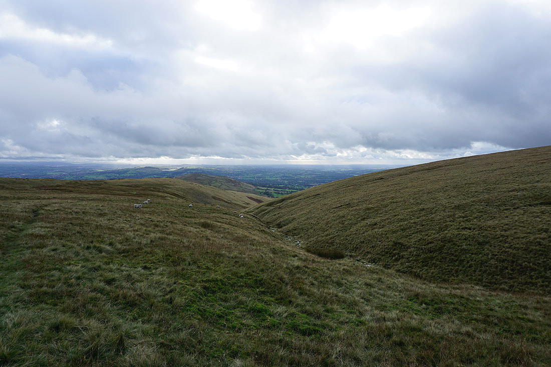
Crossing the top of Howcroft Brook
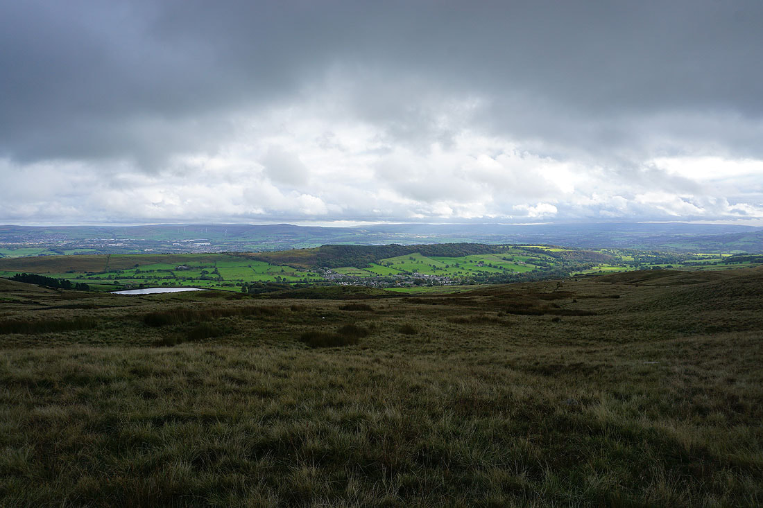
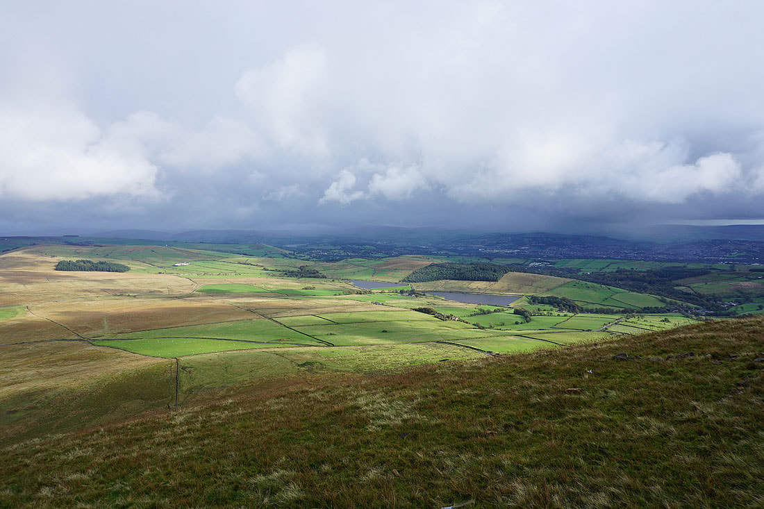
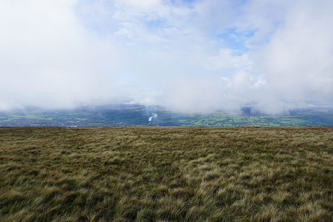
Churn Clough Reservoir with Sabden below Black Hill, with Great Hameldon and the West Pennine Moors in the distance
Views of the Ribble Valley and the Forest of Bowland as I head back down to the layby below the Nick of Pendle...