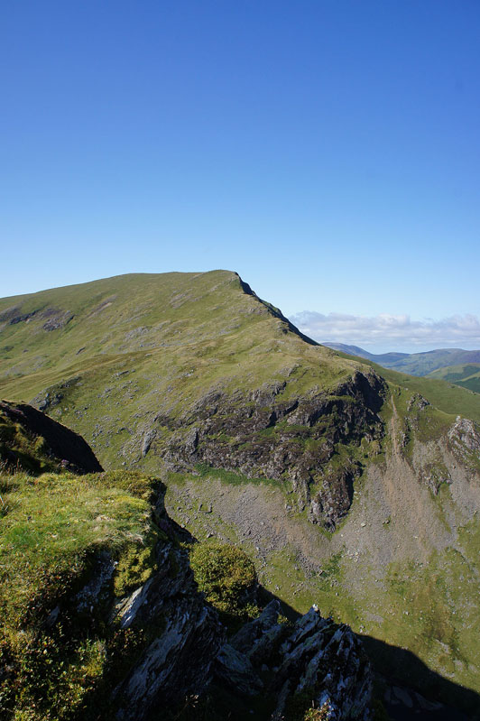
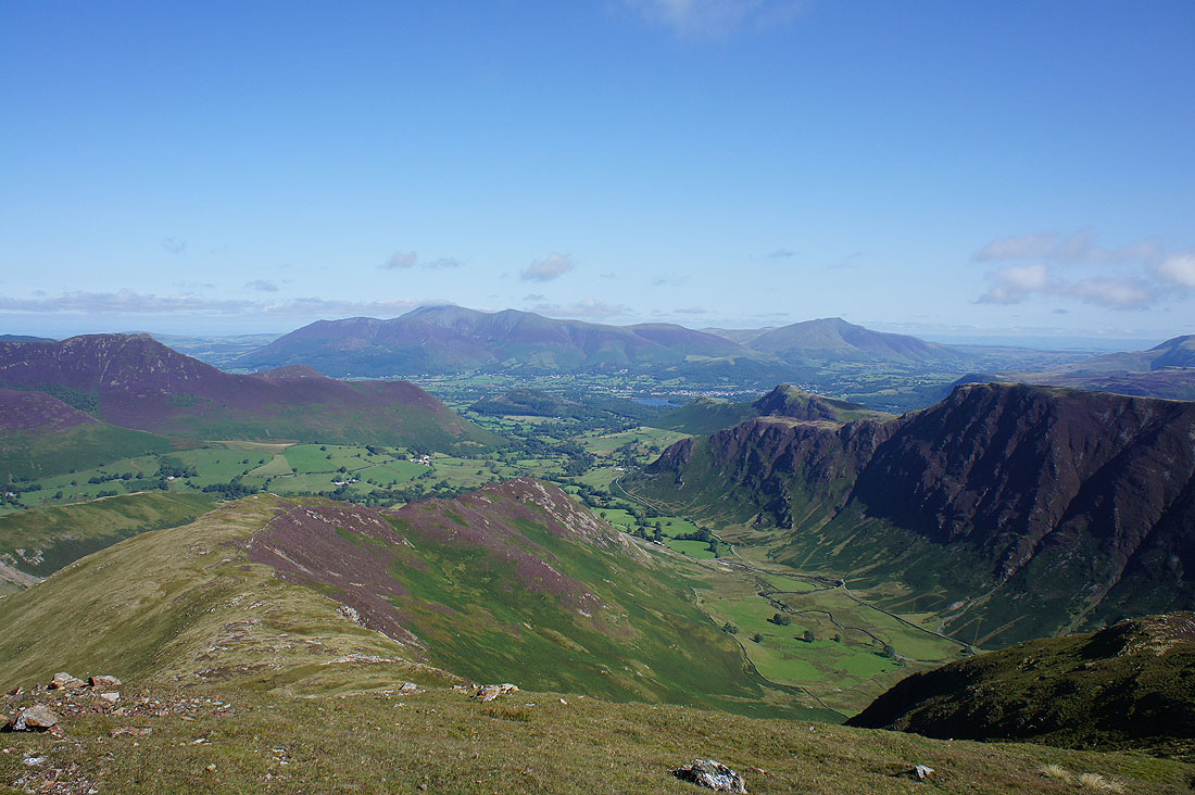
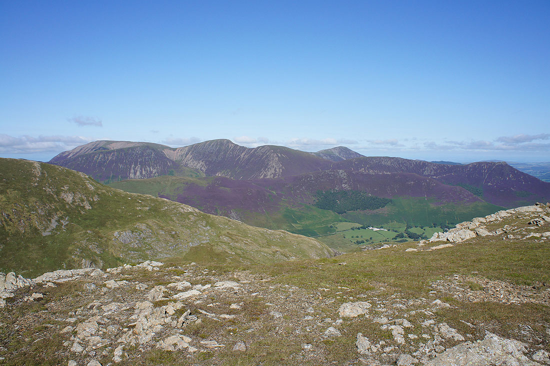
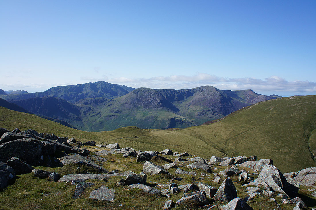
6th September 2015 - The Newlands fells, Knott Rigg & Ard Crags
Walk Details
Distance walked: 10.8 miles
Total ascent: 4074 ft
OS map used: OL4 - The English Lakes, Northwestern area
Time taken: 8 hrs
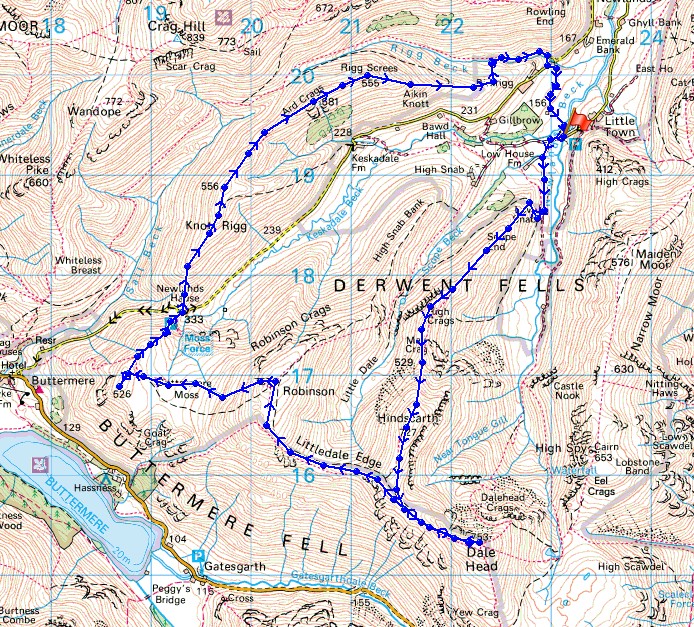
Route description: Chapel Bridge-Newlands Church-Low Snab Farm-Scope End-Hindscarth-Hindscarth Edge-Dale Head-Hindscarth Edge-Littledale Edge-Robinson-High Snockrigg-Newlands Hause-Knott Rigg-Ard Crags-Rigg Beck-Chapel Bridge
After the long drive up from home to this part of the Lakes I've arrived in the Newlands valley for the first day of a weeks holiday. Since I booked this time off a few weeks ago I've really been looking forward to walking in this area again. It's been four or five years since I was last on many of the summits around here and the walks I have planned will take in quite a few of them and they'll all count towards a second round. The forecast for the week is for dry and settled weather (I got lucky there), and today is no exception. Sunny spells with a cool breeze high up and more in the way of cloud during the afternoon.
From the car park at Chapel Bridge below Little Town I set off along the road to Newlands Church and then up the drive to Low Snab Farm. Once through the farmyard I made my way up onto the ridge of Scope End which I followed to the summit of Hindscarth. I then took the path along Hindscarth Edge to the next summit of the day, Dale Head. After taking lunch, back along Hindscarth Edge and then along Littledale Edge to Robinson. From Robinson I made my way down to and across Buttermere Moss to reach the top of High Snockrigg and then there was a steep descent to the road at Newlands Hause. The ascent from the road to Knott Rigg was hard work but there was then an easy walk along the ridge to the final summit of the day, Ard Crags. I then had to make my way down Aikin Knott and then across Rigg Beck to reach the path to the road at the disused quarry at Rigg Beck. A short walk along the road and I was back at Chapel Bridge.
Route map
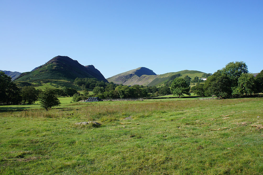
As I set off my route of ascent Scope End, and the third summit of the day Robinson are in view
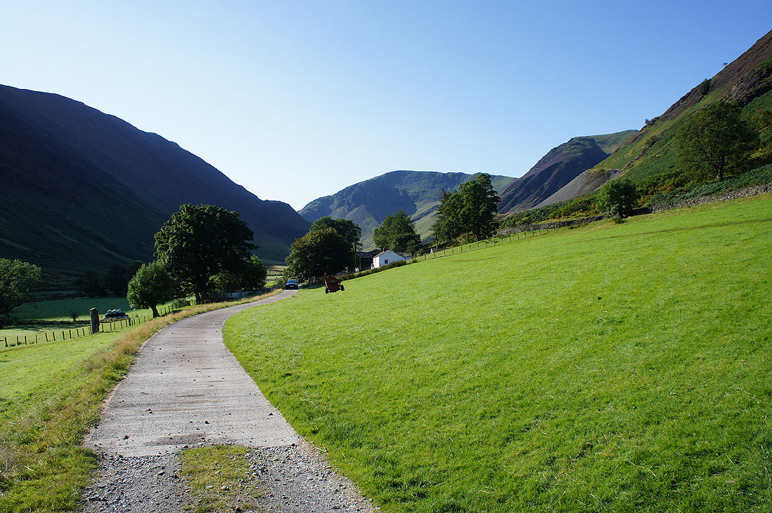
Dale Head at the head of the Newlands valley as I approach Low Snab Farm
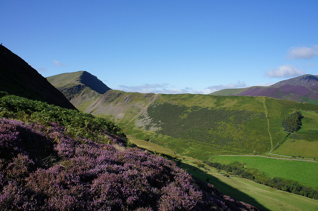
High Snab Bank on the other side of Scope Beck as I head up Scope End
I think I might be pausing and turning round on a regular basis to take in the improving view to Skiddaw and Blencathra
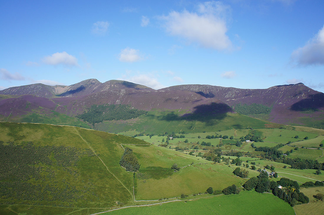
Other northwestern fells. Wandope, Eel Crag, Sail, Scar Crags and Causey Pike. The heather is looking great.
This is definitely the best way up Hindscarth
Another look back
The neighbouring fell of Robinson
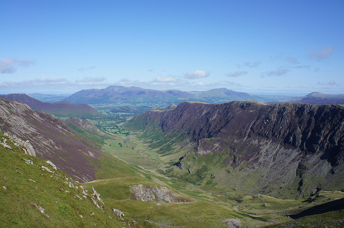
The great view down the Newlands valley as I reach the shelter cairn at the northern edge of the summit
Grasmoor, Eel Crag, Sail, Grisedale Pike, Scar Crags and Causey Pike. My last two fells of Knott Rigg and Ard Crags are there as well, though it's hard to make them out.
Haystacks, High Crag, High Stile and Red Pike with Pillar in the background
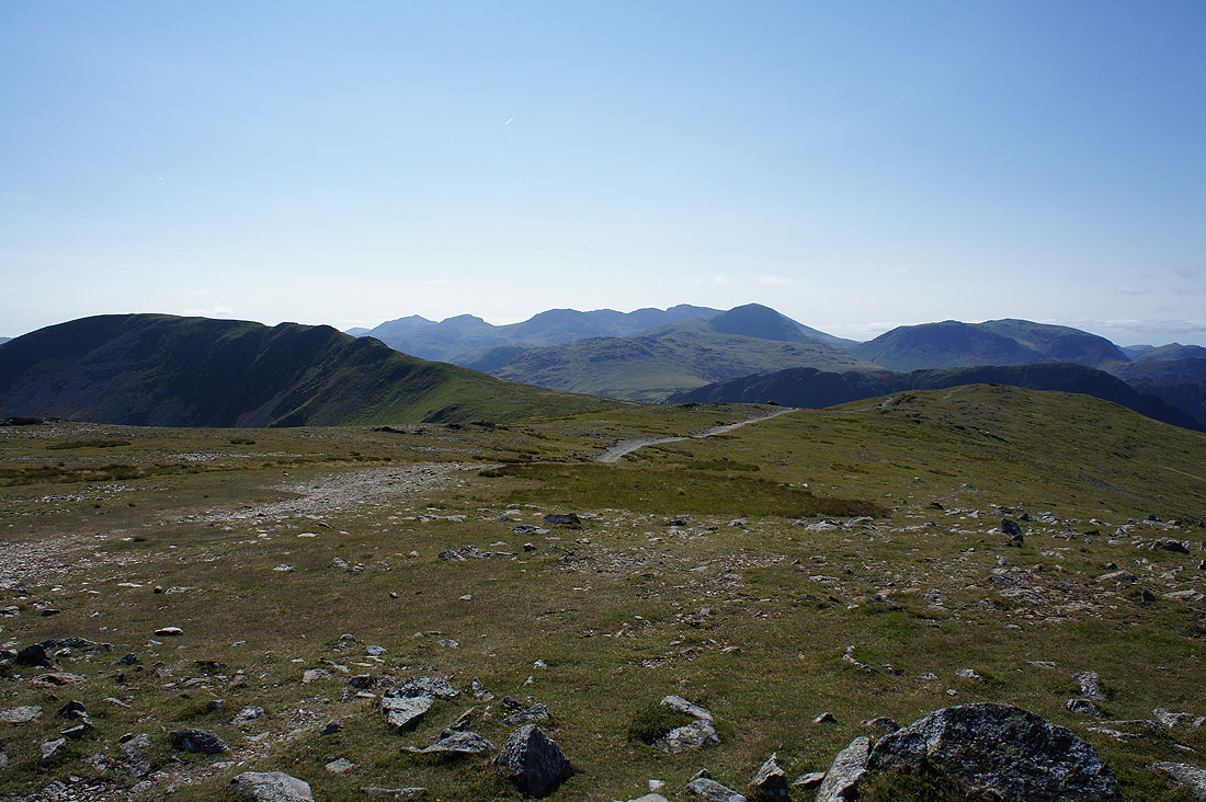
My next summit Dale Head on the left, with Bowfell, Esk Pike, the Scafells, Great Gable and Kirk Fell in the distance
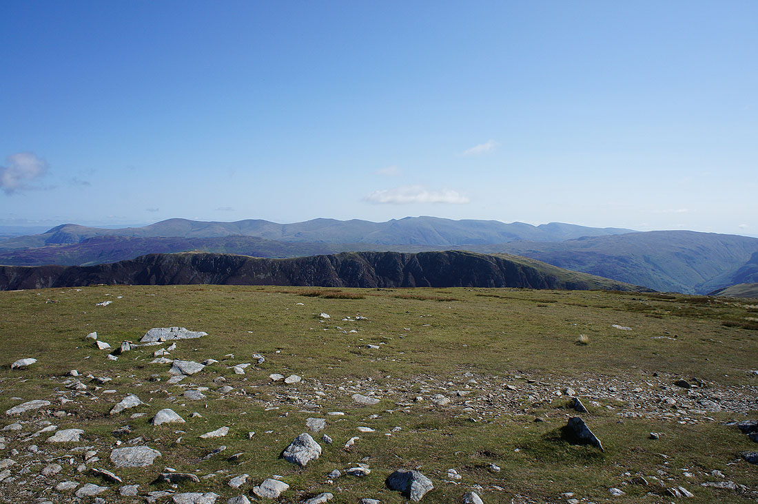
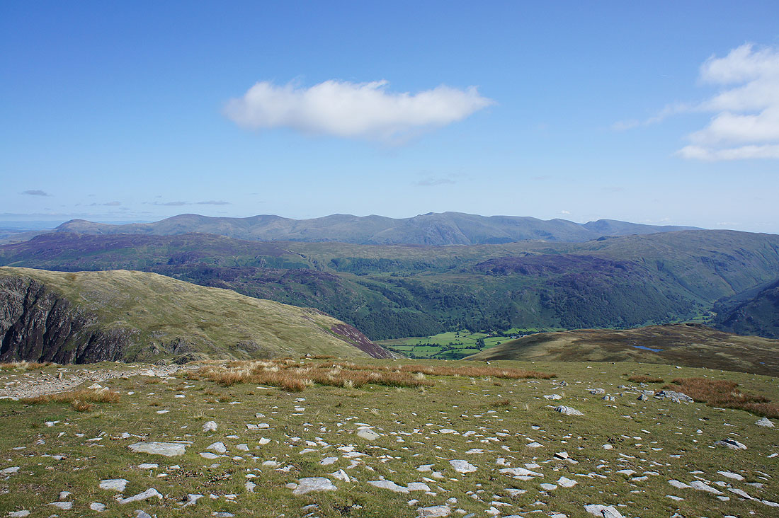
Eel Crags on the western flank of the Maiden Moor to High Spy ridge with the Helvellyn range beyond
The view to Skiddaw and Blencathra isn't as good from here
Eel Crags look great as I make my way along Hindscarth Edge to Dale Head
As does the view down the Newlands valley
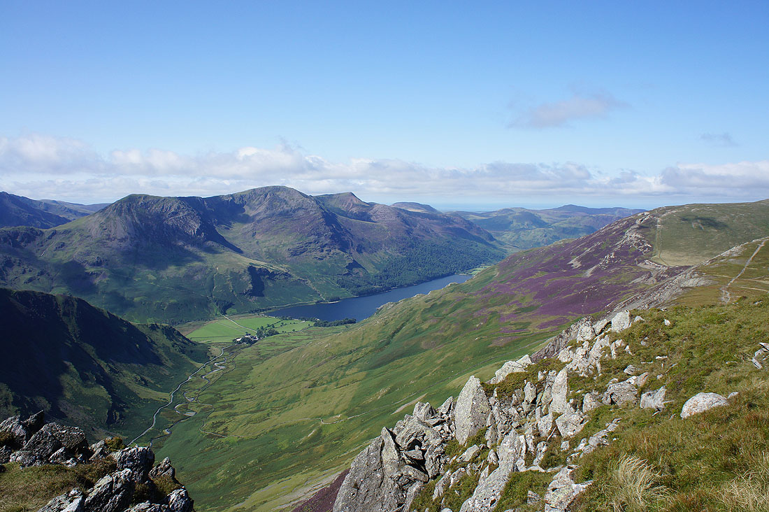
I wandered over to the Honister side of the edge to get this shot of Buttermere below the High Stile ridge
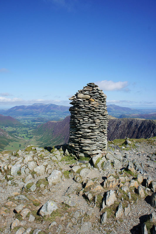
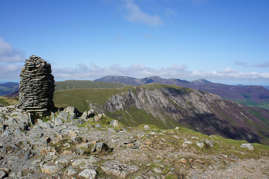
The impressive cairn on the summit of Dale Head
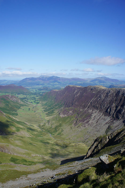
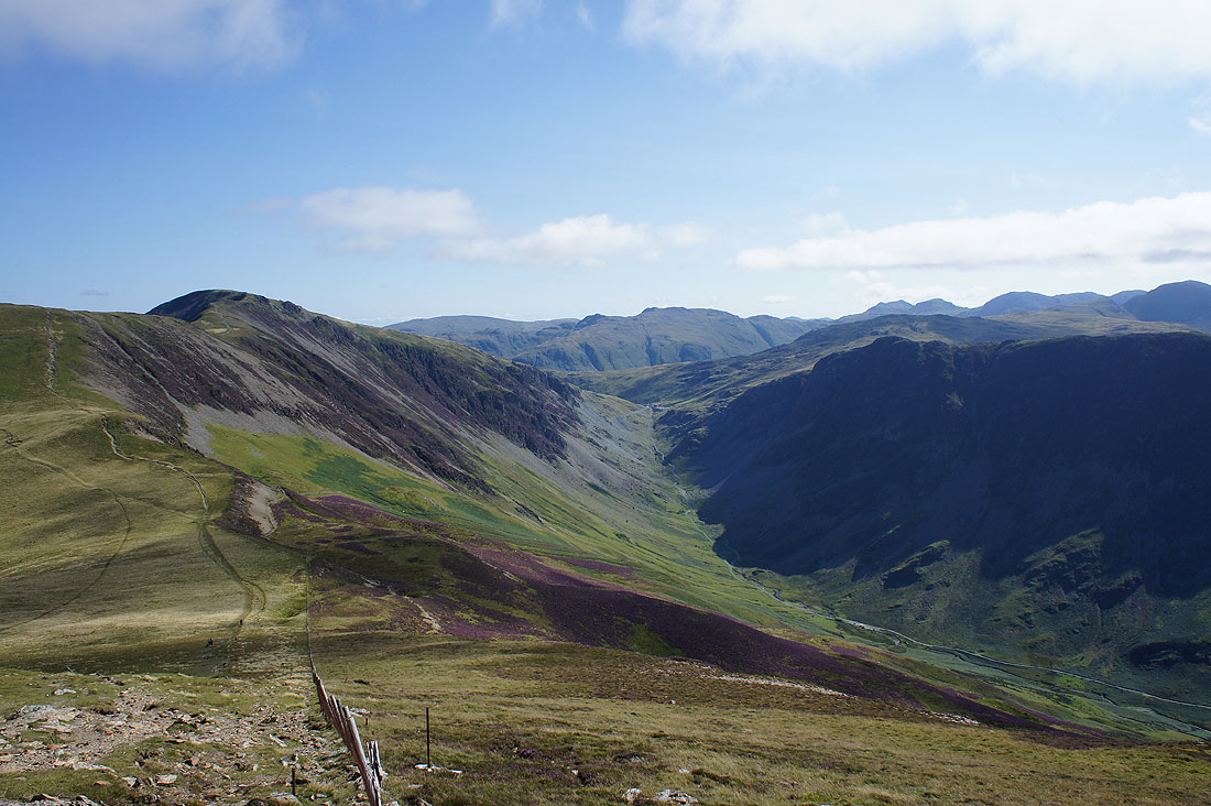
I thought I'd try taking a photo of the Newlands valley in portrait for a change
A glimpse of the green fields of Borrowdale below, then the High Seat to Ullscarf ridge with the Helvellyn range beyond
Robinson, where I'm going and Hindscarth, where I've been
Turning round to look across to the Honister Pass as I make my way up Robinson
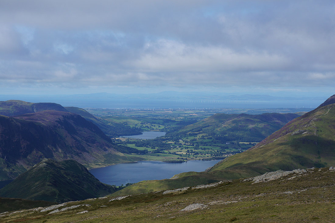
There's great visibility today. To the northwest I can see past Crummock Water, Loweswater and the Solway Firth to the hills in Scotland.
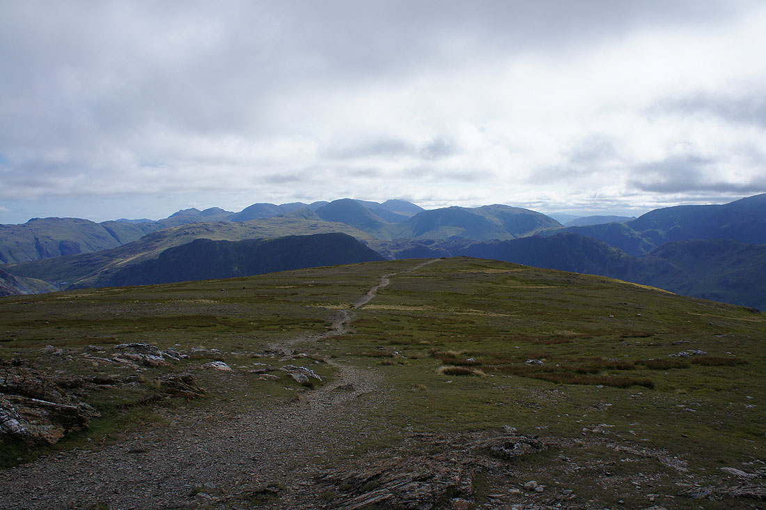
Looking back to Bowfell, Esk Pike, the Scafells, Great Gable and Kirk Fell as I reach the summit of Robinson
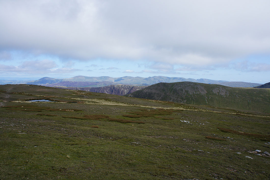
The amount of cloud has increased where I am but there are still sunny skies towards Helvellyn
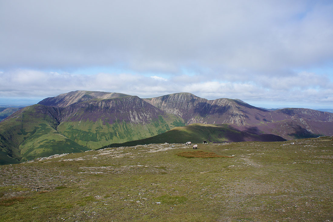
Grasmoor, Wandope, Eel Crag and Sail
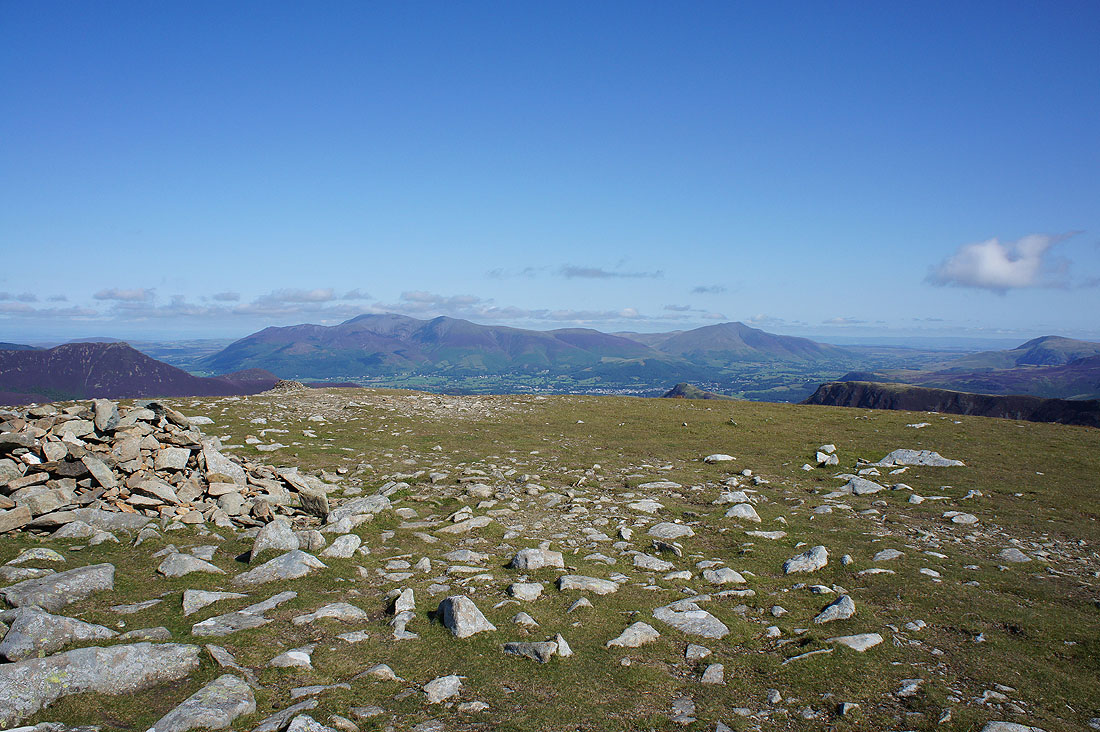
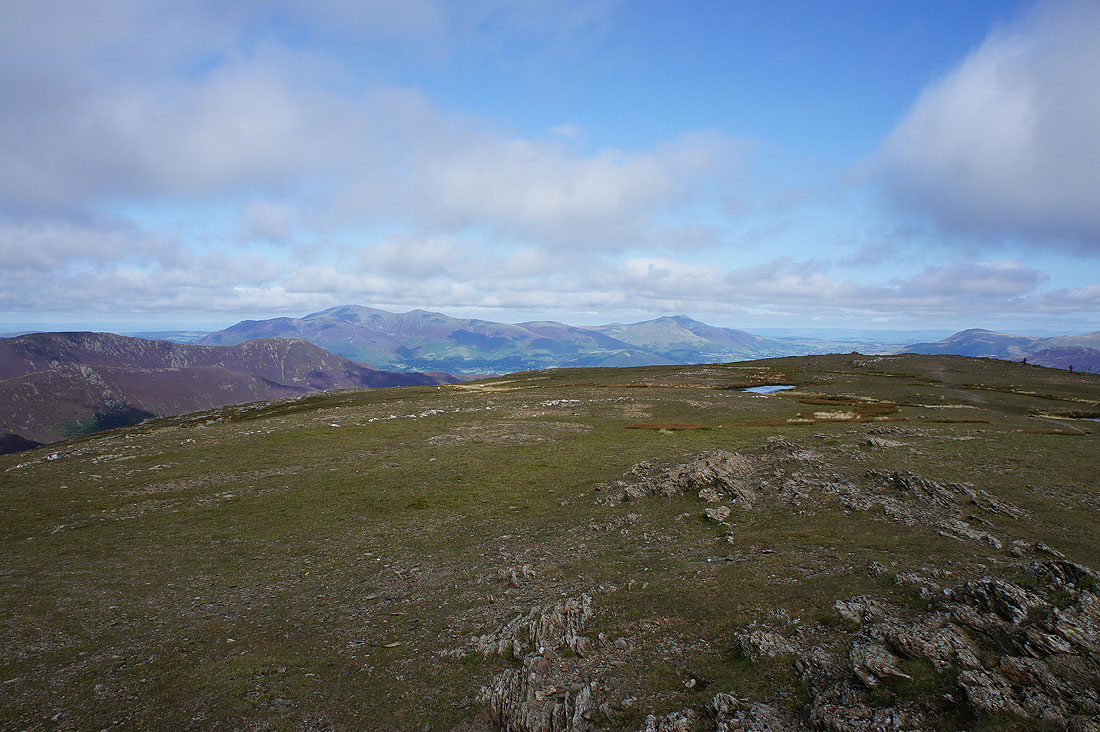
Skiddaw and Blencathra
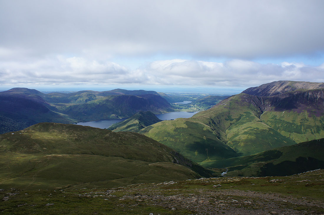
Crummock Water and Loweswater as I start my descent to Newlands Hause
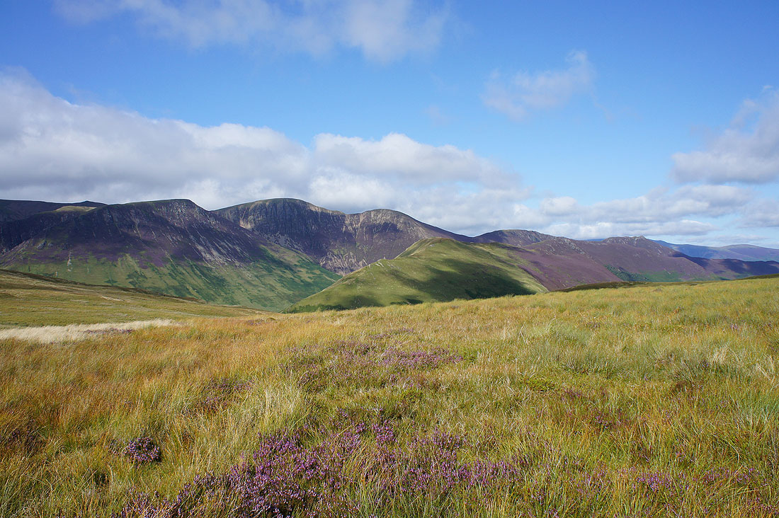
Couldn't resist taking a photo of sunshine on heather on the way down
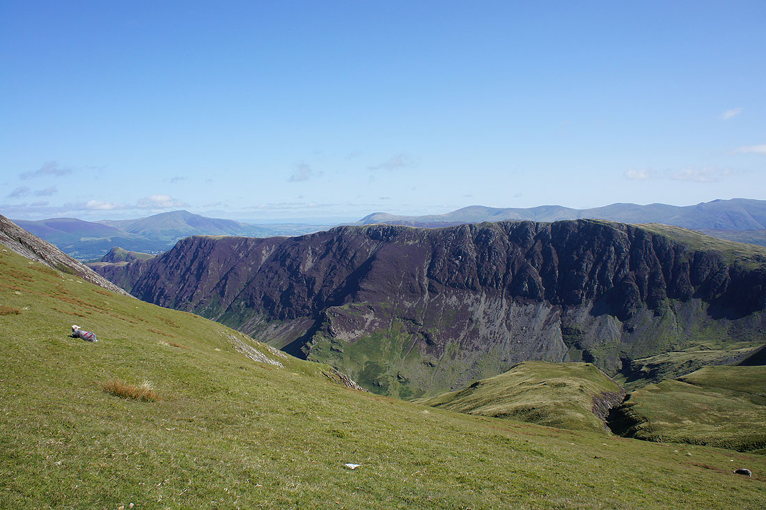
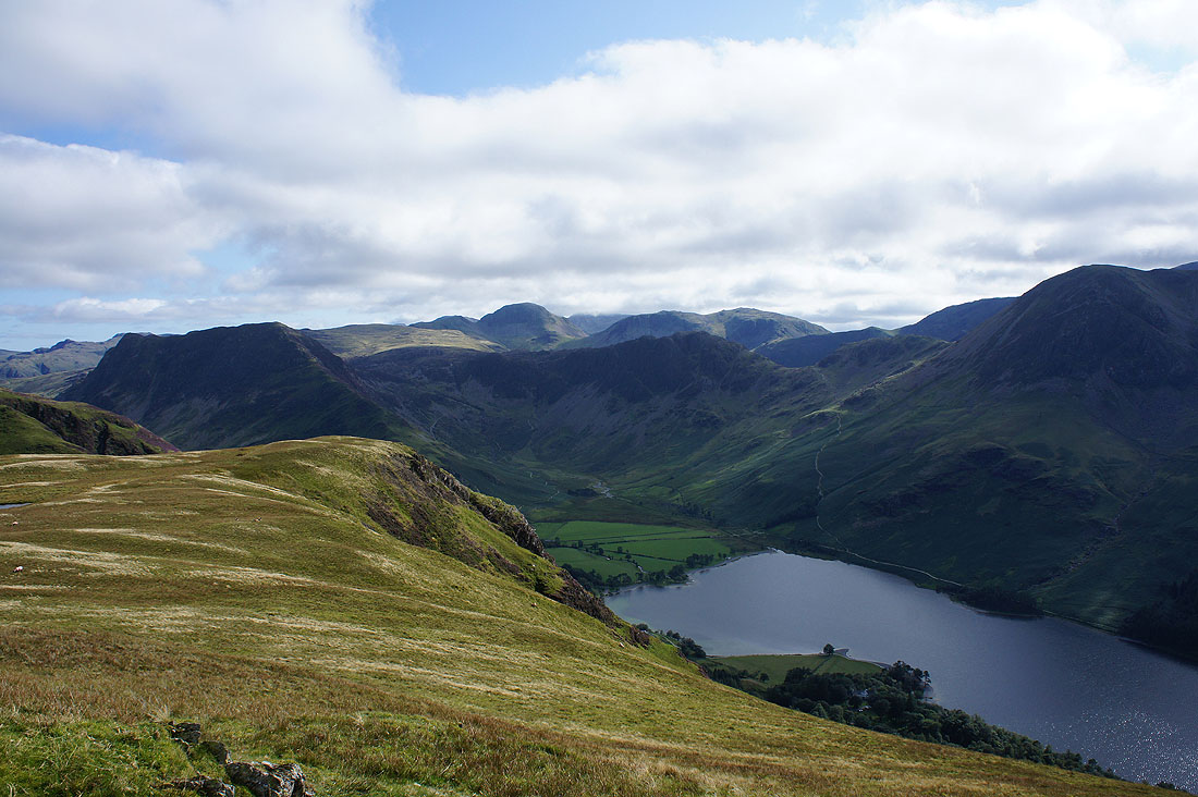
A small diversion to the top of High Snockrigg. It's worth doing if you have the time. Great views across the Buttermere valley..
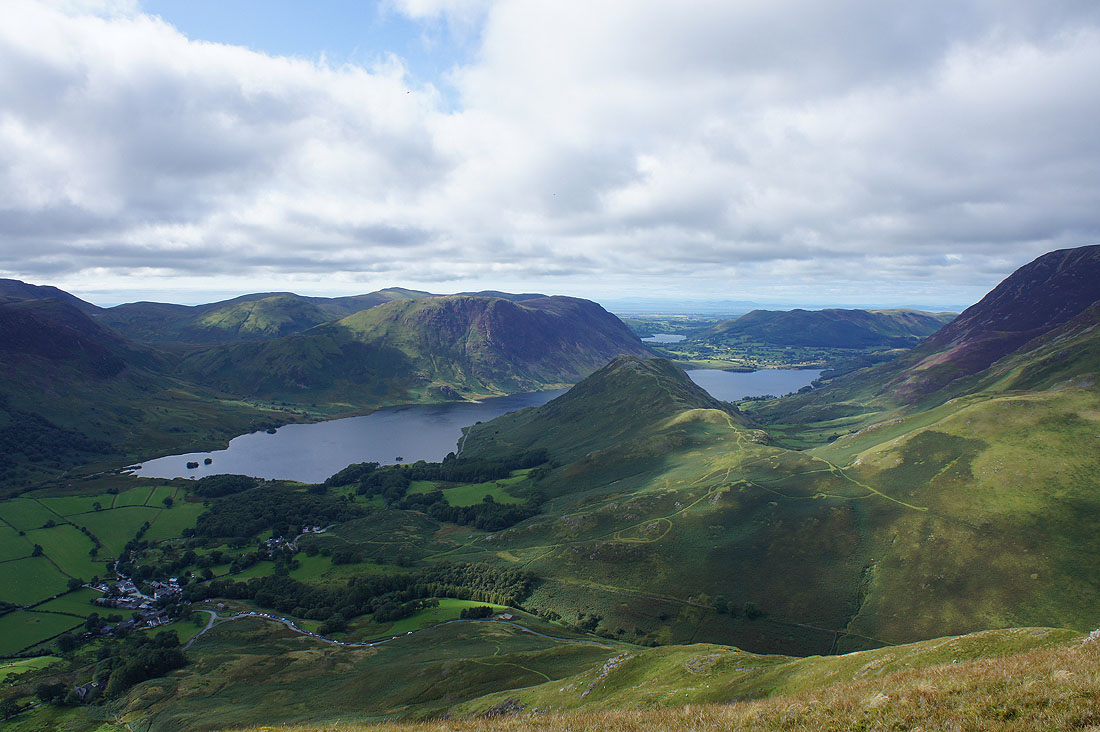
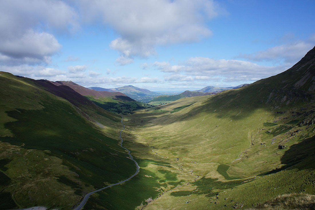
Keskadale as I reach the final drop to Newlands Hause
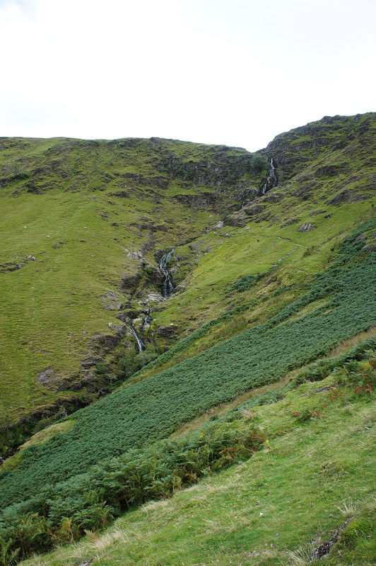
Moss Force
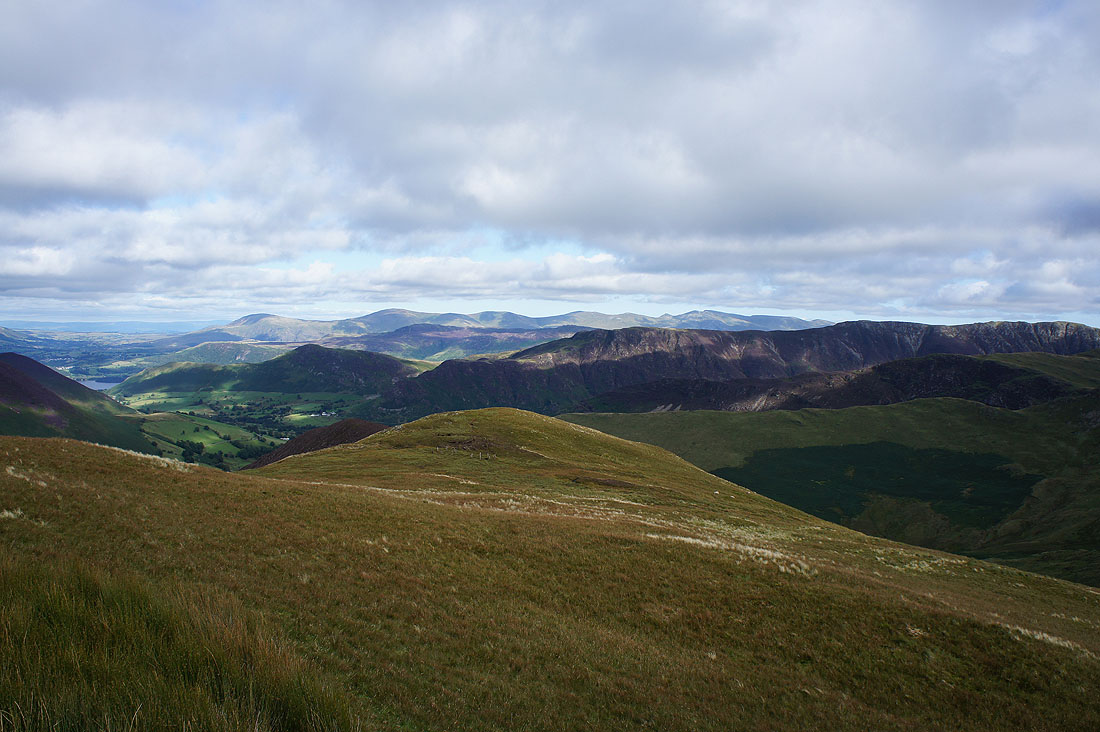
On the summit of Knott Rigg and looking east it's ridge after ridge after ridge
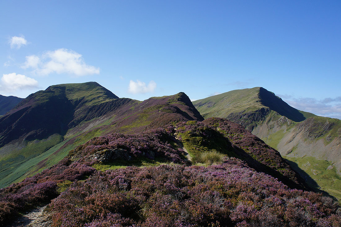
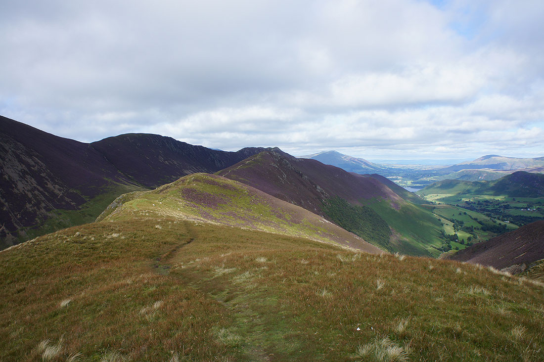
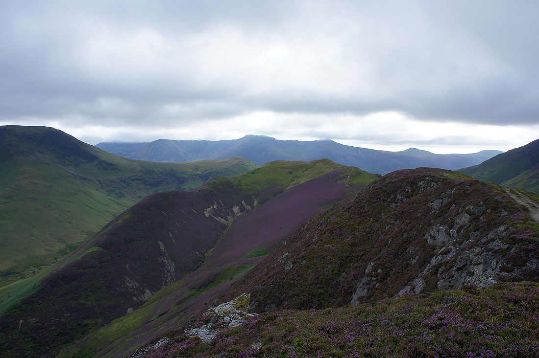
The ridge to Ard Crags
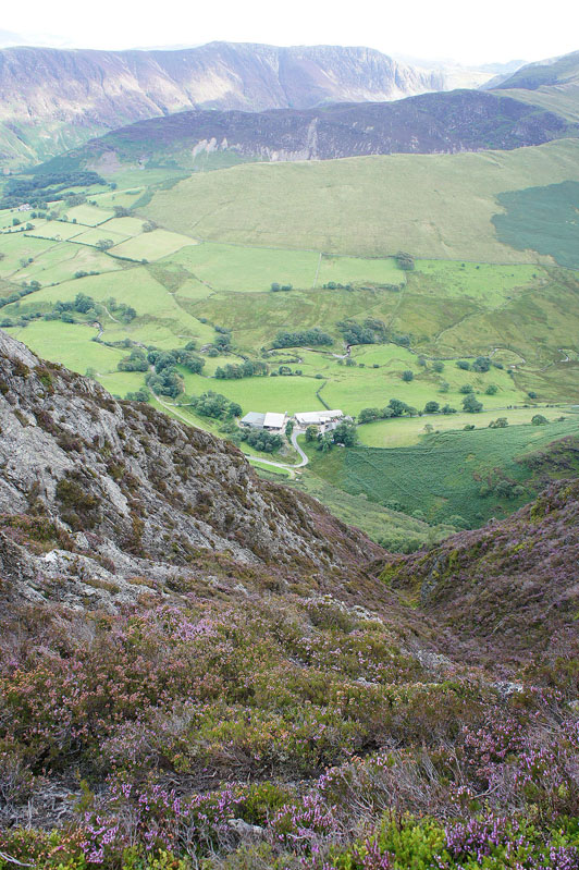
It's a long way down to Keskadale Farm
On Ard Crags looking back to Knott Rigg. Shame the sun isn't out, there's a lot of heather in bloom.
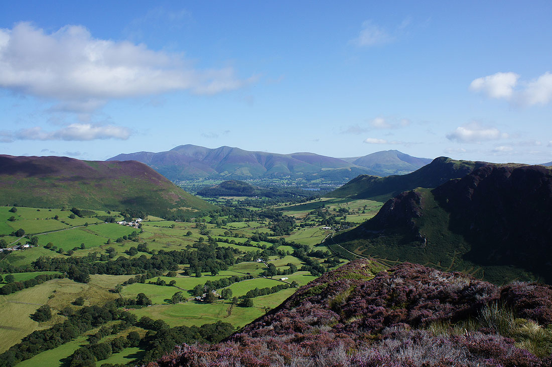
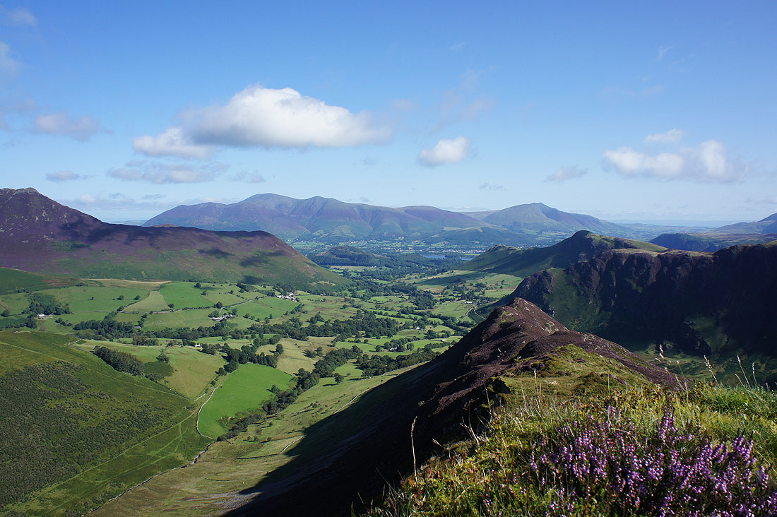
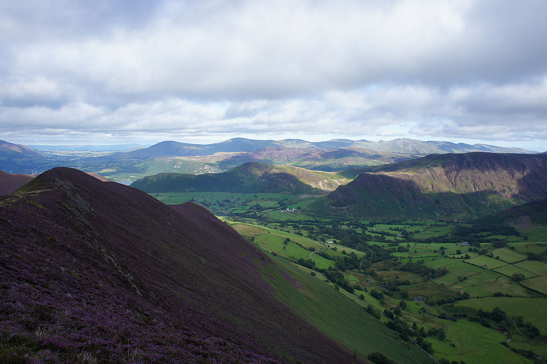
Catbells on the other side of the Newlands valley from a heather clad Ard Crags
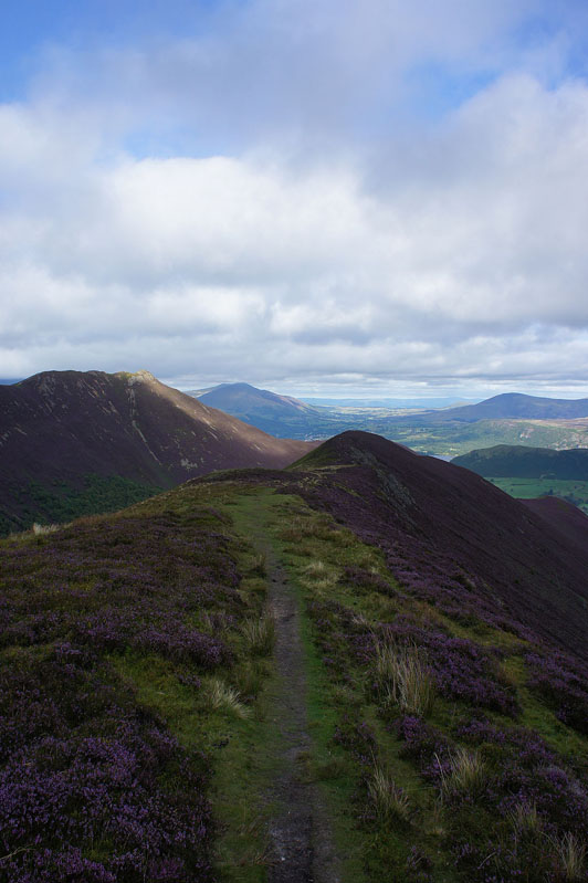
The final part of the ridge ahead to Aikin Knott. Causey Pike to my left briefly sees the sun.
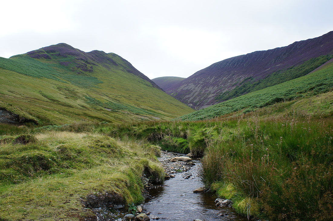
The valley of Rigg Beck, bounded by Aikin Knott and Scar Crags
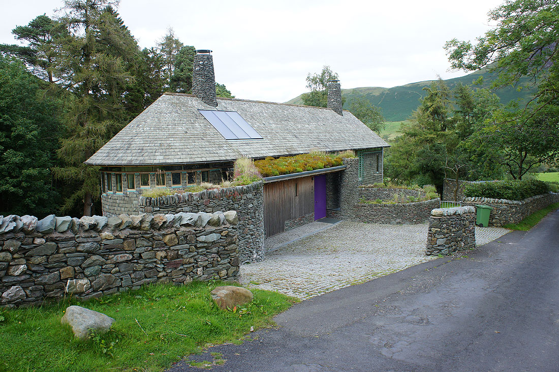
The new house at Rigg Beck which replaced the purple house that once stood here. I think it looks nice, a modern design using local materials. Note the purple door.
