7th April 2019 - Pendle Hill
Walk Details
Distance walked: 8.7 miles
Total ascent: 1390 ft ascent
OS map used: OL41 - Forest of Bowland & Ribblesdale
Time taken: 4.5 hrs
Route description: Barley-Lower Ogden Reservoir-Upper Ogden Reservoir-Ogden Clough-Pendle Hill-Downham Moor-Worston Moor-Scout Cairn-Mearley Moor-Ogden Clough-Upper Ogden Reservoir-Lower Ogden Reservoir-Barley
There's been a deterioration in the weather from yesterday with a lot of low cloud and murk around this morning. It's forecast to improve but with a thick haze as well I'm not going to bother going far if I'm not going to get any view to speak of. So, I decided to do another local walk, Pendle Hill from Barley. Conditions did improve as the afternoon wore on with the cloud breaking up to give sunny spells but the haze did persist. I could just about make out the surrounding hills.
From the car park in Barley I set off by taking the private road past the old waterworks buildings up to Lower and Upper Ogden Reservoirs. I then continued along the path up Ogden Clough and up the flagged path to reach the trig point and summit. After taking in the view I made my way north to the stile to cross it onto Downham Moor (with a break on the wall seating beforehand). The path was followed west across Downham Moor to Worston Moor, then southwest past the circular shelter and the Scout Cairn, and then across Mearley Moor. When I reached the cairn at the end of Mearley Moor I made my way east across the top of Howcroft Brook to the track up from the Nick of Pendle. I was on this briefly before descending into Ogden Clough to pick up the path I used on my outbound route. I then retraced my steps back to Barley.
Route map
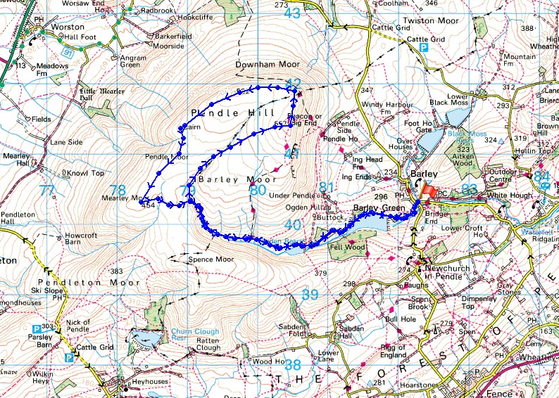
© Crown copyright. All rights reserved. License number PU 100034184.
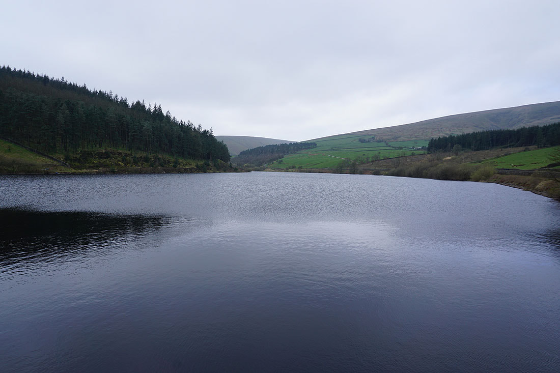
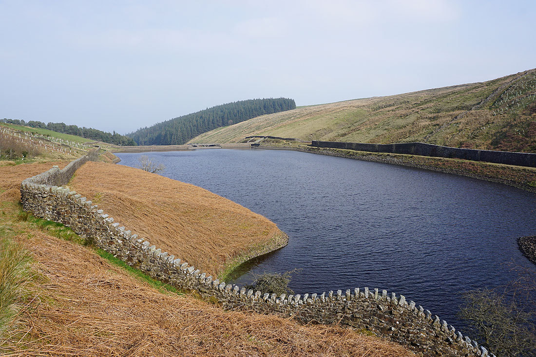
It's grey and murky by Lower Ogden Reservoir
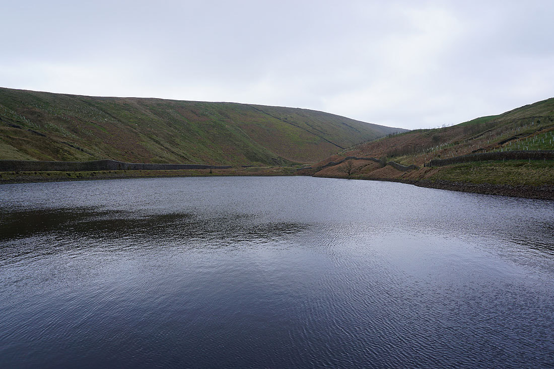
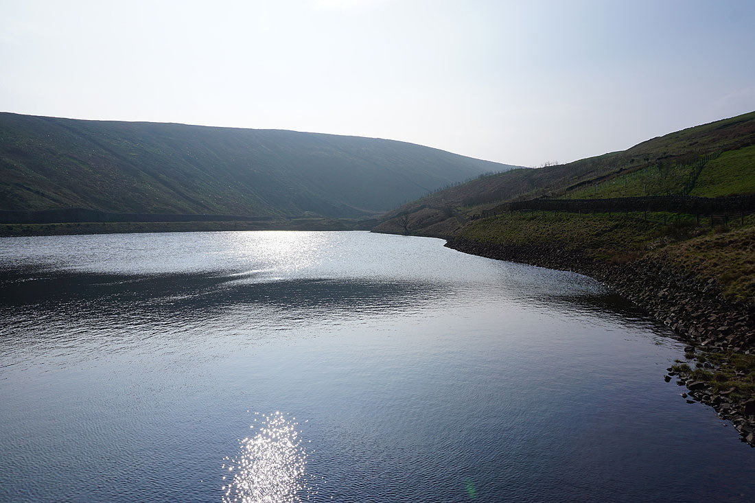
and the same by Upper Ogden Reservoir
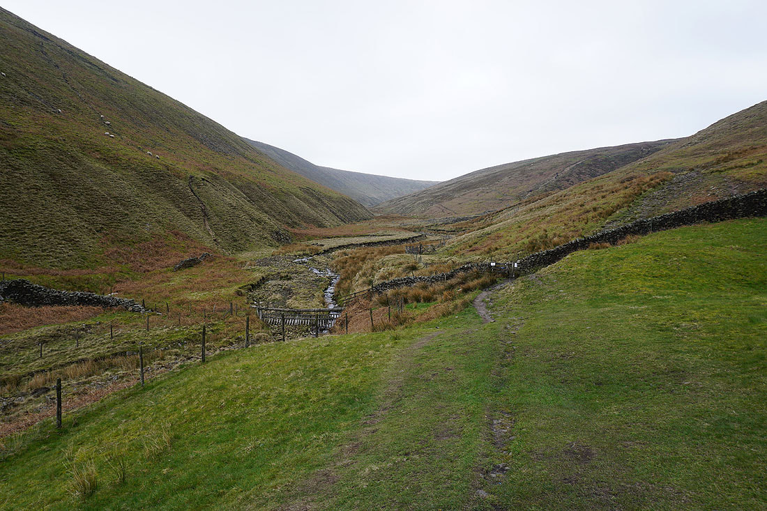
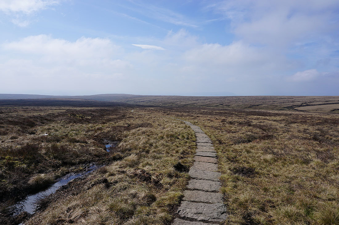
As I follow the path up Ogden Clough there's a dramatic improvement in the weather...
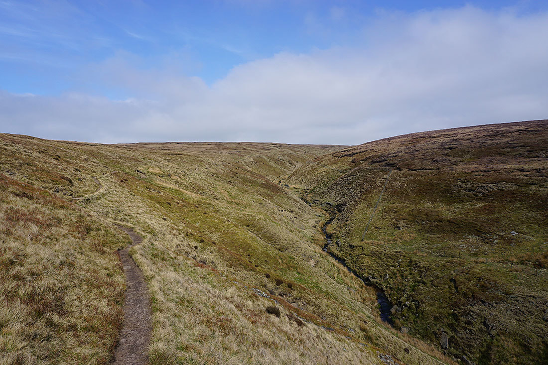
Looking back down Ogden Clough
and across to Downham Moor as I head for the summit
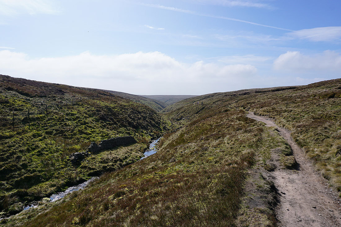
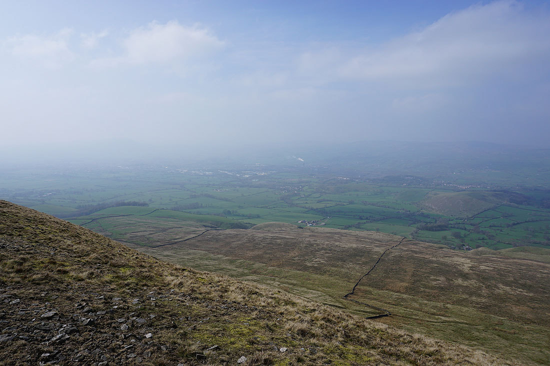
Looking back towards Ogden Clough and it's too hazy to make out the Ribble Valley
The Black Moss Reservoirs, Barley and Lower Ogden Reservoir from the summit
Looking up to the trig point from the wall seating while I take a break
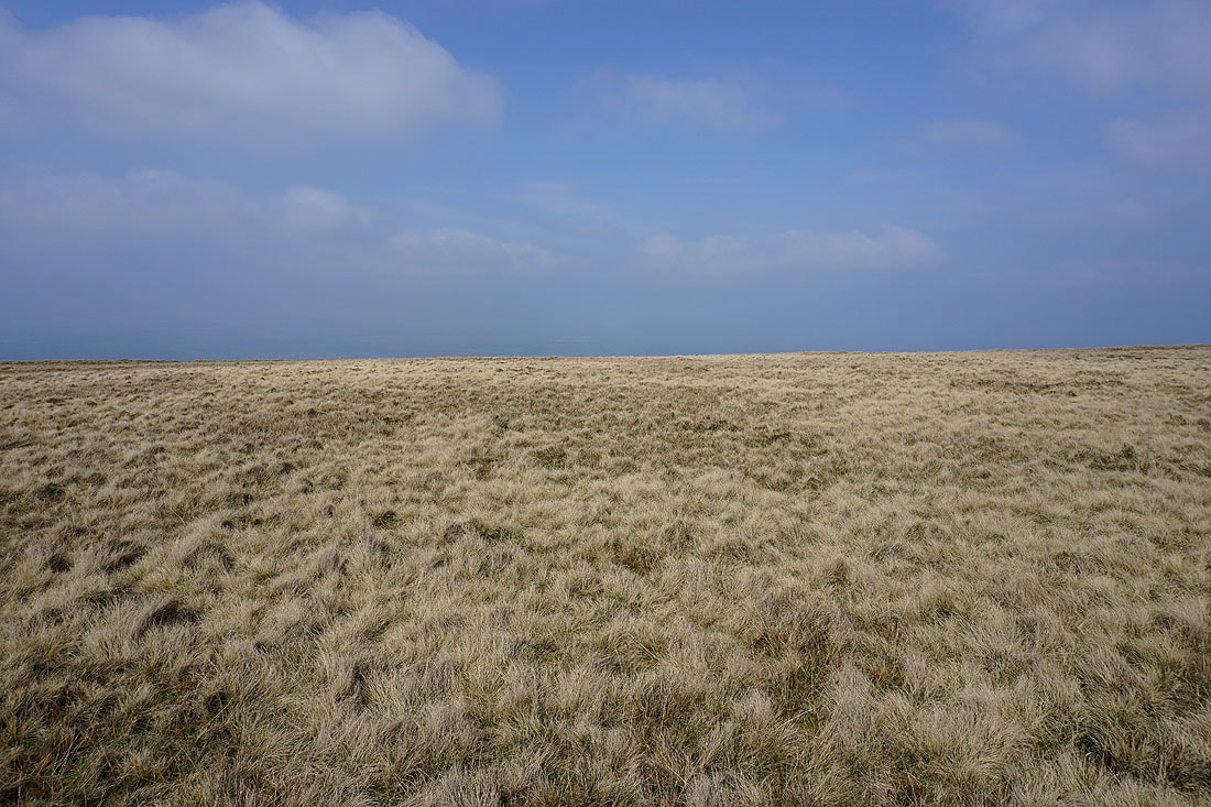
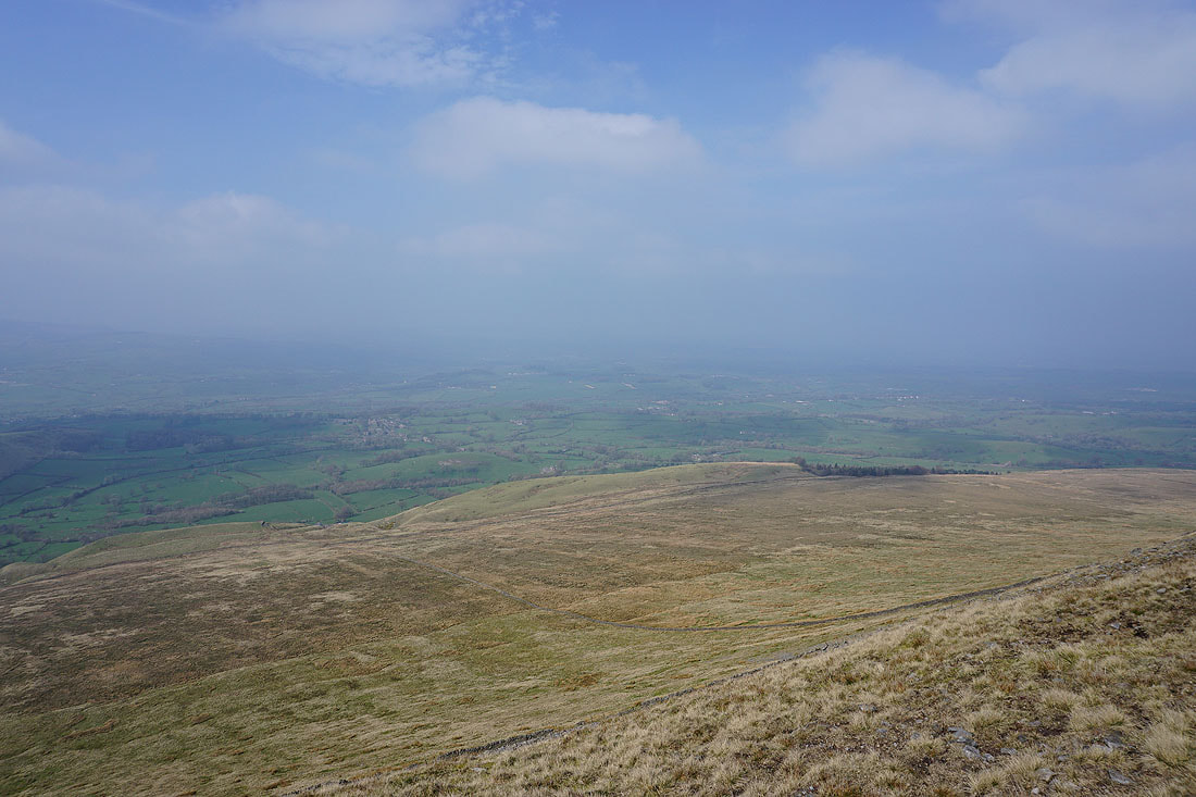
Onto Downham Moor and the haziness does make for a great light on the moorland grass
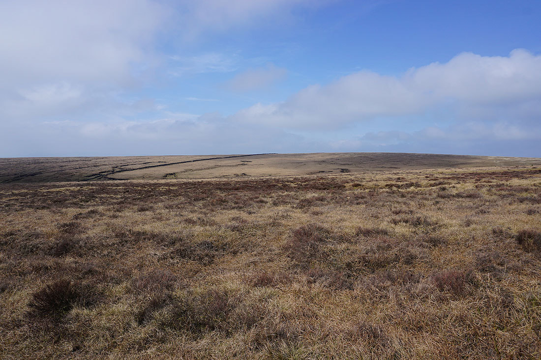
Heading west across Downham Moor
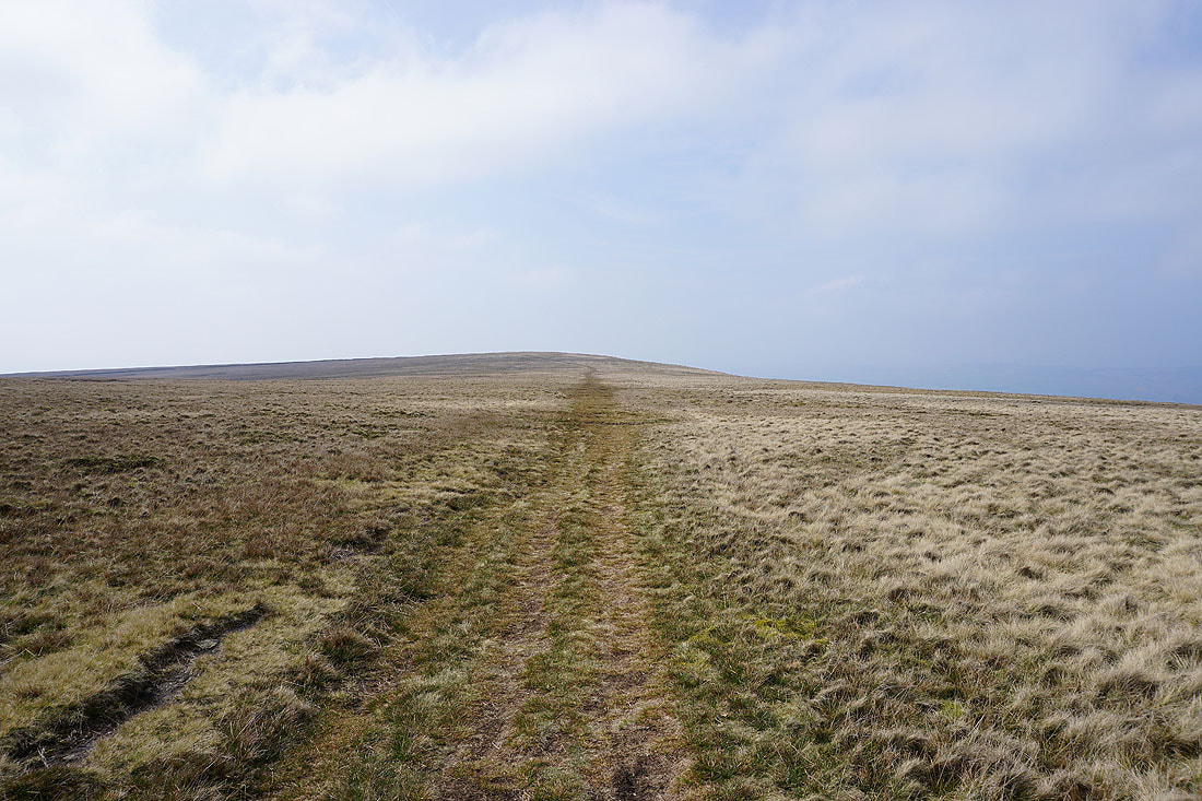
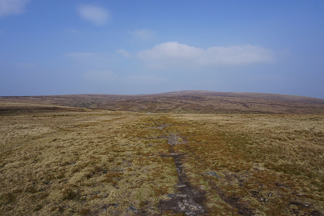
The summit from Downham Moor
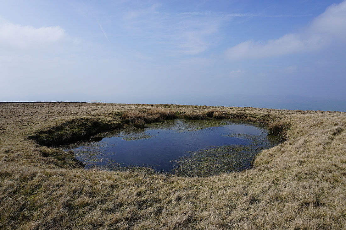
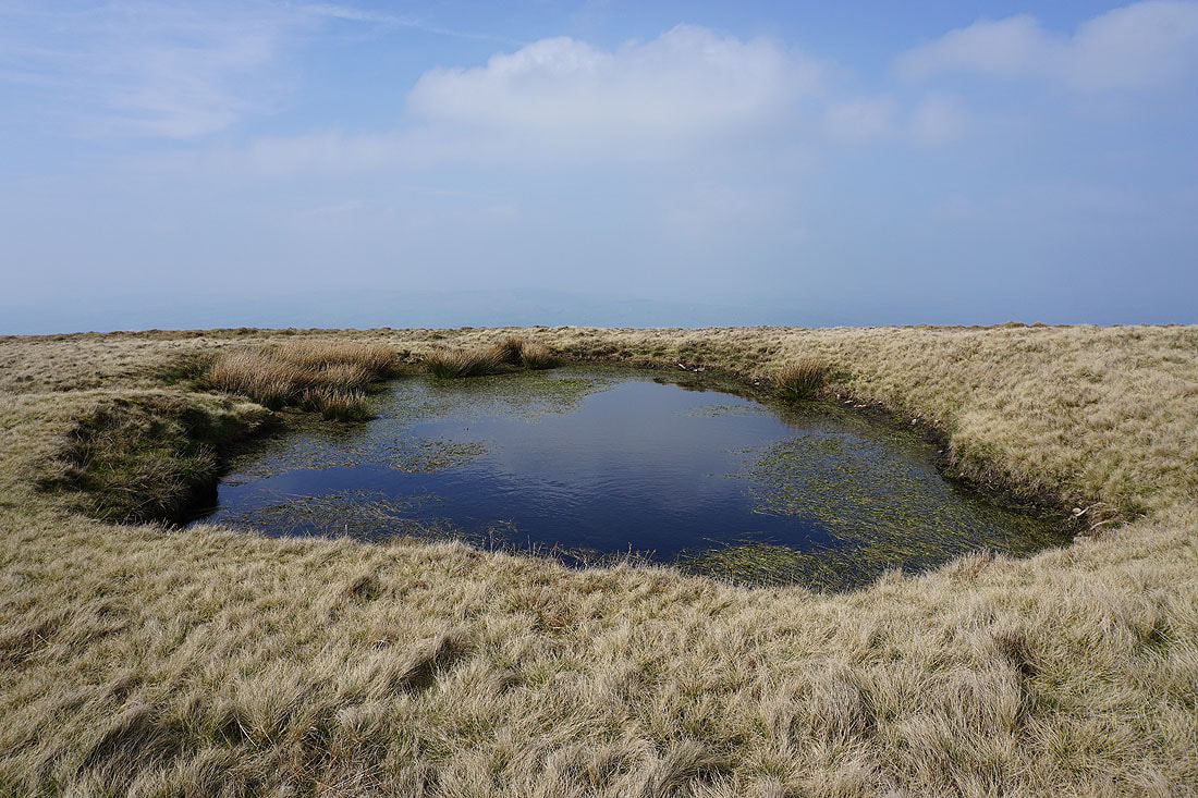
Hints of hills on the other side of the Ribble Valley from my favourite pool on Downham Moor..
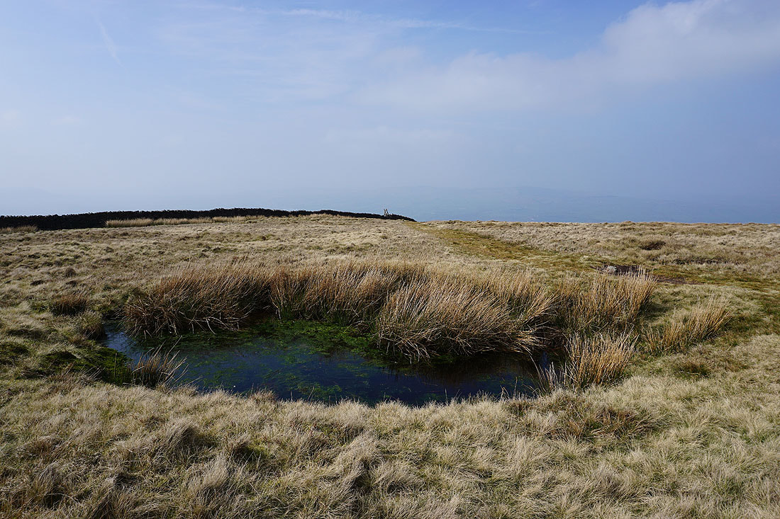
I can see the ladder stile over the wall onto Worston Moor from this pool
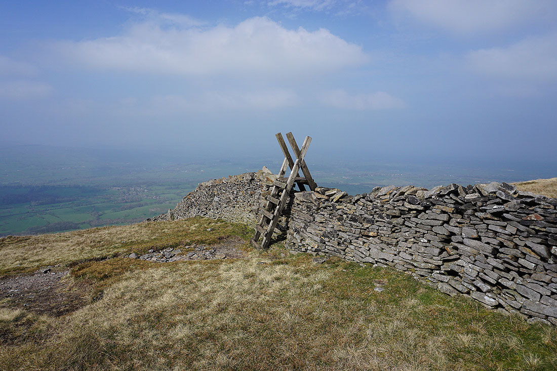
Over that ladder stile with the village of Downham in the valley below
Approaching the circular shelter on Worston Moor with the Scout Cairn in the distance
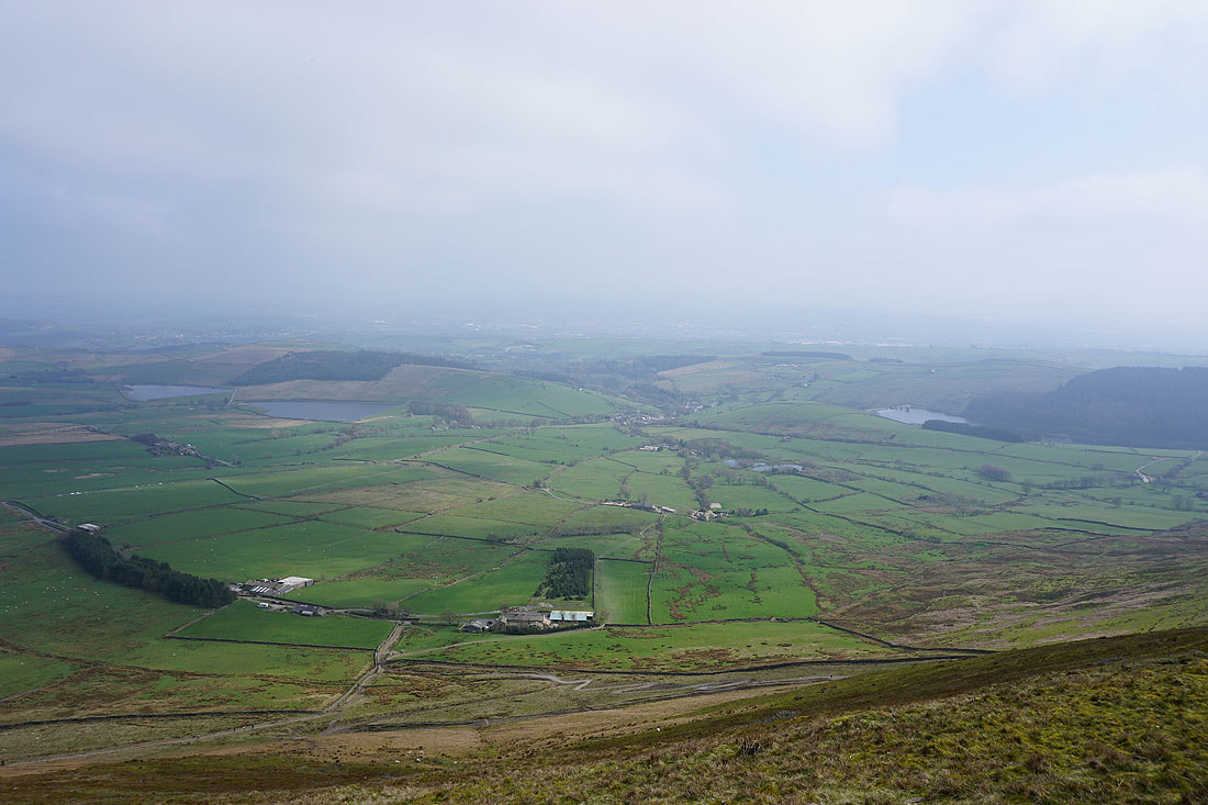
Views across the Ribble Valley with Clitheroe..
..and Downham below
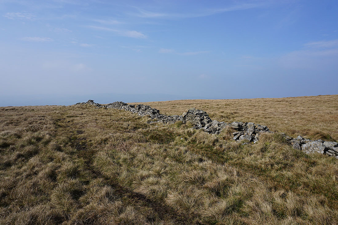
Mearley Moor from the Scout Cairn
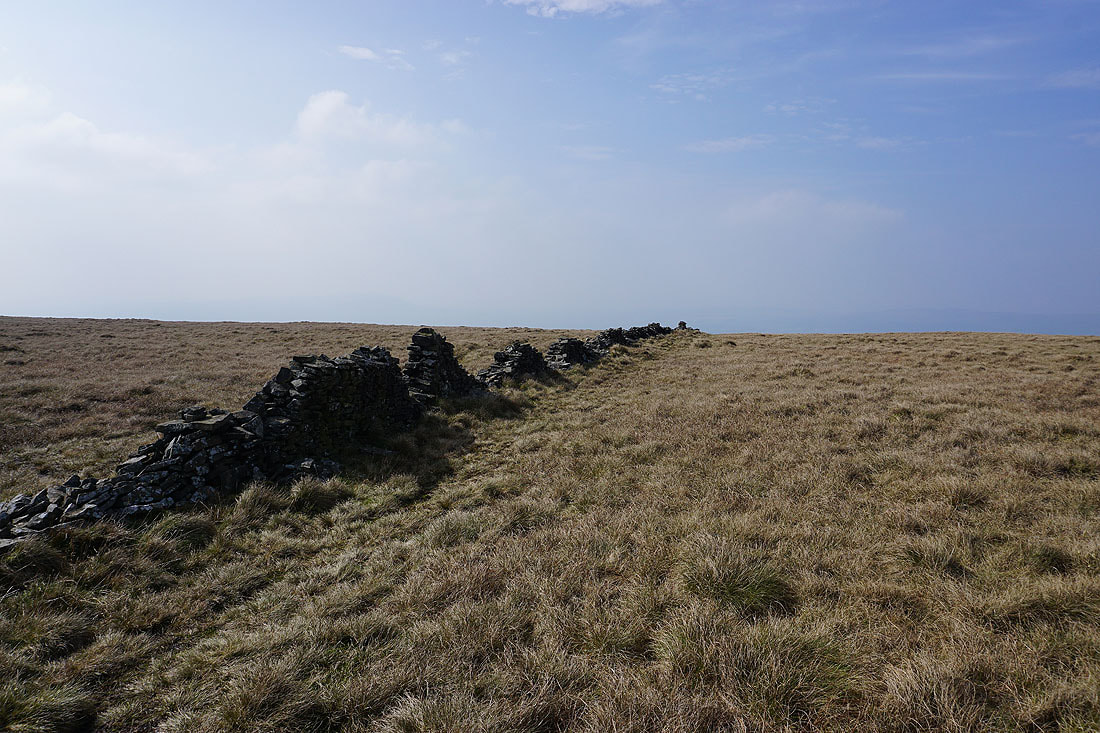
This wall running across Mearley Moor adds some interest to some photos of the moor...
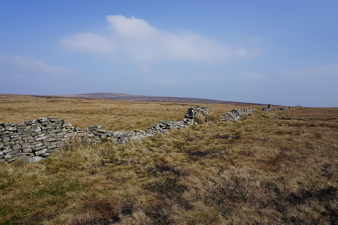
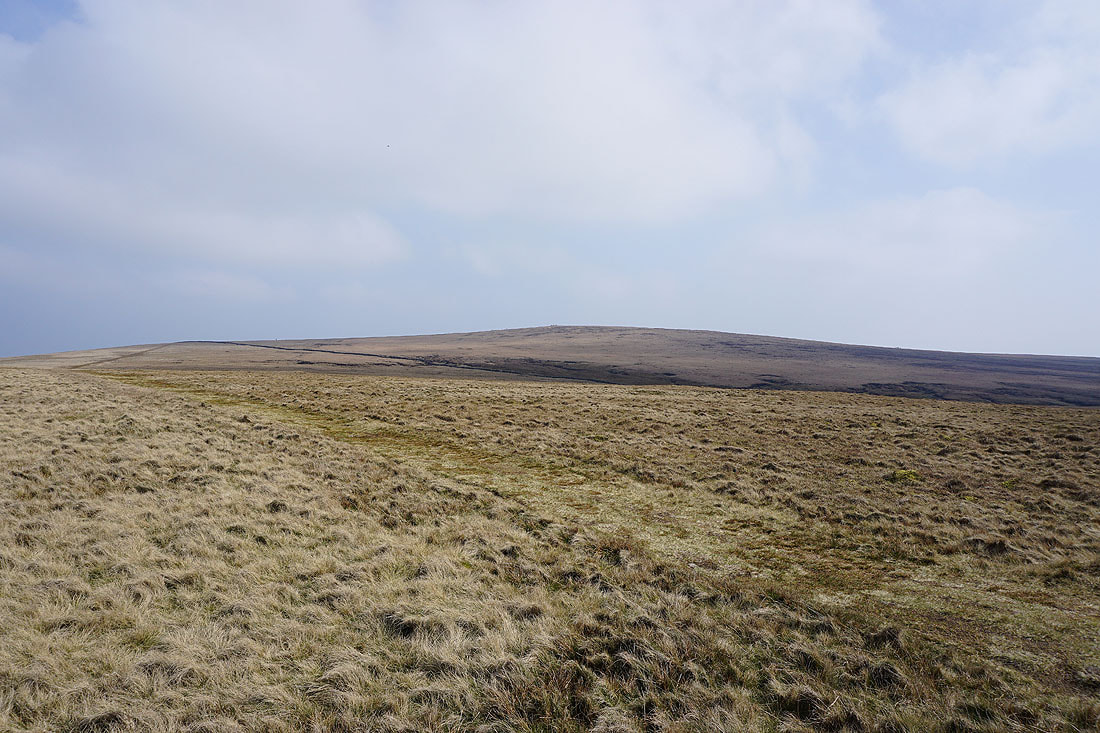
Worston Moor and the summit from Mearley Moor
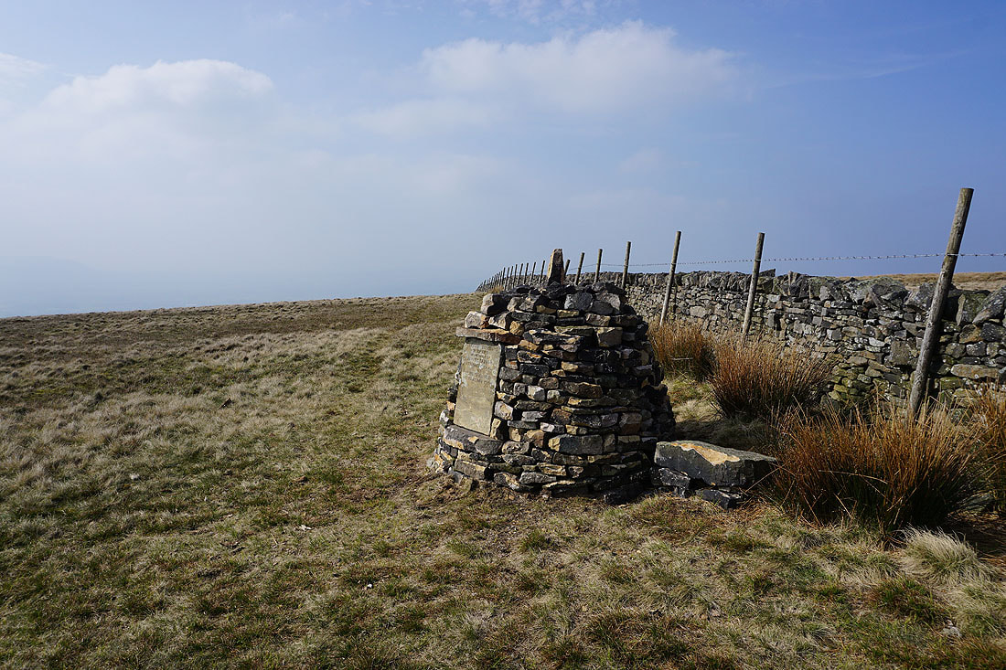
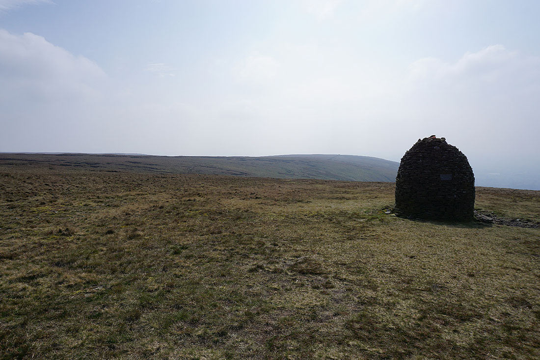
At the Clayton-le-Moors Harriers cairn on the southern end of Mearley Moor
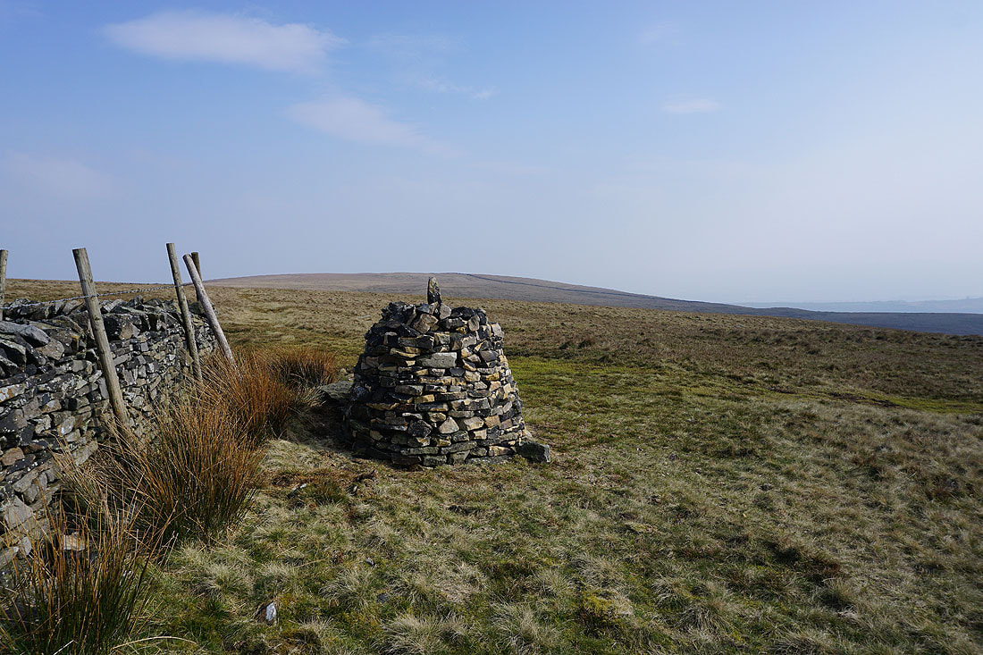
Spence Moor behind the cairn
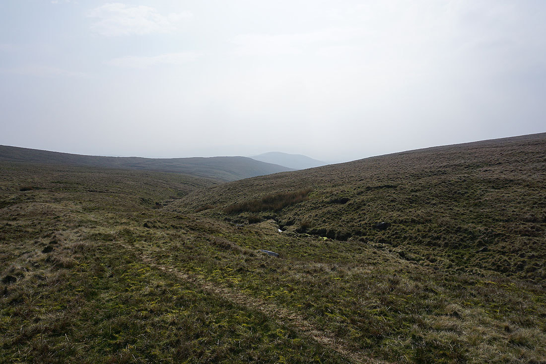
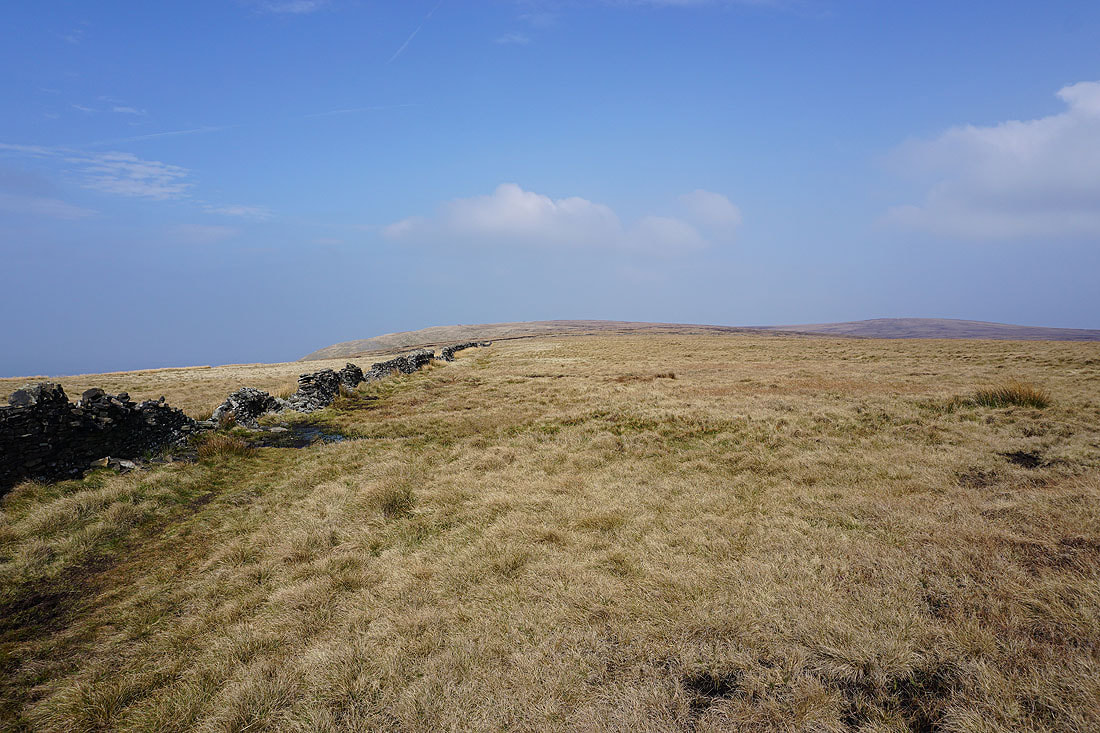
Looking across Howcroft Brook to Pendleton Moor and the Nick of Pendle
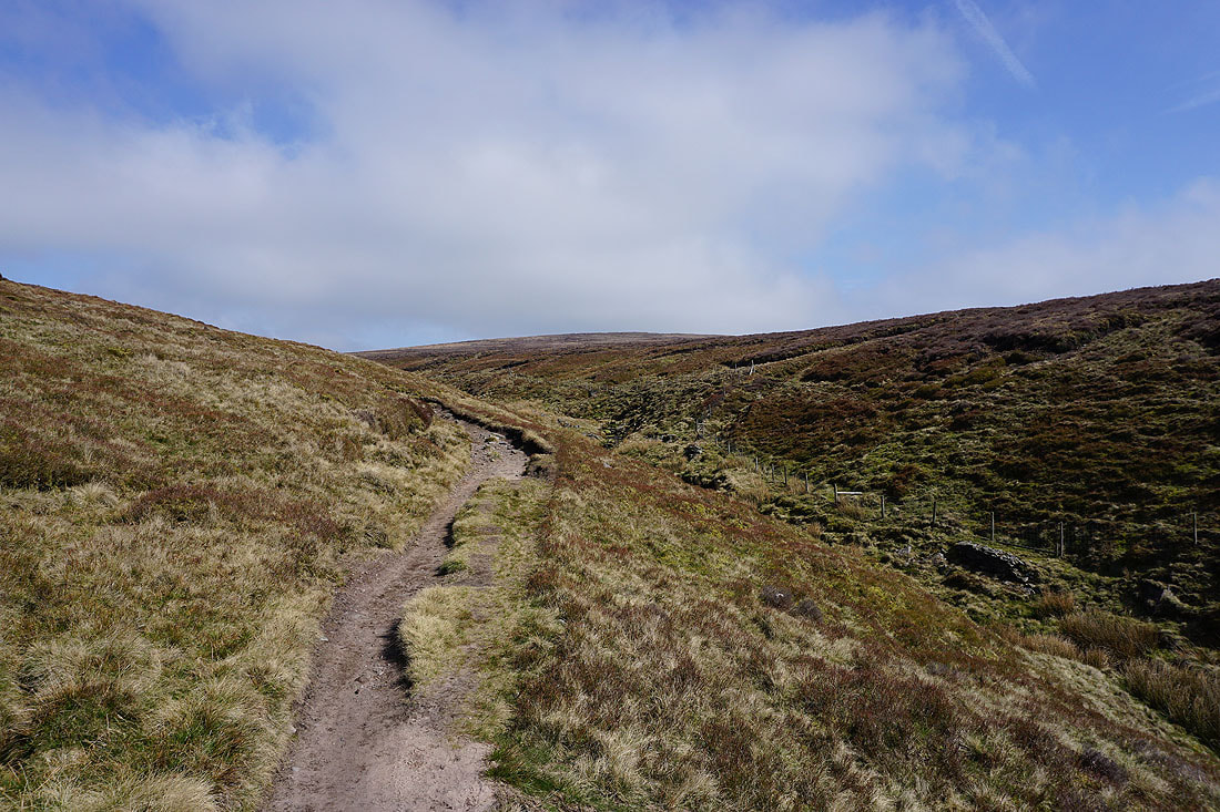
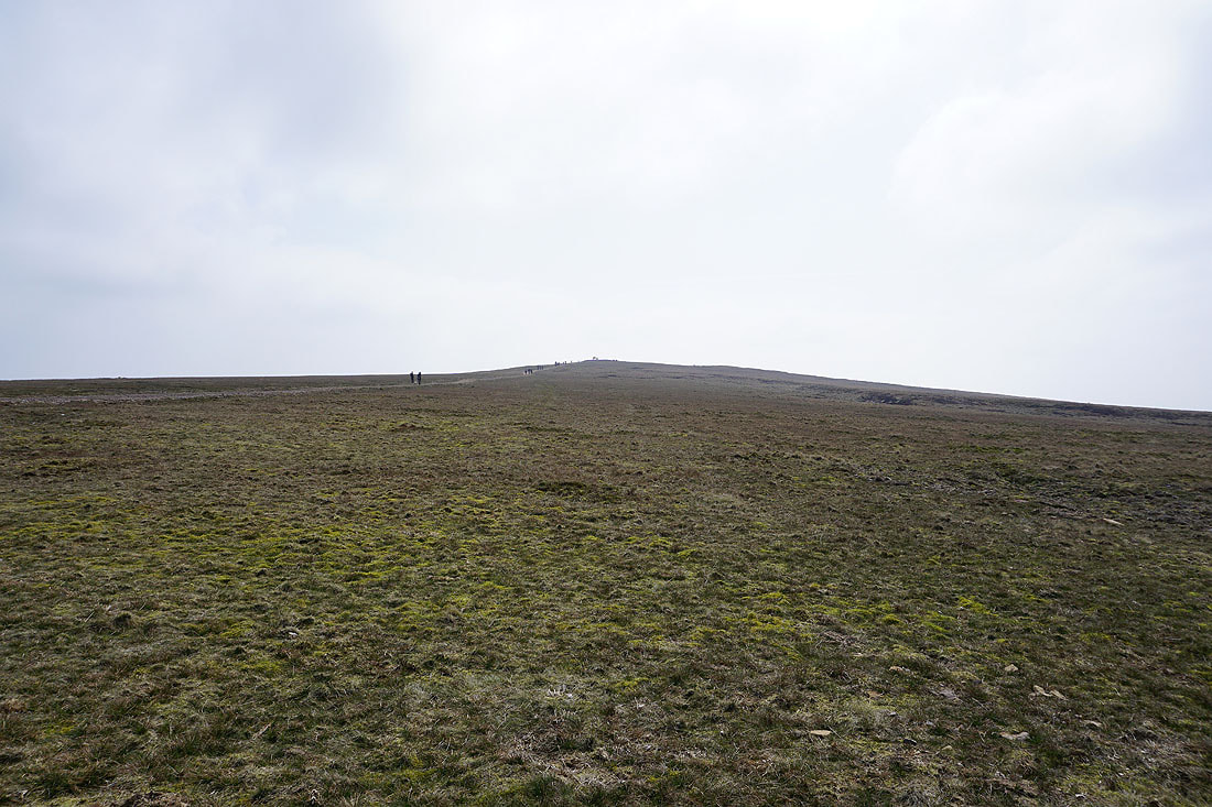
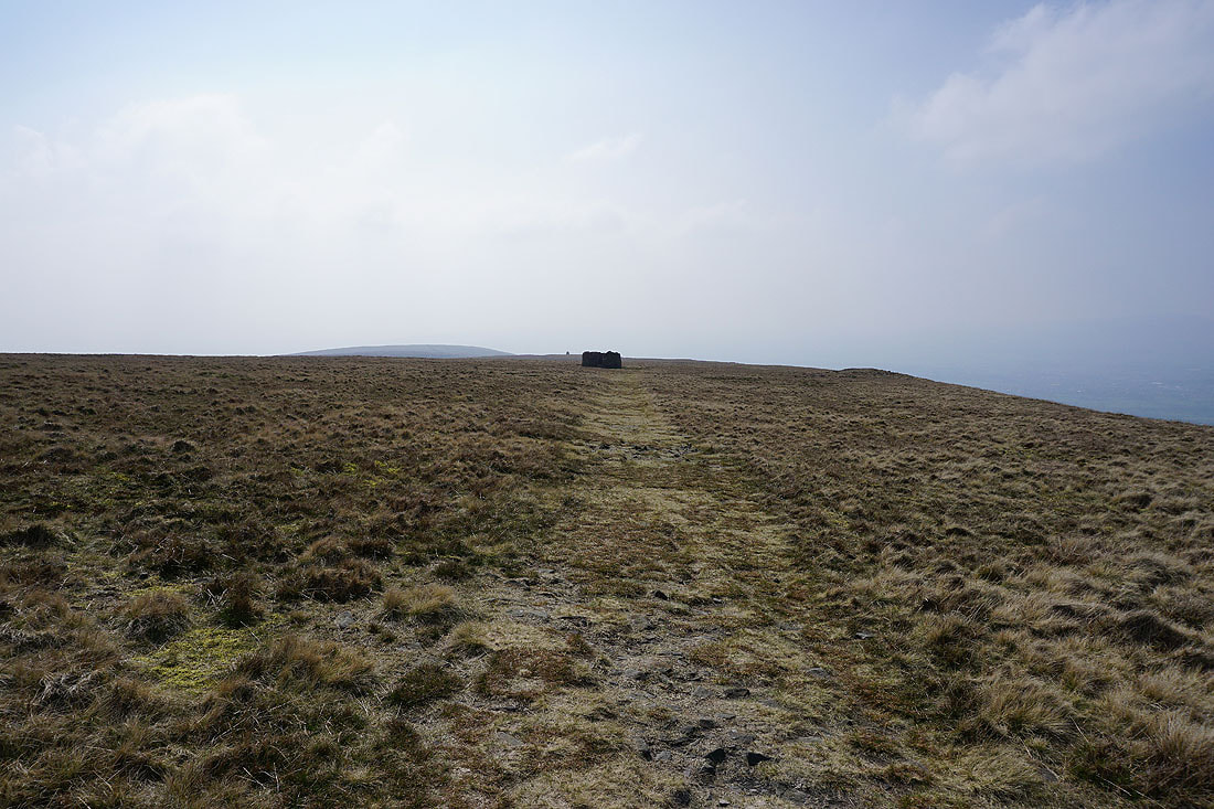
The summit of Pendle Hill as I head back to Ogden Clough
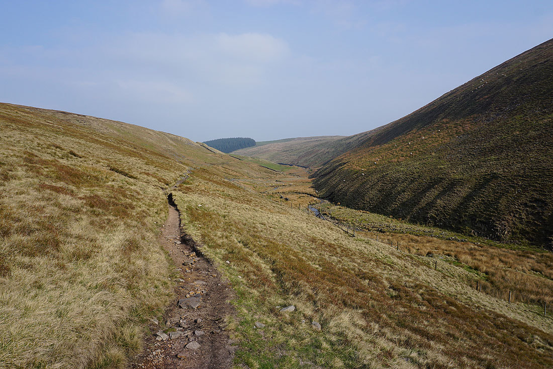
Making my way back down Ogden Clough
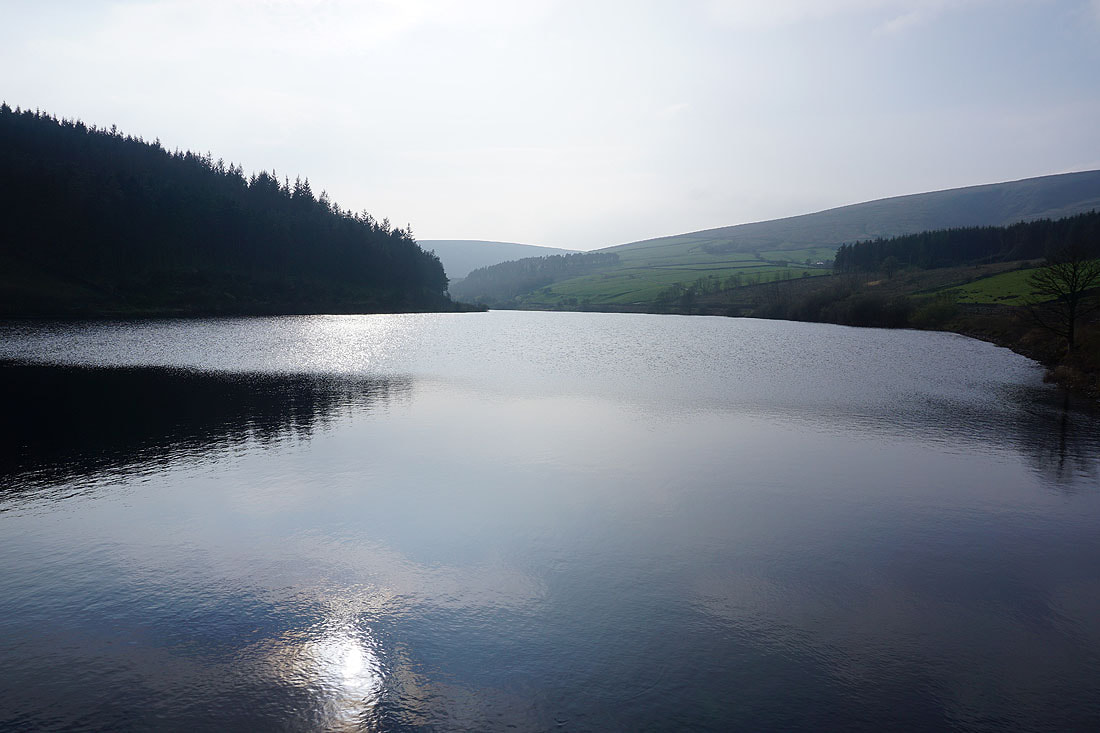
It's a lot brighter by Upper Ogden Reservoir than when I passed it a few hours ago..
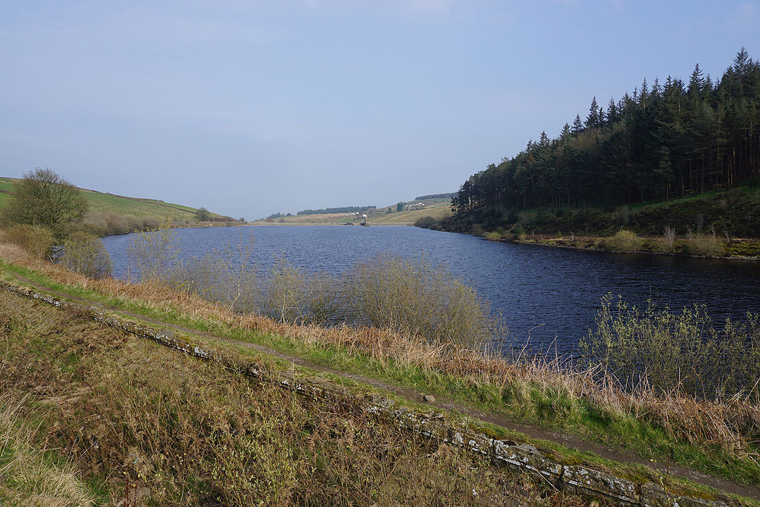
and the same can be said of Lower Ogden Reservoir..