7th August 2022 - Crow Hill and Stanbury Moor
Walk Details
Distance walked: 12.3 miles
Total ascent: 1821 ft
OS map used: OL21 - South Pennines
Time taken: 7 hrs
Route description: Penistone Hill Country Park-Millennium Way-Bronte Bridge-The Height-Pennine Way-Ponden Reservoir-Ponden Hall-Pennine Way-Ponden Slack-Crow Hill-Ponden Slack-Ponden Kirk-Middle Moor Clough-Alcomden Stones-Stanbury Moor-Top Withins-Pennine Way-Dick Delf Hill-Oxenhope Stoop Hill-The Waste-Stairs Lane-Bodkin Lane-Lee Lane-Westfield Farm-Drop Farm-Moor Side Lane-Penistone Hill Country Park
I decided to stay close to home for my walk this weekend and make the short drive across the moors to Bronte Country. It's forecast to be a fine summer's day and with the heather coming into bloom I should have an enjoyable walk across the moors. This time last year I paid my first visit to Crow Hill, and while there were no complaints about the view, I didn't have the best weather for taking it in with dull and overcast skies rather spoiling it. Today should be better, and it was. There were spells of warm summer sunshine from start to finish with a brisk breeze up on the moors, and with great visibility the view from Crow Hill could be enjoyed at its best, as could those across Bronte Country during the rest of the walk.
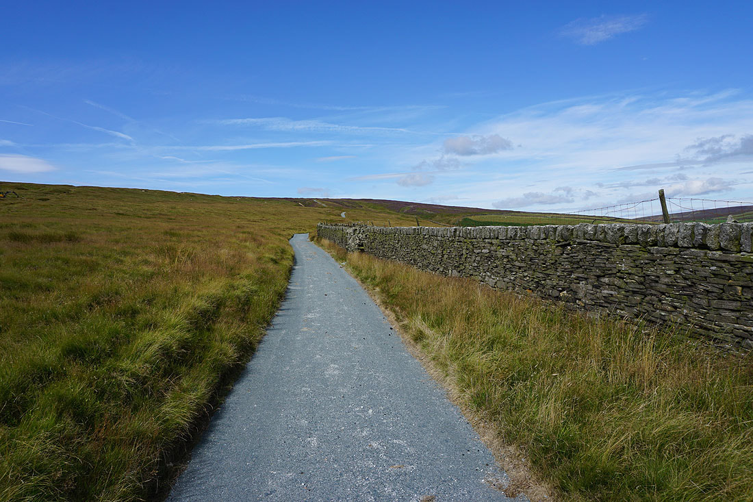
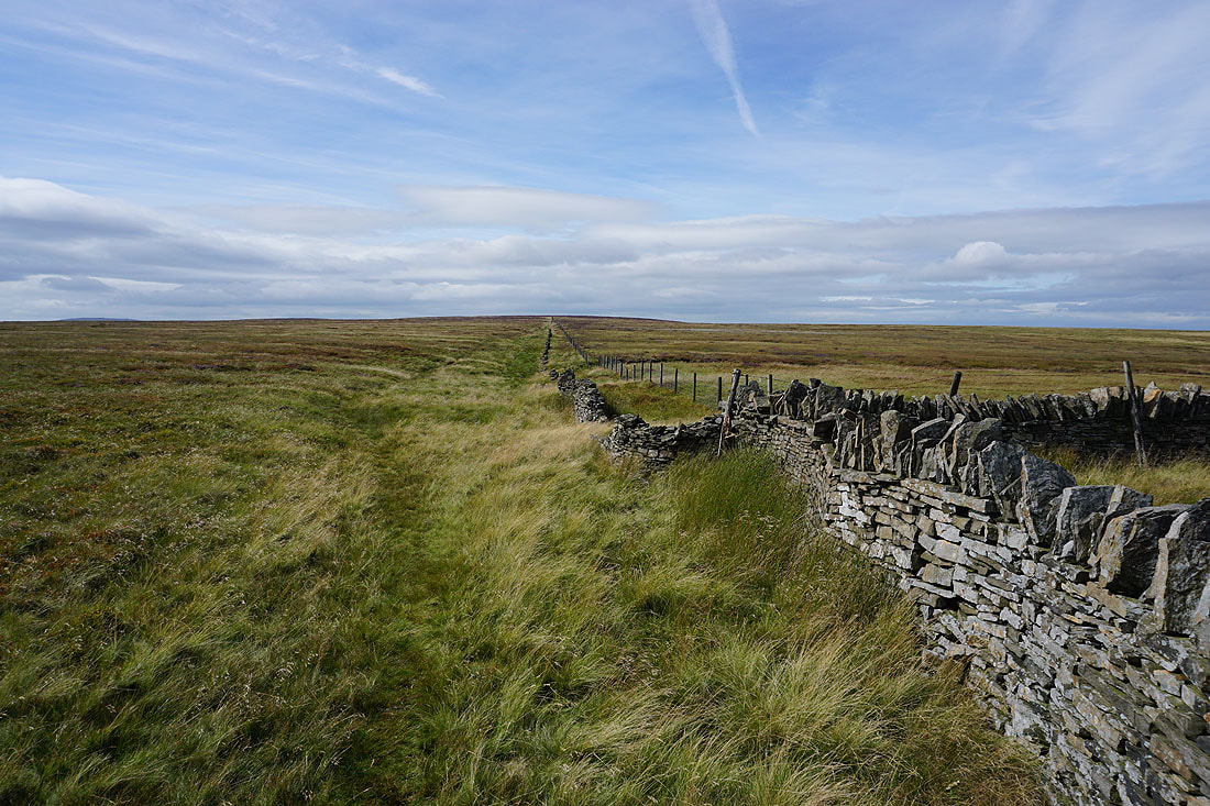
From the car park at Penistone Hill Country Park I crossed Moor Side Lane, took the trail of the Millennium Way and followed it west across the northern slopes of Enshaw Knoll, and down to and across Bronte Bridge, from where I took a footpath up onto the moorland of The Height to join the Pennine Way. I then made my way north on the Pennine Way to Ponden Reservoir and up to Ponden Hall where I took a track on the left and a public footpath up to the moorland of Ponden Slack. I kept on the track as it made its way west up to the disused quarries above, from where I had a largely pathless ascent to the top of Crow Hill. After taking in the view I retraced my steps down to Ponden Slack and took a footpath south along the top of Ponden Clough to Ponden Kirk, where I stopped for lunch. From Ponden Kirk I took a path up Middle Moor Clough to the Alcomden Stones, then across Stanbury Moor past the trig point and to Top Withins to join the Pennine Way. I then made my way south along the Pennine Way until I reached its summit where I took to the open moor to cross Dick Delf Hill, Oxenhope Stoop Hill and The Waste to the track of Stairs Lane. A walk north down Stairs Lane and Bodkin Lane took me to Leeshaw Reservoir and Lee Lane, from where I took the footpath up past Westfield Farm to Haworth Moor, then the footpath east past Drop Farm to Moor Side Lane and back to Penistone Hill Country Park.
Total ascent: 1821 ft
OS map used: OL21 - South Pennines
Time taken: 7 hrs
Route description: Penistone Hill Country Park-Millennium Way-Bronte Bridge-The Height-Pennine Way-Ponden Reservoir-Ponden Hall-Pennine Way-Ponden Slack-Crow Hill-Ponden Slack-Ponden Kirk-Middle Moor Clough-Alcomden Stones-Stanbury Moor-Top Withins-Pennine Way-Dick Delf Hill-Oxenhope Stoop Hill-The Waste-Stairs Lane-Bodkin Lane-Lee Lane-Westfield Farm-Drop Farm-Moor Side Lane-Penistone Hill Country Park
I decided to stay close to home for my walk this weekend and make the short drive across the moors to Bronte Country. It's forecast to be a fine summer's day and with the heather coming into bloom I should have an enjoyable walk across the moors. This time last year I paid my first visit to Crow Hill, and while there were no complaints about the view, I didn't have the best weather for taking it in with dull and overcast skies rather spoiling it. Today should be better, and it was. There were spells of warm summer sunshine from start to finish with a brisk breeze up on the moors, and with great visibility the view from Crow Hill could be enjoyed at its best, as could those across Bronte Country during the rest of the walk.
From the car park at Penistone Hill Country Park I crossed Moor Side Lane, took the trail of the Millennium Way and followed it west across the northern slopes of Enshaw Knoll, and down to and across Bronte Bridge, from where I took a footpath up onto the moorland of The Height to join the Pennine Way. I then made my way north on the Pennine Way to Ponden Reservoir and up to Ponden Hall where I took a track on the left and a public footpath up to the moorland of Ponden Slack. I kept on the track as it made its way west up to the disused quarries above, from where I had a largely pathless ascent to the top of Crow Hill. After taking in the view I retraced my steps down to Ponden Slack and took a footpath south along the top of Ponden Clough to Ponden Kirk, where I stopped for lunch. From Ponden Kirk I took a path up Middle Moor Clough to the Alcomden Stones, then across Stanbury Moor past the trig point and to Top Withins to join the Pennine Way. I then made my way south along the Pennine Way until I reached its summit where I took to the open moor to cross Dick Delf Hill, Oxenhope Stoop Hill and The Waste to the track of Stairs Lane. A walk north down Stairs Lane and Bodkin Lane took me to Leeshaw Reservoir and Lee Lane, from where I took the footpath up past Westfield Farm to Haworth Moor, then the footpath east past Drop Farm to Moor Side Lane and back to Penistone Hill Country Park.
Route map
© Crown copyright. All rights reserved. License number PU 100034184.
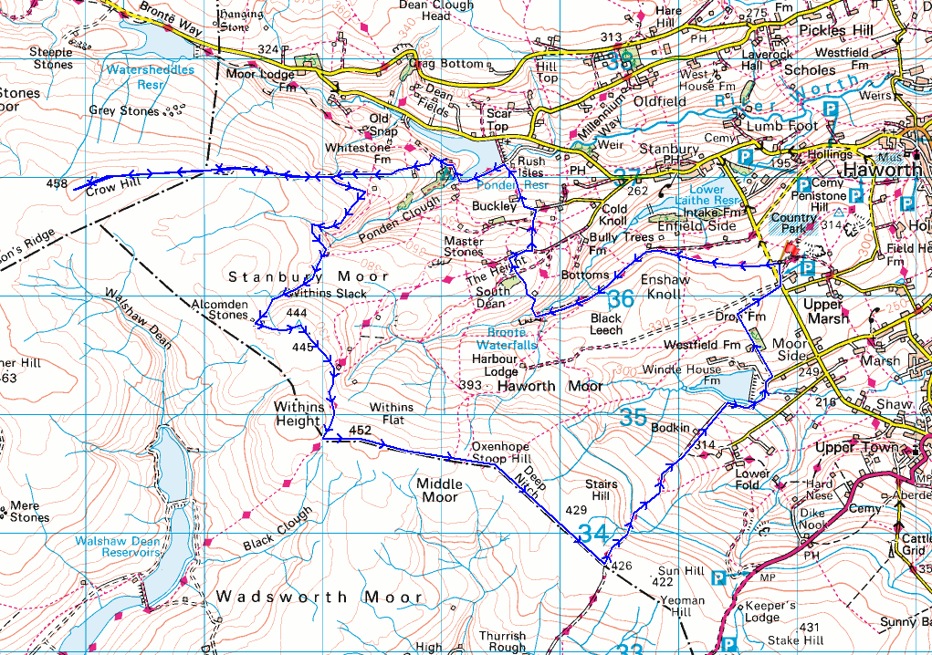
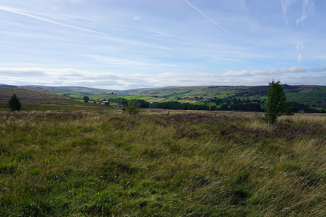
The Worth Valley from Penistone Hill Country Park on a lovely summer's morning..
Leaving Penistone Hill Country Park I take the footpath across the northern slopes of Haworth Moor towards Bronte Bridge..
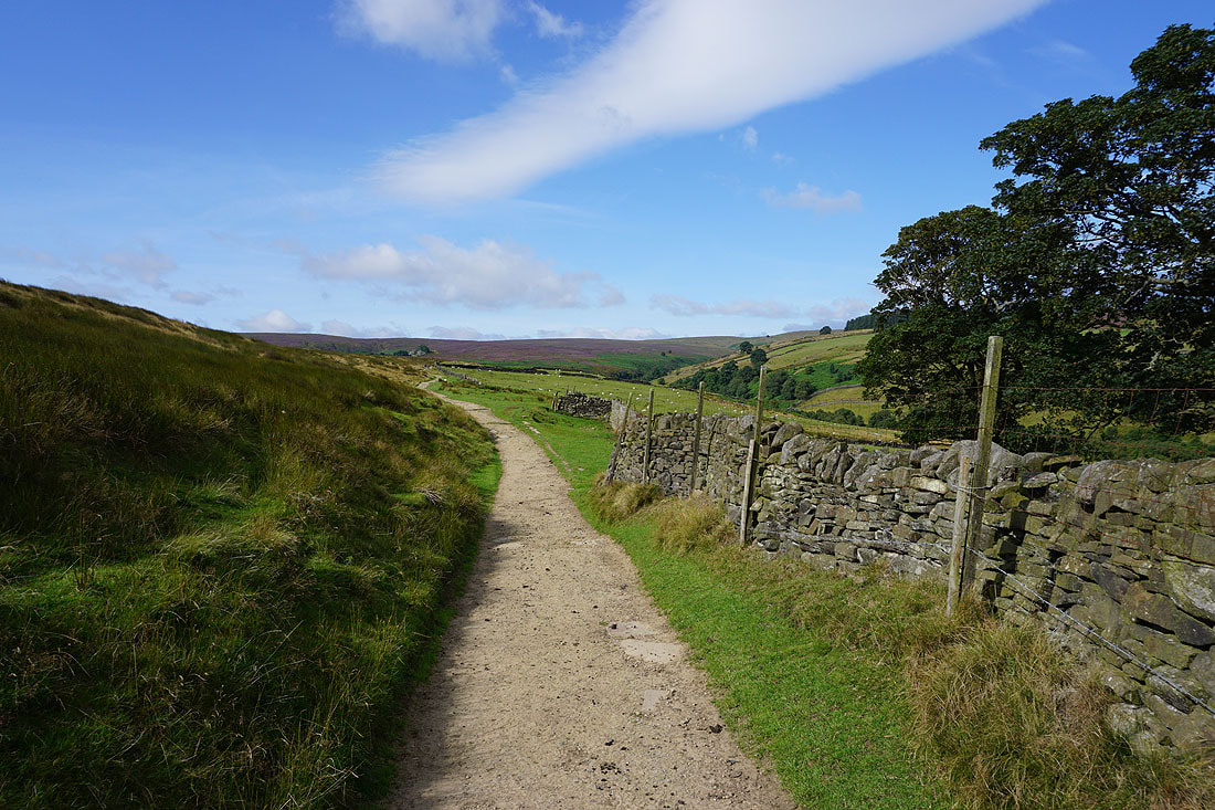
Looking back to the village of Stanbury
Heading down to and across South Dean Beck at Bronte Bridge..
On the moorland of The Height. The solitary tree in the distance marks the site of Top Withins.
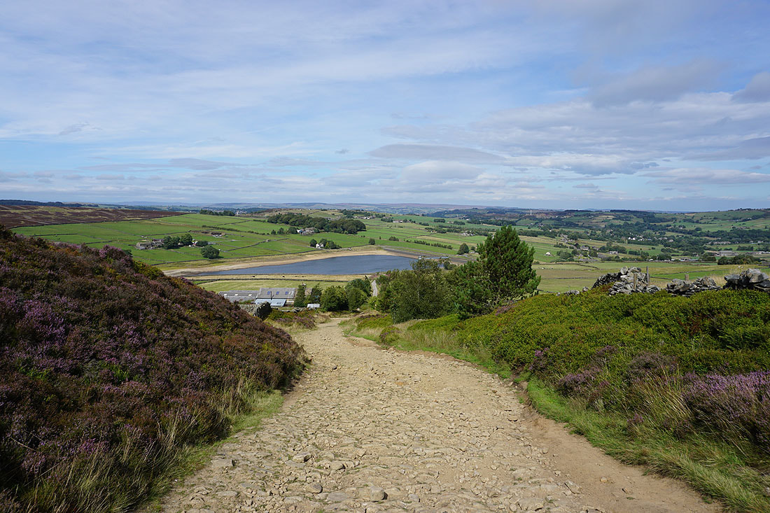
Following the Pennine Way down to a decidedly less than full Ponden Reservoir...
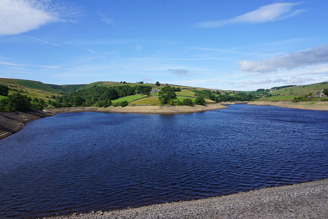
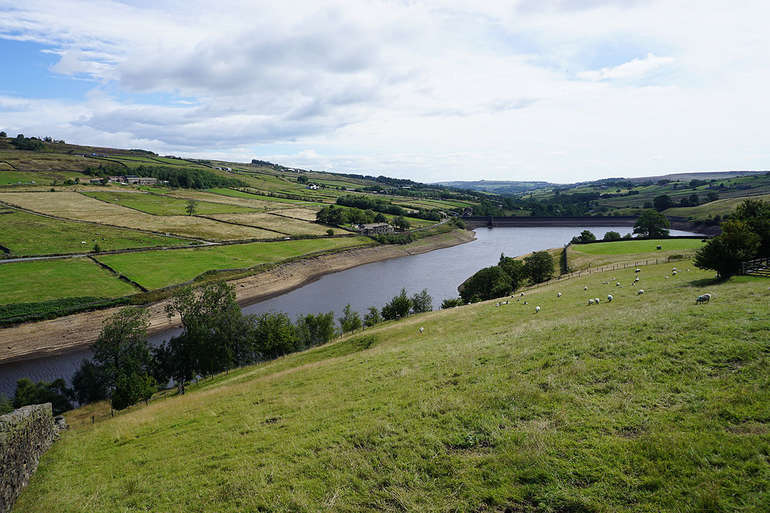
Ponden Reservoir from the Pennine Way to Ponden Hall
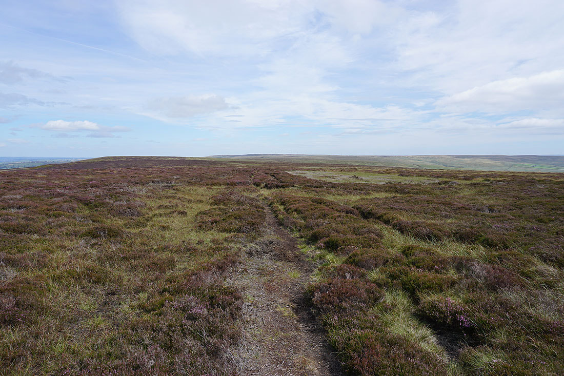
Above Ponden Hall I leave the Pennine Way and take a track that heads up onto the moorland to the east of Crow Hill
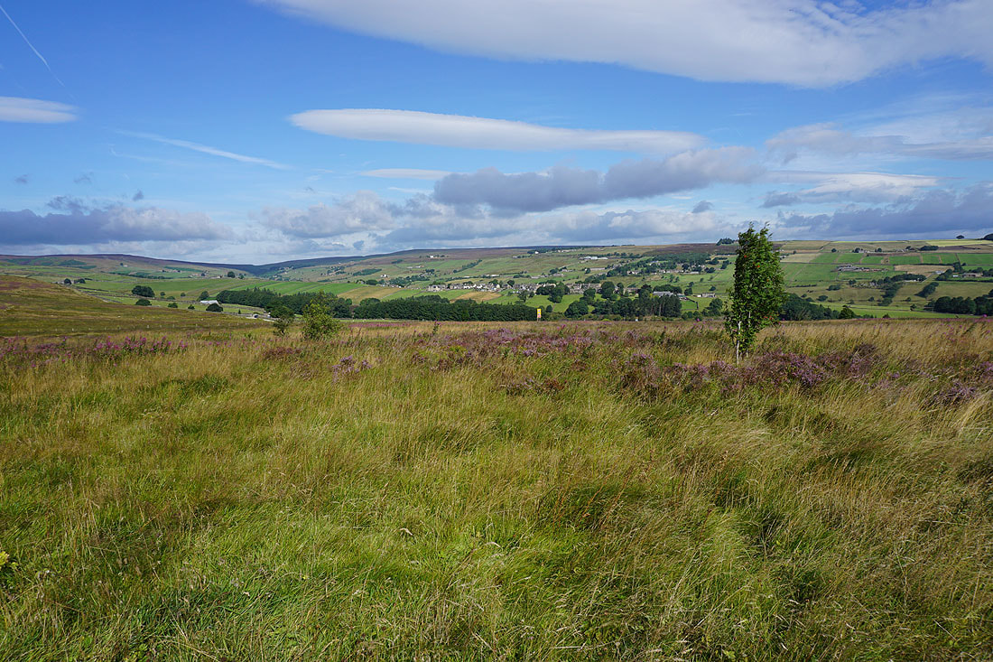
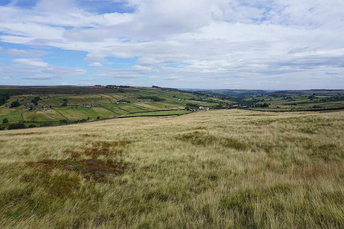
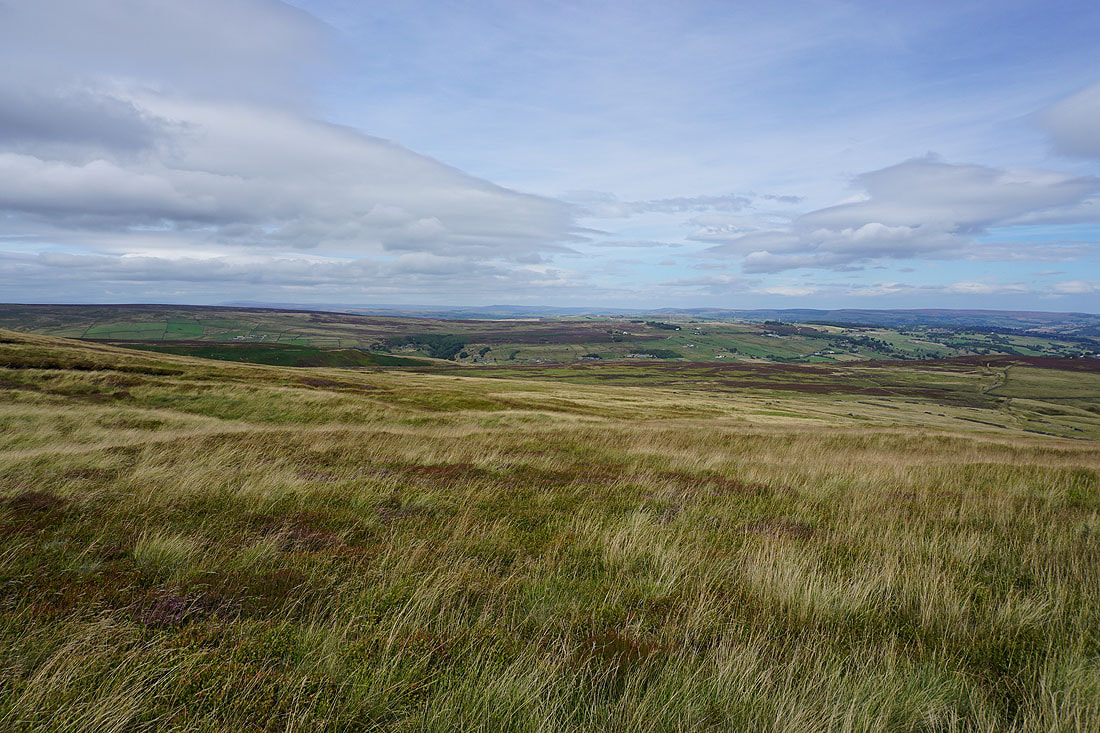
Looking across the Worth Valley to Oakworth Moor
and down the Worth Valley towards Haworth
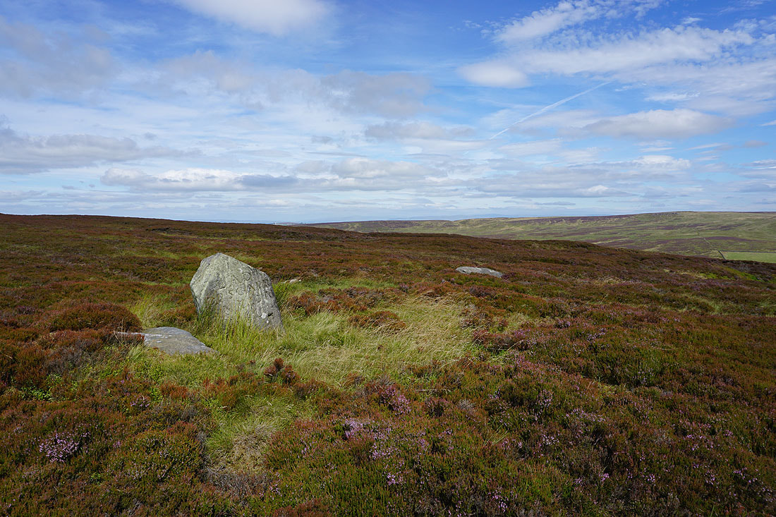
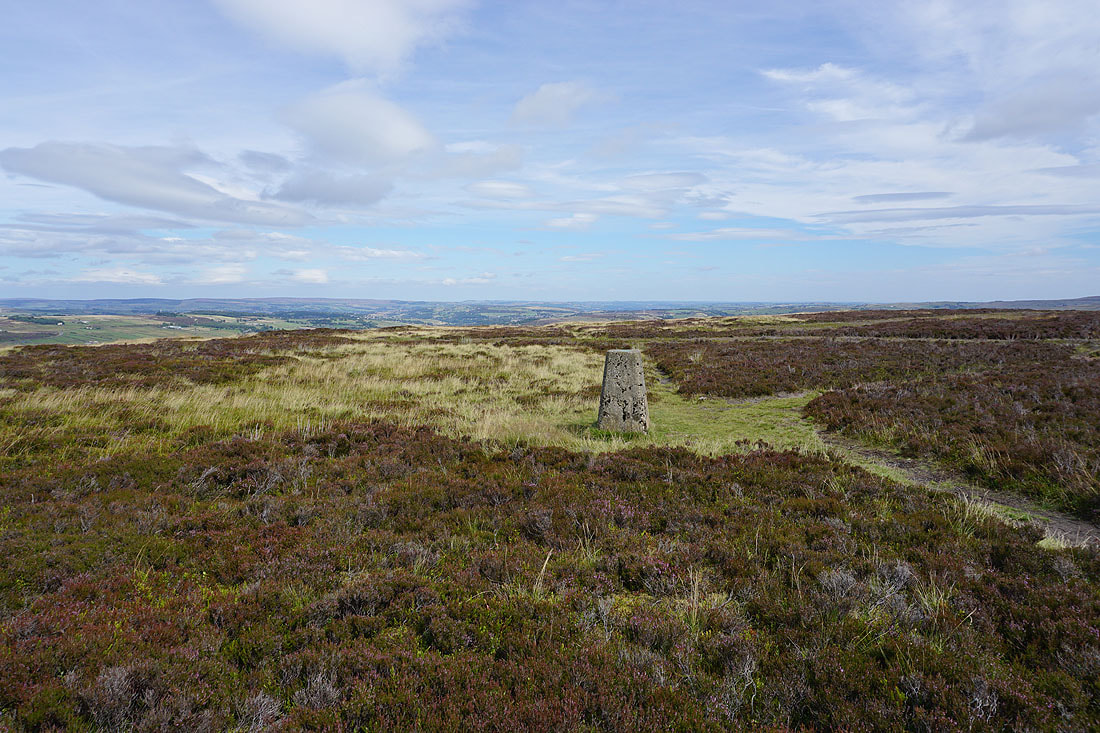
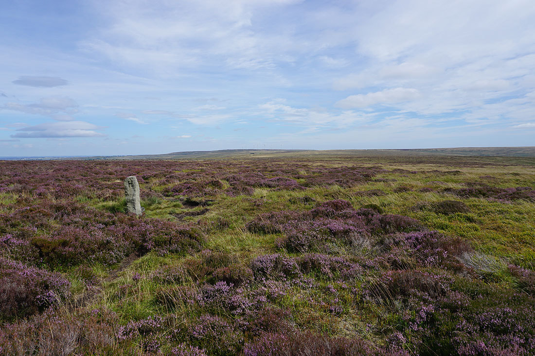
At the Lad o'Crow Hill boundary stone
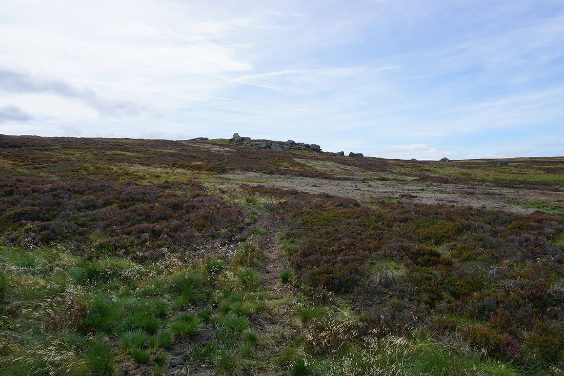
Heading for the top of Crow Hill
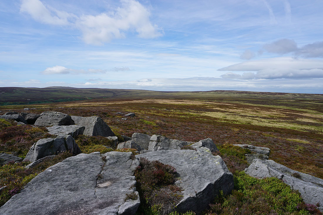
The moorland of Wolf Stones to the north
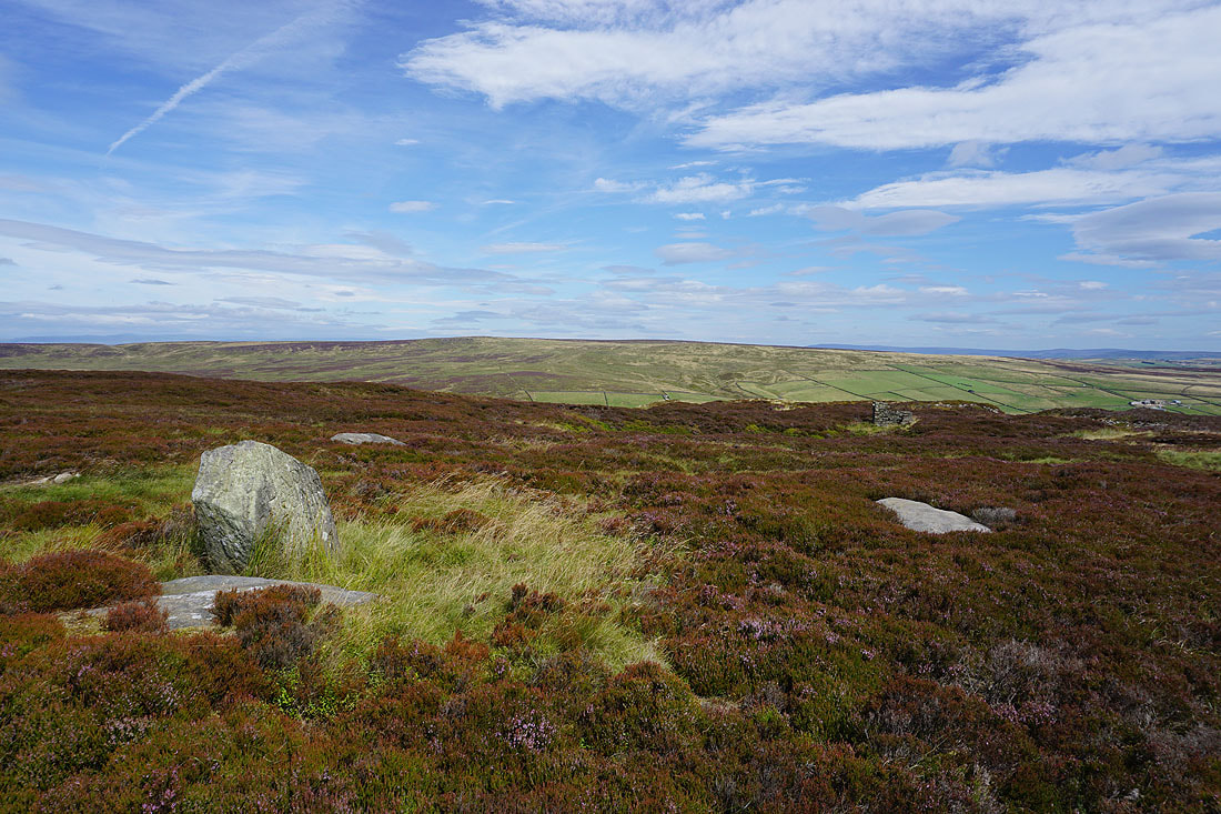
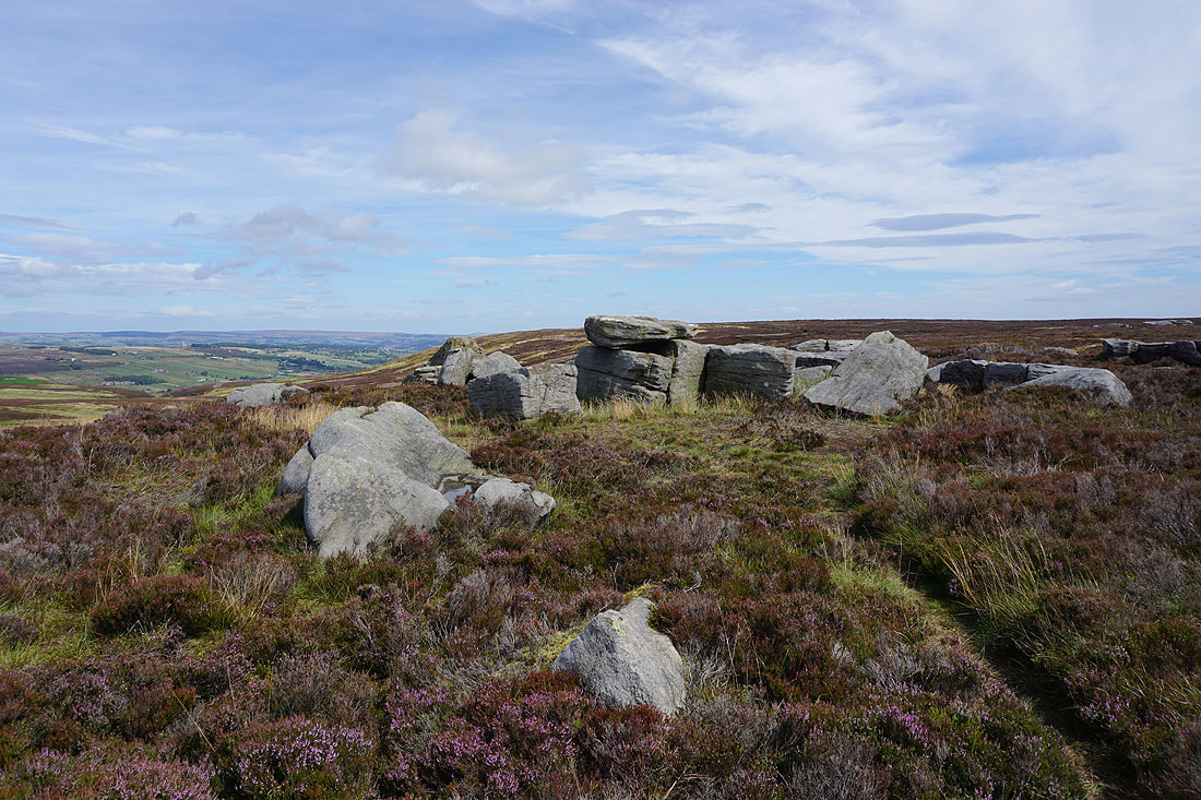
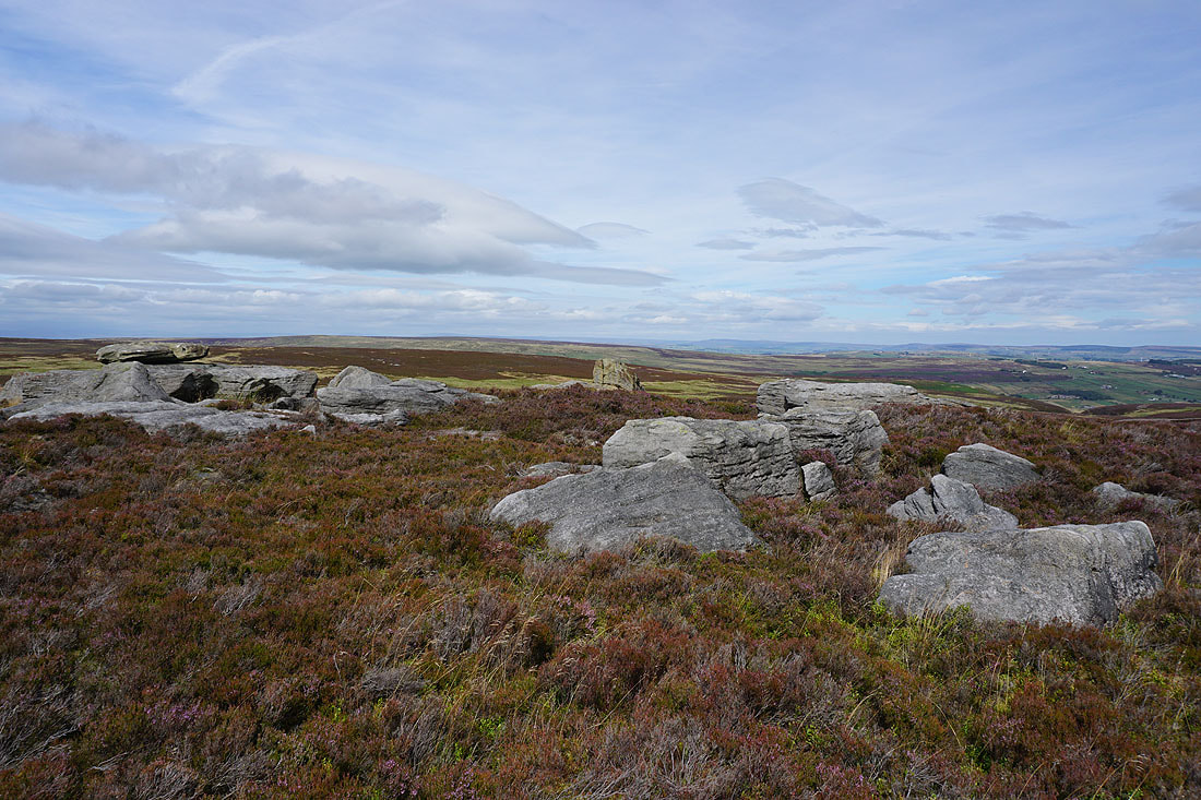
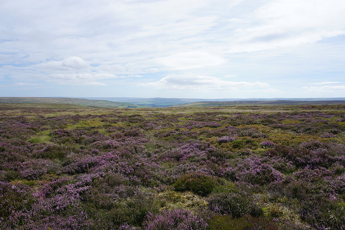
The view from the top of Crow Hill. Boulsworth Hill to the west.
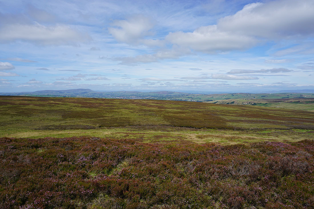
To the northwest, Pendle Hill, Colne, and Weets Hill, with the Forest of Bowland in the far distance
and to the north the hills of the Yorkshire Dales beyond Combe Hill, Wolf Stones, and the moorland around Lothersdale
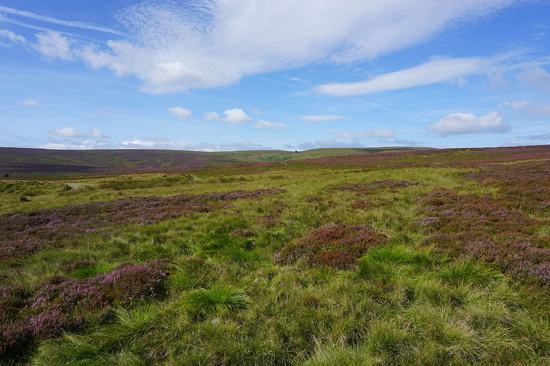
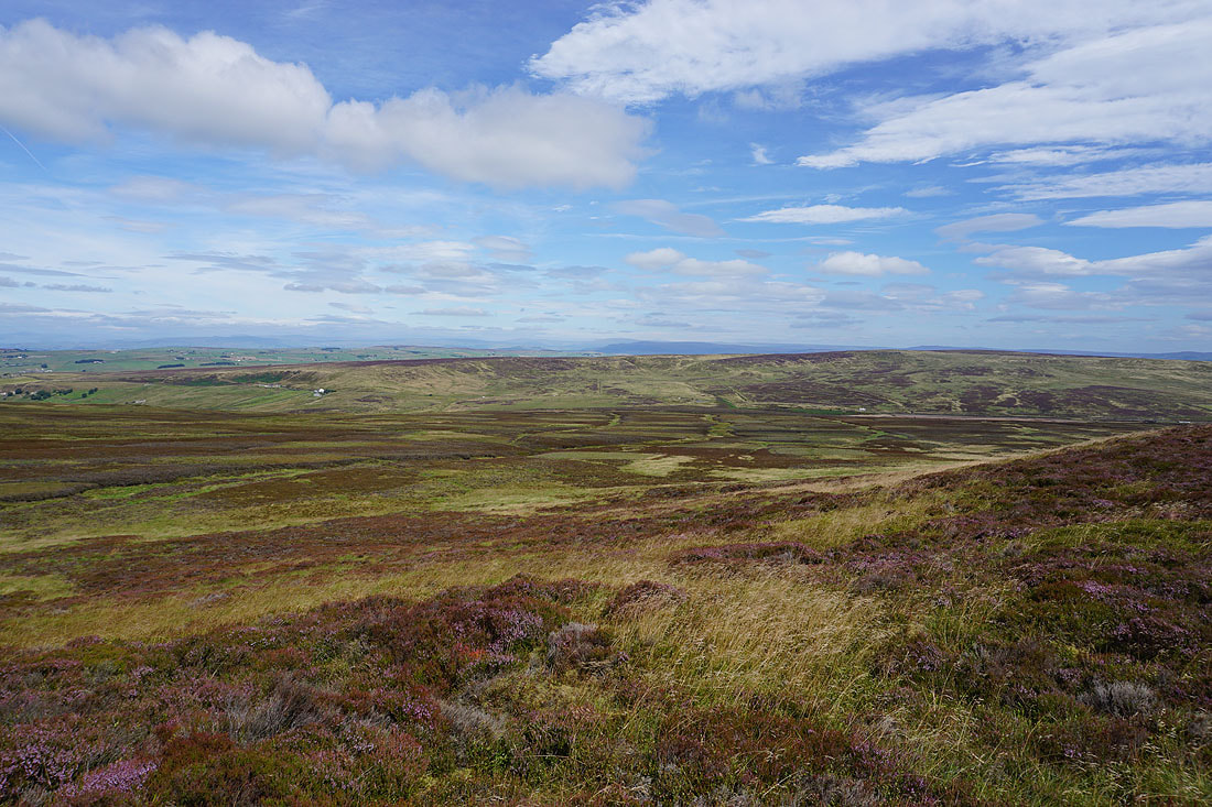
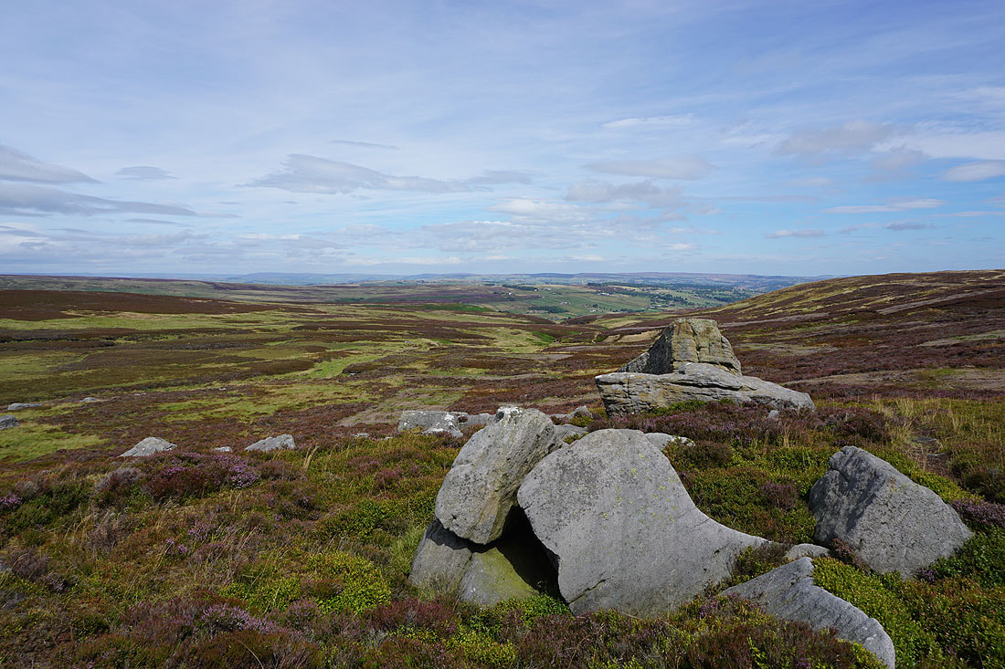
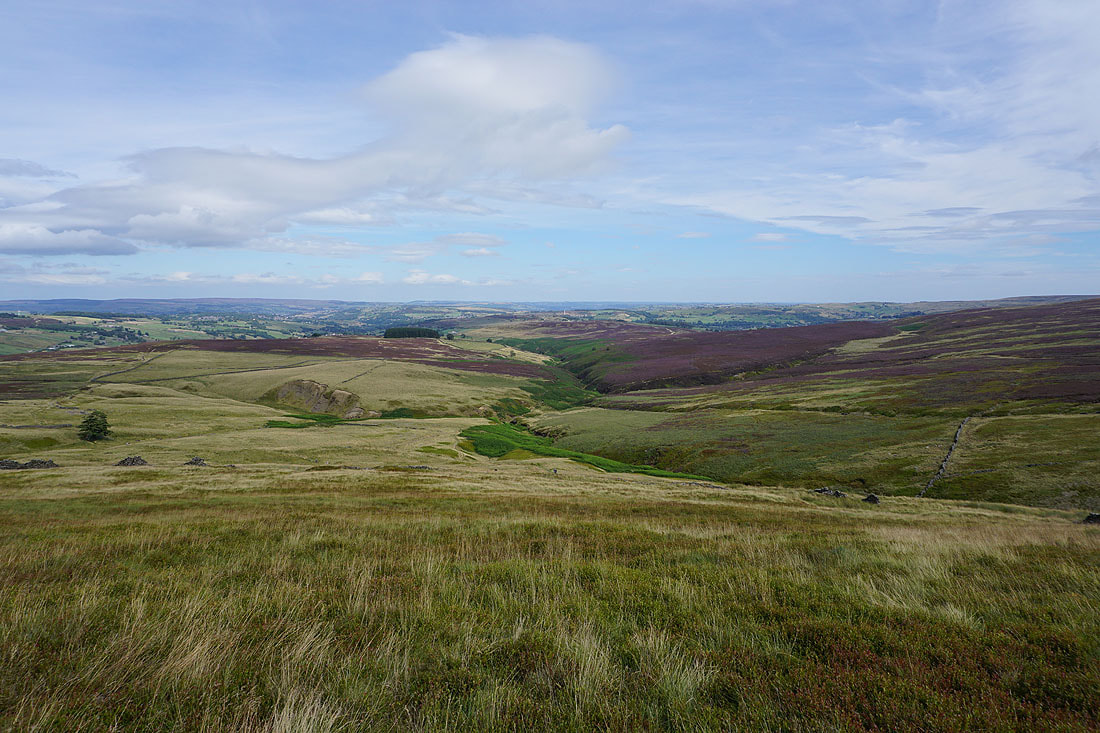
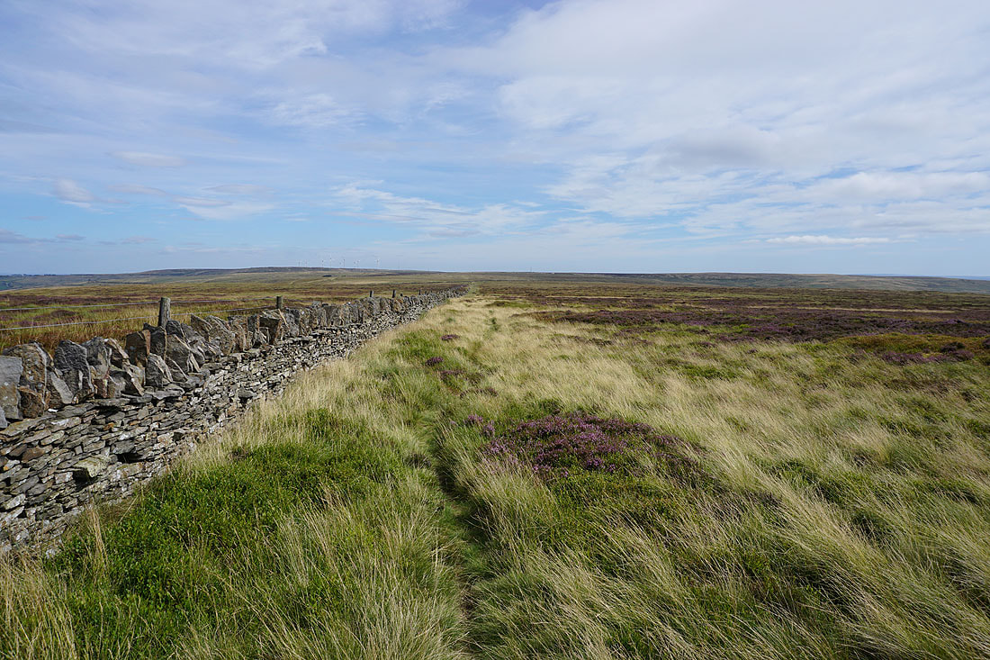
Stanbury Moor to the southeast. I had thought about taking the direct route across to the Alcomden Stones, but then I'd miss out on walking above Ponden Clough.
Heading back down from Crow Hill
Wolf Stones and Oakworth Moor from the Lad o'Crow Hill boundary stone
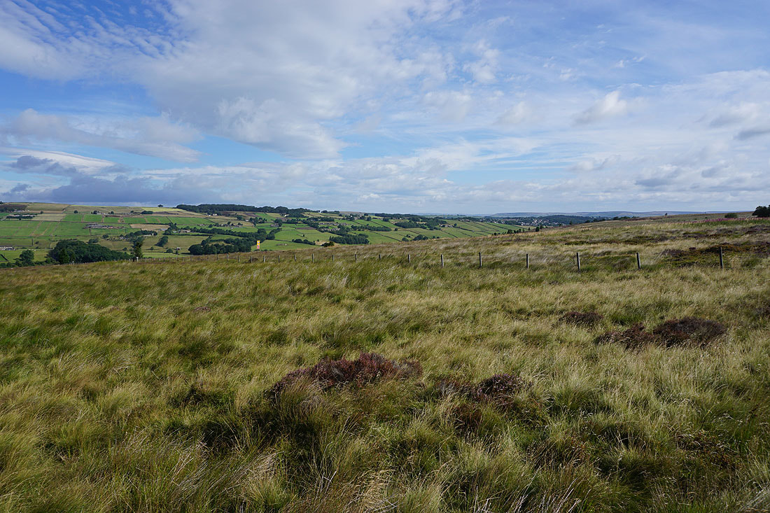
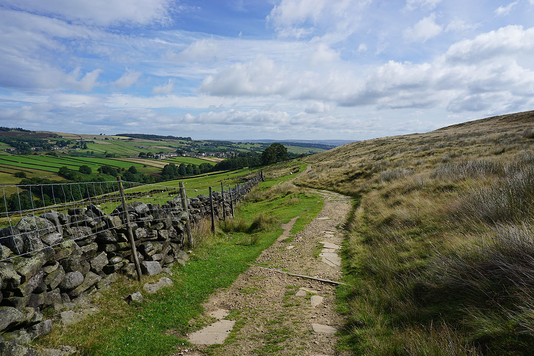
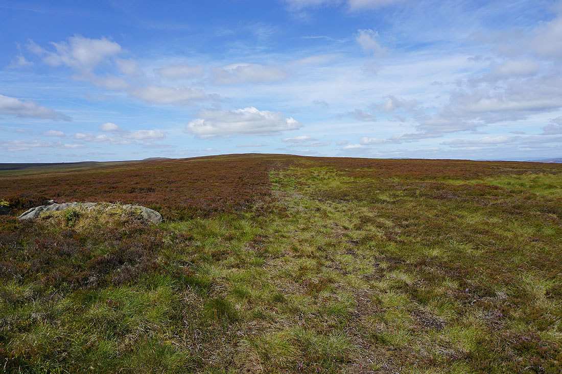
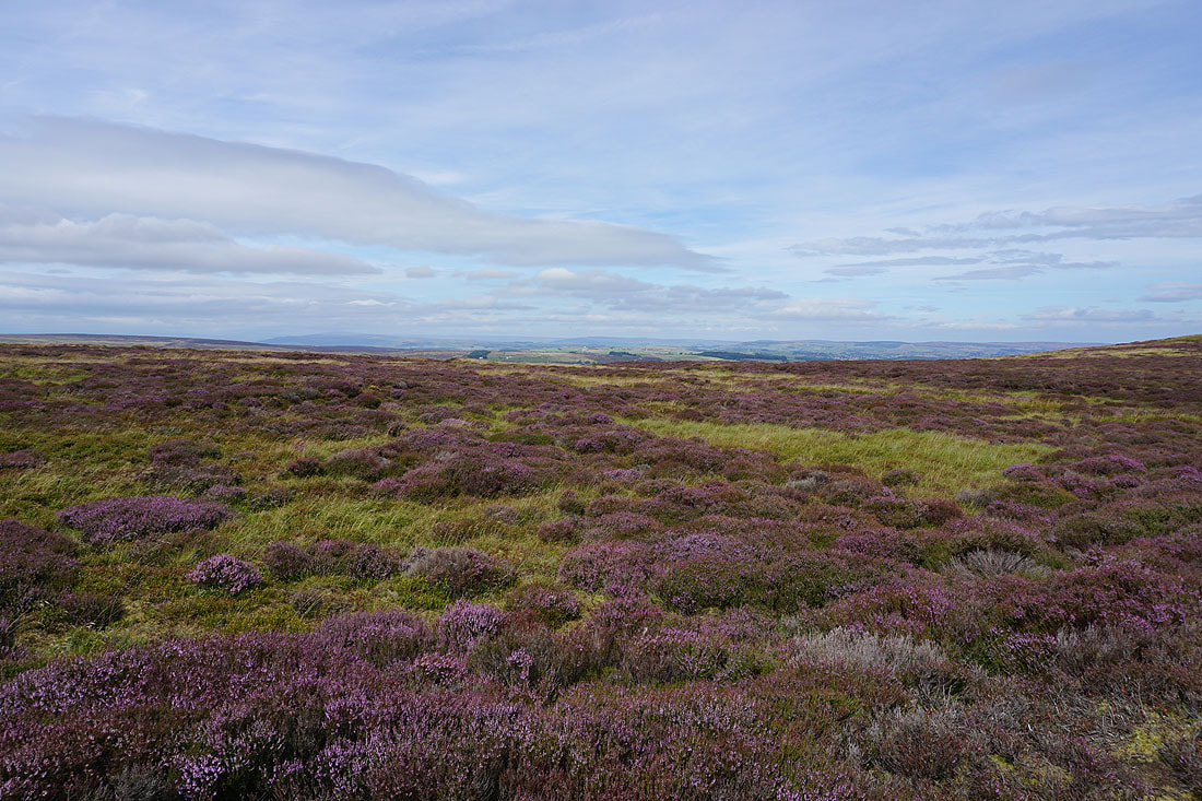
Looking across the head of the Worth Valley to Combe Hill, Watersheddles Reservoir and Wolf Stones as I reach the top of the track
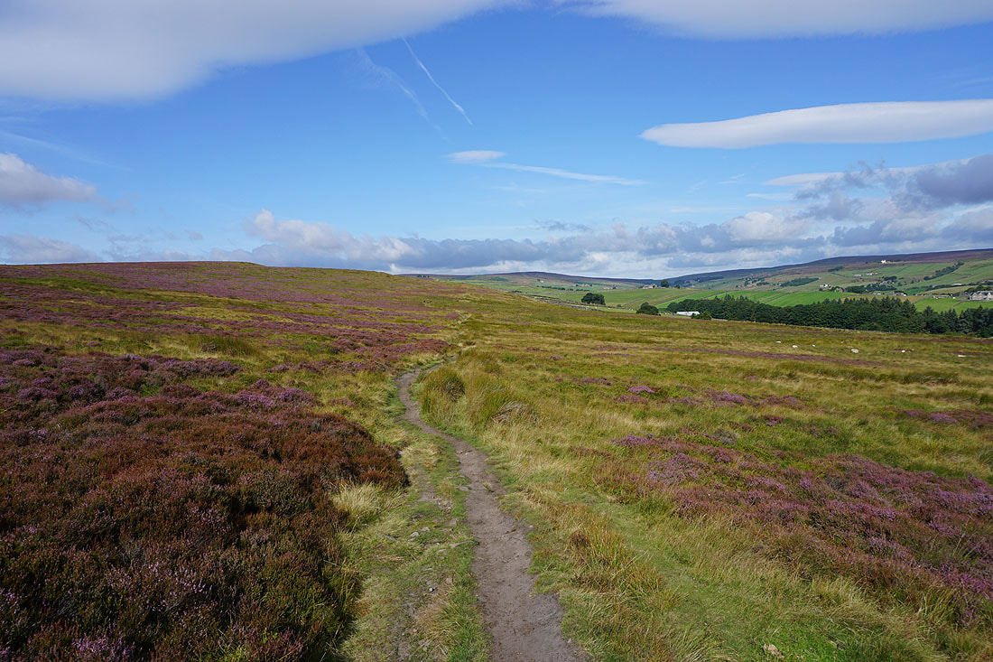
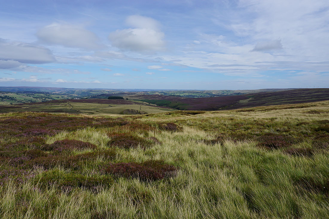
Views of the Worth Valley as I head back down to Ponden Slack...
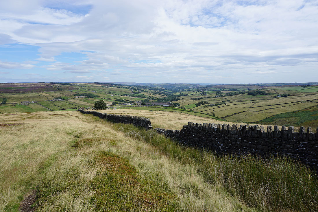
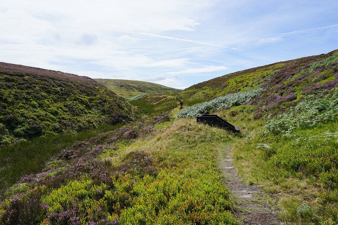
There's a great view down the Worth Valley as I walk up by Ponden Clough..
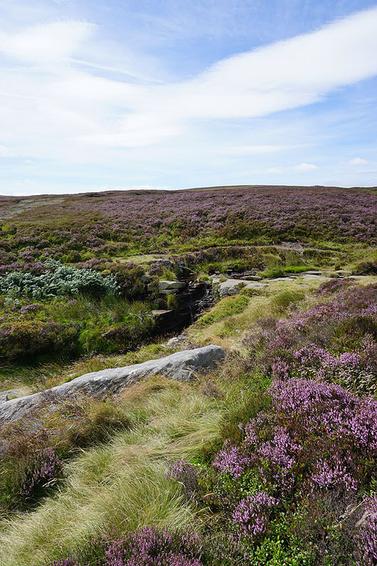
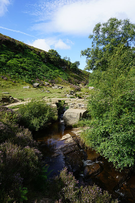
Across Ponden Clough Beck
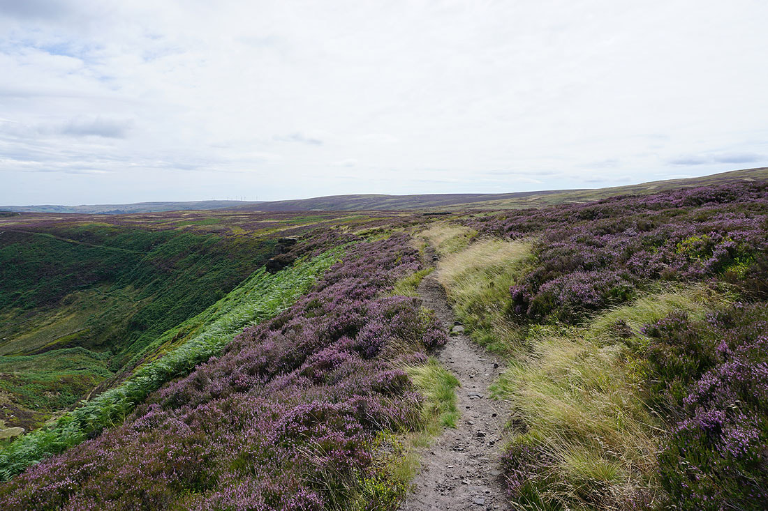
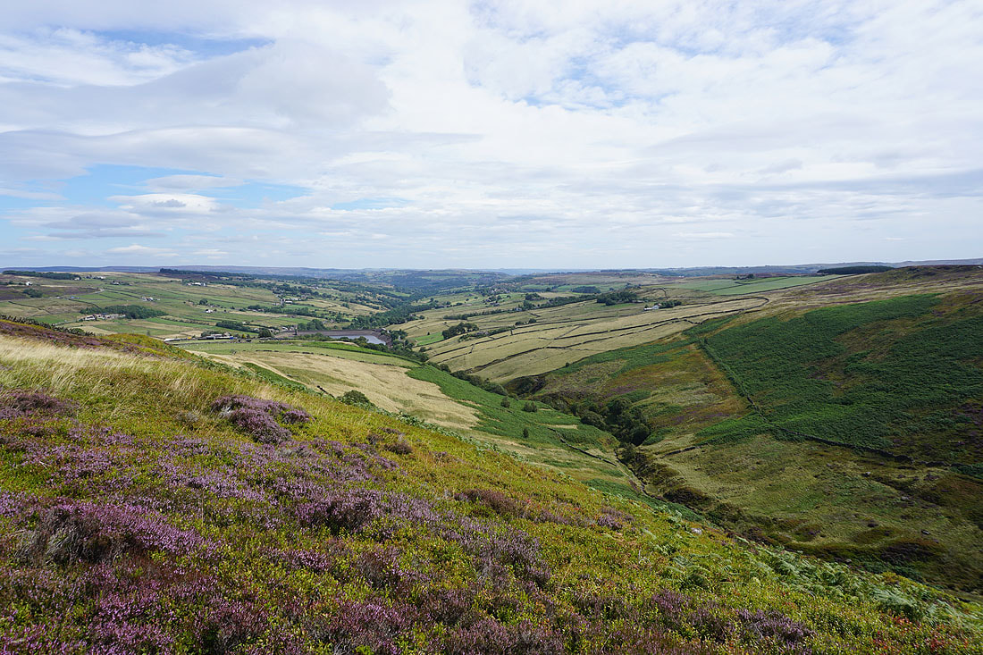
On the southern side of Ponden Clough and heading for Ponden Kirk
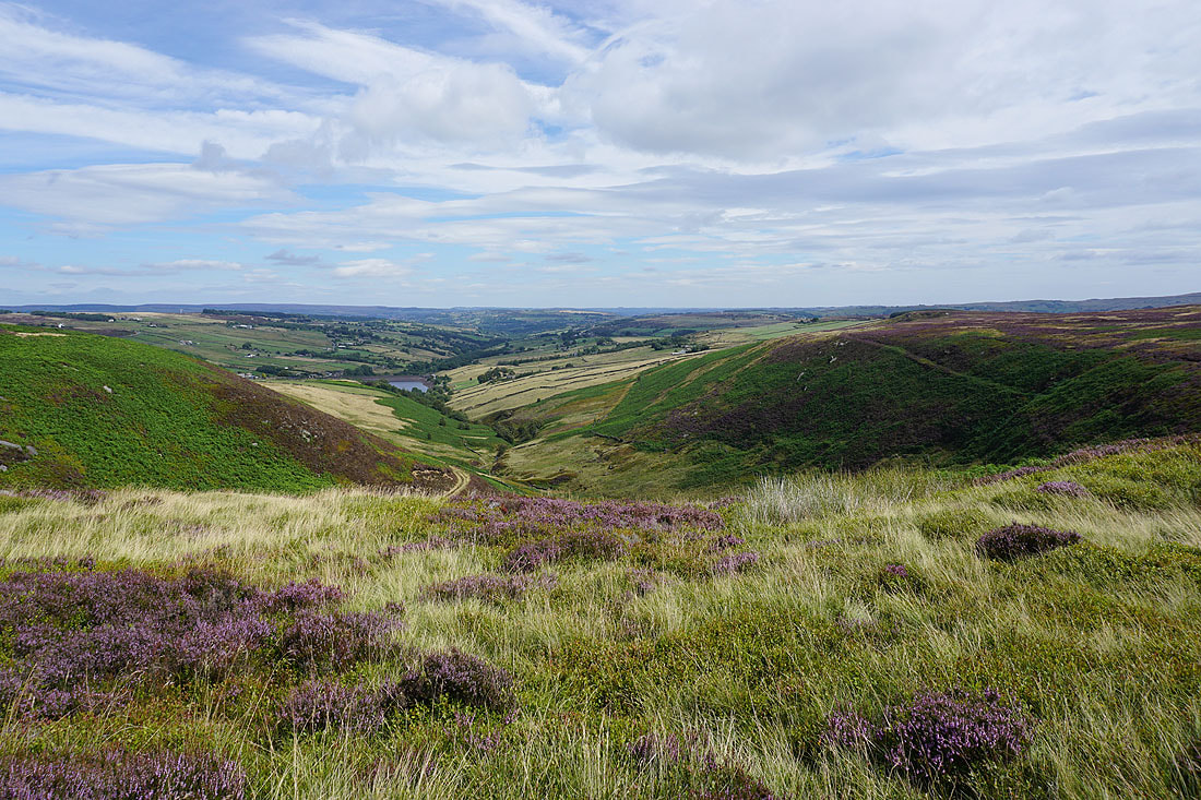
My stop with a view of Ponden Clough and the Worth Valley
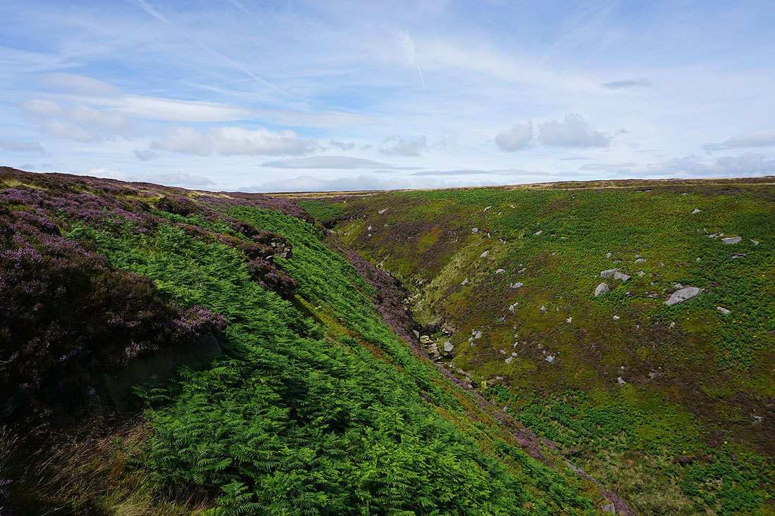
Ponden Clough
Ponden Clough from Ponden Kirk
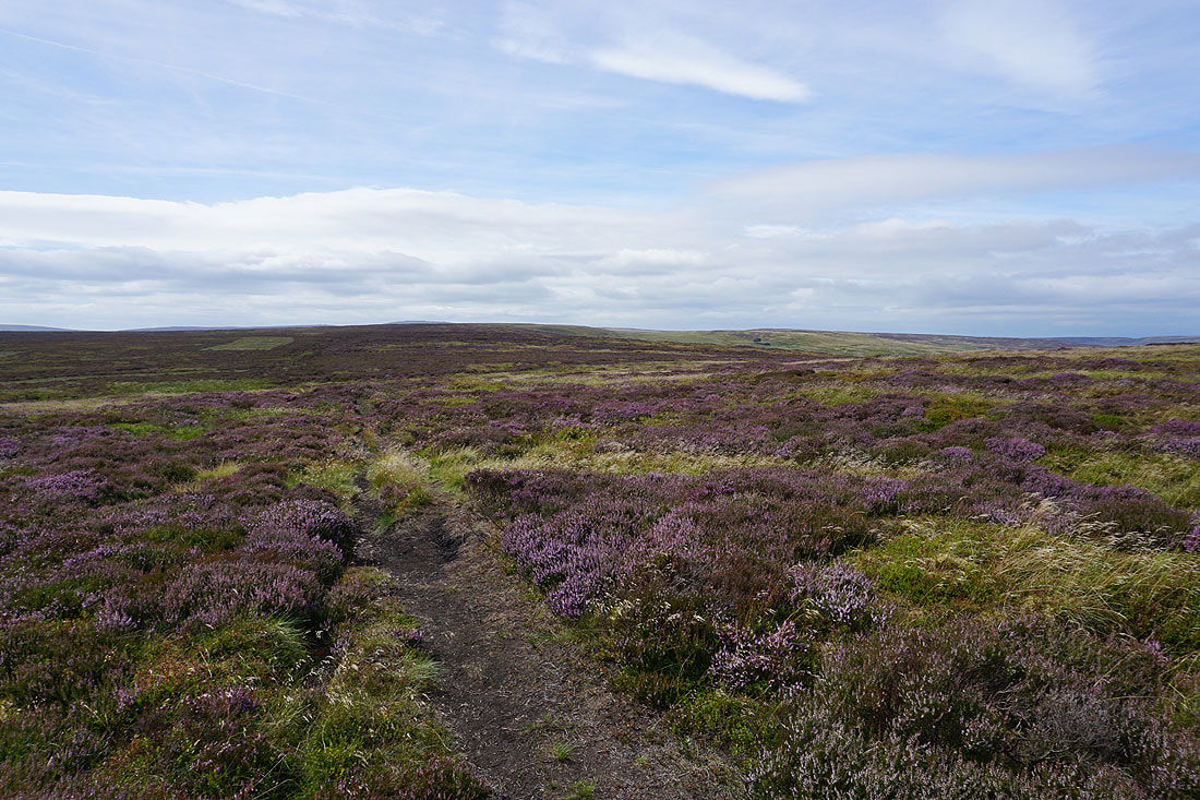
A path up Middle Moor Clough will take me to the Alcomden Stones..
At the Alcomden Stones
Boulsworth Hill and Crow Hill rise to the west and northwest
Hints of the fells of the Yorkshire Dales to the north above the moorland of Wolf Stones
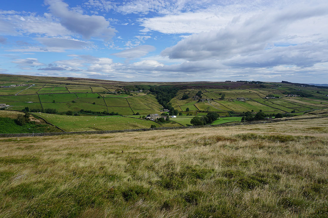
The Worth valley and the moors of Bronte country
Round Hill and Withins Height
Heather Hill on the other side of Walshaw Dean
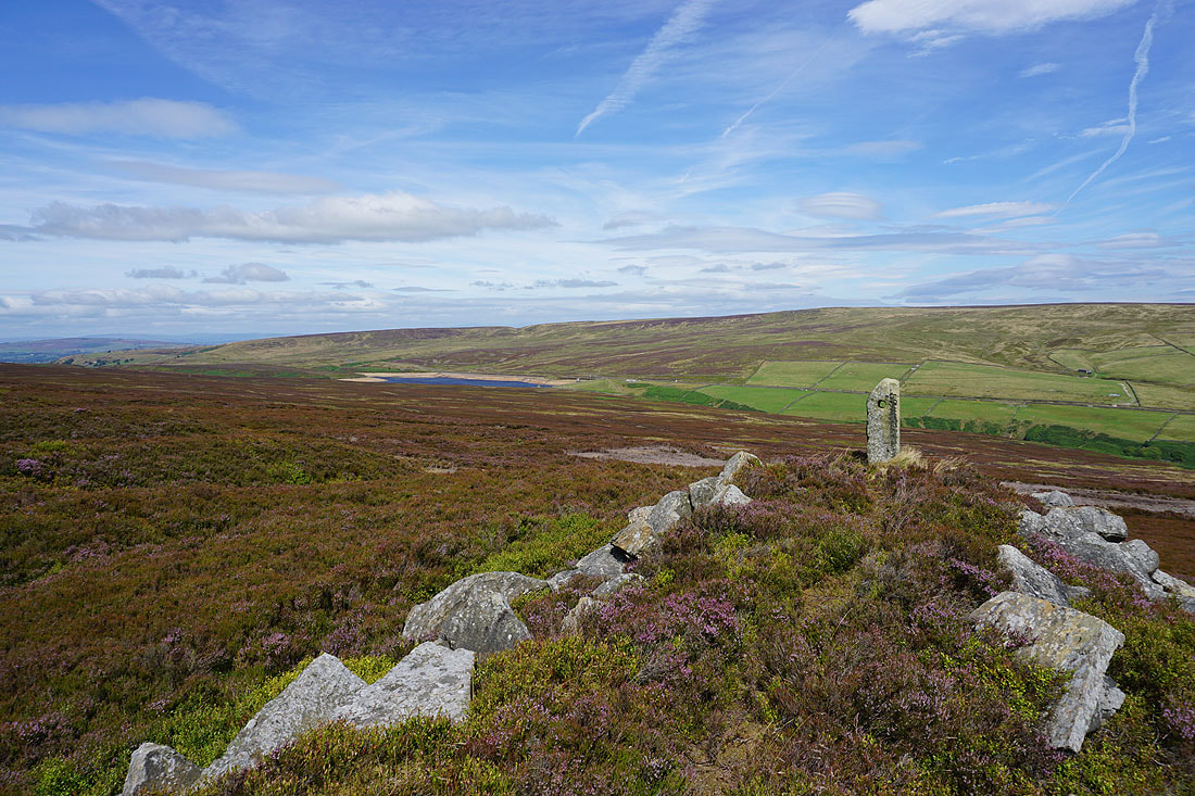
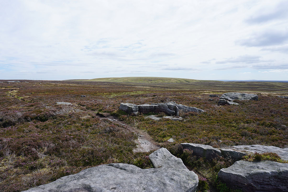
From the Alcomden Stones I've made my way to the trig point on Stanbury Moor
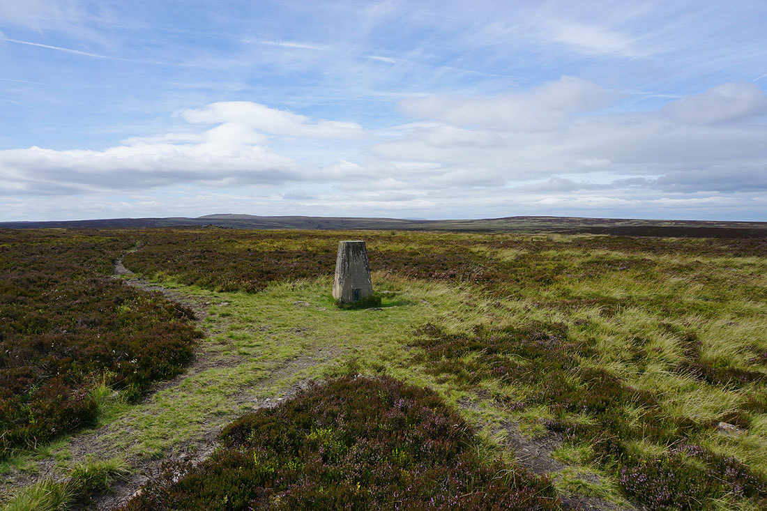
Boulsworth Hill and Crow Hill from the trig point on Stanbury Moor
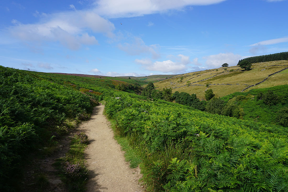
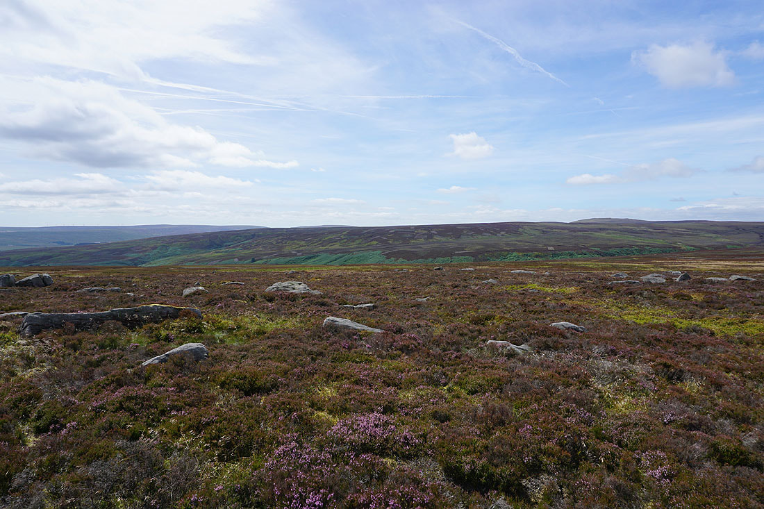
The moors of Bronte country as I make my way to Top Withins...
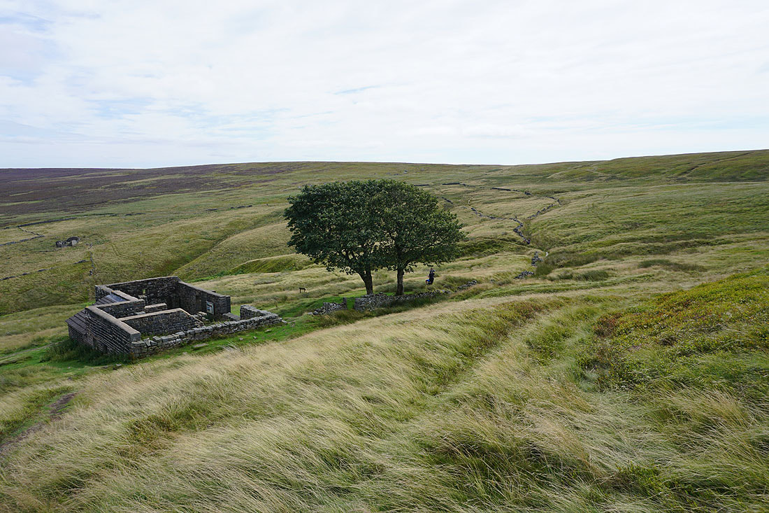
At the ruins of Top Withins
Looking back to Top Withins as I head south on the Pennine Way
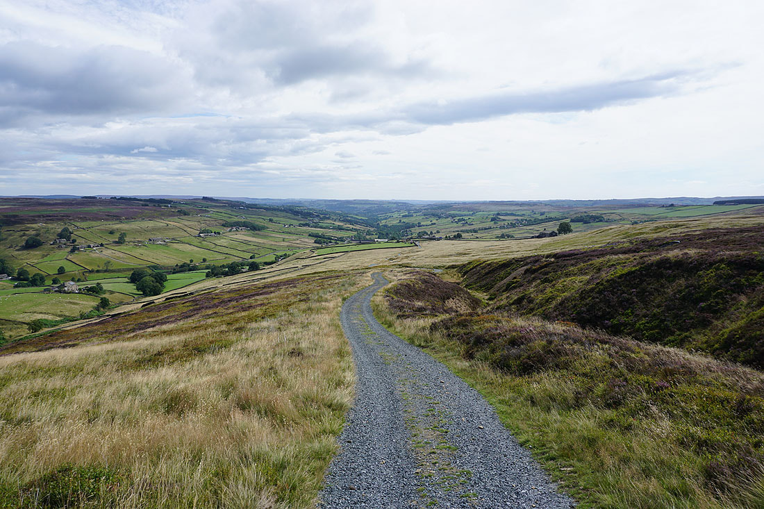
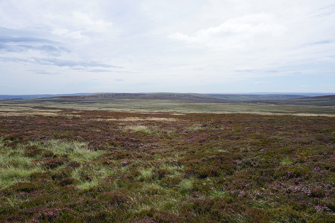
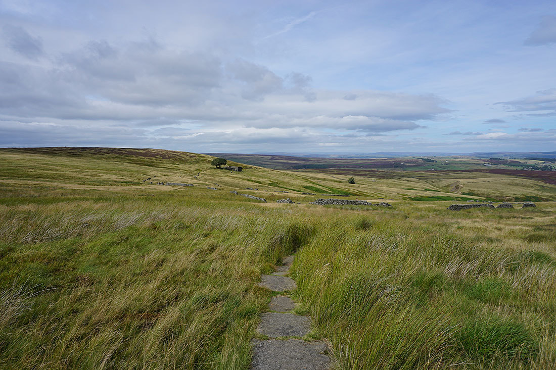
As I reach the top of the Pennine Way the moors of Calderdale come into view. This is where I leave the trail and head east along the top of the moors to Oxenhope Stoop Hill.
Heading east across Dick Delf Hill. The recent dry weather means that the normally boggy ground is firm underfoot.
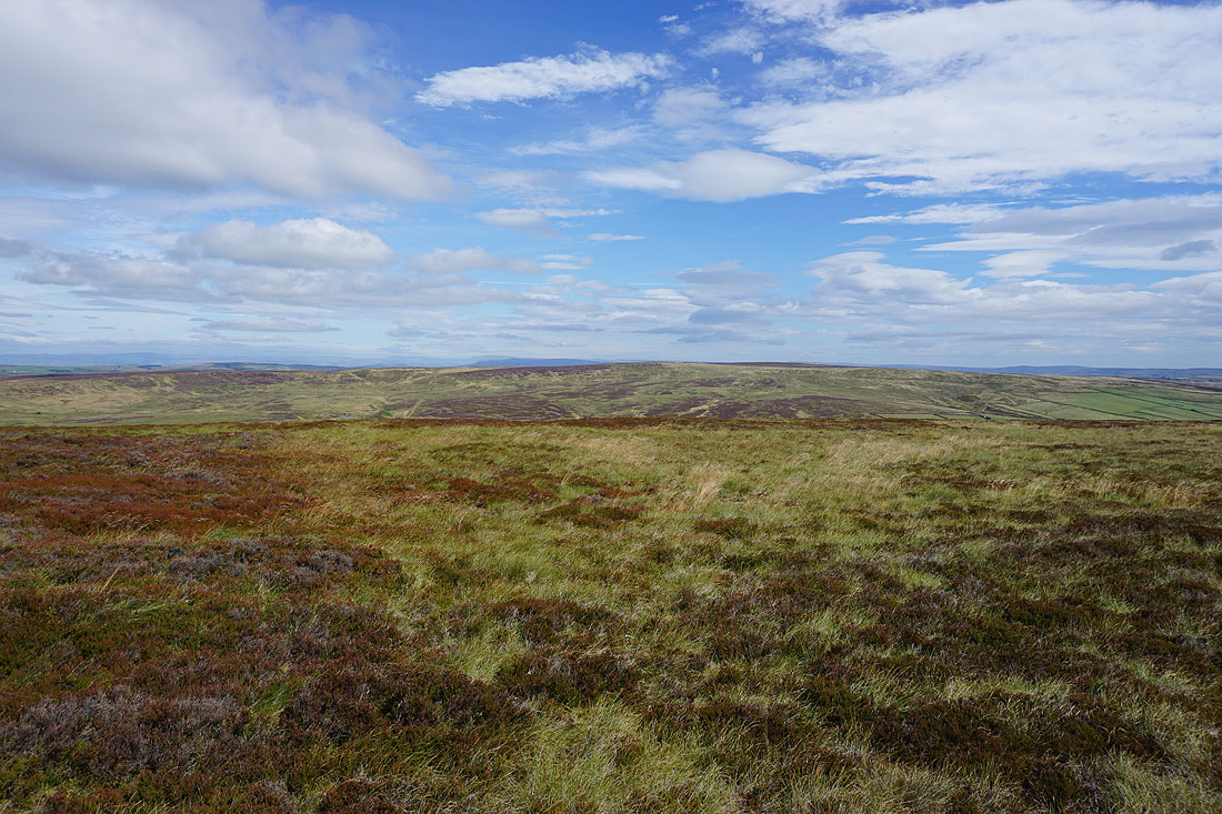
Oakworth Moor, and the moors above Airedale in the distance to the east
Looking back to Withins Height
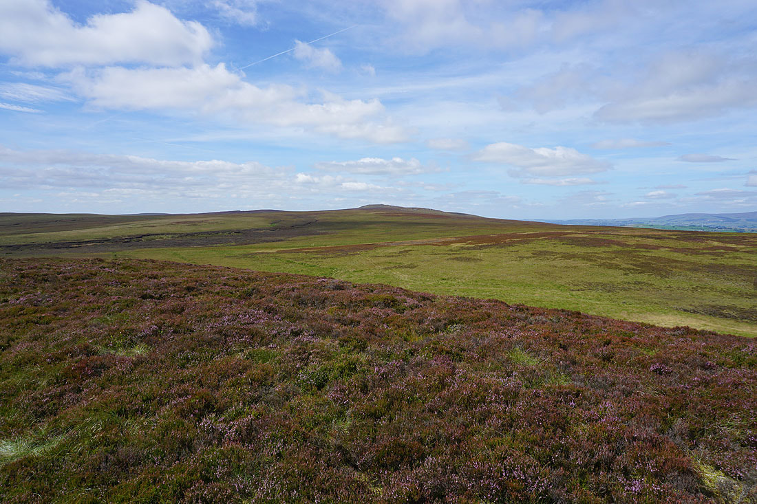
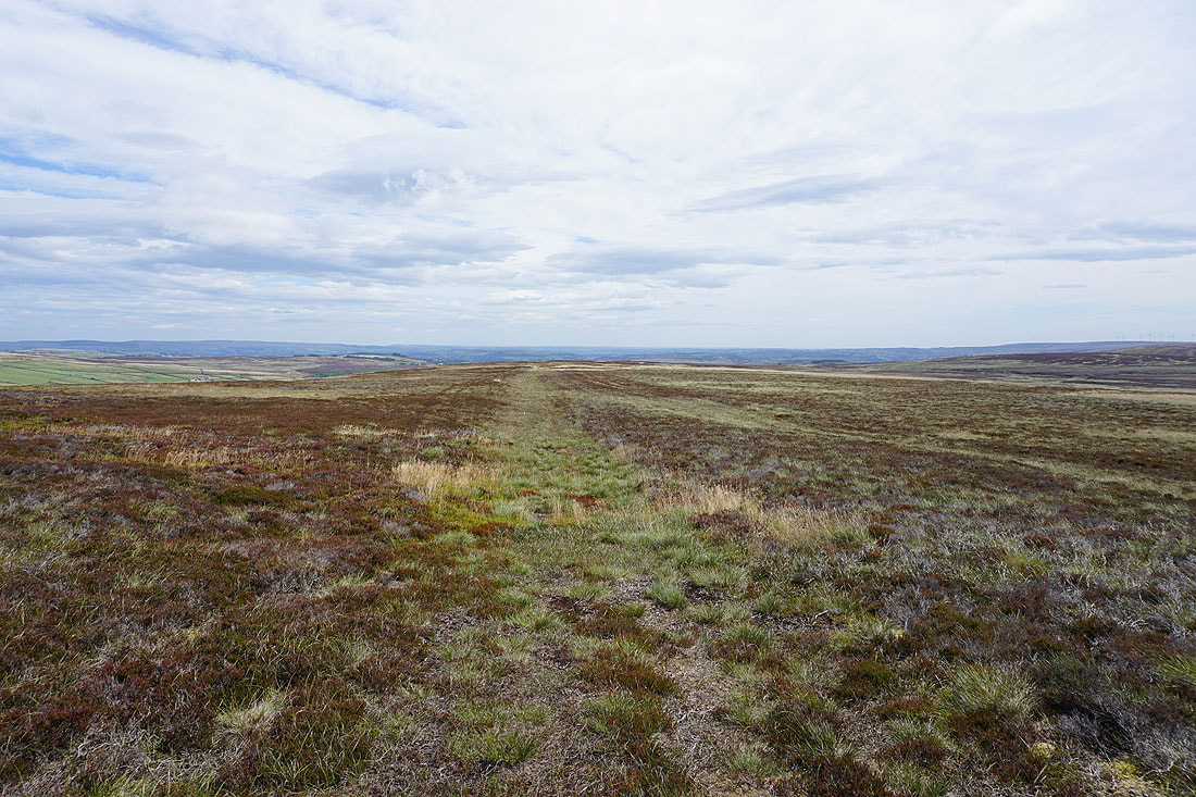
On Oxenhope Stoop Hill. Oxenhope Moor and Nab Hill to the southeast.
and looking south across the moors of Calderdale, with Blackstone Edge in the distance
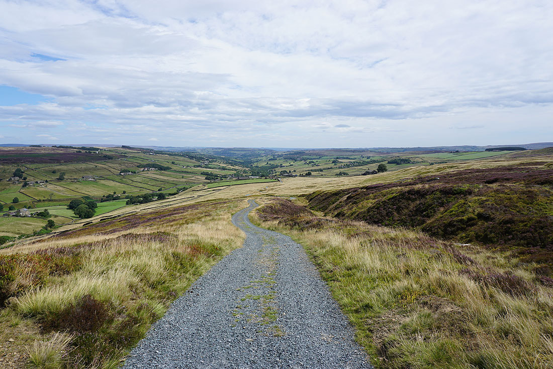
Crossing the moorland of The Waste to reach the top of Stairs Lane
Looking back to Oxenhope Stoop Hill
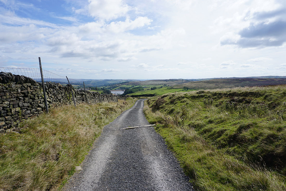
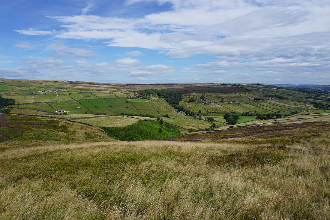
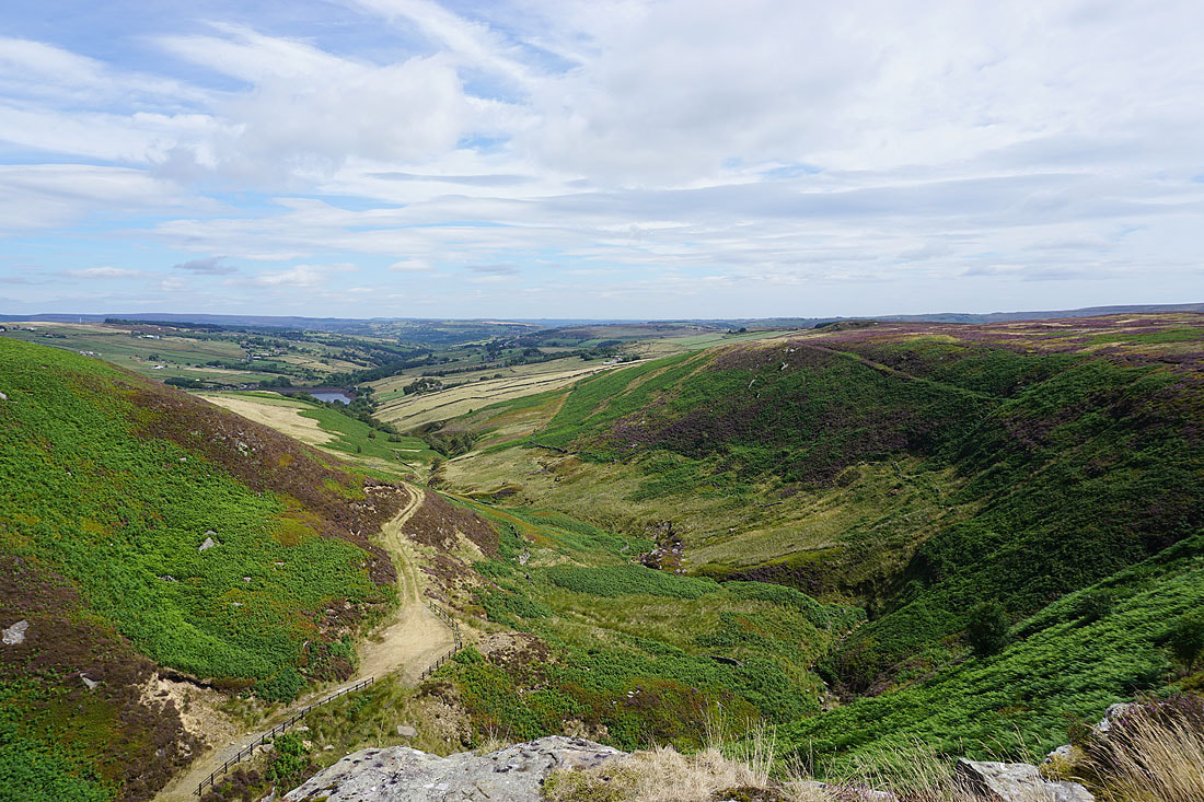
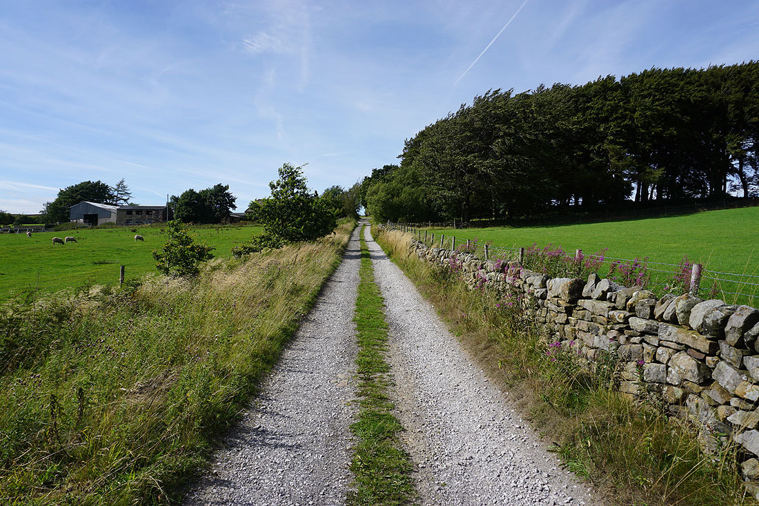
Following Stairs Lane and Bodkin Lane down to Leeshaw Reservoir..
On the footpath up past Westfield Farm
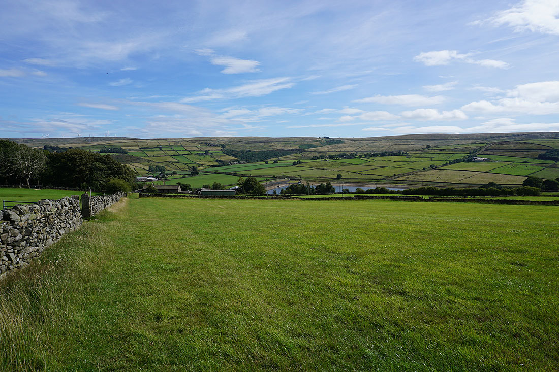
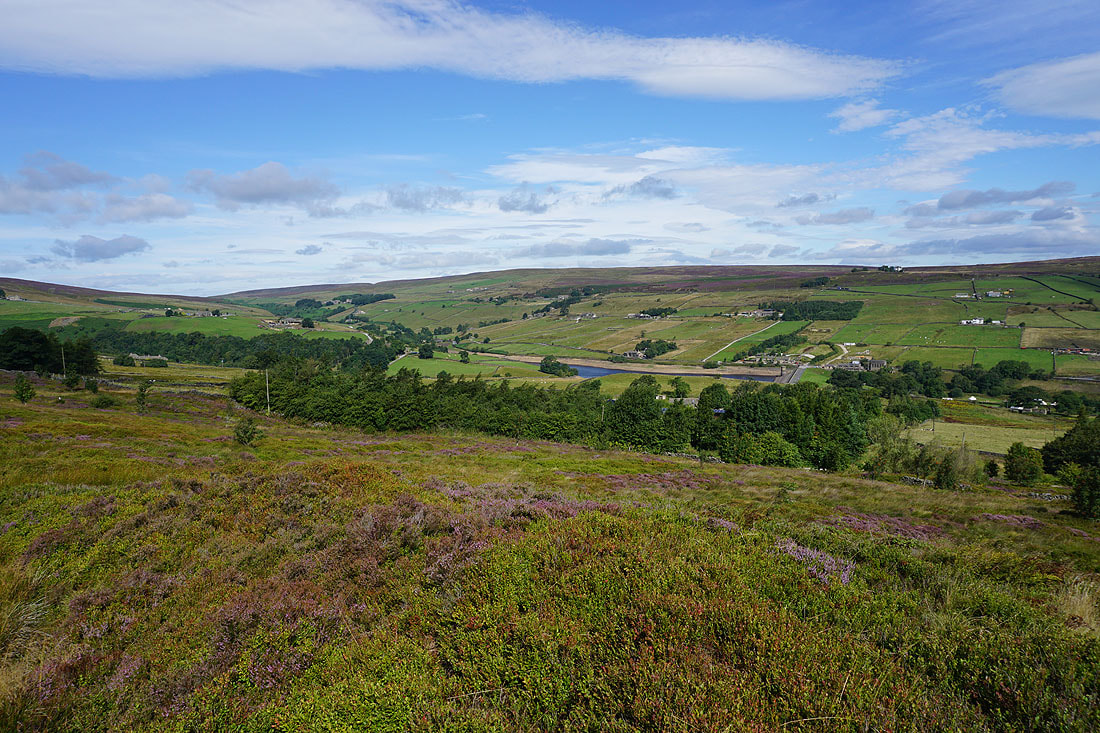
Looking back to Leeshaw Reservoir and across to Oxenhope Moor
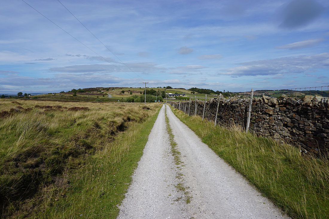
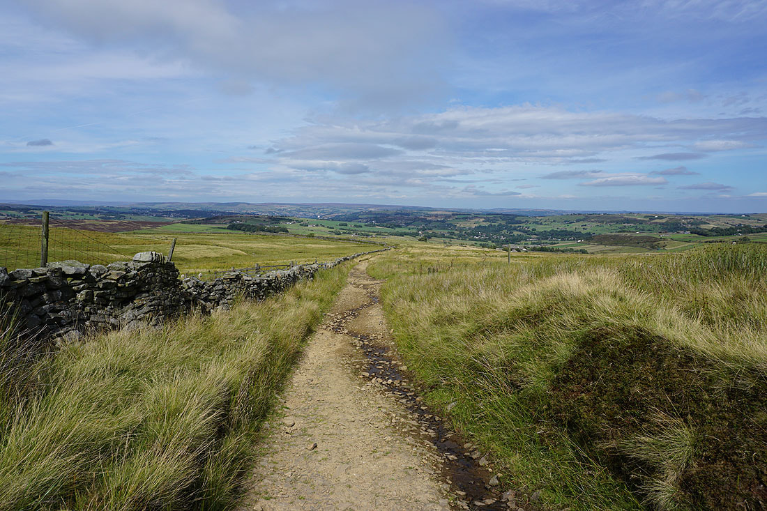
On the track from Drop Farm to Moor Side Lane and Penistone Hill Country Park
Late afternoon sunshine across the Worth Valley as I arrive back at Penistone Hill Country Park