7th December 2013 - Shutlingsloe
Walk Details
Distance walked: 6.5 miles
Total ascent: 1582 ft
OS map used: OL24 - The Peak District, White Peak area
Time taken: 3.5 hrs
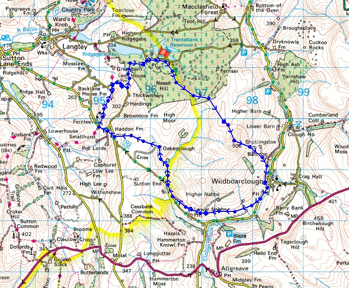
Route description: Trentabank Reservoir-Shutlingsloe-Wildboarclough-Lower Nabbs Farm-Greenway Bridge-Oakenclough-Haddon Farm-Gritstone Trail-Trentabank Reservoir
I went south into the Peak District today to find better weather and it wasn't too bad. It was windy but it stayed dry until I was heading back on the Gritstone Trail.
From the car park at Trentabank Reservoir I followed the path to the top of Shutlingsloe. I then made my descent down the other side to the hamlet of Wildboarclough. The next stretch was across a succession of fields until I reached the driveway of Lower Nabbs Farm. I then walked down the road to Greenway Bridge to pick up the footpath up Oaken Clough. This crosses High Moor to a walled path down to the road at Haddon Farm. I crossed the road to a path across a field to another road to pick up the Gritstone Trail. I followed the trail north across a few fields until I reached a road which I used to get me back to where I was parked.
Route map
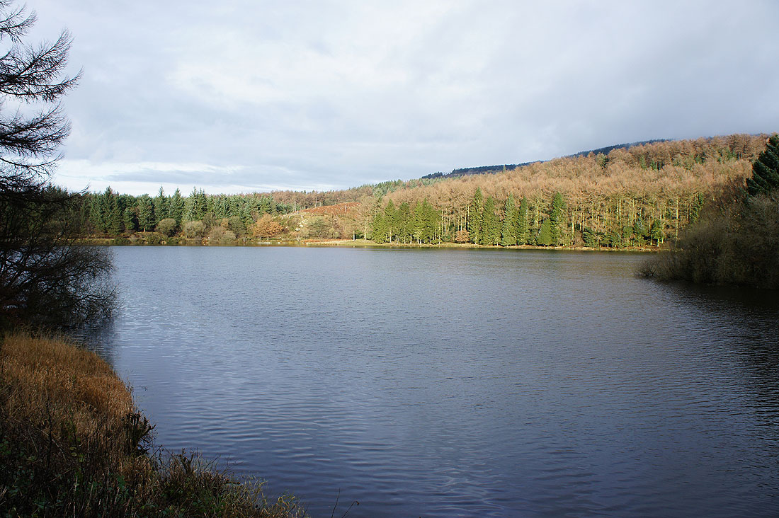
By Trentabank Reservoir at the start of the walk
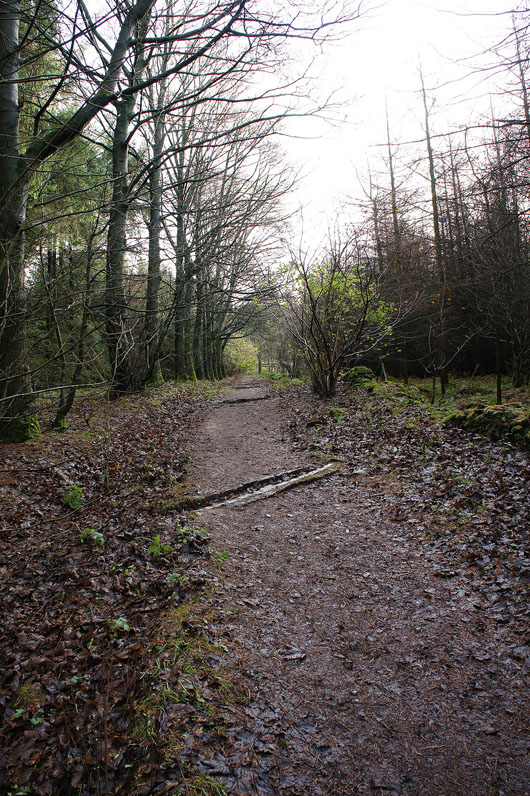
Heading up through Macclesfield Forest
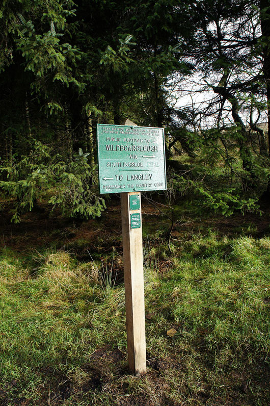
A common sight in the Peak District are these Peak District and Northern Counties Footpaths Preservation Society signposts
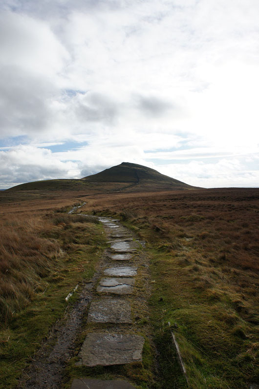
The top of Shutlingsloe in sight
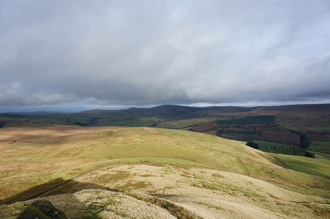
The view from the top of Shutlingsloe. Dark clouds over Shining Tor.
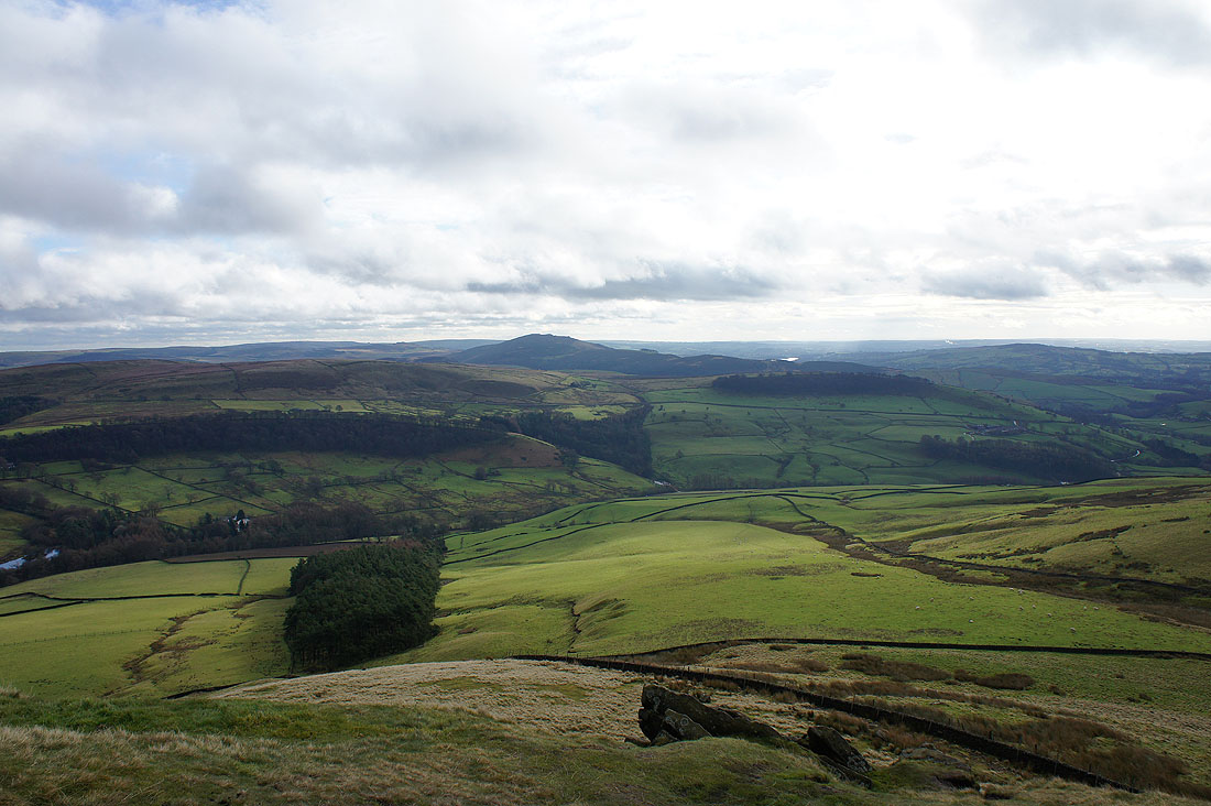
Macclesfield Forest below
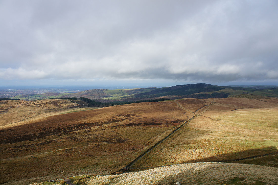
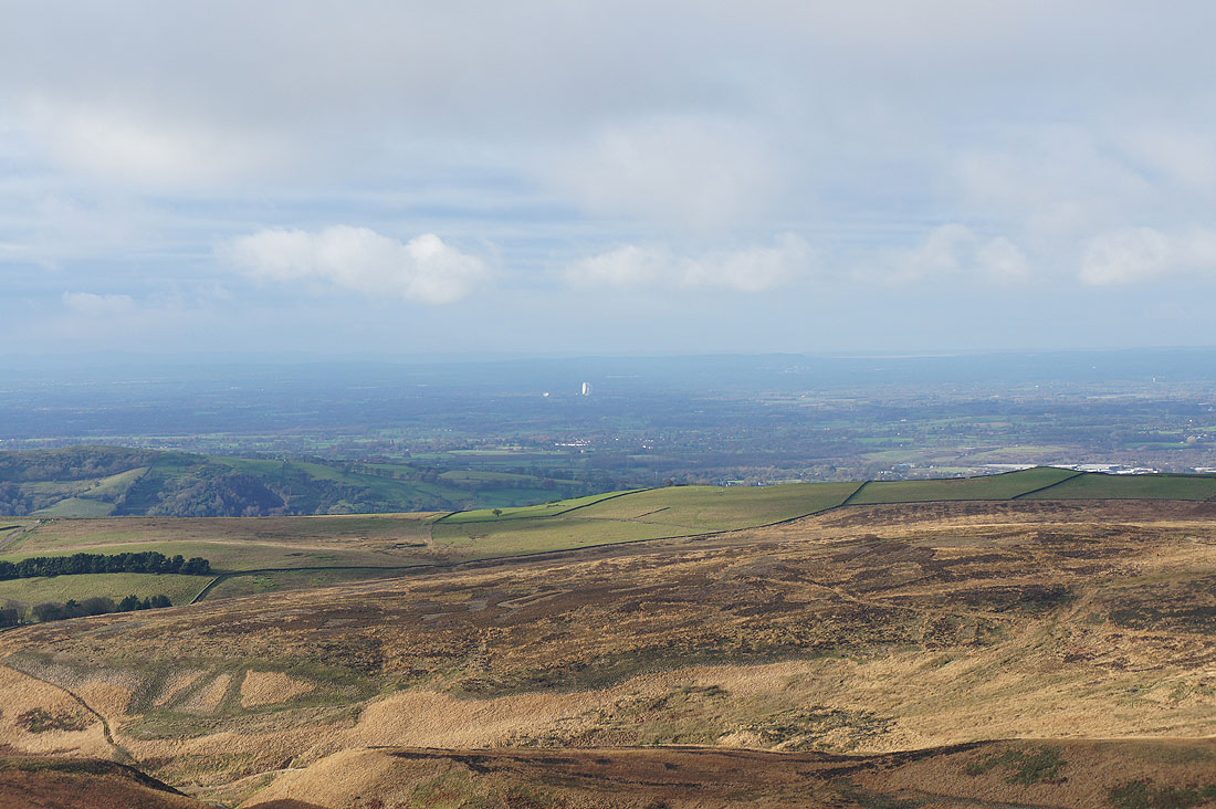
Looking west to the Cheshire Plain
Zooming in and I can spot the Lovell Observatory at Jodrell Bank
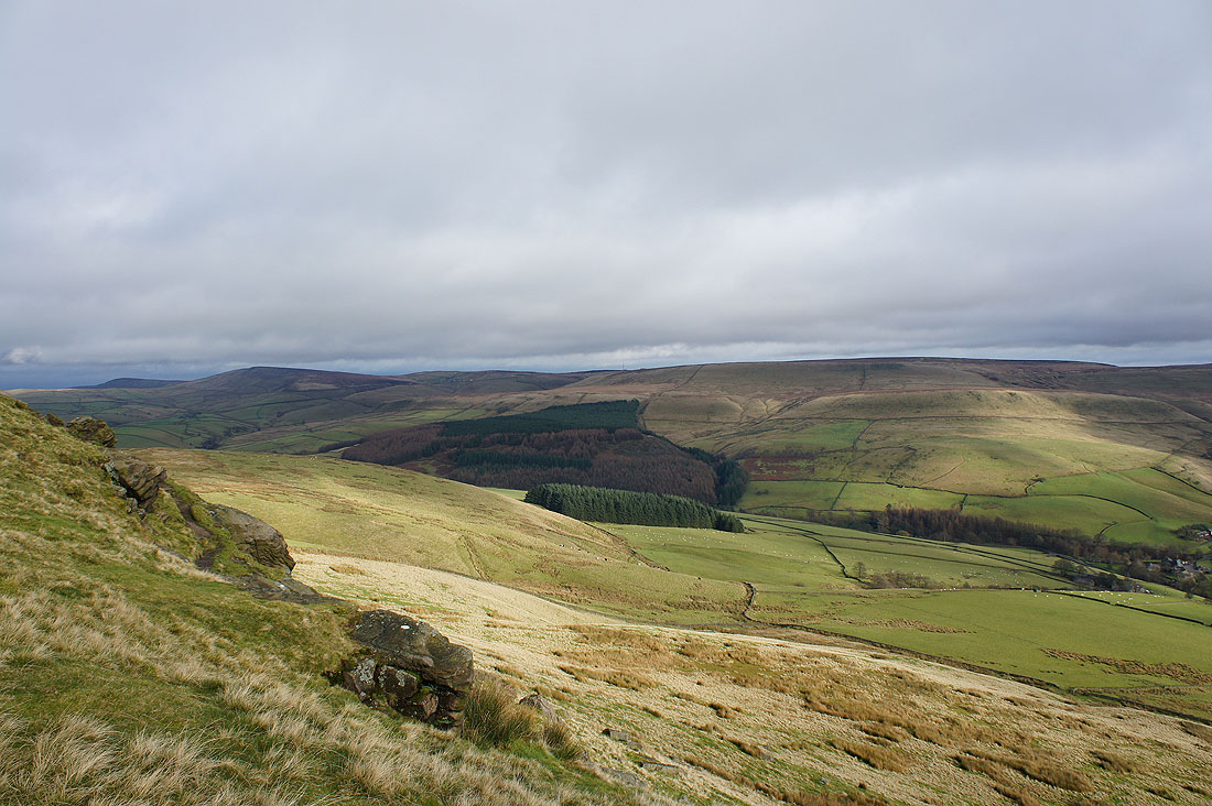
Shining Tor and the moors around the Cat & Fiddle
The Roaches to the south
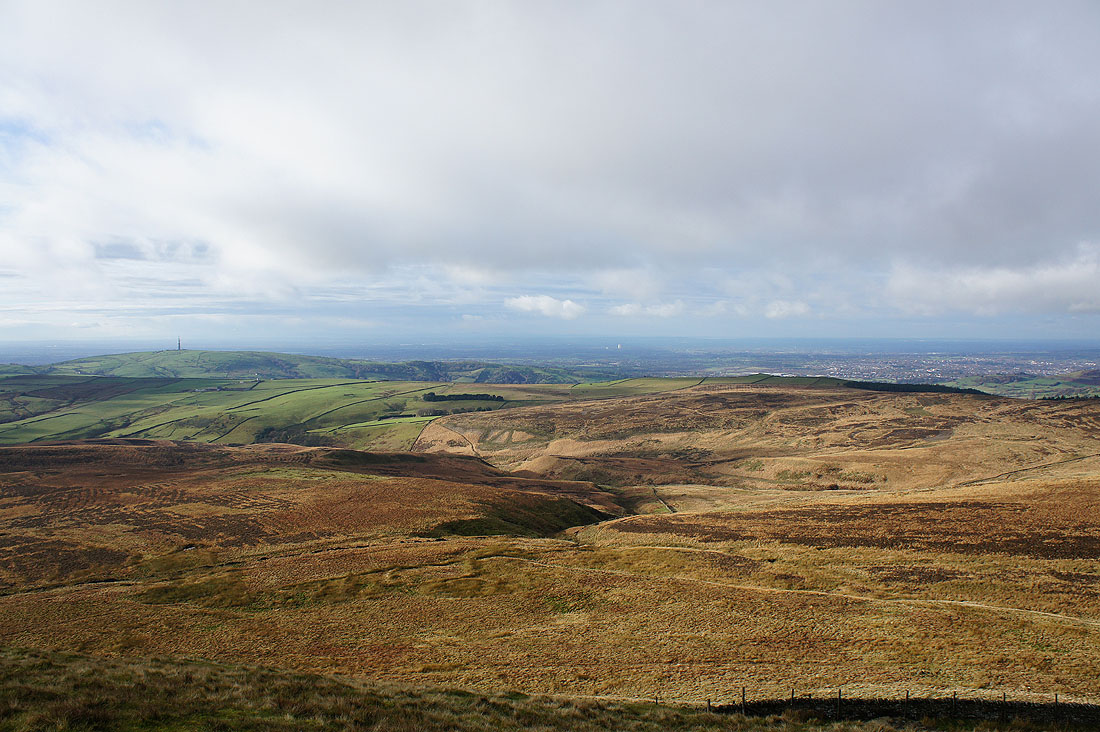
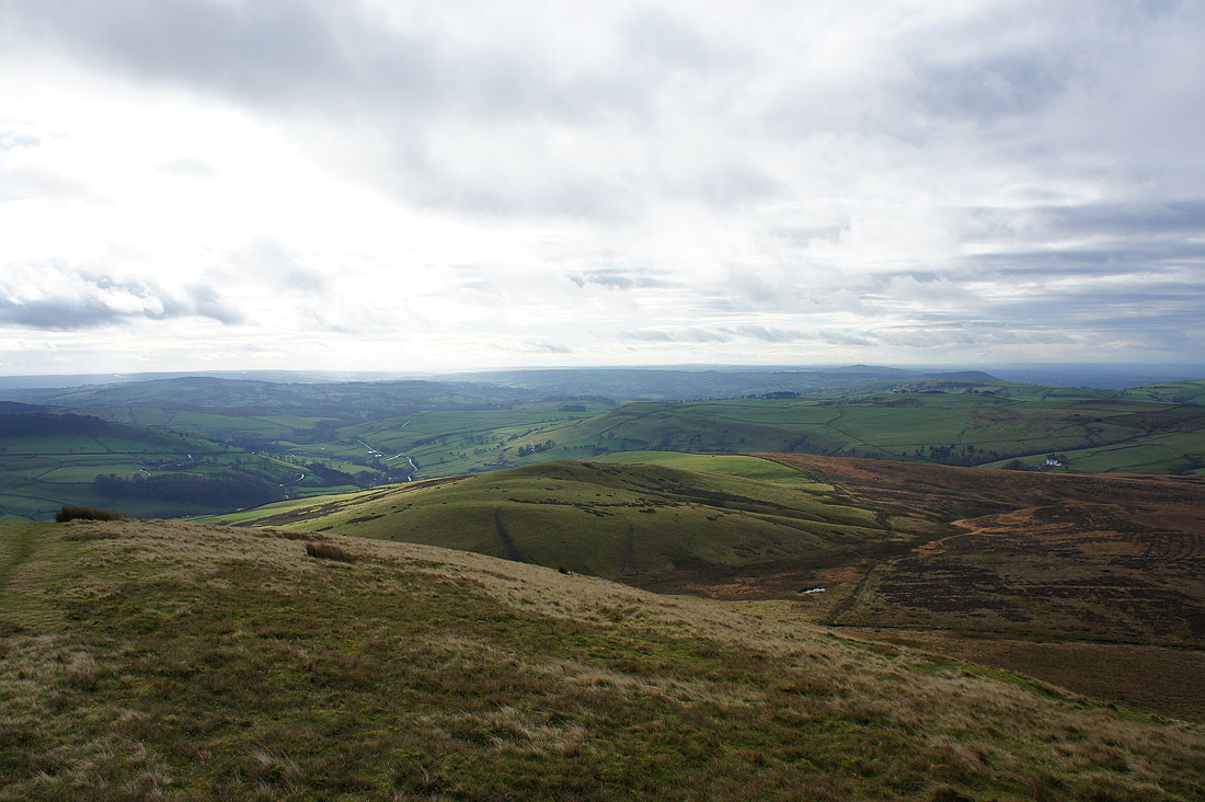
The view southwest towards Staffordshire
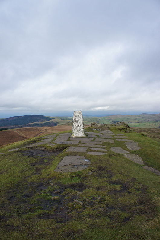
The trig point that marks the summit of Shutlingsloe
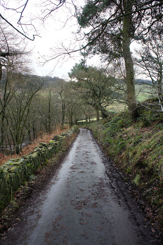
Heading down the lane to Wildboarclough
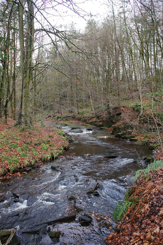
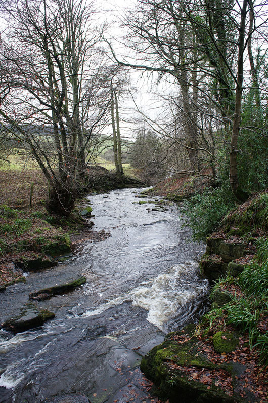
A couple of shots of Clough Brook at Wildboarclough..
Crossing the fields to the south of Shutlingsloe
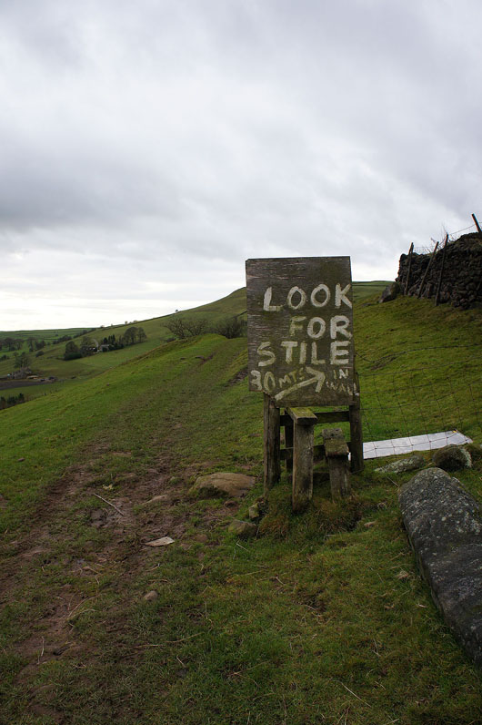
No excuses for going astray here
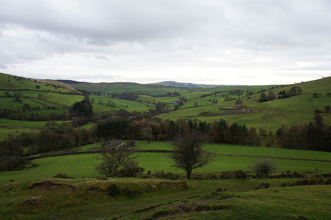
At that stile and looking down the valley of Clough Brook which is on its way to join the River Dane
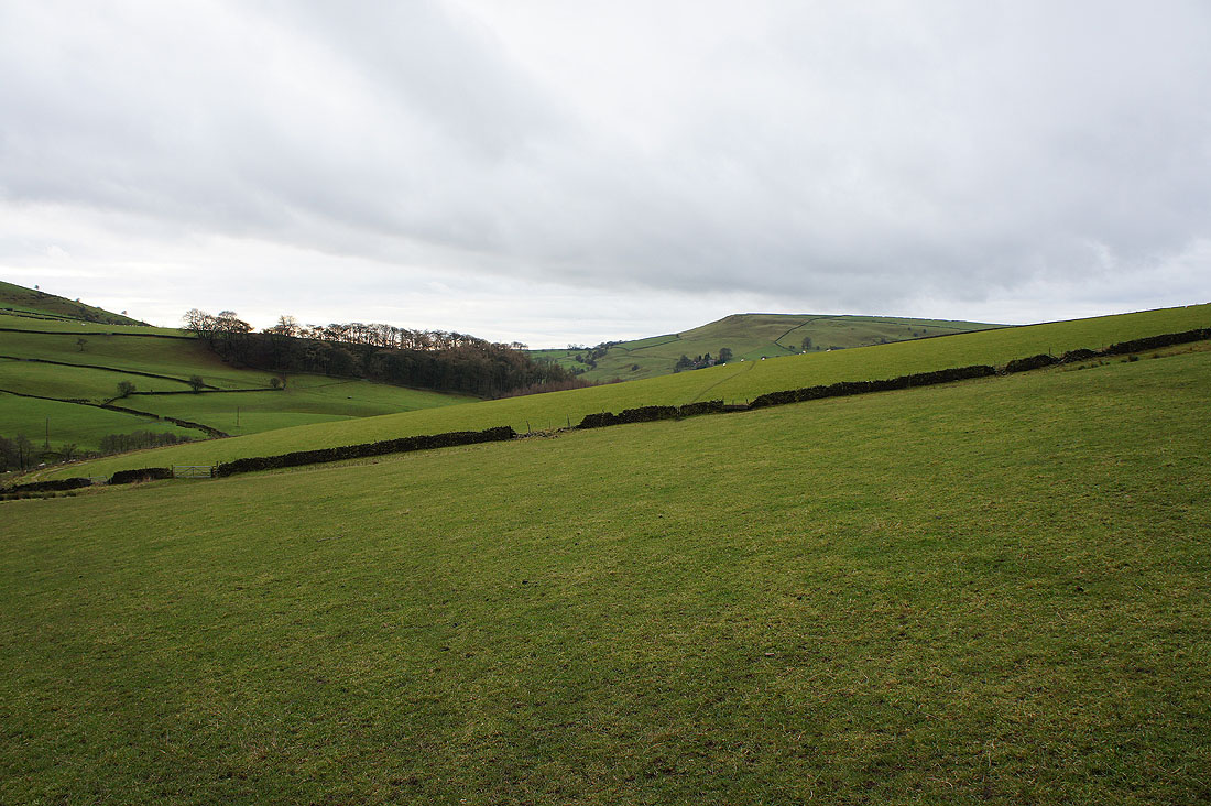
The fields just crossed
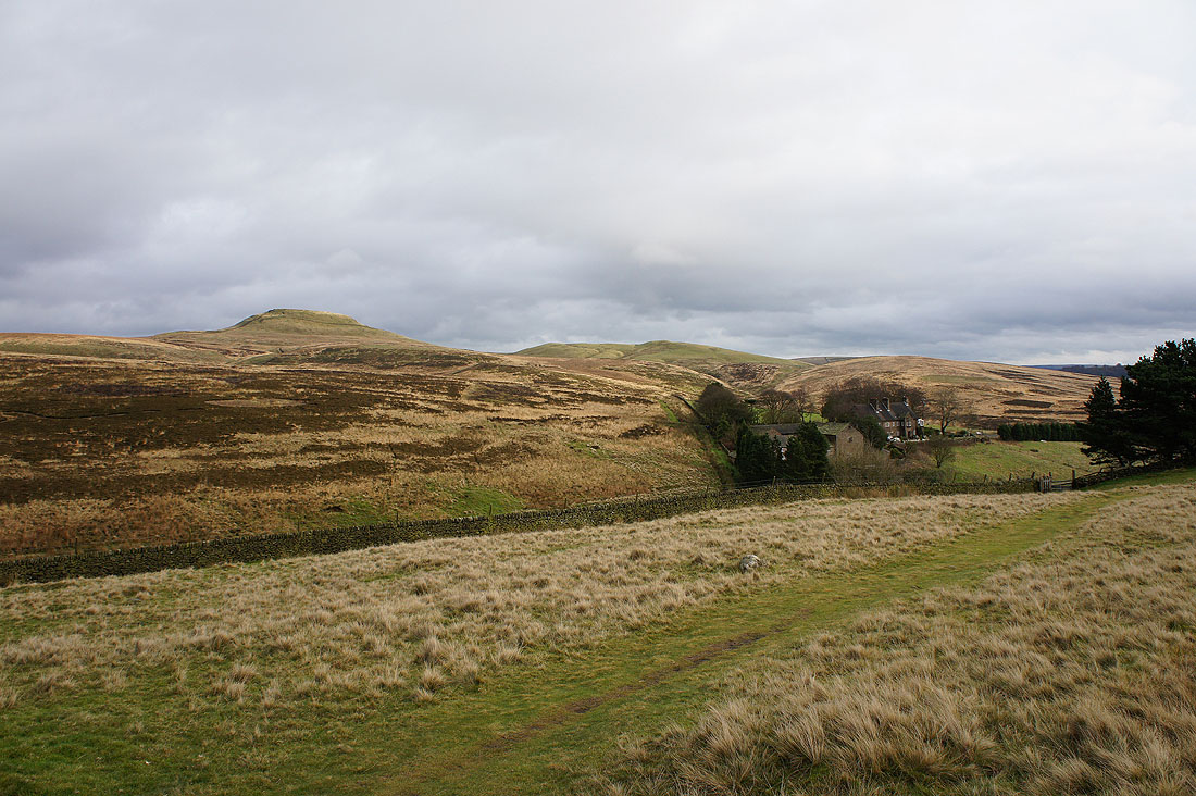
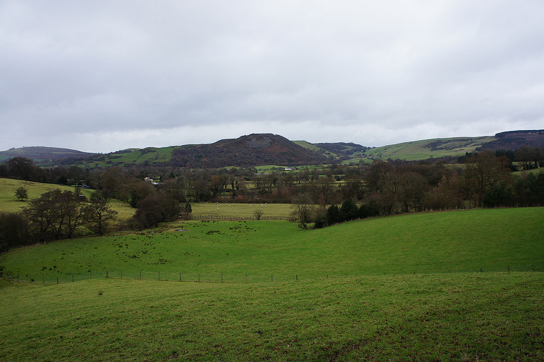
Shutlingsloe puts in an appearance at the top of Oaken Clough
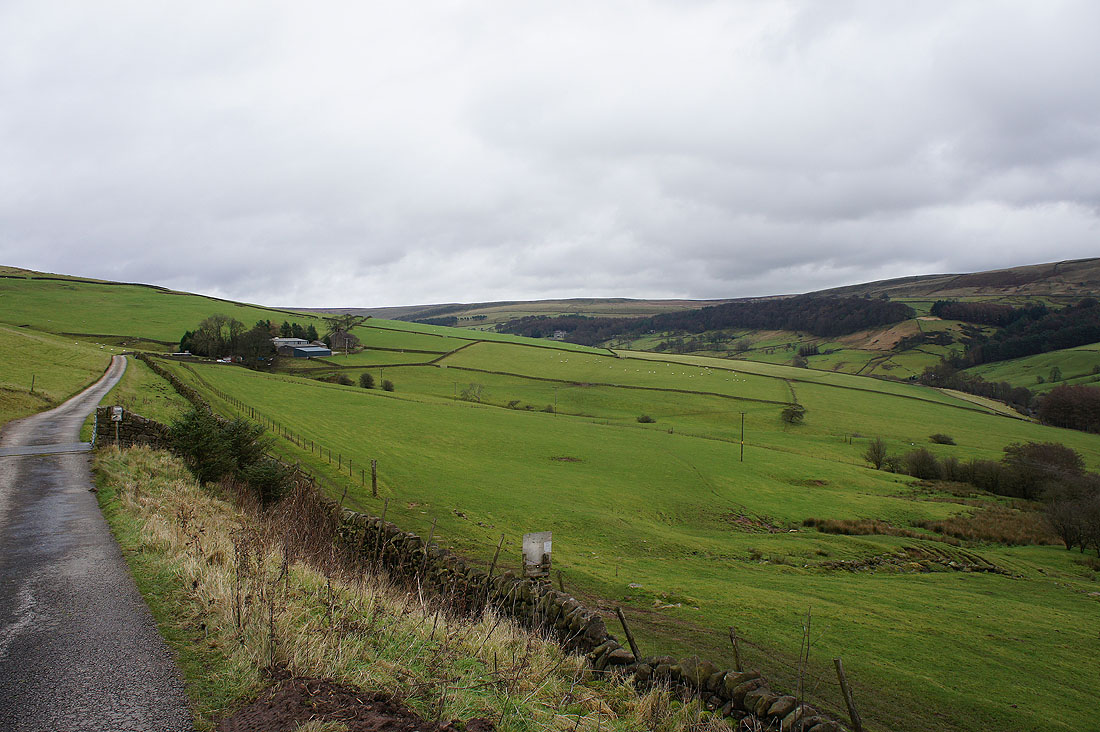
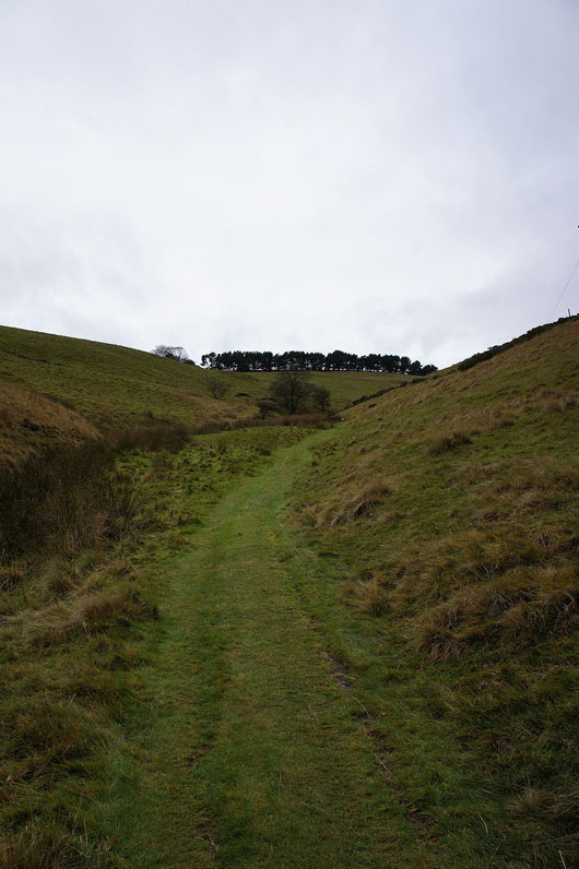
On the track down to the road at Haddon Farm
Approaching showers over Macclesfield
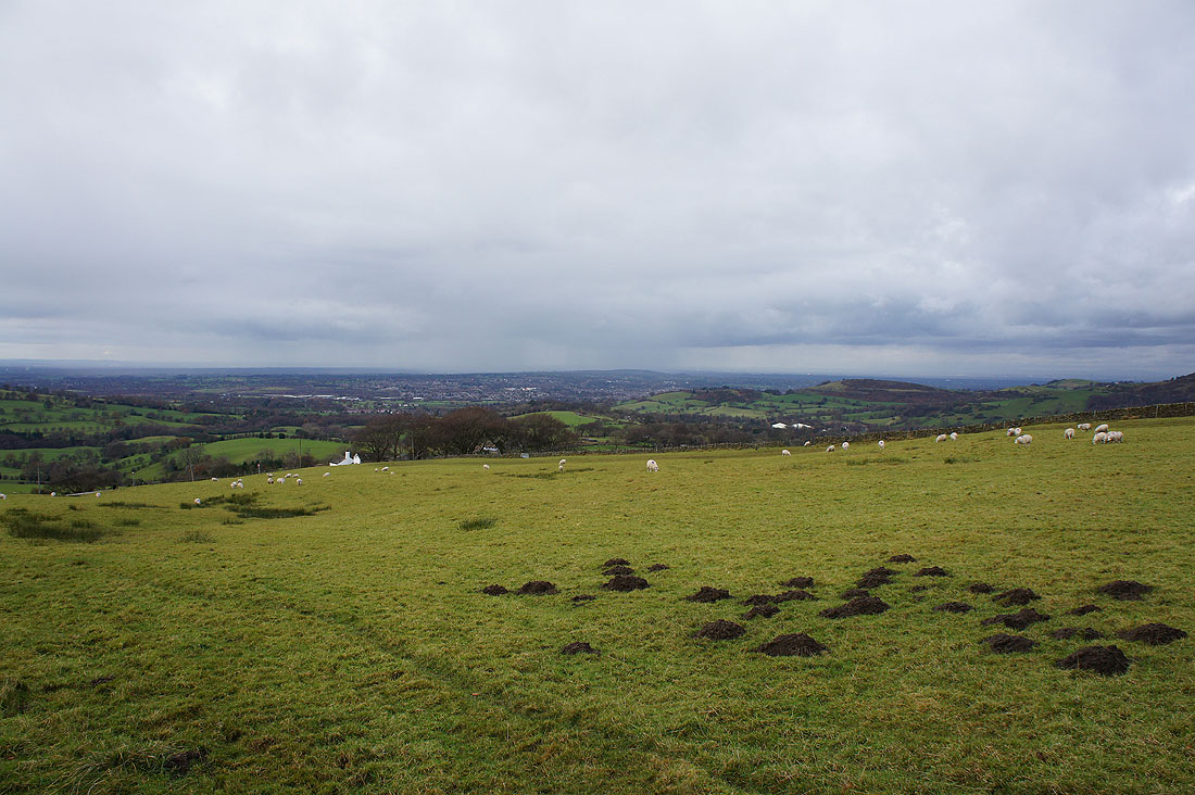
Tegg's Nose from the Gritstone Trail for the final stretch back to where I'm parked
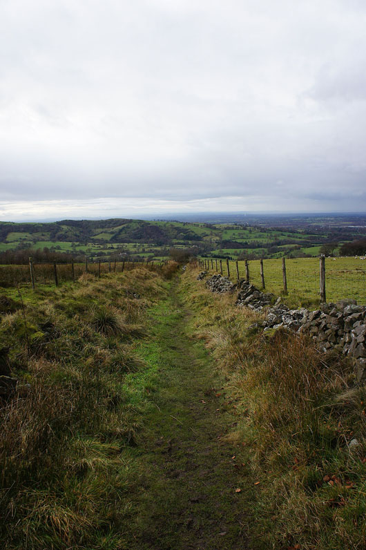
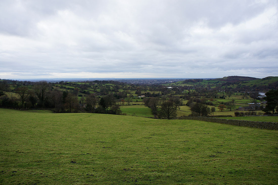
and a final shot of the valley of the River Bollin
