7th December 2019 - Hazlewood Moor and Beamsley Beacon
Walk Details
Distance walked: 11.3 miles
Total ascent: 2048 ft
OS map used: 297 - Lower Wharfedale & Washburn Valley
Time taken: 5.5 hrs
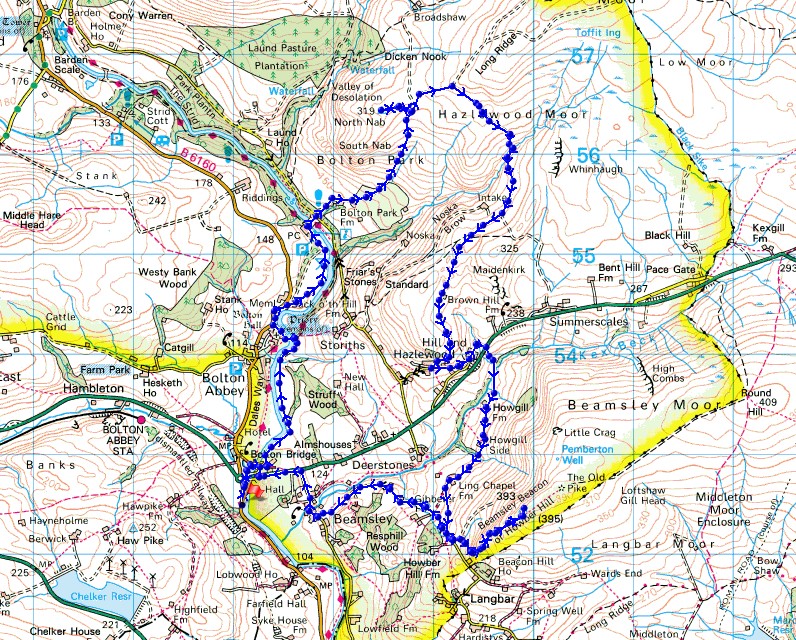
Route description: Layby on B6160-Dales Way-Bolton Bridge-Waterfall Bridge-Bolton Priory-Sand Holme-Wooden Bridge-Bolton Park Farm-Hammerthorn Hill-Hazlewood Moor-Noska Brow-Hazlewood-Hill End-Kex Beck-Howgill Farm-Howgill Side-Ling Chapel Farm-Beamsley Beacon-Beamsley-Beamsley Lane-A59-Bolton Bridge-Dales Way-Layby on B6160
Perseverance paid off on my walk this weekend. The forecast wasn't the best and I was lucky that daylight hours happened to coincide with some reasonable weather. I decided to head to Bolton Bridge in Wharfedale. The route that I'd worked out was to take in the ruins of Bolton Priory, which I hadn't seen before, and the moorland of the southern half of Barden Fell. There was some brightness in the sky and even a little sunshine when I set off from Bolton Bridge, but things went downhill as it became grey and murky with cloud descending onto the tops of the moors. When I was on Hazlewood Moor I changed the route I was following and considered cutting my walk short. Fortunately not too long after this I noticed that the skies were starting to brighten and the cloud lifted off the moors. Since I had the time available I decided to head for Beamsley Beacon and keep my fingers crossed that the weather would continue to improve on my way there. It did and the thirty minutes of sunshine that I enjoyed was well worth the effort of the brisk pace that I set.
After parking in the layby on the B6160 just south of the roundabout at Bolton Bridge, I set off by following the Dales Way north to Bolton Bridge. I crossed Bolton Bridge and took the path north by the east bank of the Wharfe to Waterfall Bridge, which I crossed to the ruins of Bolton Priory. Once I'd had a look at the ruins I made my way up to the road above, briefly followed it north, and then took the path down to the west bank of the Wharfe and to Cavendish Pavilion and the Wooden Bridge. I then crossed the bridge, went up to the road above, followed the track up to Bolton Park Farm and then up onto the moor to Hammerthorn Gate, with a detour to the Hammerthorn Hill trig point. Once through Hammerthorn Gate I continued to follow the track up onto Hazlewood Moor, turning right where it forked, crossing the ford over Pickles Gill Beck and then the hillside of Noska Brow, before following it down to the hamlet of Hazlewood. Here I turned left and walked down the lane to the A59, crossed it and followed the footpath opposite down the footbridge over Kex Beck and up to Howgill Farm. I then made my way along the track from Howgill Farm past Howgill Side and Ling Chapel Farm, then up a footpath to the lane beneath Beamsley Beacon, from where I climbed to the top of Beamsley Beacon. After taking in the views from the summit I made my way back down to the road below, and walked down this to the village of Beamsley. I then walked north along Beamsley Lane to the A59 where a bridleway on the south side of the road took me west to the River Wharfe. The bridleway passes under the road bridge and meets the old road at Bolton Bridge. After crossing Bolton Bridge I followed the Dales Way back to where I was parked by the B6160.
Route map
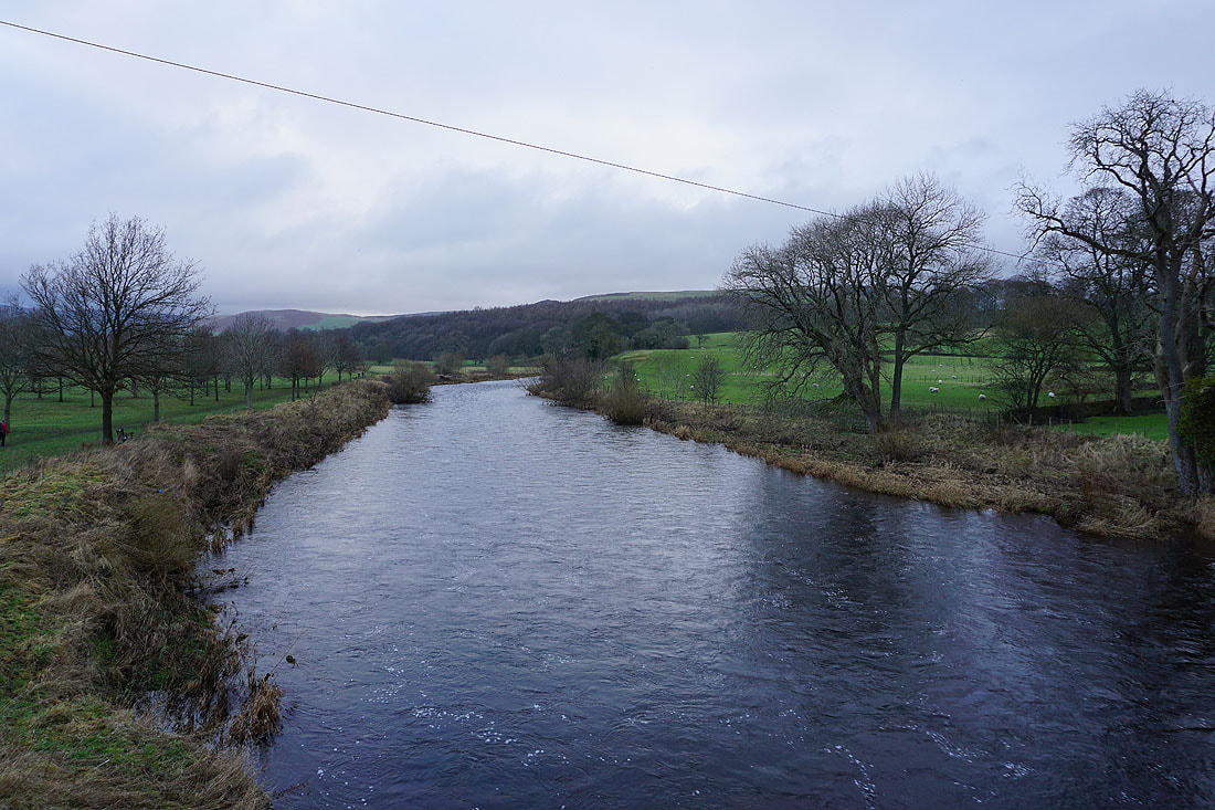
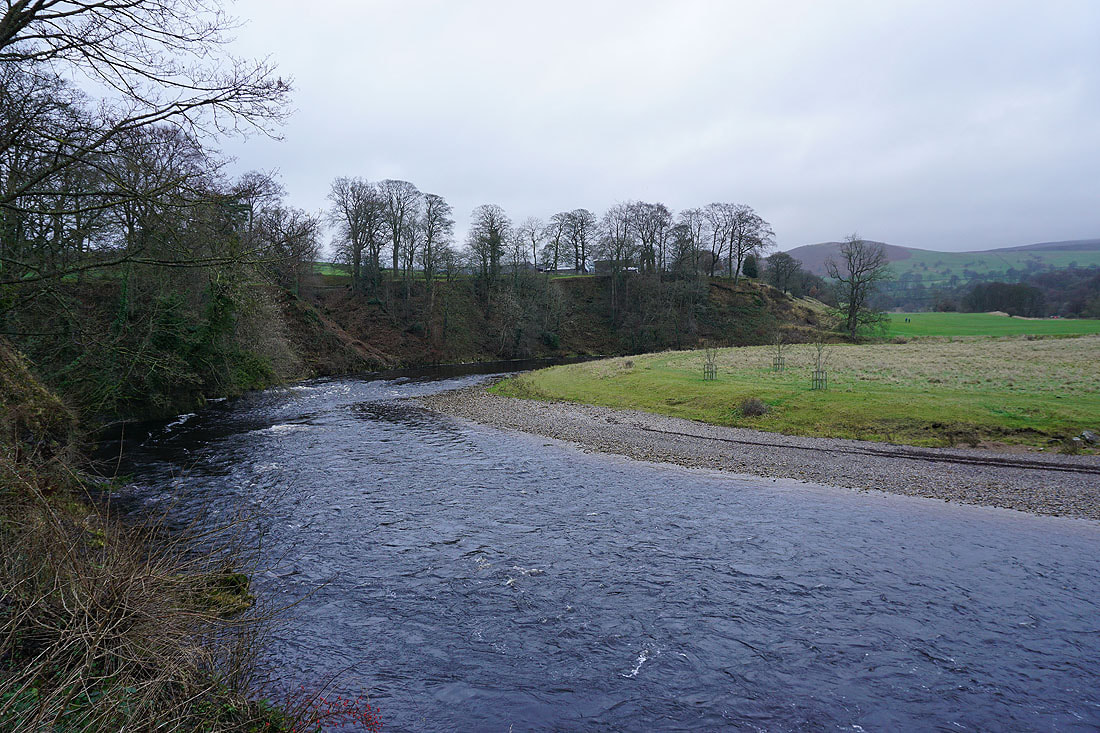
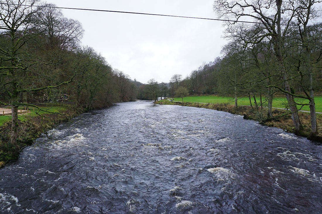
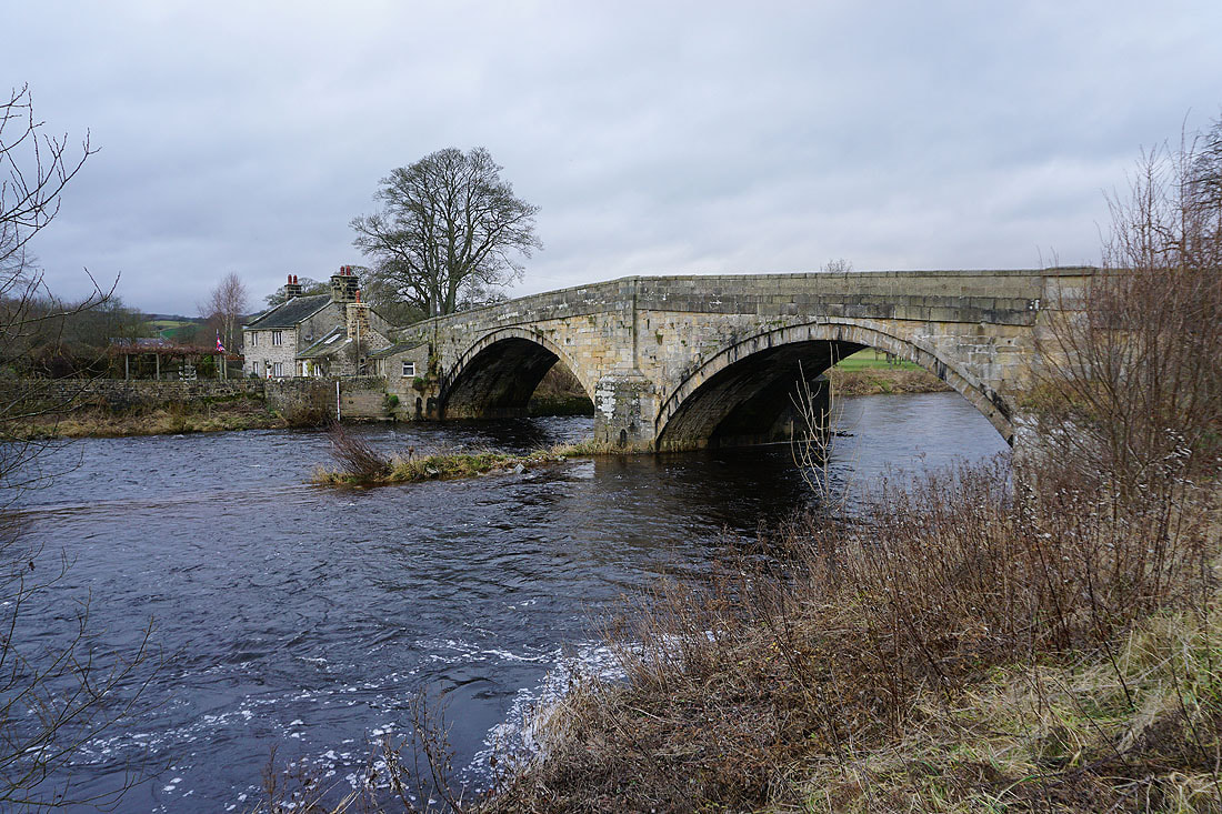
The River Wharfe from Bolton Bridge
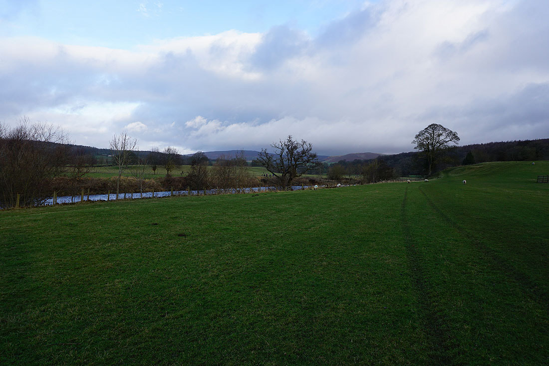
From Bolton Bridge I take the footpath north by the east bank of the river..
The sun does its best to brighten up the surrounding countryside..
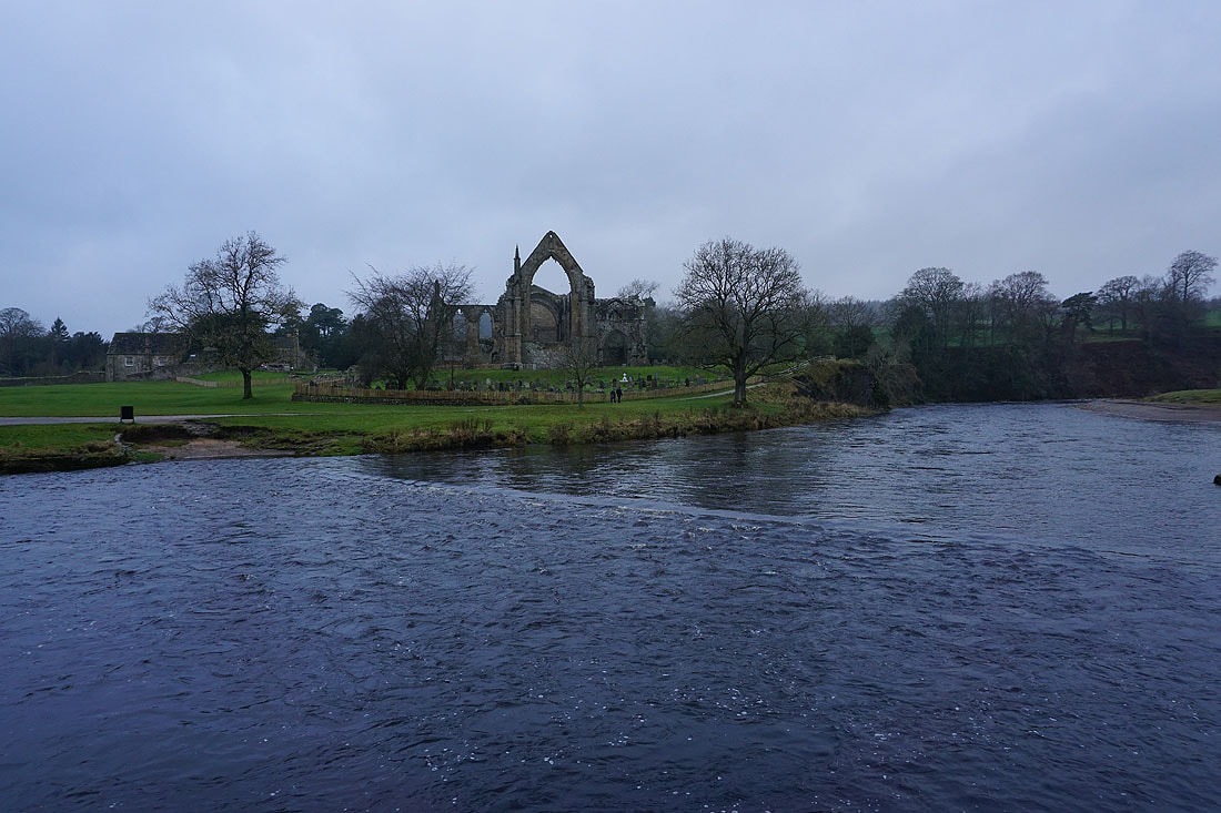
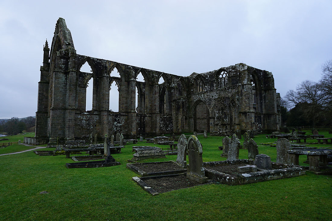
The ruins of Bolton Priory on the other side of the river
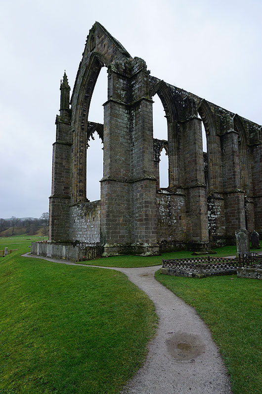
A closer look after crossing the river via Waterfall Bridge. The gloomy weather doesn't make for great photography..
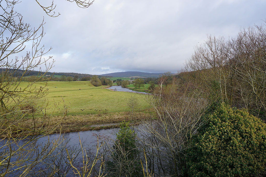
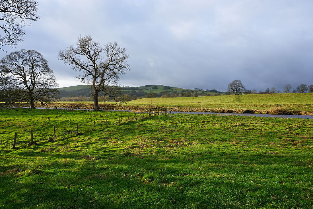
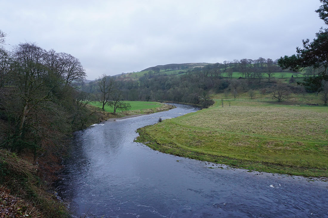
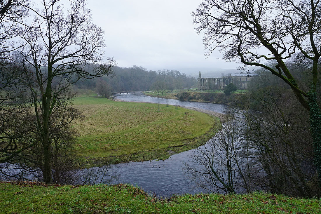
Riverside scenery as I follow the path by the west bank of the Wharfe north to the Wooden Bridge...
The River Wharfe from the Wooden Bridge
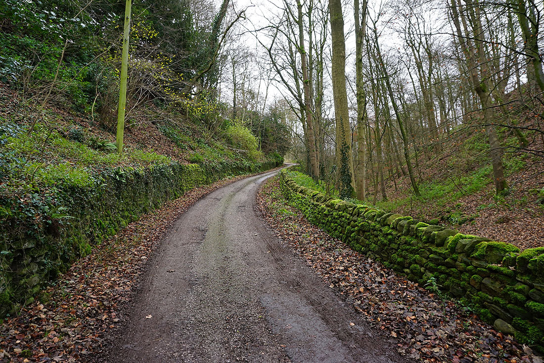
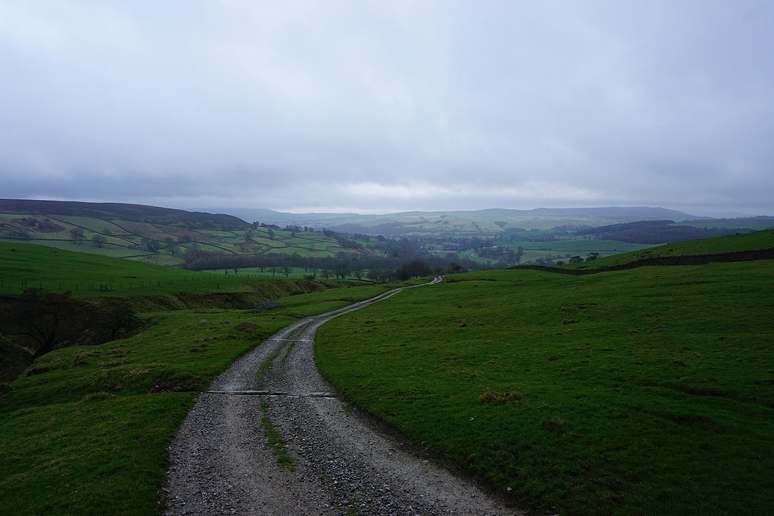
On the track to Bolton Park Farm
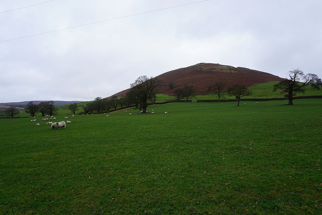
The hillside of South Nab
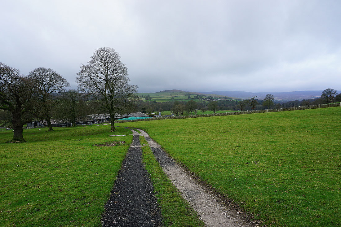
Looking back to Bolton Park Farm from the track up onto Hammerthorn Hill
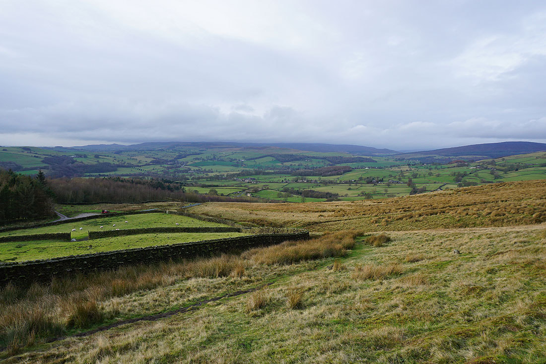
Higher up and I have a view back down into Wharfedale with Draughton Moor and Skipton Moor in the distance
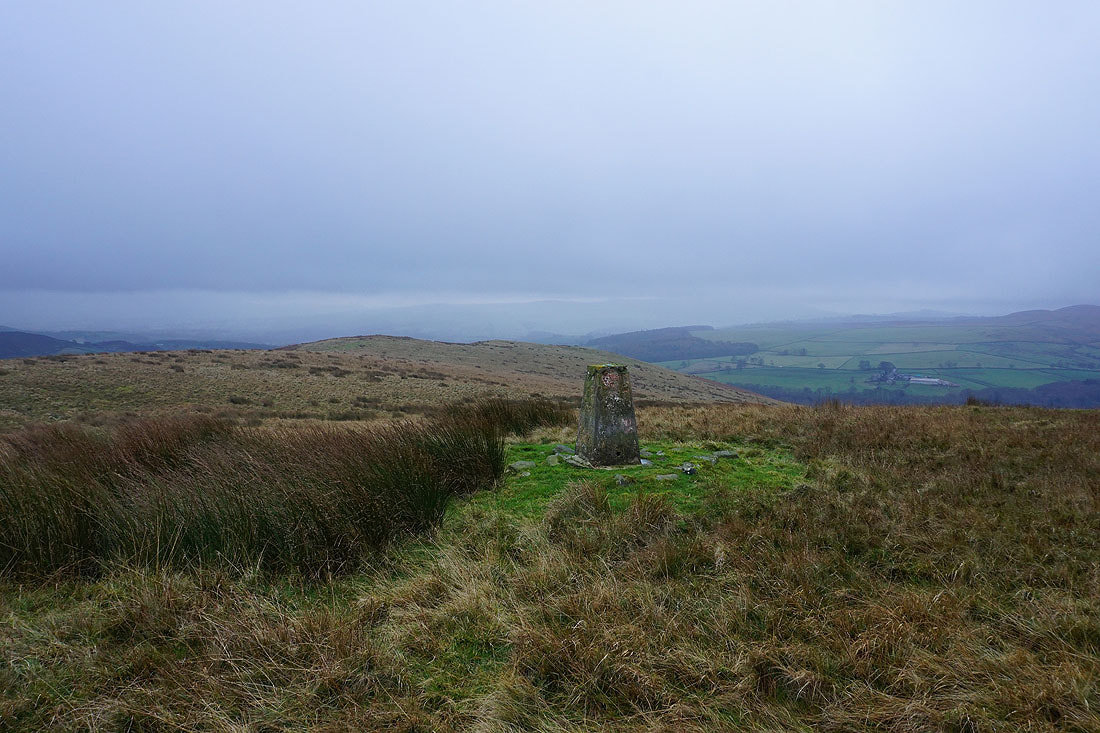
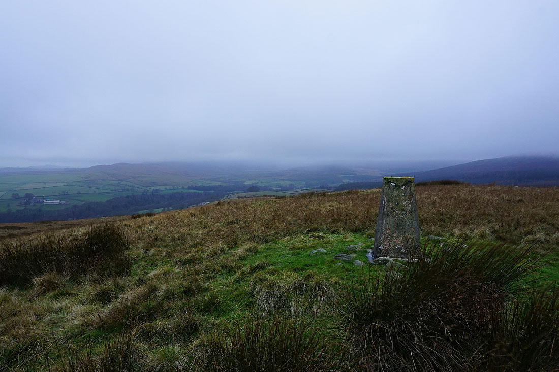
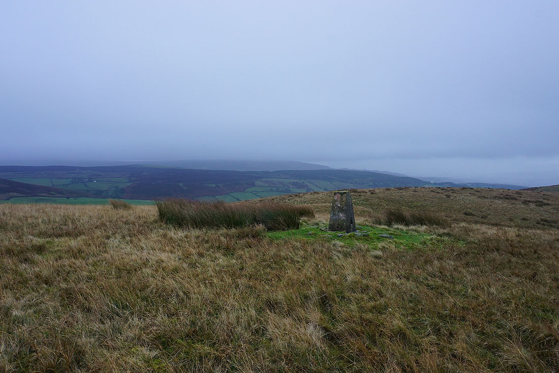
At the trig point on a dull and windswept Hammerthorn Hill
Barden Moor is lost in the cloud on the other side of Wharfedale, though I can see Lower Barden Reservoir
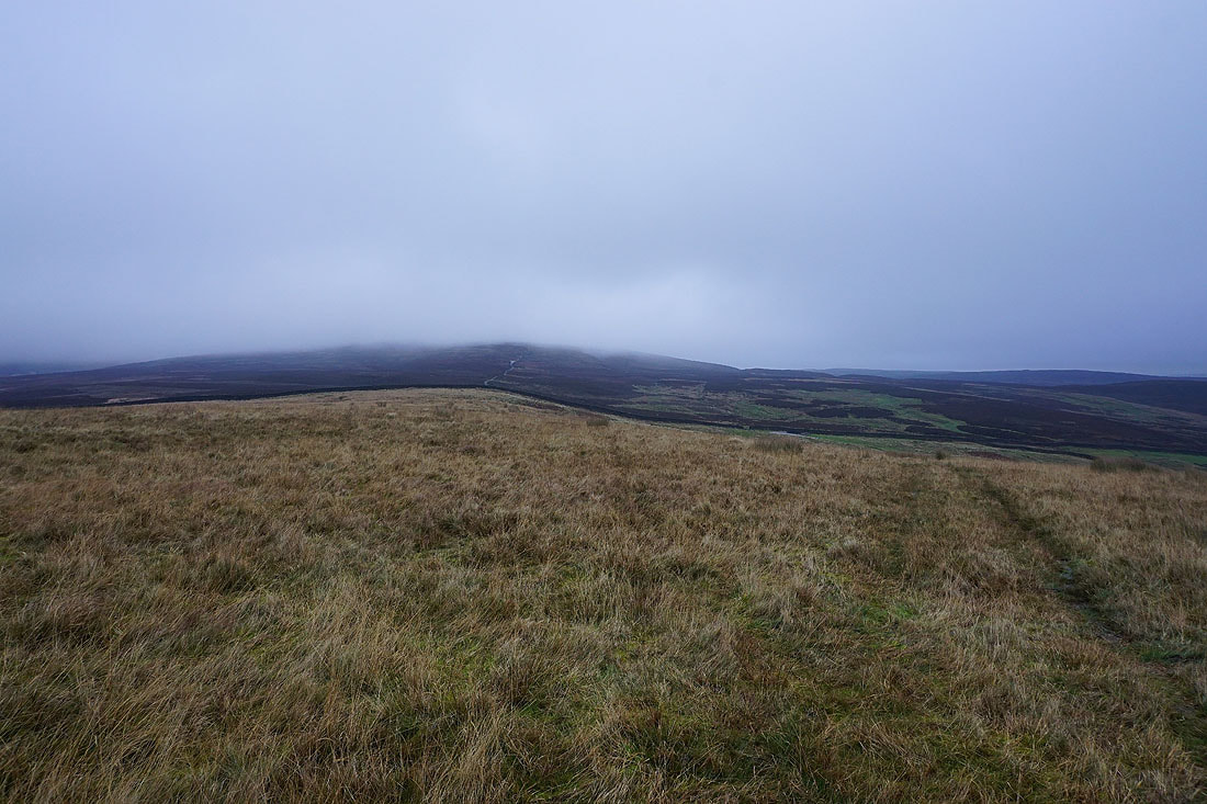
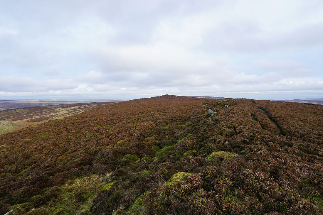
Beamsley Beacon in cloud in the distance beyond the hillside of Noska Brow which I'll crossing a bit later
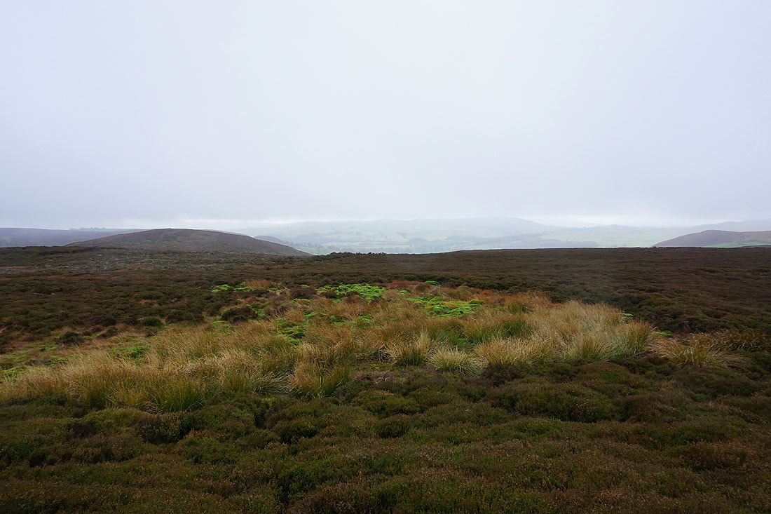
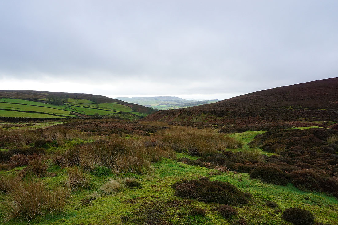
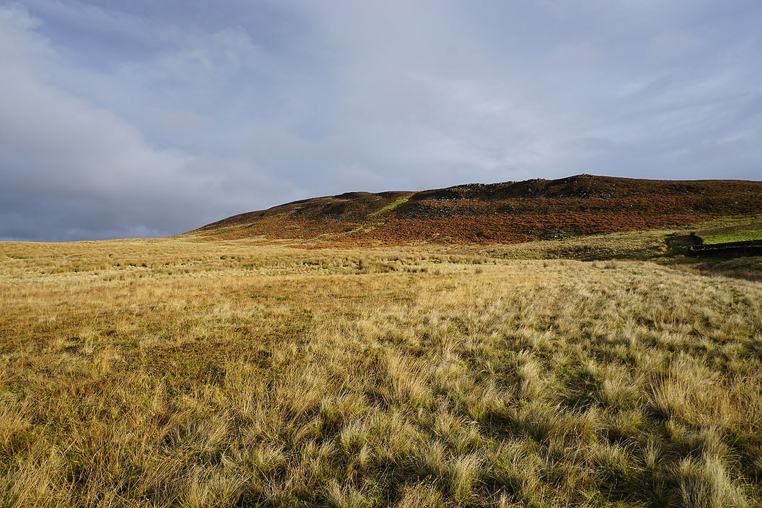
Hazlewood Moor doesn't look very inviting
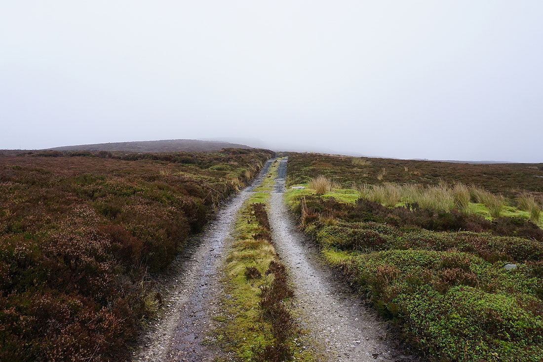
Into the murk on Hazlewood Moor
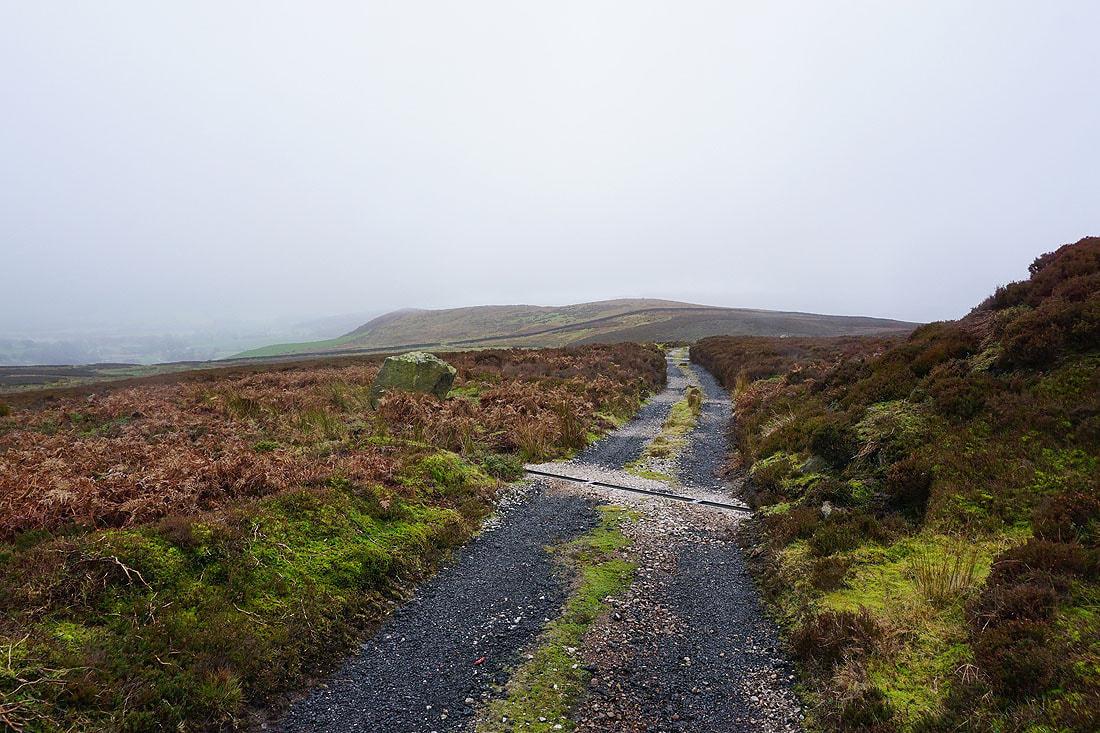
Looking back to Hammerthorn Hill
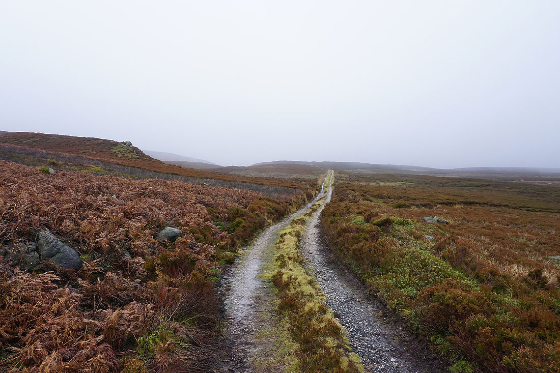
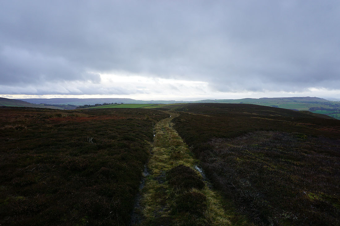
Crossing Hazlewood Moor, and at this point I'm thinking of cutting my walk short to head down to the cafe at Cavendish Pavilion
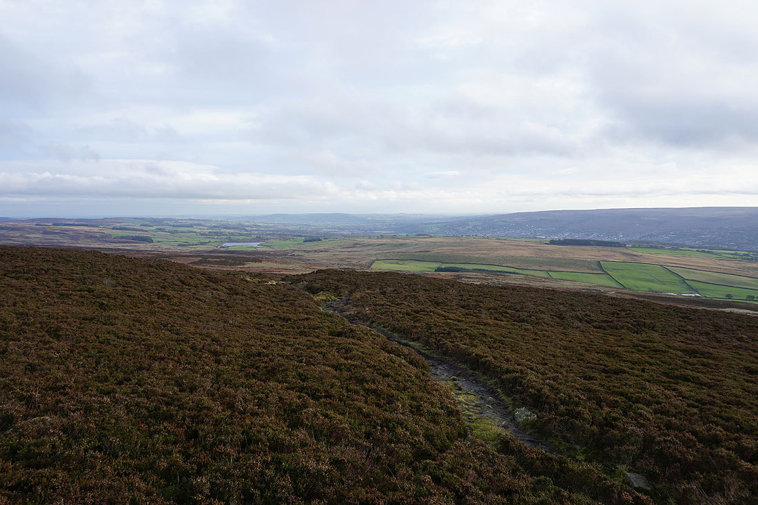
The cloud is so low now I can barely make out Skipton Moor in the distance
The hillside of Noska Brow
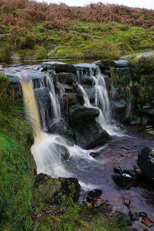
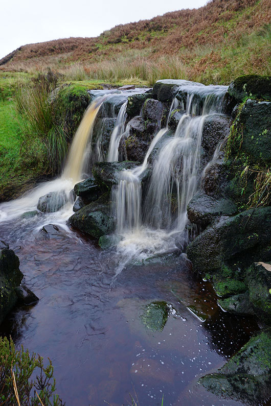
A little waterfall over the ford across Pickles Gill Beck..
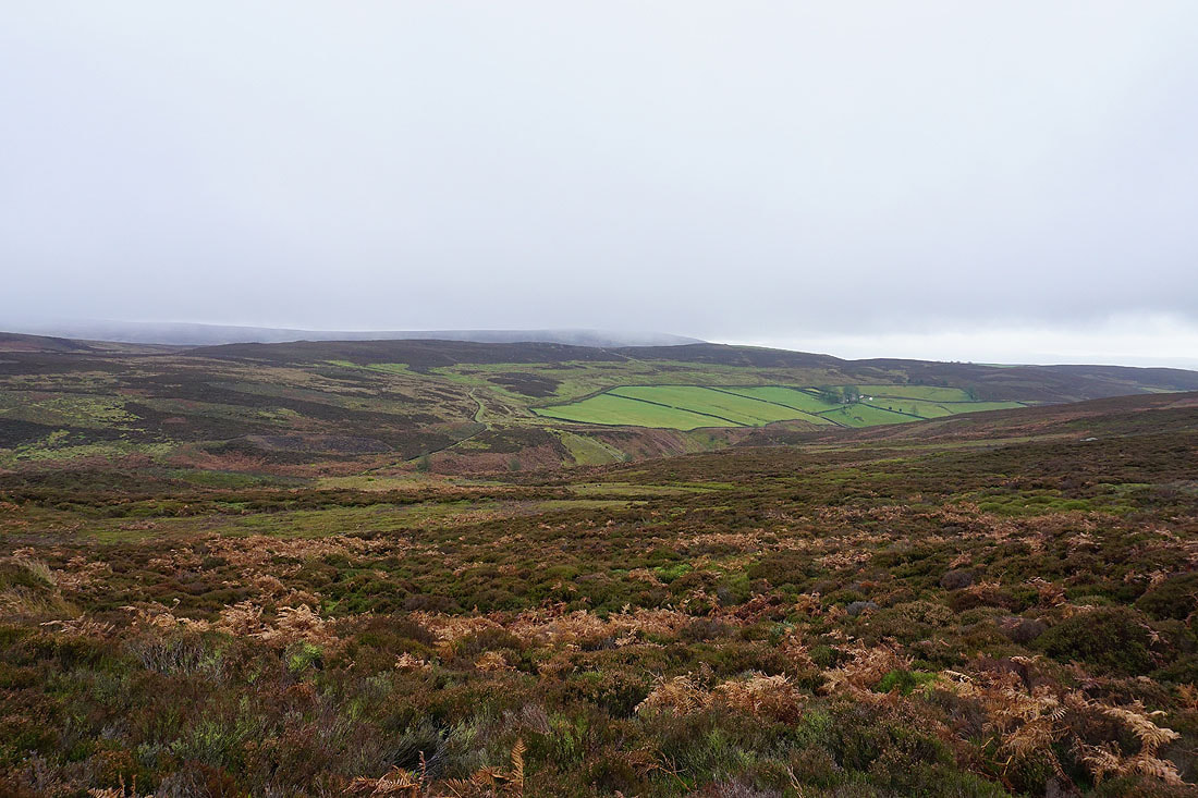
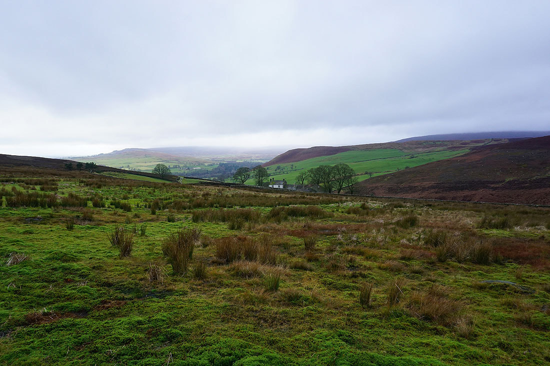
Looking down Pickles Gill towards Skipton Moor and it seems to be a bit brighter over there
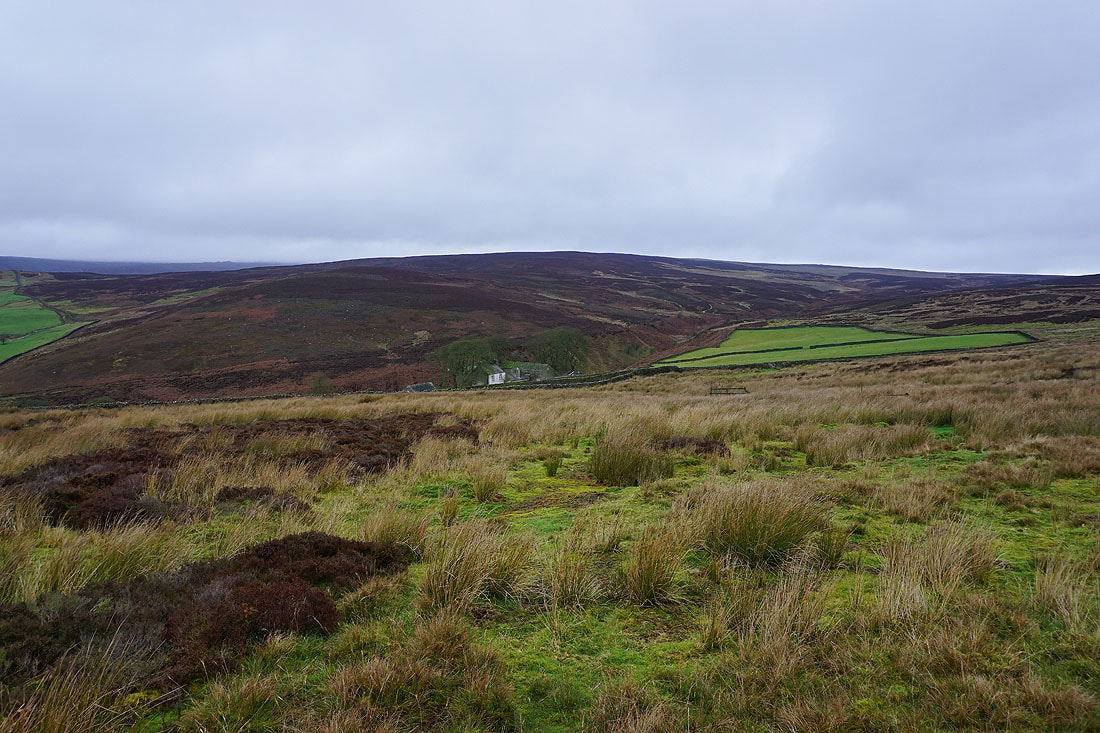
The lonely Intake Farm surrounded by a stand of trees..
The weather definitely seems to be improving as I cross Noska Brow. I'll head towards Beamsley Beacon and see how things go.
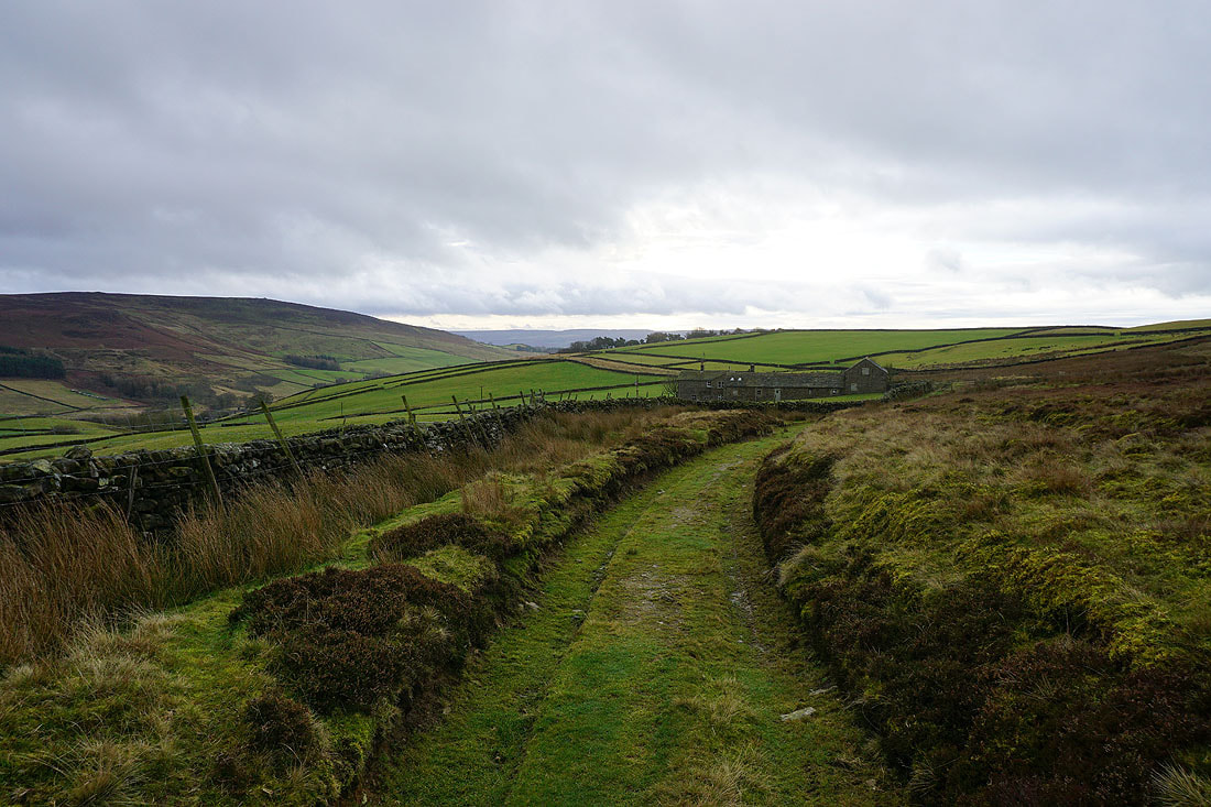
Following the track off the moor down to the hamlet of Hazlewood..
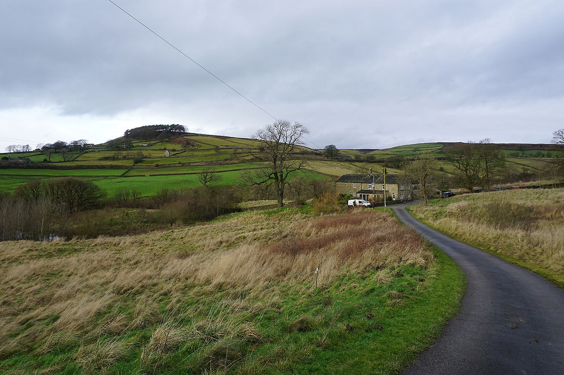
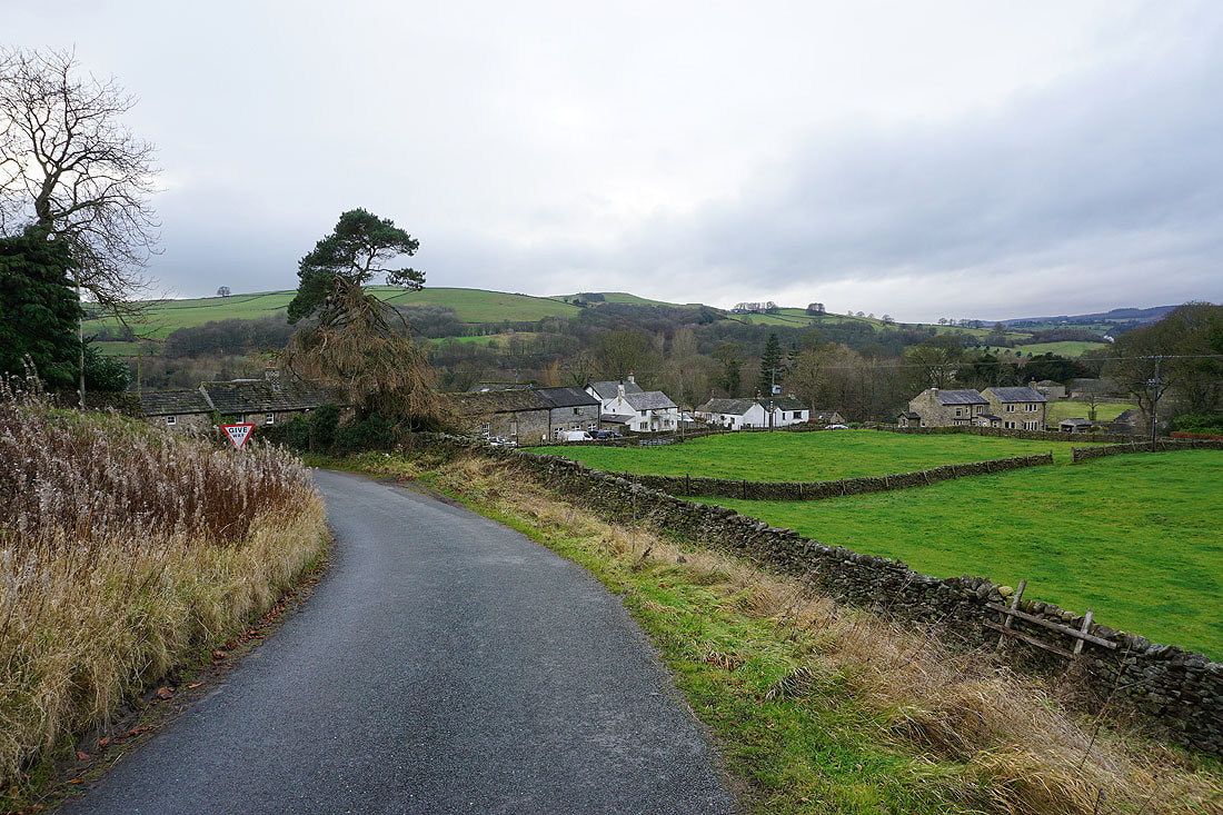
Beamsley Beacon as I walk down the road from Hazlewood to the A59. It looks like there's some sunshine on the way.
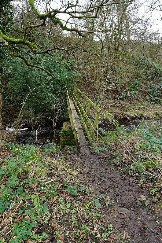
Having crossed the A59, on the footpath down to the footbridge over Kex Beck..
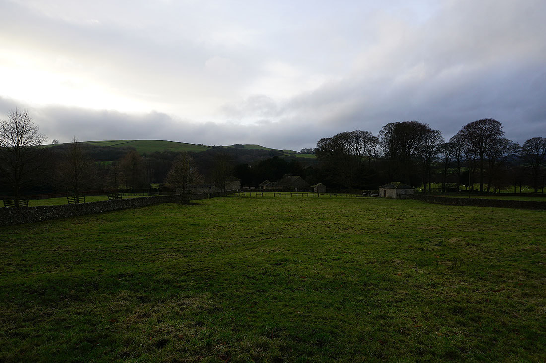
Looking back to Howgill Farm
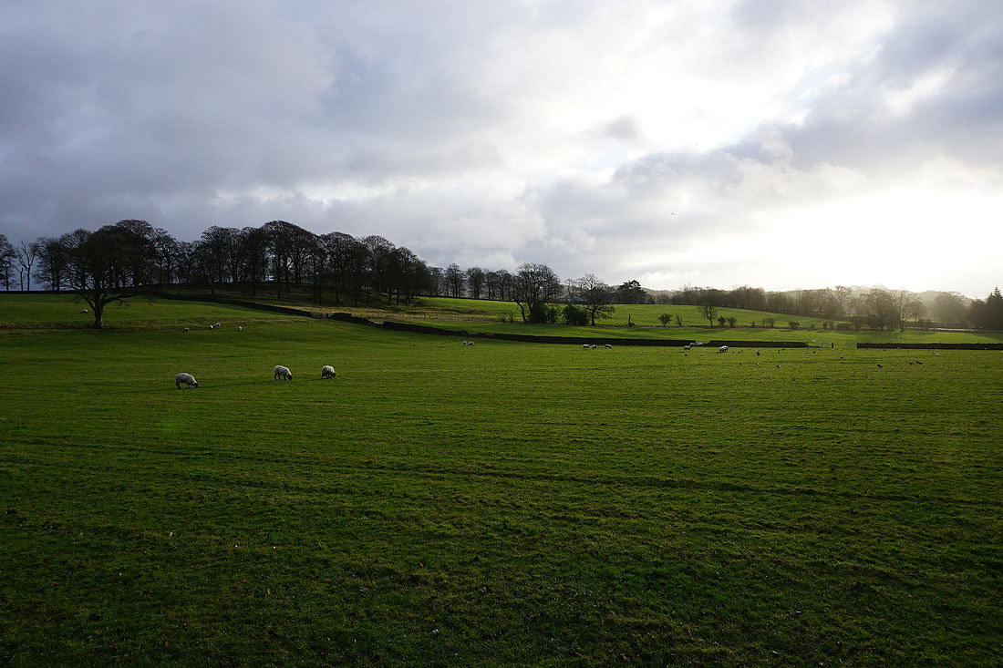
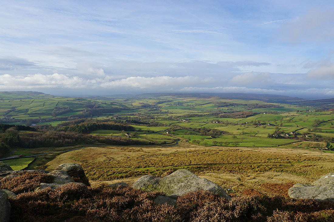
Now this was worth keeping going for. The sun comes out and lights up the view across Wharfedale to Barden Moor.
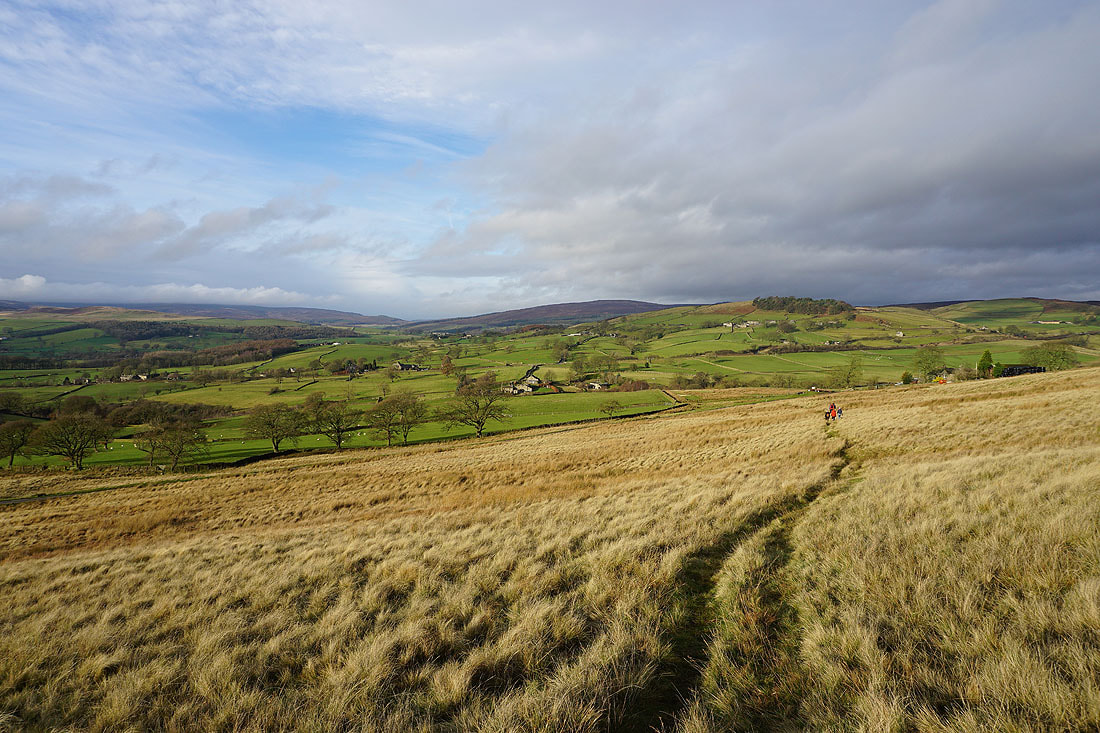
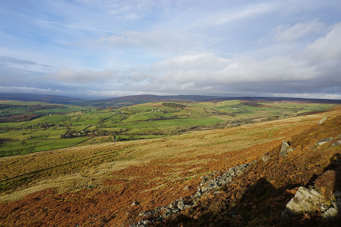
Looking back to the moorland on Barden Fell that I was walking across earlier in the day
A colourful hillside on Beamsley Beacon
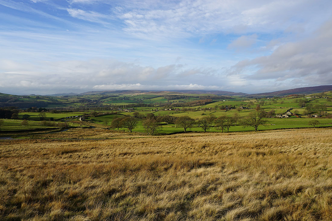
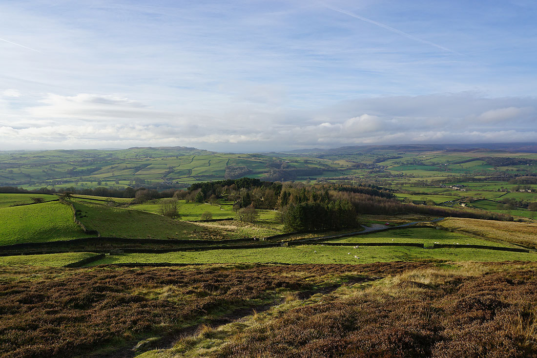
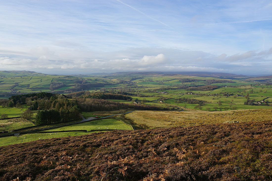
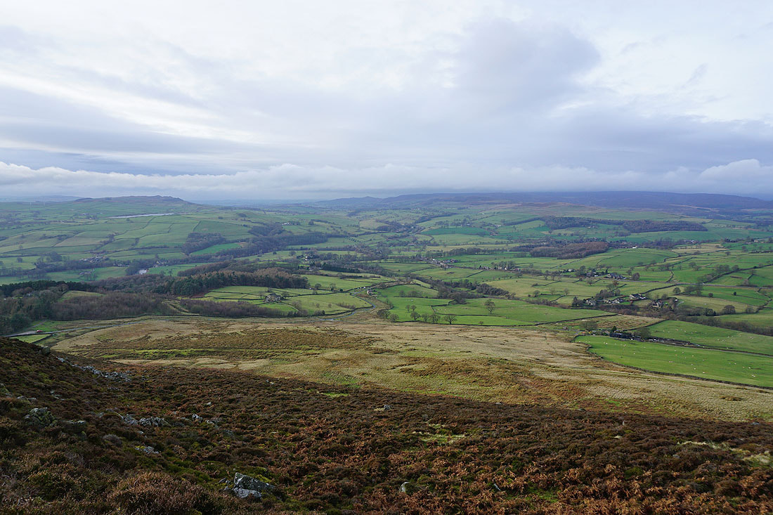
Great views across Wharfedale to Skipton Moor, Draughton Moor and Barden Moor as I head up onto Beamsley Beacon...
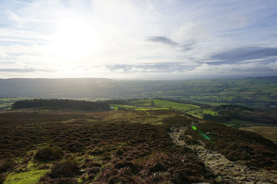
The moorland of Barden Fell
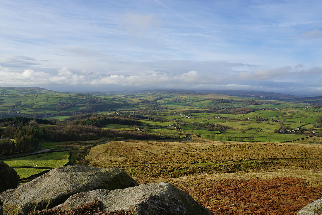
I couldn't resist taking another shot of the view across to Barden Moor
Looking across Wharfedale to Addingham High Moor and Addingham
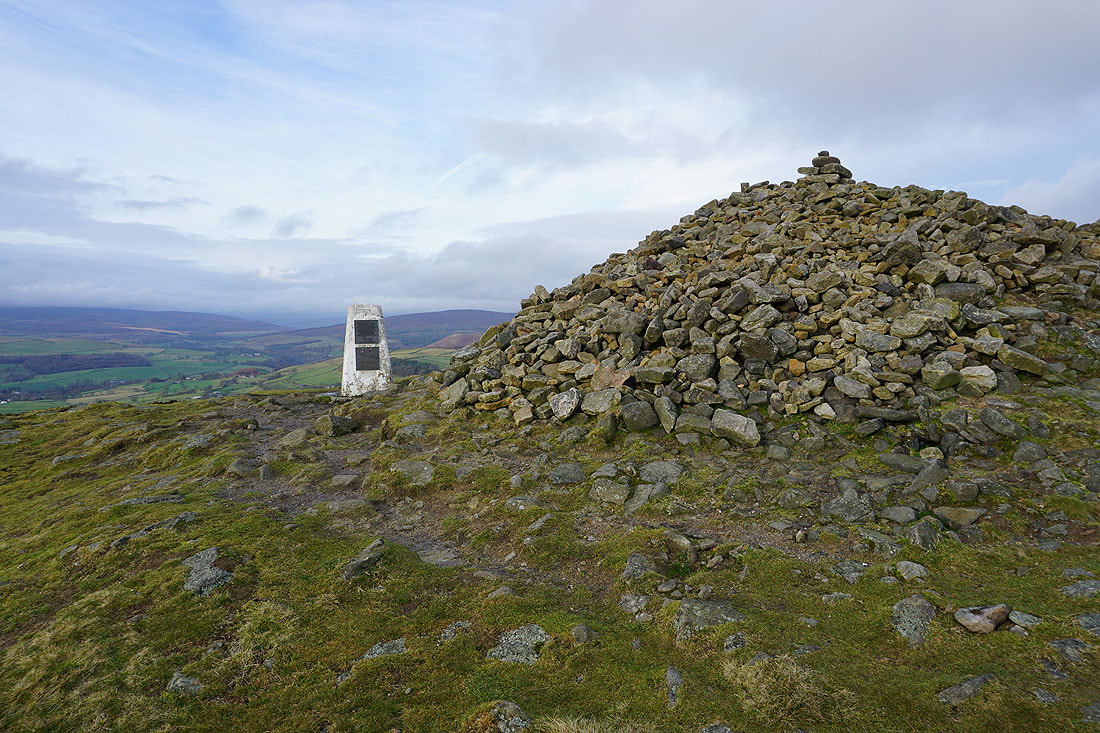
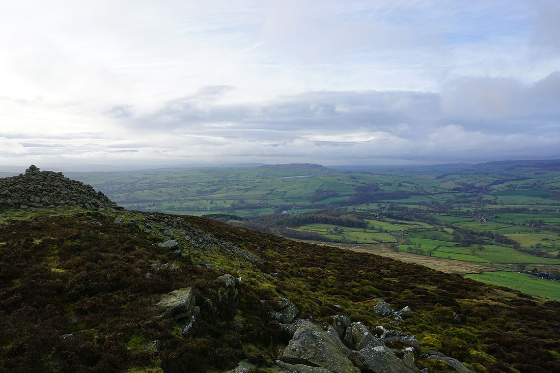
The trig point and very large cairn on the summit of Beamsley Beacon
Looking south down Wharfedale to Otley Chevin with Ilkley Moor on the right
The Old Pike and Round Hill to the east
Skipton Moor and Chelker Reservoir
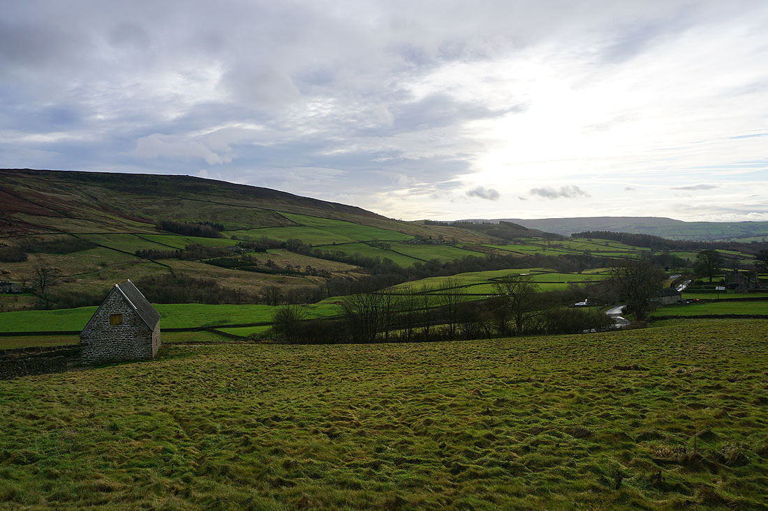
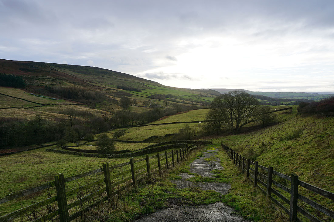
The sunshine has gone and the cloud rolled back in as I head down from Beamsley Beacon..
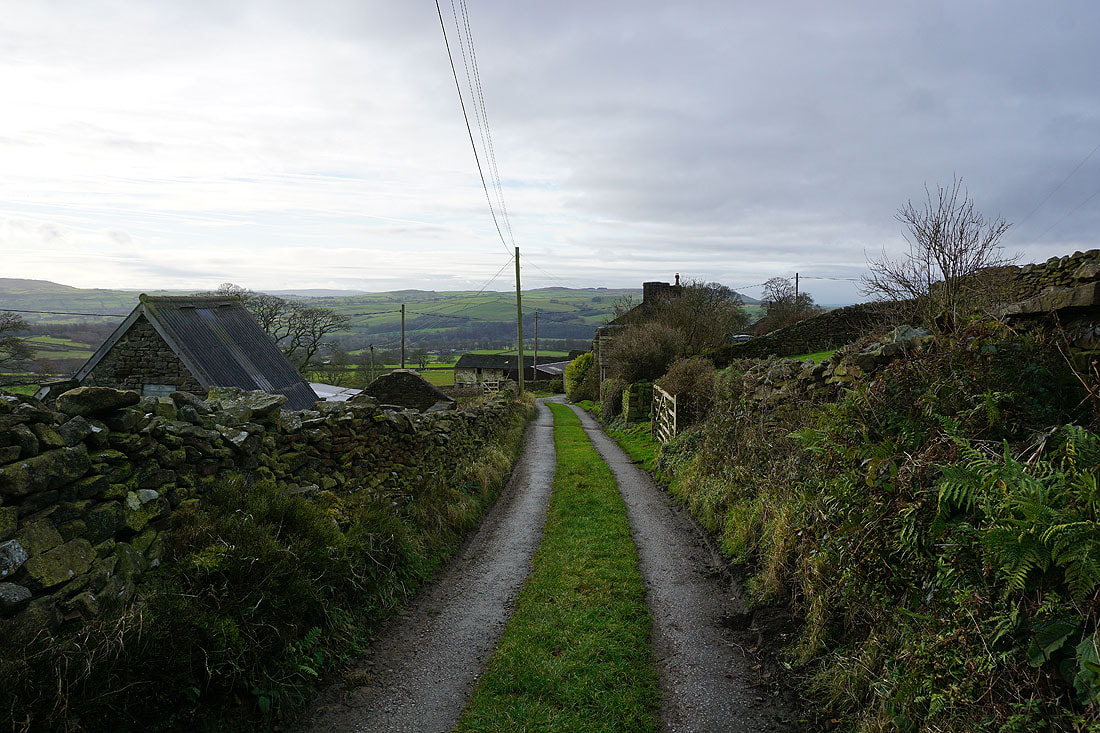
Walking down the road into the hamlet of Beamsley
The hill of Haw Pike to the west from Beamsley Lane
On the bridleway that shadows the A59 to Bolton Bridge
A final shot of Bolton Bridge over the River Wharfe
