7th February 2016 - Flagg & Sough Top
Walk Details
Distance walked: 8.6 miles
Total ascent: 1035 ft
OS map used: OL24 - The Peak District, White Peak area
Time taken: 4.5 hrs
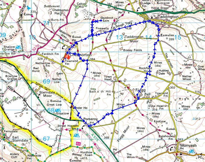
Route description: Chelmorton-Church Lane-Highstool Lane-Pomeroy-Pasture Barn-Pasture Lane-Flagg-Flagg lane-Moor Lane-Humphrey Lane-Taddington-Sough Top-Pillwell Lane-Fivewells Chambered Cairn-Pillwell Lane-Chelmorton
Another walk in the Peak District this weekend and like last time I had to plan my route with the strength of the wind in mind. I hope I do a walk somewhere else soon, I'm running out of walks that I've worked out in this area. I still had an enjoyable day out though. The best bits of the walk were the views from above Taddington and seeing the Fivewells Chambered Cairn. The day started out quite grey with not a lot of sunshine about, however it did improve with more in the way of blue skies from Flagg onwards. Unfortunately I got caught by a heavy hail shower while I was at the Fivewells Chambered Cairn, luckily there was a wall to shelter behind as it passed through.
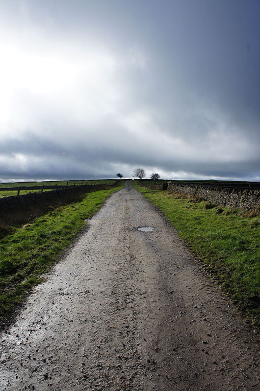
After parking out of the way at the southern end of Main Street in Chelmorton I walked up into the village before taking the footpath that heads east up to Church Lane. Here, I turned right, then left at the junction to reach a crossroads, where I turned right onto Highstool Lane. I then followed Highstool Lane south to where it joins Pippenwell Road, a footpath on the left was then taken across to the A515 at Pomeroy. After walking past the Duke of York pub I was glad to get off the verge and onto the path that made its way across muddy fields to Pasture Lane and after crossing the road more fields were crossed to reach Flagg. A path opposite the Methodist chapel was taken which made its way uphill to reach Flagg Lane, a short distance to the east and another path continued uphill to reach Moor Lane. I then walked down the road of Humphrey Gate into Taddington. No sooner had I arrived in Taddington then I left it behind. Just before Humphrey Gate reaches the main street in Taddington a path heads uphill to the west. This was followed up and across Slipperlow Lane and onto Taddington Moor, then past Sough Top, and across Sough Lane to reach Pillwell Lane. The detour to see the Fivewells Chambered Cairn was done from here. After retracing my steps I took the bridleway back to Chelmorton and where I was parked.
Total ascent: 1035 ft
OS map used: OL24 - The Peak District, White Peak area
Time taken: 4.5 hrs
Route description: Chelmorton-Church Lane-Highstool Lane-Pomeroy-Pasture Barn-Pasture Lane-Flagg-Flagg lane-Moor Lane-Humphrey Lane-Taddington-Sough Top-Pillwell Lane-Fivewells Chambered Cairn-Pillwell Lane-Chelmorton
Another walk in the Peak District this weekend and like last time I had to plan my route with the strength of the wind in mind. I hope I do a walk somewhere else soon, I'm running out of walks that I've worked out in this area. I still had an enjoyable day out though. The best bits of the walk were the views from above Taddington and seeing the Fivewells Chambered Cairn. The day started out quite grey with not a lot of sunshine about, however it did improve with more in the way of blue skies from Flagg onwards. Unfortunately I got caught by a heavy hail shower while I was at the Fivewells Chambered Cairn, luckily there was a wall to shelter behind as it passed through.
After parking out of the way at the southern end of Main Street in Chelmorton I walked up into the village before taking the footpath that heads east up to Church Lane. Here, I turned right, then left at the junction to reach a crossroads, where I turned right onto Highstool Lane. I then followed Highstool Lane south to where it joins Pippenwell Road, a footpath on the left was then taken across to the A515 at Pomeroy. After walking past the Duke of York pub I was glad to get off the verge and onto the path that made its way across muddy fields to Pasture Lane and after crossing the road more fields were crossed to reach Flagg. A path opposite the Methodist chapel was taken which made its way uphill to reach Flagg Lane, a short distance to the east and another path continued uphill to reach Moor Lane. I then walked down the road of Humphrey Gate into Taddington. No sooner had I arrived in Taddington then I left it behind. Just before Humphrey Gate reaches the main street in Taddington a path heads uphill to the west. This was followed up and across Slipperlow Lane and onto Taddington Moor, then past Sough Top, and across Sough Lane to reach Pillwell Lane. The detour to see the Fivewells Chambered Cairn was done from here. After retracing my steps I took the bridleway back to Chelmorton and where I was parked.
Route map
© Crown copyright. All rights reserved. License number PU 100034184.
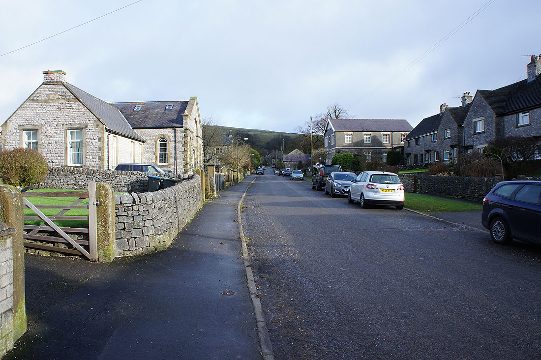
It's a quiet Sunday morning as I walk through Chelmorton
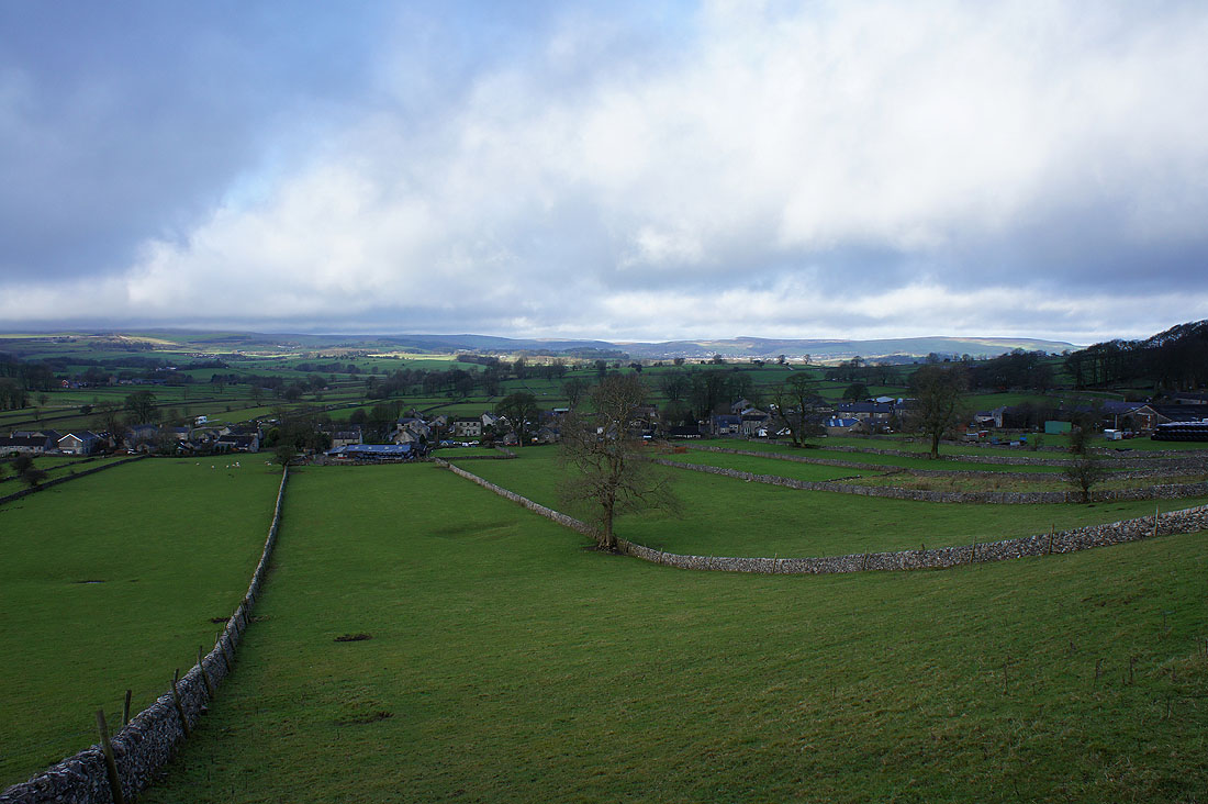
Looking back to Chelmorton from the path up to Church Lane
|
|
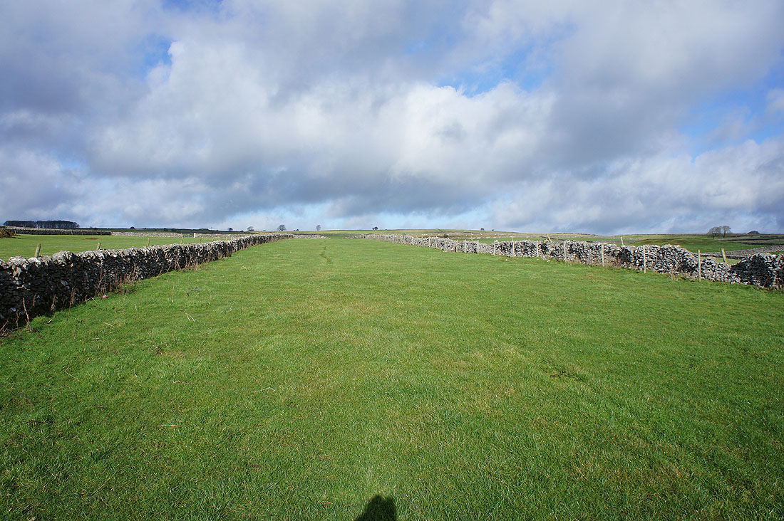
I soon join the Pennine Bridleway and head south along Highstool Lane
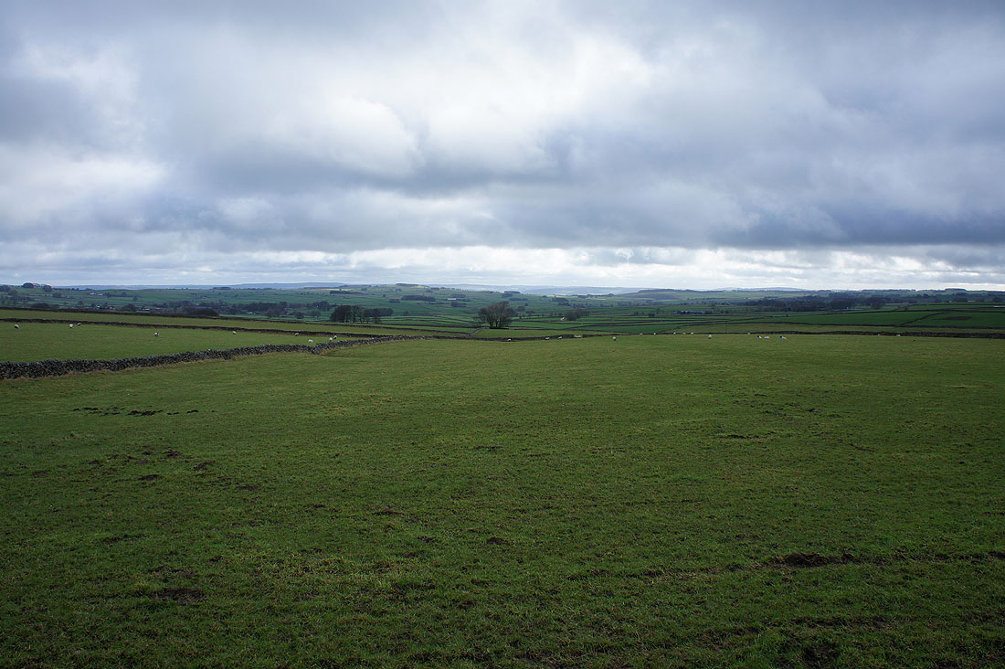
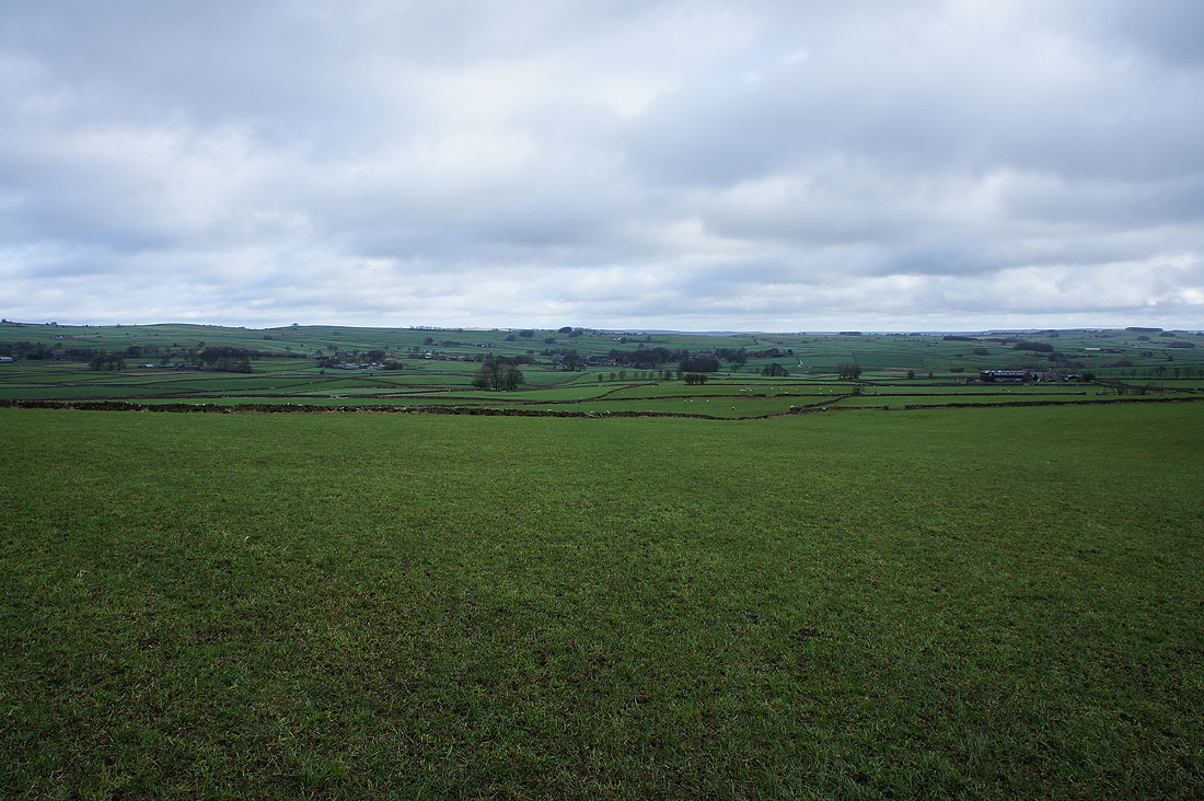
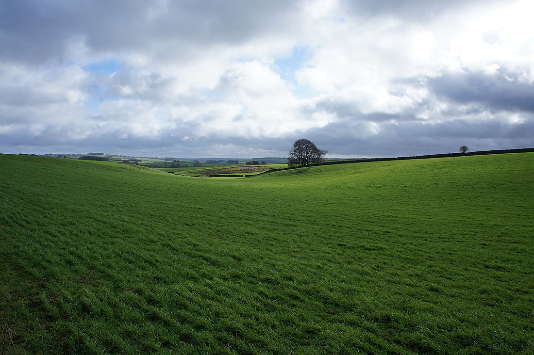
Looking east across White Peak countryside
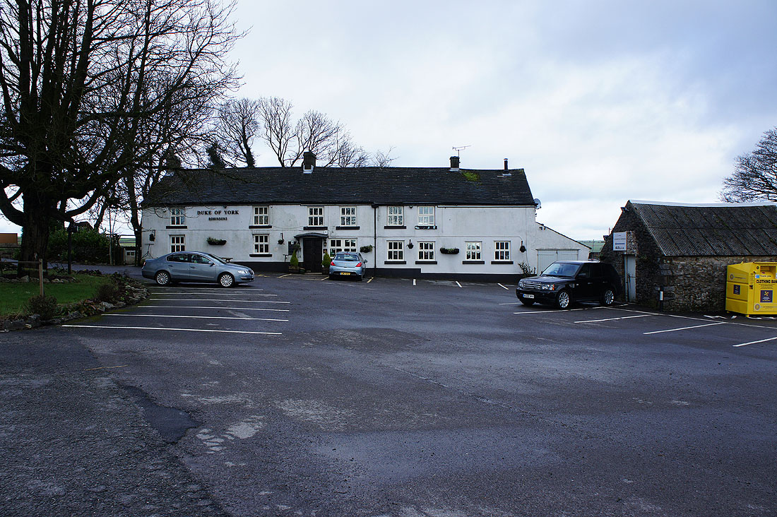
At the Duke of York pub by the A515 in the hamlet of Pomeroy
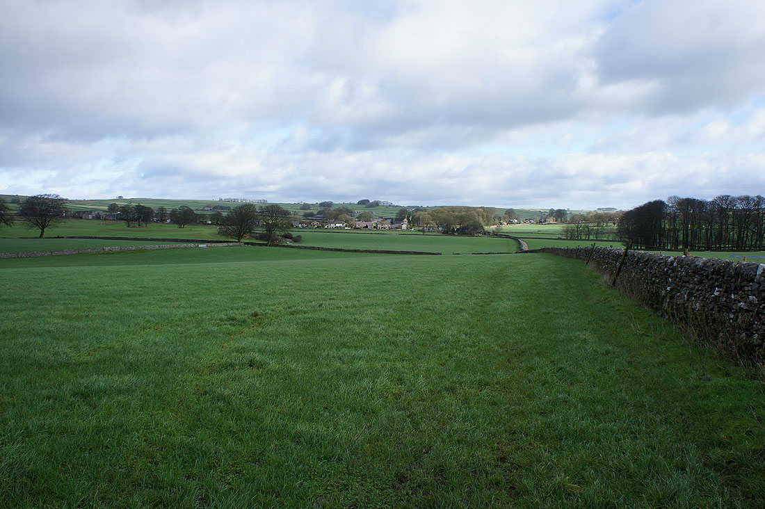
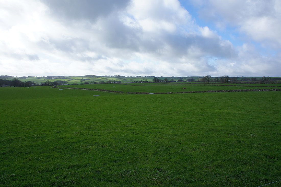
Lots of fields to cross as I head northeast towards Flagg
Over Pasture Lane
A welcome bit of sunshine drifts past on a neighbouring field
Approaching Flagg
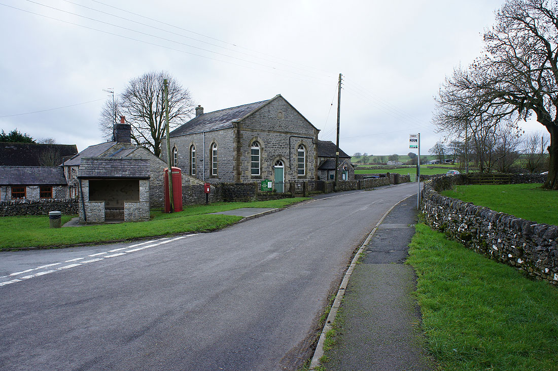
My route didn't take me through Flagg but past its outskirts and the Methodist Chapel
Looking back towards Flagg from Flagg Lane. It may be brightening up a bit.
and as if by magic the sun comes out as I head up through the fields to Moor Lane
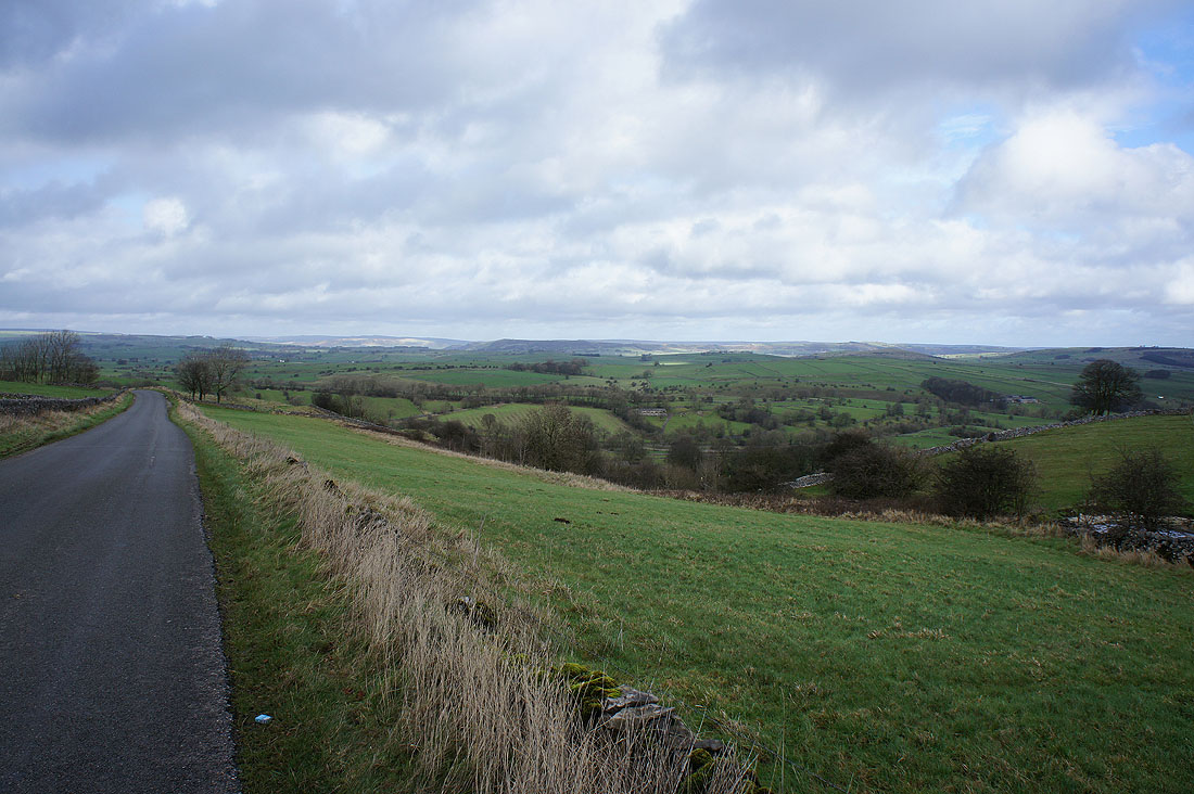
The view opens up to the northeast towards Longstone Moor as I join the road of Humphrey Gate to Taddington
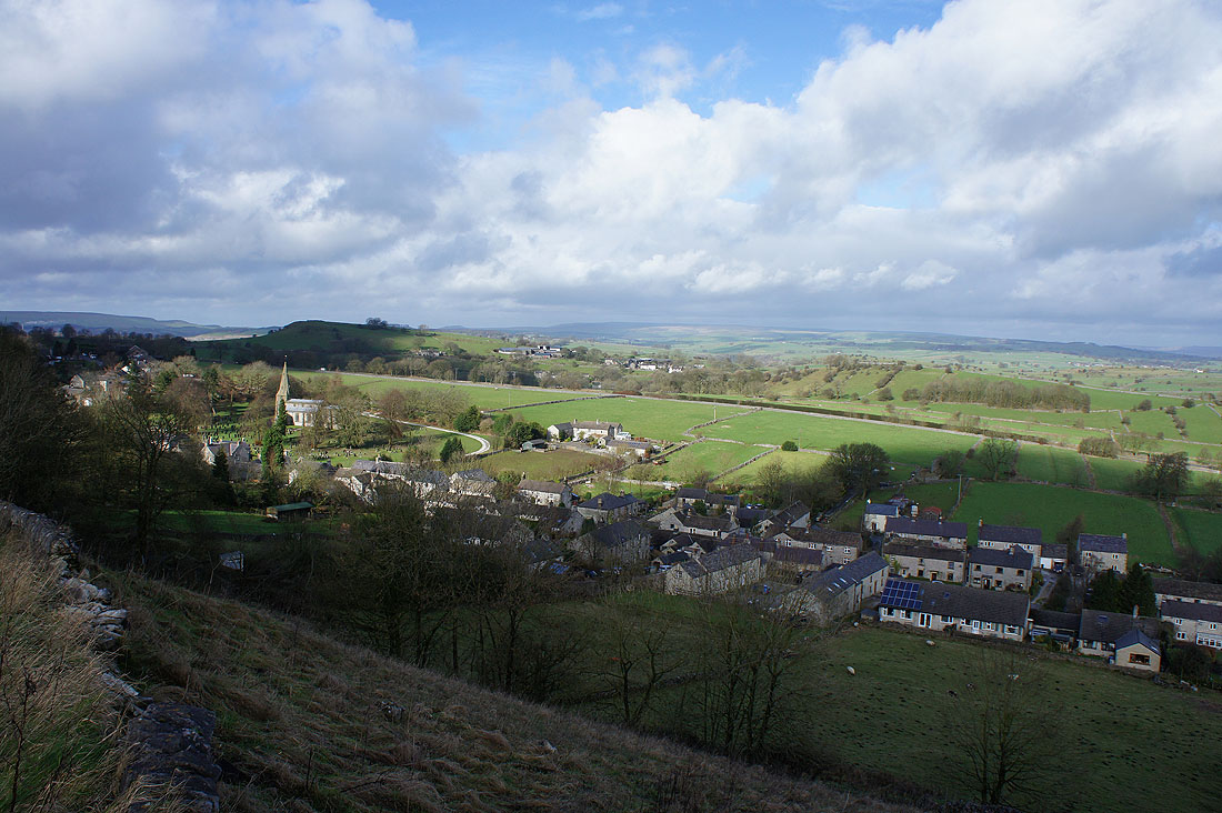
Taddington appears below
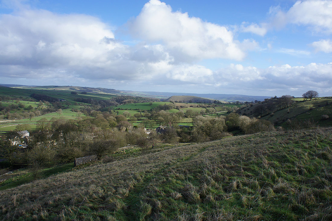
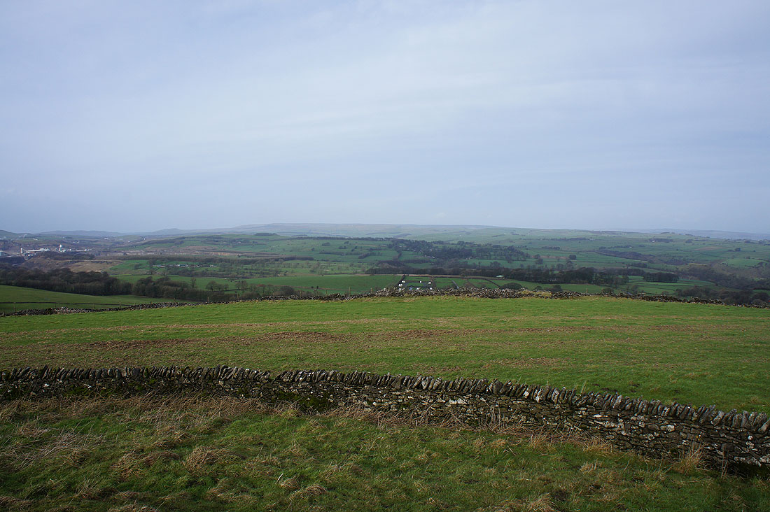
Longstone Moor, Taddington Dale and Fin Cop
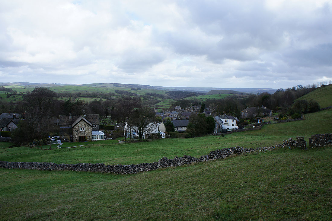
No sooner did I arrive in Taddington than I left it behind
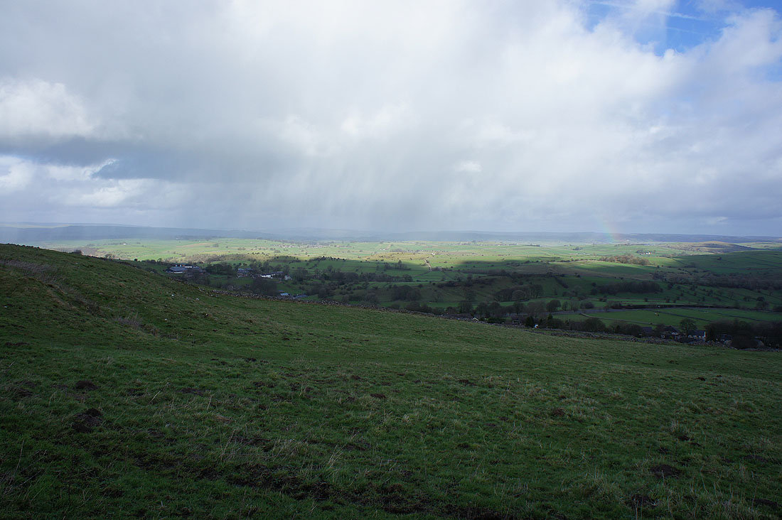
It was pretty windy when I set off this morning, now its almost blowing a gale and there seem to showers in the mix as well. One passes by to the northwest.
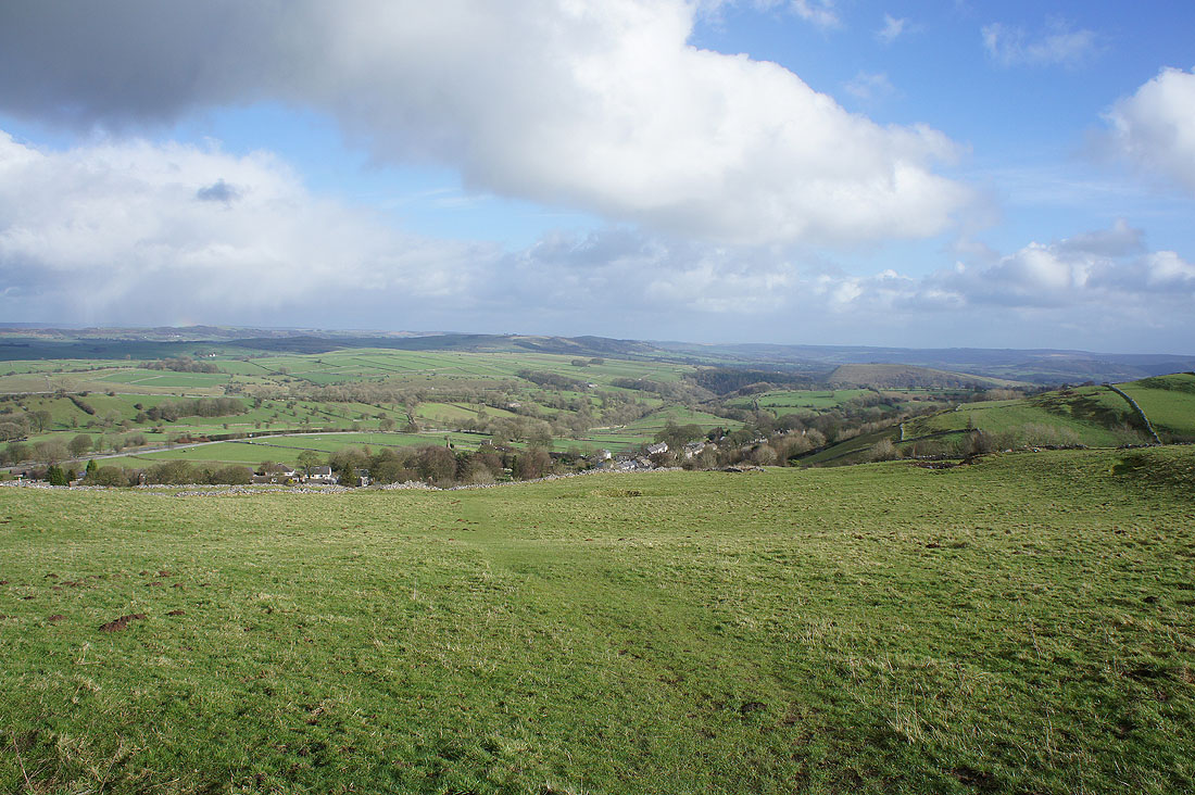
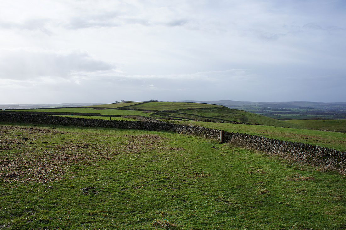
My favourite shot of the day as I look back on the path up to Sough Top. Taddington and Taddington Dale below, High Field, Longstone Moor and Fin Cop.
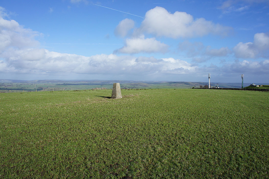
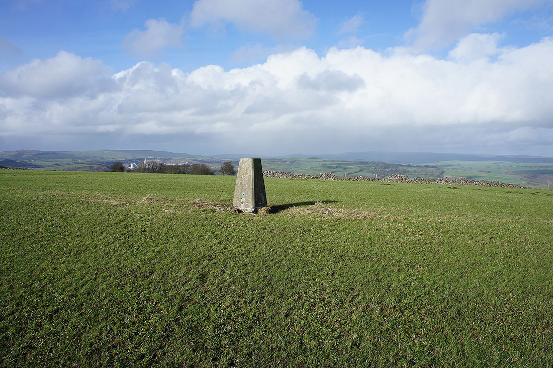
The trig point on Sough Top
Distant views towards the moors around Buxton and Kinder Scout
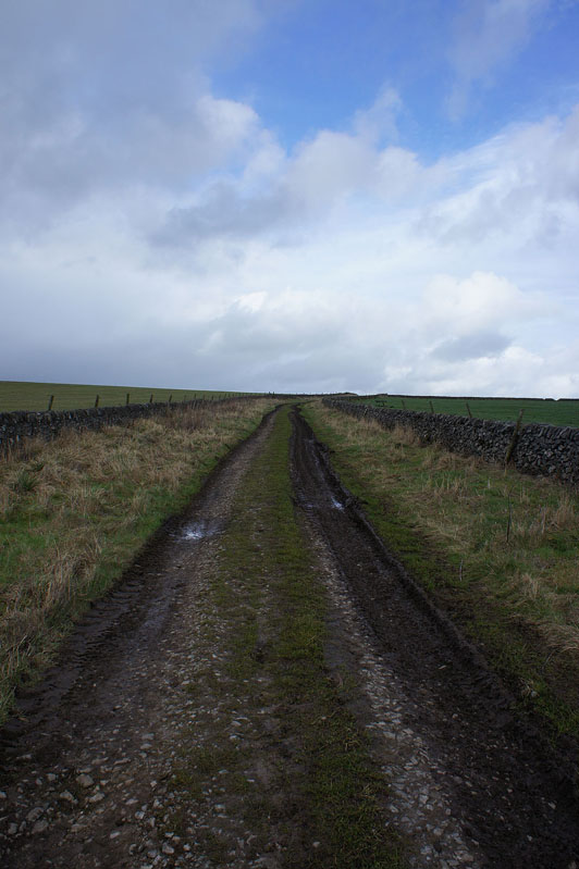
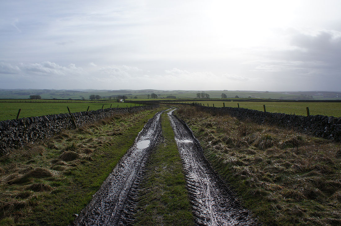
Heading west towards Fivewells Farms
and across Sough Lane
|
|
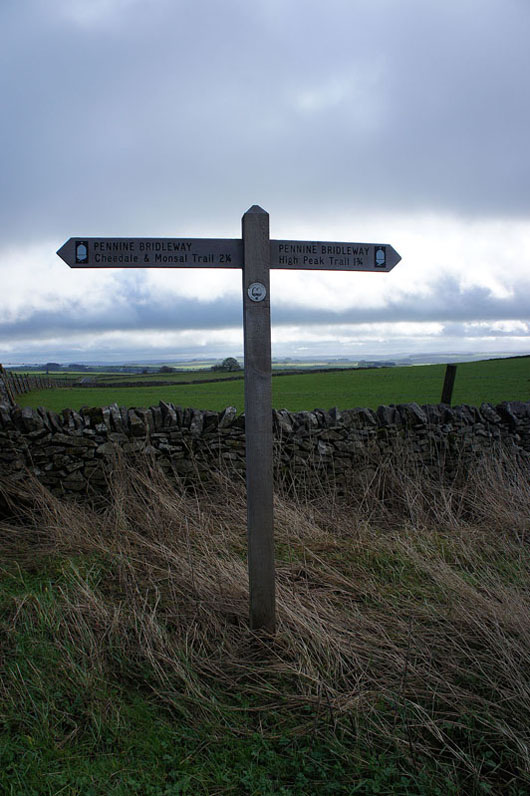
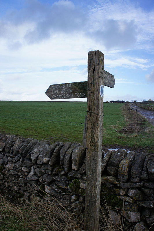
As I arrive at Pillwell Lane a signpost points the way to the Fivewells Chambered Cairn and I follow the bridleway north
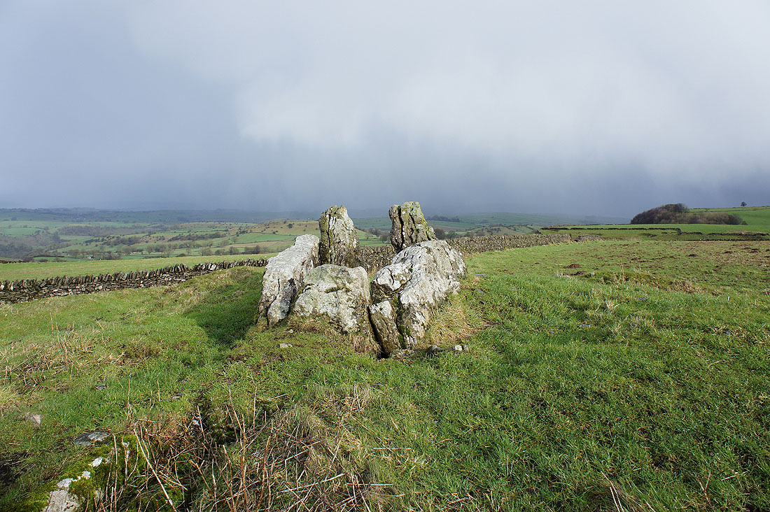
The Fivewells Chambered Cairn. The dark cloud in the background gave me an interesting ten minutes as a heavy hail shower passed through driven by the strong wind. Fortunately there was a wall for me to shelter behind.
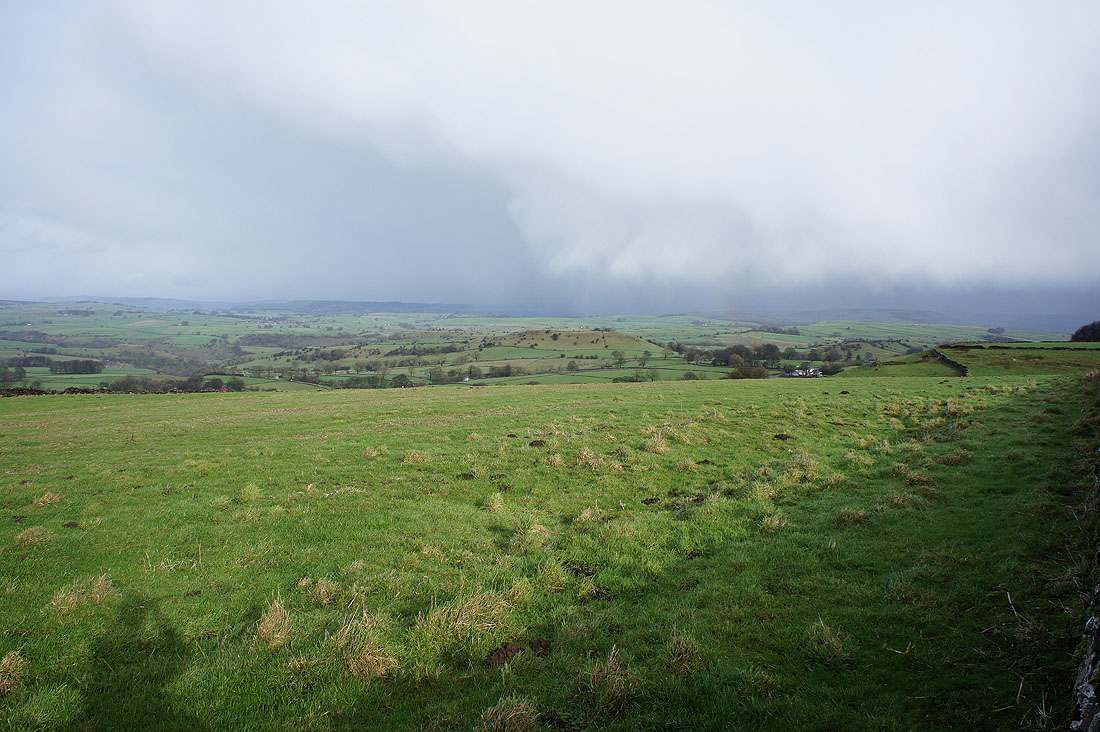
A big view to the northeast towards a distant Hucklow Edge
Chelmorton Low to the west
Kinder Scout in the distance
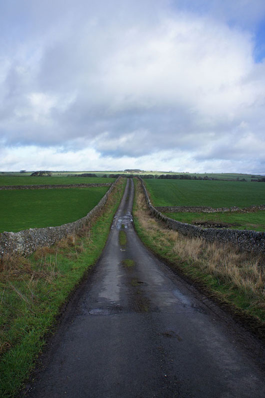
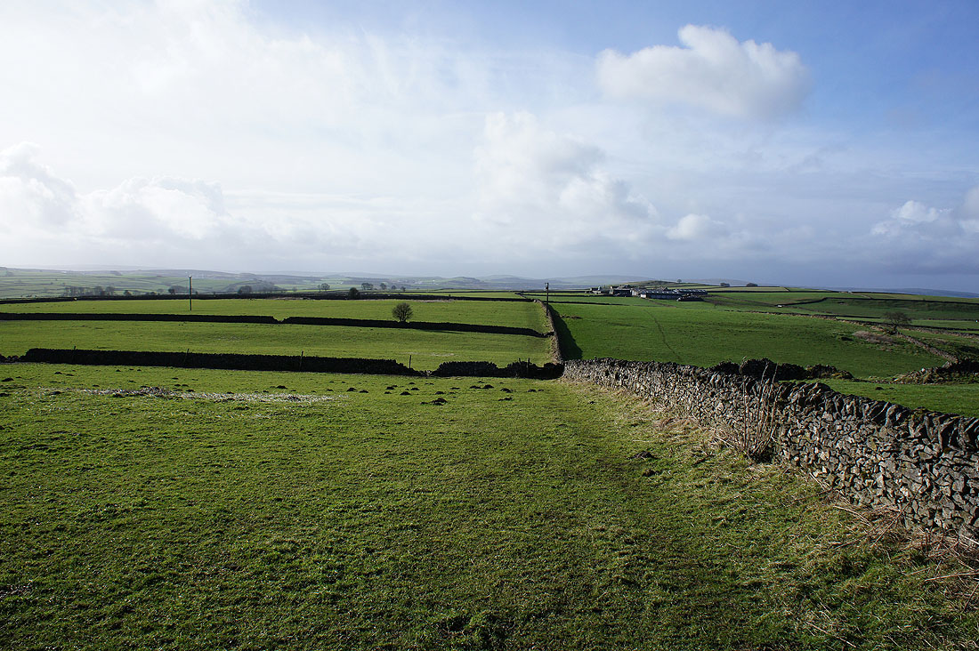
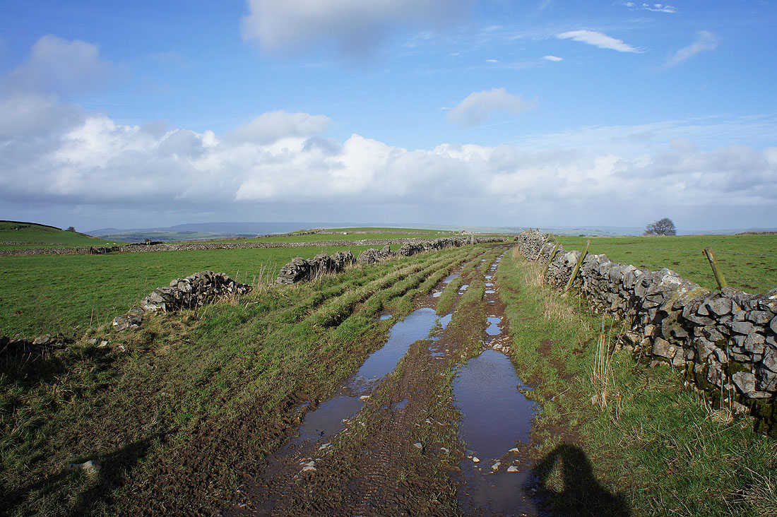
Heading back along Pillwell Lane
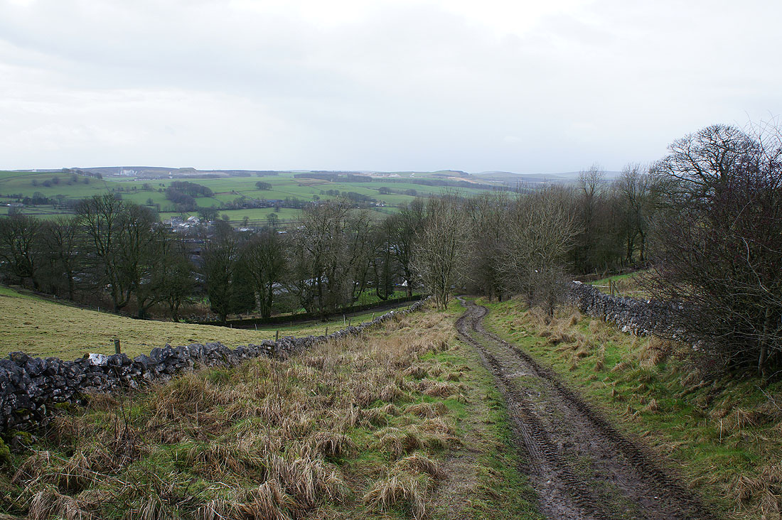
and down into Chelmorton
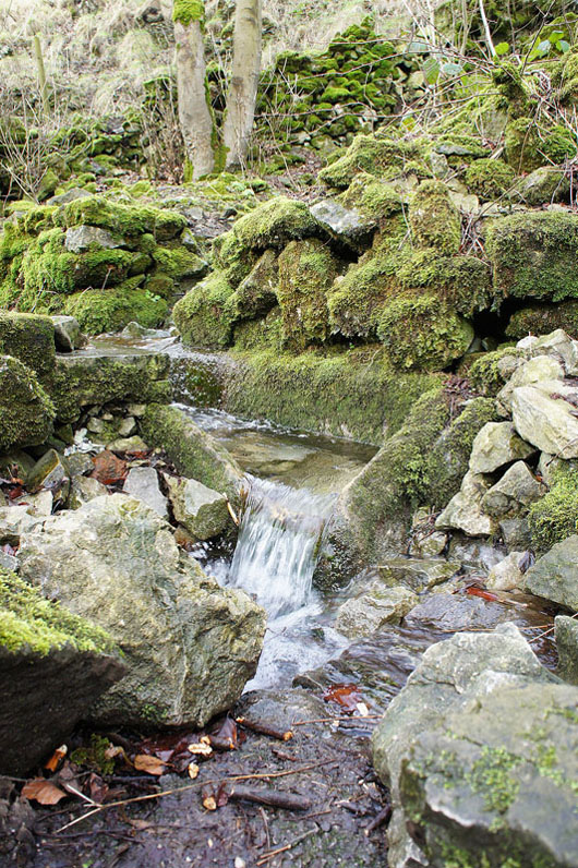
The spring of Illy Willy Water as it emerges from the base of Chelmorton Low. The village's linear nature is down to it being built along the course of the stream.
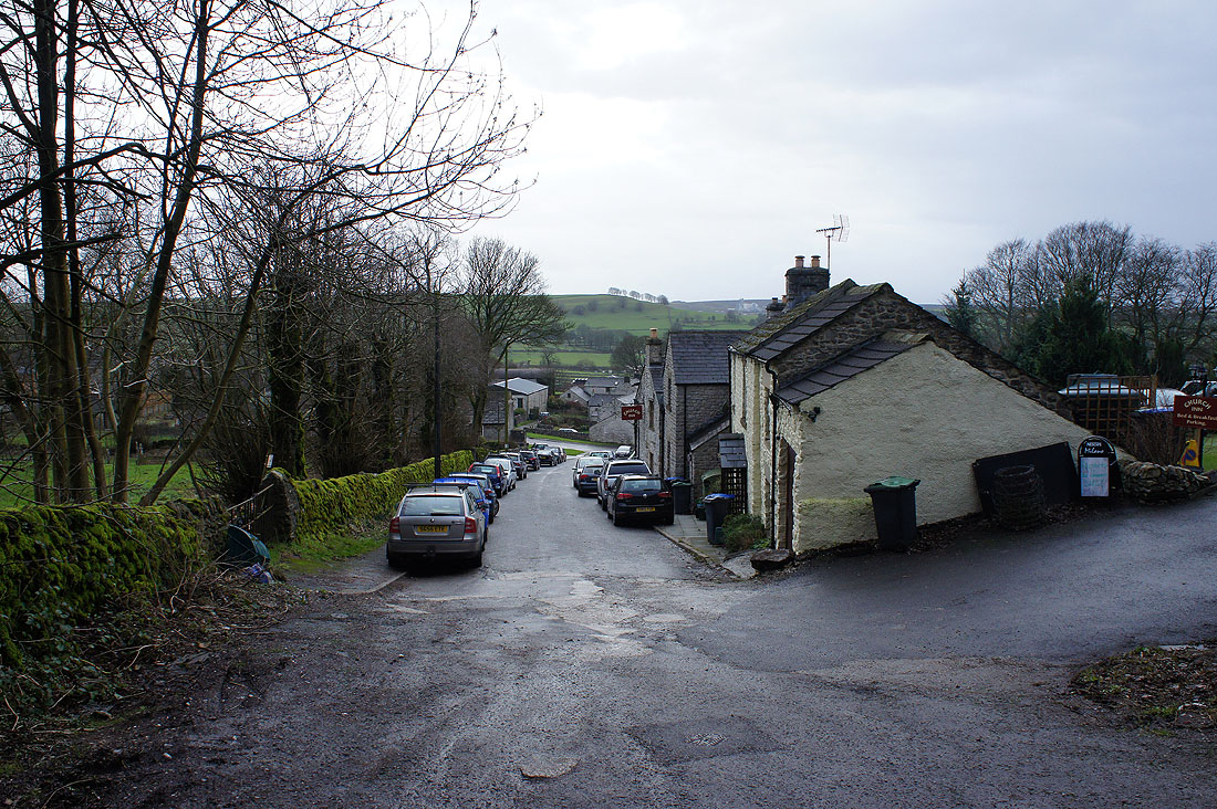
Back in Chelmorton