7th February 2021 - Weets Hill
Walk Details
Distance walked: 8.5 miles
Total ascent: 1245 ft
OS map used: OL21 - South Pennines
Time taken: 4 hrs
Route description: Foulridge-Hey-Hey Fold-Booth House Farm-High Lane-Copy Nook-Lister Well Road-Gisburn Old Road-Weets House Farm-Weets Hill-Weets House Farm-Gisburn Old Road-Peel's House Farm-Hollin Hall-Barnoldswick Road-Slipper Hill Reservoir-Reedymoor Lane-Foulridge Lower Reservoir-B6251-Foulridge
Winter has returned for this weekend's visit to Weets Hill. There's a light cover of snow on the hills and with a forecast of bitterly cold easterly winds for the week to come there might be more than a light cover by next weekend. It wasn't the most inspiring of days for being out on the hills with mostly grey and overcast skies, and precious little in the way of brightness. The light cover of snow and the grey skies made for bleak winter scenery, and that strong easterly wind certainly added to the impression.
Setting off from home I walked to the western end of Station Road and took the footpath straight up the hill and across fields to the corner of Whitemoor Road. Here I turned right and took a lane past some houses, then a footpath on the right down to Hey Fold. The next bit was a little complicated as I took the footpath right at Hey Fold, then left across the crest of a little hill and past Hullet Hall down to County Brook Lane. I briefly walked down the lane, took a footpath on the left through a patch of woodland and across a bridge over County Brook, before resuming following footpaths north across fields past Wood End Farm to Booth House Farm, where I took a footpath up a field to High Lane. I then walked a short distance north along High Lane, then took a track on the left and followed it uphill past Copy Nook to the bridleway of Lister Well Road. I then turned left and walked along Lister Well Road until I reached its end at Gisburn Old Road, and then up Gisburn Old Road to its end at Weets House Farm and a gate onto the Pennine Bridleway. A short climb from the Pennine Bridleway and I was at the trig point on the summit of Weets Hill. After taking in the view I returned to Weets House Farm and walked down Gisburn Old Road until I reached Peel's House Farm where I took a bridleway on the right, then at the end of this I turned left and followed a footpath by the wall, before crossing the wall and taking a footpath down through fields to Hollin Hall on Barnoldswick Road. I crossed the road and took the footpath opposite down through fields to where it meets the lane by Slipper Hill Reservoir. I then took the footpath round Slipper Hill Reservoir to reach a track past Sand Hall to reach Reedymoor Lane, which I crossed to reach Foulridge Lower Reservoir. After walking north by Foulridge Lower Reservoir I took a ladder stile on the left for a footpath up across fields to the B6251 for a return to Foulridge and home.
Route map
© Crown copyright. All rights reserved. License number PU 100034184.
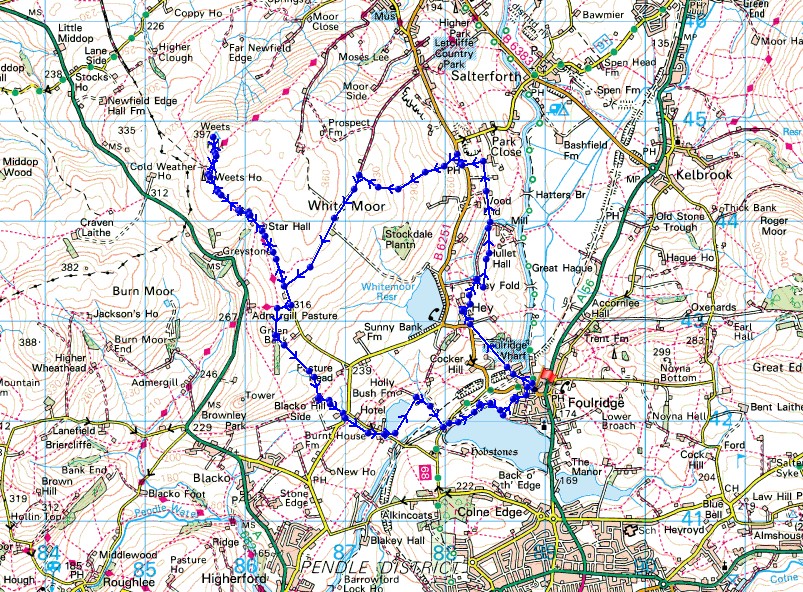
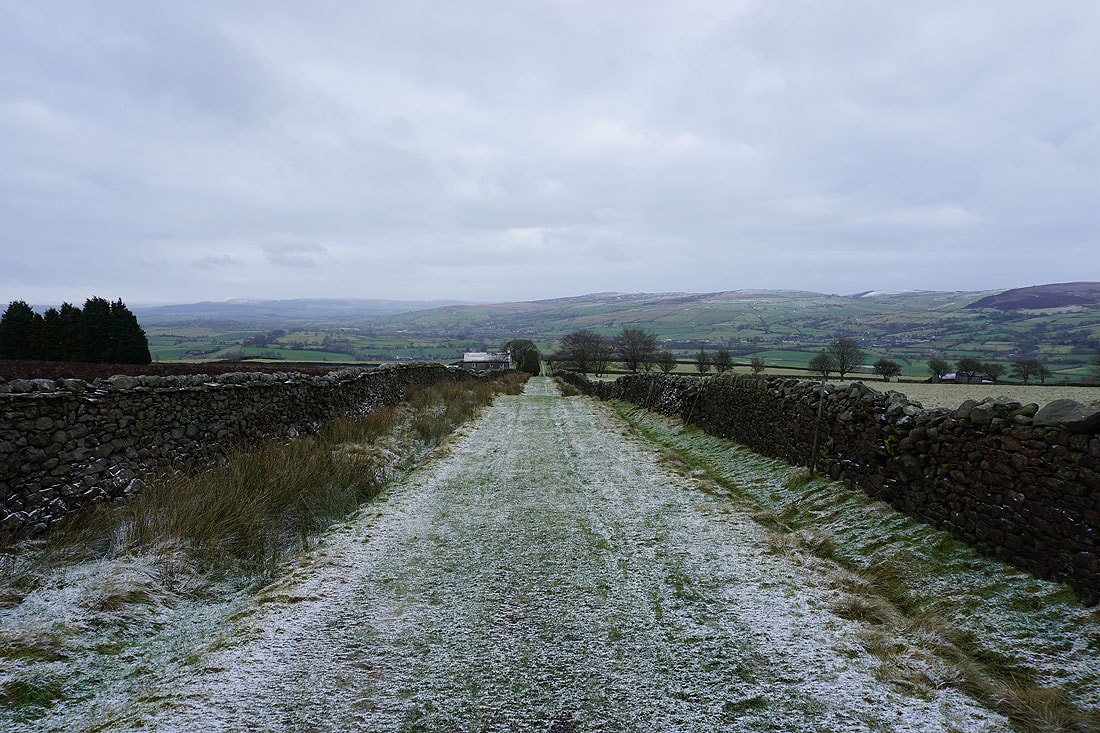
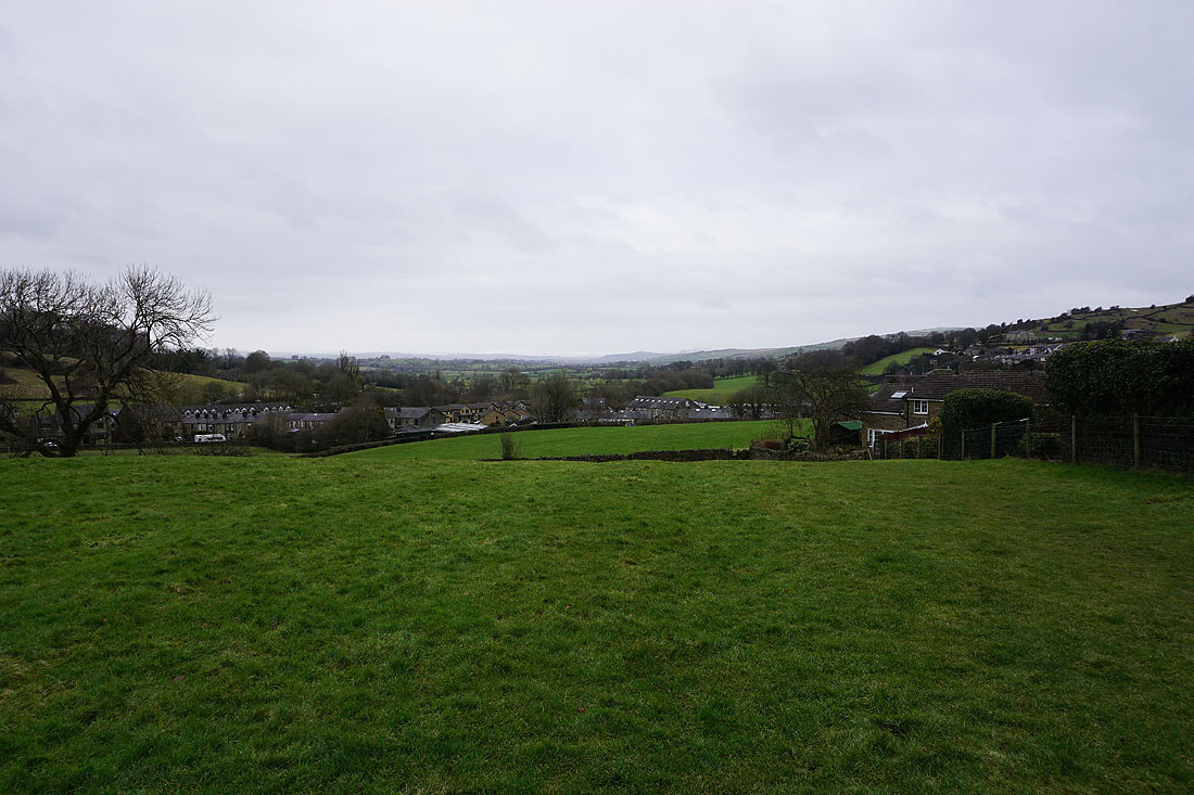
Leaving Foulridge behind as I follow the footpath up to Hey..
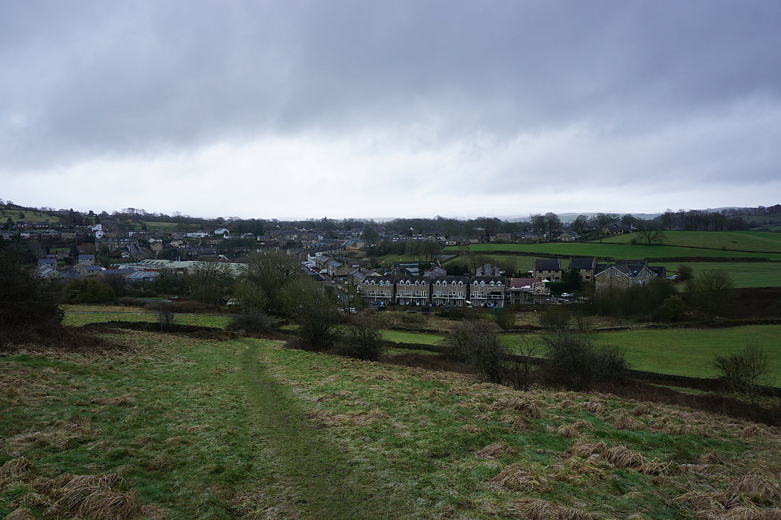
Bleara Moor and Kelbrook Moor ahead as I follow the footpath north from Hey to County Brook..
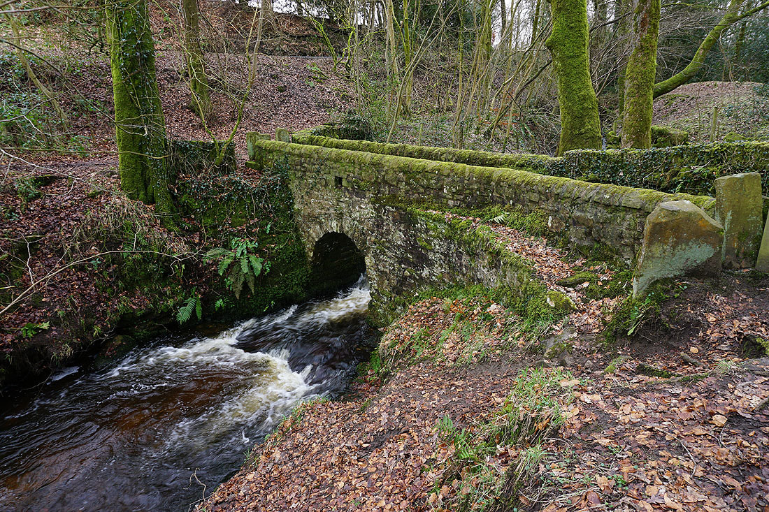
The footbridge over County Brook
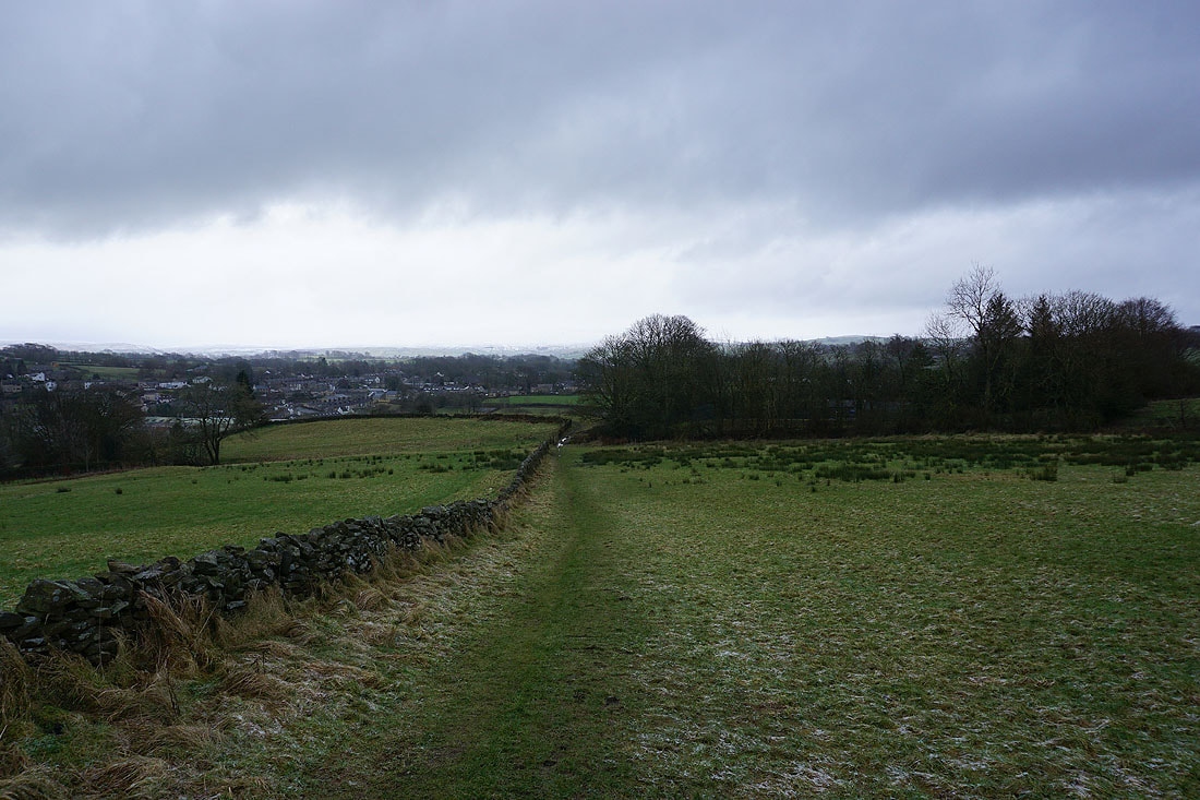
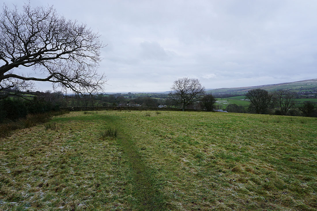
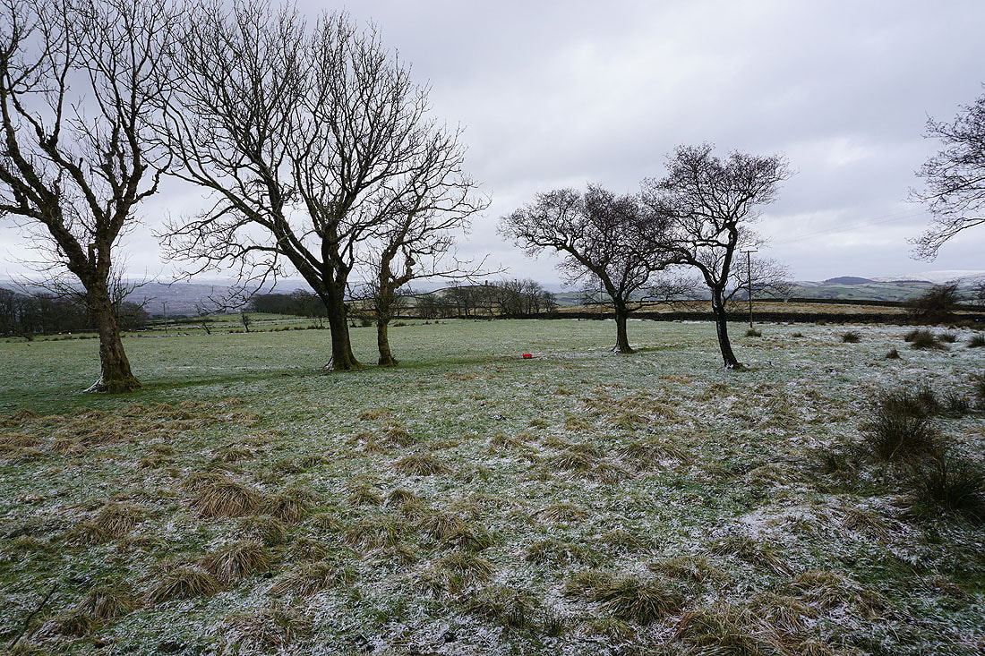
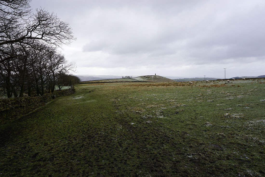
Looking back to Bleara Moor and Kelbrook Moor as I take the footpath from Booth House Farm up to High Lane
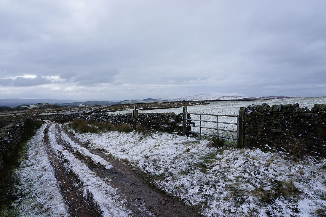
On the track from High Lane up onto Lad Lowe Hill
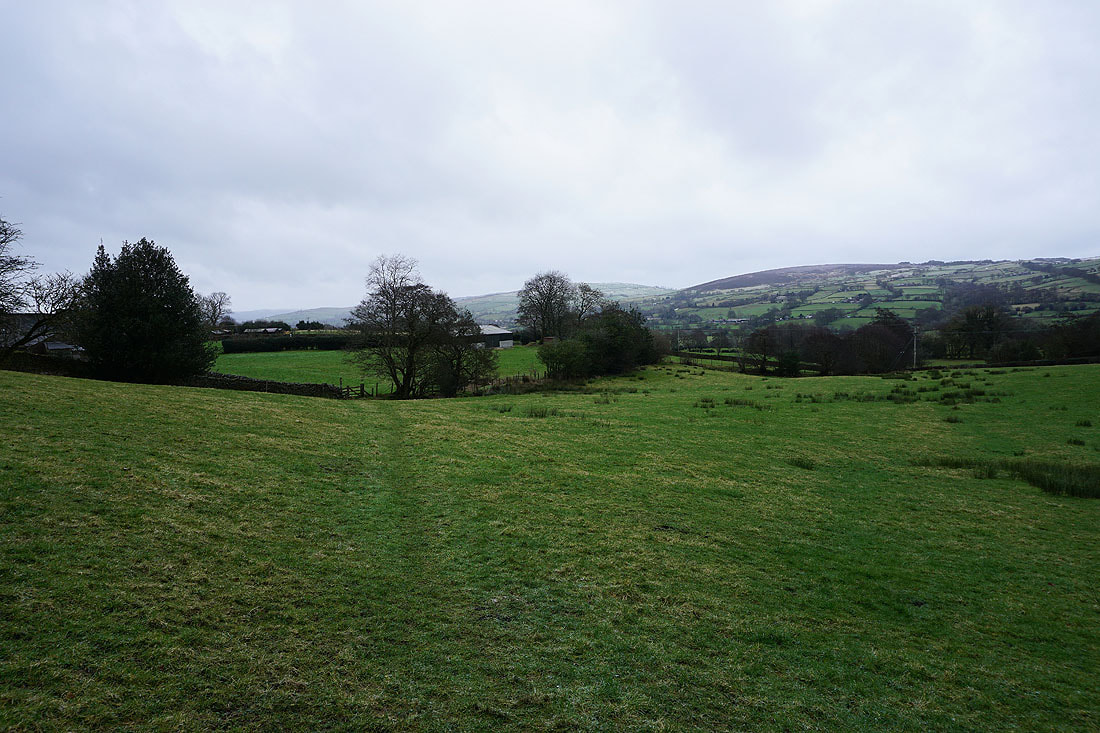
Looking back with Barden Moor, Thornton Moor and Bleara Moor in the distance
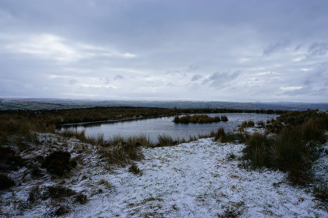
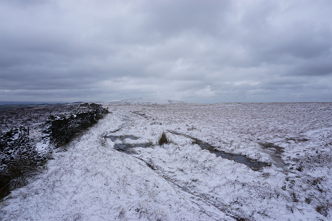
A snow covered Boulsworth Hill in the distance from the pool on Lad Lowe Hill
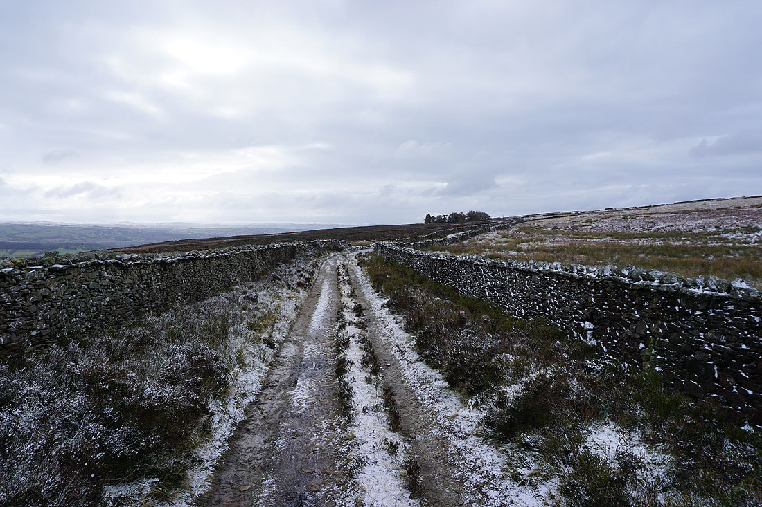
Joining the bridleway of Lister Well Road
Looking north along Lister Well Road. The moors around Wharfedale are in the distance, though they're a bit hard to make out.
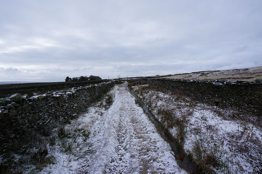
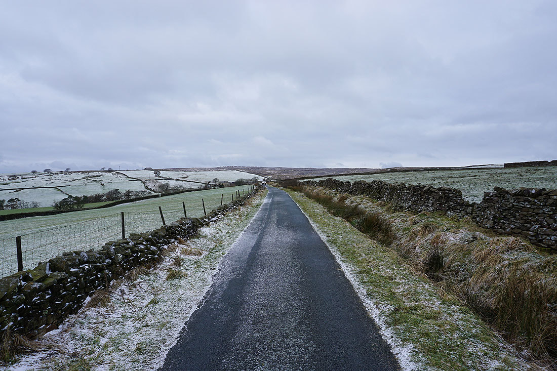
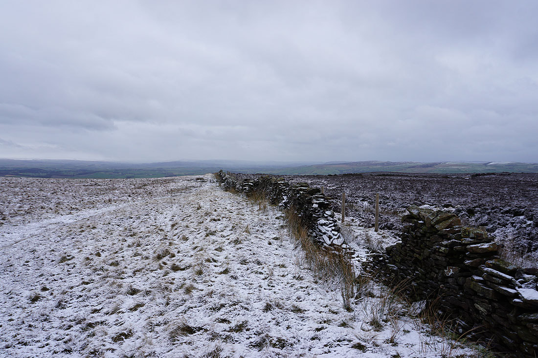
Heading south along Lister Well Road to Gisburn Old Road..
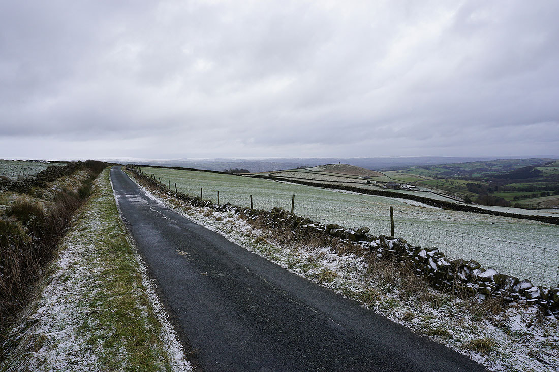
Looking back north along Gisburn Old Road
Blacko Hill appears ahead..
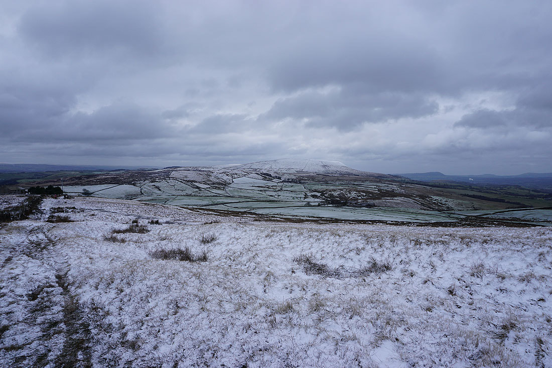
..and then Pendle Hill on the right
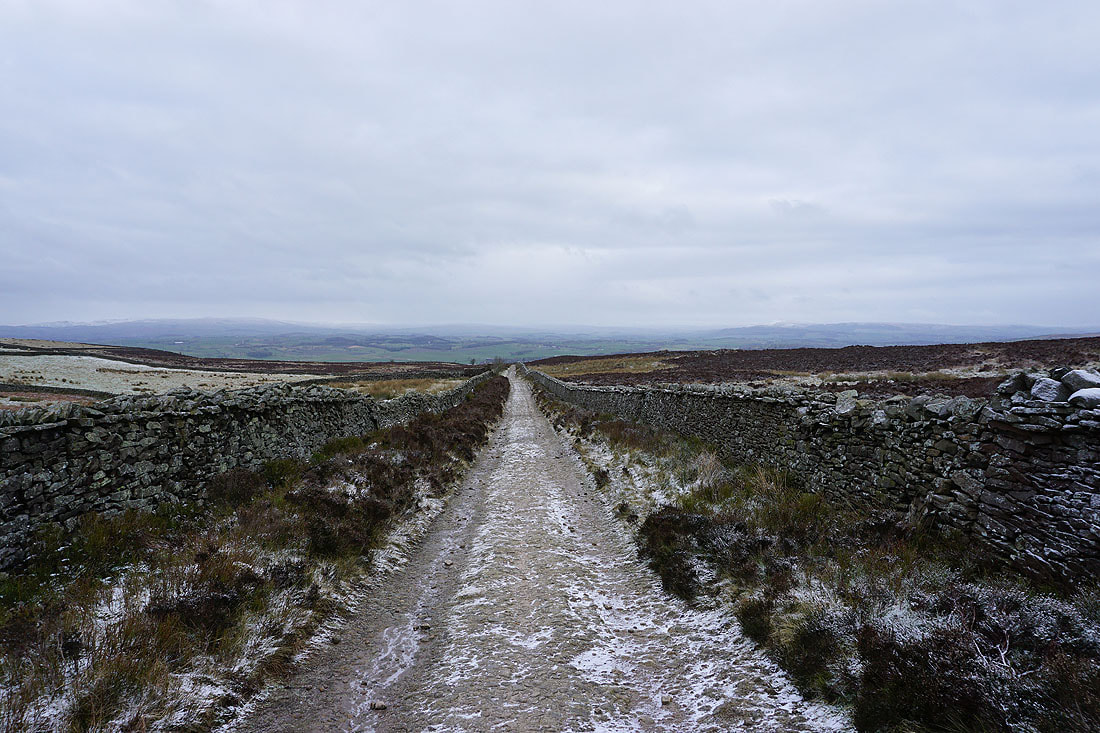
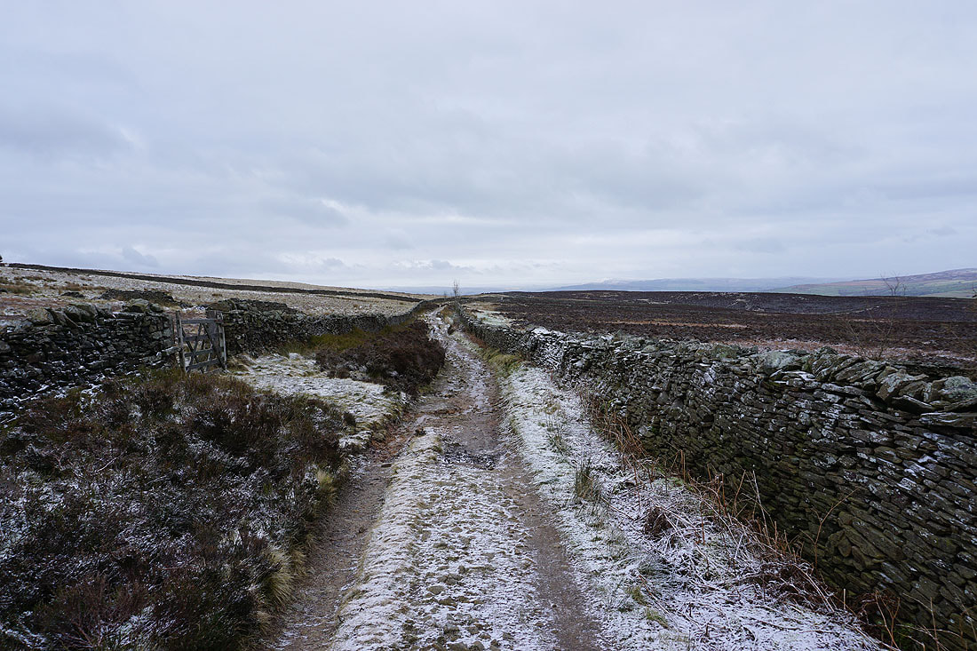
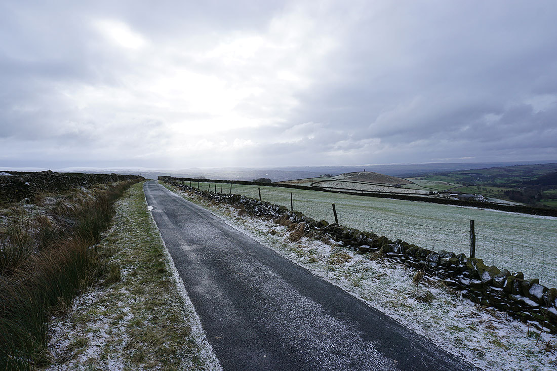
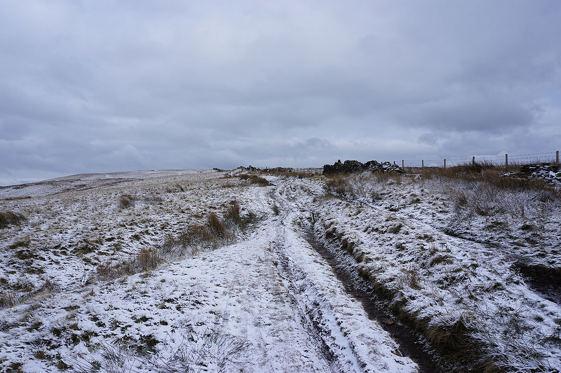
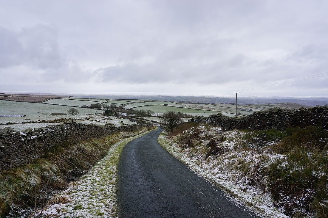
Heading north along Gisburn Old Road to Weets Hill
Blacko Hill on the right as I look back along Gisburn Old Road
Blacko Hill, the Forest of Pendle and Pendle Hill from Gisburn Old Road
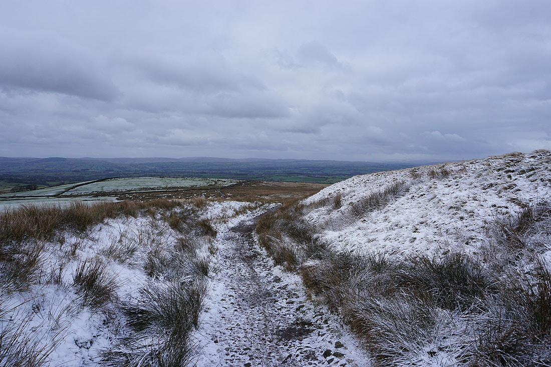
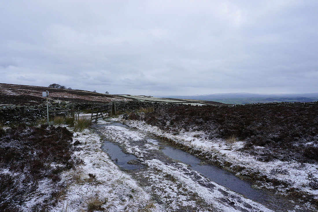
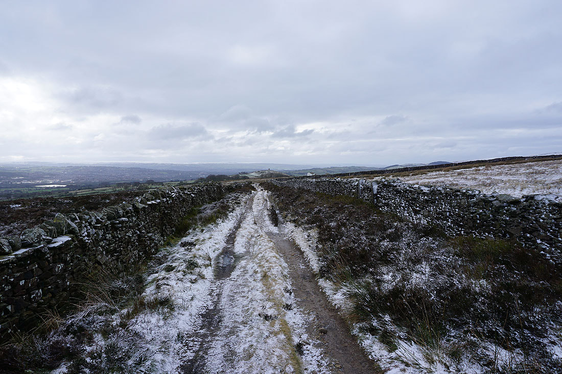
From the top of Gisburn Old Road the Pennine Bridleway heads north to the green fields of the Ribble Valley
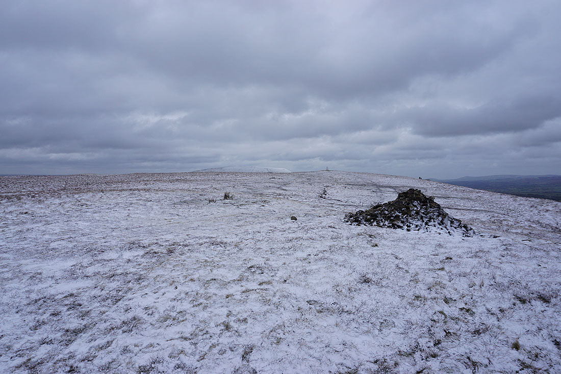
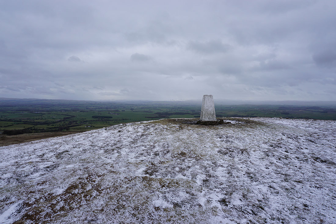
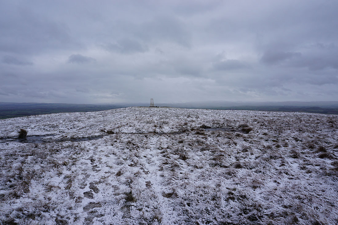
Onto a snow covered Weets Hill
Pendle Hill to the southwest
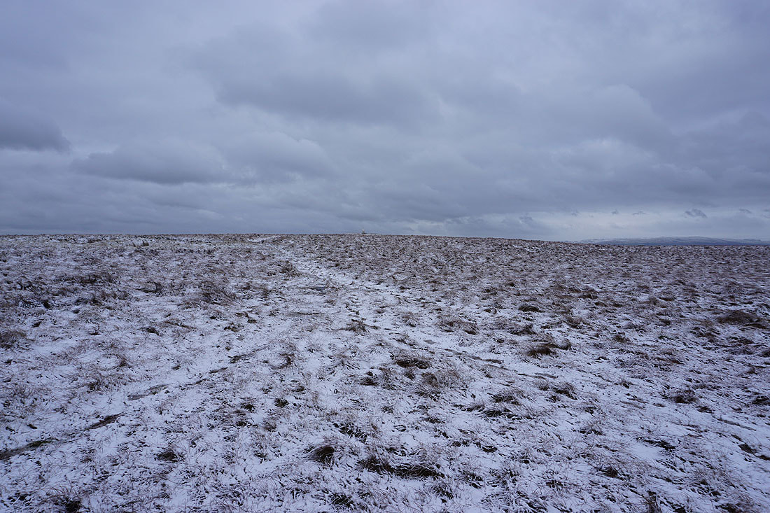
The grey skies and thin cover of snow makes for a bleak winter's scene...
The top of Pendle Hill in the distance from the eastern end of the hill
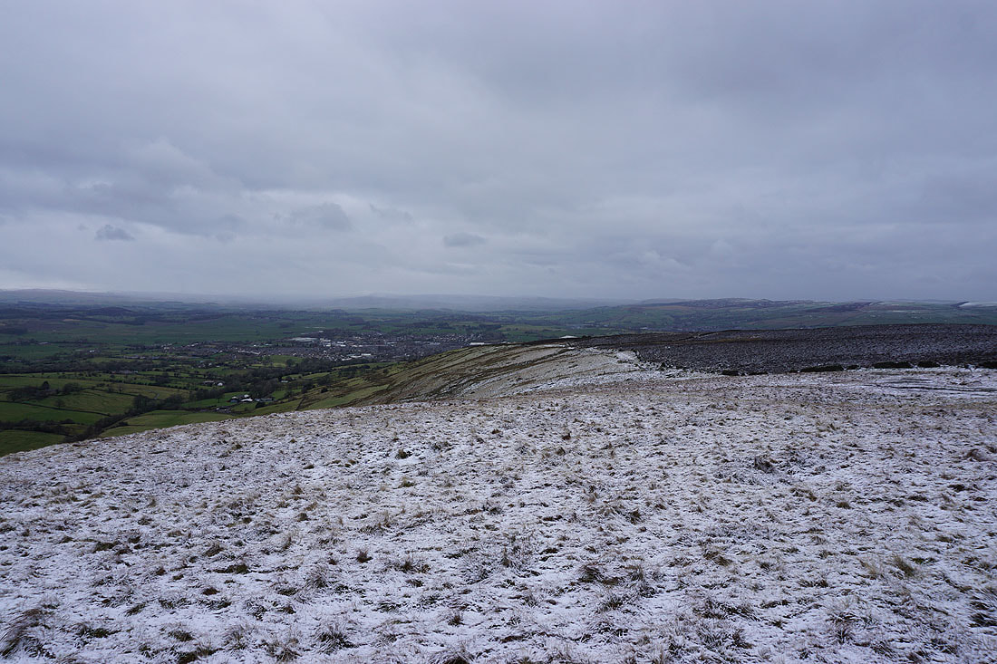
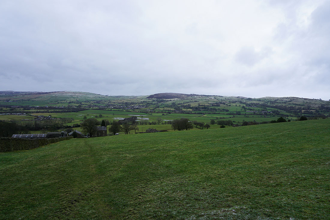
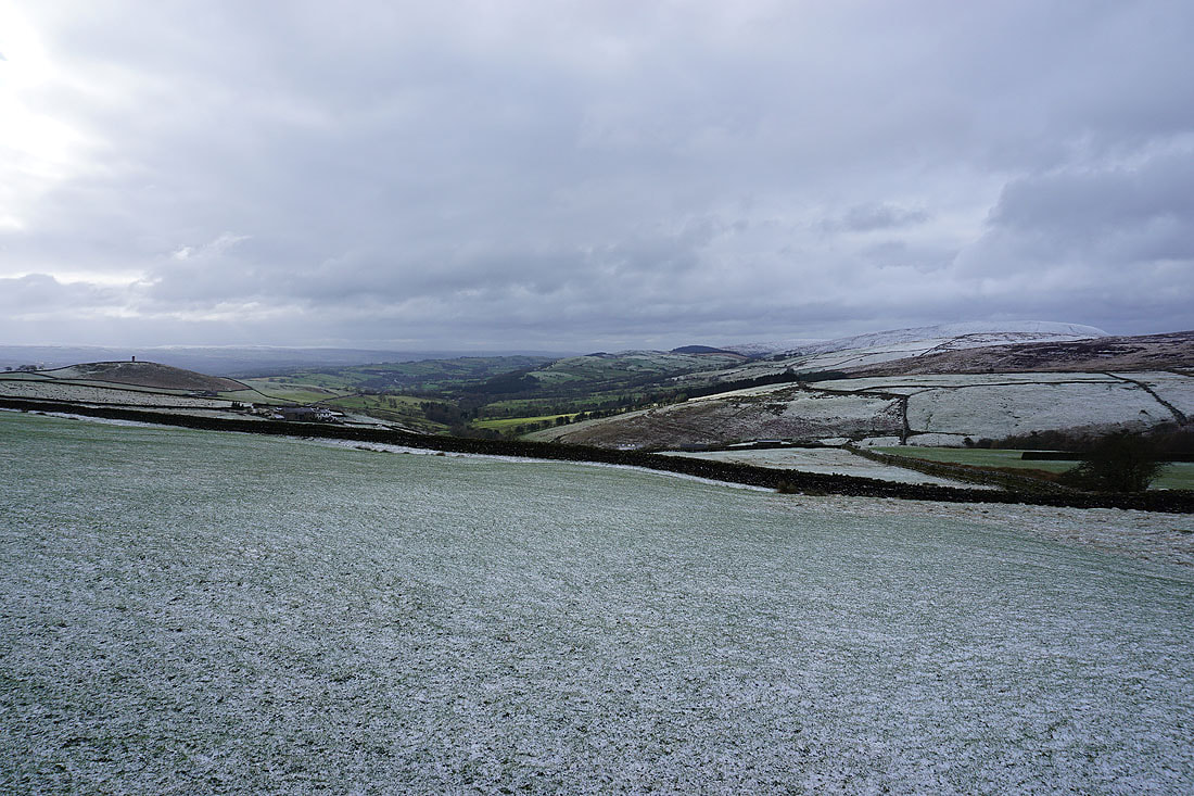
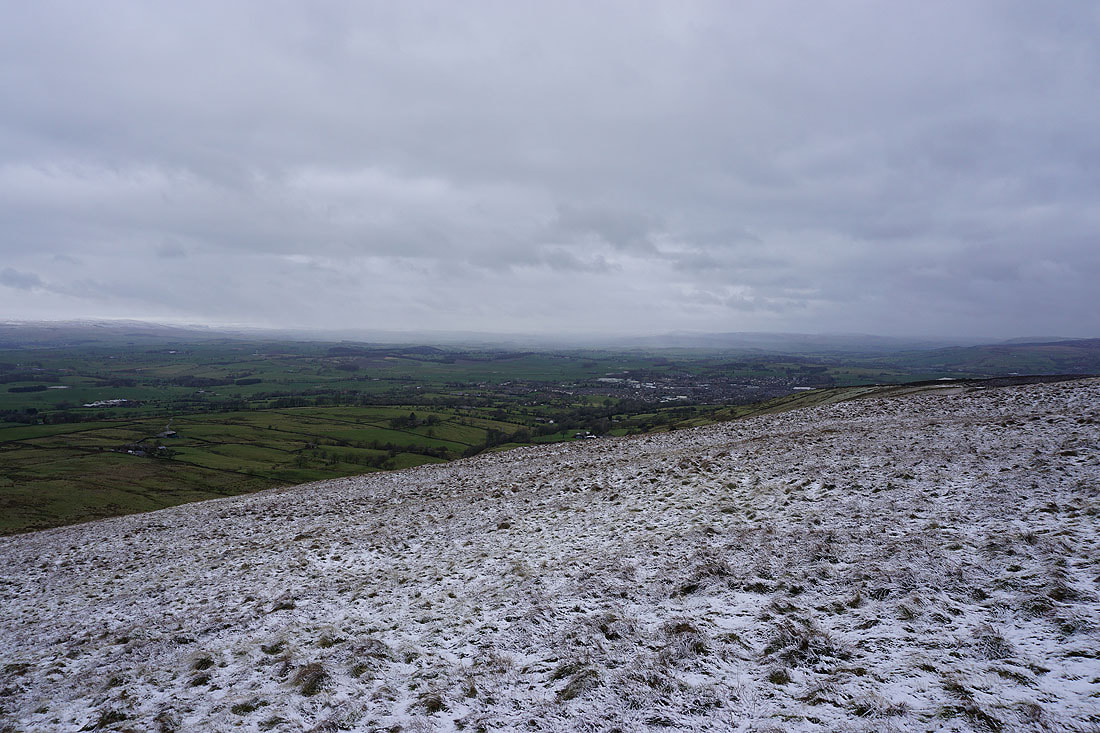
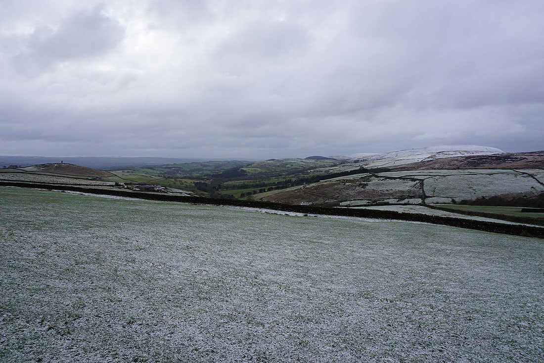
Barden Moor and Thornton Moor to the east with the town of Barnoldswick below
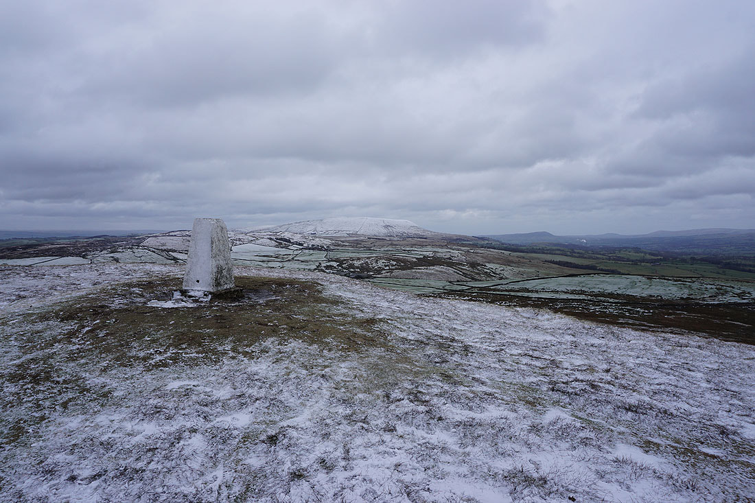
Pendle Hill from the trig point on Weets Hill
Looking northeast and north towards the Yorkshire Dales. It's trying to snow and that's making the hills difficult to make out..
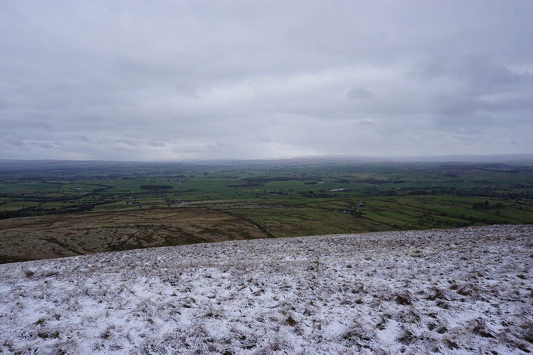
The part of the Yorkshire Dales around Ribblesdale to the north from the trig point..
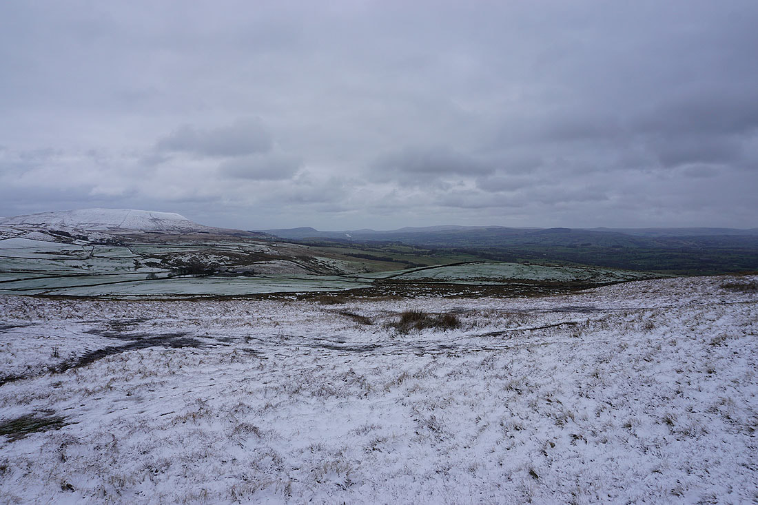
Pendle Hill, and the western fells of the Forest of Bowland on the other side of the Ribble Valley
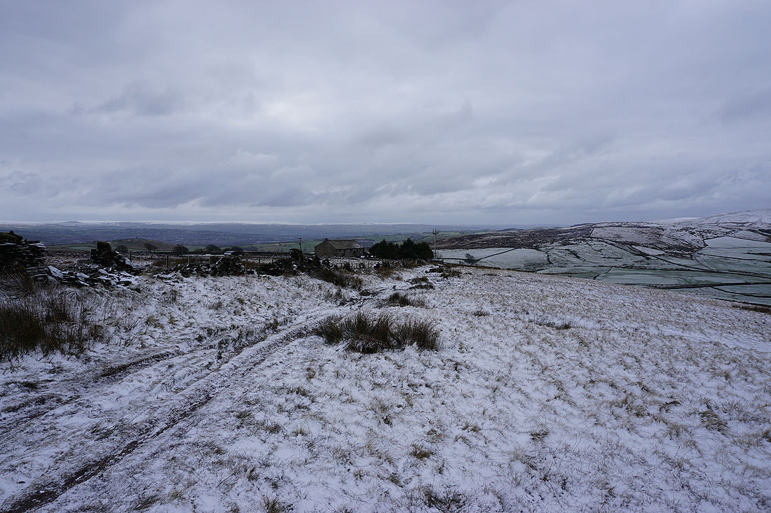
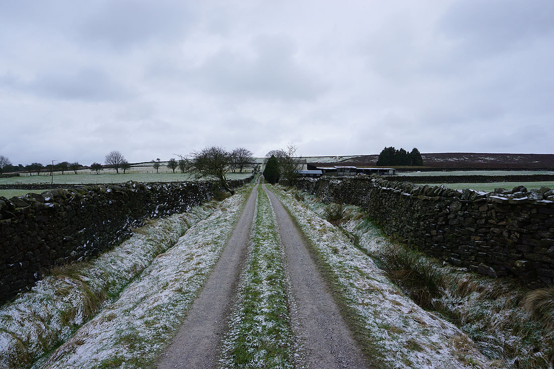
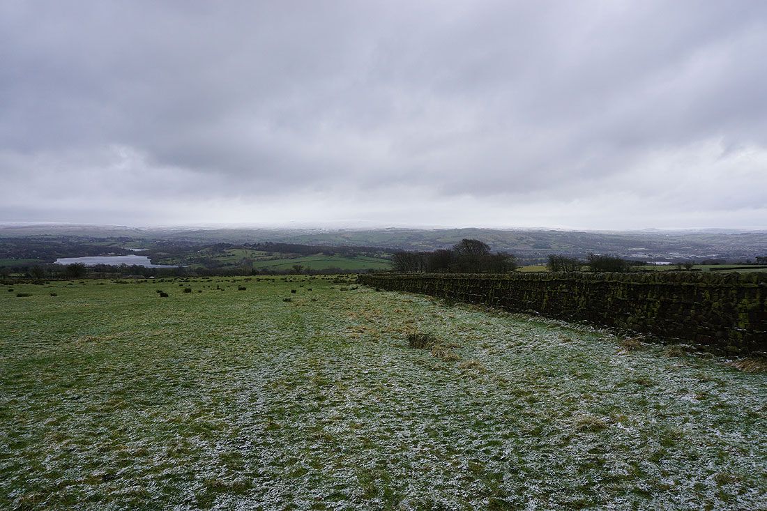
Heading back to Weets House Farm at the top of Gisburn Old Road
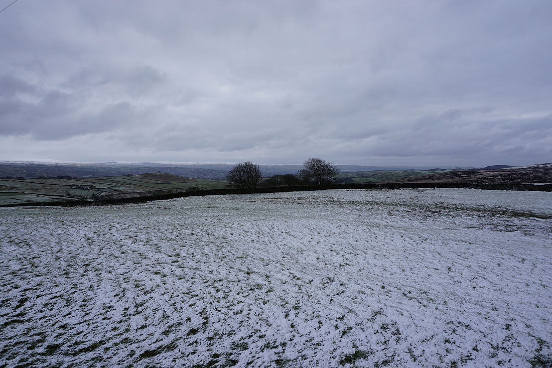
Snow topped South Pennines moors in the distance..
..as I head down Gisburn Old Road..
Blacko Hill, the Forest of Pendle and Pendle Hill
Blacko Hill through the bare trees
On Blacko Hill
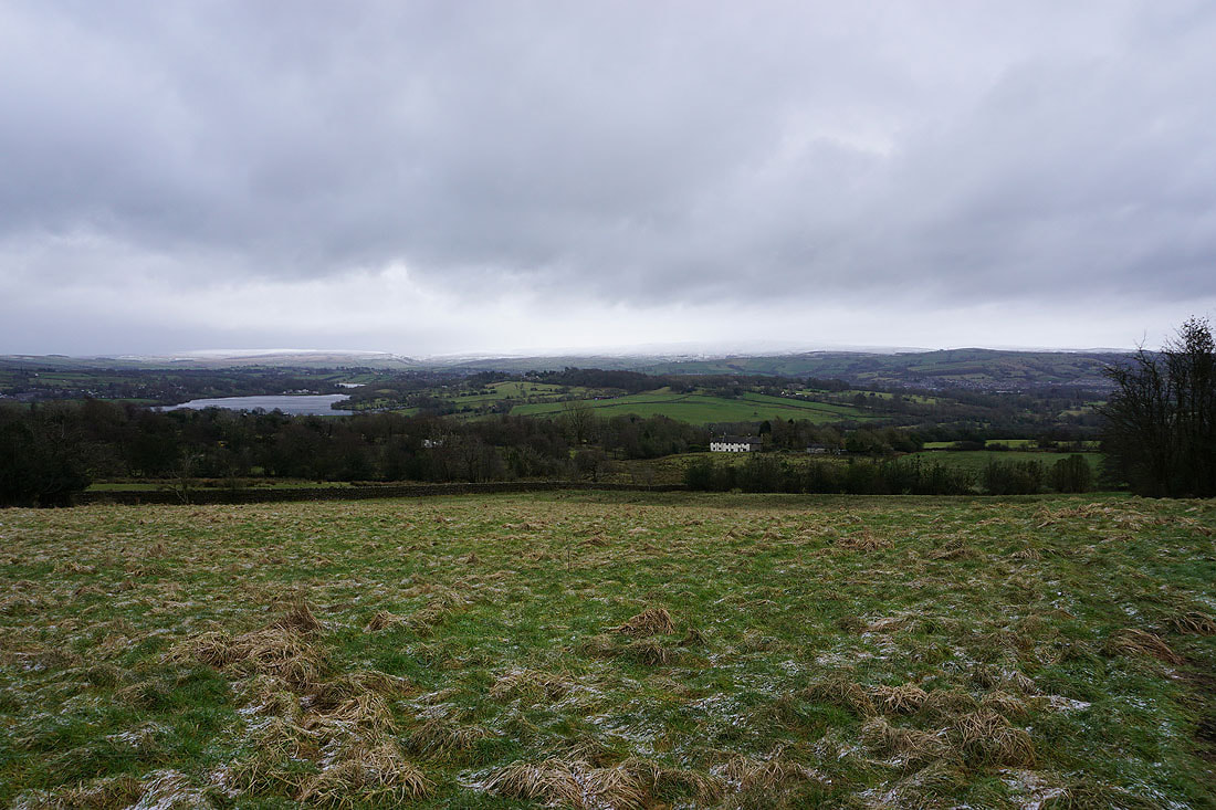
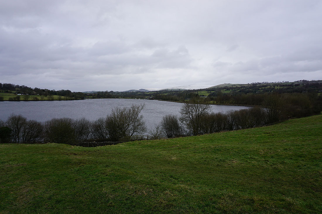
Foluridge Lower Reservoir and Boulsworth Hill in the distance as I take the path down to Hollin Hall on Barnoldswick Road..
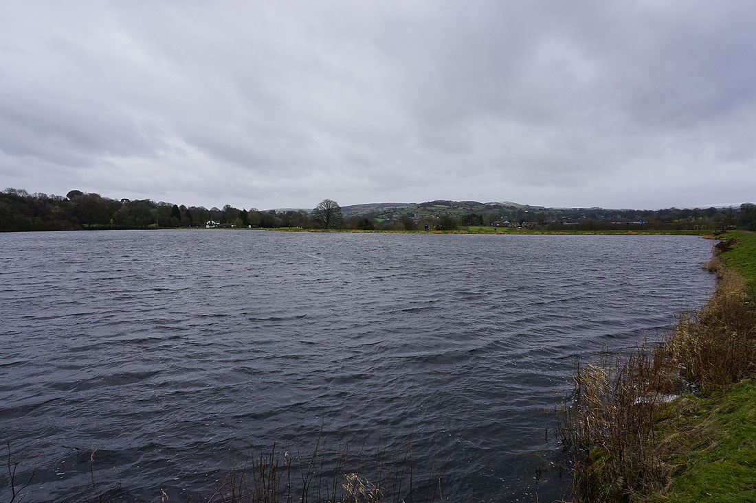
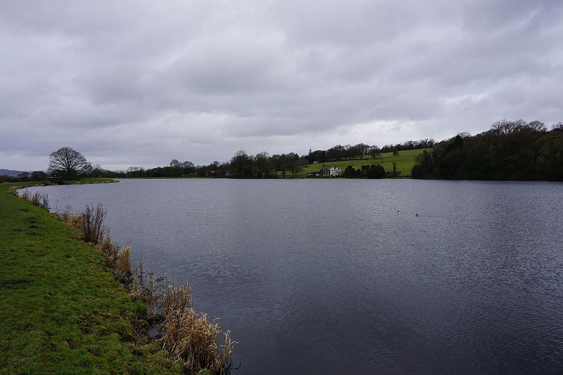
Making my way round Slipper Hill Reservoir..
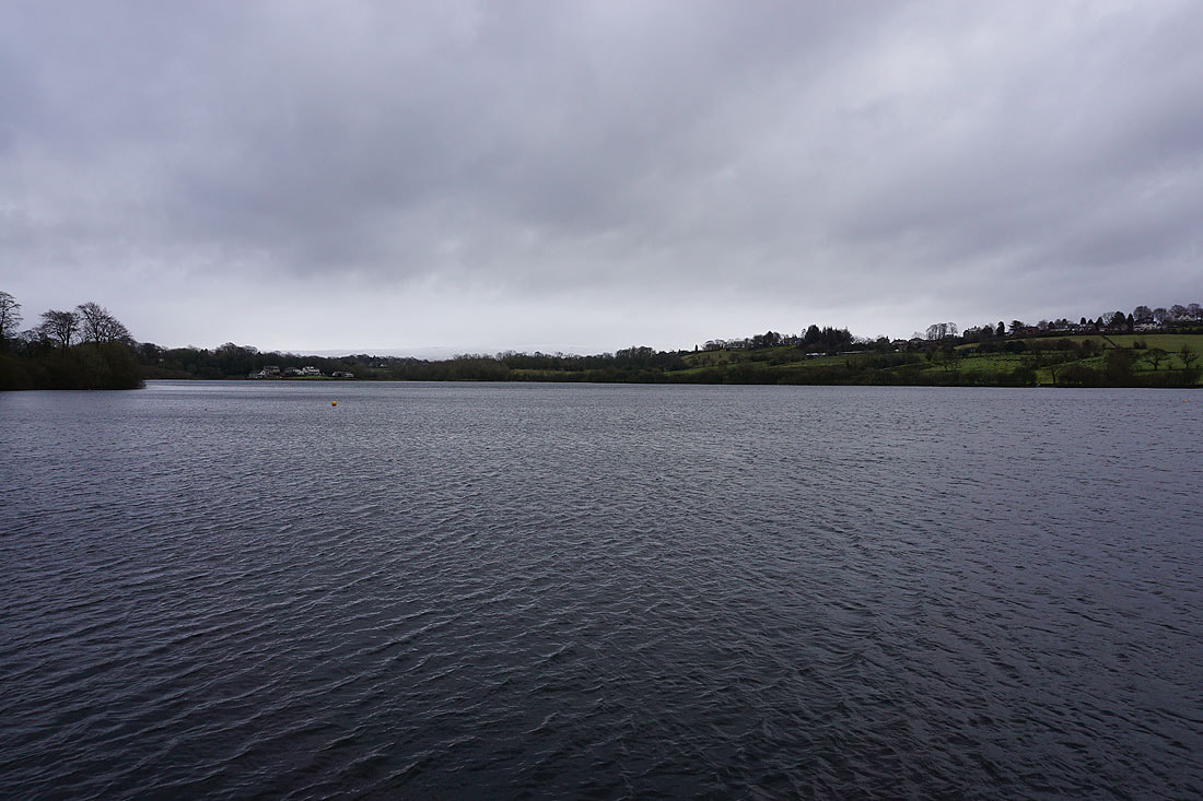
and round Foulridge Lower Reservoir..
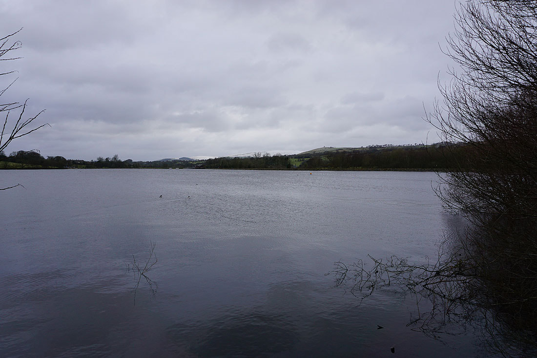
A snow covered Pendle Hill in the distance on the right as I leave Foulridge Lower Reservoir..
..for the roofs of Foulridge and home