7th January 2012 - Thieveley Pike & Black Scout
Walk Details
Distance walked: 6.1 miles
Total ascent: 1511 ft
OS map used: OL21 - South Pennines
Time taken: 4 hrs
Route description: Layby on A646 just southeast of Holme Chapel-Royd Wood-Dean Scout-Thieveley Pike-Heald Moor-Portsmouth-Dean Farm- Black Scout-The Holme-Layby on A646 just southeast of Holme Chapel
I last did this walk in the Cliviger gorge many years ago before I even had a camera so doing it again was long overdue. The stormy weather of the previous few days had relented enough to make doing this walk an option. In the end it wasn't too bad, windy but the sun came out on the second half of the walk and I had some great views across to Thieveley Scout on the other side of the valley.
Route map
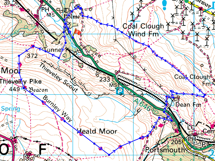
© Crown copyright. All rights reserved. License number PU 100034184.
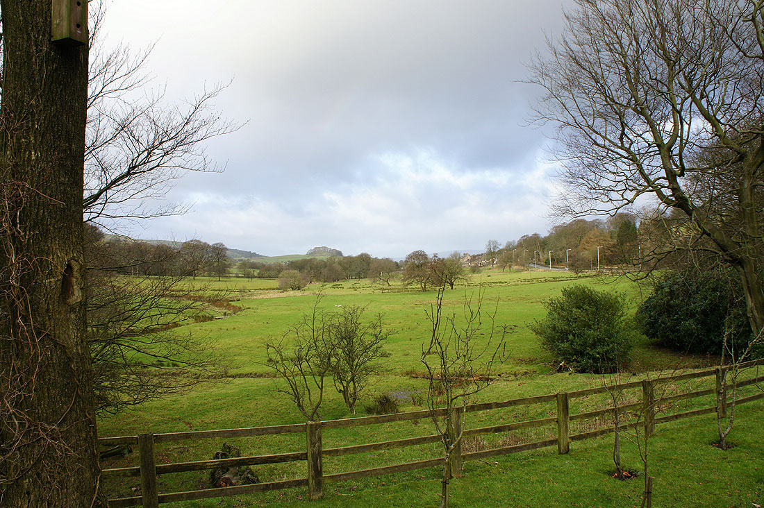
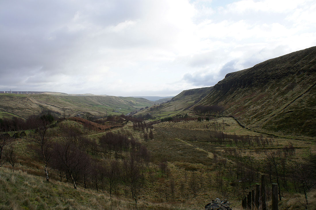
At the start of the walk and looking up the valley towards Burnley
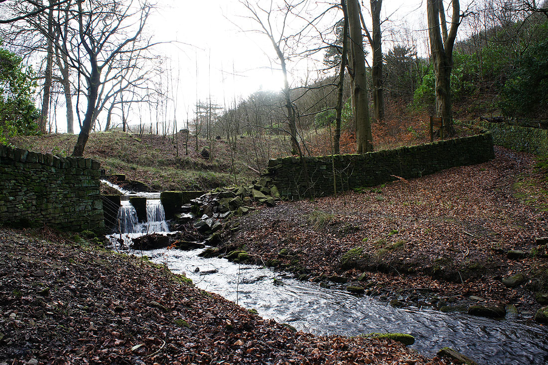
Walking through Royd Wood. The overflow you can see is from the Cliviger fish ponds.
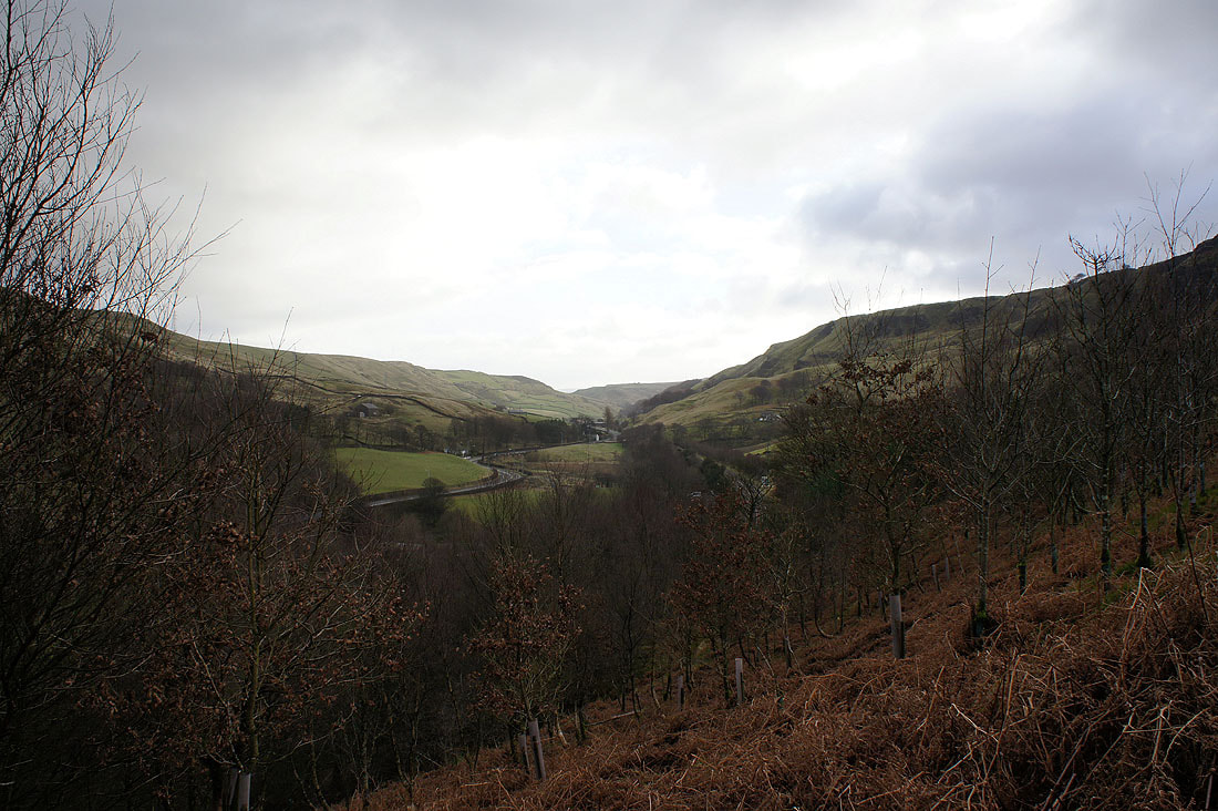
A first view down the valley as I leave the wood
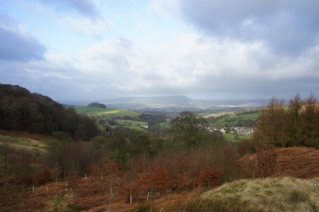
Pendle Hill behind Burnley
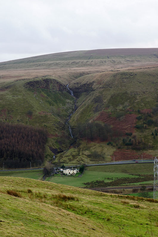
A couple of shots of Thieveley Scout..
Heading for Dean Scout
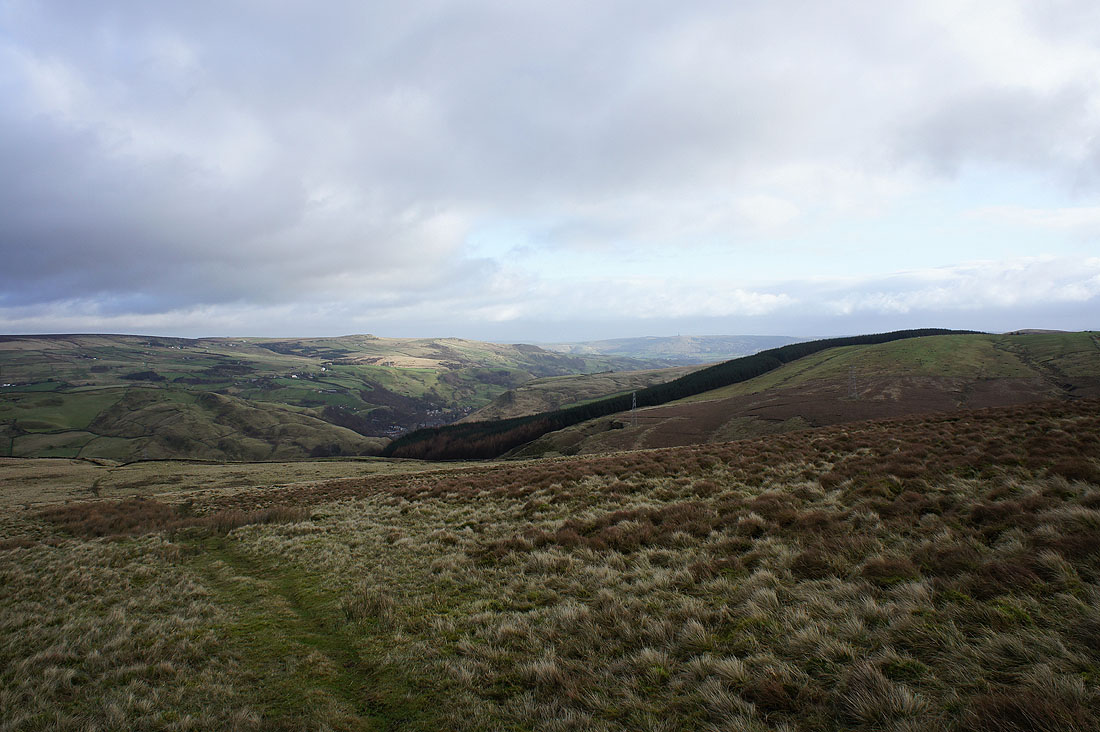
Cliviger from Dean Scout
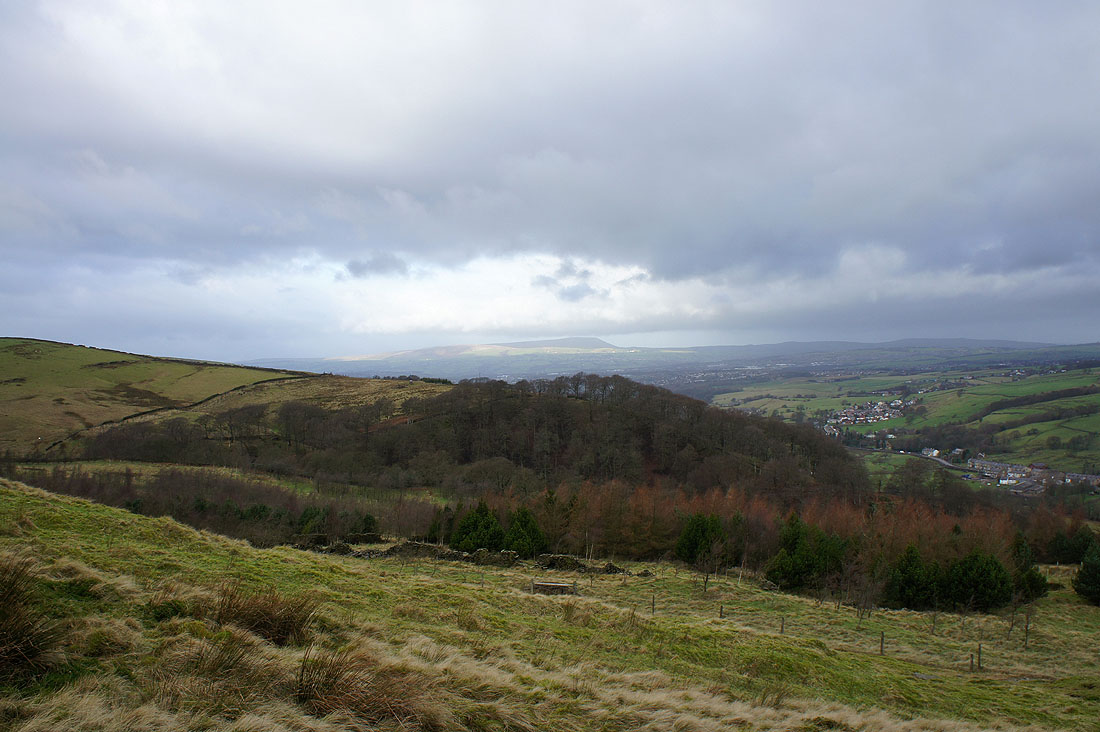
Pendle Hill from Dean Scout
Making my way up to Thieveley Pike and I take a look back at Boulsworth Hill and Hoof Stones Height in the distance
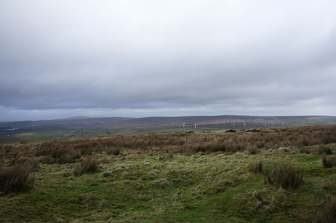
On Thieveley Pike and the view down into the Rossendale valley
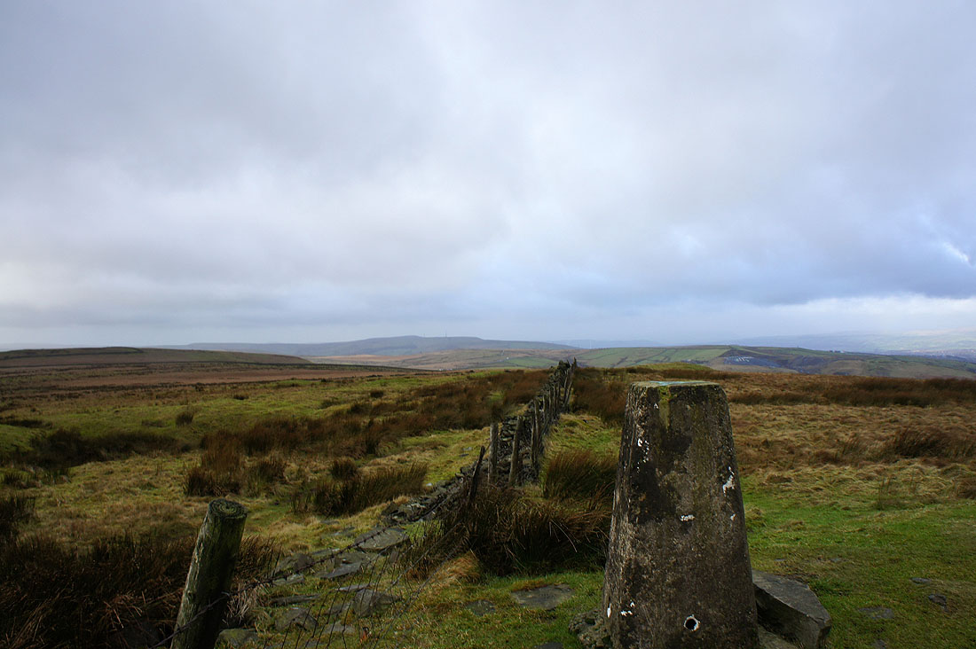
Boulsworth Hill and Hoof Stones Height from Thieveley Pike
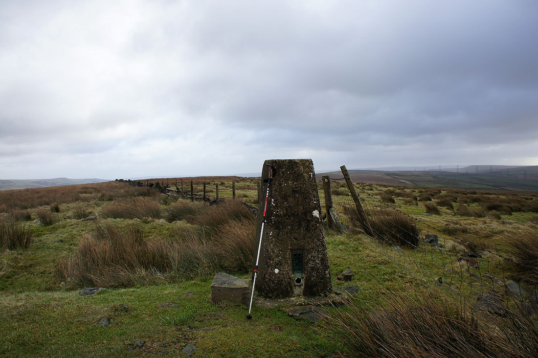
Thieveley Pike
Hameldon Hill in the distance
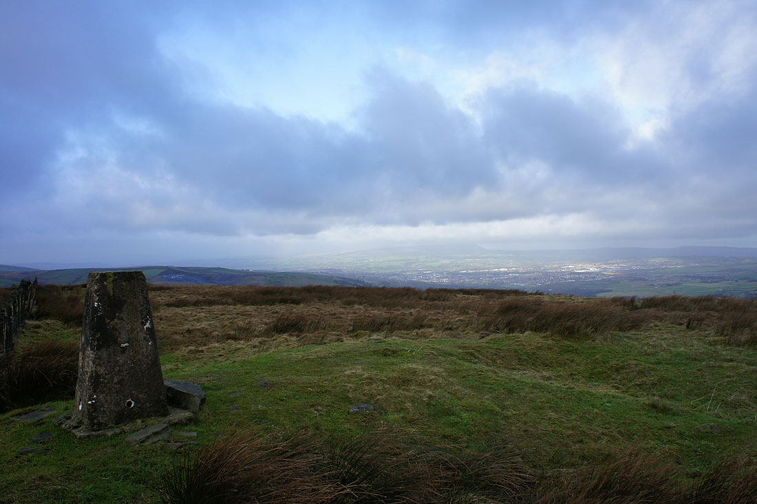
Pendle Hill from Thieveley Pike
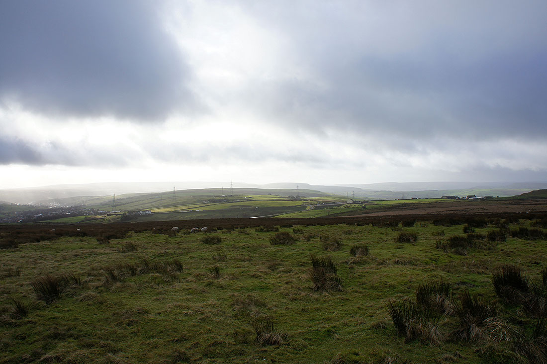
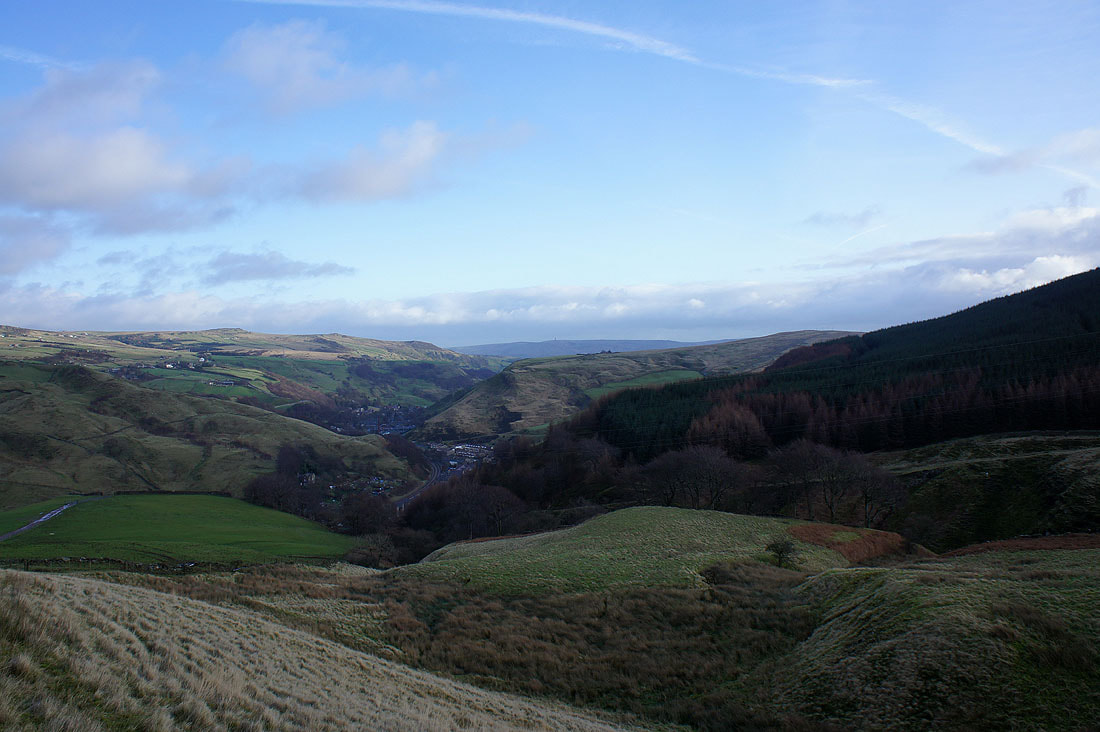
Sunshine in Rossendale as I set off for Heald Moor
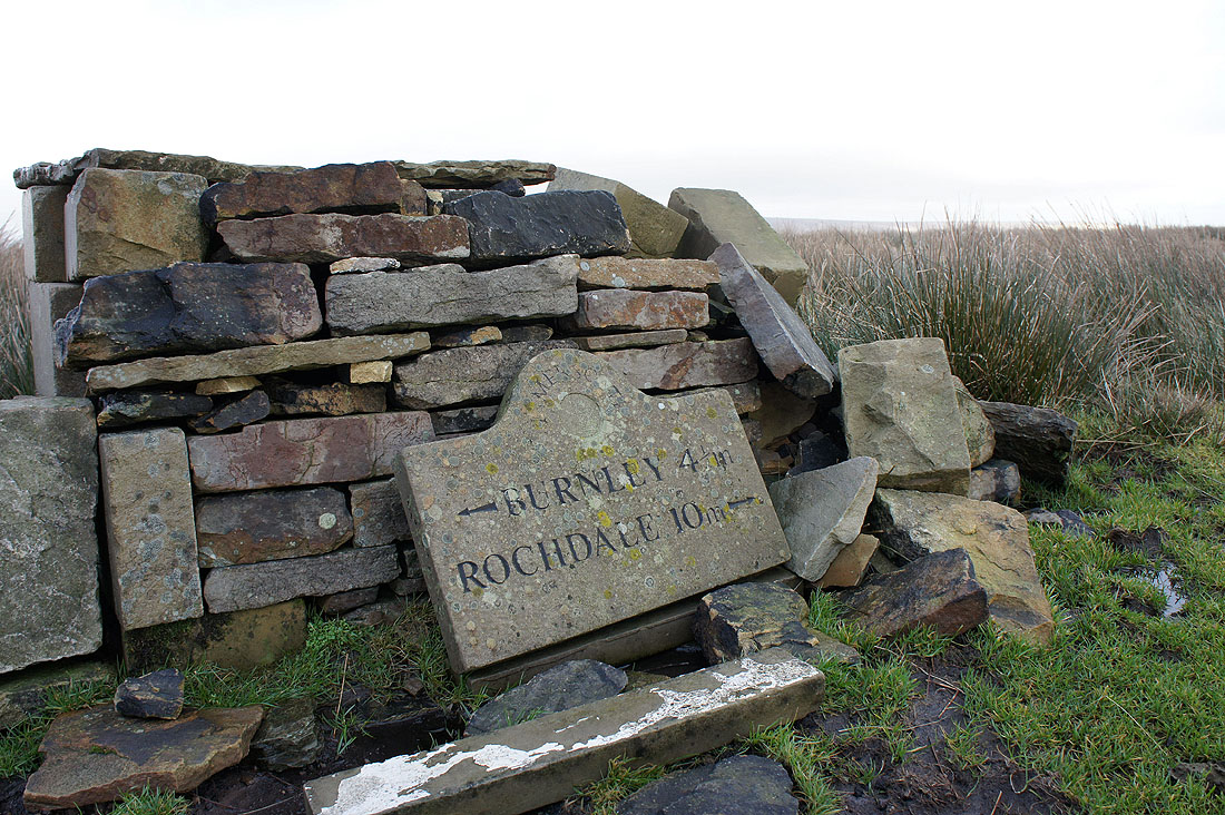
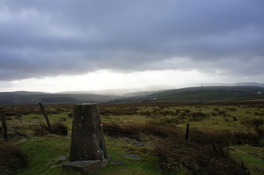
The Limersgate plaque has seen better days
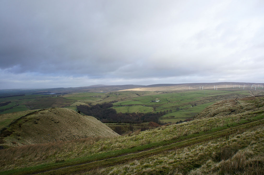
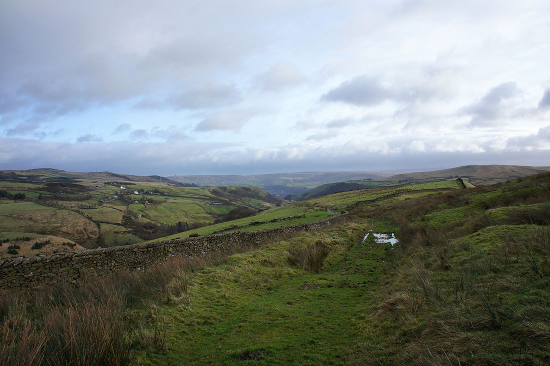
Rossendale from Heald Moor
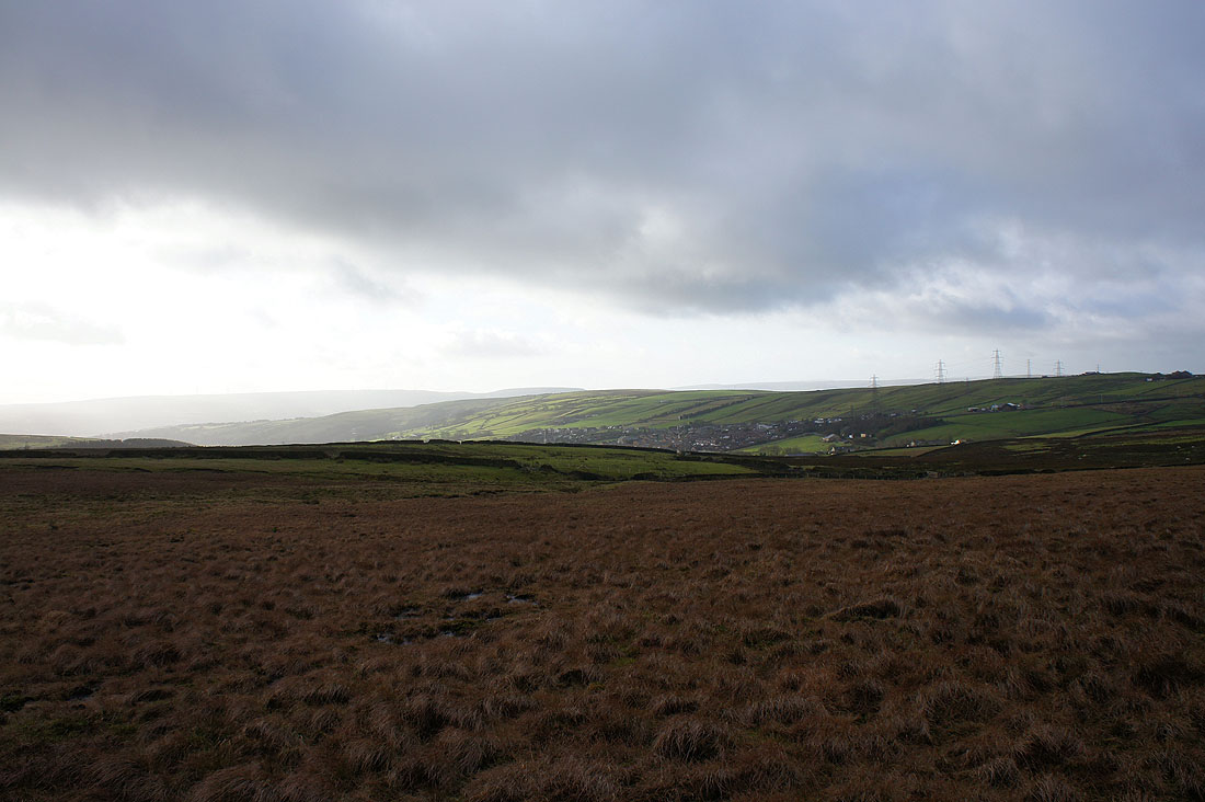
Looking back to Thieveley Pike from Heald Moor
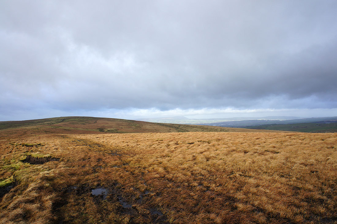
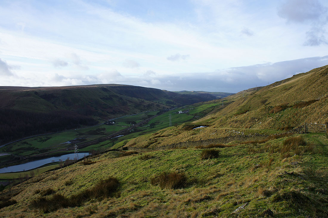
Heading down into the valley
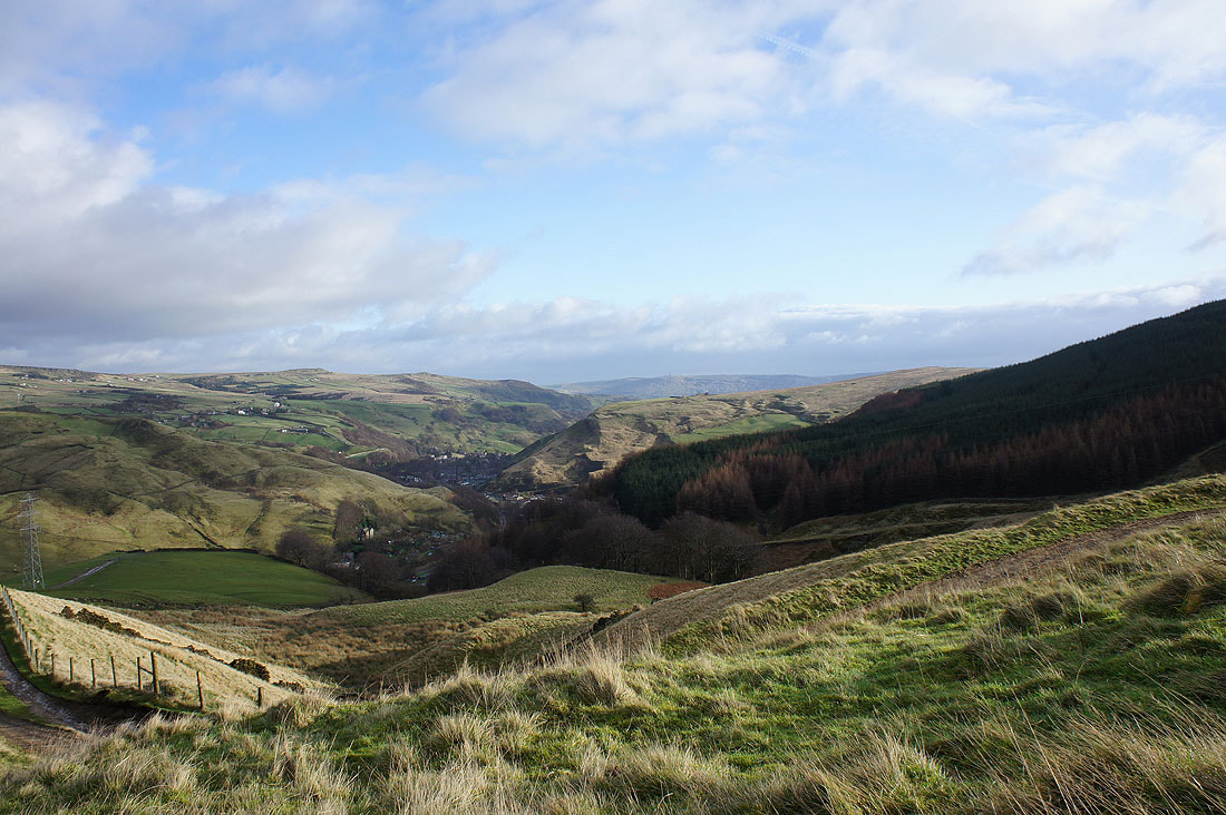
The village of Portsmouth below
The hill sloping down from the left is Whitaker Naze
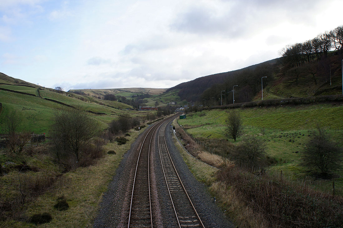
Crossing the railway line to the other side of the valley
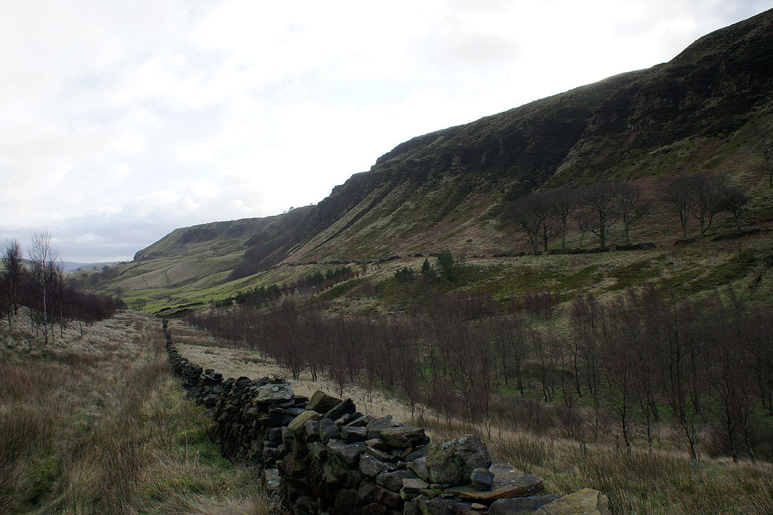
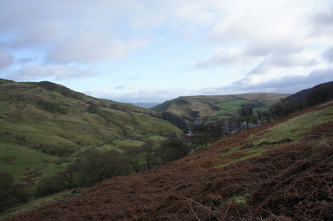
A view of Thieveley Scout from the climb up to Black Scout
A view down into Calderdale towards Todmorden
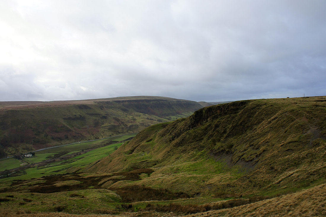
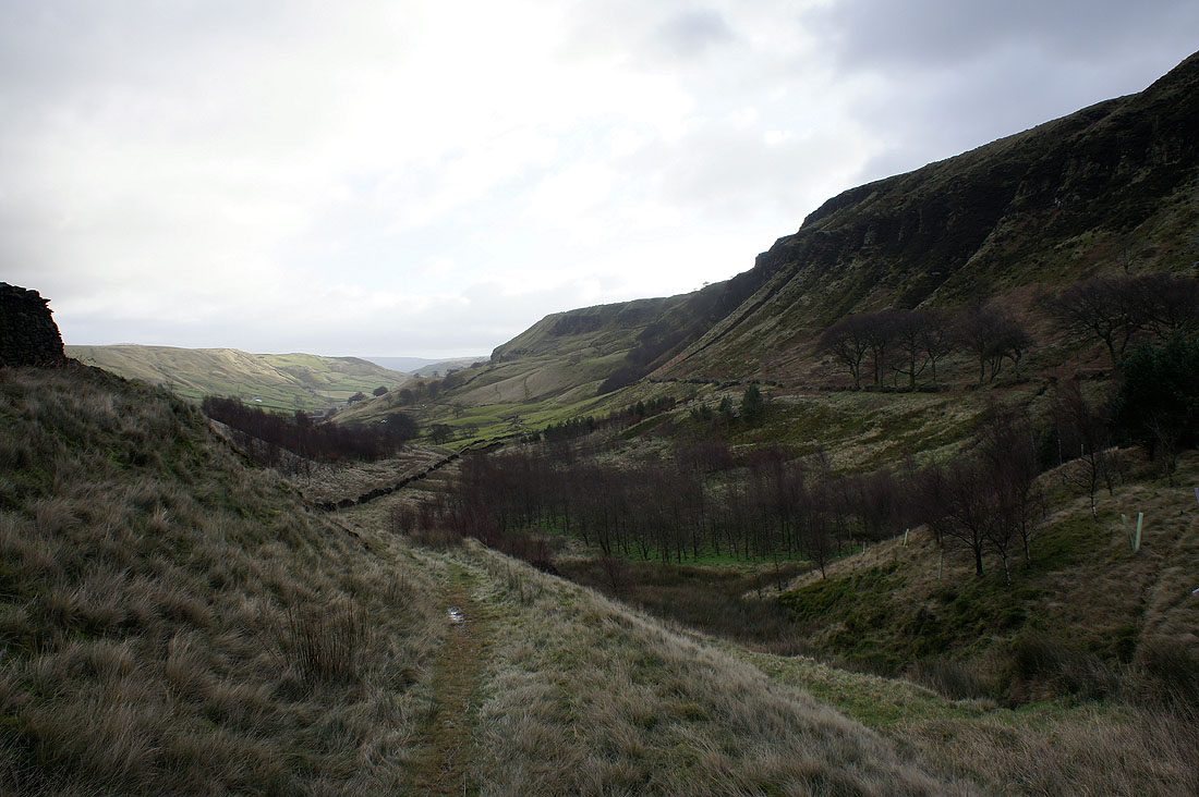
Thieveley Scout from Black Scout
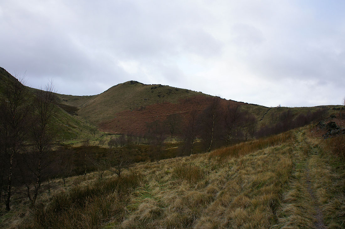
Ratten Clough
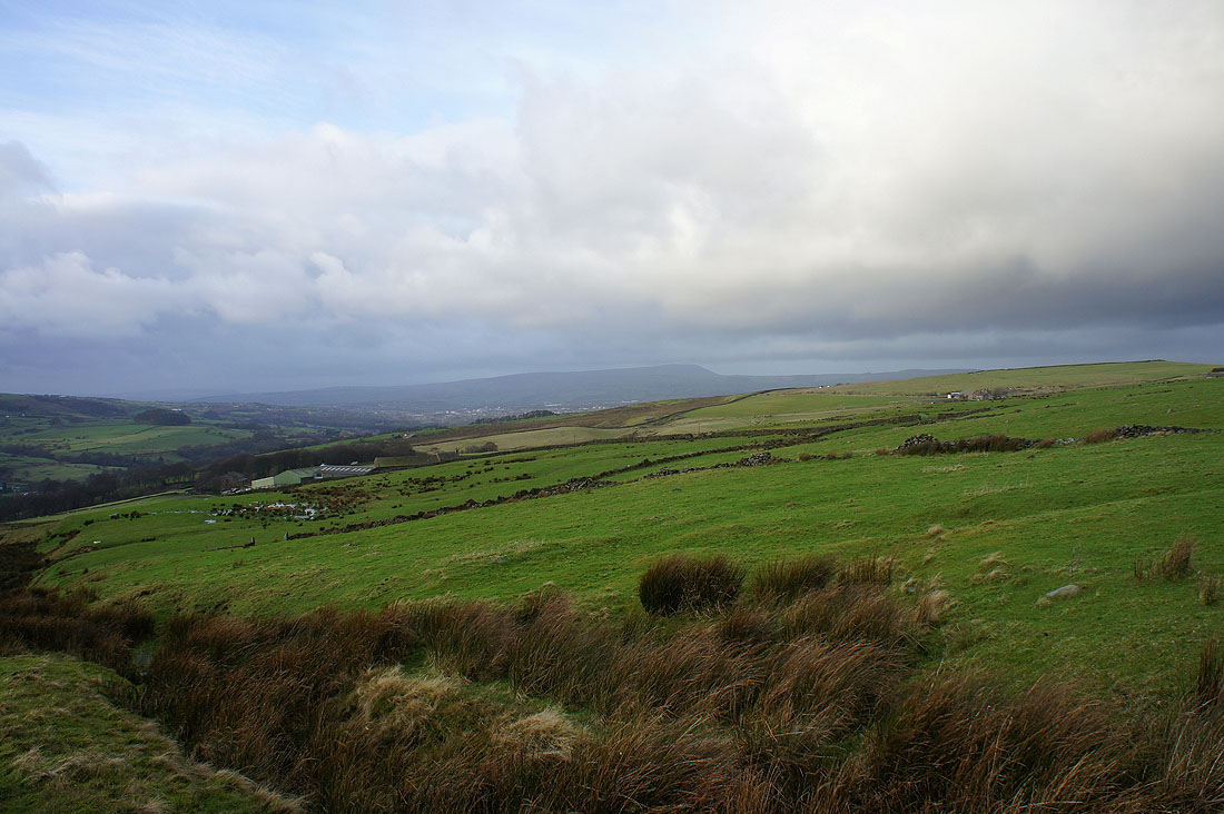
The last shot of the day of Pendle Hill as I head back down to the road