7th January 2018 - Helvellyn
Walk Details
Distance walked: 7.3 miles
Total ascent: 3347 ft
OS map used: OL5 - The English Lakes, Northeastern area
Time taken: 6 hrs
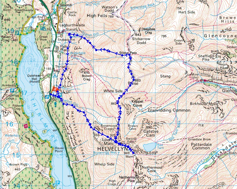
Route description: Swirls car park-Browncove Crags-Helvellyn-Helvellyn Lower Man-Whiteside-Raise-Sticks Pass-Stanah-Swirls car park
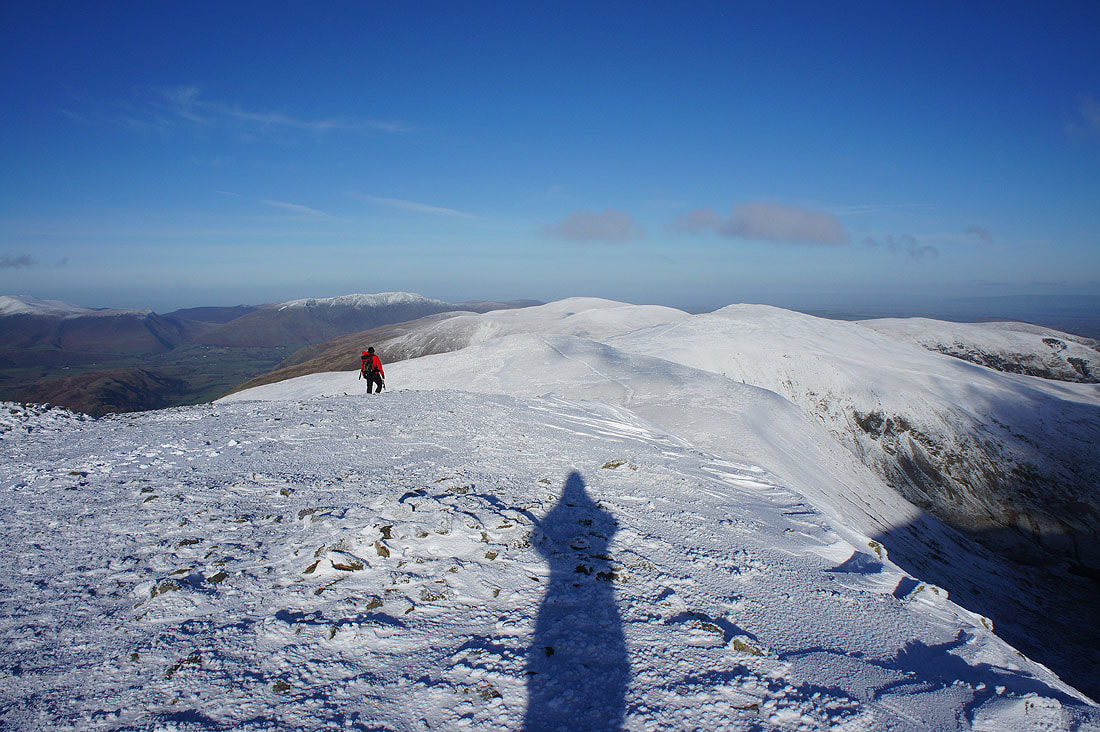
What a fantastic walk to start the year with. I said that about the first walk that I did last year as well but this one was even better. Wanting to keep the snowy theme of my Christmas walks going and with me struggling to think of somewhere to go closer to home that I'd not been to recently I decided to head for the Lake District. My last time there was the six day holiday I had during May last year. Far too long ago. If I want to complete my second round of Wainwrights in a reasonable time I'll need to visit a little more often. The snow and ice on the upper reaches of the fells limited my choice of summits and routes a little and in the end I plumped for Helvellyn from Swirls, next to Thirlmere. My last time on Helvellyn was March 2012, so out of the Wainwrights I was on today that counted towards the second round and took the total to 112. I don't know how I managed to go nearly six years between visits. The fells were in full winter condition with snow covering the top third of them in the Helvellyn range. A bitterly cold and strong northeasterly wind high up certainly made its presence felt but there was lots of sunshine and great visibility as compensation.
From the United Utilities car park at Swirls I left the back of the car park and took the footpath signposted for Helvellyn. I followed this uphill to Browncove Crags and then on, bypassing Helvellyn Lower Man, to reach the summit of Helvellyn. I managed to find a spot in the cross shelter out of the wind to have my lunch. From Helvellyn I then followed the ridge north to Helvellyn Lower Man, Whiteside and finally Raise. After another break here I made my way down to Sticks Pass, where I turned left and took the bridleway west, downhill to Stanah. When I reached the intake wall above Stanah I left the bridleway for a footpath that makes its way south along the fellside and back to the car park at Swirls.
Route map
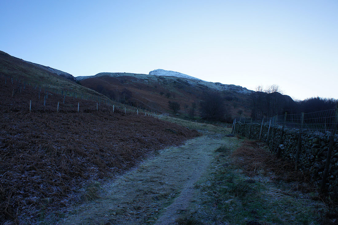
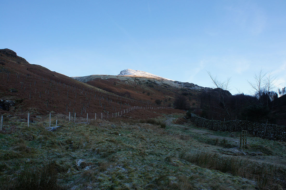
It's cold and frosty in the shadows as I set off from Swirls for Browncove Crags
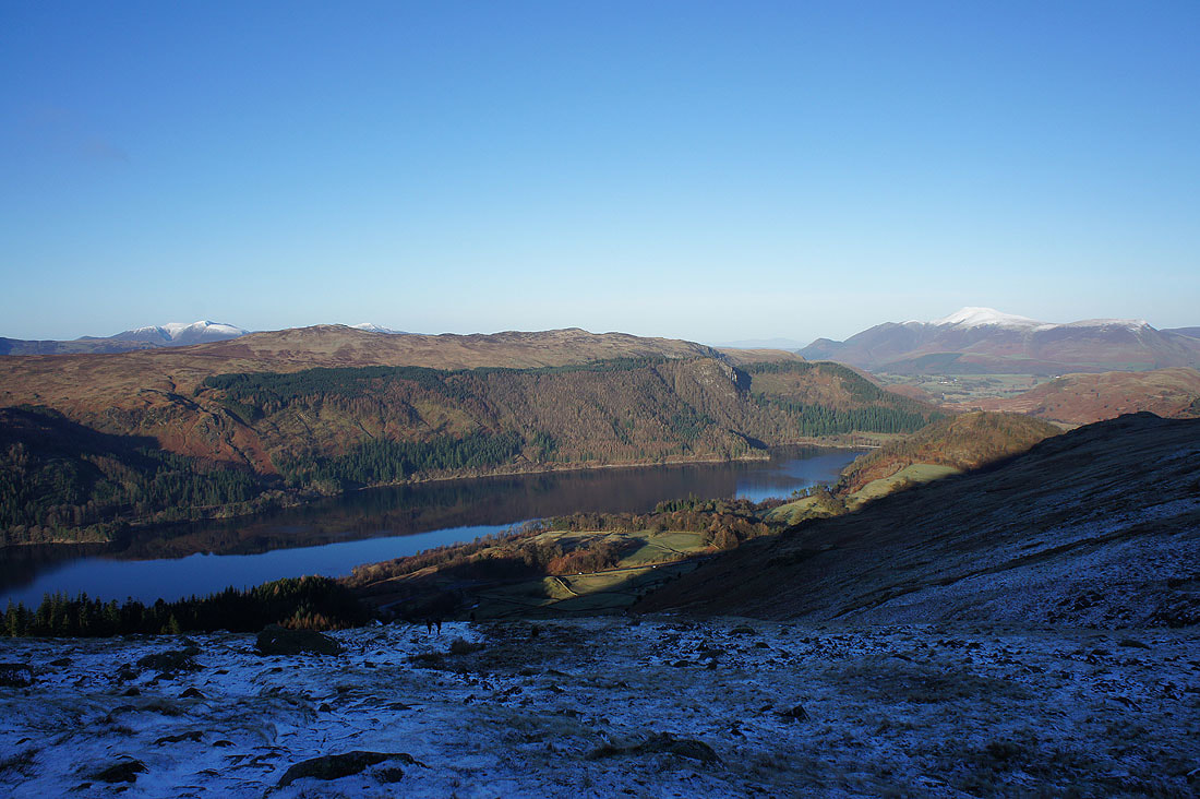
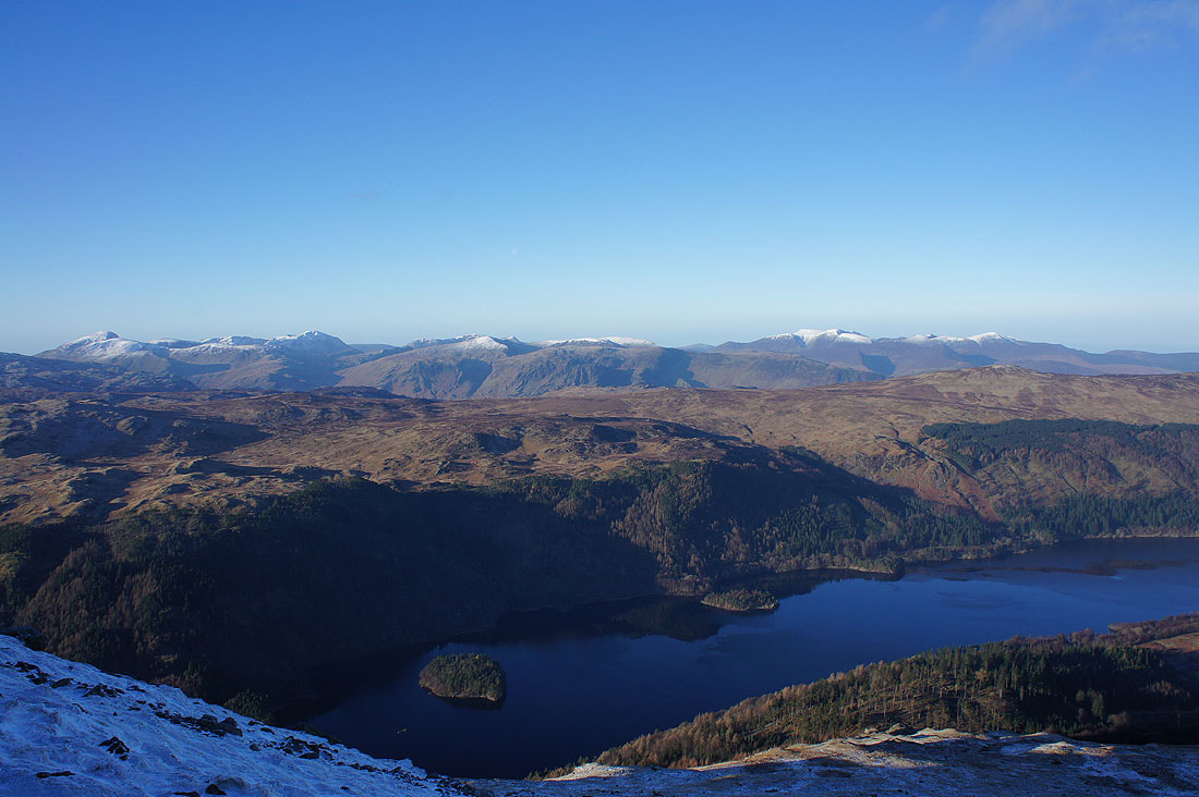
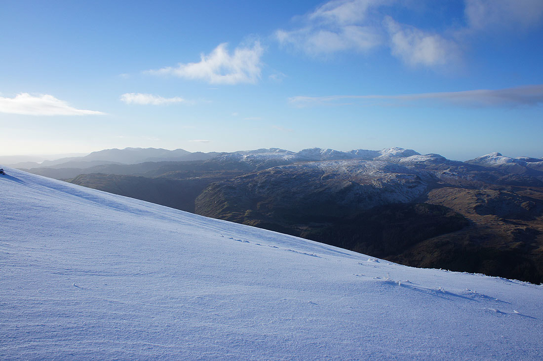
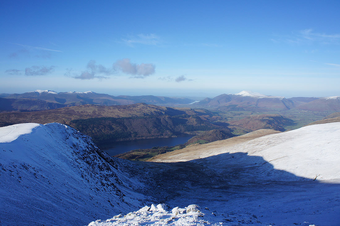
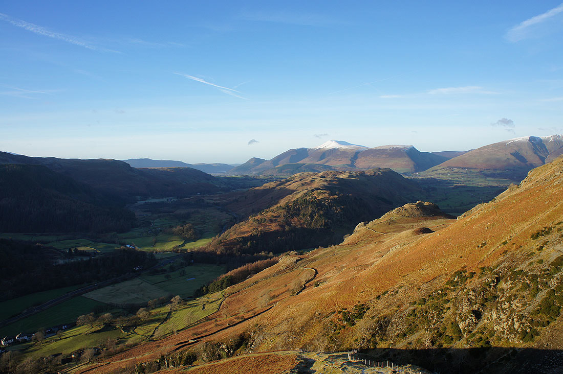
As I gain height the view opens out across Thirlmere to High Seat and Bleaberry Fell
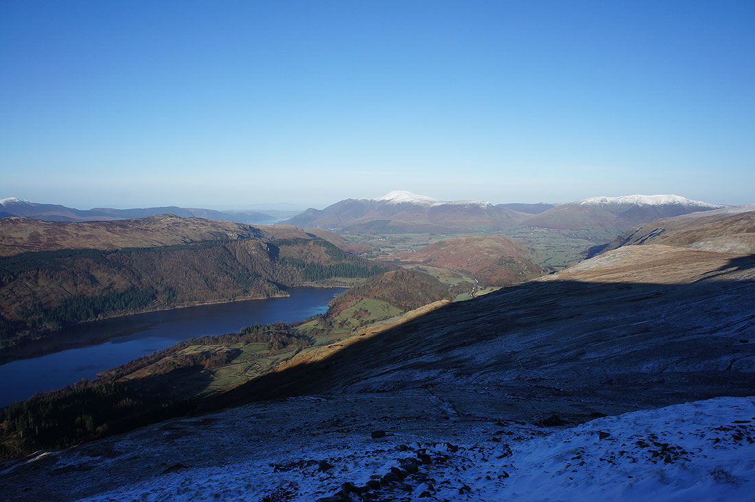
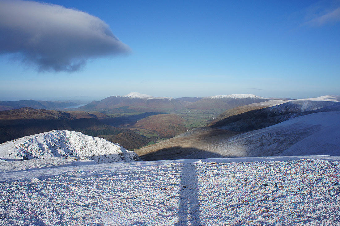
and north to Skiddaw and Blencathra
Even higher and I can see across the central ridge to Great Gable, Pillar and the northwestern fells
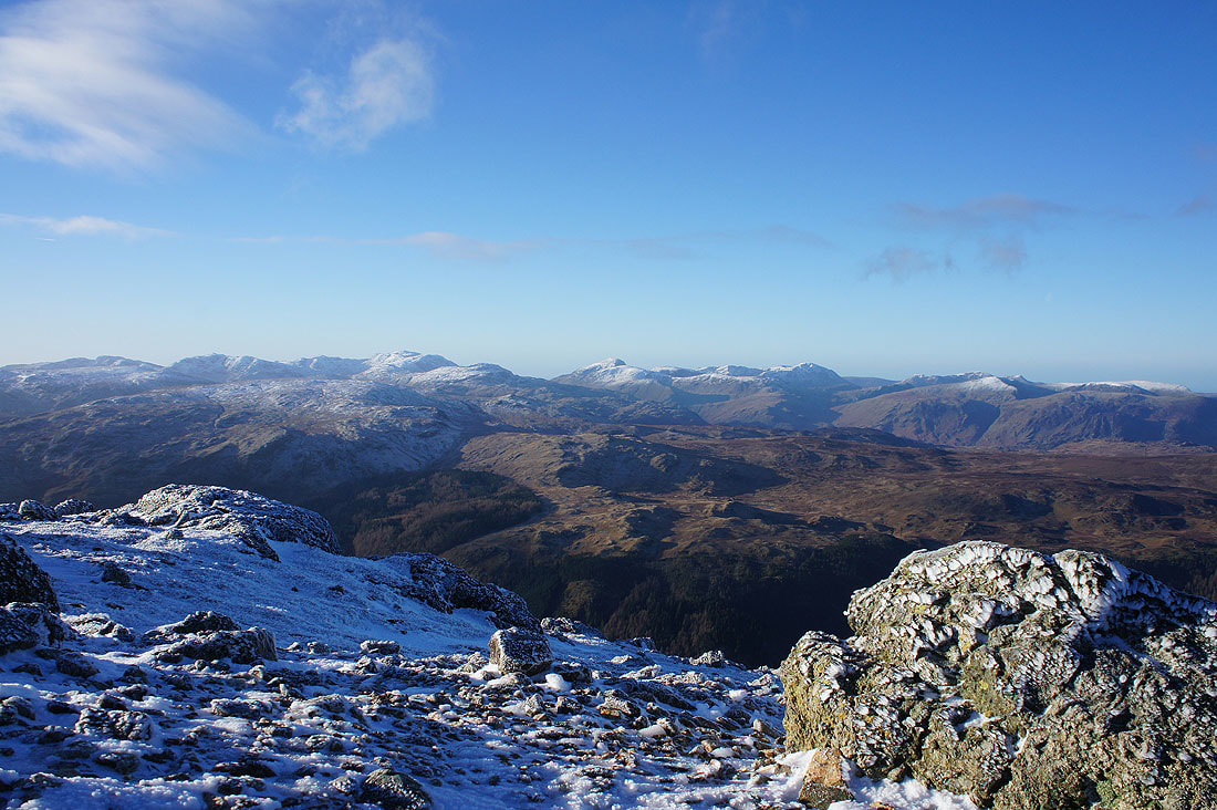
Higher still and I can now see Crinkle Crags, Bowfell and Scafell Pike as well as Great Gable and Pillar
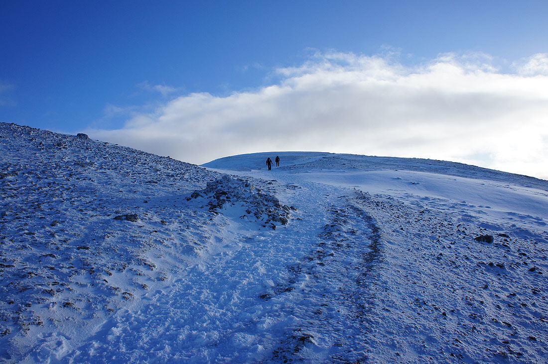
I've put my spikes on now to give me a sure footing on the snow and ice
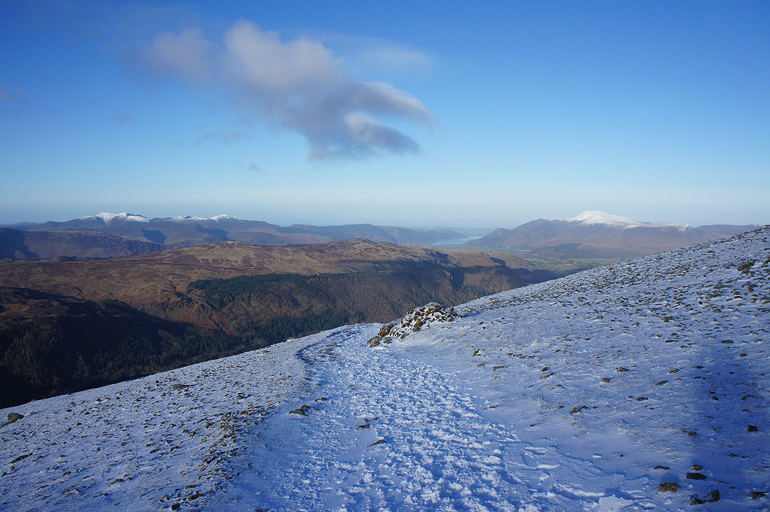
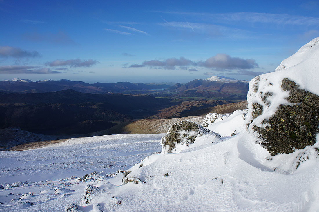
Looking back to Grasmoor and Grisedale Pike on the left beyond High Seat and Bleaberry Fell, Bassenthwaite Lake and Skiddaw
A deep drift provides a foreground
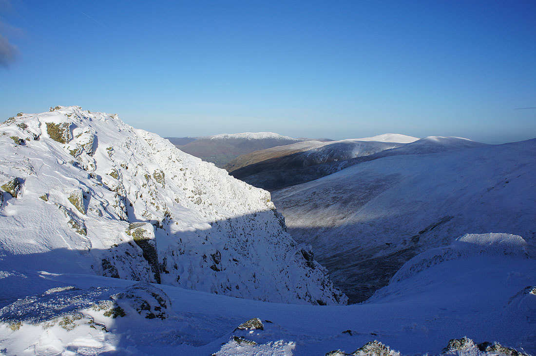
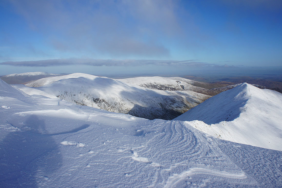
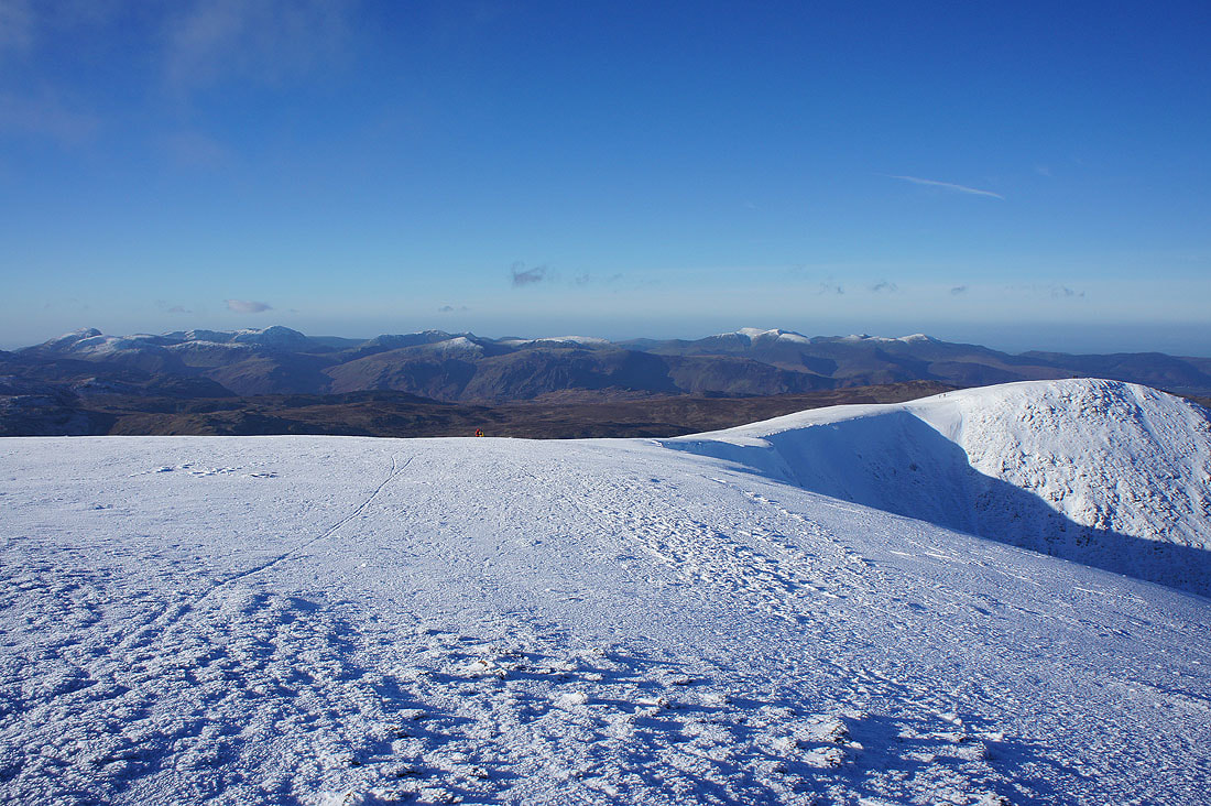
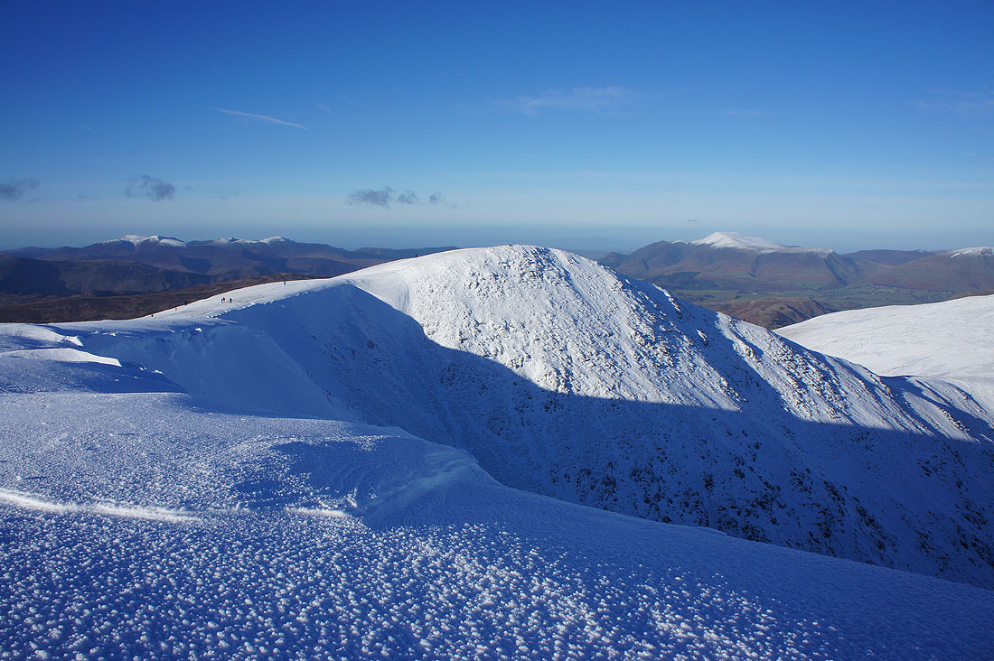
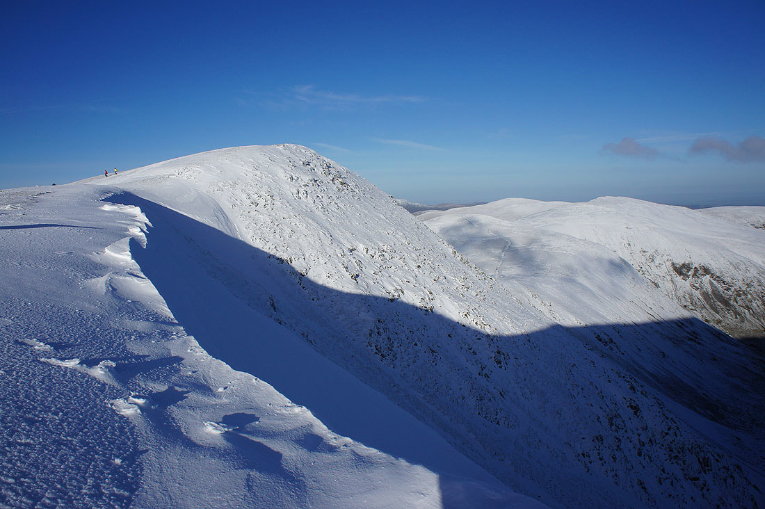
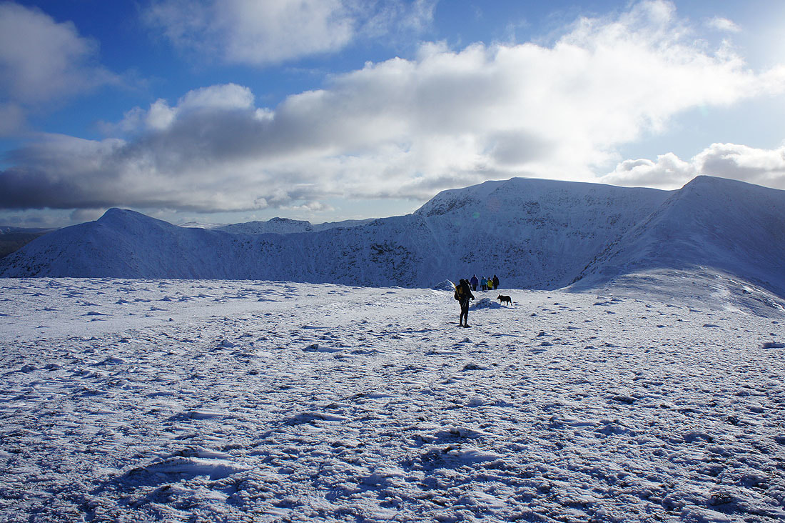
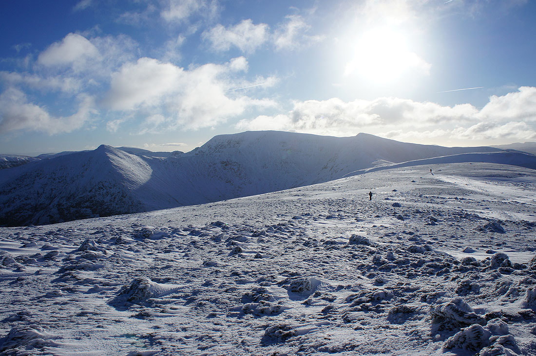
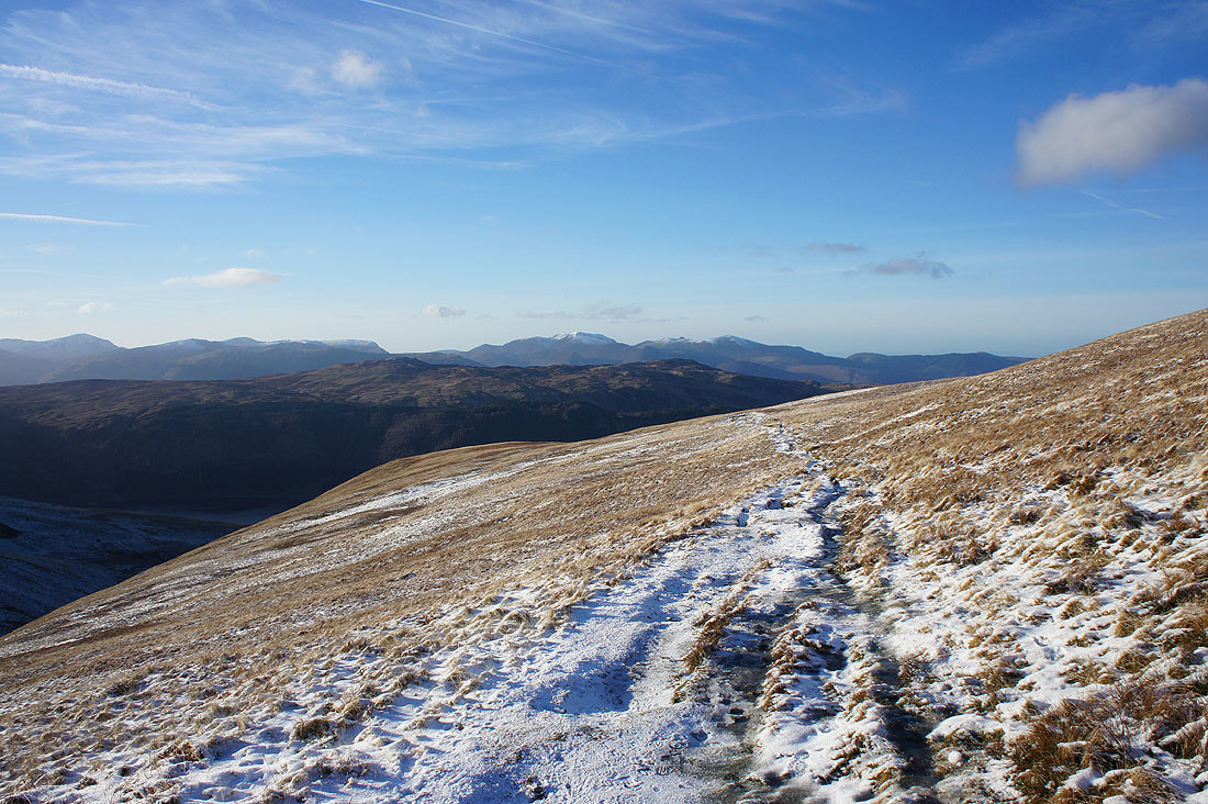
On Browncove Crags. The ridge to Whiteside from Helvellyn Lower Man, which I'll be walking along later.
Blencathra and the Dodds
Skiddaw, Blencathra, St. John's in the Vale and High Rigg
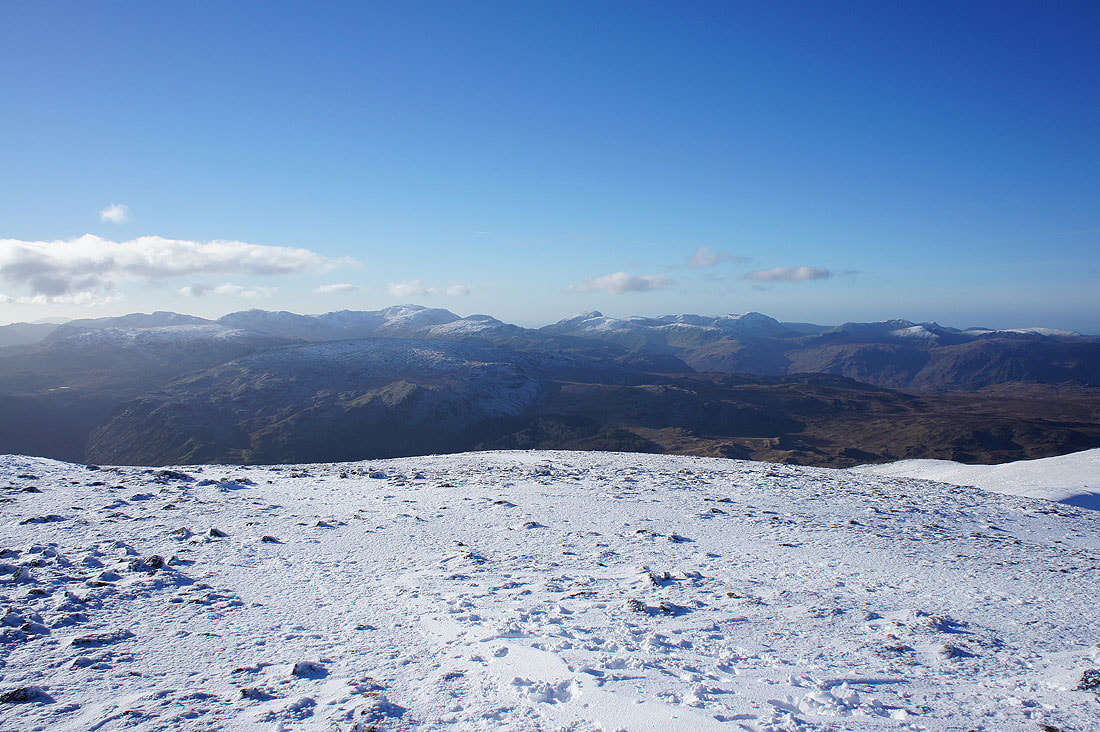
The Coniston fells, Crinkle Crags, Bowfell and Scafell Pike from the cairn on Browncove Crags
Scafell Pike, Great Gable, Pillar, the High Stile ridge and Grasmoor
Time to head for Helvellyn Lower Man
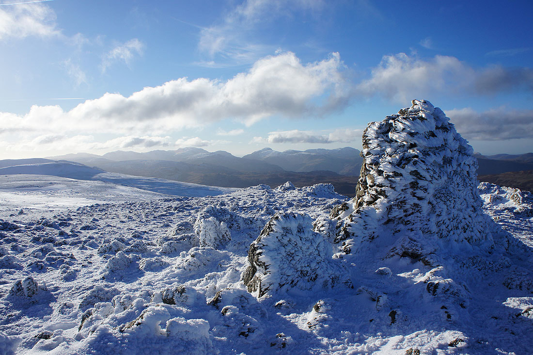
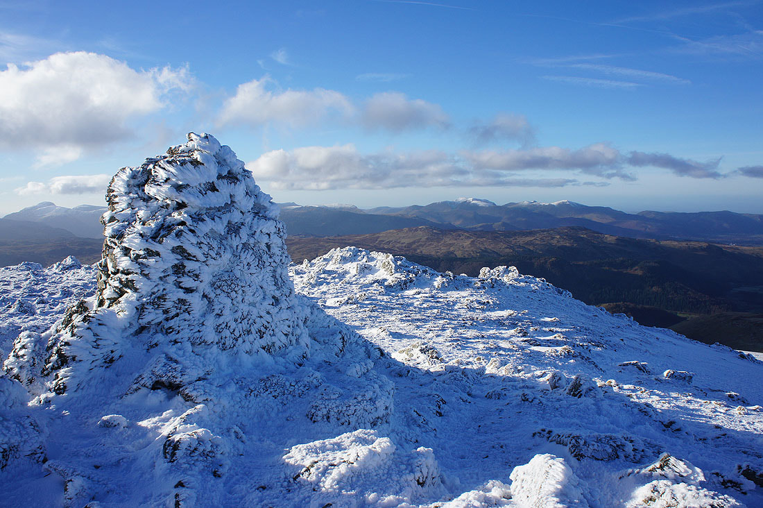
Rocks plastered in rime ice provide a great foreground
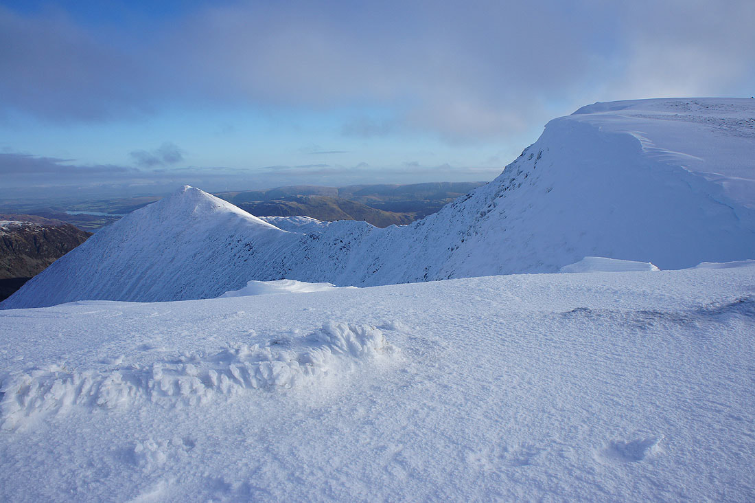
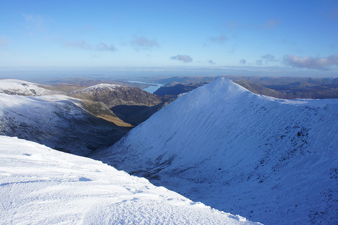
The path I'm on bypasses the top of Helvellyn Lower Man and heads straight for the top of Helvellyn. Catstycam and Swirral Edge.
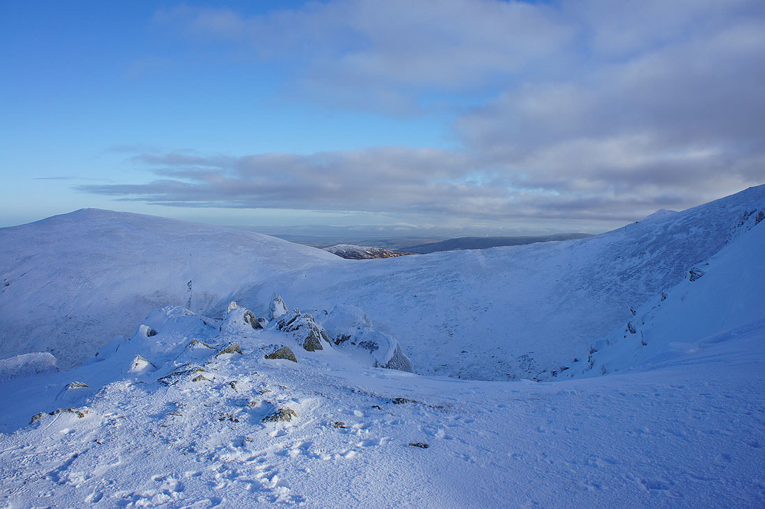
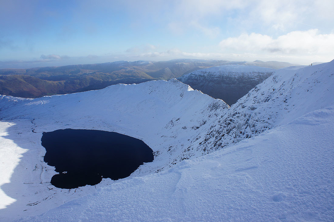
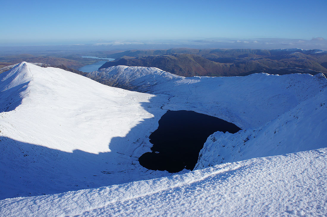
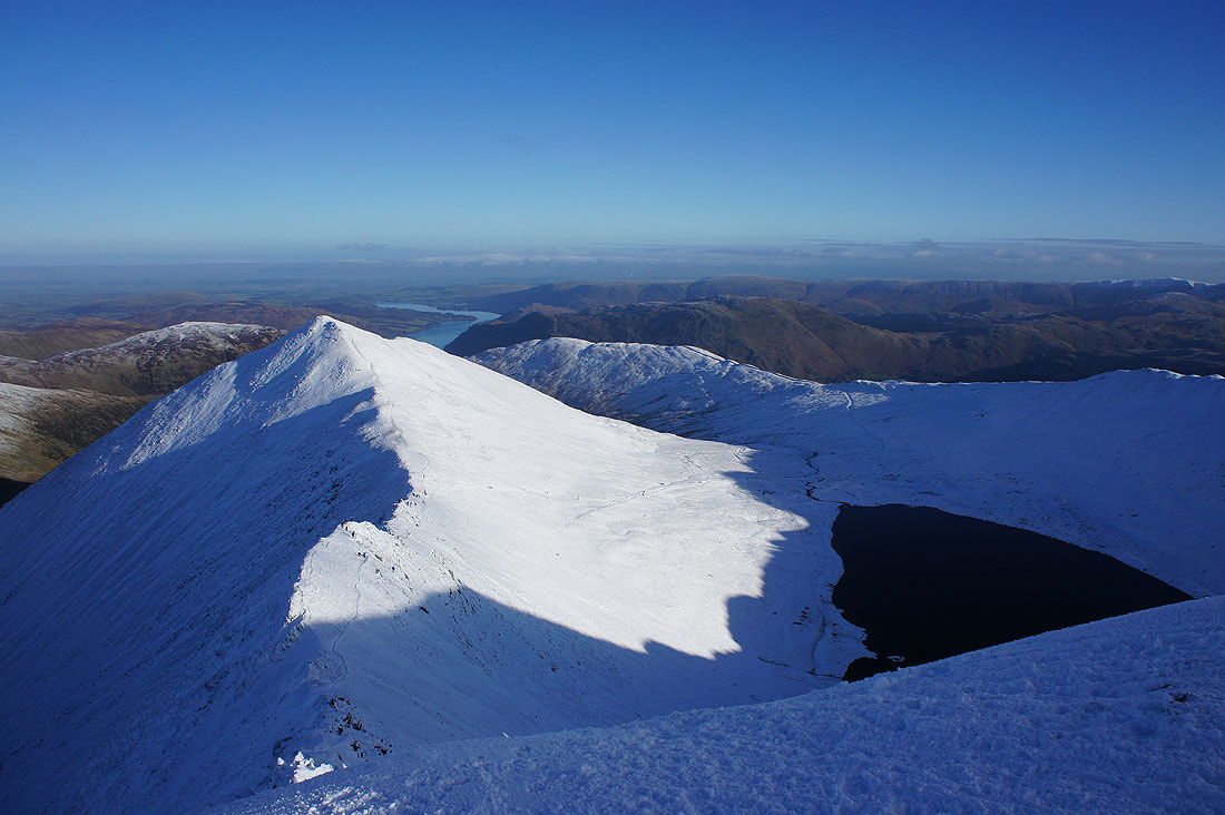
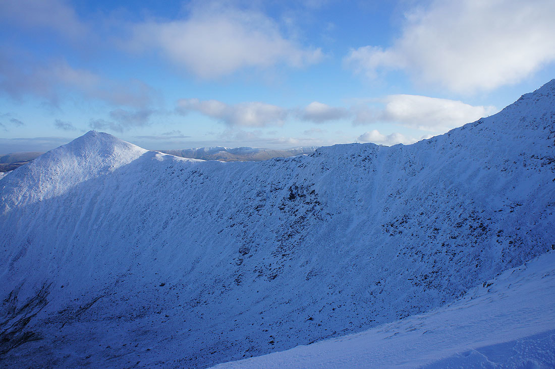
Red Tarn and Striding Edge as I pass the point where Swirral Edge joins the summit
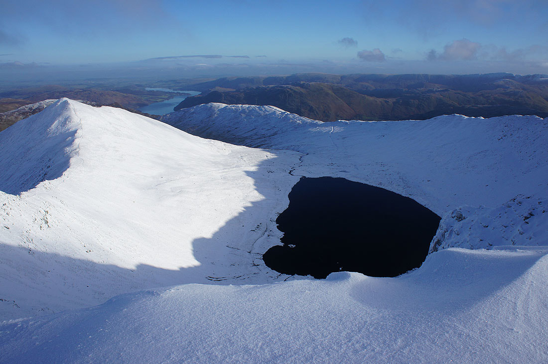
Catstycam, Birkhouse Moor and Red Tarn
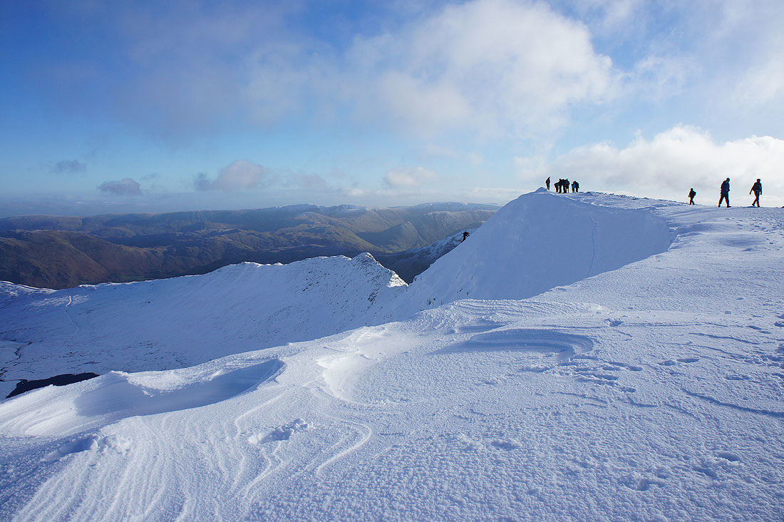
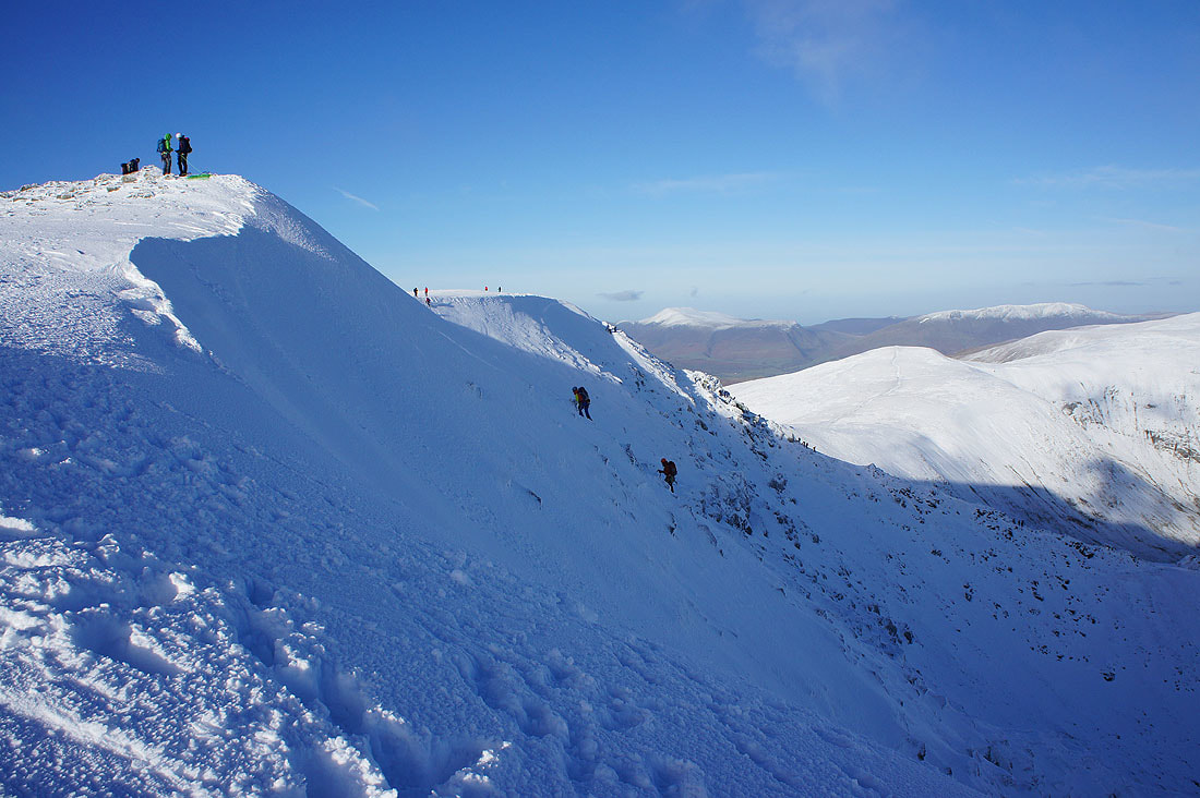
I love the way the wind has sculpted the snow on the cornice on the eastern edge of the summit plateau. I'm being very careful to make sure that what I'm standing on is solid ground.
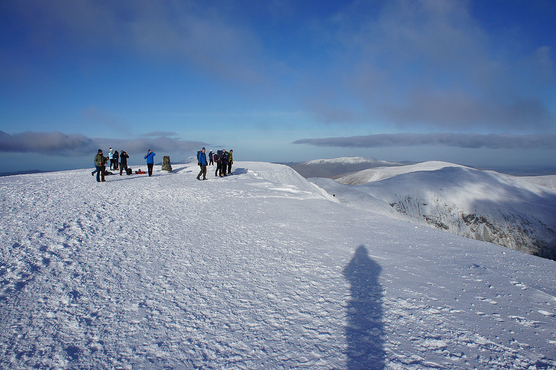
The trig point on Helvellyn. It's quite busy today with not just walkers but also climbers who are tackling the edges or the headwall above Red Tarn.
I managed to find a spot in the cross shelter so that I could get out of the wind and have my lunch. I took this shot from it looking south to Fairfield and Nethermost Pike.
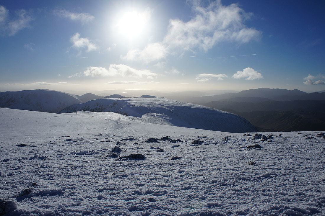
Before I move on and head north, some photos from the summit. High Street, the far eastern fells and St. Sunday Crag.
Climbers tackle the headwall
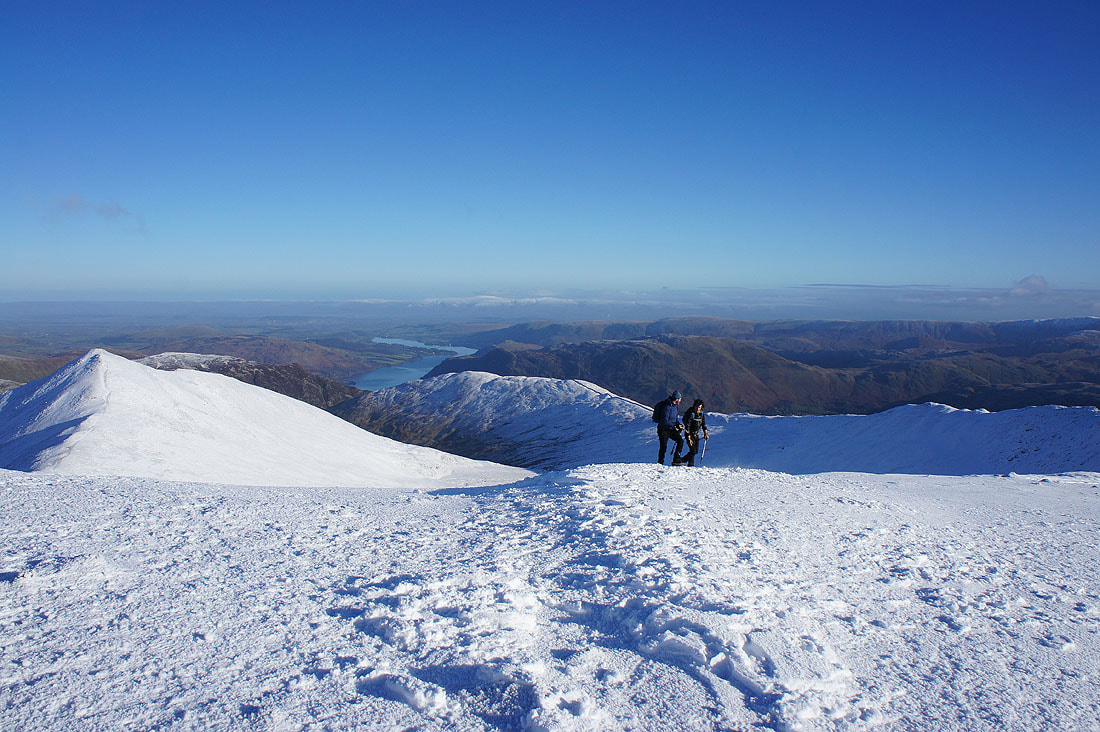
Catstycam, Ullswater, Birkhouse Moor and Place Fell with Cross Fell and the North Pennines in the distance
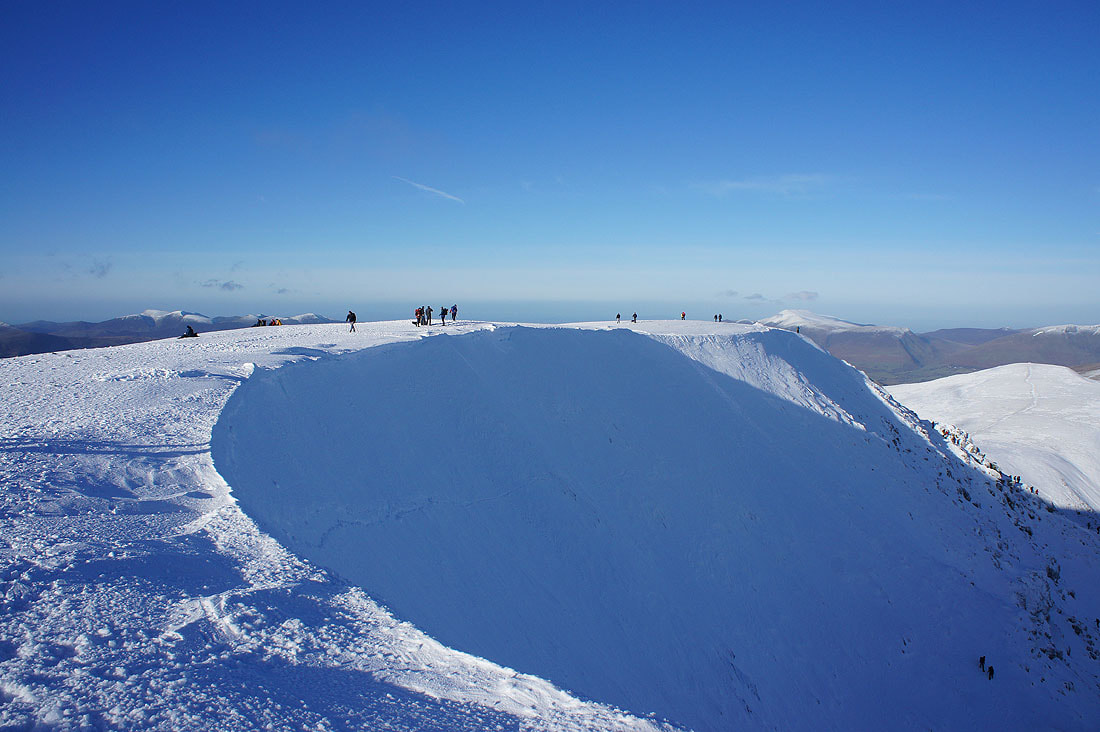
An impressive cornice on the eastern edge of the summit
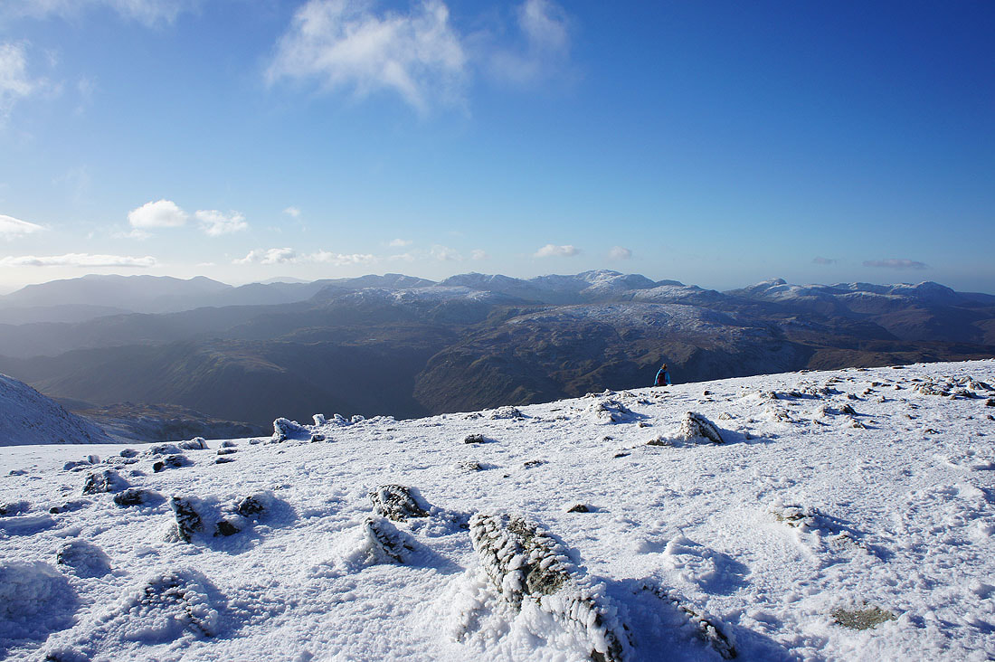
The Coniston fells, Crinkle Crags, Bowfell, Scafell Pike, Great Gable and Pillar
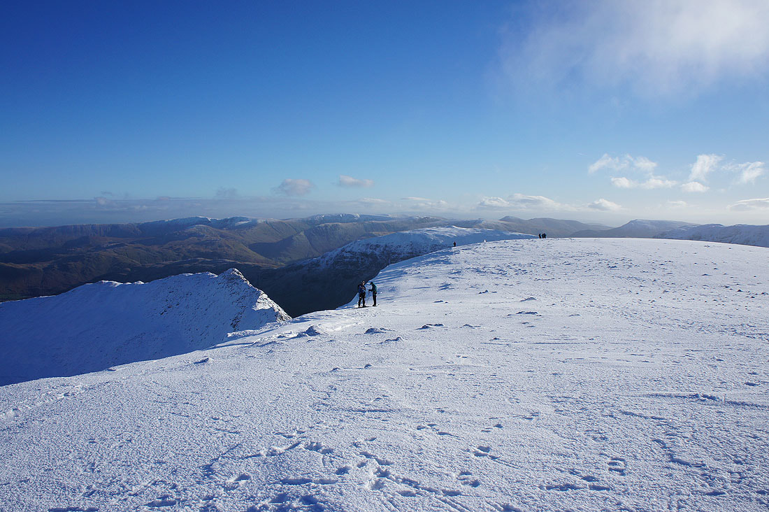
More photos from the eastern edge of the summit as I follow it north towards Lower Man. Catstycam, Birkhouse Moor and Red Tarn.
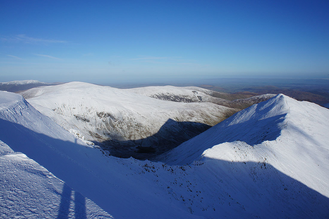
The Dodds and Swirral Edge below heading for Catstycam
I'm right above where Swirral Edge joins the summit
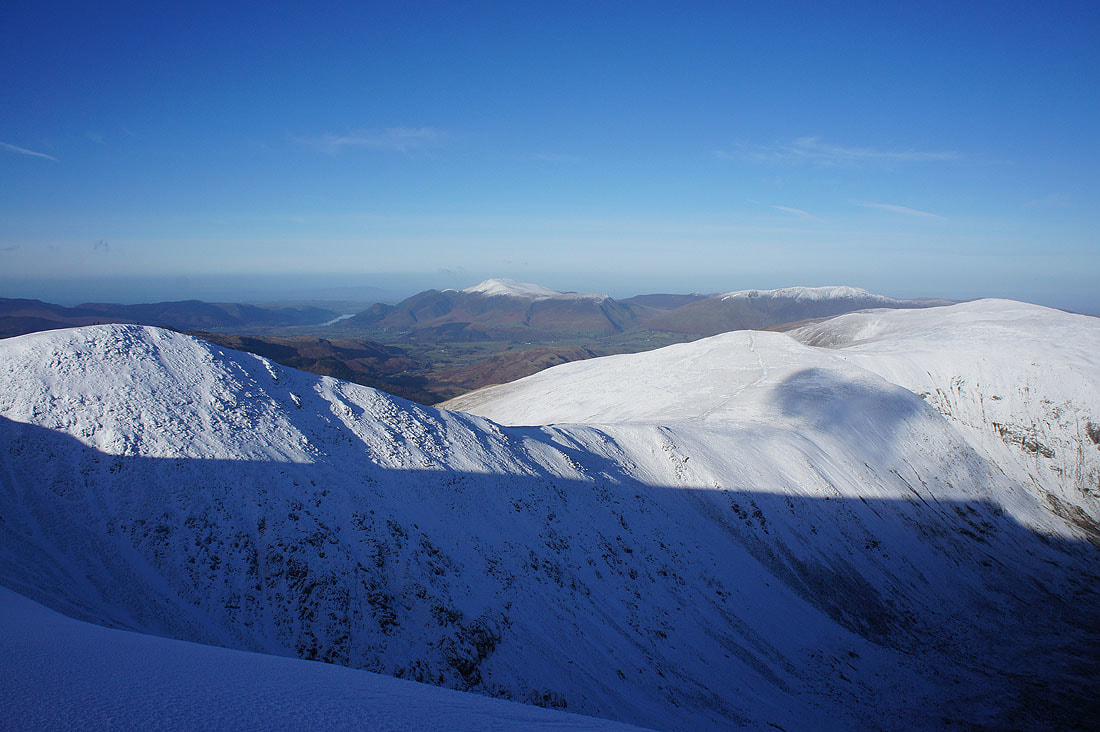
Helvellyn Lower Man, Skiddaw, Blencathra and the Dodds
Great Gable, Pillar, High Stile, Grasmoor and Grisedale Pike in the distance
Great looking cornicing on the edge to Lower Man..
Views from the summit of Helvellyn Lower Man. Grasmoor, Grisedale Pike and Skiddaw in the distance. High Seat, Bleaberry Fell, Thirlmere and High Rigg below.
Looking north along the Dodds to Blencathra
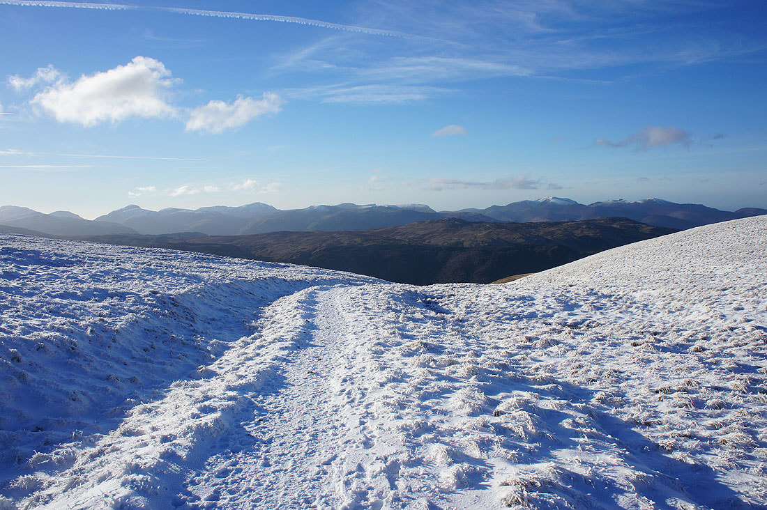
Crinkle Crags, Bowfell, Scafell Pike, Great Gable, Pillar and High Stile to the west
Sheffield Pike and Ullswater with Catstycam on the other side of Brown Cove
Catstycam and Swirral Edge as I head north to Whiteside
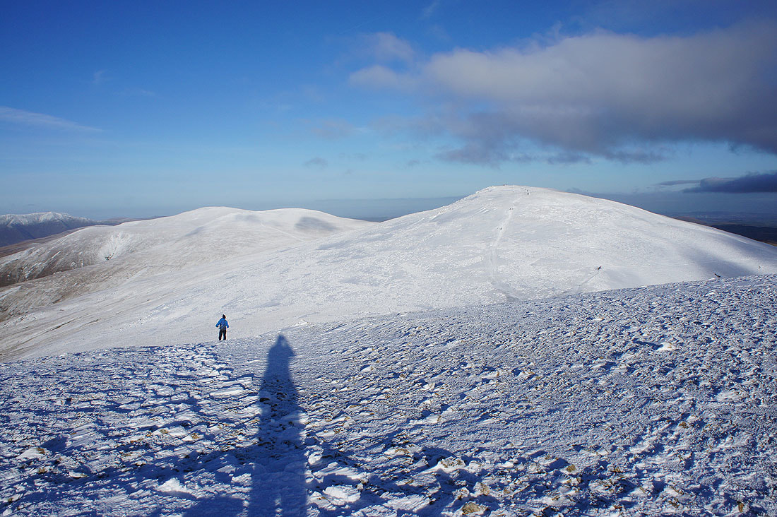
Looking back to Helvellyn from Whiteside
Great Dodd, Stybarrow Dodd and Raise to the north
On Raise and I've found a relatively sheltered spot out of the wind to have a final break of the day. I took this photo of the Vale of Keswick and Skiddaw while I was finishing the tea in my flask.
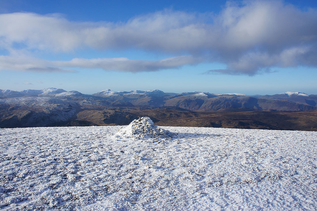
Now for some photos from the summit. Crinkle Crags, Bowfell, Scafell Pike, Great Gable and Pillar to the southwest.
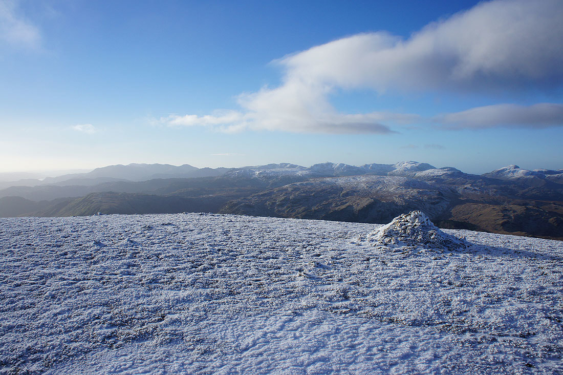
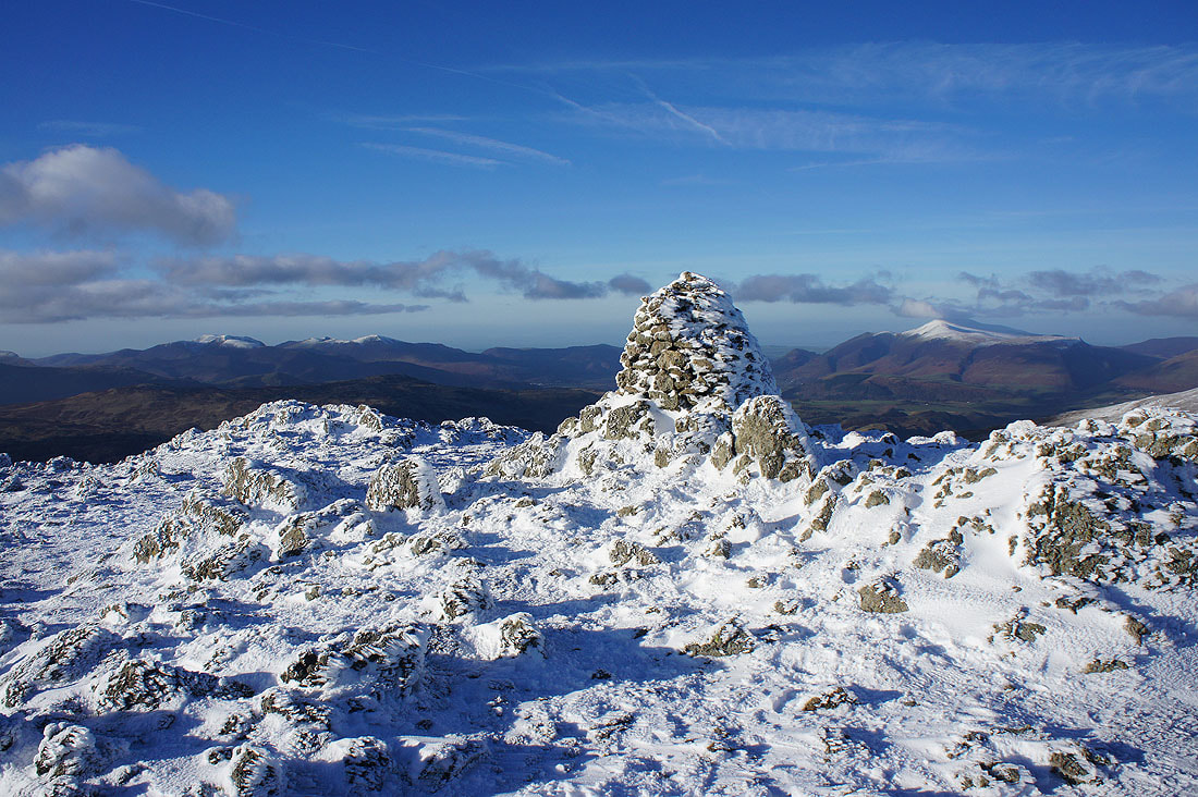
Grasmoor and Grisedale Pike in the distance to the right of the cairn. It's easy to work out which way the wind had been blowing while all that rime ice was deposited.
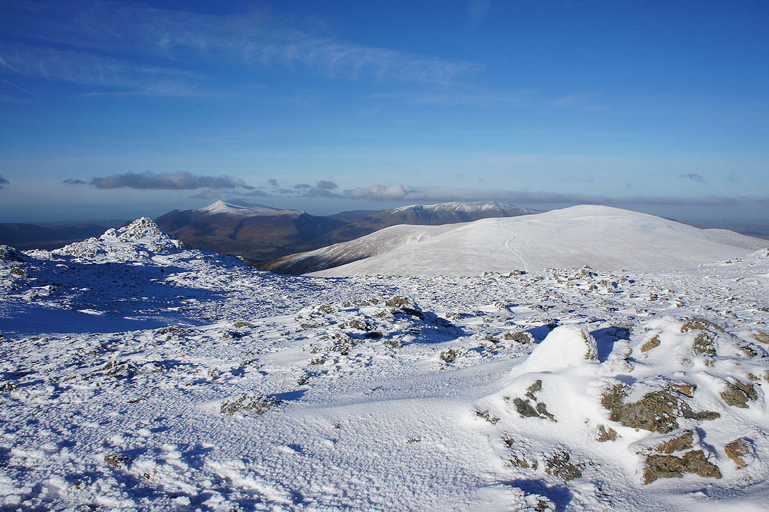
Grasmoor, Grisedale Pike and Skiddaw
Skiddaw, Blencathra, Watson's Dodd and Great Dodd
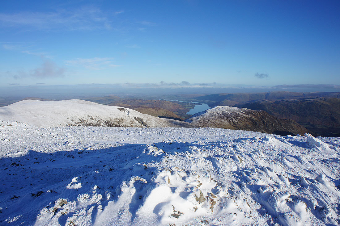
Green Side, Ullswater and Sheffield Pike
Looking back to Catstycam, Helvellyn and Helvellyn Lower Man
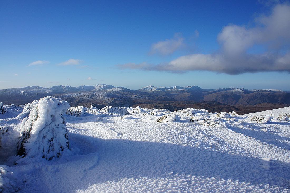
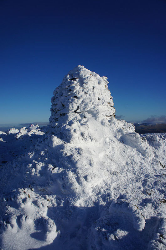
An ice plastered cairn
Making my way down to Sticks Pass
At the pass I turn left and follow the path down towards St. John's in the Vale and Stanah..
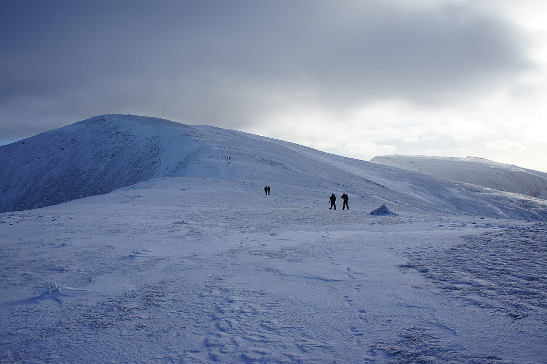
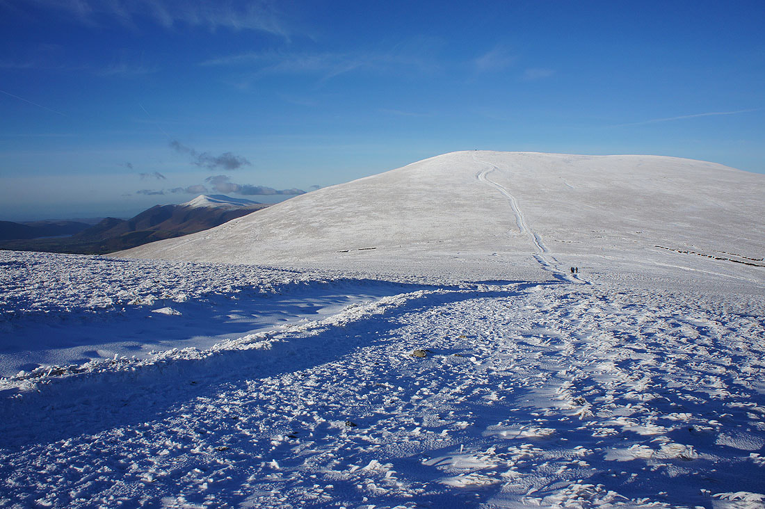
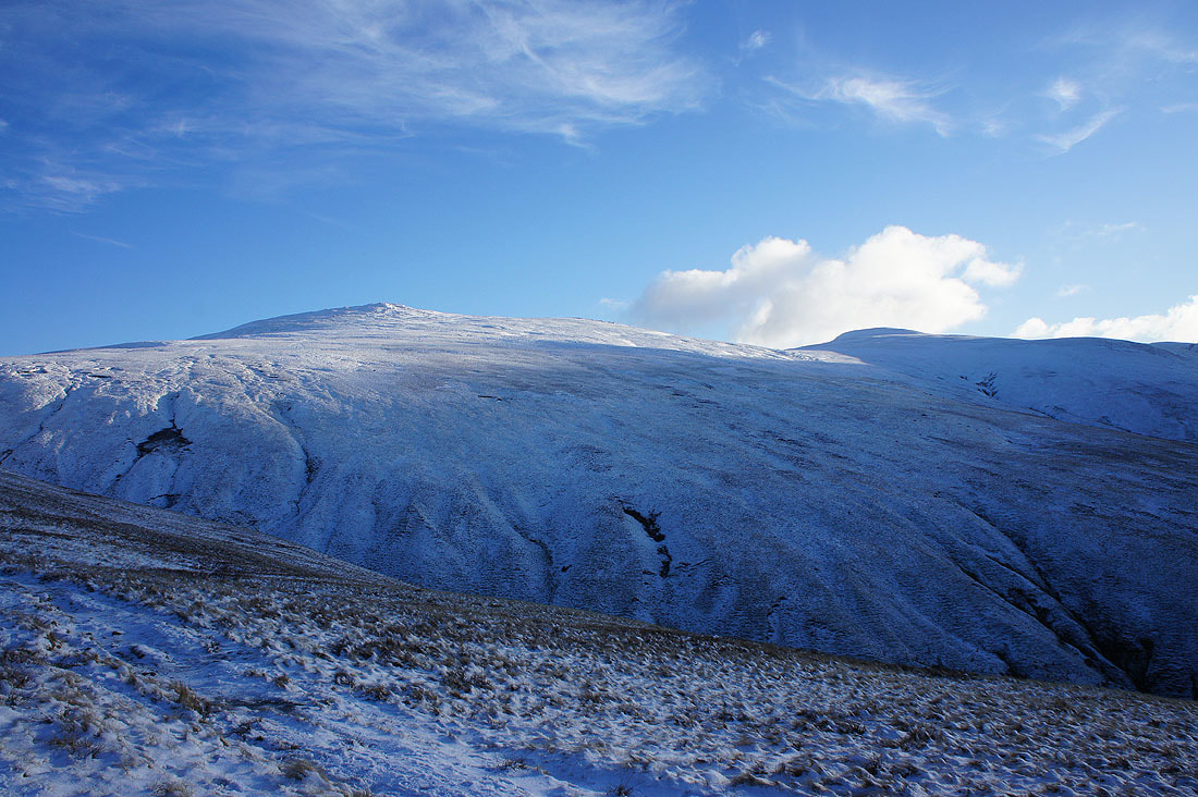
Looking back up to a snow covered Raise and Whiteside
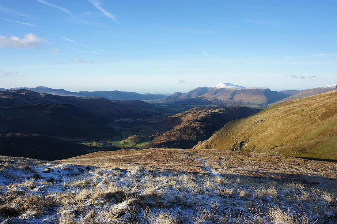
Lower down and the view of the valley to the Vale of Keswick and High Rigg opens out
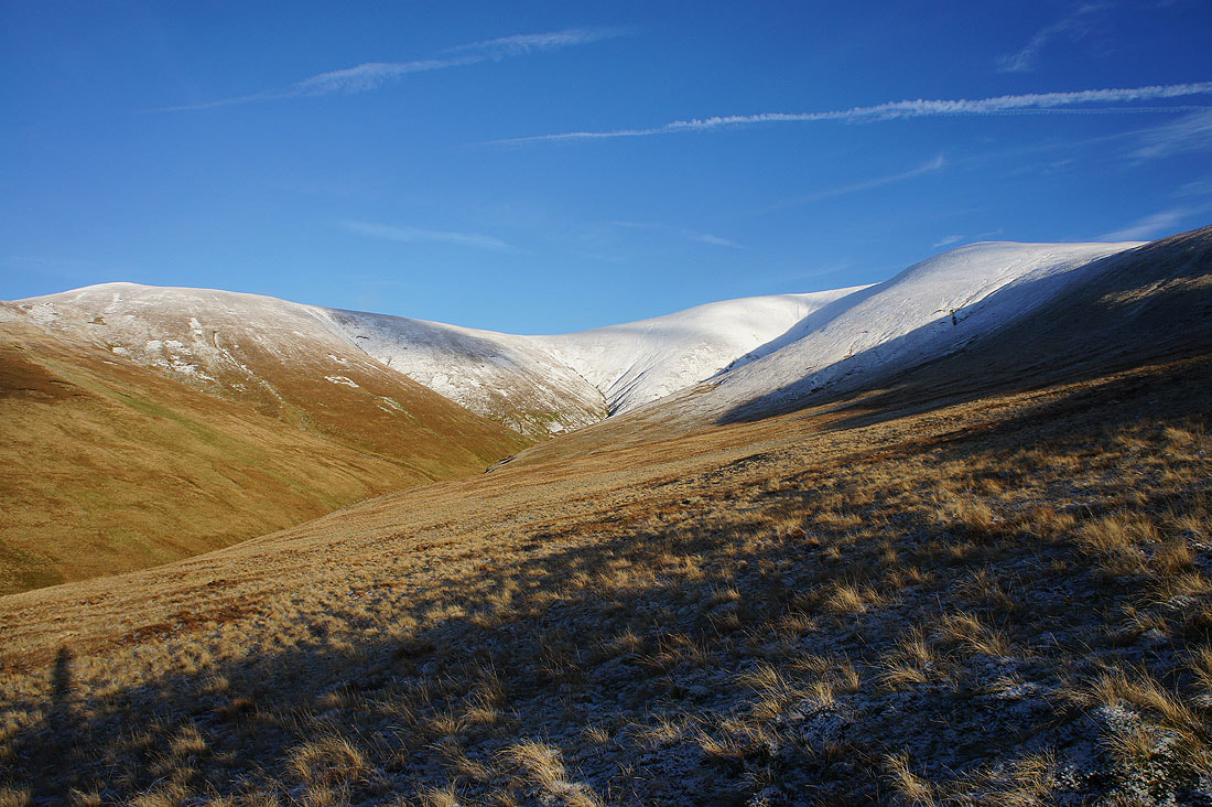
To my right, Watson's Dodd, Stanah Gill and Stybarrow Dodd
Another shot as I make my final descent to Stanah. The rocky knoll on the fellside on the right is Castle Rock.
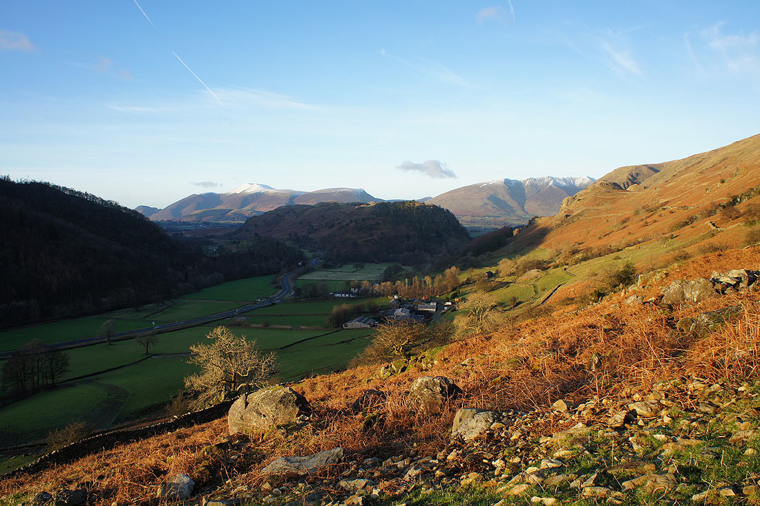
Looking back up St. John's in the Vale as I take the fellside path back to Swirls
A photo that is more or less the same as the first one I took this morning. Except, now the top of Browncove Crags still has the afternoon sun shining on them.
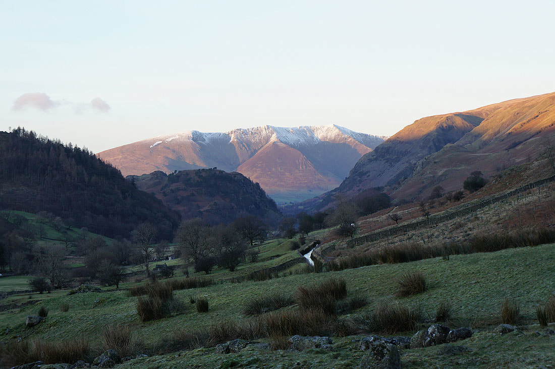
A last shot looking up St. John's in the Vale before I reach the car park..
..with a zoom in on Blencathra
