7th January 2024 - The Howgills
Walk Details
Distance walked: 10.2 miles
Total ascent: 2869 ft
OS map used: OL19 - Howgill Fells & Upper Eden Valley
Time taken: 6 hrs
Route description: Loftus Hill car park, Sedbergh-Sedbergh School-A684-Howgill Lane-Birkhaw-White Fell-White Fell Head-The Calf-Calders-Arant Haw-Winder-Lockbank Farm-Howgill Lane-A684-Sedbergh School-Loftus Hill car park, Sedbergh
With another fine winter's day forecast I decided to head north to Sedbergh for a walk on the Howgills. The route that I chose was a variation of one that I've done many times. Walk north along Howgill Lane from Sedbergh, then take one of the footpaths or bridleways that leave it to head up onto the fells to reach The Calf, then head south to Calders, Arant Haw, and Winder for a return to Sedbergh. I left Sedbergh behind with lots of blue skies and sunshine, on what was a cold and frosty start to the day, and I expected it to more or less stay that way. However, when I left Howgill Lane for the bridleway through Birkhaw I noticed a few patches of cloud on the top of the fells. It turned out that there was a lot more cloud being brought across on the northeasterly breeze than I was expecting. This resulted in a much more interesting walk across the fells than wall-to-wall blue skies and sunshine would have been, as the cloud and the views came and went as I made my way back to Sedbergh.
From the Loftus Hill car park in Sedbergh I crossed the road and took the public footpath that goes through the grounds of Sedbergh School and to the A684, where I crossed the road, turned left and walked past the entrance to the SPAR supermarket, then took a public footpath on the right uphill to reach Howgill Lane. I then walked west and north along Howgill Lane until I reached a bridleway on the right up the track to Birkhaw. I took this and followed it through Birkhaw, then east up through fields, around the side of Seat Knott (where I stopped for a break), and down to and across the ford on Bram Rigg Beck. The bridleway was left here to cross the ridge of Bram Rigg to reach the bridleway up White Fell, which I followed up to White Fell Head, and onwards to The Calf. Once I'd taken a break and waited to see if I'd get a view, I took the bridleway south to Calders, then down to and across Rowantree Grains before leaving it to head to the top of Arant Haw. I then descended from Arant Haw, made my way to the top of Winder, and took a steep way down to Lockbank Farm to reach Howgill Lane, which I crossed to take a footpath south to the A684. After crossing the road I retraced my steps back to the Loftus Hill car park.
Route map
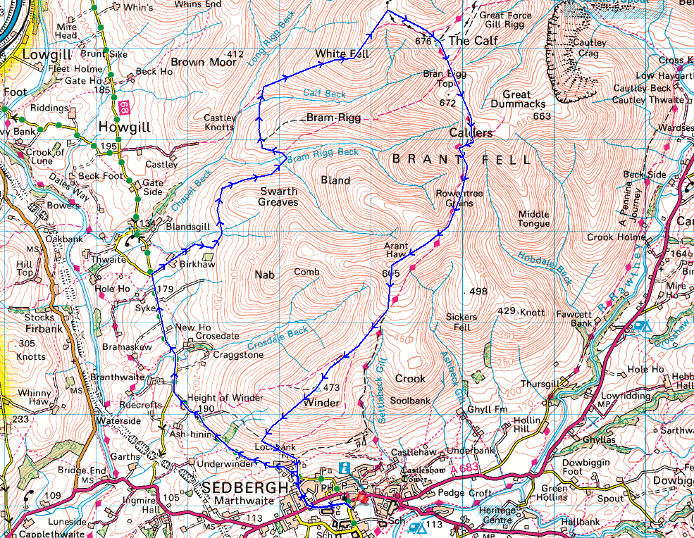
© Crown copyright. All rights reserved. License number PU 100034184.
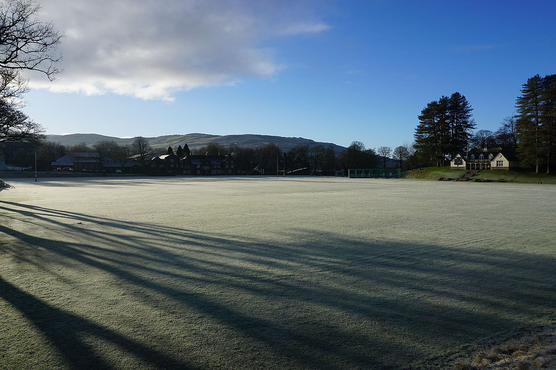
Walking past a frosty Sedbergh cricket ground
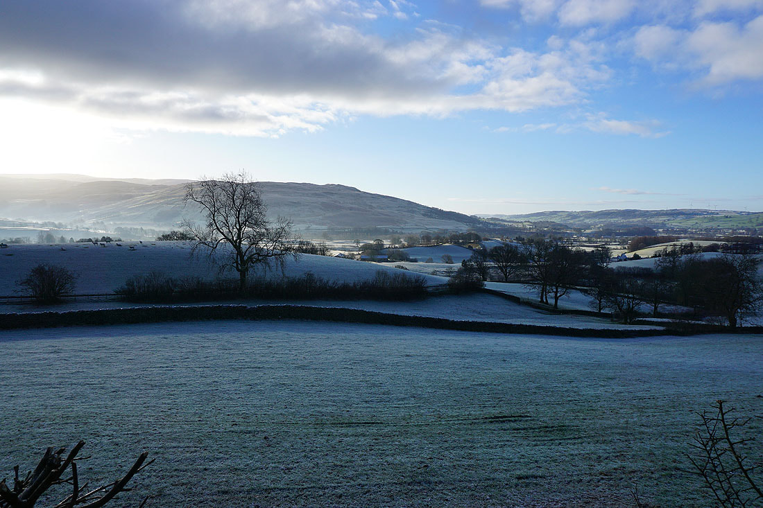
Looking across to Holme Knott as I leave Sedbergh behind on Howgill Lane
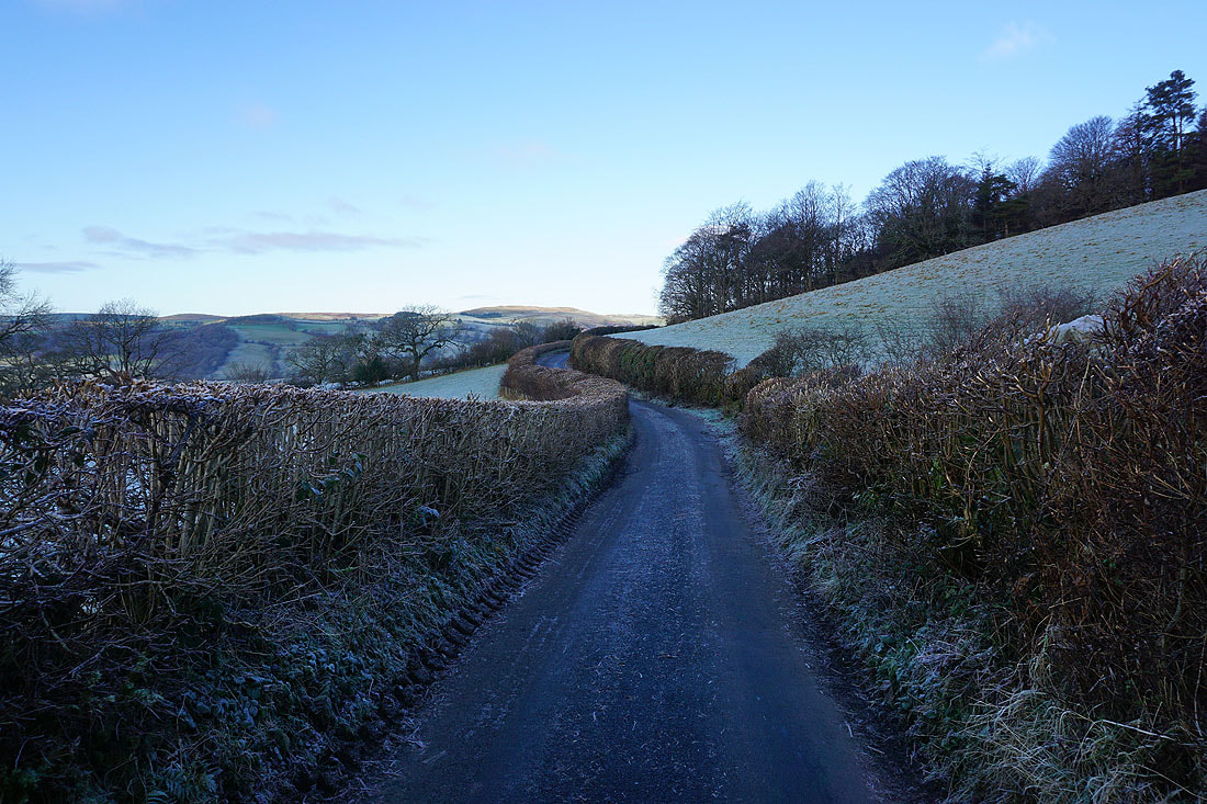
Walking north along Howgill Lane...
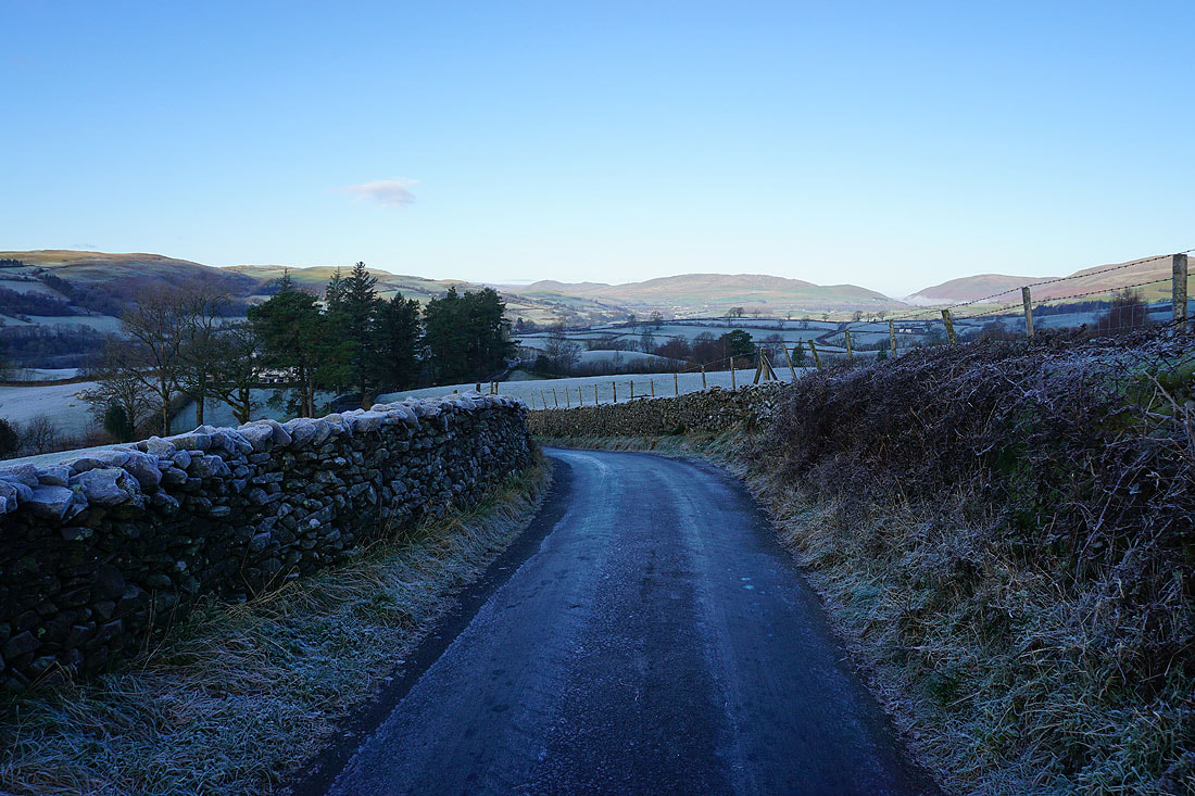
To my left, frosty fields head down to the River Lune
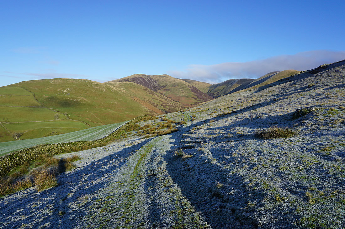
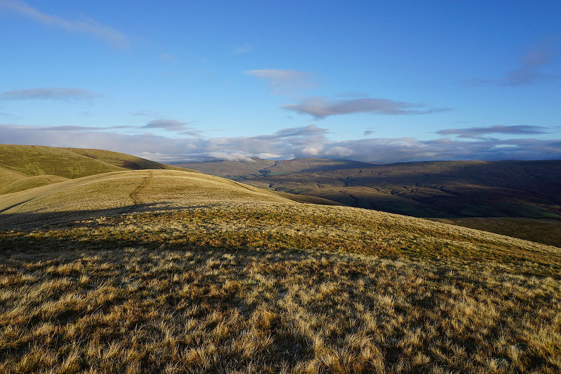
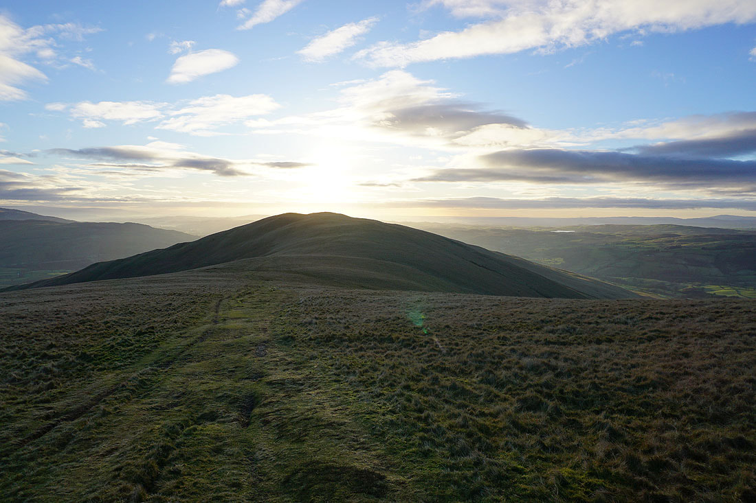
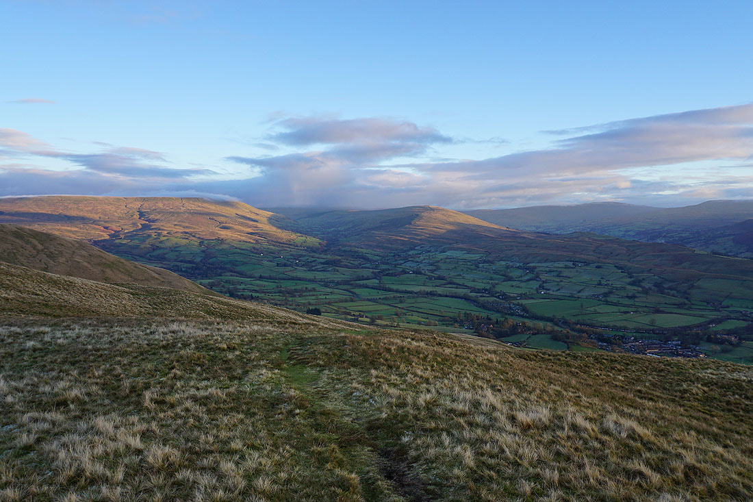
and to my right, Fell Head, and the slopes that rise to White Fell Head, The Calf, and Bram Rigg Top
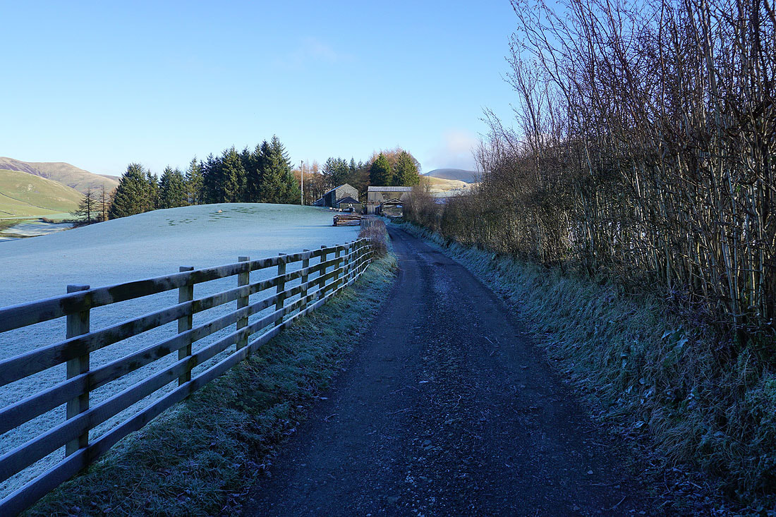
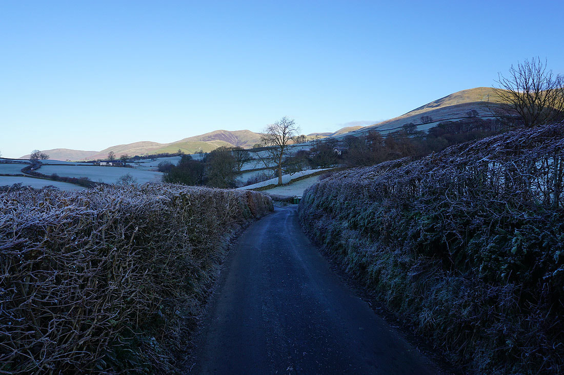
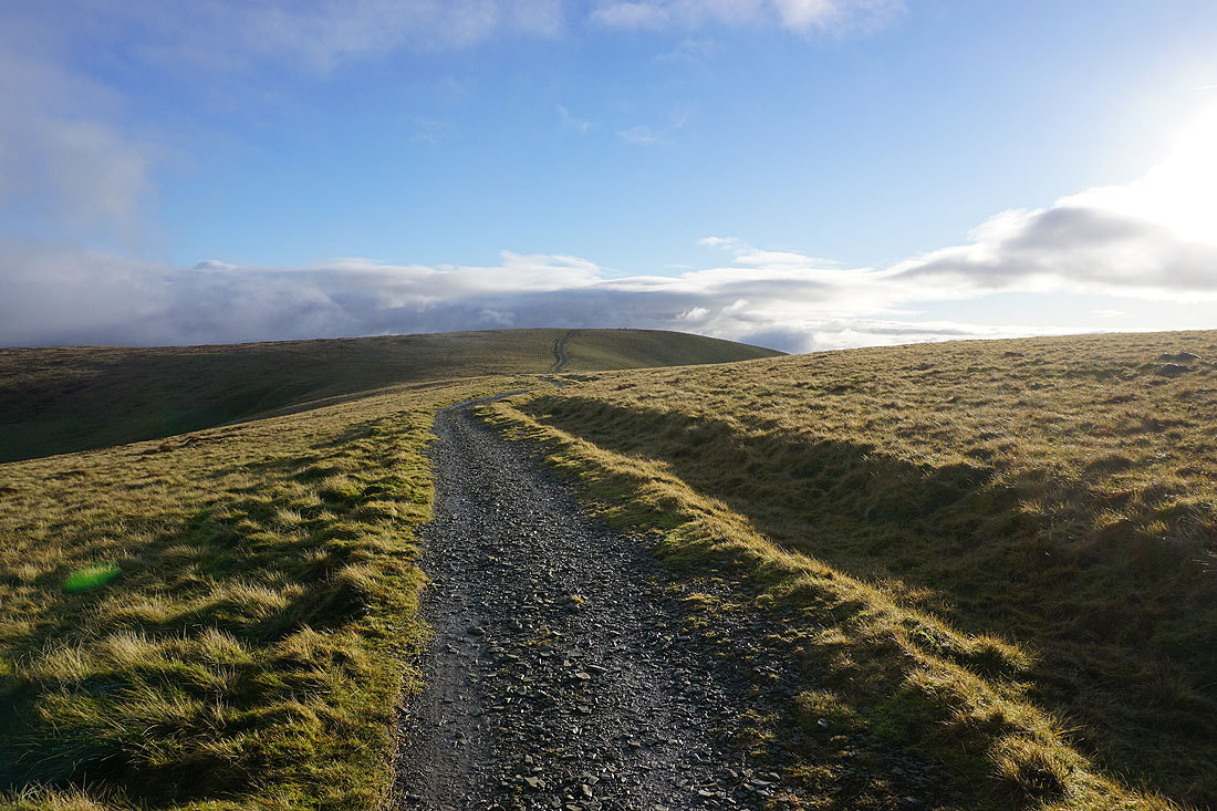
I leave Howgill Lane and take the bridleway through Birkhaw
and then up through fields towards the western slopes of Arant Haw
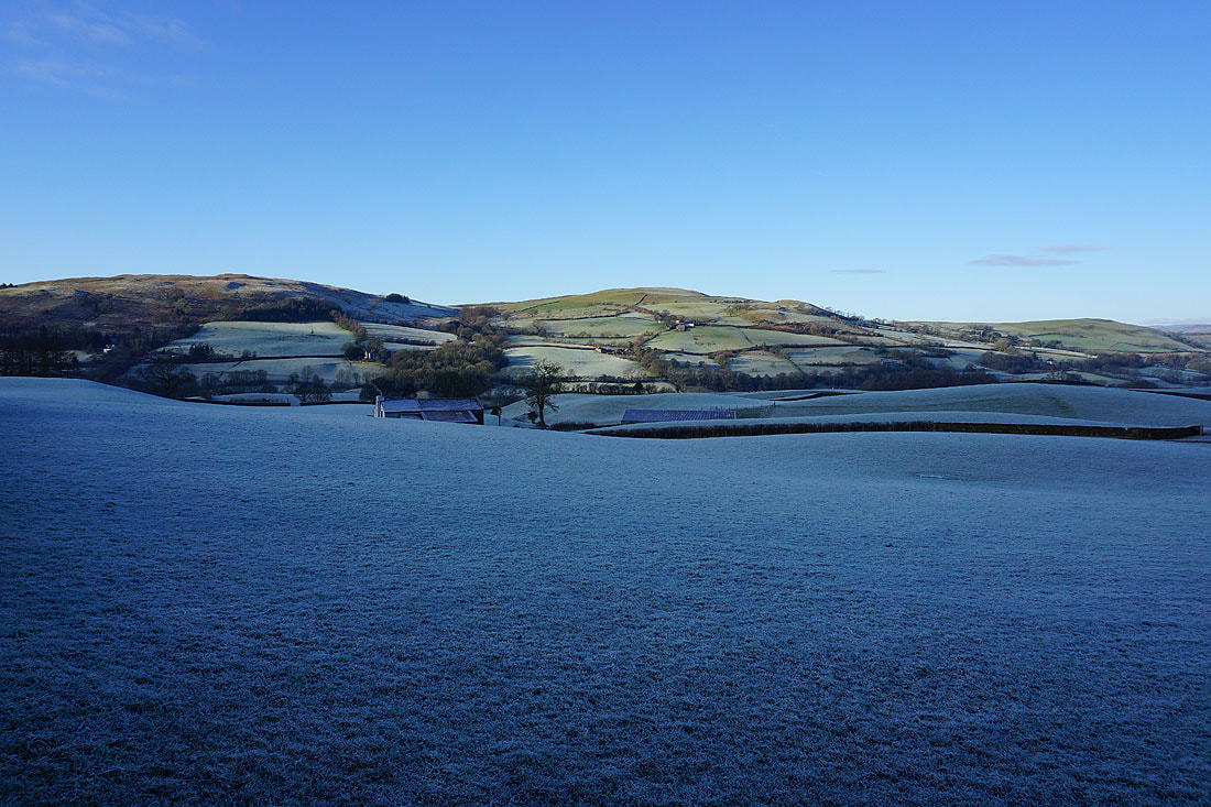
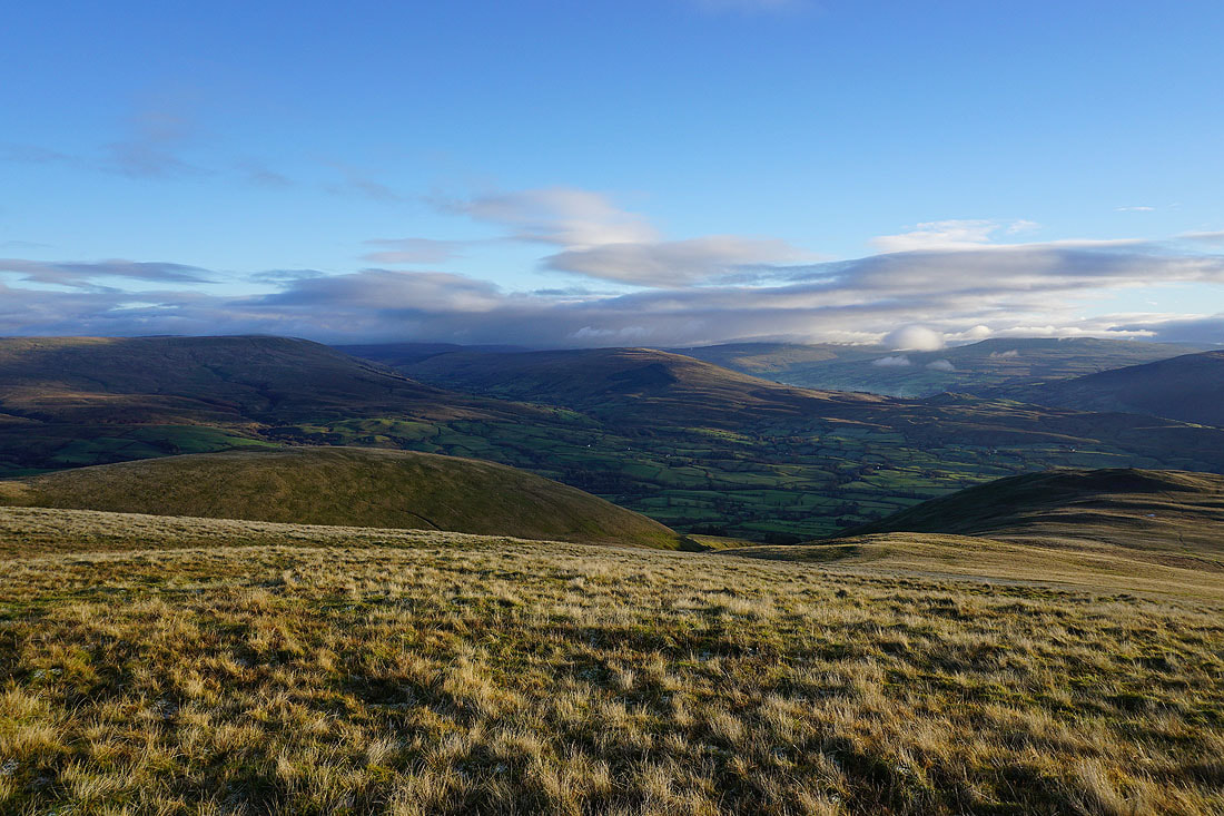
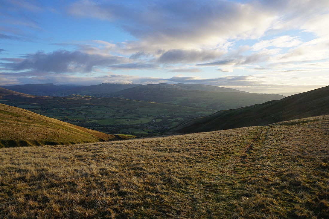
Looking back and across the valley of the River Lune
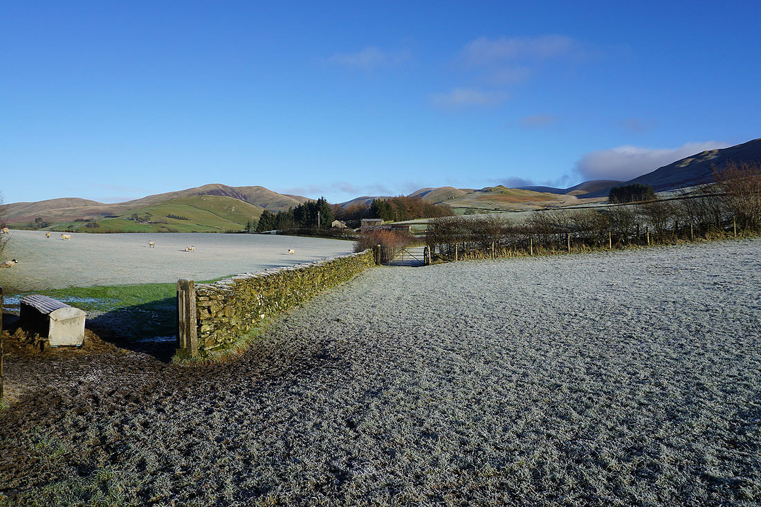
Seat Knott ahead. The bridleway crosses the hillside below it.
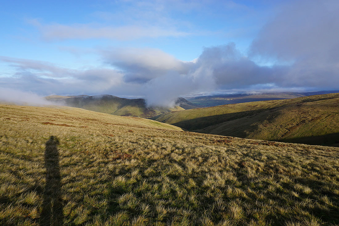
Fell Head from the bridleway below Seat Knott. I decided to take a short break here. The amount of cloud on the fells changed quite a bit during that ten minutes.
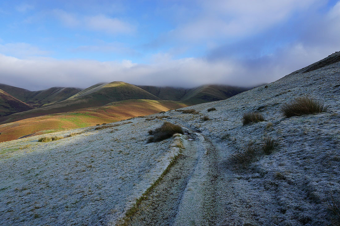
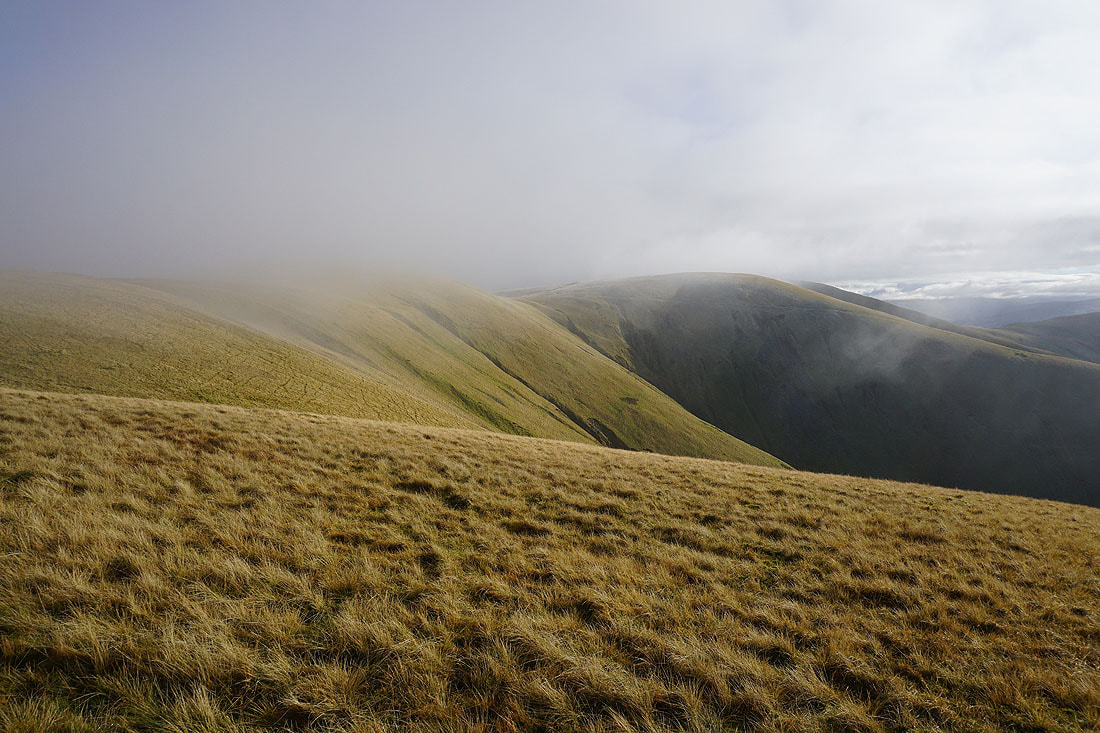
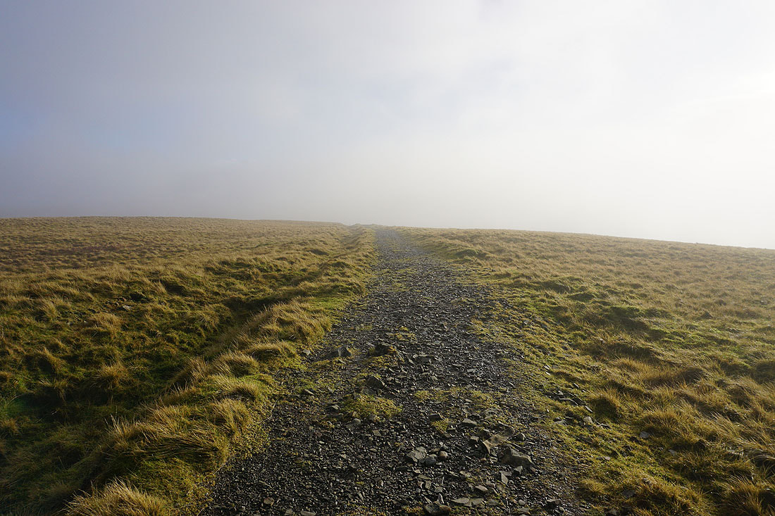
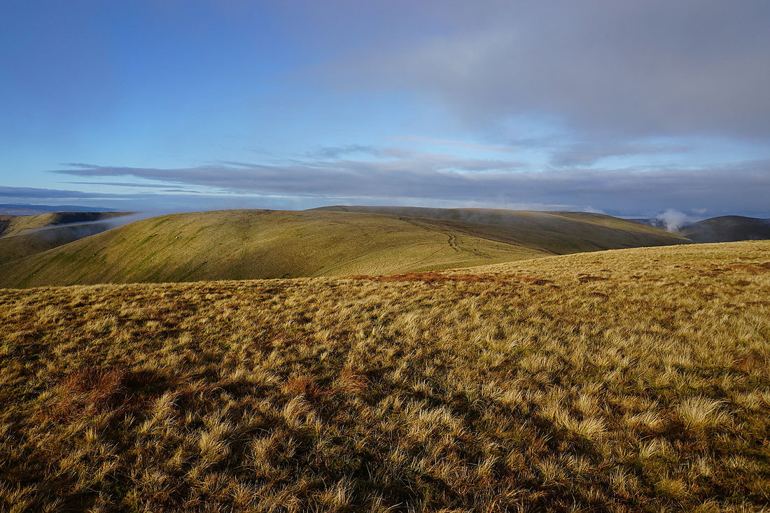
Cloud topped fells as I follow the bridleway east towards Swarth Greaves Beck
Castley Knotts, Brown Moor, and Fell Head above the meandering Chapel Beck
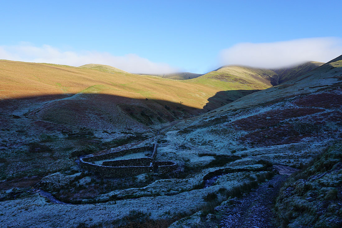
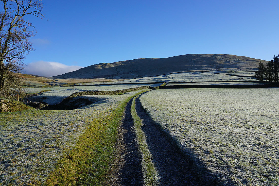
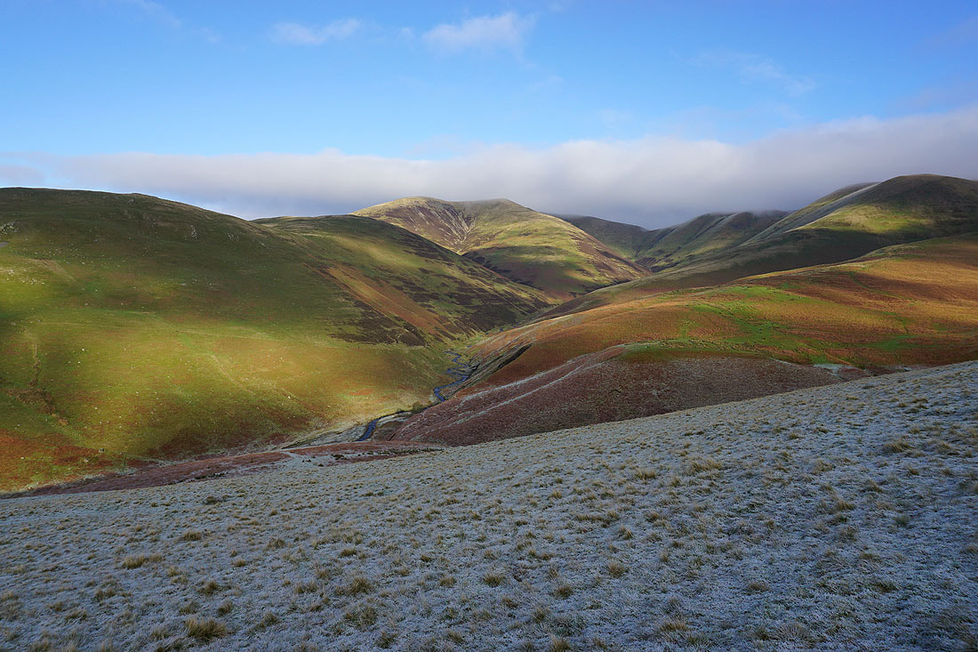
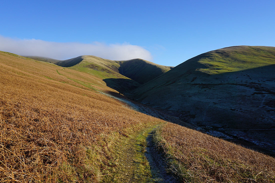
Heading down to cross the fords on Swarth Greaves Beck and Bram Rigg Beck below the ridge of Bram Rigg
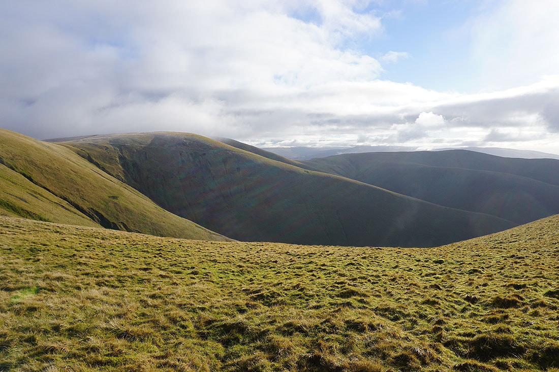
Looking back up the valley of Bram Rigg Beck to Bram Rigg Top and Calders
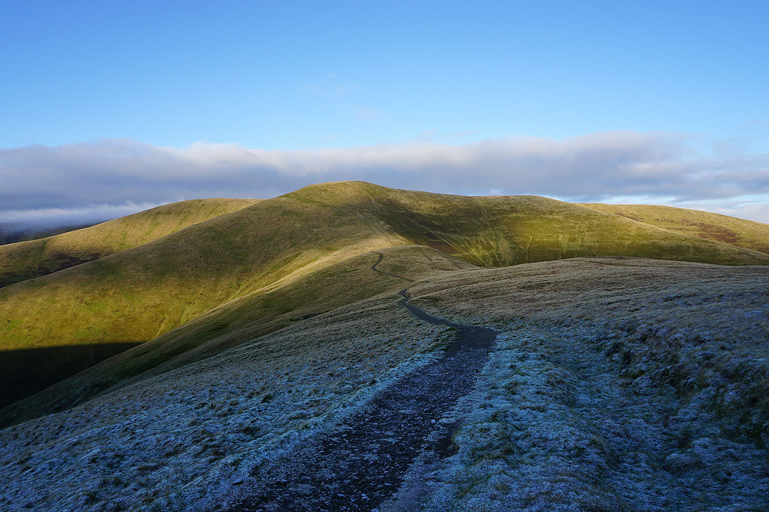
Having crossed Bram Rigg, a long climb up White Fell to White Fell Head
The reward for the effort is a view across to the southern half of the Lake District
The Calf, Bram Rigg Top, and Arant Haw from White Fell Head..
The Lake District fells in the distance with cloud on Fell Head
Cloud covers The Calf and Bram Rigg Top
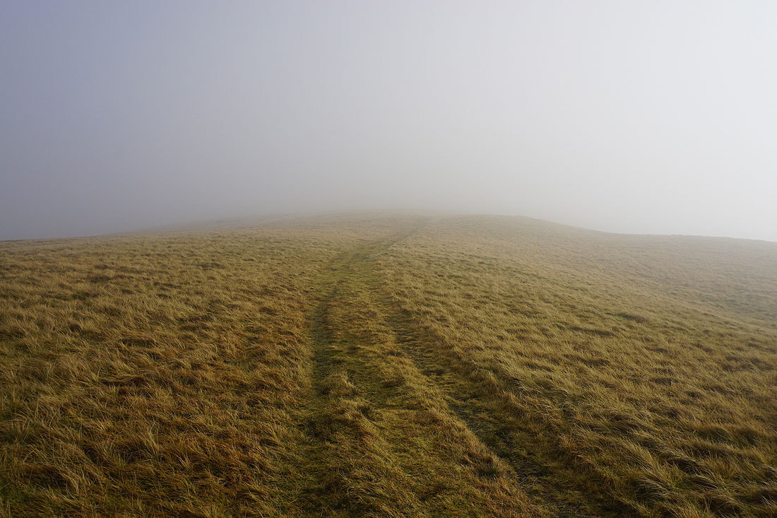
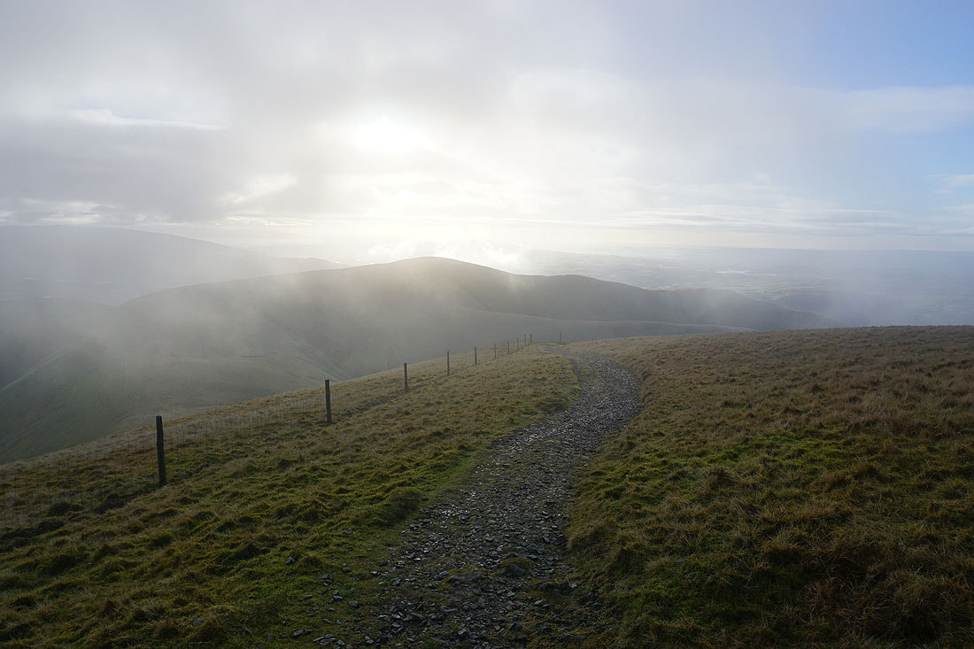
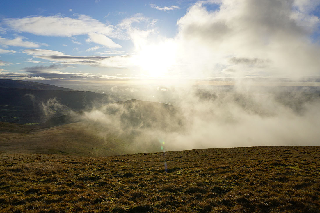
Heading for The Calf, and at the moment I don't rate my chances of getting much of a view
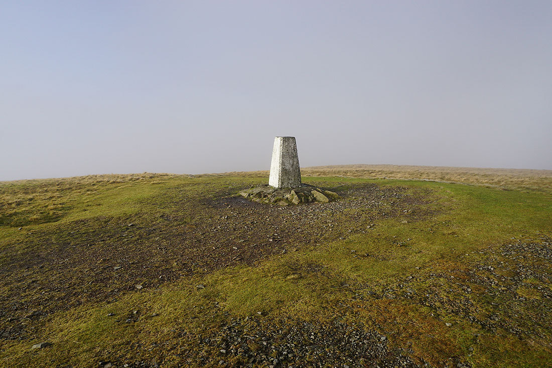
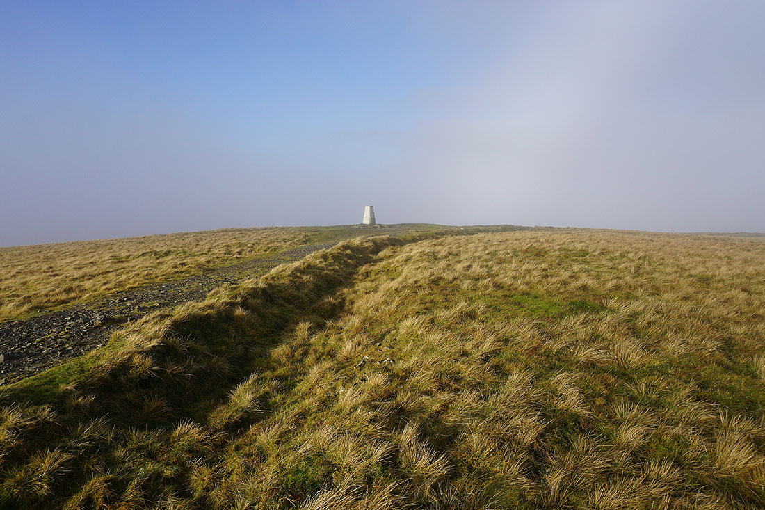
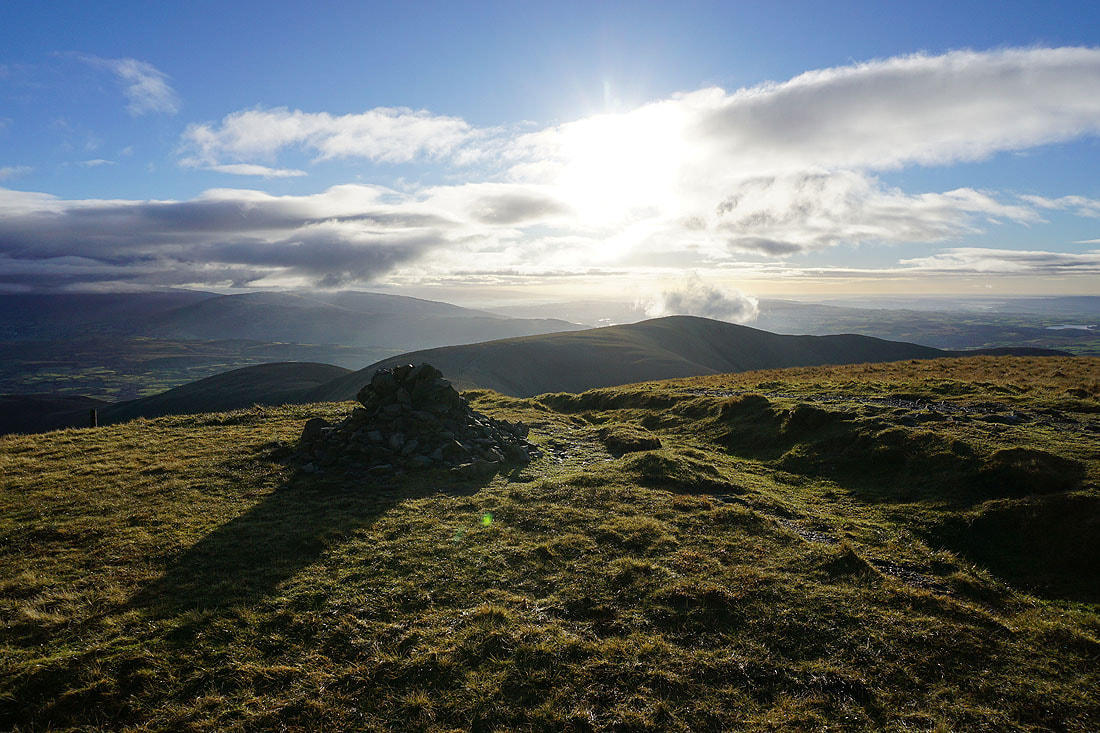
At the trig point on The Calf. It's bright, and every now and then the cloud briefly clears.
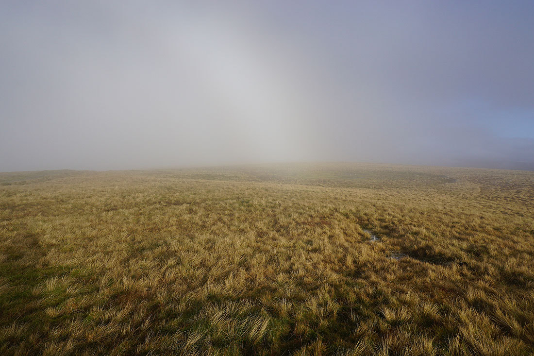
A hint of a fogbow
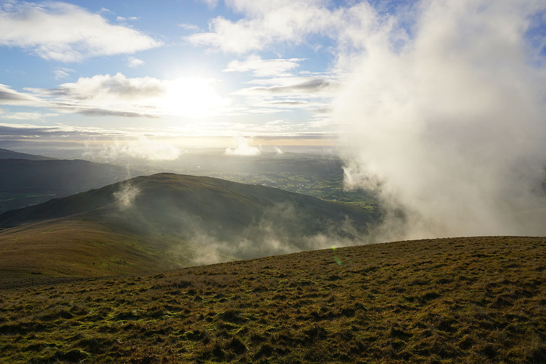
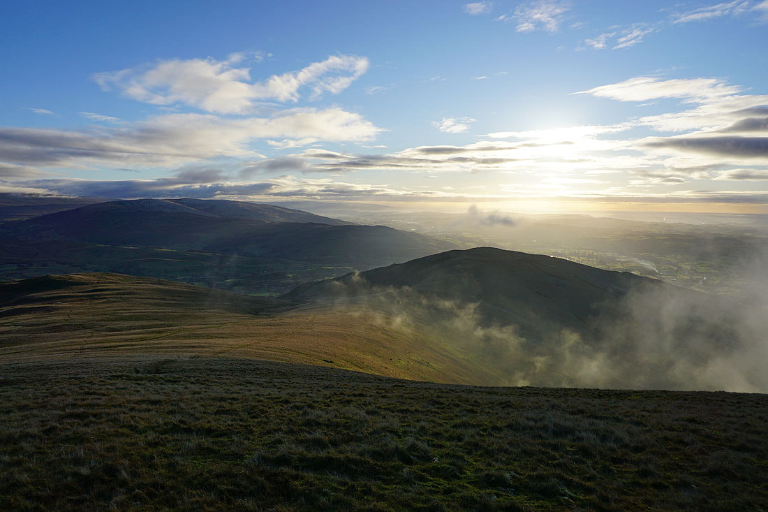
A break in the cloud allows a glimpse of the view towards Morecambe Bay
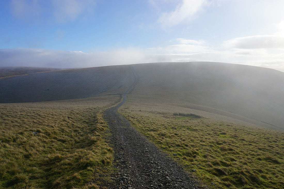
After waiting for about twenty minutes to see if the cloud would clear, I finally decide to move on and take the bridleway to Calders
I can see blue sky. So frustrating! I bet the cloud will clear now that I'm leaving.
Following the bridleway south and across the shoulder of Bram Rigg Top
Passing the top of Force Gill Beck, which flows down to Cautley Spout
Definitely no view from The Calf at the moment as I take a look back
Approaching Calders
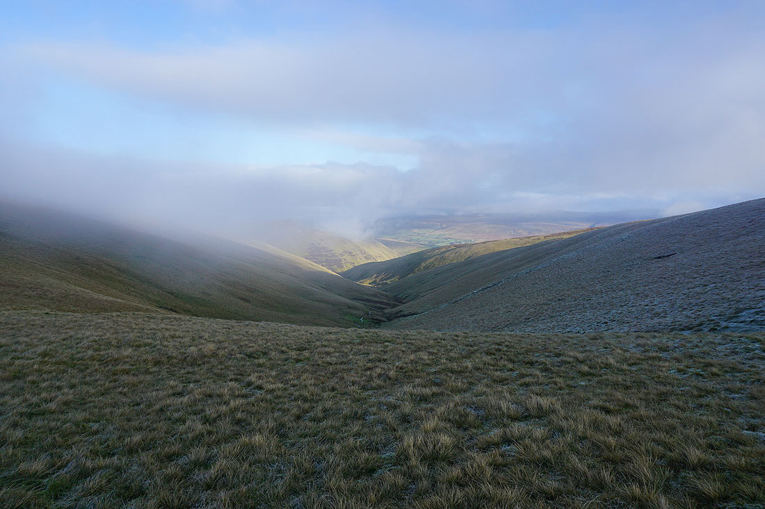
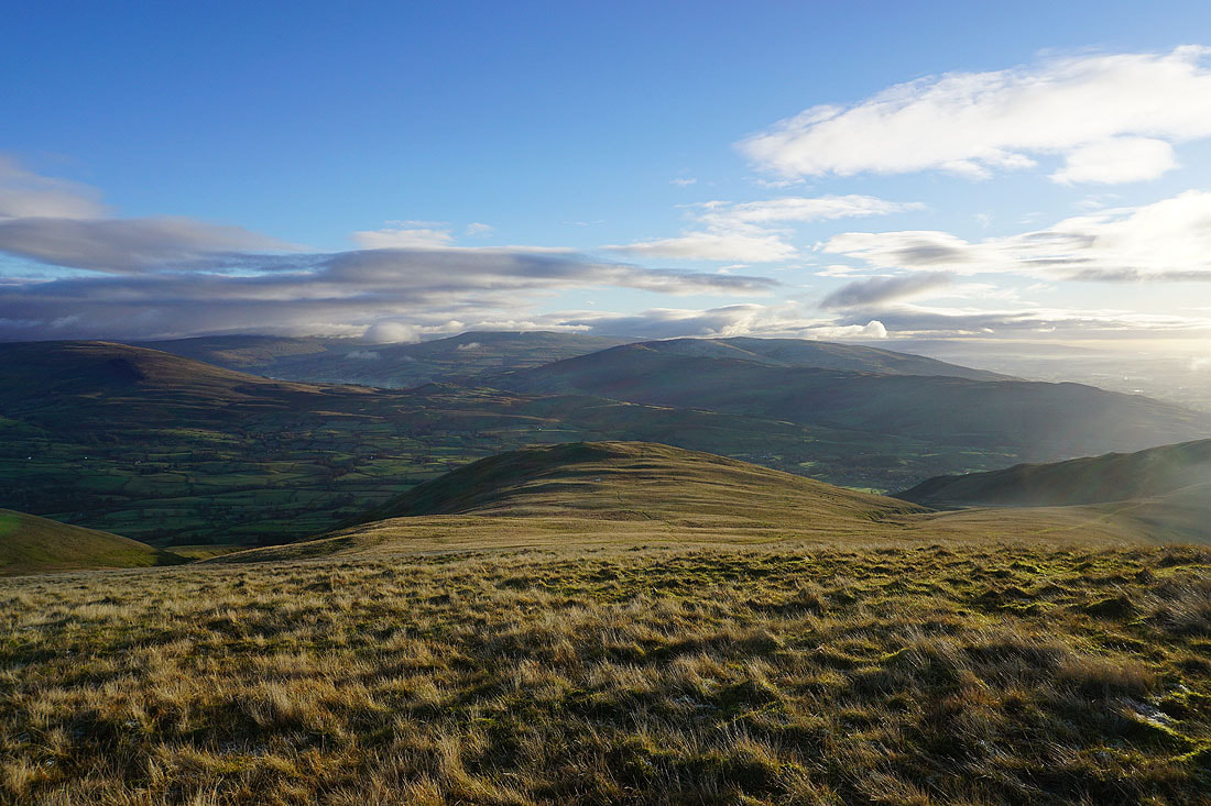
Looking down Red Gill Beck to Yarlside
At the summit cairn on Calders. Looking southwest to Middleton Fell, and the neighbouring Arant Haw.
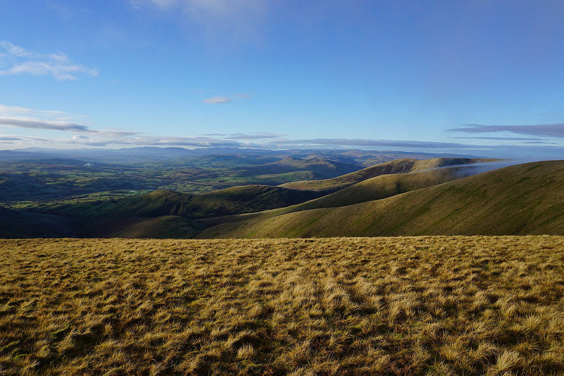
Howgills ridges and the Lake District in the distance to the west
Bram Rigg Top and The Calf, which happen to be free of cloud at the moment
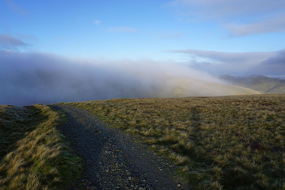
Cloud briefly comes across as I descend the bridleway from Calders
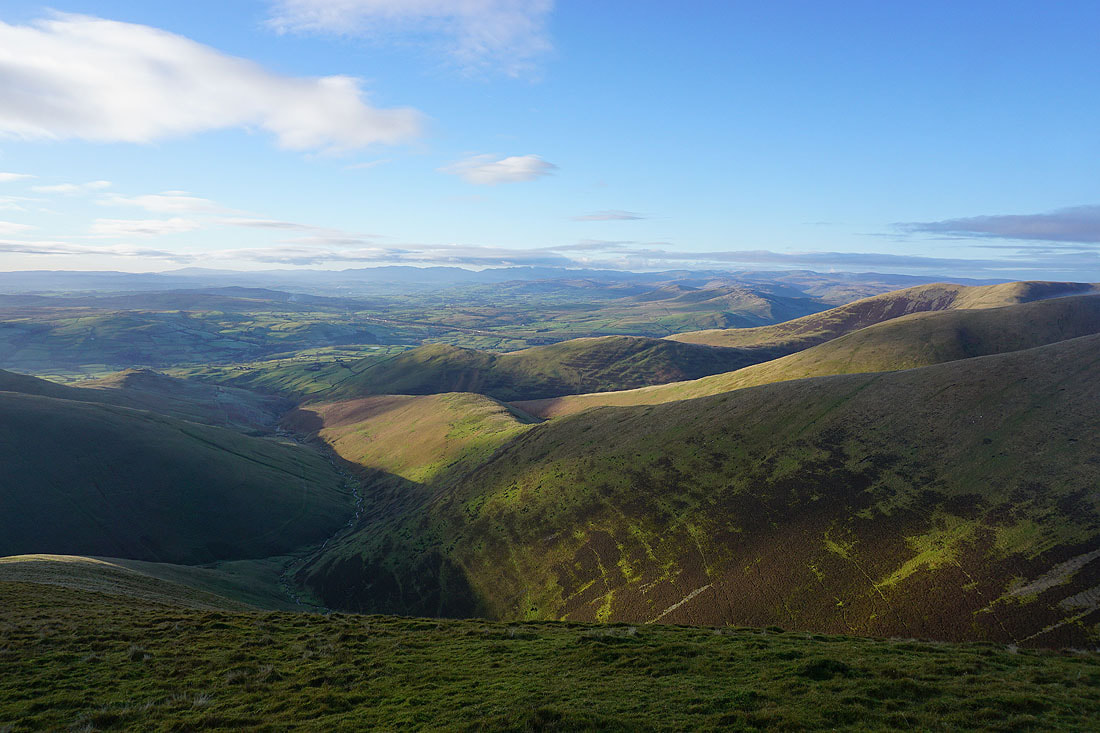
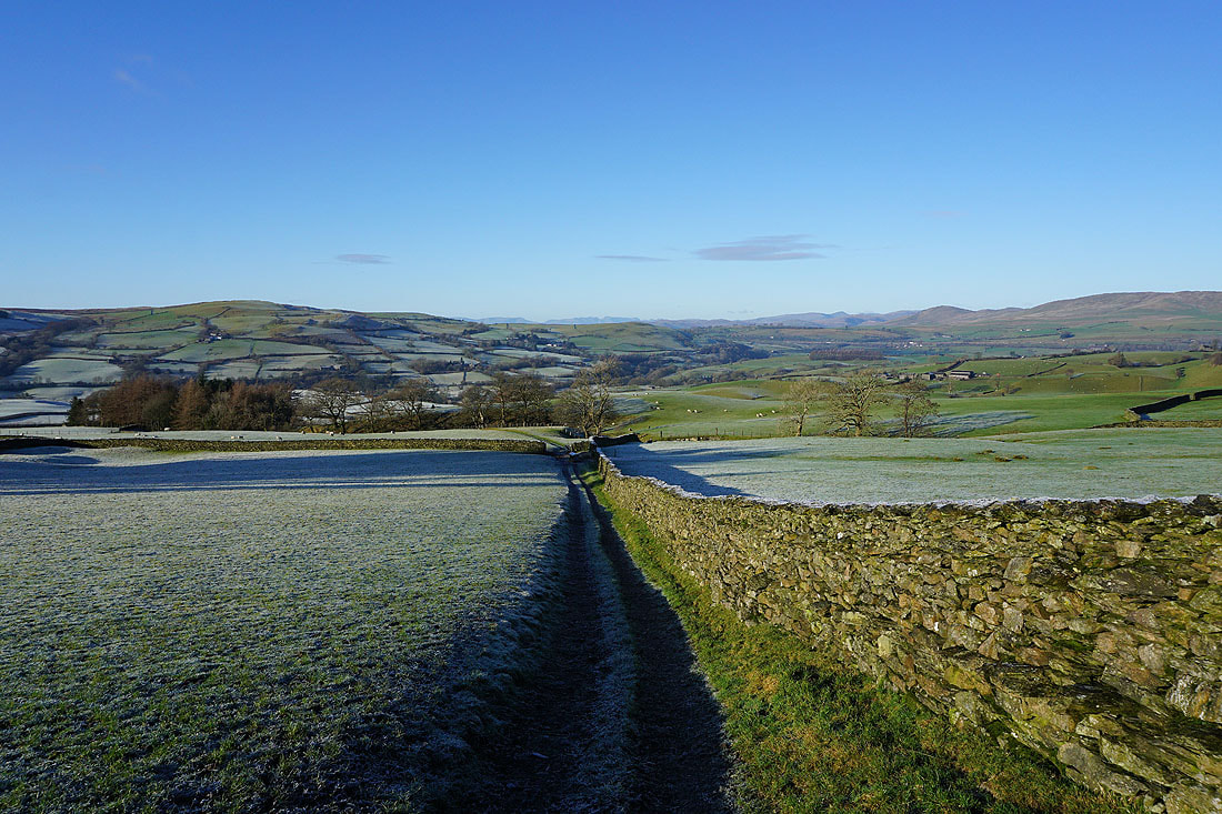
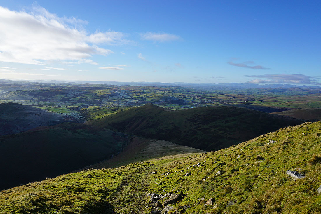
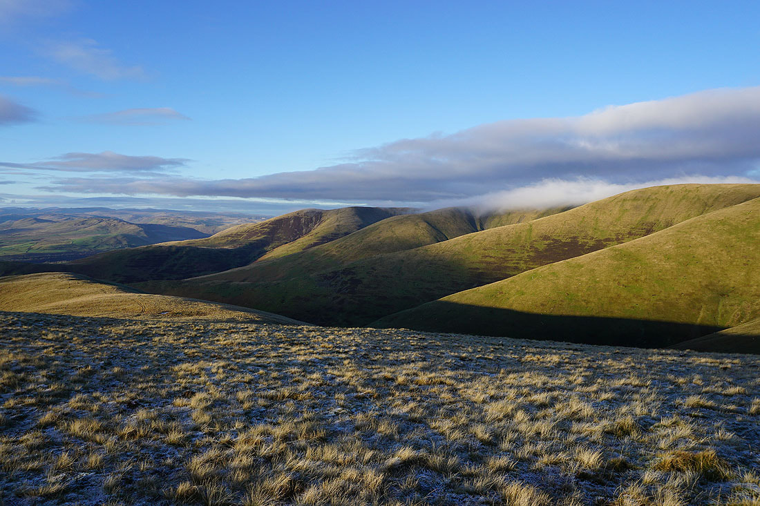
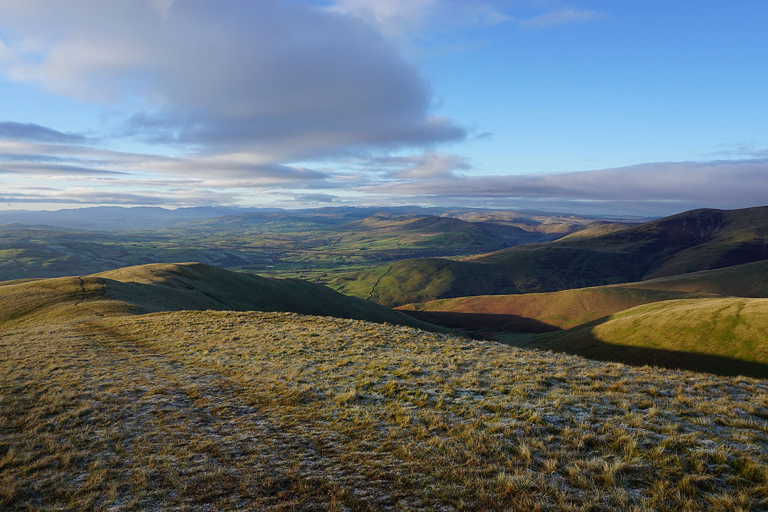
Lots of Howgills ridges descending into Lunesdale, with the Lake District fells in the distance
Crossing Rowantree Grains to Arant Haw
Looking back to Calders from Rowantree Grains
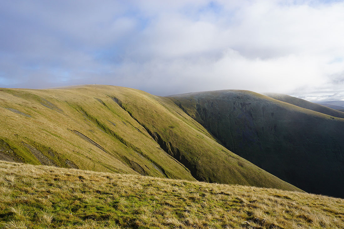
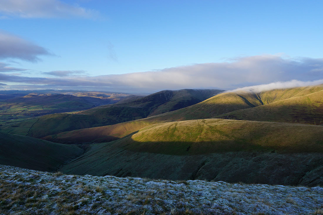
Fell Head, White Fell, and the ridges of Bram Rigg, and Calders Rigg
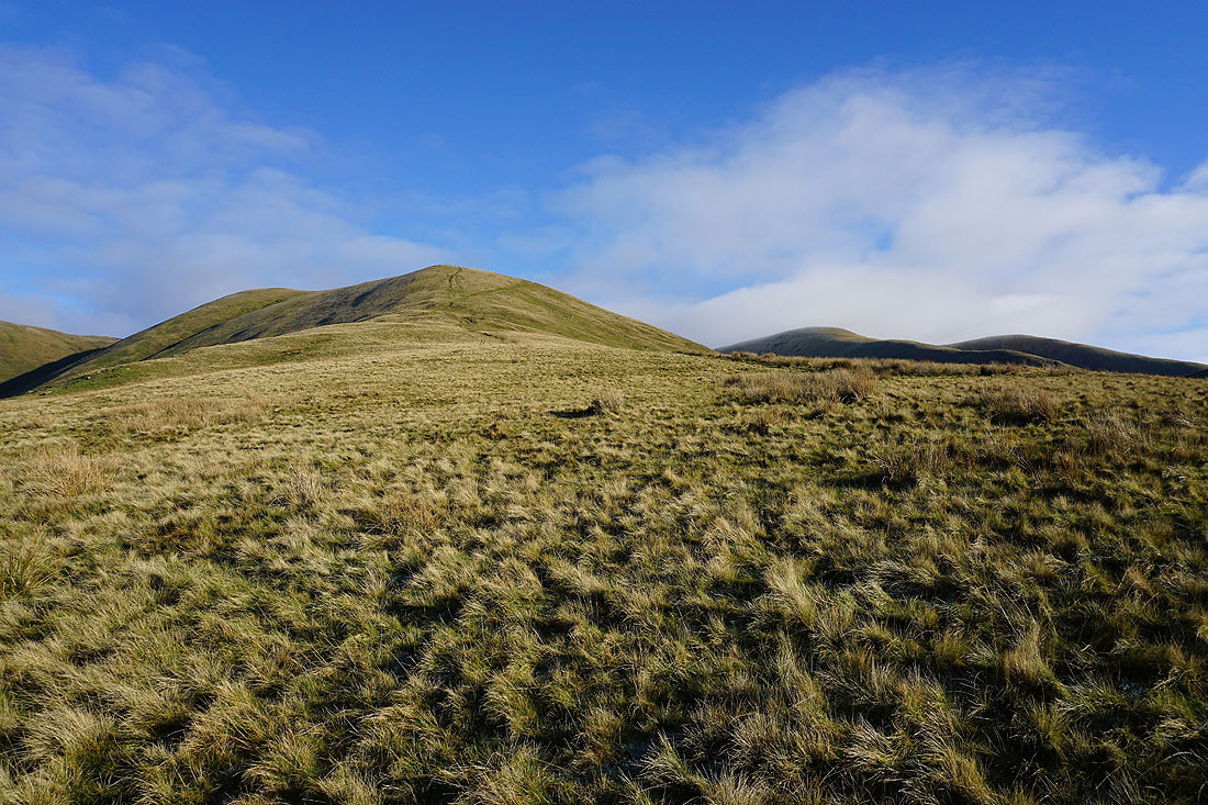
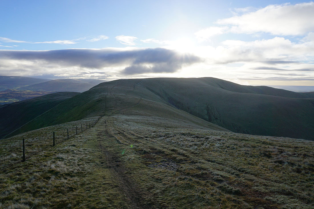
Approaching the top of Arant Haw
On the summit of Arant Haw. Looking north to Calders.
Cloud on the tops of Wild Boar Fell and Swarth Fell to the northeast
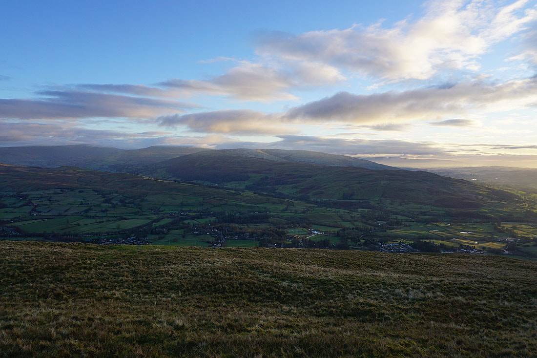
Baugh Fell, Garsdale, Aye Gill Pike, and Dentdale to the southeast
Looking across the Rawthey valley to a cloud topped Whernside, Great Coum, and Middleton Fell, with the fell of Crook below
What's happening in the sky between Arant Haw and Winder has caught my attention. A patch of cloud has formed and is gradually rising in front of me. The two photos were taken just three minutes apart..
The Lake District fells to the west
Five minutes later and the cloud is disappearing as quickly as it appeared
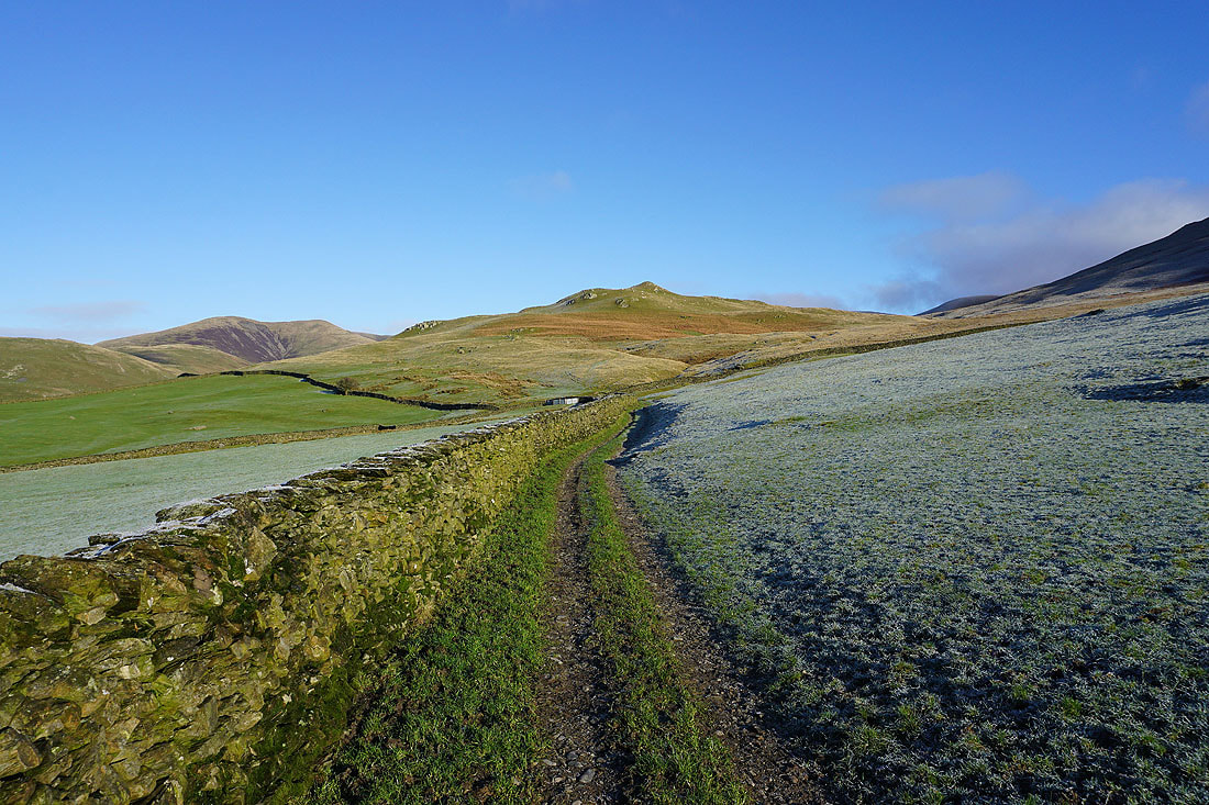
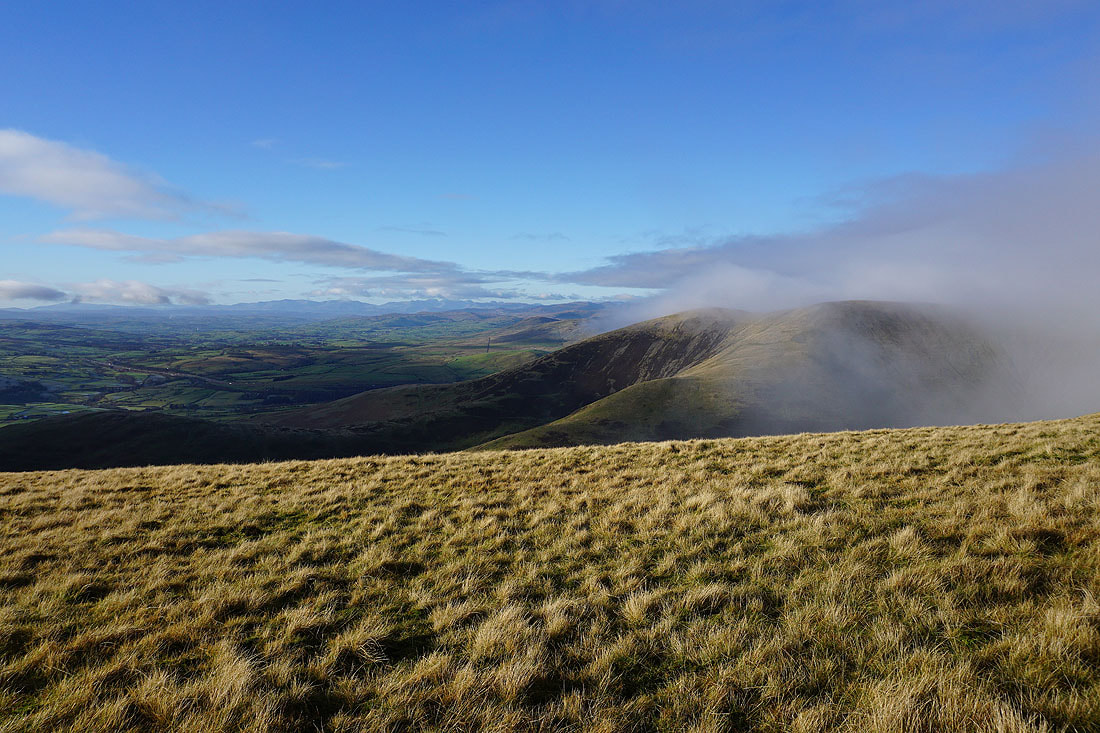
A last shot from Arant Haw of Fell Head and White Fell. It looks like cloud is covering those tops again.
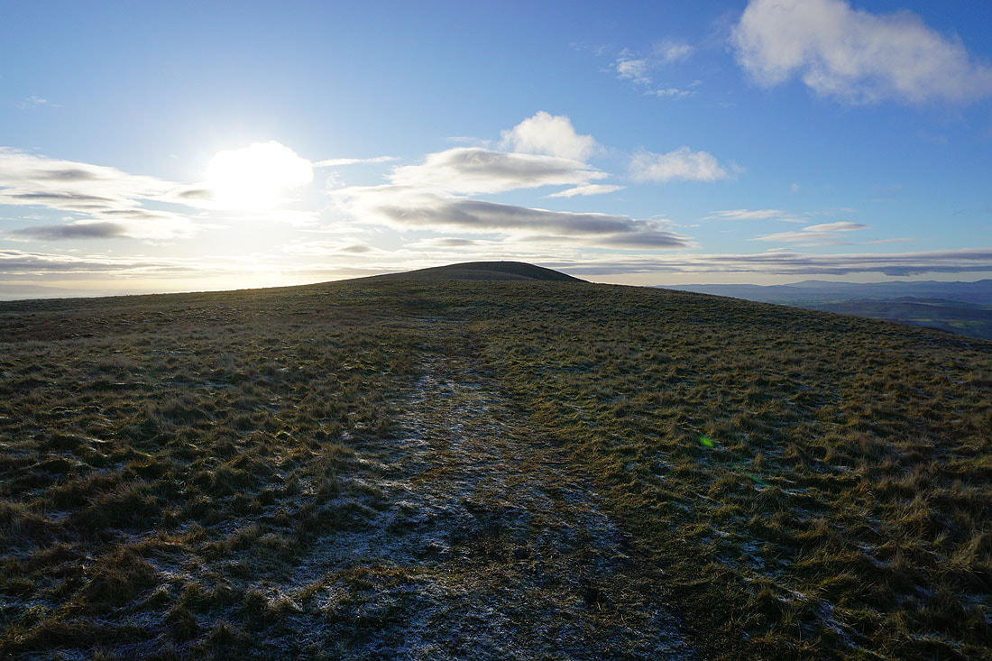
Heading for Winder
Looking down Settlebeck Gill to Sedbergh
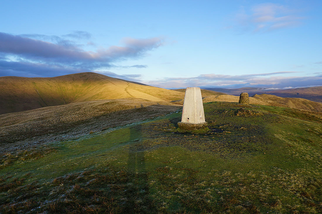
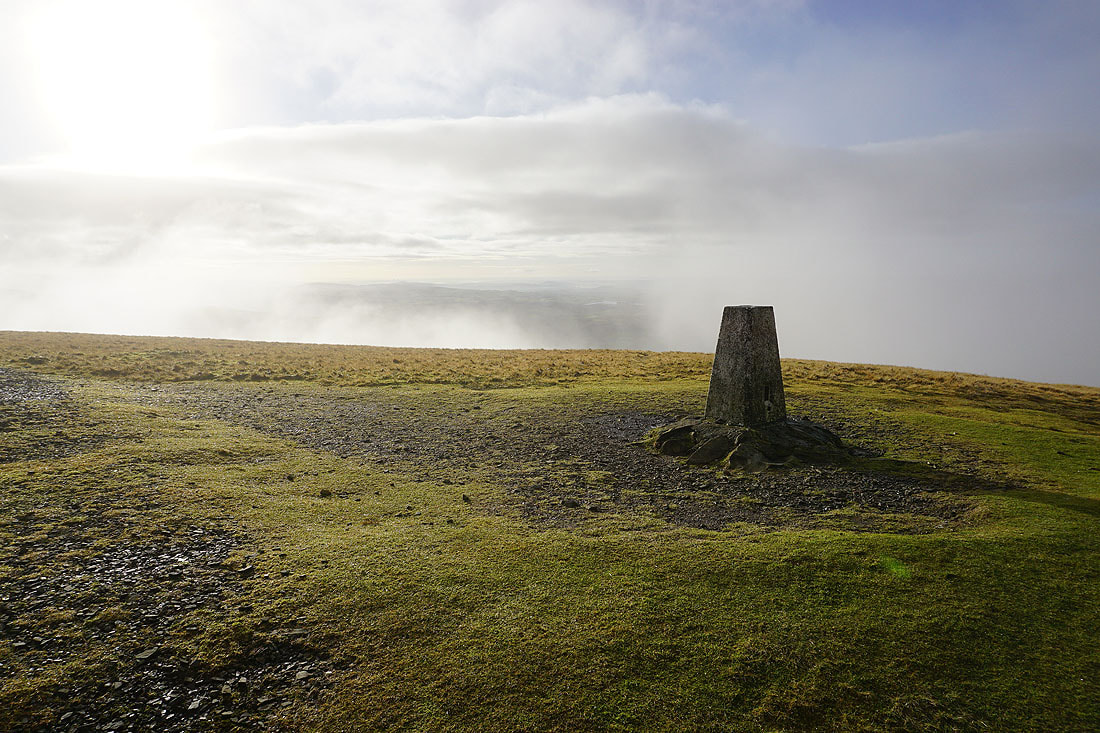
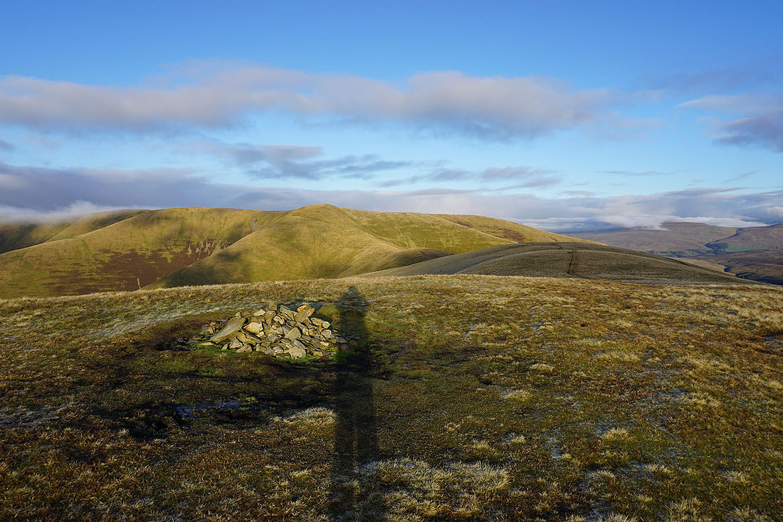
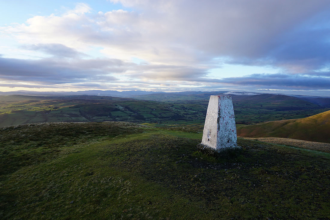
At the toposcope and trig point on Winder
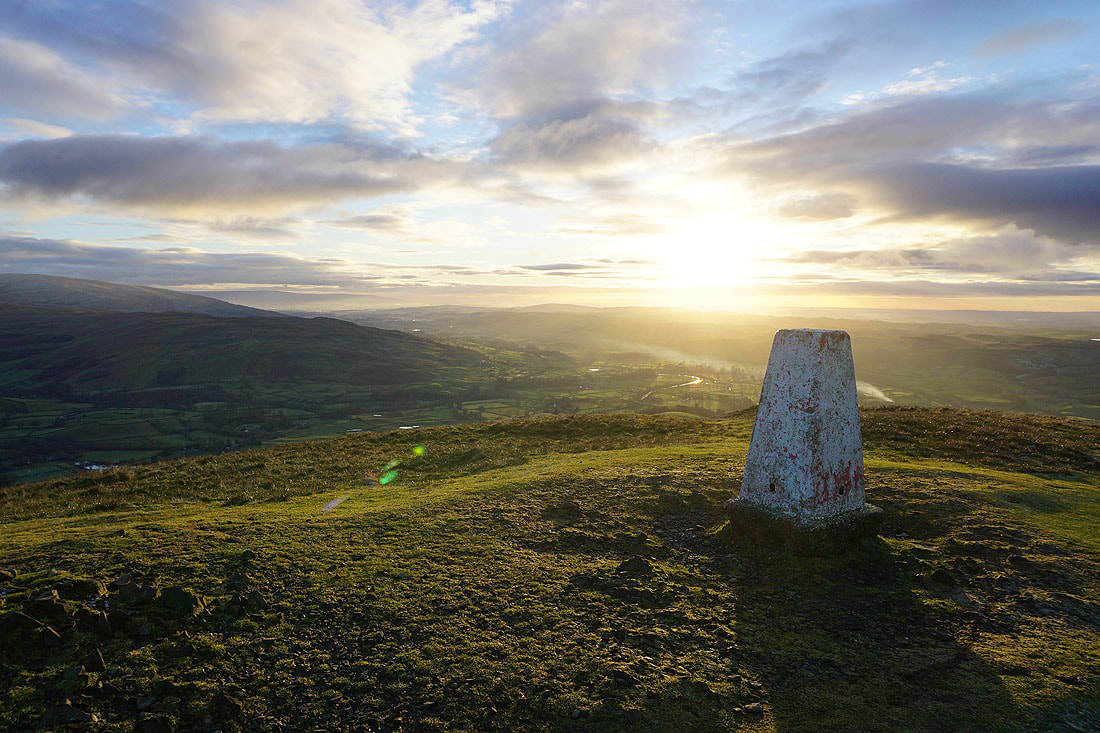
Looking south down the valley of the River Lune as the sun starts to set
and across the valley of the River Rawthey to Baugh Fell and Aye Gill Pike..
..and to Great Coum, Middleton Fell, and Holme Knott
The Lake District fells in the distance
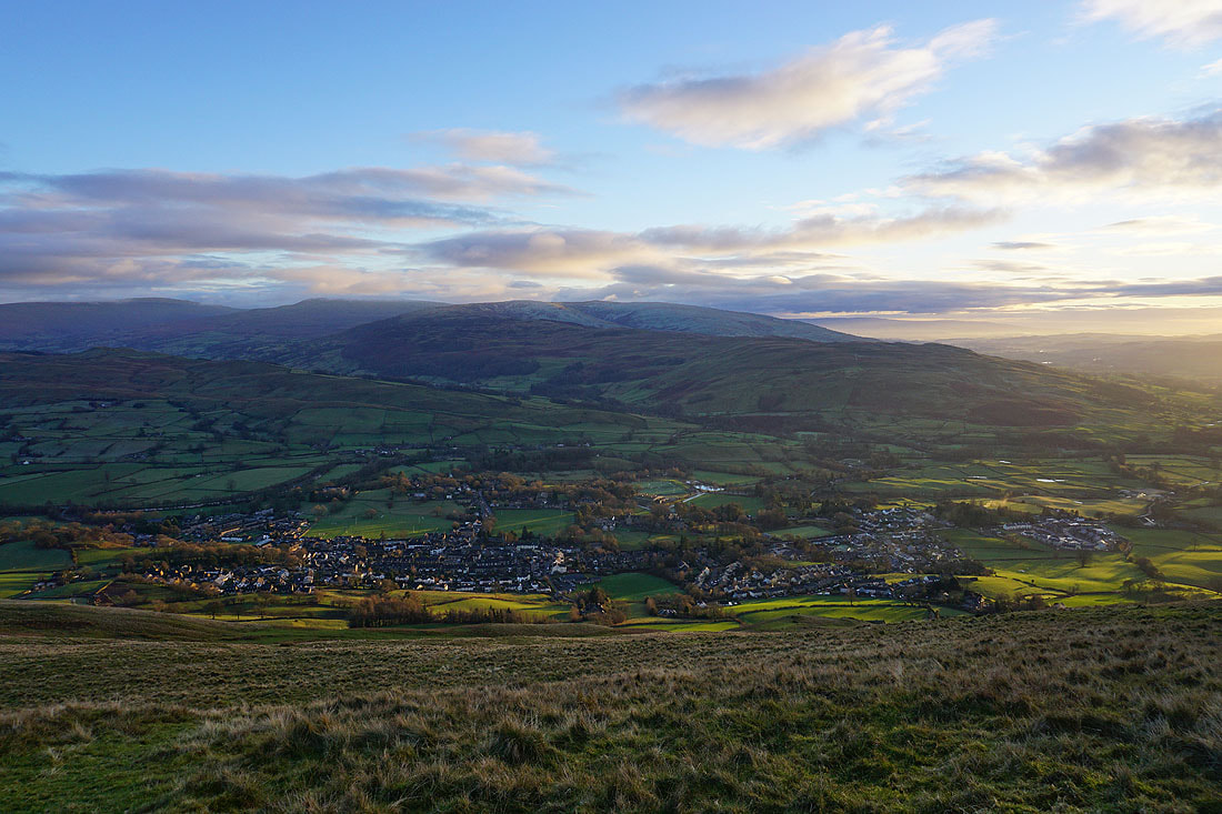
The town of Sedbergh below
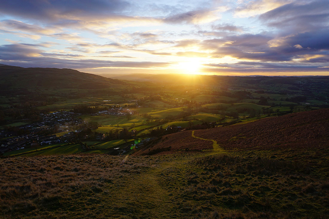
A steep descent to Sedbergh to finish