7th July 2013 - A great walk on Great Hill
Walk Details
Distance walked: 7.9 miles
Total ascent: 1018 ft
OS map used: 287 - West Pennine Moors
Time taken: 4.5 hrs
Route description: Crowfield Road car park-Witton Weavers Way-Higher Pasture House-Belmont-Hordern Stoops-Spitlers Edge-Great Hill-Pimms-A675-Hollinshead Hall-Crowfield Road car park
If yesterday was warm then today was hot, so I stuck to doing a relatively gentle walk on my local patch of the West Pennine Moors. A refreshing breeze on the tops made it a lovely day to be out.
From the car park on Crowfield Road I set off on the Witton Weavers Way for Belmont. Above Belmont Reservoir I left this path to head downhill to reach the dam of the reservoir. I then walked through Belmont to take a footpath that heads uphill to join the Rivington Road at Hordern Stoops. I then enjoyed the moorland stretch of the walk across Spitlers Edge to Great Hill. My route back took me down to the A675 Belmont Road and through the ruins of Hollinshead Hall back to the car park.
Route map
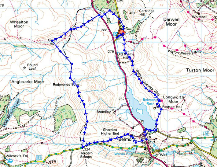
Great Hill in the background and it's already hot as I set off from the car park and walk through the picnic site
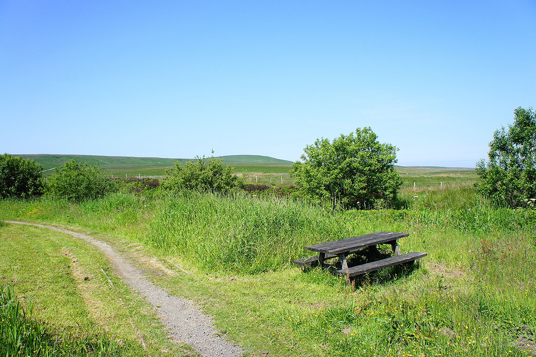
On the Witton Weavers Way
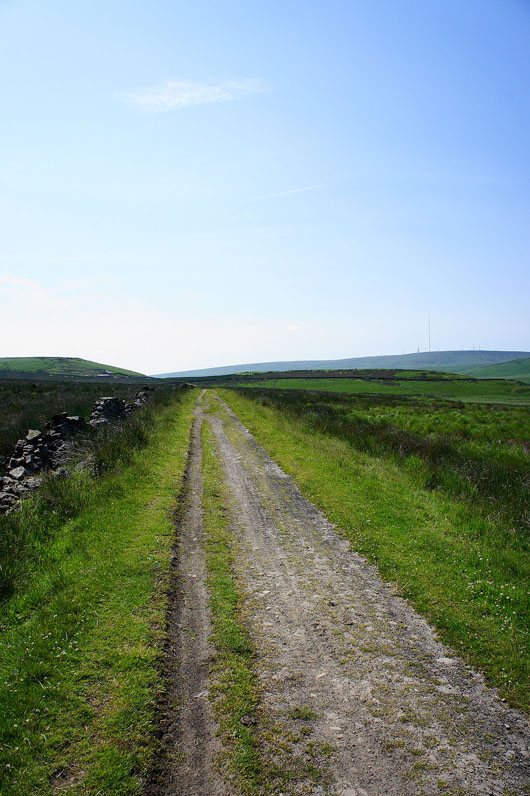
Belmont Reservoir with Winter Hill in the background
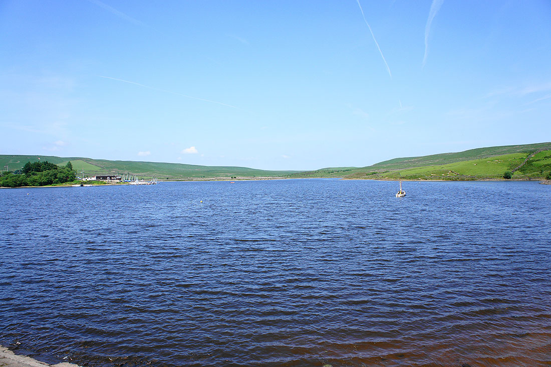
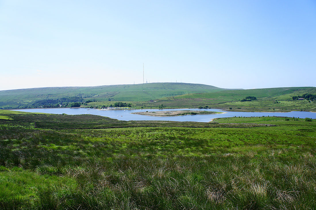
Belmont Reservoir from its dam
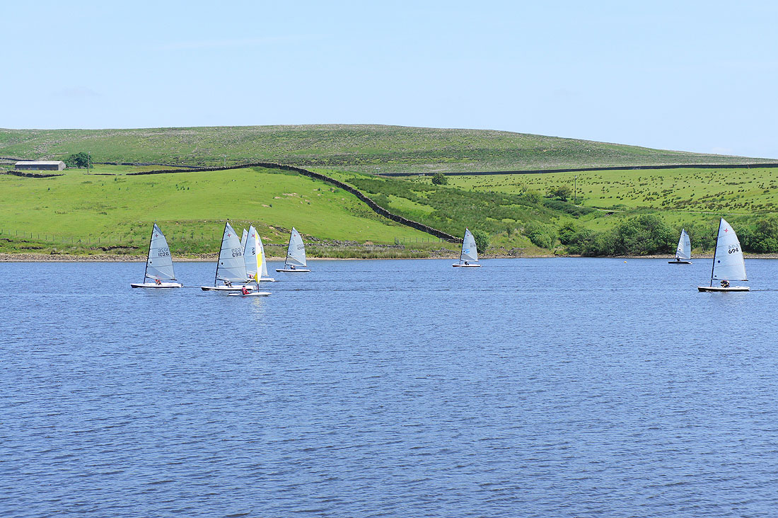
Making the most of the breeze
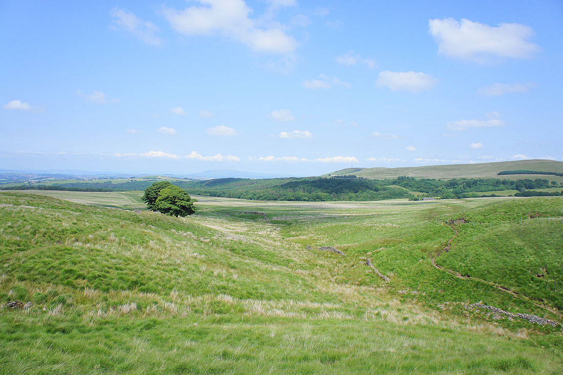
Heading for Hordern Stoops after walking through Belmont
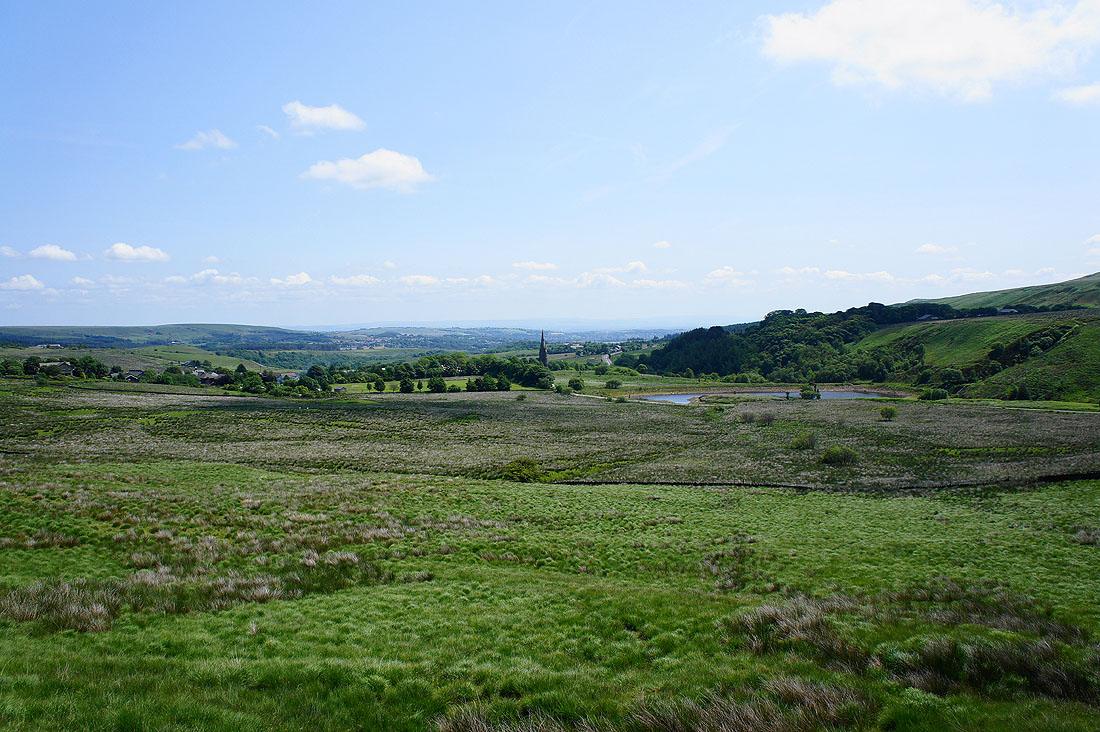
The village of Belmont below with the spire of the church of St. Peter's standing out
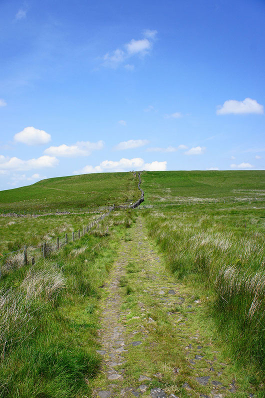
On reaching Hordern Stoops it's uphill again onto Spitlers Edge
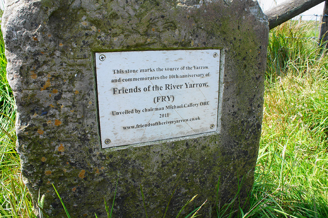
I soon passed this stone that marks the source of the River Yarrow. The Yarrow flows into Yarrow Reservoir and then on to join the River Douglas just before it enters the Ribble.
Looking back to Winter Hill as I head up Spitlers Edge
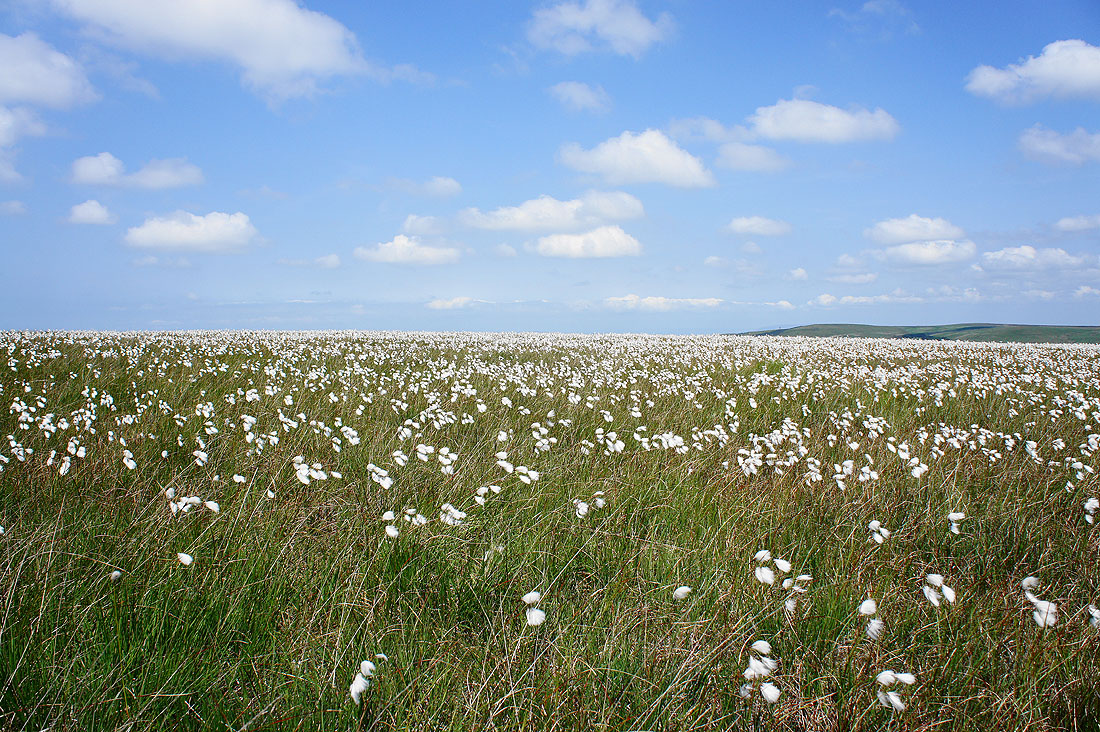
It's a good year for cotton grass..
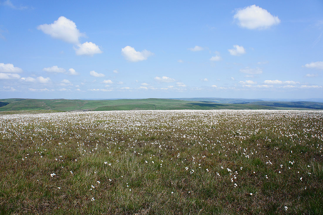
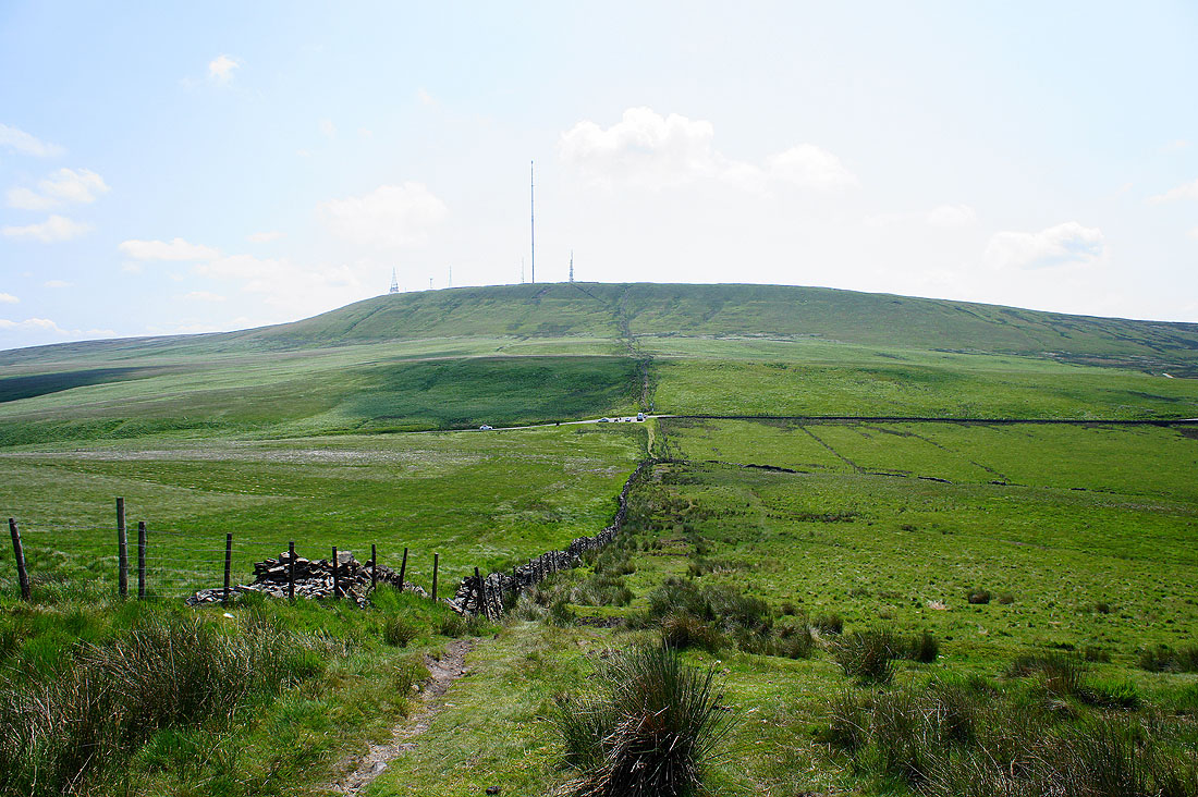
Great Hill ahead from Spitlers Edge
A view across to Darwen Moor as I head for Great Hill
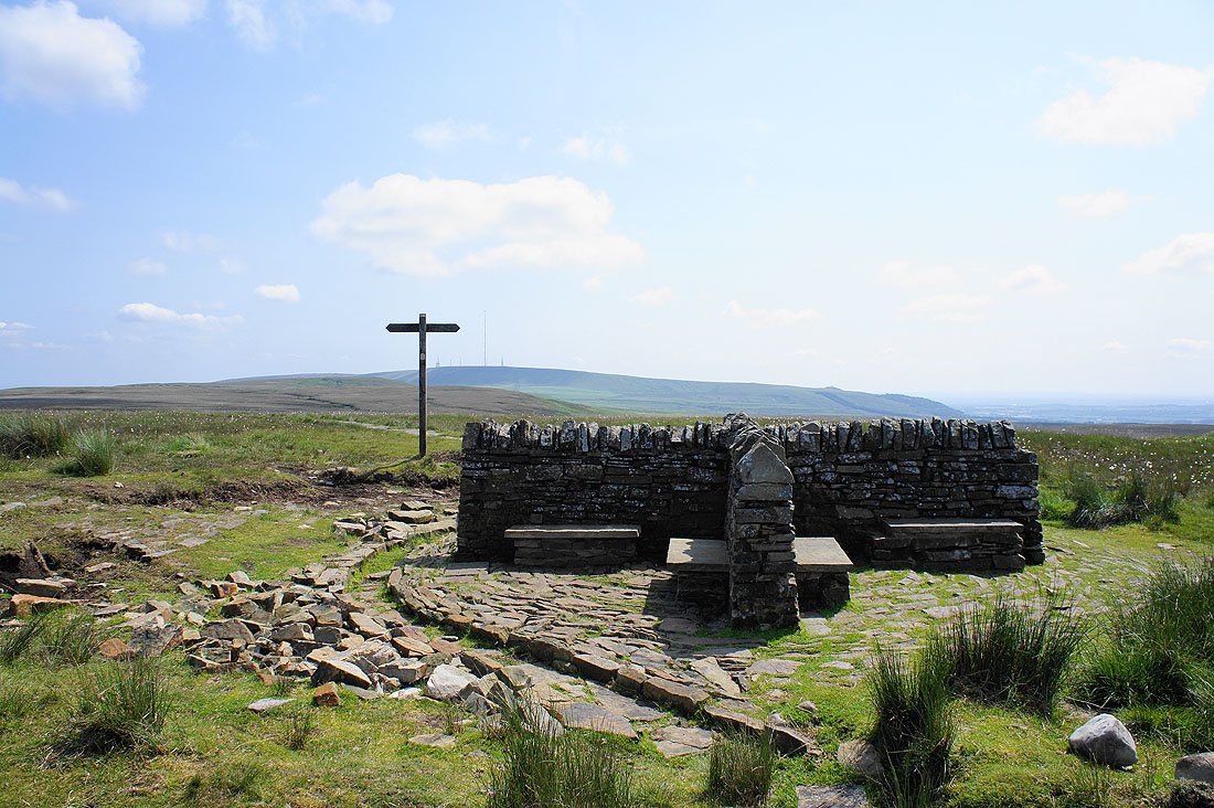
On the summit of Great Hill
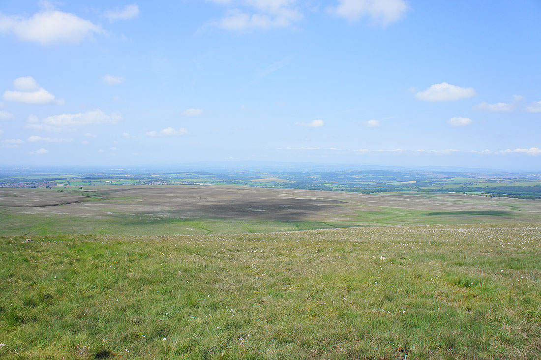
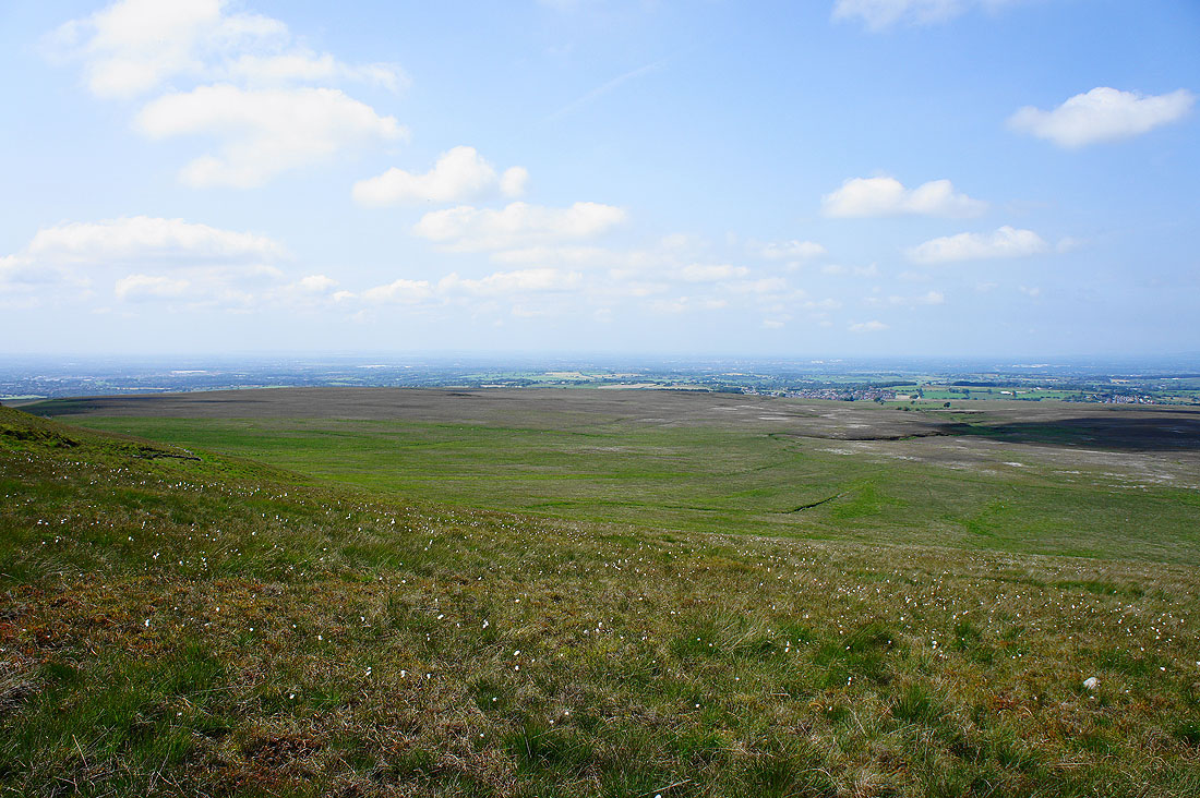
Hazy views today with the heat. The Forest of Bowland just about visible in the distance on the other side of the Ribble Valley.
Pendle Hill and Darwen Moor
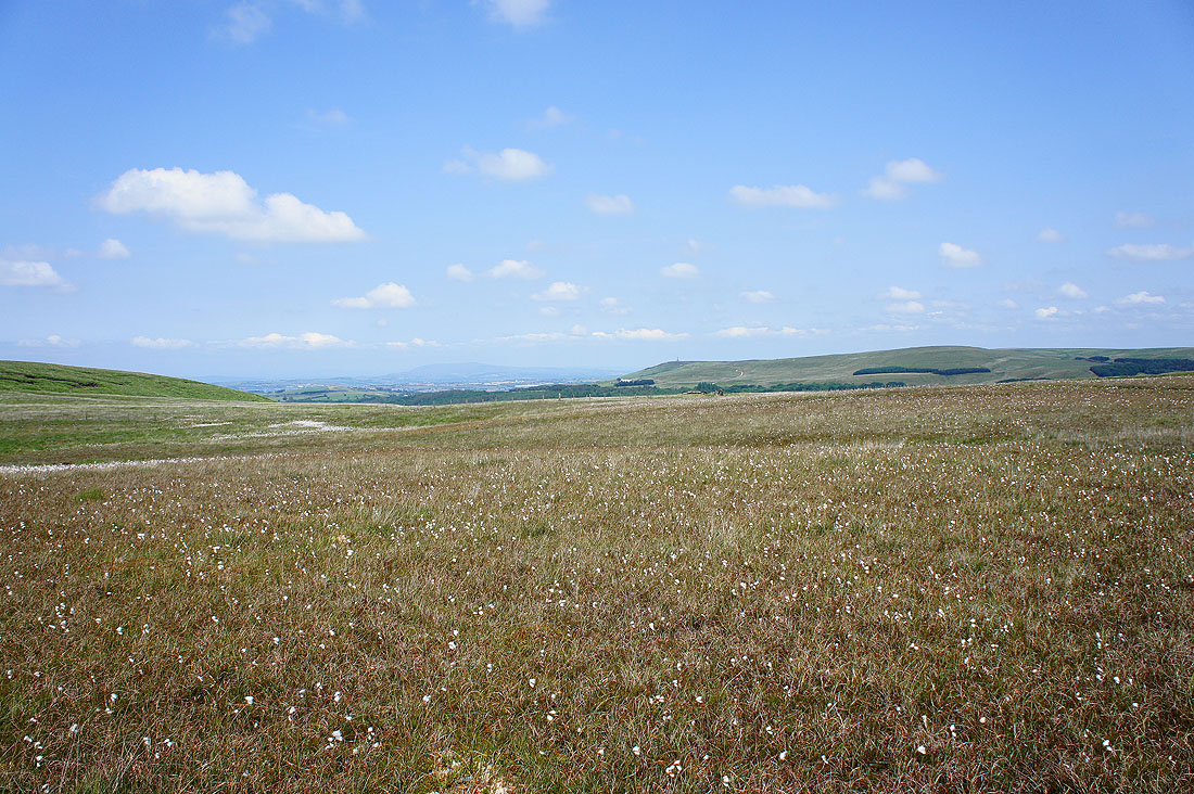
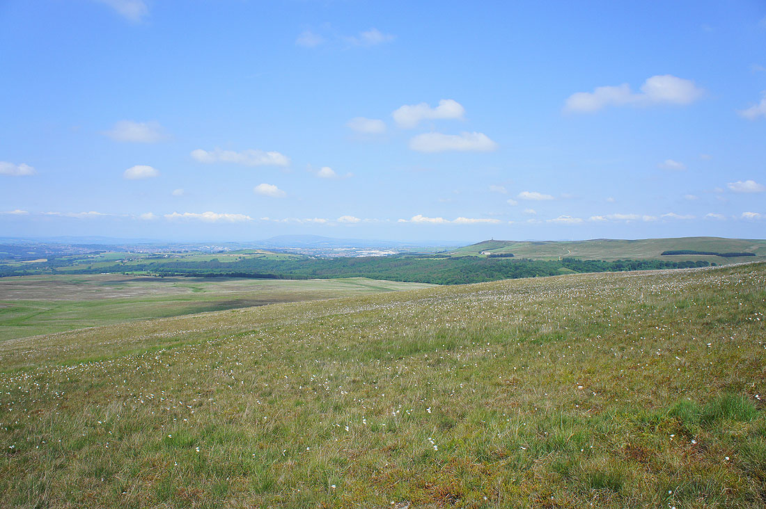
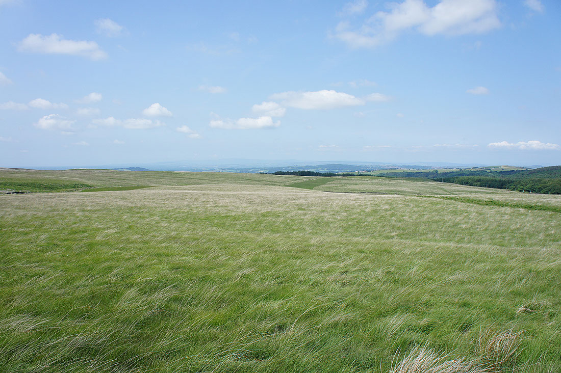
Looking across Wheelton Moor towards the coast
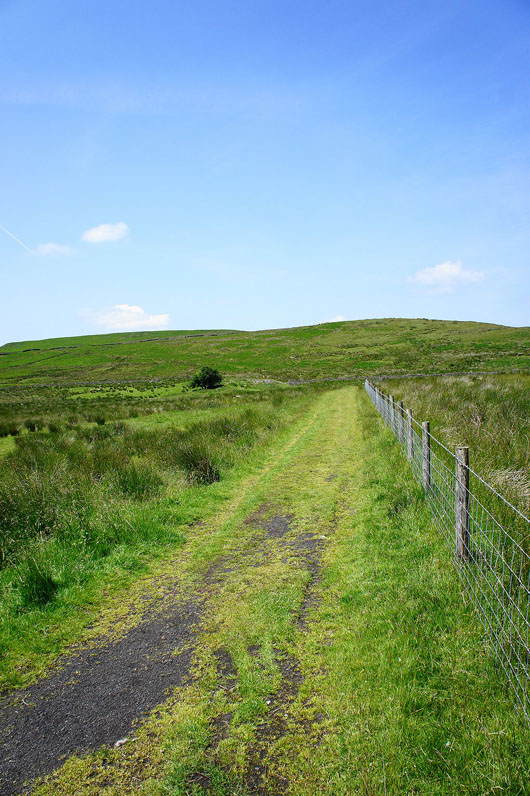
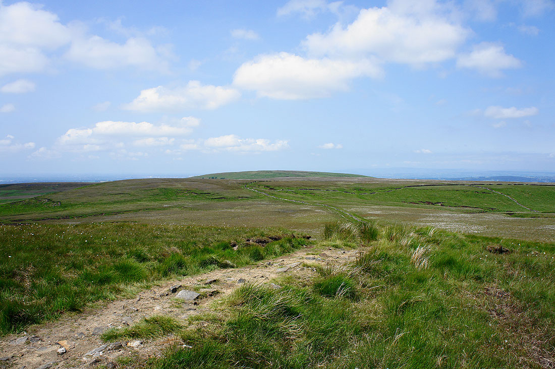
Making my way down from Great Hill to the Belmont Road..
..with great views of the moors to enjoy