7th July 2023 - Ilkley Moor
Walk Details
Distance walked: 13.6 miles
Total ascent: 1888 ft
OS map used: 297 - Lower Wharfedale & Washburn Valley
Time taken: 7 hrs
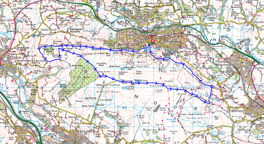
Route description: Ilkley-Wells Road-Millennium Way-Windgate Nick-Nab End-Lightbank Lane-Doubler Stones-Addingham High Moor-West Buck Stones-East Buck Stones-Ilkley Moor-Lanshaw Lad-Twelve Apostles Stone Circle-Burley Moor-Ilkley Crags-White Wells-Ilkley
It's the last weekday of my week off work, and it's a good job that I don't have to rely on decent weather during the weekend for getting out for a walk. I'm not going to get it, the forecast is for some pretty poor conditions. Today is going to be a lovely summer's day though, and to make the most of it I decided to head to Ilkley and do a walk that would traverse the length of the moor from its western end at Nab End to its eastern end above Burley-in-Wharfedale, with paths across the northern slopes of the moor used to leave and return to Ilkley. I've done a slightly shorter version of this route before, back in August 2021, but on this occasion I added the loop round to the Doubler Stones below Addingham High Moor, which added less than a mile to its length. Lots of blue skies and summer sunshine made me want to spend as much time on the moor as I could, the good visibility gave me some great views, and it being a weekday it was pretty quiet.
After parking in the Darwin Memorial Gardens car park on Wells Road I walked west up Wells Roads before turning left onto the lane of Keighley Road up onto Ilkley Moor. I soon left this though for the trail of the Millennium Way. I followed this west across the hillside, past the Swastika Stone and the Noon Stone to Windgate NIck. The trail was left behind here for a footpath down Nab End to Lightbank Lane. I followed the road south and at a sharp right-hand bend left it for a bridleway east across the moor along a driveway to a bungalow. I then took a public footpath north and uphill to the Doubler Stones. After taking lunch here I continued north on the footpath to reach the wall on Addingham High Moor. Once through I turned right and followed a path up to the trig point on Addingham High Moor, then on along the forest boundary to the West and East Buck Stones, and past Whetstone Gate to eventually arrive at the trig point on the top of Ilkley Moor. From the trig point I kept heading east along a flagged path to reach the Lanshaw Lad boundary stone, and the Twelve Apostles Stone Circle. I took the path south from the stone circle, then a track on the left east down Burley Moor past High Lanshaw Dam, Lower Lanshaw Dam and to Carr Bottom Reservoir. Approaching the bottom of the track at the edge of access land, I took a track north below Carr Bottom Reservoir past York View and Crag Top to pick up a footpath west up to Barks Crag. I then followed the path northwest along the edge of the moor past Stead Crag, across Backstone Beck, and then up onto Ilkley Crags. For my return to Ilkley I took the path from Ilkley Crags down past White Wells to reach Wells Road and the car park at the Darwin Gardens.
Total ascent: 1888 ft
OS map used: 297 - Lower Wharfedale & Washburn Valley
Time taken: 7 hrs
Route description: Ilkley-Wells Road-Millennium Way-Windgate Nick-Nab End-Lightbank Lane-Doubler Stones-Addingham High Moor-West Buck Stones-East Buck Stones-Ilkley Moor-Lanshaw Lad-Twelve Apostles Stone Circle-Burley Moor-Ilkley Crags-White Wells-Ilkley
It's the last weekday of my week off work, and it's a good job that I don't have to rely on decent weather during the weekend for getting out for a walk. I'm not going to get it, the forecast is for some pretty poor conditions. Today is going to be a lovely summer's day though, and to make the most of it I decided to head to Ilkley and do a walk that would traverse the length of the moor from its western end at Nab End to its eastern end above Burley-in-Wharfedale, with paths across the northern slopes of the moor used to leave and return to Ilkley. I've done a slightly shorter version of this route before, back in August 2021, but on this occasion I added the loop round to the Doubler Stones below Addingham High Moor, which added less than a mile to its length. Lots of blue skies and summer sunshine made me want to spend as much time on the moor as I could, the good visibility gave me some great views, and it being a weekday it was pretty quiet.
After parking in the Darwin Memorial Gardens car park on Wells Road I walked west up Wells Roads before turning left onto the lane of Keighley Road up onto Ilkley Moor. I soon left this though for the trail of the Millennium Way. I followed this west across the hillside, past the Swastika Stone and the Noon Stone to Windgate NIck. The trail was left behind here for a footpath down Nab End to Lightbank Lane. I followed the road south and at a sharp right-hand bend left it for a bridleway east across the moor along a driveway to a bungalow. I then took a public footpath north and uphill to the Doubler Stones. After taking lunch here I continued north on the footpath to reach the wall on Addingham High Moor. Once through I turned right and followed a path up to the trig point on Addingham High Moor, then on along the forest boundary to the West and East Buck Stones, and past Whetstone Gate to eventually arrive at the trig point on the top of Ilkley Moor. From the trig point I kept heading east along a flagged path to reach the Lanshaw Lad boundary stone, and the Twelve Apostles Stone Circle. I took the path south from the stone circle, then a track on the left east down Burley Moor past High Lanshaw Dam, Lower Lanshaw Dam and to Carr Bottom Reservoir. Approaching the bottom of the track at the edge of access land, I took a track north below Carr Bottom Reservoir past York View and Crag Top to pick up a footpath west up to Barks Crag. I then followed the path northwest along the edge of the moor past Stead Crag, across Backstone Beck, and then up onto Ilkley Crags. For my return to Ilkley I took the path from Ilkley Crags down past White Wells to reach Wells Road and the car park at the Darwin Gardens.
Route map
© Crown copyright. All rights reserved. License number PU 100034184.
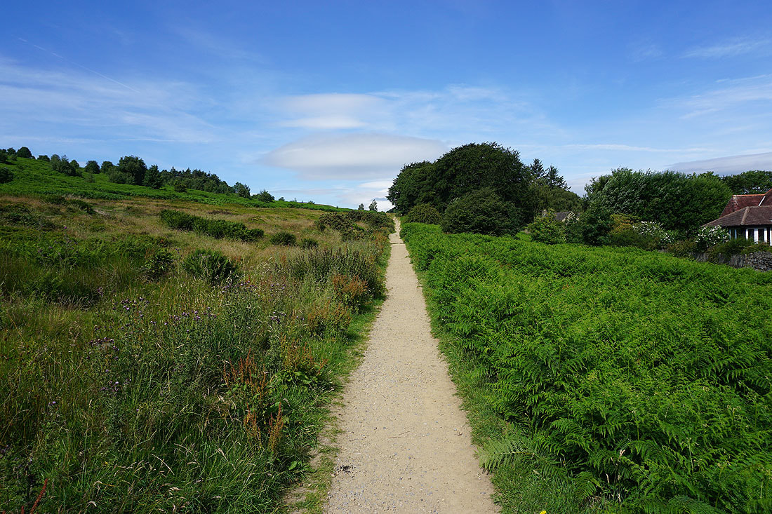
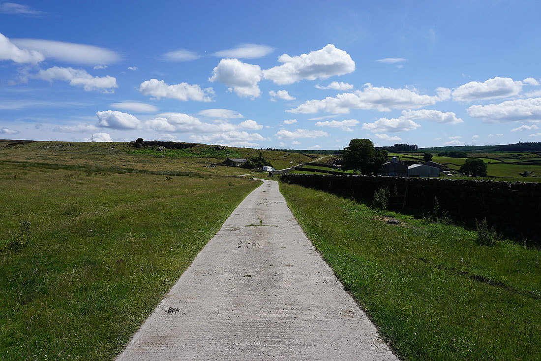
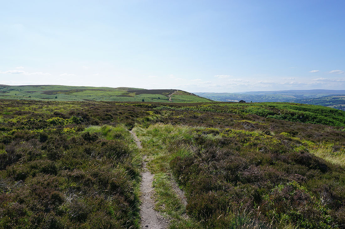
I leave Ilkley behind by taking the Millennium Way west along the side of Ilkley Moor
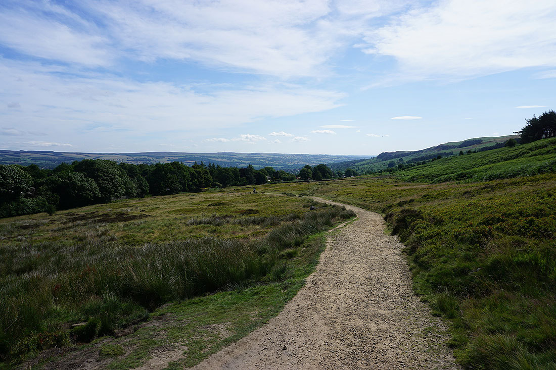
Looking back across the northern slopes of Ilkley Moor
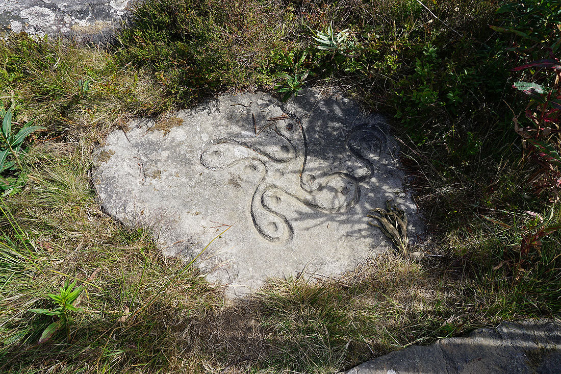
The Swastika Stone
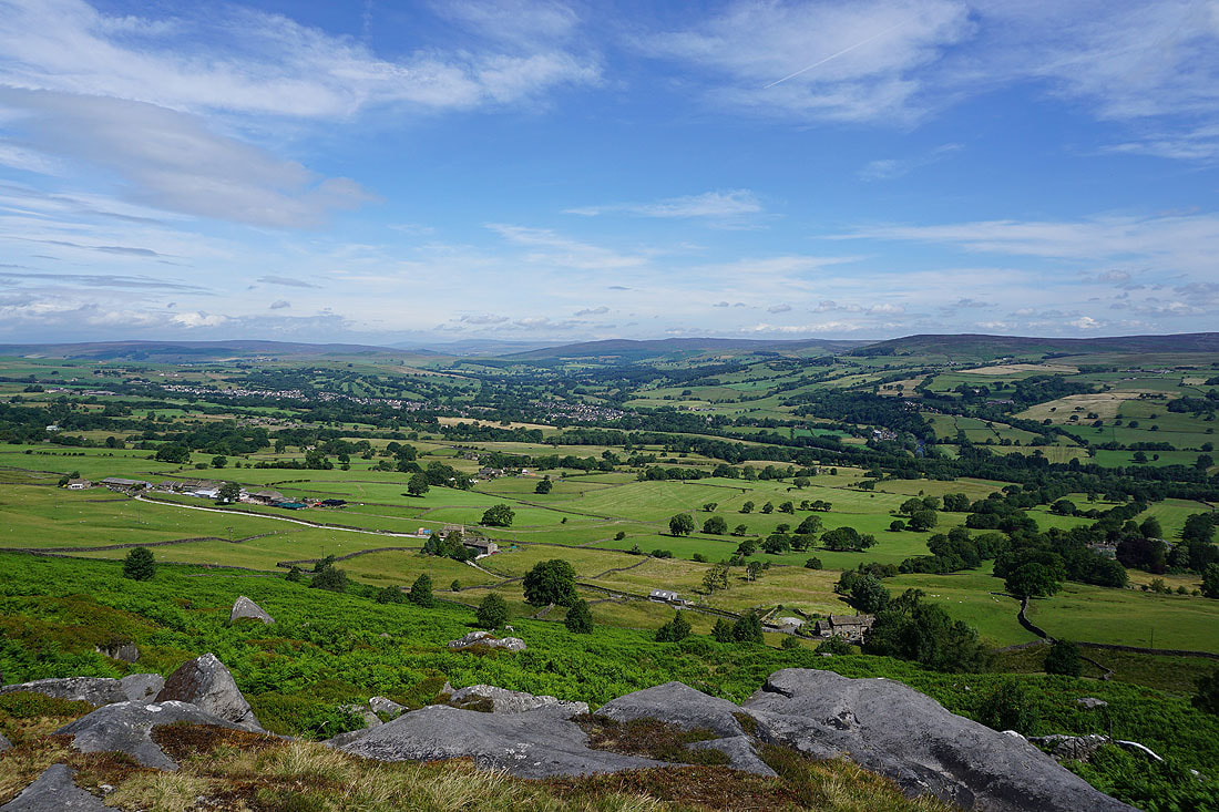
Looking up Wharfedale to a distant Great Whernside from Woodhouse Crag
and a gap in a wall provides a view to Addingham and up Wharfedale
Heading west to Piper's Crag
Looking back to Ilkley from Piper's Crag
Addingham and Wharfedale from Piper's Crag
Addingham High Moor
and looking across to Rivock Edge above Airedale
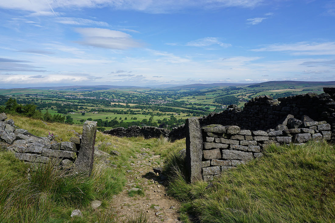
Addingham, Barden Fell, and Beamsley Beacon from Windgate Nick
and looking west past White Crag Plantation to Pendle Hill in the distance
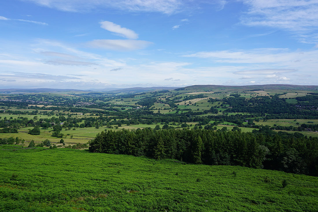
Looking across Airedale to Steeton Moor, Steeton, Keighley Moor, Earl Crag and Silsden from Nab End
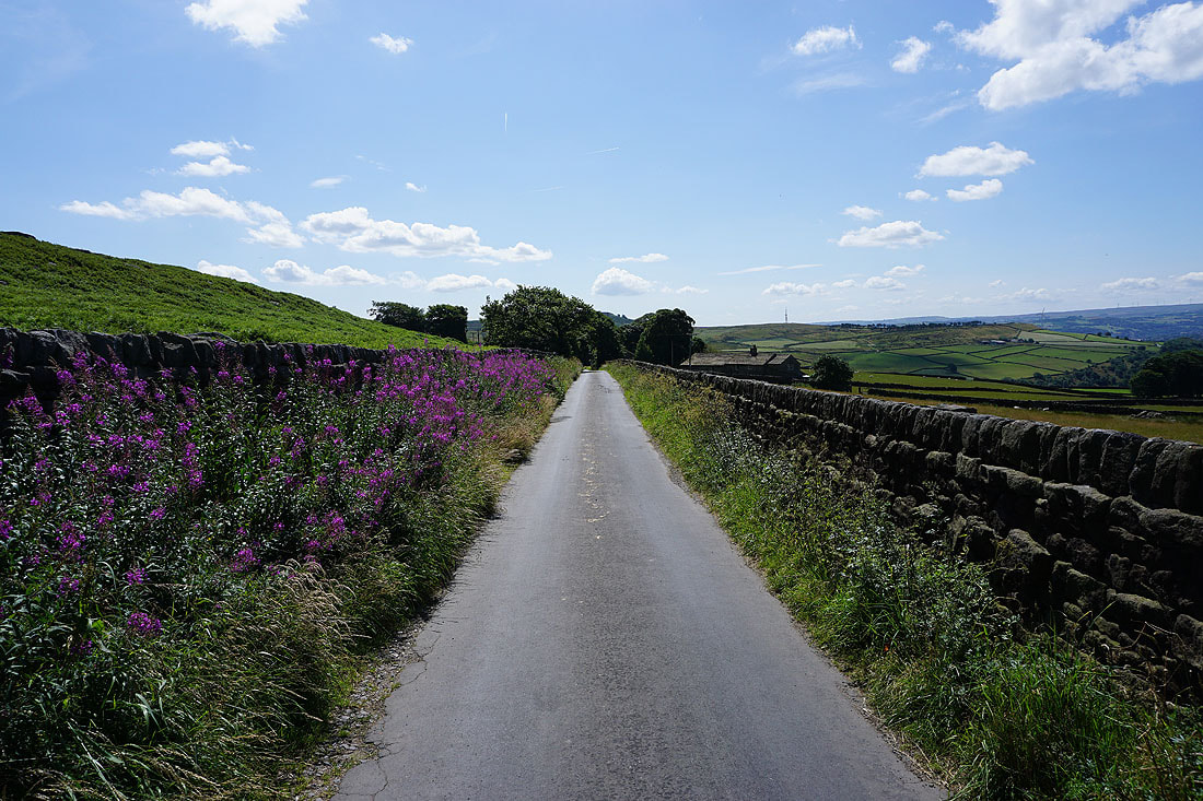
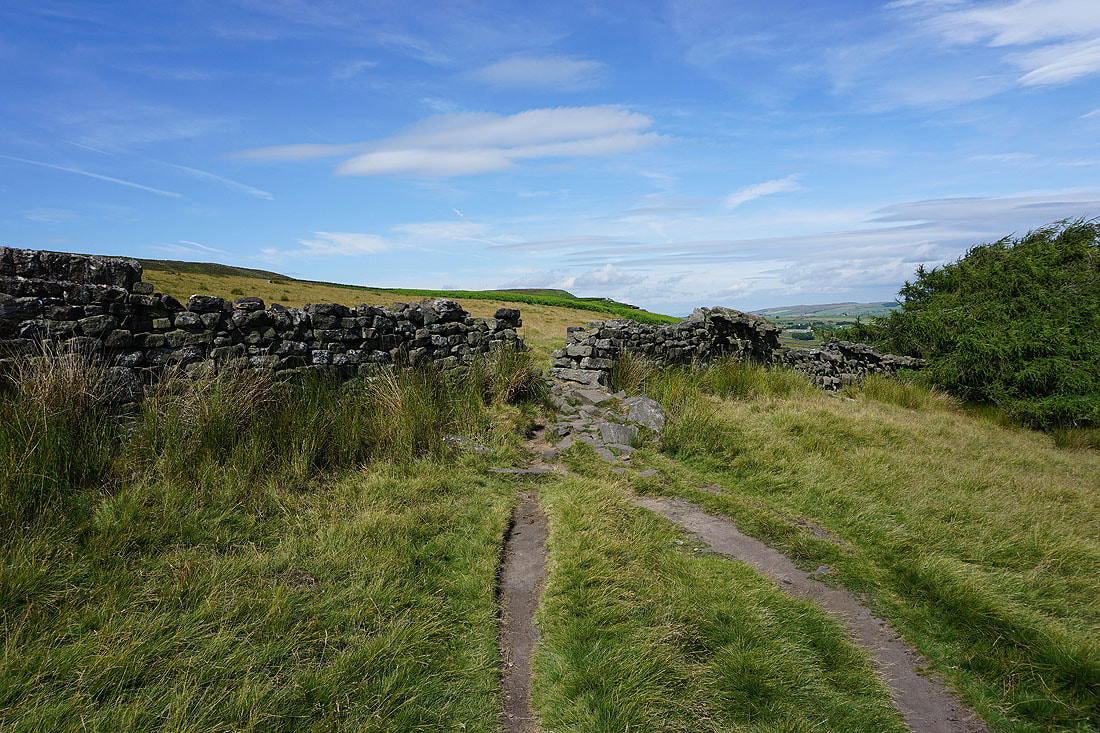
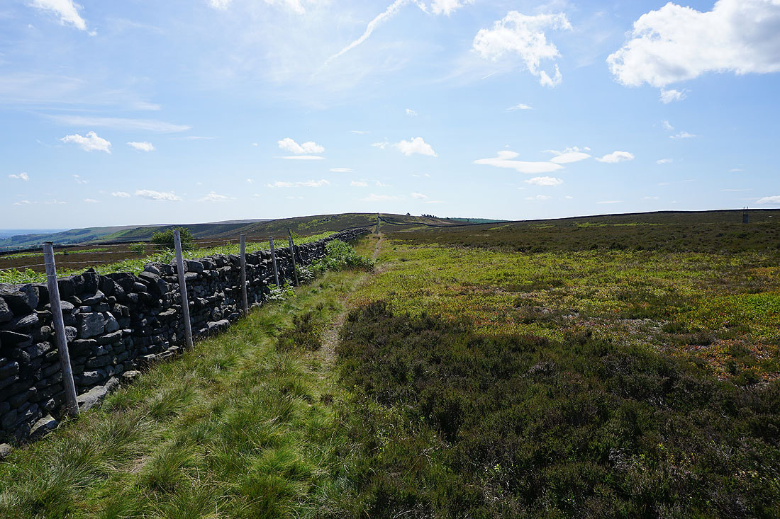
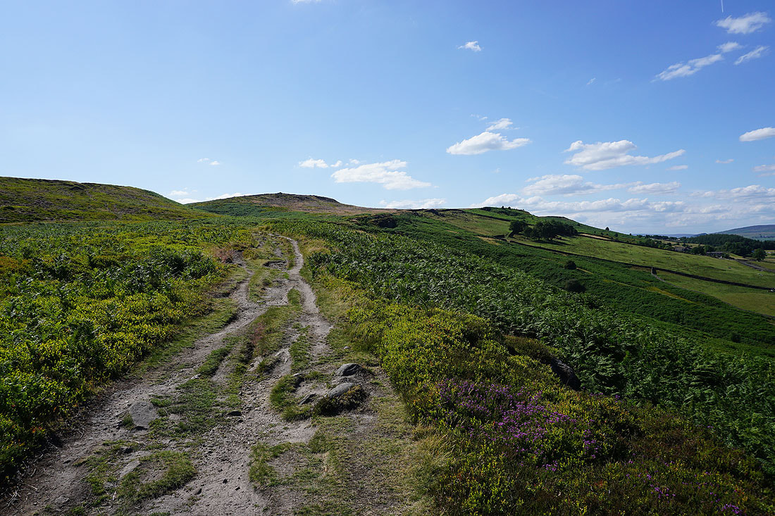
Having descended from Nab End I walk south along Lightbank Lane
Looking across Airedale from Lightbank Lane
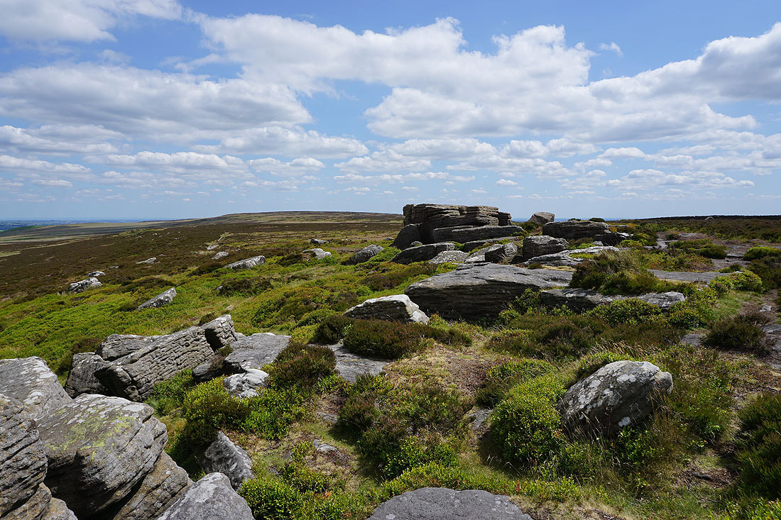
On the bridleway to Black Pots. The Doubler Stones are on the hillside just ahead.
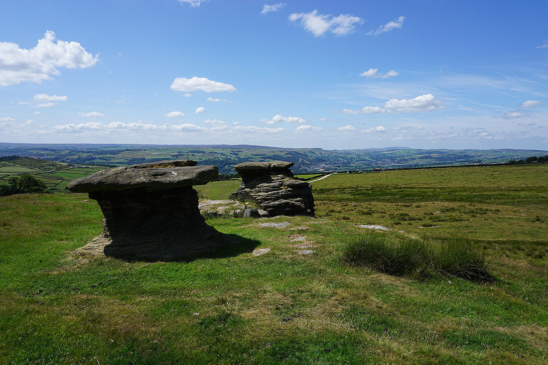
At the Doubler Stones, my lunch stop. A hard cap of gritstone has protected softer sandstone underneath from erosion.
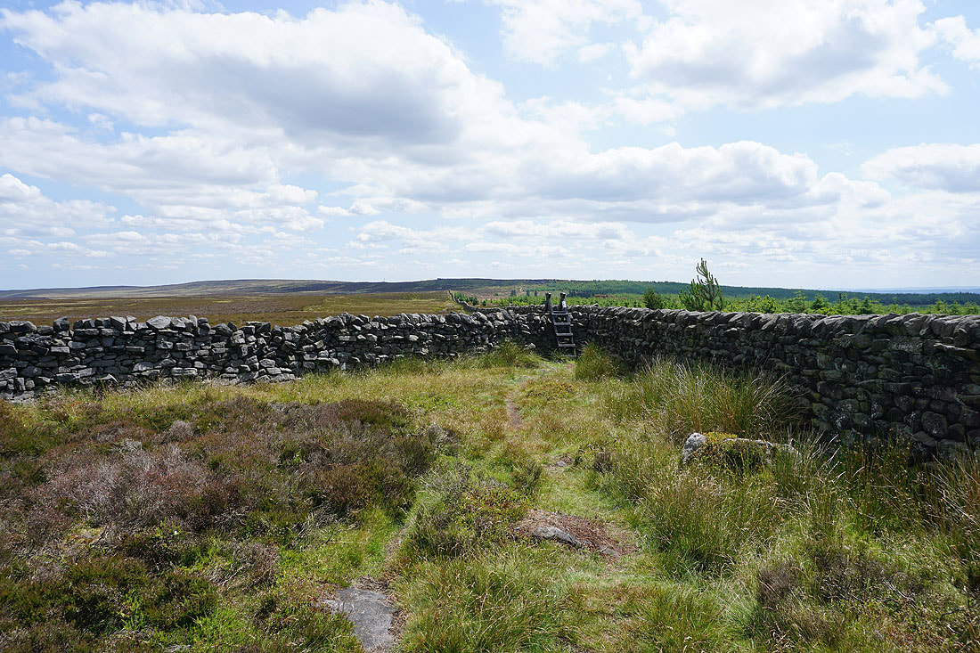
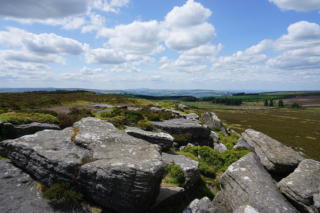
From the Doubler Stones I head up onto Addingham High Moor, and then up to the trig point on Addingham High Moor
Barden Moor, Buckden Pike, Great Whernside, Addingham, Barden Fell, and Beamsley Beacon from Addingham High Moor
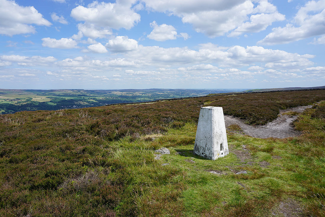
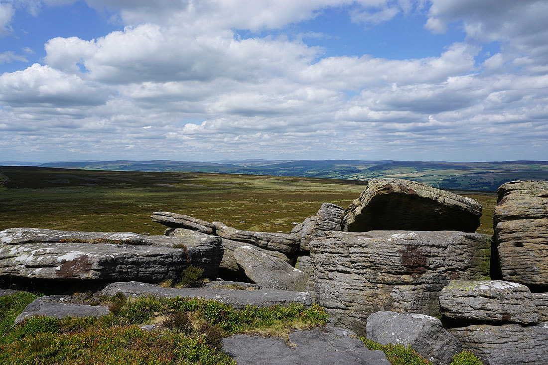
At the trig point on Addingham High Moor
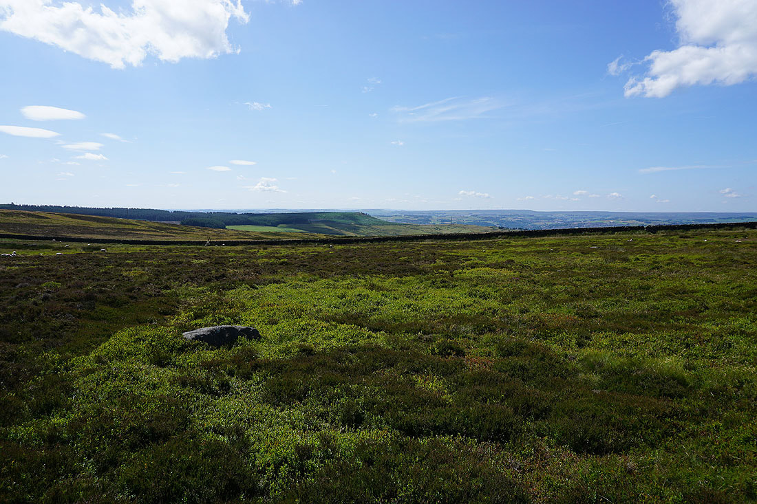
Looking west across Airedale and I can make out Pendle Hill in the distance
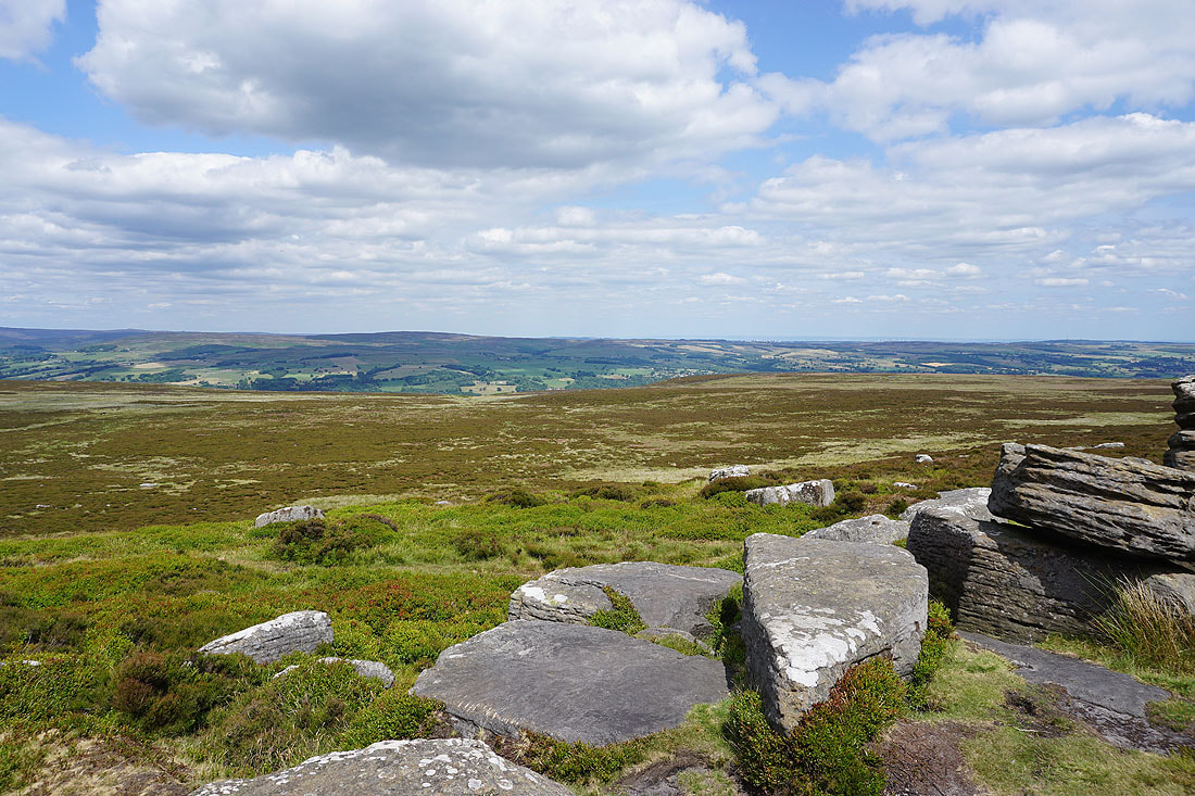
Heading for West Buck Stones
On West Buck Stones
..and on East Buck Stones
Ickornshaw Moor, Earl Crag, Pendle Hill and the moors around Lothersdale from East Buck Stones
Looking up Wharfedale to Barden Moor, Buckden Pike, Great Whernside, and Barden Fell
and across to Beamsley Beacon, Round Hill, Denton Moor, and Askwith Moor
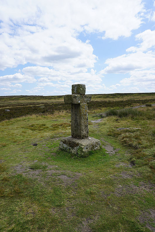
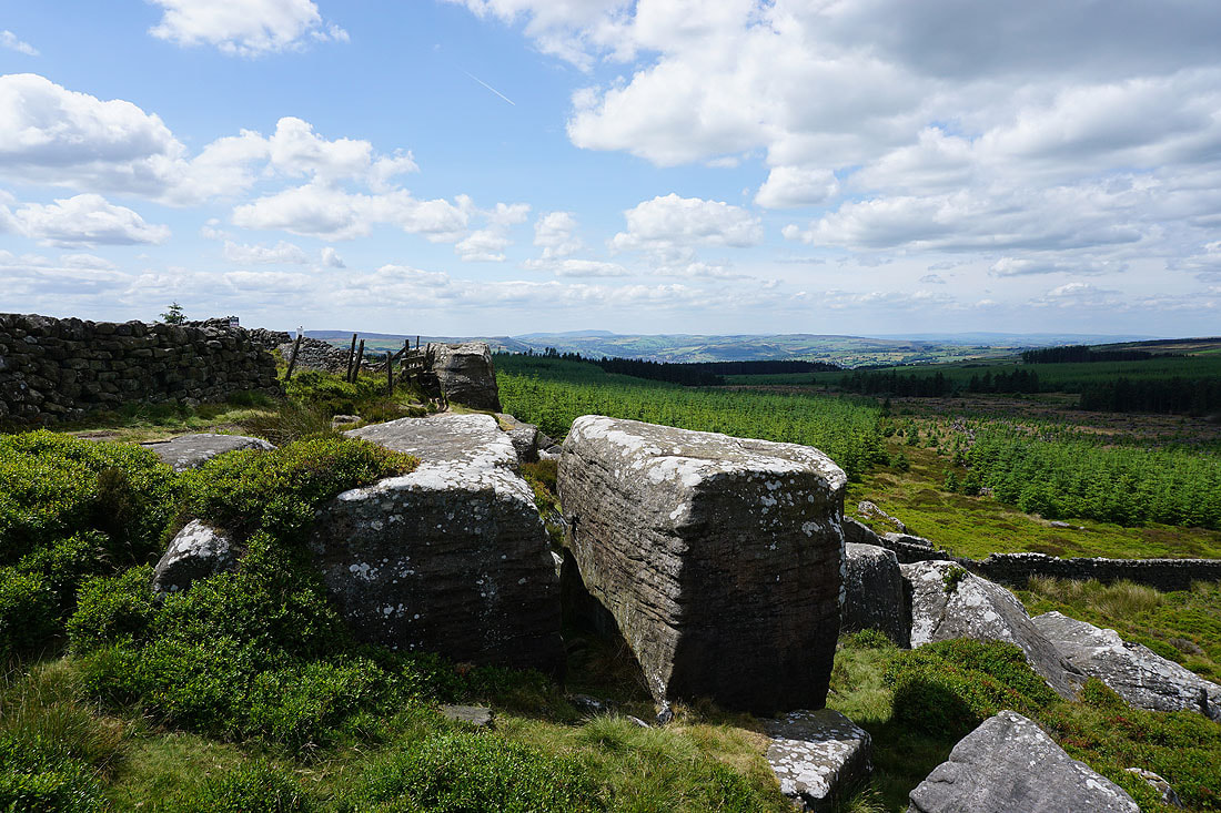
From East Buck Stones I've followed a path to Cowper's Cross
Heading across Ilkley Moor to the Thimble Stones
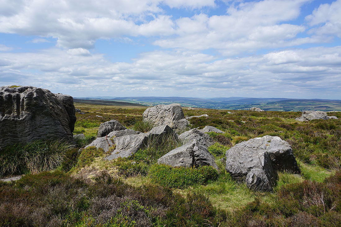
Looking through the Thimble Stones across Ilkley Moor
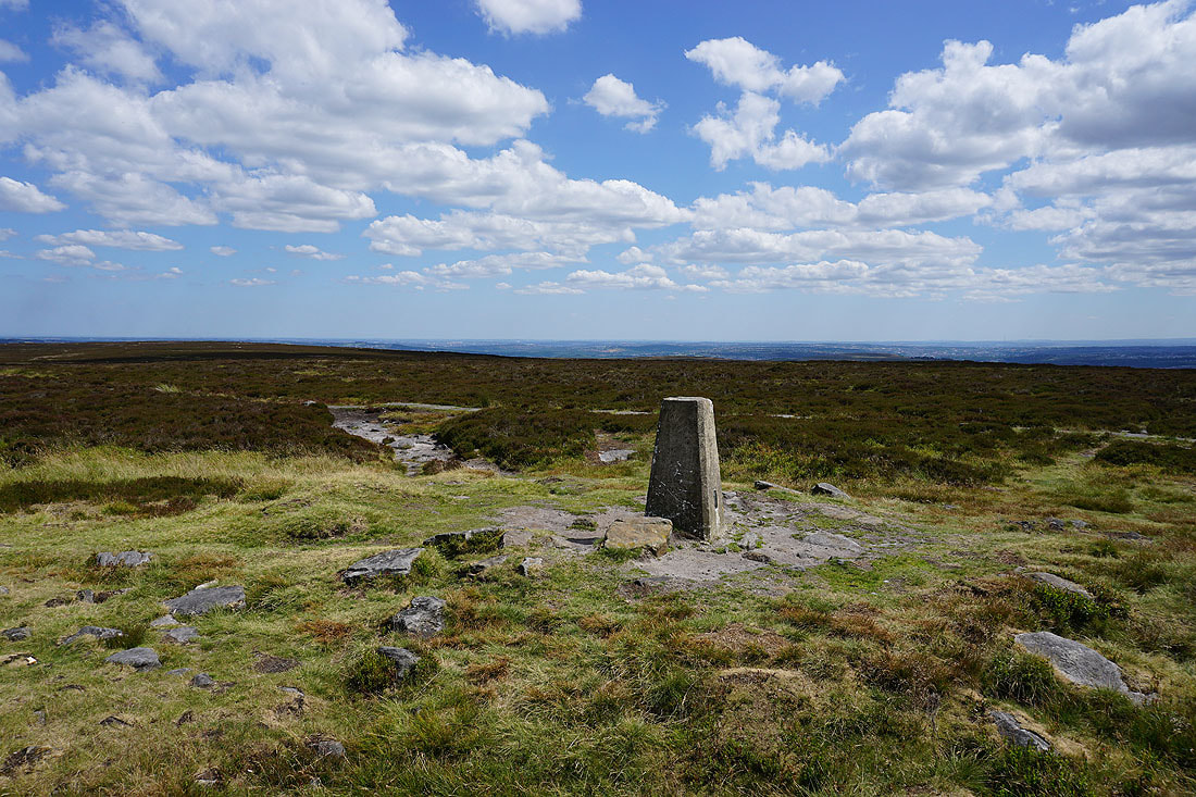
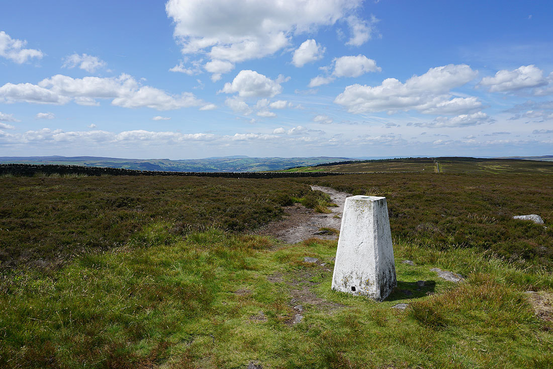
At the trig point on Ilkley Moor
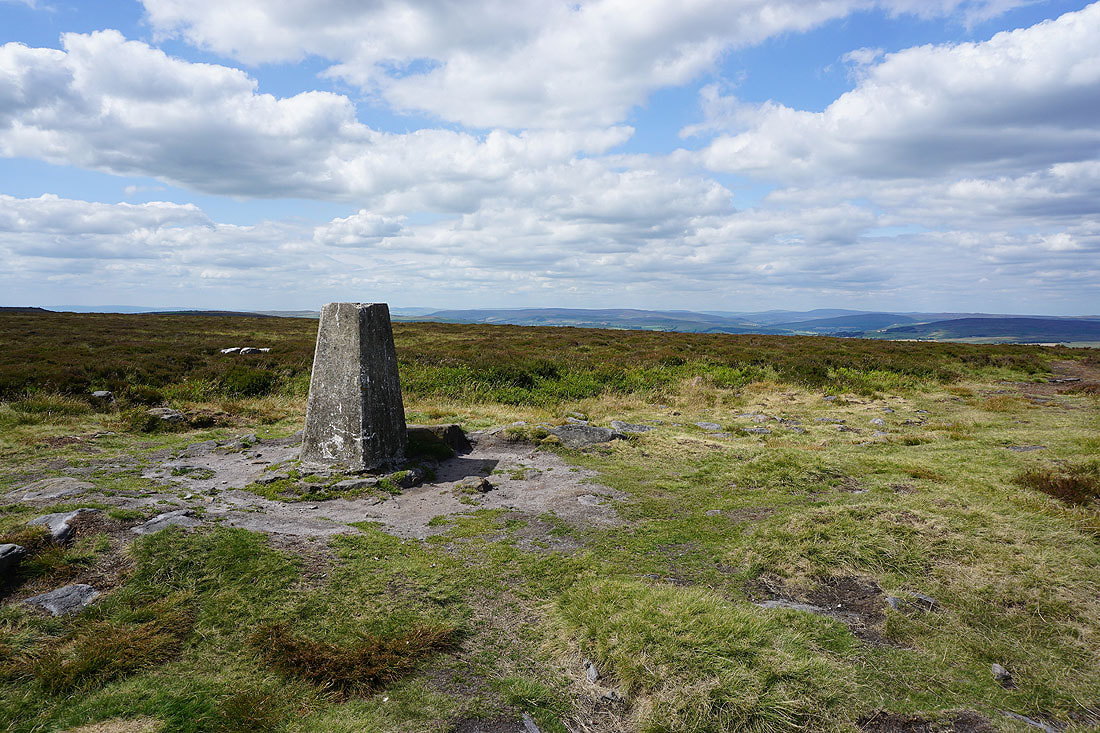
Barden Moor in the distance to the northwest
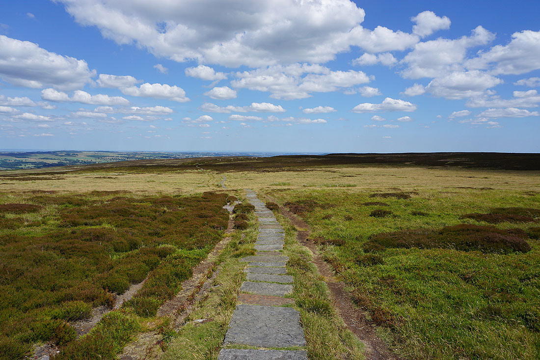
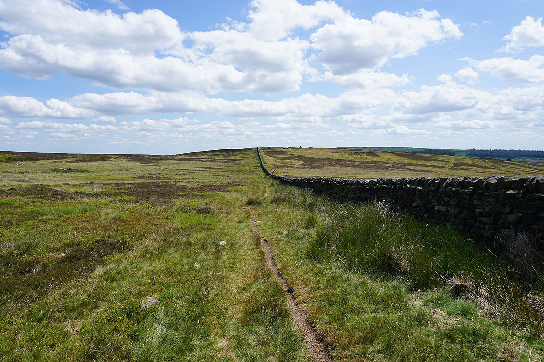
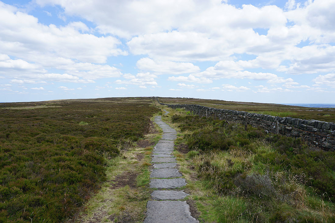
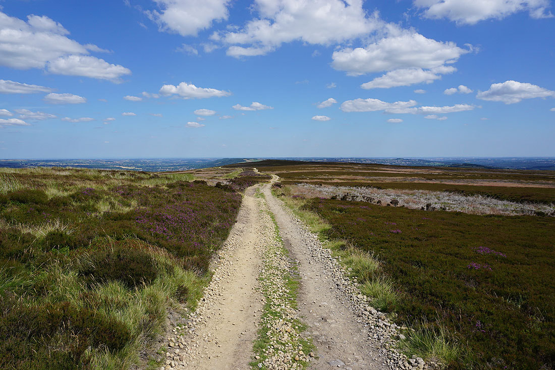
The trig point is left for the path east across Ilkley Moor
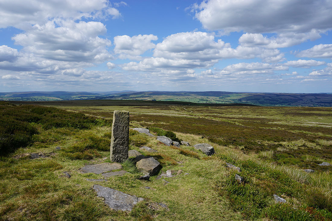
At the boundary stone of Lanshaw Lad
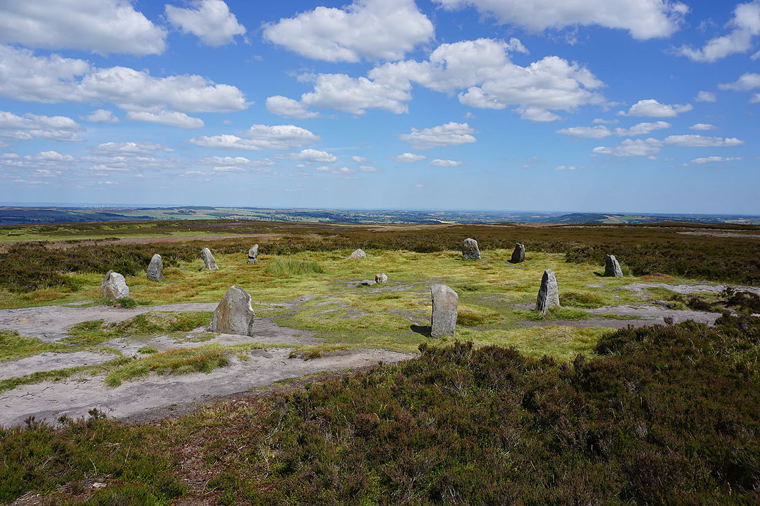
and the Twelve Apostles stone circle
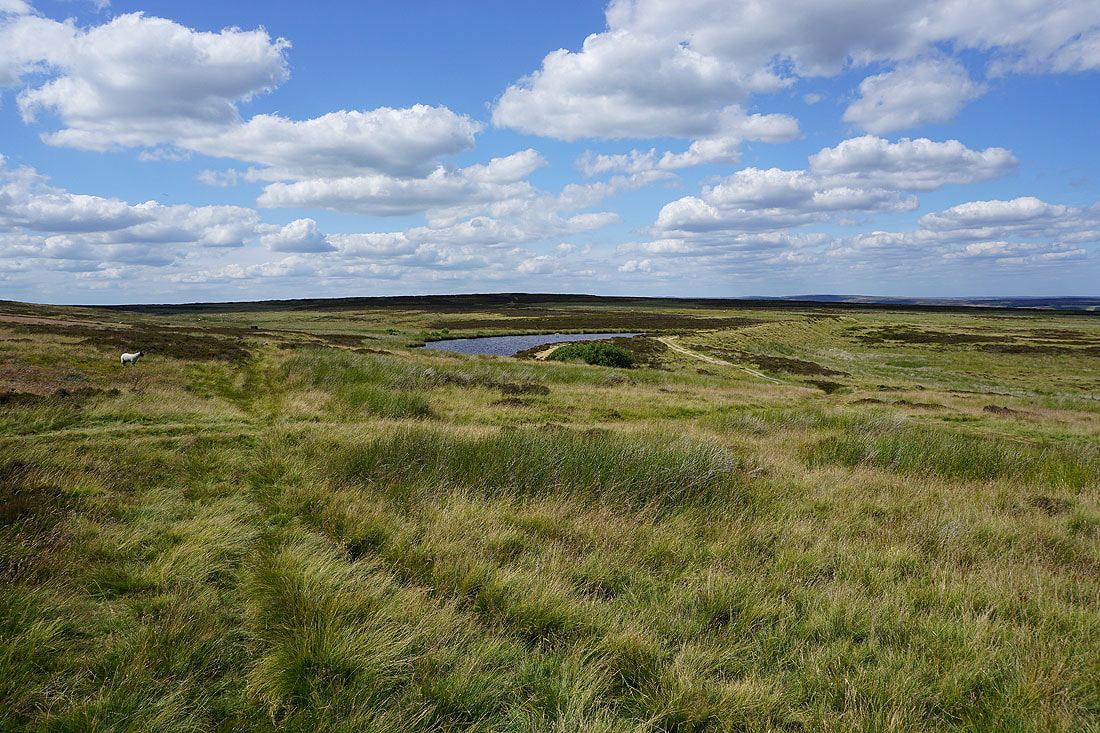
Following the track east to Burley Moor and past High Lanshaw Dam...
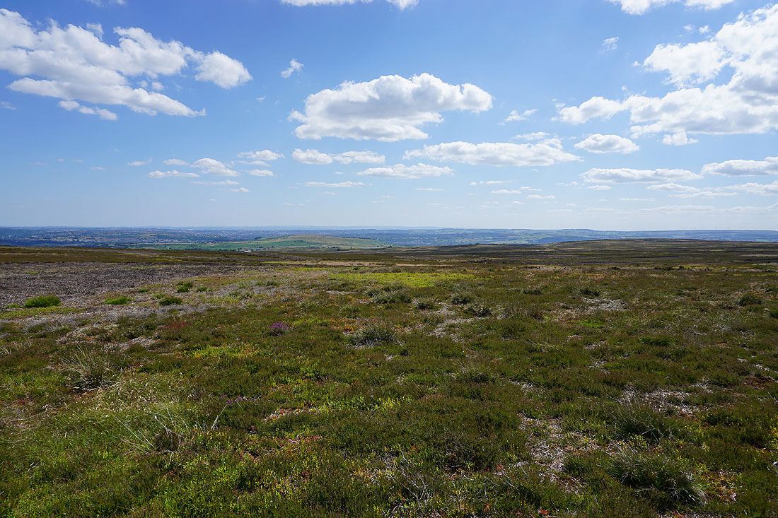
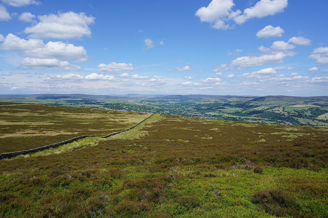
The visibility is really good today and I can see a long way to the south across the conurbations of West Yorkshire
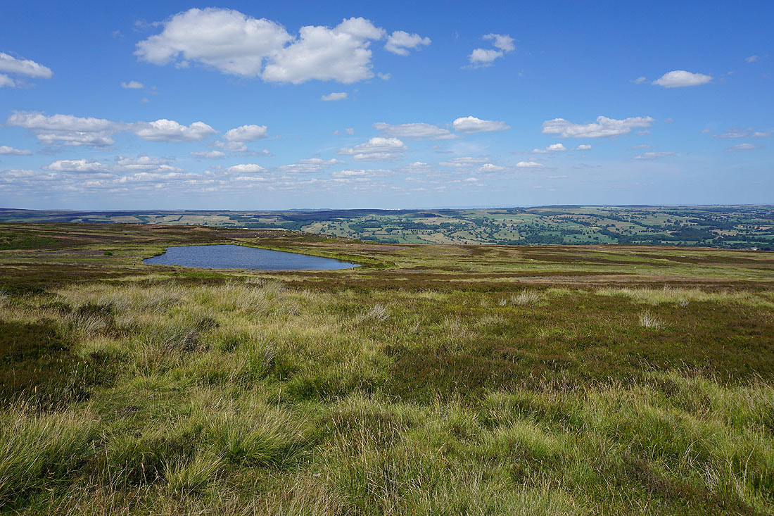
Lower Lanshaw Dam
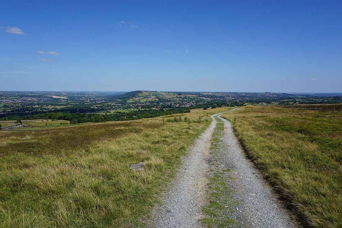
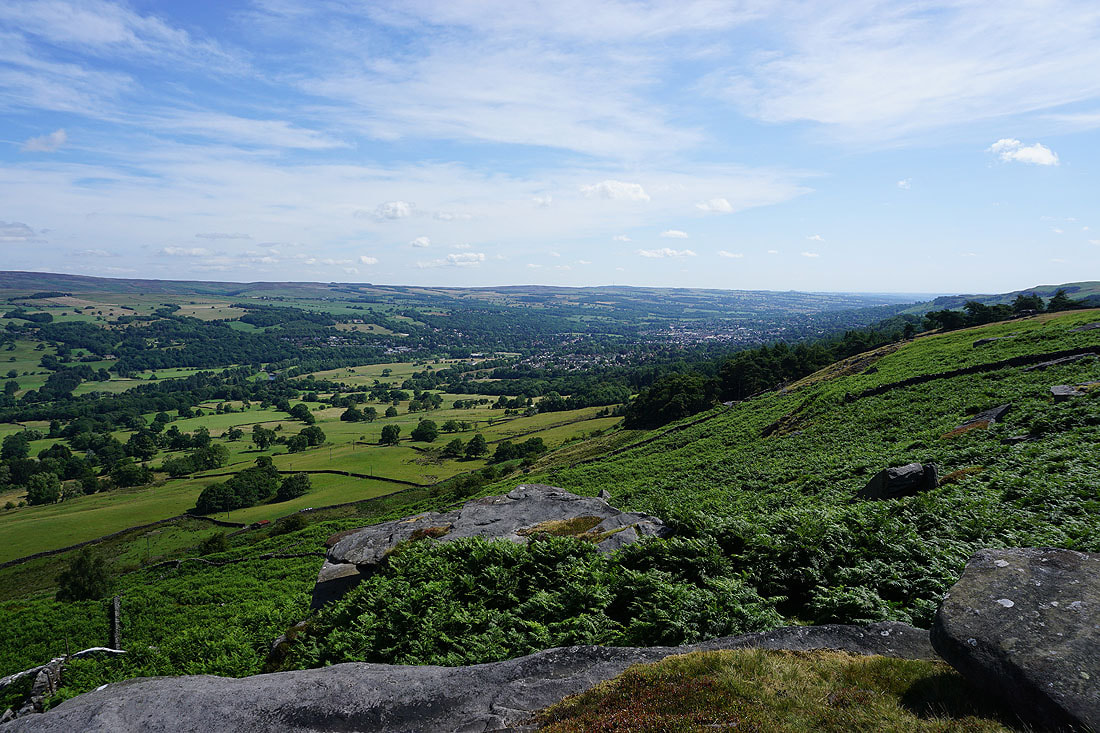
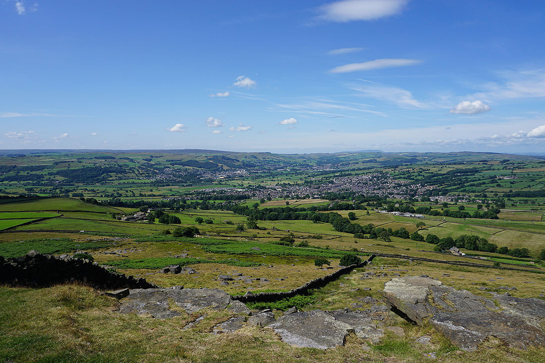
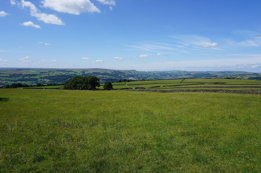
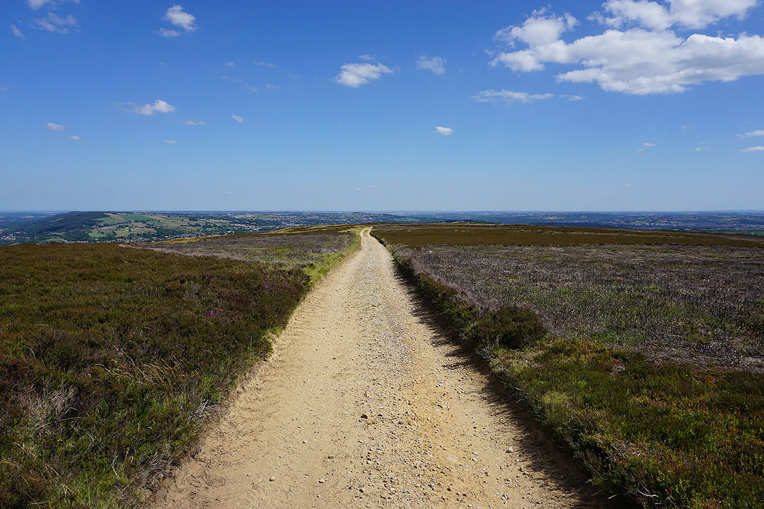
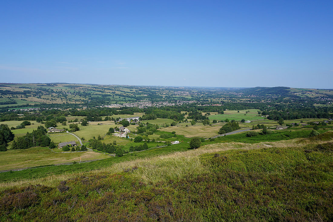
Reaching the eastern end of Burley Moor with The Chevin and the village of Menston below
Burley-in-Wharfedale, Otley, and The Chevin
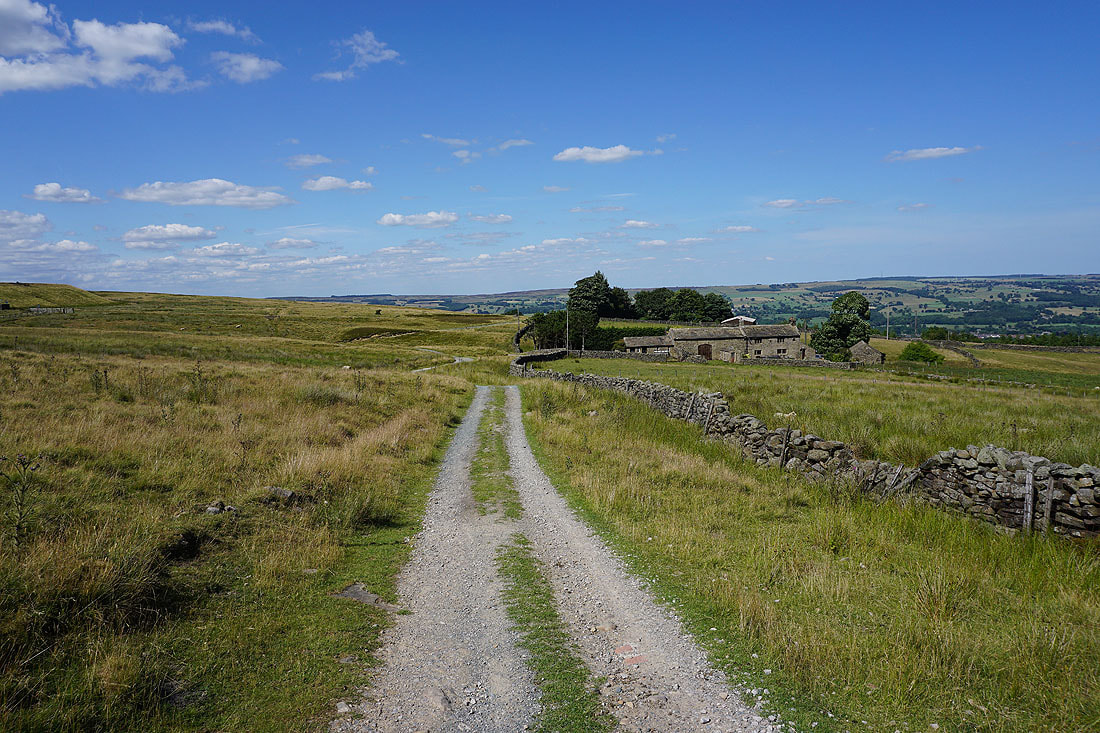
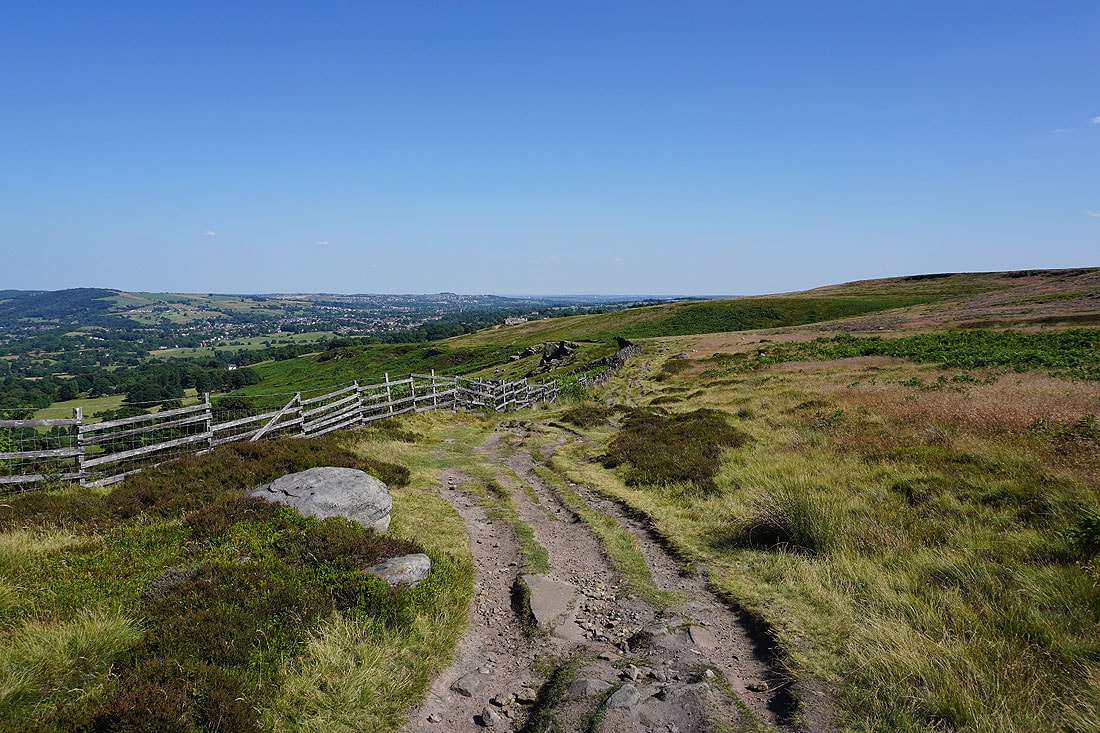
Following the track north along the edge of access land to Barks Crag
From Barks Crag I take the path northwest along the edge of the moor
Looking back along the edge of the moor
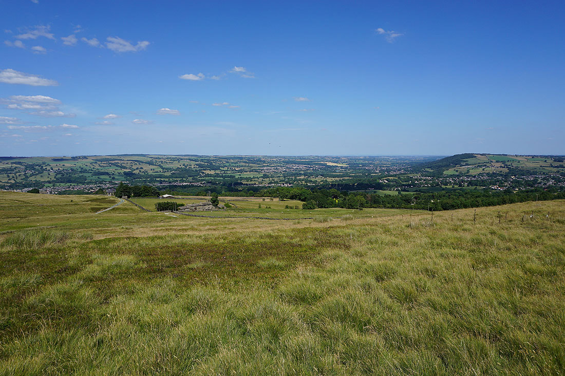
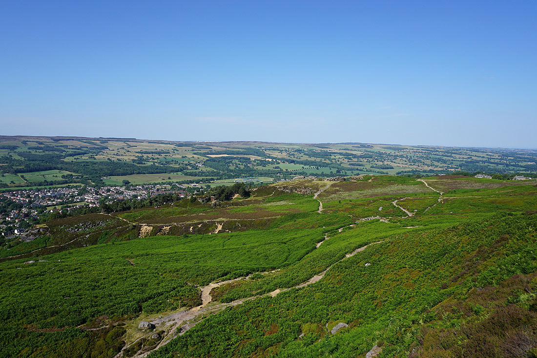
Burley-in-Wharfedale below
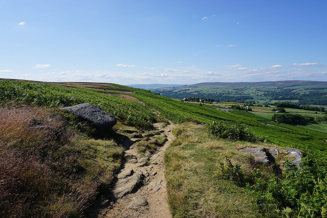
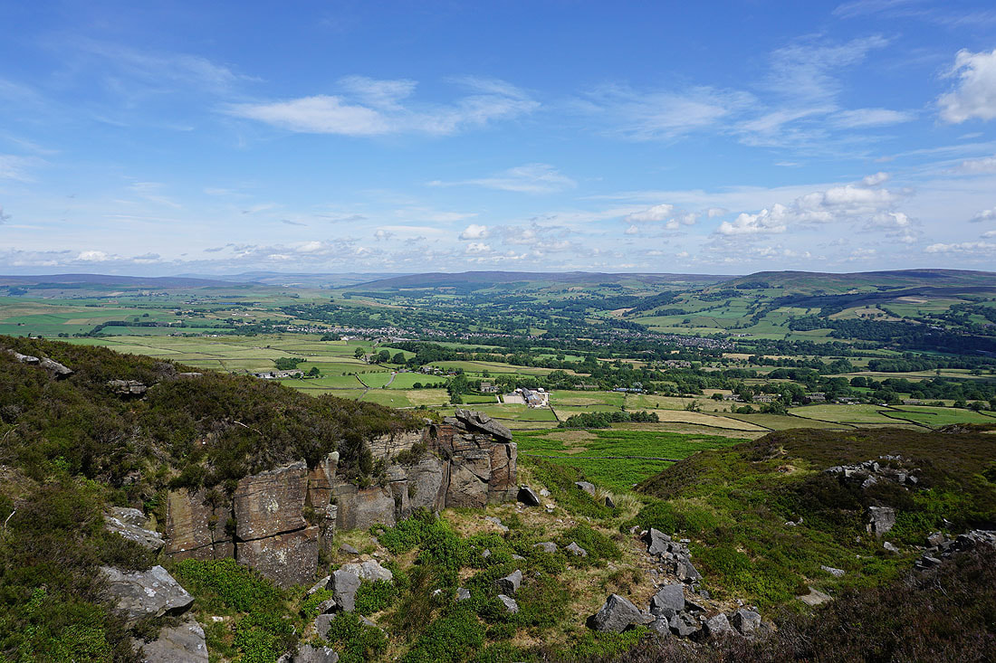
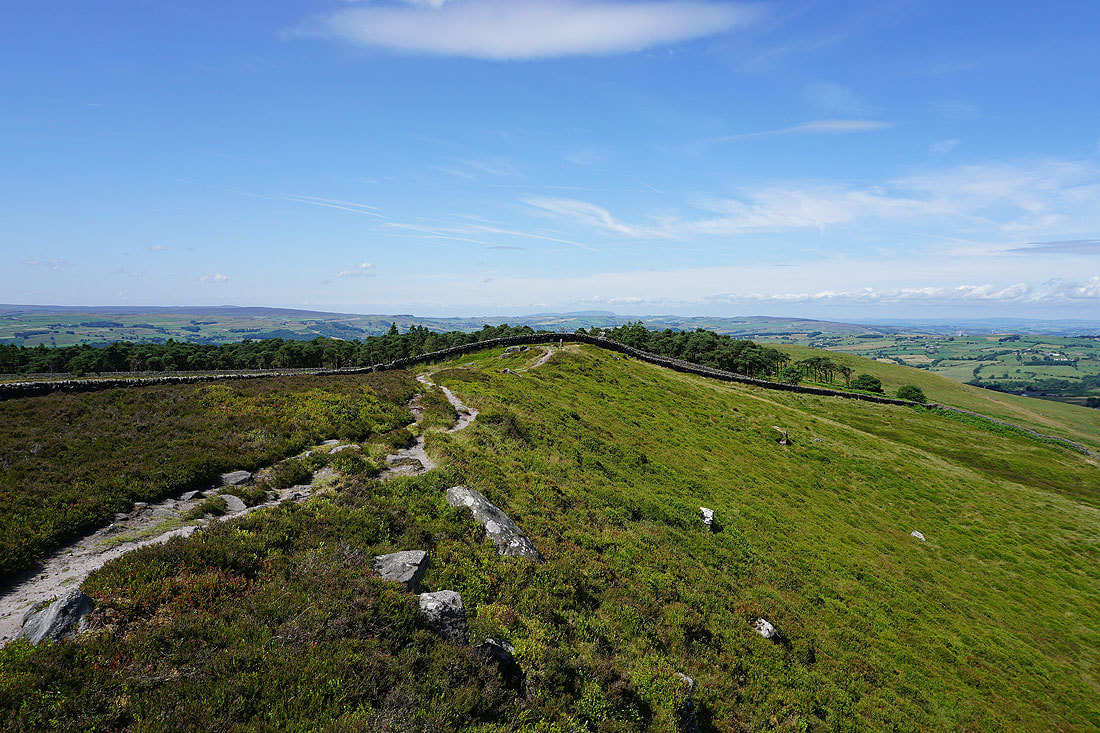
Making my way along the edge of the moor to Ilkley Crags..
Looking towards the Cow and Calf from the top of Ilkley Crags
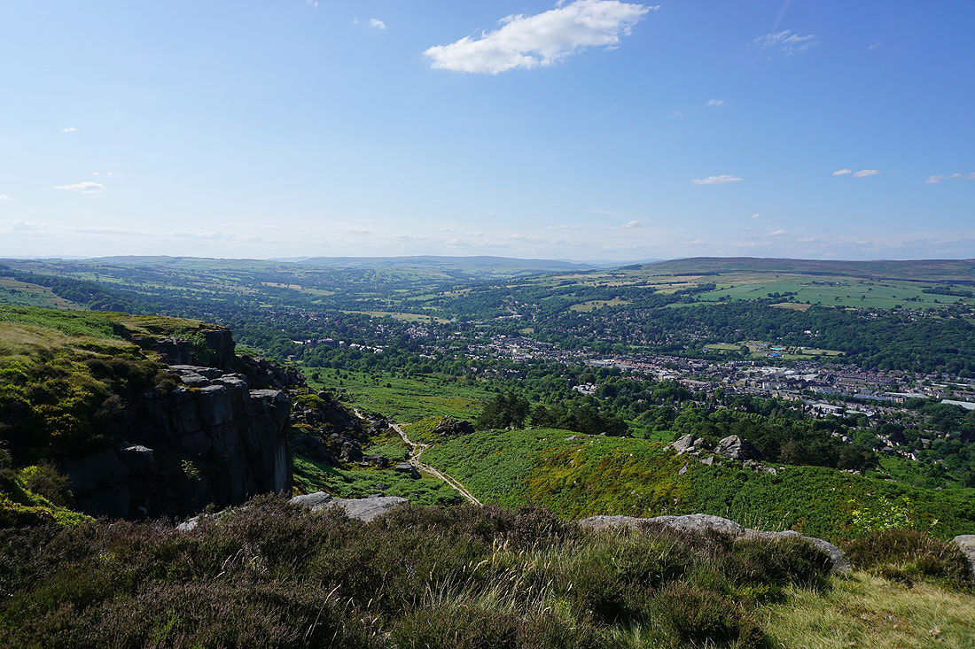
A final shot of Wharfedale and Ilkley from Ilkley Crags