7th June 2015 - The long way to Bride Stones Moor
Walk Details
Distance walked: 12.9 miles
Total ascent: 1824 ft
OS map used: OL21 - South Pennines
Time taken: 7 hrs
Route description: Heptonstall-Town Gate-Smithwell Lane-Calderdale Way-Hebble Hole bridge-Jack Bridge-New Road-Land Farm-Moor Lane-Dukes Cut-Kebs Road-Eastwood Road-Bride Stones Moor-Calderdale Way-Todmorden Centenary Way-Great Rock-Calderdale Way-Hippins Bridge-Hippins-Blackshaw Royd-Den Farm-Lower Rawtonstall-Green House-Badger Lane-Hebble Hole bridge-Calderdale Way- Heptonstall
I certainly picked the right sort of day to do this walk. After working this route out a few weeks ago I knew that I'd need a fine summers day to make the most of the Pennine scenery and while there was still a strong breeze today it wasn't the gale that was blowing yesterday. The second half of the walk was lovely as it gradually became sunnier and warmer during the afternoon plus I was treated to some great views across Calderdale.
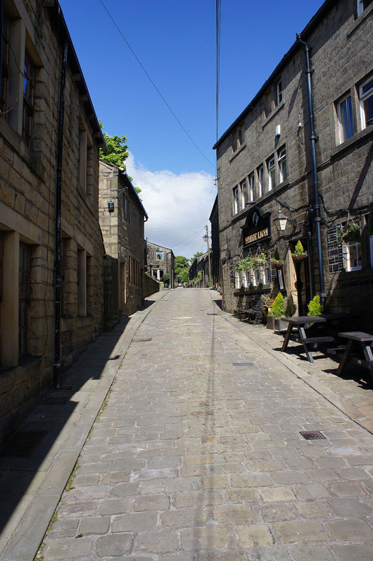
From the lower car park in Heptonstall I made my way to the centre of the village and up Town Gate and Smithwell Lane. I left Smithwell Lane for a footpath on the left which was a short cut to the Calderdale Way which took me to Hebble Hole bridge. After crossing the bridge I followed a bridleway to Jack Bridge in Colden and then the track of New Road up the valley past Lower and Higher Strines farms to Field Head Farm. Above Field Head Farm there's a crossroads of paths, here I turned right to head down to Land Farm and then uphill opposite a gateway on a path over to a lane at Rodmer Clough. I followed the lane uphill, the path of Moor Lane and then the track of Dukes Cut across the moorland to reach Kebs Road. Across Kebs Road and a path brought me to Eastwood Road and then finally to Bride Stones Moor. After having lunch, time to head back. I made my way down to the Calderdale Way and east across the moorside, then along the Todmorden Centenary Way to cross Upper Lane and then to Eastwood Road and Great Rock. On the Calderdale Way again to Hippins Bridge, on the other side of the bridge I took the path past Hippins Farm then to Blackshaw Royd. I then followed the bridleway to Lower Rawtonstall and Green House, a path across Badger Lane and around the hill above Colden Clough to Hebble Hole Bridge. From here the Calderdale Way was followed back to Heptonstall.
Total ascent: 1824 ft
OS map used: OL21 - South Pennines
Time taken: 7 hrs
Route description: Heptonstall-Town Gate-Smithwell Lane-Calderdale Way-Hebble Hole bridge-Jack Bridge-New Road-Land Farm-Moor Lane-Dukes Cut-Kebs Road-Eastwood Road-Bride Stones Moor-Calderdale Way-Todmorden Centenary Way-Great Rock-Calderdale Way-Hippins Bridge-Hippins-Blackshaw Royd-Den Farm-Lower Rawtonstall-Green House-Badger Lane-Hebble Hole bridge-Calderdale Way- Heptonstall
I certainly picked the right sort of day to do this walk. After working this route out a few weeks ago I knew that I'd need a fine summers day to make the most of the Pennine scenery and while there was still a strong breeze today it wasn't the gale that was blowing yesterday. The second half of the walk was lovely as it gradually became sunnier and warmer during the afternoon plus I was treated to some great views across Calderdale.
From the lower car park in Heptonstall I made my way to the centre of the village and up Town Gate and Smithwell Lane. I left Smithwell Lane for a footpath on the left which was a short cut to the Calderdale Way which took me to Hebble Hole bridge. After crossing the bridge I followed a bridleway to Jack Bridge in Colden and then the track of New Road up the valley past Lower and Higher Strines farms to Field Head Farm. Above Field Head Farm there's a crossroads of paths, here I turned right to head down to Land Farm and then uphill opposite a gateway on a path over to a lane at Rodmer Clough. I followed the lane uphill, the path of Moor Lane and then the track of Dukes Cut across the moorland to reach Kebs Road. Across Kebs Road and a path brought me to Eastwood Road and then finally to Bride Stones Moor. After having lunch, time to head back. I made my way down to the Calderdale Way and east across the moorside, then along the Todmorden Centenary Way to cross Upper Lane and then to Eastwood Road and Great Rock. On the Calderdale Way again to Hippins Bridge, on the other side of the bridge I took the path past Hippins Farm then to Blackshaw Royd. I then followed the bridleway to Lower Rawtonstall and Green House, a path across Badger Lane and around the hill above Colden Clough to Hebble Hole Bridge. From here the Calderdale Way was followed back to Heptonstall.
Route map
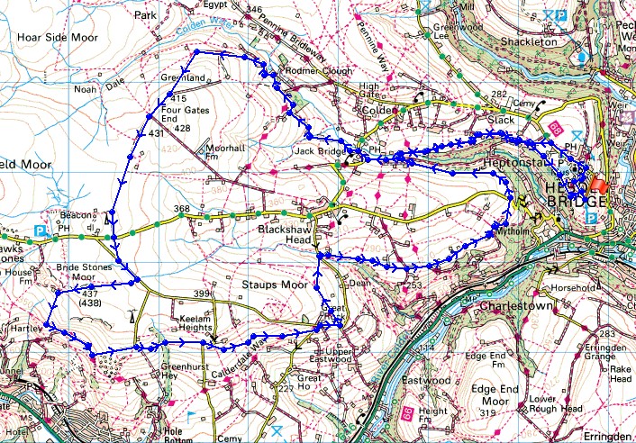
© Crown copyright. All rights reserved. License number PU 100034184.
|
|
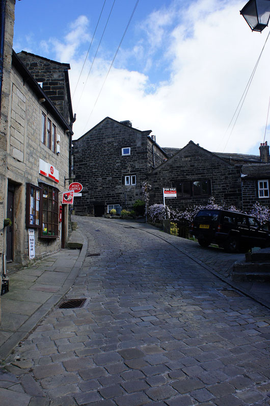
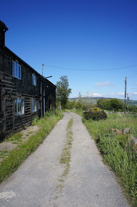
It's a steep start as I head up Town Gate, Heptonstall's main street..
A lovely view of Colden Clough as I leave the road..
..and follow the Calderdale Way down..
|
|
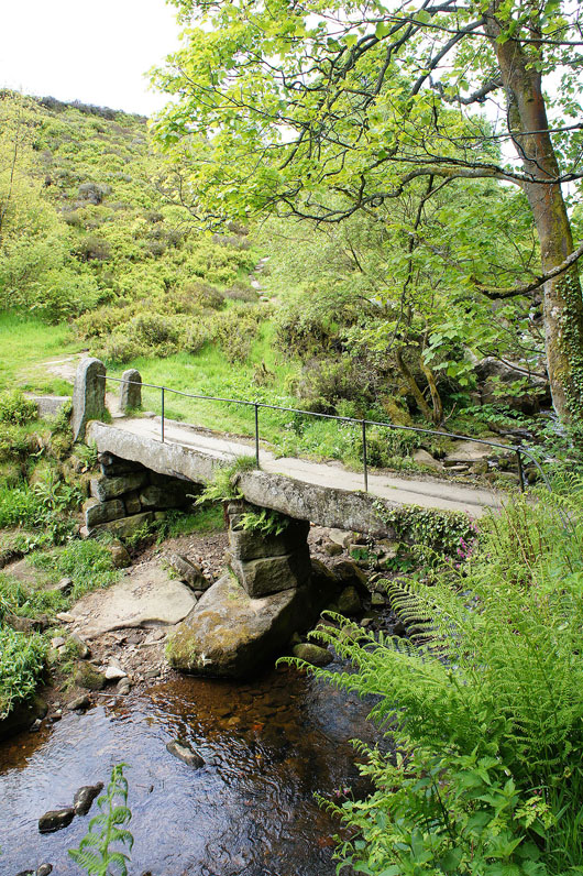
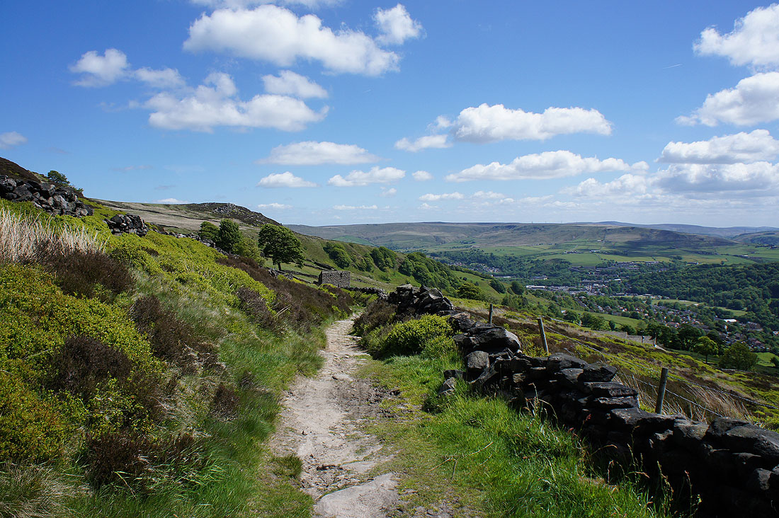
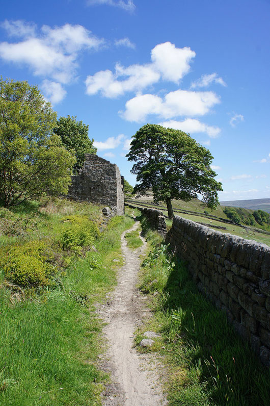
..to Foster Wood....and Hebble Hole bridge
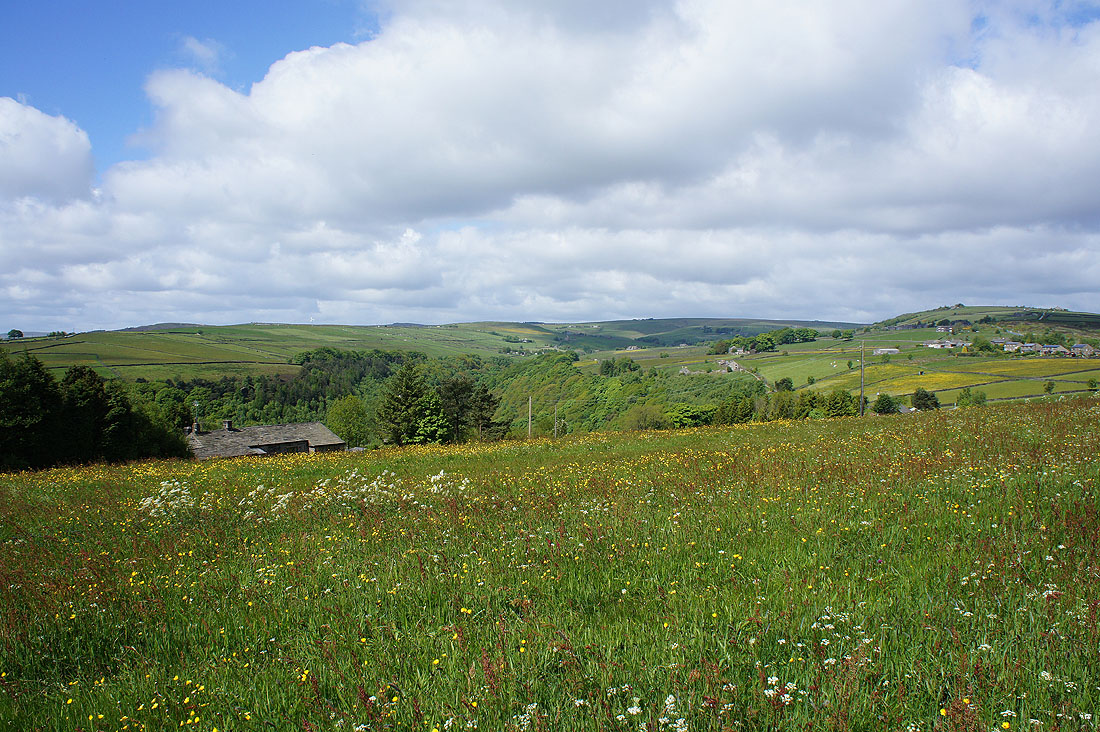
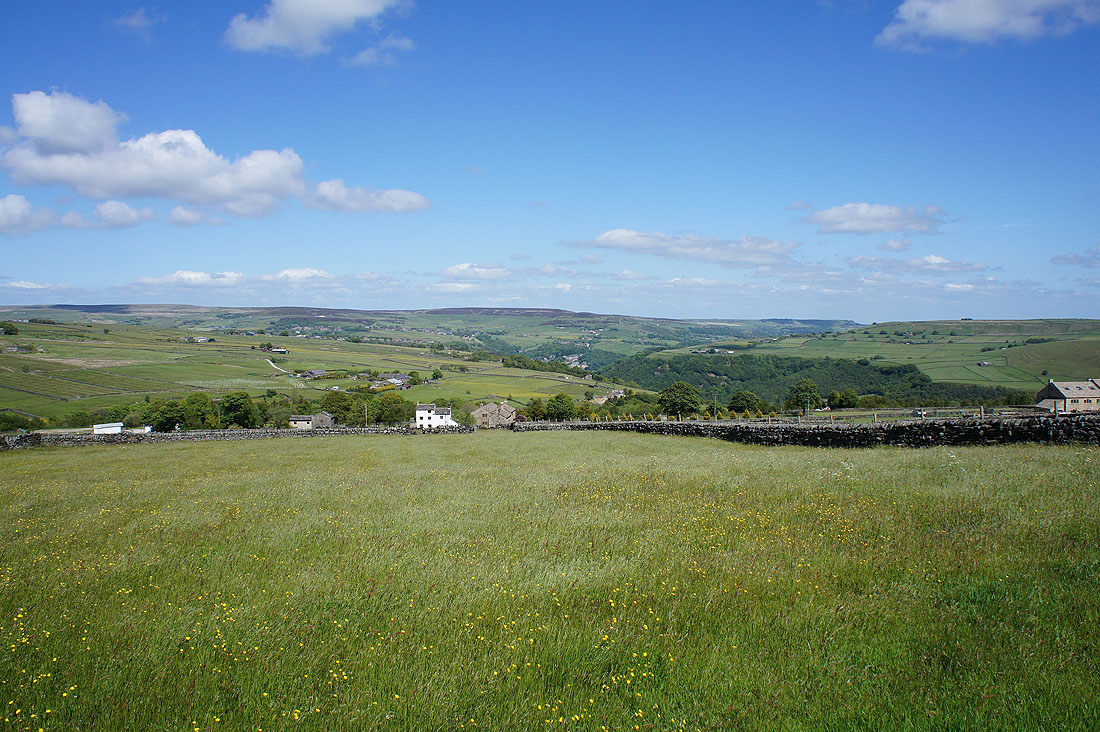
Looking back down Colden Clough from the track of New Road that will take me further up the valley
Past Field Head Farm
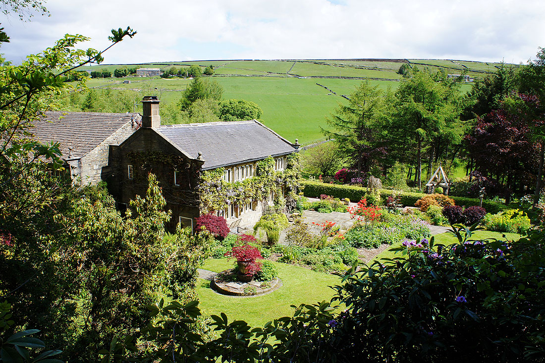
and Land Farm, which has gardens that are open to the public. I've included a link to their website.
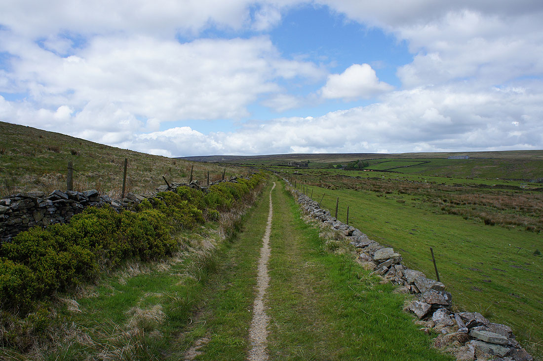
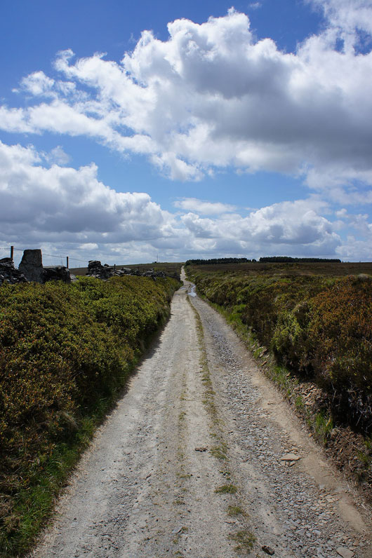
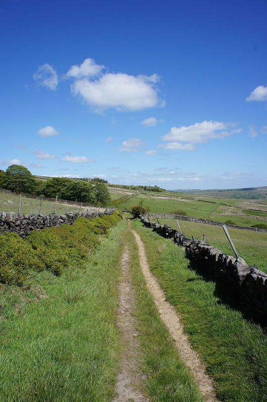
On Moor Lane
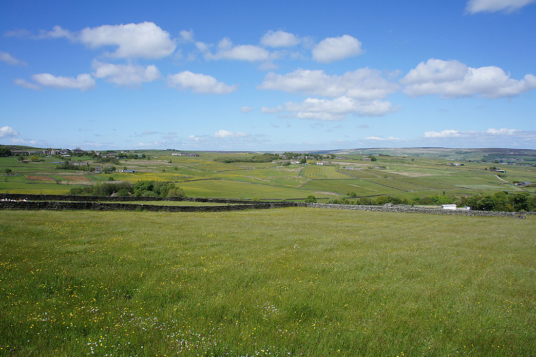
and as I look back there's a more open moorland view now
The hill of Hoof Stones Height above Noah Dale, the top of Colden Clough
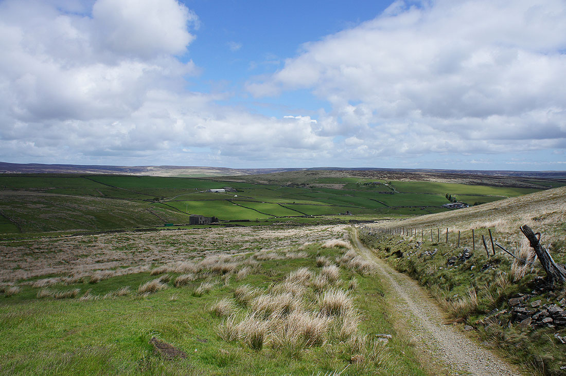
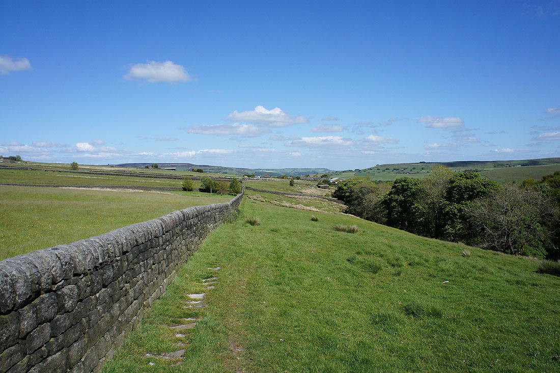
Boulsworth Hill in the distance as I reach the start of the track of Dukes Cut
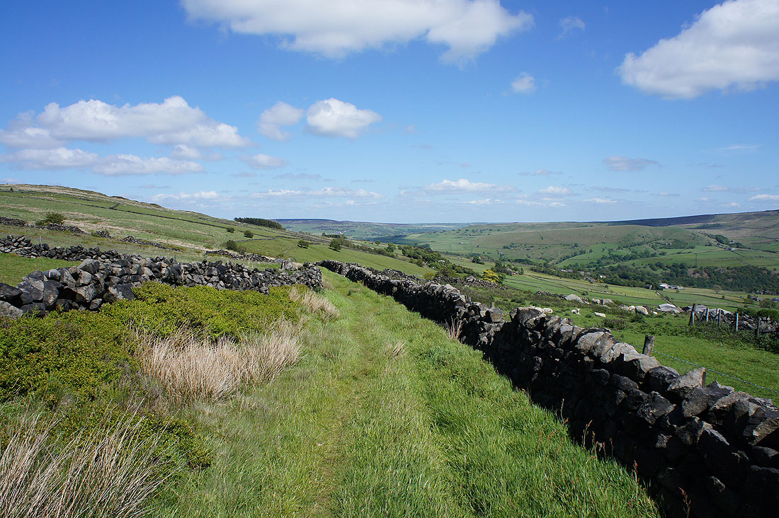
Dukes Cut will take me across to Kebs Road and Bride Stones Moor
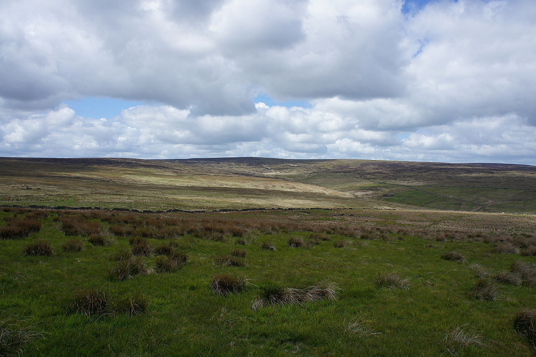
The moors above Hippins Clough from Dukes Cut
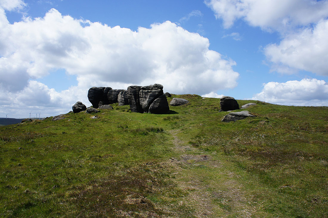
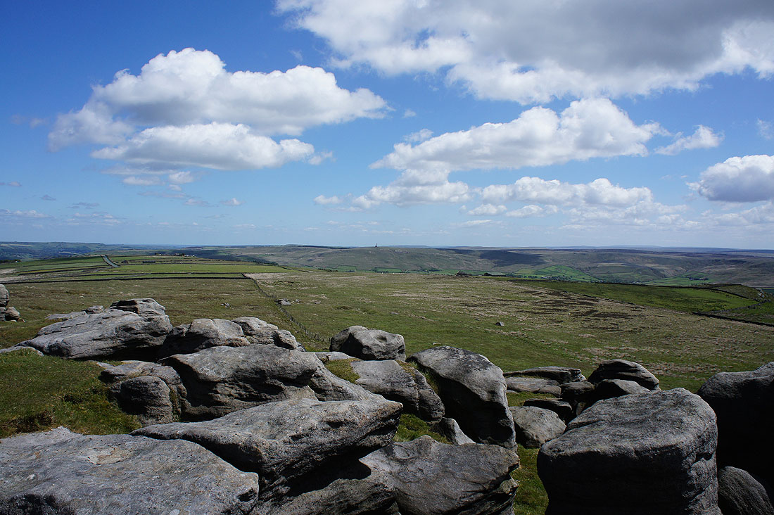
I've finally arrived at Bride Stones Moor
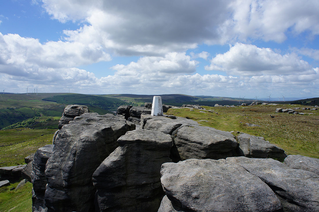
After a much needed break for lunch, time to take in the view from the trig point on top of the crags. There were a few people doing a bit of bouldering today.
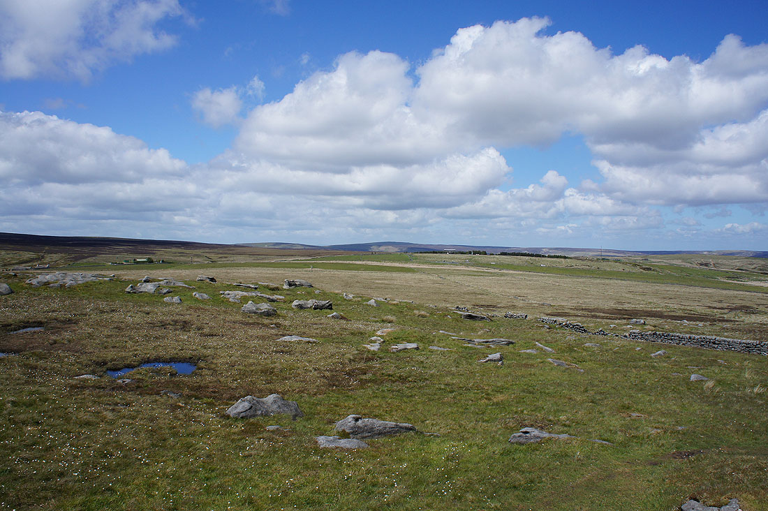
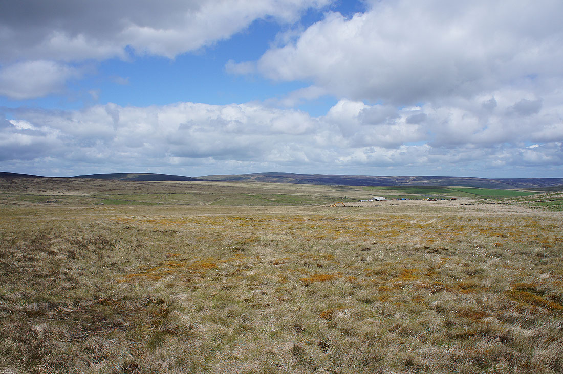
My route of approach came across those moors just to the north
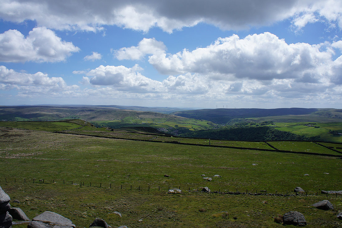
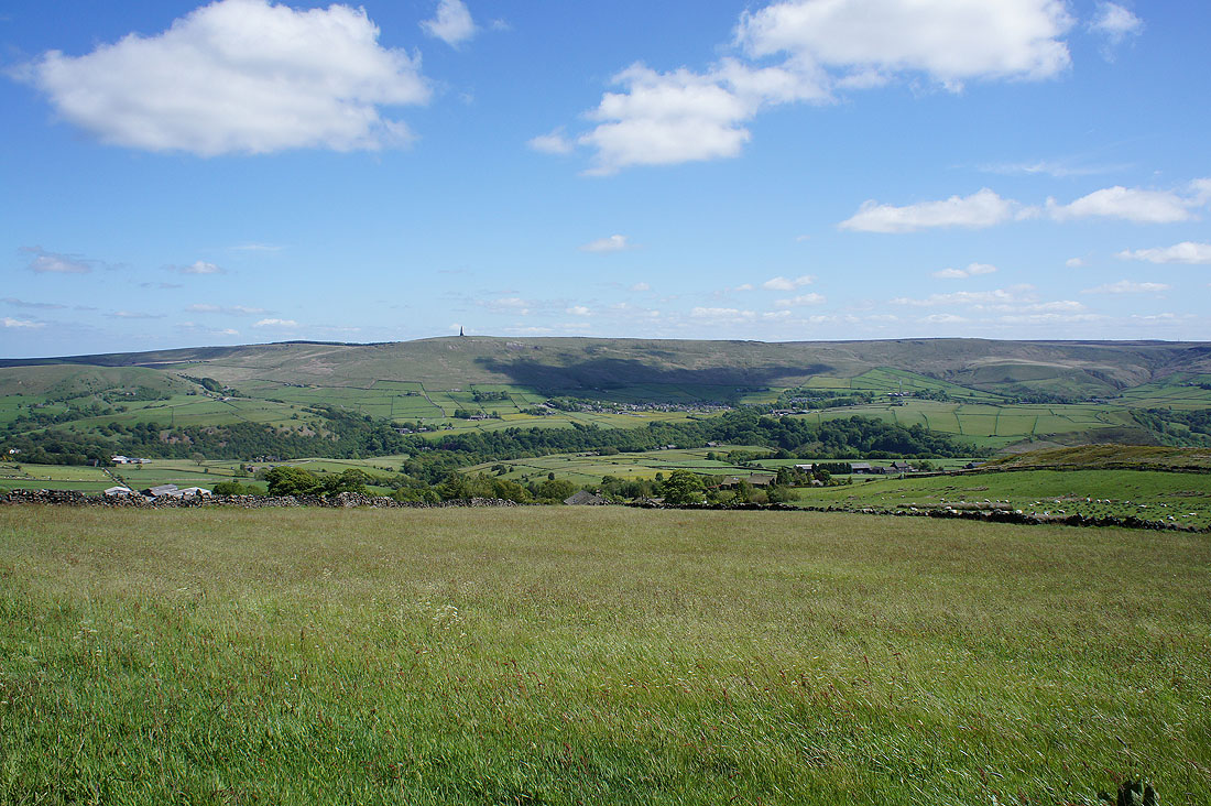
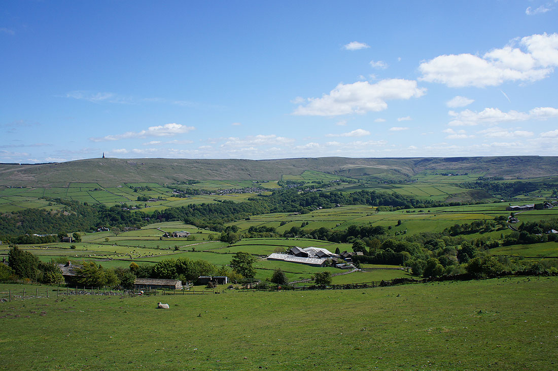
Looking down Calderdale to Midgley Moor
and across to Stoodley Pike
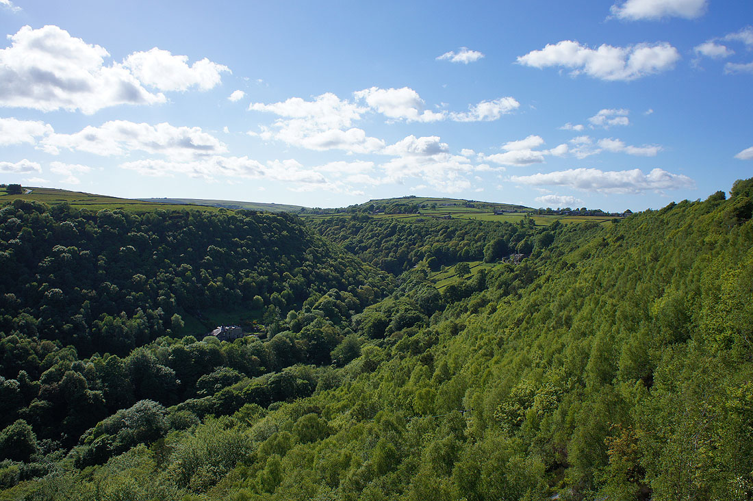
The Summit gorge to the south
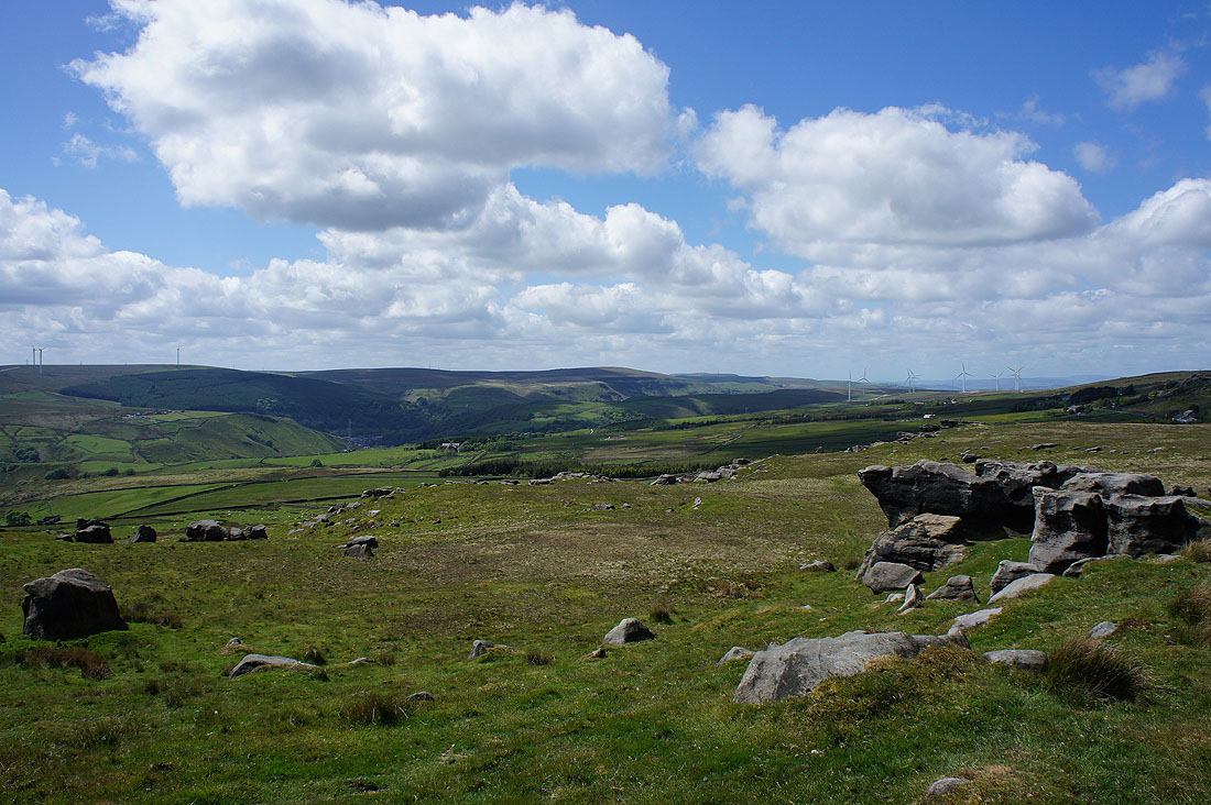
Thieveley Pike and Cliviger
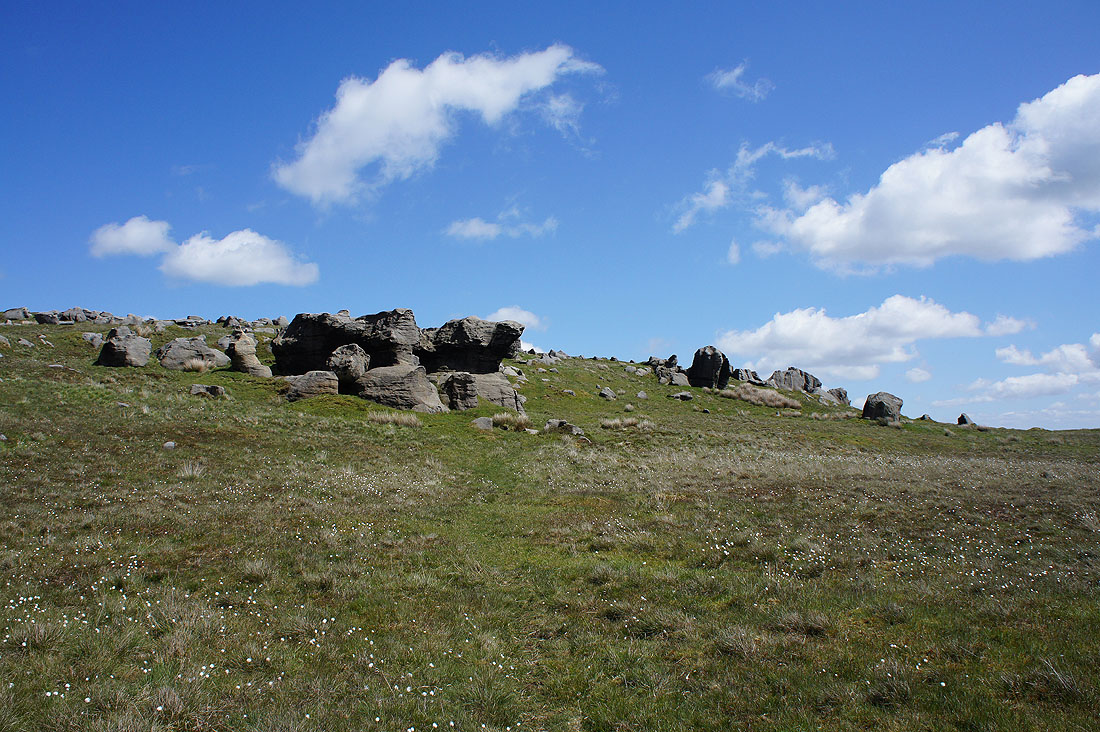
Blue skies above Bride Stones
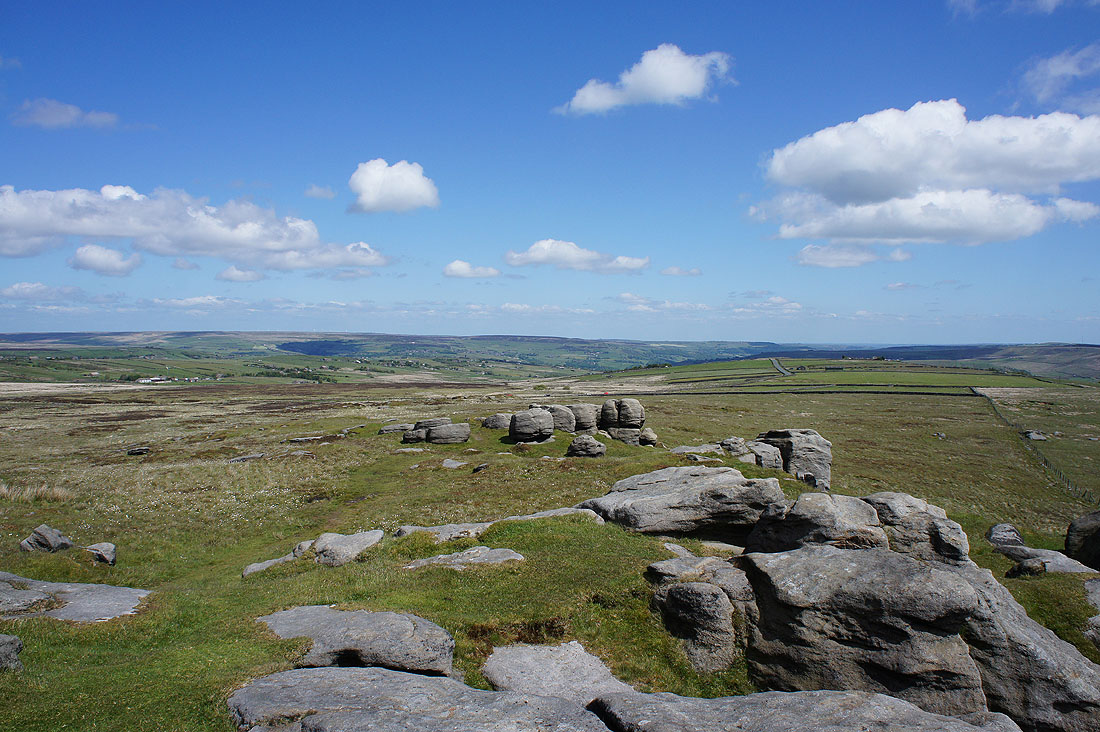
My route back starts with taking the Calderdale Way
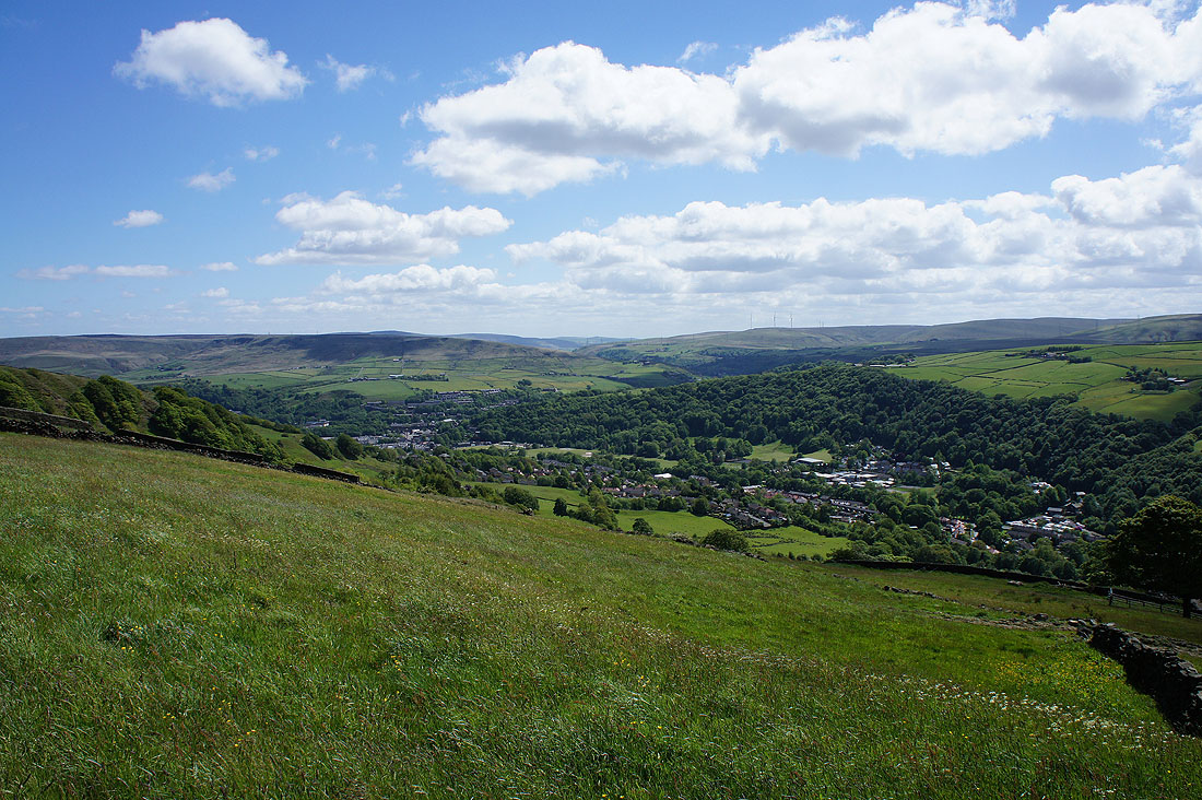
Todmorden in the valley below
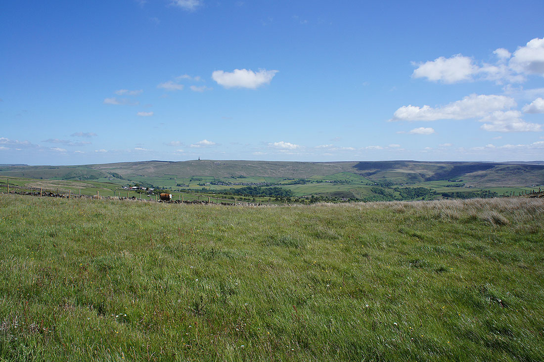
I soon left the Calderdale Way for the Todmorden Centenary Way (TCC) across Whirlaw Common and I now have a view across to Stoodley Pike
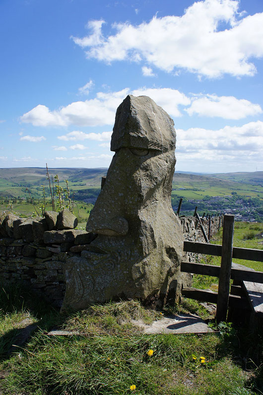
This impressive piece of artwork stands by the path below Windy Harbour Farm
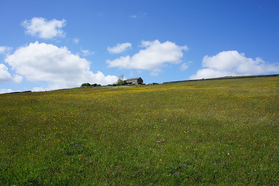
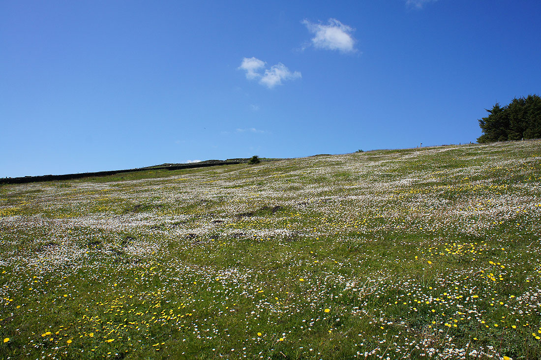
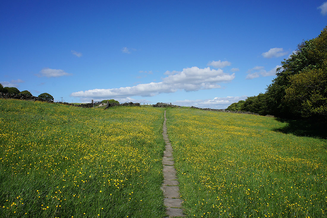
along with a buttercup filled field
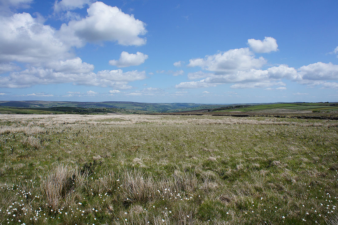
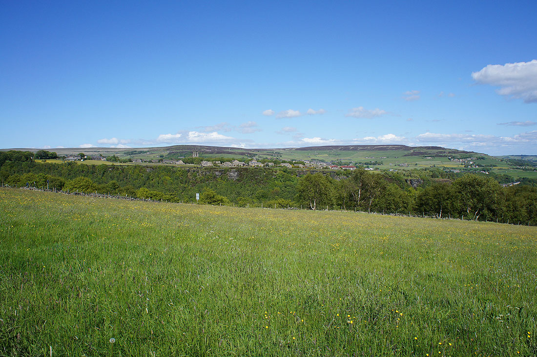
There are great views from the TCC as it makes its way across the hillside.....
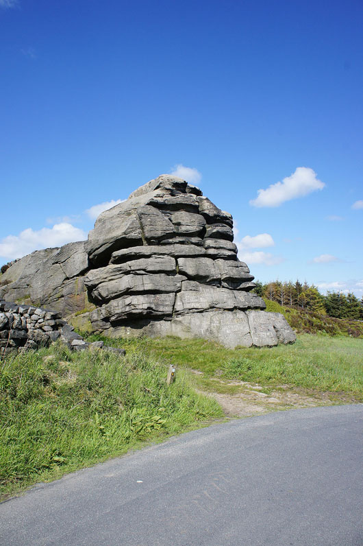
When I reach Great Rock it's back onto the Calderdale Way
Looking across the top of a hidden Jumble Hole Clough towards Midgley Moor and Hebden Bridge
and across Hippins Clough to Blackshaw Head
At Hippins Bridge the Calderdale Way was left for a path to Blackshaw Royd
Blackshaw Head above
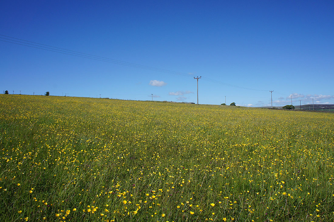
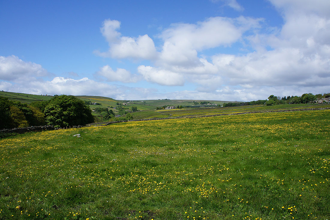
Past Blackshaw Royd the path became a bridleway to Lower Rawtonstall. A fantastic field of buttercups where the Pennine Way crossed my route.
Onwards past Den Farm
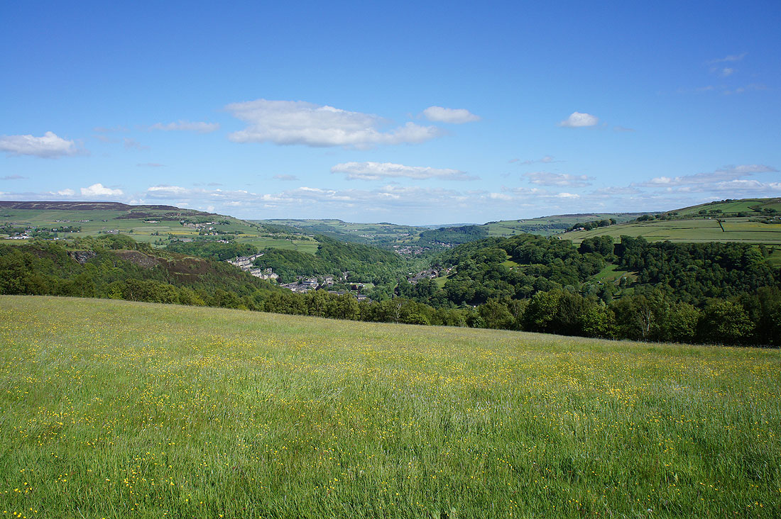
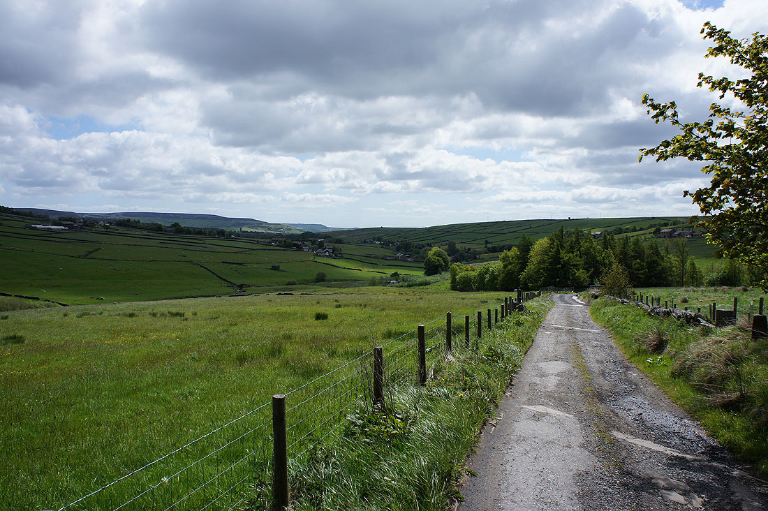
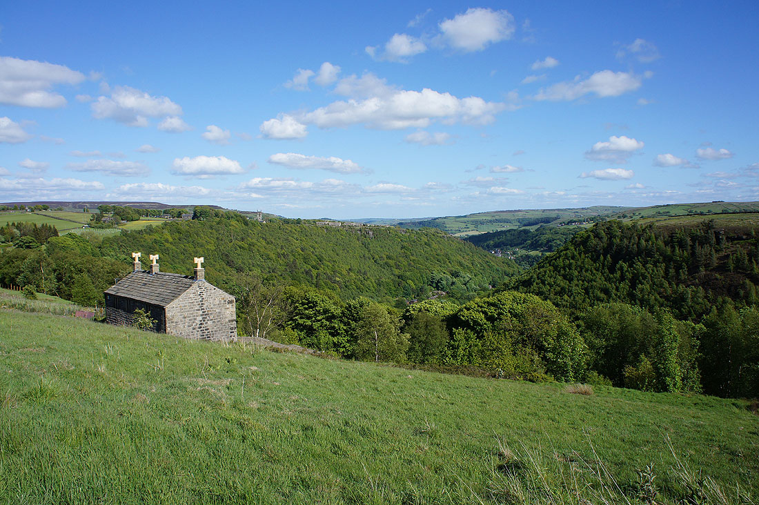
As the path goes past Green House there's a great view of Calderdale and Hebden Bridge
and I can see Heptonstall on the other side of Colden Clough. I'm not taking the direct route across but going by a path to Hebble Hole bridge and the Calderdale Way.
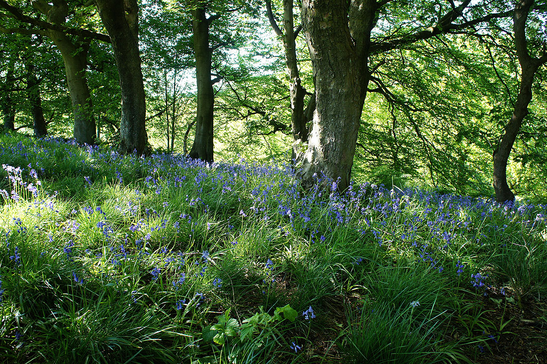
An unexpected bonus of a few bluebells
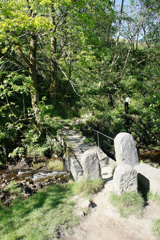
Back at Hebble Hole bridge
and on the Calderdale Way
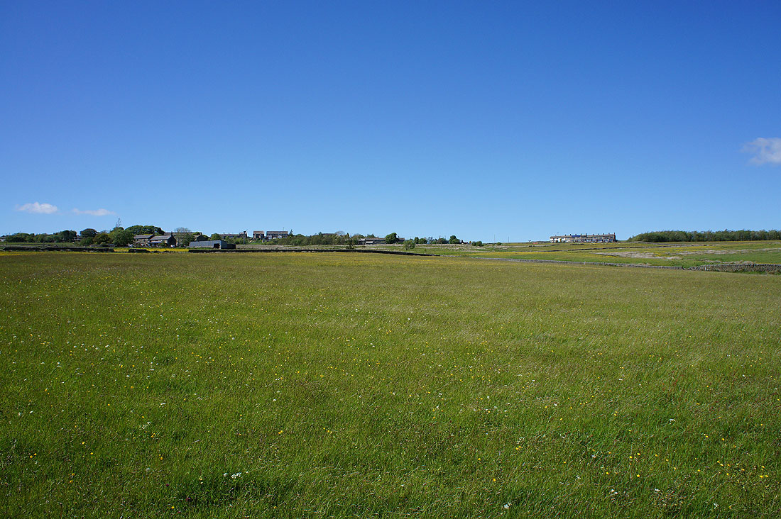
Colden Clough
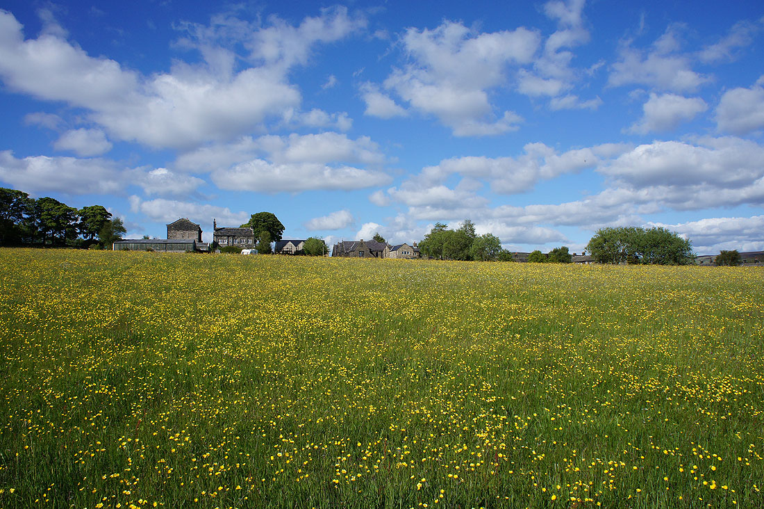
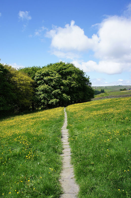
The roofs of Heptonstall across a sea of buttercups
I finish my walk with great views from the top of crags above Eaves Wood. Looking up Colden Clough..
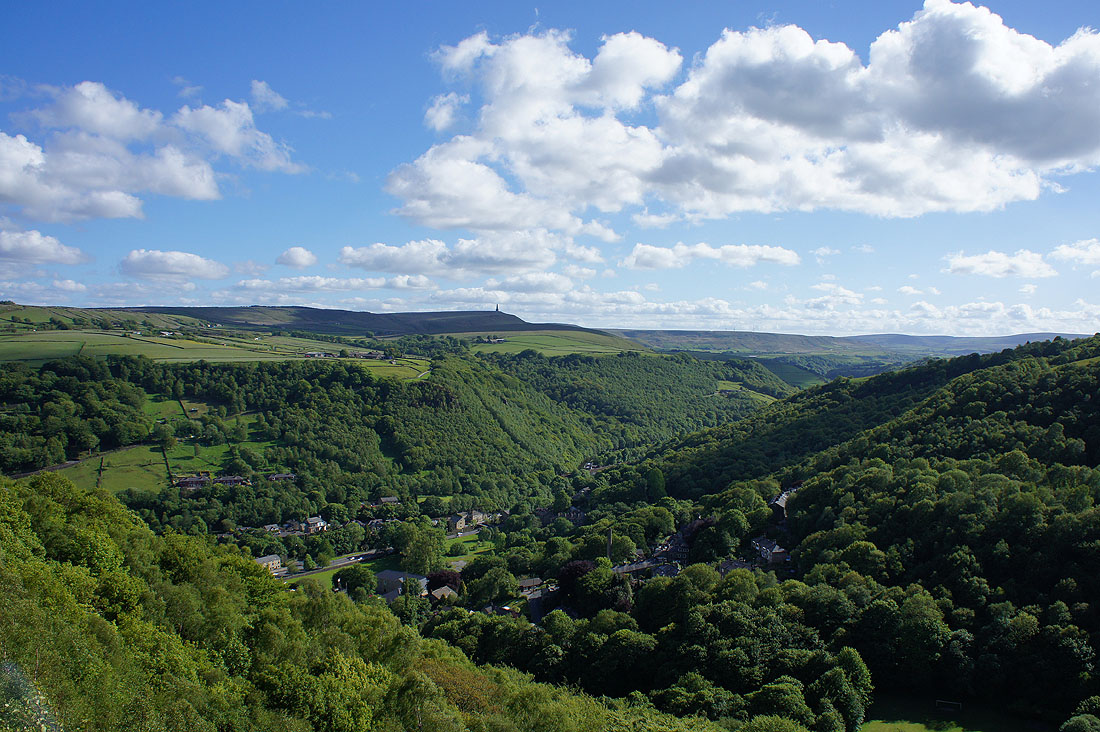
..and across Calderdale to Stoodley Pike