7th March 2015 - Tideswell & Cressbrook Dales
Walk Details
Distance walked: 9.1 miles
Total ascent: 1598 ft
OS map used: OL24 - The Peak District, White Peak area
Time taken: 6 hrs
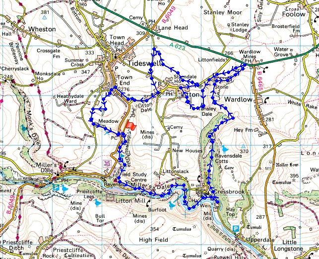
Route description: Tideswell Dale-Litton Mill-Miller's Dale-Water cum Jolly Dale-Cressbrook-Ravensdale Cottages-Cressbrook Dale-Tansley Dale-Litton-Litton Edge-Conjoint Lane-Litton Dale-The Lodge-Richard Lane-Meadow Lane-Tideswell Dale
I decided to head for the Peak District for my walk today. The forecast was for some beautiful early spring weather and it didn't disappoint. I do enjoy a walk in the frost and snow of winter but there comes a point when I look forward to the longer days and the warmth of summer. It felt great in the warm sunshine, no need for hat and gloves and it was mild enough for me to roll my sleeves up. Hopefully I won't have to wait too long for another day like this.
My walk started from the picnic site by the B6049 in Tideswell Dale. I followed the path down Tideswell Dale to Litton Mill. A concessionary path goes through the hamlet to the River Wye, the path by the river took me through Miller's Dale and Water-cum-Jolly Dale to Cressbrook. I then had a walk up the road towards Cressbrook Dale to reach the lane down to Ravensdale Cottages. A path continues through the woods up Cressbrook Dale and where it branches I took the one to the right that heads uphill. At its top I made my way back down to the valley floor and on to the head of Cressbrook Dale at Wardlow Mires. I then followed a path along the top of the hillside on the western side of the valley around to Tansley Dale and then up to Litton. On reaching Litton I turned right and went up Mires Lane to take the path across Litton Edge to Conjoint Lane. I turned left here and walked down the road, across Church Lane and down the bridleway to reach the road in Litton Dale. I followed the road down Litton Dale to "The Lodge", a minor road signed as unsuitable for motors which brought me to the B6049 just outside Tideswell. I crossed over and briefly made my way up Richard Lane before taking a path across fields to Meadow Lane. A brief walk down this lane and I arrived at Meadow Farm for the path down a nameless valley to the picnic site in Tideswell Dale.
Route map
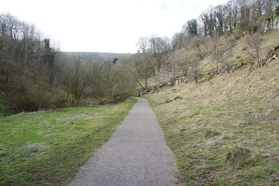
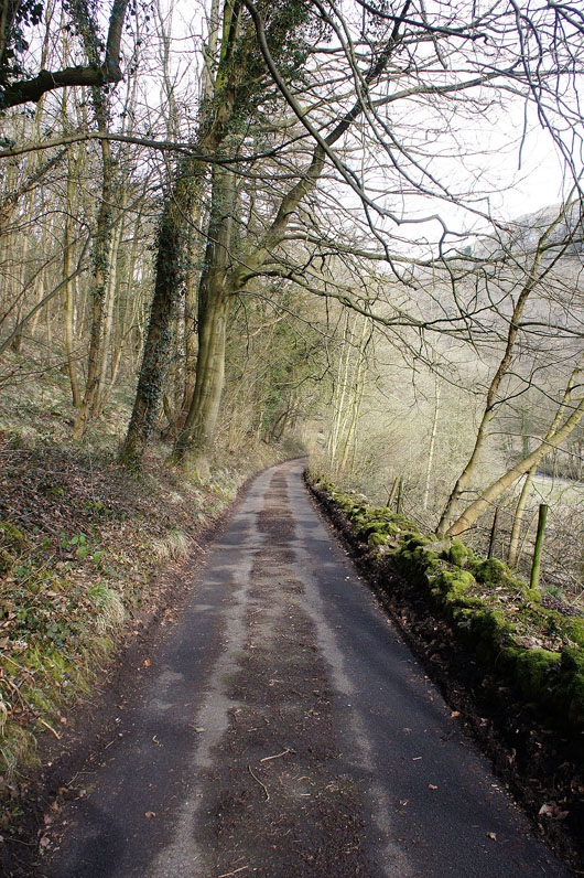
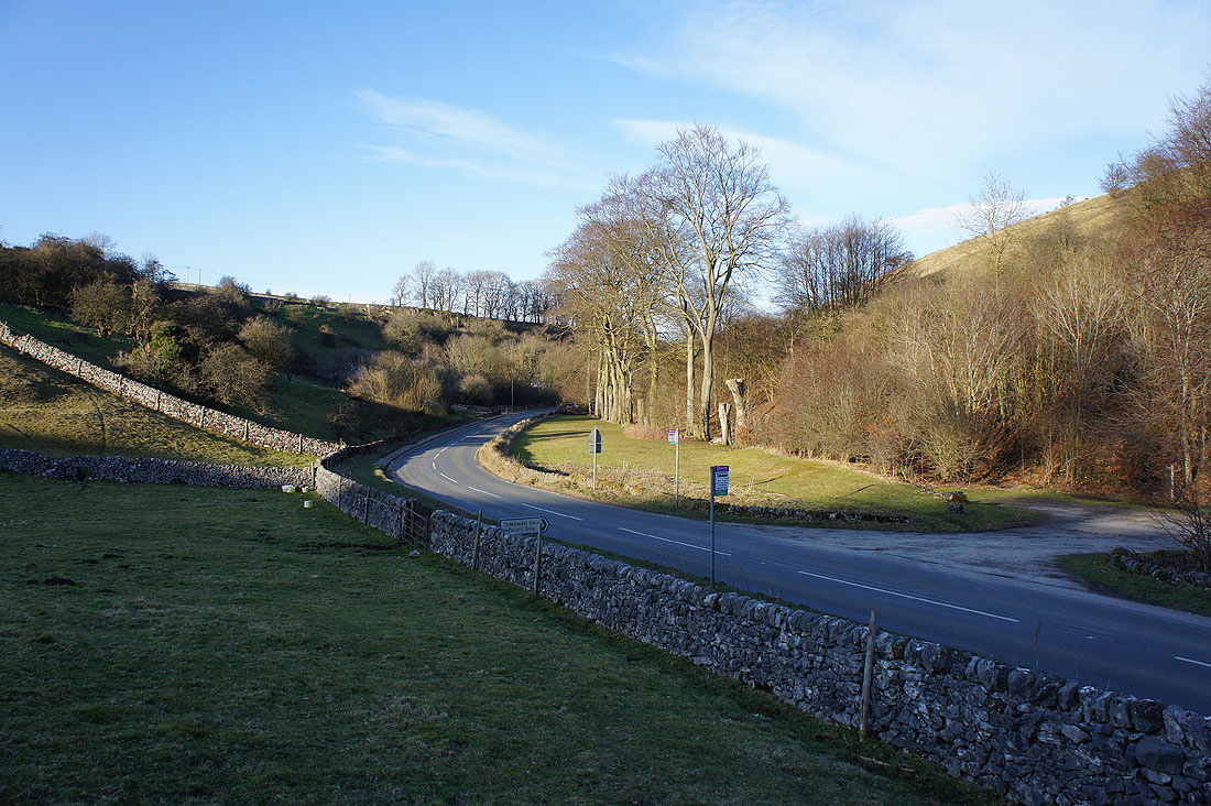
At the start of the walk and I'm following the path down Tideswell Dale
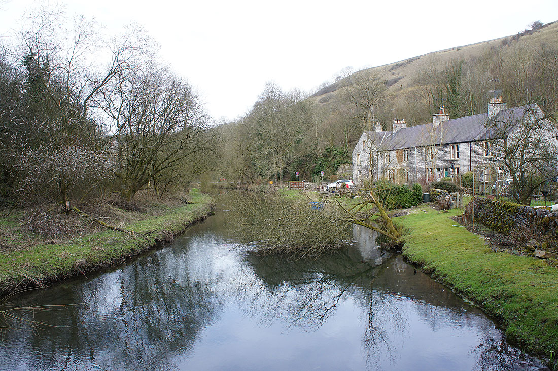
The River Wye at Litton Mill in Miller's Dale
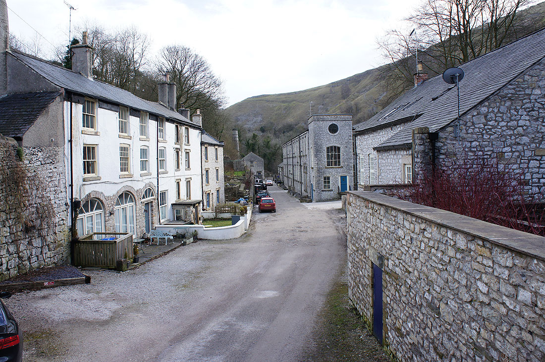
A concessionary path goes through Litton Mill to join a track by the river
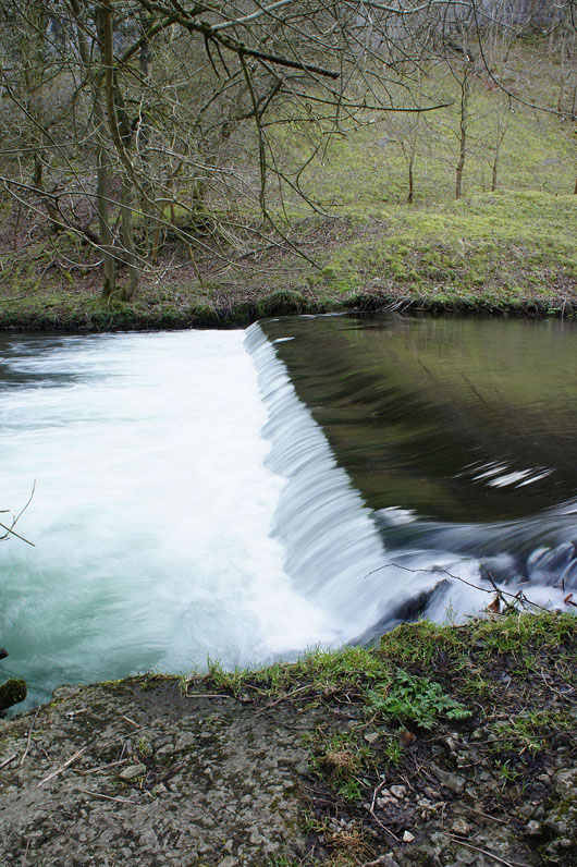
A weir on the Wye
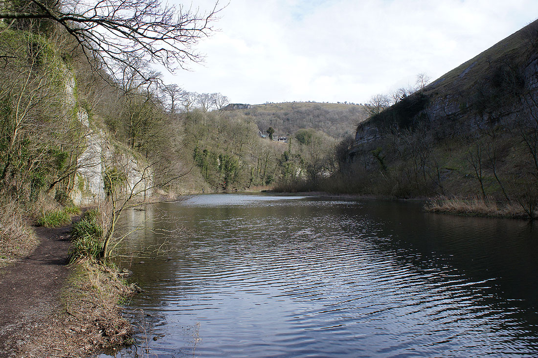
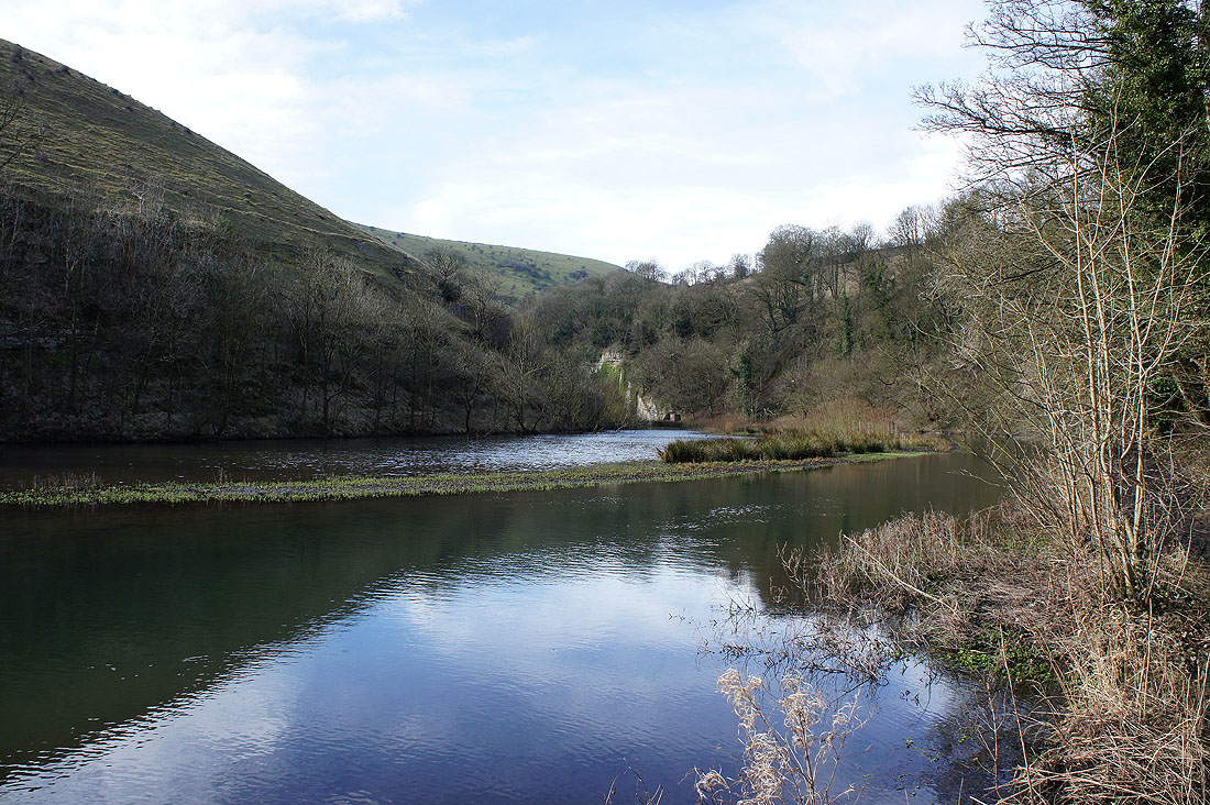
By the River Wye in Water-cum-Jolly Dale. The river can flood the path and if it does the alternative will need to be taken.
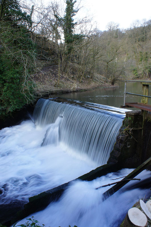
The weir at Cressbrook. This is where I left the Wye behind to head up Cressbrook Dale.
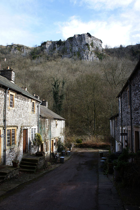
On the road down to Ravensdale, where limestone cliffs tower over Ravensdale Cottages
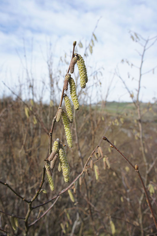
The path up Cressbrook Dale goes through hazel coppice whose catkins are flowering
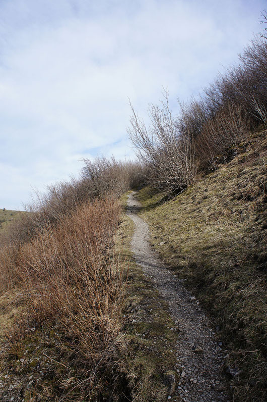
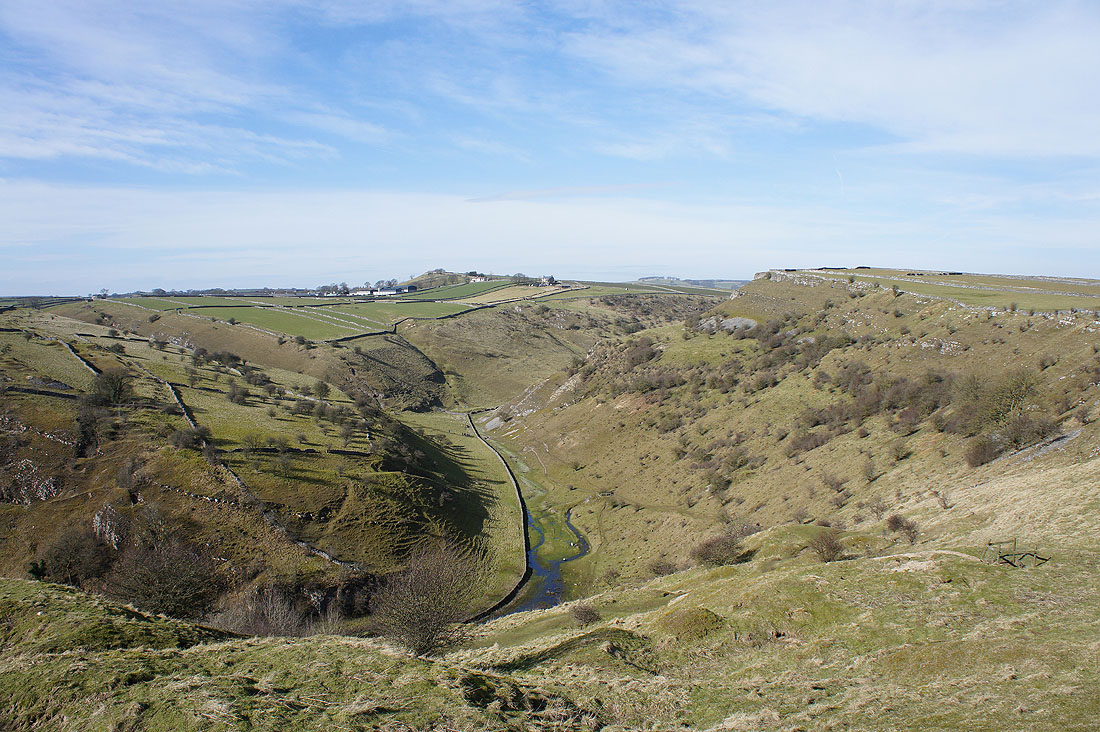
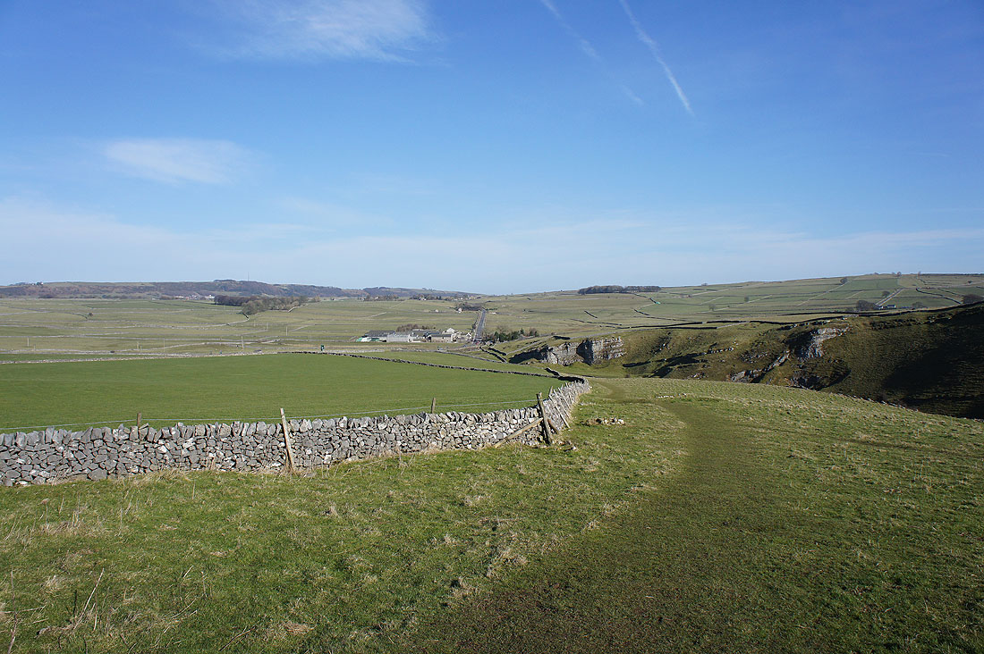
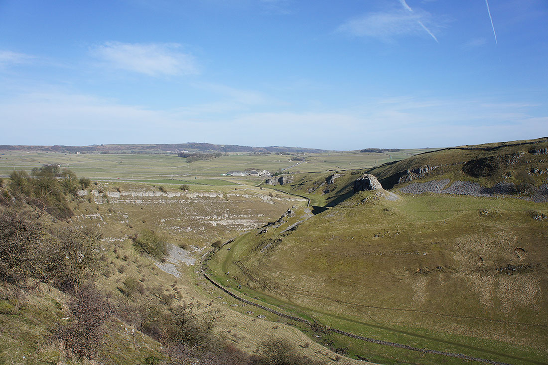
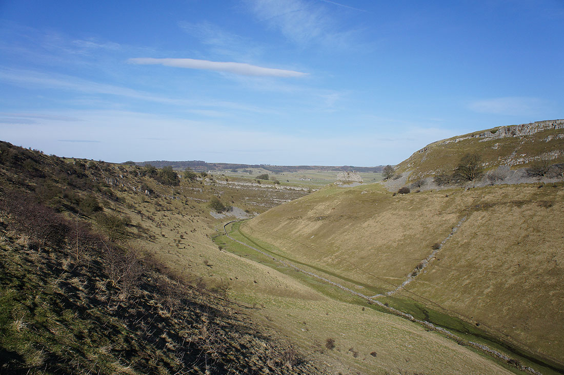
As I reach the top of the path a fantastic view of Cressbrook Dale is revealed. It was also a great spot to stop and have my lunch in the warm spring sunshine.
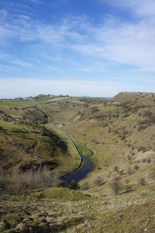
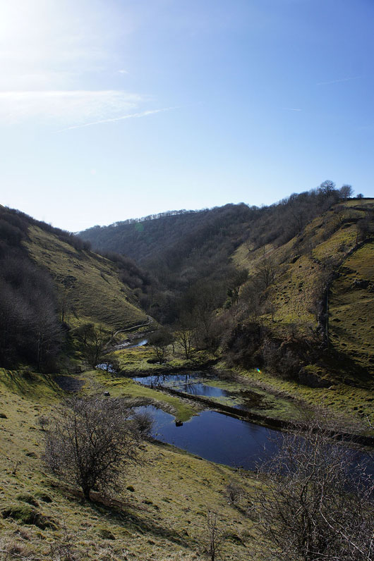
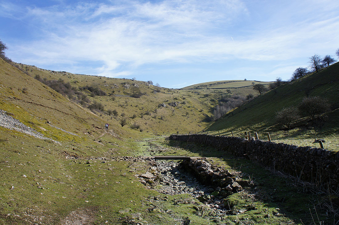
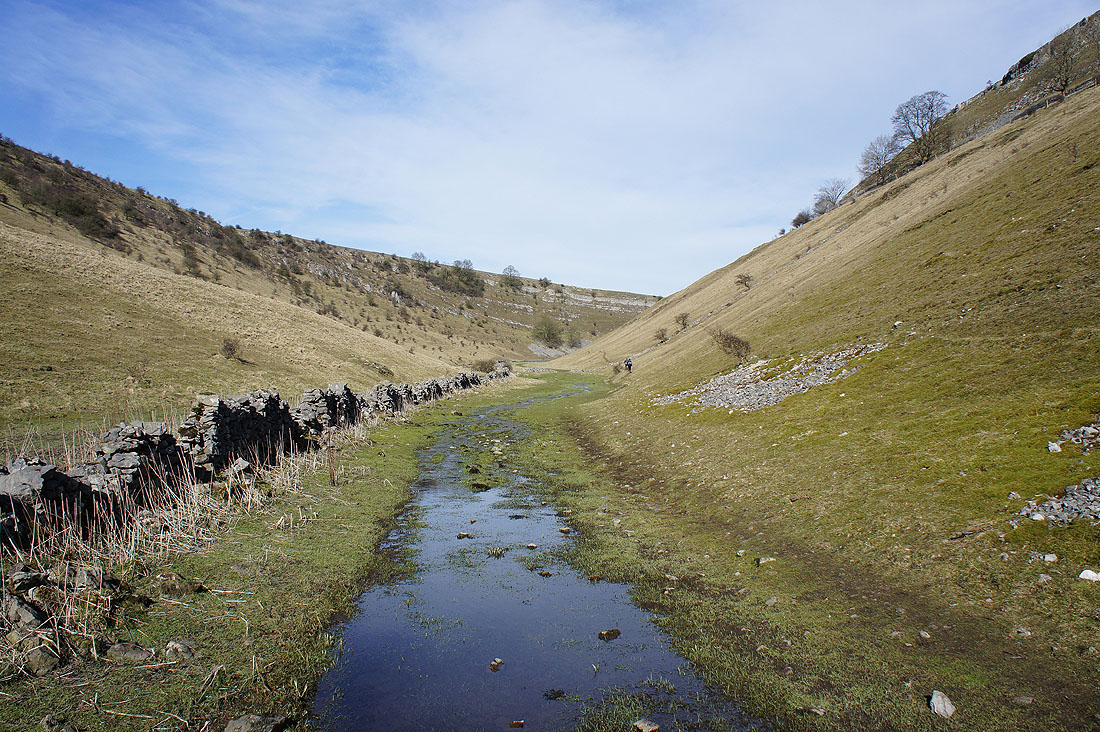
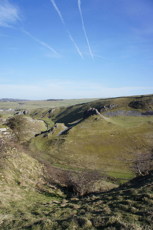
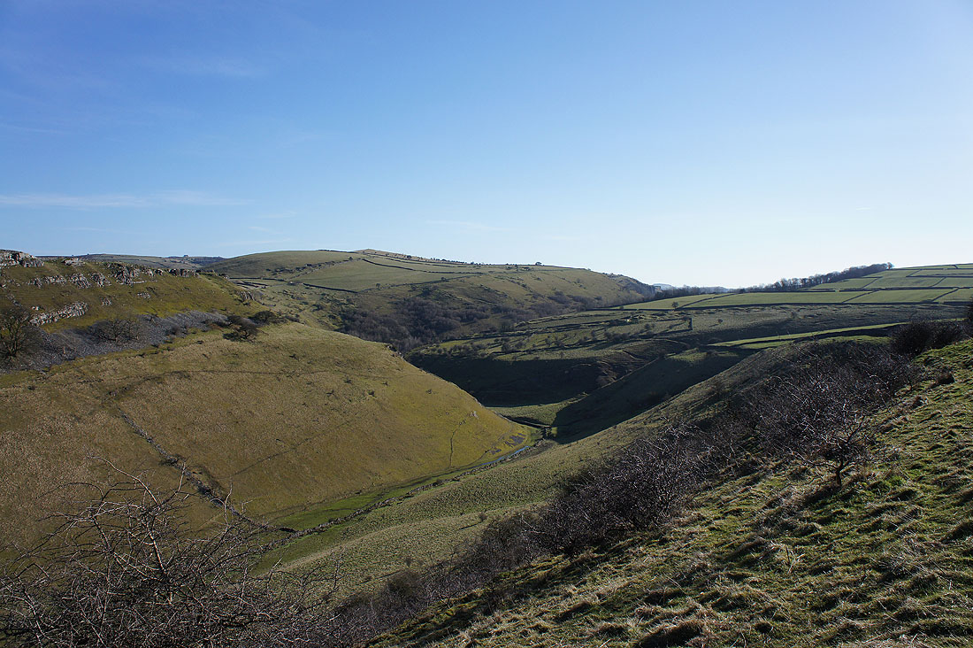
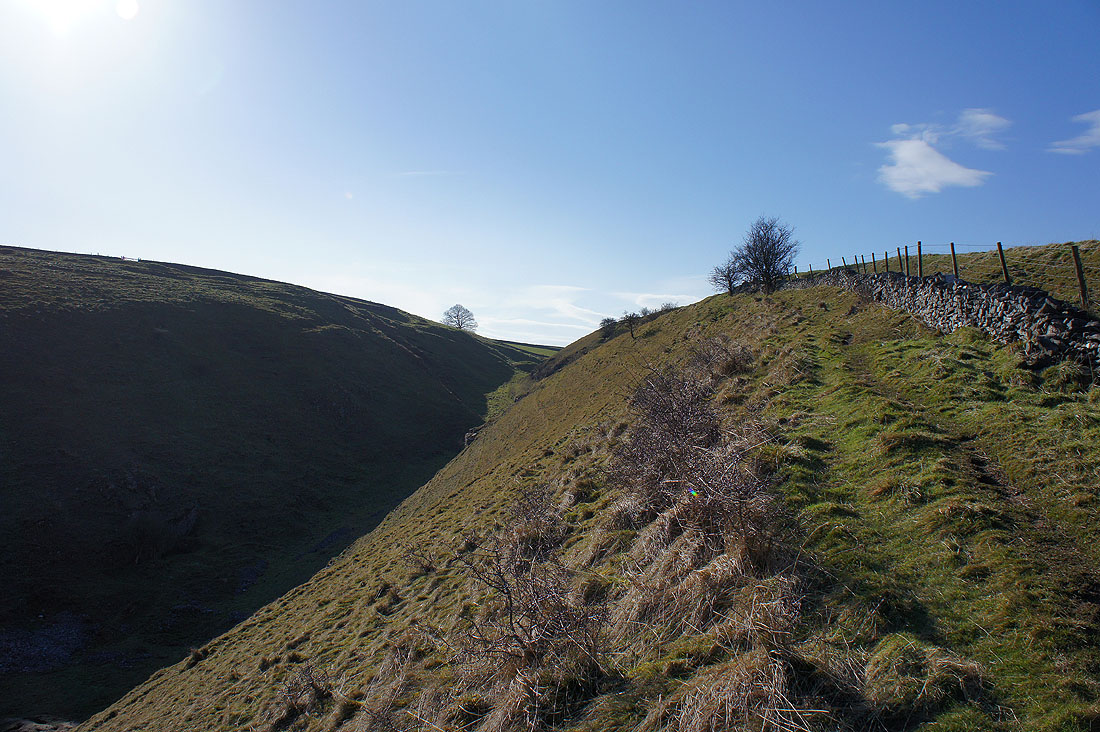
A couple more shots as I take the path down to the valley bottom. There's obviously been enough rain recently for the brook to be flowing quite far up the valley.
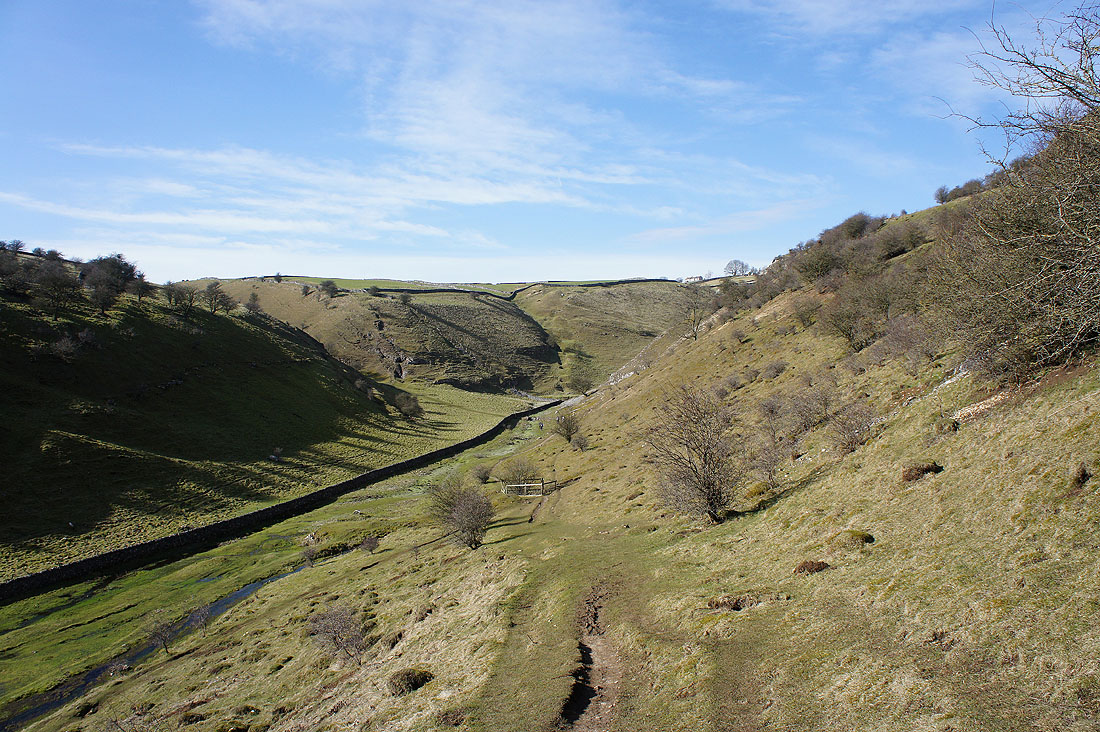
Looking back and the path through the wall on the right takes you up Tansley Dale to Litton. I'll be walking above it later.
Heading up Cressbrook Dale
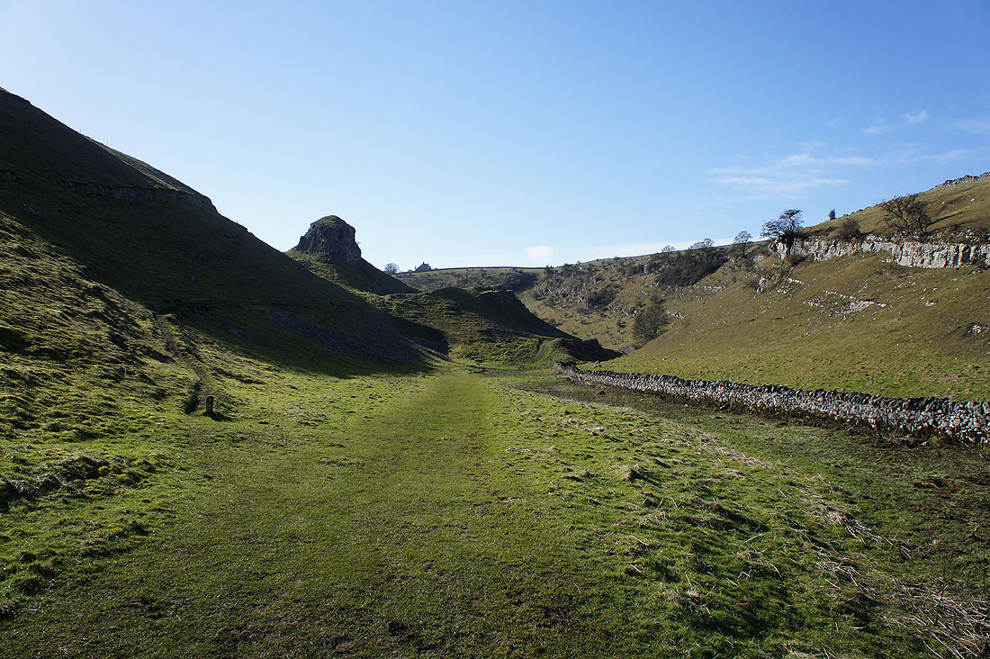
and the head of the valley from the hillside below Peter's Stone
Looking back at the limestone tor of Peter's Stone
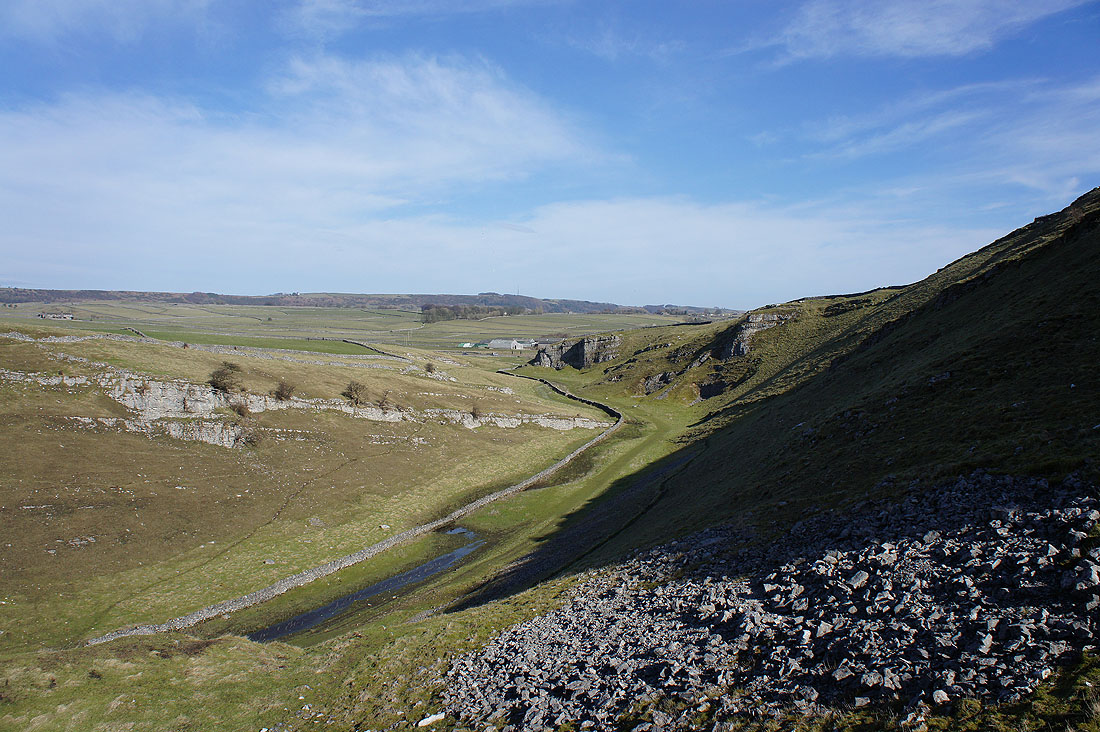
I'm now on a path that follows the top of the hillside on the western side of Cressbrook Dale to Tansley Dale. Looking back to the head of the valley at Wardlow Mires.
Great views of the valley below
Including Peter's Stone
and up to the hill of Wardlow Hay Cop
One last shot before..
..taking the path above Tansley Dale
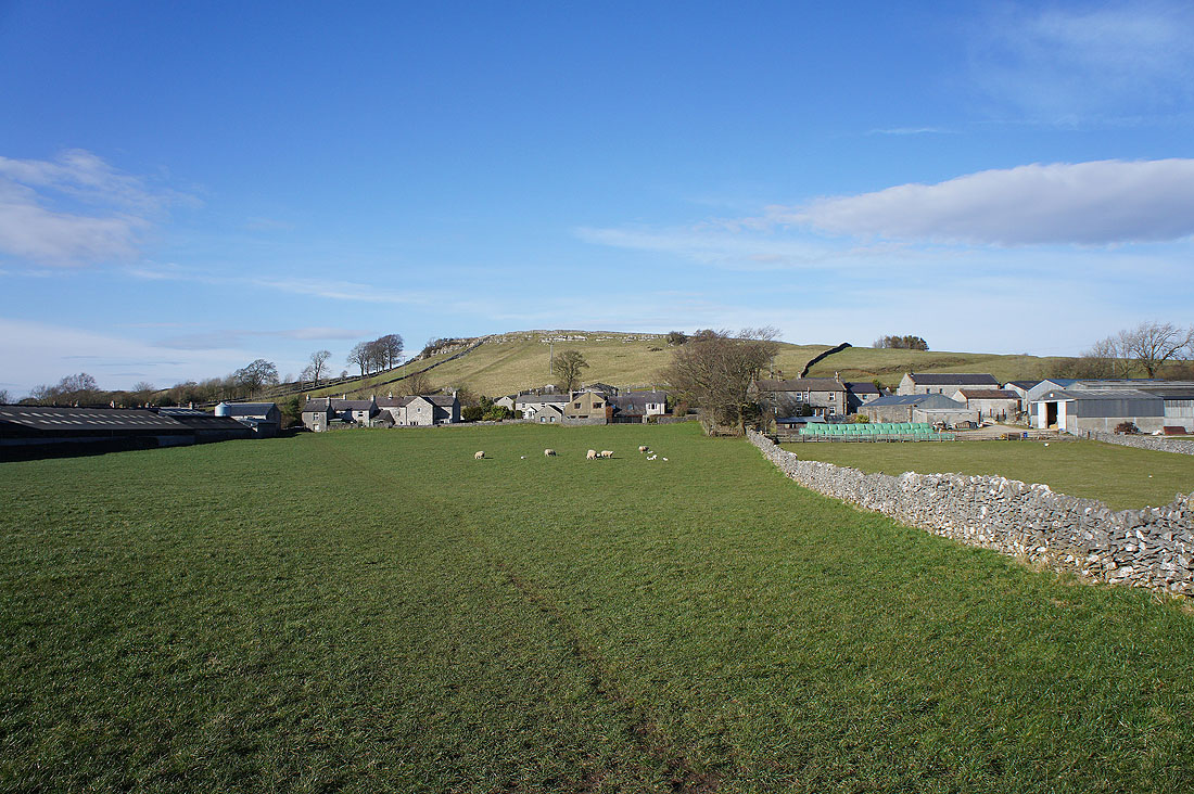
Approaching Litton with Litton Edge behind. When I reach the road I'll turn right and head for the path up onto Litton Edge.
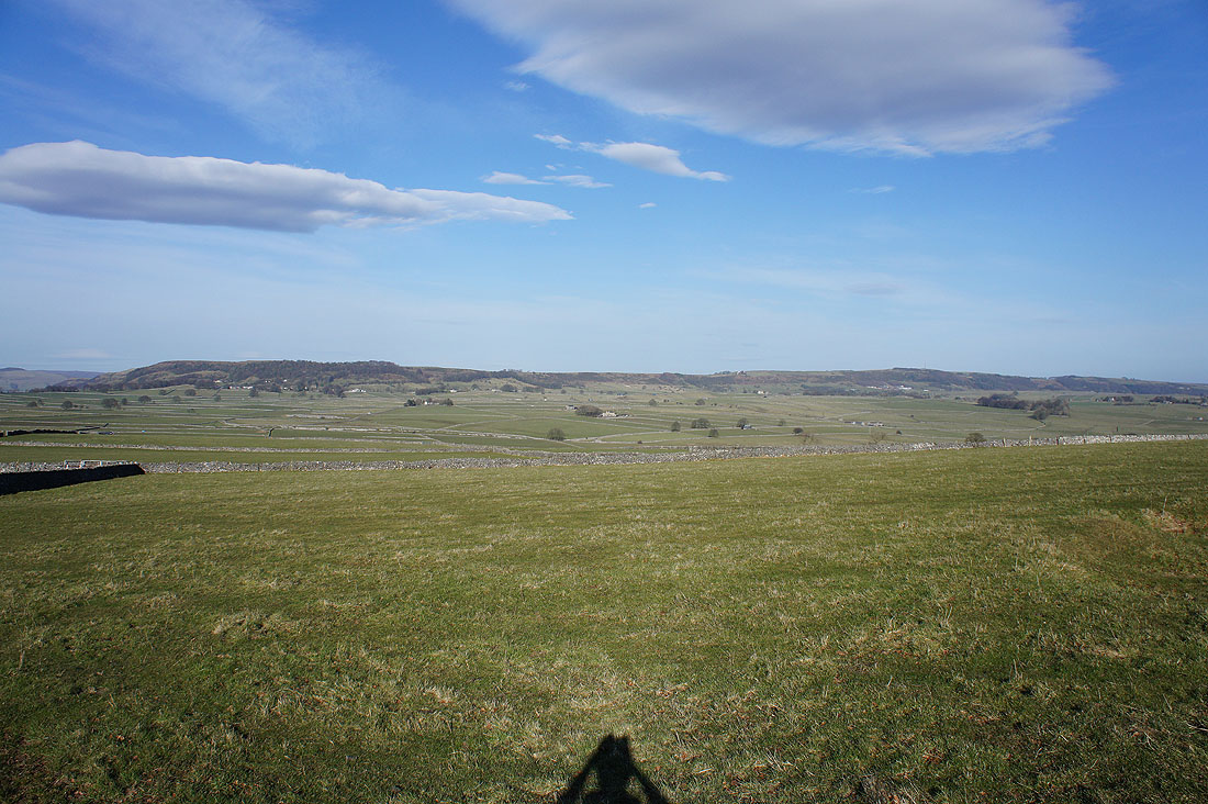
Looking across to Wardlow Hay Cop from Litton Edge
Hucklow Edge and Eyam Edge in the distance. The White Peak ends and the Dark Peak begins.
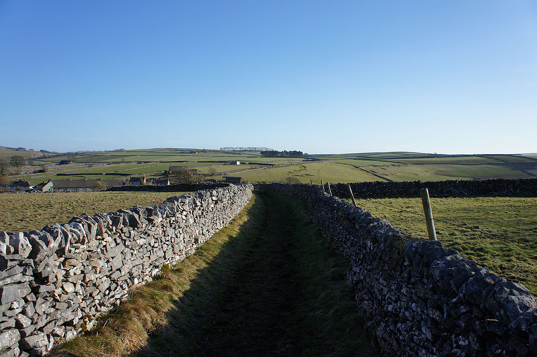
Litton Edge and Litton from Conjoint Lane with Wardlow Hay Cop in the distance
At the end of Conjoint Lane I crossed Church Lane to take this bridleway to the road down Litton Dale
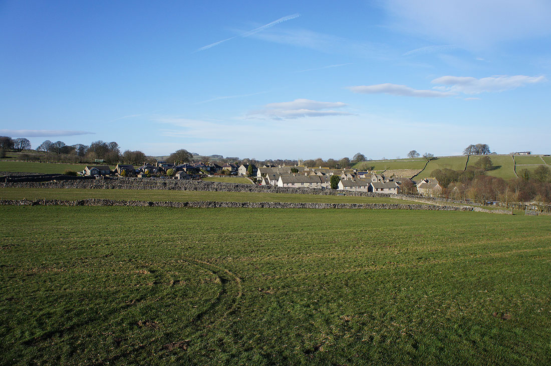
Leaving the outskirts of Tideswell from the field path to Meadow Lane
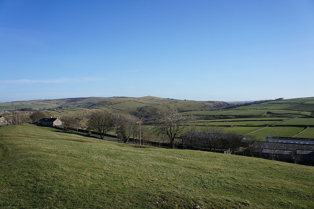
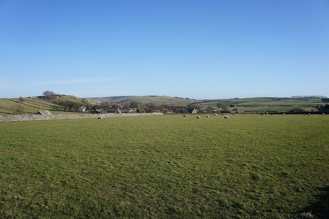
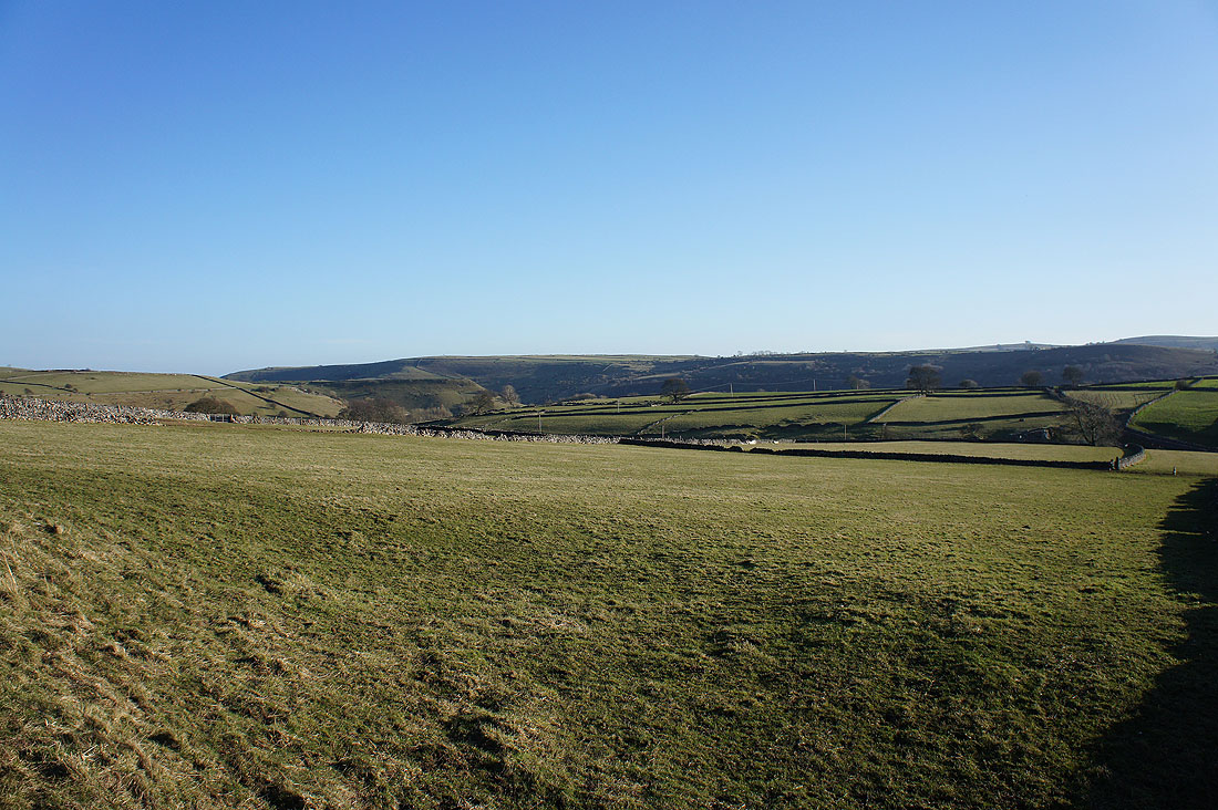
A great view of the moorland above Tideswell and Miller's Dales
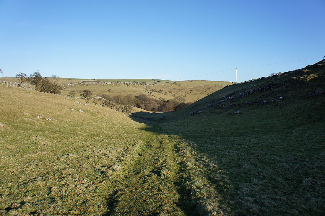
After a short walk along Meadow Lane the footpath down this nameless valley will take me..
..back to the picnic site in Tideswell Dale
