7th March 2016 - Pendle Hill
Walk Details
Distance walked: 4.7 miles
Total ascent: 1198 ft
OS map used: OL21 - South Pennines
Time taken: 2.5 hrs
Route description: Barley-Pendle Way-Ing Ends-Ing Head Farm-Pendle House-Pendle Hill-Pendle Way-Upper Ogden Reservoir-Lower Ogden Reservoir-Barley
My walk up Pendle Hill today was a real bonus. I'd booked the day off work and my car was in for a service. So, it was with a lot of frustration that I spent the morning looking out at blue skies and sunshine waiting for the call to tell me that it was ready to pick up. The call came after lunch-time and it was 1430 when I collected it. That still gave me time to get to Barley and I arrived there at 1500. I set quite a pace on my ascent, keen to get to the top as soon as I could and spend some time on the summit. It was definitely worth the effort. The conditions up there were glorious. Blue skies, sunshine, excellent visibility, snow on the ground with a cold breeze.
From the car park in Barley I walked into the centre of the village and onto the Pendle Way. This took me all the way to the summit; past Ing Ends, Ing Head Farm, Pendle House and then up the steep path across the east face of the hill. My route back kept me on the Pendle Way down Boar Clough and into Ogden Clough. The track past Upper and Lower Ogden Reservoirs was then followed back to Barley.
Route map
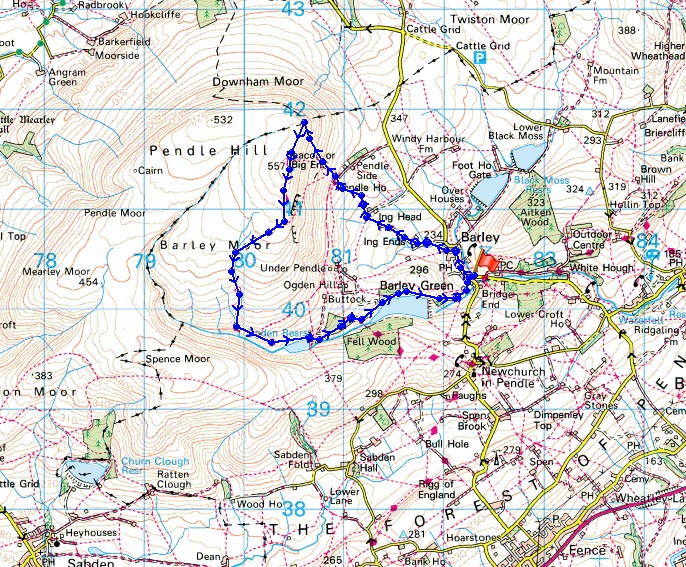
© Crown copyright. All rights reserved. License number PU 100034184.
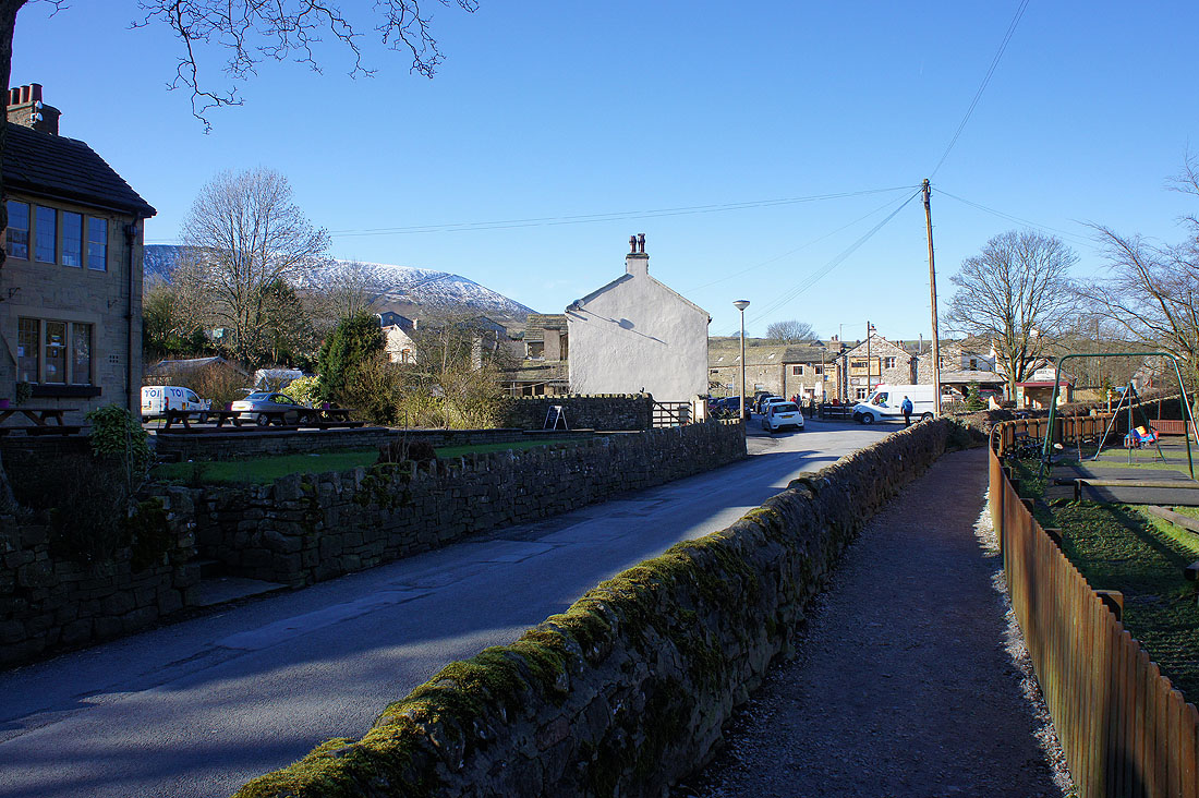
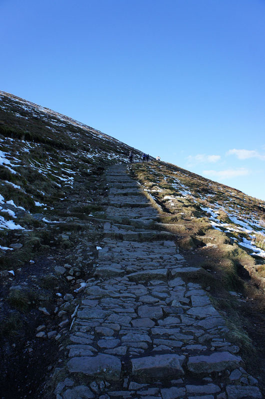
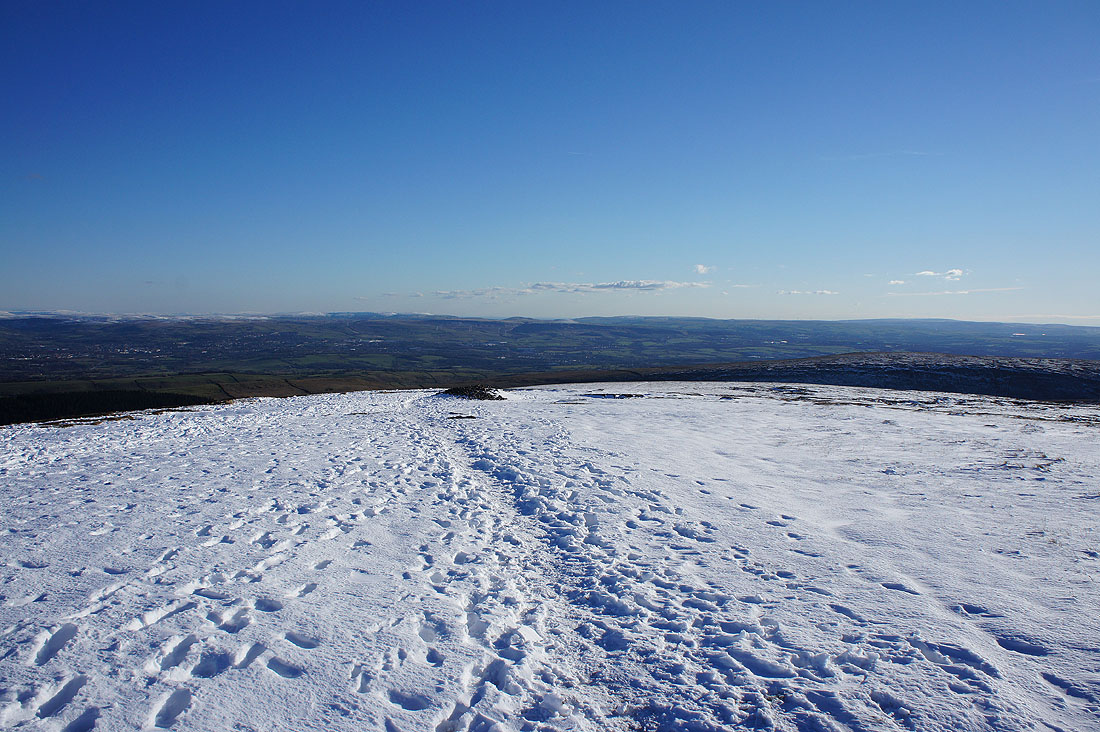
From Barley I take the Pendle Way
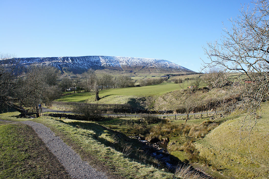
I can see the path up the steep east face from here
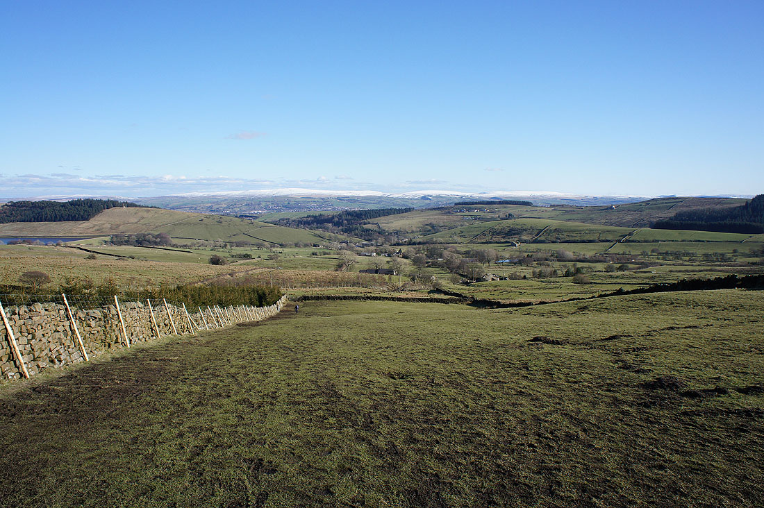
Looking back towards Barley
Onwards and upwards
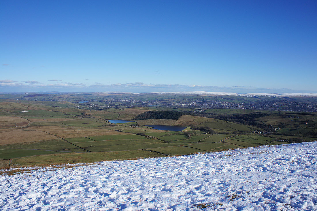
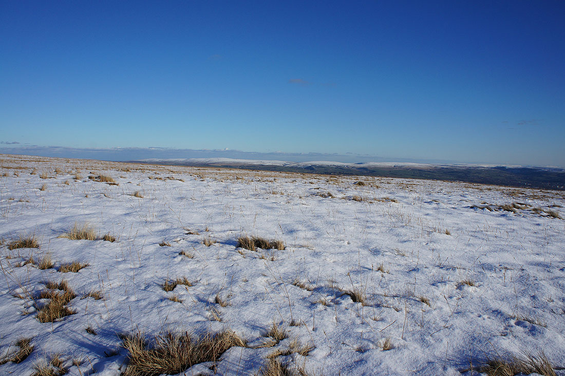
Up into the snow. The Black Moss Reservoirs, Boulsworth Hill and other South Pennines hills.
Before heading to the summit I crossed the stile onto Downham Moor. The fells of the Forest of Bowland in the distance including Parlick, Fair Snape Fell and Totridge.
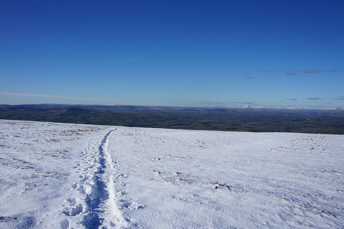
Moving round to the right, more Forest of Bowland fells including White Hill and Bowland Knotts
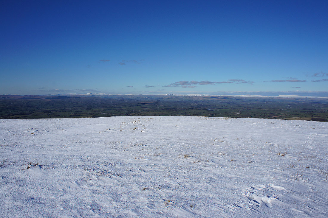
Zooming in to the Lake District fells that I could make out in the far distance. I think those on the far left are the Coniston fells and the Scafells, then on the right are the eastern and far eastern fells such as Helvellyn and High Street.
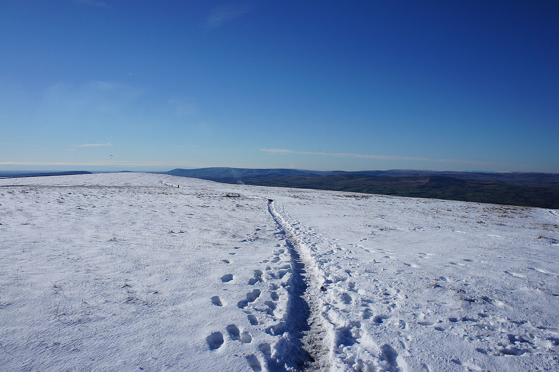
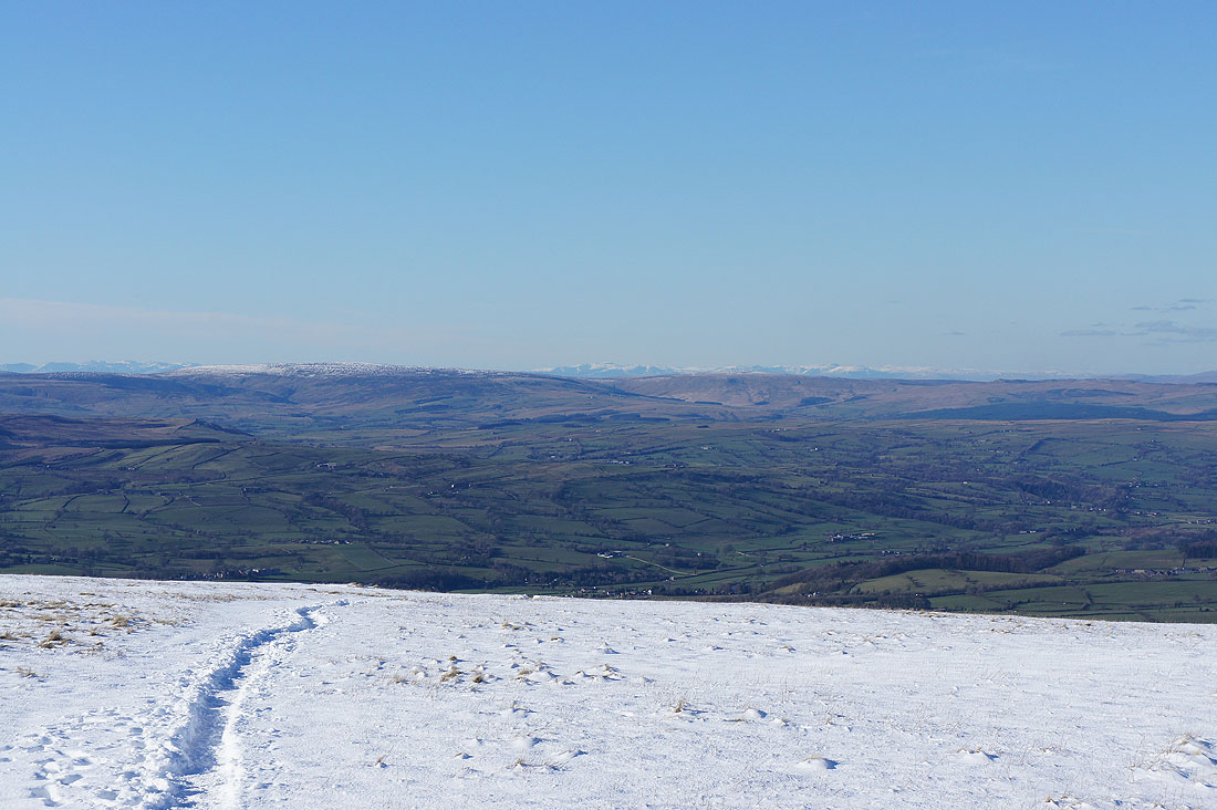
Now looking north to the fells of the Yorkshire Dales. It's so easy to make them out. From left to right; Gragareth and Great Coum, Ingleborough, Penyghent, Fountains Fell, Buckden Pike and Great Whernside. I wish it was like this when I was on Ingleborough yesterday.
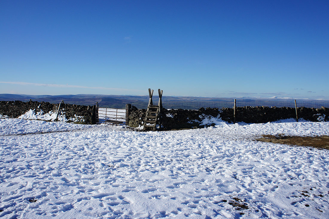
The stile
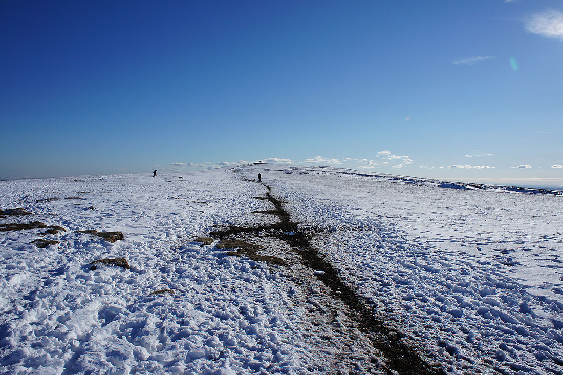
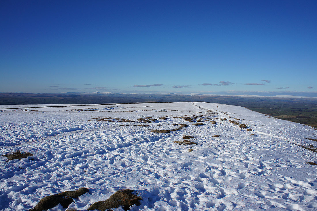
The summit ahead and I won't be alone
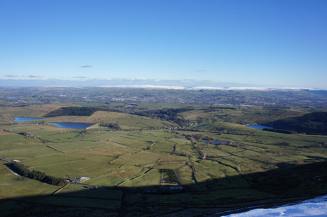
The Black Moss Reservoirs, Barley and Lower Ogden Reservoir with Boulsworth Hill in the distance beyond Colne and Nelson
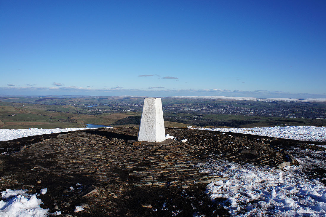
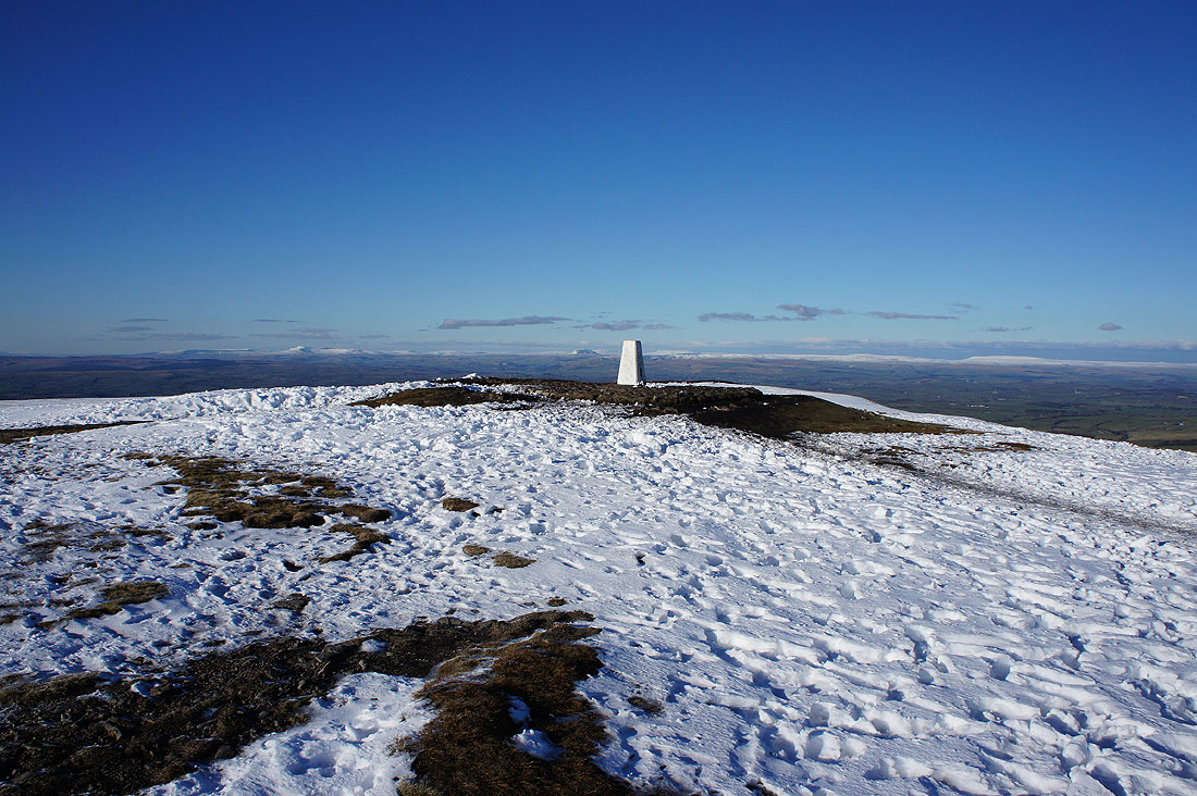
The summit trig point. It's quiet now and I'm in no hurry to move on. Nice to have the place to myself for a few moments.
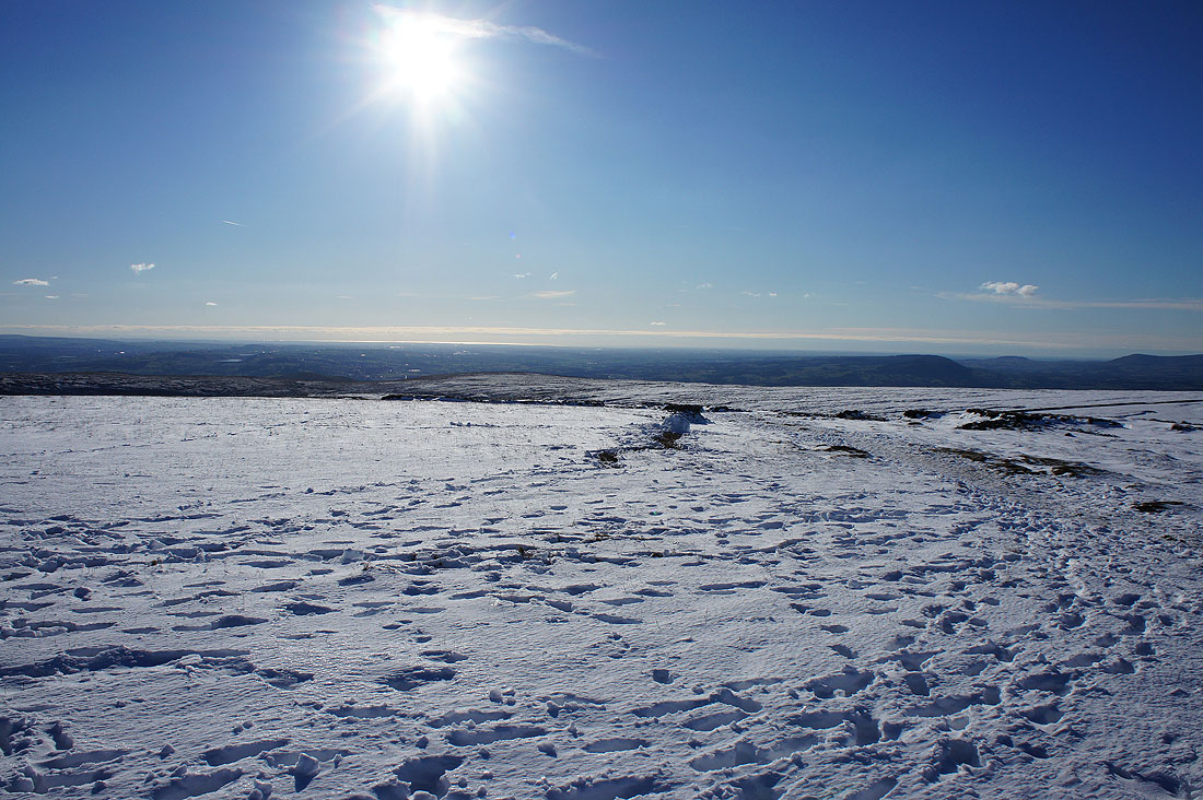
The Ribble valley out to the west with the sun shining on the Irish Sea
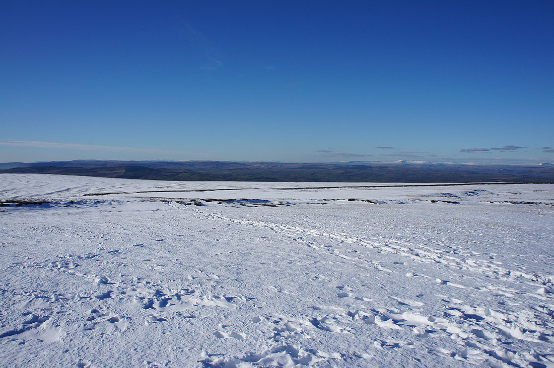
The fells of the Forest of Bowland round..
..to those of the Yorkshire Dales
A last look back to the summit..
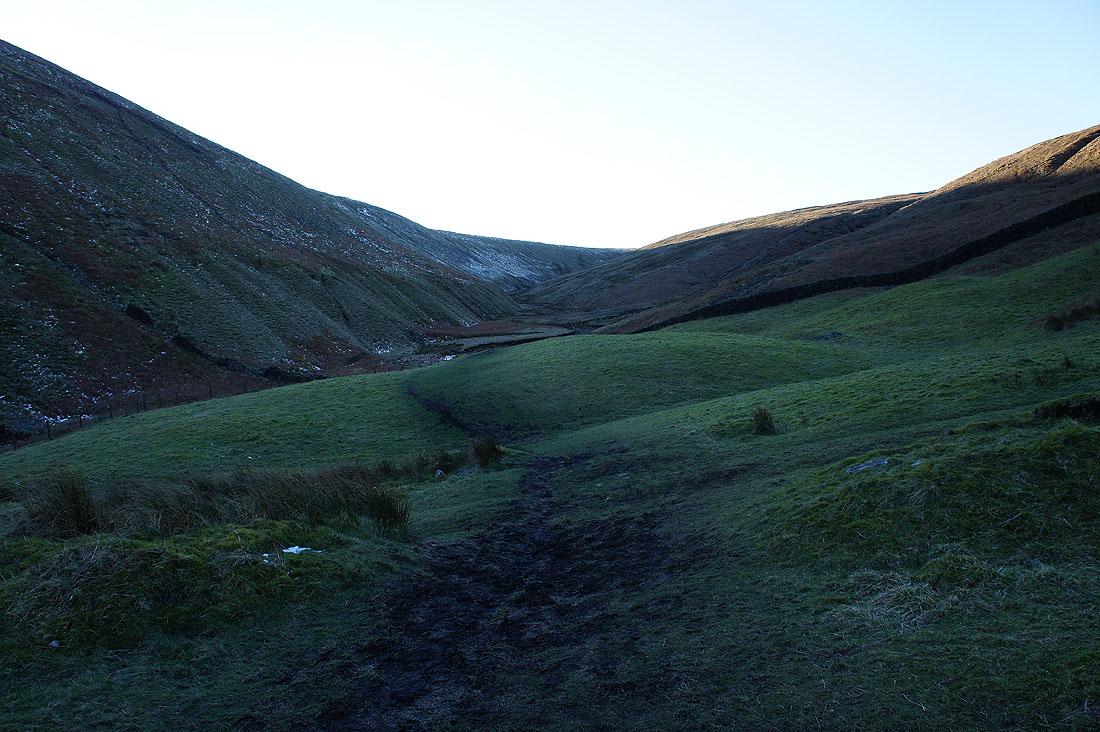
..as I take the Pendle Way and head for Boar Clough
The lowering sun casts a lovely light on the hillside
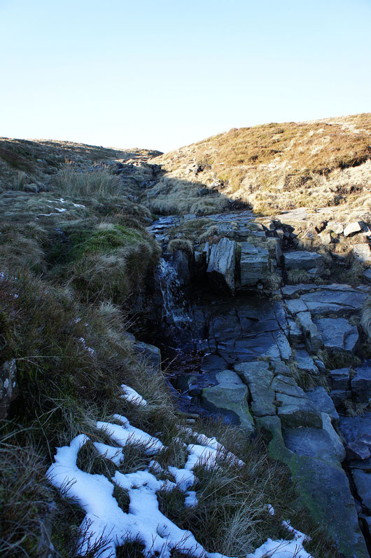
Boar Clough
Ogden Clough
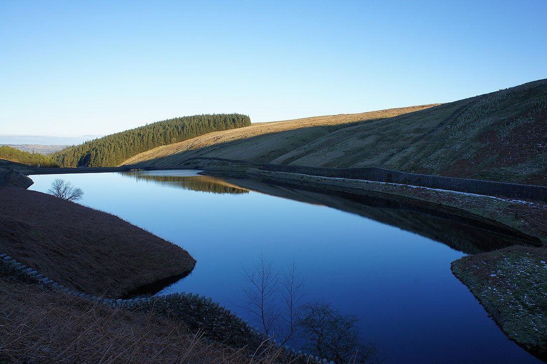
Upper Ogden Reservoir
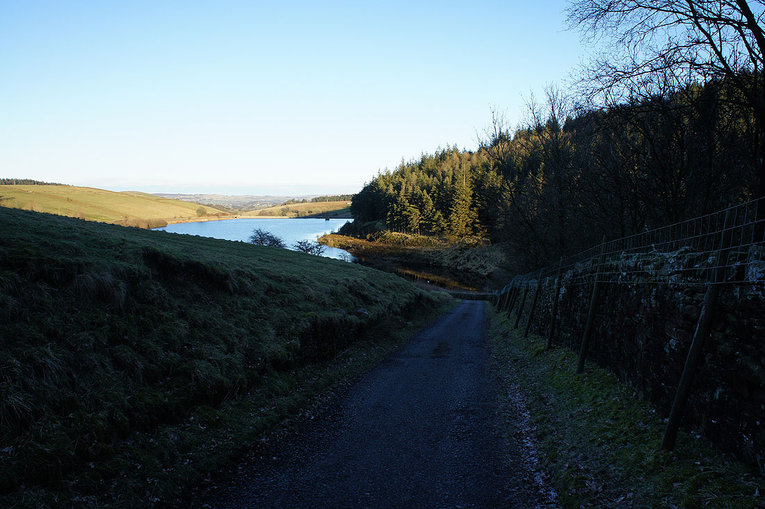
and heading down to Lower Ogden Reservoir
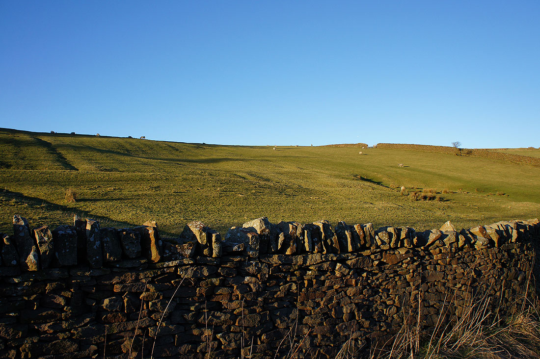
The low sun highlights the undulations in the hillside
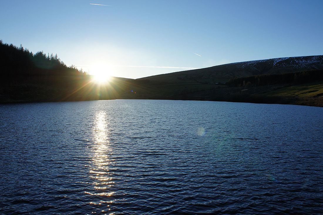
The sun sets over Lower Ogden Reservoir