7th March 2021 - Weets Hill and Kelbrook Moor
Walk Details
Distance walked: 17.0 miles
Total ascent: 2372 ft
OS map used: OL21 -South Pennines
Time taken: 8 hrs
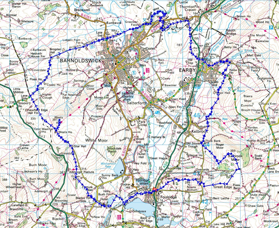
Route description: Foulridge-B6251-Reedymoor Lane-Sand Hall-Slipper Hill Reservoir-Barnoldswick Road-Hollin Hall-Blacko Hill-Pendle Way-Gisburn Old Road-Weets Hill-Pennine Bridleway-Brogden Lane-Greenberfield Lane-Greenberfield Locks-Pendle Way-B6252-Pendle Way-Earby-Pendle Way-Heads Lane-Paris Farm-Cob Lane-Kelbrook Moor-Harwes Farm-Great Edge-Cob Lane-Noyna End Farm-Noyna Hill-Skipton Old Road-Foulridge
After last weekend's long walk from home to Pinhaw Beacon I thought I'd try working out a route for another one. This time I had to go in the other direction, west, from home, and inevitably that meant that Weets Hill would be included. The route up to Weets Hill and then following the Pennine Bridleway north from there was familiar territory, with me having walked it many times during the past few months. A lot of the next part of my walk was new though, walking along Brogden Lane to Barnoldswick, and the Pendle Way from the Leeds and Liverpool Canal to Earby. When I reached the Leeds and Liverpool Canal at Greenberfield Locks I had the option of following the canal towpath south back home for a shorter option, but I'd made good time so I stuck to my original plan, which meant that after having grey skies for most of the day I could take in the sunset from Noyna Hill as the clouds broke up at the end of the afternoon.
From where I live in Foulridge I walked up to and then west along the B6251, then along Reedymoor Lane to Foulridge Lower Reservoir. I then walked up the track to Sand Hall, took the footpath on the left past Slipper Hill Reservoir and to Slipper Hill, where I crossed the lane and took the footpath opposite past cottages and up the hillside to Barnoldswick Road. After crossing the road I took the footpath opposite from Hollin Hall up onto Blacko Hill and then north to join the Pendle Way to Gisburn Old Road. I then walked up Gisburn Old Road to its top at Weets House Farm, and from there I took the path to the top of Weets Hill. After a stop for a break and to take in the view, I returned to the top of Gisburn Old Road and took the Pennine Bridleway and followed it north until I reached its junction with Stocks Lane and Brogden Lane. Here I turned right and walked down Brogden Lane to Barnoldswick and the B6251, which I crossed, and then I walked along Greenberfield Lane to Greenberfield Locks on the Leeds and Liverpool Canal, where I stopped for lunch at the picnic site there. For the next part of my walk I followed the trail of the Pendle Way, briefly north by the canal, then east and south to Earby and then Kelbrook. I finally left the Pendle Way when it reached Heads Lane, which I crossed, and I took the footpath opposite down to and across Harden Beck, and then up the hillside past Paris Farm and to Cob Lane. After a brief walk up Cob Lane I reached the track on the left to Harden New Hall. I took the public footpath from here up onto Kelbrook Moor, following a wall uphill to reach the trig point, then a path down to the edge of access land at Harwes Farm, from where I took the footpath southwest onto Great Edge. I then followed the path west down Great Edge and across Moss Houses Beck and up to Cob Lane. A path from Cob Lane at Noyna End Farm took me up onto Noyna Hill, and the path west across its top and down to Skipton Old Road was followed. A short walk back to my home in Foulridge was left.
Route map
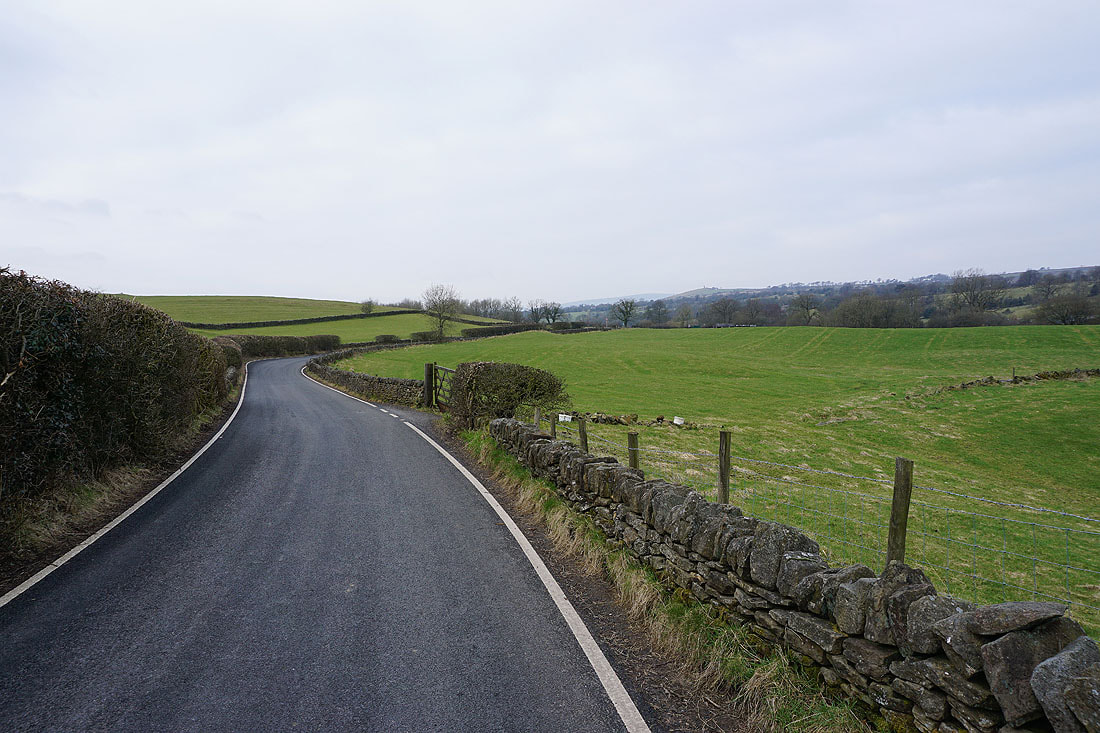
Leaving Foulridge on the B6251
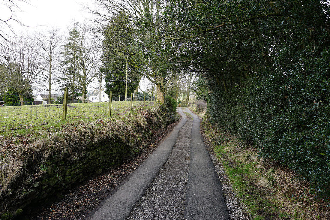
Heading up the track to Sand Hall
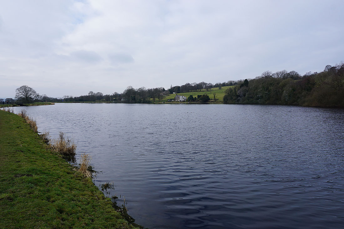
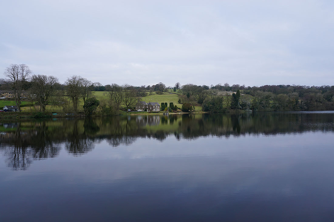
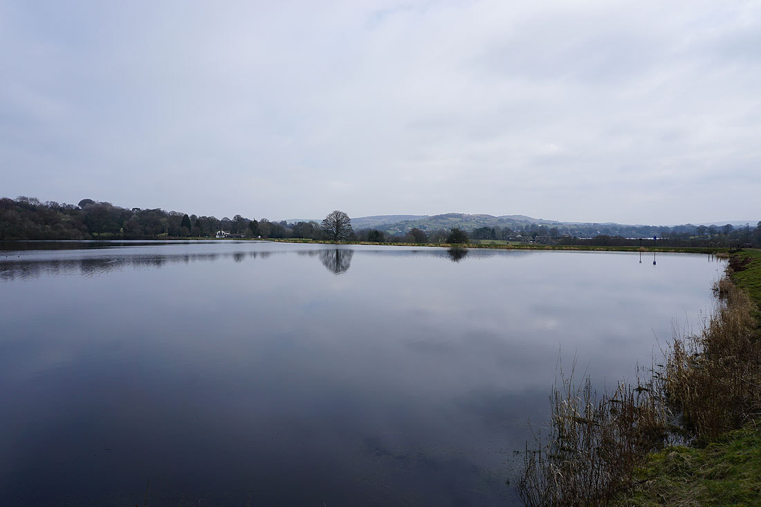
Some nice reflections as I make my way round Slipper Hill Reservoir...
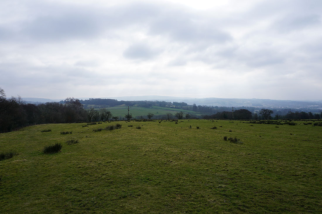
Boulsworth Hill in the distance from the path up to Barnoldswick Road
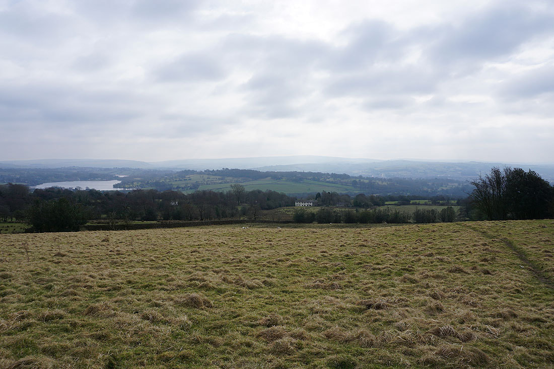
Foulridge Lower Reservoir and Boulsworth Hill from the path up onto Blacko Hill
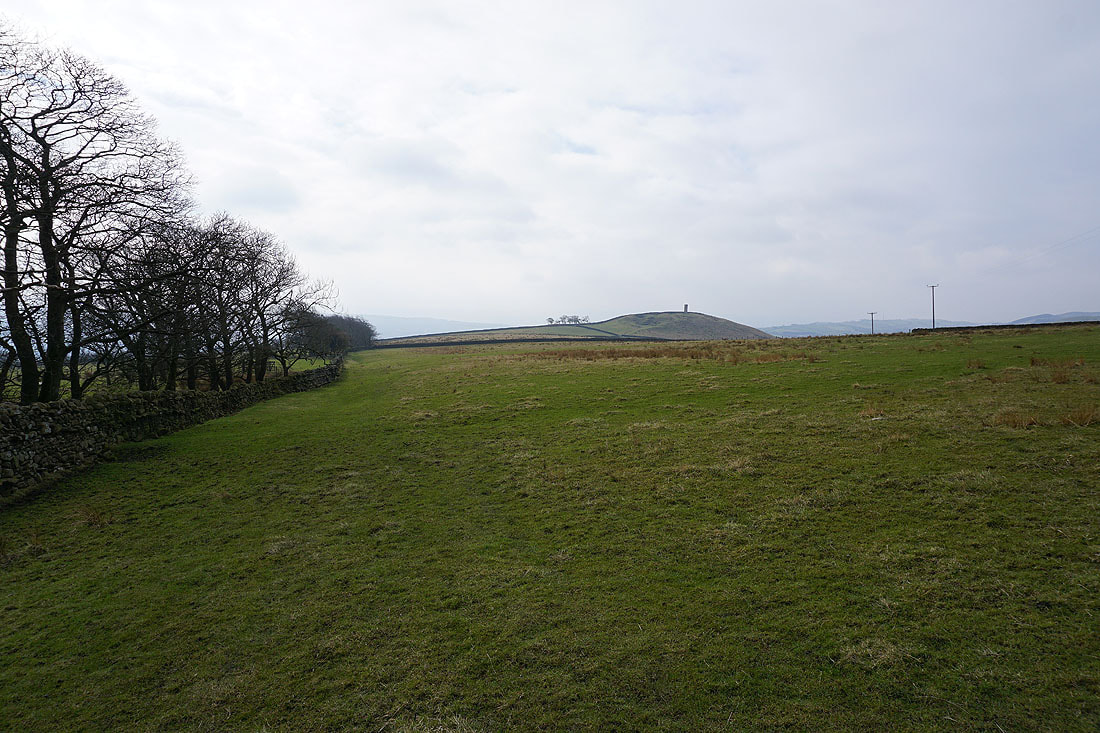
Stansfield Tower on Blacko Hill
Pendle Hill, Wheathead Height and Burn Moor
Blacko Hill, the Forest of Pendle and Pendle Hill from the Pendle Way
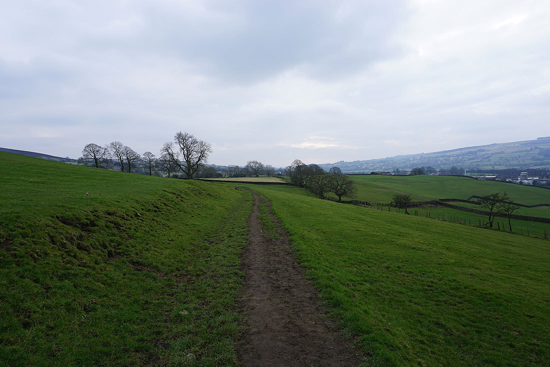
On the Pendle Way to Gisburn Old Road
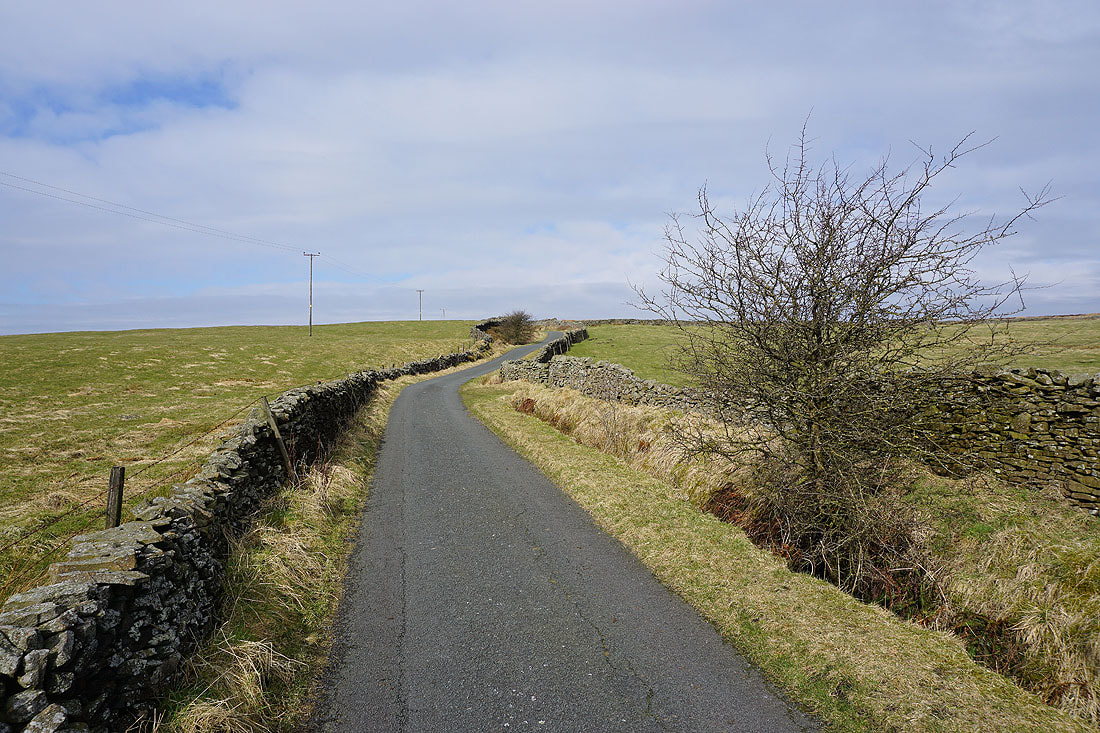
The sun is out as I head up Gisburn Old Road
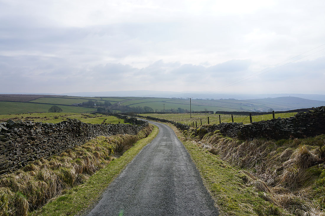
Looking back down Gisburn Old Road with Boulsworth Hill in the distance
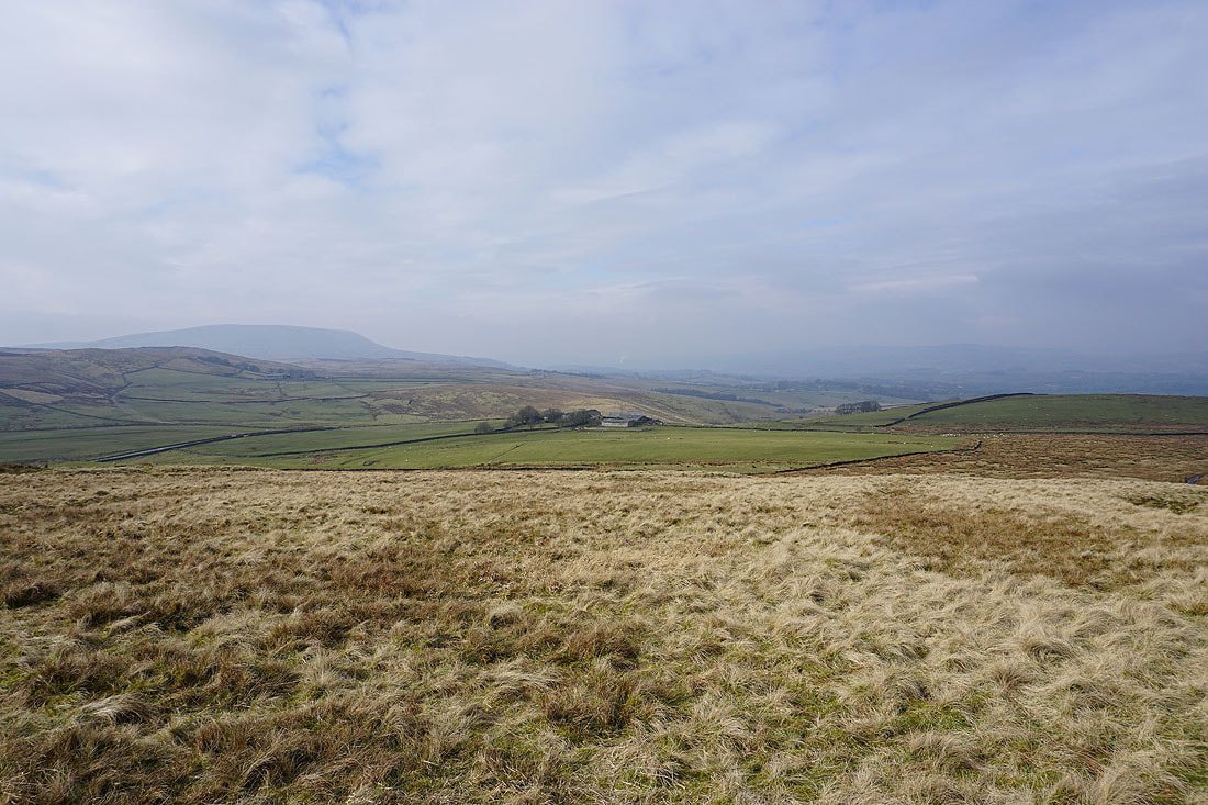
Pendle Hill and the Ribble Valley to the west as I head up onto Weets Hill
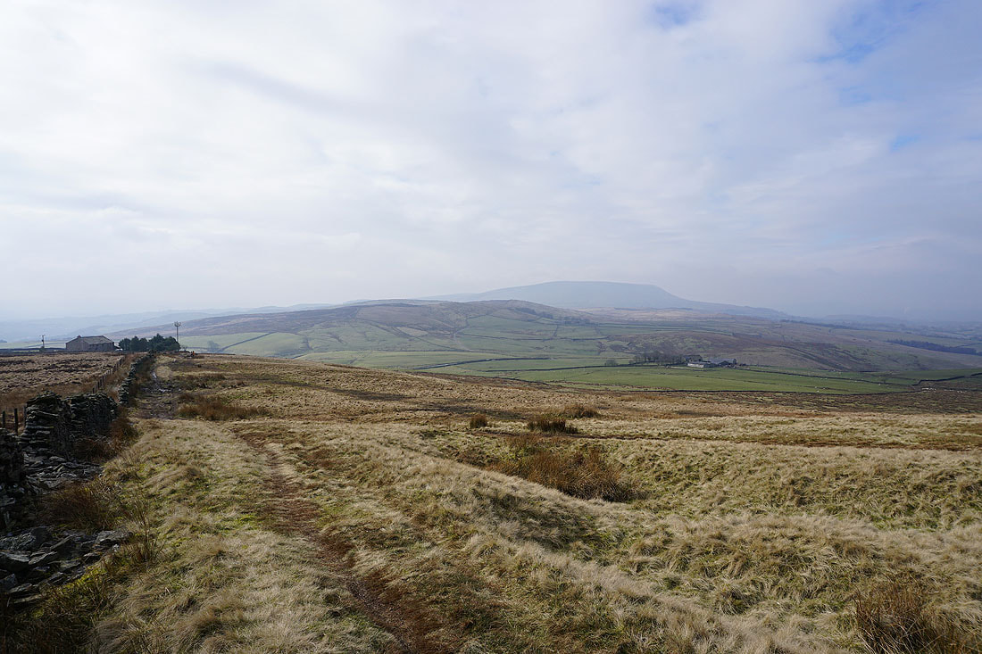
Burn Moor and Pendle Hill
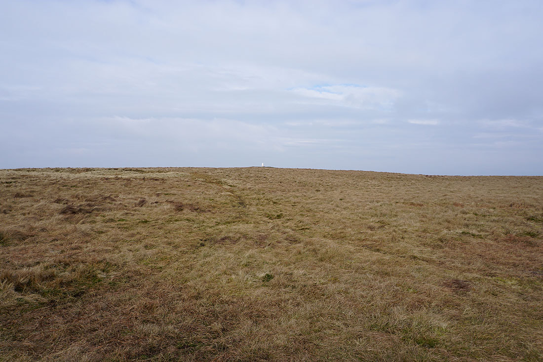
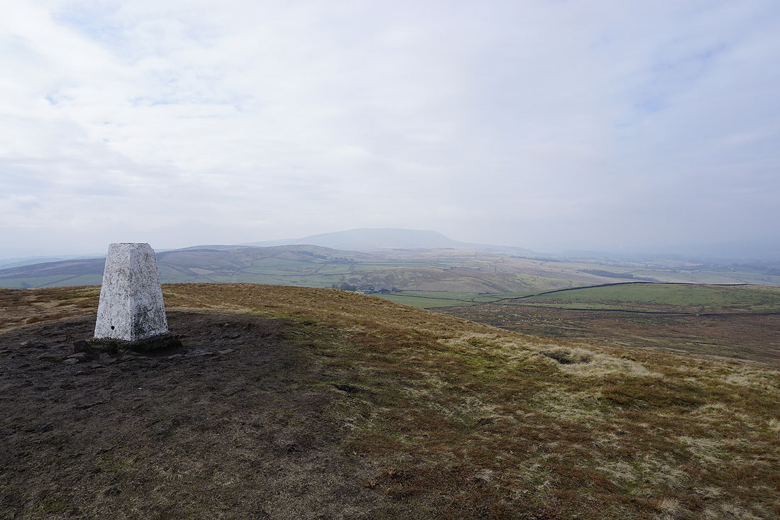
A bright white trig point above me as I cross to the other side of the hill
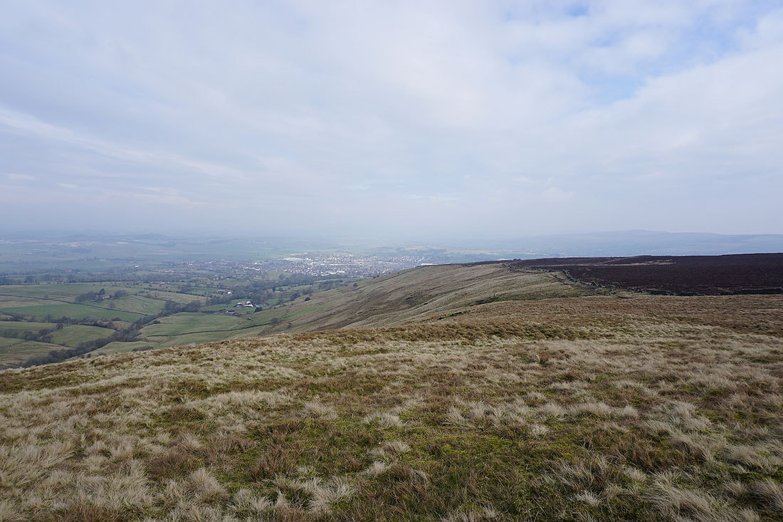
The town of Barnoldswick below. It's too hazy to see much further.
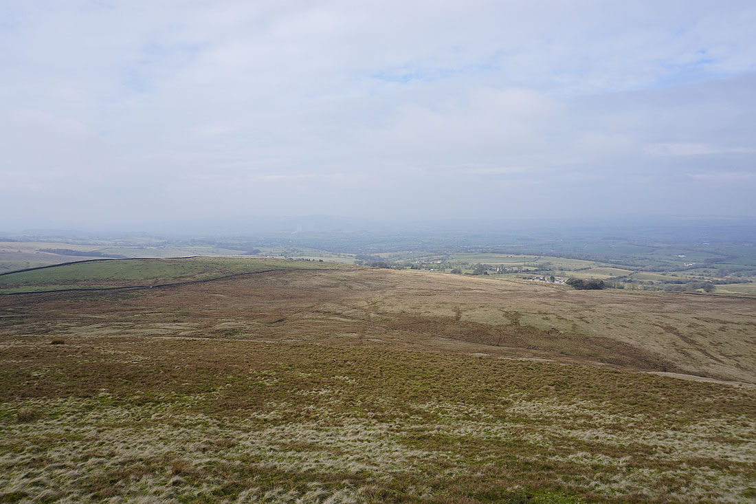
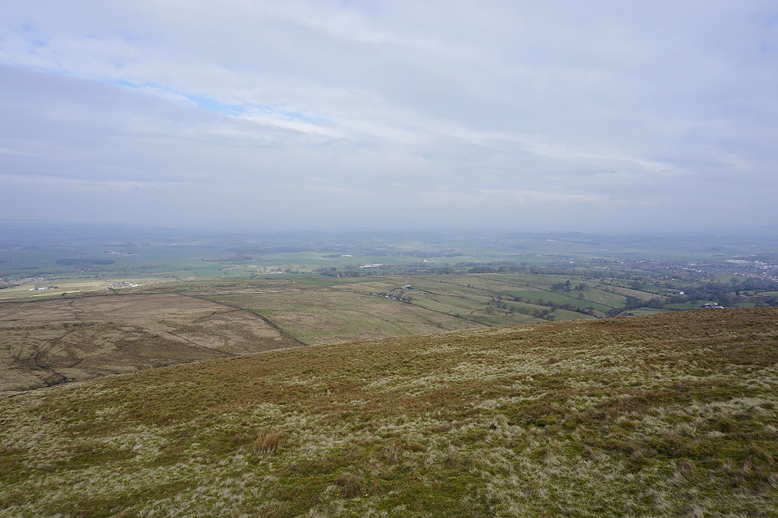
Looking north across the Ribble Valley. I can't make out the Forest of Bowland or the Yorkshire Dales..
Pendle Hill from the trig point on Weets Hill
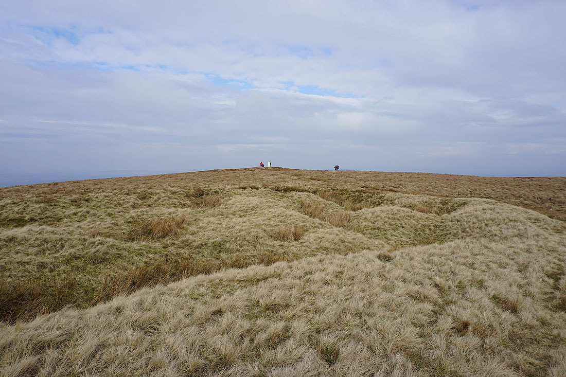
It's getting busy up there
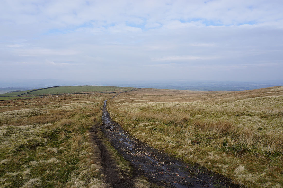
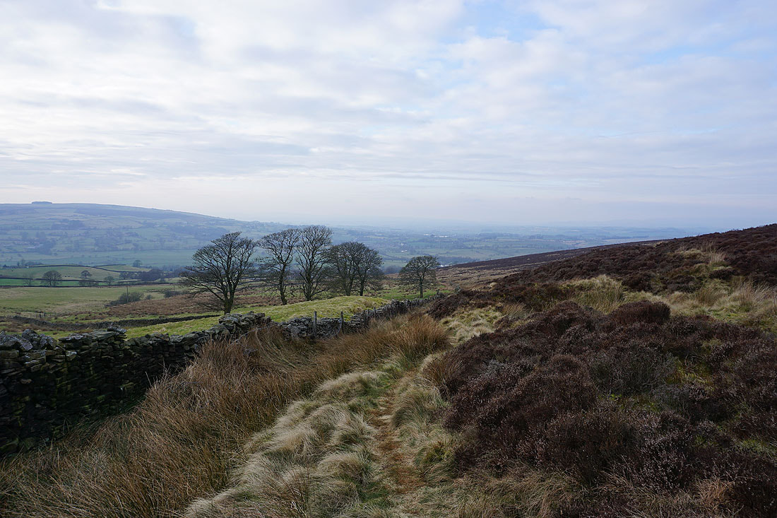
Onwards from Weets Hill and I follow the Pennine Bridleway north
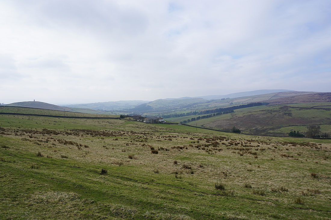
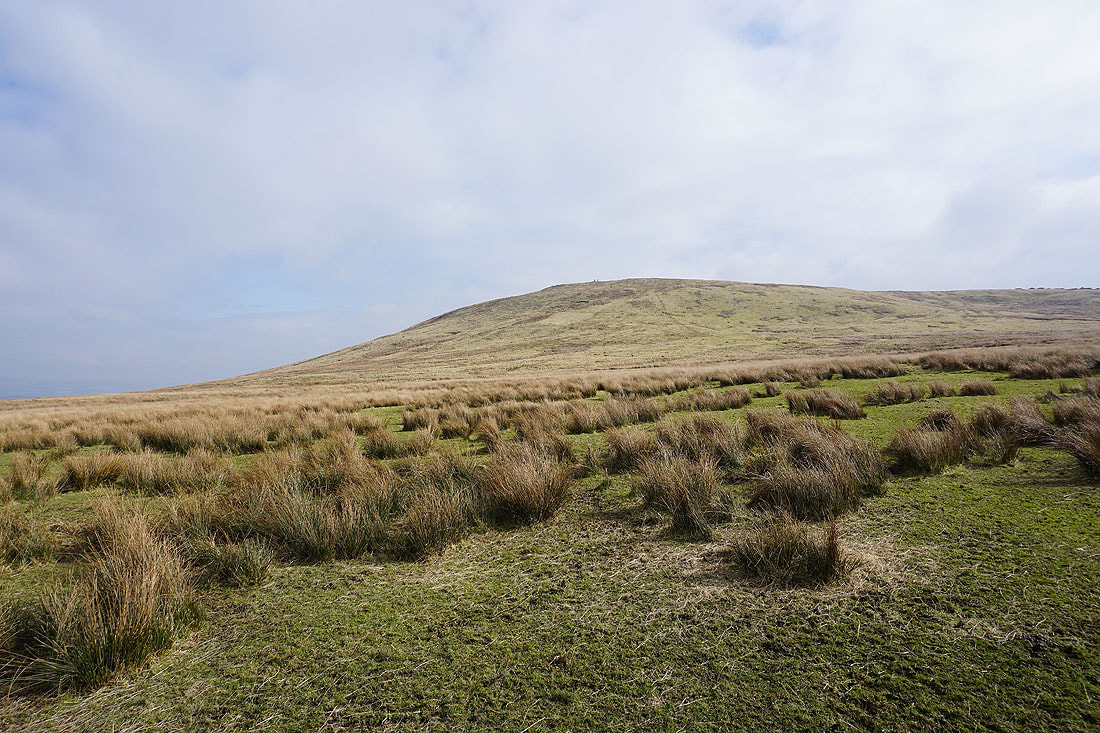
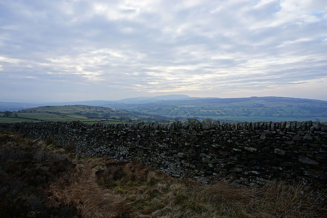
Weets Hill above me to my right
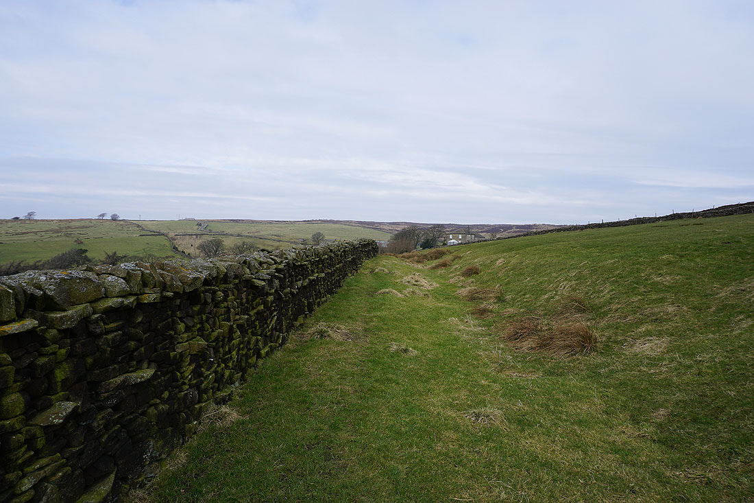
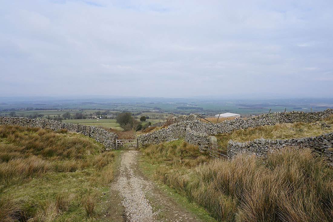
Following the Pennine Bridleway down to its junction with Brogden Lane..
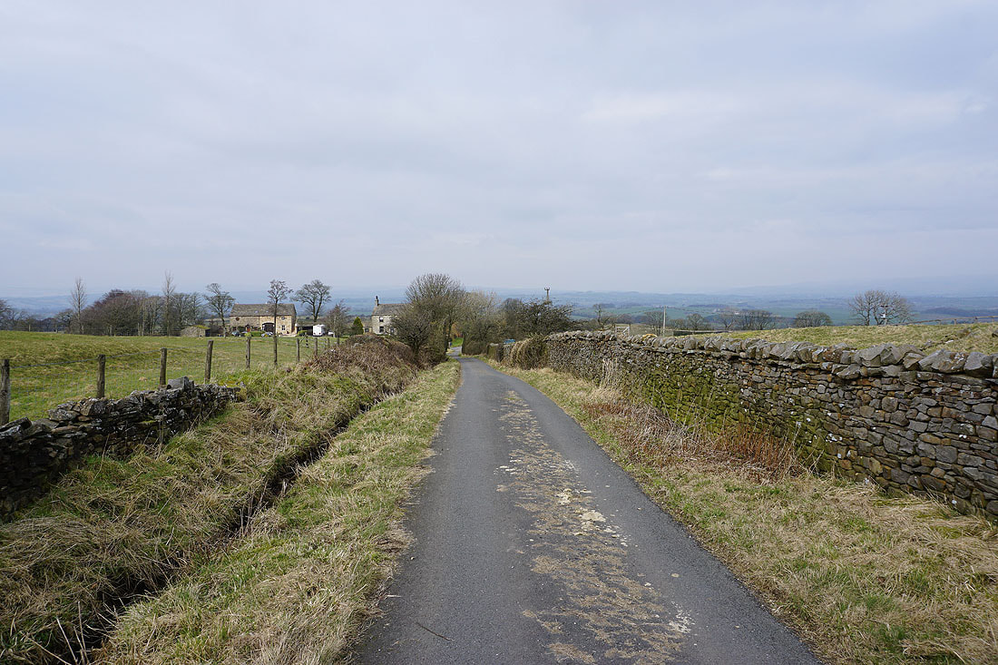
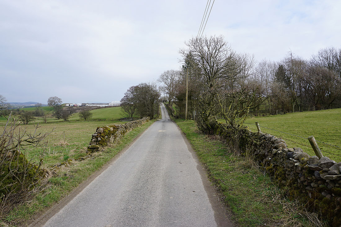
Now for the long walk down Brogden Lane to Barnoldswick
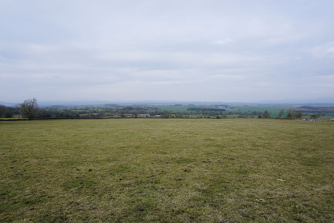
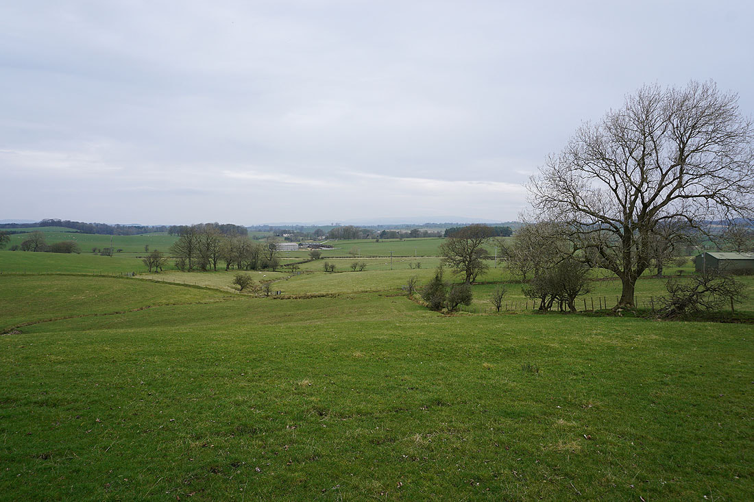
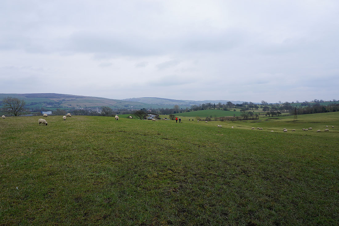
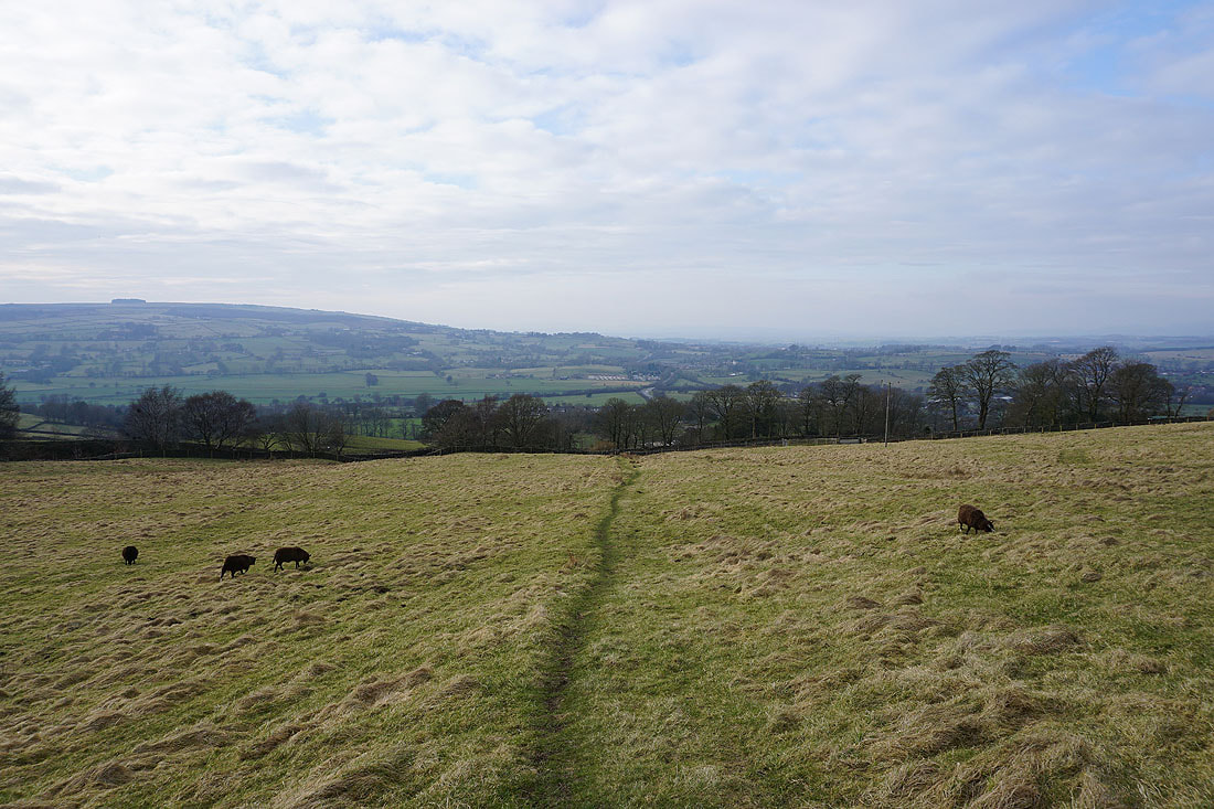
Views across the Ribble Valley to my left
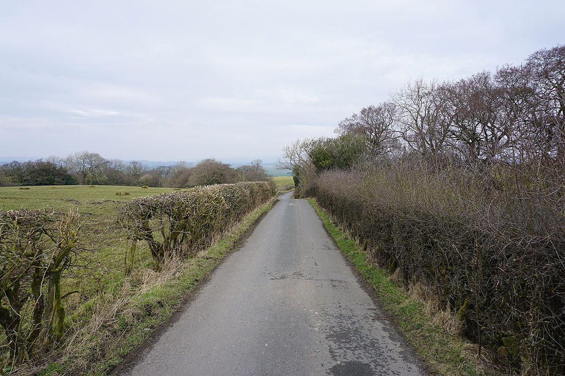
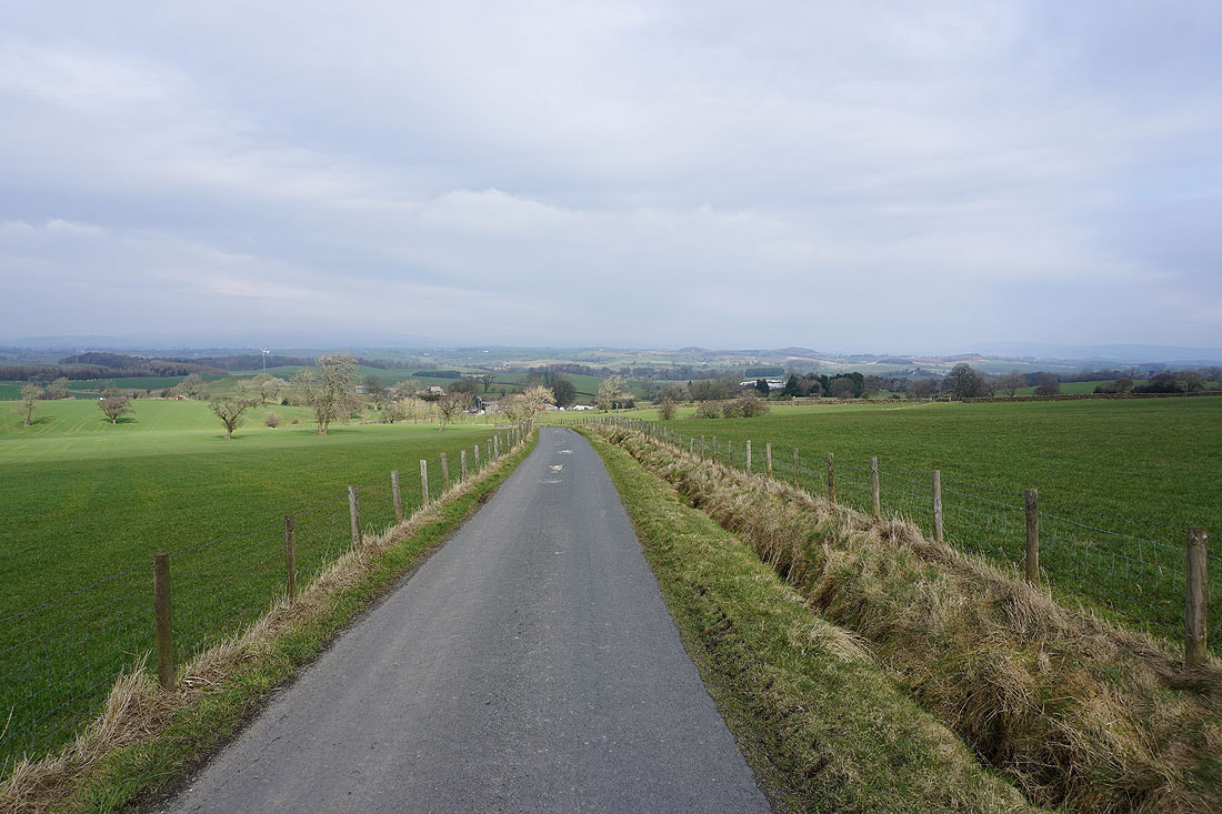
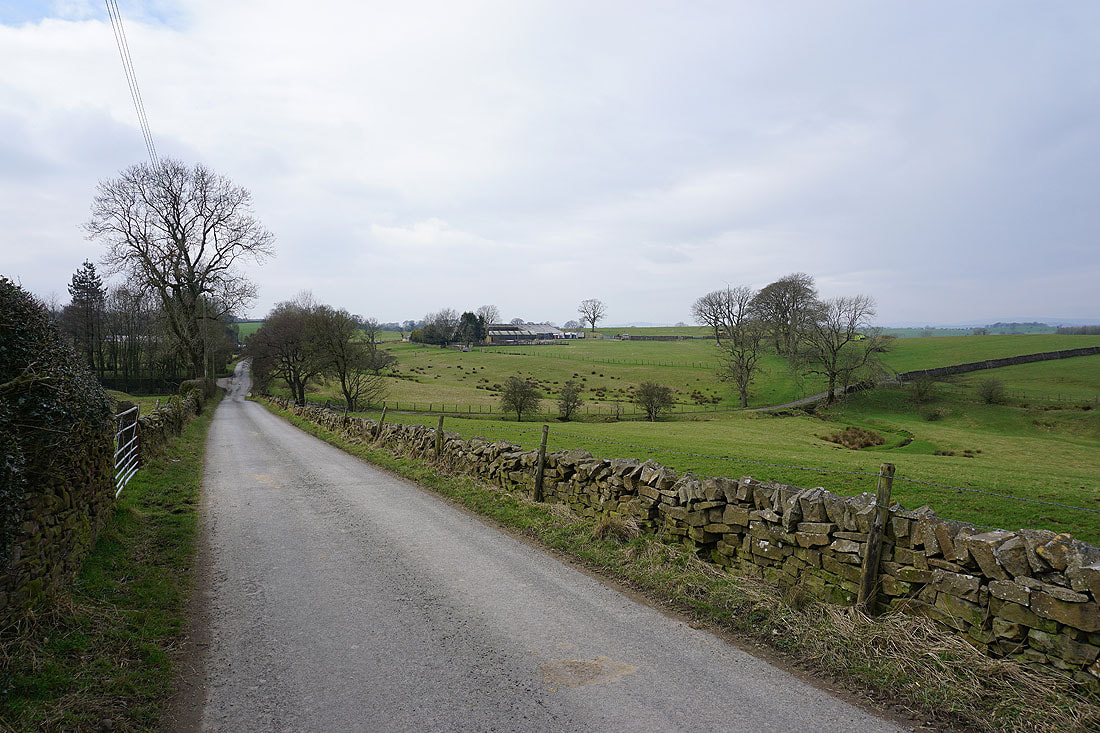
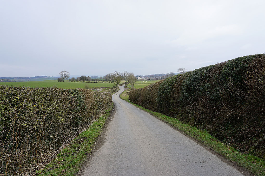
Heading down Brogden Lane to Brogden Hall
and then it's east to Barnoldswick....
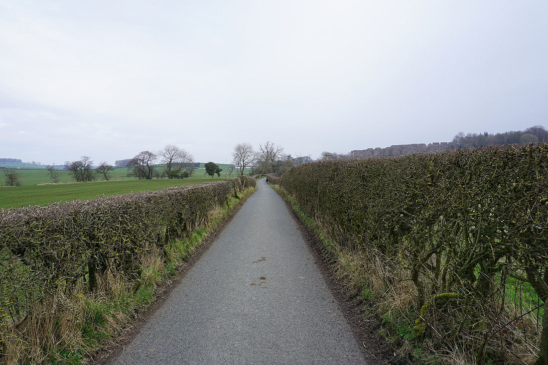
Having crossed Gisburn Road in Barnoldswick I'm now following Greenberfield Lane to Greenberfield Locks
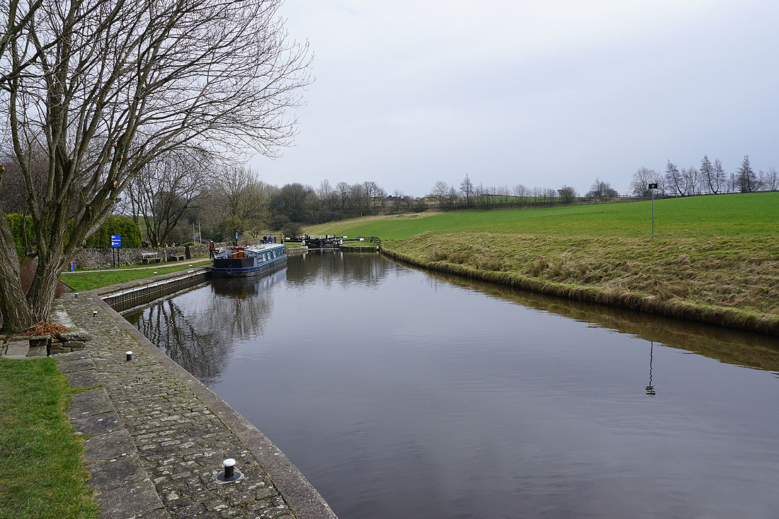
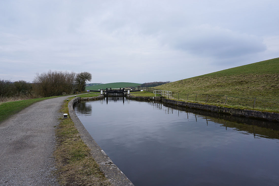
At Greenberfield Locks on the Leeds and Liverpool Canal. A conveniently placed picnic site is an ideal spot to stop for lunch....
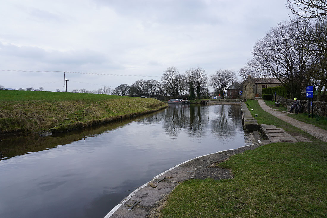
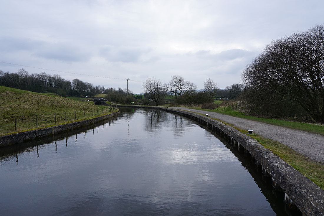
Looking south along the Leeds and Liverpool Canal as I cross it via a bridge carrying the Pendle Way
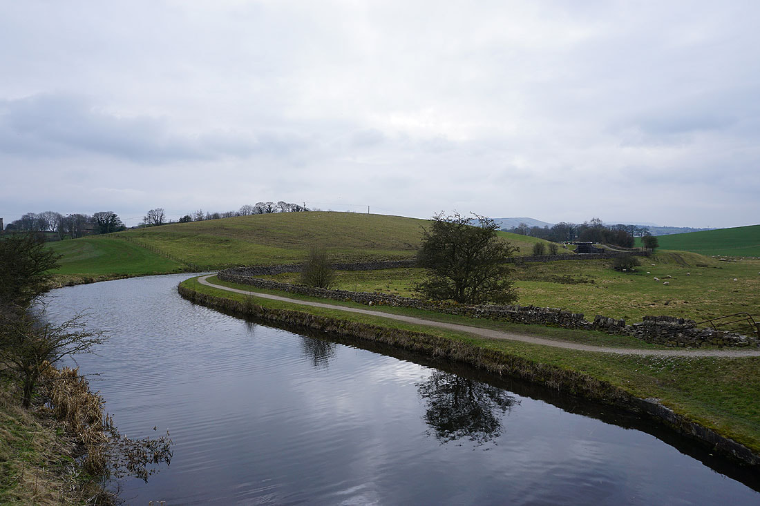
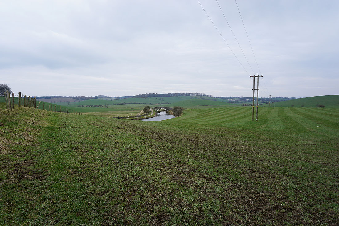
A last view of the canal as I follow the Pendle Way up to the B6252
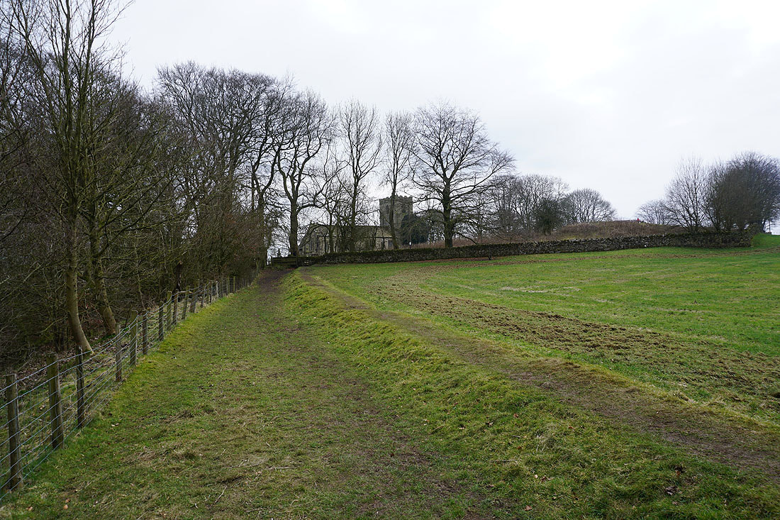
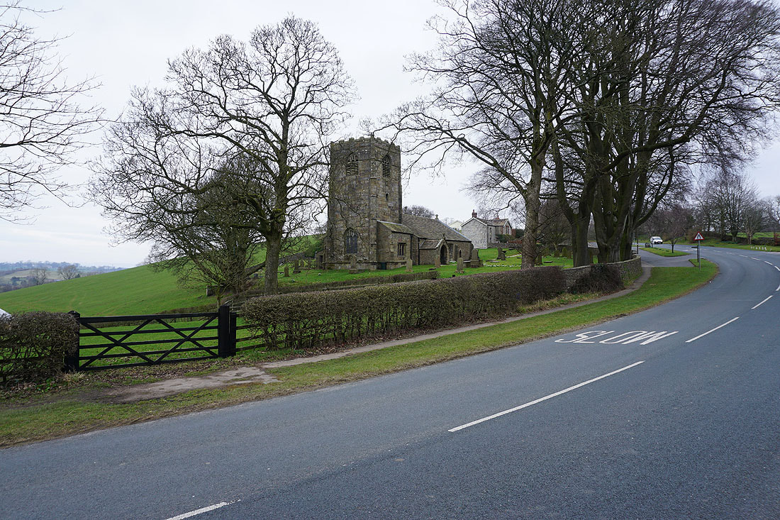
Approaching the church of St. Mary le Ghyll
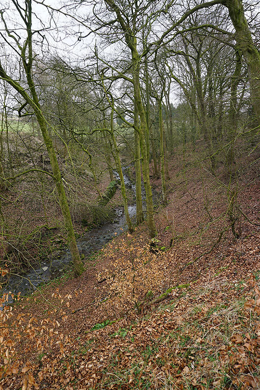
Gill Clough to my left
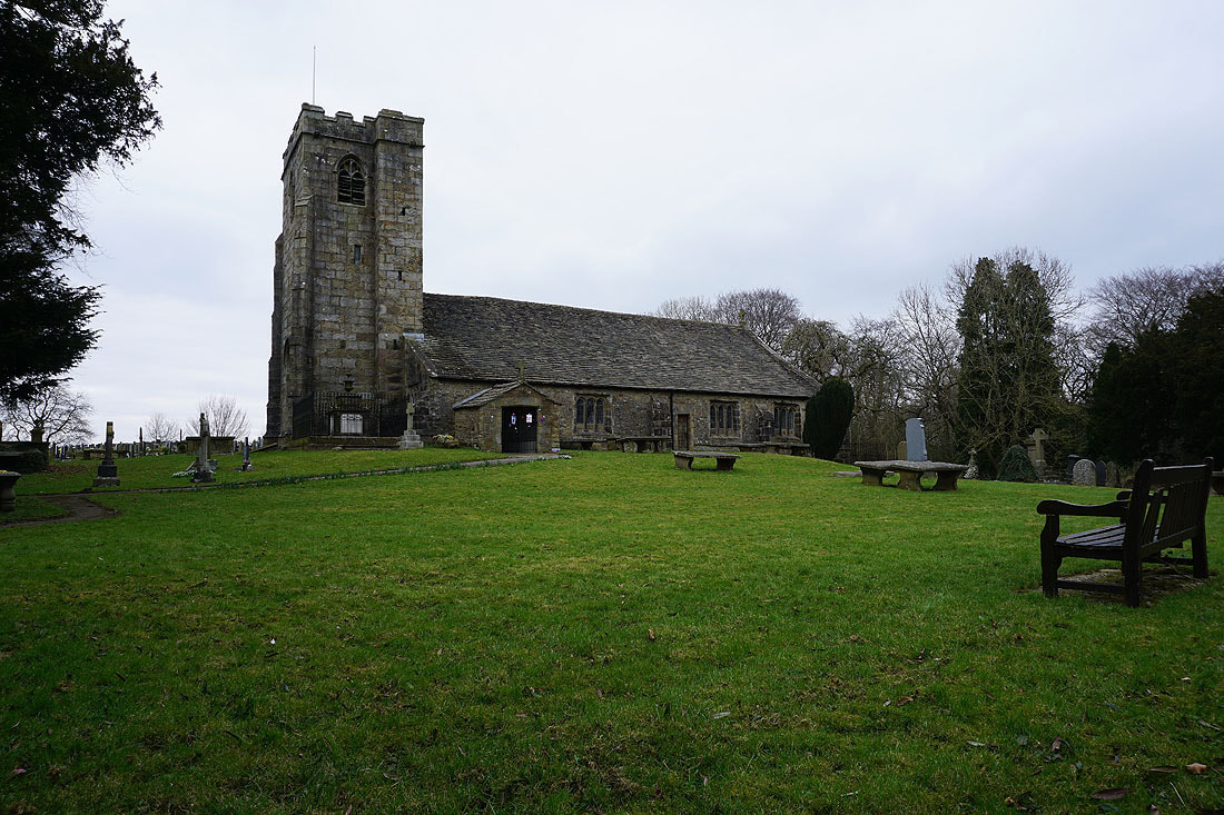
The church of St. Mary le Ghyll
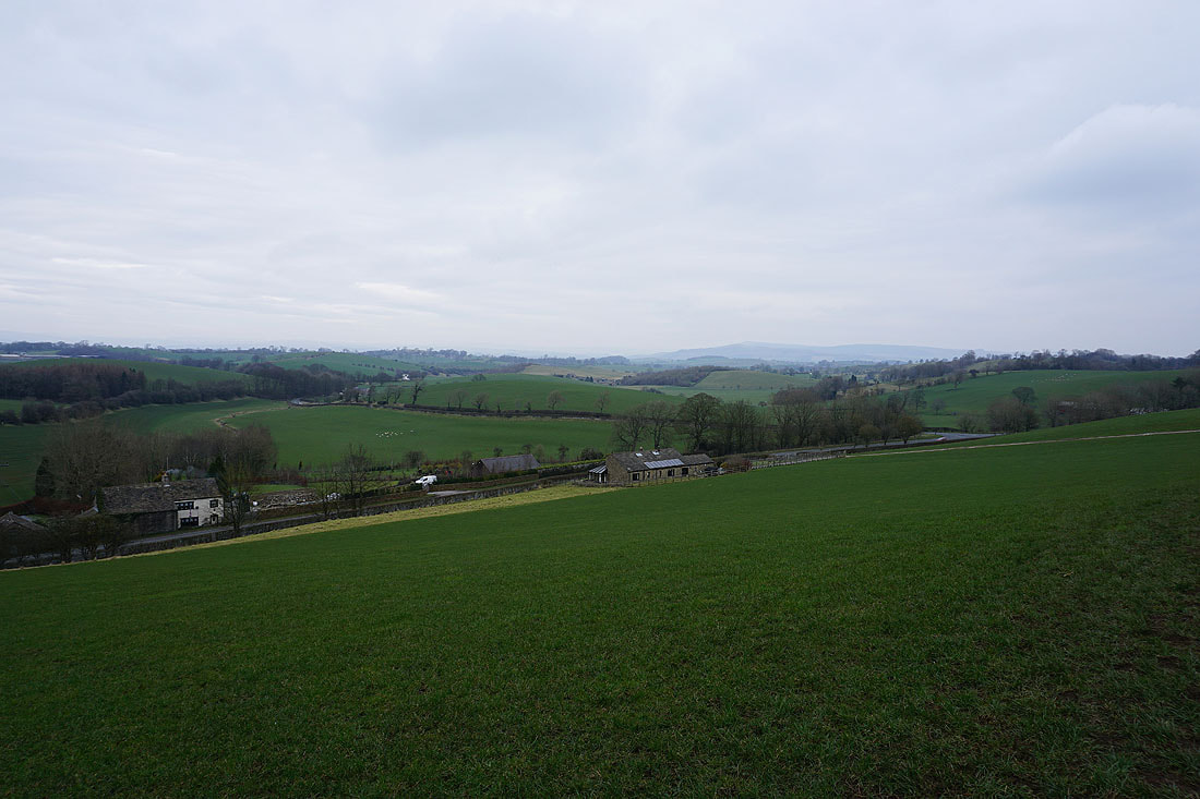
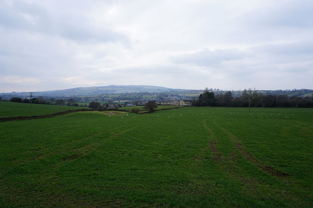
Barden Moor in the distance on the right as I follow the Pendle Way towards Thornton-in-Craven. The low rounded hills are typical of this area between the South Pennines and the Yorkshire Dales.
St. Mary's Church, Thornton-in-Craven
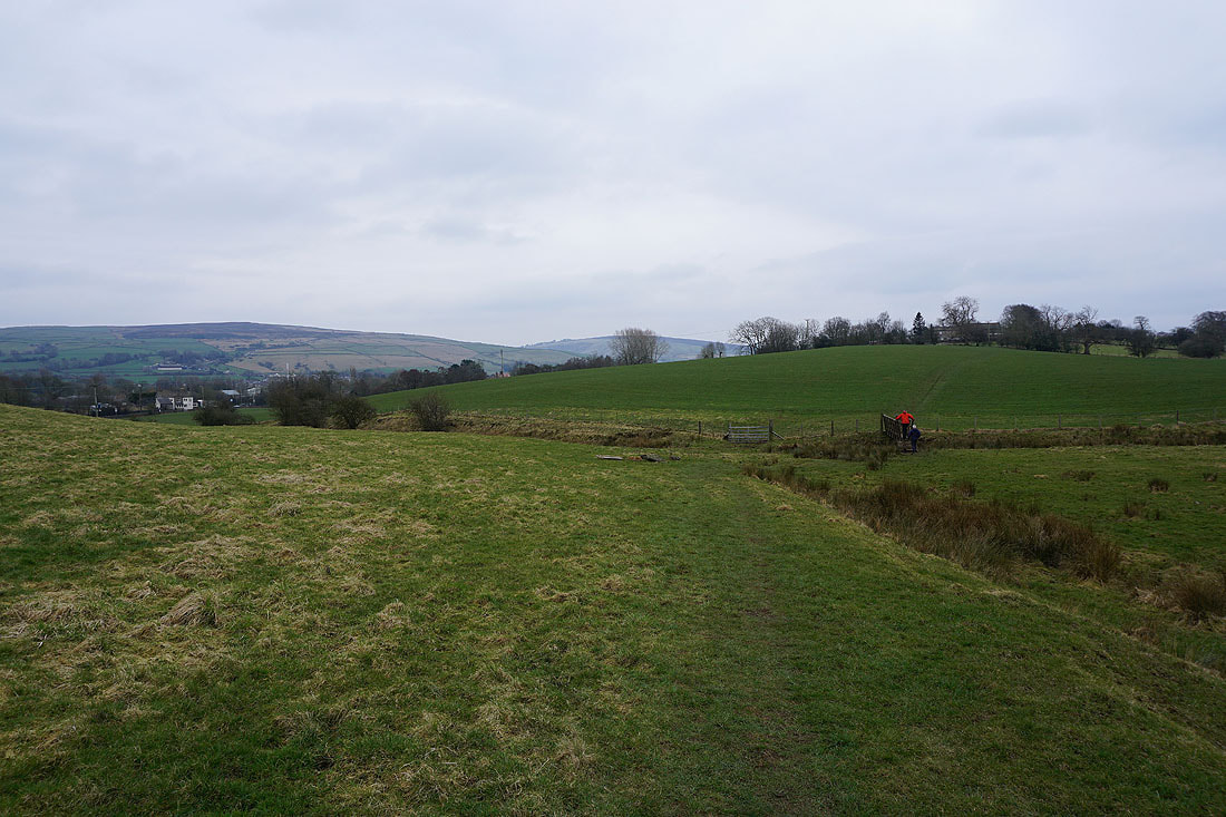
Following the Pendle Way to Earby with Bleara Moor and Kelbrook Moor in the distance...
White Moor in the distance as I leave Earby on the Pendle Way
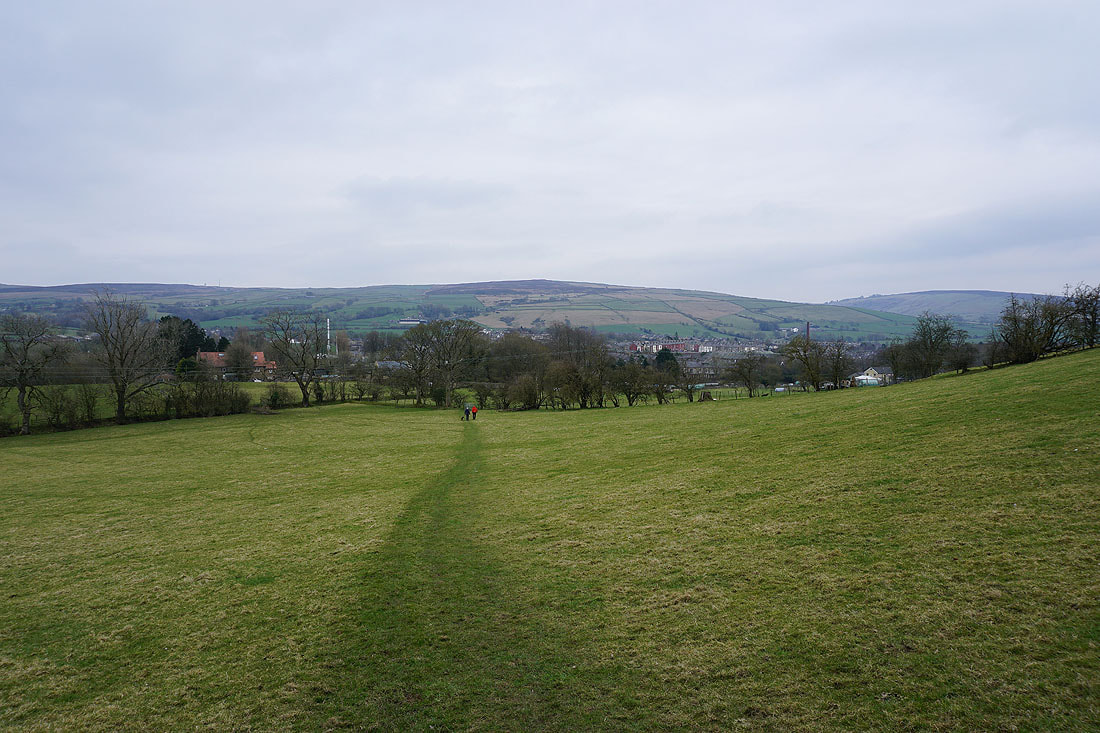
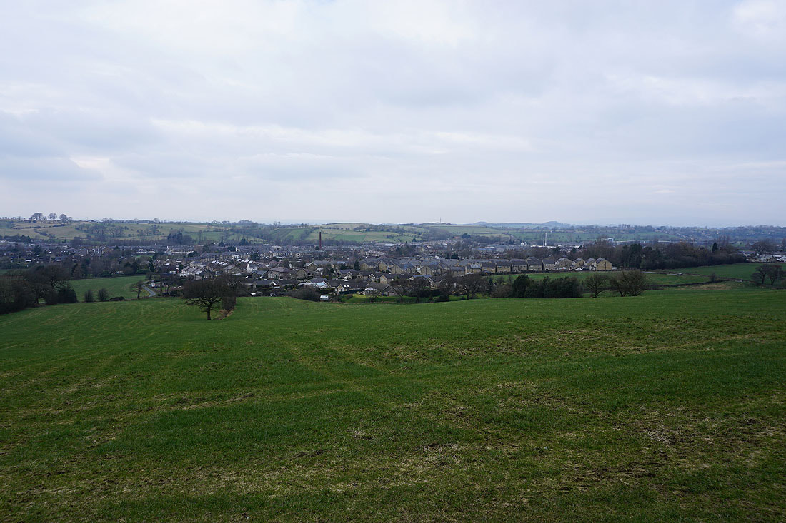
Looking across the rooftops of Earby to the countryside I walked through from the Leeds and Liverpool Canal
Heading south on the Pendle Way
The Pendle Way has been left for a footpath down to Harden Beck and up to Cob Lane
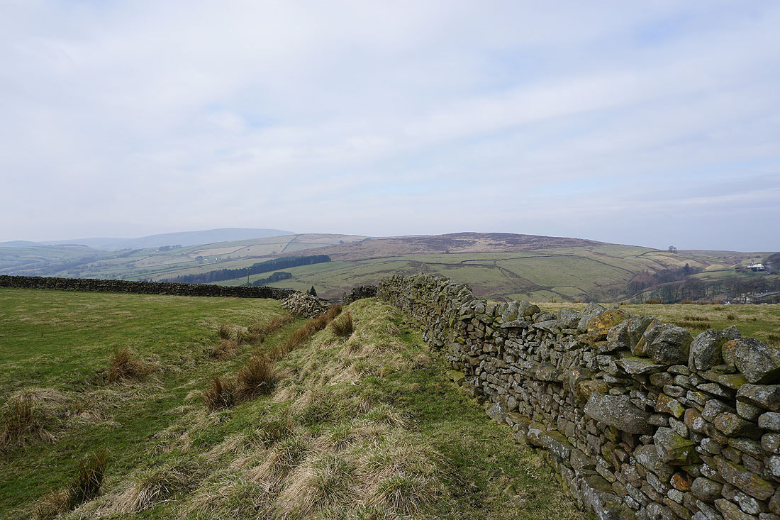
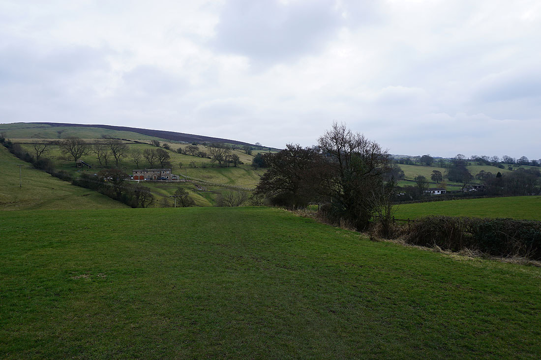
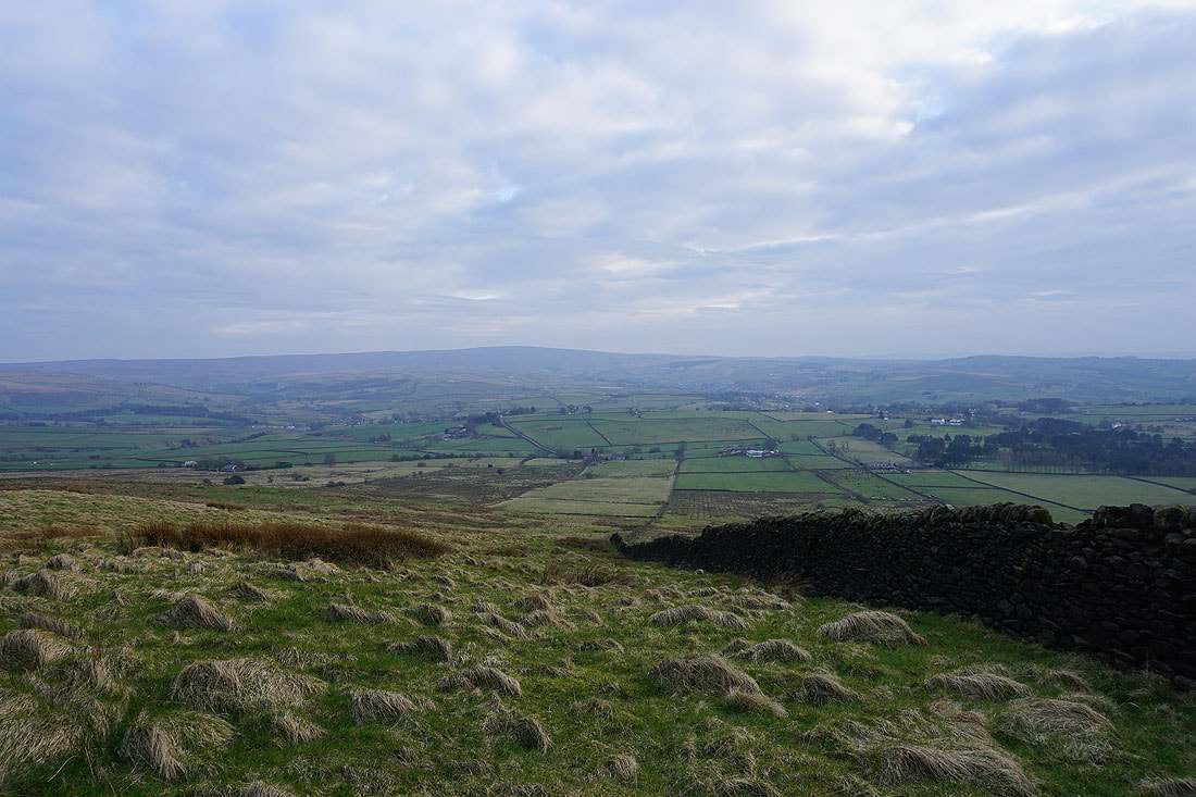
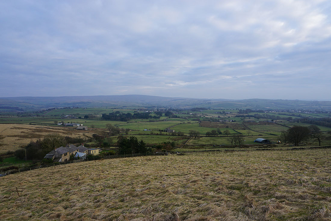
Looking north across the slopes of Kelbrook Moor and Bleara Moor as I reach Cob Lane
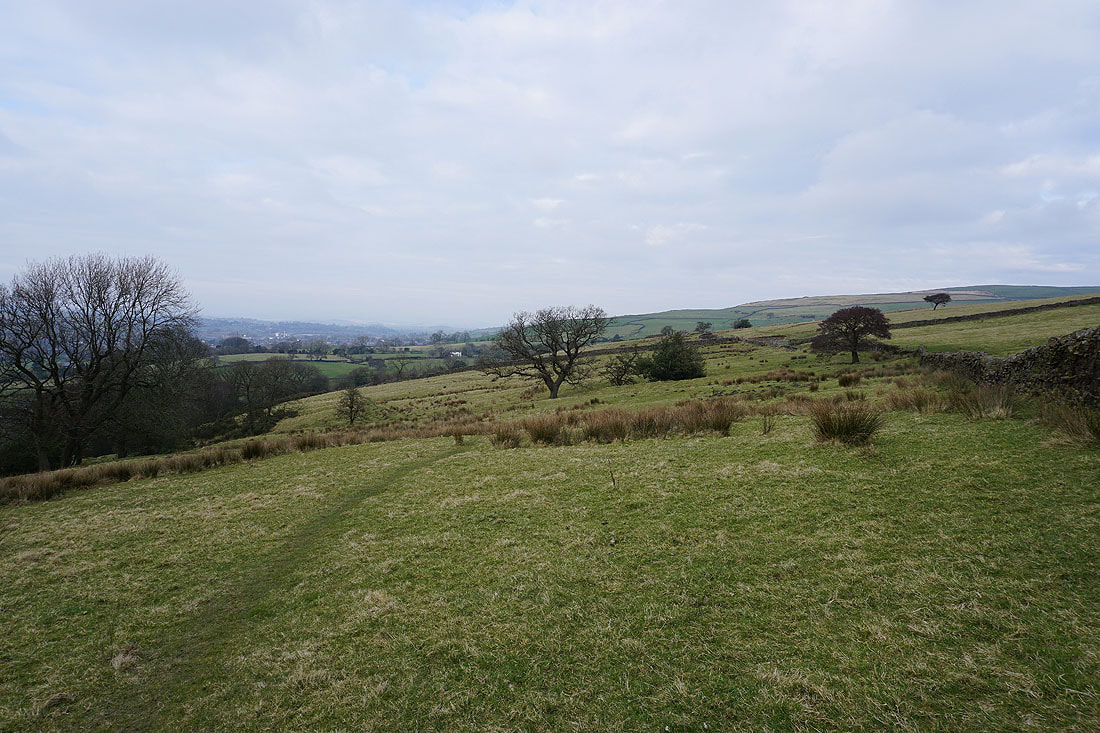
Looking back as I make my way up onto Kelbrook Moor. After hours of grey skies it looks like the cloud is breaking up..
Pendle Hill in the distance
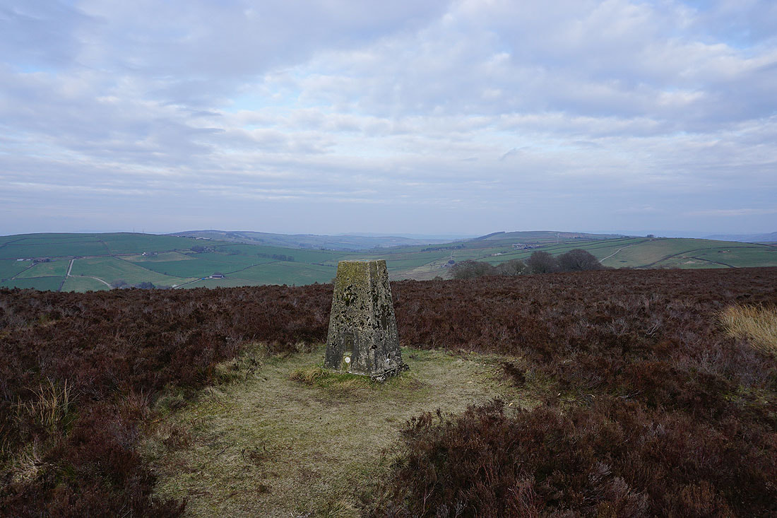
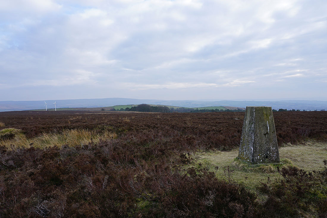
The moors around Lothersdale from the trig point on Kelbrook Moor
Looking south to Boulsworth Hill
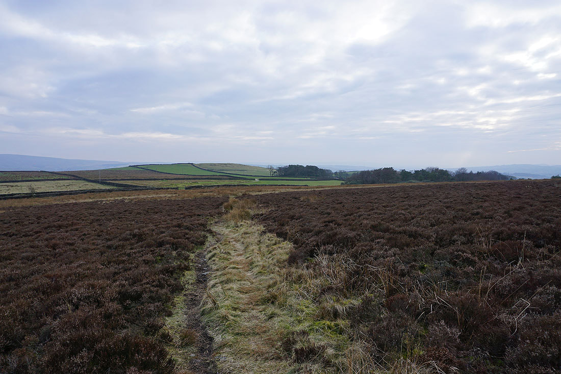
Heading from Kelbrook Moor to Great Edge
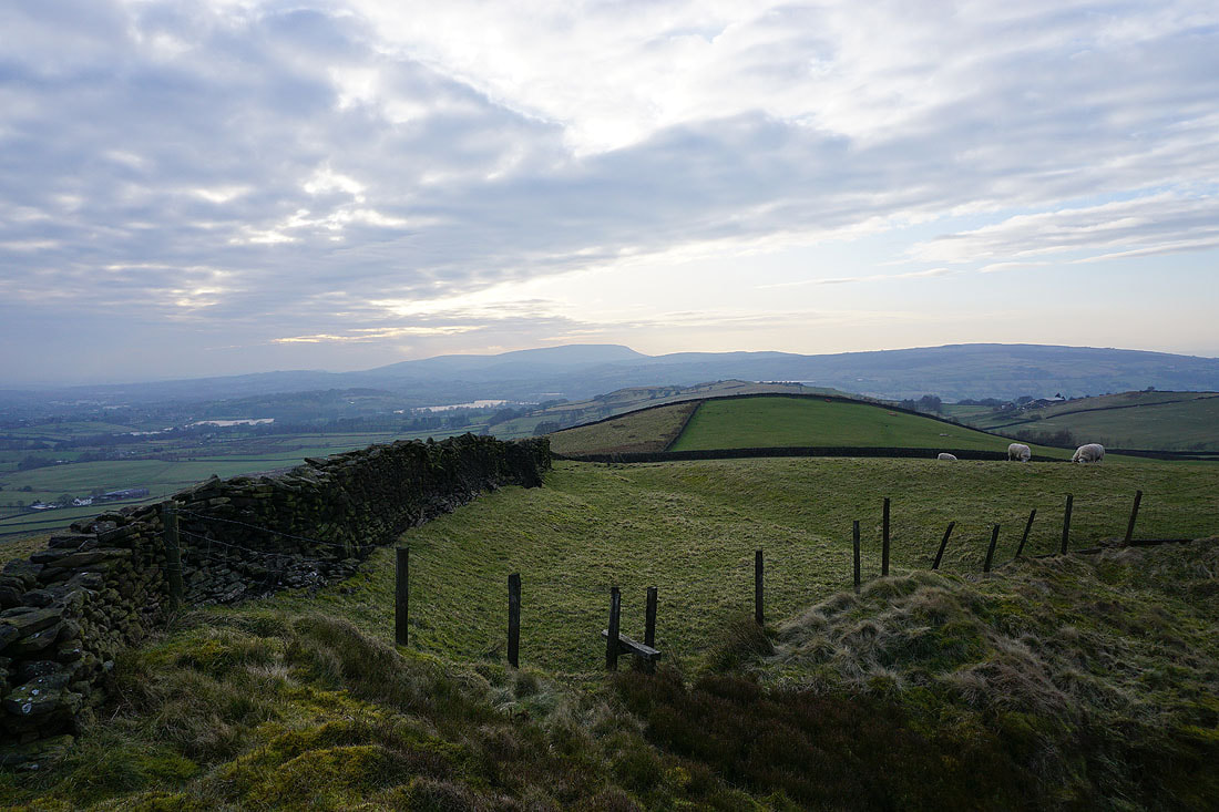
Foulridge Upper Reservoir and Lower Reservoir, and Pendle Hill from Great Edge..
Boulsworth Hill to the south from Great Edge
and again as I climb Noyna Hill from Noyna End Farm
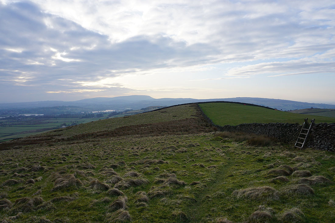
The sun comes out as I look across the top of Noyna Hill to Pendle Hill
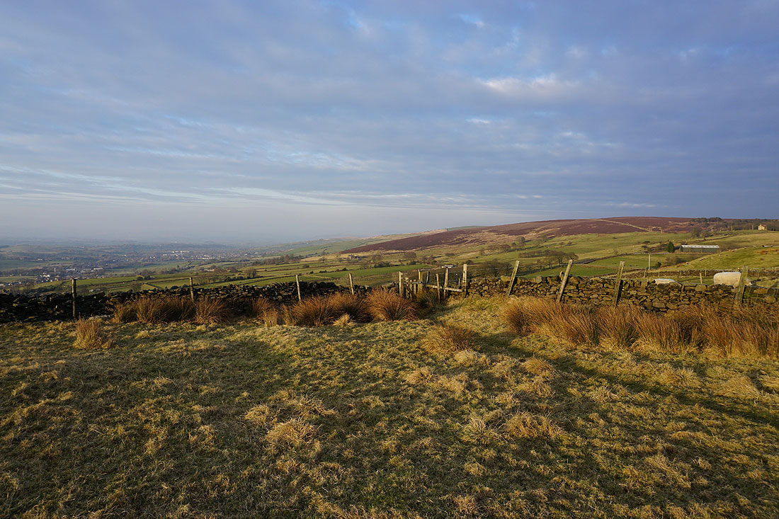
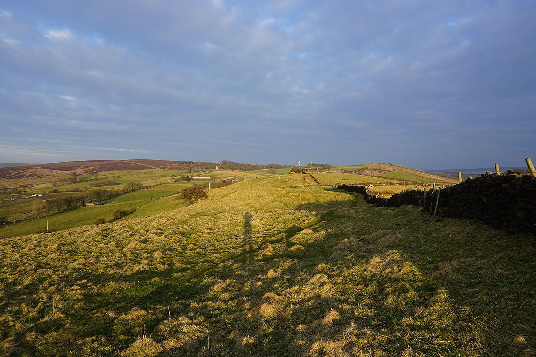
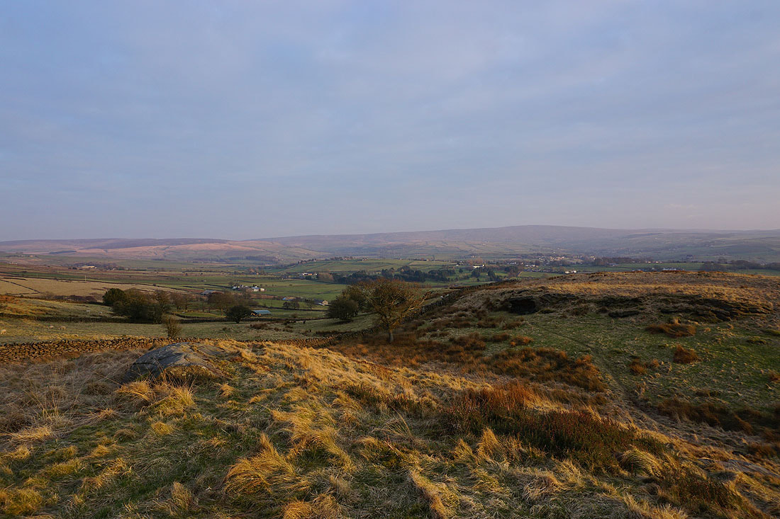
The low sun gives a great light on Kelbrook Moor behind me..
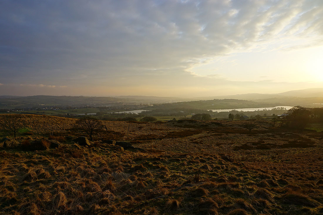
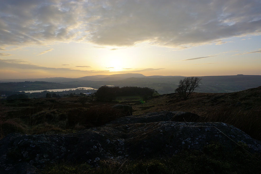
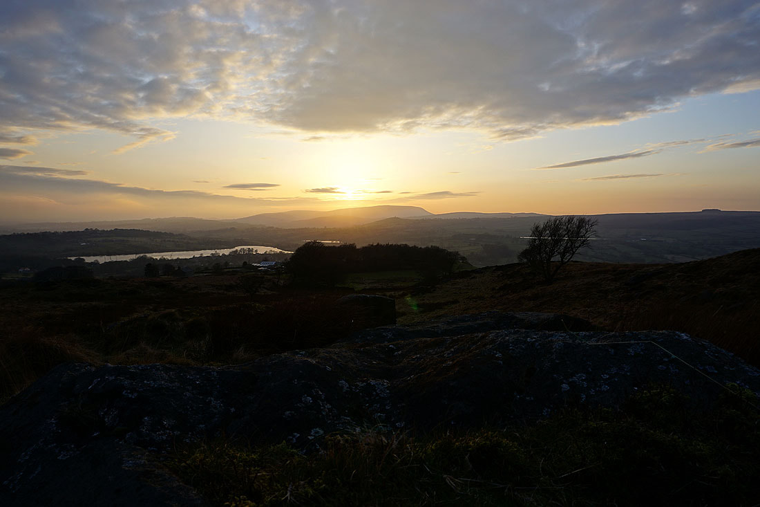
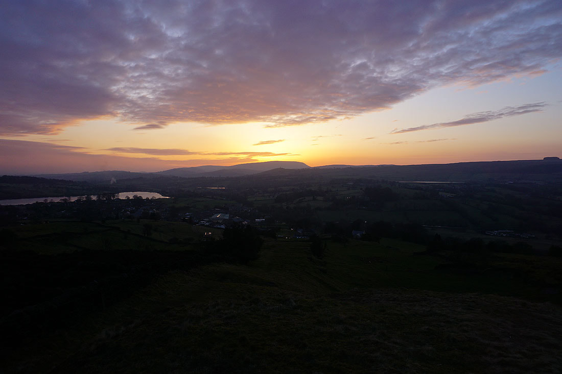
Foulridge Lower Reservoir, Slipper Hill Reservoir, Pendle Hill and Whitemoor Reservoir from Noyna Hill
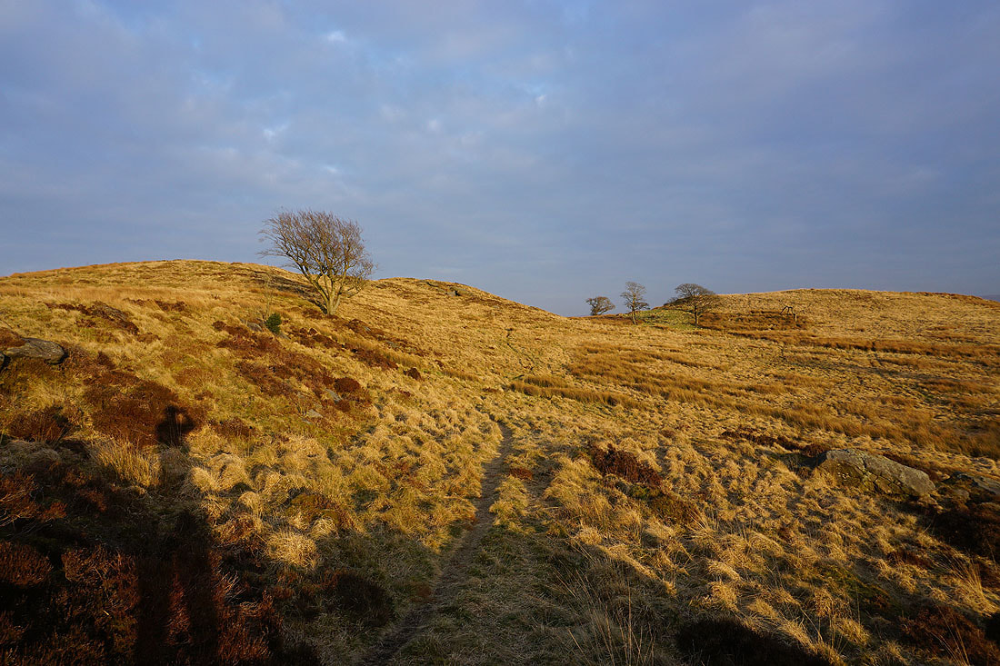
There's a great light on the moor as I head for the top of access land on Noyna Hill
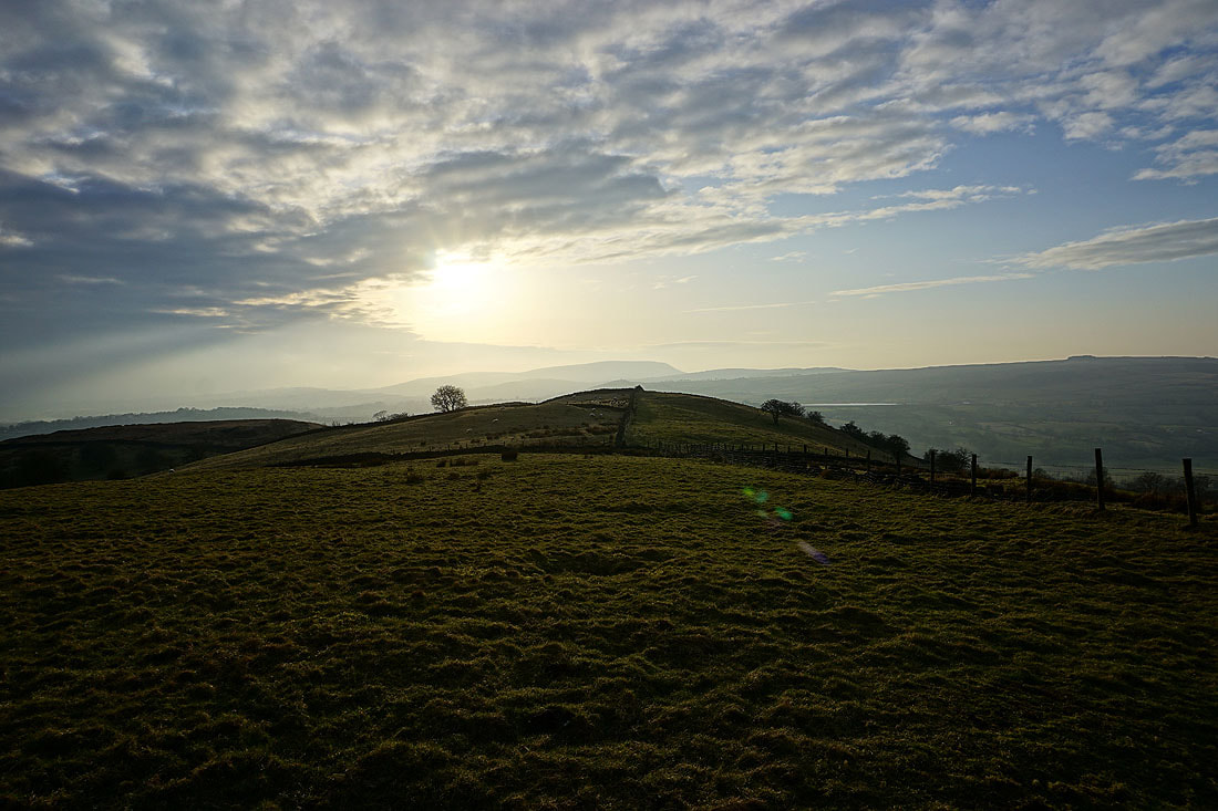
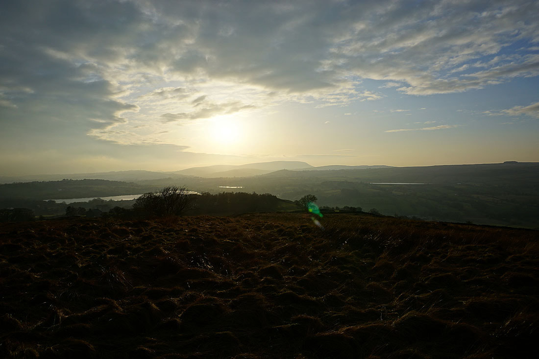
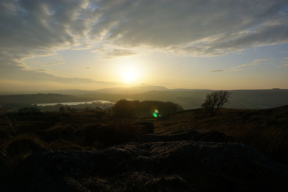
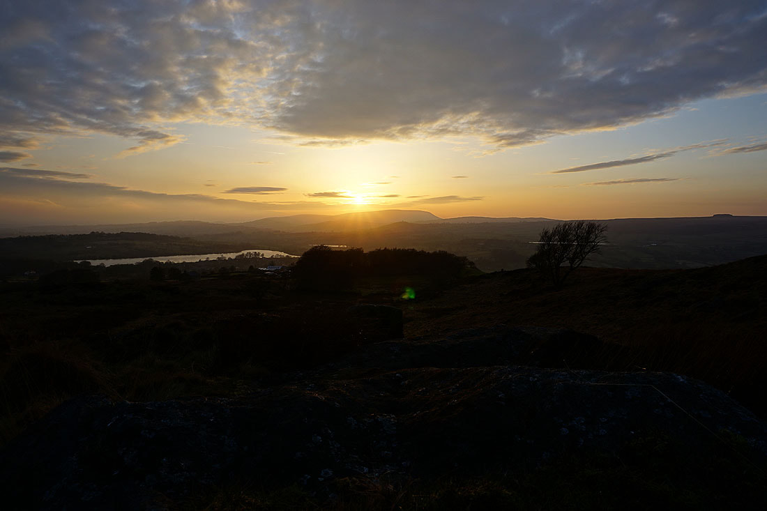
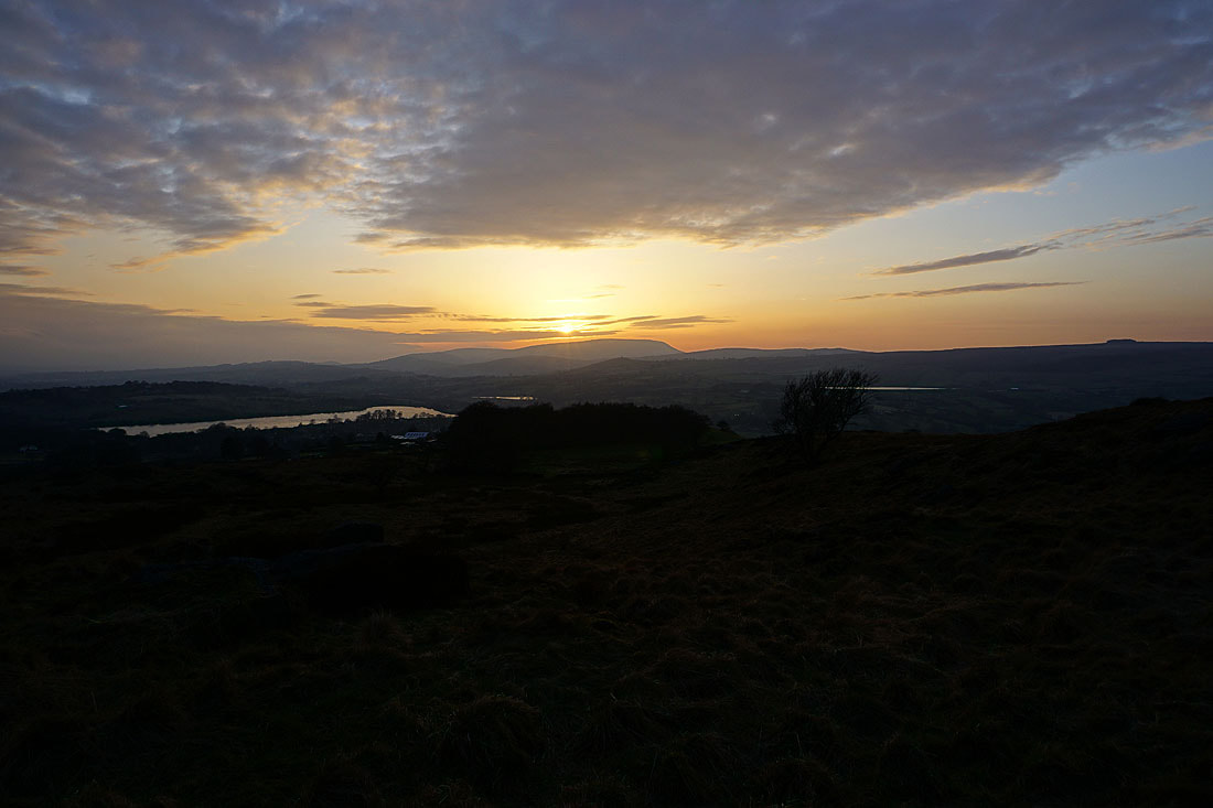
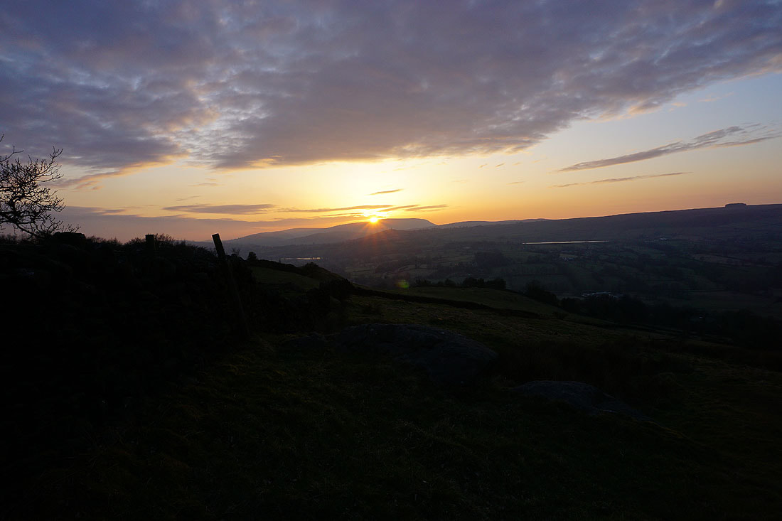
The sun starts to set behind Pendle Hill
Foulridge Upper Reservoir and Foulridge Lower Reservoir
Ickornshaw Moor and Boulsworth Hill
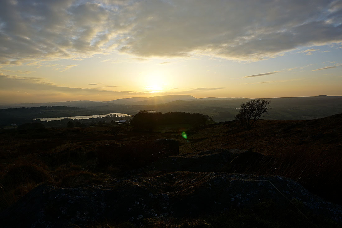
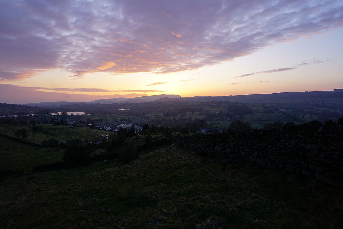
Watching the sun set behind Pendle Hill before heading back home to Foulridge........
