7th May 2017 - Totridge
Walk Details
Distance walked: 11.1 miles
Total ascent: 1767 ft
OS map used: OL41 - Forest of Bowland & Ribblesdale
Time taken: 5.5 hrs
Route description: Dunsop Bridge-Thorneyholme Hall-Burholme Farm-Burholme Bridge-New Laund Farm-New Laund Hill-Fair Oak-Lickhurst Farm-High Barn-Burnslack Farm-Burnslack Fell-Totridge-Hareden Farm-Dunsop Bridge
I decided to do a walk from Dunsop Bridge and came up with this route while I was putting together the report for my walk the previous weekend from Beacon Fell Country Park. I fancied doing another walk in the Forest of Bowland and an excuse was needed for a visit to Puddleducks Tea Room. My route had to include Totridge, a fell I lasted visited five years ago, but the tricky thing was trying to work out a good way of including it in a circular walk. I think this worked out quite well although I won't be using the route up via Burnslack Fell again. My OS map has tracks snaking up onto it from the edge of access land at Burnslack but those don't really exist on the ground and I ended up making my way up through pathless heather to reach the path along the summit ridge. There was beautiful warm spring sunshine for my day out and with all the recent dry weather there was hardly any bogginess encountered up on the fells.
From the car park in Dunsop Bridge I took the footpath across the River Hodder to Thorneyholme Hall then south across farmland to Burholme Farm and Burholme Bridge. I crossed Burholme Bridge then took the lane on the left uphill to reach the footpath past Reed Barn Cottage to New Laund Farm. I turned right in the farmyard for the footpath up and across New Laund Hill to Fair Oak and the lane beyond. I then turned right and walked along the lane to the T-junction, then left and to the end of the road at Lickhurst Farm. From here I took the byway across the moorland of Stanley to the road end at High Barn before turning right and taking the track to Burnslack. Access land was reached and I now had a not particularly pleasant ascent through pathless heather up Burnslack Fell to the path on the ridge that eventually took me to the summit of Totridge. After taking in the view I took the path northeast down to the edge of access land and across fields below Mellor Knoll to the bridleway down to Hareden Farm. Once I'd made my way out to the road to the Trough of Bowland I turned right and followed it back to Dunsop Bridge.
Route map
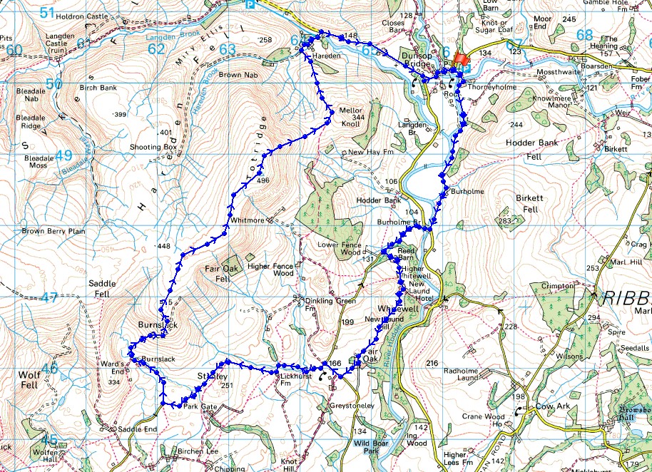
© Crown copyright. All rights reserved. License number PU 100034184.
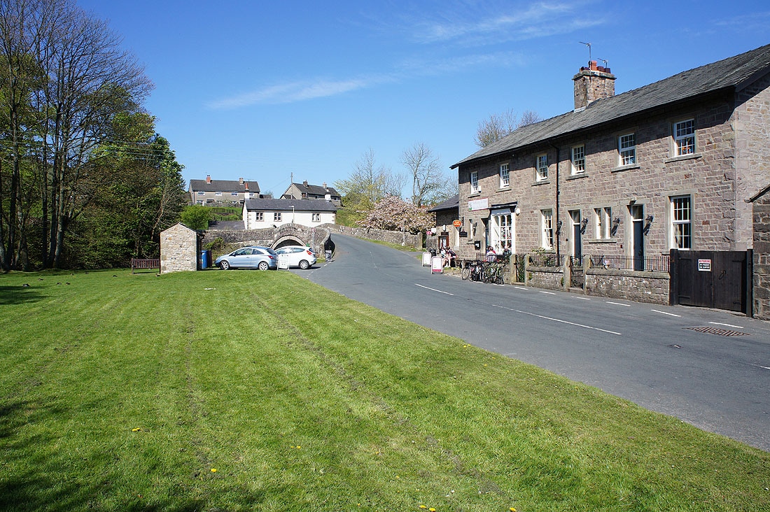
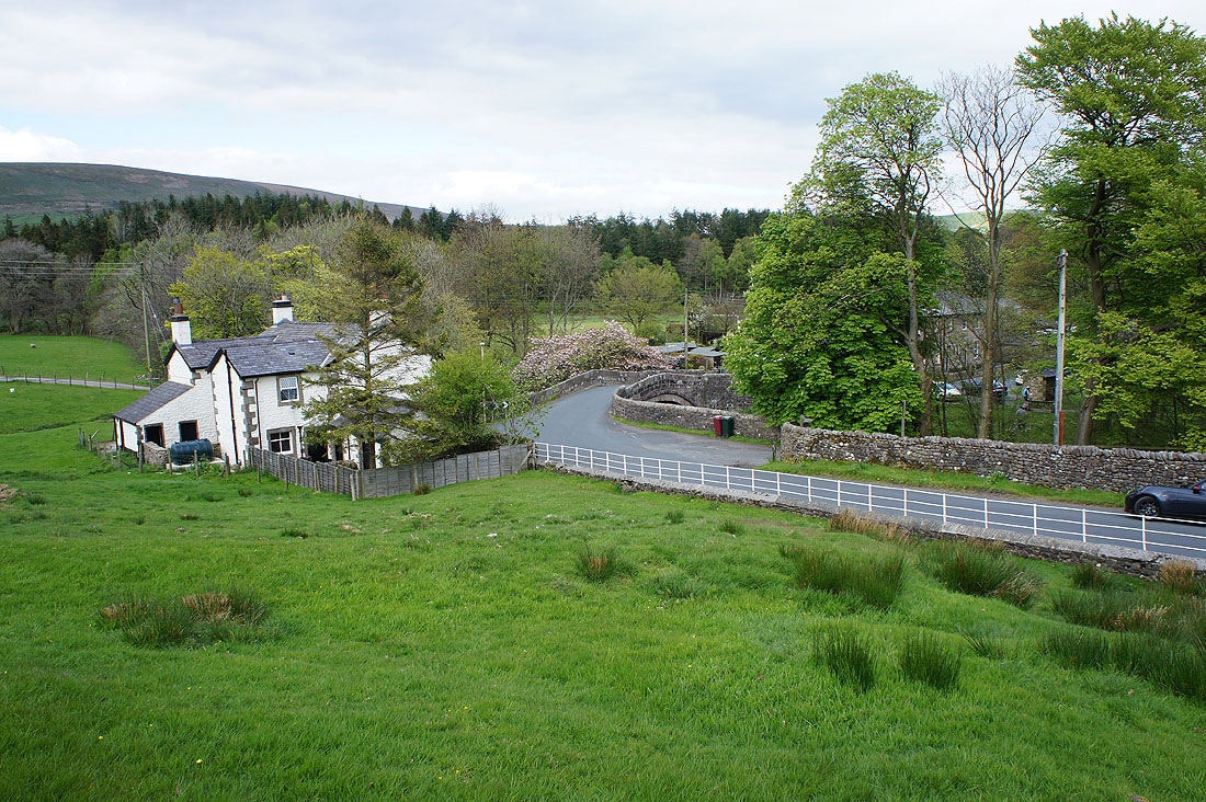
It's a beautiful morning in Dunsop Bridge and after having breakfast at Puddleducks Tea Room I'm ready to get going
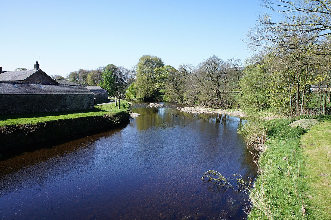
Crossing the River Hodder at Thorneyholme Hall..
Looking back to Thorneyholme Hall with Beatrix Fell behind
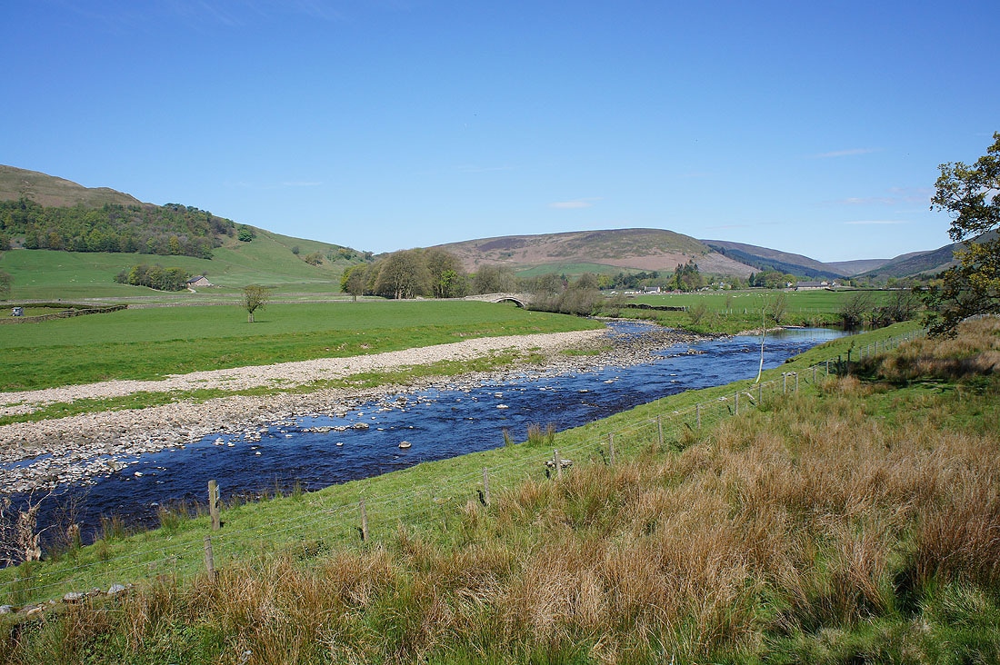
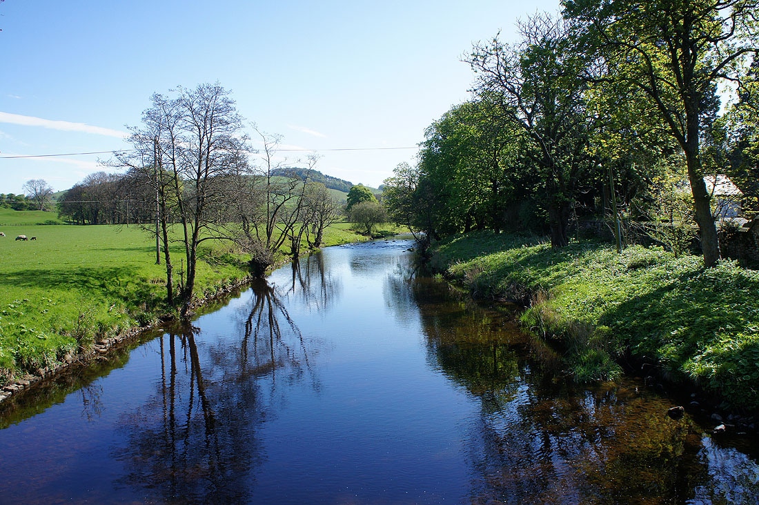
Langden Brook joins the River Hodder
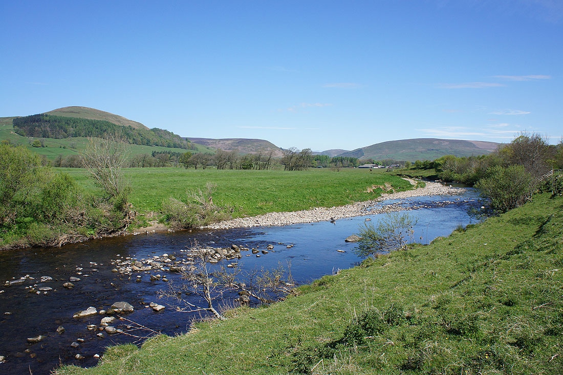
The River Hodder as I follow the path to Burholme Bridge..
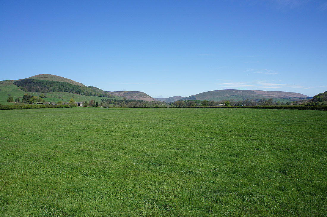
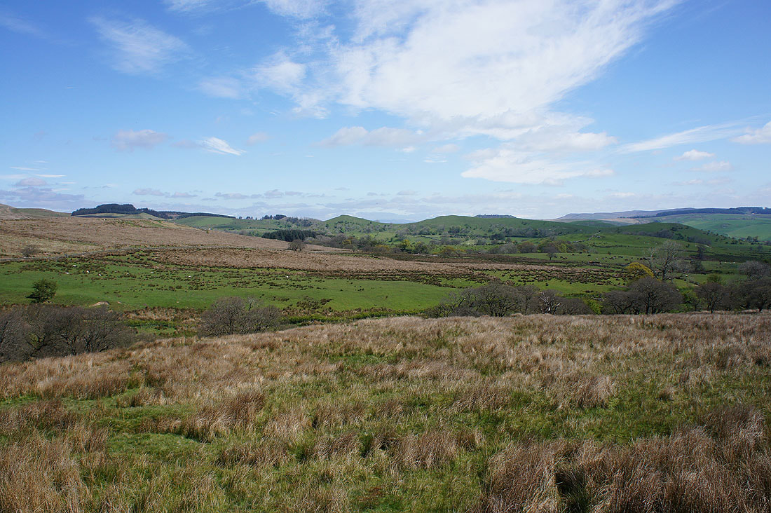
Mellor Knoll, Staple Oak Fell and Beatrix Fell from the lane to New Laund Farm..
..and Totridge and Mellor Knoll
Looking back on the Hodder Valley as I walk up the path from New Laund Farm onto New Laund Hill
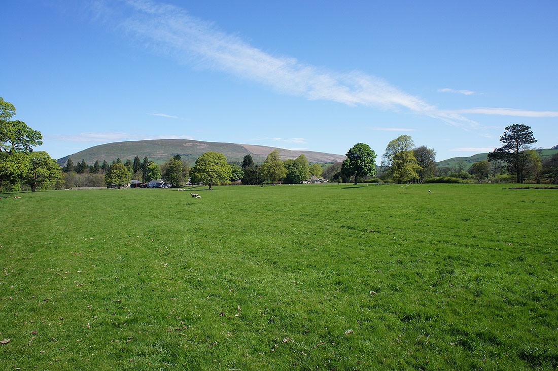
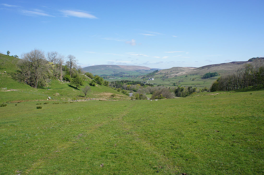
As I cross New Laund Hill one of the best views (in my opinion) in the Forest of Bowland appears. The River Hodder flows through the Whitewell gorge backed by Longridge Fell.
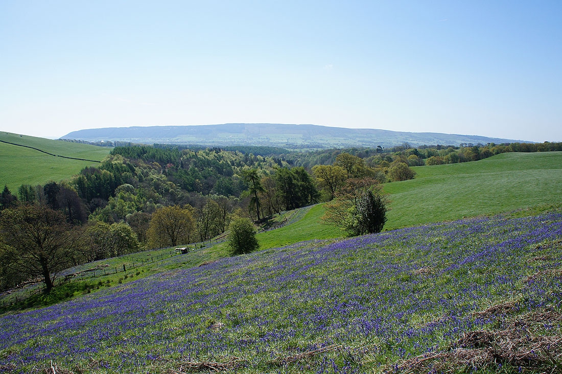
A bit further on and at this time of year bluebells on the hillside add to the scene
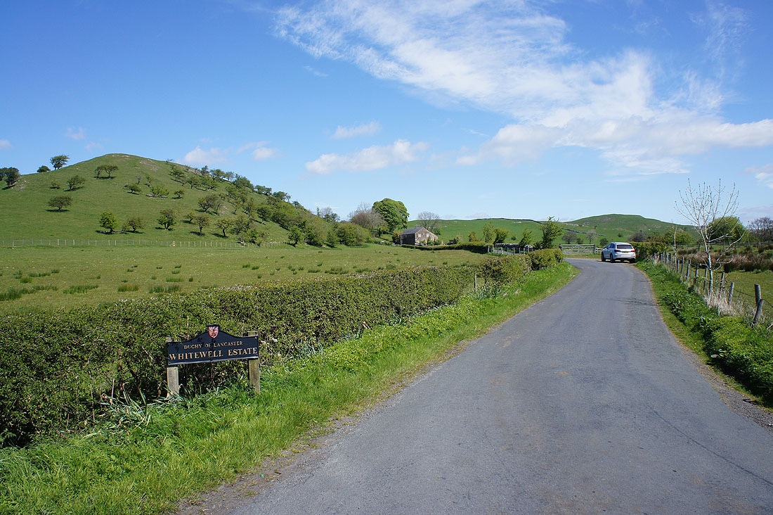
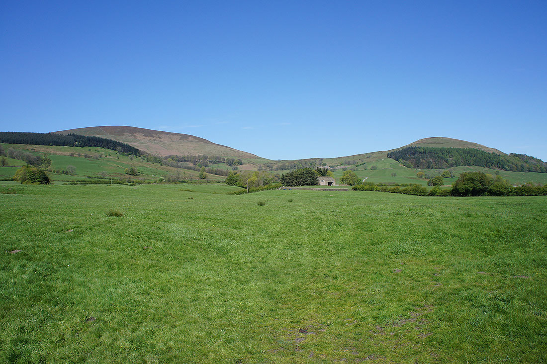
The lane to Burholme Bridge with the hill of Long Knots on the left. A lot of the land around here, including Dunsop Bridge, is part of the Duchy of Lancaster's Whitewell Estate.
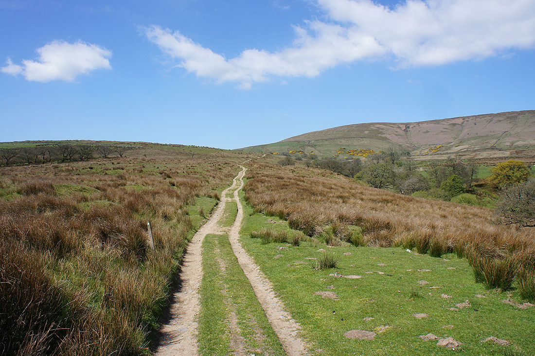
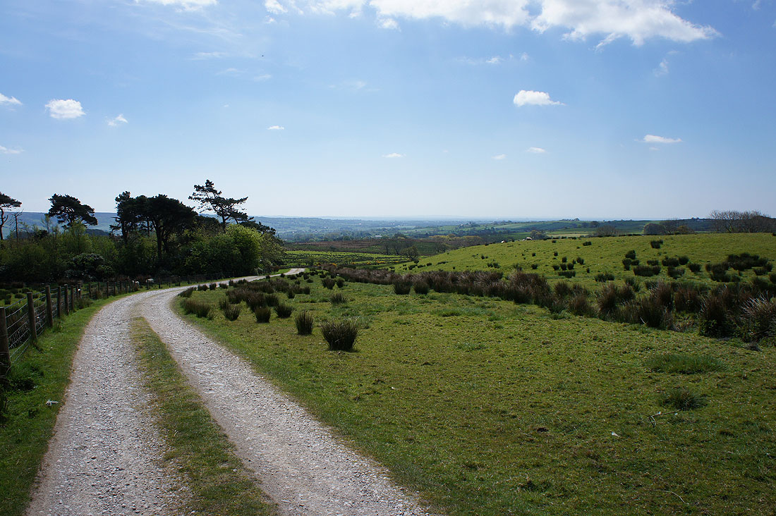
On the byway from Lickhurst Farm to High Barn
Looking back with Pendle Hill in the distance
The small limestone hills of Long Knots
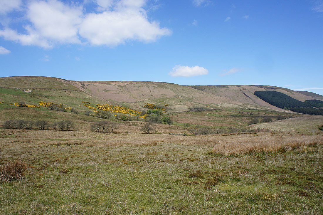
To my right rise the slopes of Burnslack Fell and Fair Oak Fell
Looking back from the driveway to Burnslack Farm with a distant view out towards Longridge and Preston
Pendle Hill and the Hodder Valley from Burnslack Fell
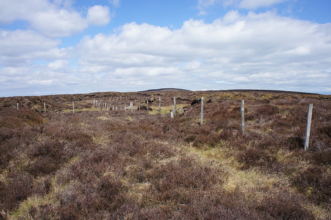
I finally reach the top of Burnslack Fell where I'll join the path from Fair Snape Fell to Totridge. The tracks on the map didn't exist and there was no path up through the heather. I won't be coming this way again.
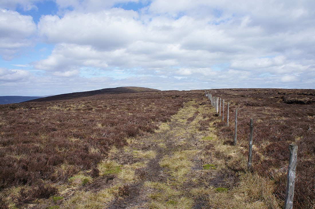
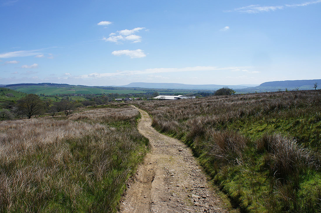
Dry firm ground underfoot as I head for Totridge
Grit Fell and Ward's Stone to the north on the other side of the Forest of Bowland
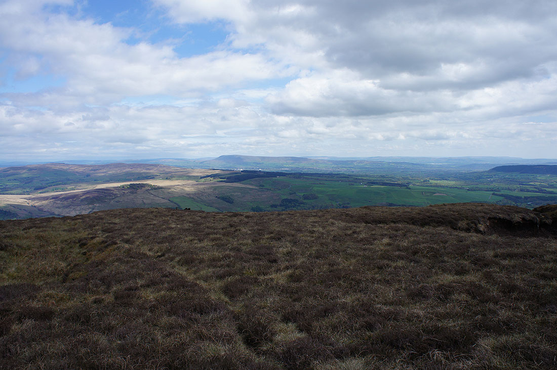
Parlick and Fair Snape Fell from Totridge
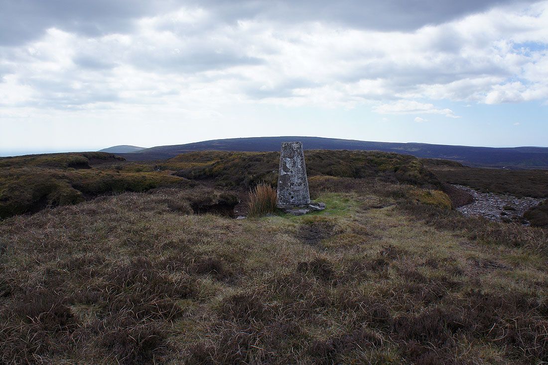
At the trig point on the summit of Totridge
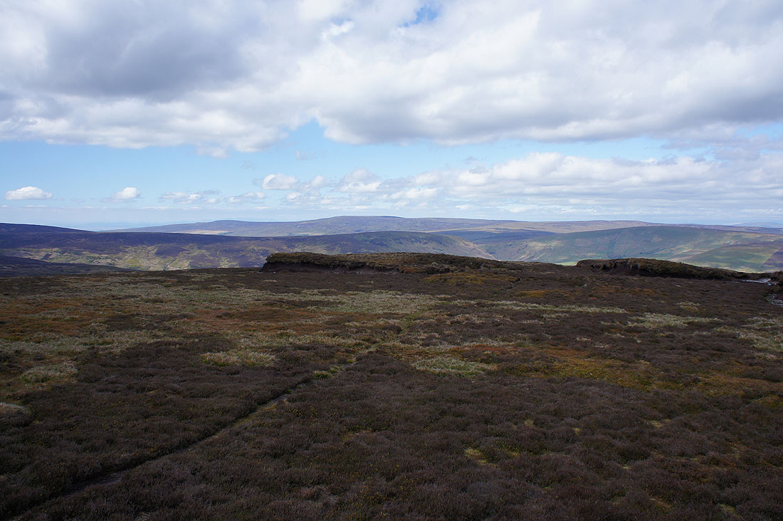
Looking across the Forest of Bowland to Grit Fell, Ward's Stone and Wolfhole Crag
Pendle Hill in the distance
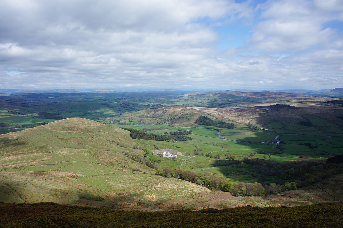
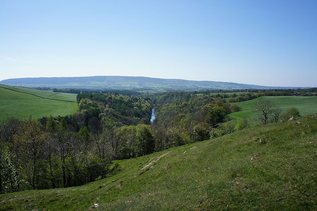
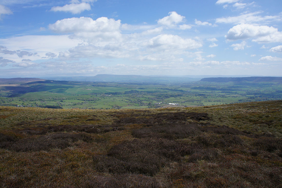
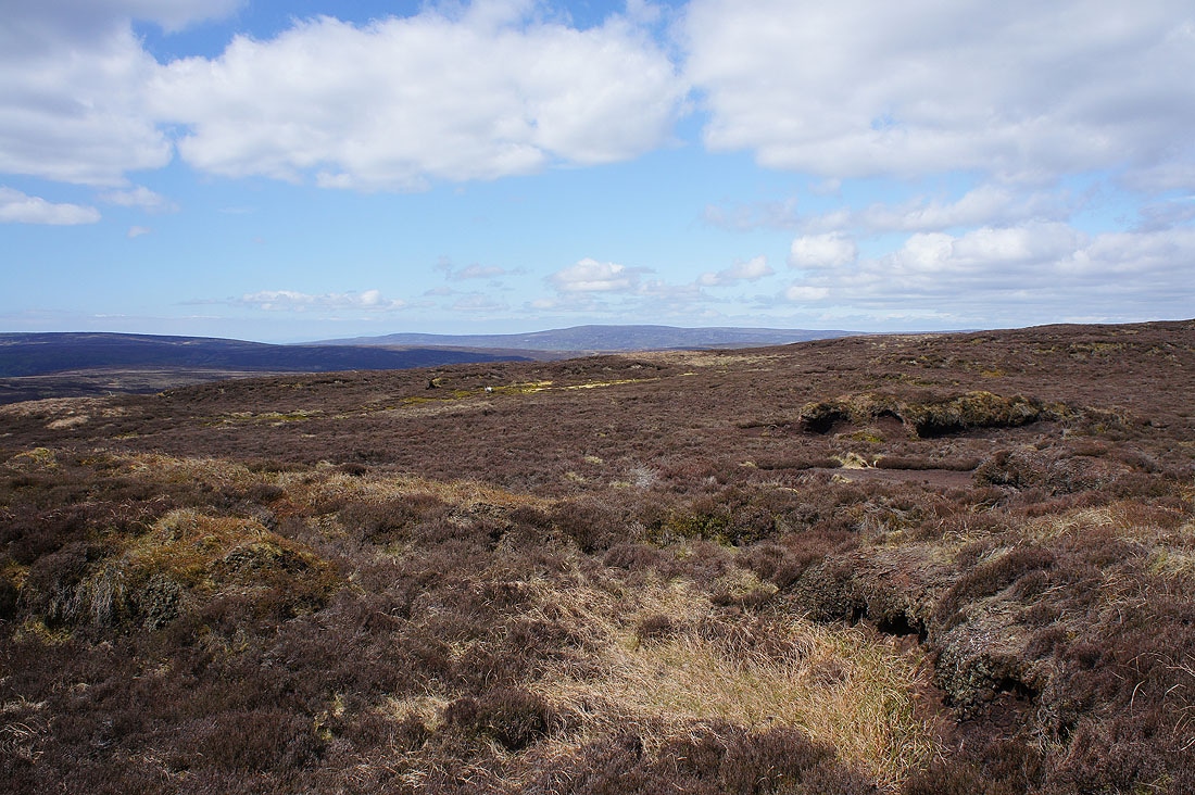
A bird's eye view of the Hodder Valley
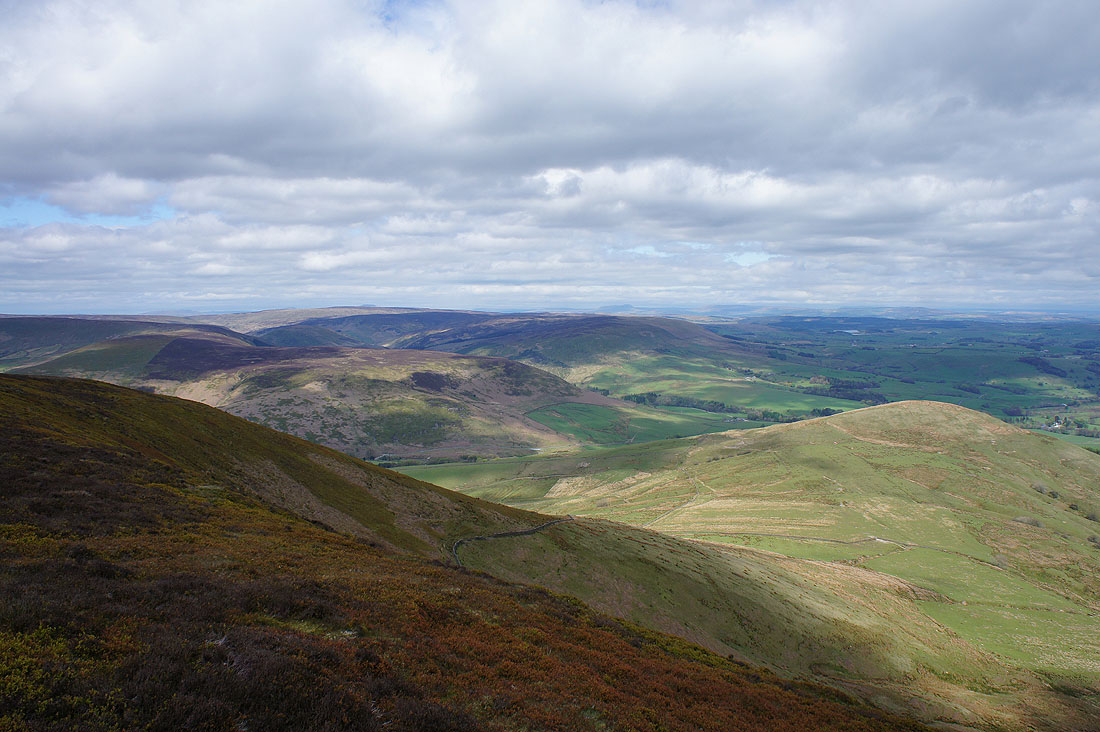
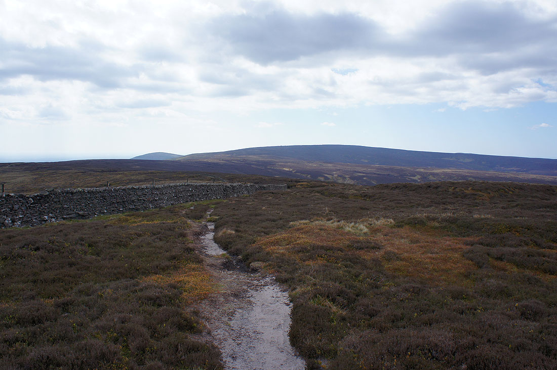
White Hill, Staple Oak Fell, Beatrix Fell and Mellor Knoll as I start heading down from Totridge. I can also make out Whernside, Ingleborough and Penyghent in the Yorkshire Dales.
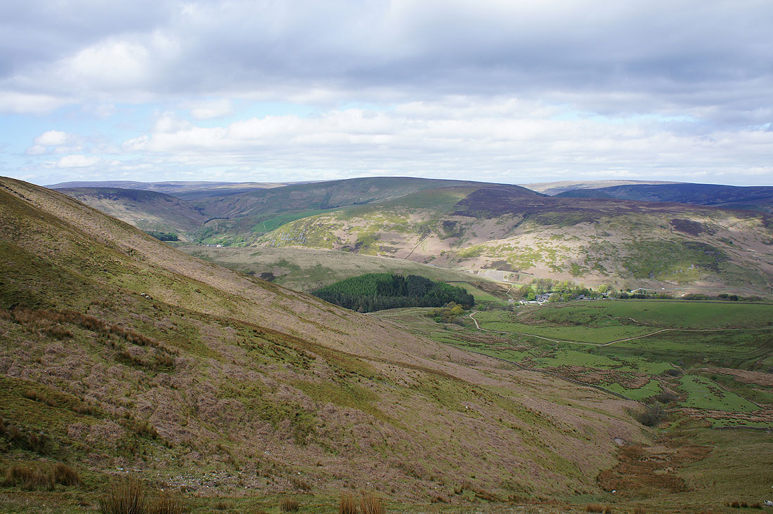
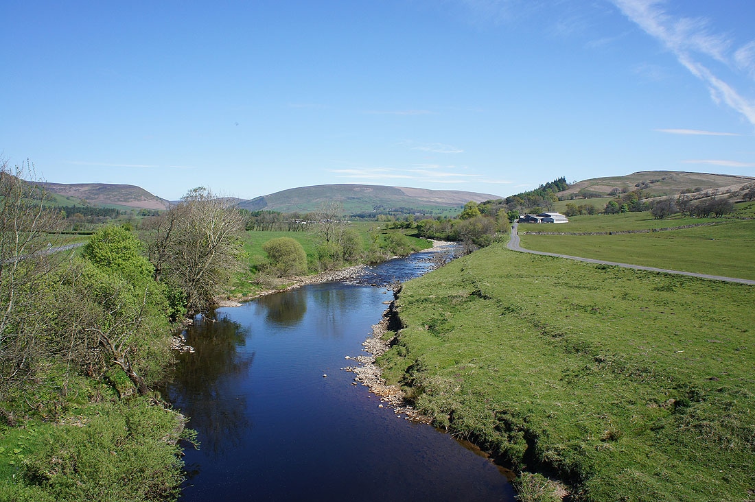
The fells that surround the road to the Trough of Bowland
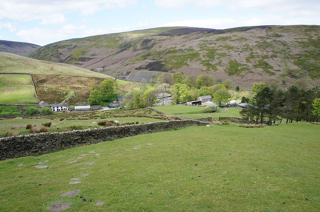
Descending to Hareden Farm
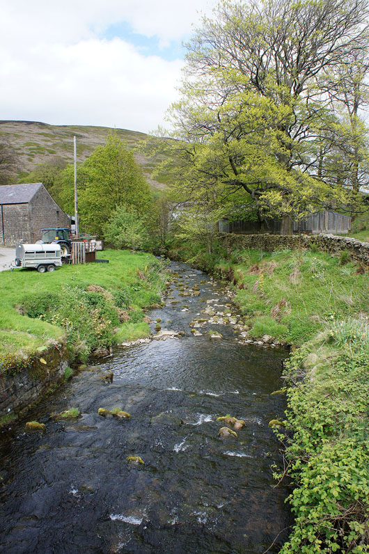
Crossing Hareden Brook
Back in Dunsop Bridge