7th May 2022 - Holder Stones and Blackstone Edge
Walk Details
Distance walked: 14.2 miles
Total ascent: 1276 ft
OS map used: OL21 - South Pennines
Time taken: 6.5 hrs
Route description: Blackstone Edge Reservoir-Pennine Way-Stony Edge-Pennine Way-Warland Drain-Holder Stones-Warland Drain-White Holme Drain-White Holme Reservoir-Turvin Road-Cold Laughton Drain-Soyland Moor-Manshead End-Knave Holes Hill-New Gate End Bridge-Old Packhorse Road-Pennine Way-Blackstone Edge-Pennine Way-Blackstone Edge Moor-Blackstone Edge Reservoir
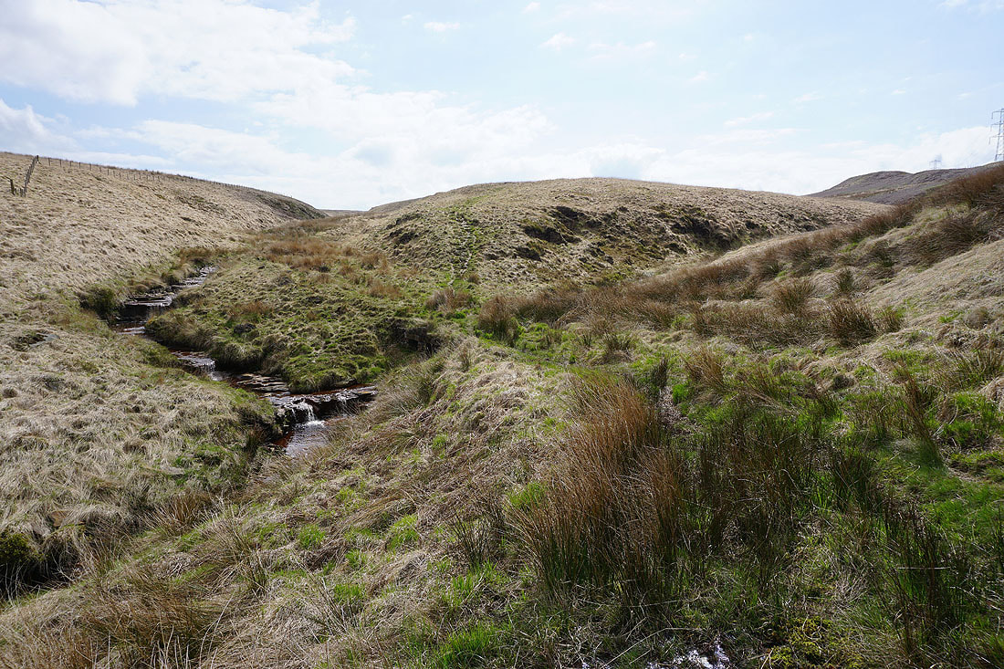
There's some fine spring weather forecast for this weekend, and for today's walk I decided to head for a part of the South Pennines that I've not been to for a few years. The route that I had planned would take in the Holder Stones trig point, the one on Manshead End and the one on Blackstone Edge; using the Pennine Way, and paths by the drains that cross these moors to collect the rainwater for the many reservoirs. I was hoping that I'd finally make it to the Holder Stones trig point, which I'd already tried to do on a few occasions but not managed to find a way across Warland Drain. Fortunately dry weather during recent weeks meant that water levels in the drains were low, and I found a place in Warland Drain north of the trig point where there was hardly any water at all and I could cross it easily. Judging by the path on its opposite side up to the trig point I wasn't the first person to go that way. It turned into a pretty nice spring day for being on the moors with a mixture of fair weather clouds, sunny spells, and a gentle breeze.
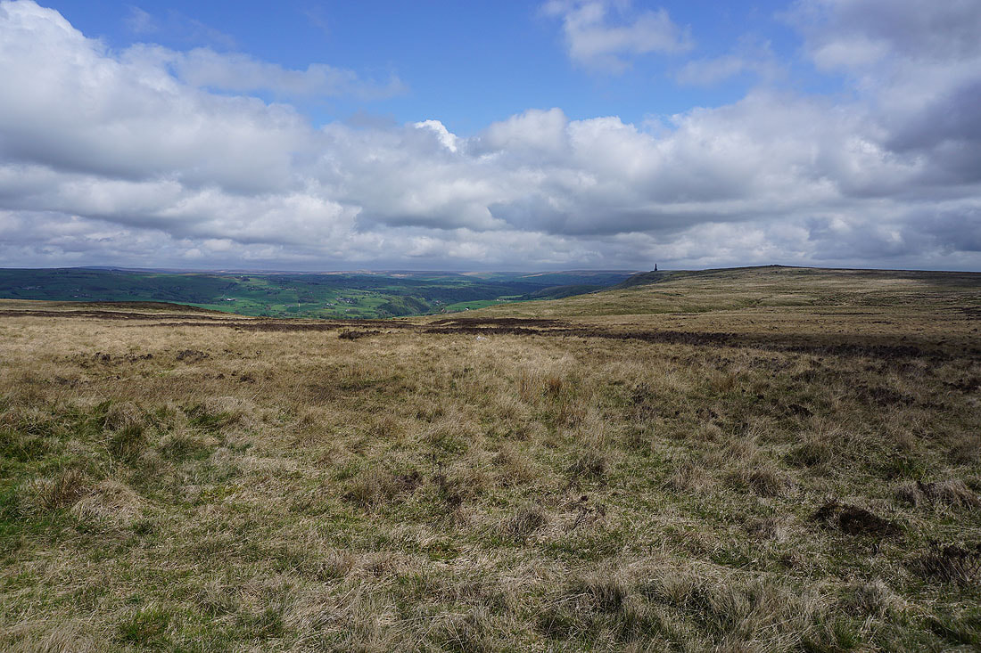
From the car park next to the A58 below The White House pub I set off by taking the trail of the Pennine Way across the dam of Blackstone Edge Reservoir, and then north past Light Hazzles Reservoir and to Warland Reservoir. I left the trail here and took the footpath by the northern shore of Light Hazzles Reservoir and then north along Warland Reservoir's eastern shore to Stony Edge and the northern end of Warland Reservoir where I picked up the Pennine Way again. I kept on the Pennine Way by Warland Drain as it made its way east across the moor, then when the trail left it to head for Stoodley Pike I stayed on the path by the drain east across Withins Moor. Soon after this path junction I was able to cross Warland Drain and make my way up to the Holder Stones trig point, where I stopped for lunch. After this break I retraced my steps back down to Warland Drain and continued to follow the path by it and White Holme Drain that heads east then south and then west across Withens Moor and Turley Holes and Higher House Moor to White Holme Reservoir. From the southern end of the reservoir I made my way along the track to Turvin Road, crossed it, and took the path opposite by Cold Laughton Drain across Soyland Moor, and then a path east up to the trig point on Manshead End. Once I'd taken in the view I retraced my steps back to Soyland Moor and took a path marked by wooden posts painted yellow on top, down Knave Holes Hill to New Gate End Bridge on the A58. I crossed the road, and walked up it a short distance to a gate, where I picked up the Old Packhorse Road bridleway up Rag Sapling Clough to reach Blackstone Edge Moor. When the bridleway reached its top I left it and took the Pennine Way up to the trig point on Blackstone Edge. After taking in the view I returned north to the bridleway and then took a path north across Blackstone Edge Moor to the A58 and the car park.
Total ascent: 1276 ft
OS map used: OL21 - South Pennines
Time taken: 6.5 hrs
Route description: Blackstone Edge Reservoir-Pennine Way-Stony Edge-Pennine Way-Warland Drain-Holder Stones-Warland Drain-White Holme Drain-White Holme Reservoir-Turvin Road-Cold Laughton Drain-Soyland Moor-Manshead End-Knave Holes Hill-New Gate End Bridge-Old Packhorse Road-Pennine Way-Blackstone Edge-Pennine Way-Blackstone Edge Moor-Blackstone Edge Reservoir
There's some fine spring weather forecast for this weekend, and for today's walk I decided to head for a part of the South Pennines that I've not been to for a few years. The route that I had planned would take in the Holder Stones trig point, the one on Manshead End and the one on Blackstone Edge; using the Pennine Way, and paths by the drains that cross these moors to collect the rainwater for the many reservoirs. I was hoping that I'd finally make it to the Holder Stones trig point, which I'd already tried to do on a few occasions but not managed to find a way across Warland Drain. Fortunately dry weather during recent weeks meant that water levels in the drains were low, and I found a place in Warland Drain north of the trig point where there was hardly any water at all and I could cross it easily. Judging by the path on its opposite side up to the trig point I wasn't the first person to go that way. It turned into a pretty nice spring day for being on the moors with a mixture of fair weather clouds, sunny spells, and a gentle breeze.
From the car park next to the A58 below The White House pub I set off by taking the trail of the Pennine Way across the dam of Blackstone Edge Reservoir, and then north past Light Hazzles Reservoir and to Warland Reservoir. I left the trail here and took the footpath by the northern shore of Light Hazzles Reservoir and then north along Warland Reservoir's eastern shore to Stony Edge and the northern end of Warland Reservoir where I picked up the Pennine Way again. I kept on the Pennine Way by Warland Drain as it made its way east across the moor, then when the trail left it to head for Stoodley Pike I stayed on the path by the drain east across Withins Moor. Soon after this path junction I was able to cross Warland Drain and make my way up to the Holder Stones trig point, where I stopped for lunch. After this break I retraced my steps back down to Warland Drain and continued to follow the path by it and White Holme Drain that heads east then south and then west across Withens Moor and Turley Holes and Higher House Moor to White Holme Reservoir. From the southern end of the reservoir I made my way along the track to Turvin Road, crossed it, and took the path opposite by Cold Laughton Drain across Soyland Moor, and then a path east up to the trig point on Manshead End. Once I'd taken in the view I retraced my steps back to Soyland Moor and took a path marked by wooden posts painted yellow on top, down Knave Holes Hill to New Gate End Bridge on the A58. I crossed the road, and walked up it a short distance to a gate, where I picked up the Old Packhorse Road bridleway up Rag Sapling Clough to reach Blackstone Edge Moor. When the bridleway reached its top I left it and took the Pennine Way up to the trig point on Blackstone Edge. After taking in the view I returned north to the bridleway and then took a path north across Blackstone Edge Moor to the A58 and the car park.
Route map

© Crown copyright. All rights reserved. License number PU 100034184.
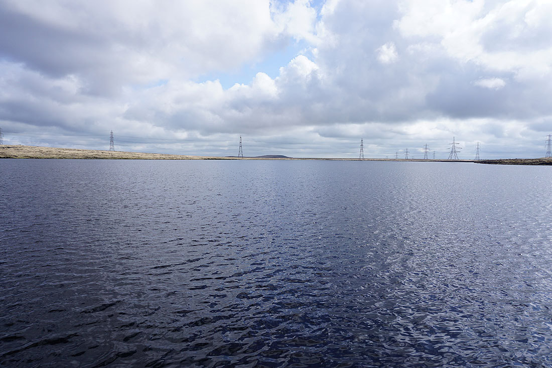
Blackstone Edge Reservoir. It's almost like an infinity pool.
Heading north on the Pennine Way along the dam of Blackstone Edge Reservoir
To my left, Littleborough and Higher Chelburn Reservoir
Looking north across Chelburn Moor and I can make out the faint but distinctive outline of Pendle Hill in the distance
The rocky outcrop at the disused quarry on Light Hazzles Edge is just ahead, and that's where I'll find the Stanza Stone of "Rain"
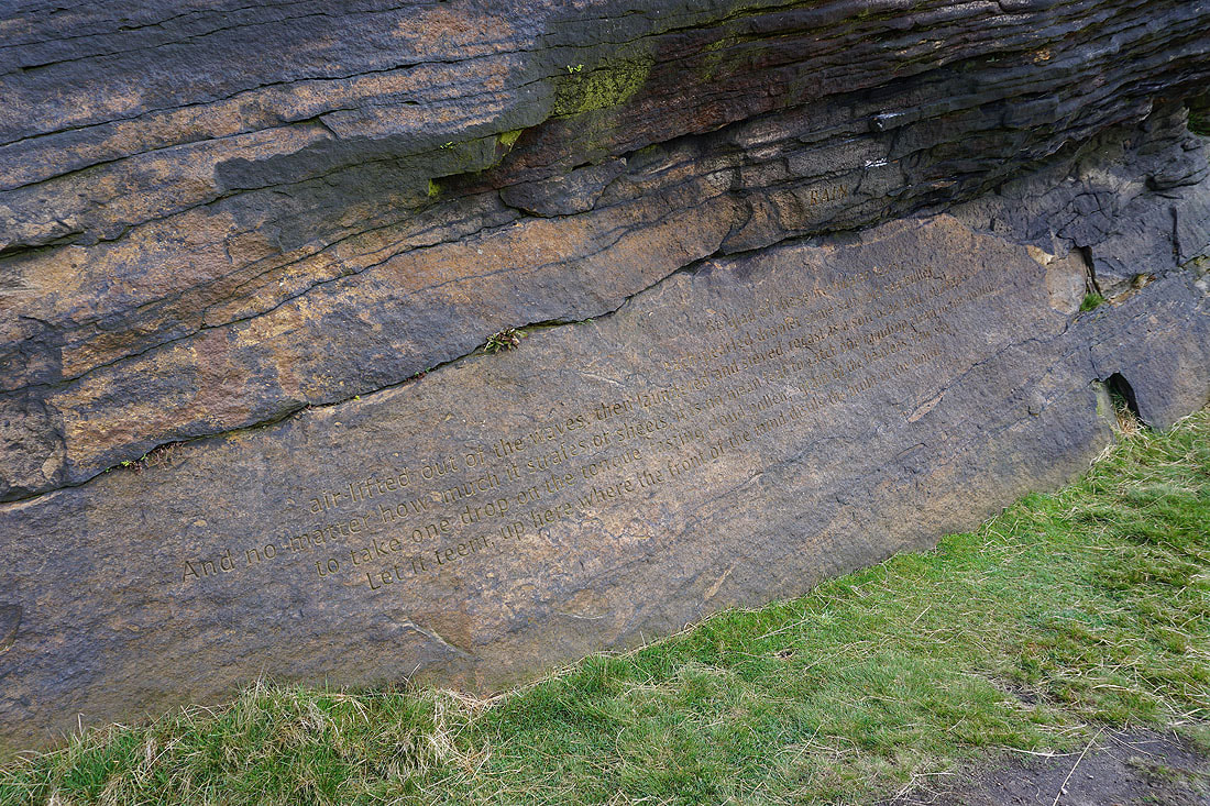
"Rain" by Simon Armitage. One of the Stanza Stones.

Still on the Pennine Way as I pass Light Hazzles Reservoir
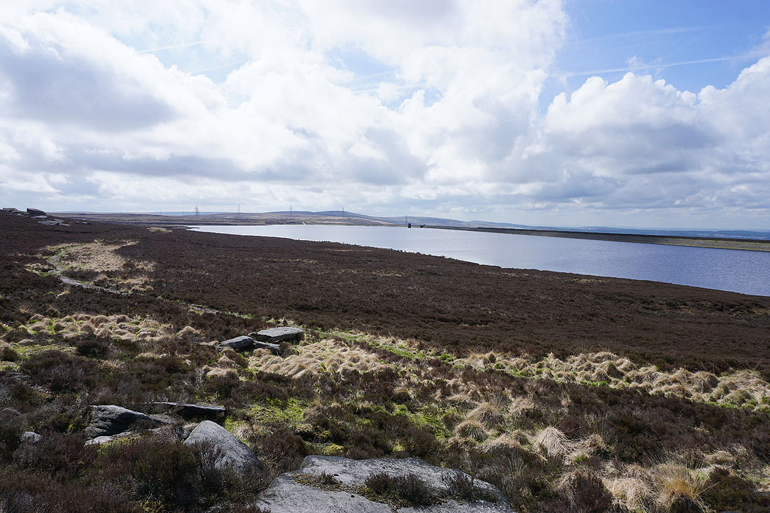
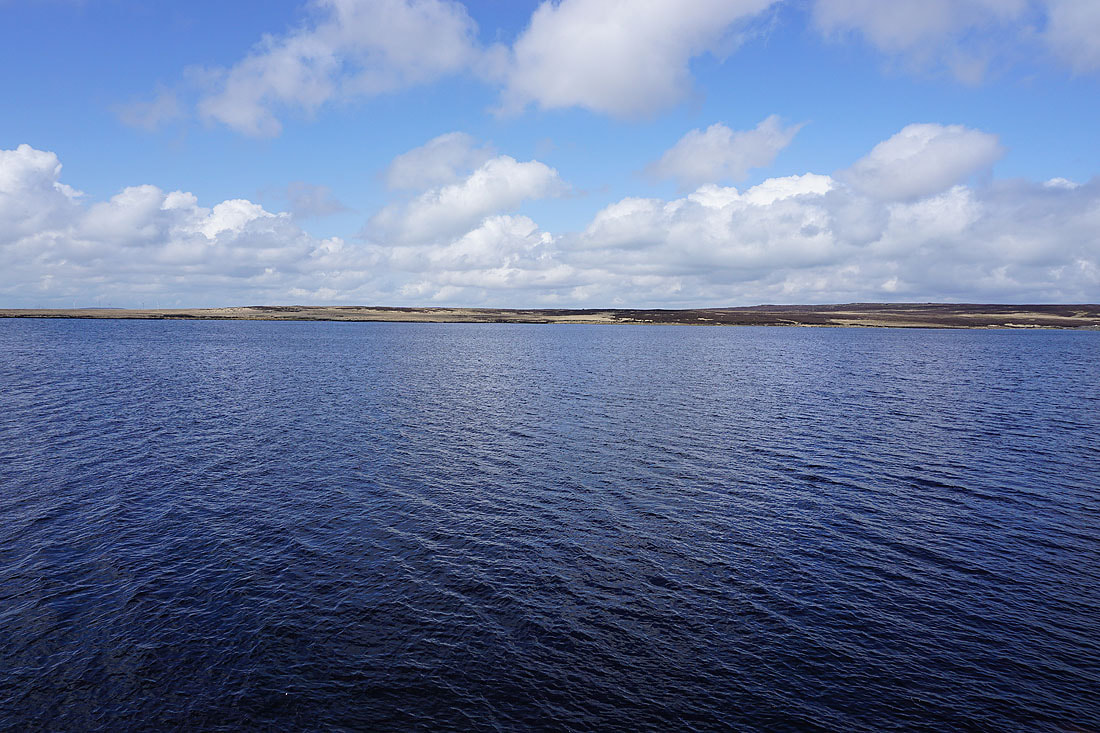
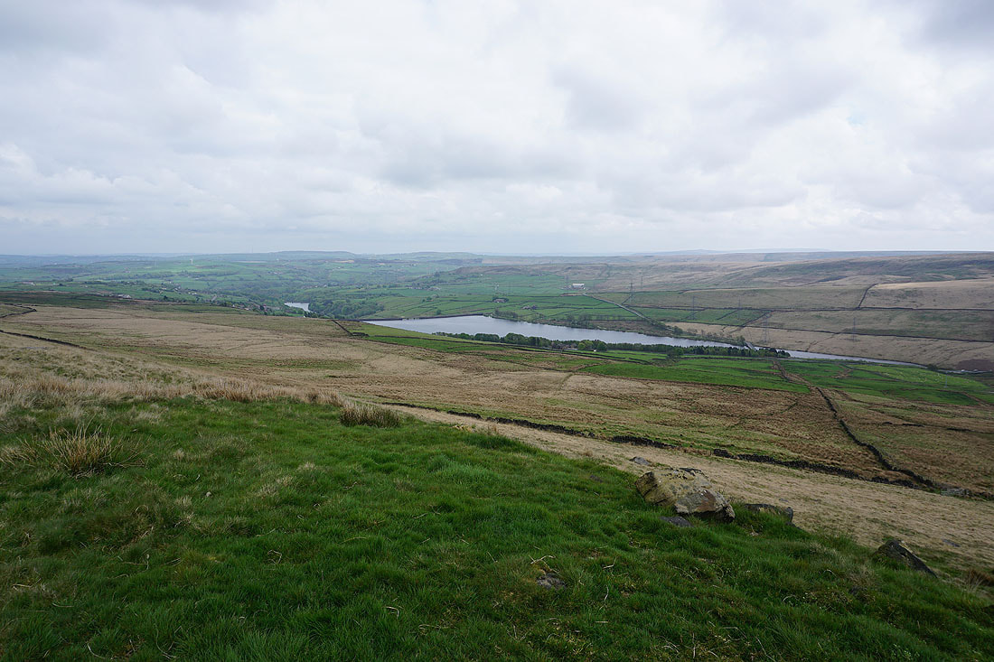
Looking across Light Hazzles Reservoir to the moorland of White Holme Moss. The Holder Stones trig point is up there somewhere.
Shore Moor and Freeholds Top on the other side of the Summit gorge
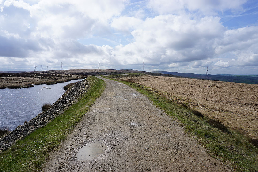
Looking back along the Pennine Way to Blackstone Edge in the distance
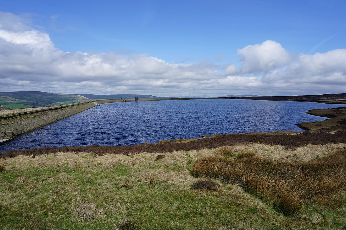
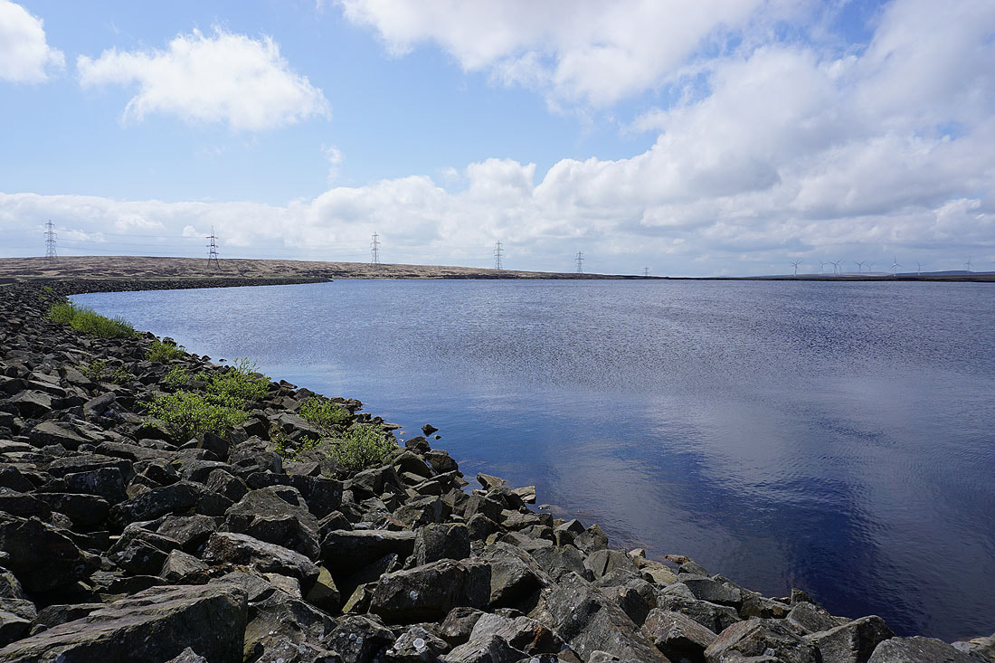
At the southern end of Warland Reservoir. I've left the Pennine Way behind here for a path by its eastern shore.
Looking west across Warland Reservoir to Shore Moor and Freeholds Top
The path takes me past Stony Edge to the northern end of the reservoir
Warland Reservoir with Blackstone Edge in the distance from Stony Edge
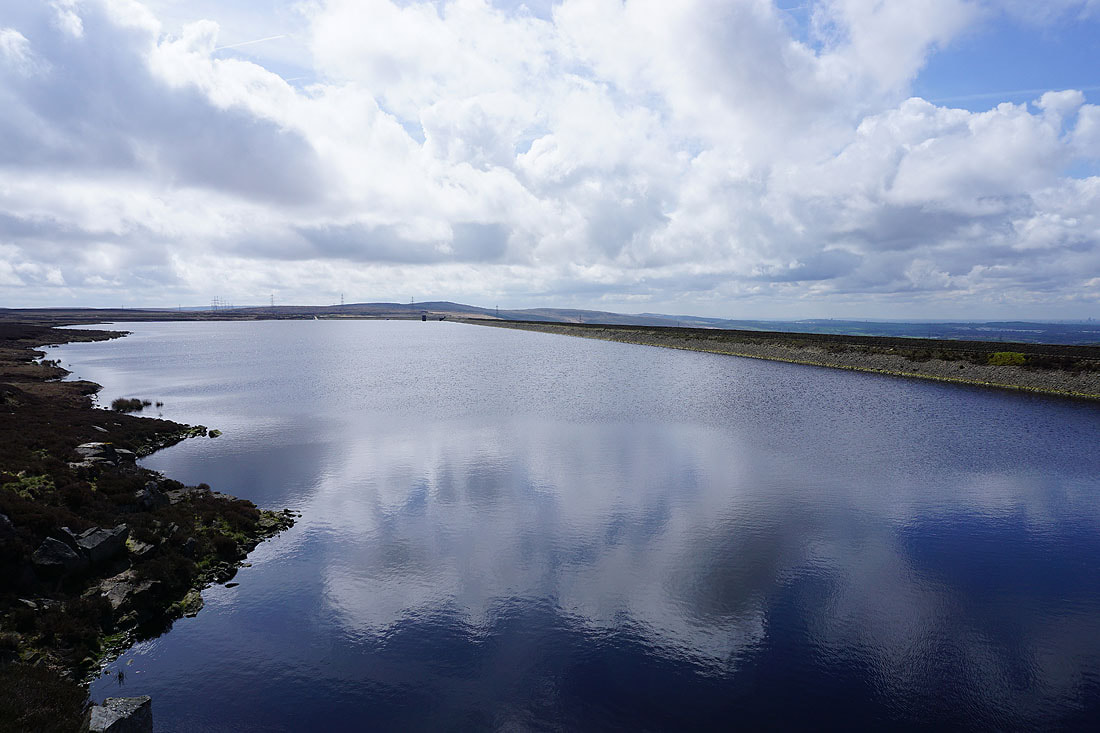
Great reflections in Warland Reservoir from its northern end
Back onto the Pennine Way
To my left, the moorland of Langfield Common, Calderdale and Stoodley Pike
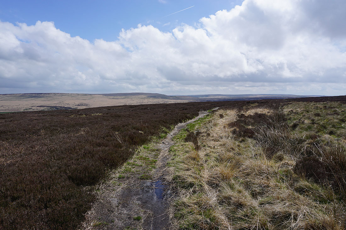
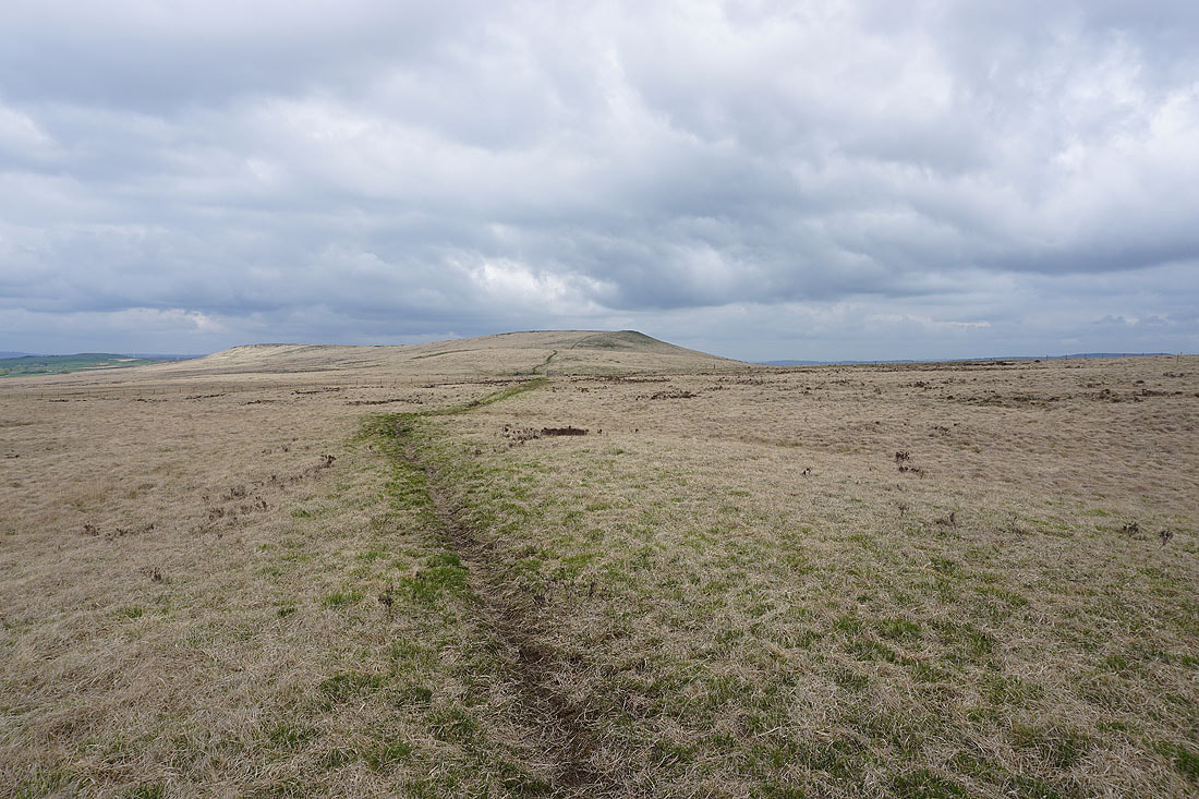
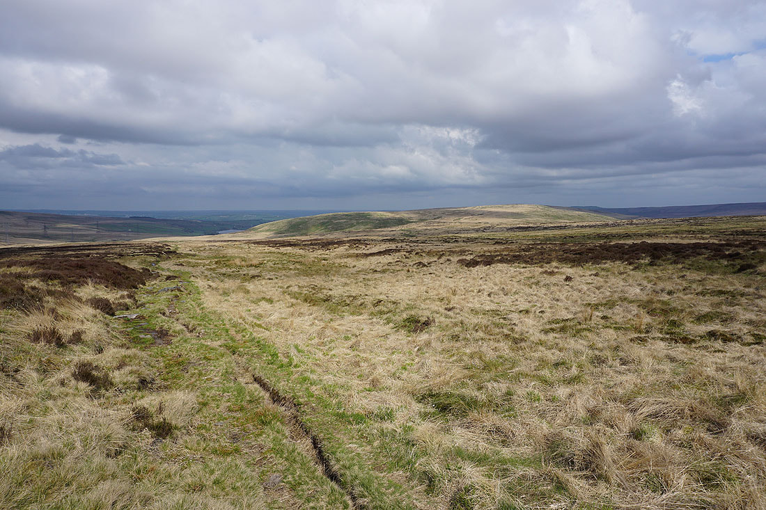
Ahead of me on the skyline are the Holder Stones. It won't be long before I can climb up to them.
Looking across Calderdale to Bride Stones Moor and Staups Moor
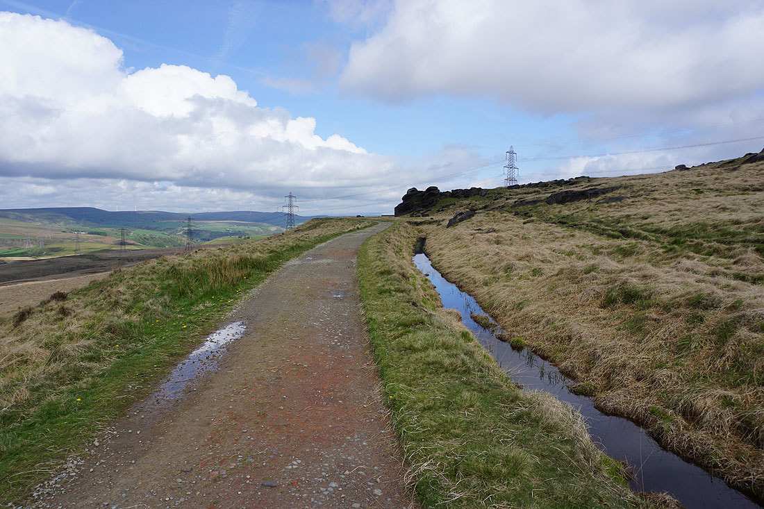
On the Pennine Way by Warland Drain
Looking across Langfield Common to Todmorden Moor and Bride Stones Moor
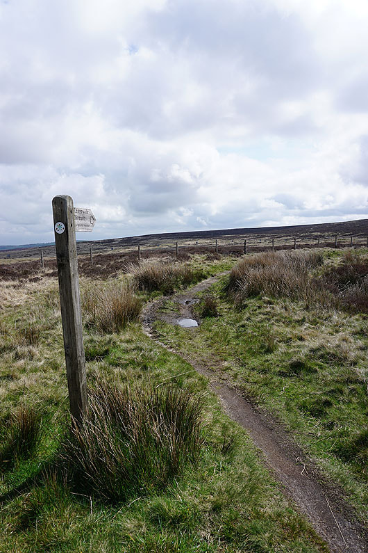
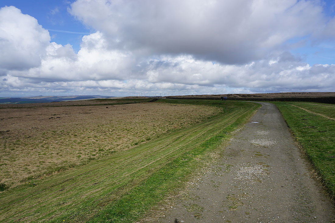
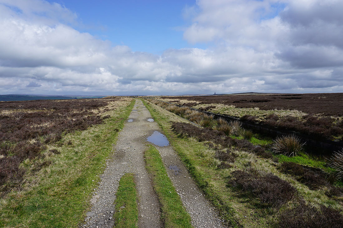
This is where I leave the Pennine Way and keep following the catchwater drain across the moor. The fingerpost points the way to White Holme Reservoir.
Coldwell Hill and Stoodley Pike
Stoodley Pike and Withens Moor
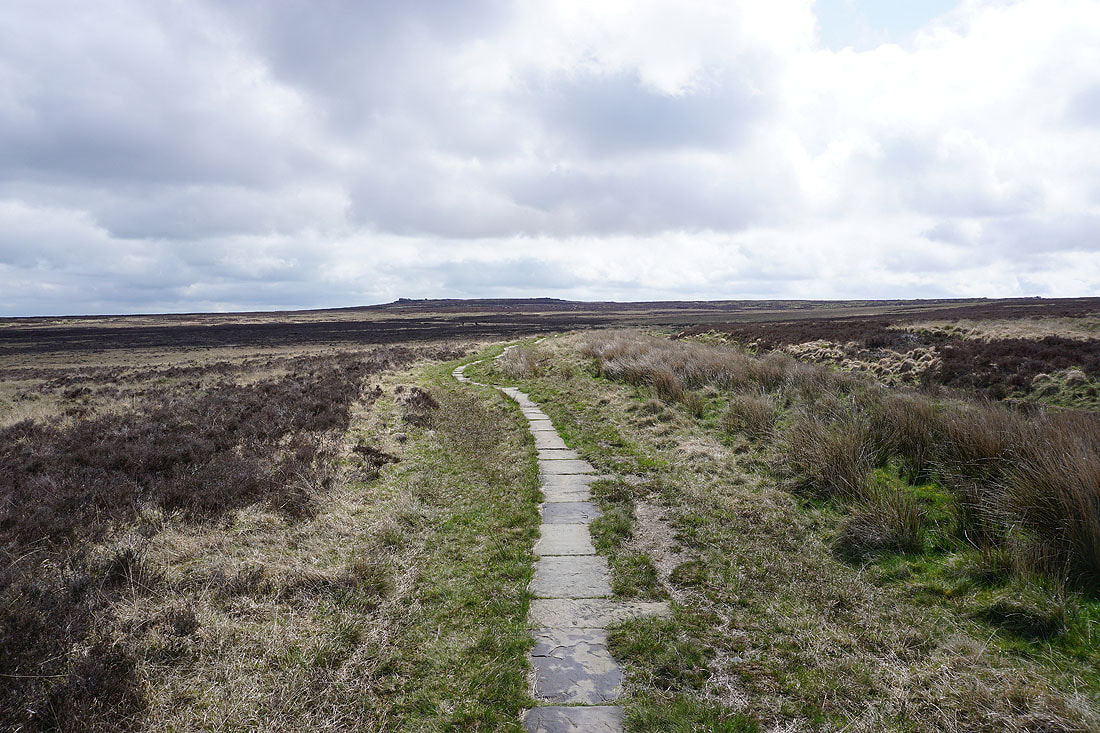
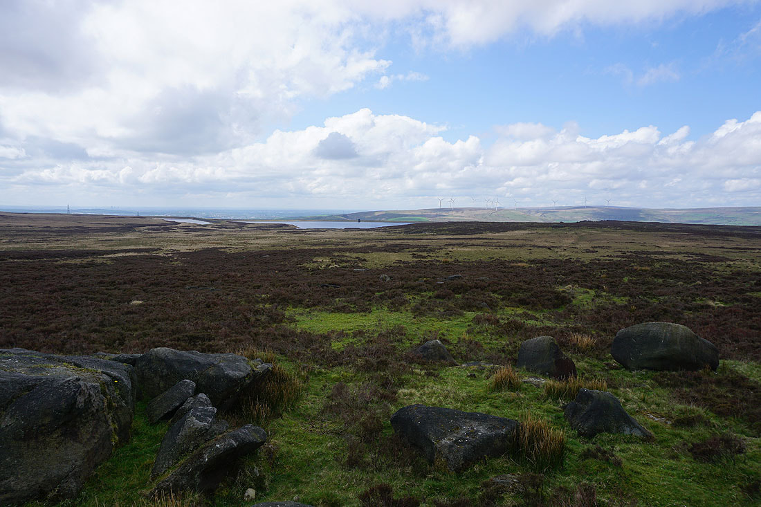
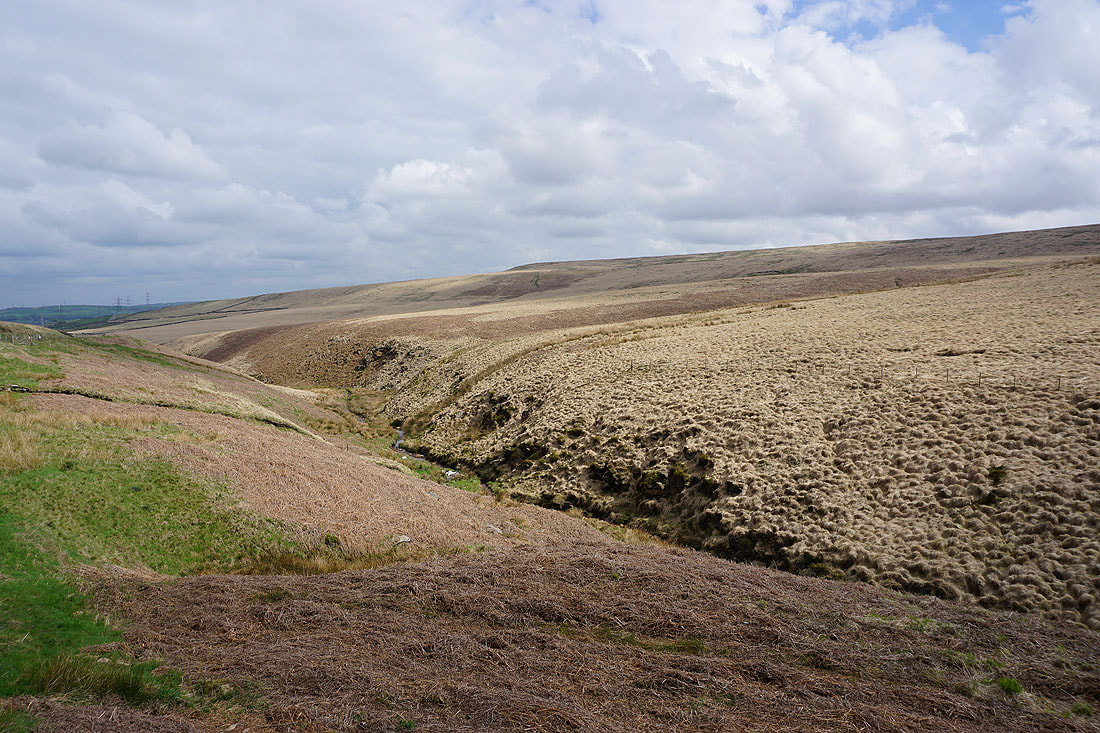
After crossing Warland Drain I followed a clear enough path up the moor to arrive at the Holder Stones trig point. Looking south to White Holme Reservoir and Blackstone Edge.
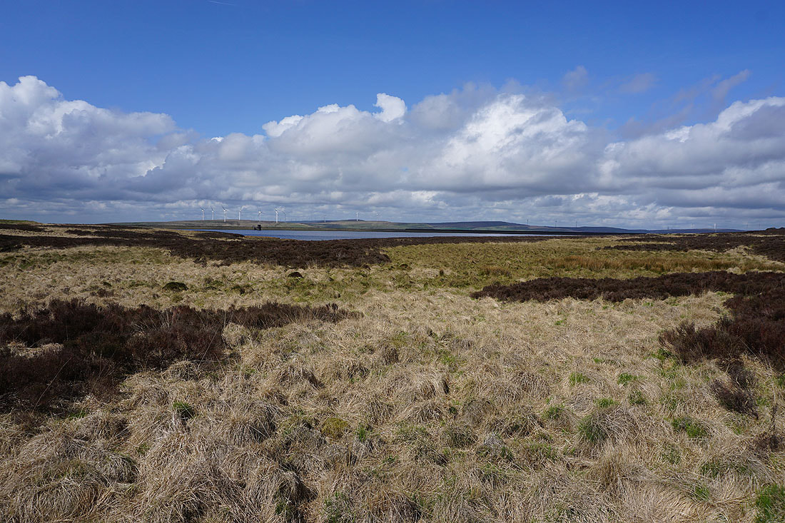
Light Hazzles Reservoir, Warland Reservoir and Shore Moor
Looking northwest across Langfield Common to Todmorden Moor and Bride Stones Moor
To the north, the moors on the other side of Calderdale beyond Stoodley Pike
The Holder Stones as I head back down to Warland Drain
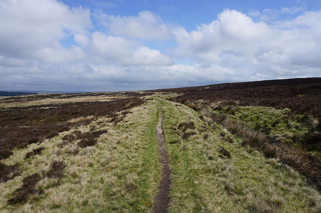
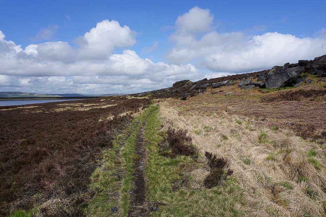
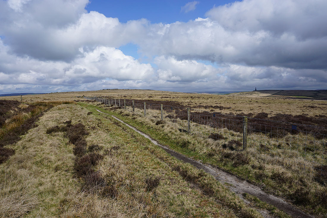
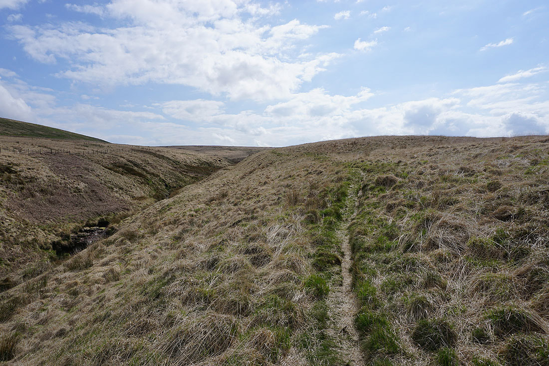
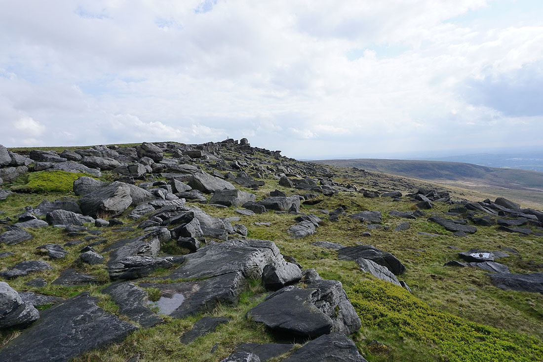
Back down on the path by Warland Drain, and I follow it east across Withens Moor
Looking across Withens Moor to Stoodley Pike
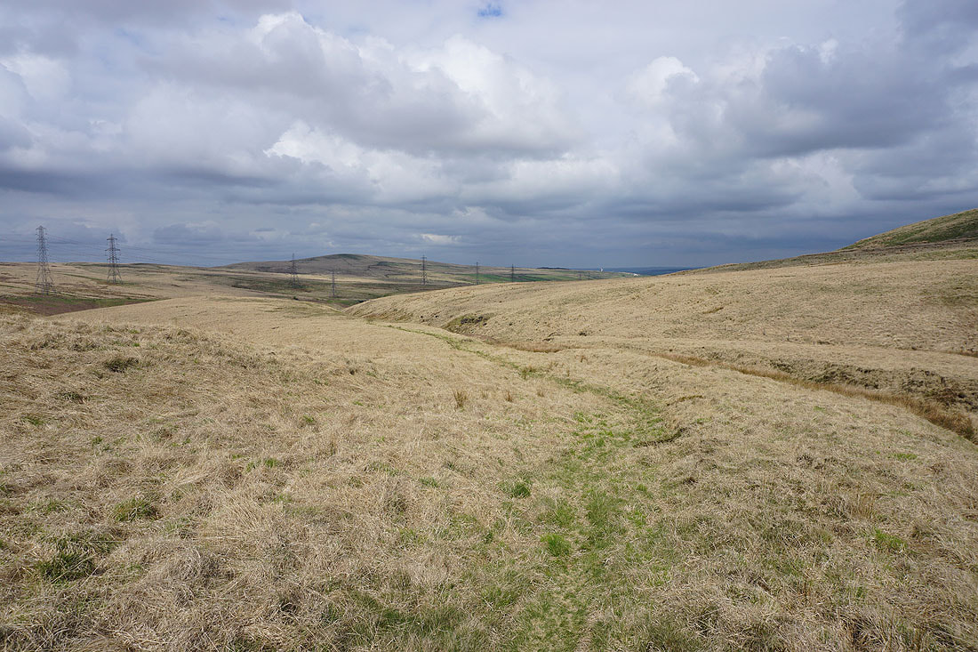
A bit further on and Withens Clough Reservoir appears below
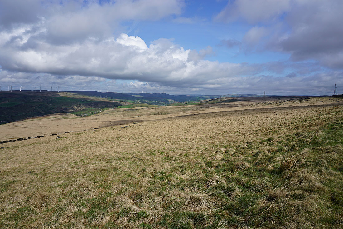
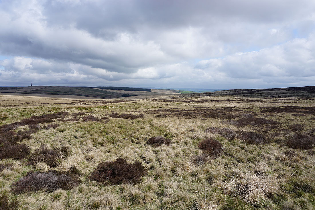
As the path by the drain starts to head south the moorland around Turvin Clough and Great Manshead Hill come into view..
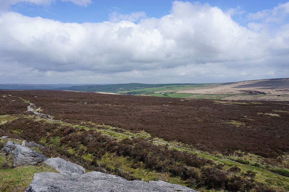
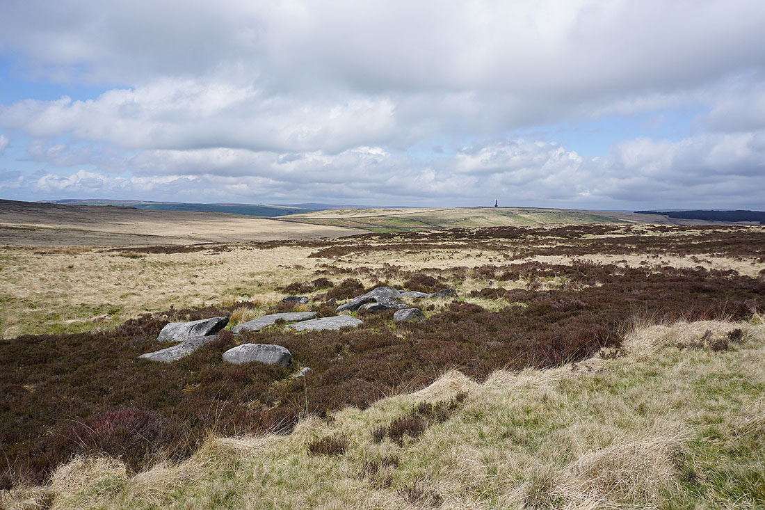
A scattering of gritstone boulders on the other side of the drain make a good vantage point. Looking across Cragg Vale to Crow Hill..
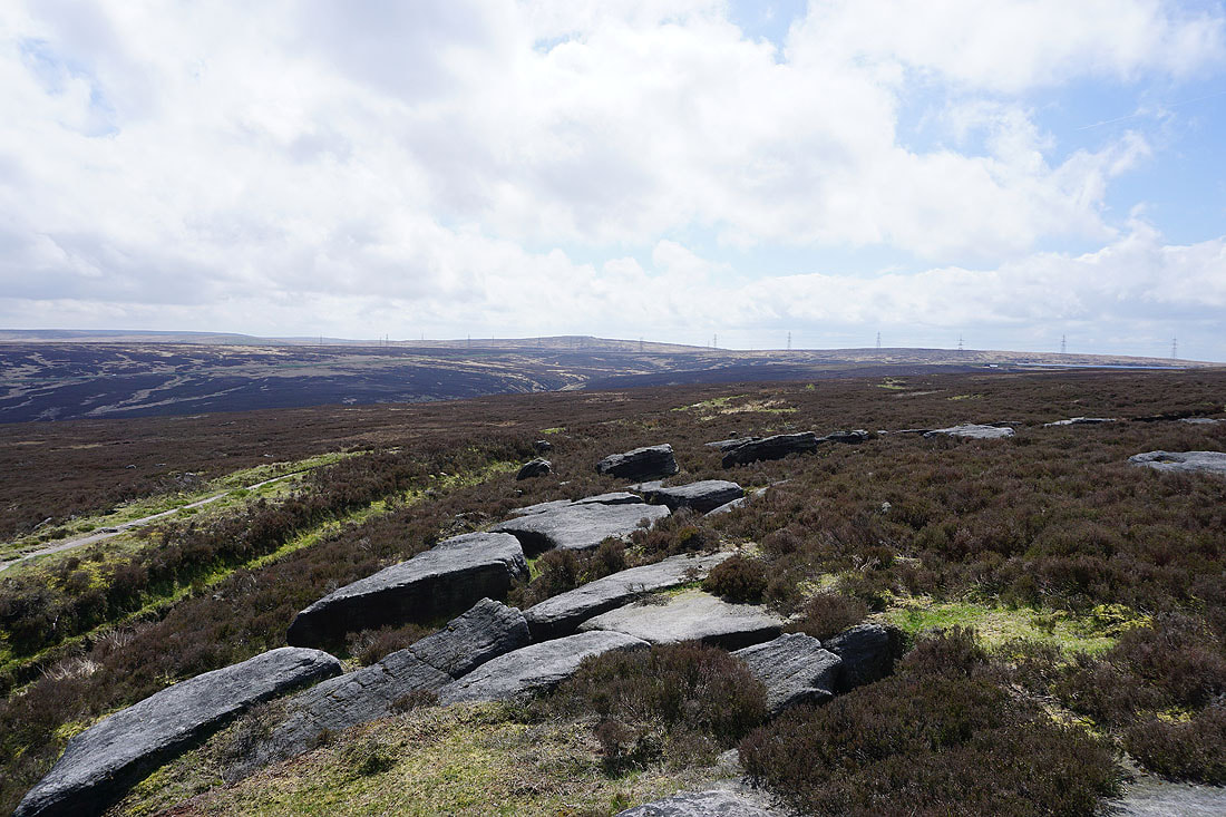
..and across the top of Turvin Clough to Blackstone Edge in the distance
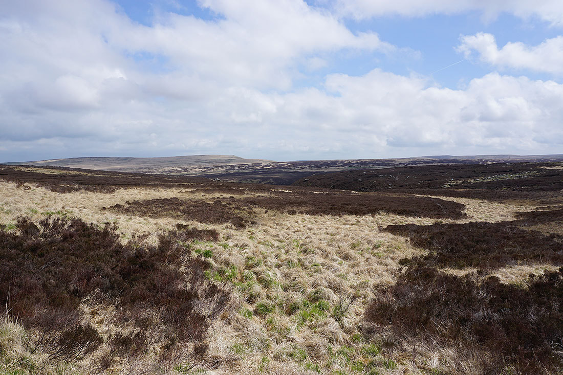
Great Manshead Hill in the distance as the path passes the top of Little Moor Clough
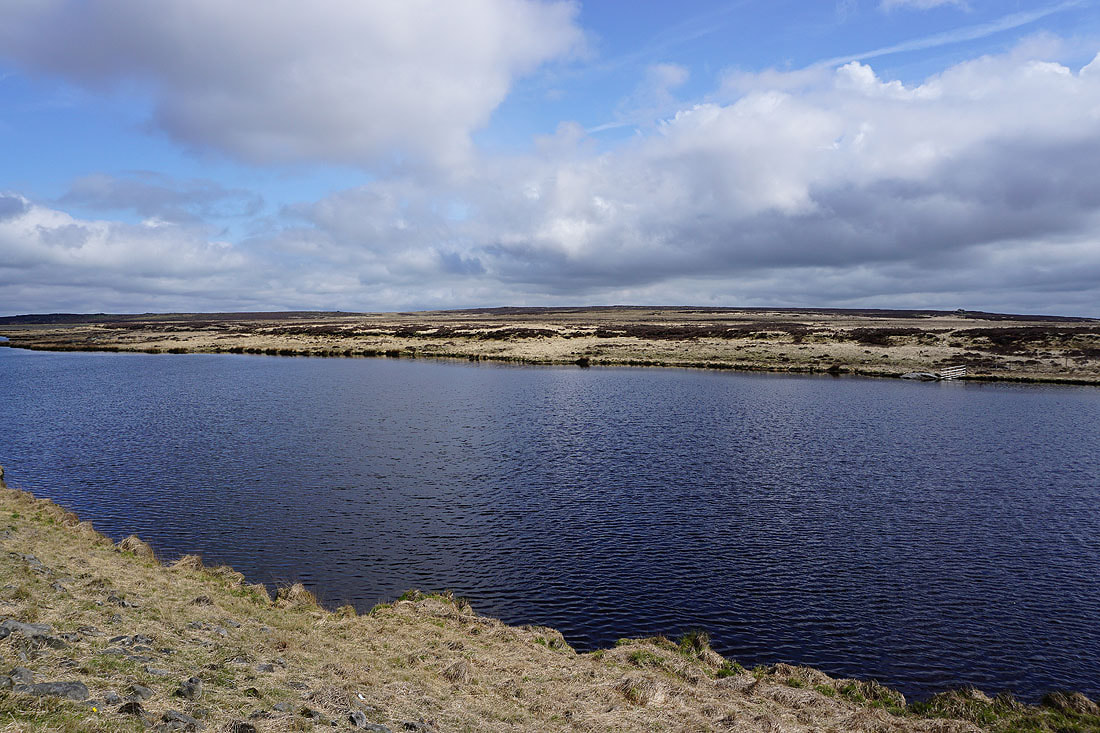
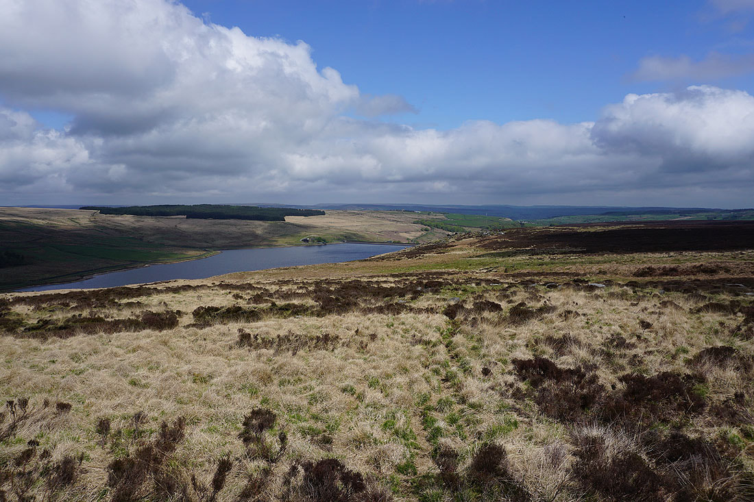
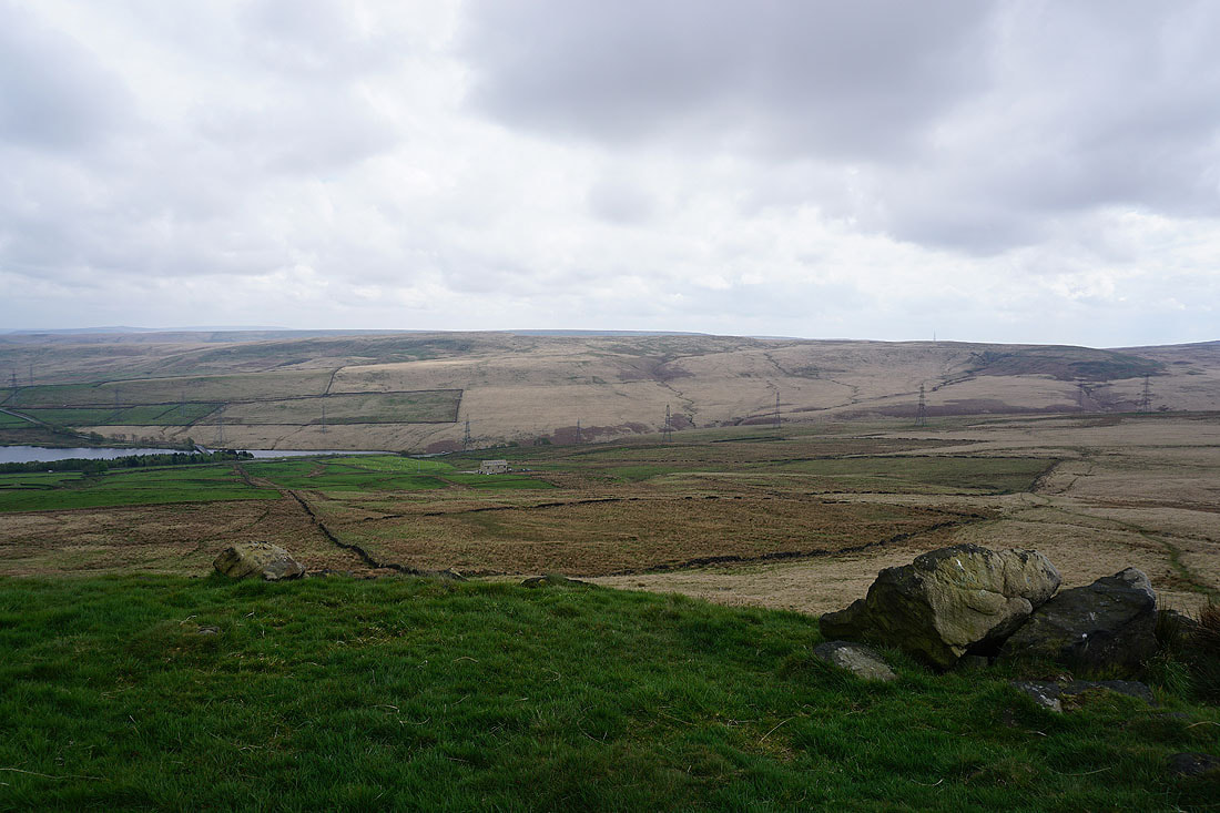
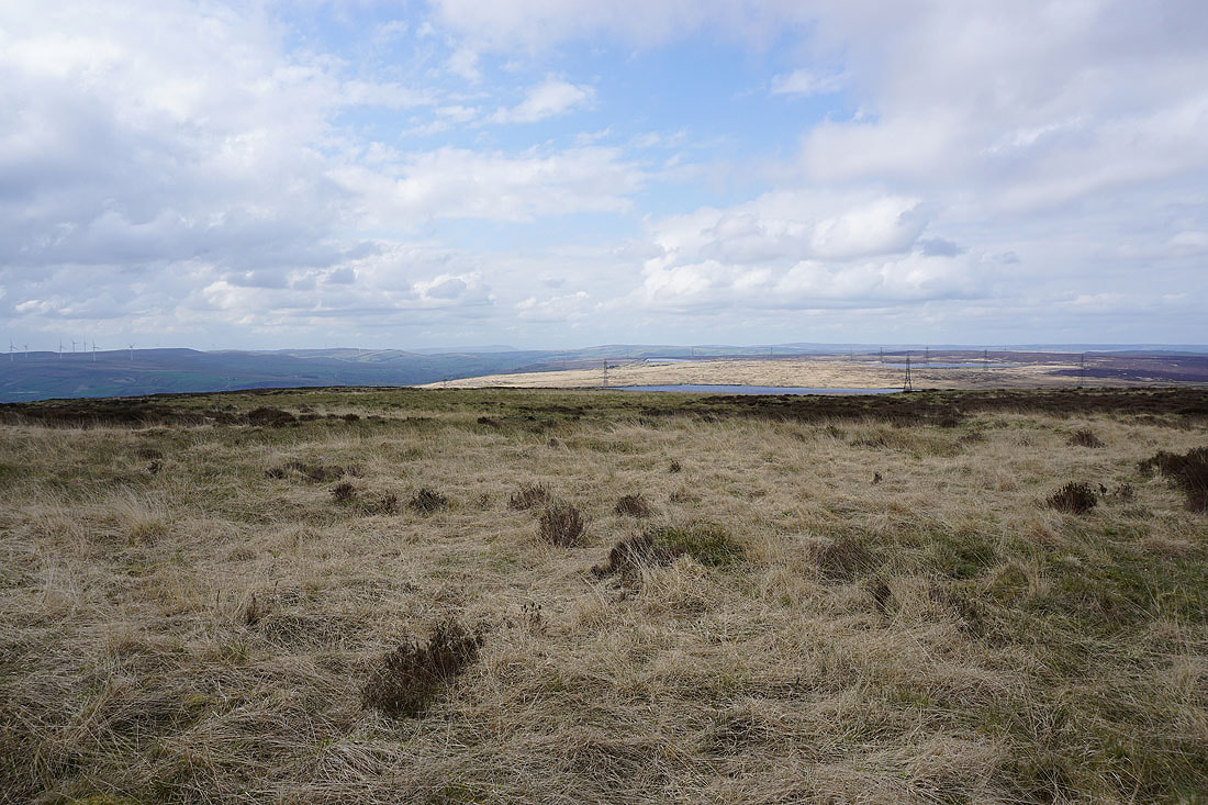
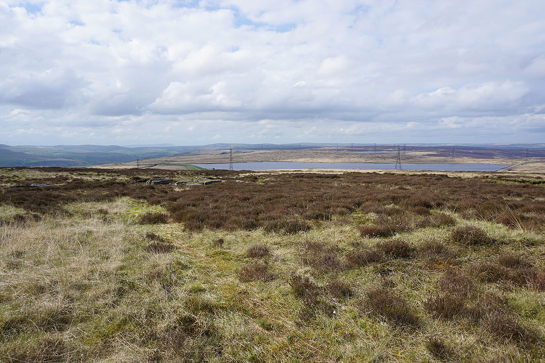
By White Holme Reservoir..
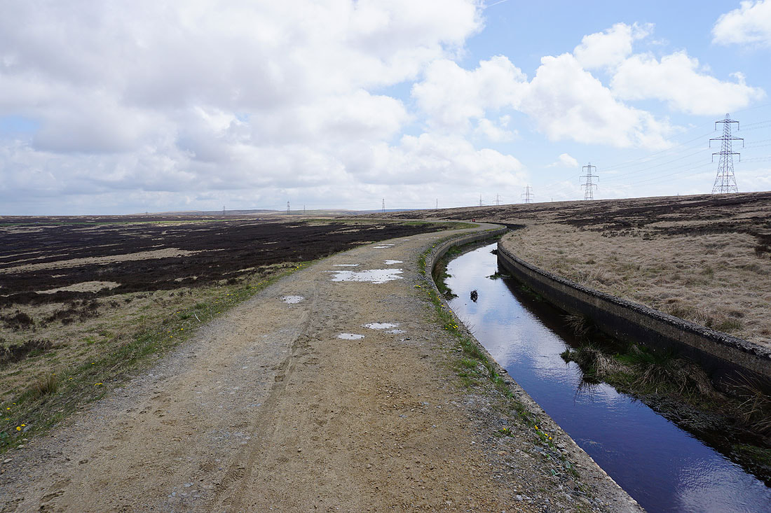
From White Holme Reservoir I follow a track by a drain to reach Turvin Road
After crossing the road I follow a path by Cold Laughton Drain across Soyland Moor towards Great Manshead Hill
Great Manshead Hill ahead. Getting there looks easy, but I hadn't reckoned on the boggy ground below this western side of the hill.

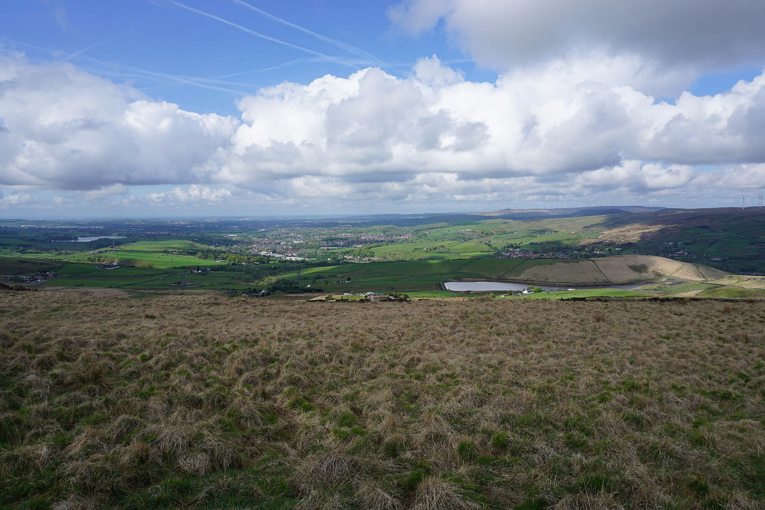
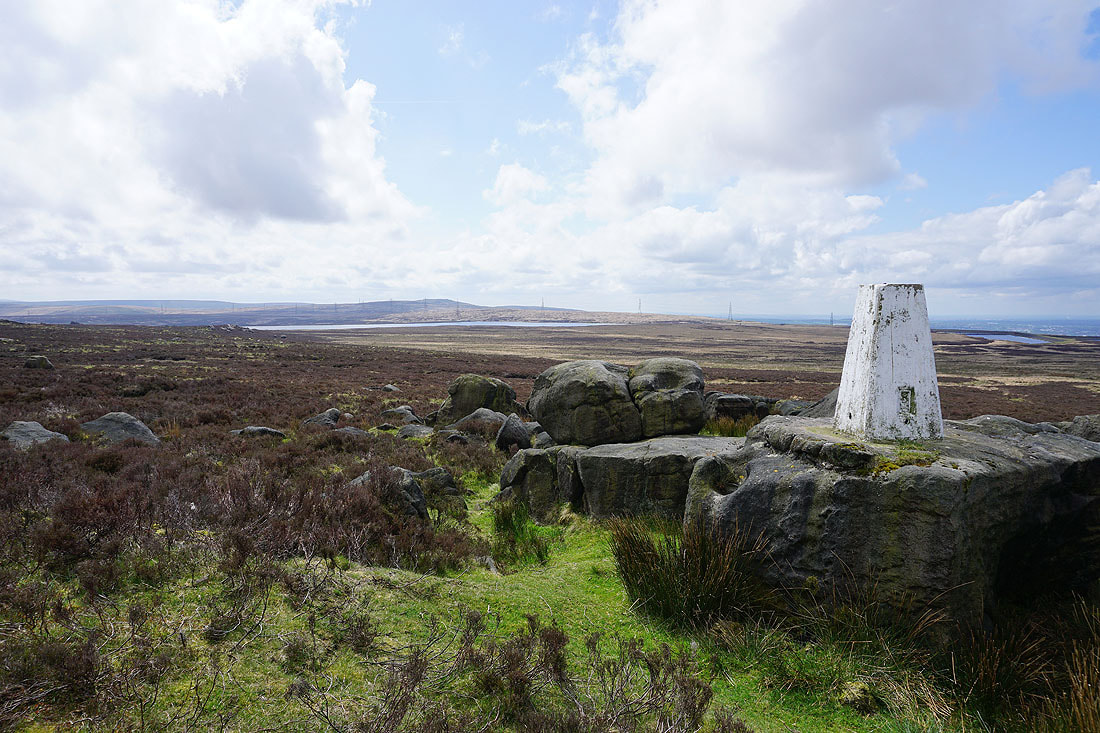
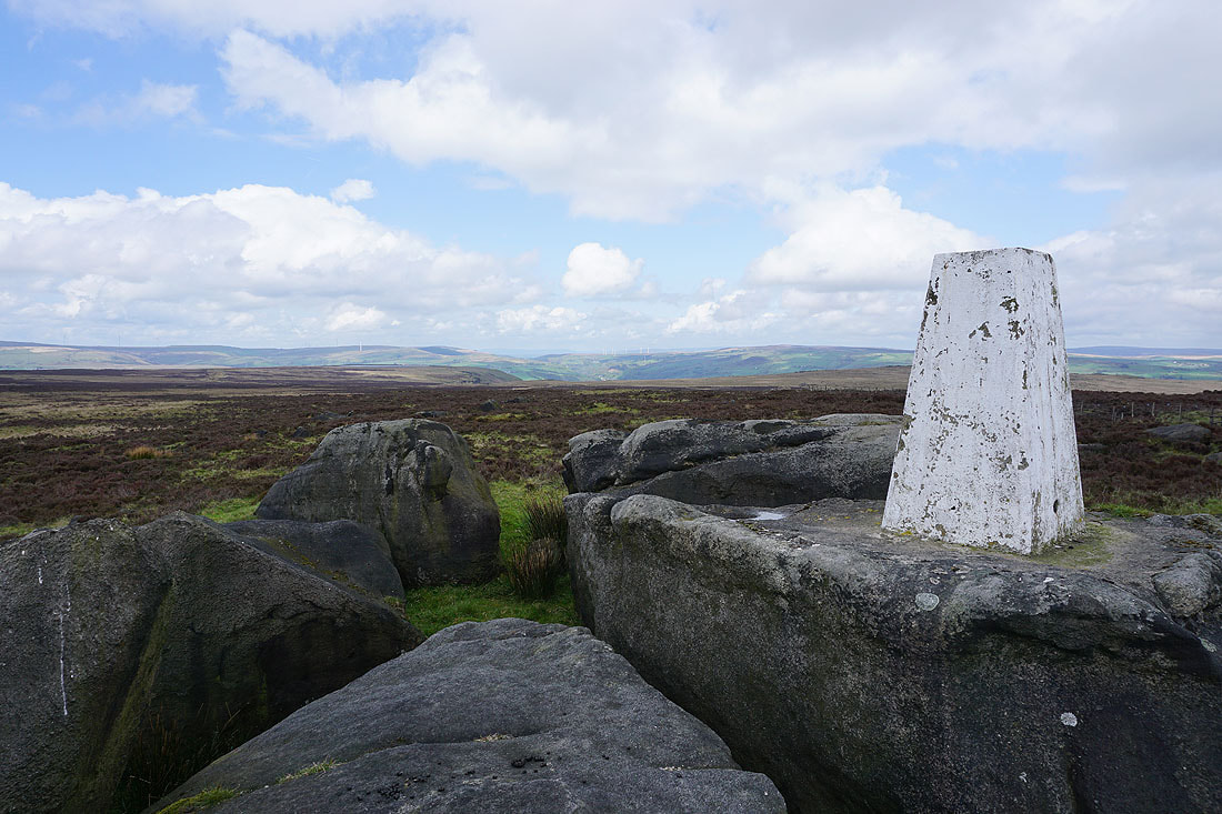
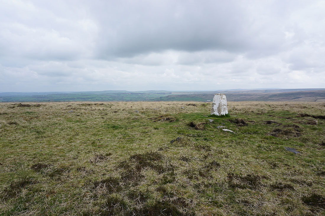
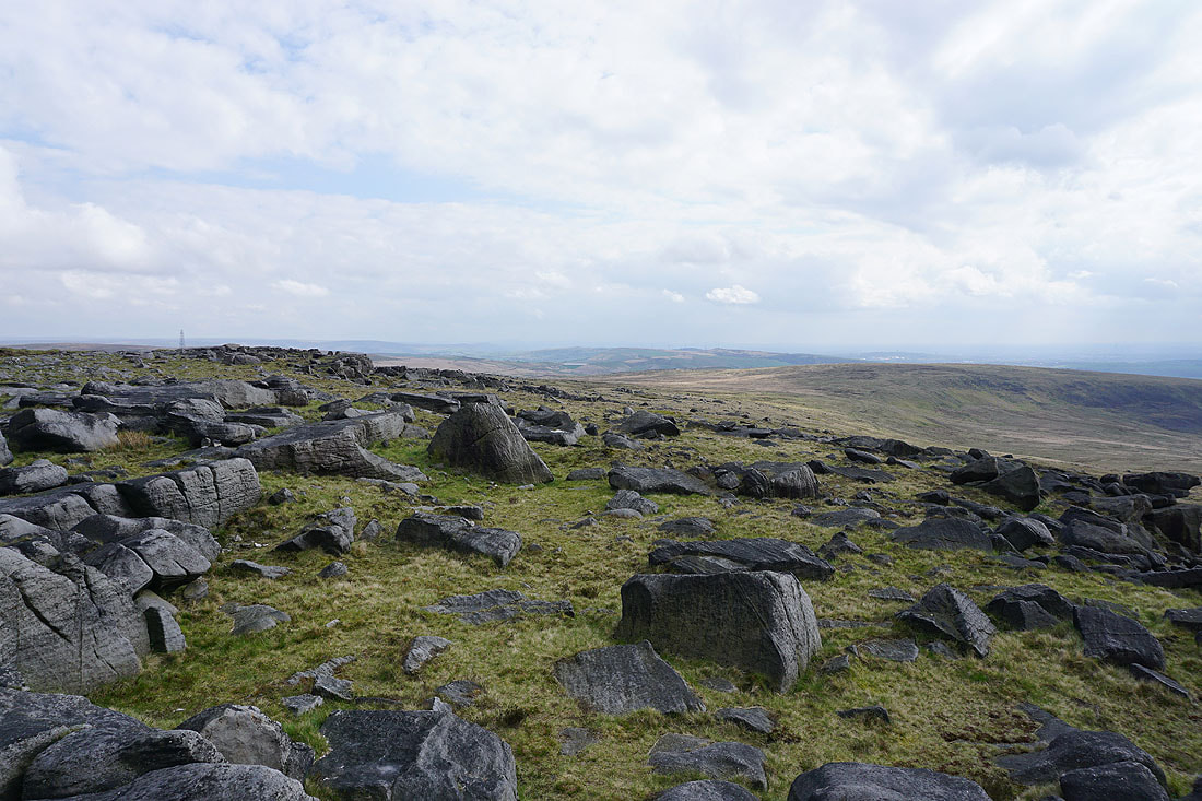
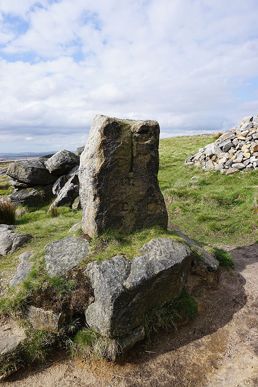
At the trig point on Manshead End
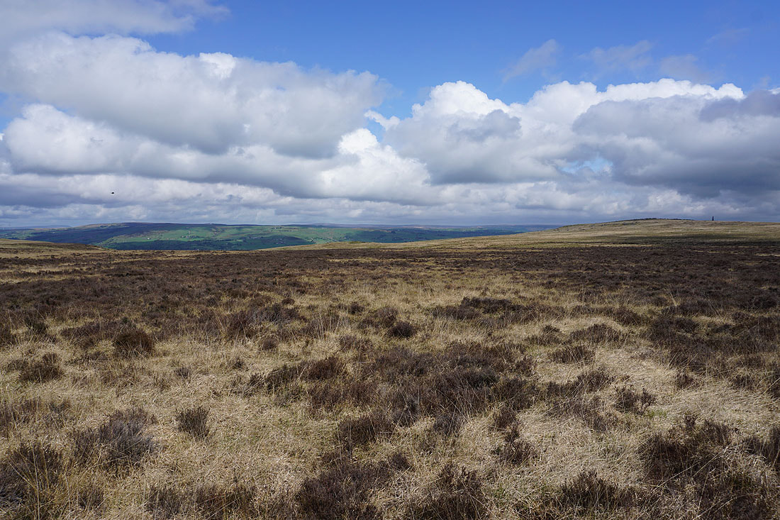
Looking east and southeast across the valley of the River Ryburn to Ringstone Edge Moor and Blackwood Edge..
..and north down Cragg Vale
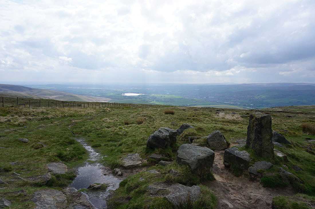
Blackstone Edge to the southwest
Baitings Reservoir below
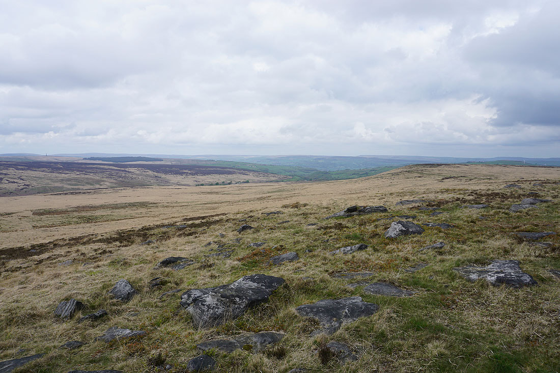
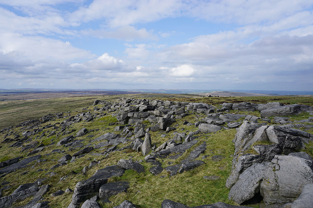
Rishworth Moor to the south
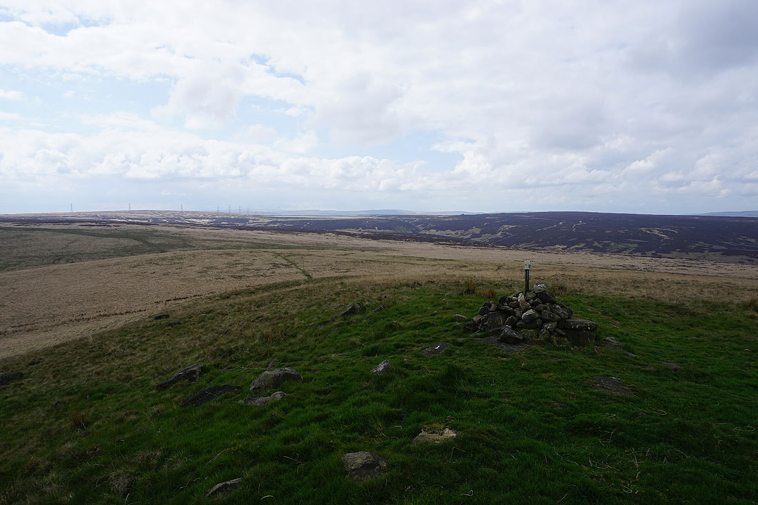
Byron Edge and the moorland of Holder Stones to the west
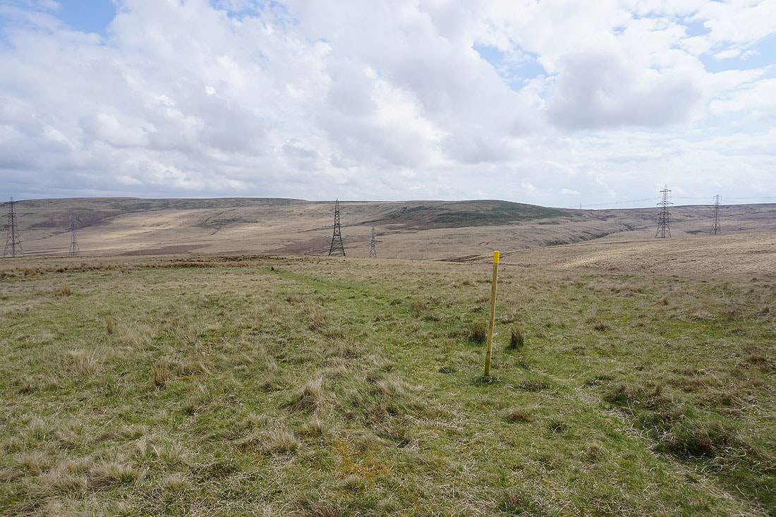
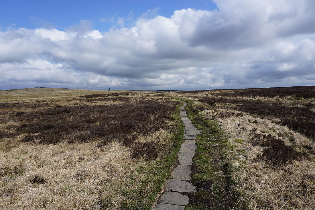
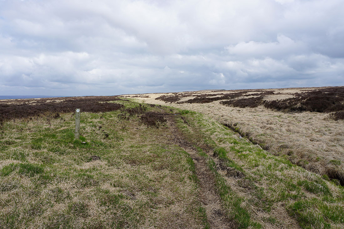
Down from Manshead End and I'm following a path marked by yellow topped posts that will take me down to New Gate End Bridge on the A58
After crossing the A58 I'm on the bridleway at the bottom of Rag Sapling Clough
Following the bridleway up Rag Sapling Clough..
Looking back down Rag Sapling Clough to Great Manshead Hill
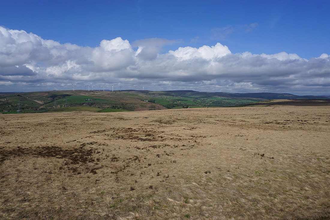
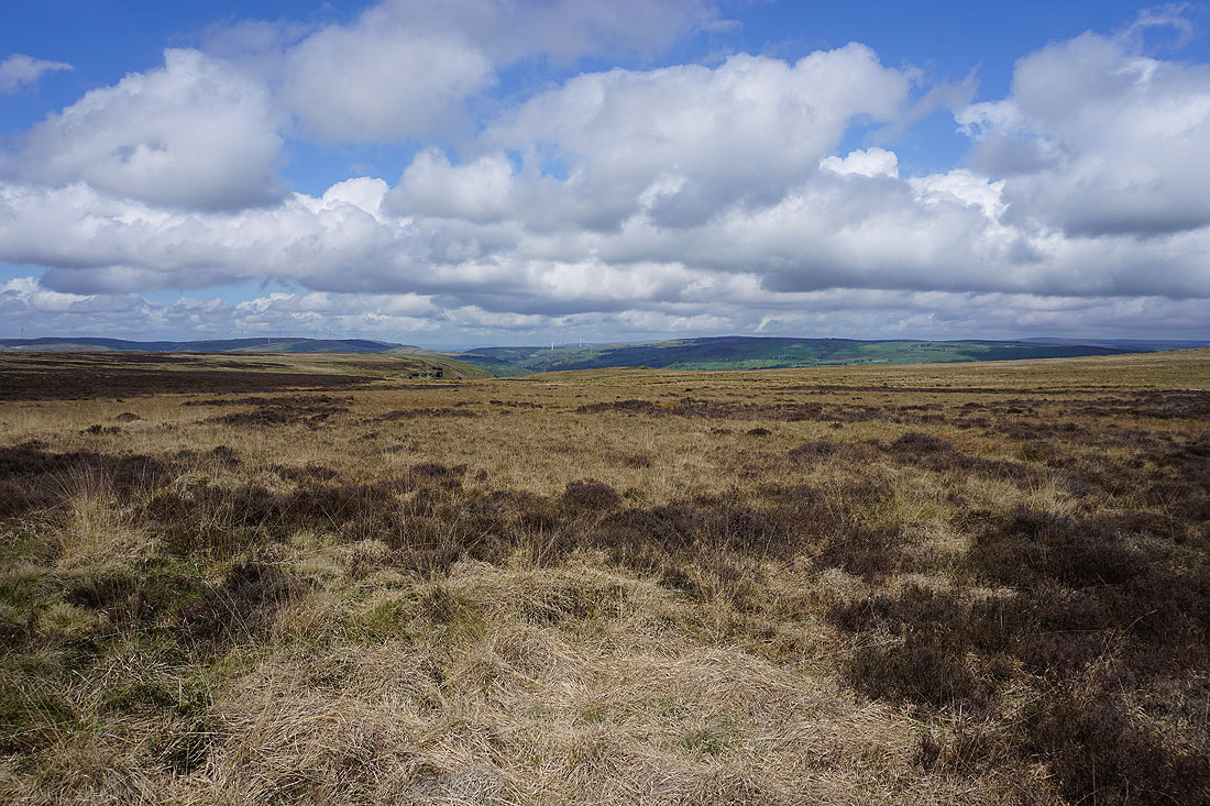
Rishworth Moor to the east
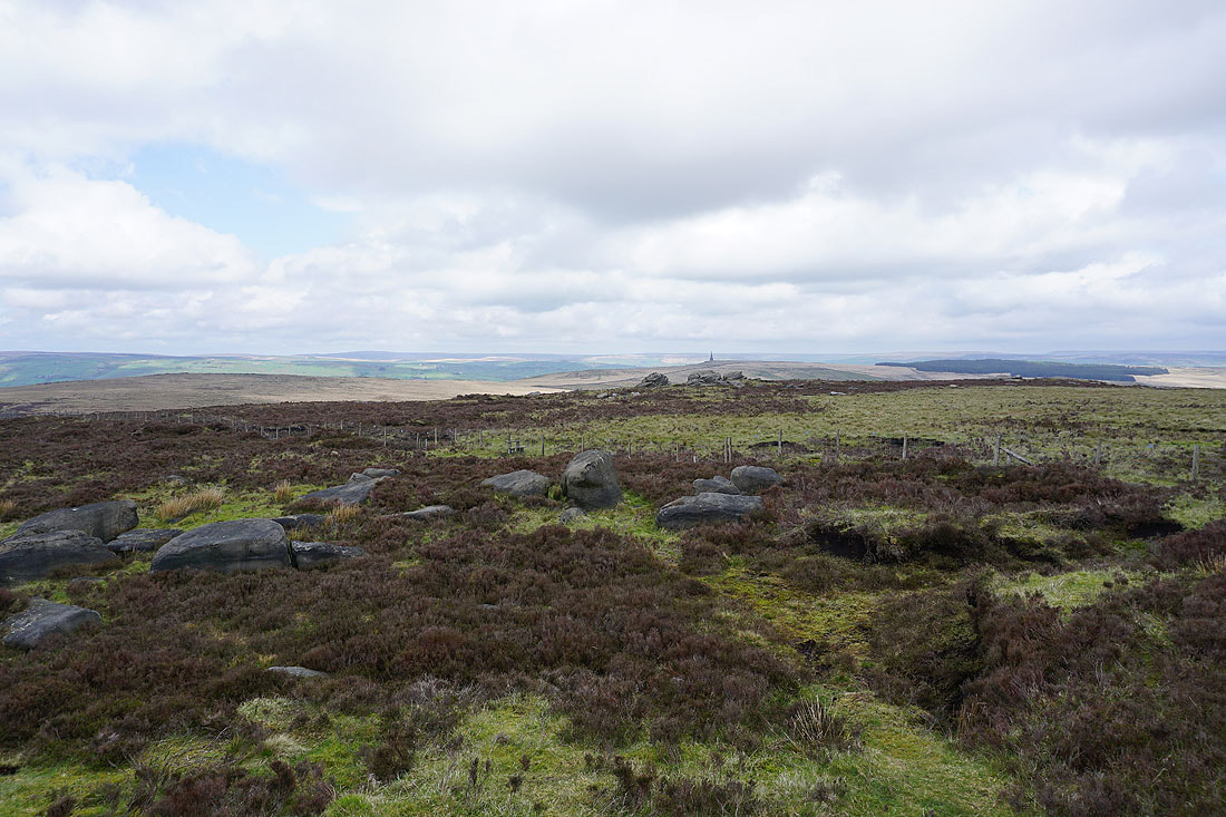
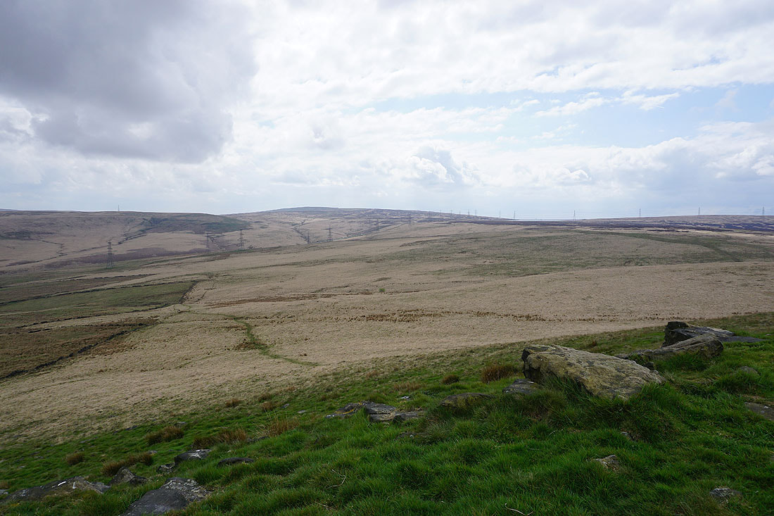
As I reach the top of the bridleway I can see Blackstone Edge Reservoir and the moors of Calderdale to the north, along with a distant Pendle Hill
At the Aiggin Stone. Hollingworth Lake and Littleborough below.
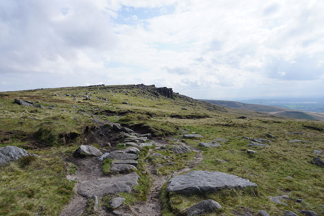
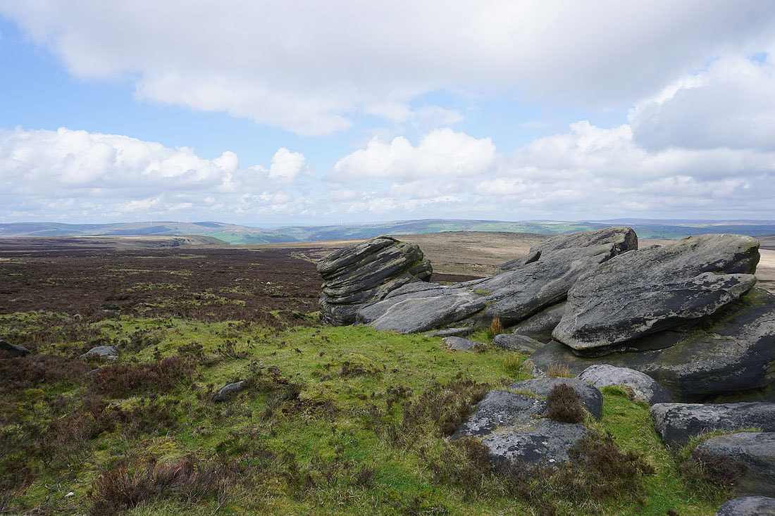
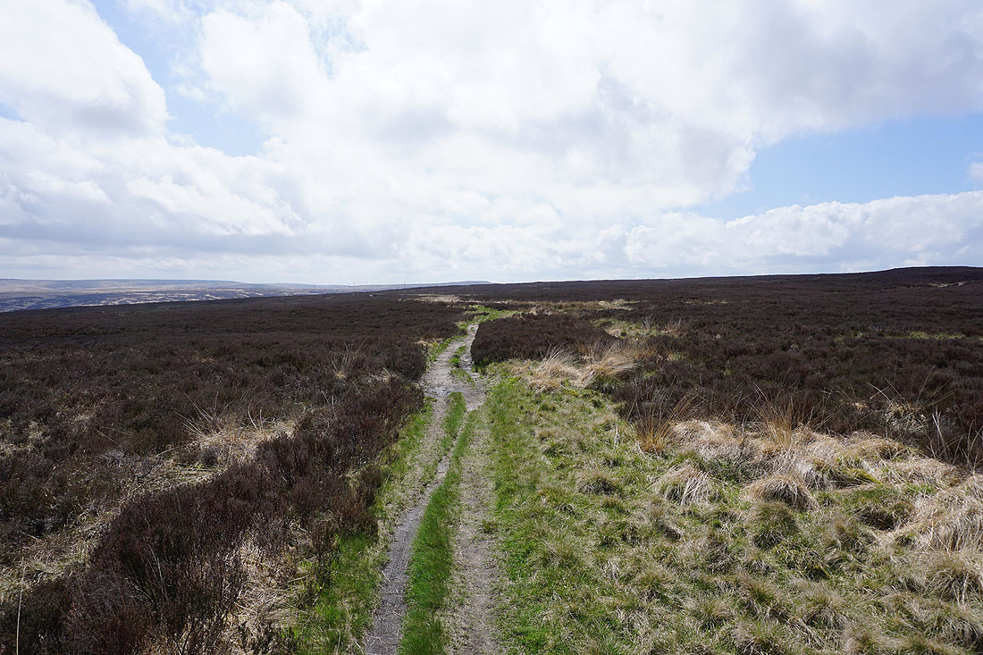
On the Pennine Way to Blackstone Edge
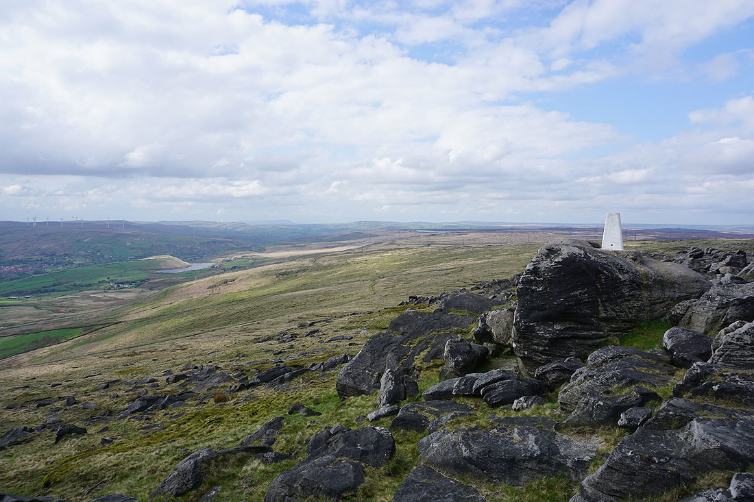
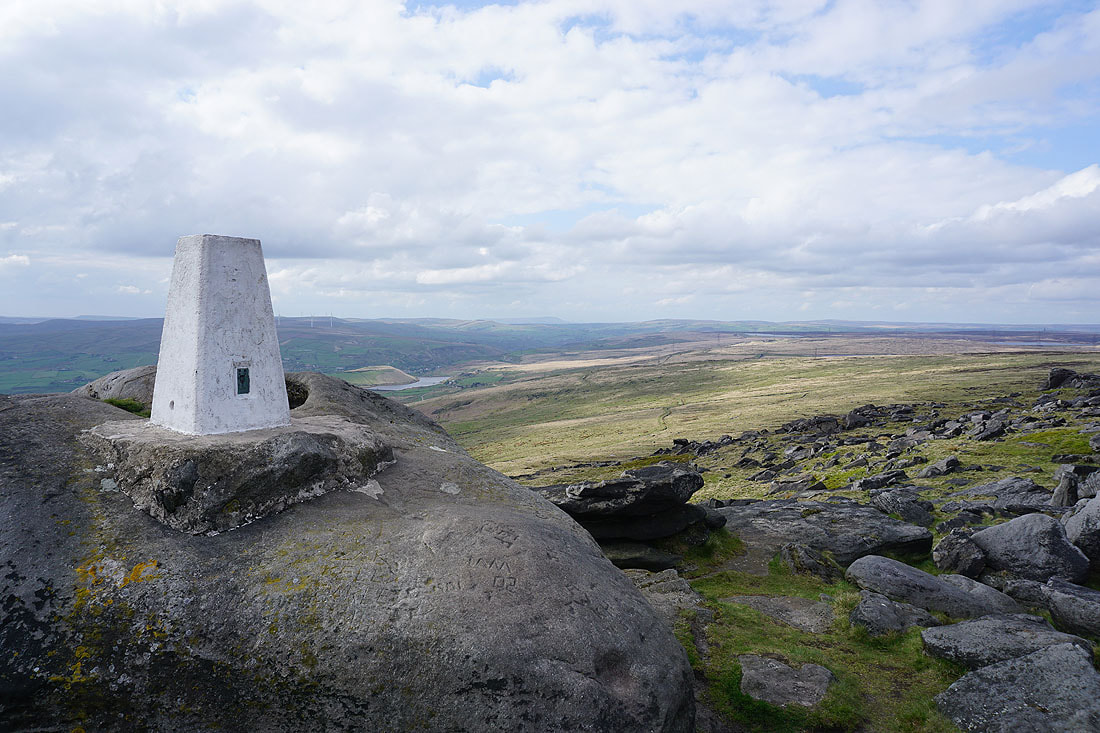
At the trig point on Blackstone Edge. Looking north through the Summit gorge to a distant Pendle Hill.
The Saddleworth moors to the south..
..and the moors around Calderdale to the north
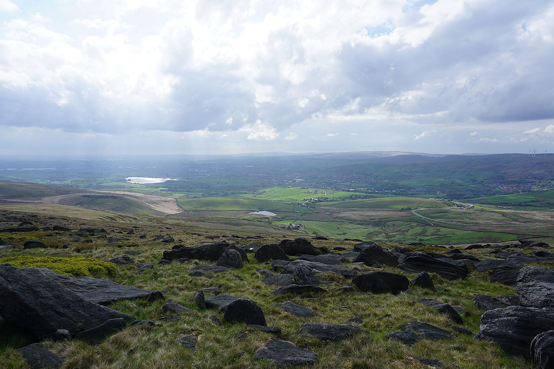
Hollingworth Lake and Littleborough below, with Winter Hill in the distance
To reach the trig point a bit of a scramble is required
Looking back to the trig point as I head north on the Pennine Way
The Aiggin Stone. A medieval guide stone that sits at the top of the packhorse route that crossed the Pennines just to the north of Blackstone Edge. It's about 600 yrs old.
Blackstone Edge Reservoir ahead as I cross Blackstone Edge Moor back to the car park by the A58