7th November 2010 - The Howgills
Walk Details
Distance walked: 11.9 miles
Total ascent: 3060 ft
OS map used: OL19 - Howgill Fells & Upper Eden Valley
Time taken: 6 hrs
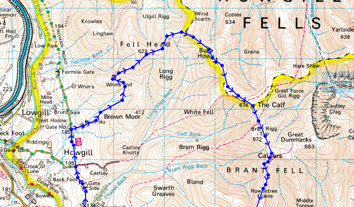
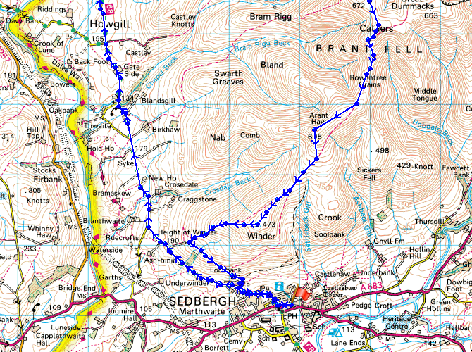
Route description: Sedbergh-Howgill Lane-Beck House-Whin's End-Fell Head-Breaks Head-Bush Howe-The Calf-Calders-Rowantree Grains-Arant Haw-Winder-Lockbank Farm-Sedbergh
I set out from Sedbergh and walked along Howgill Lane until I reached the footpath past Beck House to Beck House Gates. I then climbed up to the summit of Fell Head. From Fell Head I walked across to The Calf. From The Calf I followed the path to Calders and then down to Winder and back to Sedbergh.
Route map
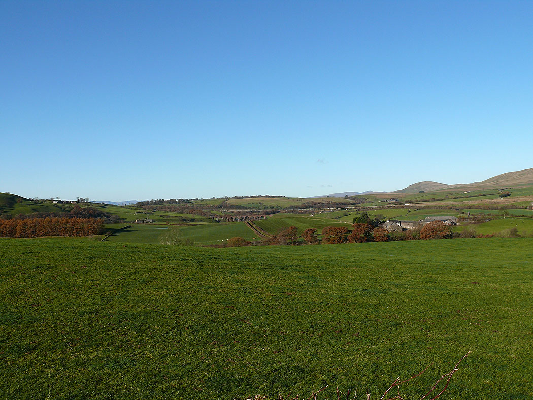
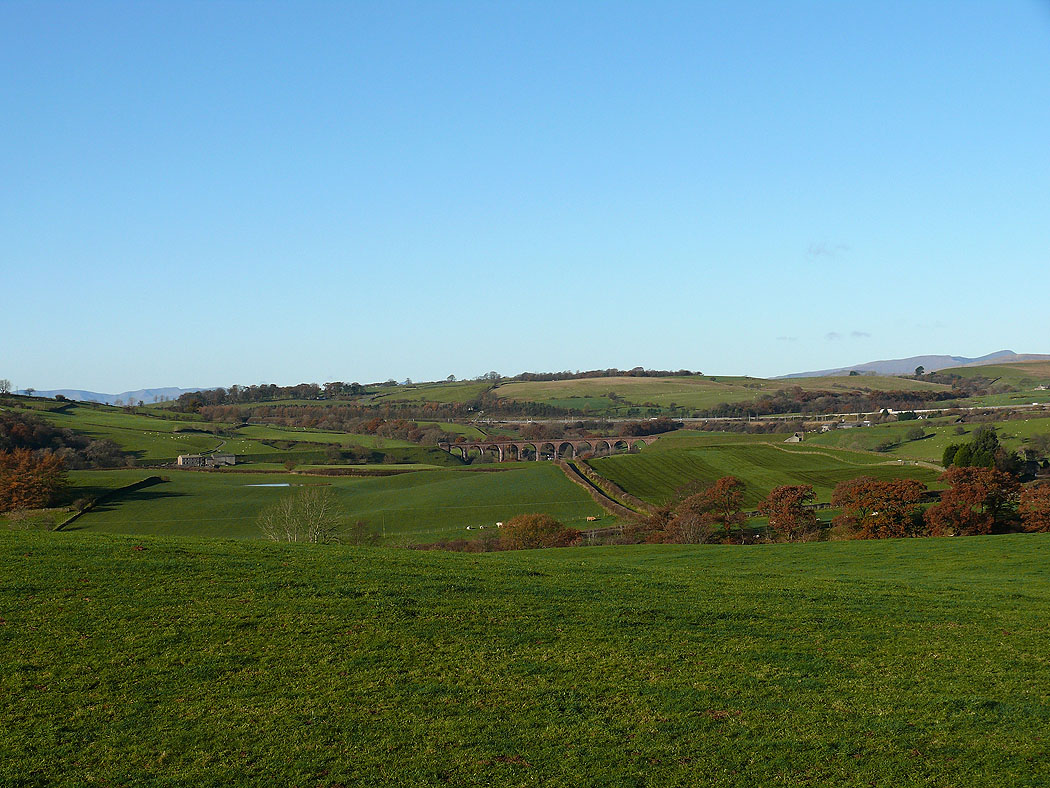
The view west from Howgill Lane. The viaduct in the picture is Lowgill viaduct.
Zooming in
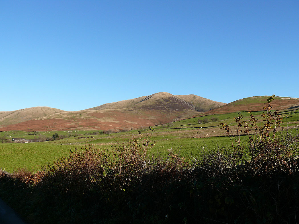
Fell Head
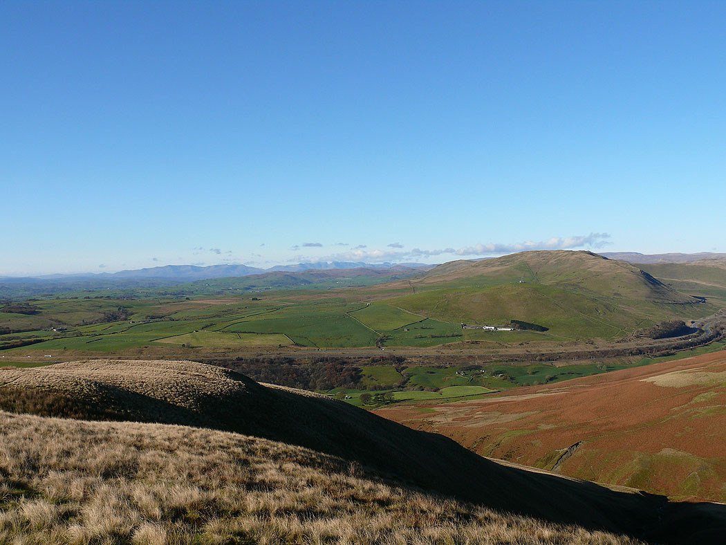
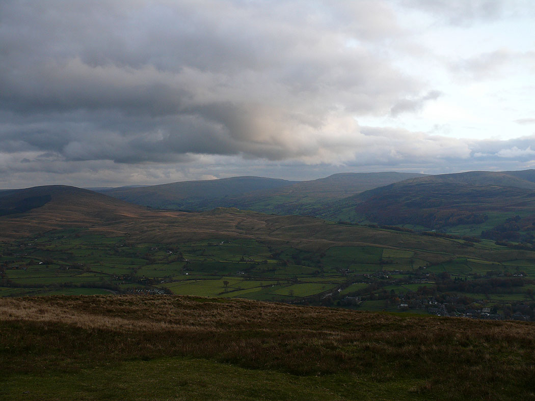
The view west from the climb up Whin's End
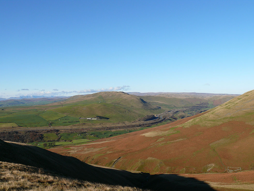
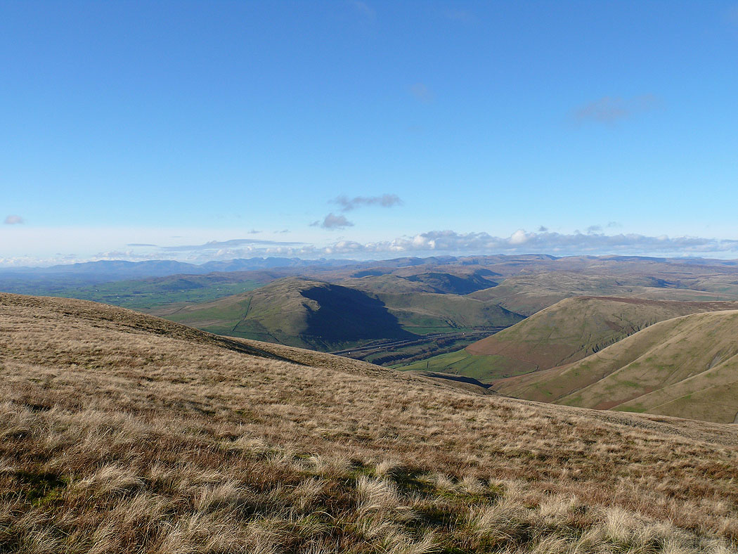
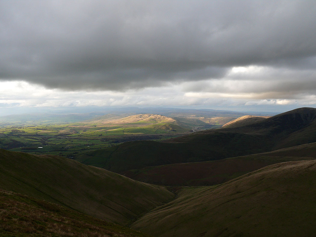
The view across to the Lune gorge
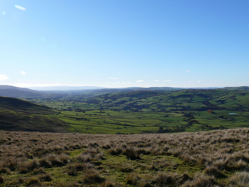
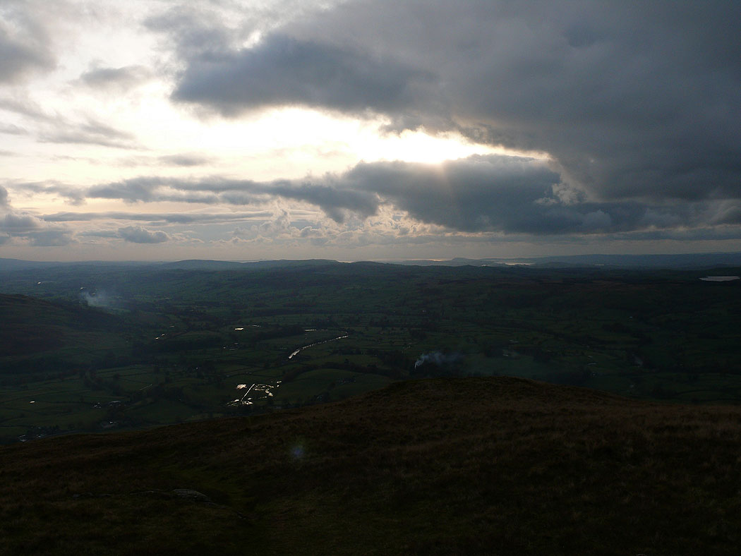
The Lune valley
Calders and Arant Haw
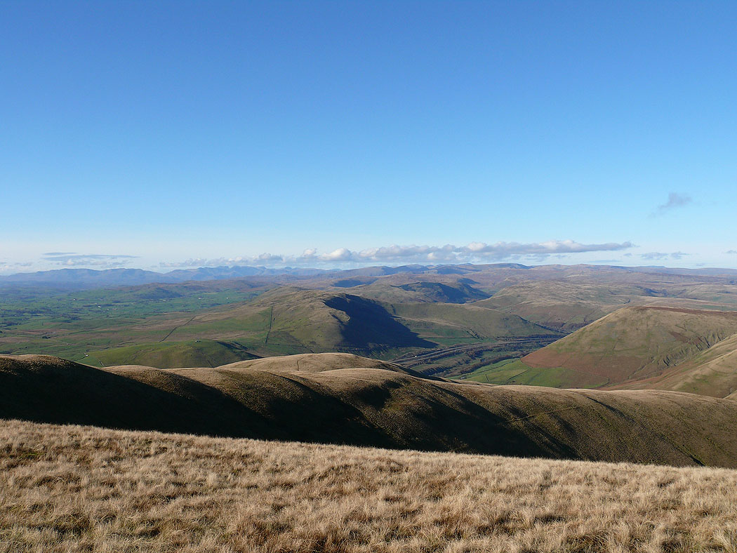
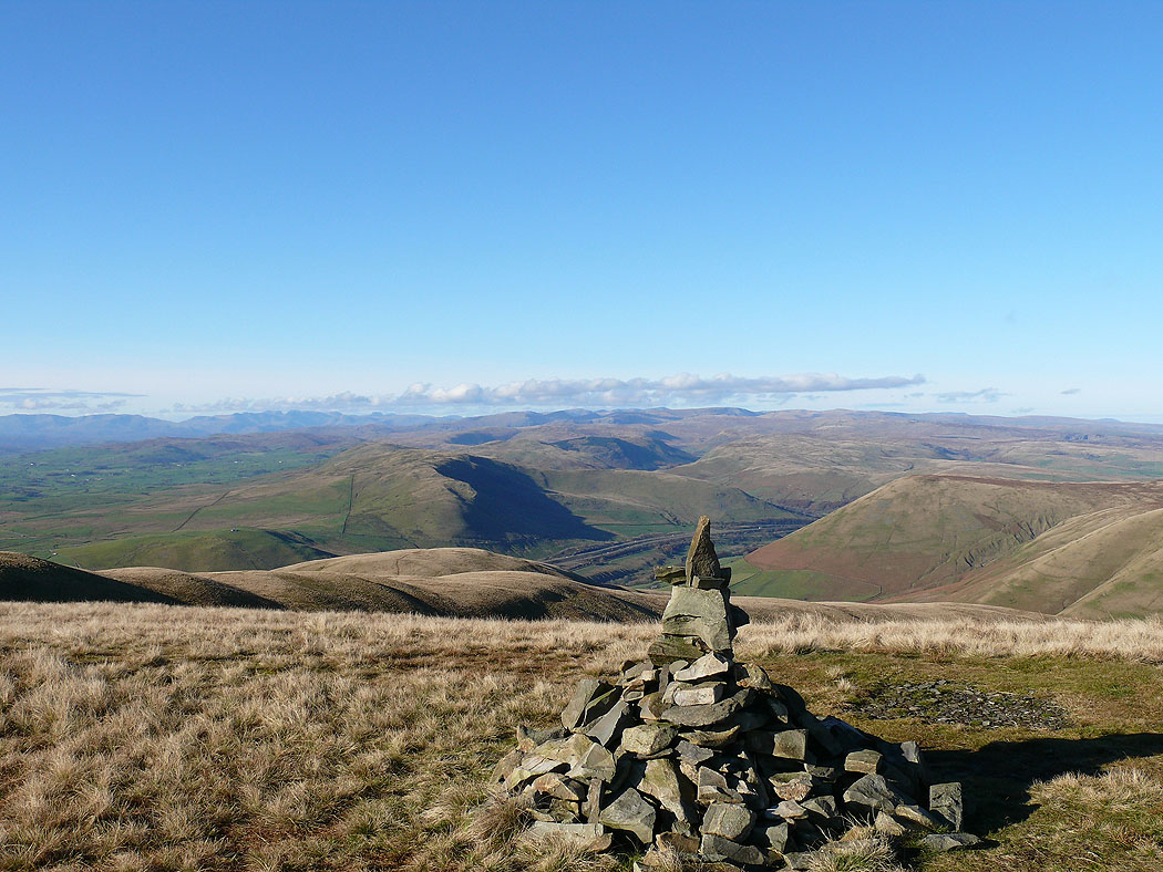
The view across to the Lake District fells from Fell Head
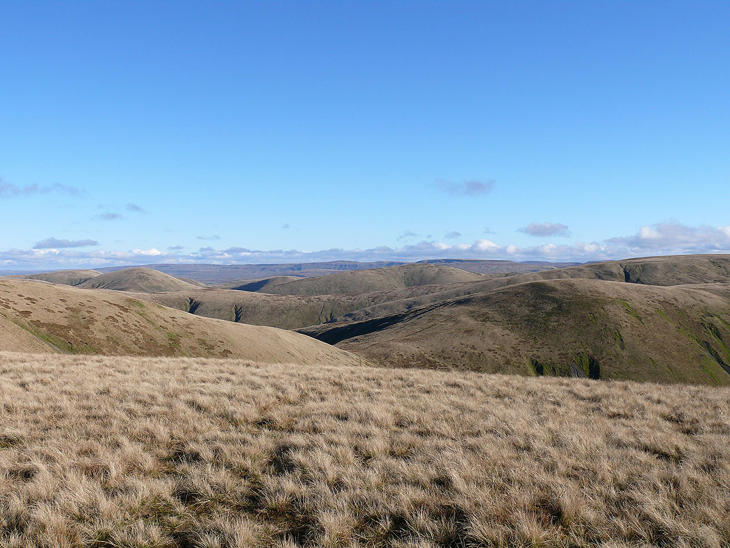
The hills of the Yorkshire Dales in the distance
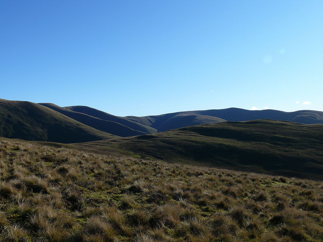
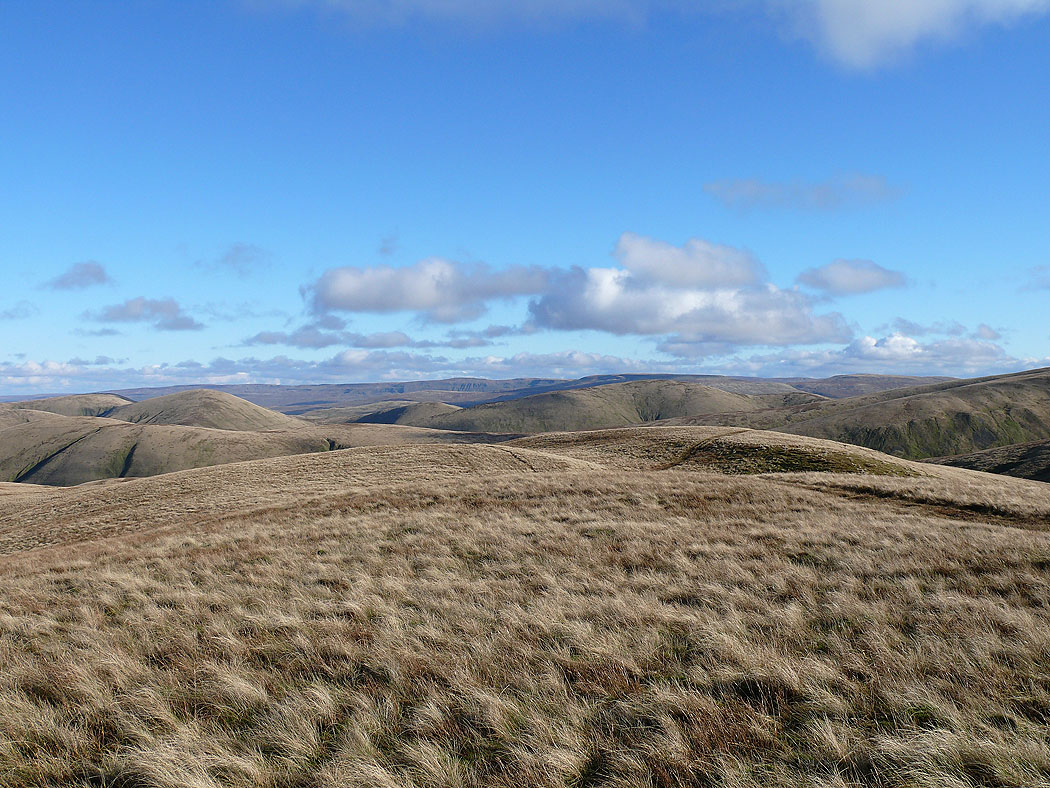
The northern Howgills
The view from Fell Head
Cross Fell and the North Pennines in the distance
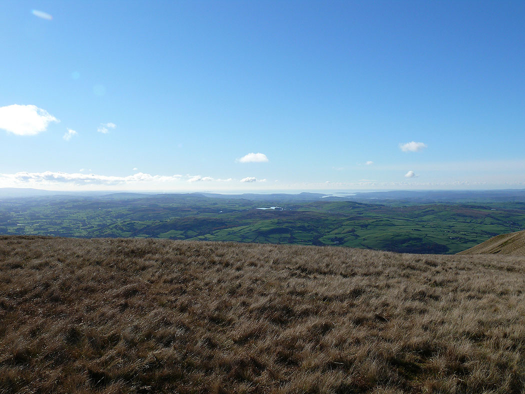
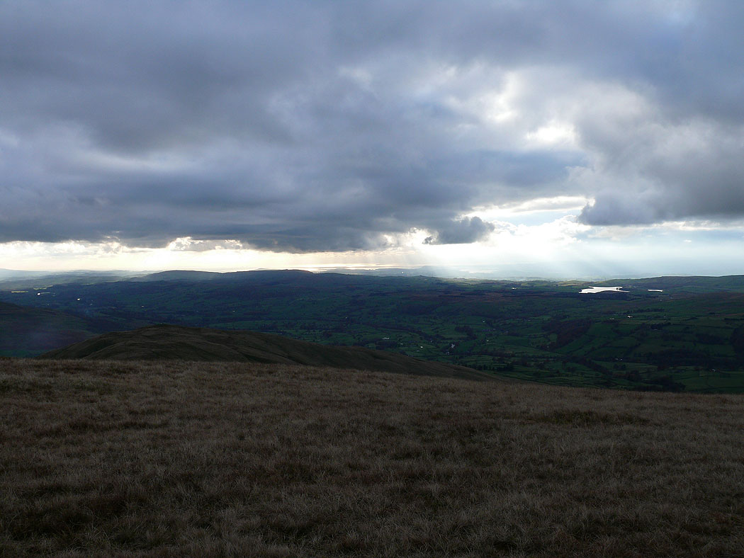
Morecambe Bay in the distance
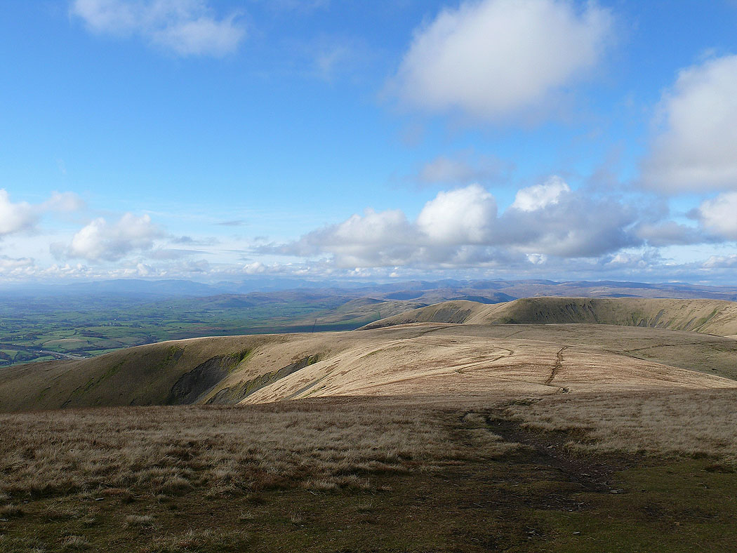
Heading for The Calf
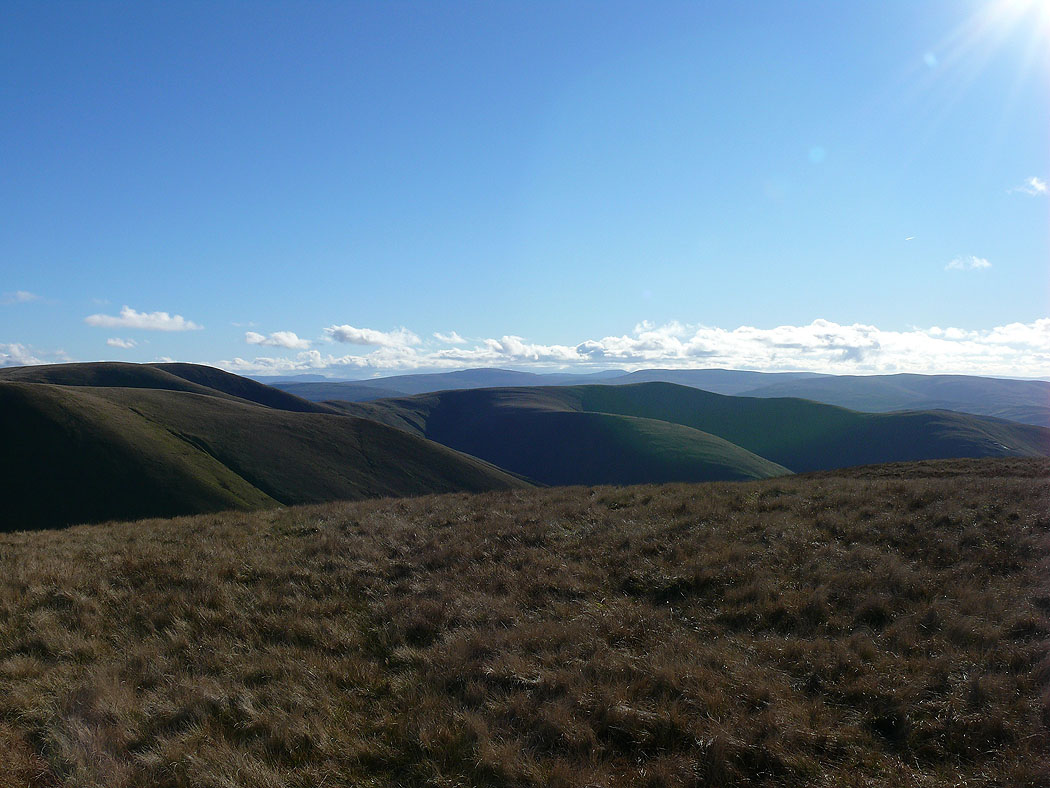
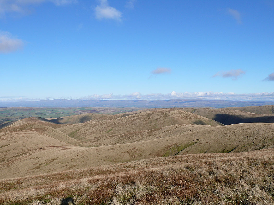
North Pennines and the northern Howgills
Looking back to a distant Lakeland
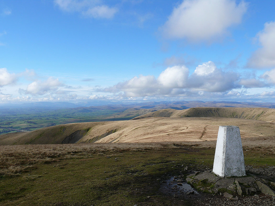
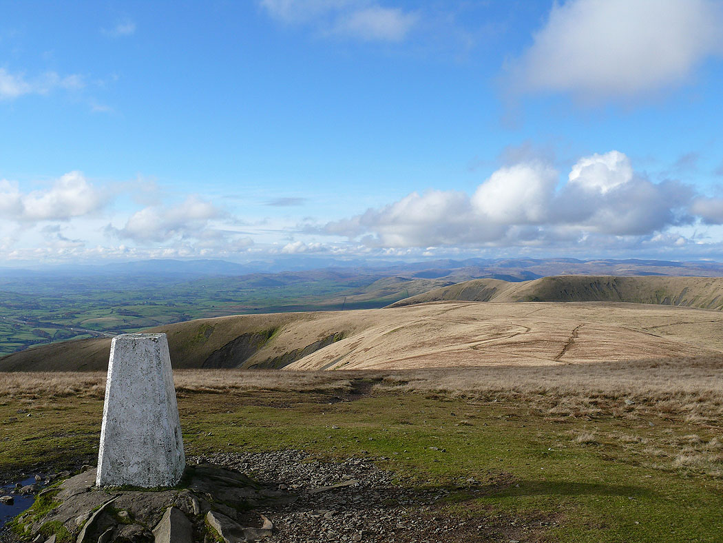
On the summit of The Calf...
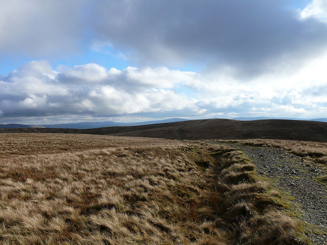
The path that leads to Calders
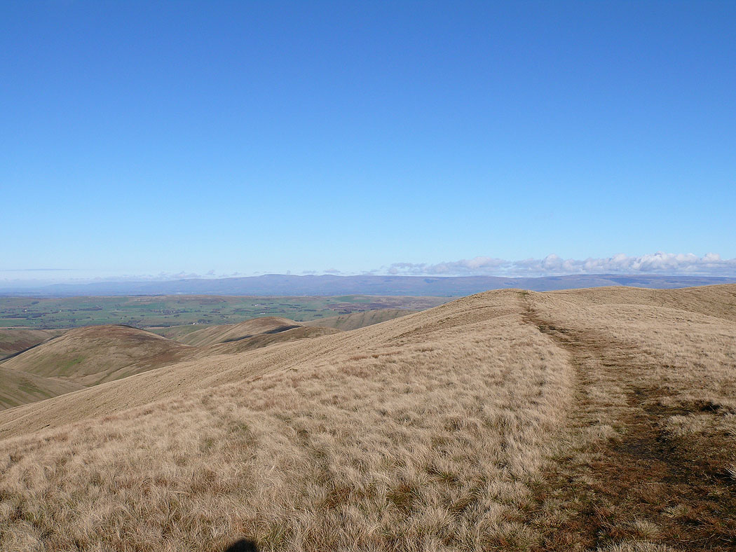
The North Pennines from The Calf
One last shot before moving on
On Calders looking down into the Rawthey valley
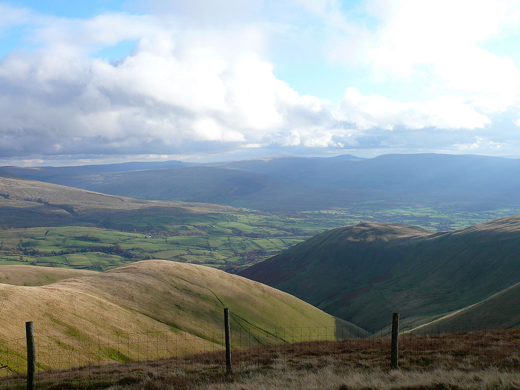
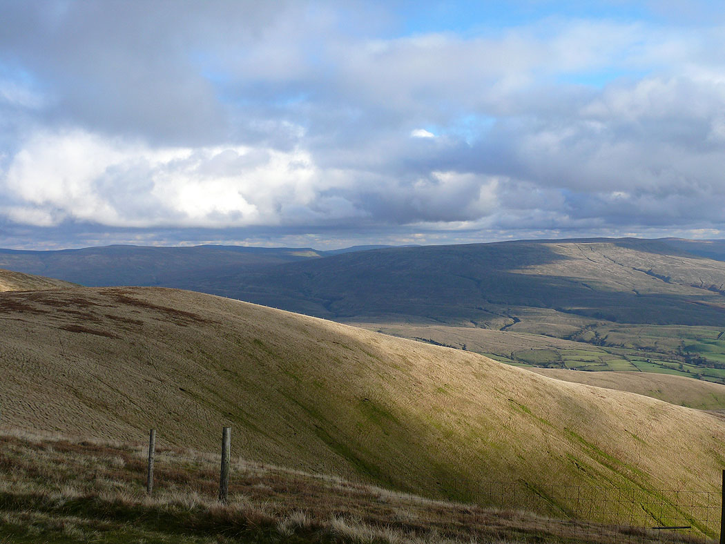
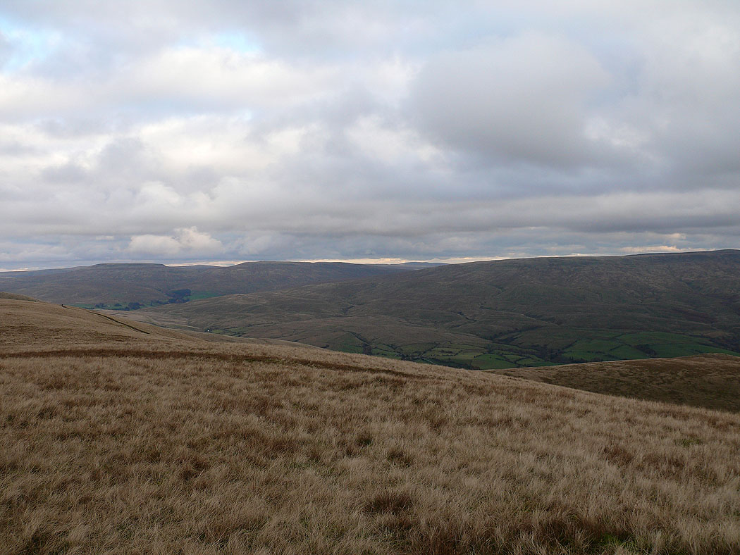
The view across to Baugh Fell
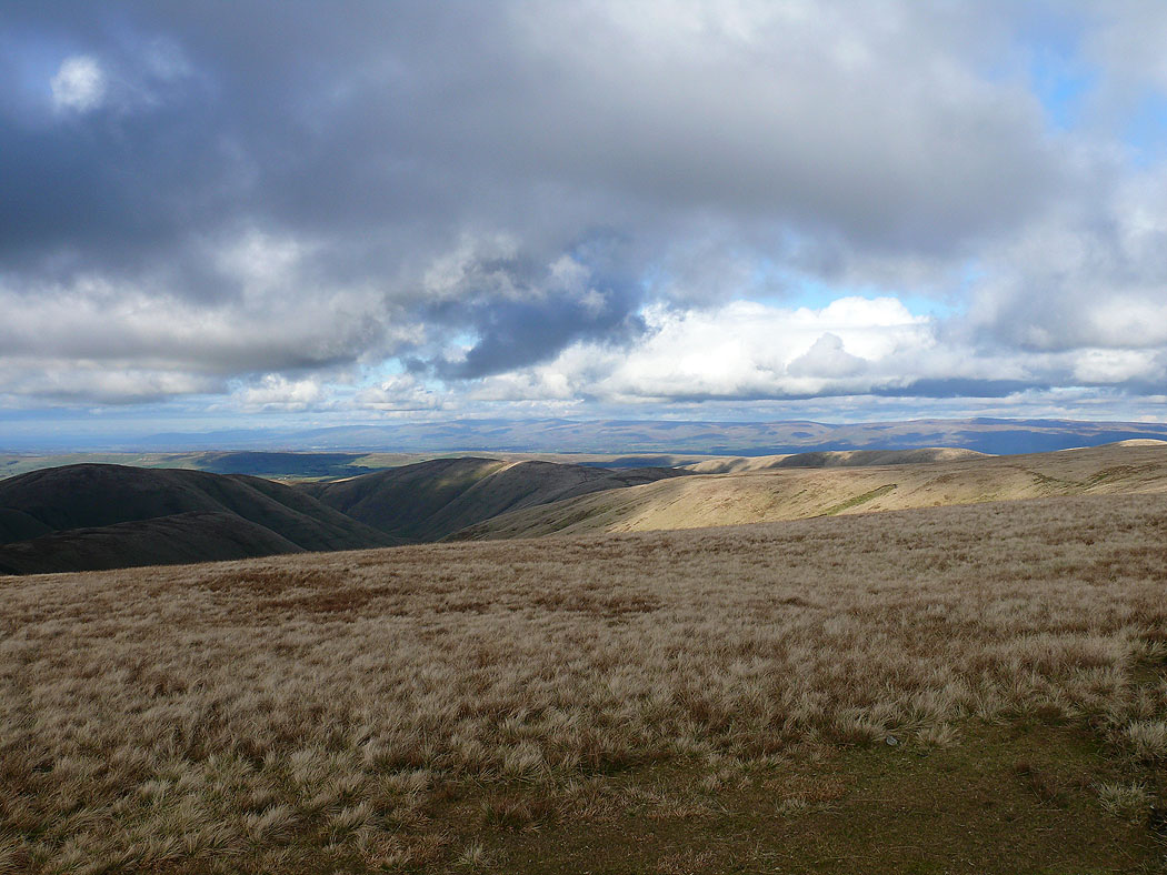
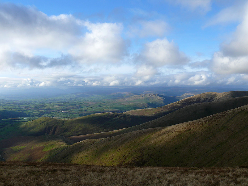
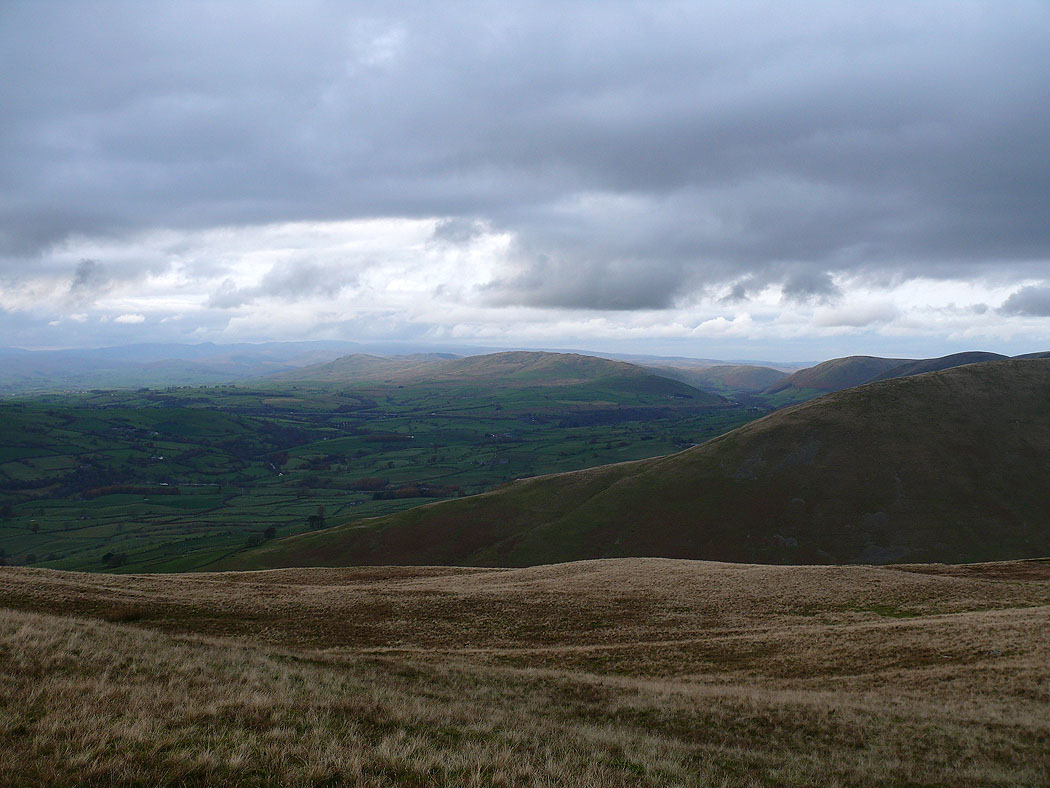
A view towards Lakeland across the Howgill ridges
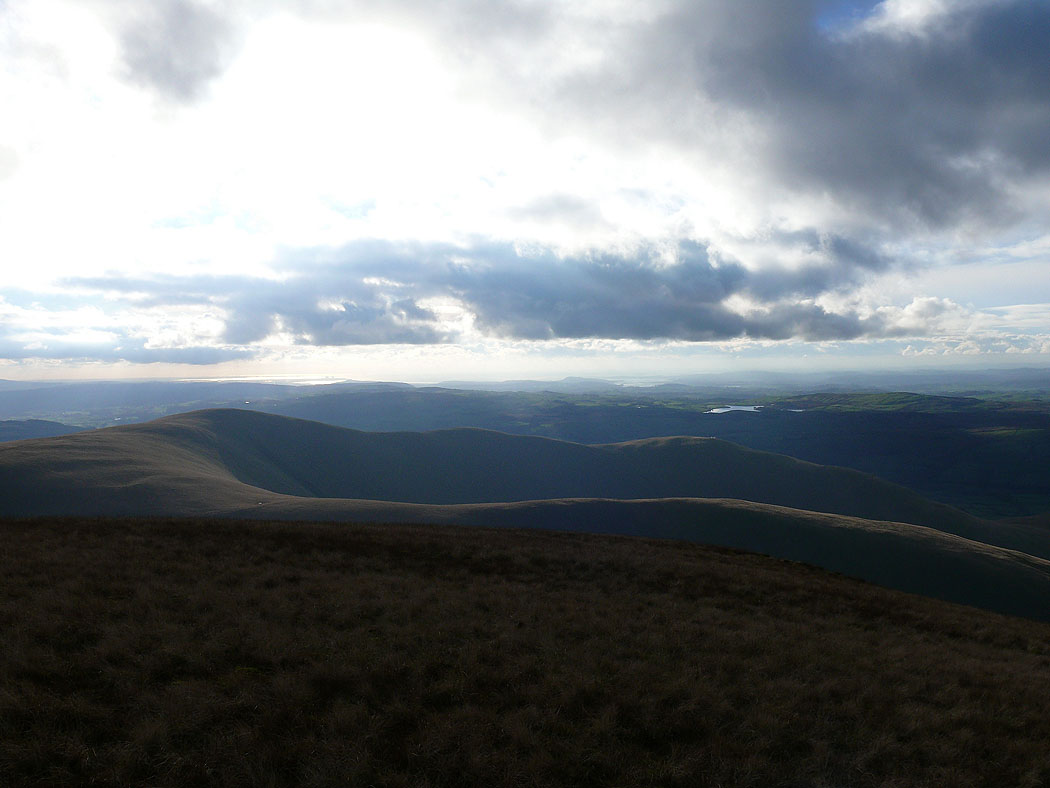
Morecambe Bay in the distance beyond Arant Haw
The view from Arant Haw
The view to Morecambe Bay from Arant Haw
Penyghent, Whernside and Ingleborough in the distance on the left
The last summit of Winder below on the right
Wild Boar Fell and Baugh Fell
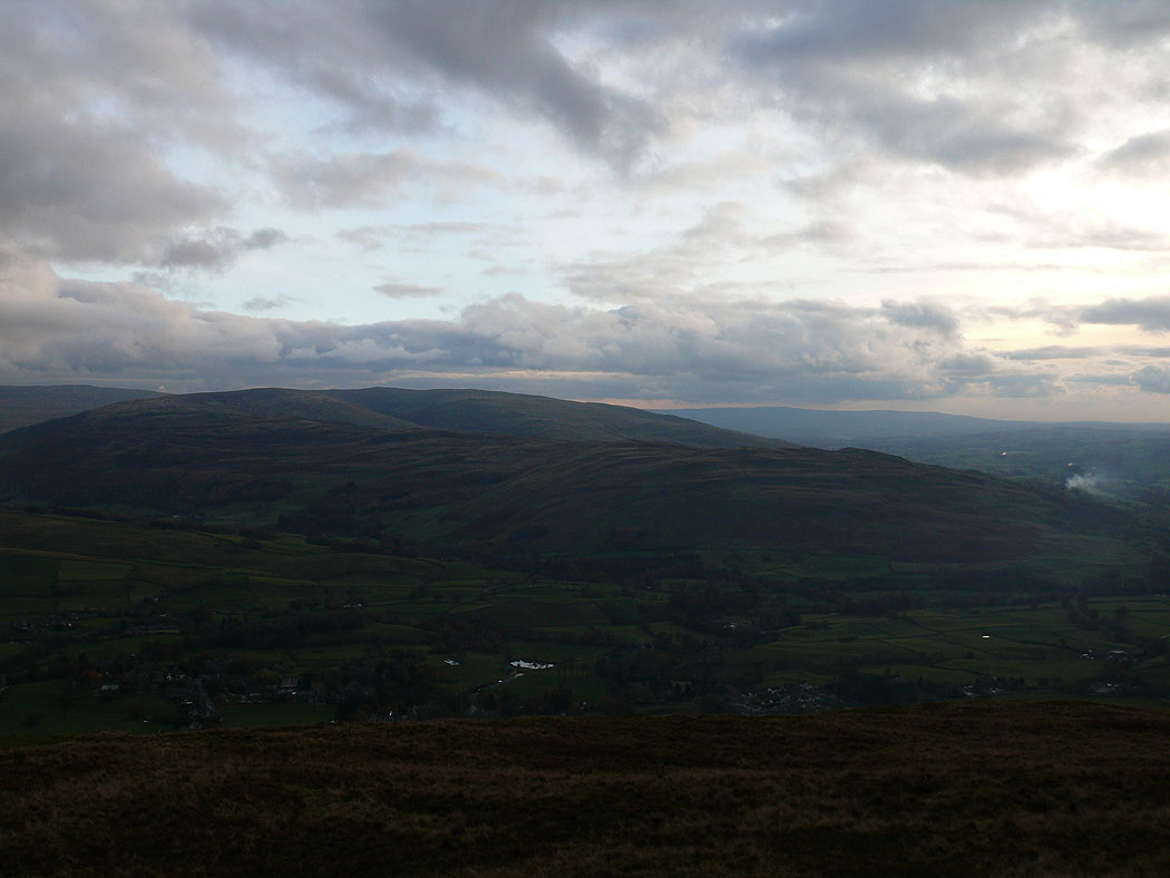
On Winder looking across the Rawthey valley to Middleton Fell
The Lake District fells in the far distance
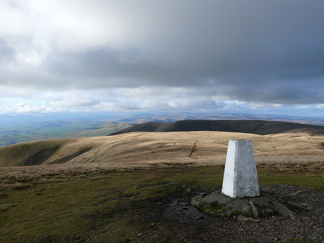
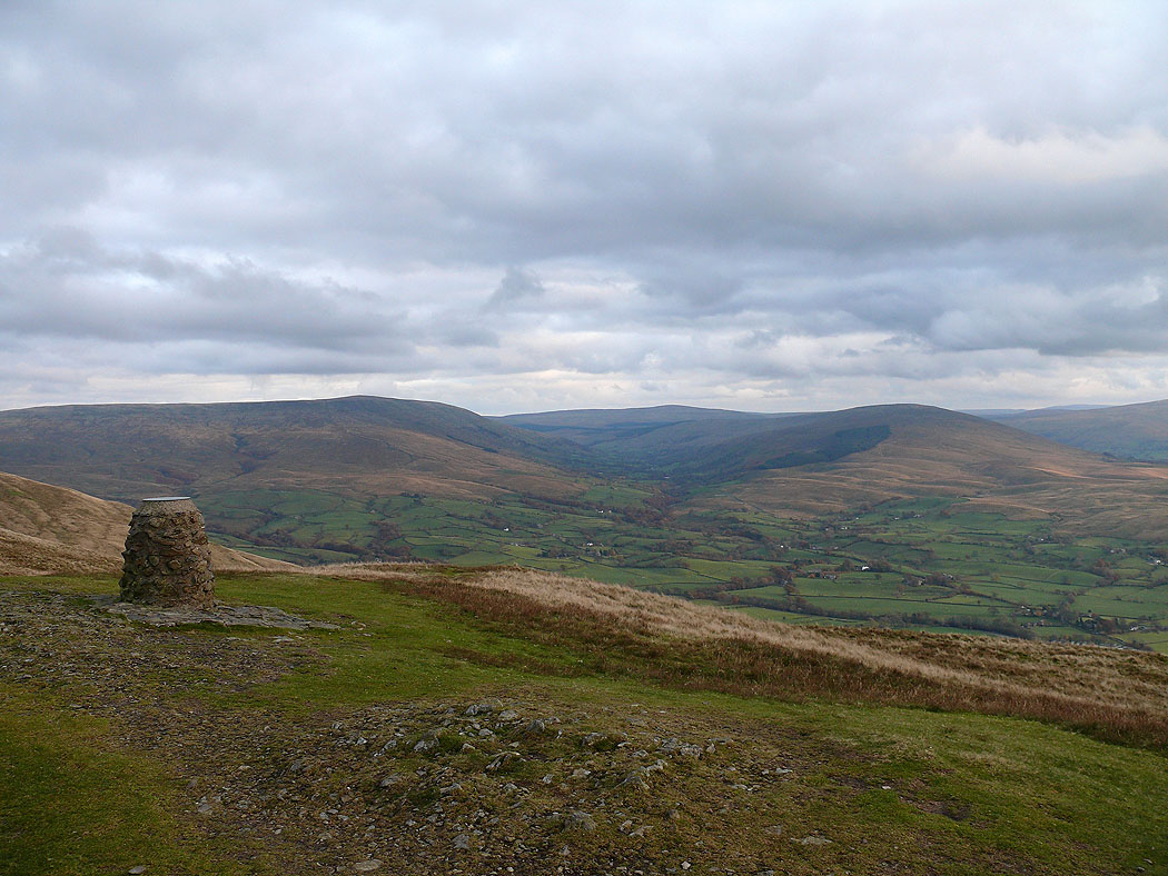
On the summit of Winder with Baugh Fell behind the topograph, with the valley of Garsdale, Great Knoutberry Hill and Aye Gill Pike to the right
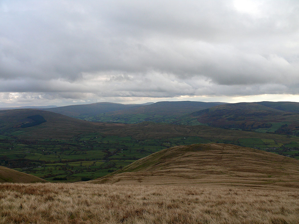
Looking across the Rawthey valley to the fells around Dentdale
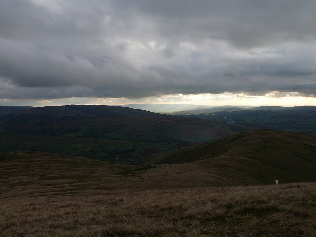
A last shot looking across the Lune valley to Morecambe Bay
