7th November 2020 - Around Kelbrook Moor
Walk Details
Distance walked: 10.7 miles
Total ascent: 1343 ft
OS map used: OL21 - South Pennines
Time taken: 6.5 hrs
Route description: Foulridge-Leeds and Liverpool Canal-Pennine Bridleway-Salterforth Lane-Pennine Bridleway-Earby Road-Pennine Bridleway-Sough-Pennine Bridleway-Heads Lane-Pennine Bridleway-Burnt Hill-Piked Edge-Harwes Farm-Kelbrook Moor-Harwes Farm-Great Edge-Cob Lane-Noyna End Farm-Noyna Hill-Skipton Old Road-Foulridge
With the COVID-19 restrictions meaning that I can only walk locally, and the weather not being up to much, I decided to stick to a walk from home this weekend. The route I came up with took me along the towpath of the Leeds and Liverpool Canal and then up onto the moorland to the east of where I live. There was a real mixture of weather during the day with sunshine in the morning when I was by the canal towpath, then fog and poor visibility when I went up onto the moors in the afternoon. That did create some atmospheric conditions for photography, and when I was on Noyna Hill for the sunset I noticed that the tops of Boulsworth Hill and Pendle Hill were above the fog. There might have been a temperature inversion, which I could have gotten above if I had decided to head higher up.
From where I live in Foulridge I made my way down to the Leeds and Liverpool Canal and followed the towpath north towards Barnoldswick. When I reached Lower Park Marina and Cockshott Bridge I left the towpath for the Pennine Bridleway which took me east up to Salterforth Lane, then south past Salterforth, across Earby Road and to Sough. After crossing the A56 I kept heading east on the Pennine Bridleway across fields to Heads Lane, then up Heads Lane to its end and up Harden Clough to Kitchen Farm. I then took the track above Kitchen Farm and followed it up onto Burnt Hill, then the footpath across to Piked Edge above Black Lane Ends, and then from Piked Edge across to Harwes Farm. I was able to enter access land here to visit the trig point on Kelbrook Moor, after which I took the footpath from Harwes Farm across to Great Edge and down to Cob Lane, where I took the footpath up onto Noyna Hill from Noyna End Farm. After spending a good 45 minutes taking in the view from access land on Noyna Hill I followed the footpath from Noyna Hill down to Skipton Old Road for a return to Foulridge and home.
Route map
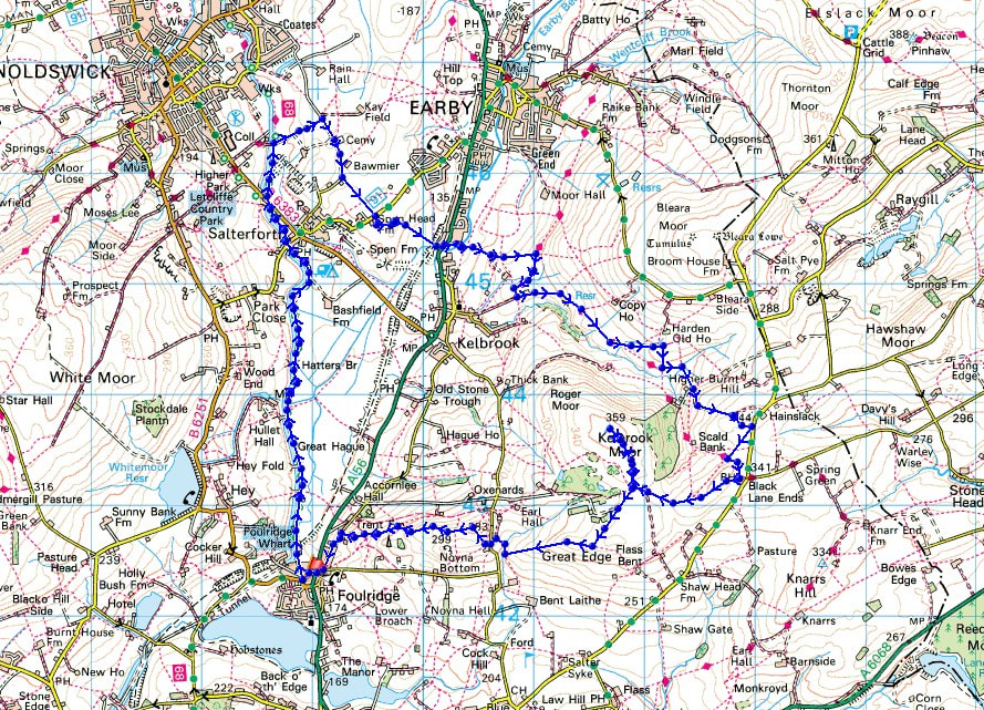
© Crown copyright. All rights reserved. License number PU 100034184.
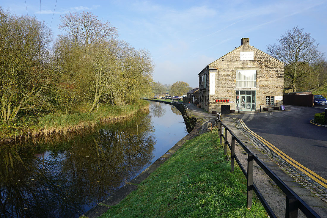
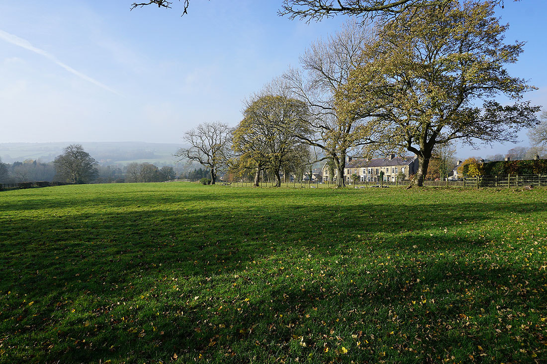
By the Leeds and Liverpool Canal at Foulridge Wharf..
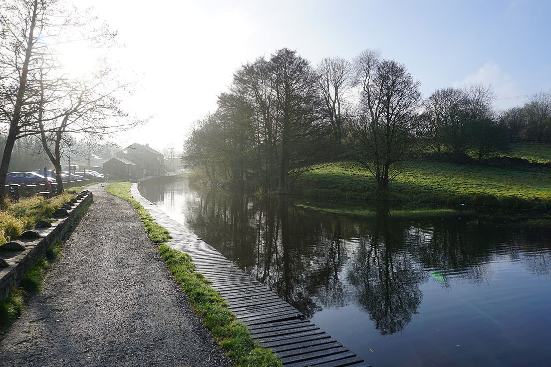
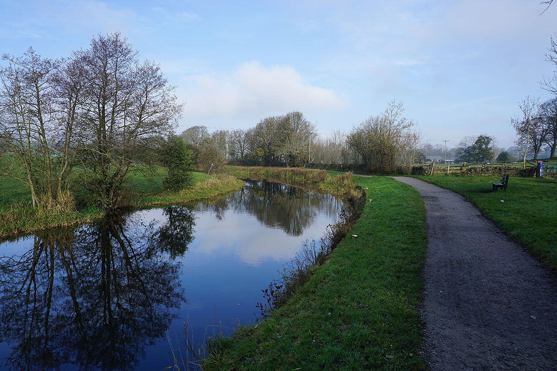
Following the towpath north
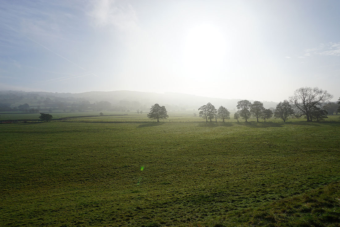
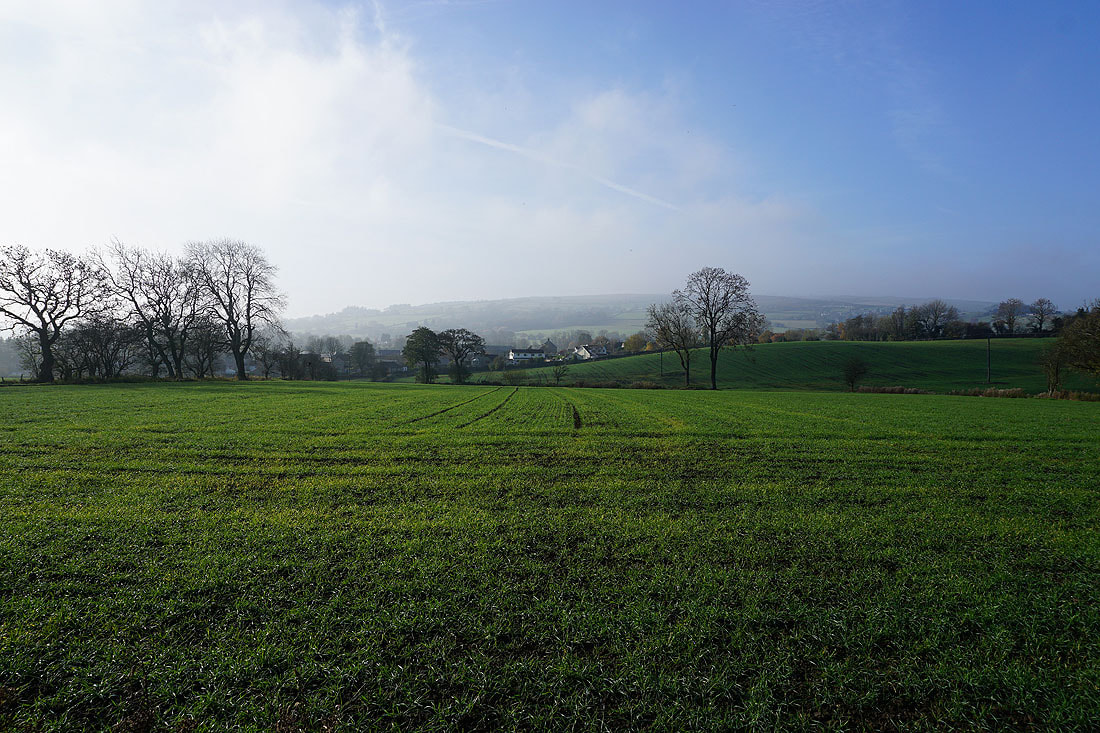
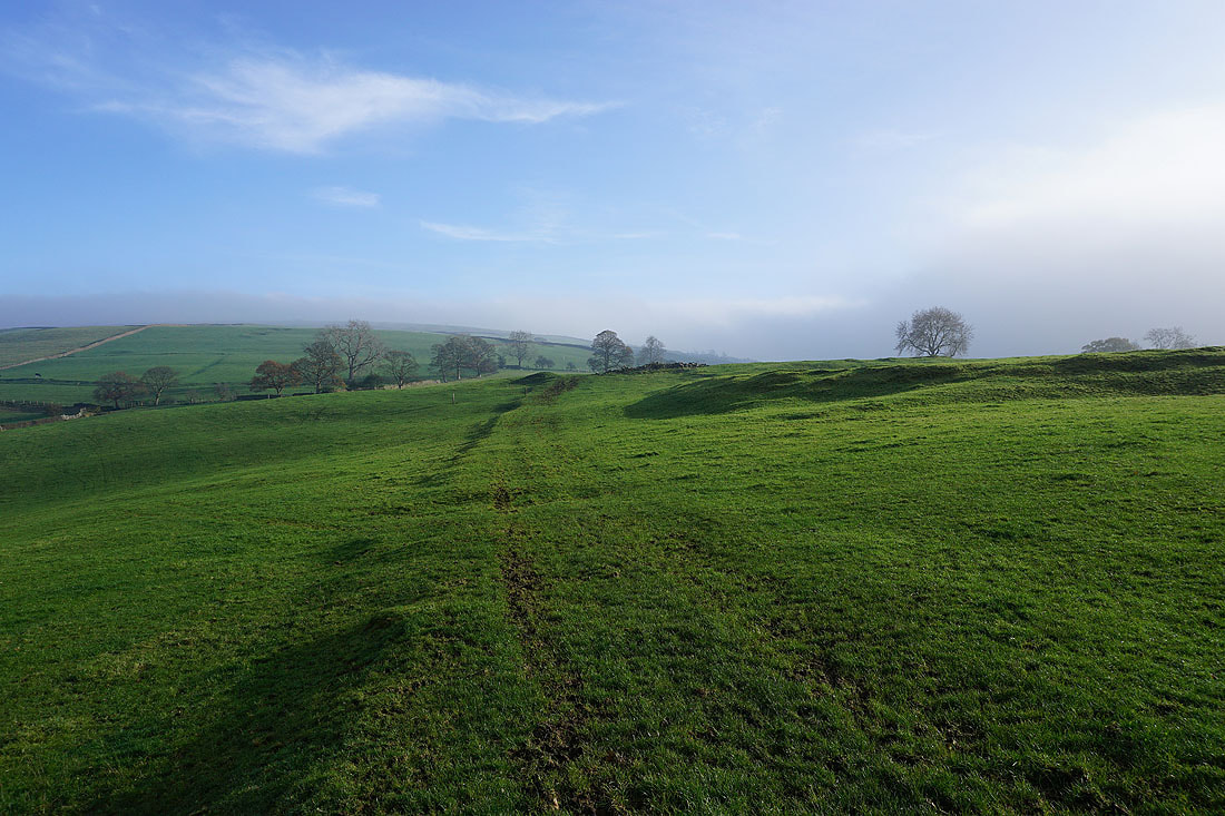
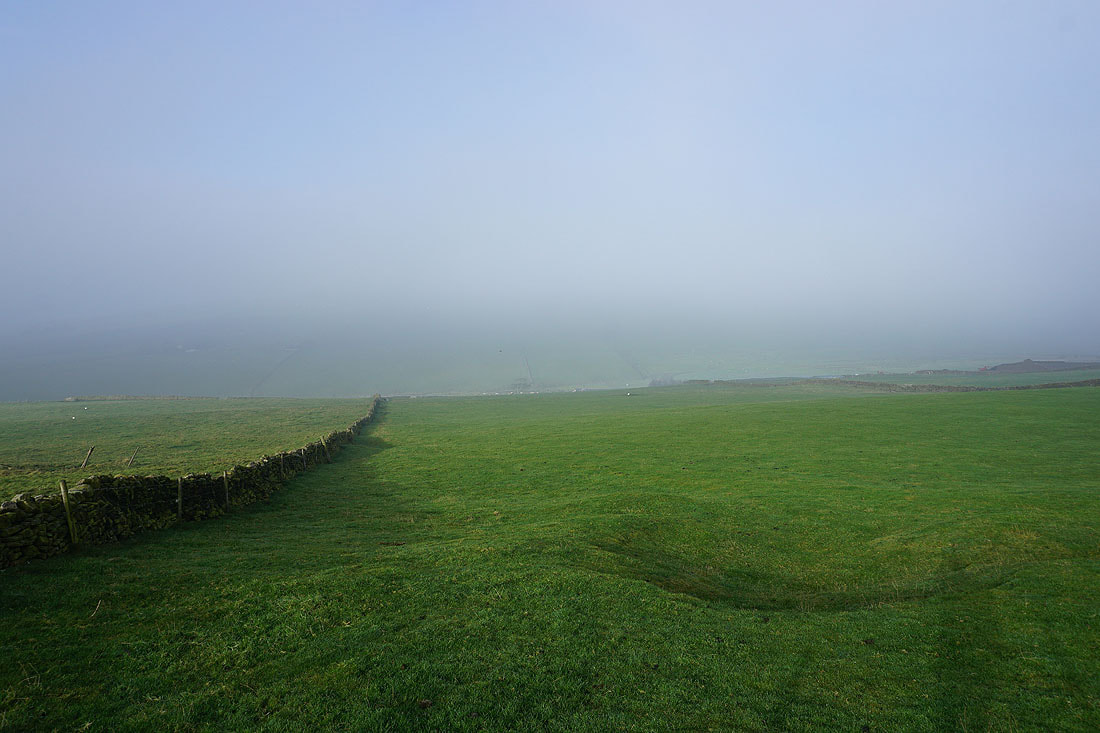
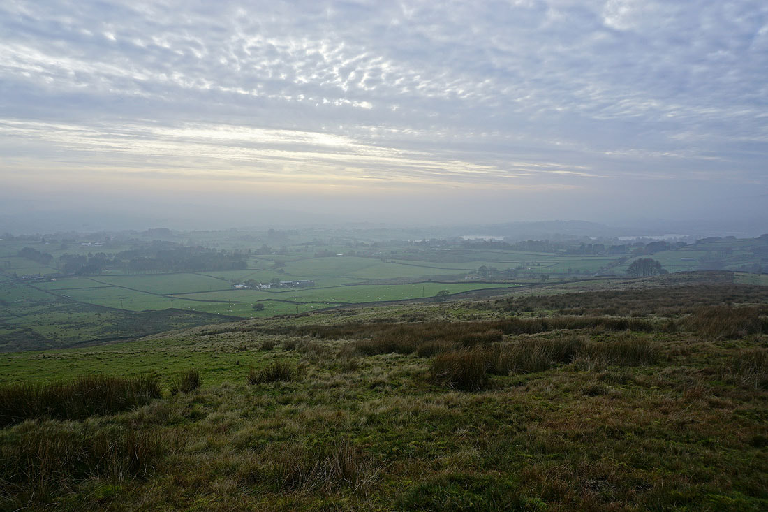
Looking east to misty moors
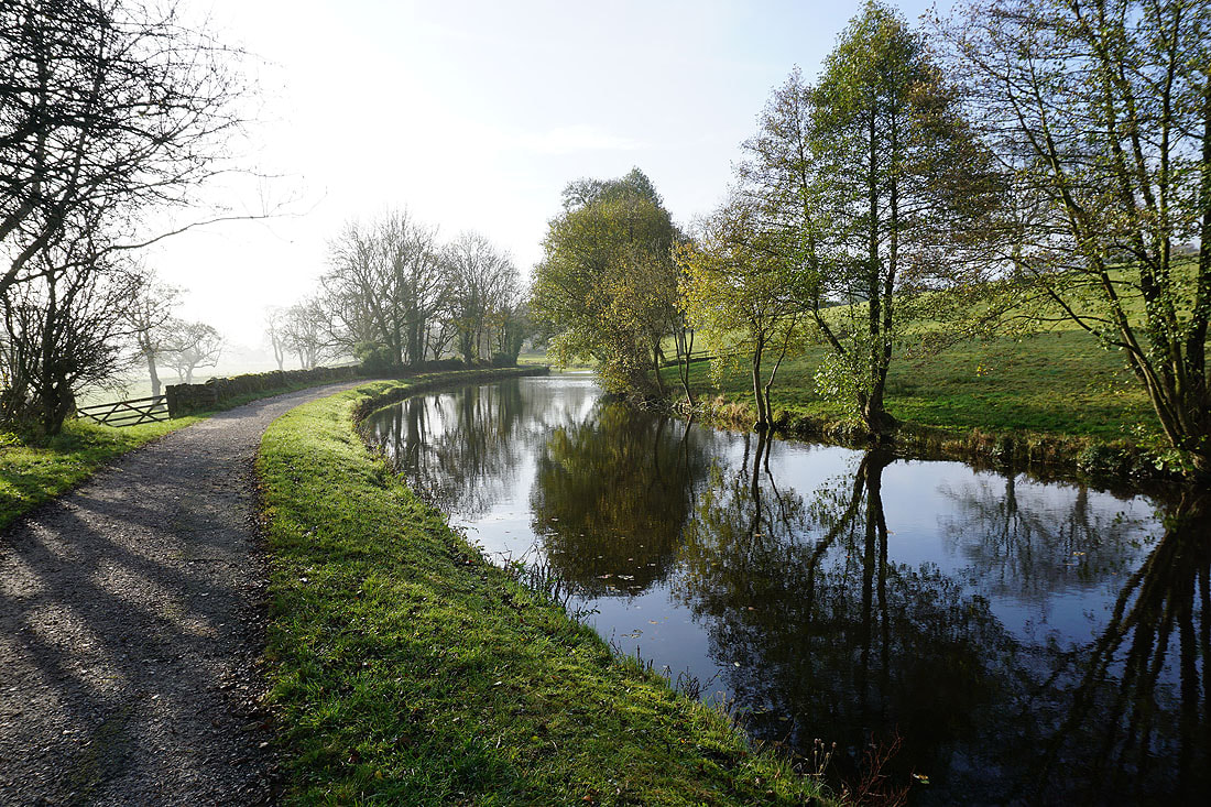
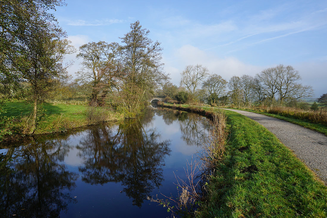
There are some nice reflections in the canal where the wind is light..
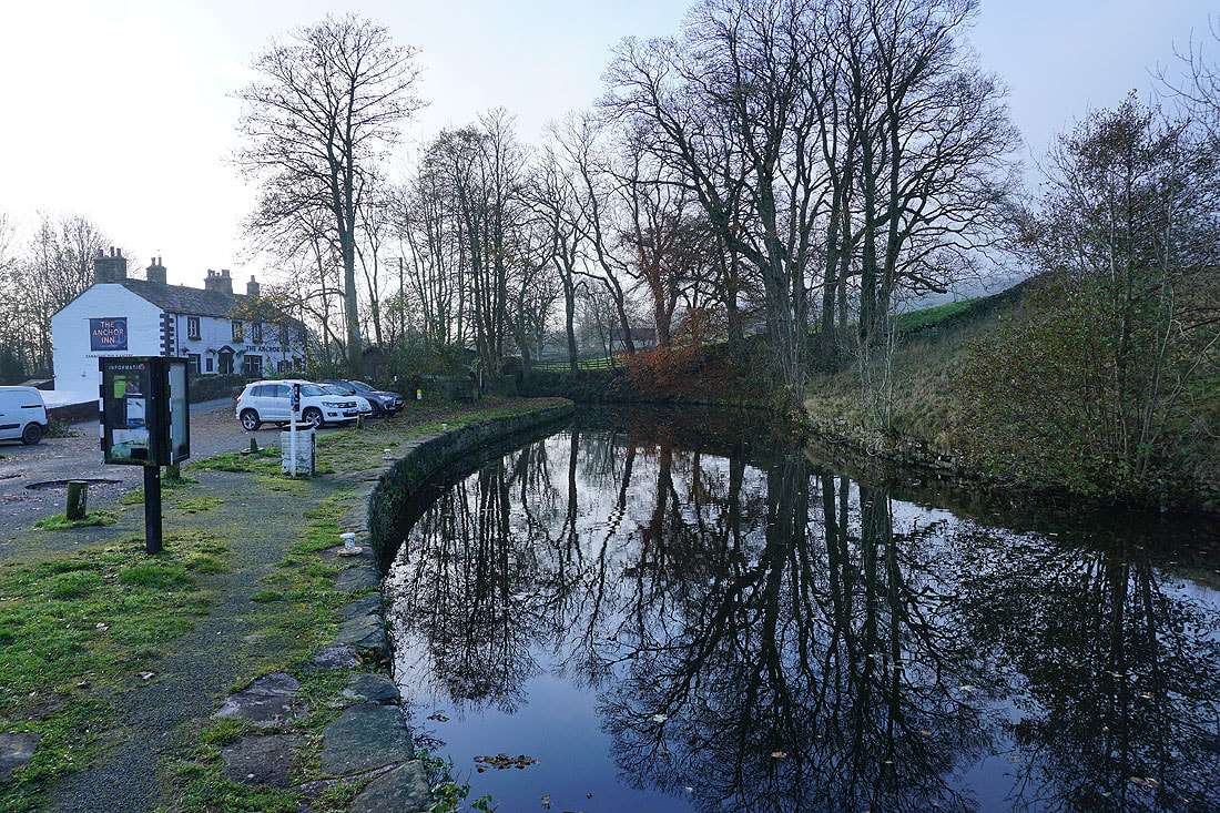
At the Anchor Inn in Salterforth
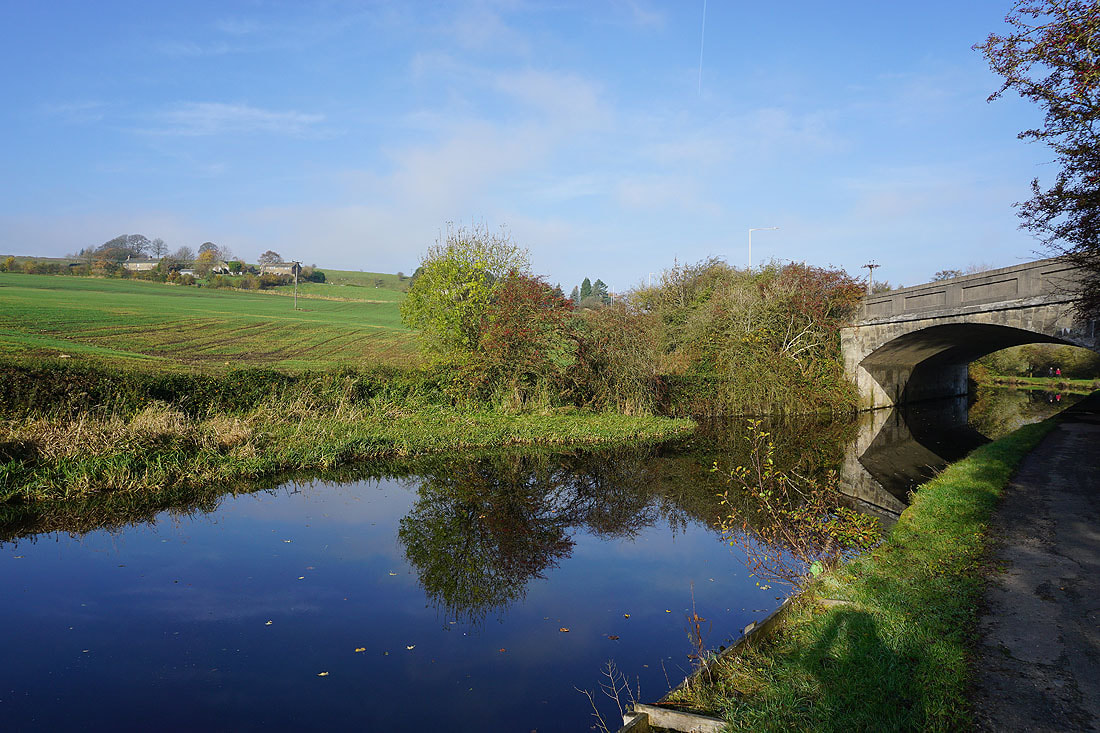
Under Park Bridge, carrying the road to Barnoldswick
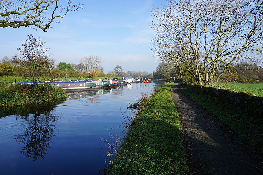
Lower Park Marina
I leave the canal towpath by taking the Pennine Bridleway up to Salterforth Lane
Looking back to the canal with the slopes of Weets Hill beyond
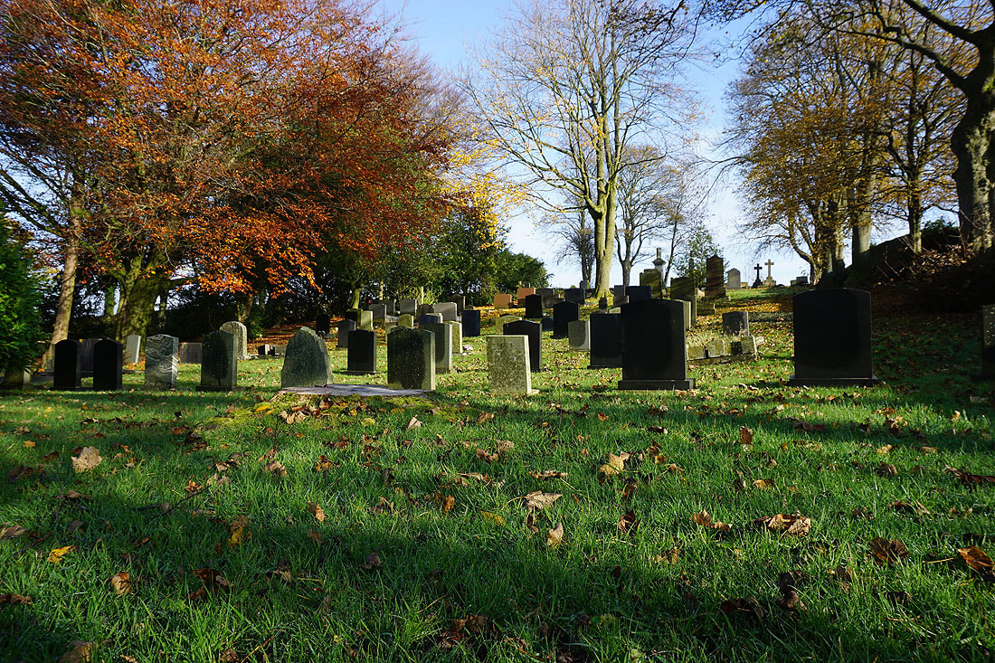
Salterforth Cemetery
|
|
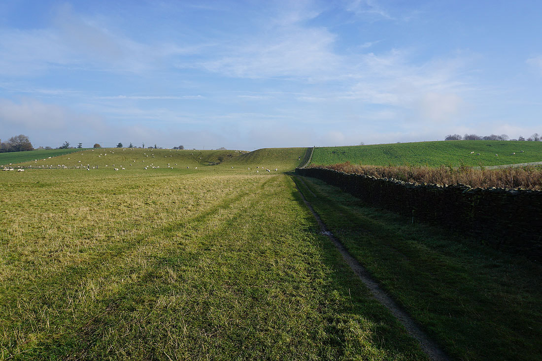
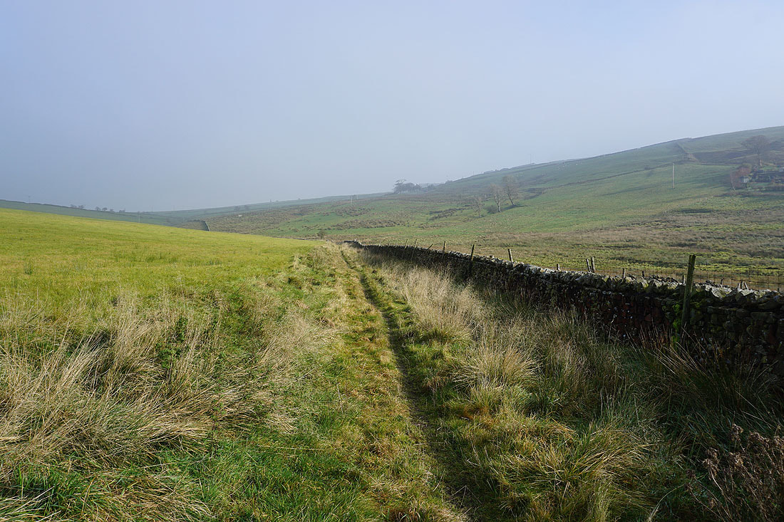
On the Pennine Bridleway to and past Salterforth....
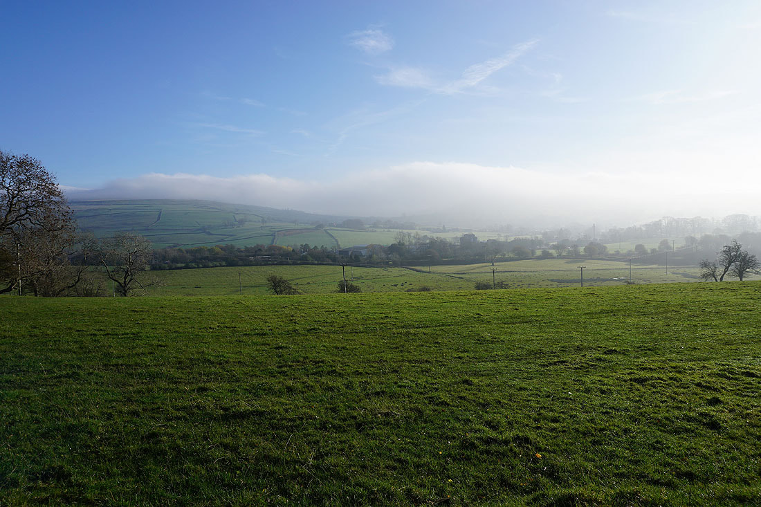
Fog covered moors ahead from the Pennine Bridleway to Sough
That embankment with the small bridge carried the former Colne to Skipton railway line
Leaving Sough on the Pennine Bridleway..
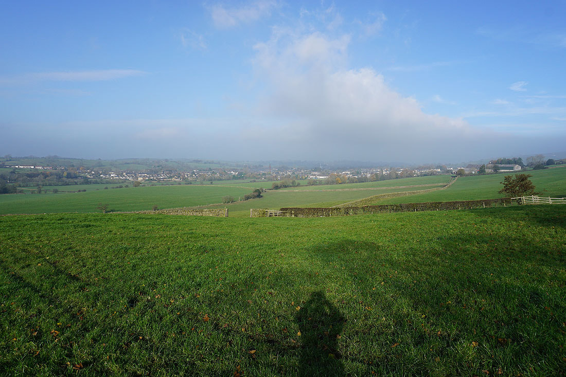
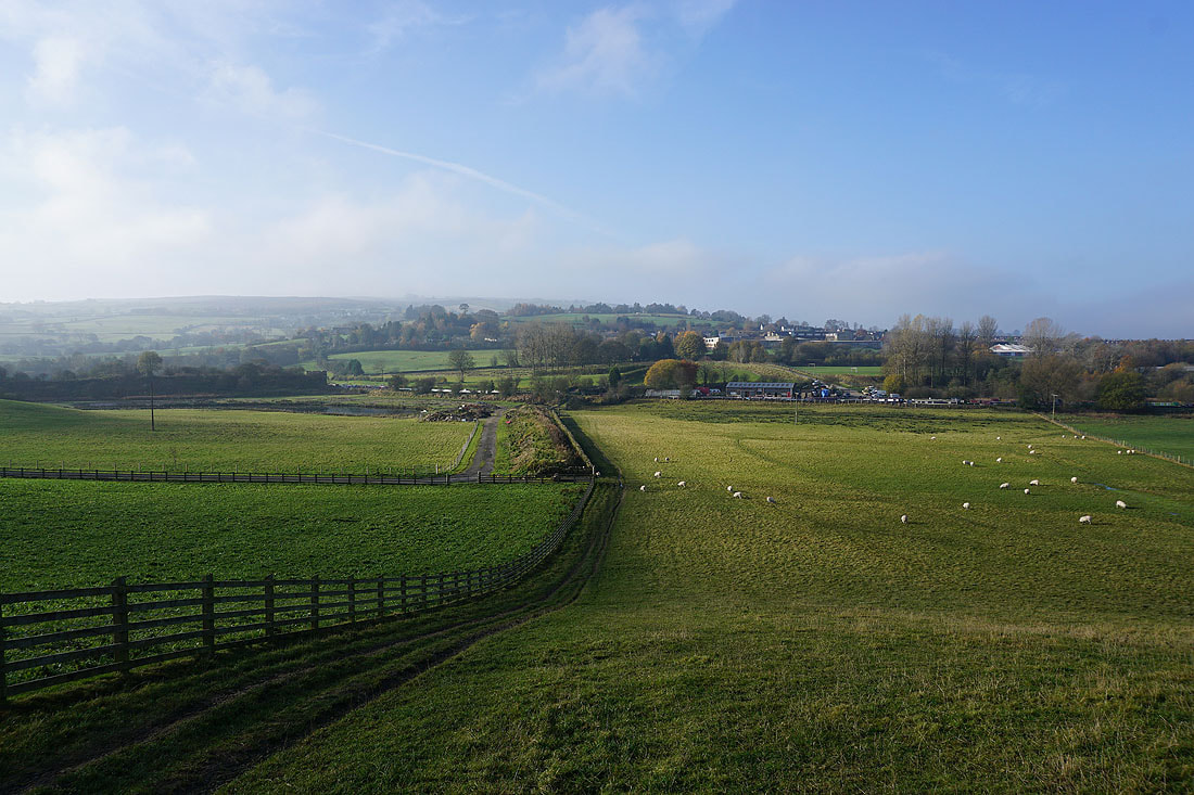
Sough and Earby
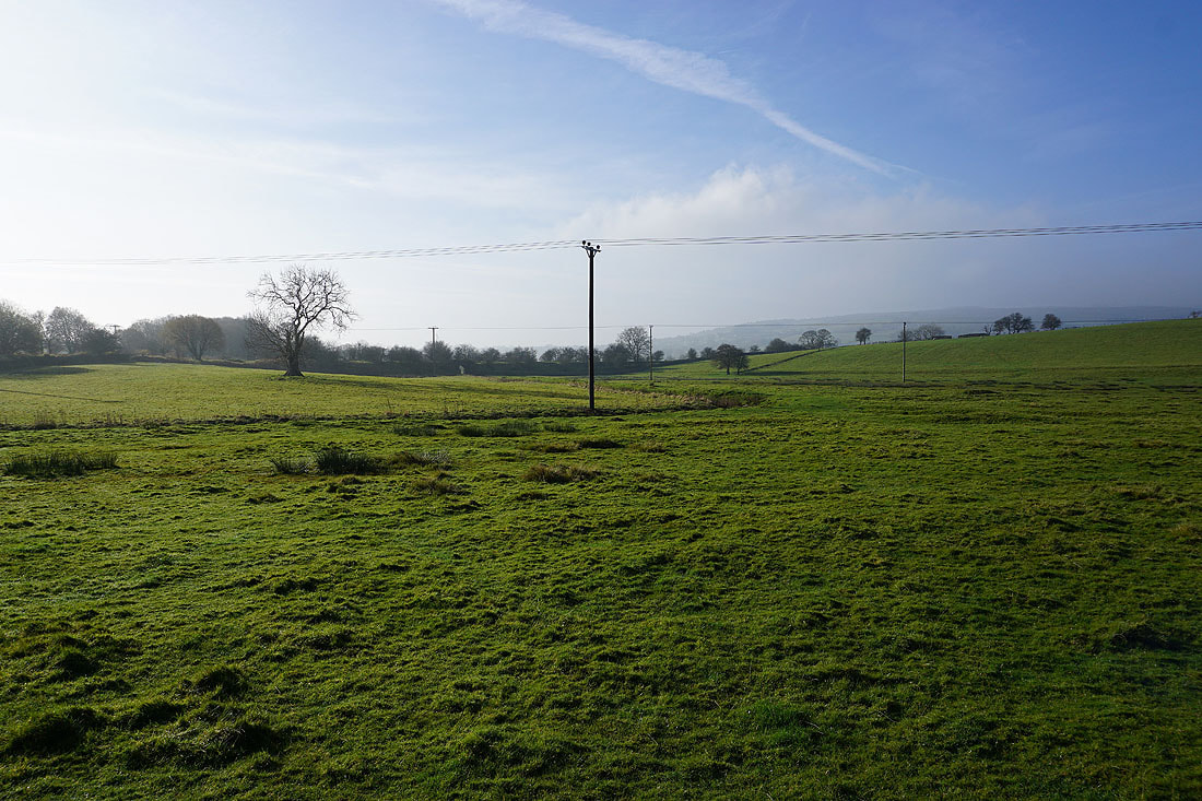
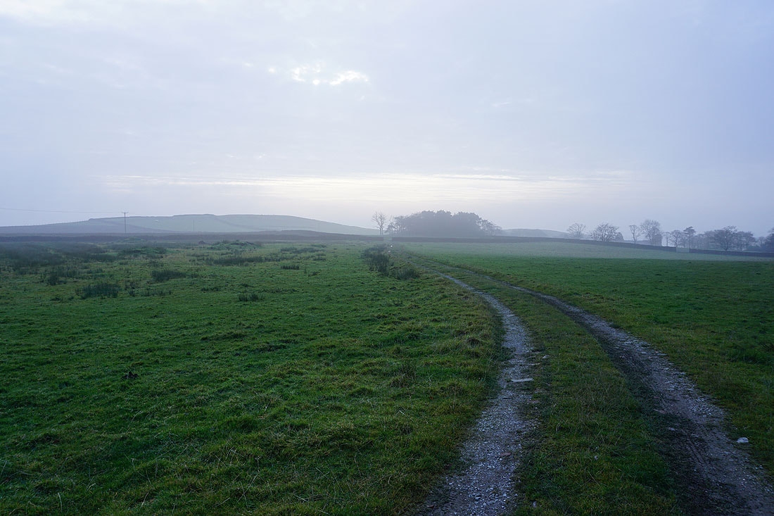
The Pennine Bridleway crosses fields to Heads Lane..
..then heads up into the fog covered moors
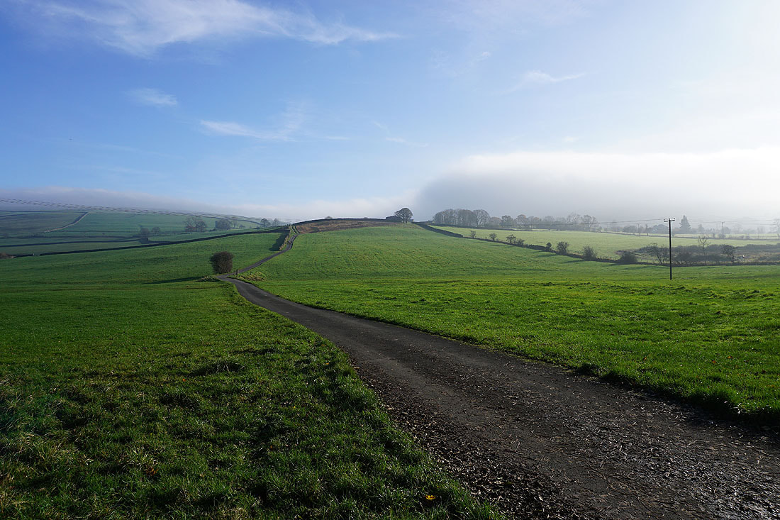
Heading down into Harden Clough..
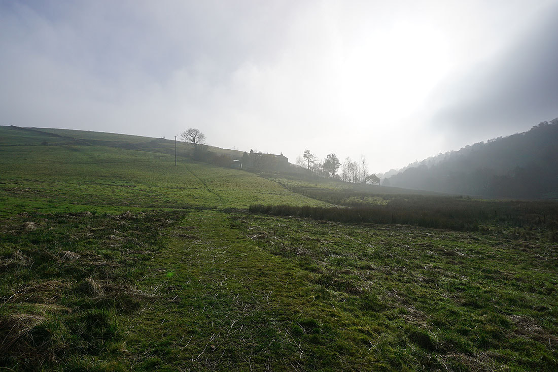
Heading up to Kitchen Farm
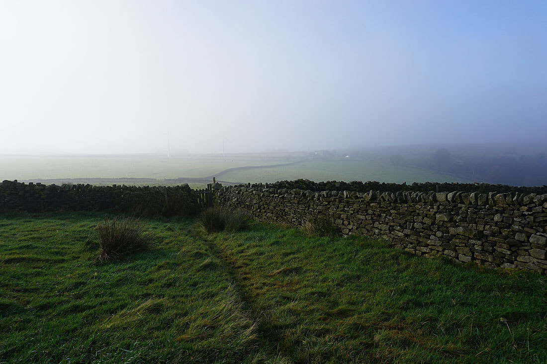
On Burnt Hill with Kelbrook Wood and the steep slopes of Kelbrook Moor on the other side of Harden Clough
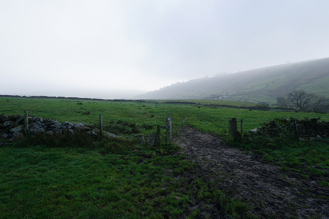
A fog covered Bleara Moor to the north
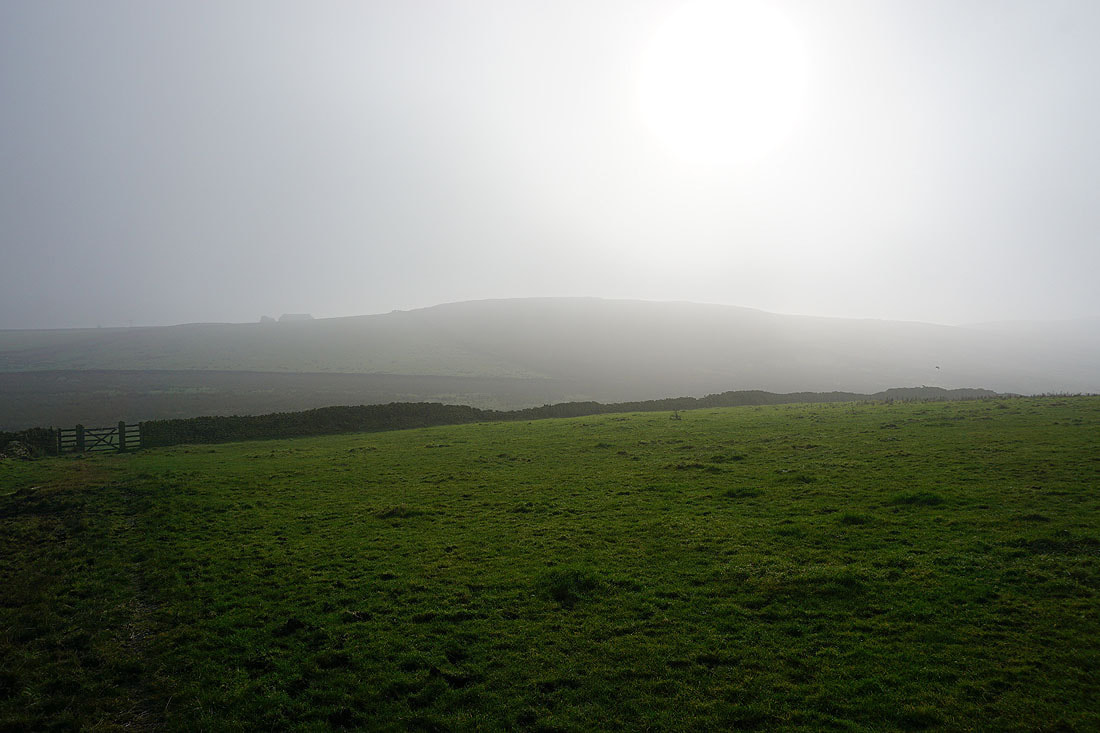
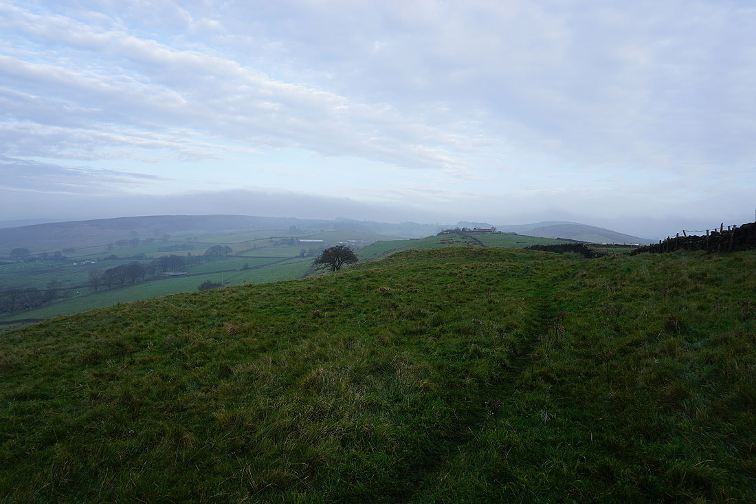
A misty Piked Edge ahead
The gloom makes for a moody photo of Black Lane Ends Tavern
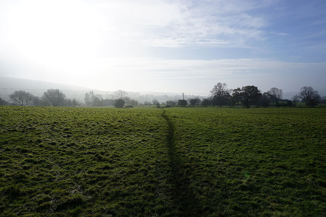
The sun tries to break through the fog
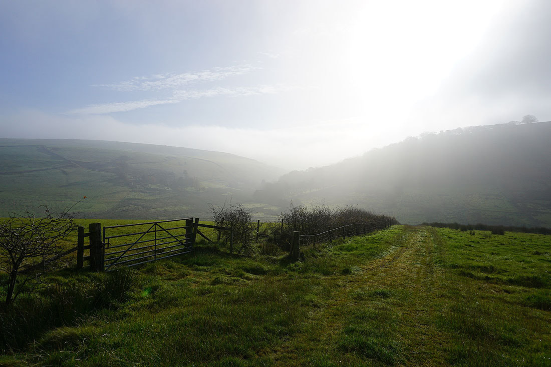
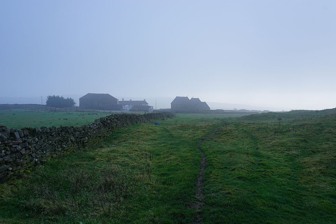
Heading for Harwes Farm and Kelbrook Moor
The path to Great Edge from Harwes Farm, but before I take it..
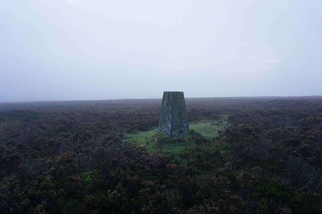
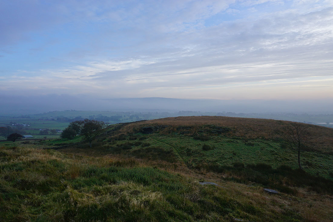
..a visit to the trig point on Kelbrook Moor. Not much of a view.
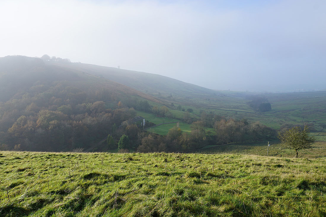
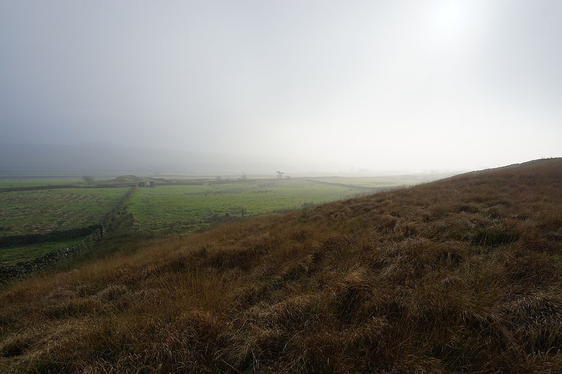
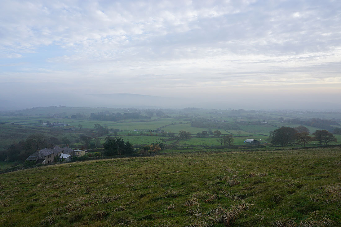
A fog covered Kelbrook Moor from Great Edge
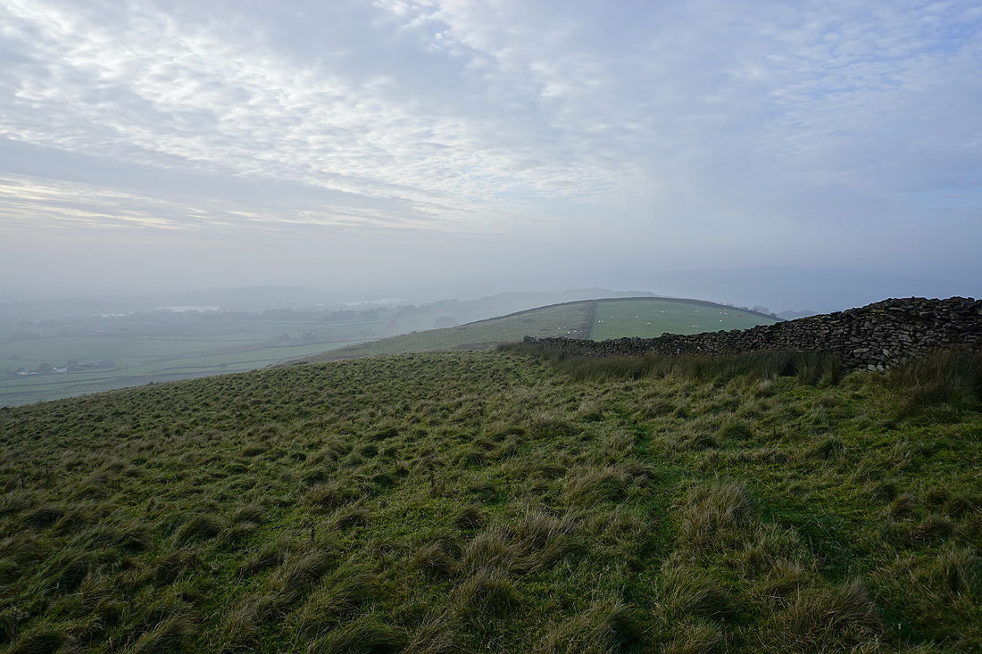
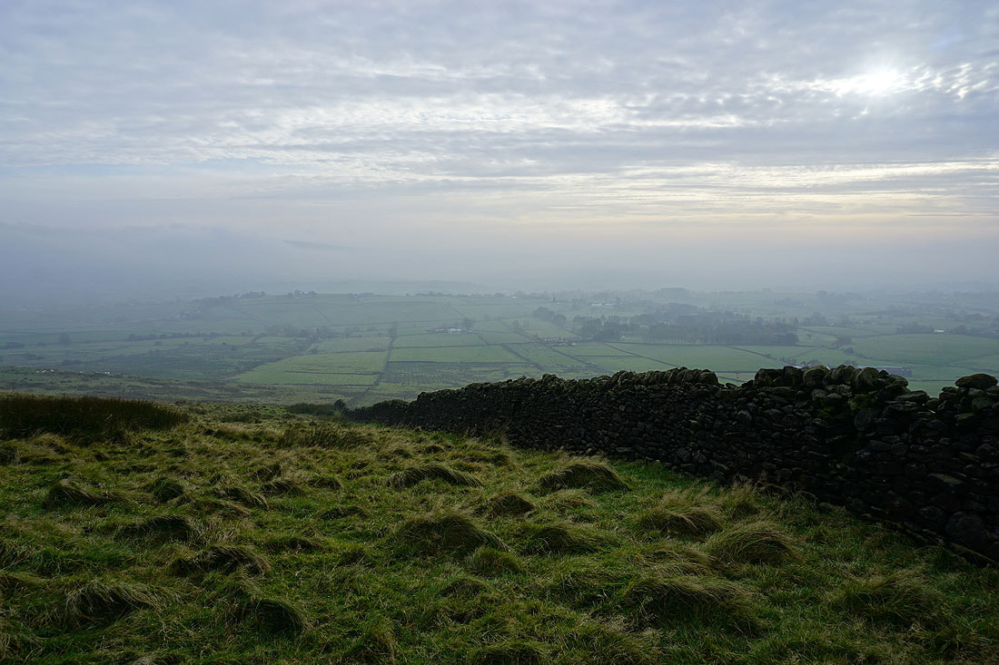
The mist creates atmospheric views from Great Edge of the surrounding countryside of the Forest of Trawden and the Forest of Pendle...
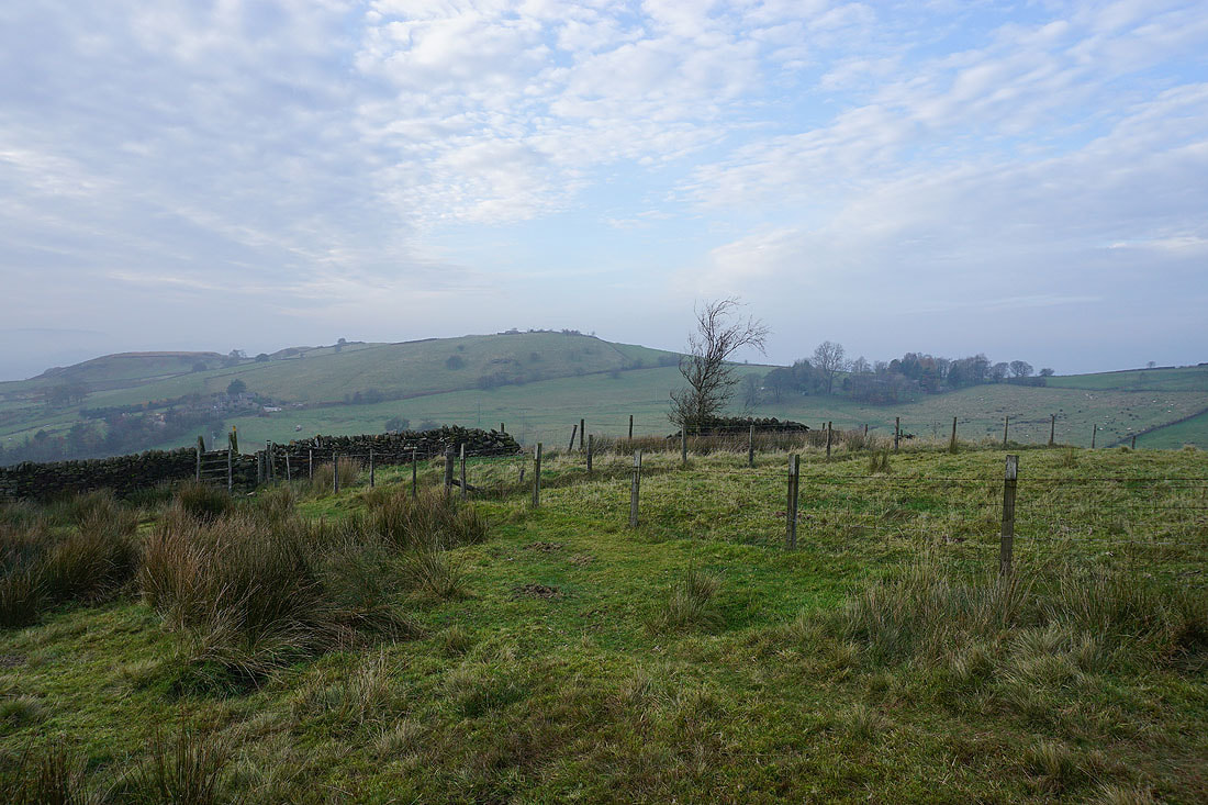
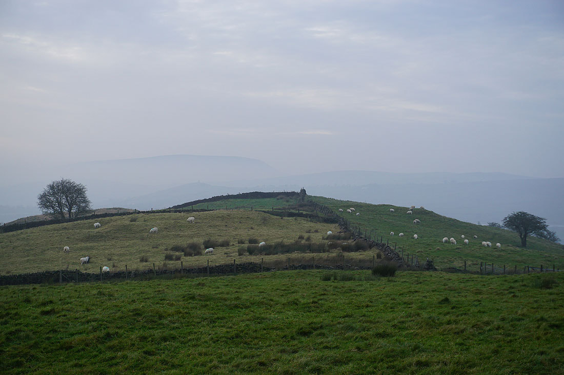
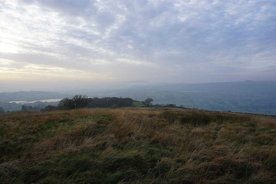
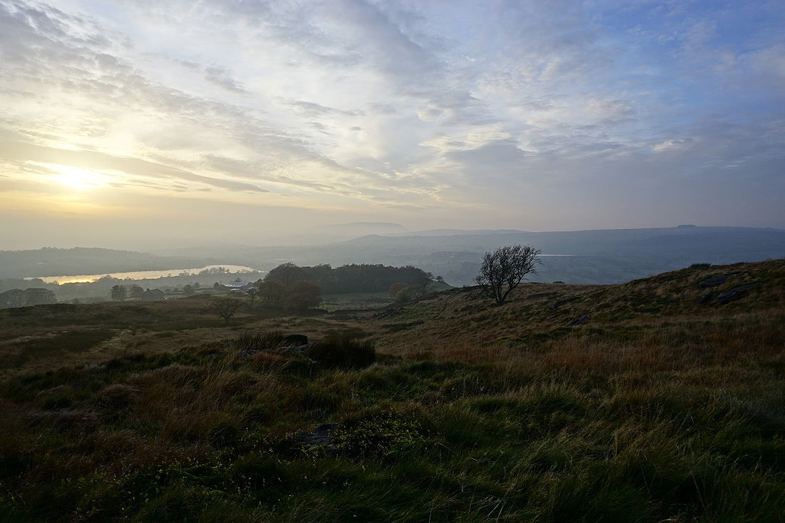
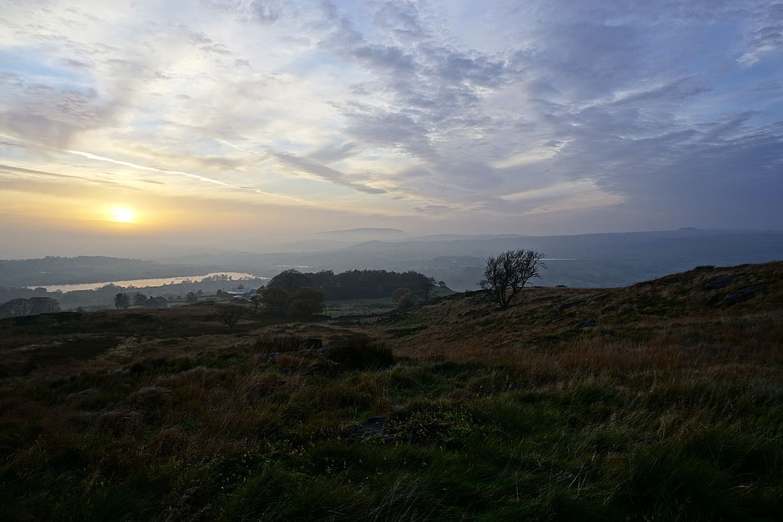
Noyna Hill
The top of Boulsworth Hill is above the mist as I head up Noyna Hill from Noyna End Farm
As is Pendle Hill, if I zoom in across the top of Noyna Hill..
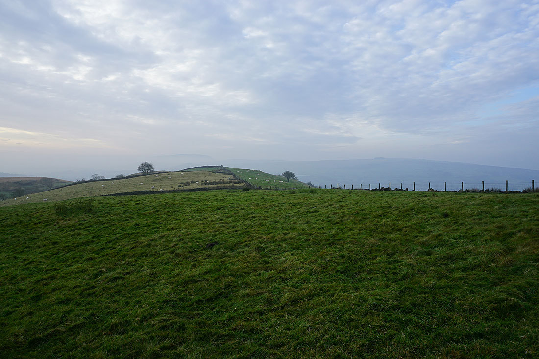
Kelbrook Moor and Great Edge from Noyna Hill
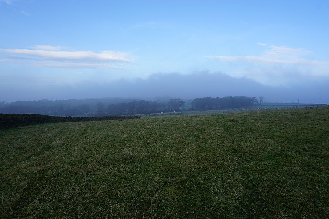
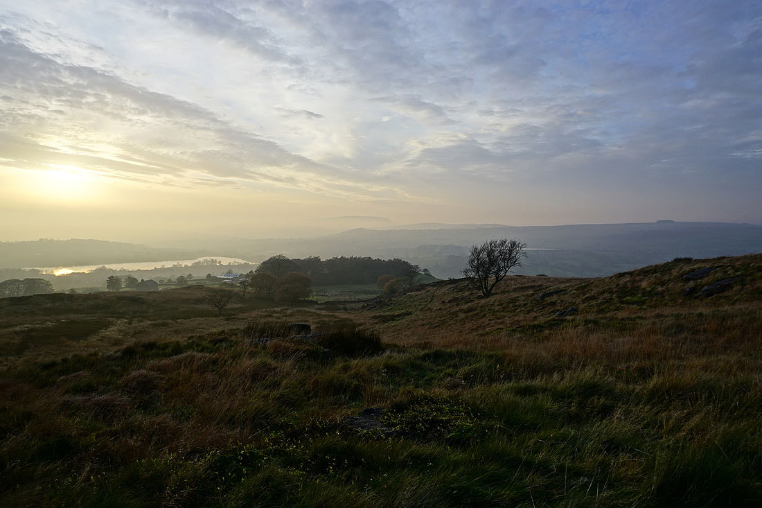
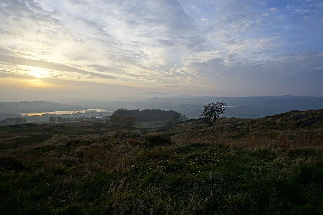
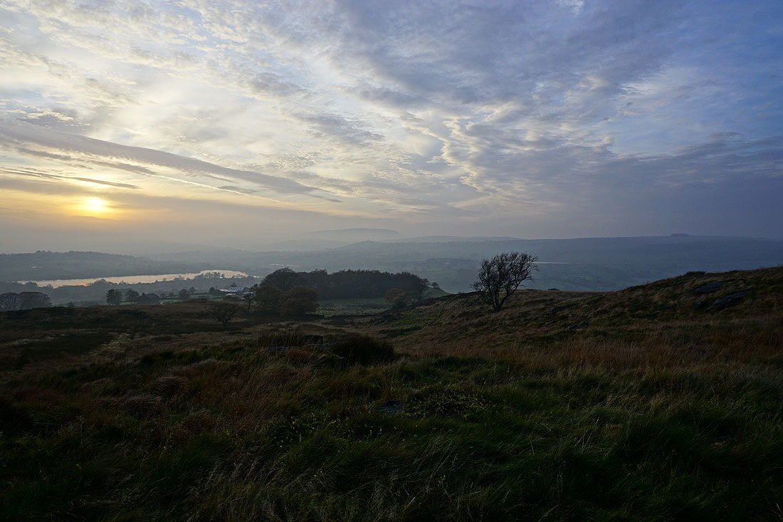
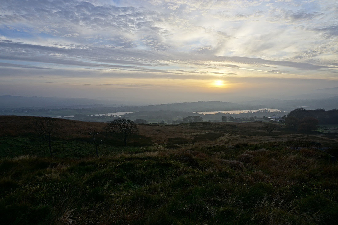
On access land on Noyna Hill, and the view west to Foulridge Lower Reservoir and the top of Pendle Hill above the mist..
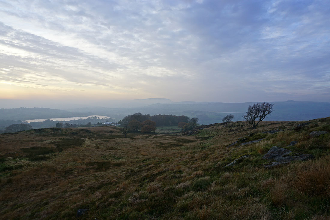
The top of Boulsworth Hill rises above the mist to the south
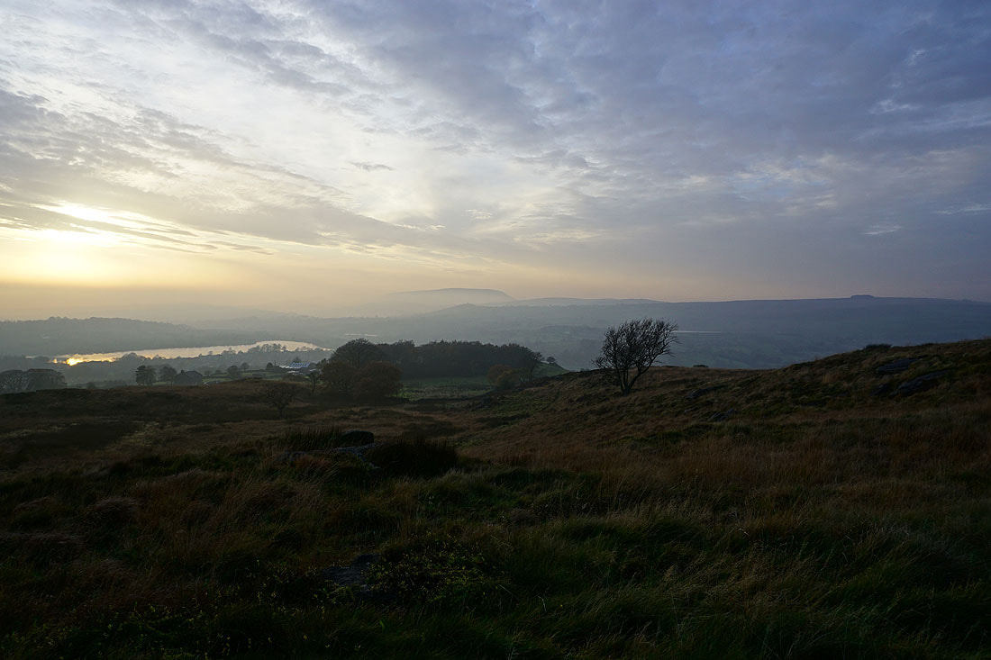
I spent 45 minutes here watching the sun set through gaps in the cloud. It was really atmospheric with the low lying mist and the high level clouds.......
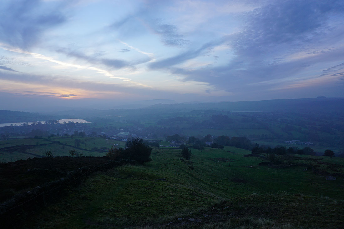
Heading down to Foulridge and home in the gathering gloom