7th November 2021 - Nab Hill
Walk Details
Distance walked: 12.1 miles
Total ascent: 1766 ft
OS map used: OL21 - South Pennines
Time taken: 6 hrs
Route description: Penistone Hill Country Park-Dimples Lane-Bronte Way-Old Oxenhope Farm-Old Oxenhope Lane-Marsh Lane-Bronte Way-Harry Lane-A6033-Dark Lane-Bentley Hey-Black Moor Road-Leeming-Sykes Lane-Leeming Reservoir-Bronte Way-Hambleton Lane-Nab Hill-Nab Water Lane-Nab Rough-Nab Water Lane-Greenwood's Allotment-Oxenhope Moor-A6033-Stairs Lane-Oxenhope Stoop Hill-Harbour Lodge-Bronte Bridge-Millennium Way-Penistone Hill Country Park
With some very changeable weather forecast for this weekend I picked the best of the two days and planned a walk close to home, which meant driving the short distance across the moors to the Worth Valley for a walk on the Bronte moors. Parking up at Penistone Hill Country Park is something that I've done quite often during the past few years, so working out a route that includes walking along new paths isn't too easy, and this time I only managed to because I decided to extend the walk after arriving on Nab Hill earlier than I thought I would. The new bit was the stretch of moorland from the top of Stairs Lane to Oxenhope Stoop Hill. Seeing its name on the map, "The Waste", conjures up images of a vast boggy morass, but it wasn't that bad. On what was a chilly and windy day, it brightened up after a cloudy start to give some nice spells of autumnal sunshine.
From Penistone Hill Country Park I made my way up to the trig point, down to the eastern end of the hill and to Dimples Lane, which I crossed to take the Bronte Way down a track, then south to Old Oxenhope Farm, down Old Oxenhope Lane, left along Marsh Lane, and then right, down Bents Lane to and across the Keighley and Worth Valley Railway line and up to the A6033. After crossing the road I walked up Dark Lane, and then up a footpath across the hillside of Bentley Hey to Black Moor Road. I then made my way south along Black Moor Road before taking a footpath on the right down through a disused quarry and across Height Lane to Leeming and Denholme Road, then turned right, walked down Denholme Road and took the footpath down along Sykes Lane on the left. This took me past some cottages and to the footpath down to and past the eastern end of Leeming Reservoir, where I picked up the Bronte Way. I followed the Bronte Way uphill until I reached the track of Hambleton Lane, which took me south until I reached a gate on the right and the footpath west to the cairns on the northern edge of Nab Hill, where I stopped for lunch. After this break I took the path west down to Nab Water Lane. I briefly walked down the road then took the footpath on the right across Nab Rough and down to Nab Water Lane, which I crossed and took the footpath opposite across Greenwood's Allotment. This soon met a catchwater drain, and I followed the path by this across the moor to the A6033, and carried on following it after crossing the road to reach the track of Stairs Lane. I then made my way south to the top of Stairs Lane, and went through a gate in the wall on the right and onto access land, then followed a path northwest across the moor to Oxenhope Stoop Hill. From Oxenhope Stoop Hill I picked up the public footpath north down to Harbour Hill, then made my way along the path to Harbour Lodge and down to Bronte Bridge, where I picked the path and track east along the side of Haworth Moor, and the Millennium Way up to Moor Side Lane to return to Penistone Hill Country Park.
Route map
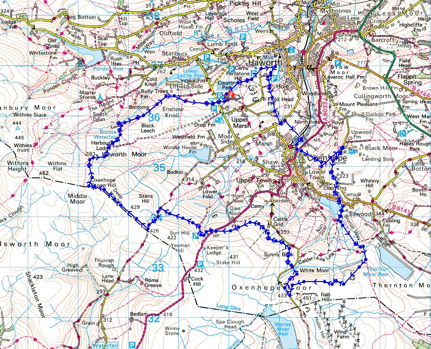
© Crown copyright. All rights reserved. License number PU 100034184.
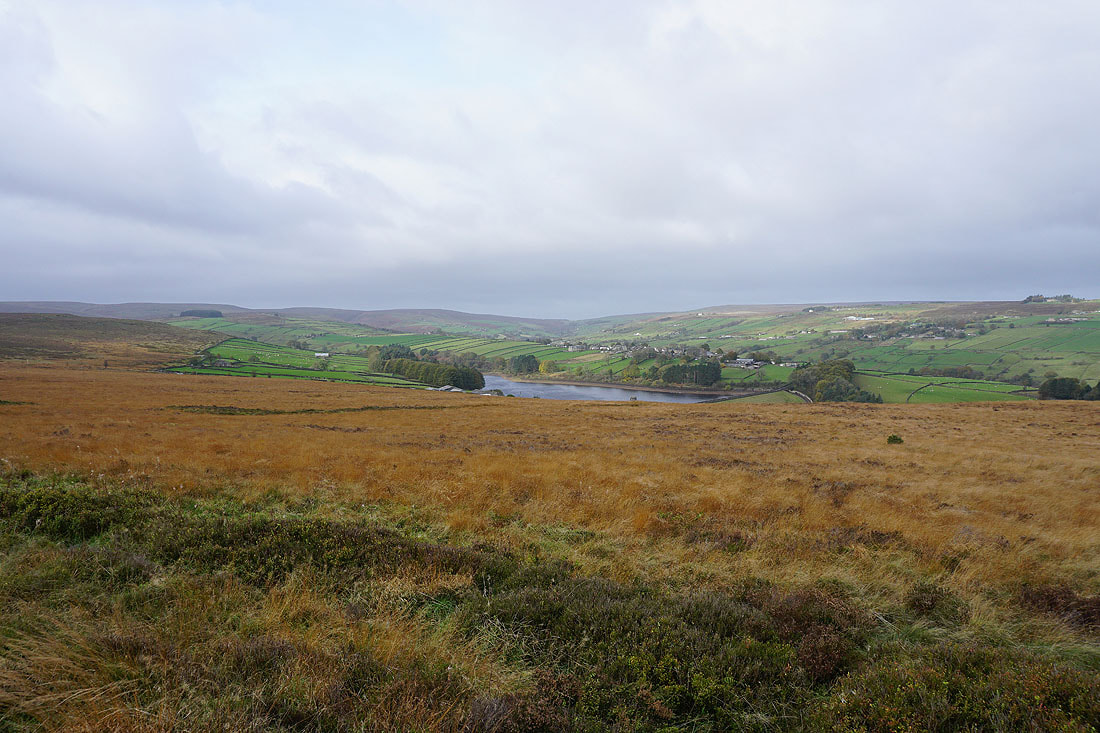
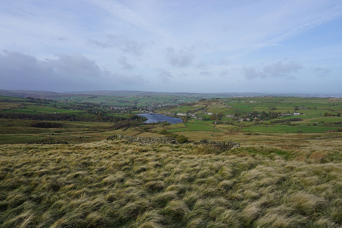
The Worth Valley, Lower Laithe Reservoir and Stanbury from Penistone Hill
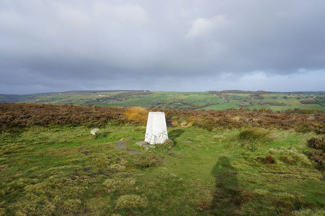
At the trig point on Penistone Hill..
I leave Penistone Hill on the Bronte Way down to Dimples Lane
On the Bronte Way above Haworth
Looking across Haworth
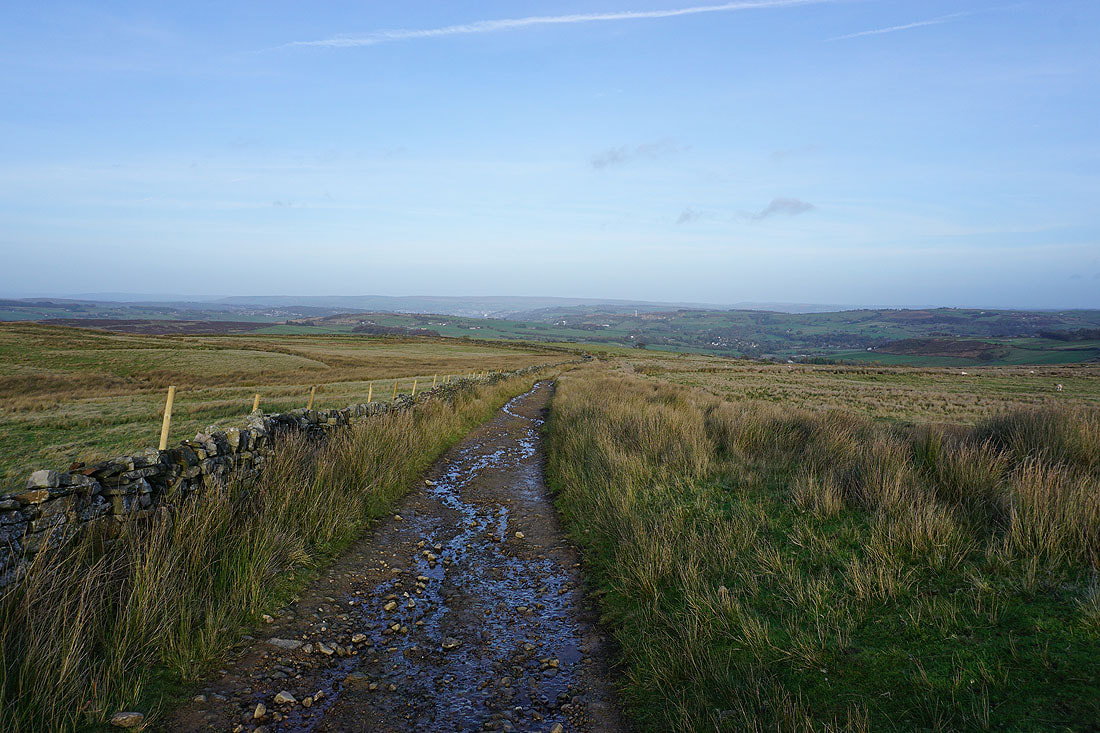
Approaching Old Oxenhope Farm on the Bronte Way with Nab Hill in the distance
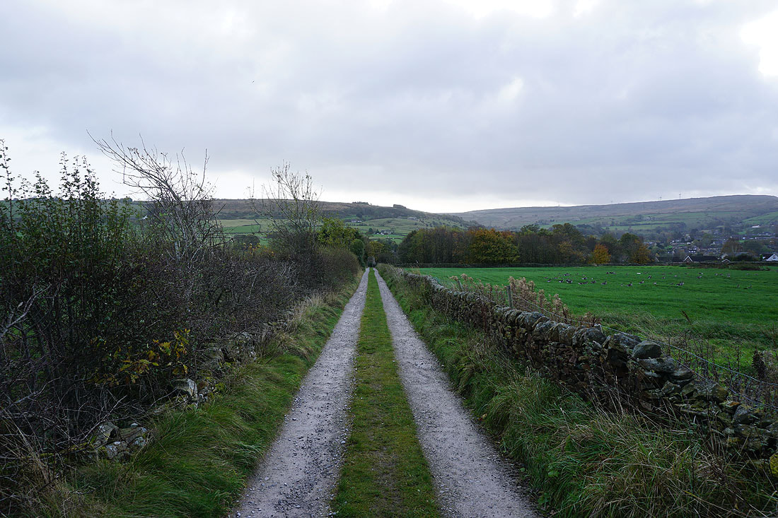
Following Bents Lane down to the Keighley and Worth Valley Railway
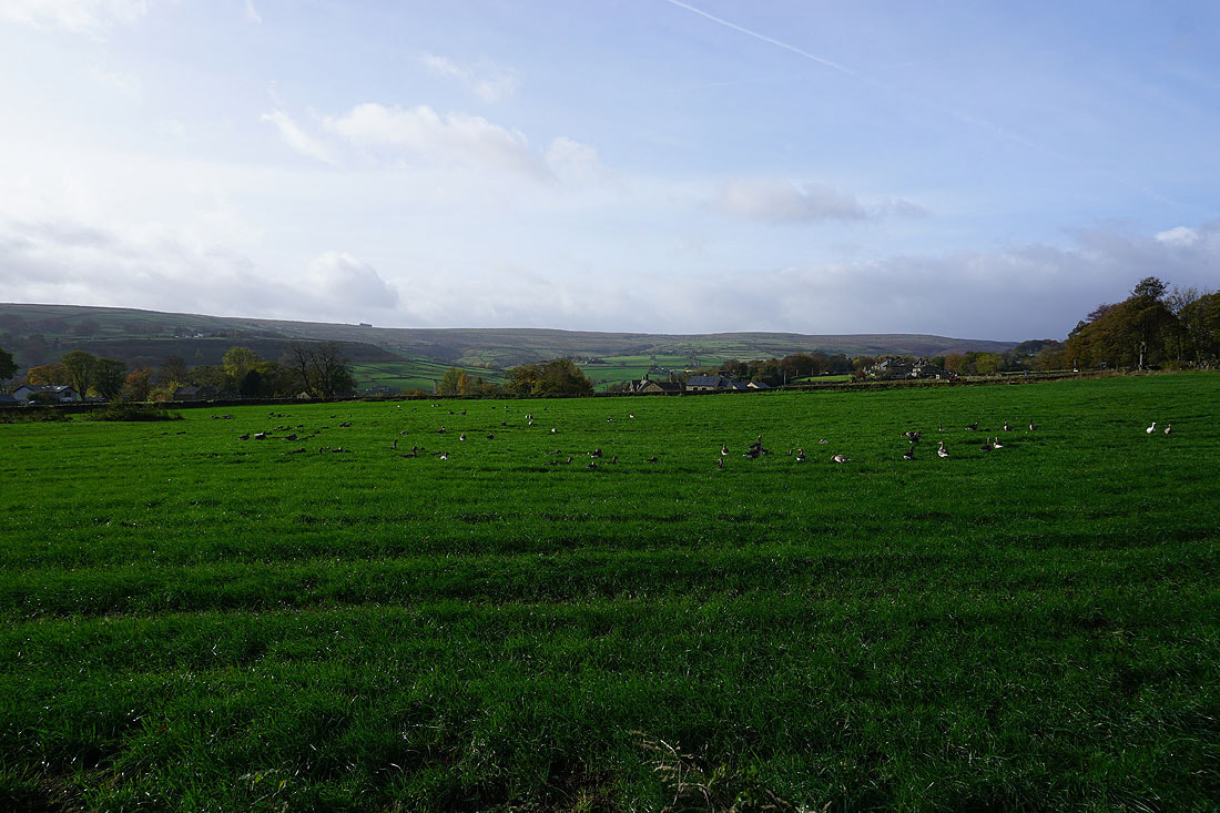
In the field to my right is a flock of greylag geese
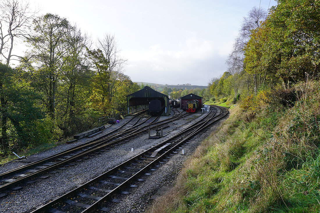
The Oxenhope station on the Keighley and Worth Valley railway, and the end of the line
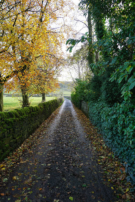
Autumnal colour as I head up Dark Lane
Looking back down Dark Lane to Oxenhope
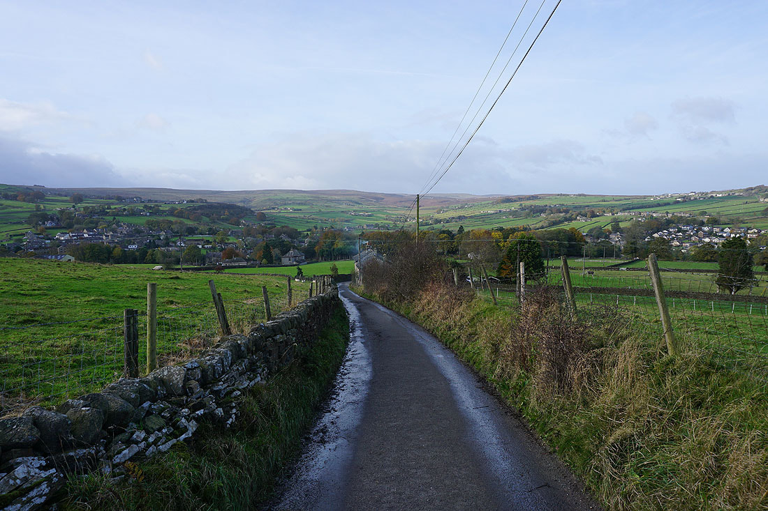
I leave Dark Lane for a footpath up the hillside of Bentley Hey to Black Moor Road
Looking north from Black Moor Road to Haworth and Brow Moor..
..and west across Oxenhope to Oxenhope Stoop Hill and Haworth Moor
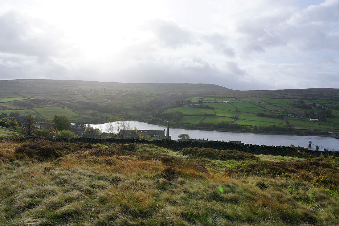
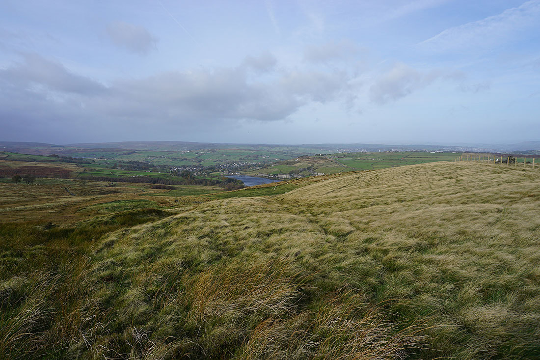
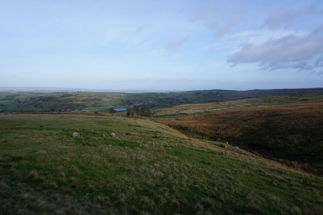
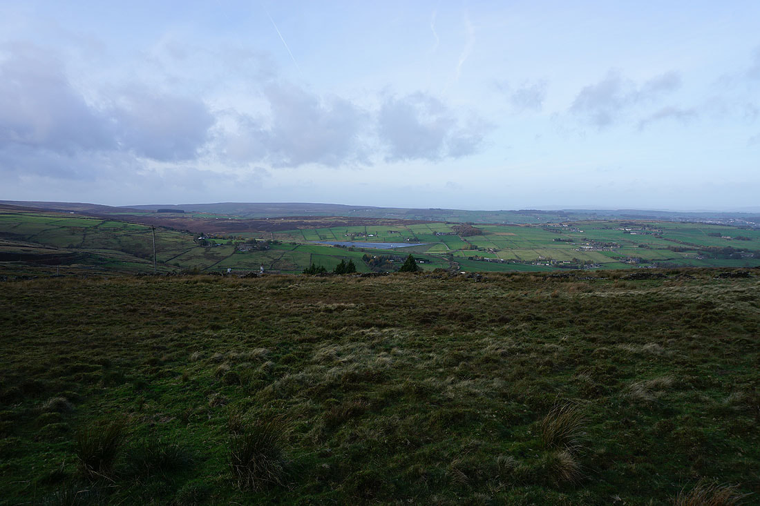
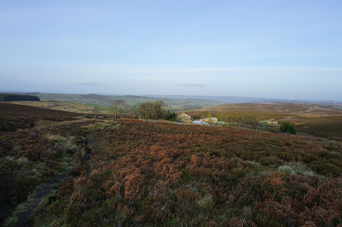
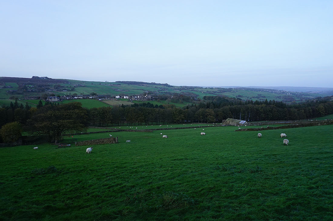
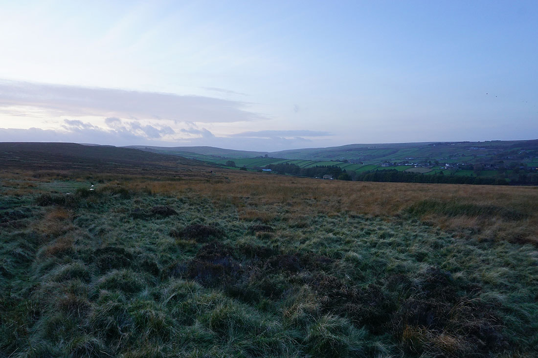
Heading down to Leeming and Leeming Reservoir with Nab Hill beyond
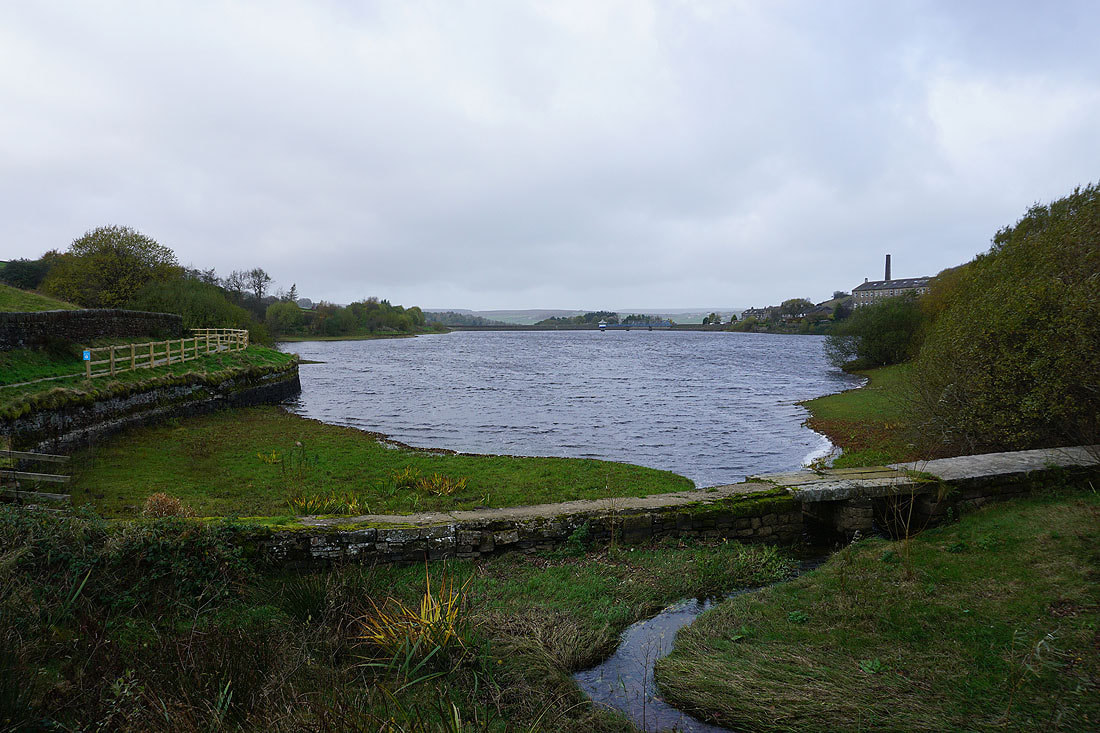
Passing the eastern end of Leeming Reservoir
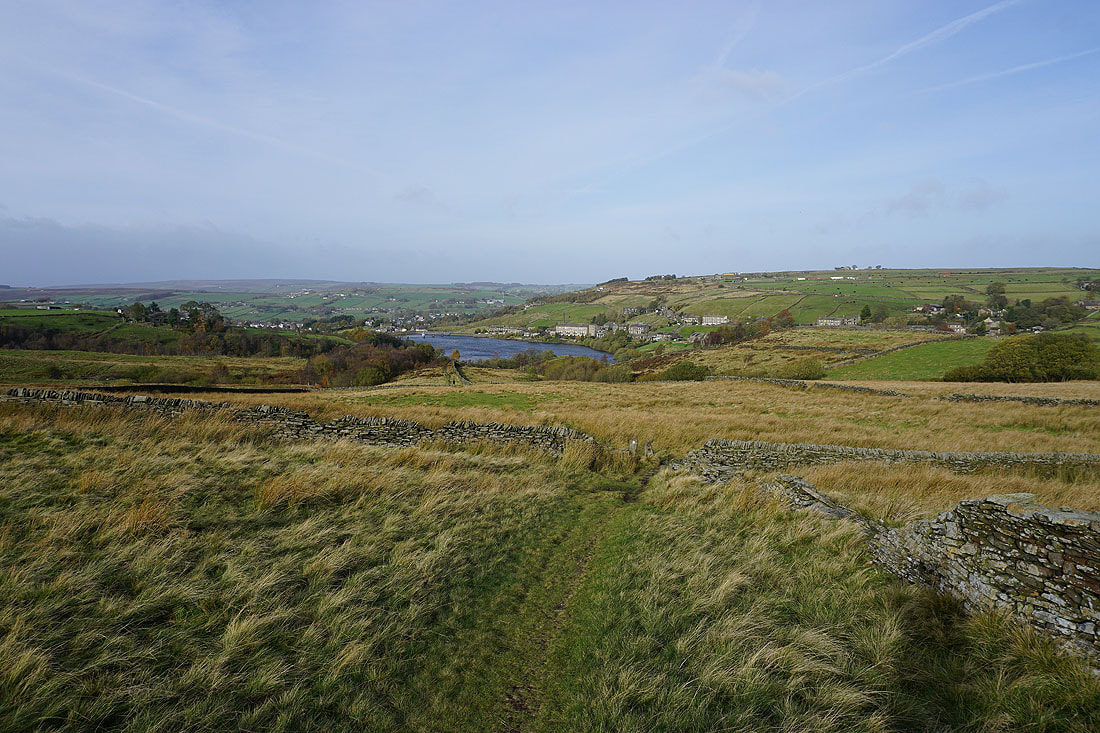
Looking back to Leeming Reservoir and Leeming as I follow the Bronte Way uphill
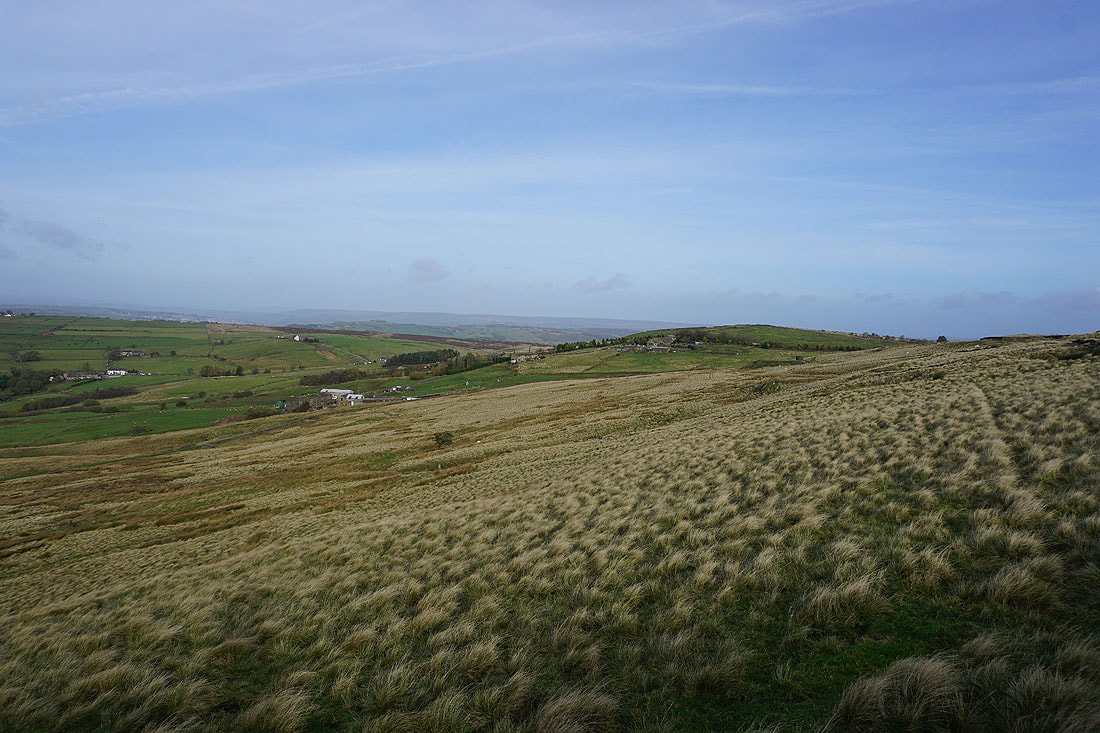
and east to Sawood and Sentry Hill
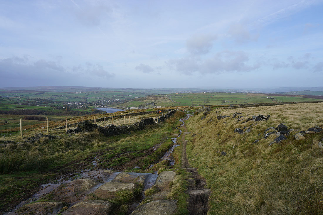
As I reach the top of the Bronte Way I get a great view to the north to Oxenhope and the Bronte moors
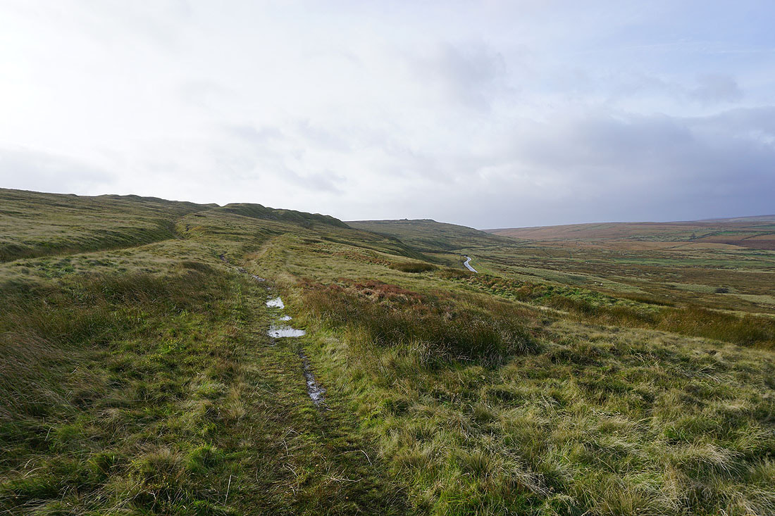
This path follows a catchwater drain across the moor below Nab Hill. I'll be using one on the side of Oxenhope Moor a bit later.
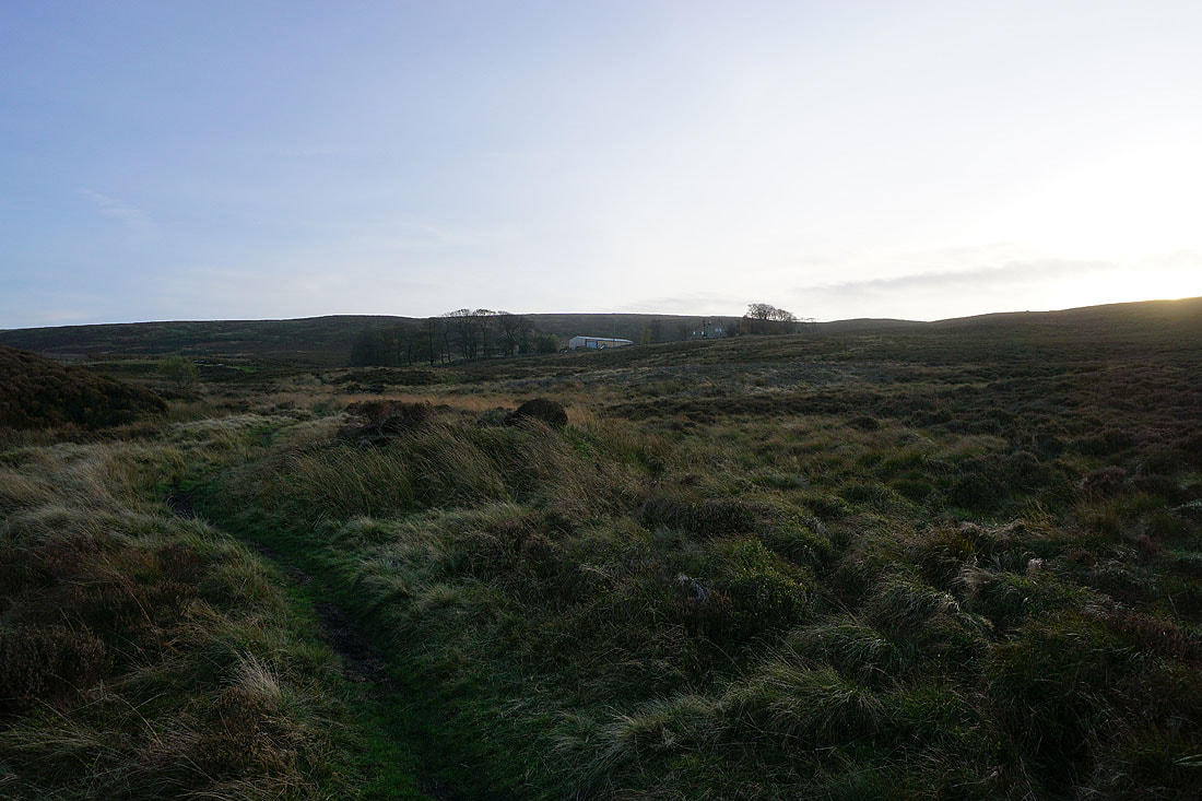
On the track of Hambleton Lane. Looking north to Oxenhope, Leeming Reservoir and Black Moor.
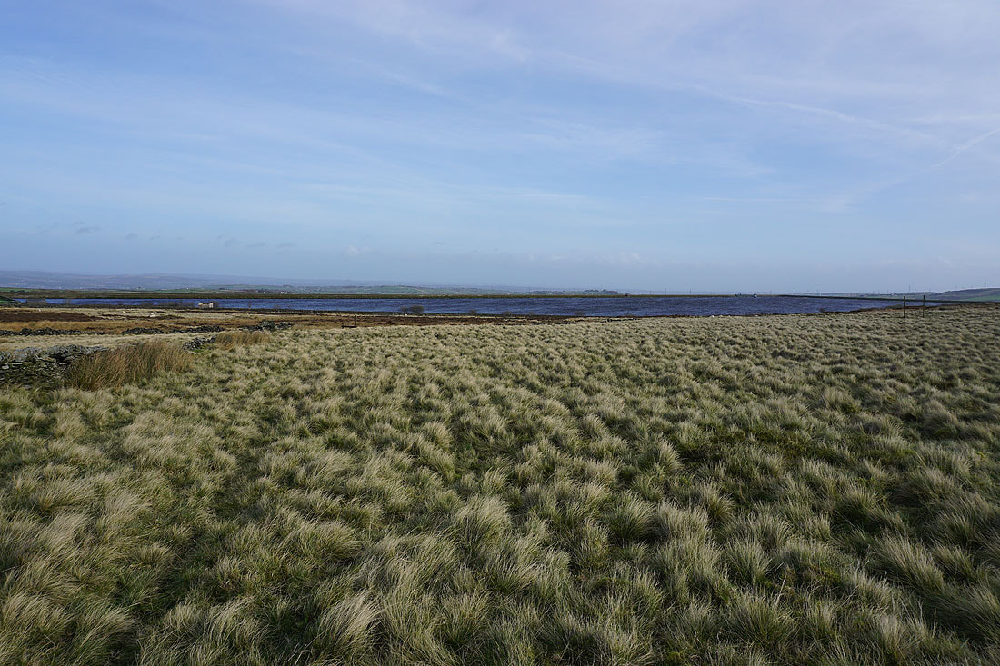
A windswept Thornton Moor Reservoir
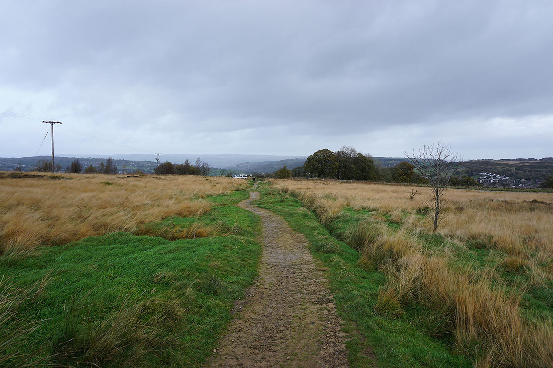
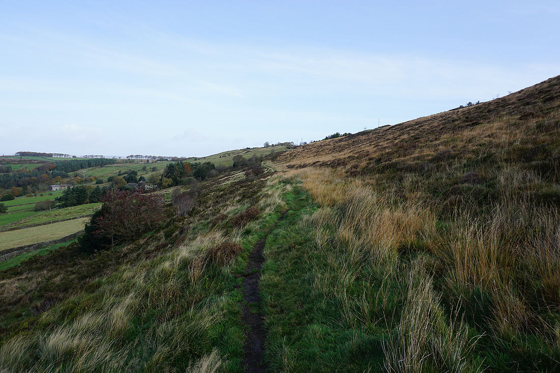
I soon leave Hambleton Lane for a footpath west along the northern edge of Nab Hill..
..which gives me views to the north across the Bronte moors
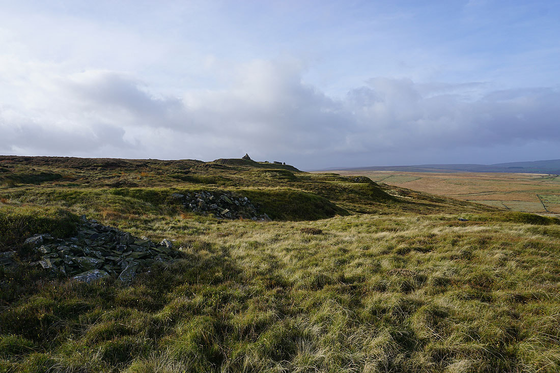
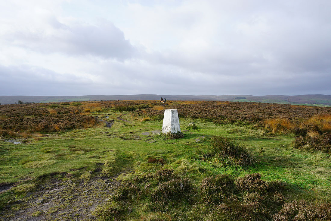
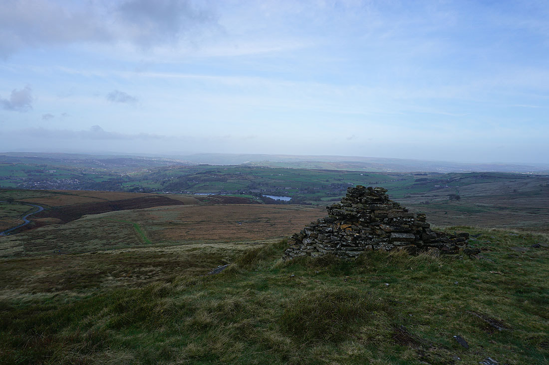
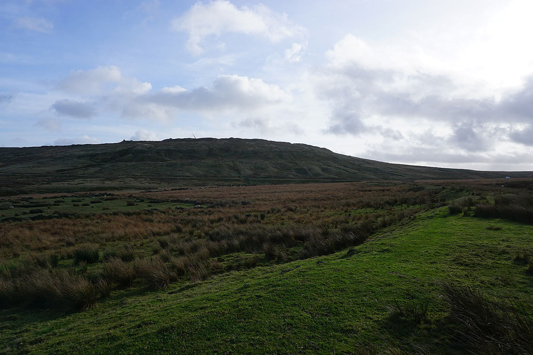
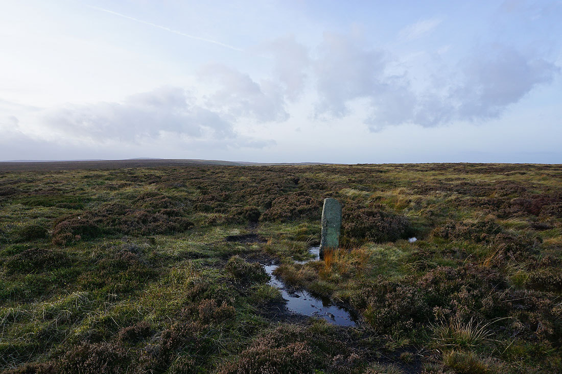
Approaching the cairns on the top of Nab Hill
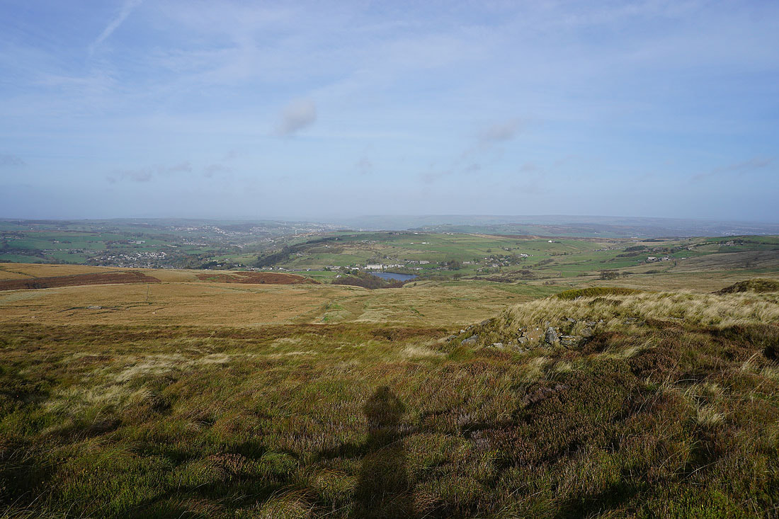
There's a great view to the north from up here across Bronte Country to a distant Ilkley Moor
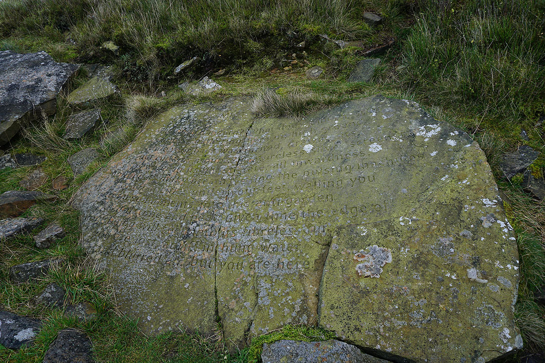
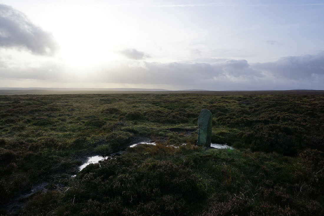
The Stanza Stone of "Mist" is on the hillside just below the cairns
The scene looks far less colourful without the sun being out. It makes a lot of difference at this time of year.
Warley Moor Reservoir as I head down to Nab Water Lane
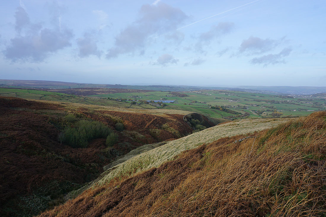
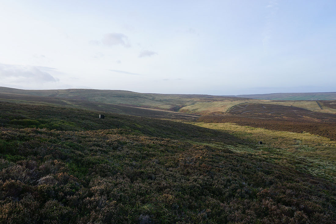
Oxenhope Moor below as I follow the footpath below Nab Hill down to Nab Water Lane. The conduit that I'll be following across the moor can be seen on the left.
Looking back to Nab Hill as I pick up the conduit on Oxenhope Moor
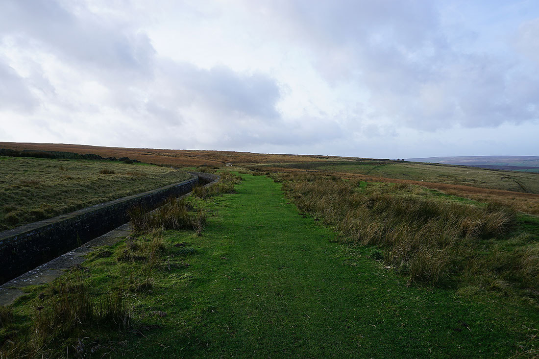
Following the path by the conduit across the moor
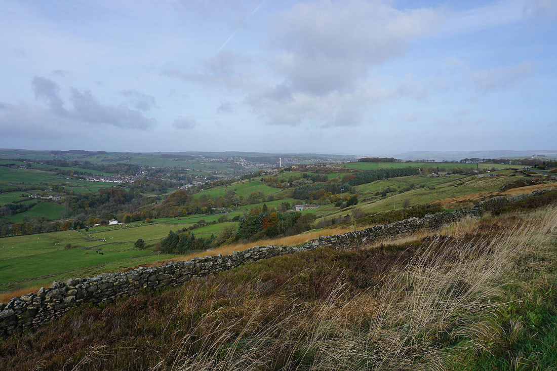
To my right, a view across to Black Moor and Leeming Reservoir
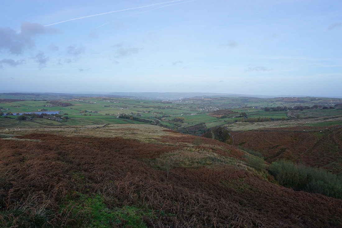
Now heading west and approaching Hebden Bridge Road
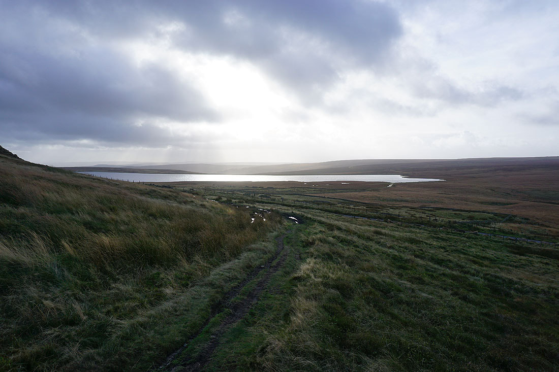
Looking north to Leeshaw Reservoir and Haworth Moor, with Wolf Stones and Oakworth Moor in the distance
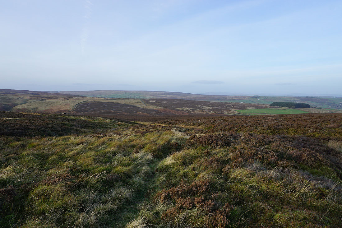
Still by the conduit after crossing Hebden Bridge Road, and above the colourful and bracken filled Rag Clough
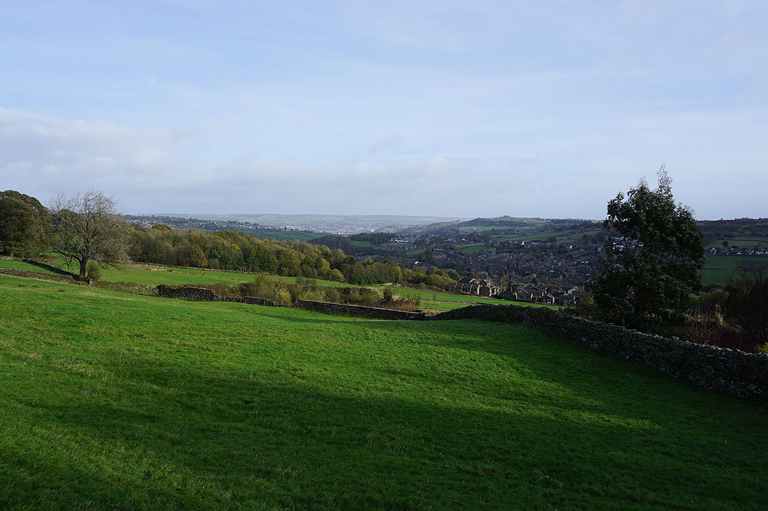
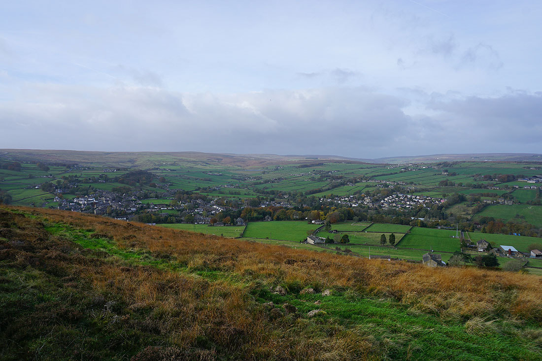
Looking northeast to Leeshaw Reservoir, Penistone Hill, Haworth, Brow Moor, Oxenhope, and Black Moor, with Ilkley Moor in the distance
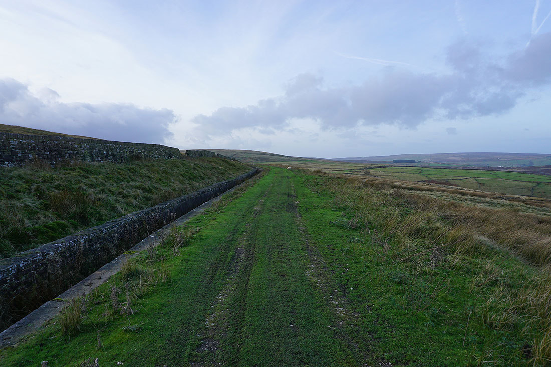
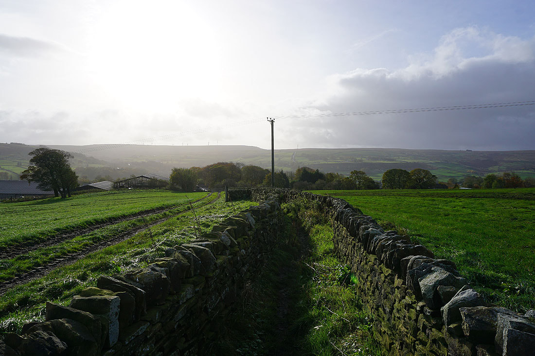
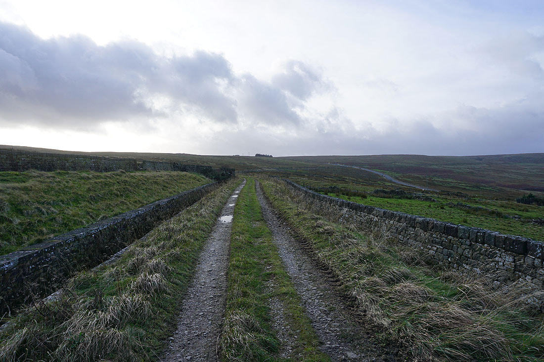
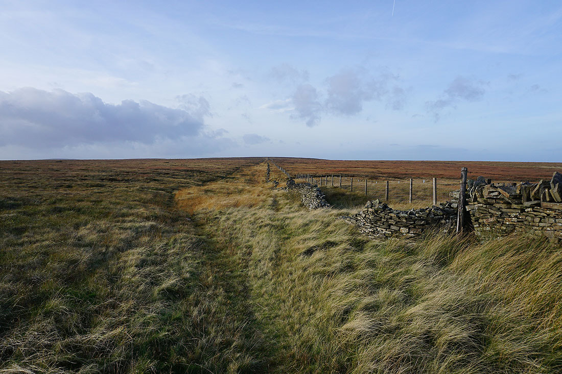
Following the conduit west to Stairs Lane
Looking back as I head up Stairs Lane
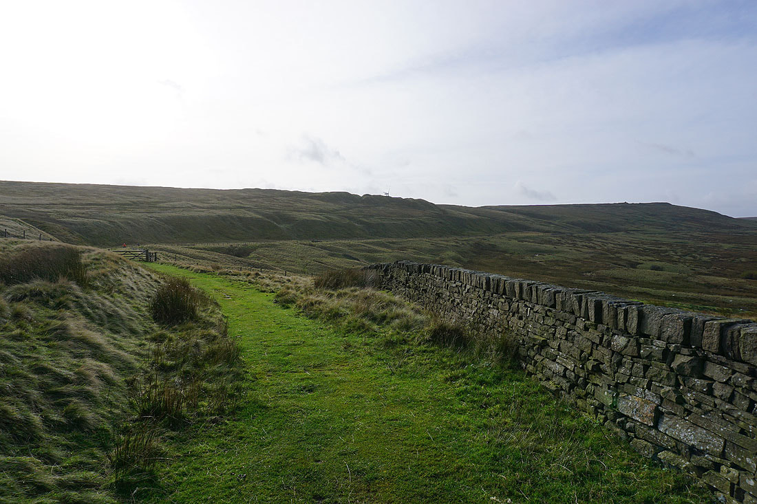
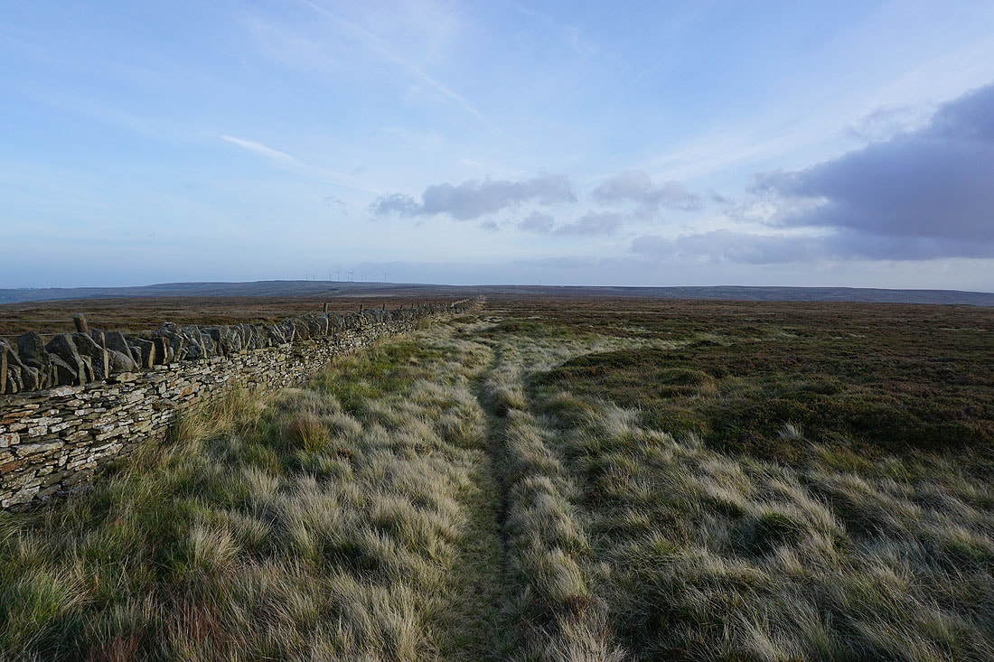
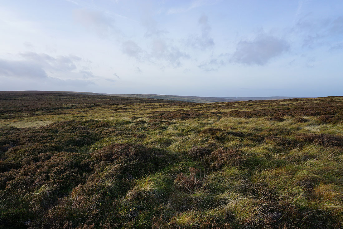
Having reached the top of Stairs Lane I leave it through a gate on the right and follow a wall northwest across access land towards Oxenhope Stoop Hill. There's a clear enough path by it.
Looking back with Nab Hill and White Hill in the distance
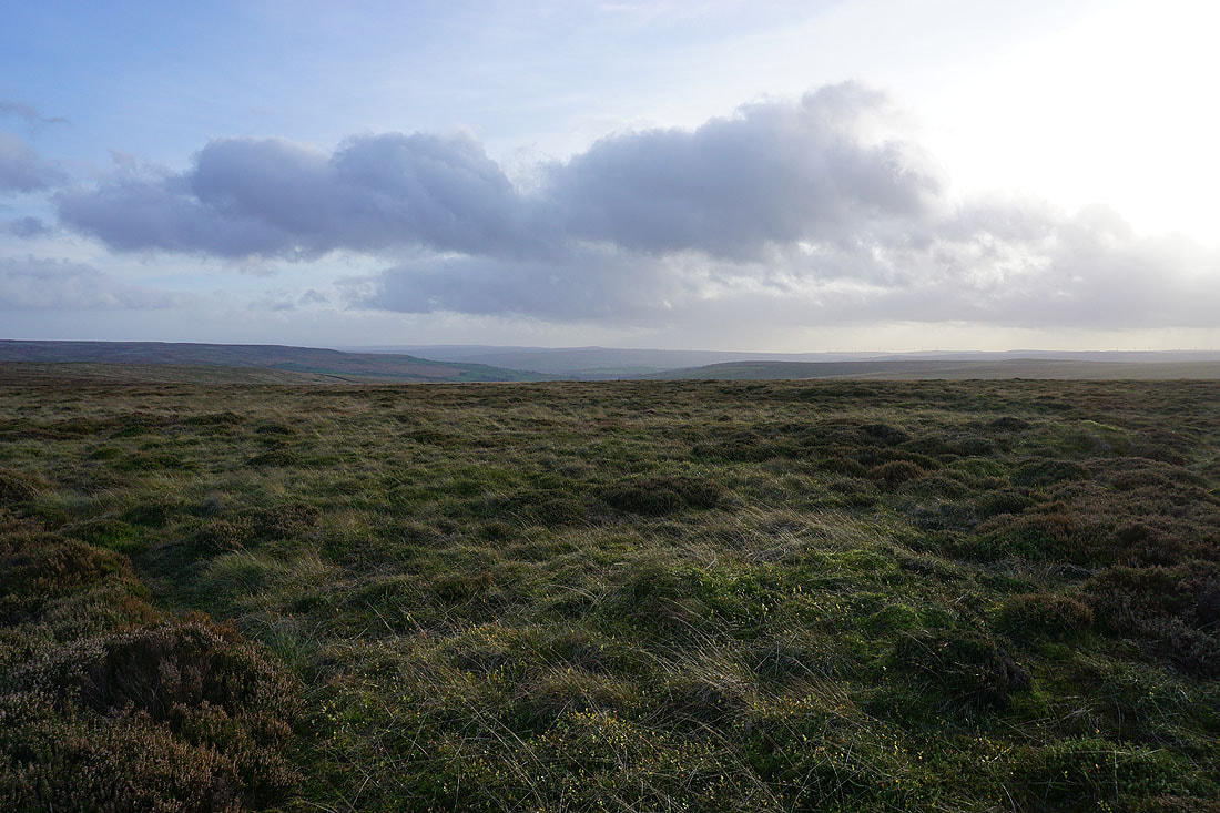
At the boundary stone of Oxenhope Stoop. Hoof Stones Height and Gorple Hill to the southwest.
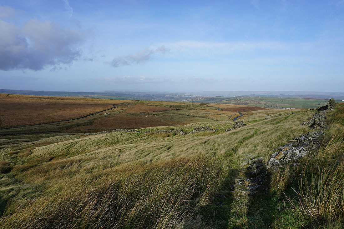
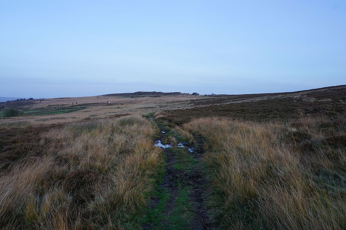
A broad expanse of moorland to the west
The moors around Hebden Bridge to the south
Stanbury Moor to the north
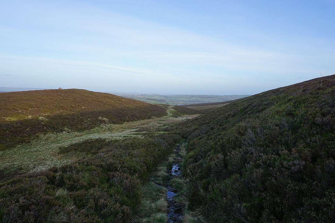
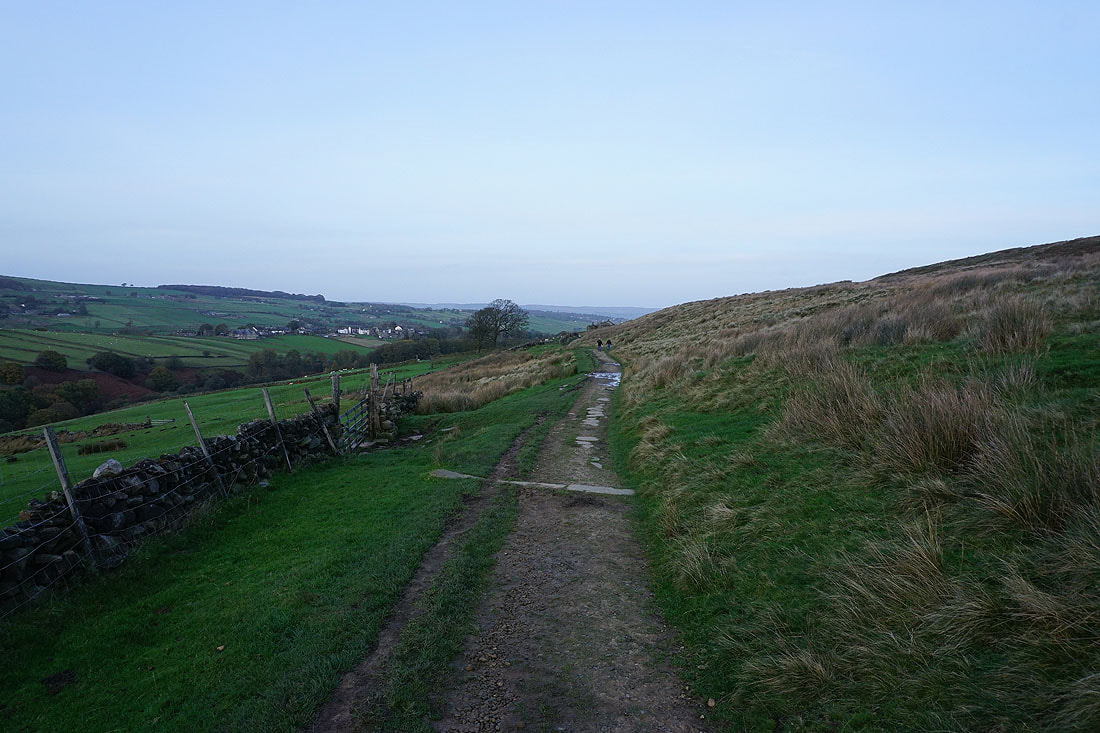
The Worth Valley ahead as I leave Oxenhope Stoop Hill by the path down to Harbour Hill
The broad slopes of Withins Height and Stanbury Moor to my left..
Approaching Harbour Hill. I'll take the path round its right side..
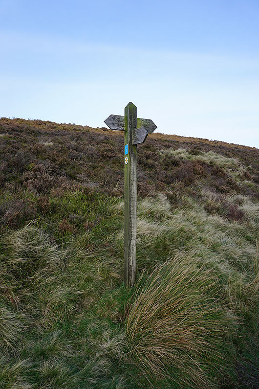
..signposted to Haworth. Going the other way will take you to Top Withins.
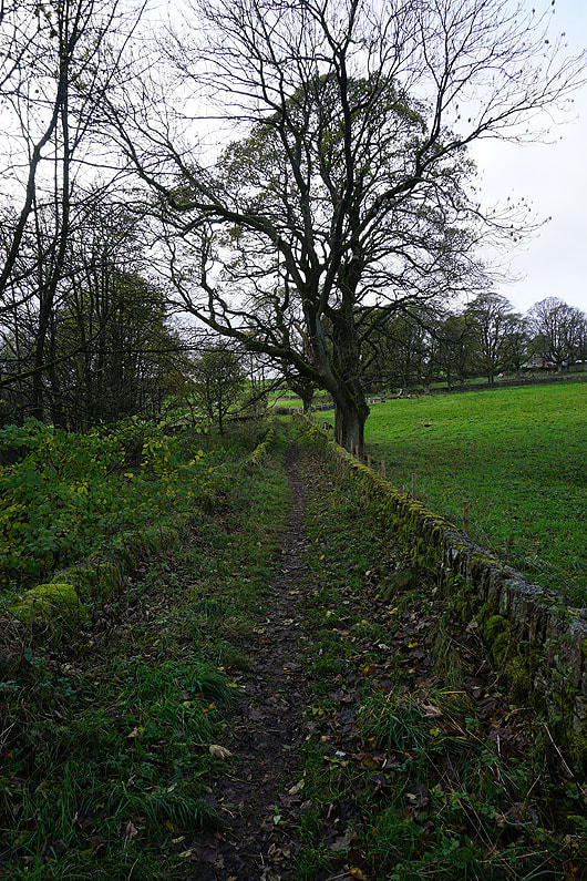
Heading down to Harbour Lodge
Looking back to Harbour Lodge as I take the footpath down to Bronte Bridge
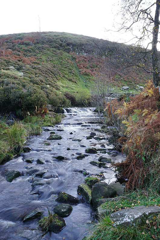
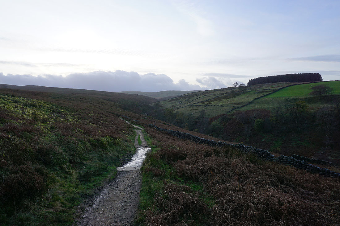
South Dean Beck from below Bronte Bridge
|
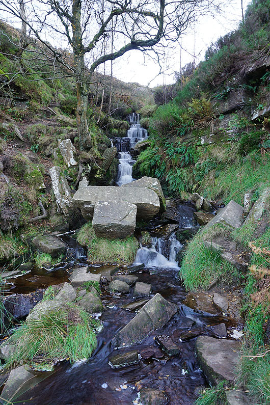
and the Bronte Waterfalls
|
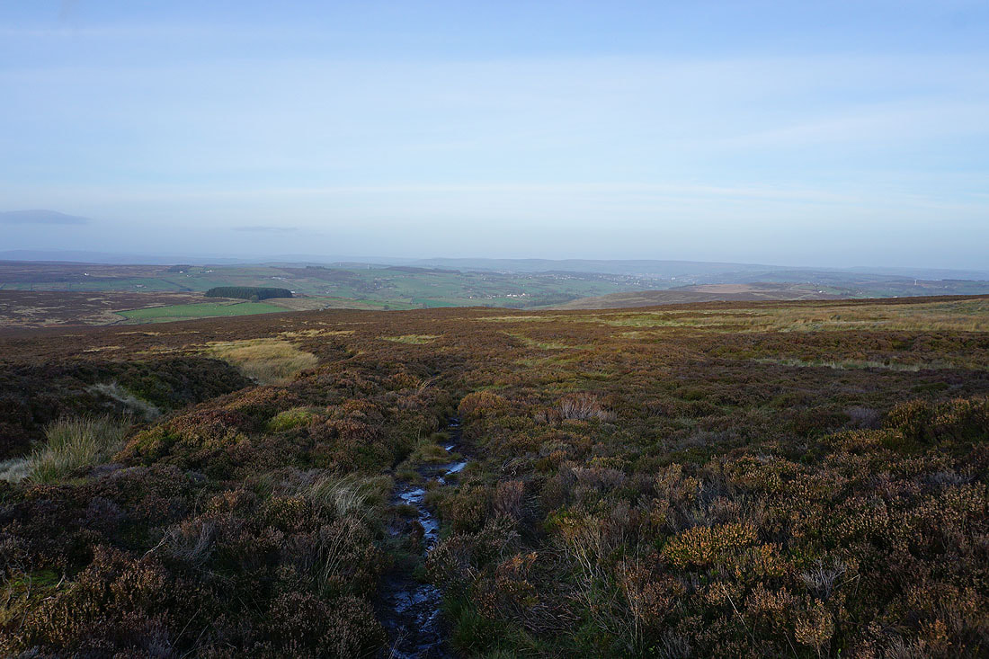
The valley of South Dean Beck as I leave Bronte Bridge..
..and take the path east along the side of Haworth Moor
The village of Stanbury on the opposite hillside
Penistone Hill ahead
The Worth Valley in the last light of the day