7th October 2012 - Middleton Fell
Walk Details
Distance walked: 9.6 miles
Total ascent: 2338 ft
OS map used: OL2 - Yorkshire Dales, Southern & Western areas
Time taken: 6.5 hrs (I did dawdle when I was on the tops)
Route description: Hodge Bridge-Barbon-Eskholme-Millhouse Gill-Calf Top-Castle Knott-Eskholme Pike-Eskholme-Barbon-Hodge Bridge
A glorious day for this walk, my fourth ascent of Middleton Fell and I've finally seen the extensive vista that I'd been hoping to see on my previous visits. There was no wind to speak of even on the tops and with the sun it felt warm enough for me to do the whole walk in just a base layer with the sleeves rolled up (and trousers).
I started this walk from a large layby at Hodge Bridge just off the A683 outside the village of Barbon. I walked up through the village, turned left at St. Bartholomew's church and crossed Barbon Beck to take the path to Eskholme. Here I then went uphill to a gate in the intake wall and access land. I then made my way north, more or less following the intake wall using sheep trods until I reached Millhouse Gill. I crossed the gill and then made my way to the summit, Calf Top following a quad bike track in the grass. My route back was over Castle Knott, down to Eskholme Pike and back through Barbon.
Route map
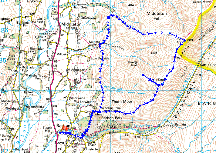
© Crown copyright. All rights reserved. License number PU 100034184.
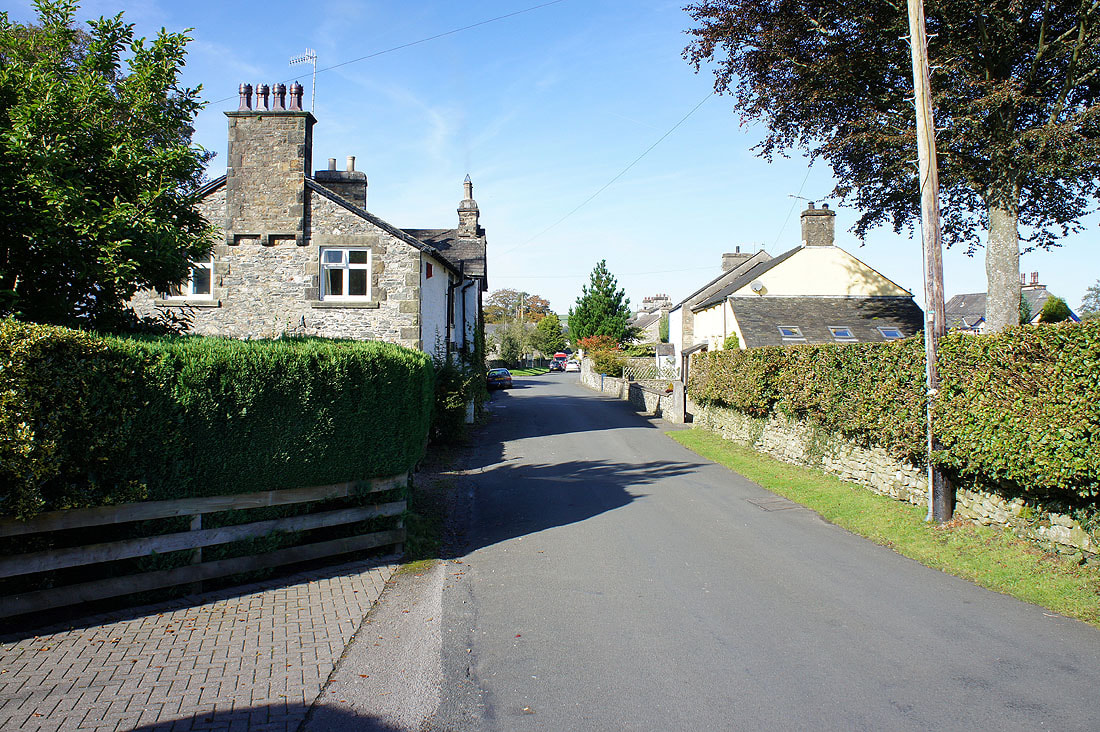
The village of Barbon which I've just walked through
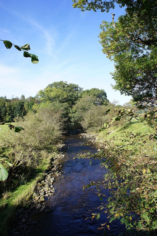
Crossing over Barbon Beck
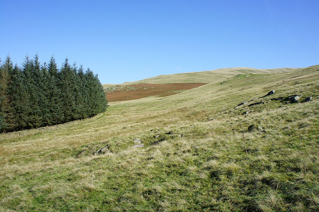
From Eskholme I went uphill to reach a gate where access land is reached. I'm now going to more or less follow the intake wall north until I reach Millhouse Gill. There's no real path to use, just a succession of sheep trods.
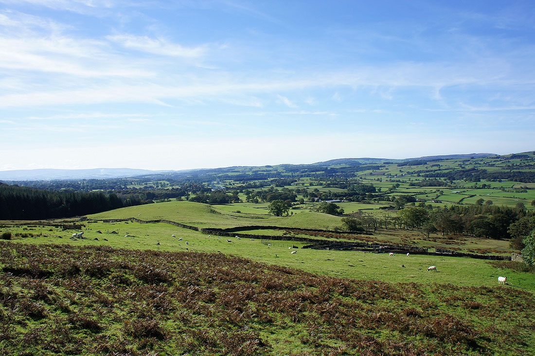
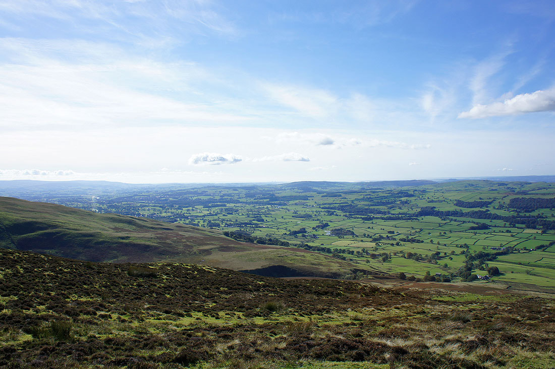
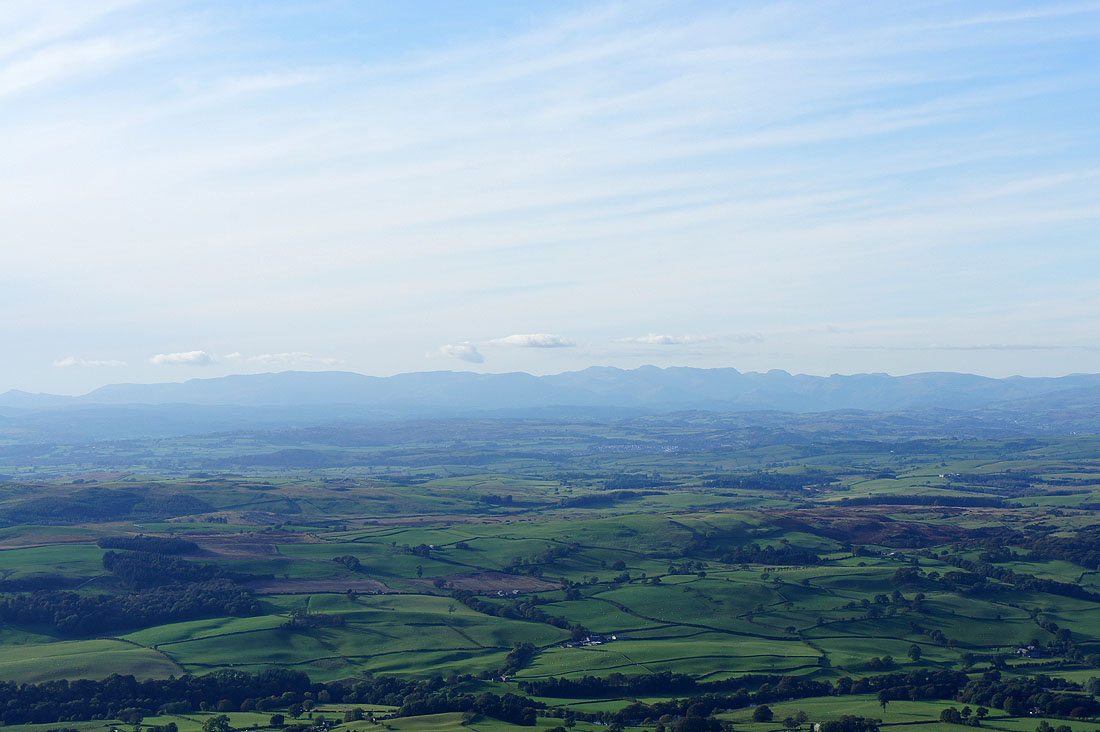
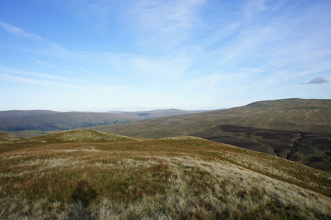
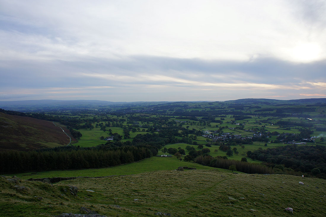
As I make my way north I have great views down and across the Lune valley...
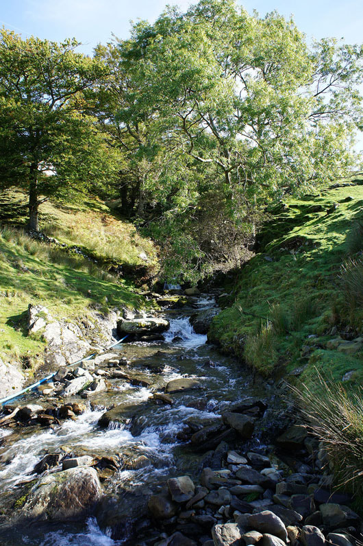
Millhouse Gill and it's tricky to cross. In the end I had to resort to taking my boots off. There just wasn't anywhere that was shallow and narrow enough for me to cross safely without getting a boot full. It wasn't the most unpleasant experience in the world however, the water was refreshingly cold. I can finally start heading uphill once I'm over.
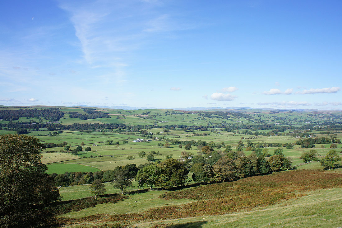
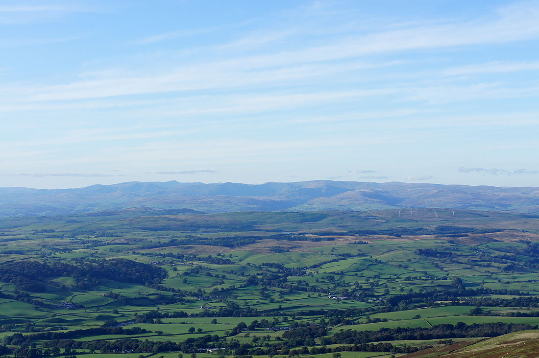
About half way up and a little cairn provided a convenient place to stop and have a break. The view down the Lune valley.
The Howgills to the north
Lakeland fells in the distance
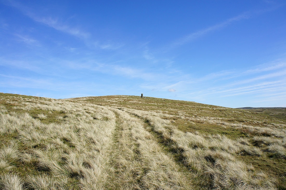
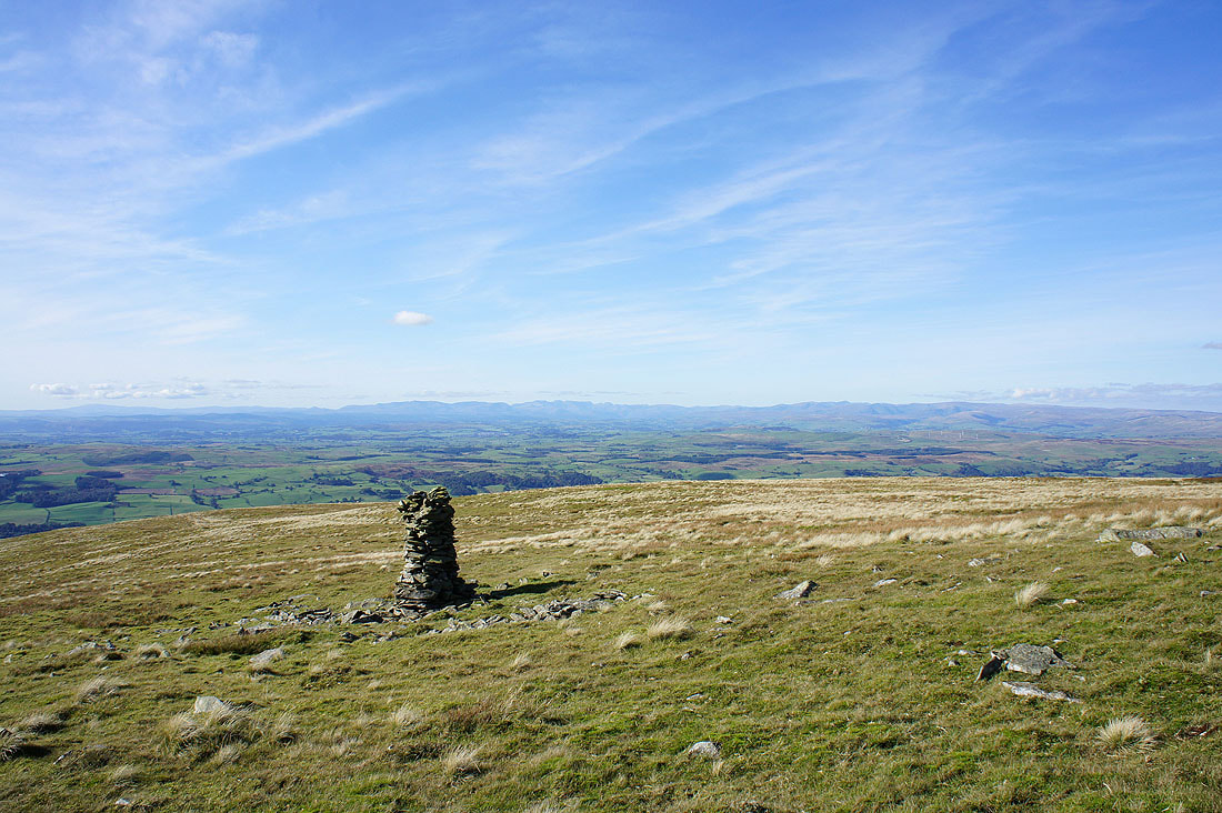
Nearly at the top and a stone pillar comes into view. The summit, Calf Top isn't far to go.
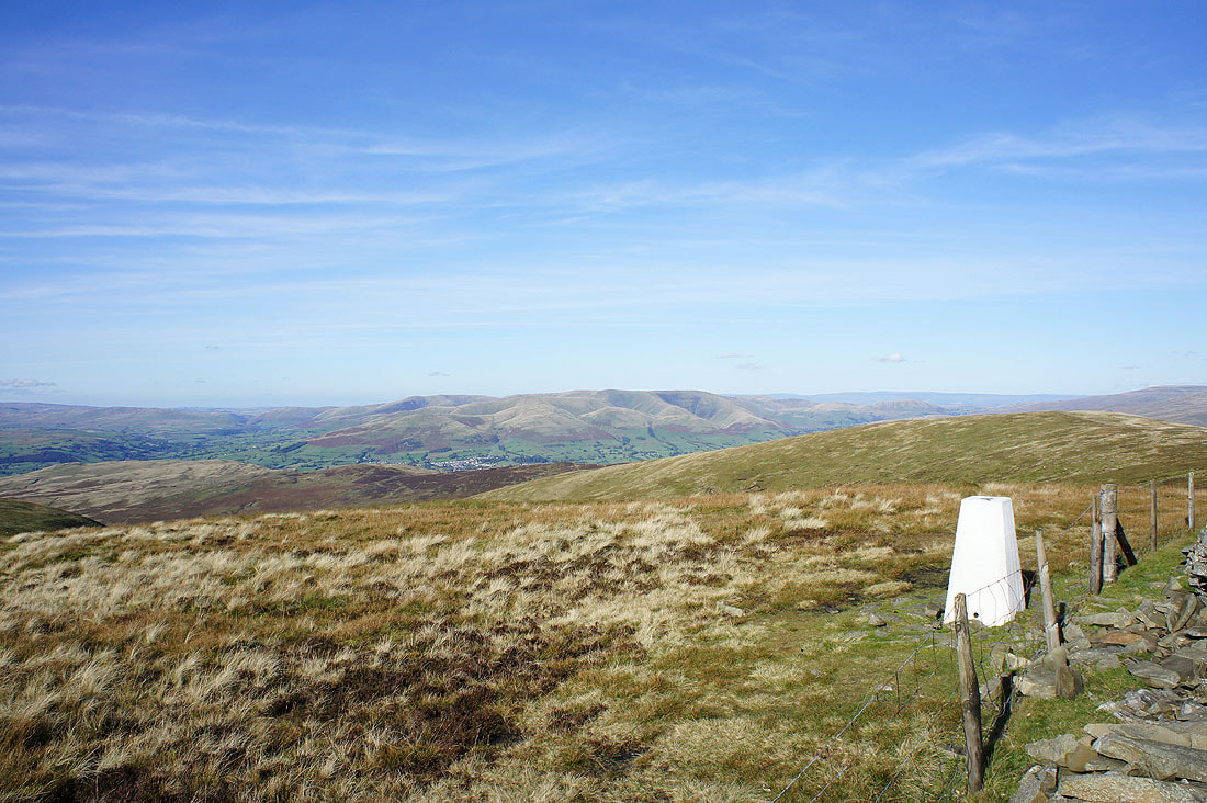
Lakeland fells in the distance from the stone pillar. Excellent visibility, so I zoomed in to see what I could make out.
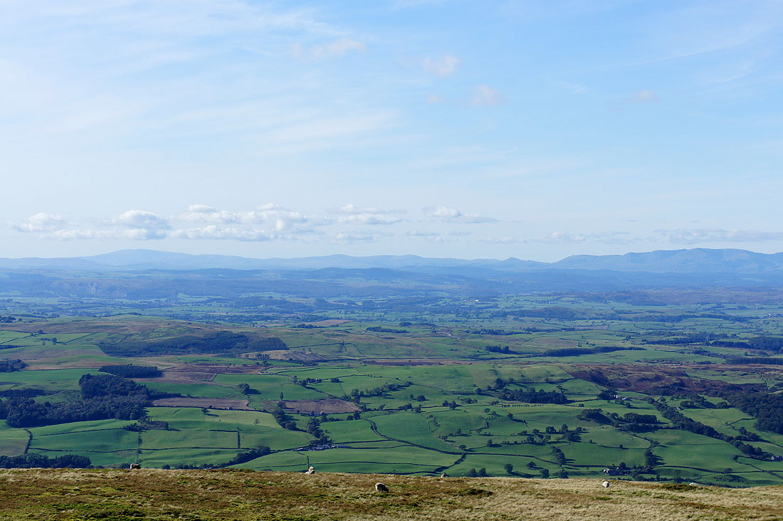
Black Combe, Buck Barrow, Whit Fell and Caw
The Coniston fells, Scafell, Scafell Pike, Great Gable and the Langdale Pikes
Fairfield, Helvellyn, High Street and High Raise
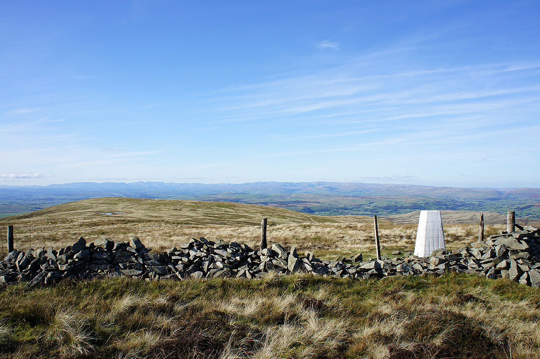
Calf Top, the summit of Middleton Fell. On this side of the wall I'm in the Yorkshire Dales National Park, the other side isn't. This goes back to when the park boundaries were drawn with this side being in West Yorkshire and the other in Westmorland. Since 1974 both are in Cumbria.
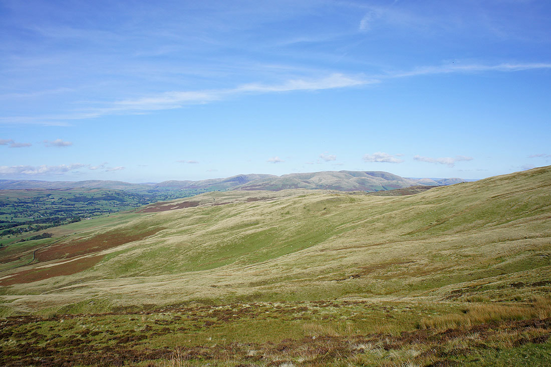
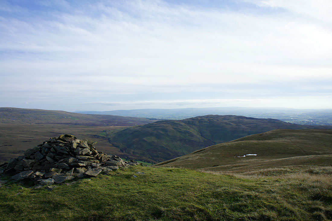
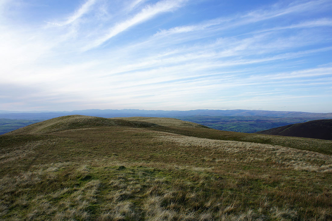
Looking towards the Howgills
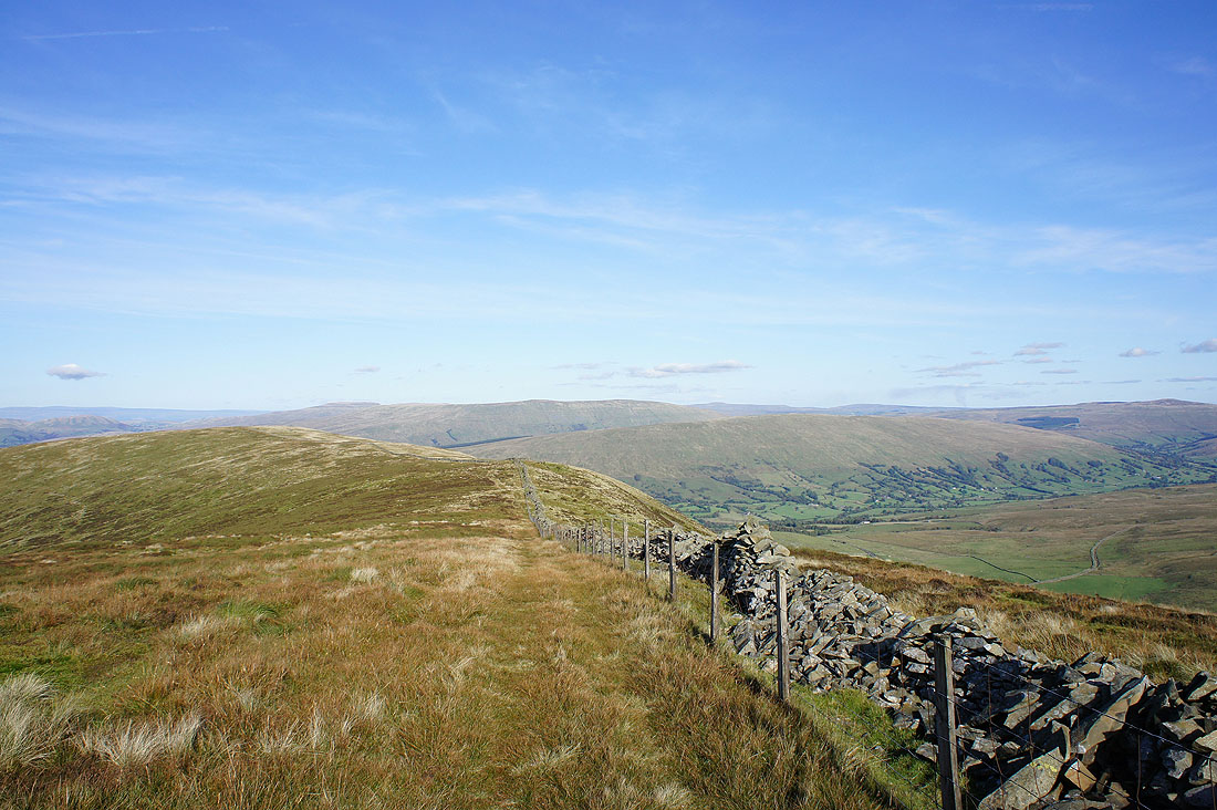
Wild Boar Fell, Baugh Fell and Rise Hill
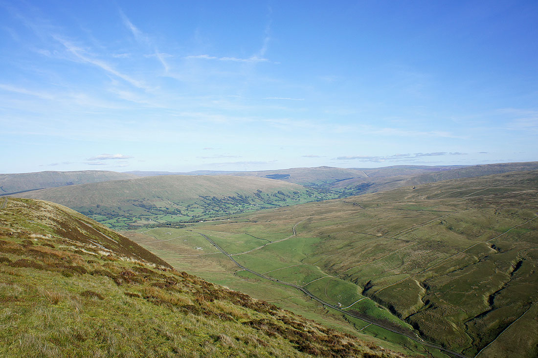
The deep valley of Barbondale below with Dentdale beyond leading to Great Knoutberry Hill
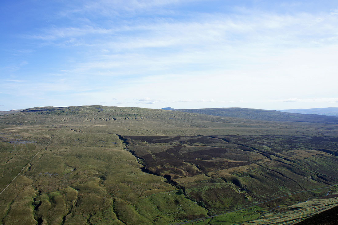
Crag Hill on the other side of Barbondale. The top of Ingleborough can be made out behind.
Barbon Low Fell at the end of Barbondale
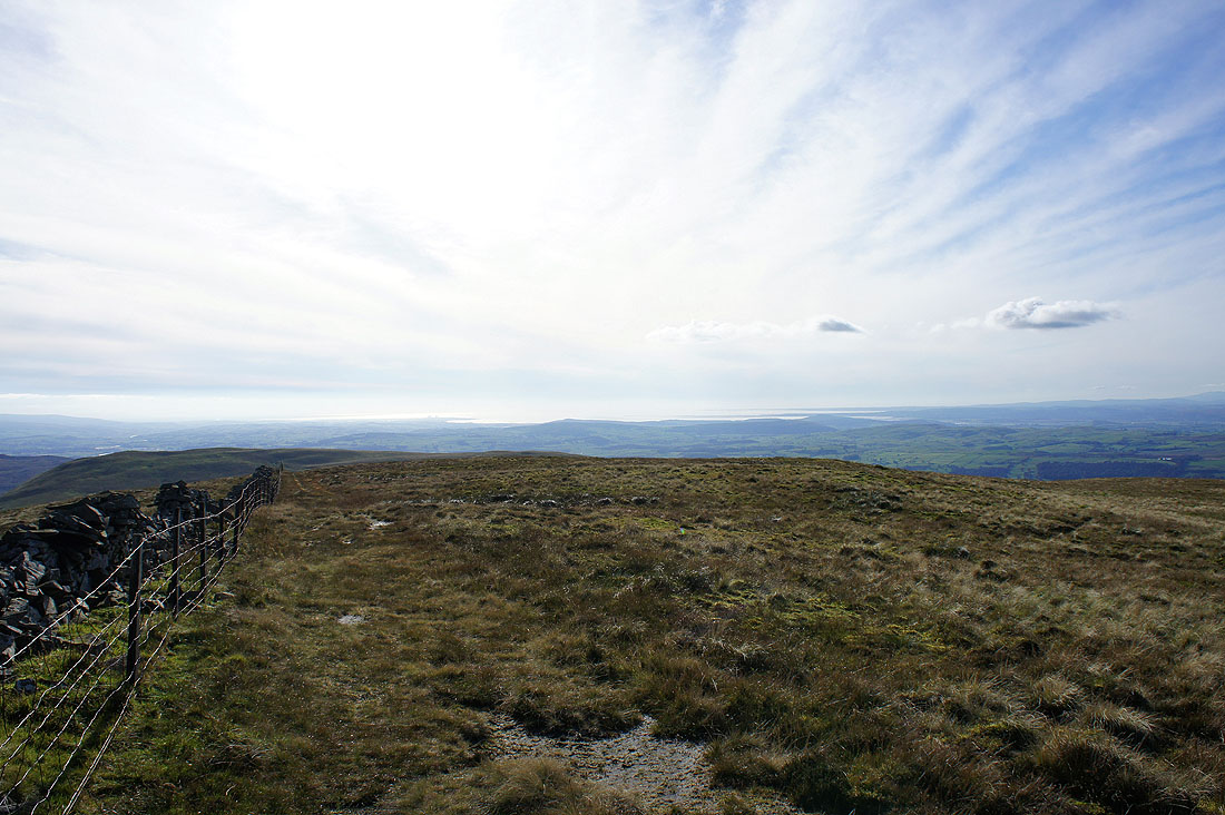
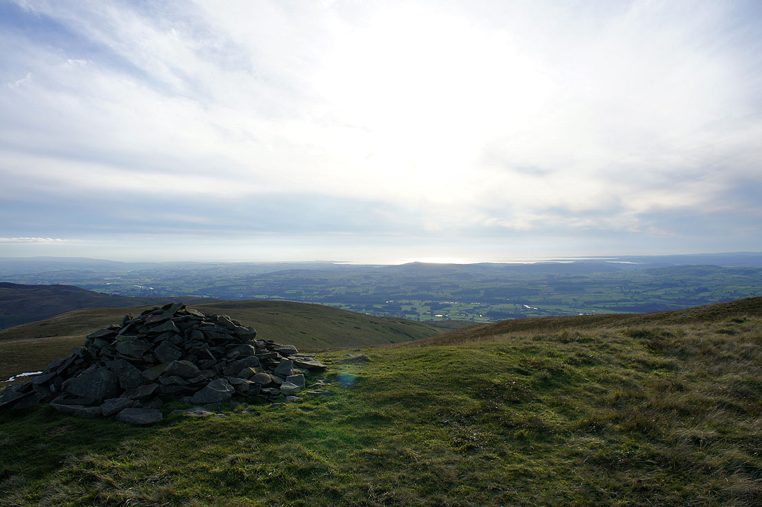
The view looking out to Morecambe Bay
Lakeland fells without the summit furniture getting in the way
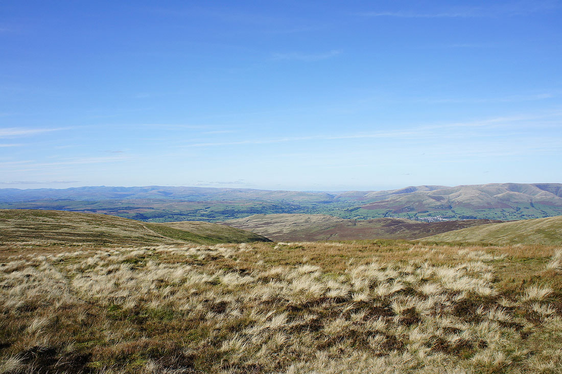
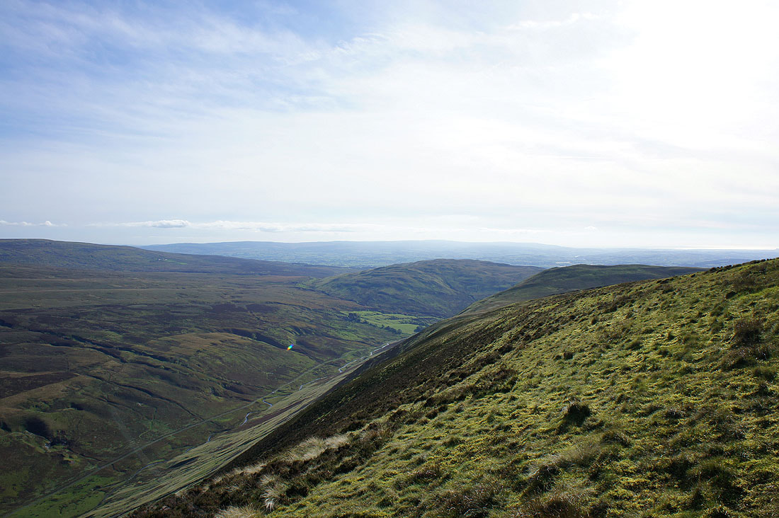
The Lune valley in the centre of the picture heading north to the Lune gorge
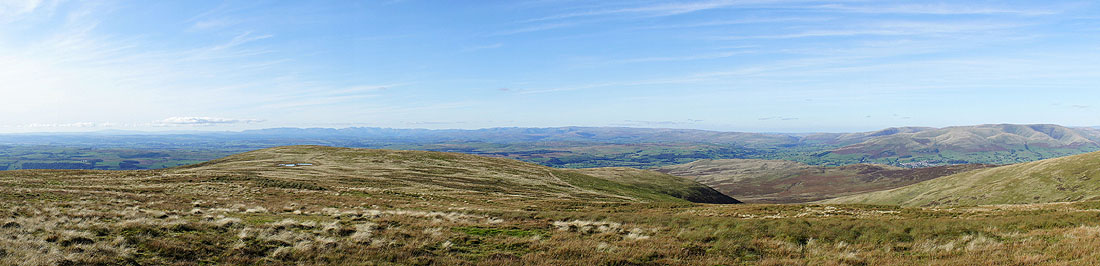
Panorama from Black Combe all the way round to the Howgills
Heading for Castle Knott. I'm going to head for the western end of the summit first to see the view.
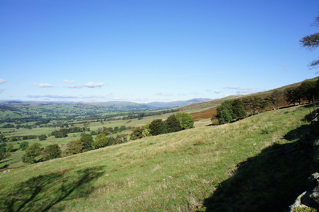
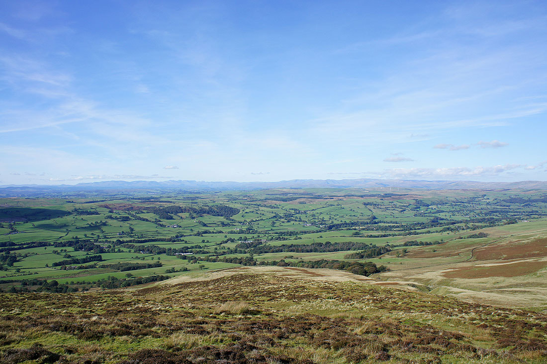
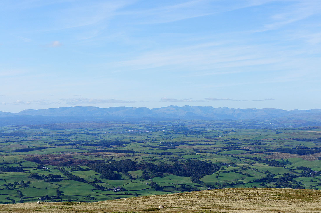
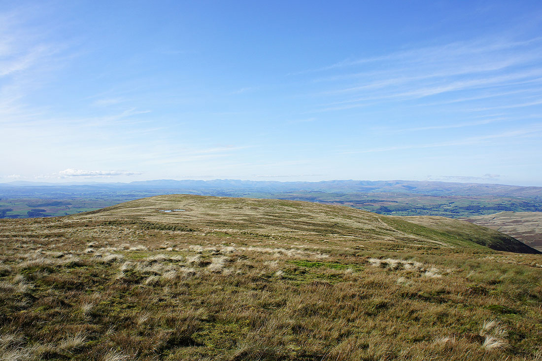
At the western end of the summit. The view across the Lune valley to the Lake District fells.
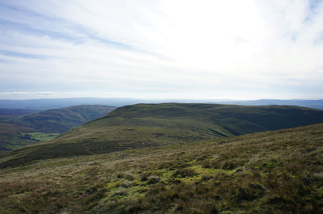
Barbon Low Fell from Castle Knott
and Morecambe Bay
Great Knoutberry Hill in the distance with Crag Hill to the right
One last shot across the summit and the high cloud is rapidly advancing across the sky making the sunshine hazy
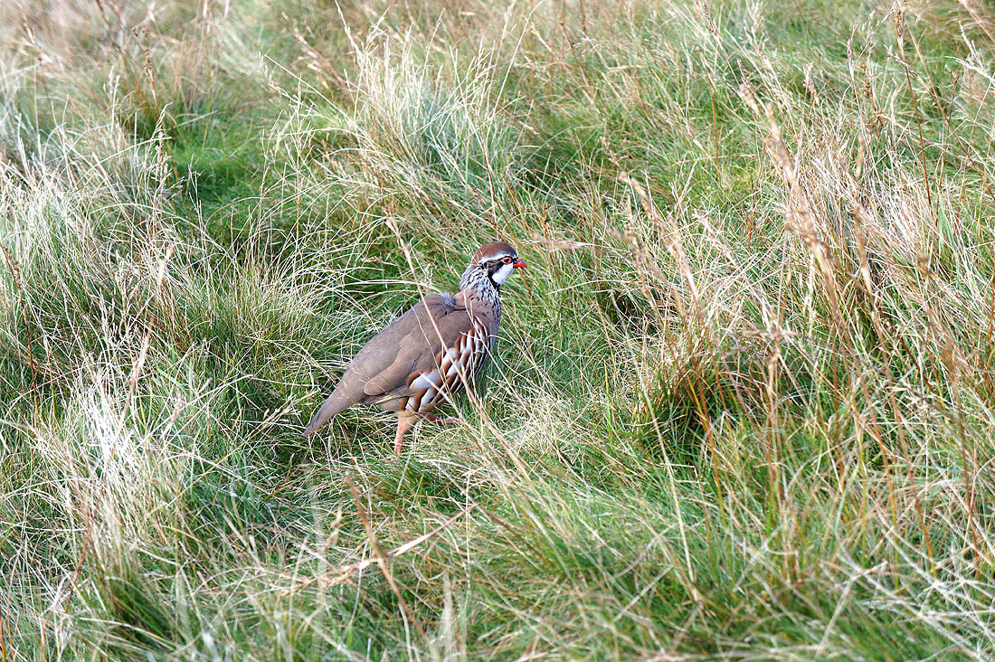
A red-legged partridge. I spotted it as I made my way down to Eskholme Pike and it was quite happy for me to follow it as I tried to take its picture.
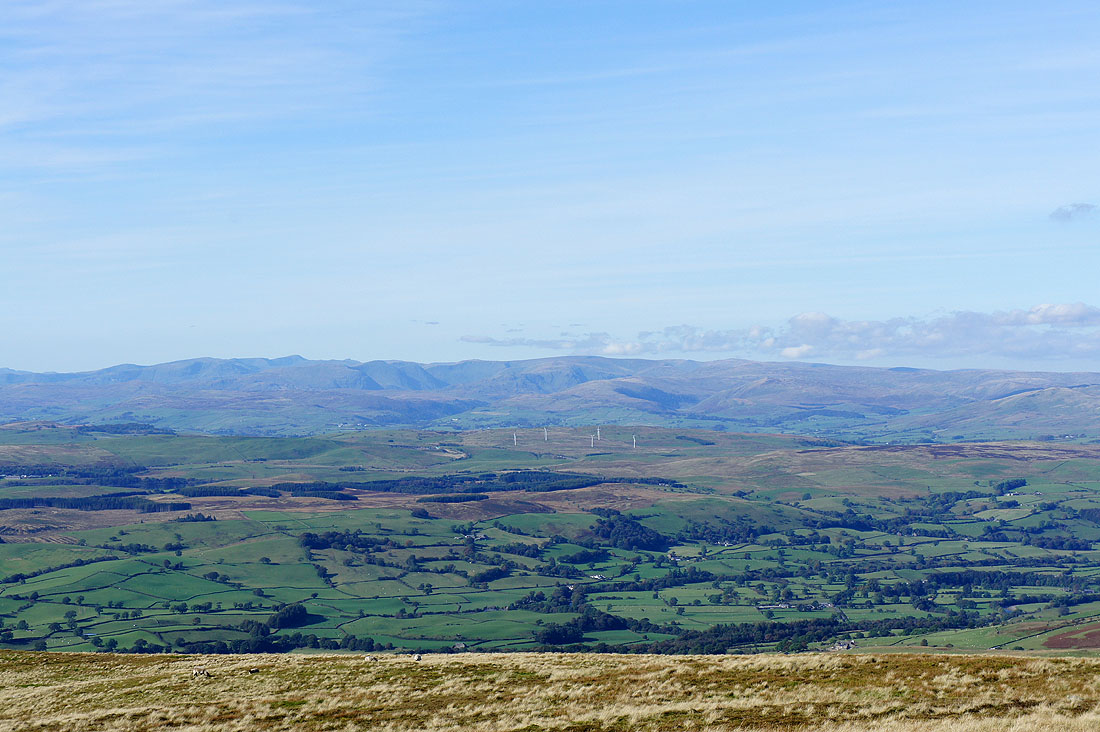
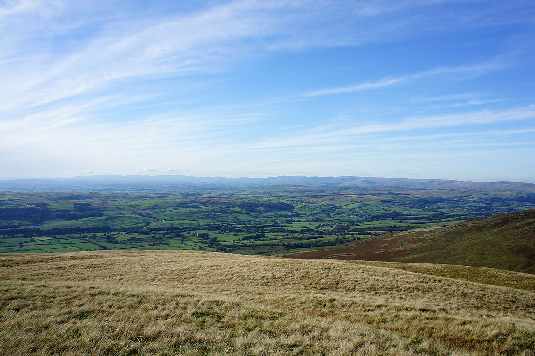
The final stop of the day, Eskholme Pike. The view across the Lune valley to the distant Lakeland fells.
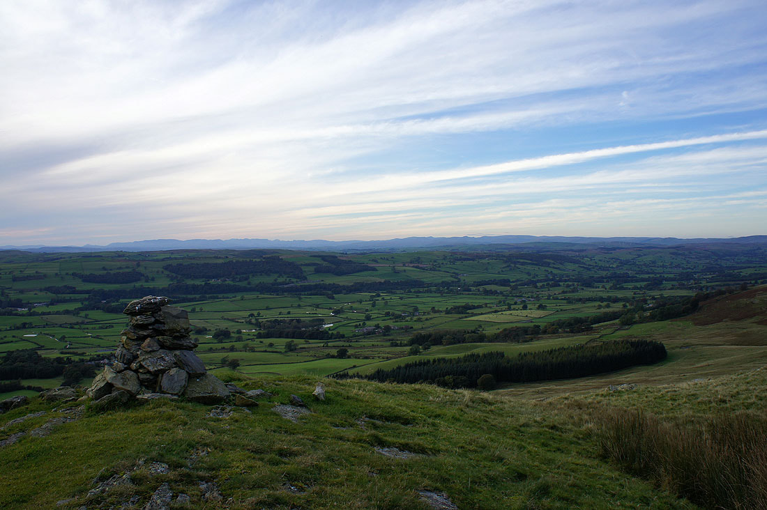
Barbon below in the Lune valley
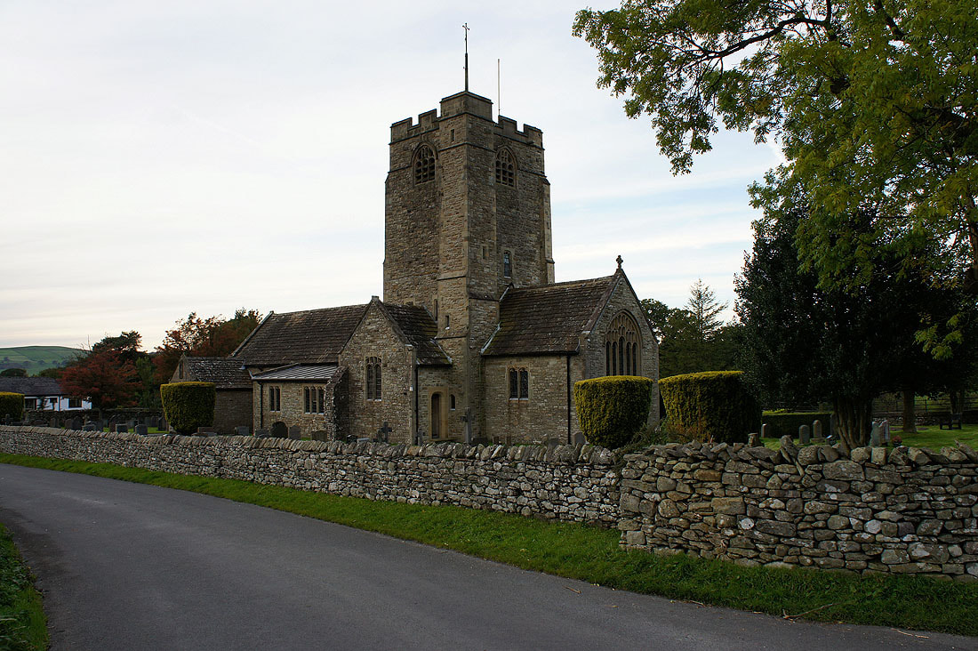
St. Bartholomew's church, Barbon. Now to walk back through the village to where I'm parked at Hodge Bridge.