7th October 2018 - Shutlingsloe
Walk Details
Distance walked: 10.5 miles
Total ascent: 2359 ft
OS map used: OL24 - The Peak District, White Peak area
Time taken: 6 hrs
Route description: Tegg's Nose Country Park-Clough House-Hacked Way Lane-Charity Lane-Forest Chapel-Buxtors Hill-Shutlingsloe-Wildboarclough-Lower Nabbs Farm-Greenway Bridge-Oakenclough-High Moor-Meg Lane-Gritstone Trail-Tegg's Nose Country Park
The Peak District was again my destination of choice for the best of the weather and for it to last the longest time. I decided to tackle Shutlingsloe from Tegg's Nose Country Park. Starting from there was about as far away as I could sensibly start from, so that I could the most of the shortening daylight hours, and there's a cafe for post-walk refreshments. It was actually sunnier when I left home than when I arrived at Tegg's Nose but that sunshine moved south so that I could enjoy walking in it during the late morning and early afternoon before it clouded over again. With the sunshine and mild temperatures it felt quite warm.
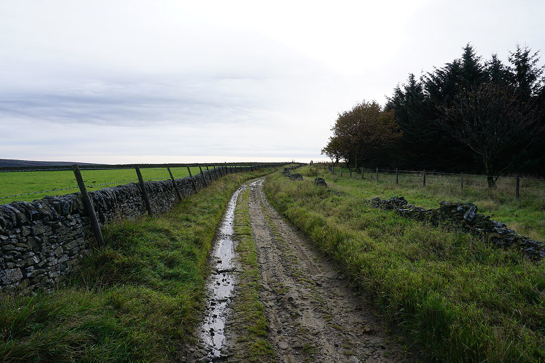
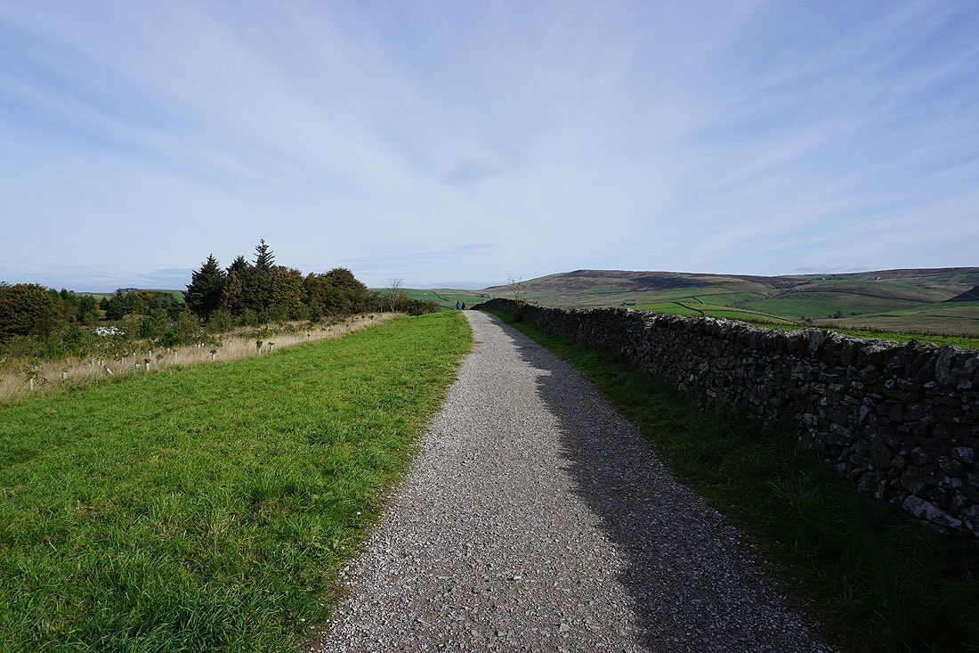
Setting off from the car park at Tegg's Nose Country Park I took the bridleway down the hill to Clough House, then from there the byway up Hacked Way Lane to Charity Lane. I then followed the track of Charity Lane southeast to the hamlet of Forest Chapel. A walk along lanes southeast then south brought me to a track at the top of Macclesfield Forest, which I briefly followed south to pick up a concessionary footpath across Buxtors Hill. This met up with a public footpath which took me to the top of Shutlingsloe. After taking a break I left Shutlingsloe by the path southeast down to Wildboarclough. I then walked south along the road past The Crag Inn and took the footpath on the right which I followed across fields to reach the access road for Lower Nabbs Farm. I then walked down the access road and a lane to Greenway Bridge where I took the footpath up to Oakenclough, across High Moor and down to Meg Lane opposite The Hanging Gate pub. After crossing the road I took the footpath from the pub northwest to reach Meg Lane again and after walking a short distance down the road I reached the Gritstone Trail. Following this trail north brought me back to the car park at Tegg's Nose Country Park.
Total ascent: 2359 ft
OS map used: OL24 - The Peak District, White Peak area
Time taken: 6 hrs
Route description: Tegg's Nose Country Park-Clough House-Hacked Way Lane-Charity Lane-Forest Chapel-Buxtors Hill-Shutlingsloe-Wildboarclough-Lower Nabbs Farm-Greenway Bridge-Oakenclough-High Moor-Meg Lane-Gritstone Trail-Tegg's Nose Country Park
The Peak District was again my destination of choice for the best of the weather and for it to last the longest time. I decided to tackle Shutlingsloe from Tegg's Nose Country Park. Starting from there was about as far away as I could sensibly start from, so that I could the most of the shortening daylight hours, and there's a cafe for post-walk refreshments. It was actually sunnier when I left home than when I arrived at Tegg's Nose but that sunshine moved south so that I could enjoy walking in it during the late morning and early afternoon before it clouded over again. With the sunshine and mild temperatures it felt quite warm.
Setting off from the car park at Tegg's Nose Country Park I took the bridleway down the hill to Clough House, then from there the byway up Hacked Way Lane to Charity Lane. I then followed the track of Charity Lane southeast to the hamlet of Forest Chapel. A walk along lanes southeast then south brought me to a track at the top of Macclesfield Forest, which I briefly followed south to pick up a concessionary footpath across Buxtors Hill. This met up with a public footpath which took me to the top of Shutlingsloe. After taking a break I left Shutlingsloe by the path southeast down to Wildboarclough. I then walked south along the road past The Crag Inn and took the footpath on the right which I followed across fields to reach the access road for Lower Nabbs Farm. I then walked down the access road and a lane to Greenway Bridge where I took the footpath up to Oakenclough, across High Moor and down to Meg Lane opposite The Hanging Gate pub. After crossing the road I took the footpath from the pub northwest to reach Meg Lane again and after walking a short distance down the road I reached the Gritstone Trail. Following this trail north brought me back to the car park at Tegg's Nose Country Park.
Route map
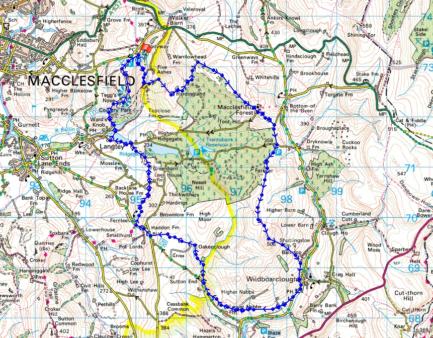
© Crown copyright. All rights reserved. License number PU 100034184.
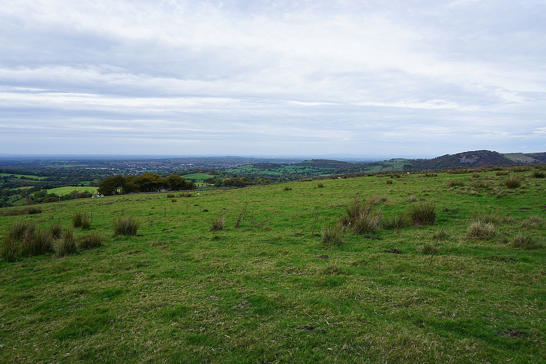
Looking across to Shutlingsloe from the car park at Tegg's Nose Country Park
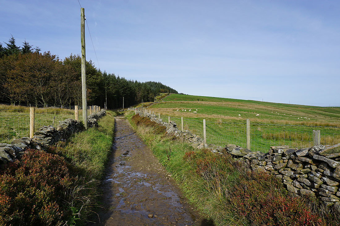
Heading down the bridleway to Clough House
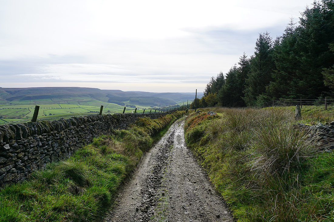
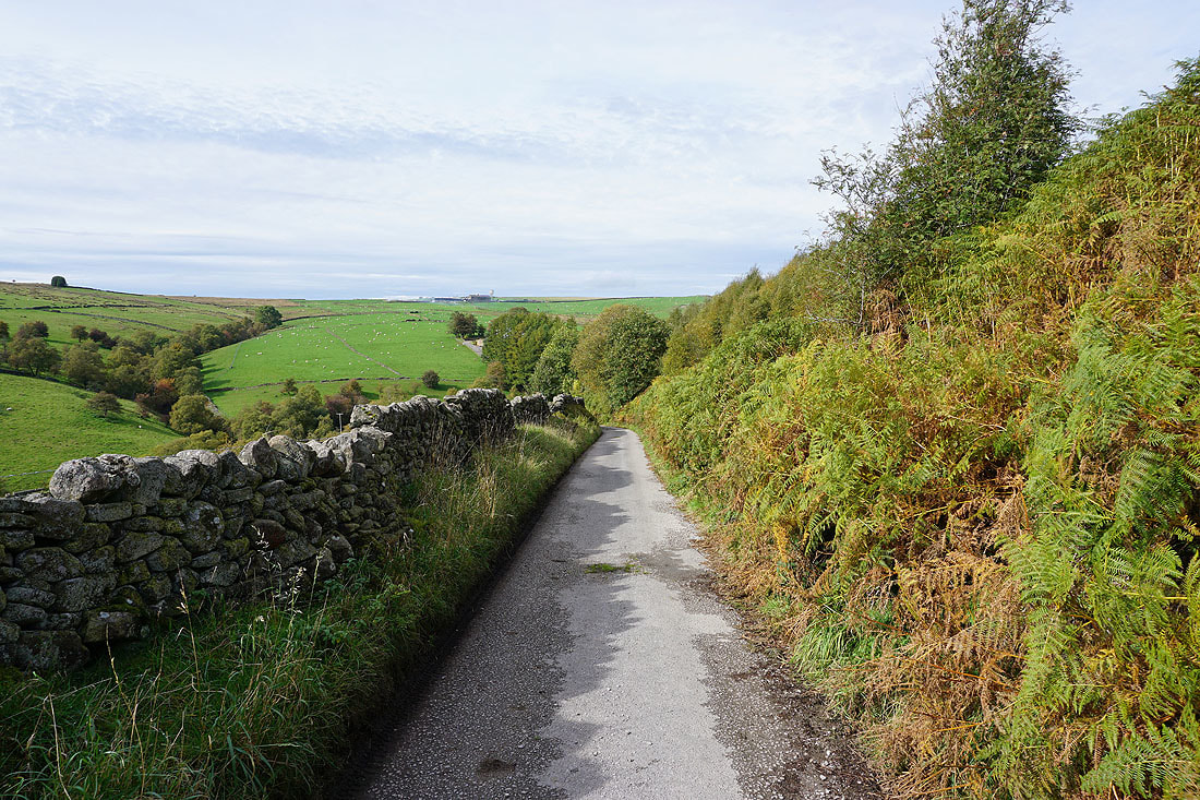
Looking back as I head up Hacked Way Lane
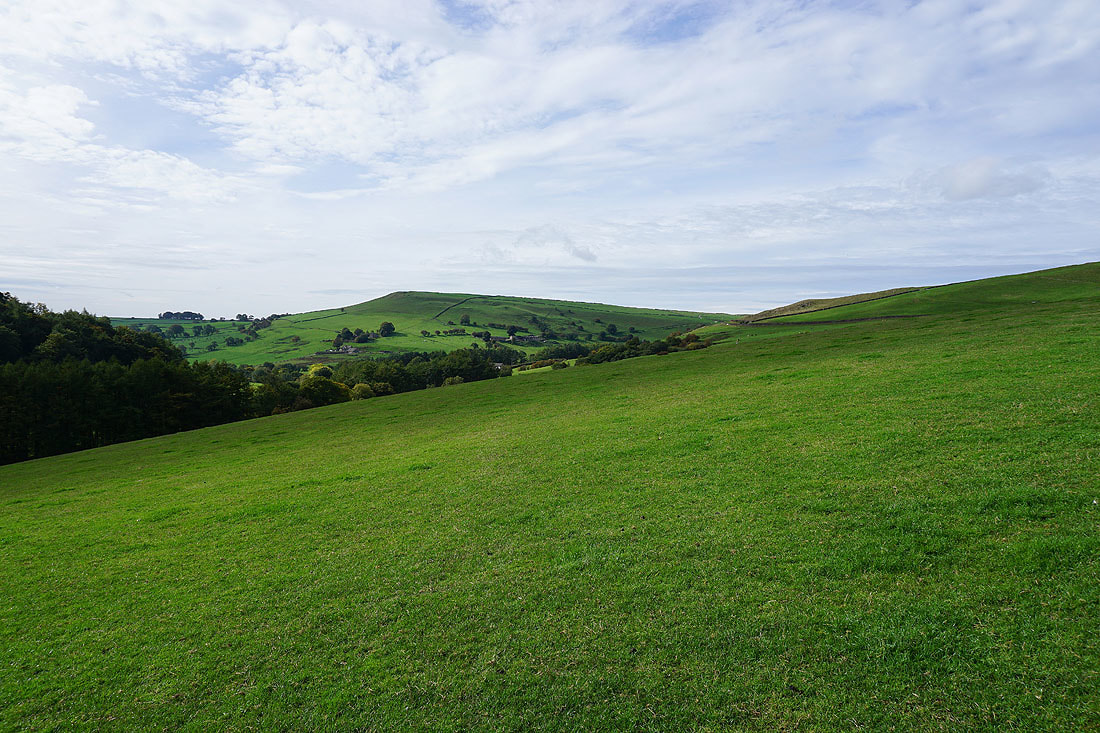
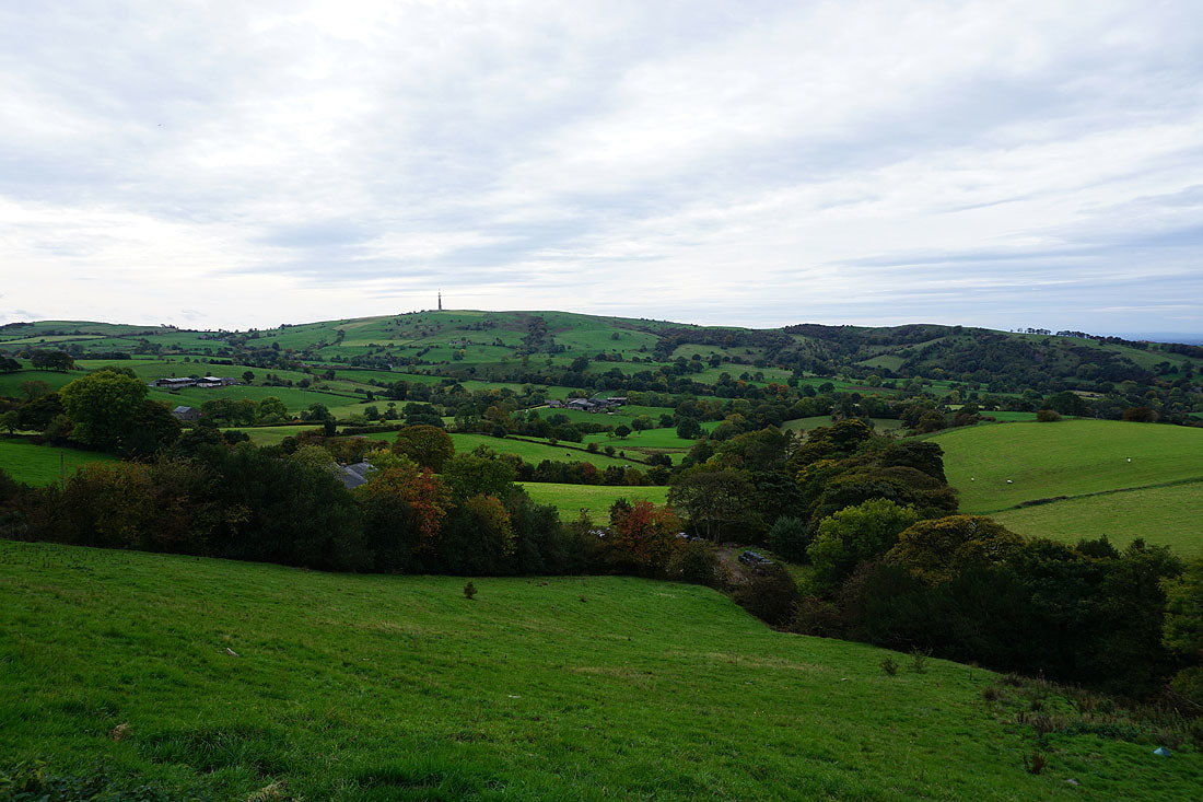
Sutton Common and Tegg's Nose
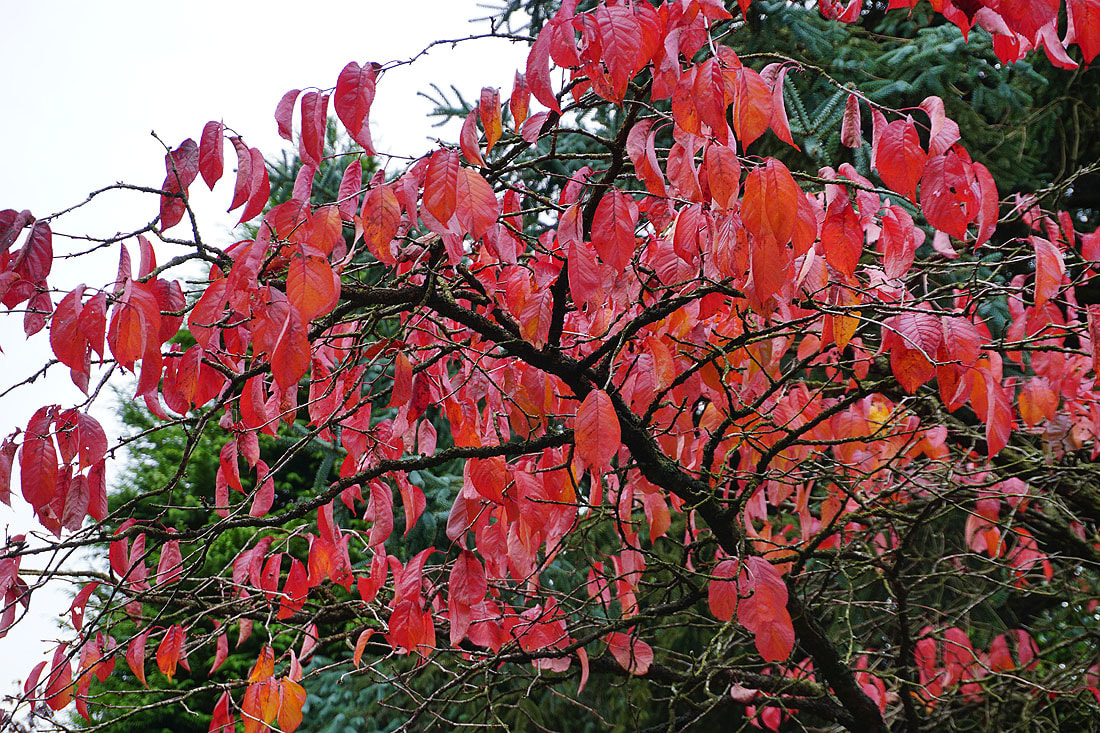
Autumn colours
Tegg's Nose from the top of Hacked Way Lane. I can make out the dark outline of distant hills which I think are those in North Wales.
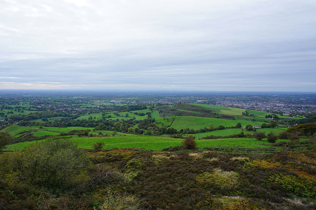
Looking north across Manchester to the West Pennine Moors and South Pennines from the start of Charity Lane
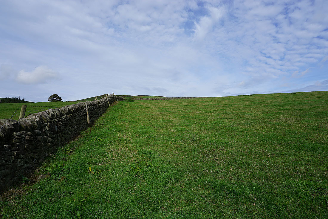
On Charity Lane
Sponds Hill, Windgather Rocks and Cats Tor to the northeast
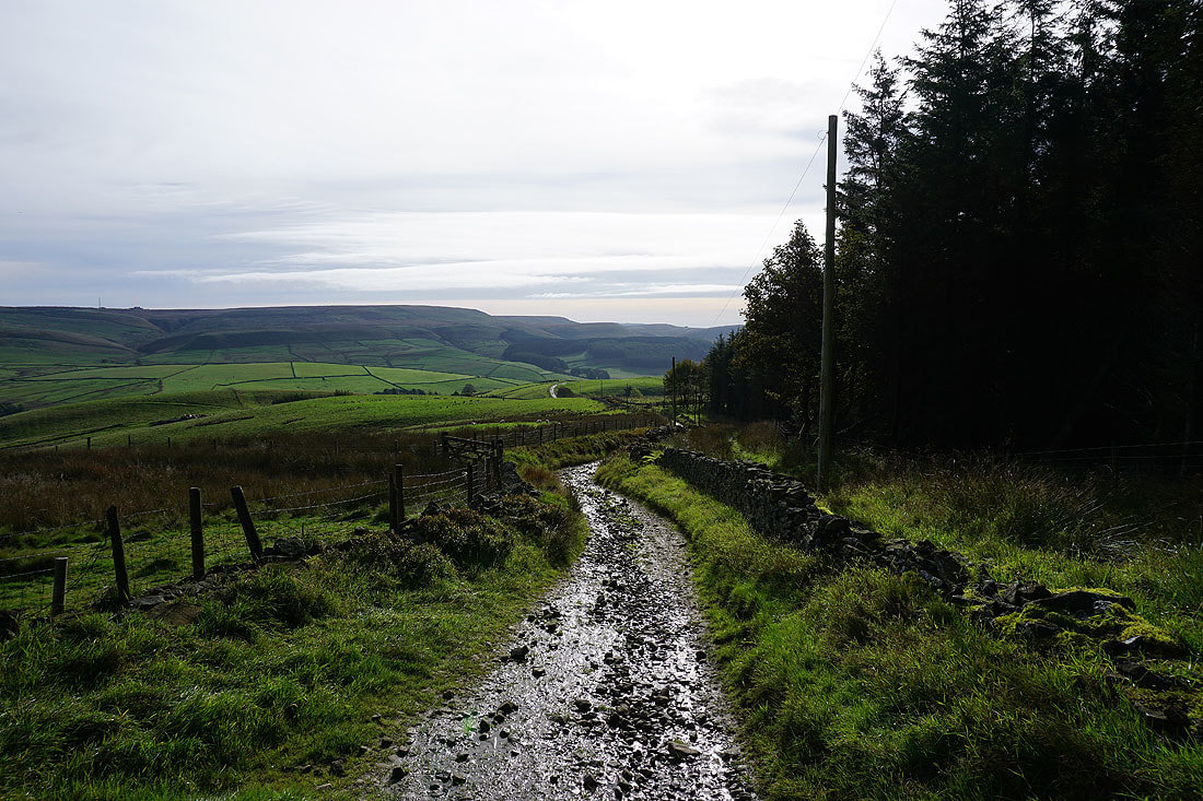
Looking back as I reach the top of Charity Lane
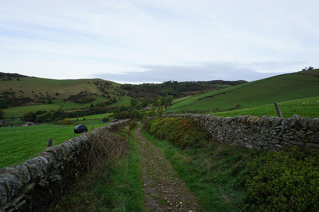
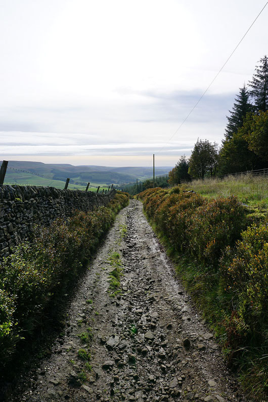
Following Charity Lane down to Forest Chapel...
Andrew's Edge, Cats Tor and Shining Tor from Charity Lane
Looking back up Charity Lane as I reach Forest Chapel
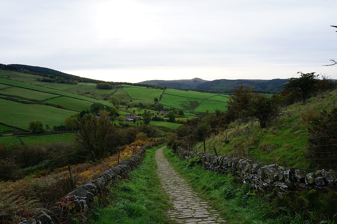
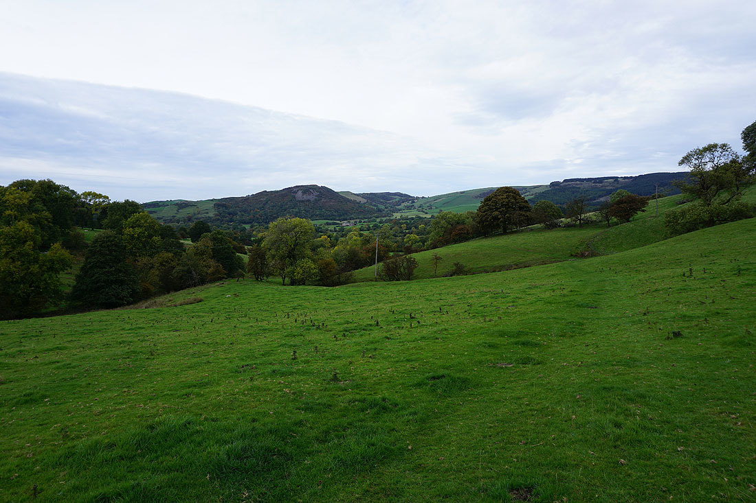
Danebower and Shutlingsloe from Forest Chapel
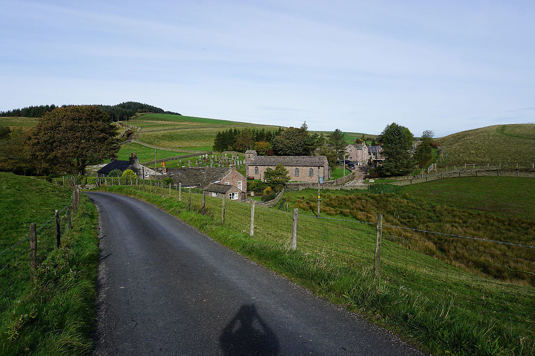
Leaving the hamlet of Forest Chapel
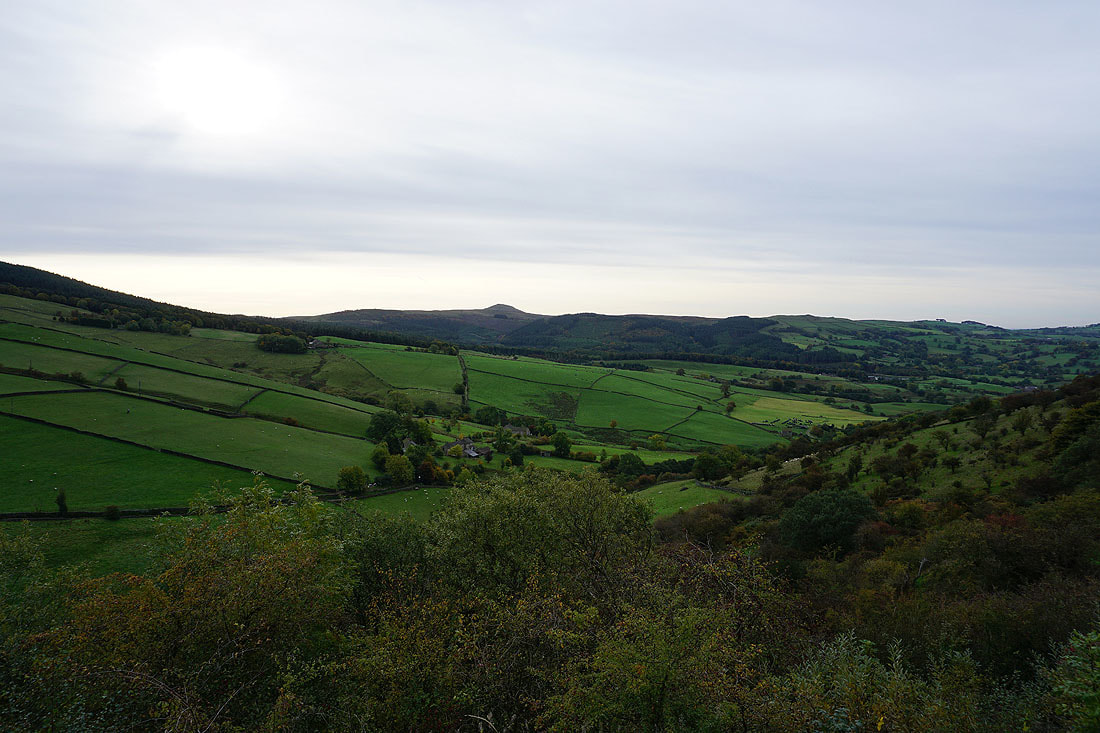
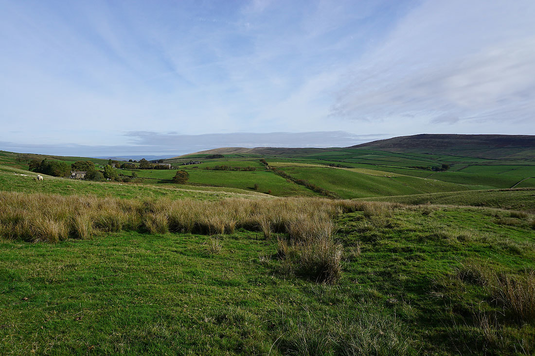
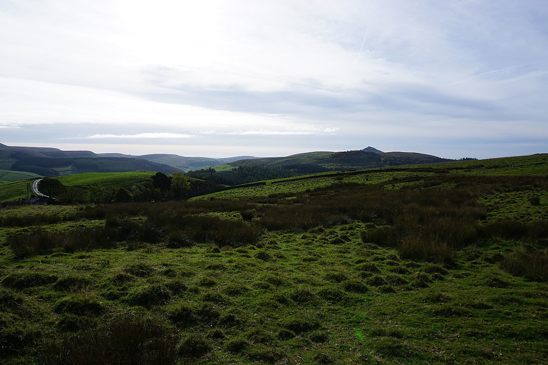
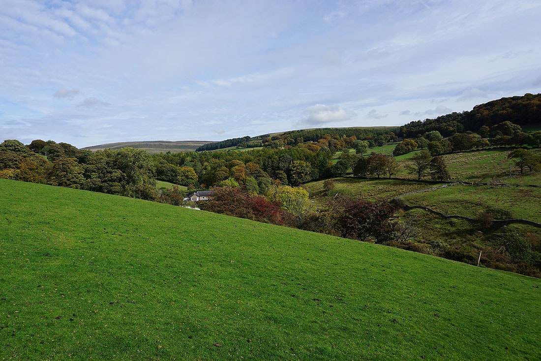
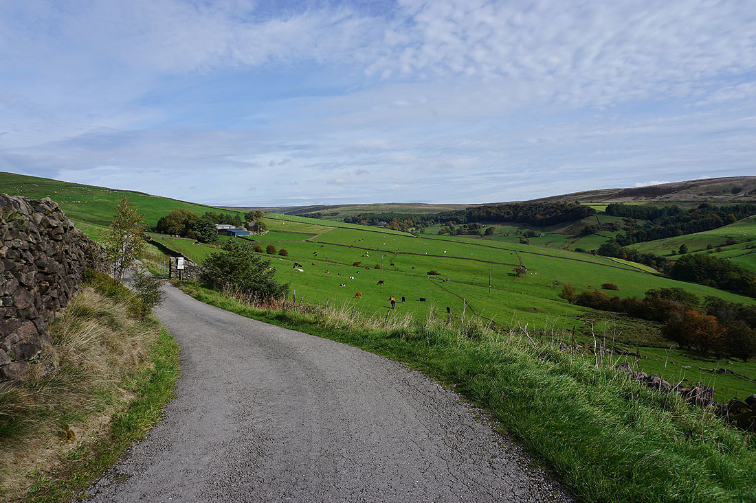
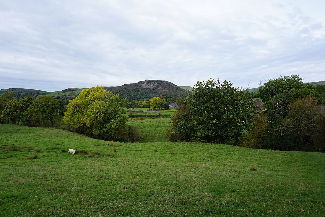
Looking across Wildboarclough
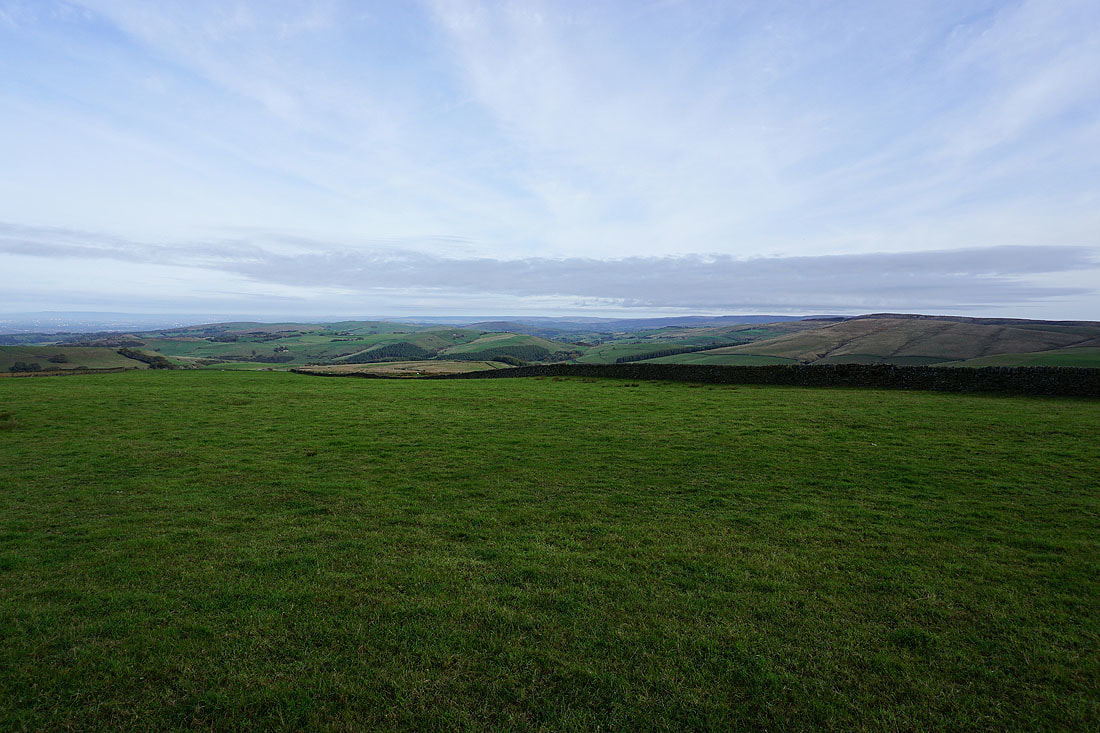
A great view of Shining Tor from the lane at the top of Macclesfield Forest
Looking back from the track at the top of the forest
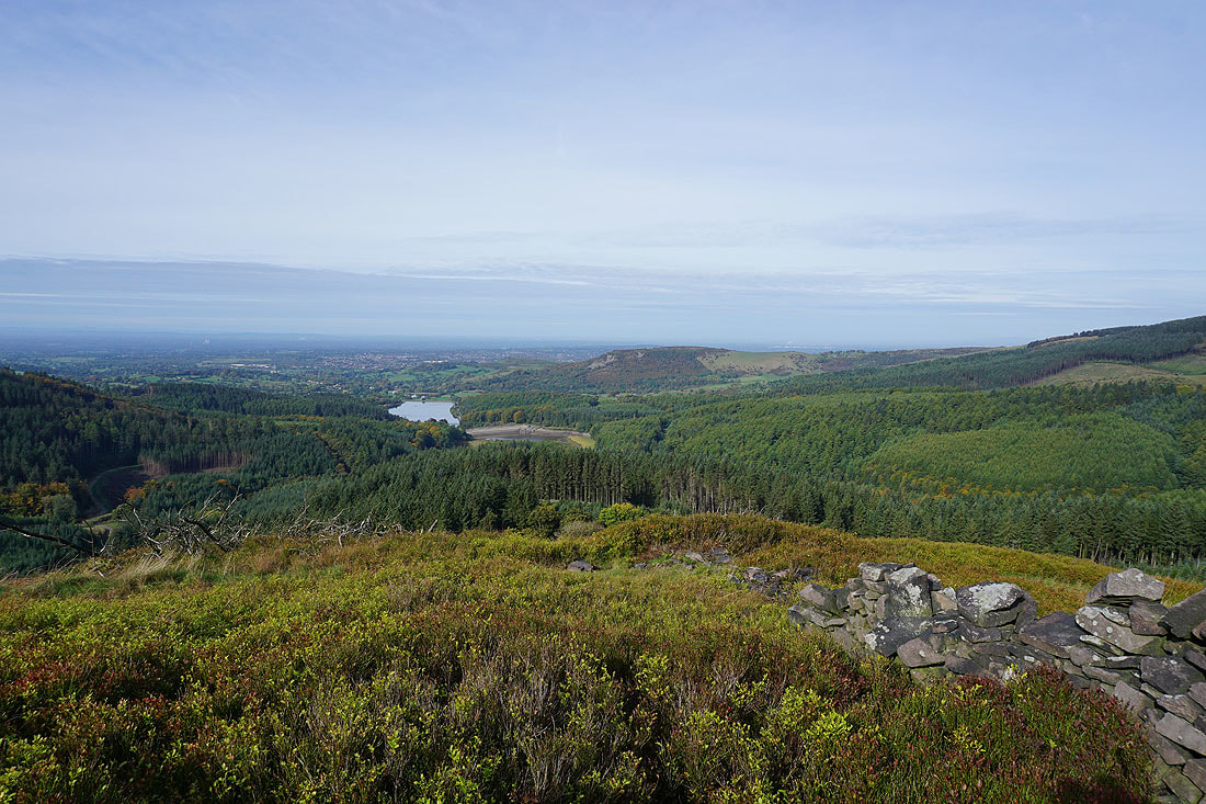
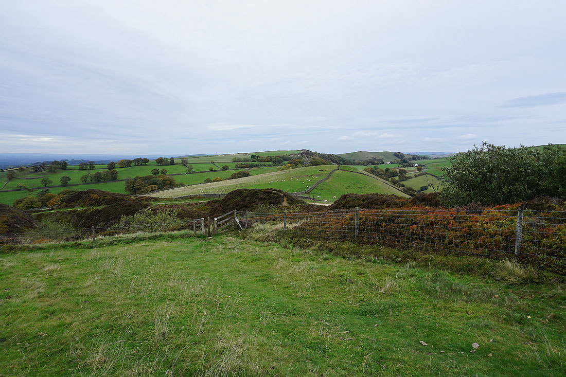
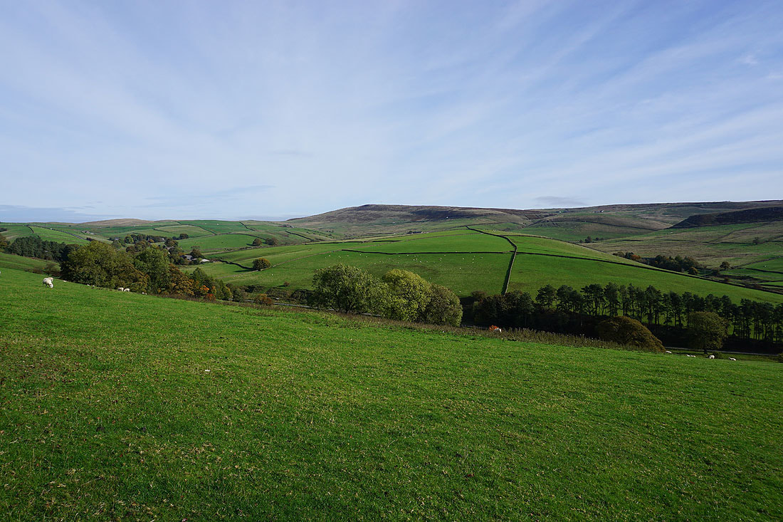
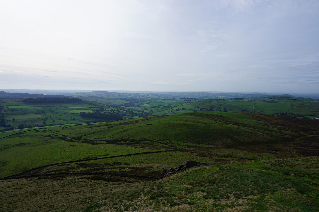
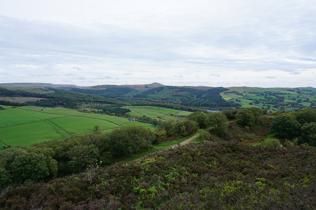
Ridgegate Reservoir, Tegg's Nose and Macclesfield Forest from Buxtors Hill
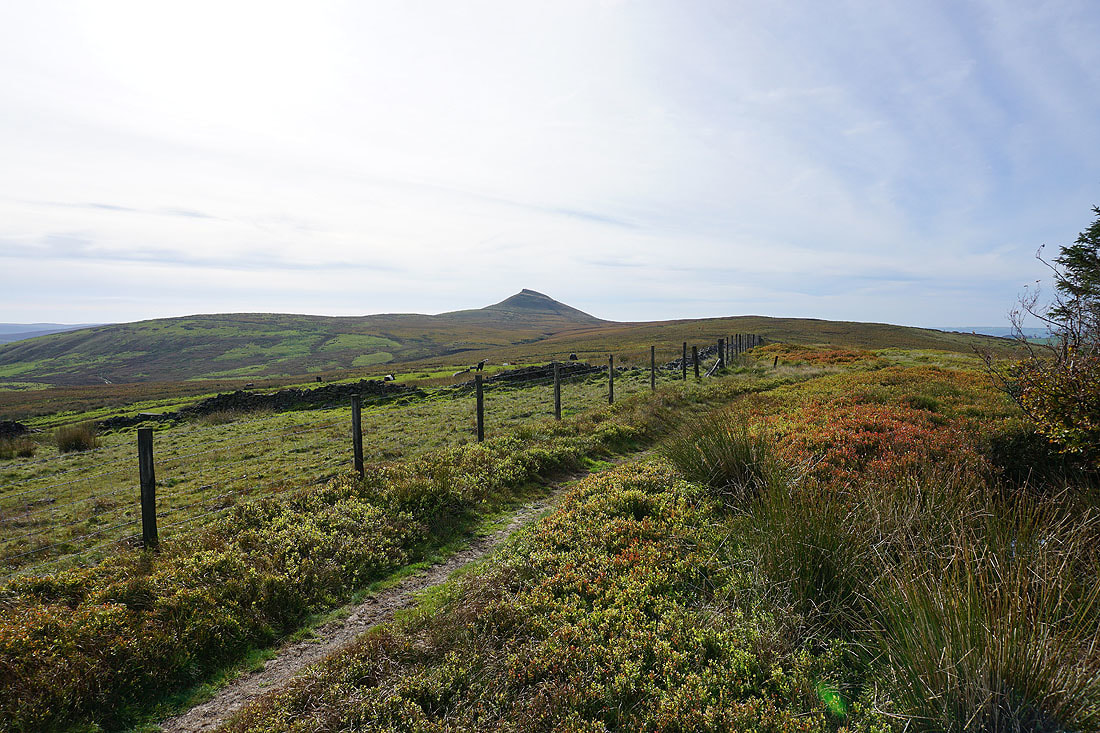
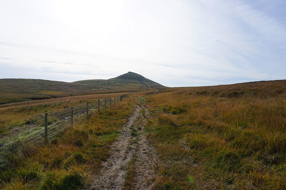
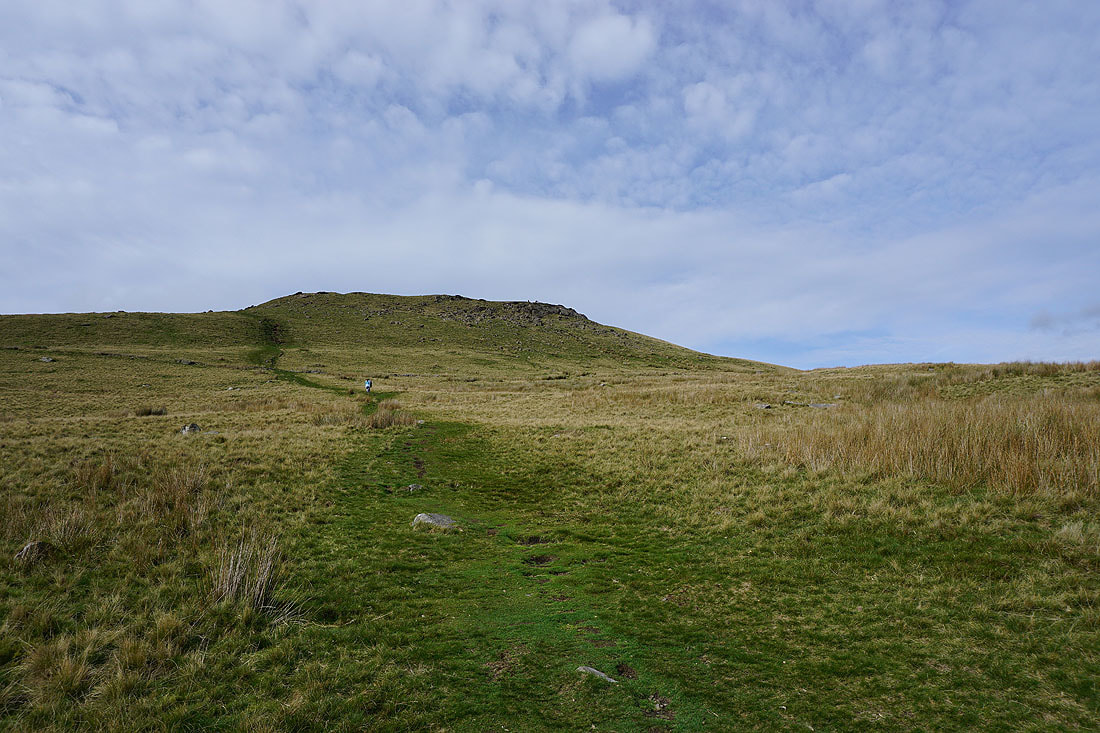
Finally approaching Shutlingsloe, the high point of the walk..
The moorland colours look great this morning..
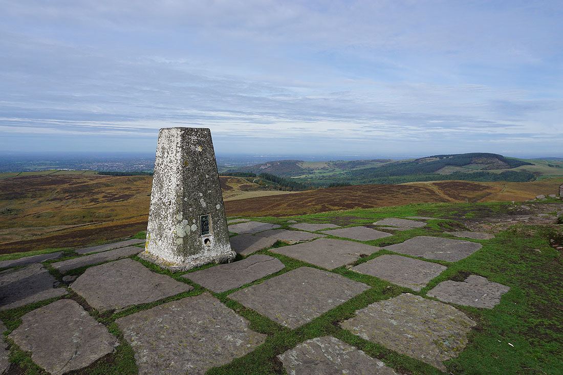
At the trig point on the summit of Shutlingsloe with Macclesfield and Macclesfield Forest behind
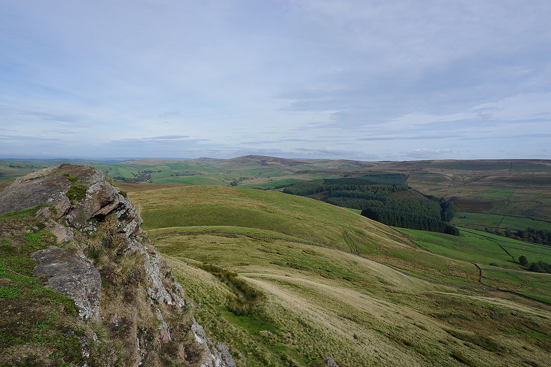
Cats Tor and Shining Tor to the north
Cumberland Clough on the other side of Wildboarclough
The moorland around Wildboarclough and south to The Roaches..
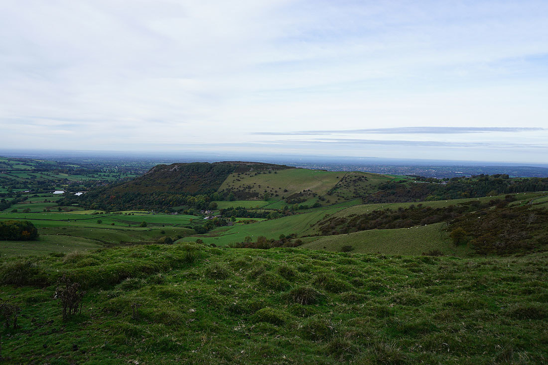
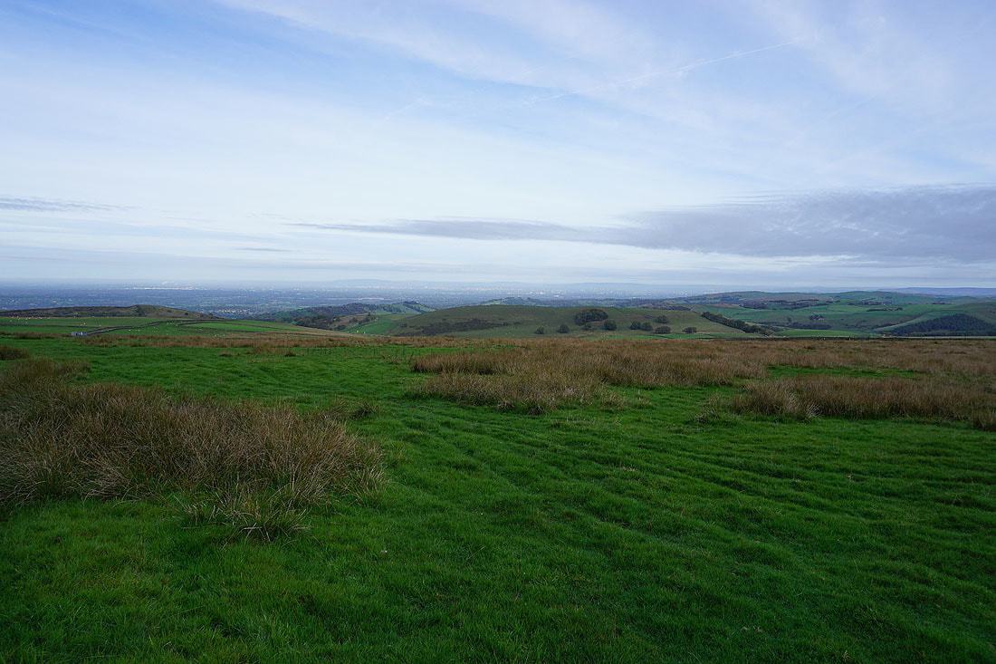
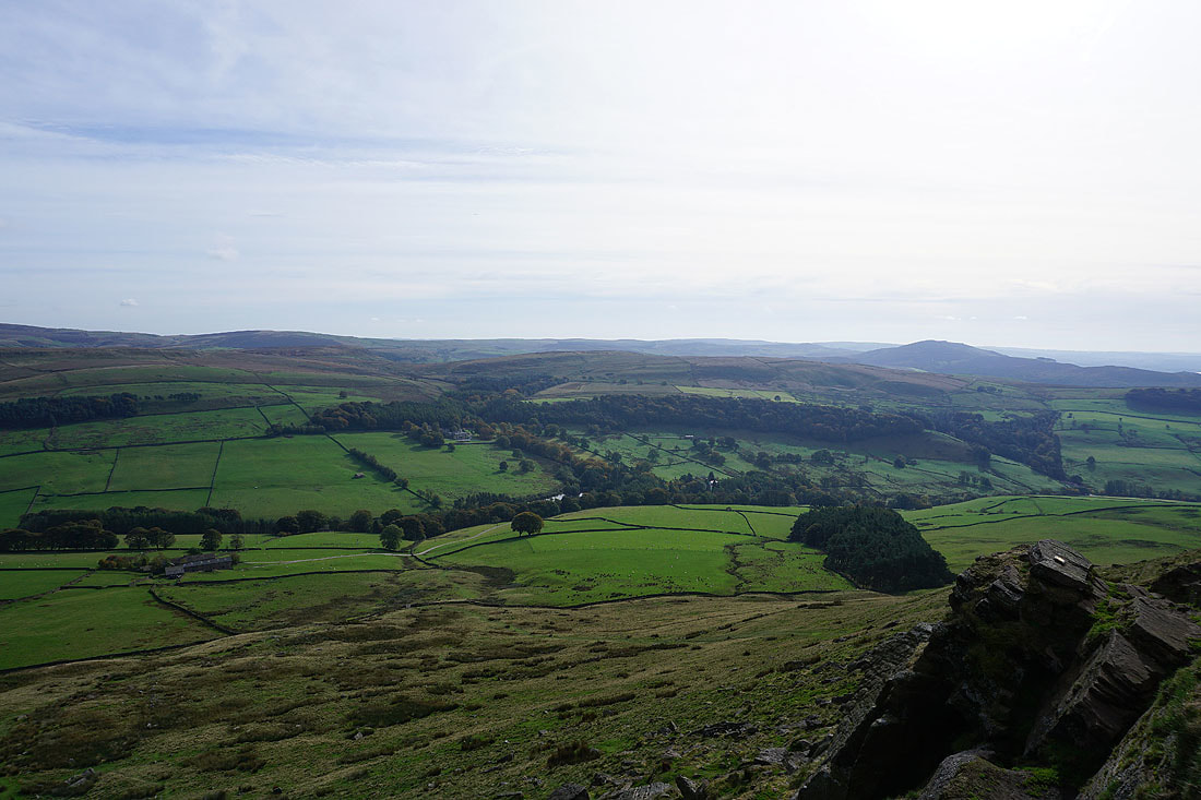
Distant views into Staffordshire..
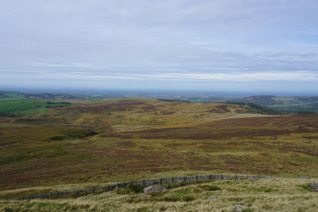
..and across Cheshire
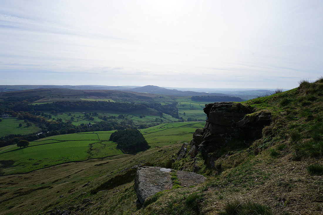
Great looking sky as I head down from the summit
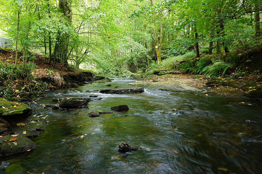
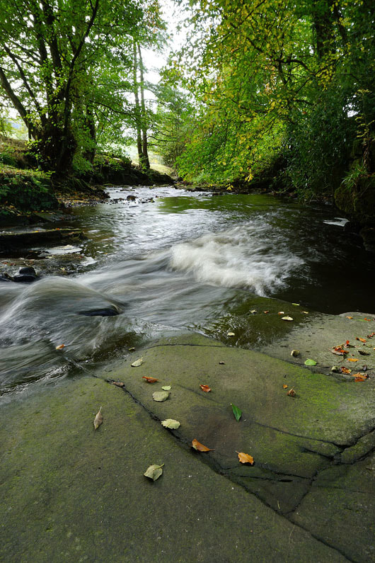
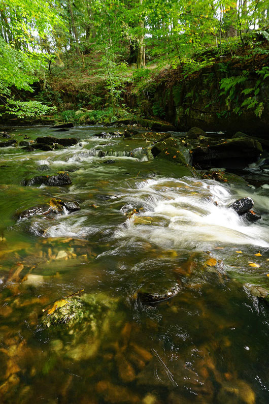
Clough Brook in Wildboarclough
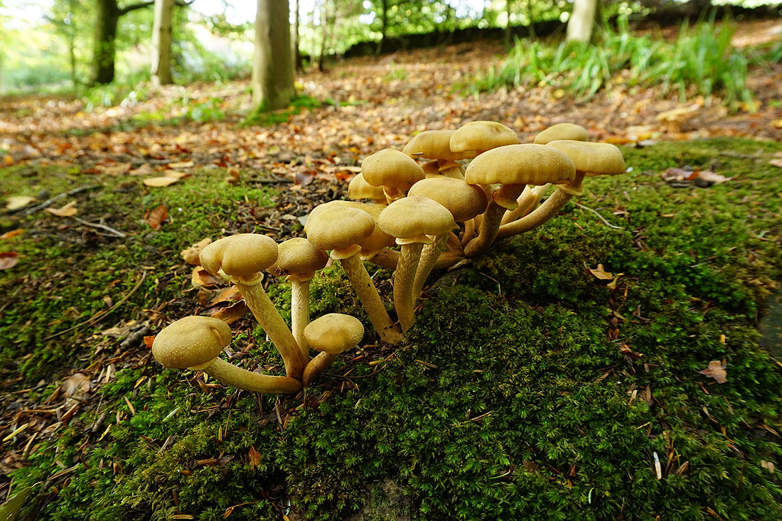
Honey fungus
|
|
More photos of Clough Brook..
Leaving the autumn colours of Wildboarclough..
..for fields south of Shutlingsloe, with the hill of Hammerton Knowl in front of me
Great looking sky above me
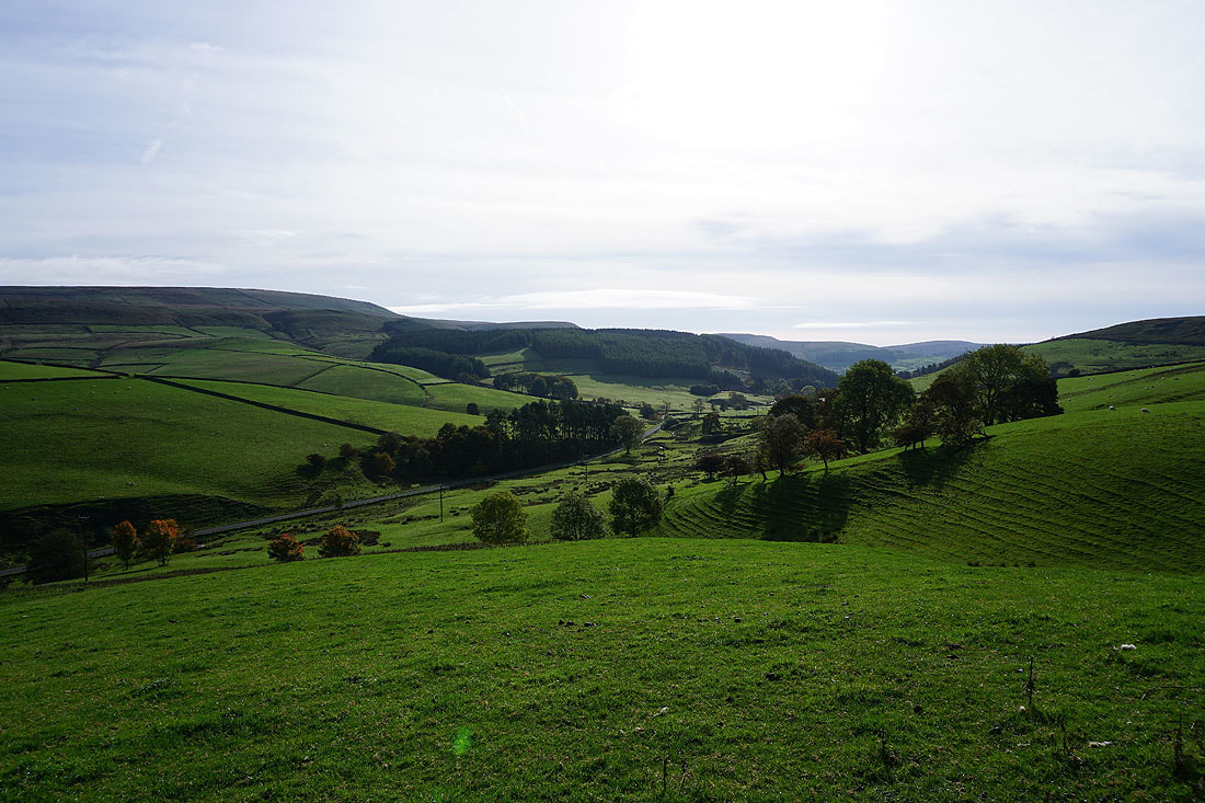
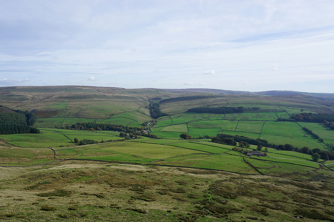
Looking back towards Wildboarclough as the footpath reaches the access road for Lower Nabbs Farm
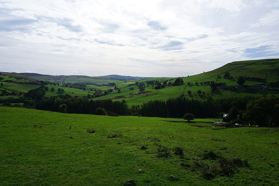
Looking south down the valley of Clough Brook
Heading down to Greenway Bridge
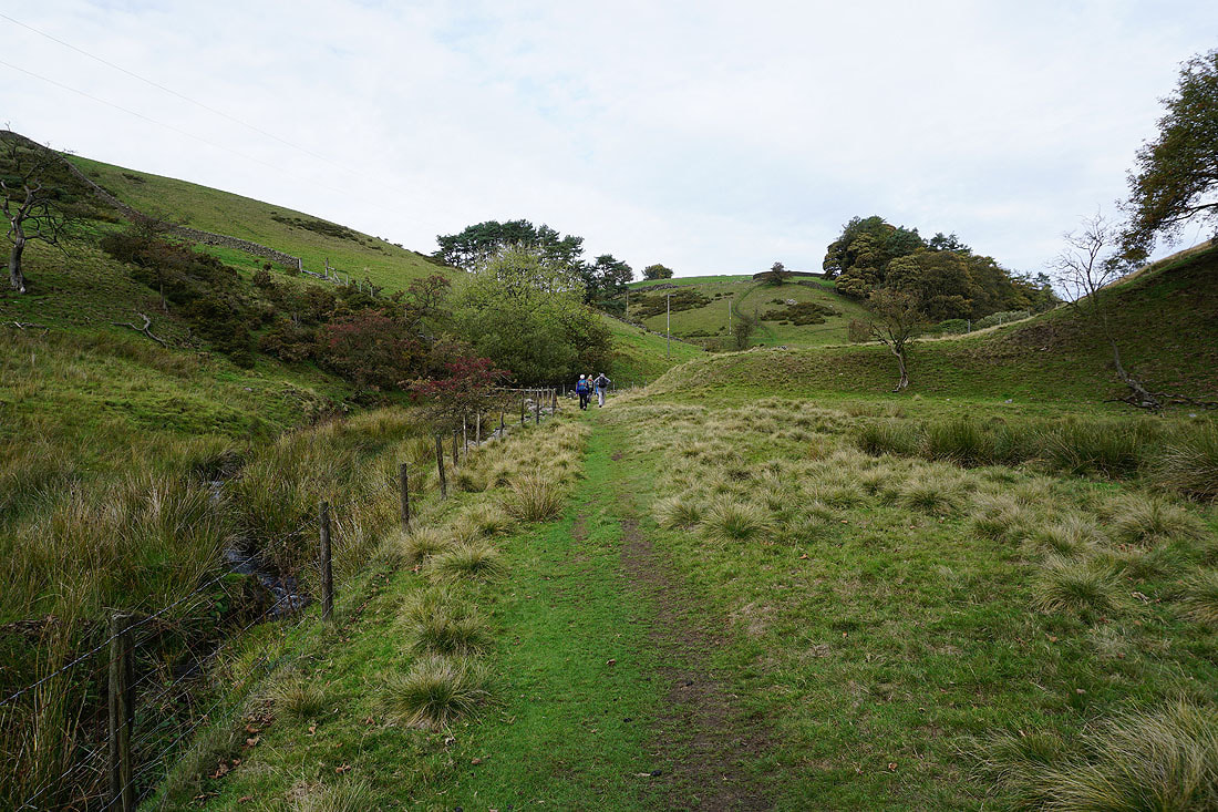
On the footpath by Oaken Clough
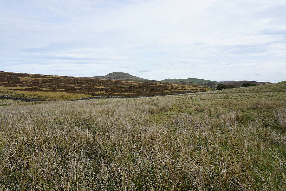
Shutlingsloe as the path crosses High Moor
A view ahead to Fox Bank..
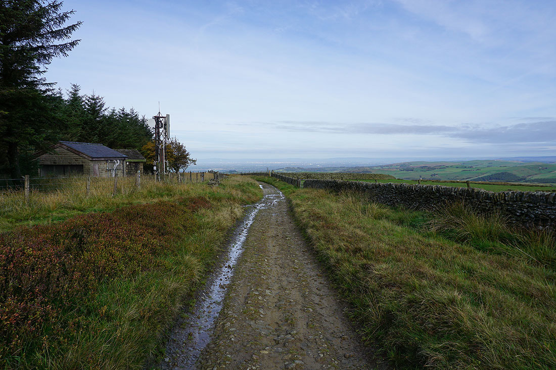
..and across to Macclesfield and Tegg's Nose from the path down to the road at The Hanging Gate pub (currently closed)
The radio mast on Sutton Common from the roadside at The Hanging Gate pub
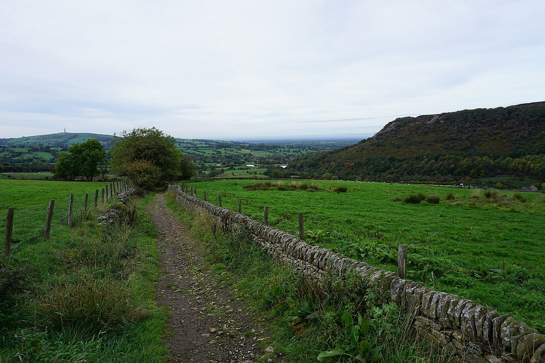
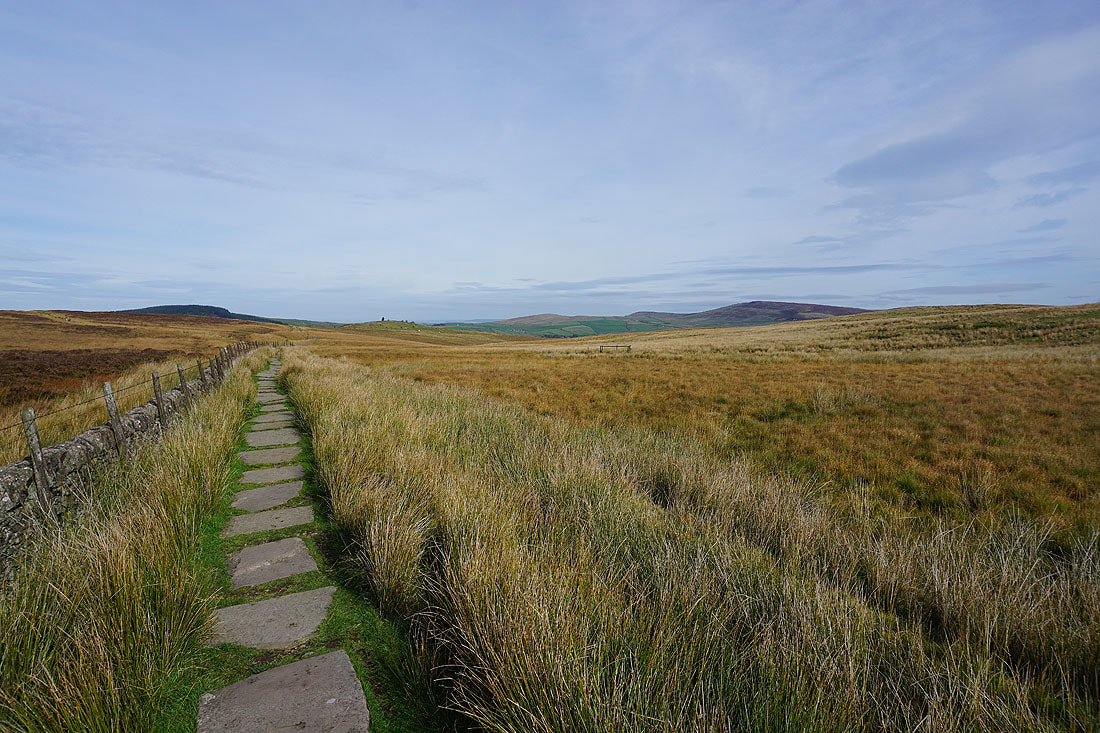
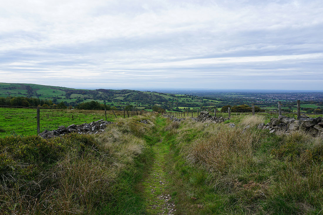
Tegg's Nose as I follow the Gritstone Trail north..
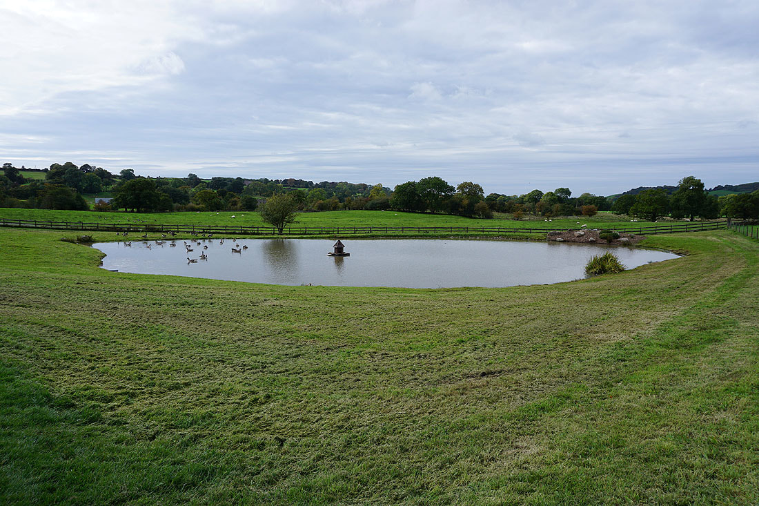
Past an ornamental pond
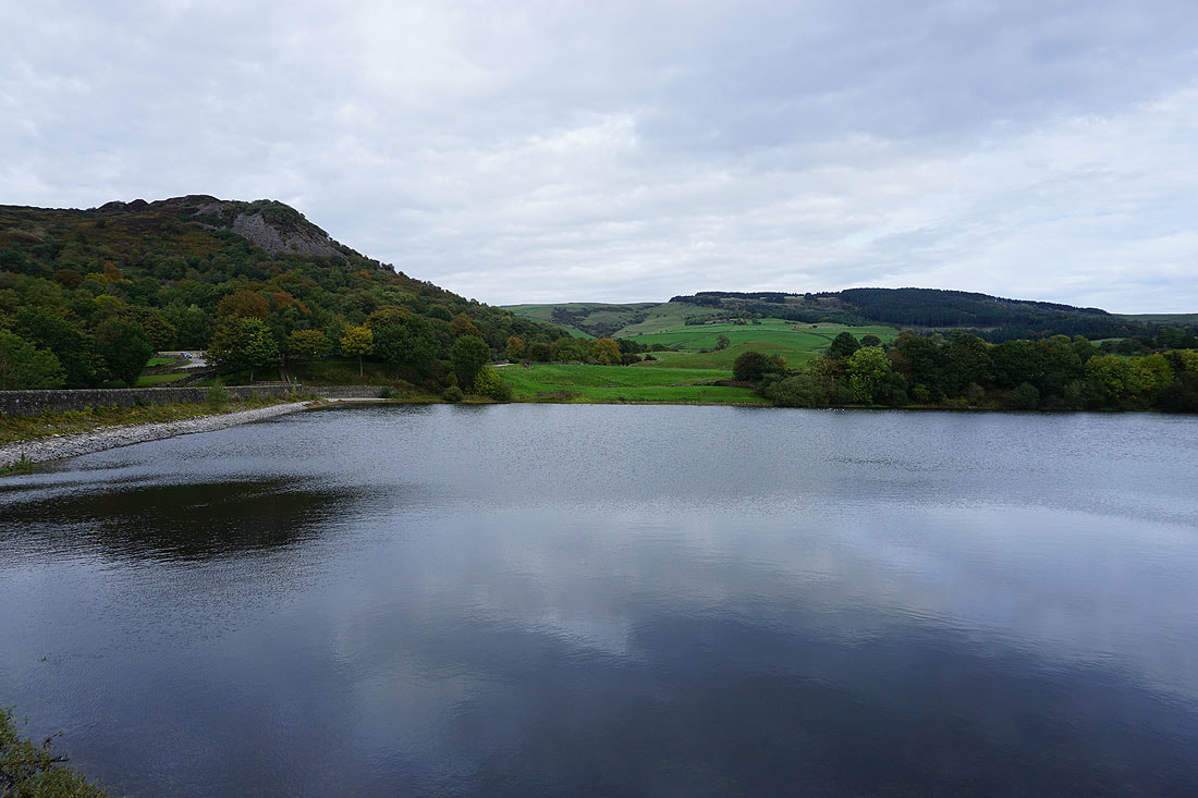
Tegg's Nose and Bottoms Reservoir..
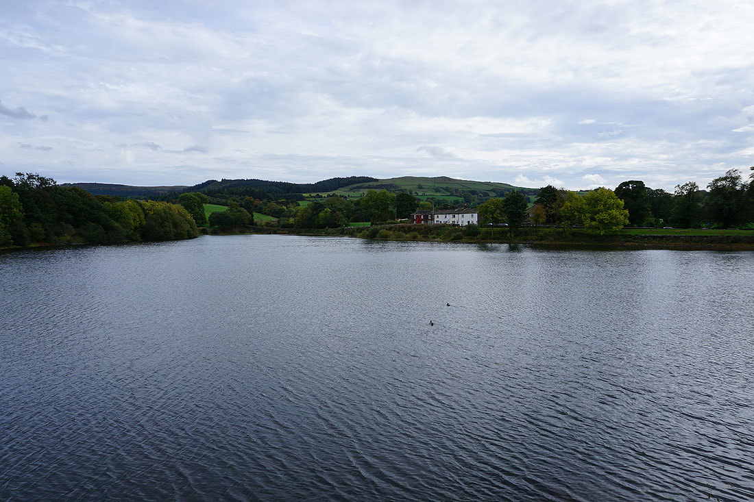
Teggsnose Reservoir, Bottoms Reservoir and Langley from Tegg's Nose
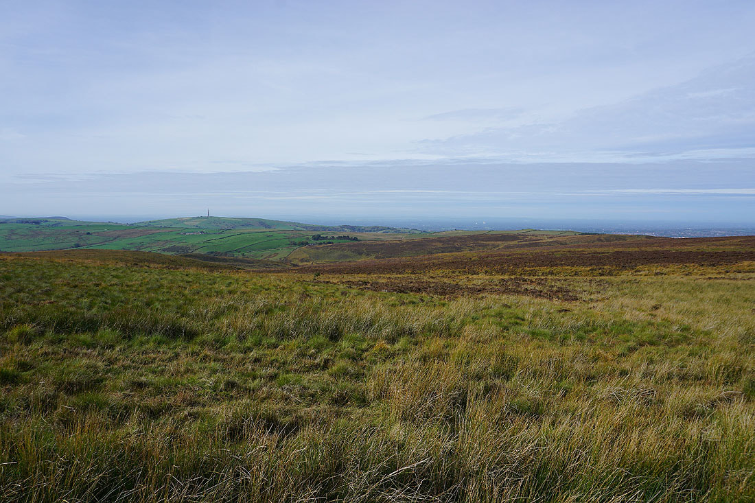
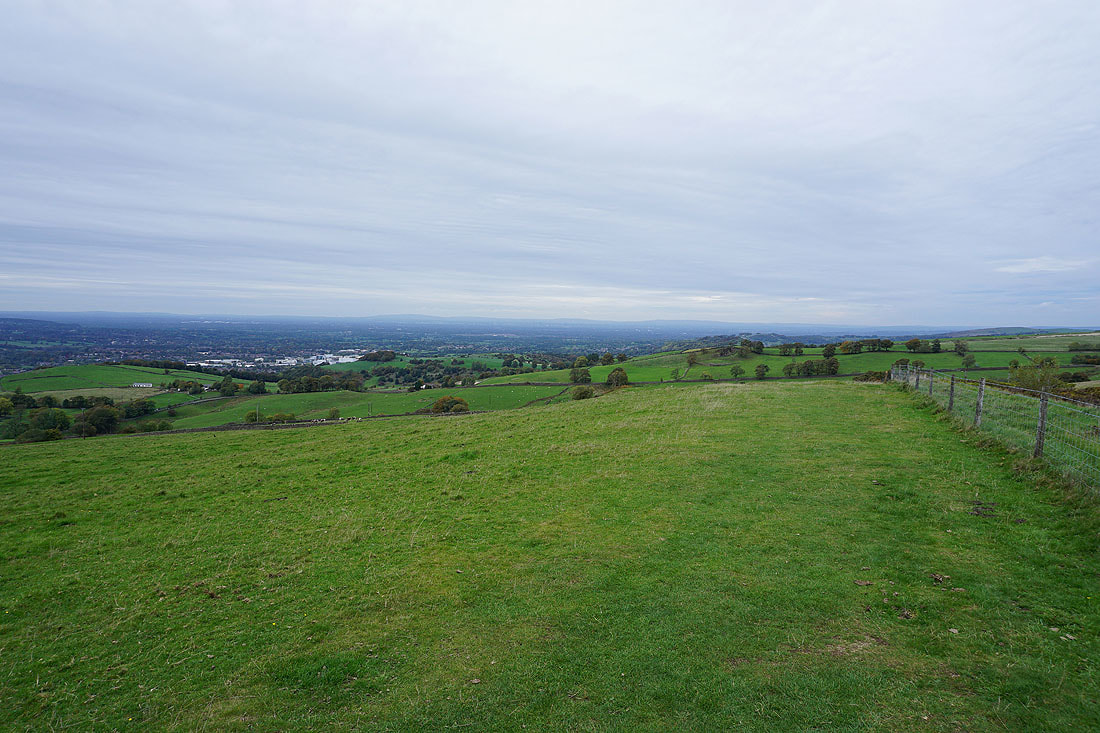
Looking west across Macclesfield
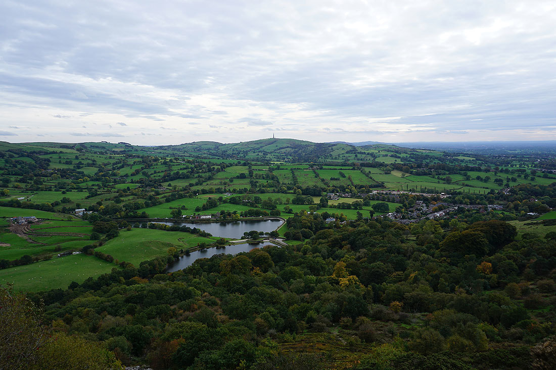
Shutlingsloe from Tegg's Nose
The West Pennine Moors and South Pennines way in the distance as I follow the path north back to the car park..