7th October 2023 - Extwistle Moor and Widdop
Walk Details
Distance walked: 11.2 miles
Total ascent: 1716 ft
OS map used: OL21 - South Pennines
Time taken: 6 hrs
Route description: Hurstwood-Cant Clough Reservoir-Pennine Bridleway-Hurstwood Reservoir-Burnley Way-Brown Edge-Gorple Road-Swinden-Swinden Bridge-Bronte Way-Sweet Well House-Pennine Bridleway-Extwistle Moor-Burnley Way-Pennine Bridleway-Gorple Road-Worsthorne-Burnley Way-Hurstwood Lane-Hurstwood
There's some reasonable autumn weather forecast for this weekend, so I've decided to head out for a walk on both days, and in each case I'll be doing a route close to home in the South Pennines. Today's walk is a variation of one that has become a bit a favourite of mine that involves crossing the moors to the east of Burnley to the top of Hebden Dale and back, on this occasion I varied the route by starting from the village of Hurstwood. That meant I was able to take in some footpaths and bridleways that I hadn't used before, taking me north from Hurstwood to Swinden, and up to the Pennine Bridleway above the Thursden Valley. Most of them were fairly easy to follow, but the section from Gorple Road to Swinden was very muddy, so I'll have second thoughts about going that way again. I set off from Hurstwood at about 1100 under cloudy skies but during the afternoon it brightened up to give quite a bit of warm hazy sunshine.
After parking my car at the picnic site in Hurstwood I set off by taking the footpath up the track to Cant Clough Reservoir, then from there I took the Pennine Bridleway north to Hurstwood Reservoir. After crossing the dam of the reservoir, and the footbridge over its overflow, I joined the Burnley Way to briefly head uphill before taking a footpath on the left north across fields (and across Gorple Road), and down to Swinden and Extwistle Road. I then walked down Extwistle Road to Swinden Bridge where I joined the Bronte Way, which I followed up the track to Swinden Reservoirs, and then north up to Sweet Well House. Just past Sweet Well House I left the Bronte Way and took a footpath east across the northern slopes of Delf Hill to reach the Pennine Bridleway above the Thursden Valley. I then followed the Pennine Bridleway south up onto Extwistle Moor, then took the footpath east across the moor to reach the road to Heptonstall. After a brief walk down the road I left it for the Burnley Way on the right, which I followed south across the hillside above Widdop Reservoir to the Pennine Bridleway. I then made my way west along the Pennine Bridleway (with a short detour to Gorple Stones), and then down Gorple Road into Worsthorne. I left Gorple Road for a footpath on the left along Stanworth Street, turning right to walk past the church of St. John the Evangelist to Church Square, then left along Green Terrace to pick up the Burnley Way which I followed south across fields to Hurstwood Lane. A walk south along Hurstwood Lane took me back to Hurstwood and the picnic site where I'd parked my car.
Route map
© Crown copyright. All rights reserved. License number PU 100034184.
I leave Hurstwood by taking the footpath up to the dam of Cant Clough Reservoir
Looking across Cant Clough Reservoir to the moorland of Black Hameldon
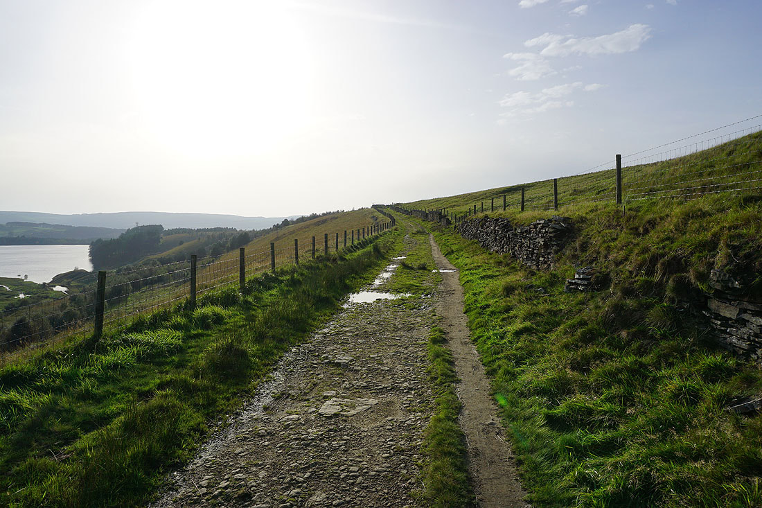
From Cant Clough Reservoir I follow the Pennine Bridleway to Hurstwood Reservoir
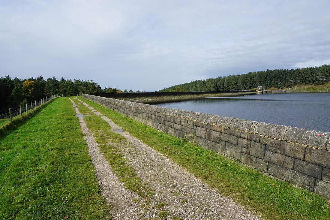
Crossing the dam of Hurstwood Reservoir

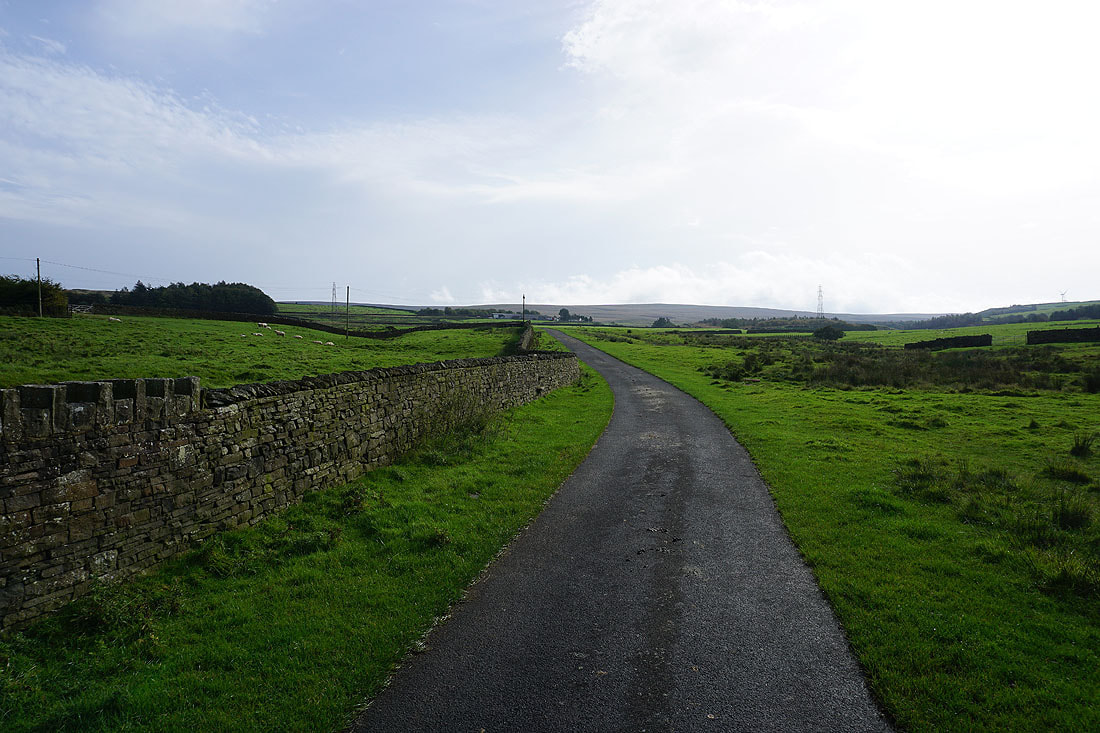
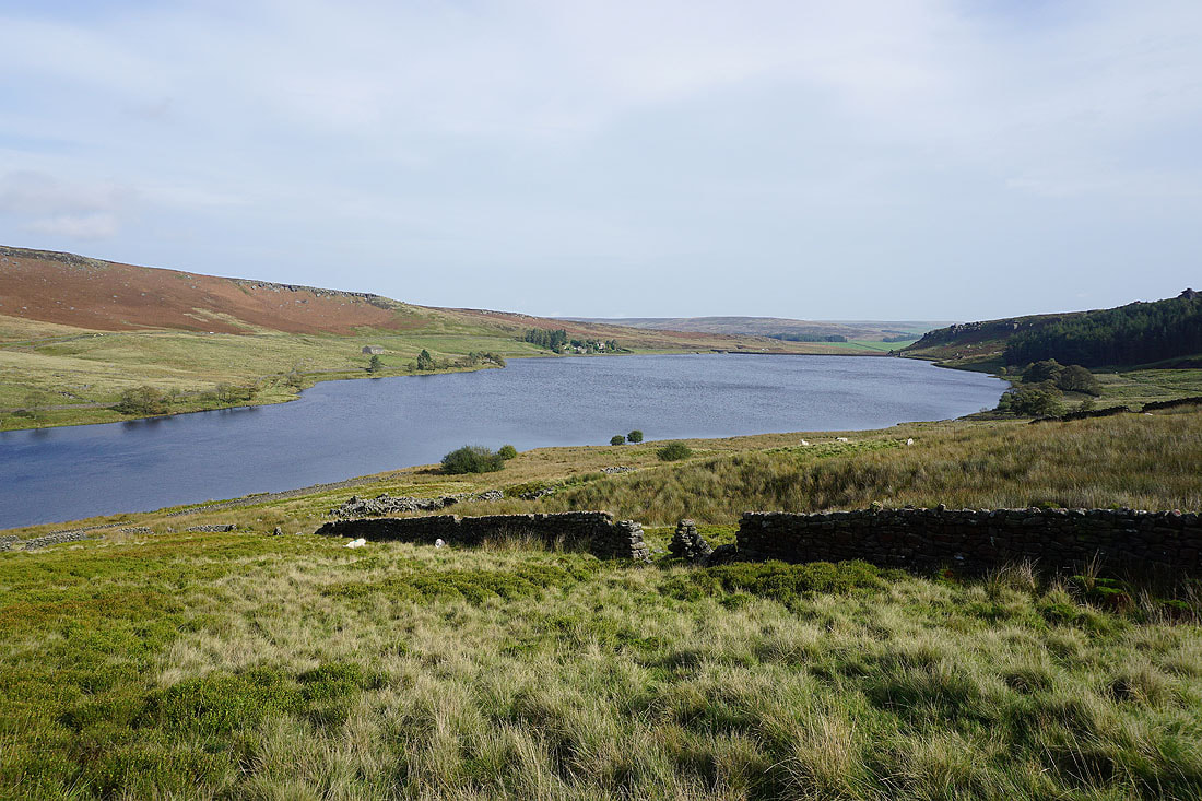
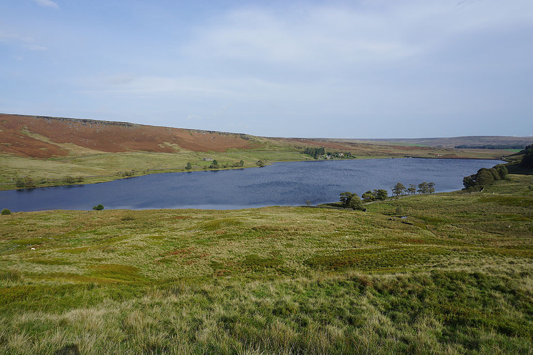
Views across a full Hurstwood Reservoir..

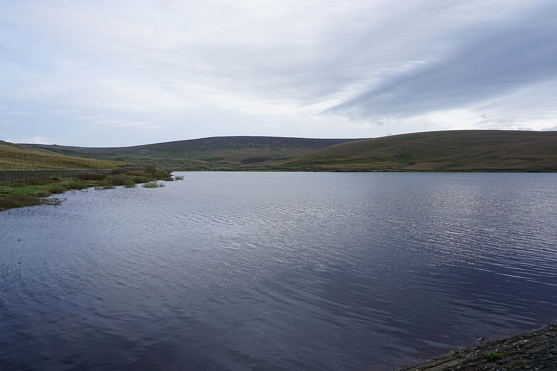
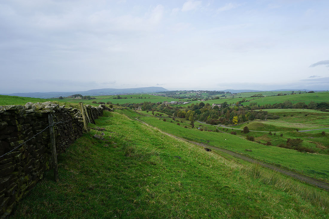
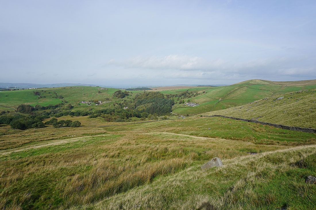
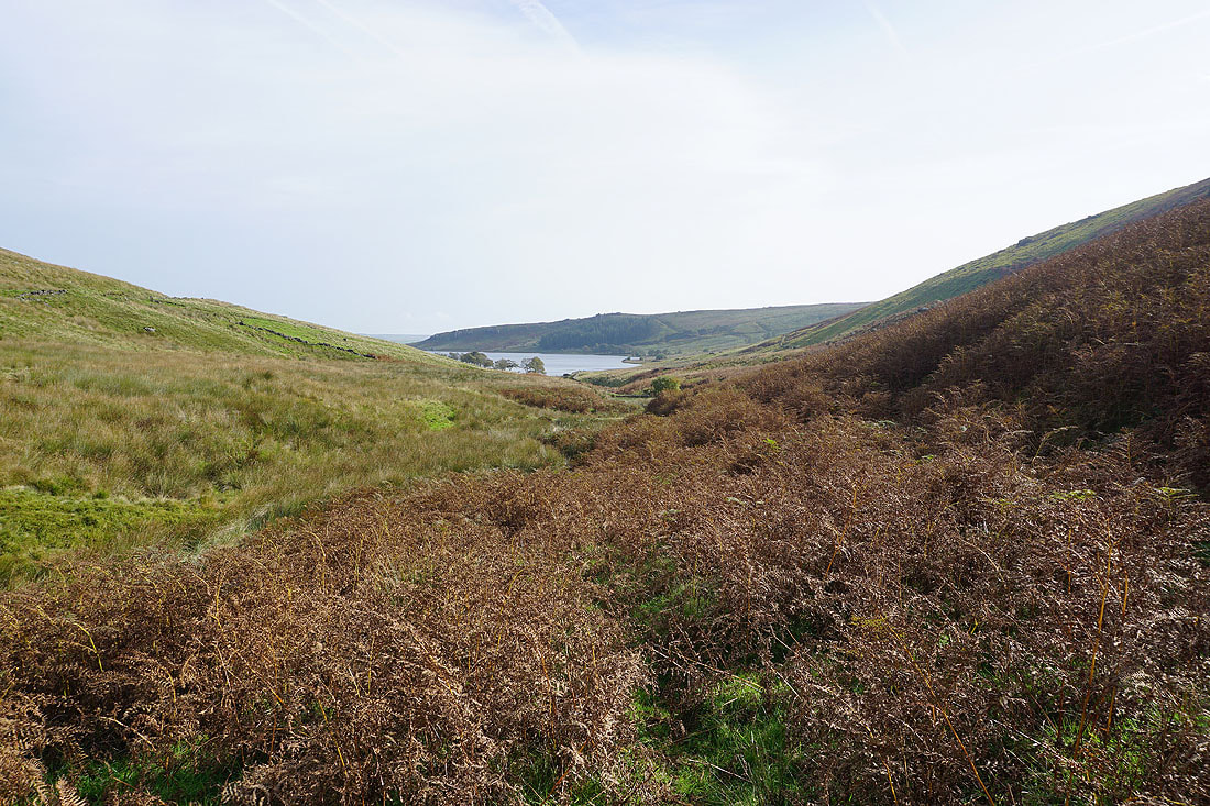
From Hurstwood Reservoir I follow a footpath north across fields to Swinden..
To my left I have a view across the rooftops of Burnley to Pendle Hill
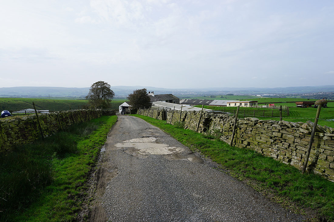
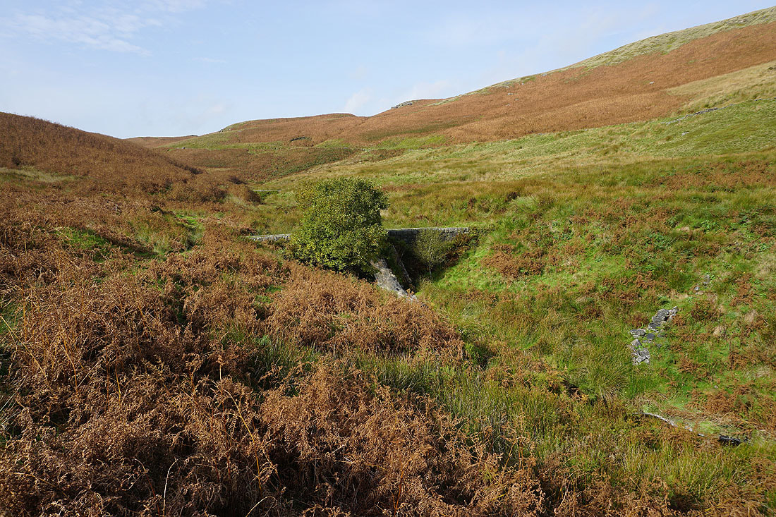
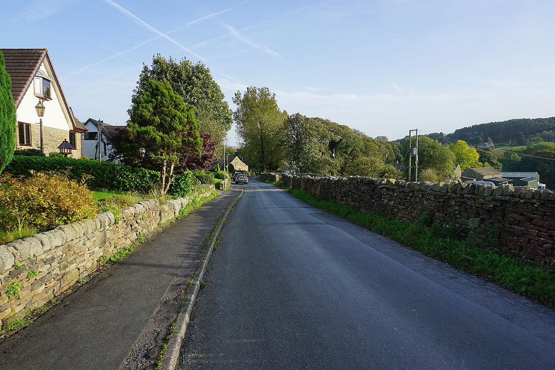
Heading down to Extwistle Road
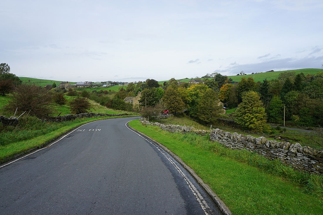
and then down Extwistle Road to Swinden Bridge
From Swinden Bridge I take the Bronte Way up the track to Swinden Reservoirs

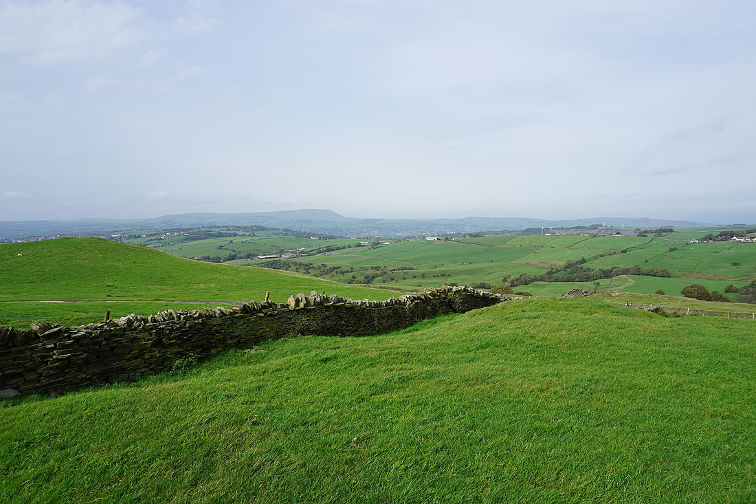
Looking across Ing Hey to Extwistle Hill
Following the Bronte Way up to Sweet Well House..
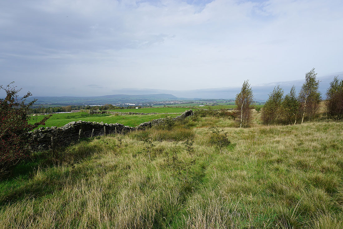
Just past Sweet Well House I leave the Bronte Way for a footpath along a track across the northern slopes of Delf Hill. Looking across the Thursden Valley to Pendle Hill..

..and to Thursden and the western end of Boulsworth Hill
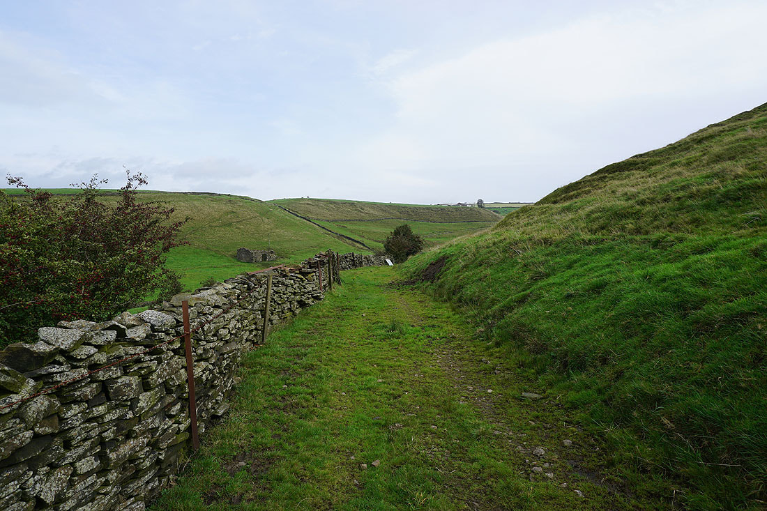
It's easy to keep to the footpath at the moment as it crosses the hillside, until it reaches a ruined building...


I have a great view across the Thursden Valley. There's a bit of autumn colour in the trees as the leaves start to turn..
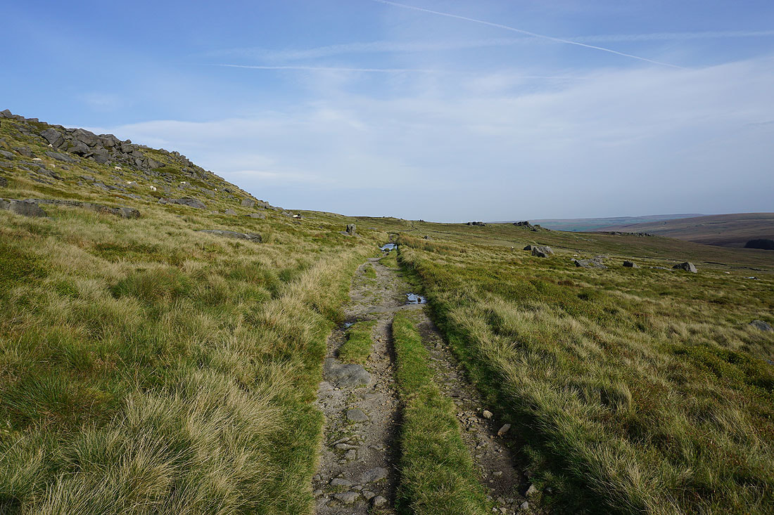
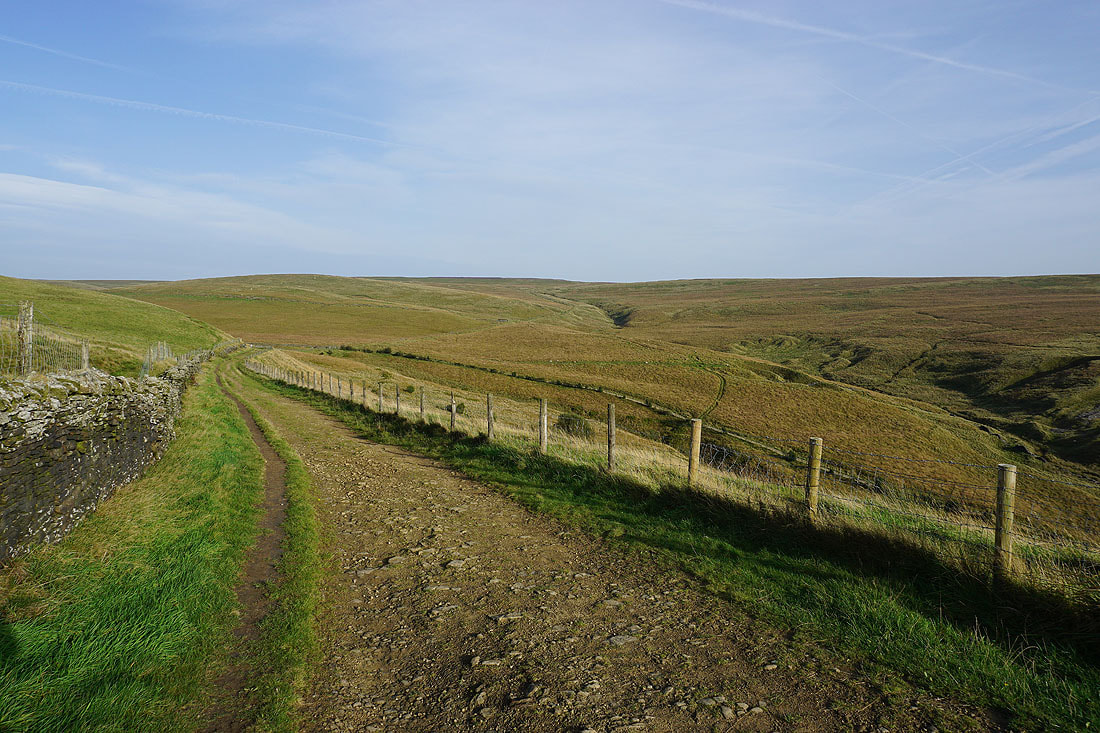
Onto the Pennine Bridleway, and heading south up onto Extwistle Moor
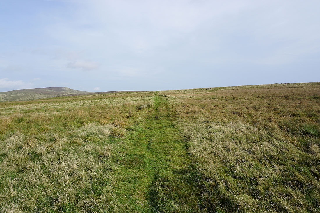
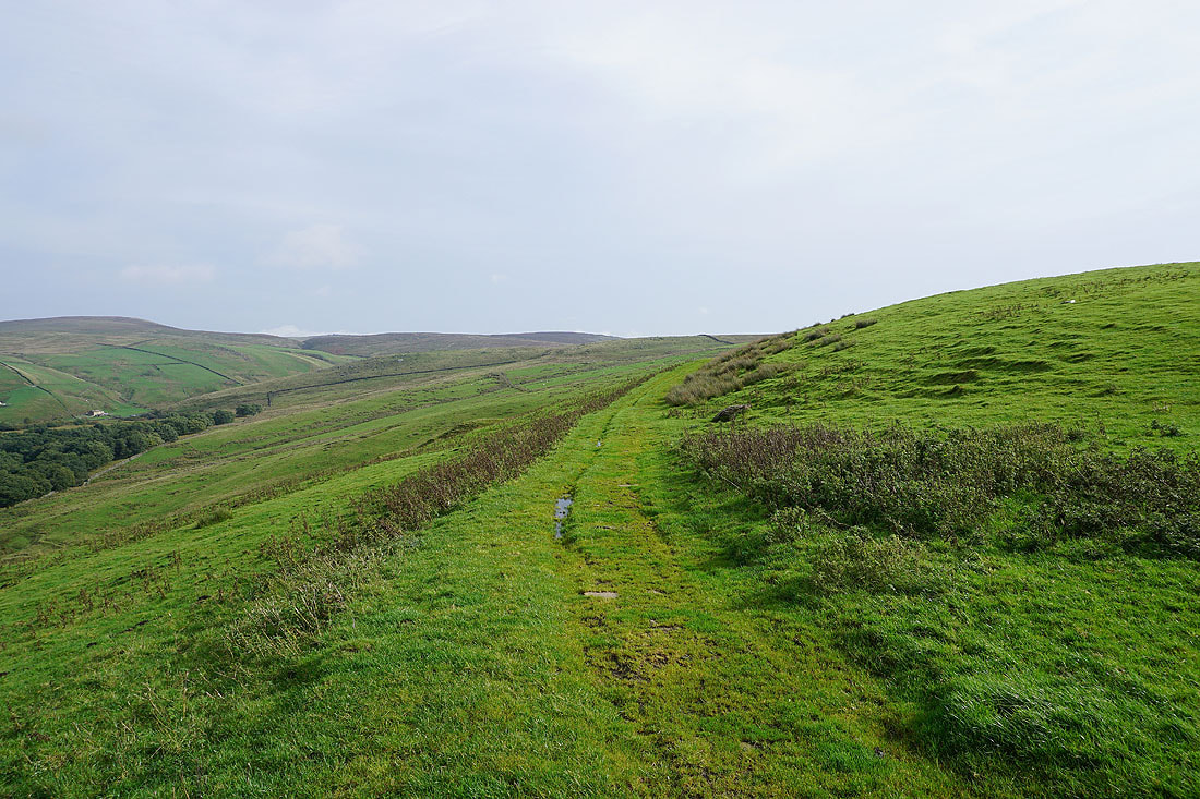
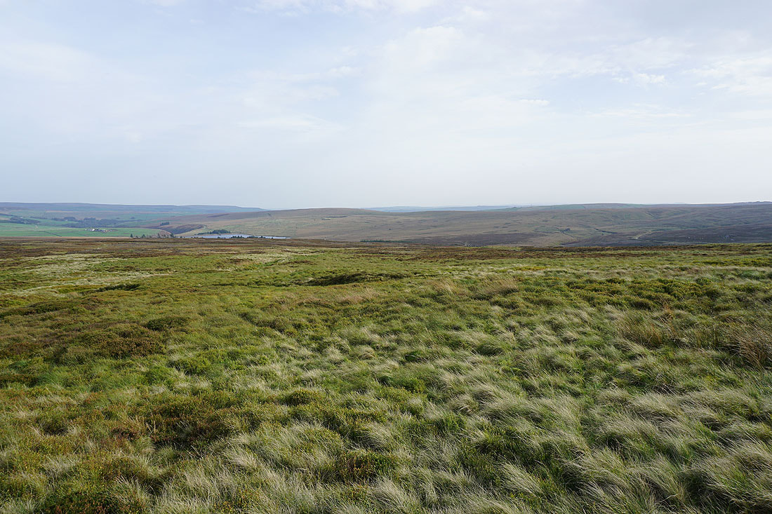
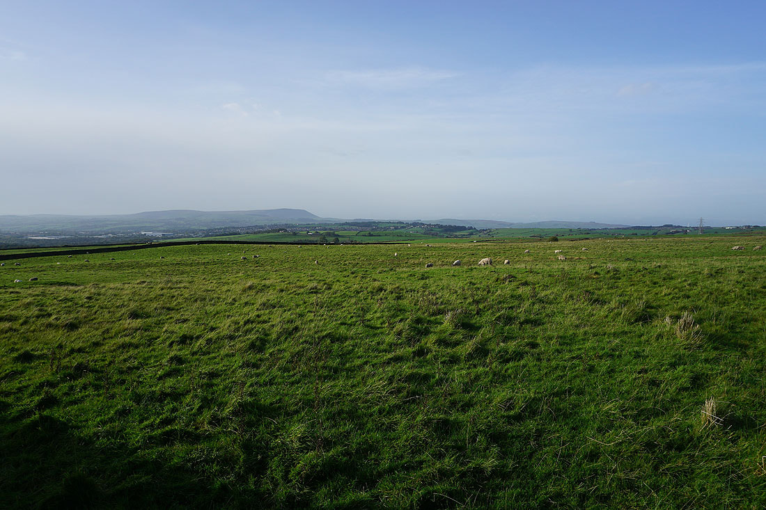
Crossing Extwistle Moor
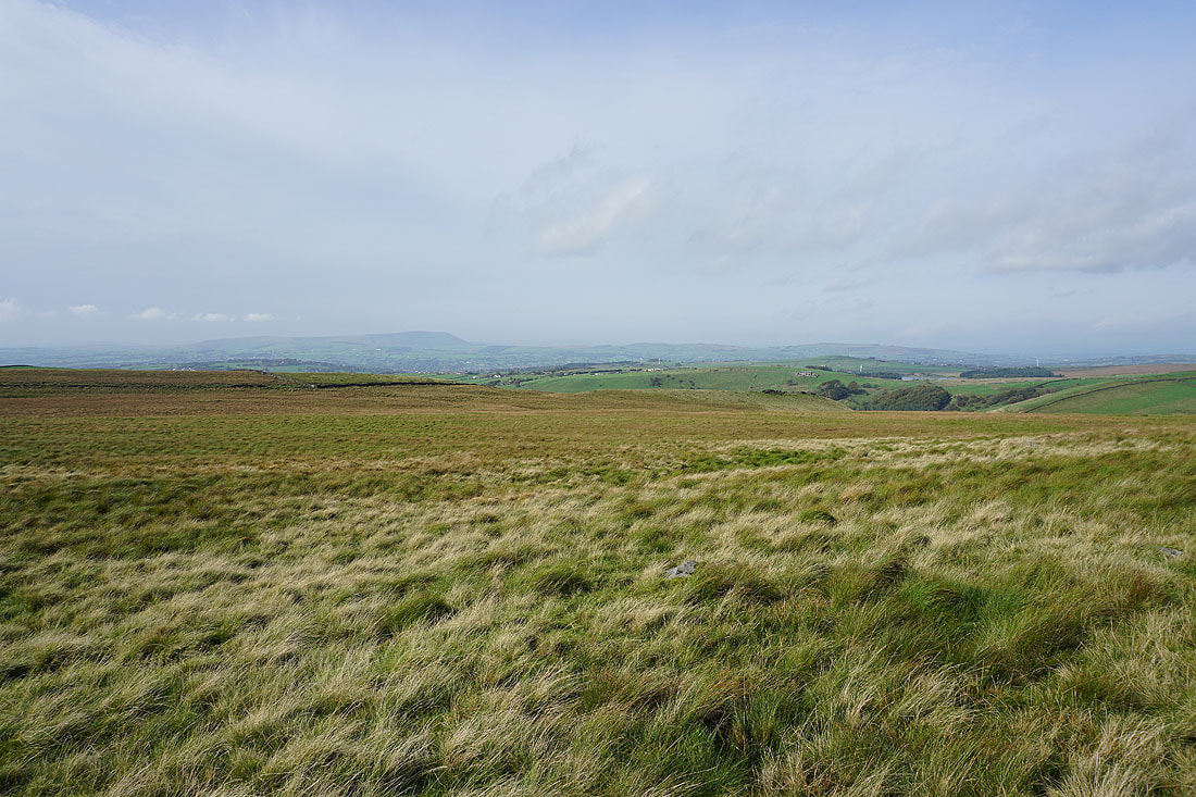
To my left, Pendle Hill in the distance, and the Thursden Valley on the right

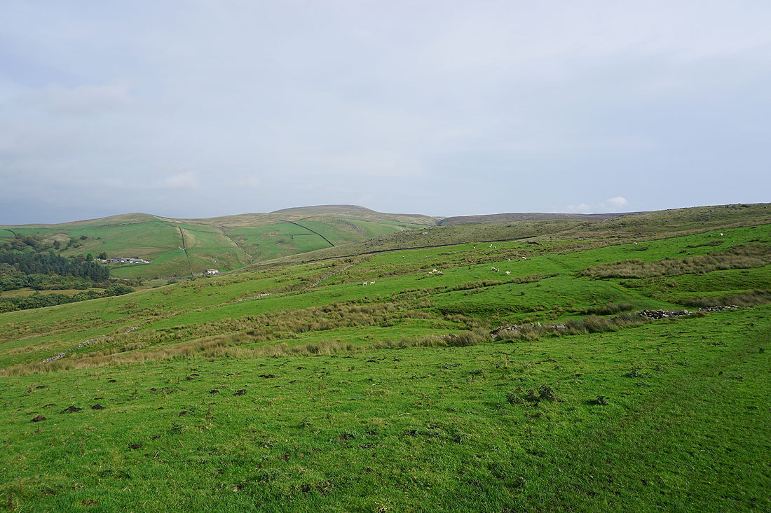
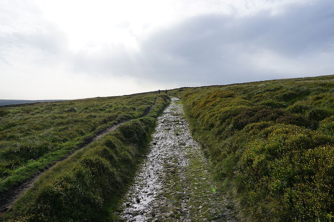
Heading east and the path approaches the top of the road across the moors to Heptonstall
The road is left behind for a footpath across the hillside towards Widdop Reservoir
Following the path down through a sequence of small dams
Making my way across the hillside above Widdop Reservoir...

The gritstone edge of The Scout on the left above Widdop Reservoir
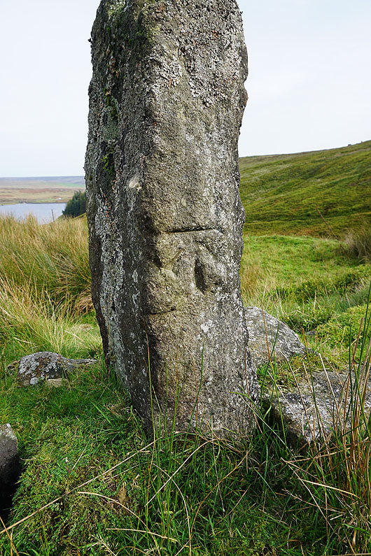
An OS benchmark on an old gatepost
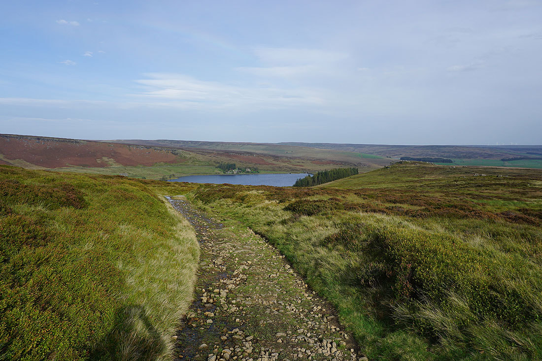
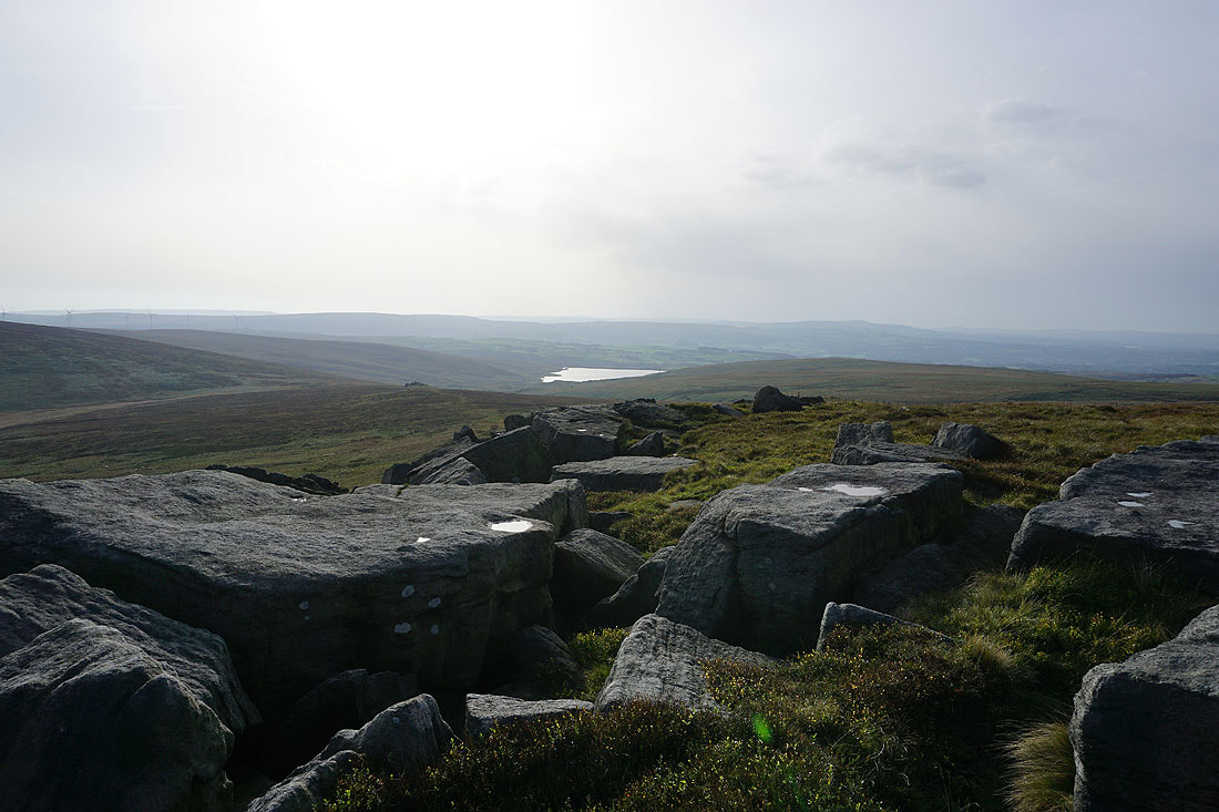
A last look back to Widdop Reservoir as I head west up the Pennine Bridleway
and across to Gorple Lower Reservoir, Standing Stone Hill, and Heptonstall Moor
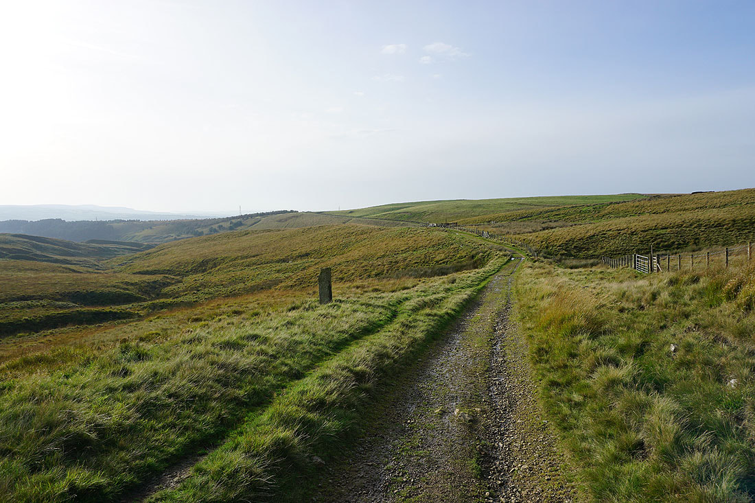
Making my way up the Pennine Bridleway
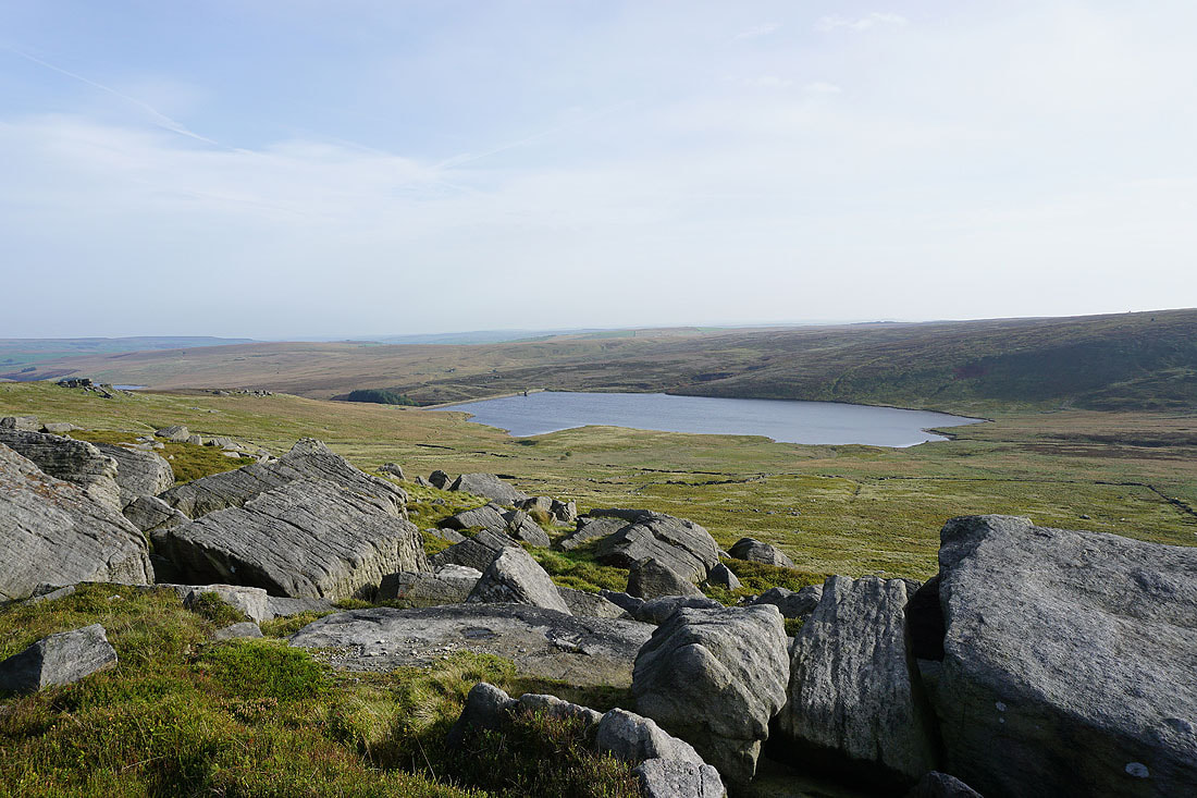
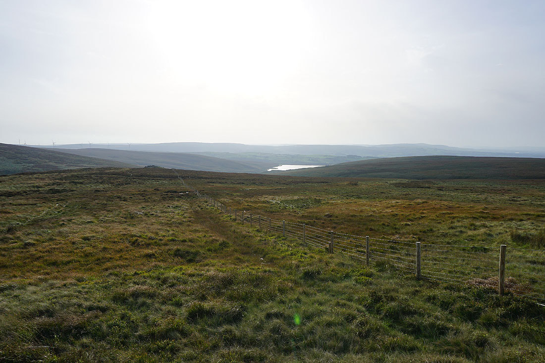
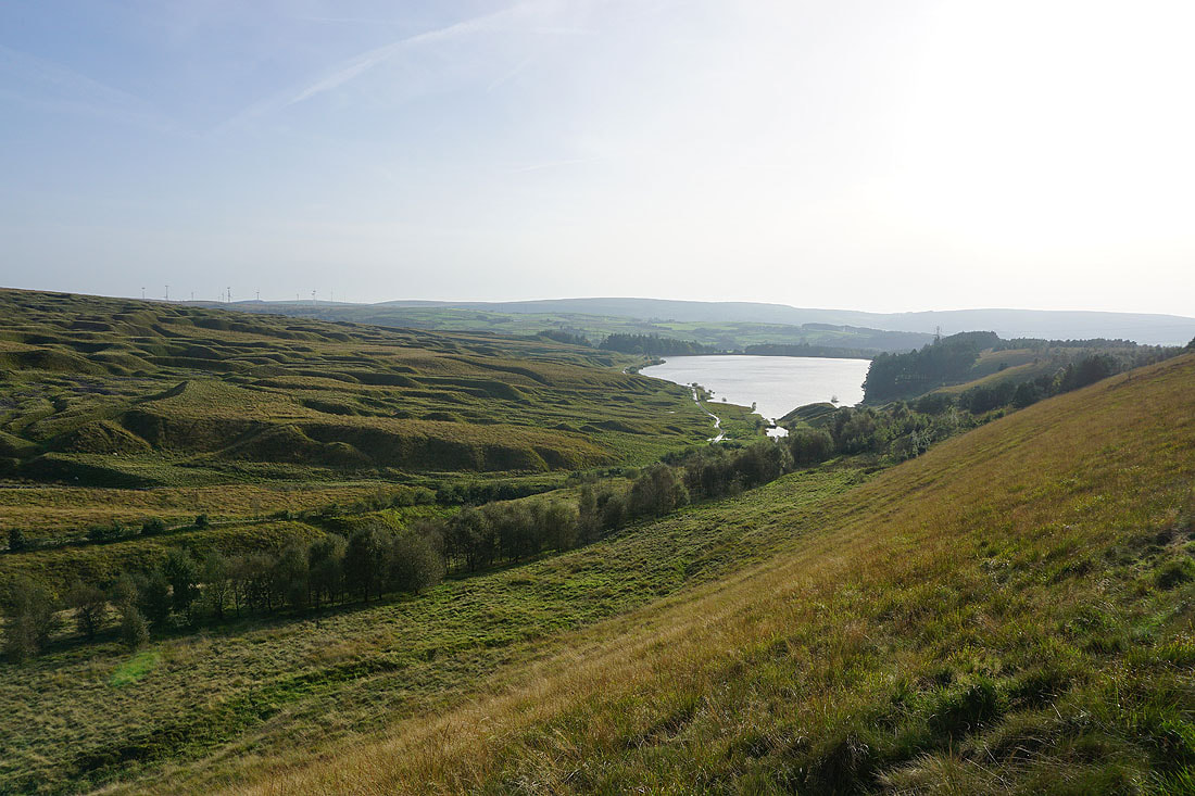
Gorple Upper Reservoir and Black Hameldon from Shuttleworth Rocks
The Pennine Bridleway heads west to pass beneath the Gorple Stones
Gorple Upper Reservoir below as I make my way west along the Pennine Bridleway
and looking back as it passes beneath the Gorple Stones
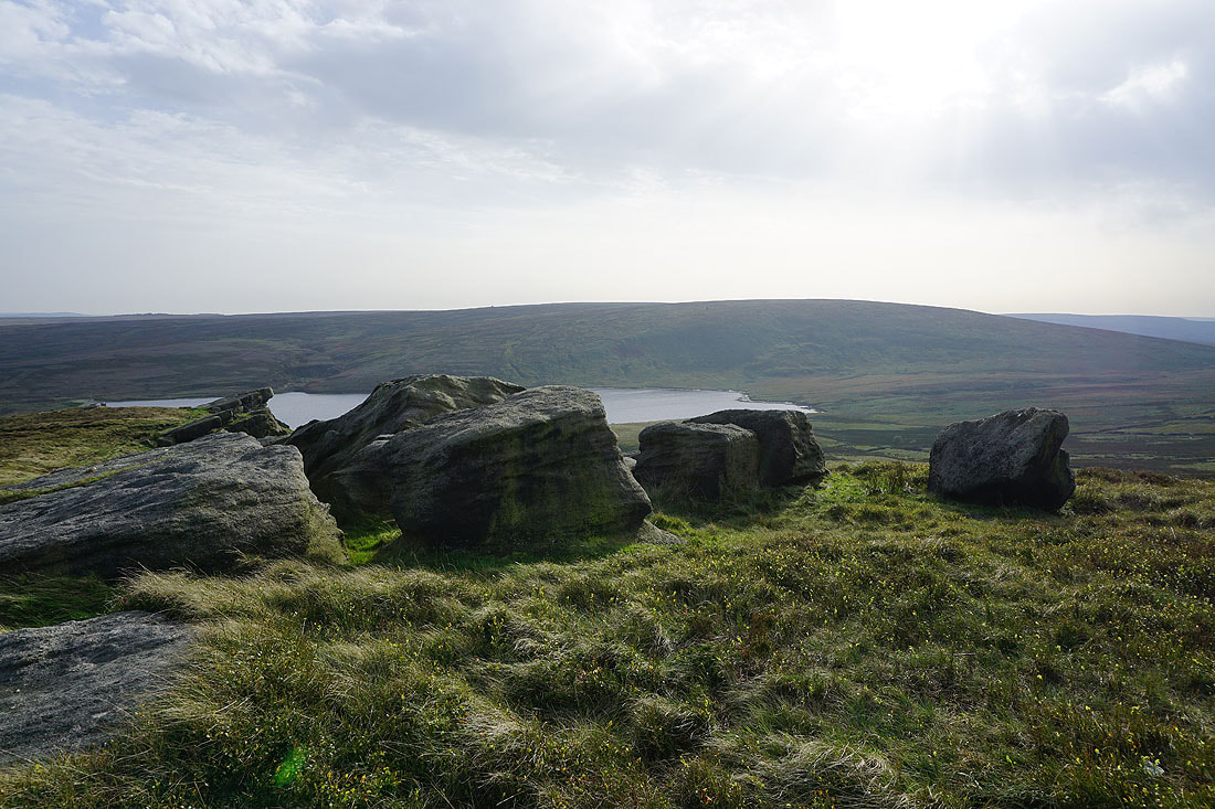
I make the short diversion up to Gorple Stones to take in the view. Gorple Upper Reservoir below.
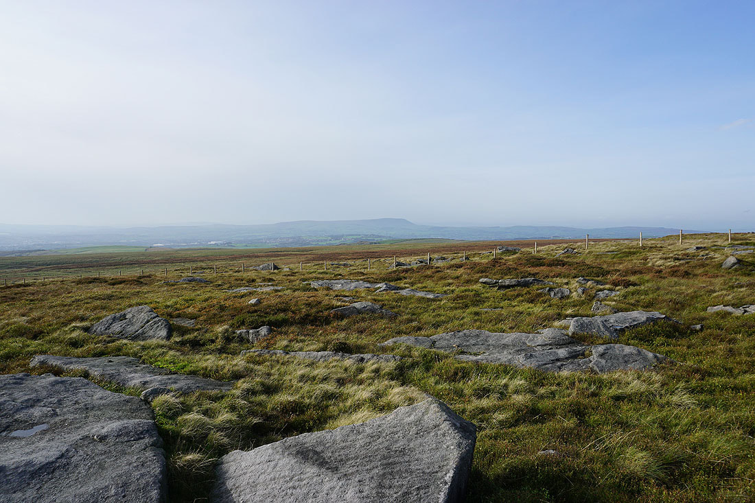
Pendle Hill in the distance
Hare Stones Hill below, and Cant Clough Reservoir
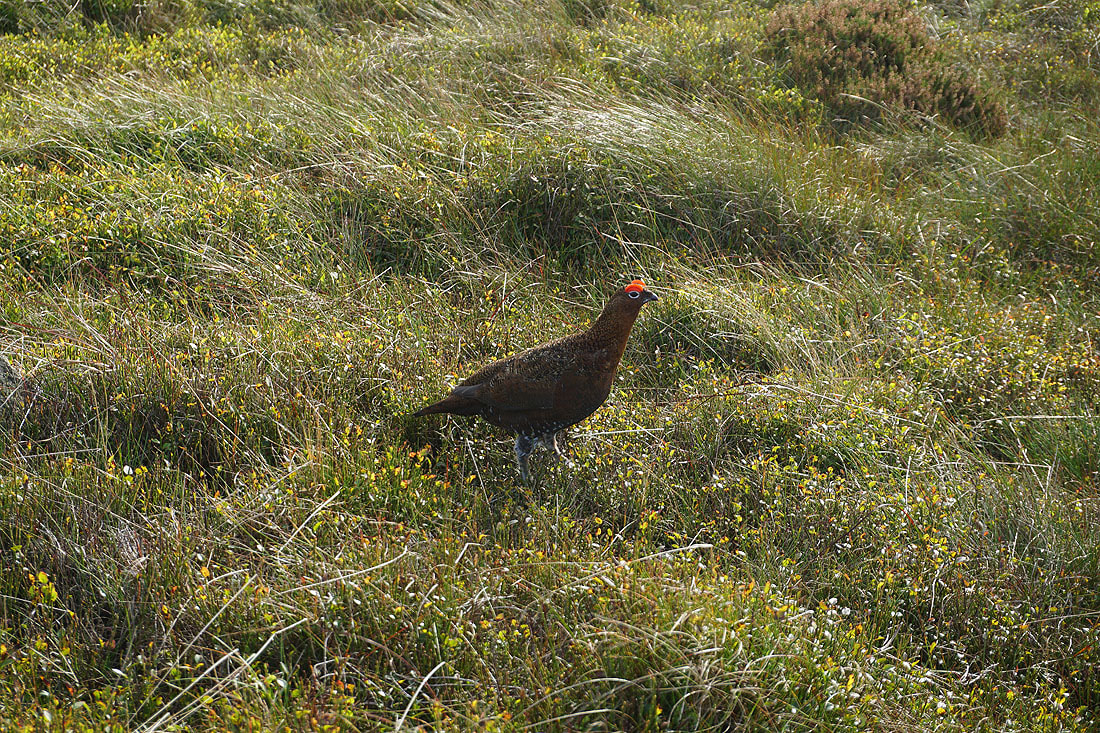
While I was here this Red Grouse kept following up and down the hillside. He was very keen on protecting his patch of moor.
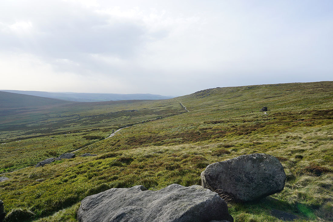
Back down at the top of the Pennine Bridleway. Looking south across Hare Stones Hill and Cant Clough Reservoir to Thieveley Pike in the distance.
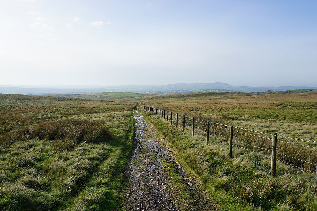
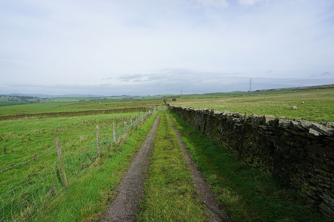
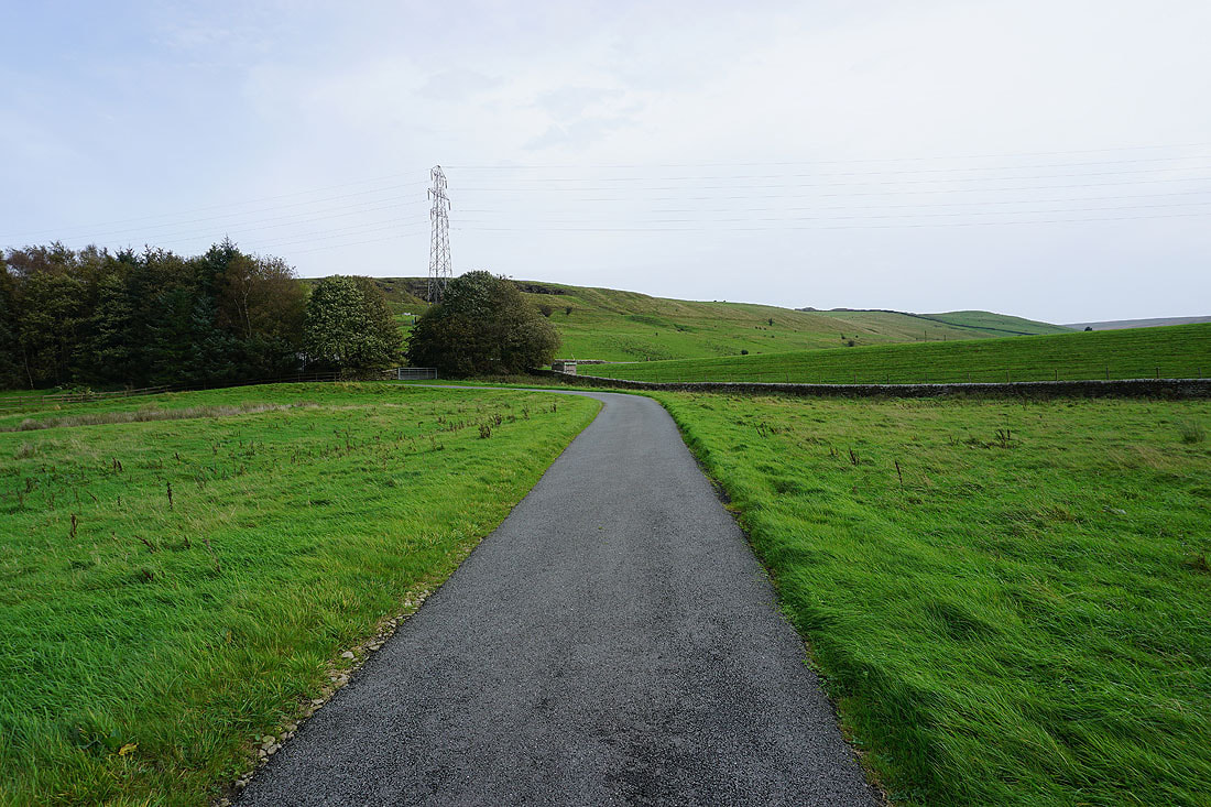
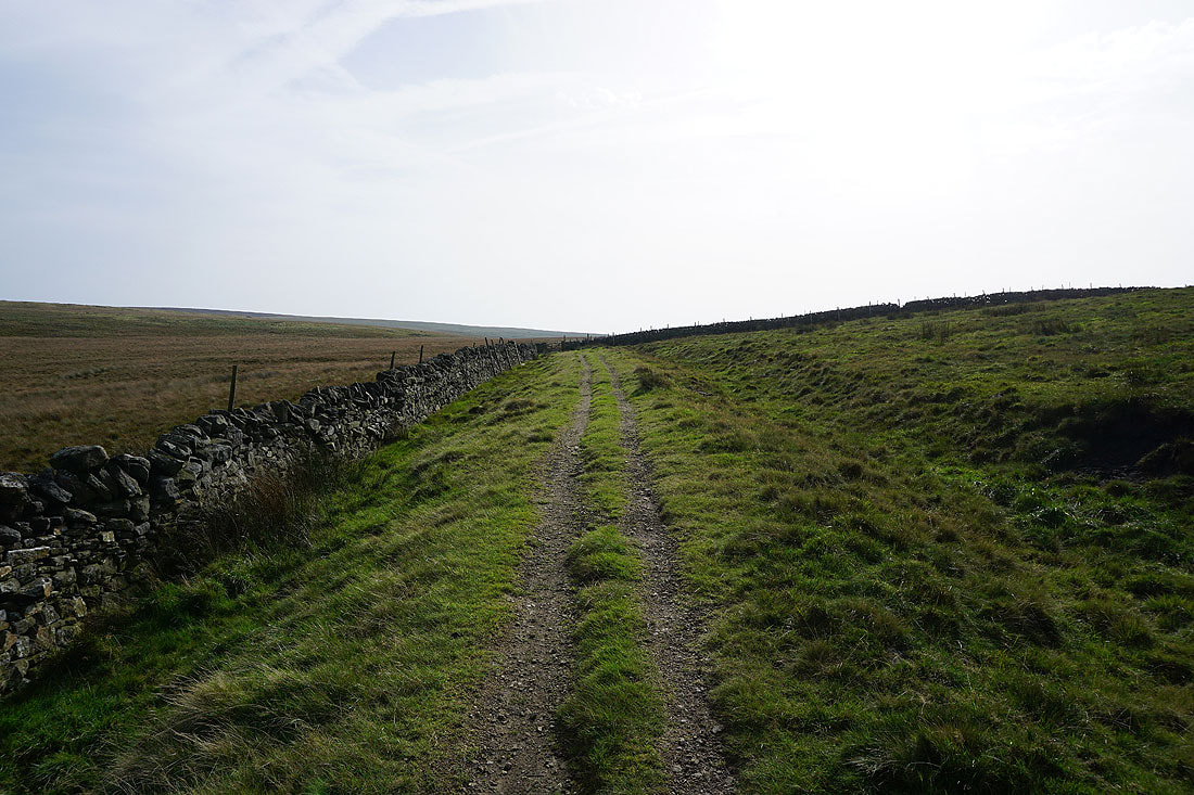
Following the Pennine Bridleway down Gorple Road..

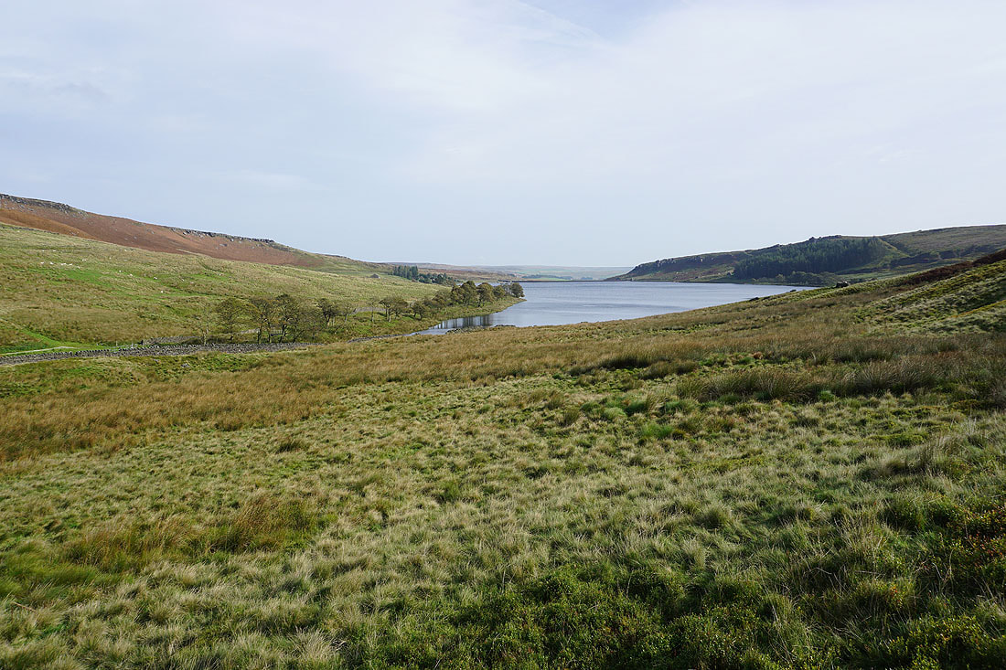
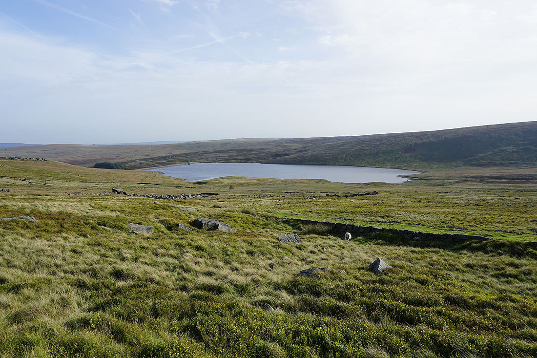
Hurstwood Reservoir appears to my left
I get a nice view of Hurstwood Reservoir as the bridleway crosses the top of Hurstwood Brook..
Looking back up the Pennine Bridleway
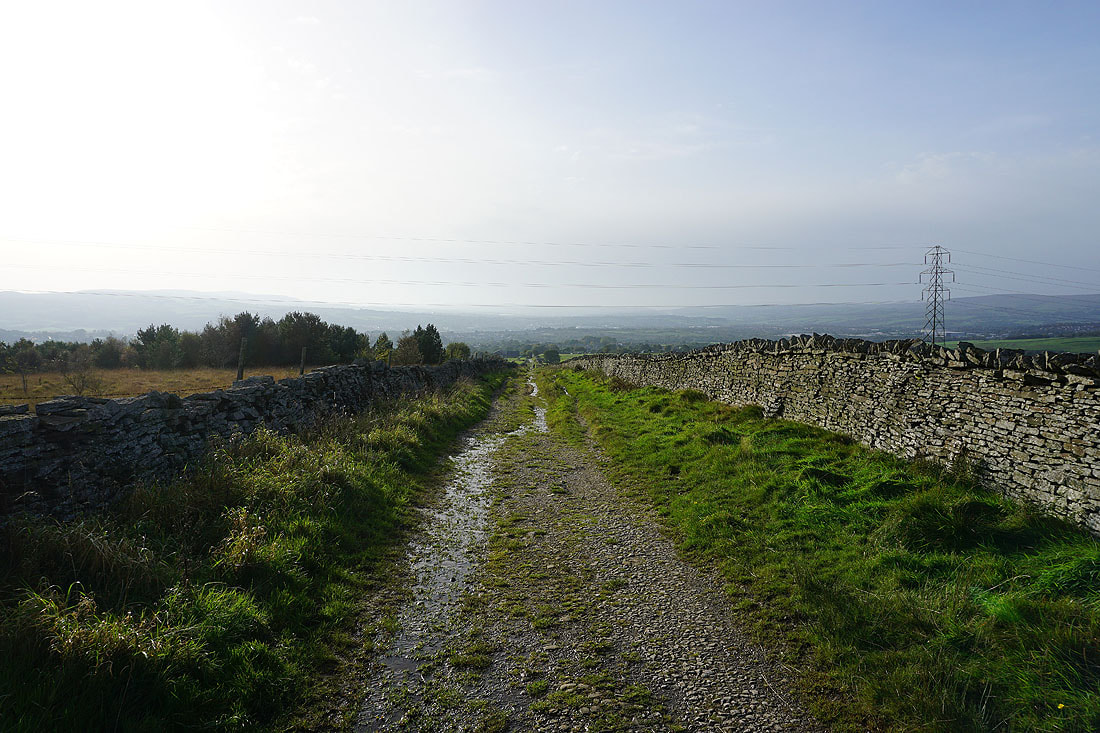
Heading Gorple Road to Worsthorne
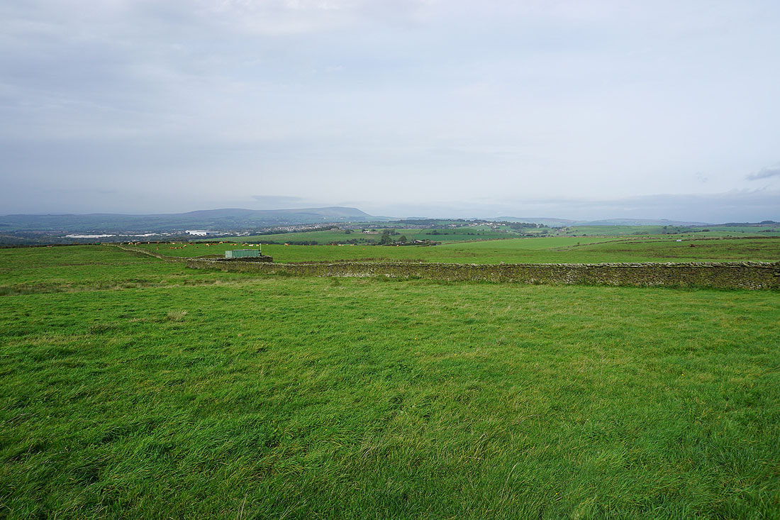
Pendle Hill in the distance to my right
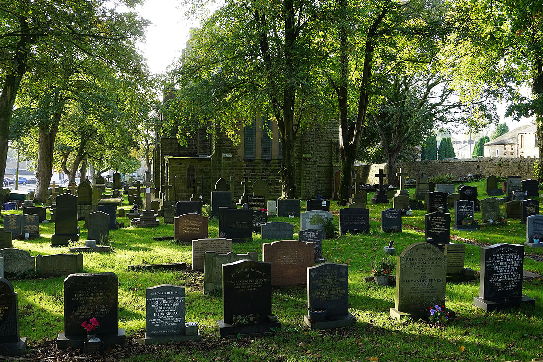
Passing the church of St. John the Evangelist in Worsthorne
Looking back to Worsthorne..
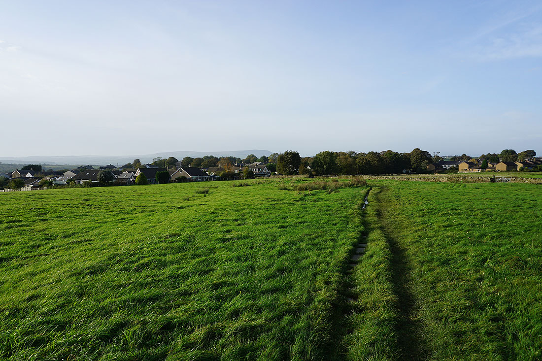
..as I follow the Burnley Way across fields to Hurstwood
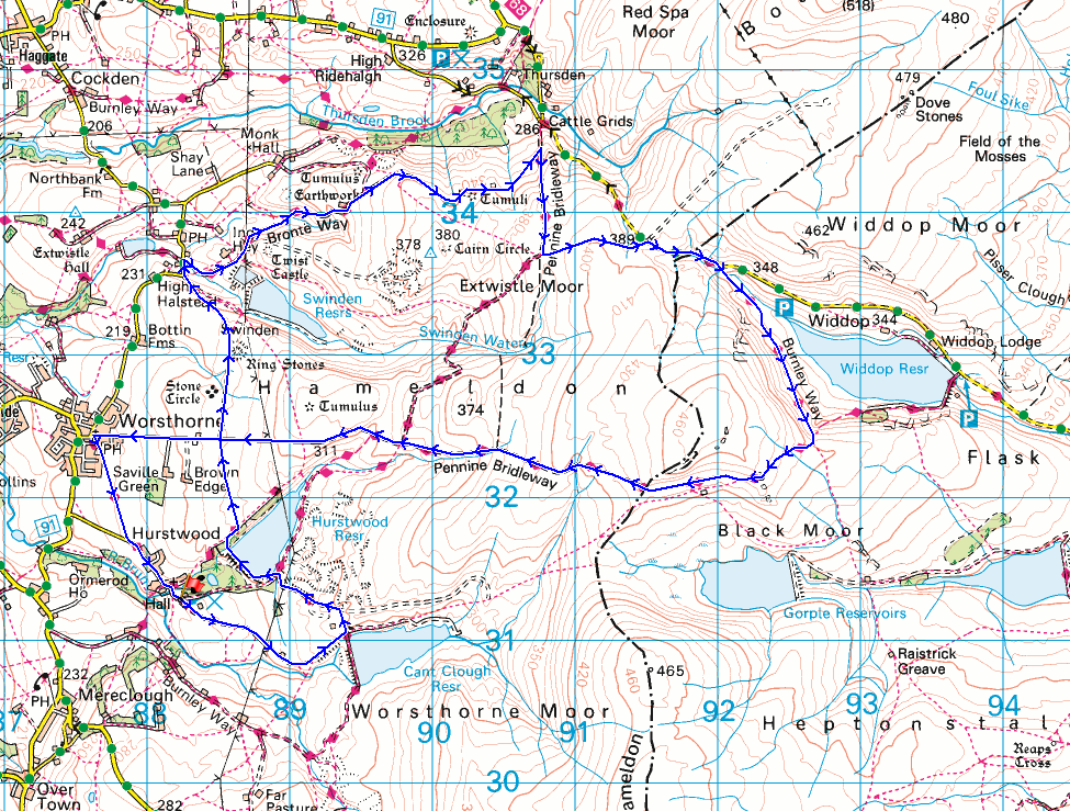
Walking along Hurstwood Lane back to Hurstwood
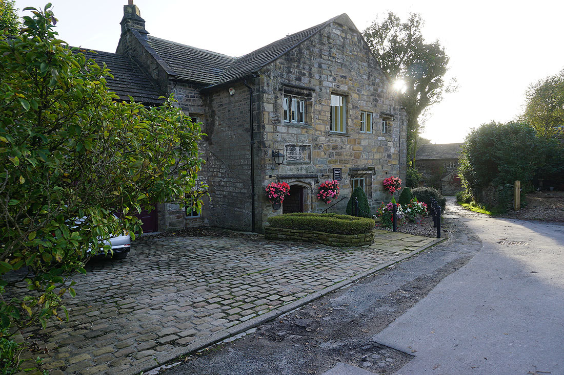
Hurstwood Hall