7th September 2015 - Catbells, Maiden Moor & High Spy
Walk Details
Distance walked: 9.4 miles
Total ascent: 2512 ft
OS map used: OL4 - The English Lakes, Northwestern area
Time taken: 7.5 hrs
Route description: Grange-Cumbria Way-Manesty Park-Brandelhow Park-Hawes End-Skelgill Bank-Catbells-Maiden Moor-Blea Crag-High Spy-Rigghead Quarries-Borrowdale-Grange
There's another fine day forecast with light winds and sunny spells. My route today will take in the Catbells to High Spy ridge, a walk I've done several times but not for almost five years. For a change I decided to start from Grange-in-Borrowdale, this proved to be a good idea as with the almost calm conditions and blue skies it was definitely the right morning for a stroll by the shores of Derwent Water.
After parking in Grange I followed the road towards Manesty and then the Cumbria Way by the shores of Derwent Water to Hawse End. The Cumbria Way was left behind here as I made my way up to and across the road to Skelgill and then up Skelgill Bank to reach the summit of Catbells. Lunch was then taken. The ridge walk came next, from Catbells across Hause Gate, up and across Maiden Moor and to High Spy with a detour to the top of Blea Crag on the way. I then kept on the path south towards Dalehead Tarn until the fence corner at the top of Tongue Gill came into view. This was the cue I was looking for for the descent through Rigghead Quarries into Borrowdale to reach the bridleway that took me back to Grange.
Route map
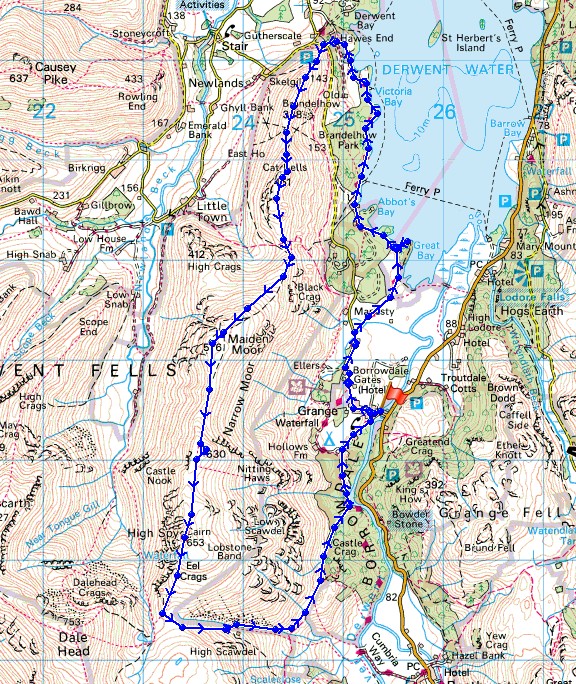
© Crown copyright. All rights reserved. License number PU 100034184.
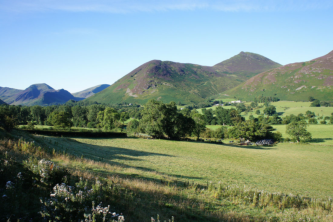
It's a glorious morning as I set off from my place of residence in the Newlands valley
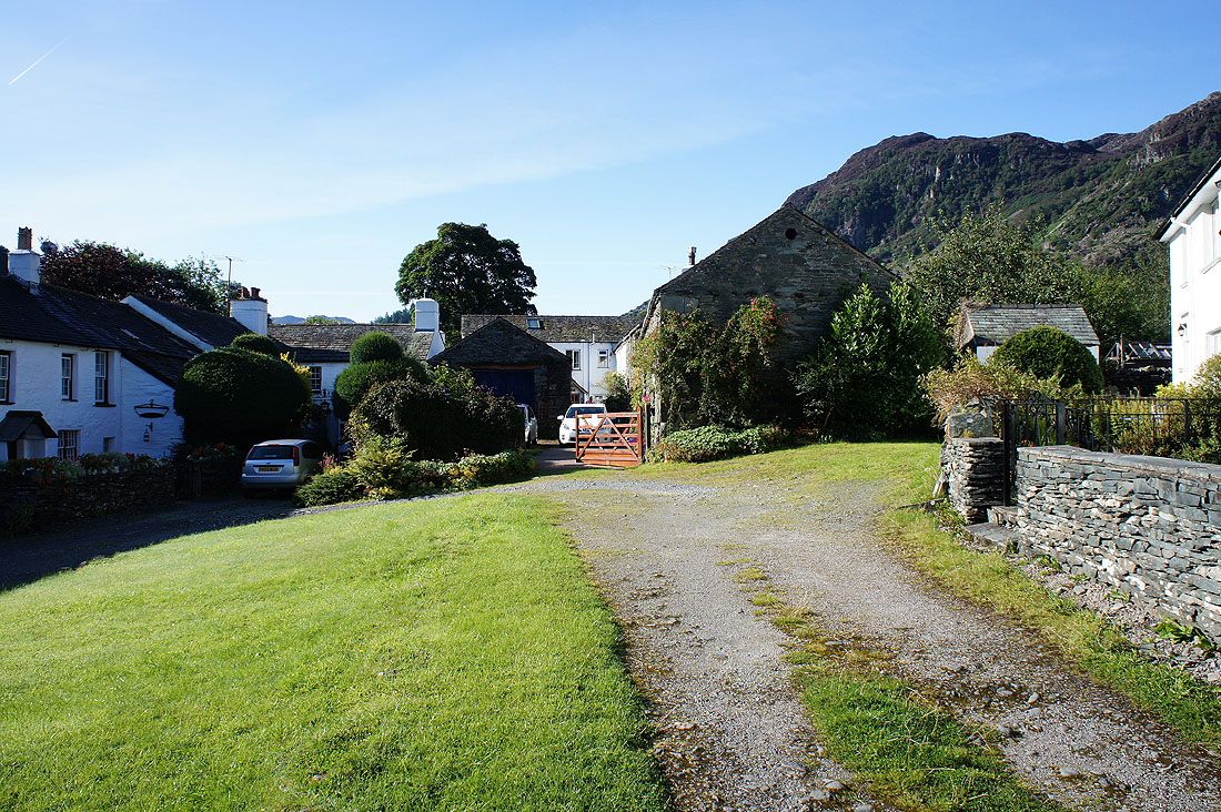
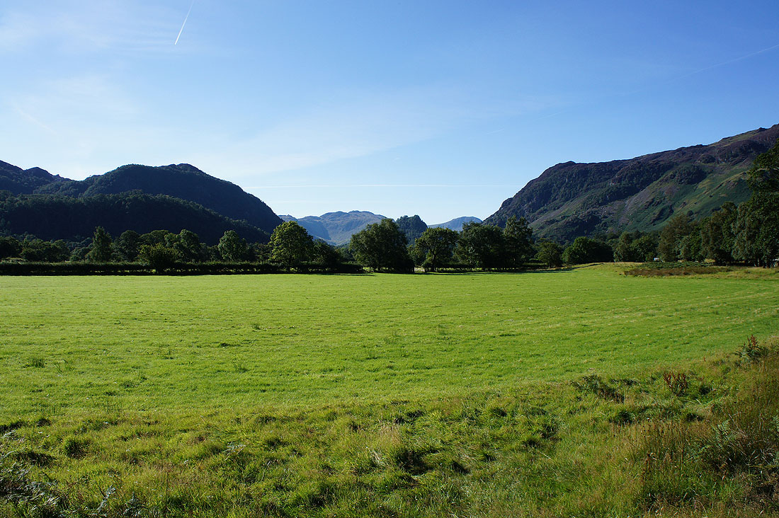
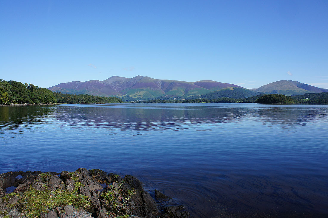
Just as good in Grange-in-Borrowdale
Skiddaw to the north as I follow the road to Manesty
Glaramara and Great End to the south
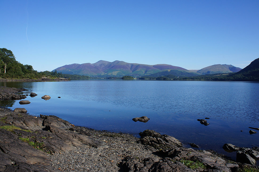
I left the road to follow the Cumbria Way to the shores of Derwent Water, where I took the first opportunity I could to go down to the shoreline at Myrtle Bay
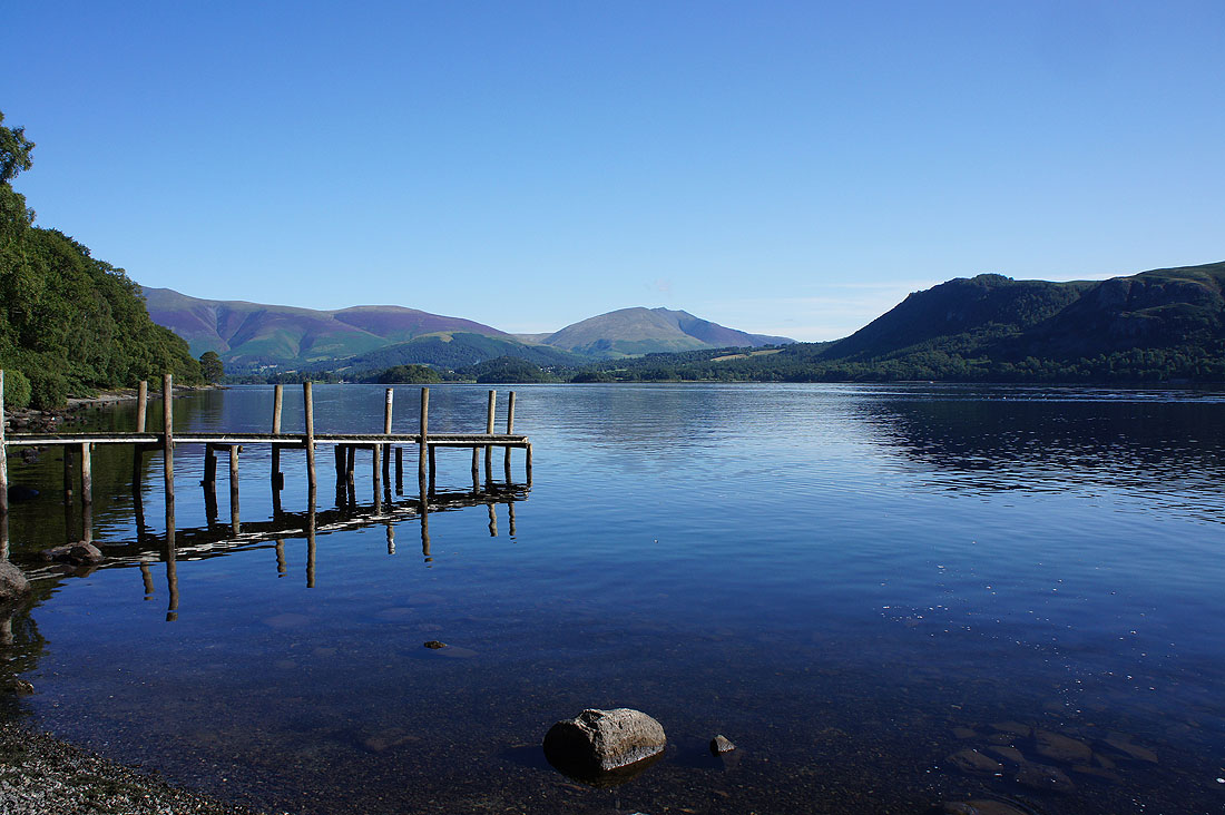
Past the landing stage at Brandelhow Bay
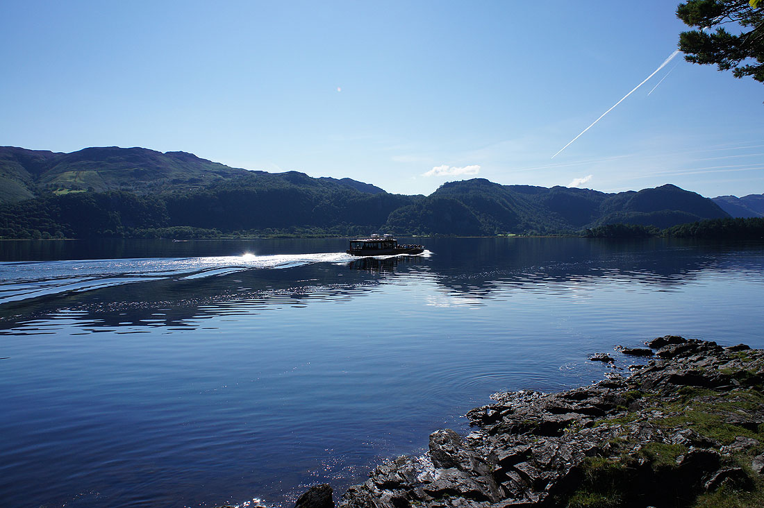
The calm is about to be disturbed
A final shot from the waterside at Victoria Bay
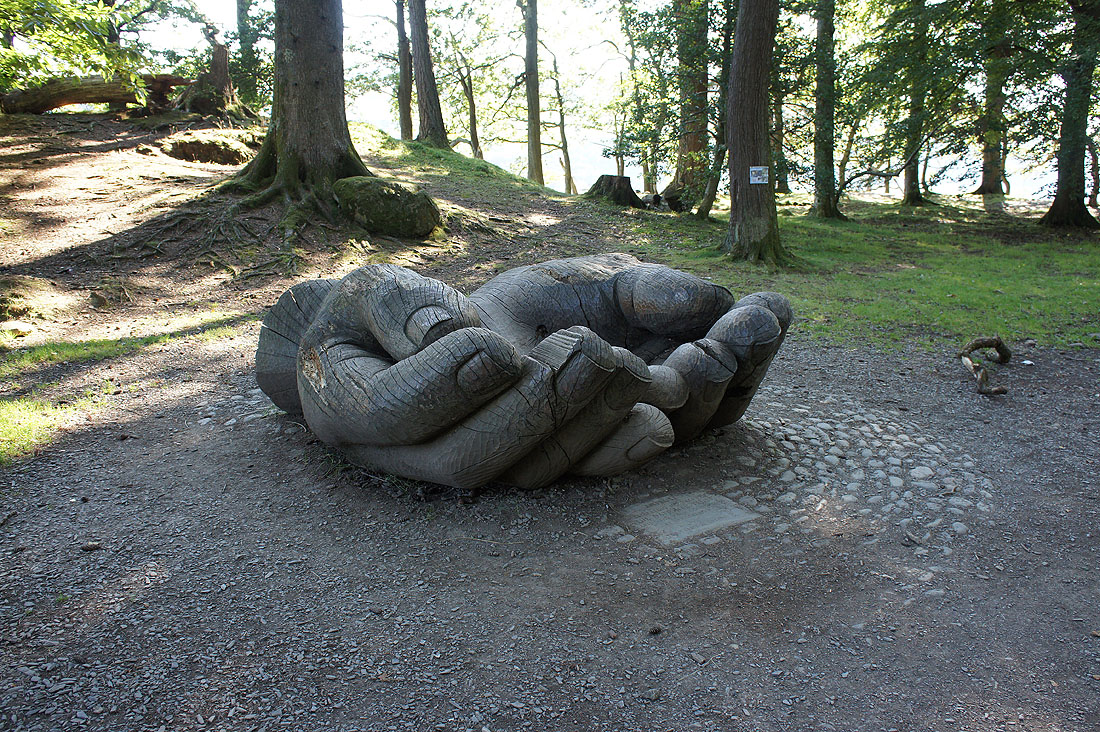
Held in care by the National Trust
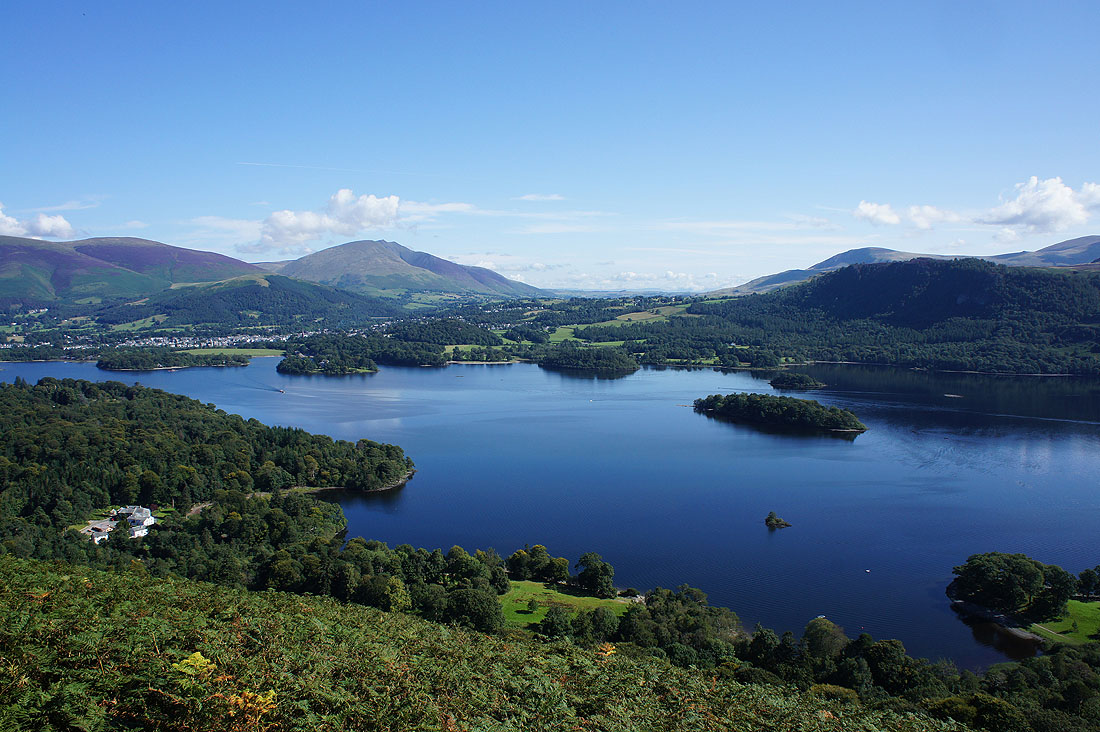
Stunning views of Derwent Water as I start the climb up Skelgill Bank
Catbells and the fells around the Newlands valley from Skelgill Bank
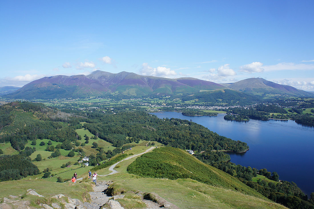
Skiddaw, Keswick and Blencathra
Catbells awaits
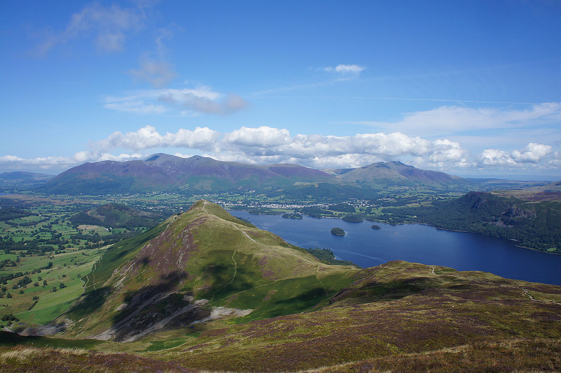
On the summit of Catbells and it's beautiful day to be up here. Skiddaw, Keswick and Blencathra to the north.
Walla Crag on the other side of Derwent Water
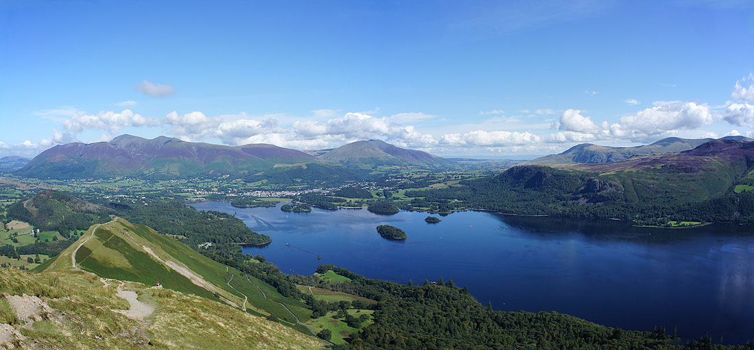
I stitched the two previous pictures together to make this panorama
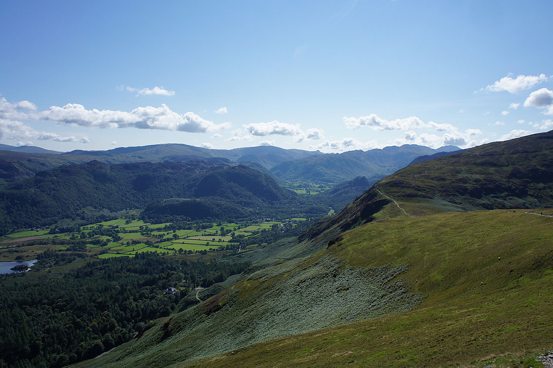
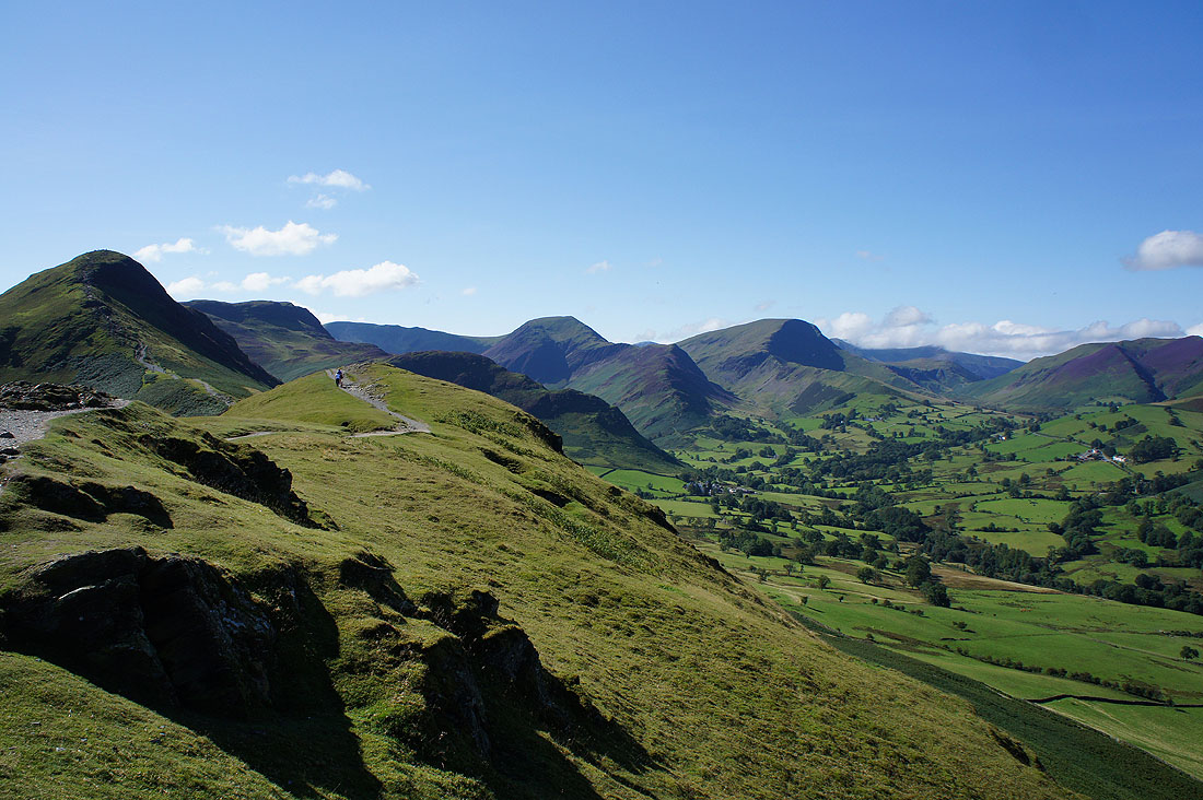
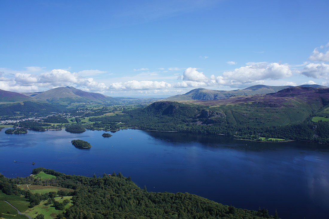
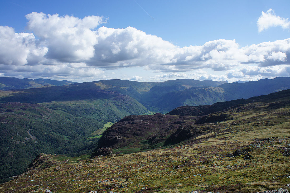
Looking south up Borrowdale
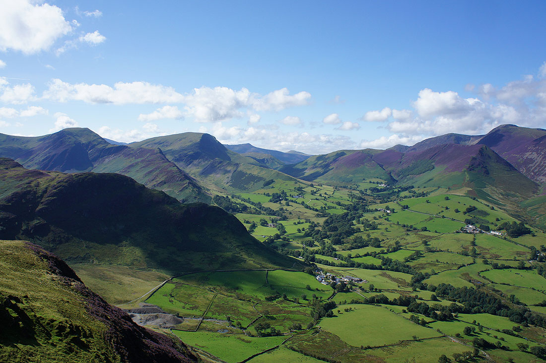
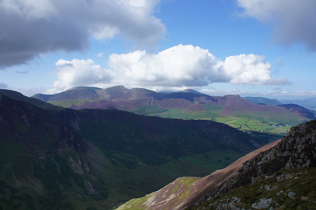
On the other side of Catbells, the Newlands valley. I visited the two fells on the left, Hindscarth and Robinson yesterday.
Wandope, Eel Crag, Scar Crags and Causey Pike will be tackled later in the week
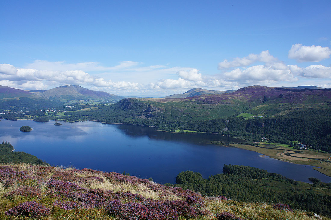
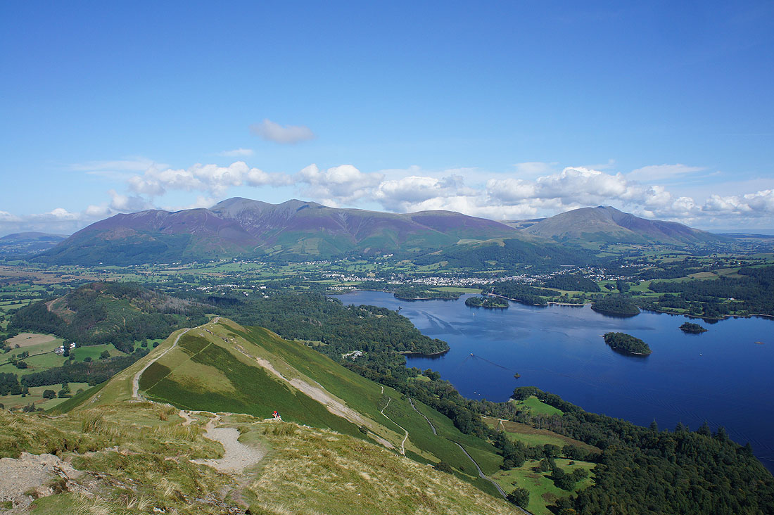
I couldn't resist taking this photo of Derwent Water with a bit of heather in the foreground on the way up Maiden Moor
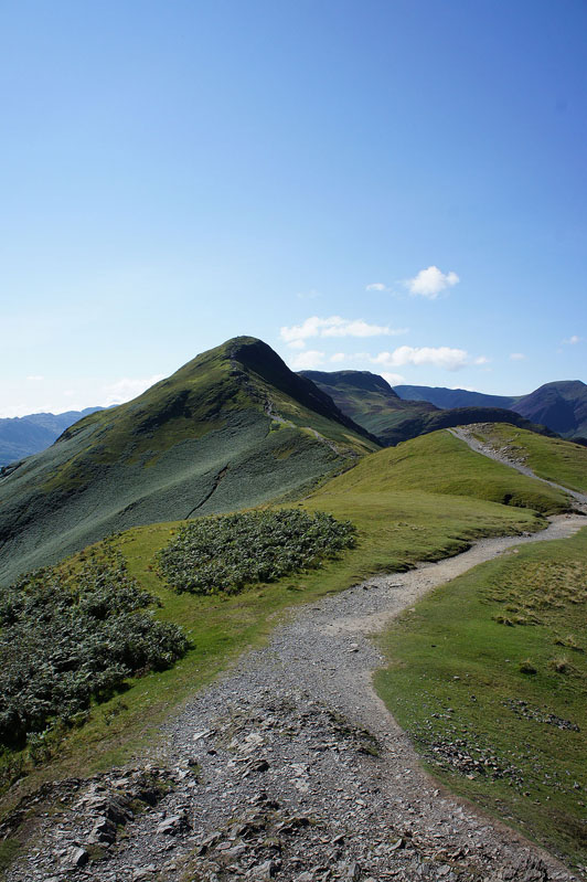
Looking north to Catbells from Maiden Moor
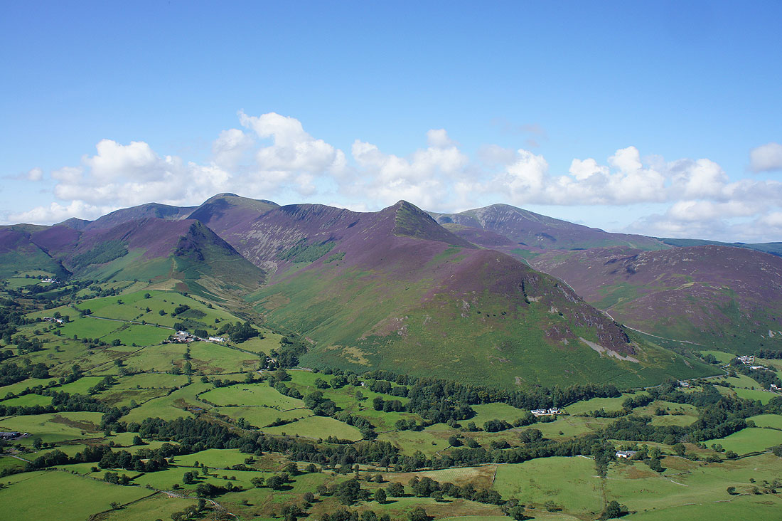
Past the ends of Scope End and High Snab Bank to the fells on the other side of the Newlands valley
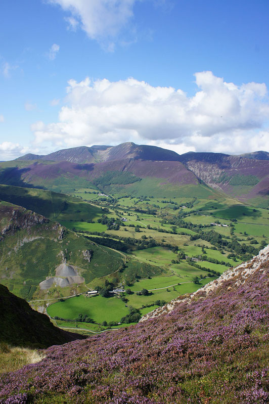
It's worth making the detour to the cairn on the top of Blea Crag for the views across Borrowdale..
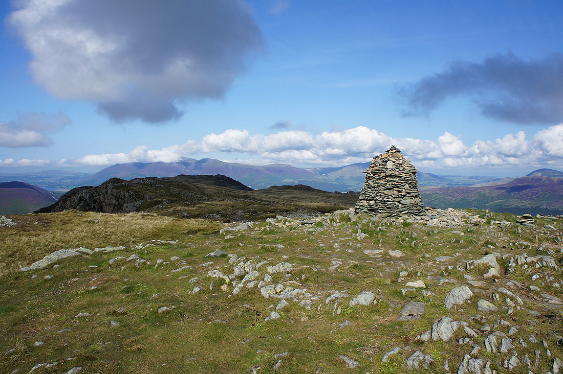
By the cairn that marks the summit of High Spy. Cloud has built up since I set off and it's interesting to see which fells have been affected and which haven't.
There's some bothering the tops of Grasmoor and Grisedale Pike
The cloud is well above the Helvellyn range to the east
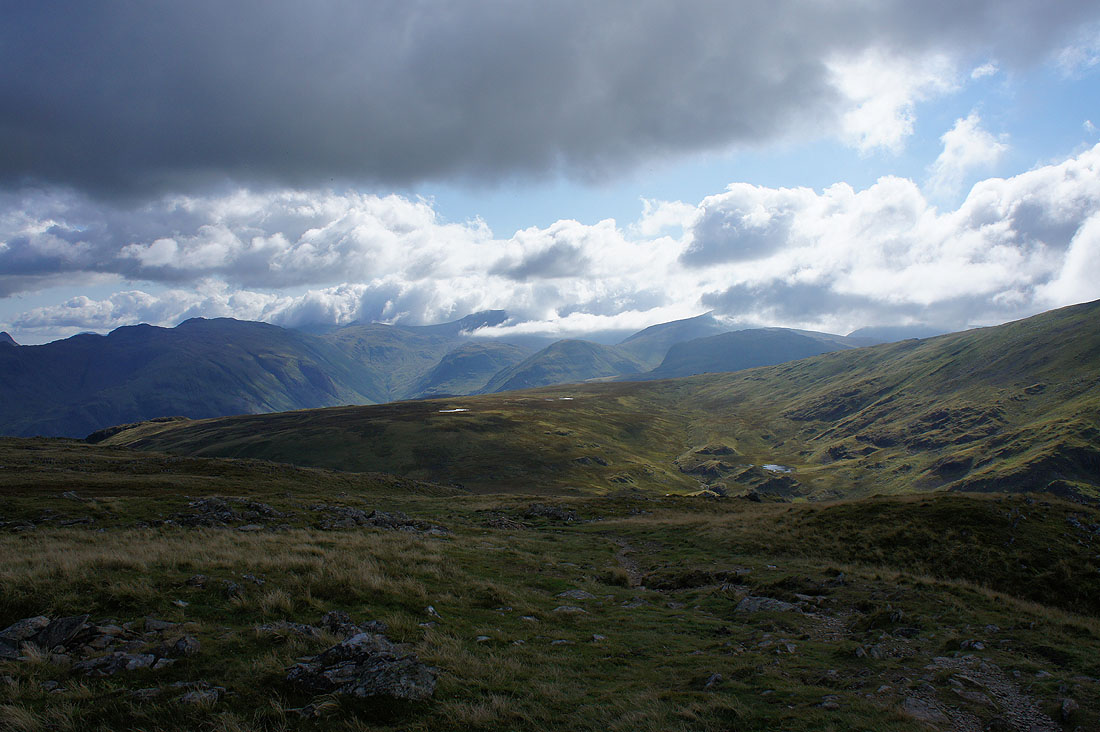
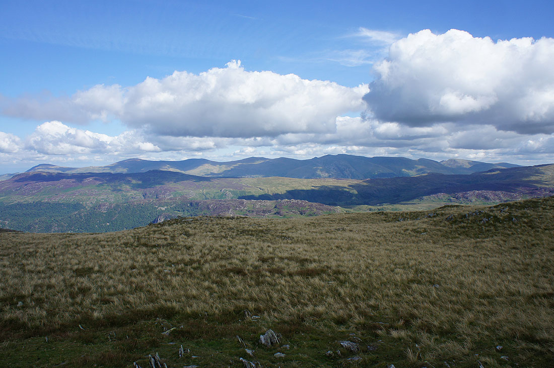
Quite different to the south around Bowfell, the Scafells and Great Gable
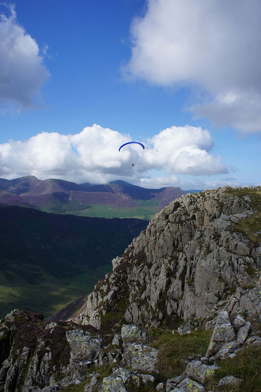
Paraglider above Eel Crags
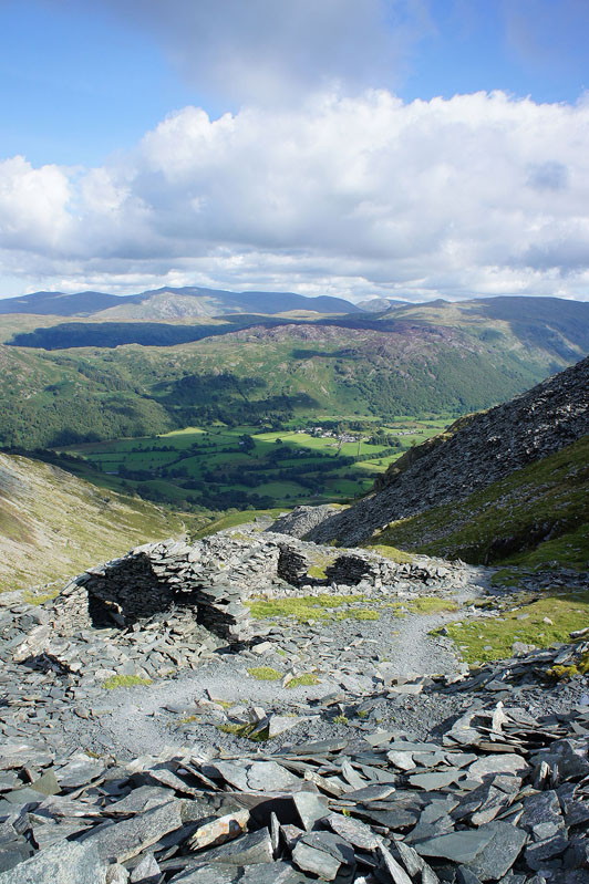
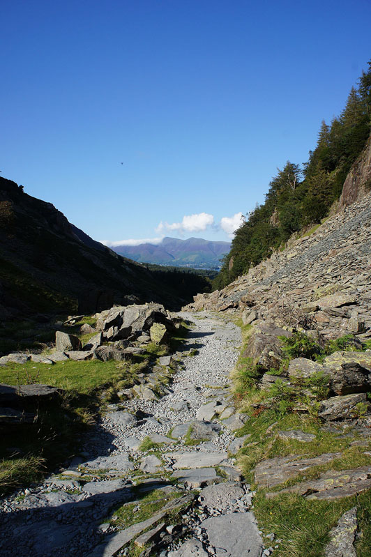
Heading down through Rigghead Quarries
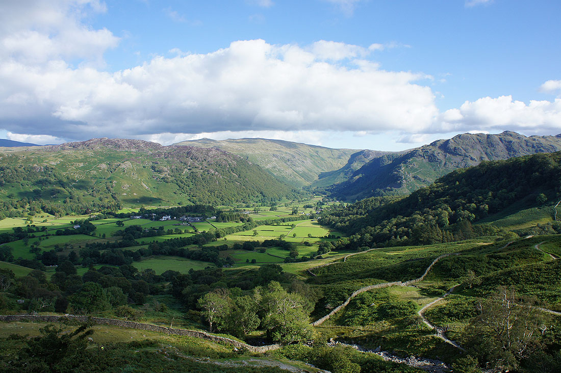
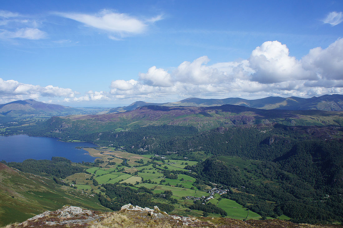
A lovely view of Borrowdale as I pick up the bridleway back to Grange
Through the gap between Goat Crag and Castle Crag
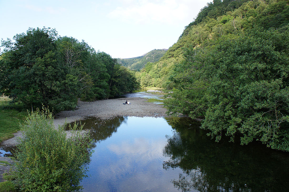
Back in Grange by a placid River Derwent