8th April 2014 - Green Crag, Great Worm Crag & Stanley Gill
Walk Details
Distance walked: 10.1 miles
Total ascent: 2073 ft
OS map used: OL6 - The English Lakes, Southwestern area
Time taken: 8 hrs
Route description: Boot-Doctor Bridge-Low Birker-Low Birker Tarn-Green Crag-White How-Great Worm Crag-Birker Fell road-High Ground-Low Ground-Stanley Gill-Dalegarth-Boot
A fine day is forecast and this route was one I had planned for such a day. One advantage of staying in Boot is the number of walks that can be done by just stepping out the door.
So, from the Boot Inn I crossed the Eskdale road and took the bridleway down to the Esk. I followed the river upstream to Doctor Bridge, then across the bridge and to Low Birker. I then made my way uphill on the peat road zigzags to Low Birker Tarn and then the summit of Green Crag. Boggy ground was crossed to the next tops of White How and Great Worm Crag. There was more boggy ground on the way down to the Birker Fell road. After a bit of a road walk I took the track to Stanley Gill past High Ground and Low Ground. I then followed the path down Stanley Gill to Stanley Force and out to Dalegarth. A short walk back to Boot remained.
Route map
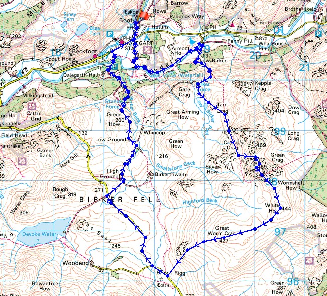
© Crown copyright. All rights reserved. License number PU 100034184.
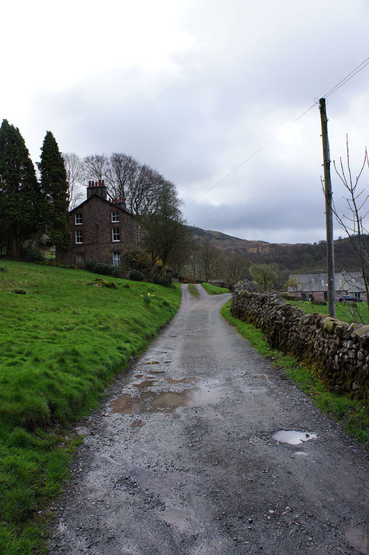
Esk View farm ahead. The bridleway then goes down to the right.
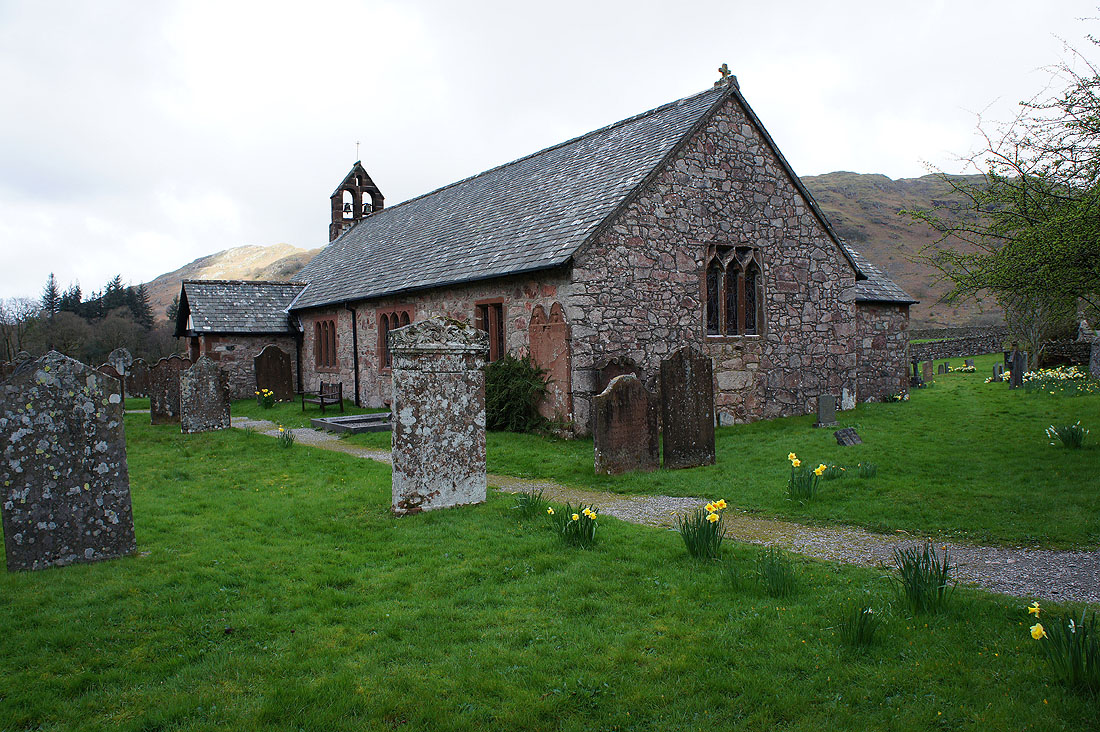
St. Catherine's, the parish church of Eskdale
|
|
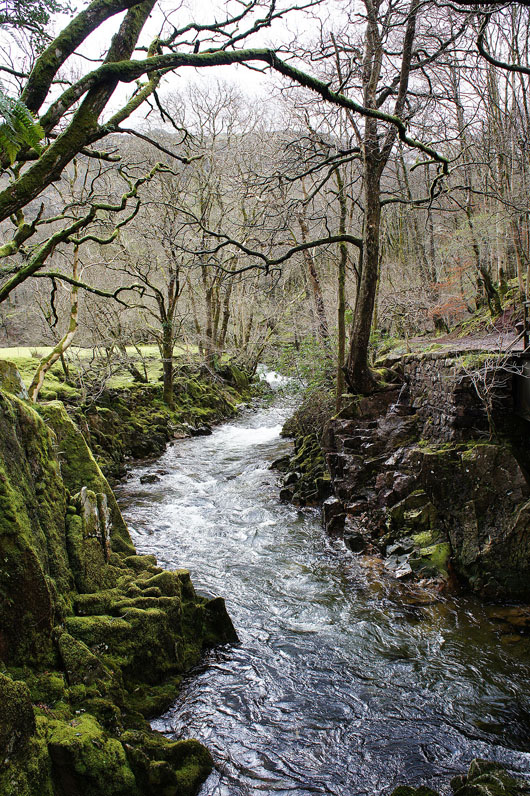
Having reached the Esk I'm not crossing it via the stepping stones but following it upstream to Doctor Bridge
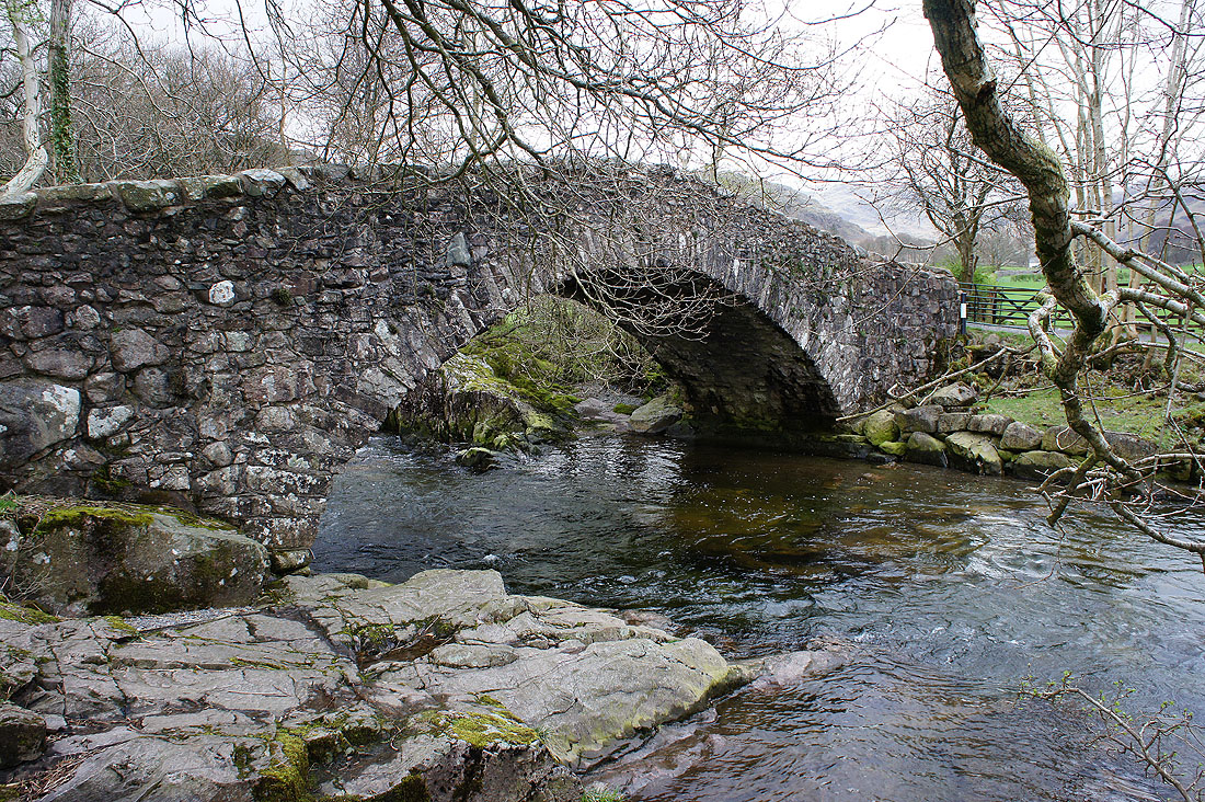
Across Doctor Bridge
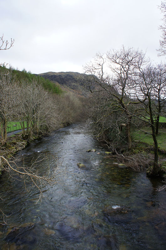
The Esk from Doctor Bridge
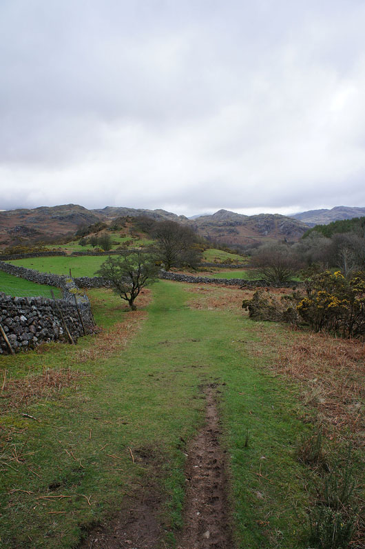
Looking up the valley from the track to Low Birker
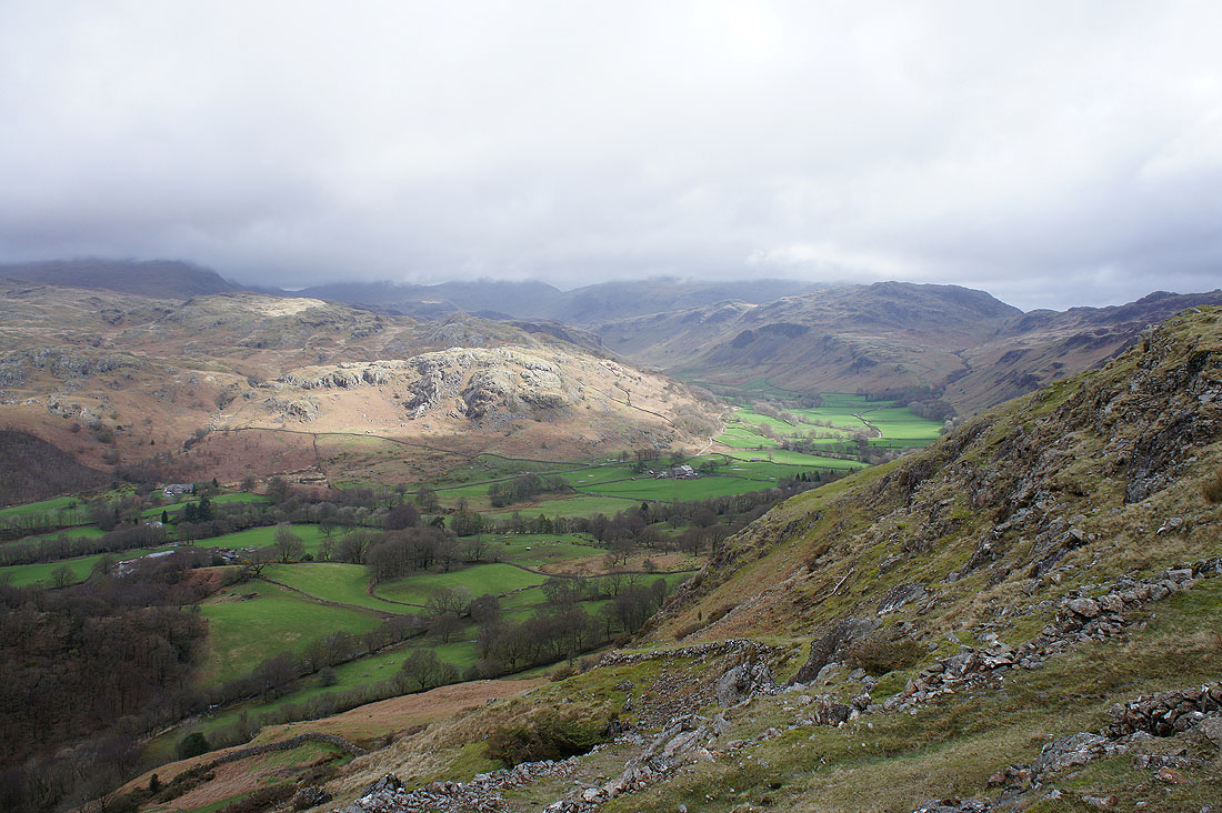
Finally at the top of the peat road zig-zags. Eskdale curves to the left into the upper part of the valley while the road heads over the Hardknott Pass.
Looking down the valley
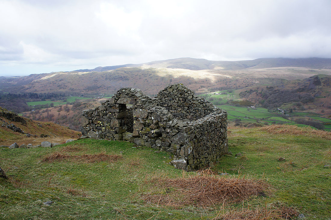
The ruined peat hut at the top of the zig-zags
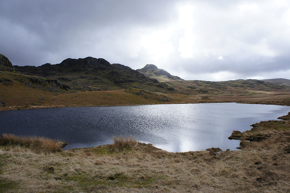
By Low Birker Tarn. The top of Green Crag is catching some sun.
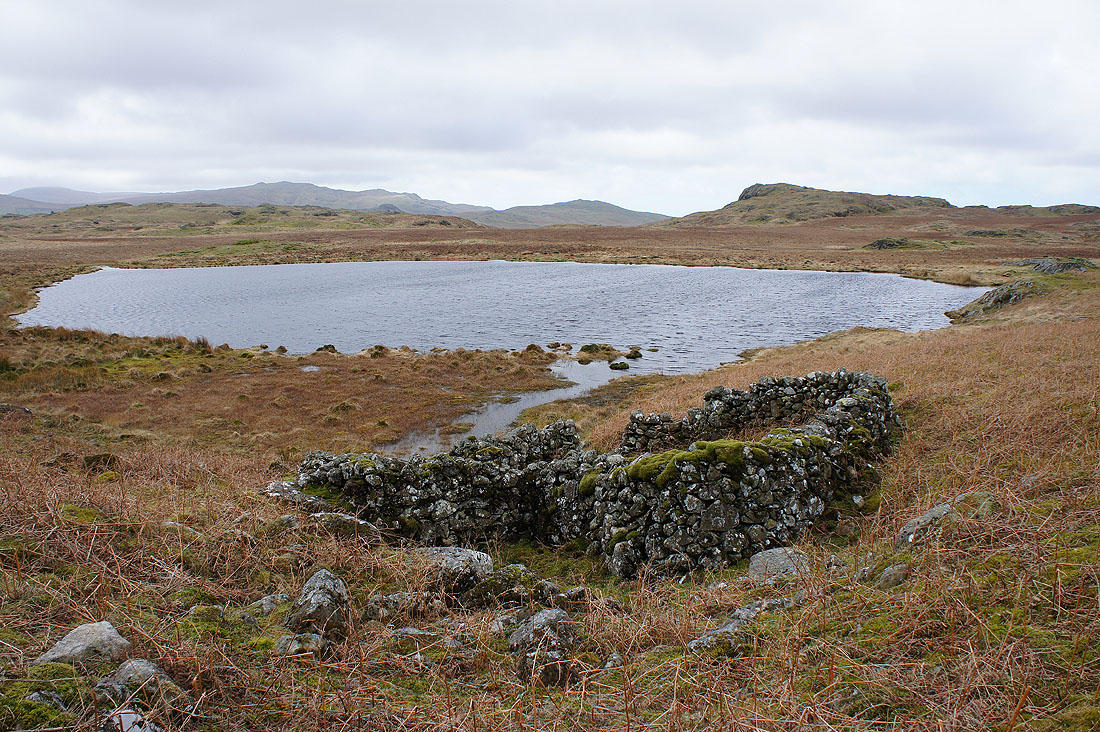
What a lonely spot for a sheepfold
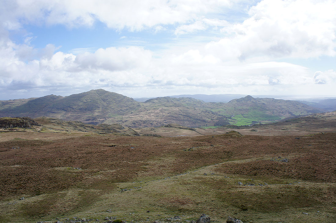
On the summit of Green Crag. That's Harter Fell in the background.
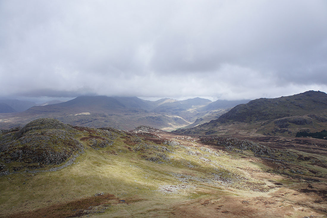
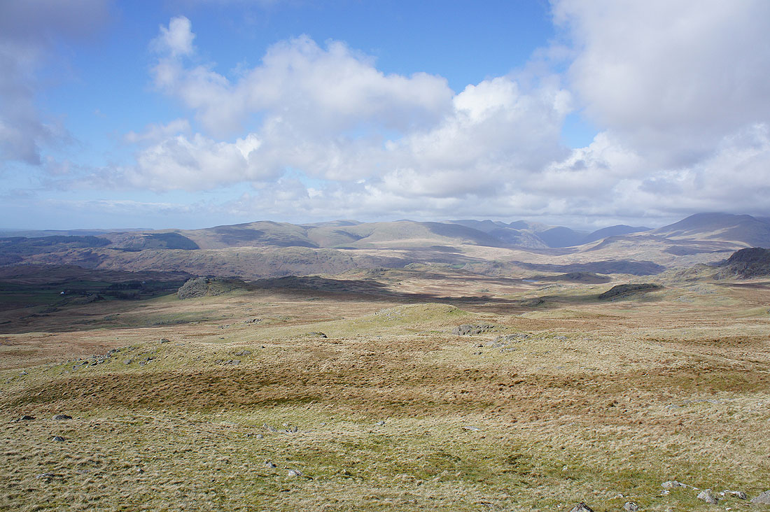
The fells around the head of Eskdale. Scafell and Scafell Pike are under cloud but Esk Pike and Bow Fell can be seen.
The Coniston fells showing their less interesting side
The next top of White How ahead with Caw and Stickle Pike in the background
A bit of sun on the Duddon estuary
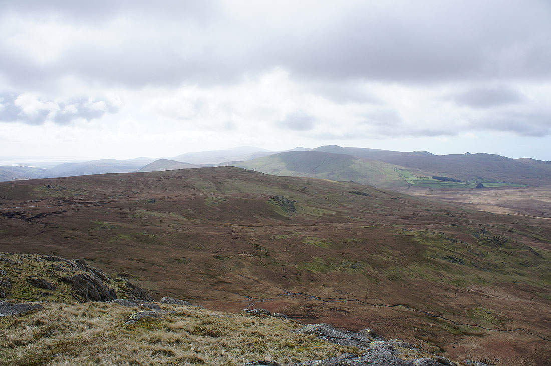
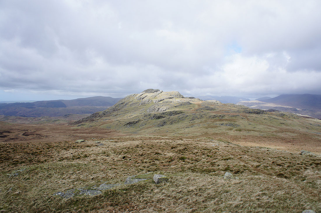
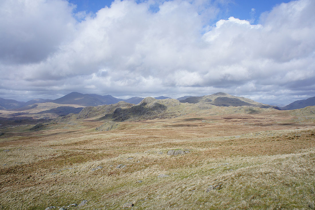
Great Worm Crag on the other side of White Moss. Behind it are The Pike and Hesk Fell.
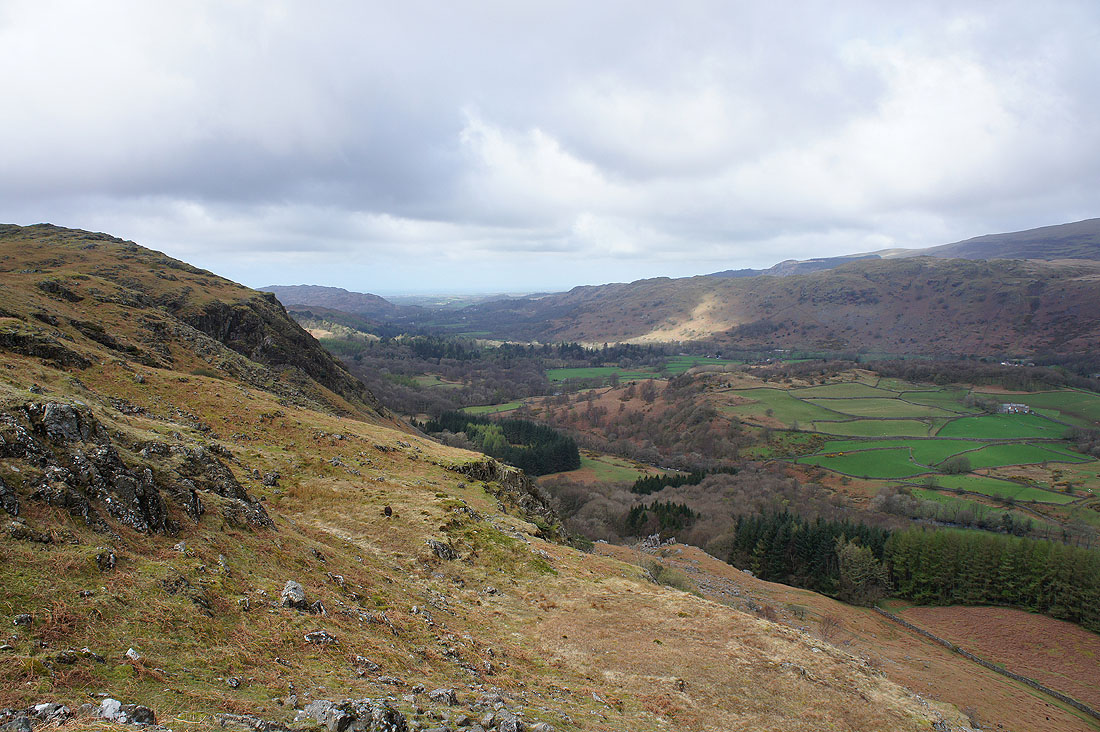
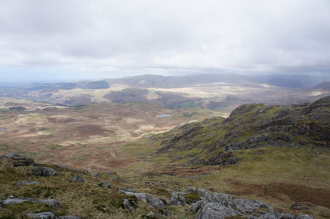
Looking towards Devoke Water
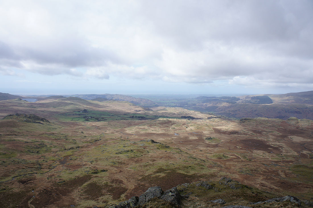
Looking down Eskdale towards the coast. I see Muncaster Fell, what will end up being my walk for tomorrow.
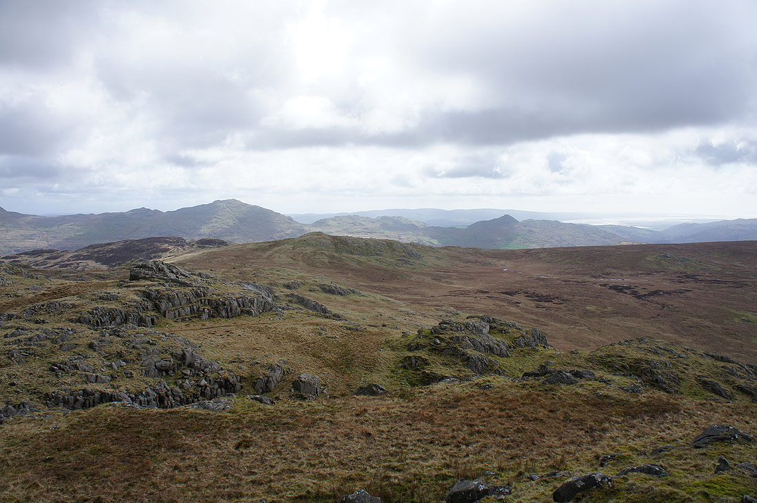
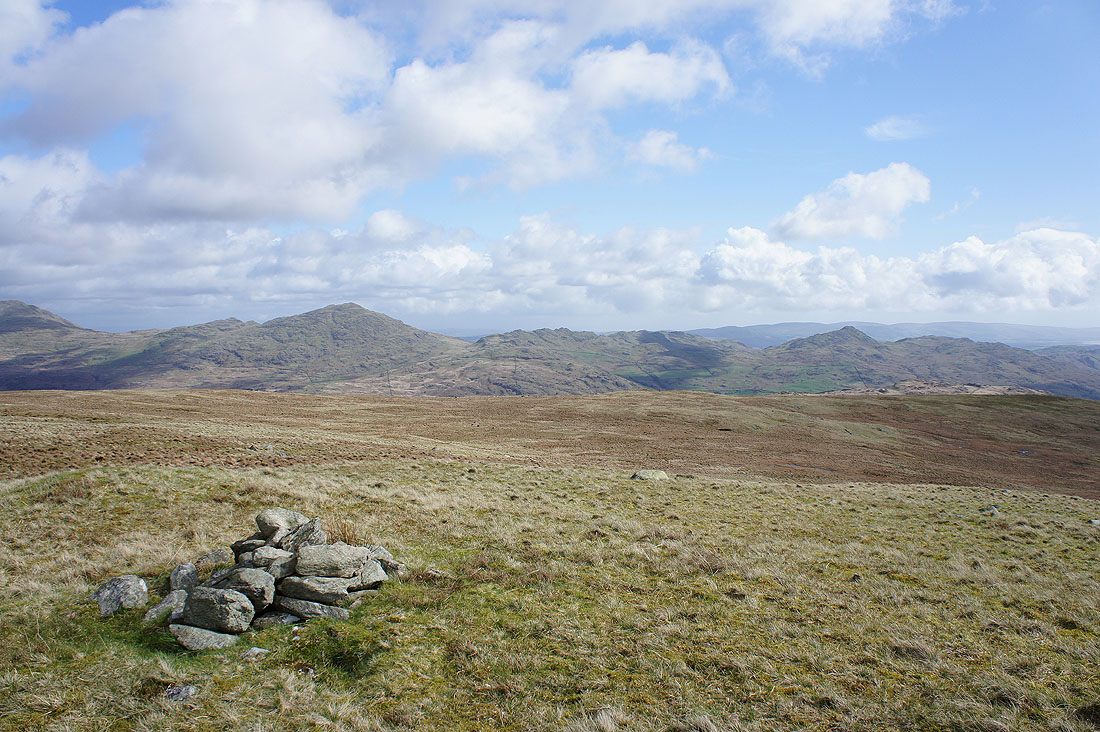
A final shot from Green Crag with Low Birker Tarn below
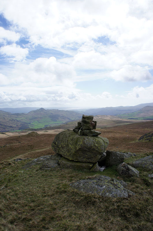
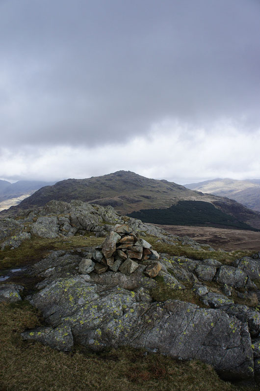
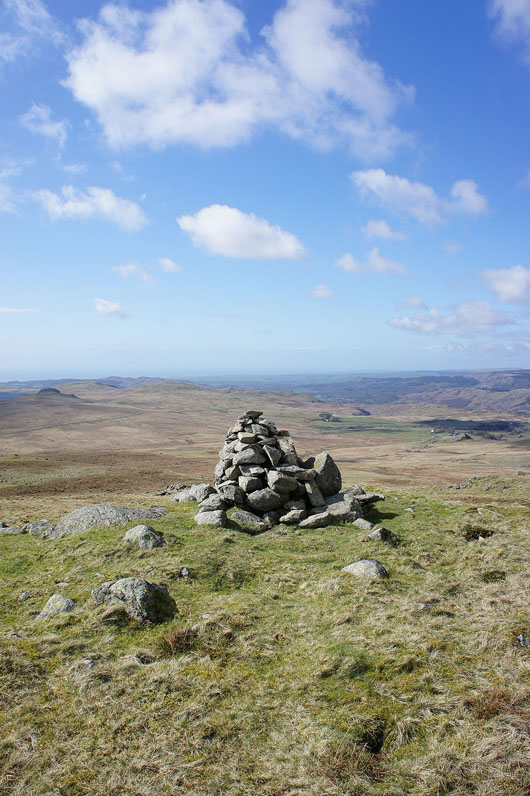
I've arrived at the cairn marking the top of White How
Green Crag
Caw and Stickle Pike on the other side of the Duddon valley
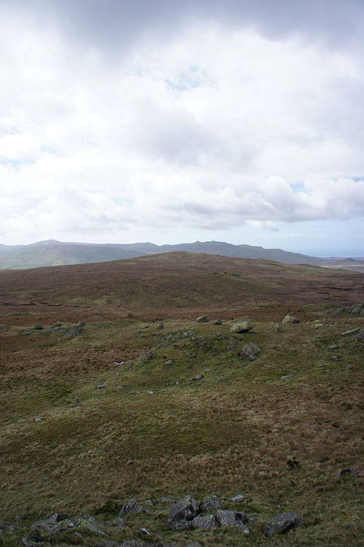
Great Worm Crag on the other side of White Moss. Hopefully it's not too boggy.
The last top of the day, Great Worm Crag. What an improvement in the weather, still windy but the visibility is better and there's a lot more sunshine. The walk across from White How was OK, I've experienced worse.
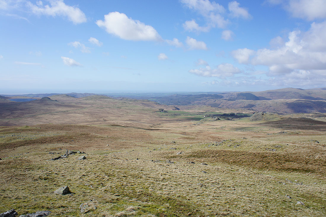
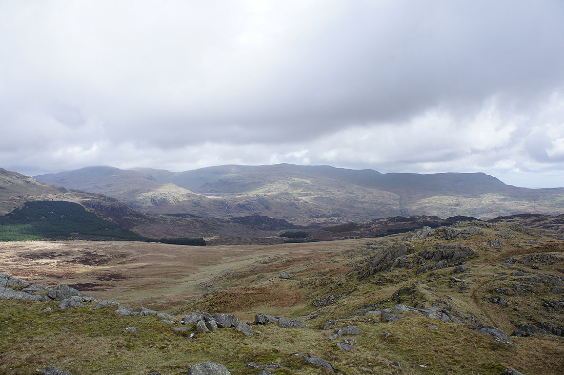
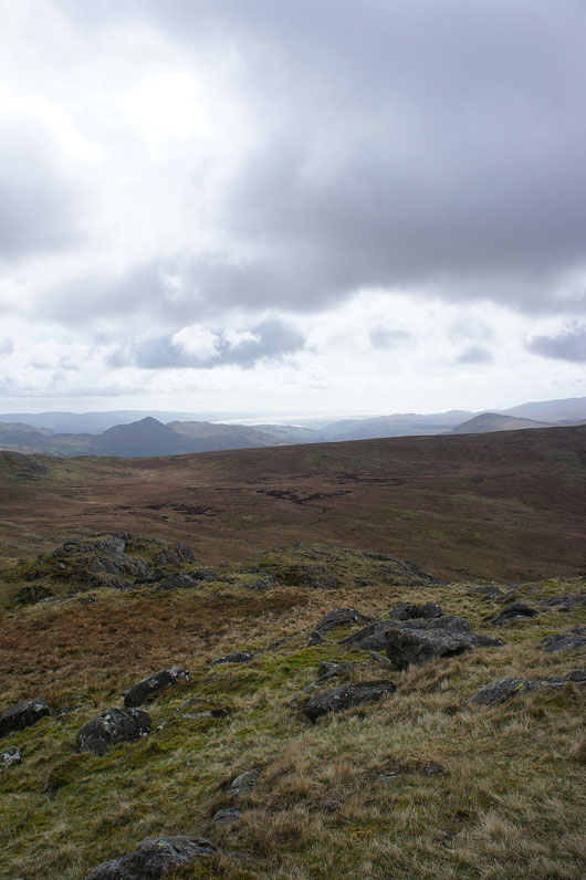
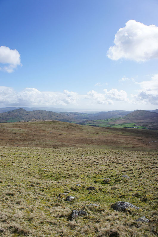
Looking towards Eskdale and the coast
Whin Rigg and Illgill Head with the fells to the west of Wasdale beyond
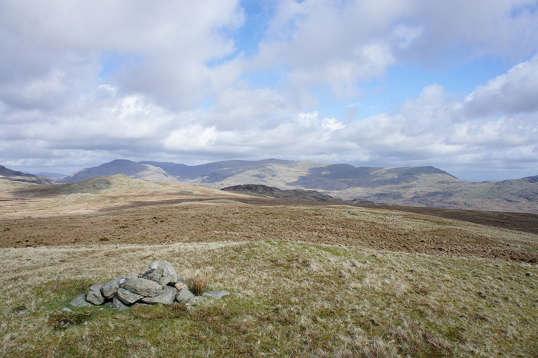
Green Crag with the fells around the head of Eskdale beyond
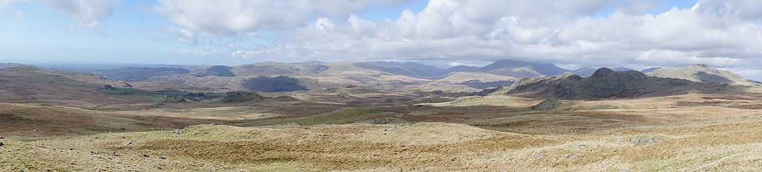
A panorama from west round to north
The Coniston fells
Caw and Stickle Pike
The Duddon valley and estuary
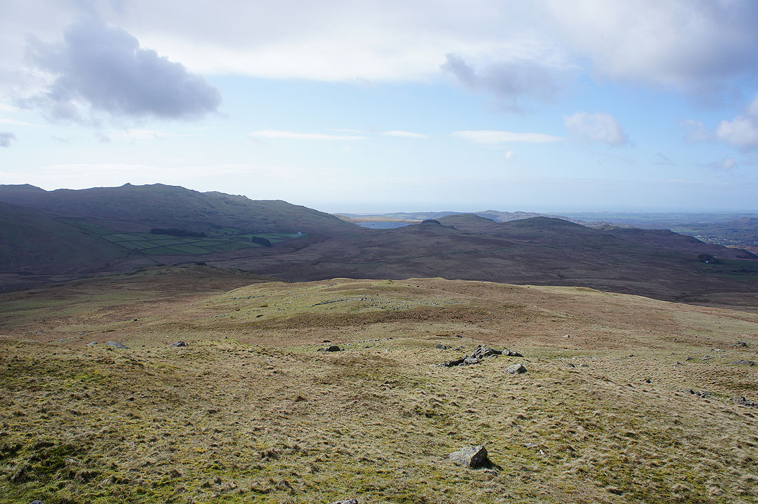
Devoke Water in the shadow cast by the semi-permanent cloud over Black Combe
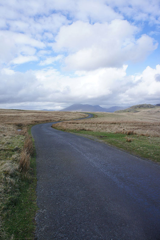
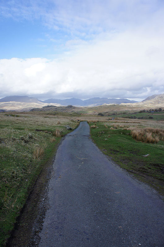
On the Birker Fell road
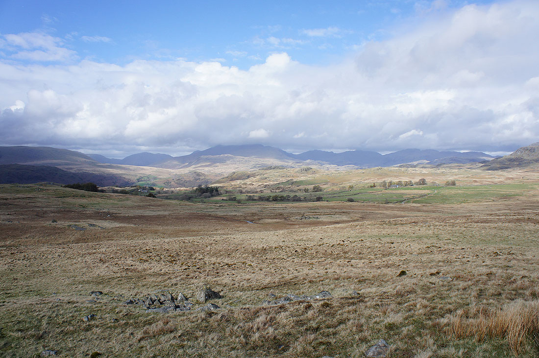
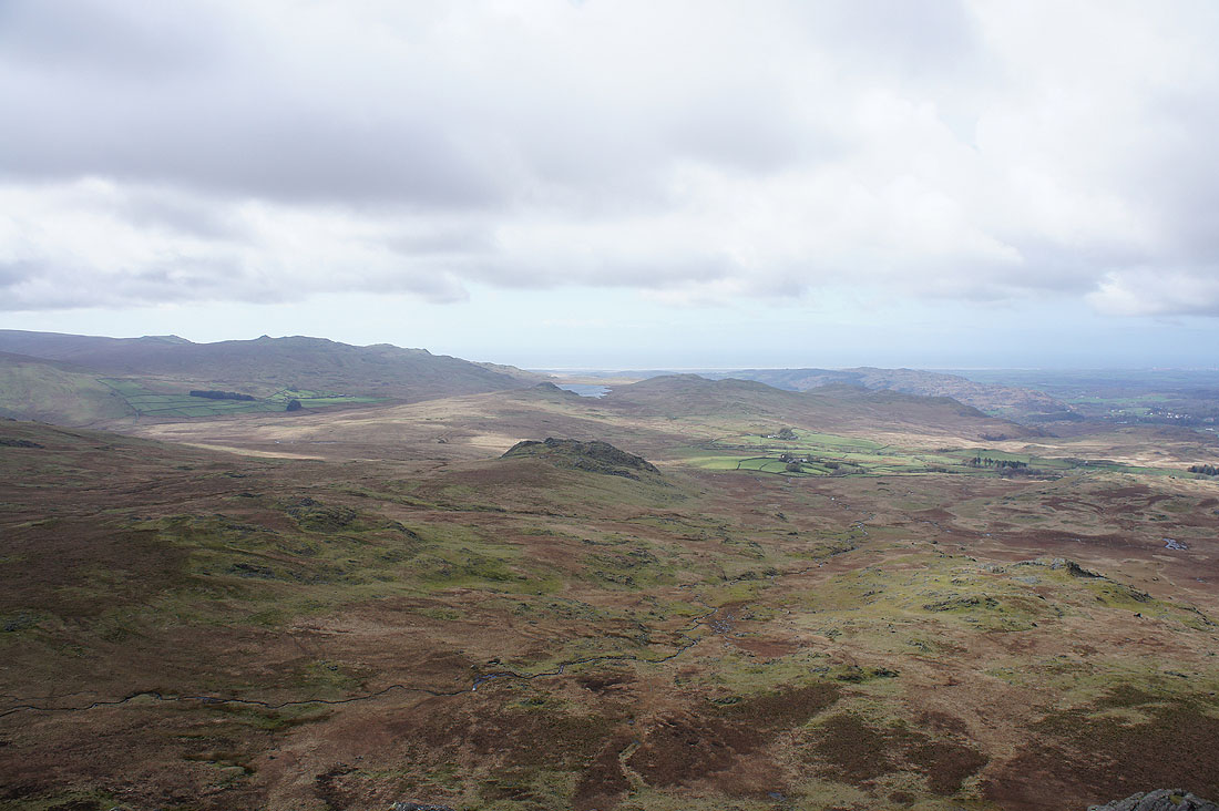
That view from the road that makes you want to stop and take a picture
|
|
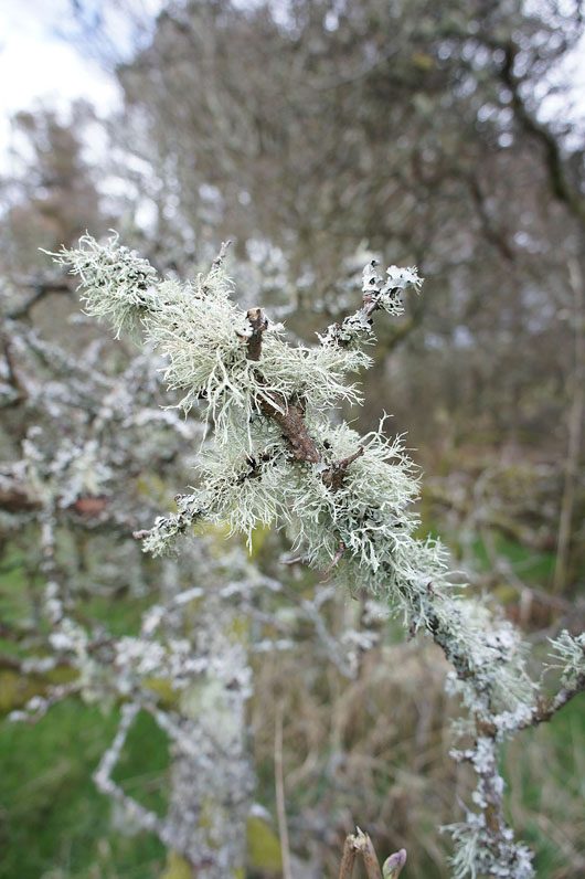
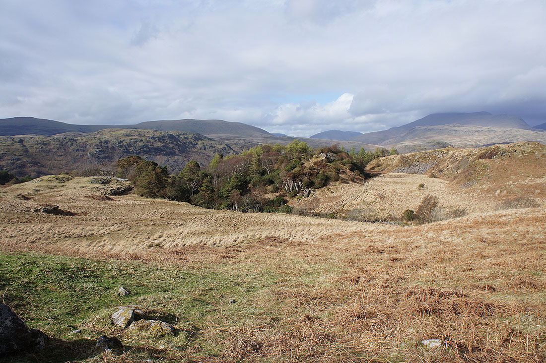
I left the Birker Fell road for the track signed as "Stanley Gill unfit for motors". Passing High Ground there were a number of hawthorns festooned in lichen.
The trees at the top of Stanley Gill. A stile gives access to the rocky viewpoint.
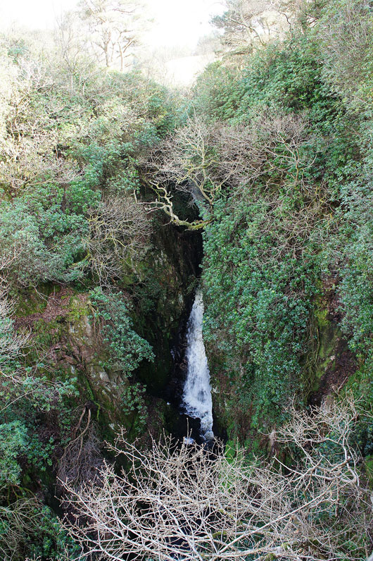
The upper fall from the rocky viewpoint. There's a 150ft sheer drop below me.
|
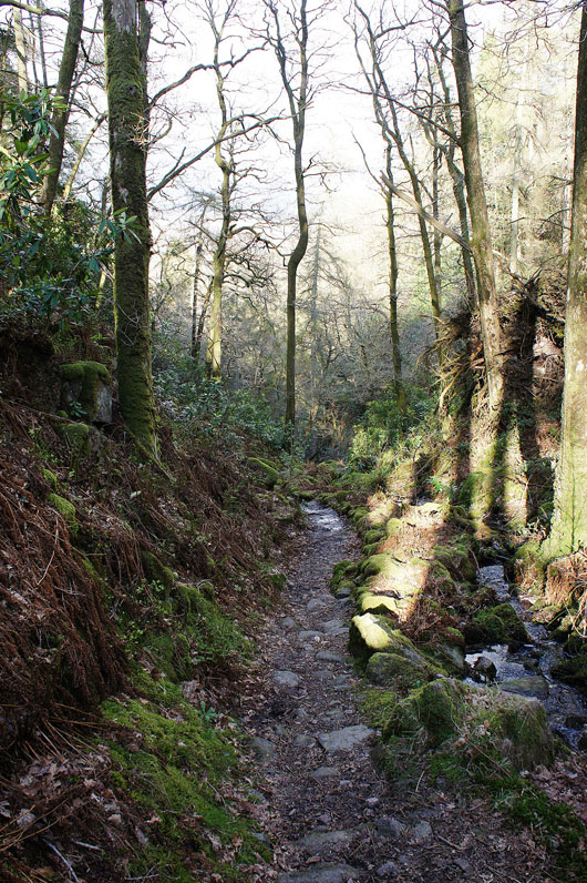
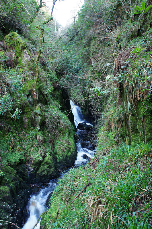
Heading down Stanley Gill
|
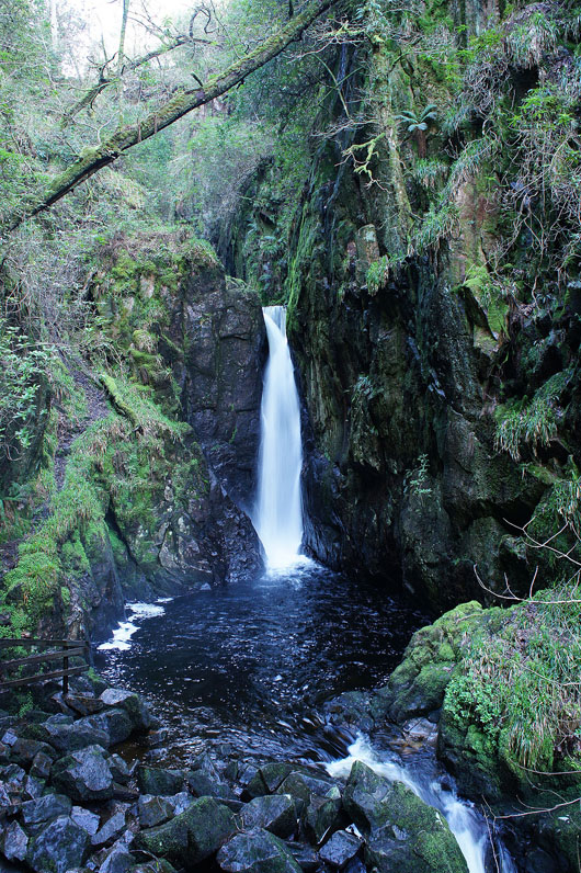
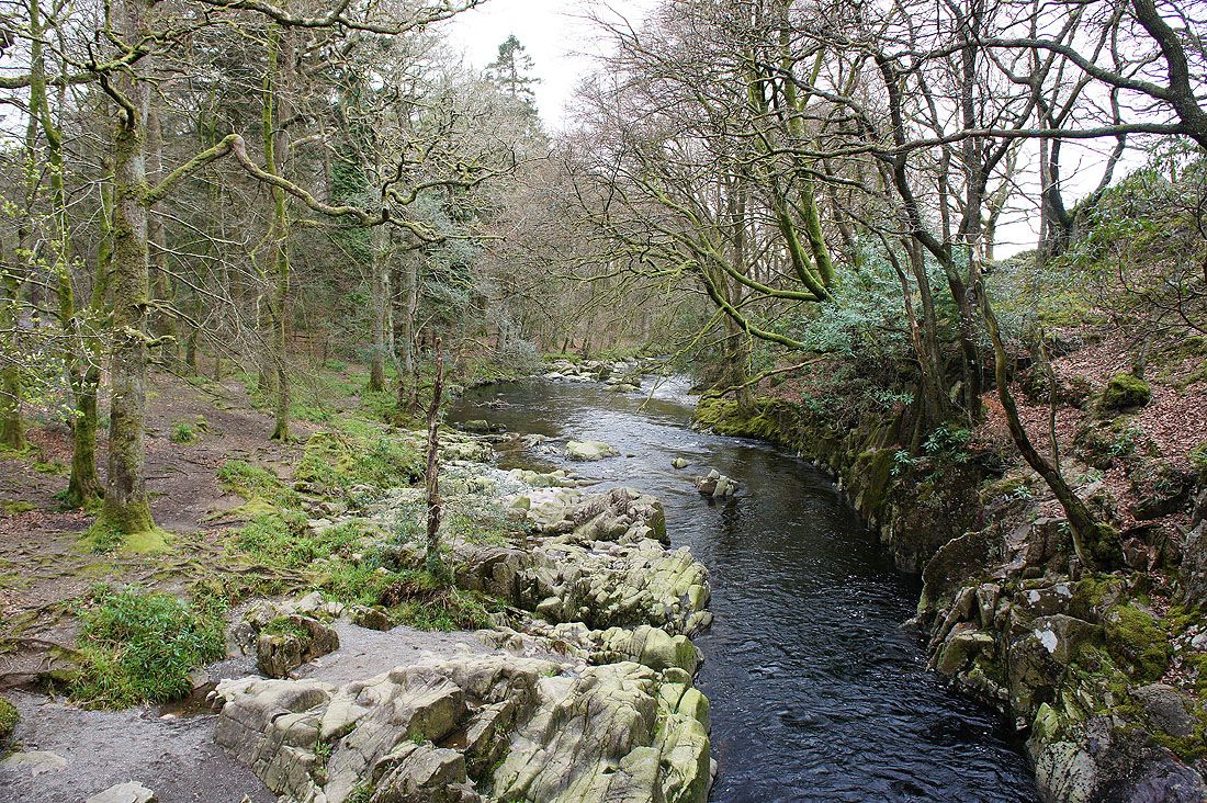
The waterfall of Stanley Force
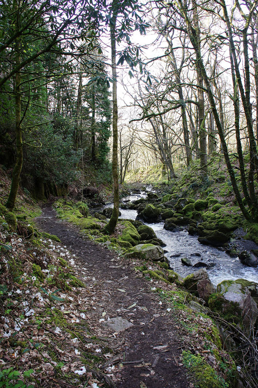
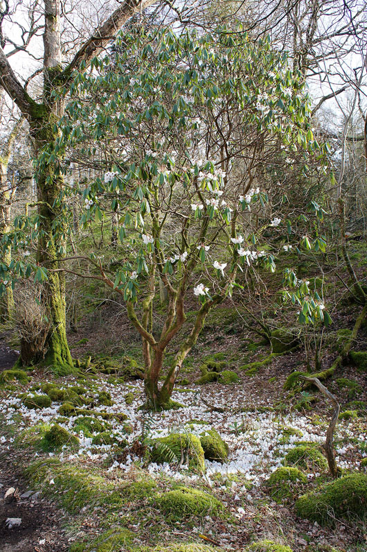
Continuing down Stanley Gill and there are a number of rhododendrons already in flower, taking advantage of the micro-climate..
Across the Esk at Dalegarth
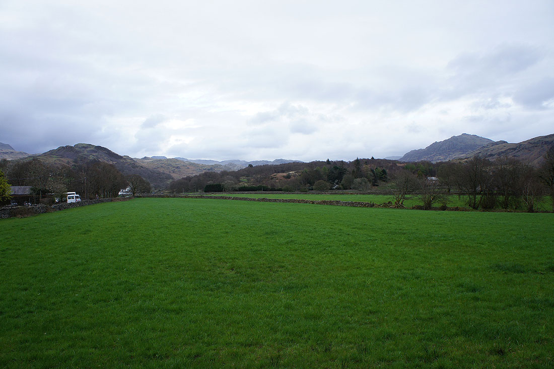
Back in Eskdale and just a short walk to Boot