8th April 2017 - Great Knoutberry Hill
Walk Details
Distance walked: 8.6 miles
Total ascent: 1853 ft
OS map used: OL2 - Yorkshire Dales, Southern & Western areas
Time taken: 6 hrs
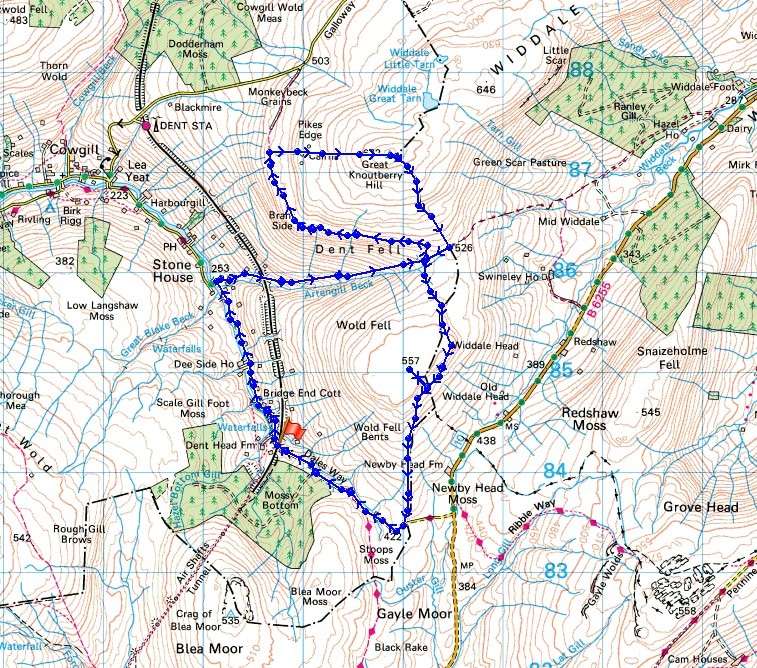
Route description: Dent Head Viaduct-Stone House-Pennine Bridleway-Galloway Gate-Pikes Edge-Great Knoutberry Hill-Pennine Bridleway-Wold Fell-Pennine Bridleway-Newby Head Gate-Dent Head Viaduct
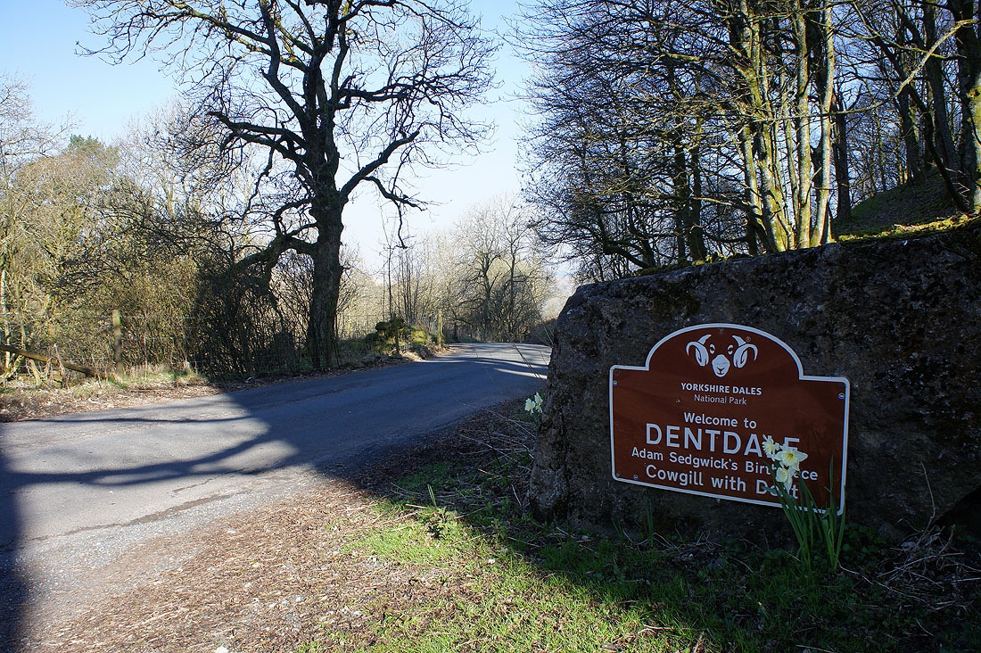
What a beautiful warm spring day for my first visit to Great Knoutberry Hill. This fell separates the valleys of Dentdale to the west and Widdale to the east and during recent years I've gotten very close to paying it a visit with walks on neighbouring fells but never quite made it. With such nice weather forecast for today I was determined that this was going to be the day. I got the route that I followed from a website that I have no hesitation in recommending, myyorkshiredales.co.uk by Matthew o'Brien. If you want more information and ideas for walks in the Yorkshire Dales than I can provide then pay it a visit. The only fly in the ointment was the visibility, a pretty thick haze restricted the views to the neighbouring hills, which was especially disappointing for the view of Dentdale from the bridleway of Galloway Gate on the side of Great Knoutberry Hill. It's a classic and I can see myself doing this walk again, maybe as early as later this year to get a better photo of it. A fine, clear day in early autumn would be ideal.
From the layby below the Dent Head Viaduct I set off by walking along the road down into Dentdale to the hamlet of Stone House and Stone House Bridge. The road was left behind for the Pennine Bridleway which passes Stonehouse Farm and heads up Arten Gill beneath the Arten Gill Viaduct. At its top I turned left and took the Galloway Gate bridleway (still part of the Pennine Bridleway), which I followed west and then north round the side of Great Knoutberry Hill. When it reached a gate at some sheepfolds and a fence I headed uphill, I left the bridleway behind to follow the fence up to the cairns on Pikes Edge. Lunch was taken here and then it was uphill once more to the trig point on the summit of Great Knoutberry Hill. After taking in the view I continued by following the wall south off the summit and down to the byway that had made its way up from Widdale. A right turn and I was soon back to where I was earlier in the day, the top of the bridleway up Arten Gill. Here I turned left and took the bridleway that runs south across the side of Wold Fell and down to Newby Head Gate. To get to the top of Wold Fell I had to wait until I passed through a gate with a broken wall on the right so that I could leave the bridleway. Once at Newby Head Gate I just had the walk down the road into Dentdale to the Dent Head Viaduct to finish.
Total ascent: 1853 ft
OS map used: OL2 - Yorkshire Dales, Southern & Western areas
Time taken: 6 hrs
Route description: Dent Head Viaduct-Stone House-Pennine Bridleway-Galloway Gate-Pikes Edge-Great Knoutberry Hill-Pennine Bridleway-Wold Fell-Pennine Bridleway-Newby Head Gate-Dent Head Viaduct
What a beautiful warm spring day for my first visit to Great Knoutberry Hill. This fell separates the valleys of Dentdale to the west and Widdale to the east and during recent years I've gotten very close to paying it a visit with walks on neighbouring fells but never quite made it. With such nice weather forecast for today I was determined that this was going to be the day. I got the route that I followed from a website that I have no hesitation in recommending, myyorkshiredales.co.uk by Matthew o'Brien. If you want more information and ideas for walks in the Yorkshire Dales than I can provide then pay it a visit. The only fly in the ointment was the visibility, a pretty thick haze restricted the views to the neighbouring hills, which was especially disappointing for the view of Dentdale from the bridleway of Galloway Gate on the side of Great Knoutberry Hill. It's a classic and I can see myself doing this walk again, maybe as early as later this year to get a better photo of it. A fine, clear day in early autumn would be ideal.
From the layby below the Dent Head Viaduct I set off by walking along the road down into Dentdale to the hamlet of Stone House and Stone House Bridge. The road was left behind for the Pennine Bridleway which passes Stonehouse Farm and heads up Arten Gill beneath the Arten Gill Viaduct. At its top I turned left and took the Galloway Gate bridleway (still part of the Pennine Bridleway), which I followed west and then north round the side of Great Knoutberry Hill. When it reached a gate at some sheepfolds and a fence I headed uphill, I left the bridleway behind to follow the fence up to the cairns on Pikes Edge. Lunch was taken here and then it was uphill once more to the trig point on the summit of Great Knoutberry Hill. After taking in the view I continued by following the wall south off the summit and down to the byway that had made its way up from Widdale. A right turn and I was soon back to where I was earlier in the day, the top of the bridleway up Arten Gill. Here I turned left and took the bridleway that runs south across the side of Wold Fell and down to Newby Head Gate. To get to the top of Wold Fell I had to wait until I passed through a gate with a broken wall on the right so that I could leave the bridleway. Once at Newby Head Gate I just had the walk down the road into Dentdale to the Dent Head Viaduct to finish.
Route map
© Crown copyright. All rights reserved. License number PU 100034184.
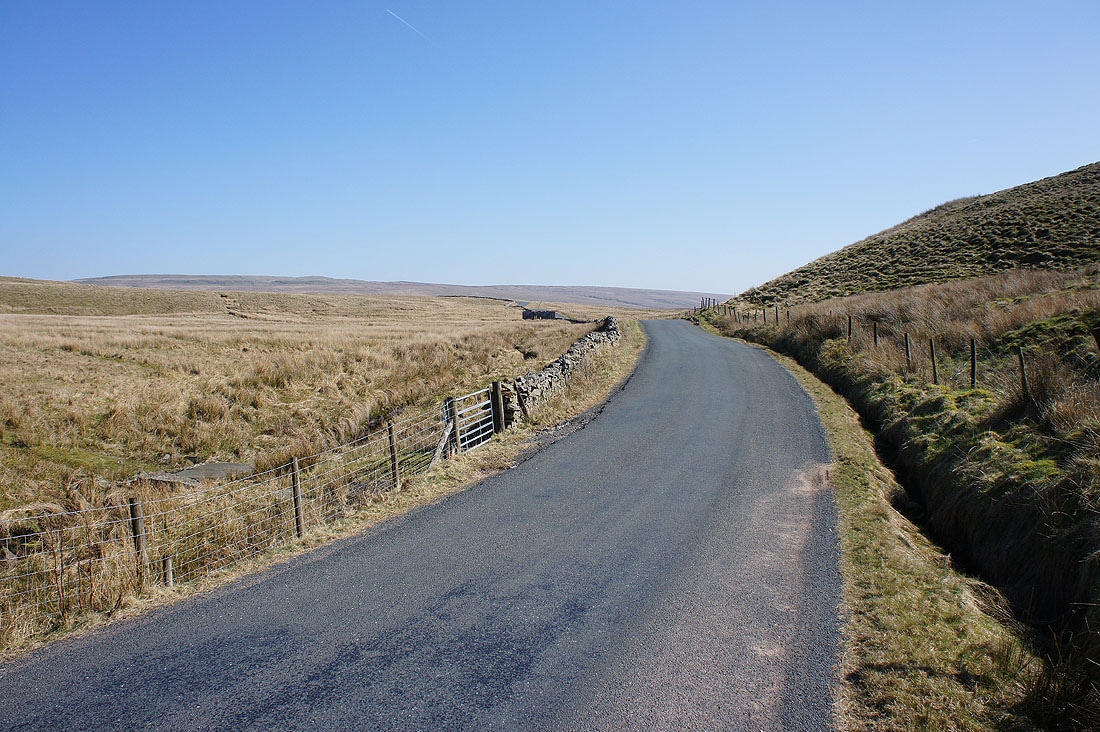
At the top of Dentdale where I parked next to the Dent Head Viaduct
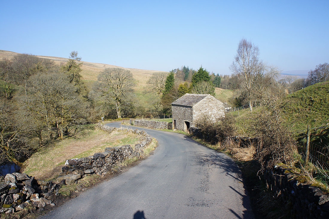
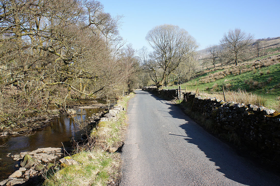
I start with walking down the road towards the hamlet of Stone House
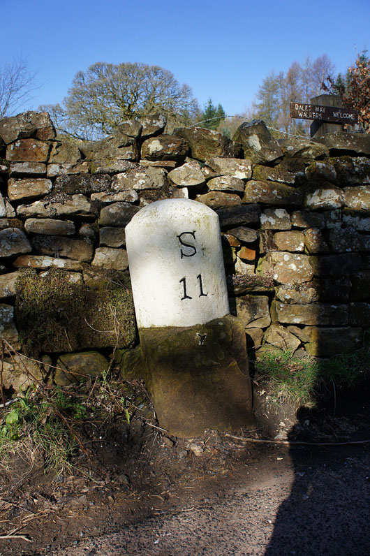
Eleven miles to Sedbergh
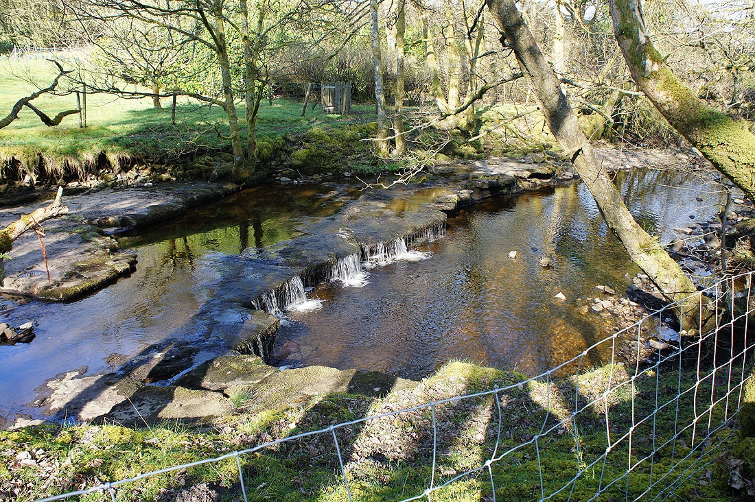
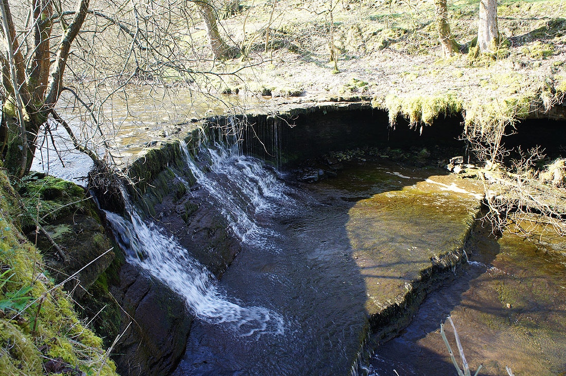
The road is joined by the infant River Dee which flows along a bare sandstone bed and drops down in a series of small waterfalls.....
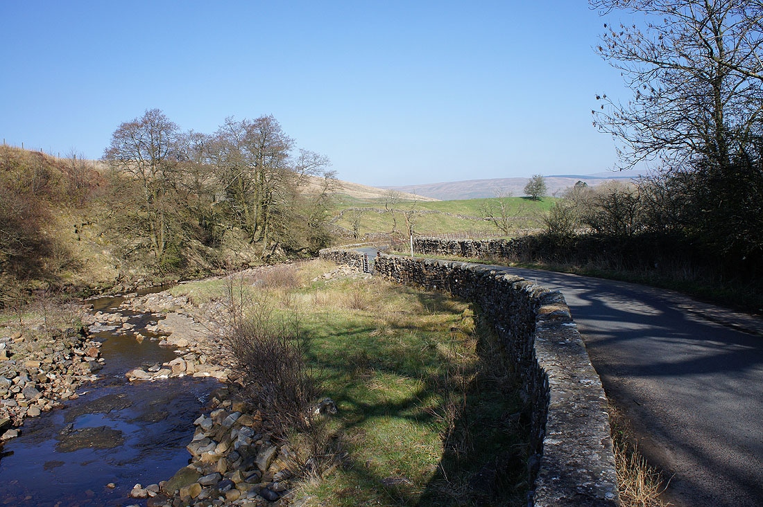
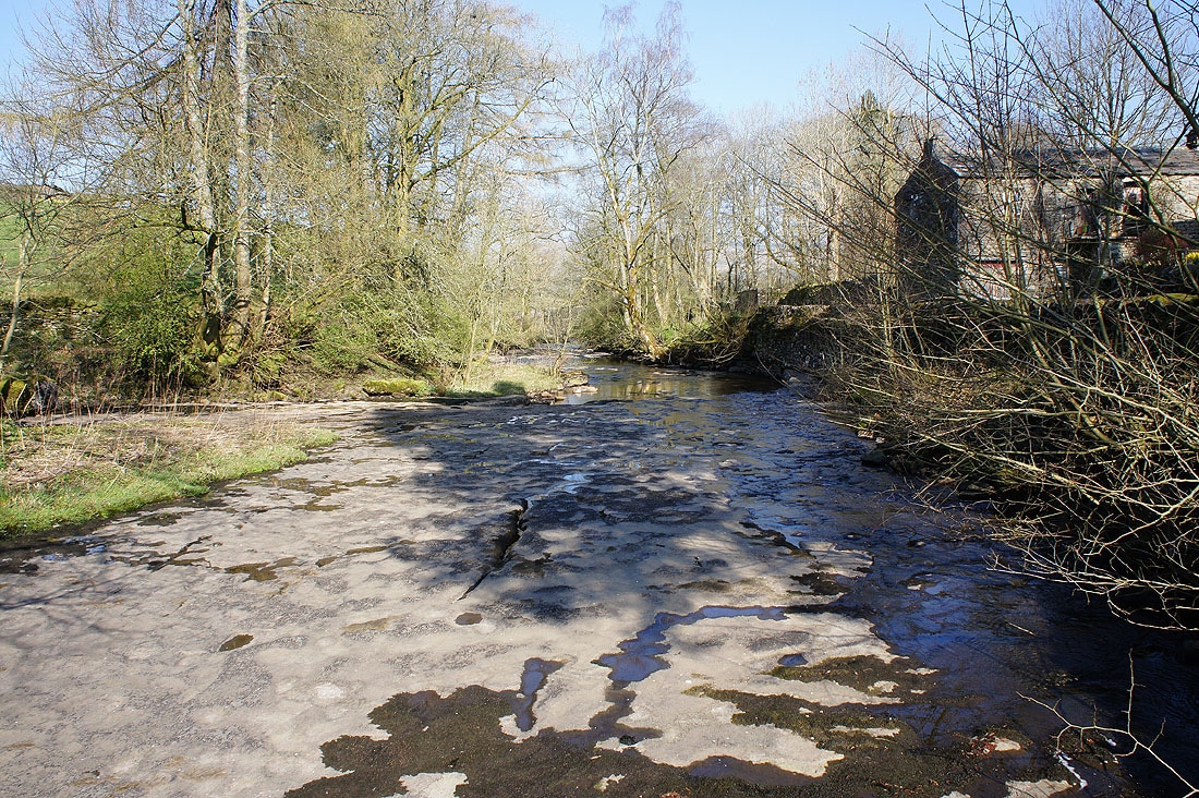
Leaving the river behind at Stone House Bridge
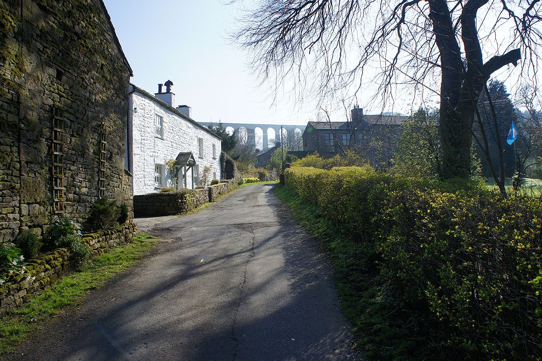
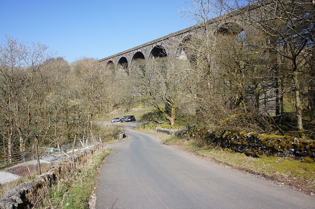
The Arten Gill Viaduct ahead as I pass Stonehouse Farm
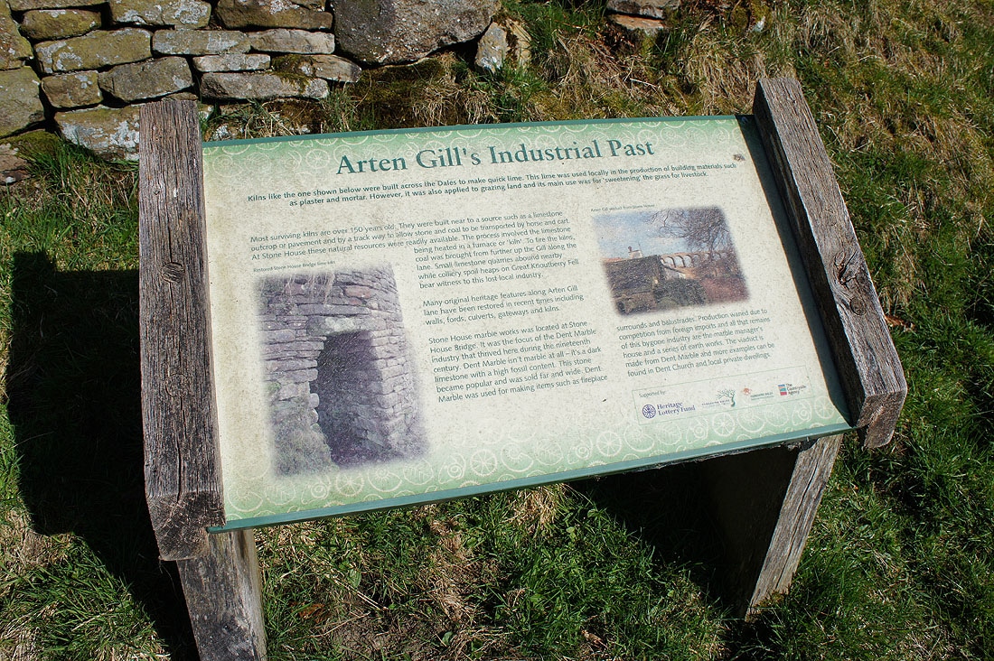
Information board at the entrance to Arten Gill

Arten Gill and Arten Gill Viaduct
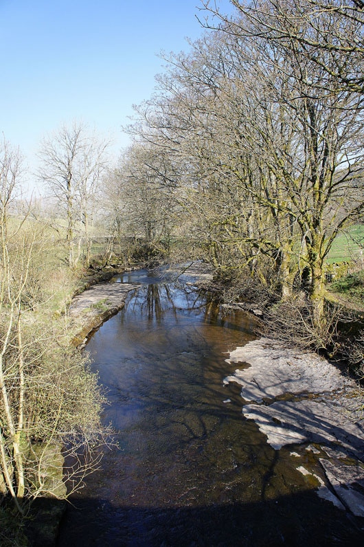
Looking back down on Stone House as I follow the bridleway up Arten Gill
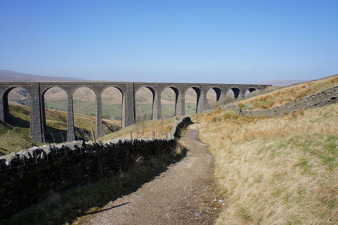
and on the Arten Gill Viaduct as I continue uphill...
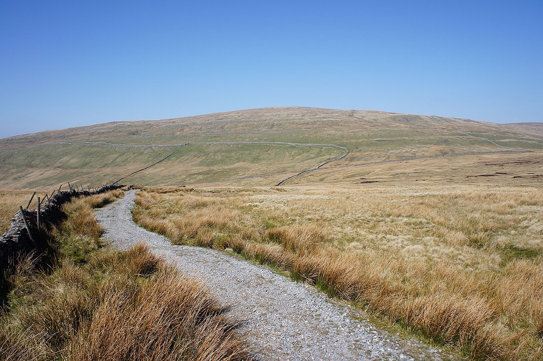
A hazy view of Whernside and Great Coum as I join the Galloway Gate bridleway
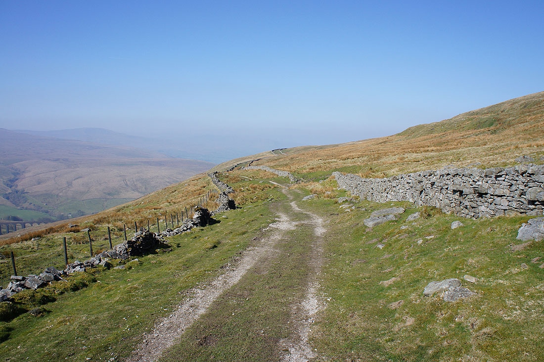
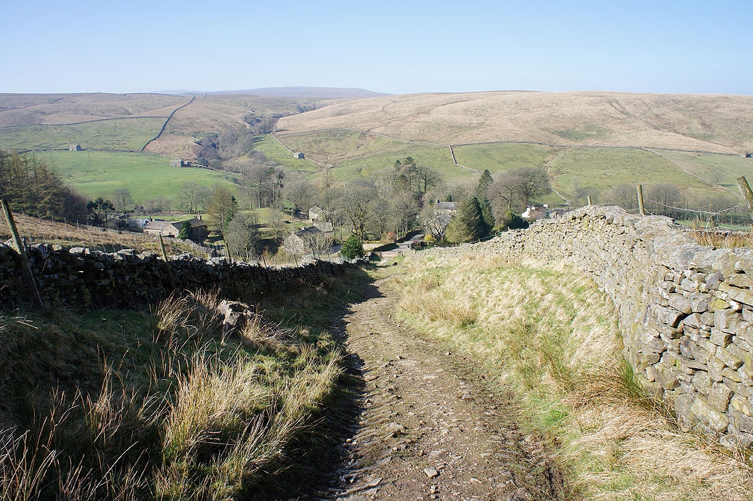
Easy walking as it follows the contours across the hillside
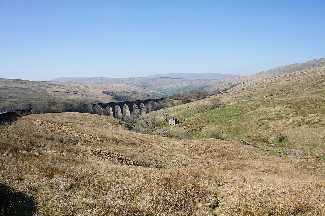
It gives great views of the Arten Gill Viaduct below..
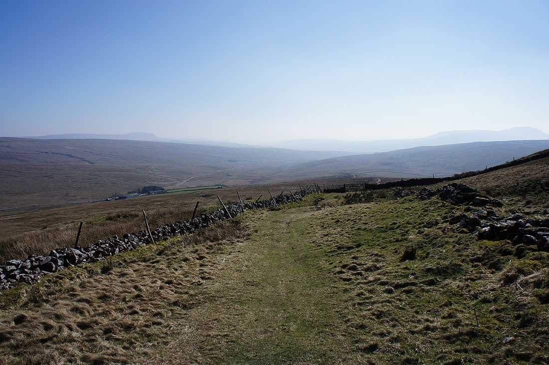
..and then down the length of Dentdale. I'll definitely be doing this walk again when I'm guaranteed much better visibility.
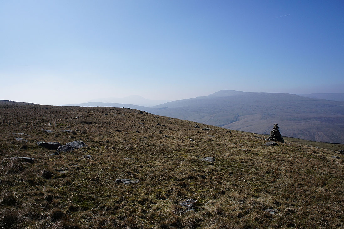
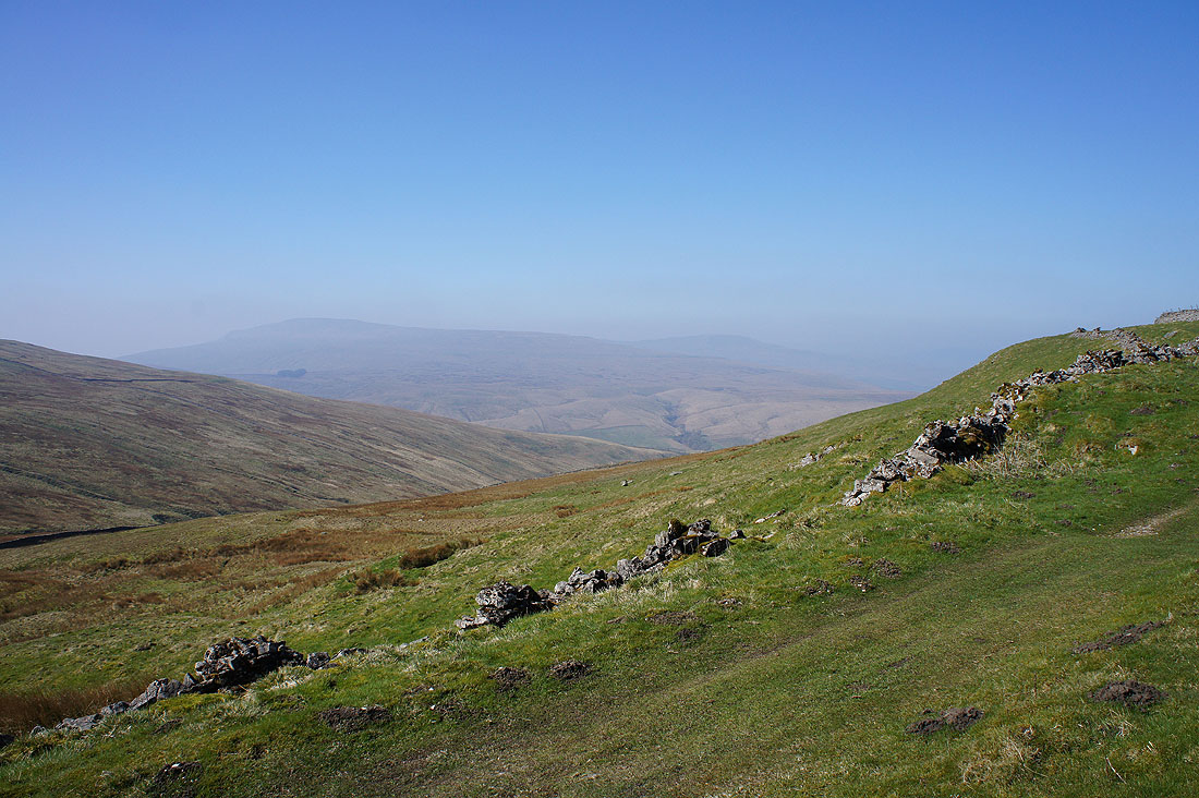
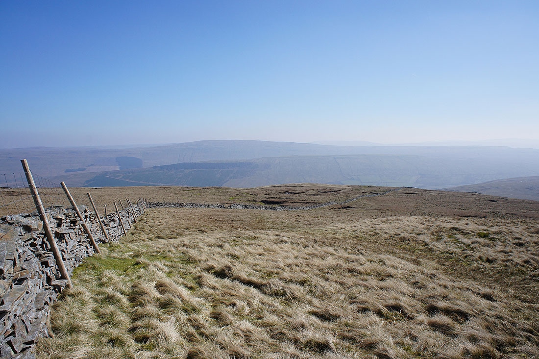
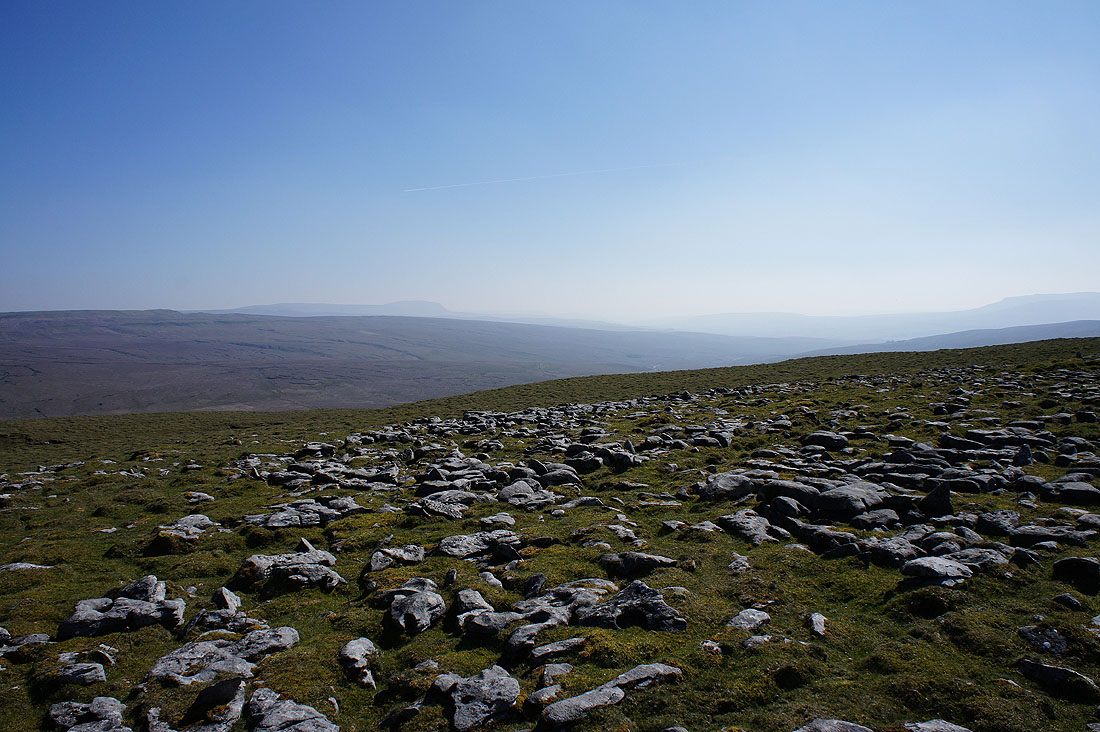
I left the bridleway to follow a fence uphill to the cairns on Pikes Edge, which I could see from below. Ingleborough just visible through the haze and Whernside.

Dentdale with Great Coum and Aye Gill Pike to left and right
Aye Gill Pike and Baugh Fell
Baugh Fell and Wild Boar Fell
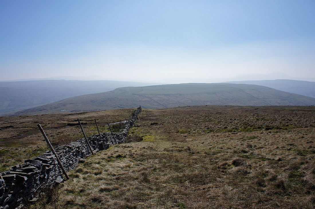
Looking back to Pikes Edge as I follow the fence up to the summit
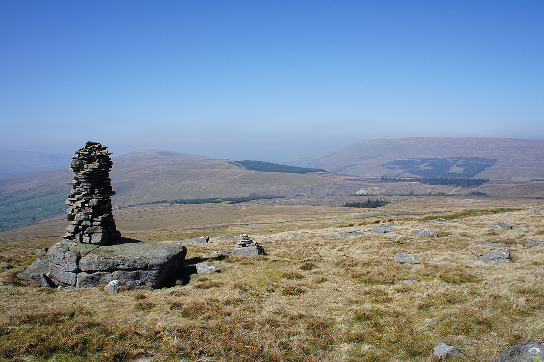
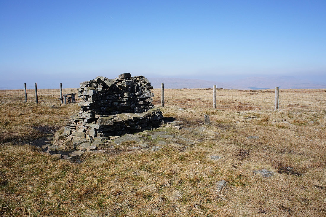
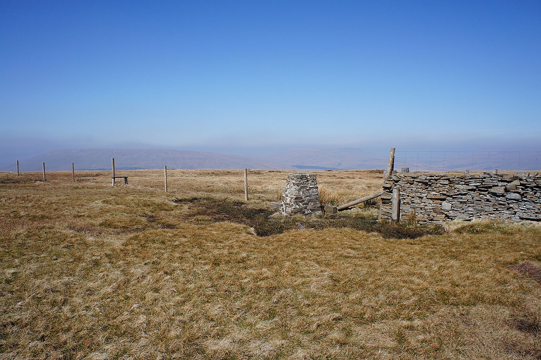
At the trig point on the summit of Great Knoutberry Hill
A handily placed seat should you need it. I had my lunch on Pikes Edge though.
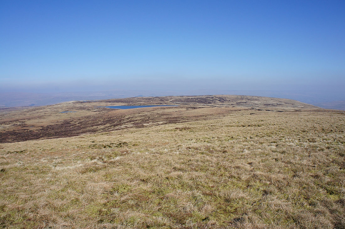
Widdale Great Tarn sat on its moorland shelf
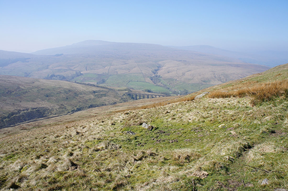
Blea Moor and Whernside
Baugh Fell and Wild Boar Fell
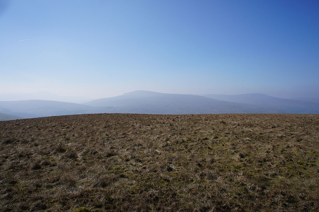
Blea Moor, Whernside and Great Coum. I can just about make out Ingleborough in the distance on the left.
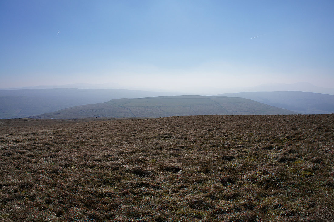
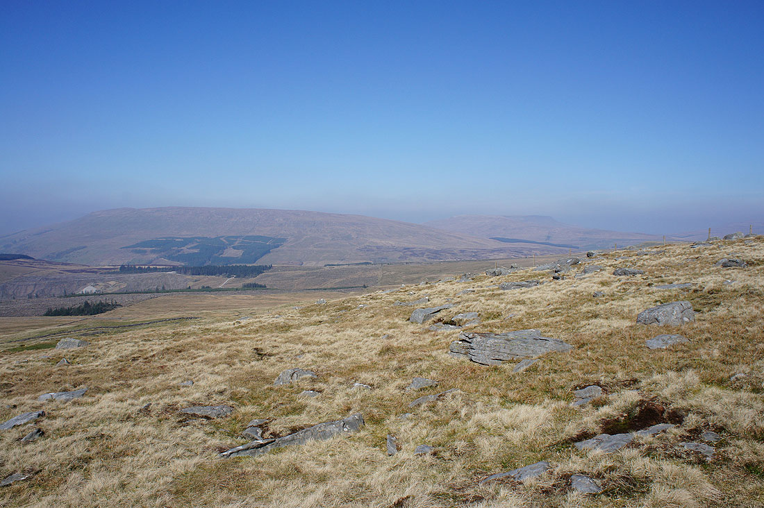
Wold Fell, which will be my next destination
A final shot from the summit looking west to Great Coum, a very hazy Middleton Fell and Aye Gill Pike
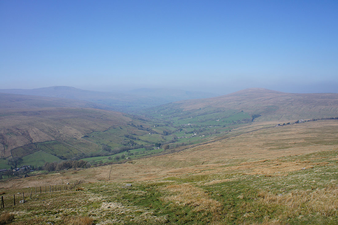
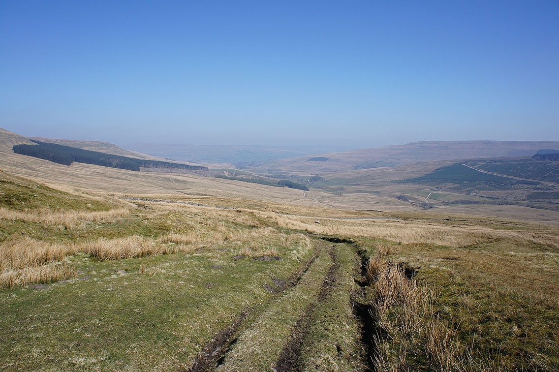
Dodd Fell Hill and Snaizeholme Fell as I follow the wall down to the top of the bridleway up from Widdale
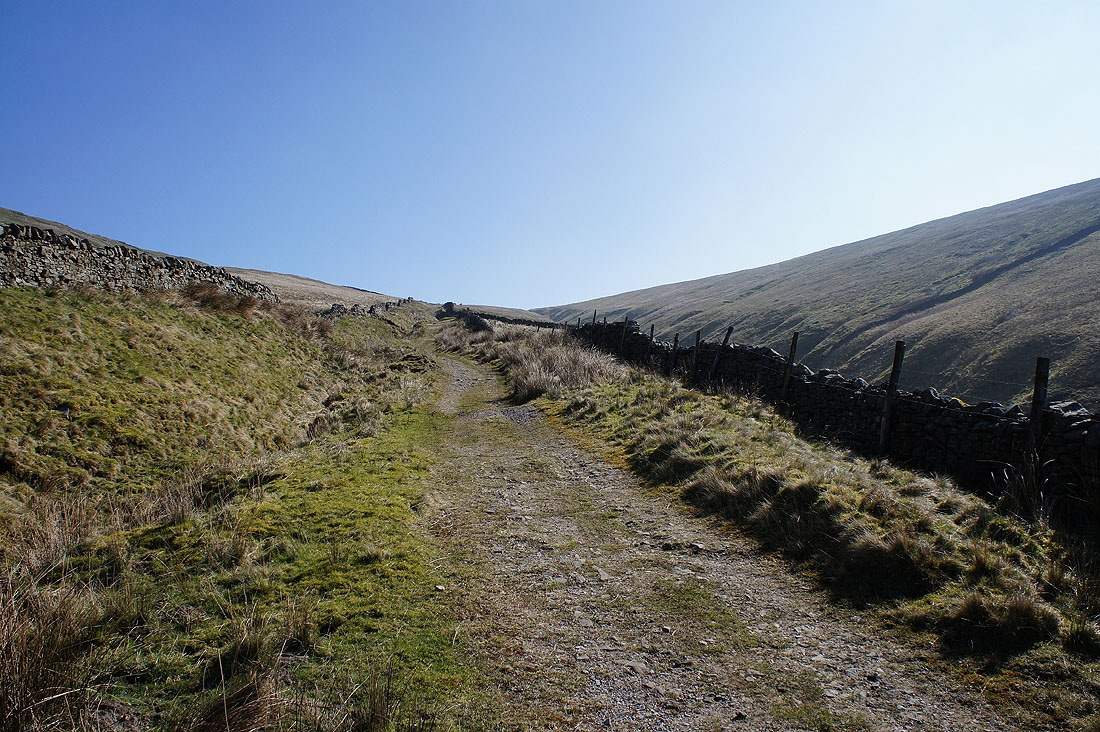
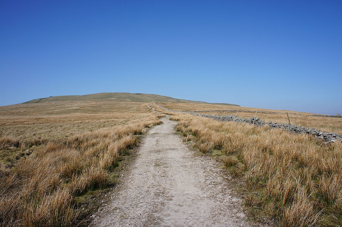
Wold Fell ahead
A quick look down Widdale from the top of the bridleway
and this is where I cross paths with where I was earlier in the day, as I approach the top of the bridleway up Arten Gill
Looking back as I head for Wold Fell and I can see how the Galloway Gate bridleway sets a level course across the side of Great Knoutberry Hill
Exposed limestone on Wold Fell
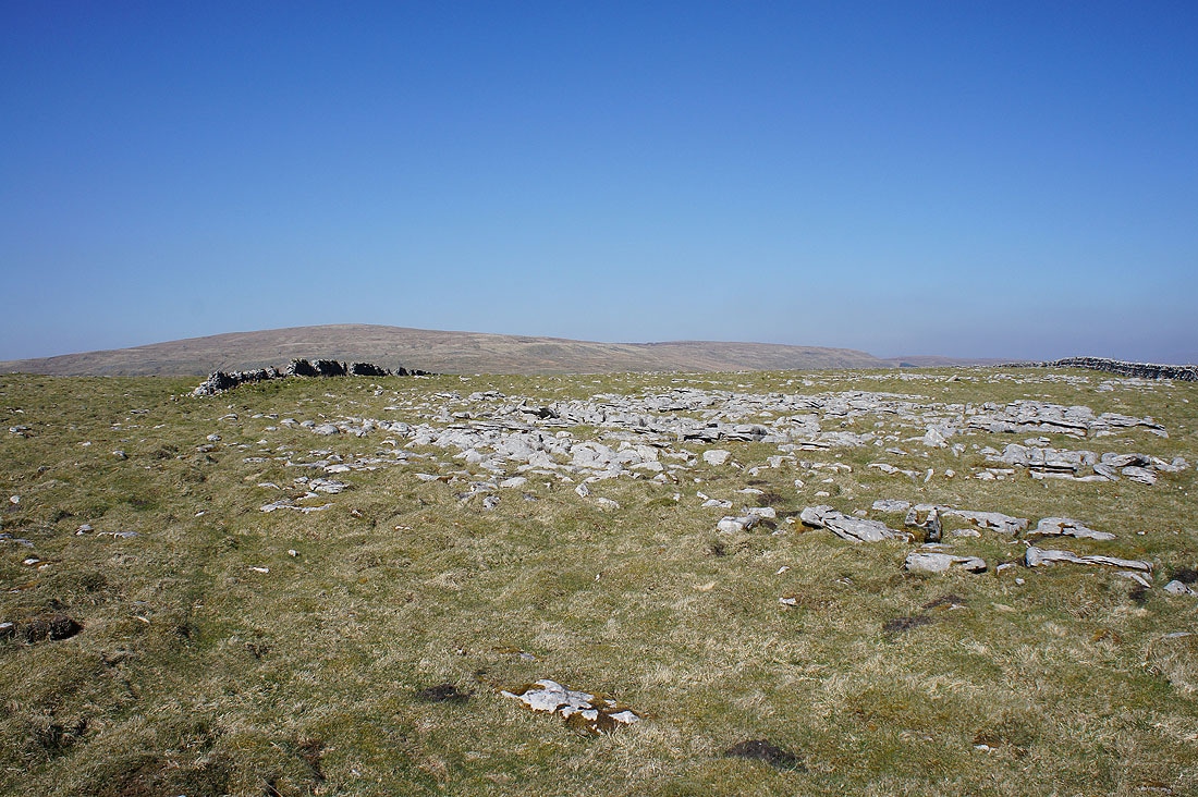
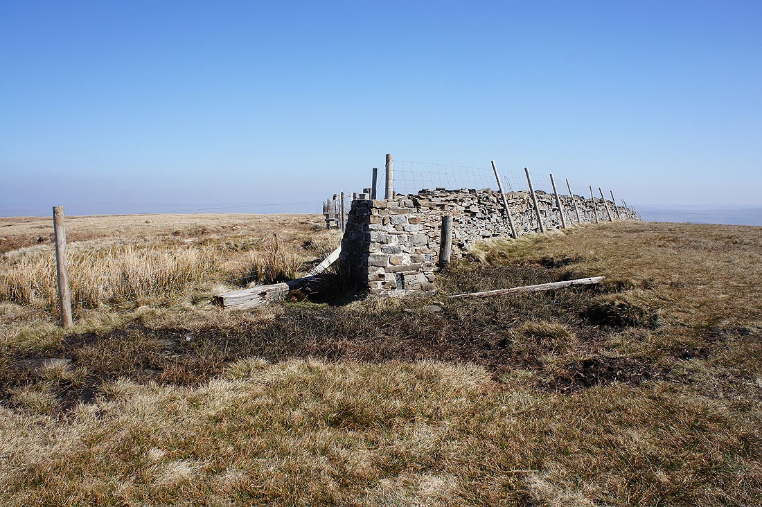
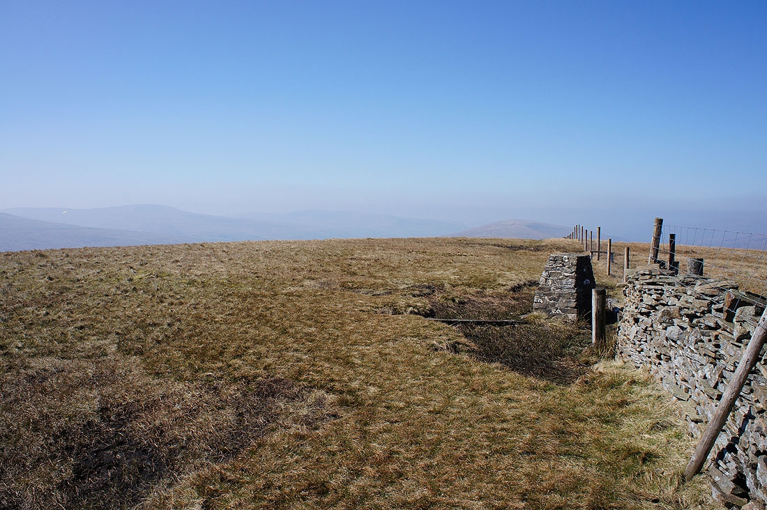
Great Knoutberry Hill behind the broken wall on the summit
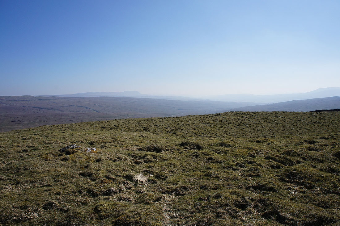
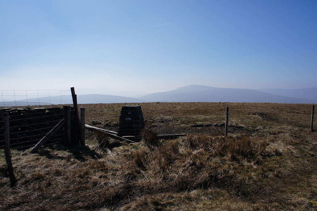
The top of Wold Fell is very flat and it's not easy trying to decide where its high point is. Here seemed as likely a place as any. Looking towards Penyghent and Ribblesdale.
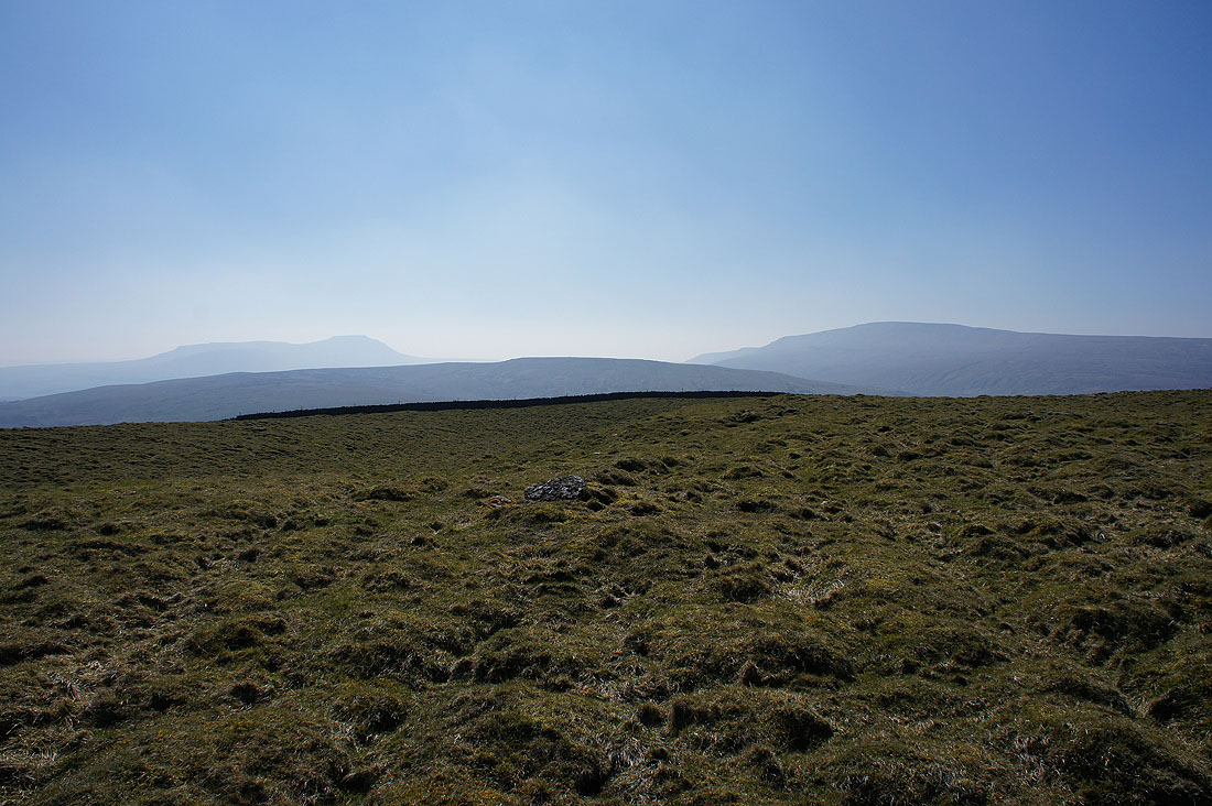
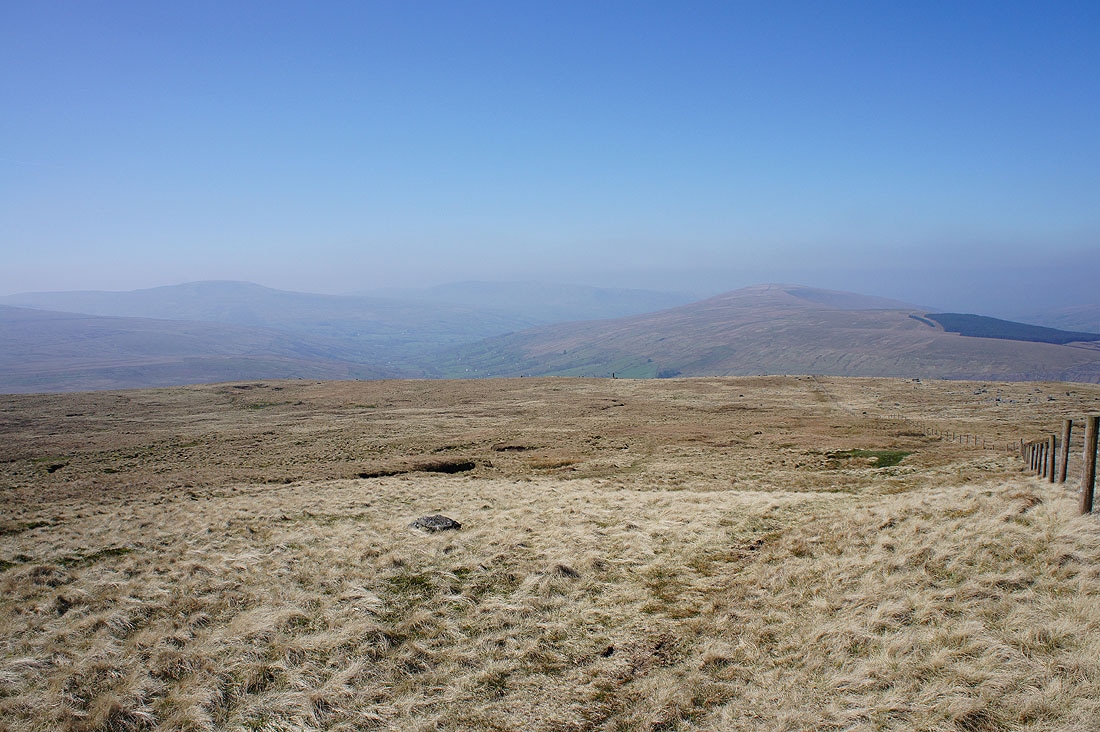
Ingleborough, Blea Moor and Whernside
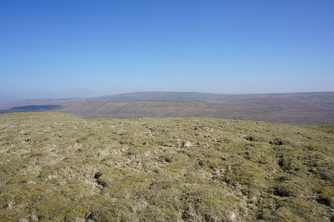
Dodd Fell Hill behind Snaizeholme Fell
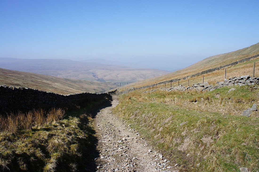
Back onto the bridleway to Newby Head Gate
Looking back to Wold Fell
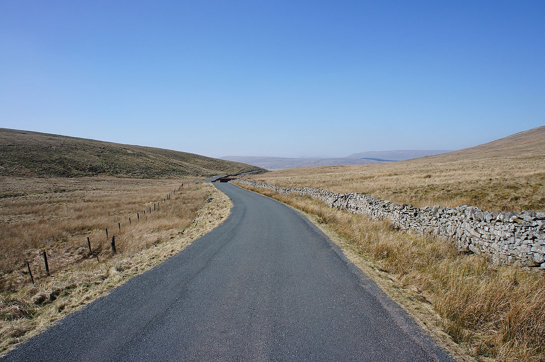
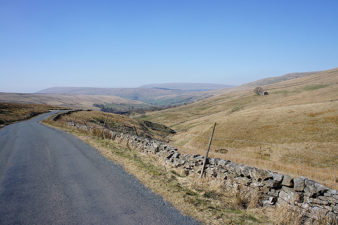
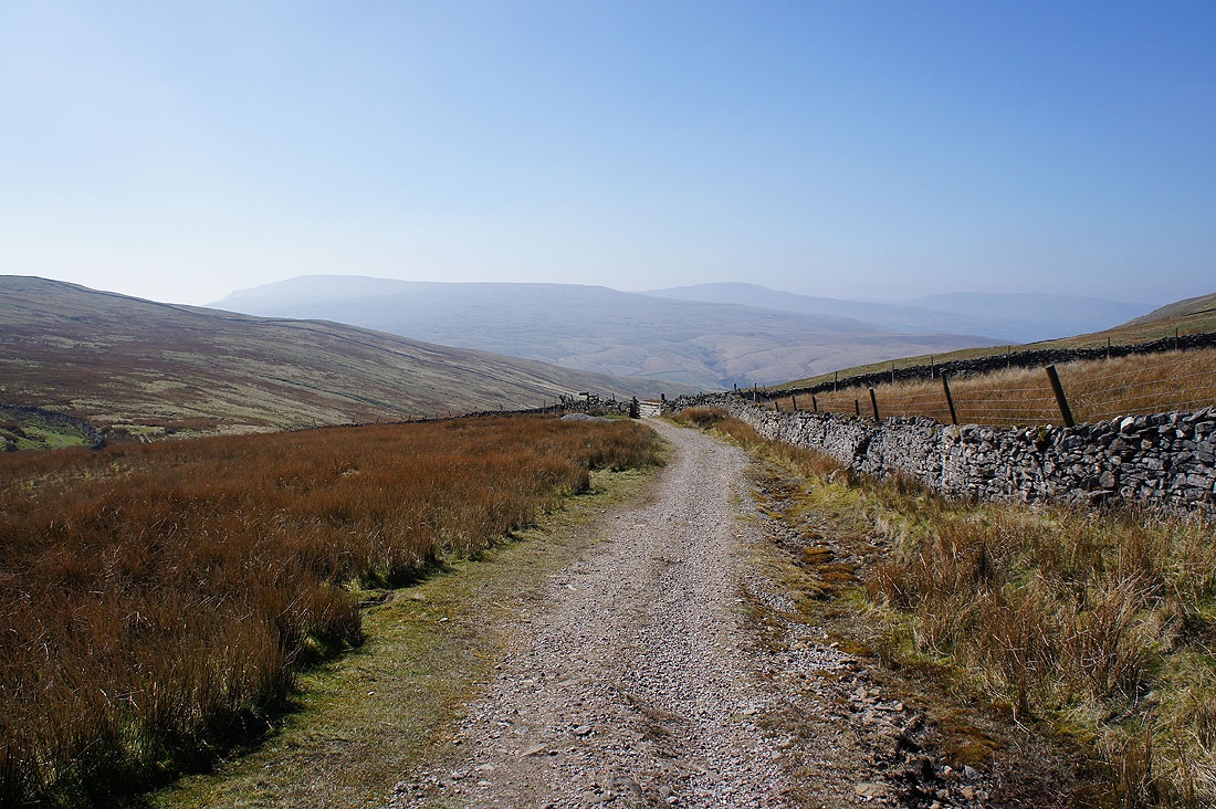
My walk finishes with following the road from Newby Head Gate down into Dentdale to the Dent Head Viaduct. It's pretty quiet and the view ahead isn't bad as the valley starts to open up before you.....