8th April 2018 - White Hill and Millstone Edge
Walk Details
Distance walked: 13.7 miles
Total ascent: 1955 ft
OS map used: OL21 - South Pennines
Time taken: 6 hrs
Route description: Ogden Reservoir-Kitcliffe Reservoir-Tunshill Lane-Windy Hill-Pennine Way-White Hill-Pennine Way-Millstone Edge-Oldham Way-Castleshaw Moor-Pennine Bridleway-Dowry Road-Denshaw Moor-Readycon Dean Reservoir-Pennine Bridleway-A672-Pennine Bridleway-Hanging Lees Reservoir-Piethorne Reservoir-Kitcliffe Reservoir-Ogden Reservoir
My long walk of the weekend and I worked out this route to take in some of the moors of the watershed in the South Pennines and a part of the Pennine Way that I had yet to visit, namely the bit between White Hill and Millstone Edge. The weather was wasn't too bad for spending the day up on the moors, fairly mild with a gentle breeze but not a lot of sunshine unfortunately. About half the route used bridleways, so I could set a quick pace when on them and it was a bit of surprise when I made it round in six hours despite it being nearly 14 miles, especially as I'd originally planned on not doing the bit to Millstone Edge and back as I thought it would take too long. If you like reservoirs then this part of the Pennines is for you.
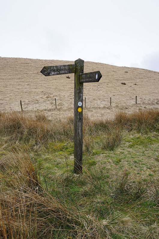
From the car park at Ogden Reservoir I turned left and walked up the road and onto the bridleway by Kitcliffe Reservoir. I then crossed the dam of Piethorne Reservoir and took the permitted byway that runs north across the hillside to reach the bridleway of Tunshill Lane. I followed Tunshill Lane east to a junction of bridleways where I turned left and took the one signposted for Windy Hill. Once I'd reached Windy Hill it was onto the trail of the Pennine Way, which took me south to White Hill (lunch had here), Rape Hill and across the A640 to eventually reach the trig point on Millstone Edge. After having another well earned break here I made my way back north to Northern Rotcher and left the Pennine Way for the Oldham Way down Castleshaw Moor. When I reached the track of Moor Lane I turned right and took the Pennine Bridleway down to and across the A640, up Denshaw Moor as Dowry Road, then down to and beside Readycon Dean Reservoir and out to the A672. The Pennine Bridleway then runs south by the road and crosses it at The Rams Head Inn to continue west down Cold Greave Clough to Piethorne Reservoir, where I left it for the bridleway across the dam of Hanging Lees Reservoir and down by Piethorne Reservoir to reach the road down to the car park by Ogden Reservoir.
Total ascent: 1955 ft
OS map used: OL21 - South Pennines
Time taken: 6 hrs
Route description: Ogden Reservoir-Kitcliffe Reservoir-Tunshill Lane-Windy Hill-Pennine Way-White Hill-Pennine Way-Millstone Edge-Oldham Way-Castleshaw Moor-Pennine Bridleway-Dowry Road-Denshaw Moor-Readycon Dean Reservoir-Pennine Bridleway-A672-Pennine Bridleway-Hanging Lees Reservoir-Piethorne Reservoir-Kitcliffe Reservoir-Ogden Reservoir
My long walk of the weekend and I worked out this route to take in some of the moors of the watershed in the South Pennines and a part of the Pennine Way that I had yet to visit, namely the bit between White Hill and Millstone Edge. The weather was wasn't too bad for spending the day up on the moors, fairly mild with a gentle breeze but not a lot of sunshine unfortunately. About half the route used bridleways, so I could set a quick pace when on them and it was a bit of surprise when I made it round in six hours despite it being nearly 14 miles, especially as I'd originally planned on not doing the bit to Millstone Edge and back as I thought it would take too long. If you like reservoirs then this part of the Pennines is for you.
From the car park at Ogden Reservoir I turned left and walked up the road and onto the bridleway by Kitcliffe Reservoir. I then crossed the dam of Piethorne Reservoir and took the permitted byway that runs north across the hillside to reach the bridleway of Tunshill Lane. I followed Tunshill Lane east to a junction of bridleways where I turned left and took the one signposted for Windy Hill. Once I'd reached Windy Hill it was onto the trail of the Pennine Way, which took me south to White Hill (lunch had here), Rape Hill and across the A640 to eventually reach the trig point on Millstone Edge. After having another well earned break here I made my way back north to Northern Rotcher and left the Pennine Way for the Oldham Way down Castleshaw Moor. When I reached the track of Moor Lane I turned right and took the Pennine Bridleway down to and across the A640, up Denshaw Moor as Dowry Road, then down to and beside Readycon Dean Reservoir and out to the A672. The Pennine Bridleway then runs south by the road and crosses it at The Rams Head Inn to continue west down Cold Greave Clough to Piethorne Reservoir, where I left it for the bridleway across the dam of Hanging Lees Reservoir and down by Piethorne Reservoir to reach the road down to the car park by Ogden Reservoir.
Route map
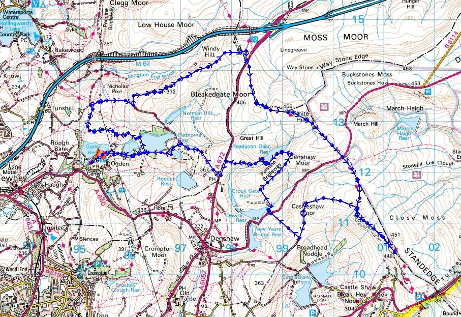
© Crown copyright. All rights reserved. License number PU 100034184.
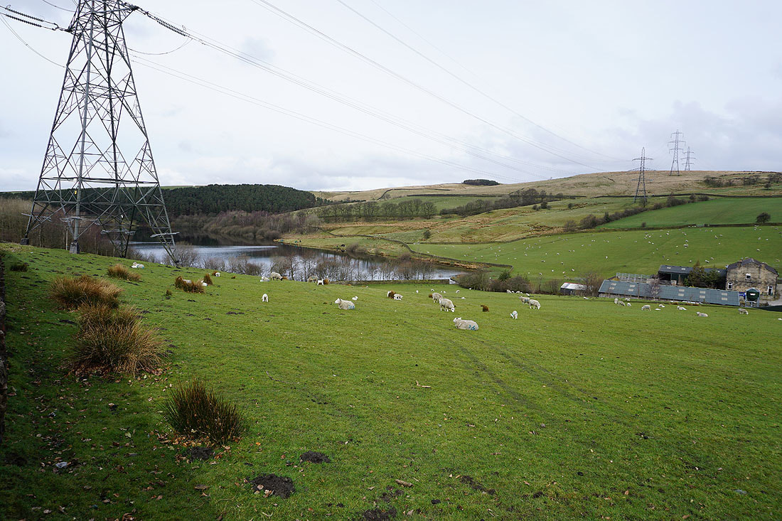
Ogden Reservoir beneath the pylons as I set off
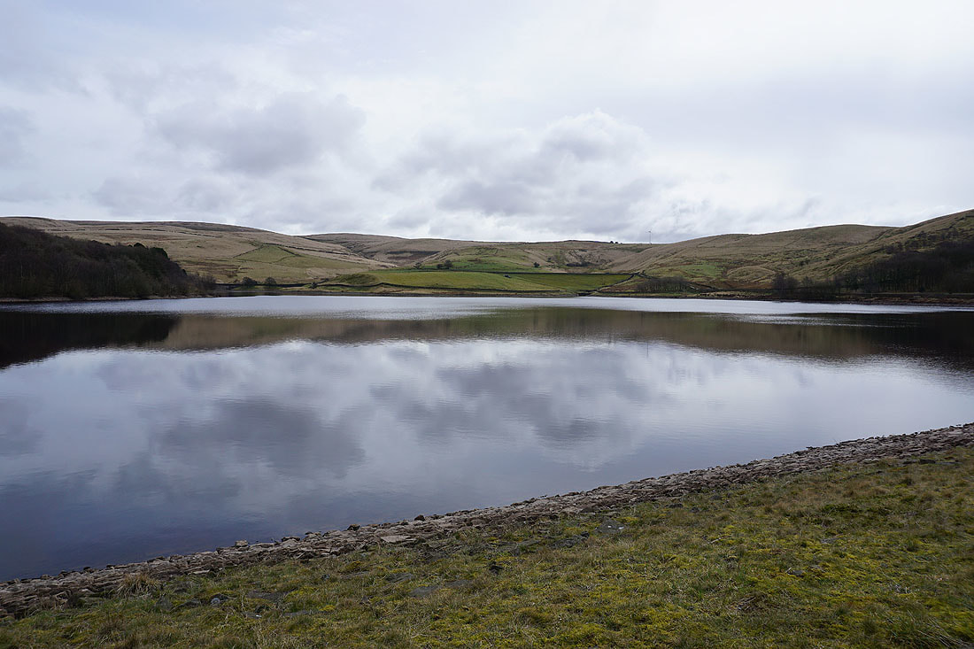
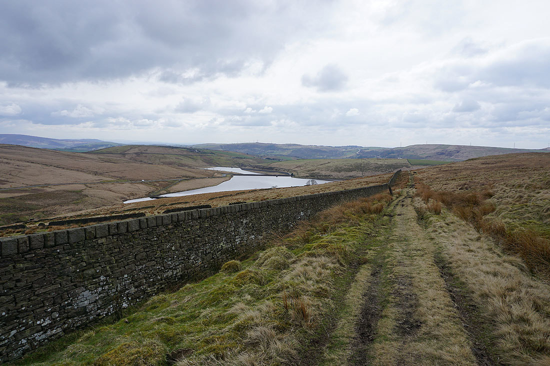
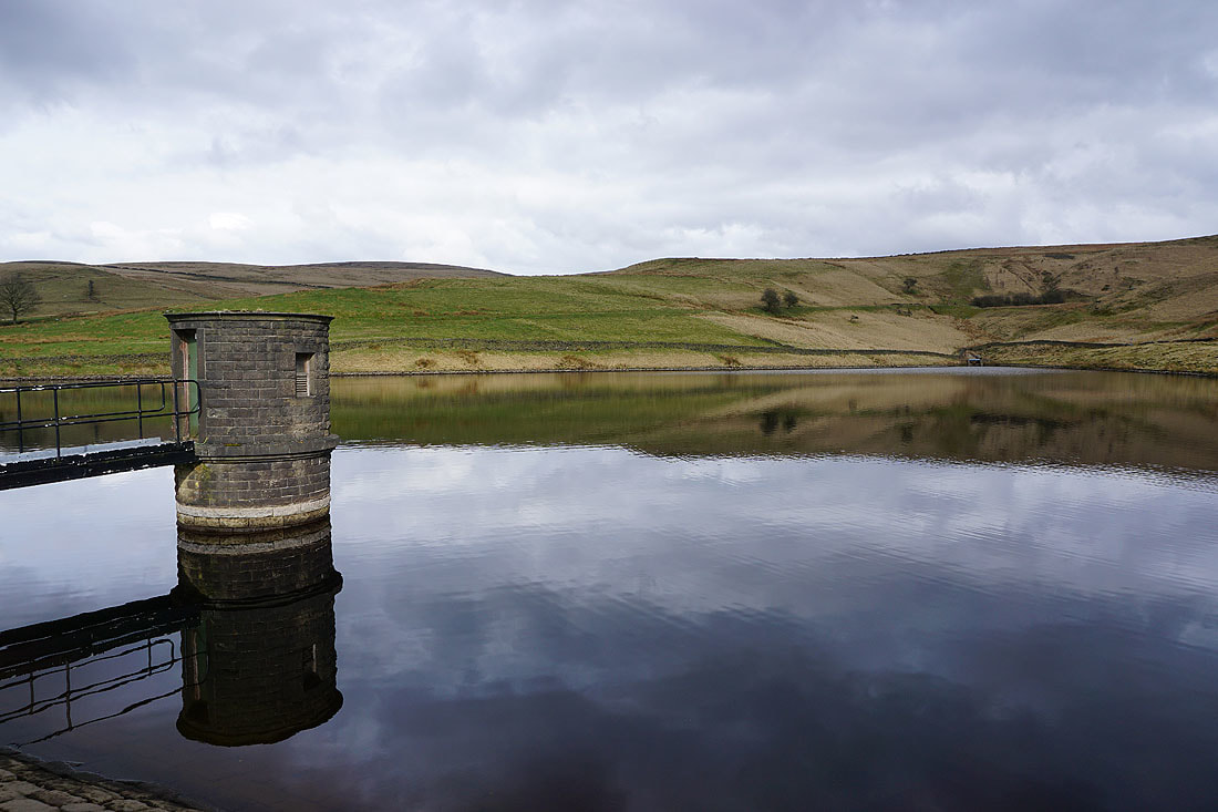
Piethorne Reservoir
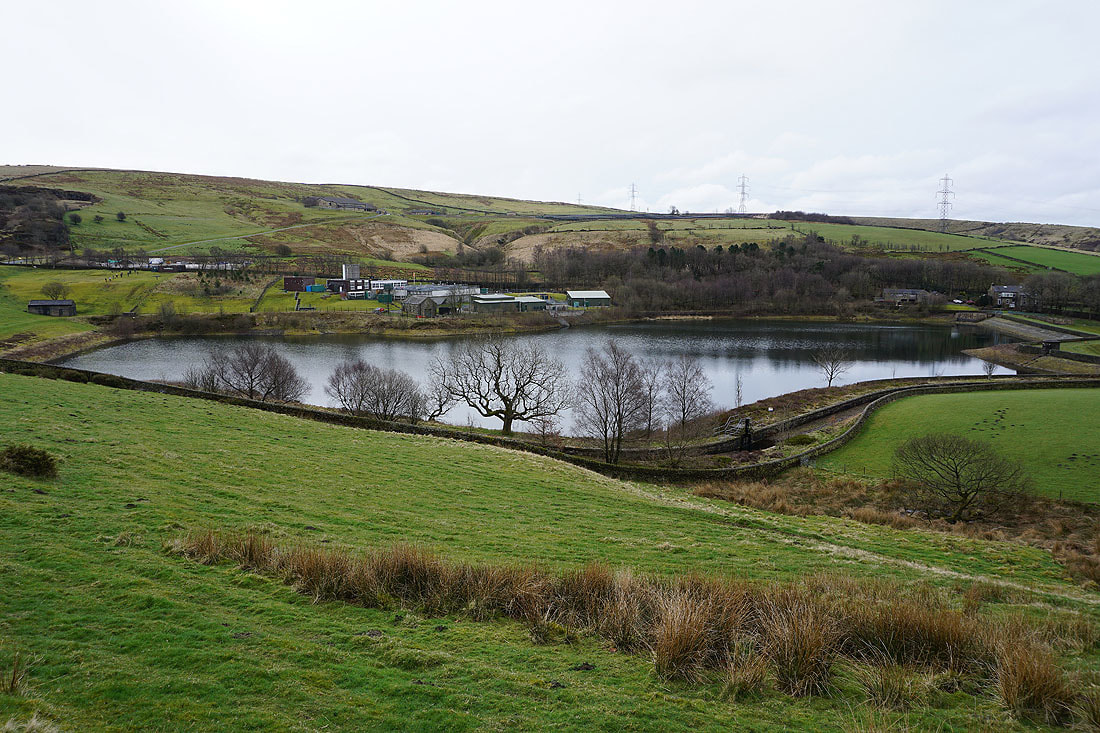
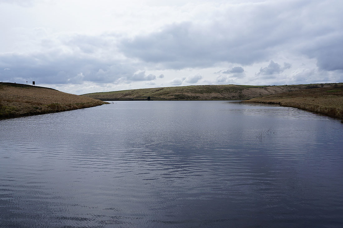
Kitcliffe Reservoir and..
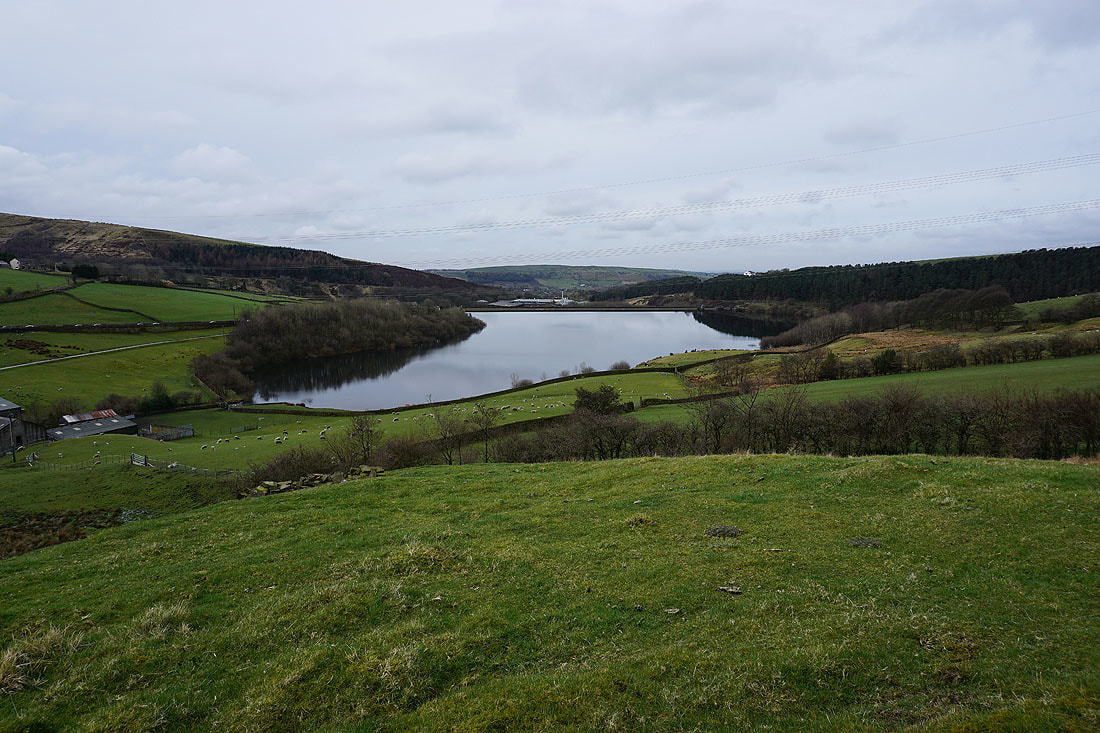
..Ogden Reservoir as I follow the permitted byway on the hillside above them..
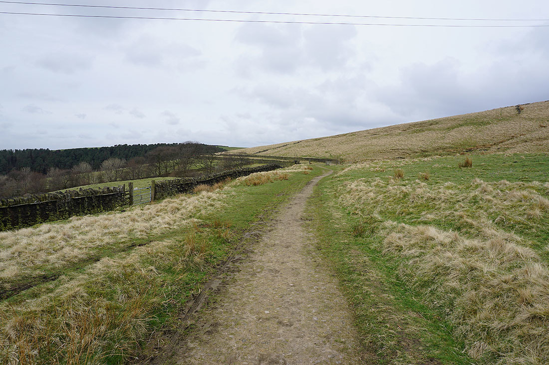
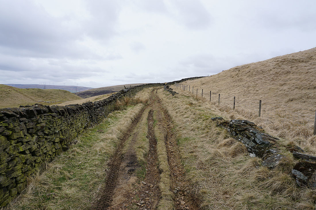
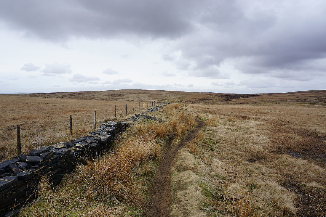
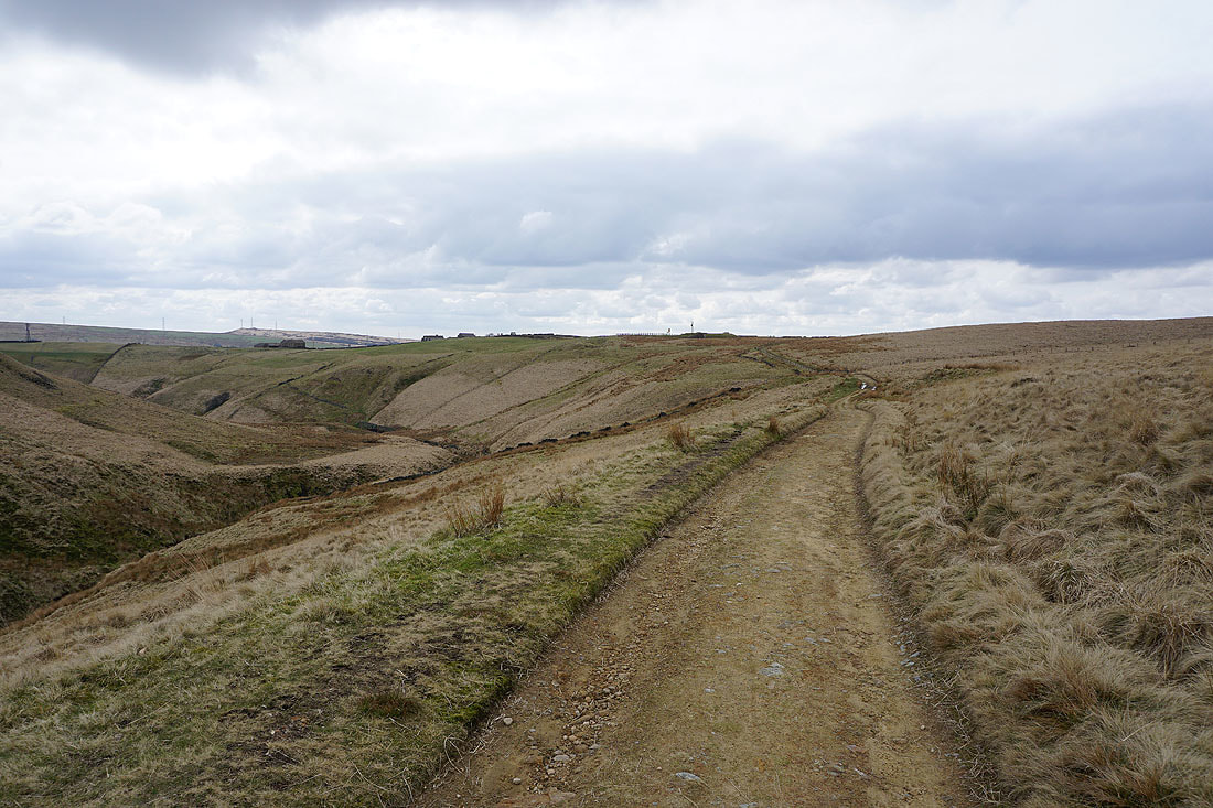
The byway was left for the bridleway of Tunshill Lane
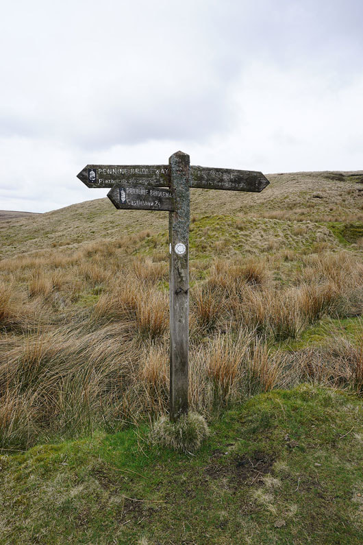
Turn left for the bridleway to Windy Hill..
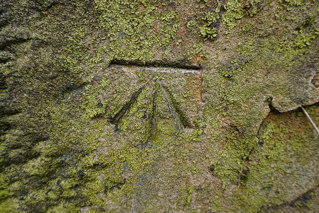
OS benchmark on a gatepost
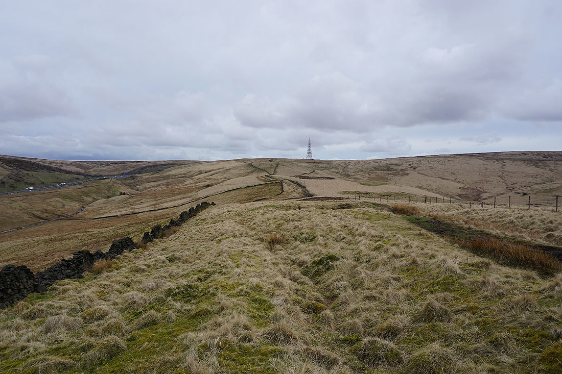
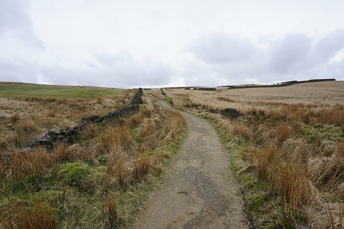
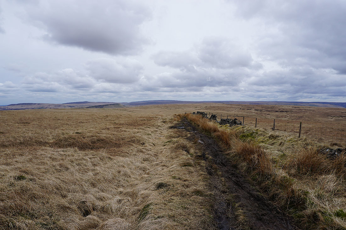
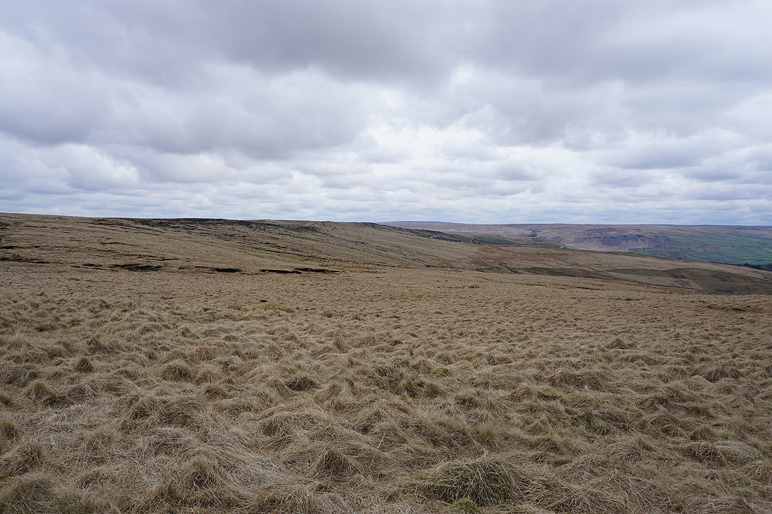
On the ridge to Windy Hill
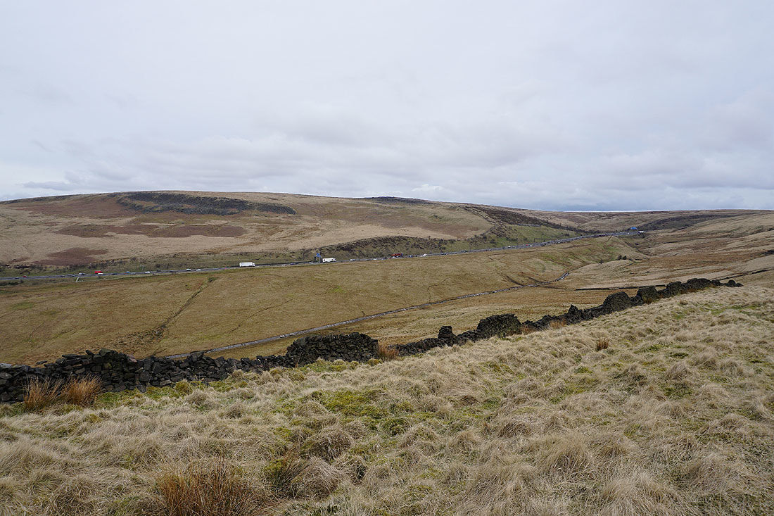
Blackstone Edge on the other side of Longden End Clough, along with a noisy M62
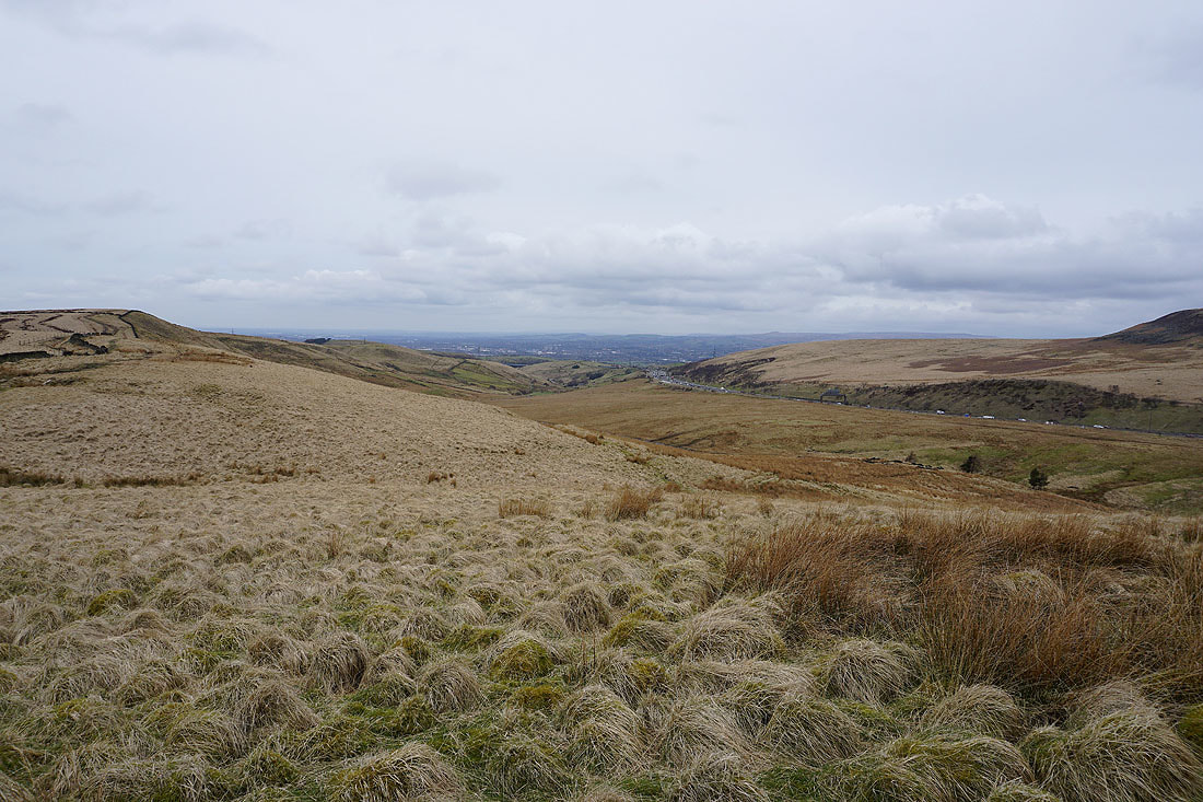
Looking down Longden End Clough
Another shot across to Blackstone Edge as I near the top of Windy Hill
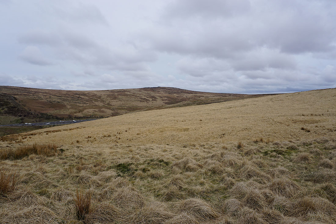
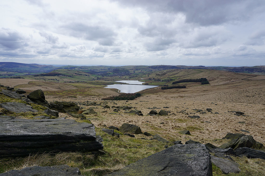
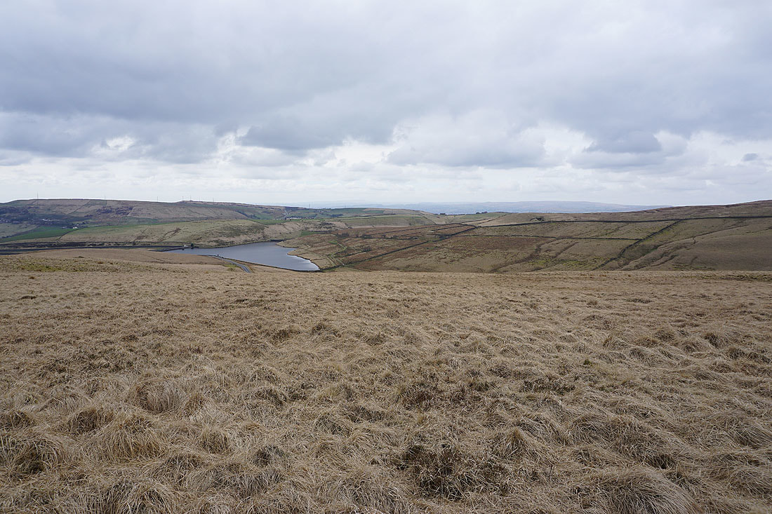
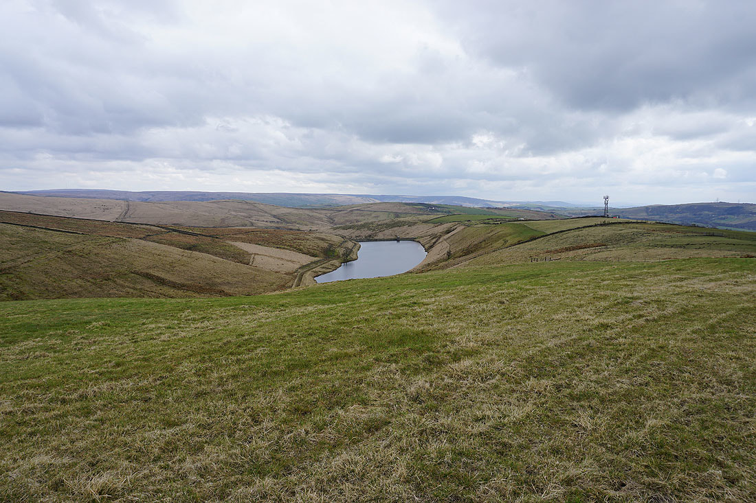
Looking down Piethorne Clough to the top of Norman Hill Reservoir
Looking back to Windy Hill from the Pennine Way to White Hill
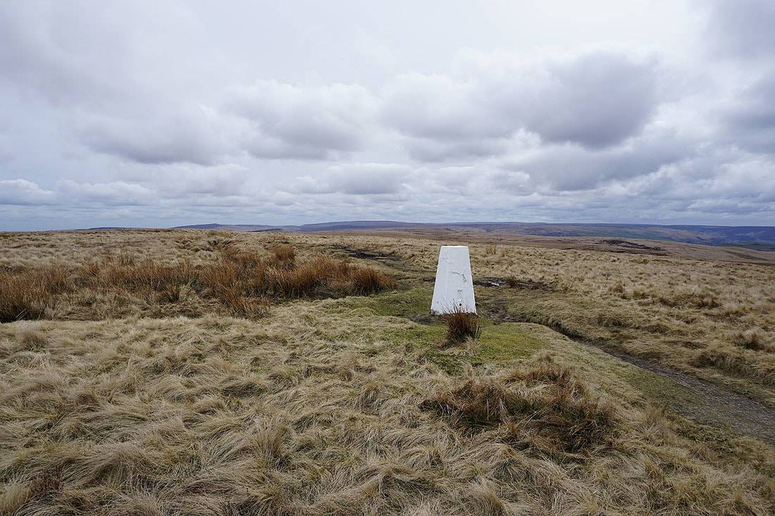
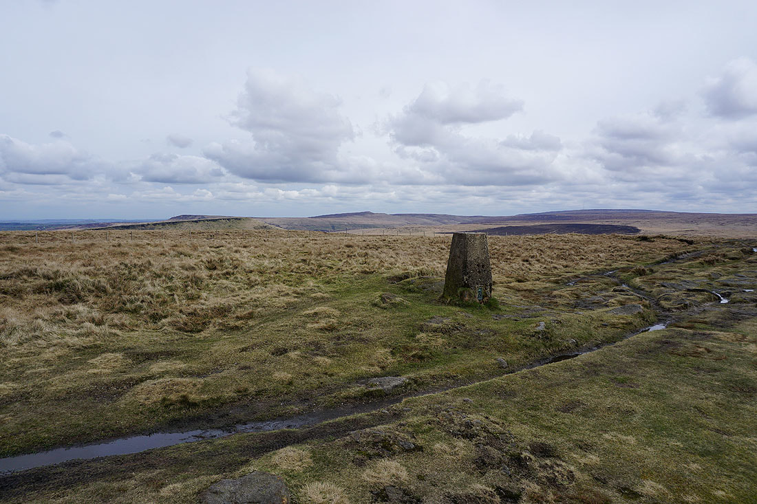
At the trig point on White Hill with Black Hill and the Saddleworth Moors in the distance..
From northwest round to north are Scout Moor..
..Blackstone Edge next to the mast..
..and the moors around Calderdale in the distance
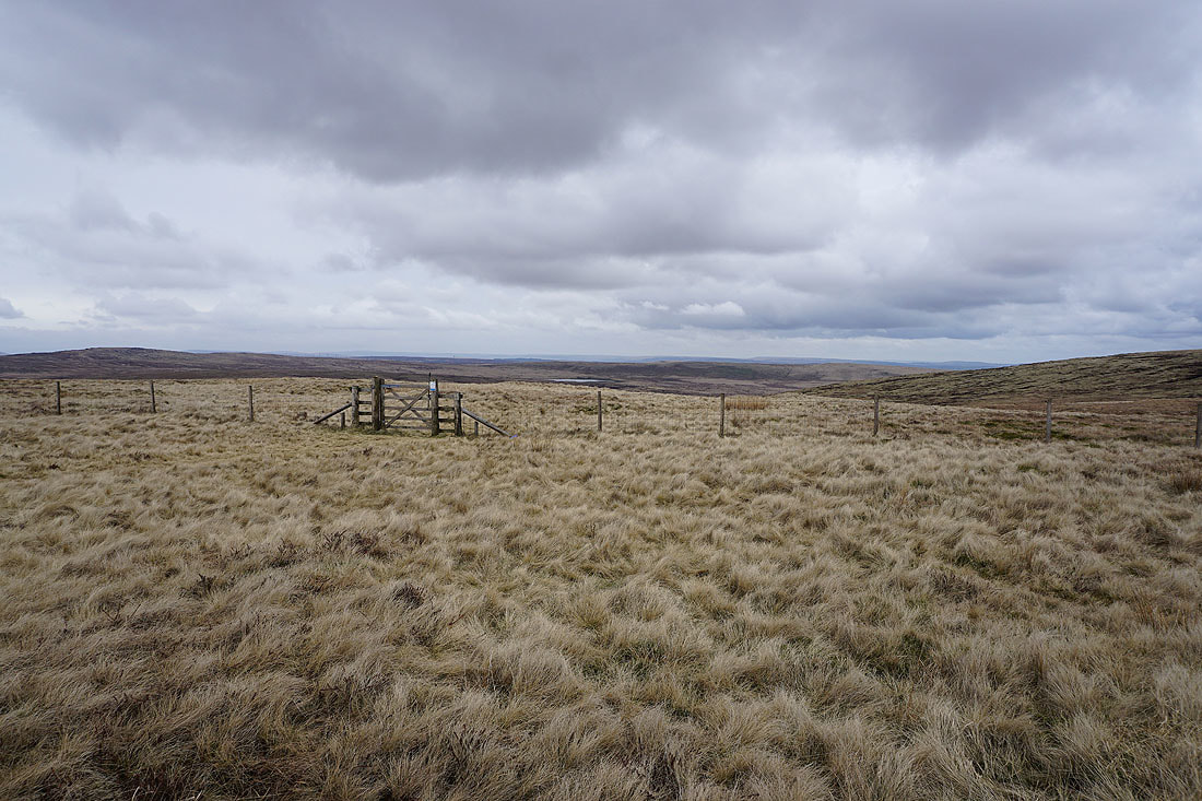
On the Pennine Way to Rape Hill
|
|
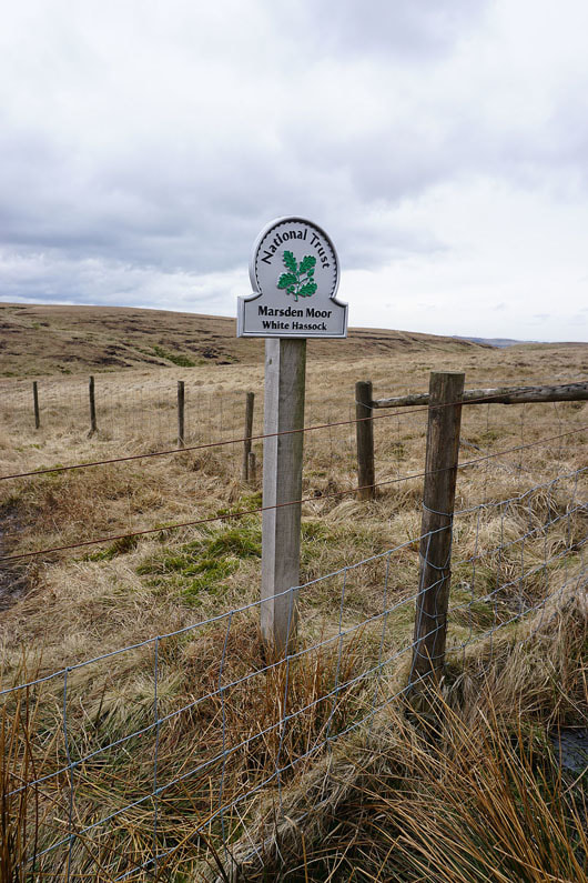
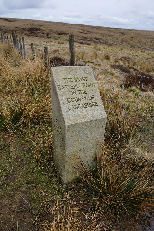
On the way there I enter the National Trust's Marsden Moor estate and pass the most easterly point in Lancashire
Looking back to White Hill from Rape Hill
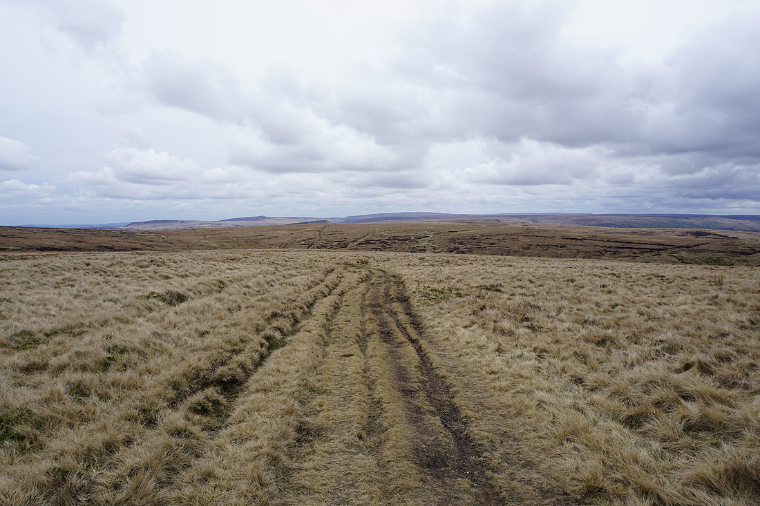
On my way to Millstone Edge with Pule Hill prominent on the left and Black Hill in the distance
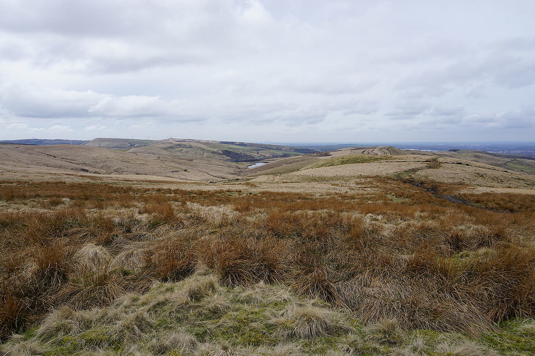
The Castleshaw Reservoirs and Saddleworth from Northern Rotcher
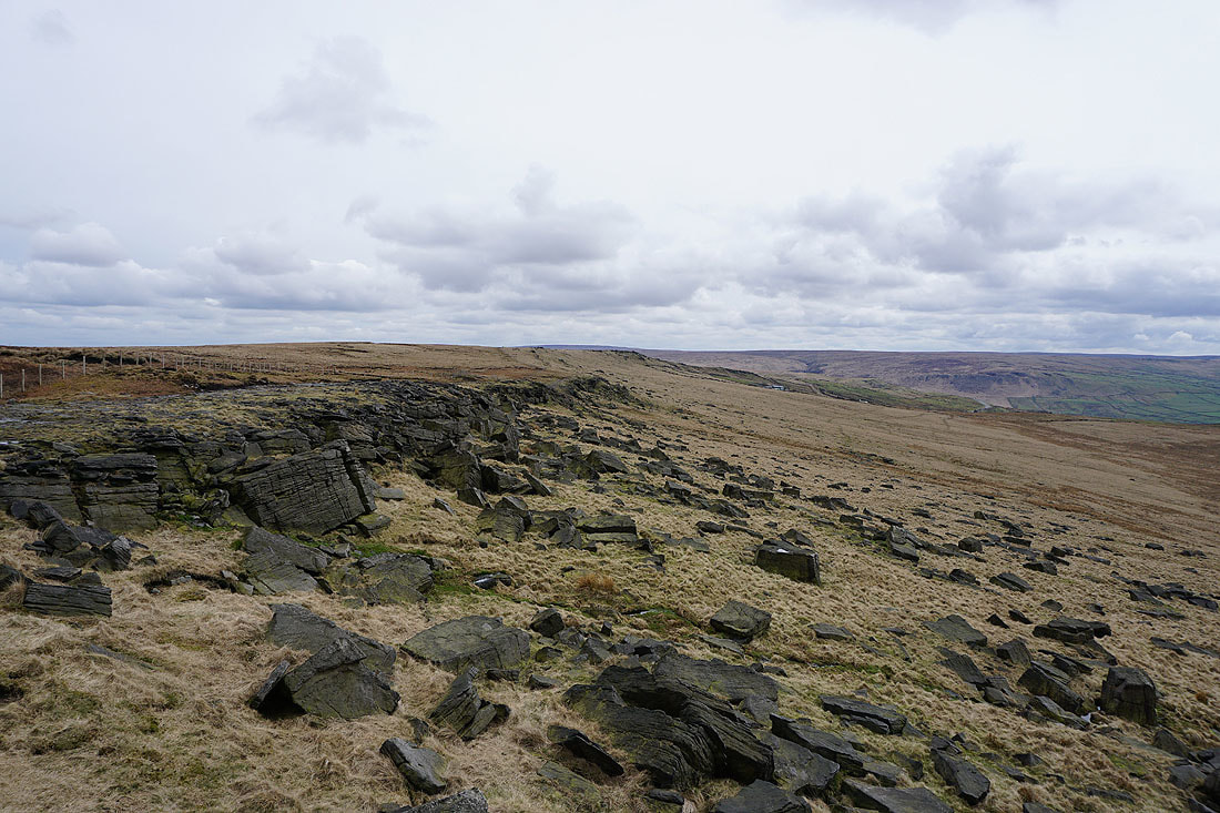
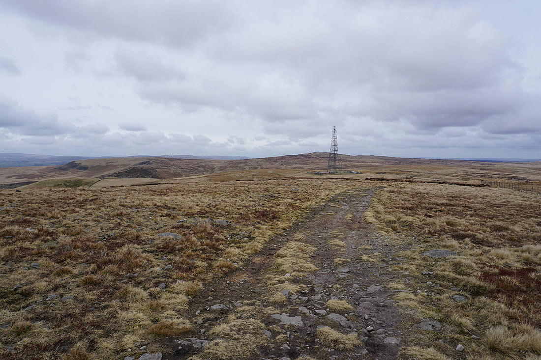
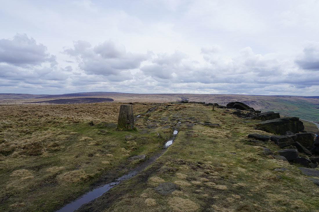
Looking along Millstone Edge from Northern Rotcher
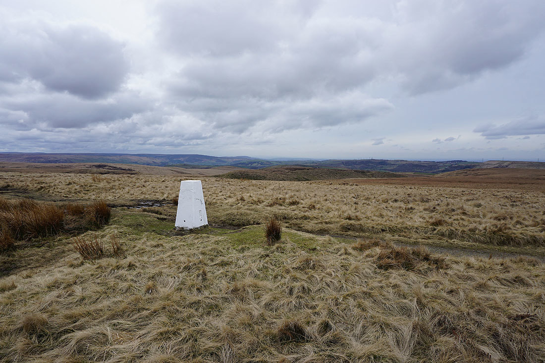
Pule Hill, West Nab and Black Hill from the trig point on Millstone Edge
Black Hill and the Saddleworth moors
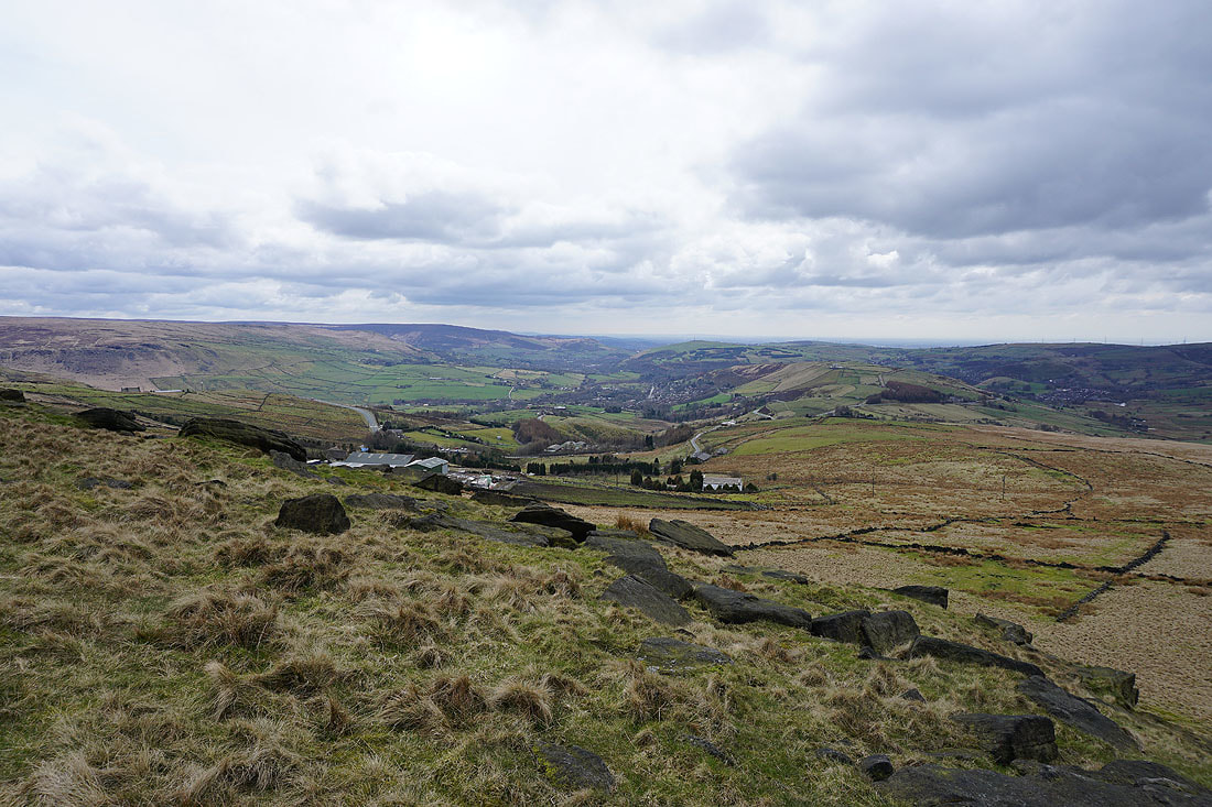
The villages of Saddleworth below
After retracing my steps from Millstone Edge to Northern Rotcher I've left the Pennine Way for the Oldham Way. The Castleshaw Reservoirs from Castleshaw Moor.
Looking back across to Millstone Edge
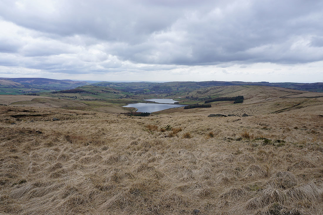
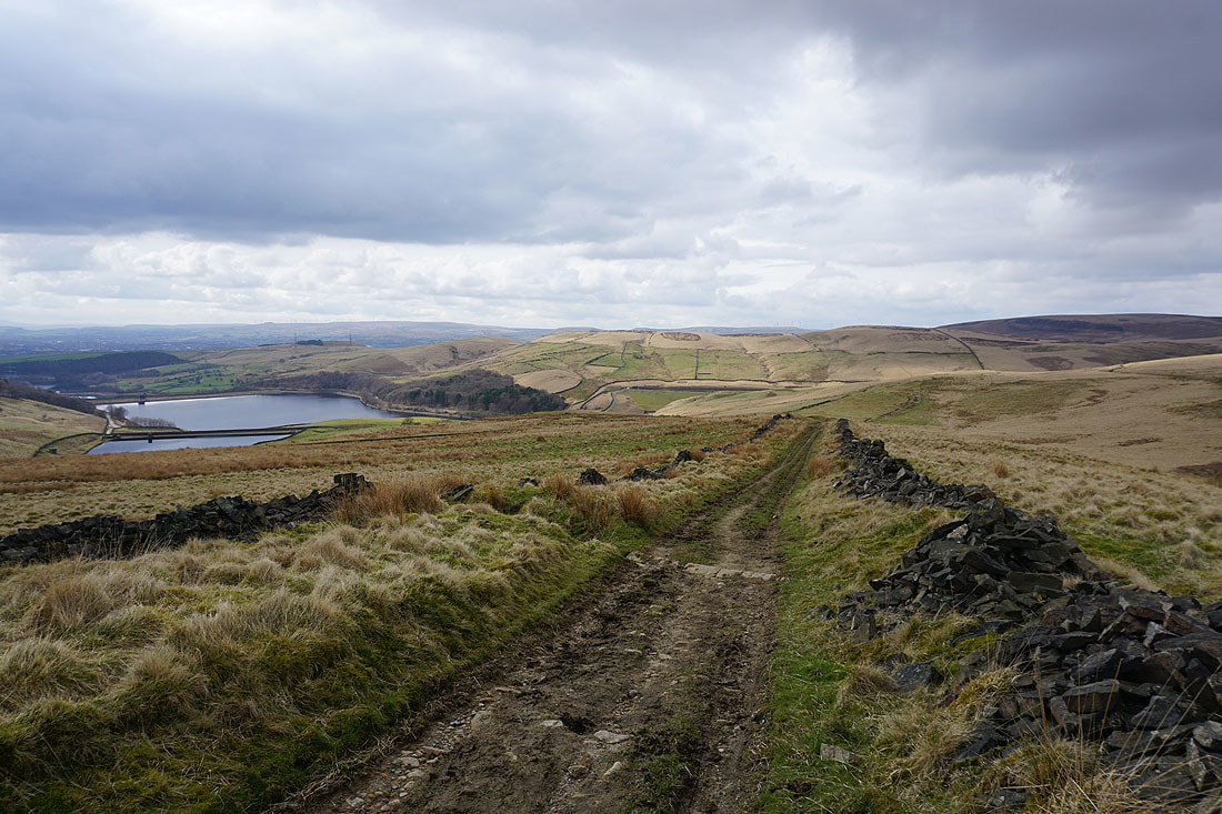
Dowry Reservoir from Castleshaw Moor
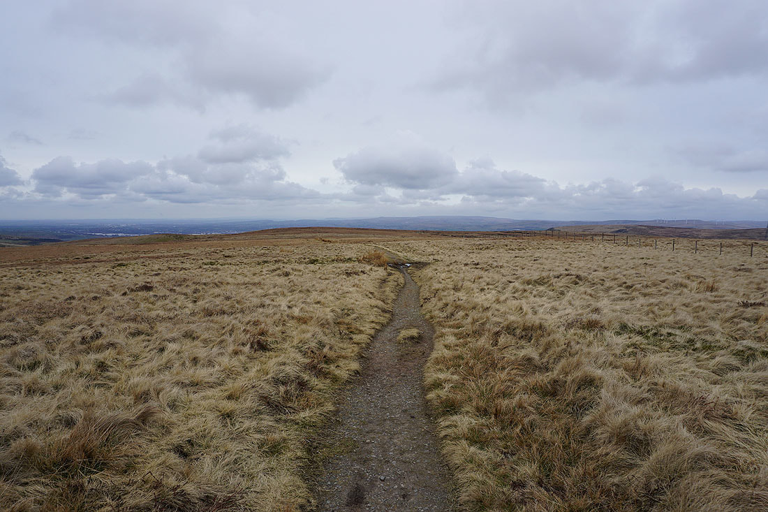
The trail of the Oldham Way is left for the Pennine Bridleway down to Dowry Reservoir
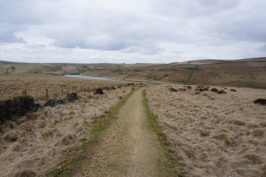
Just two and three quarter miles back to Piethorne Reservoir
Dowry Reservoir from the bridleway of Dowry Road, which is part of the Pennine Bridleway
Looking back down Dowry Road to Dowry Reservoir and New Years Bridge Reservoir from Denshaw Moor
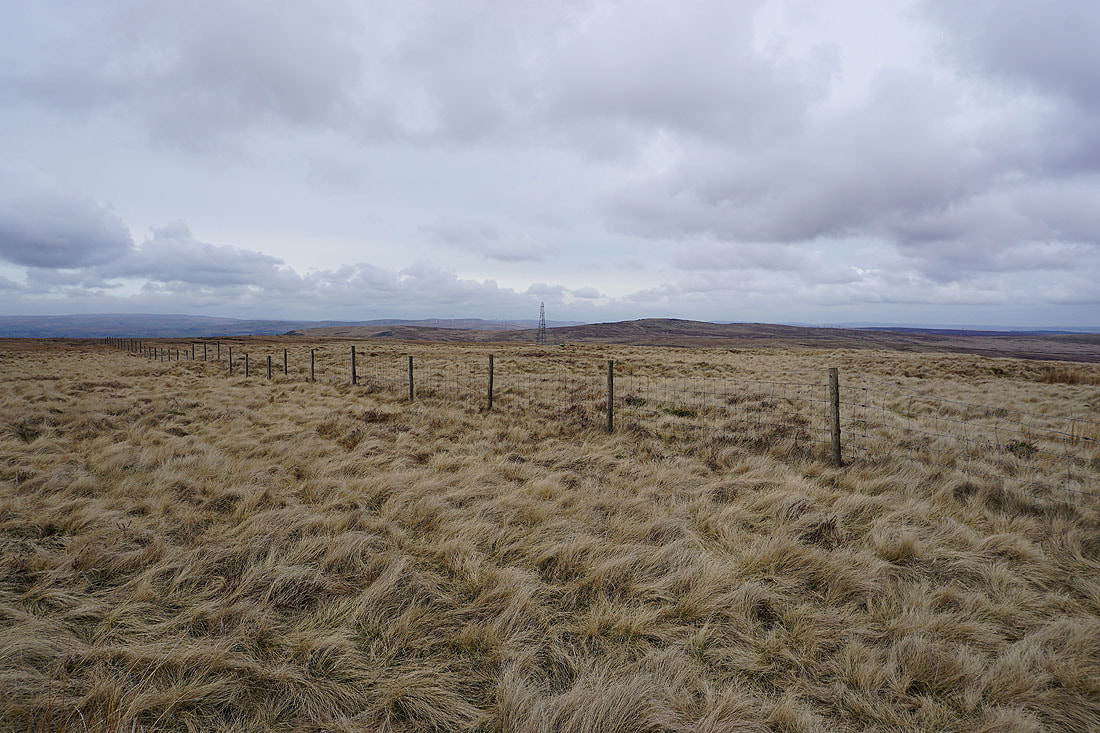
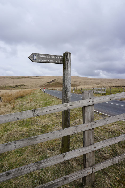
Another bridleway junction and it's one and three quarter miles to Piethorne Reservoir
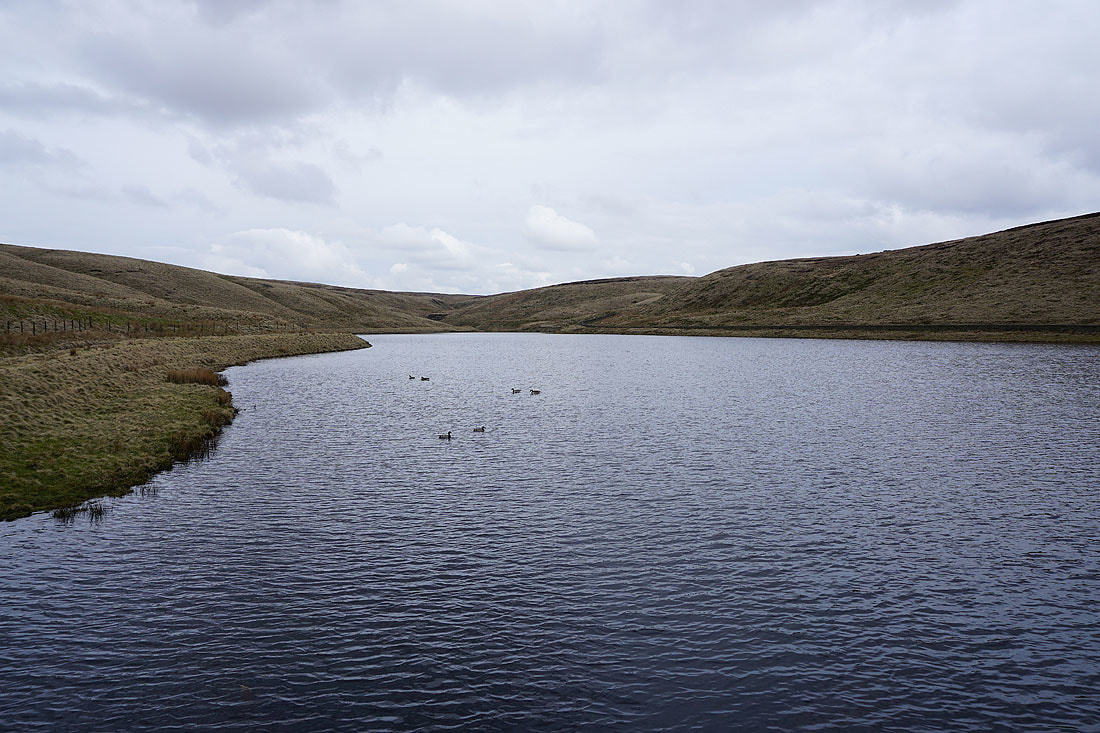
By Readycon Dean Reservoir
From the reservoir I follow the bridleway out to the A672 Ripponden Road
Another reservoir in the valley to my left, Crook Gate Reservoir
My favourite photo of the day as I follow the bridleway down Cold Greave Clough towards Piethorne Reservoir
Great reflections on Hanging Lees Reservoir
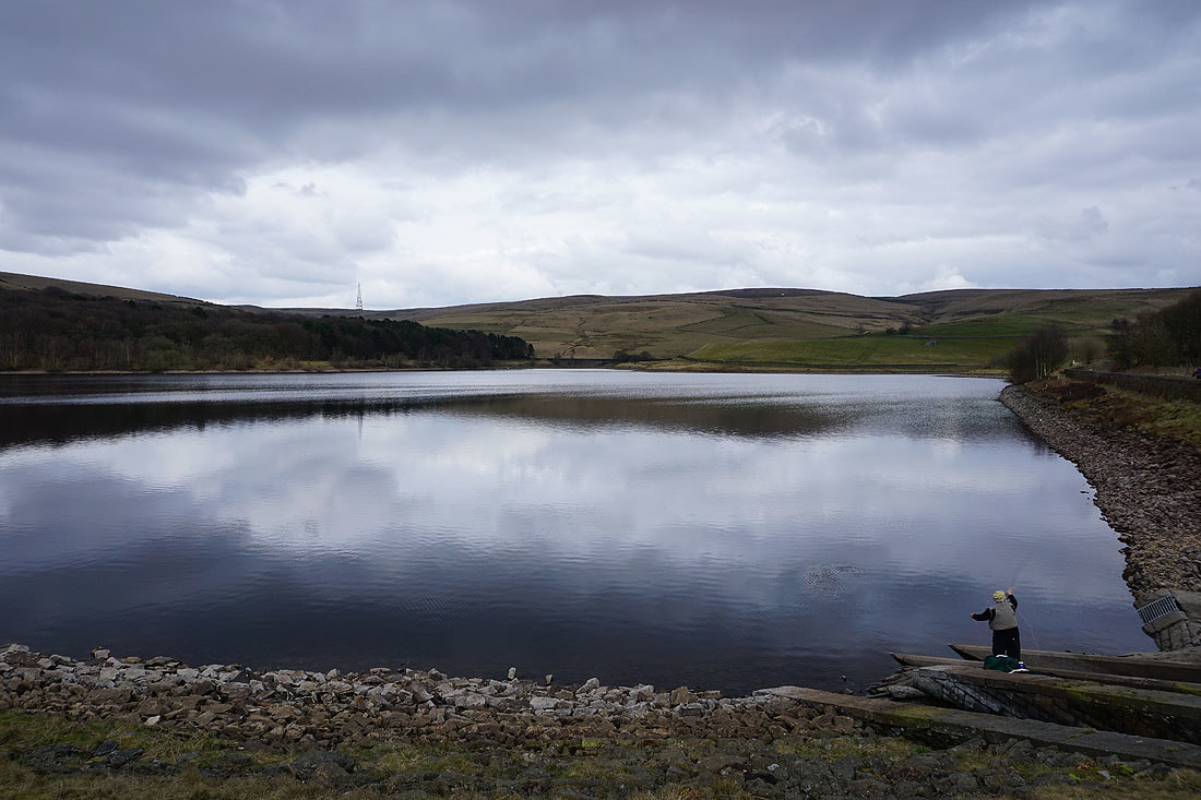
My final shot of the day has an angler trying his luck at Piethorne Reservoir