8th April 2023 - Great Coum and Gragareth
Walk Details
Distance walked: 14.1 miles
Total ascent: 2274 ft
OS map used: OL2 - Yorkshire Dales, Southern & Western areas
Time taken: 7 hrs
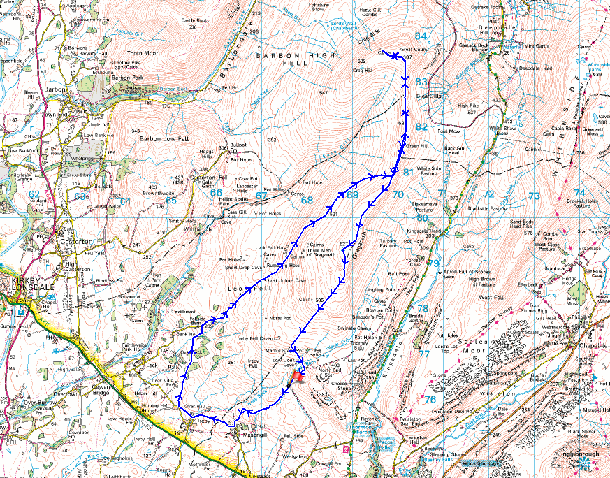
Route description: Masongill Fell Lane-Masongill-Ireby-Church Lane-Leck Fell House-Green Hill-Great Coum-The Crag-Great Coum-Green Hill-Gragareth-Ireby Fell-Turbary Road-Masongill Fell Lane
I'm back in the Yorkshire Dales for my second walk of the long Easter weekend, and this time I'm doing a route that will take in Great Coum and Gragareth on the western edge of the park. These fells are very familiar to me, but when I've visited Great Coum and Gragareth before on the same walk I've done a circuit of the high ground above Ease Gill; Crag Hill, Great Coum, and Gragareth. I thought I'd give a different route a try, taking the track from the end of the road at Leck Fell House up onto the moor between Gragareth and Green Hill, and then walking north along the moorland ridge to Great Coum, before heading back south to Gragareth. It might be a bit shorter than the full circuit and I'll definitely avoid the long slog up Crag Hill's western slopes. Actually, it was only about a mile shorter, but that's enough to make it a viable alternative. Just like yesterday it was a beautiful spring day for being on the fells with lots of blue skies and sunshine, light winds, and good visibility for taking in the views.
From where I parked at the top of Masongill Fell Lane I walked down the road to Masongill, then took the public footpath on the right at Parr Bank Farm opposite the phone box, followed it west across fields and down into the hamlet of Ireby. After crossing the bridge over Ireby Beck I turned right, walked up past Bainbridge House to a public footpath on the left, and took this across fields to reach Todgill Farm on Church Lane. I left Church Lane almost immediately via a byway and track on the right, which I followed north to reach the road from Leck up to Leck Fell House, and I then walked up this road to its end at Leck Fell House. At the end of the road I went through a gate onto access land and followed a track north across the open moor to a shooting hut, then from there a path took me up to the moorland ridge south of Green Hill. I then made my way north across the top of Green Hill, up to Great Coum, and to the cairn on the top of The Crag, where I stopped for lunch. After this break I made my way back to Great Coum, then walked south down the moorland ridge over Green Hill and to the trig point on Gragareth. After having a break to take in the view I made my way south to the summit wall. At the wall corner at the top of Ireby Fell a stile was used to access this fellside so that I could make my way down Ireby Fell by the eastern side of its eastern boundary wall. About half way down I reached a path across the hillside past Marble Steps Pot which took me to the track of Turbary Road. I followed this downhill back to where I was parked at the top of Masongill Fell Lane.
Total ascent: 2274 ft
OS map used: OL2 - Yorkshire Dales, Southern & Western areas
Time taken: 7 hrs
Route description: Masongill Fell Lane-Masongill-Ireby-Church Lane-Leck Fell House-Green Hill-Great Coum-The Crag-Great Coum-Green Hill-Gragareth-Ireby Fell-Turbary Road-Masongill Fell Lane
I'm back in the Yorkshire Dales for my second walk of the long Easter weekend, and this time I'm doing a route that will take in Great Coum and Gragareth on the western edge of the park. These fells are very familiar to me, but when I've visited Great Coum and Gragareth before on the same walk I've done a circuit of the high ground above Ease Gill; Crag Hill, Great Coum, and Gragareth. I thought I'd give a different route a try, taking the track from the end of the road at Leck Fell House up onto the moor between Gragareth and Green Hill, and then walking north along the moorland ridge to Great Coum, before heading back south to Gragareth. It might be a bit shorter than the full circuit and I'll definitely avoid the long slog up Crag Hill's western slopes. Actually, it was only about a mile shorter, but that's enough to make it a viable alternative. Just like yesterday it was a beautiful spring day for being on the fells with lots of blue skies and sunshine, light winds, and good visibility for taking in the views.
From where I parked at the top of Masongill Fell Lane I walked down the road to Masongill, then took the public footpath on the right at Parr Bank Farm opposite the phone box, followed it west across fields and down into the hamlet of Ireby. After crossing the bridge over Ireby Beck I turned right, walked up past Bainbridge House to a public footpath on the left, and took this across fields to reach Todgill Farm on Church Lane. I left Church Lane almost immediately via a byway and track on the right, which I followed north to reach the road from Leck up to Leck Fell House, and I then walked up this road to its end at Leck Fell House. At the end of the road I went through a gate onto access land and followed a track north across the open moor to a shooting hut, then from there a path took me up to the moorland ridge south of Green Hill. I then made my way north across the top of Green Hill, up to Great Coum, and to the cairn on the top of The Crag, where I stopped for lunch. After this break I made my way back to Great Coum, then walked south down the moorland ridge over Green Hill and to the trig point on Gragareth. After having a break to take in the view I made my way south to the summit wall. At the wall corner at the top of Ireby Fell a stile was used to access this fellside so that I could make my way down Ireby Fell by the eastern side of its eastern boundary wall. About half way down I reached a path across the hillside past Marble Steps Pot which took me to the track of Turbary Road. I followed this downhill back to where I was parked at the top of Masongill Fell Lane.
Route map
© Crown copyright. All rights reserved. License number PU 100034184.
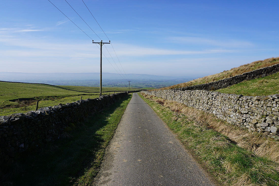
Setting off with walking down Masongill Fell Lane
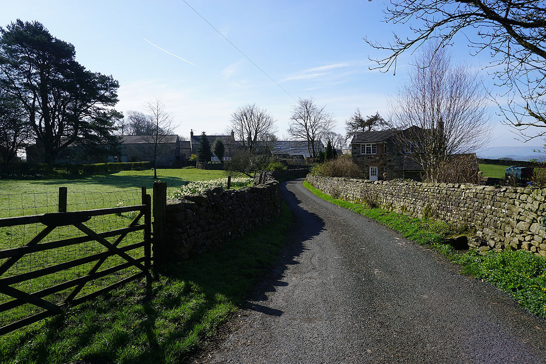
Into the hamlet of Masongill
By Ireby Beck. I can see the top of Ingleborough above the nearby moors
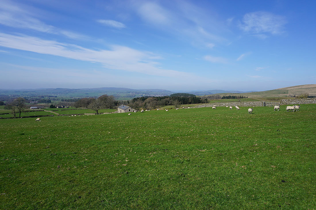
Following a footpath down through fields to Ireby

In the hamlet of Ireby
Crossing fields to Todgill Farm
From the road at Todgill Farm I follow a byway up to the road to Leck Fell House....

|
|

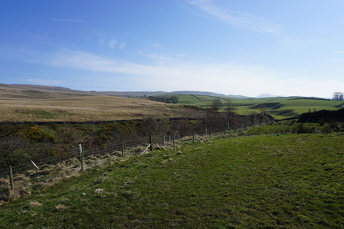
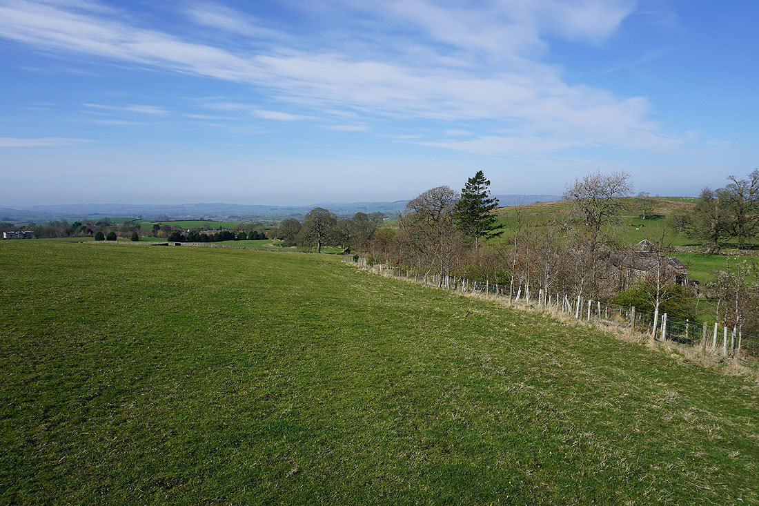
At the top of the byway and I have a great view across the surrounding countryside to Kirkby Lonsdale

The western slopes of Gragareth ahead as I walk up the road to Leck Fell House

To my left, Barbon Low Fell and Middleton Fell beyond the surrounding moorland
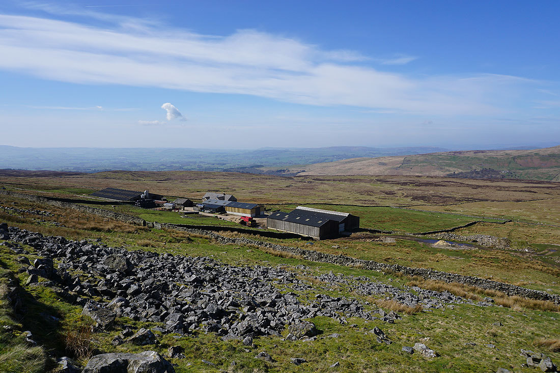
Nearing the top of the road, Leck Fell House, and the scree slope below the cairns of The Three Men of Gragareth

Looking back down the road to Kirkby Lonsdale in the distance
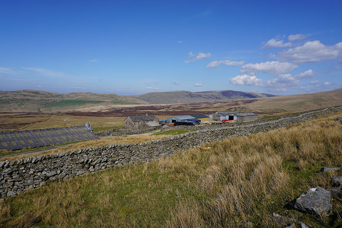
Leck Fell House..
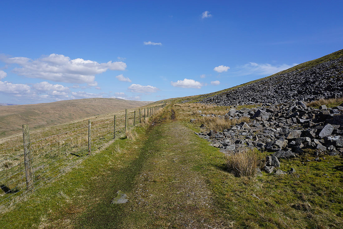
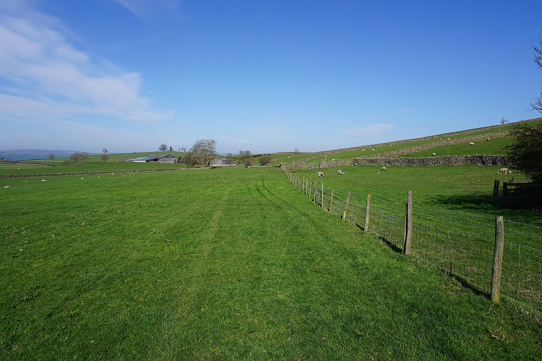
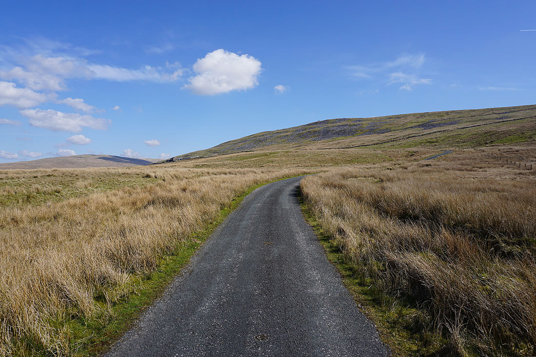
From the end of the road at Leck Fell House I take a track up onto the open moor
Looking across Ease Gill to Barbon Low Fell, Casterton Fell, and Middleton Fell
and back down the track
In front of me are Crag Hill and Great Coum at the head of Ease Gill

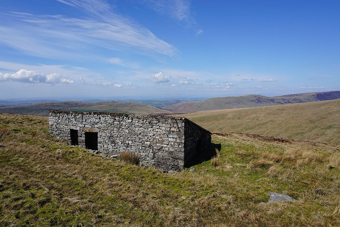
I finally reach the shooting hut at the end of the track..
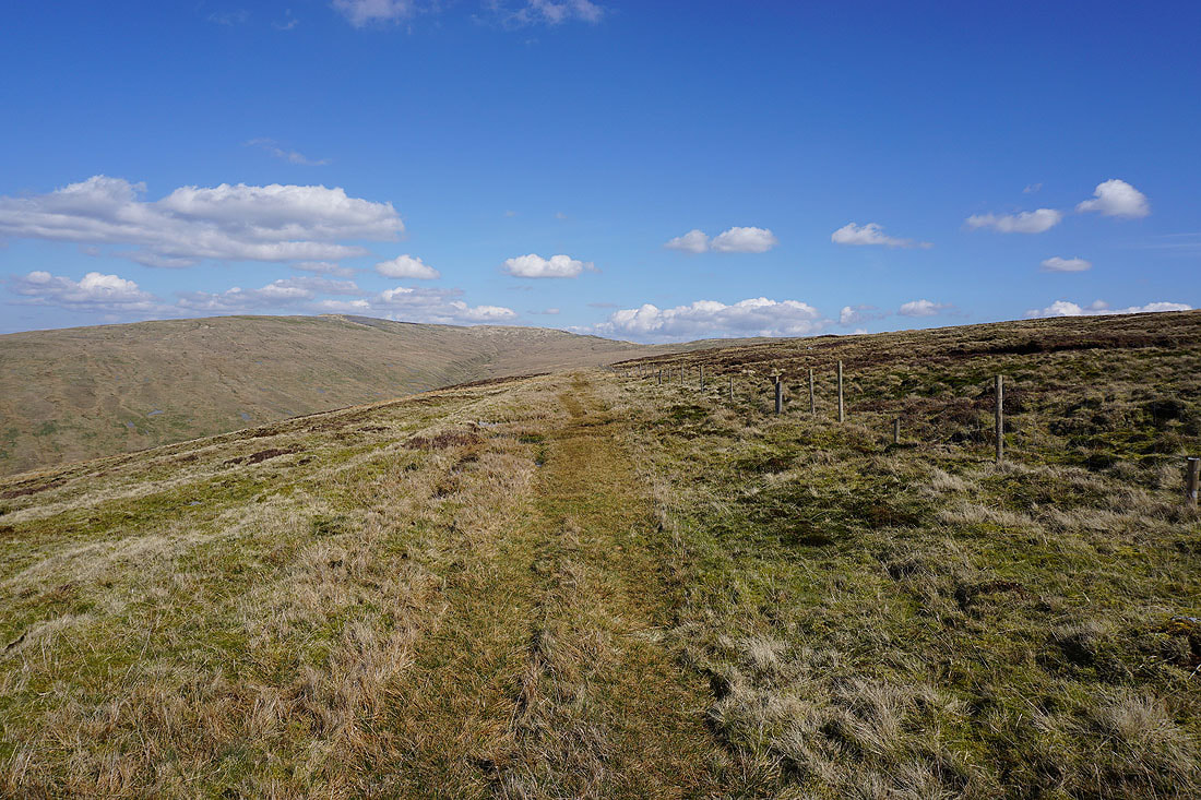
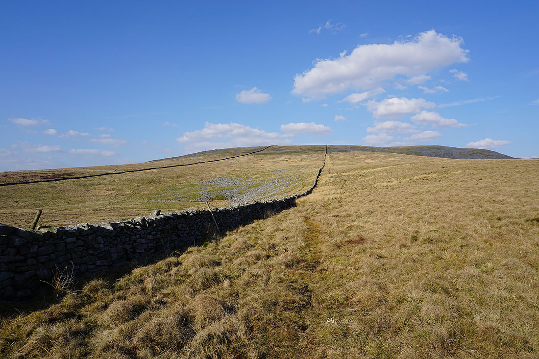
Heading north to Green Hill after climbing up to the moorland ridge from the end of the track
Great Coum to the north from Green Hill

Walking across the top of Great Coum and there are great views to the north to the Howgills and Baugh Fell..

My lunch stop is at the cairn on top of The Crag between Crag Hill and Great Coum. It's a lovely spring afternoon for taking in the view from it. Looking down Dentdale to the Howgills.
and up Dentdale to Great Knoutberry Hill, with Baugh Fell behind Aye Gill Pike on the left
To the west, Middleton Fell on the other side of Barbondale

Break over, I've made my way to the top of Great Coum. Crag Hill is a short distance to the west.
Lake District fells in the distance, with the Howgills on the right
Looking across a hidden Dentdale to Baugh Fell, and Great Knoutberry Hill
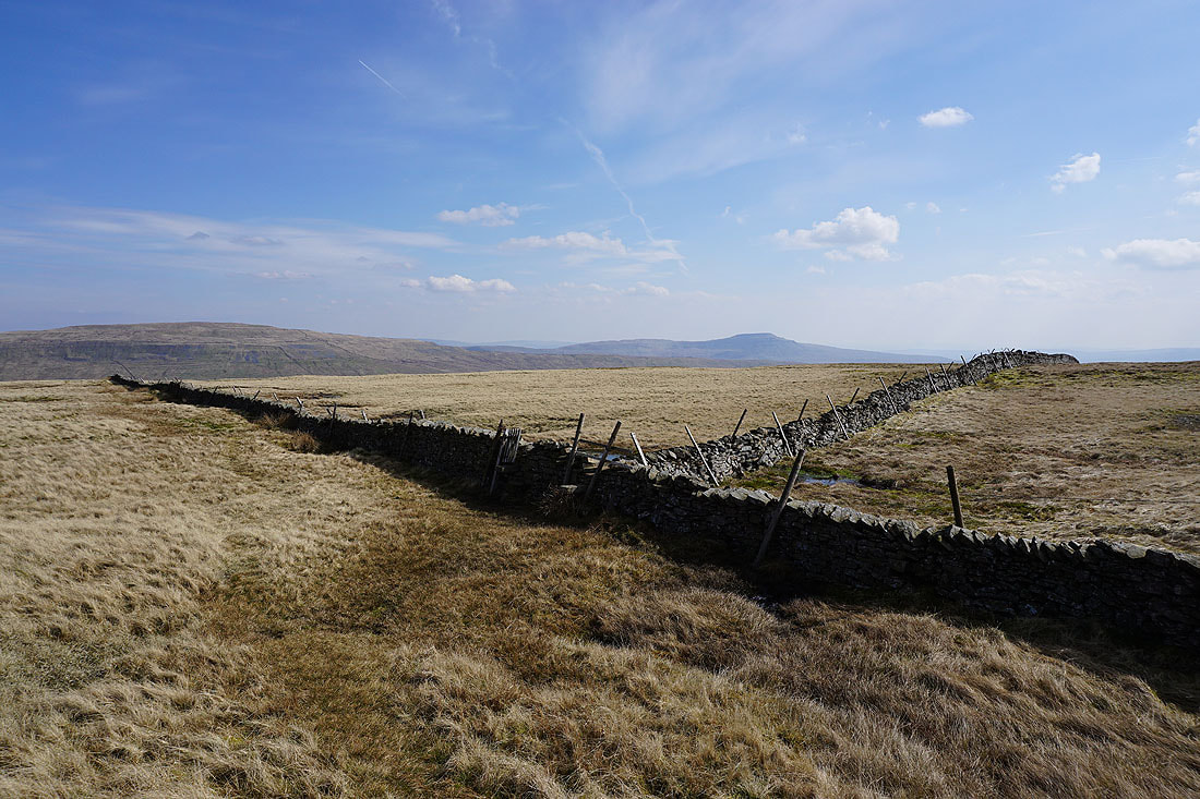
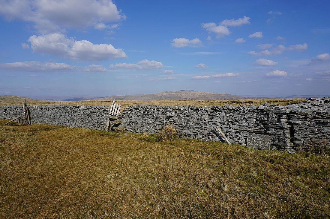
Whernside and Ingleborough. At this point I'll cross the summit wall, there are stiles for both sides of the wall heading south. I took the one for the western side.
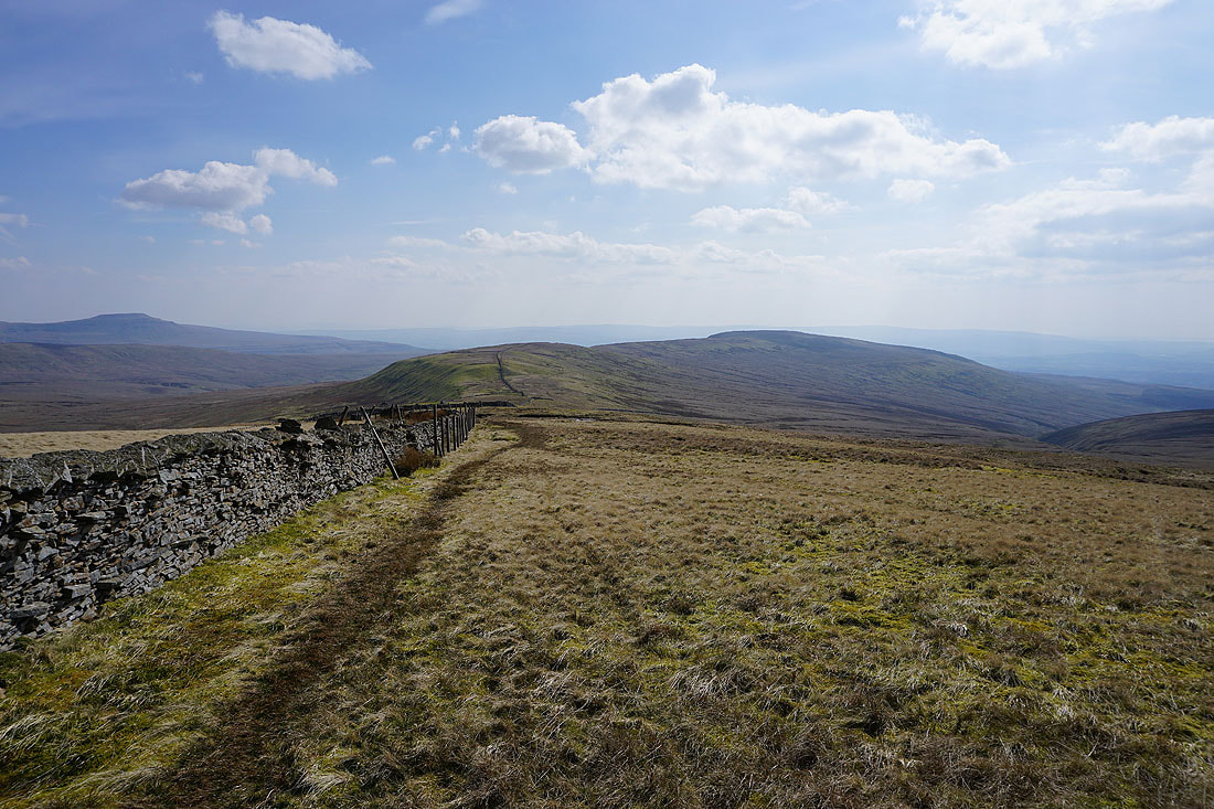
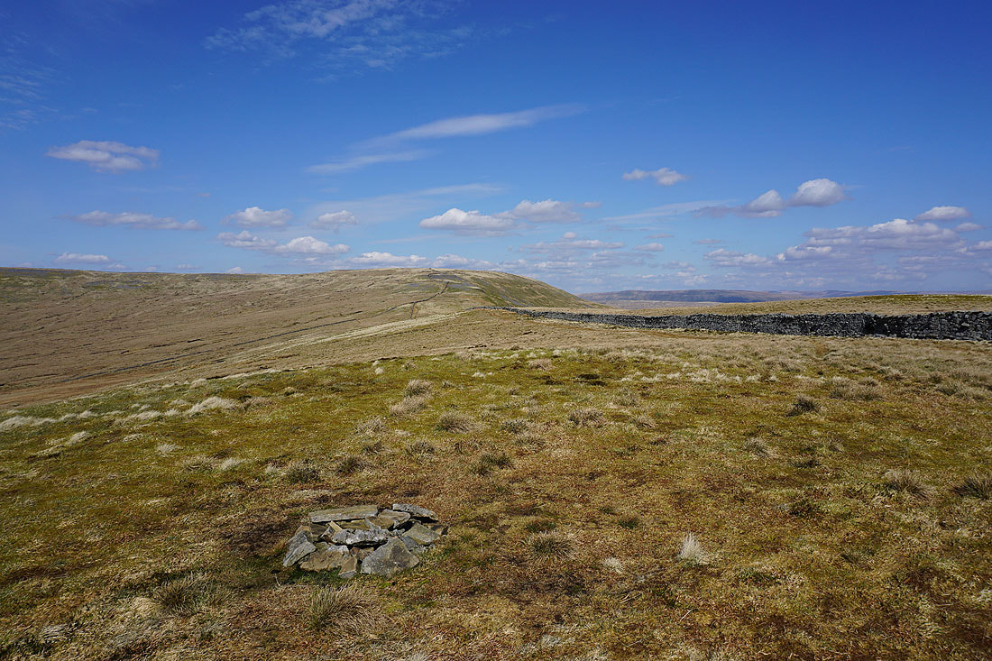
Heading for Green Hill and Gragareth
Ingleborough, Green Hill and Gragareth from the cairn at Gatty Pike
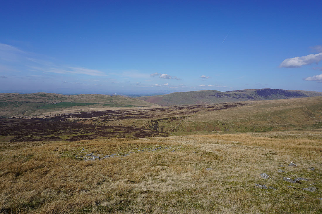
The slopes of Great Coum fall into Deepdale
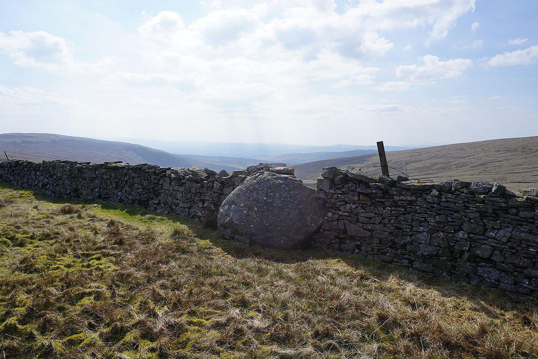
The County Stone. Up until 1974 this marked the point where Lancashire, Westmorland and the West Riding of Yorkshire met.
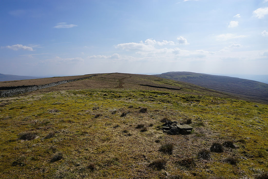
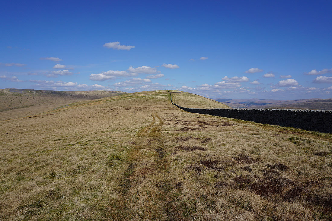
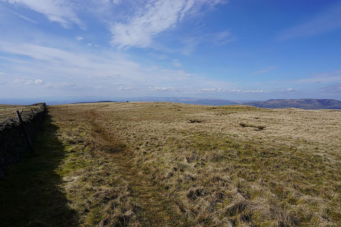
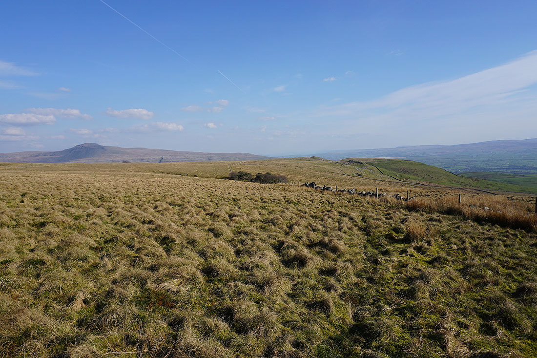
Onwards across the top of Green Hill towards Gragareth
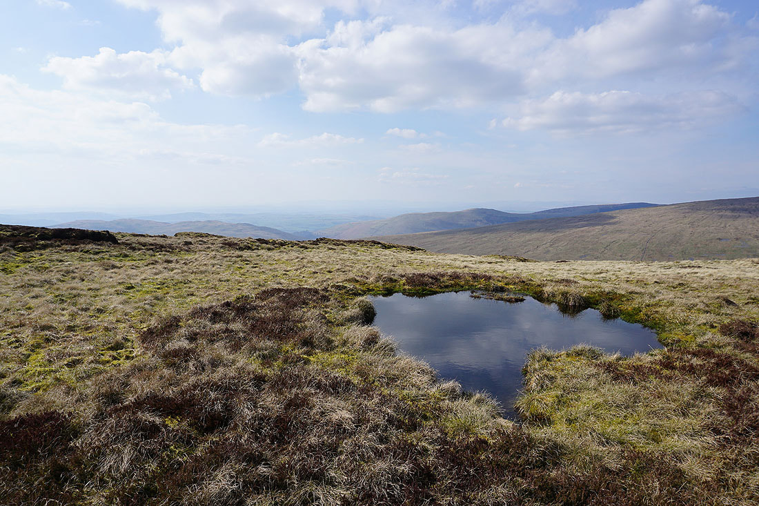
A moorland pool provides a foreground as I look across Ease Gill to Barbon Low Fell, Casterton Fell, and Castle Knott
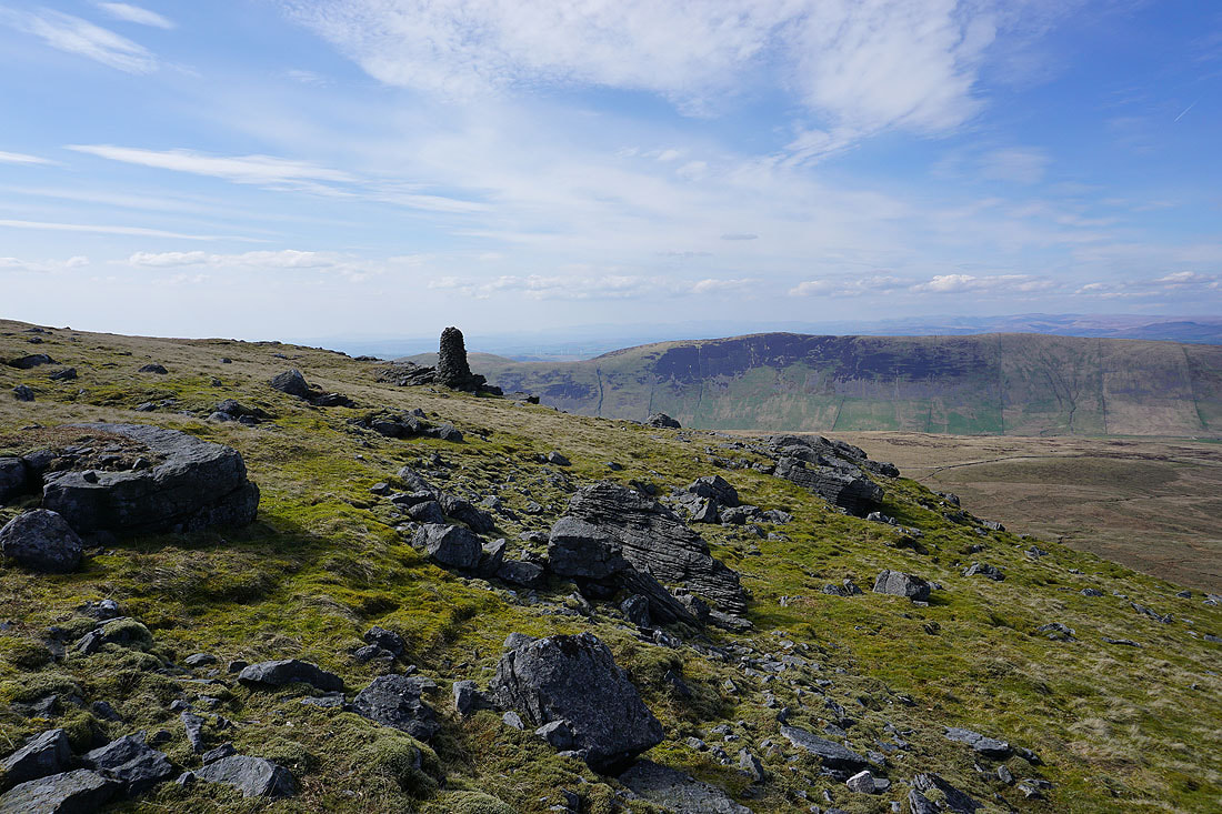
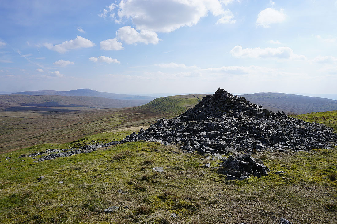
Looking north to Crag Hill, Great Coum, and Green Hill as I approach the top of Gragareth
That gate and stile in the wall is where I've crossed it when I've climbed up to Gragareth from Kingsdale
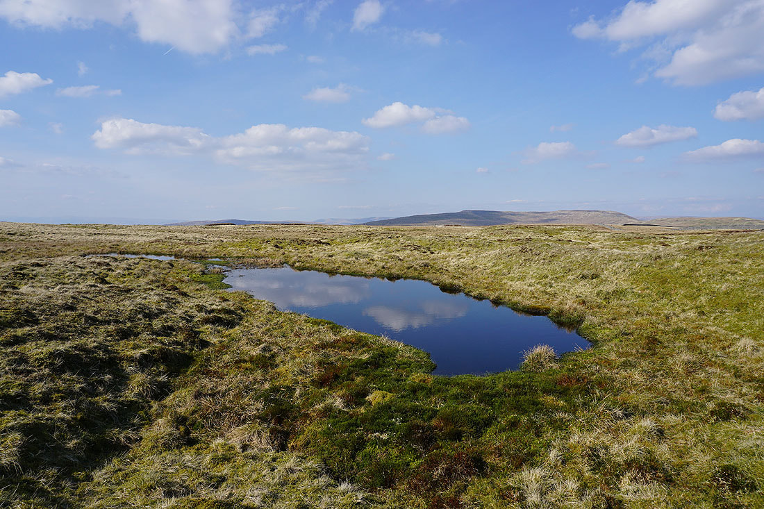
I couldn't resist another moorland pool, with Crag Hill and Great Coum in the background
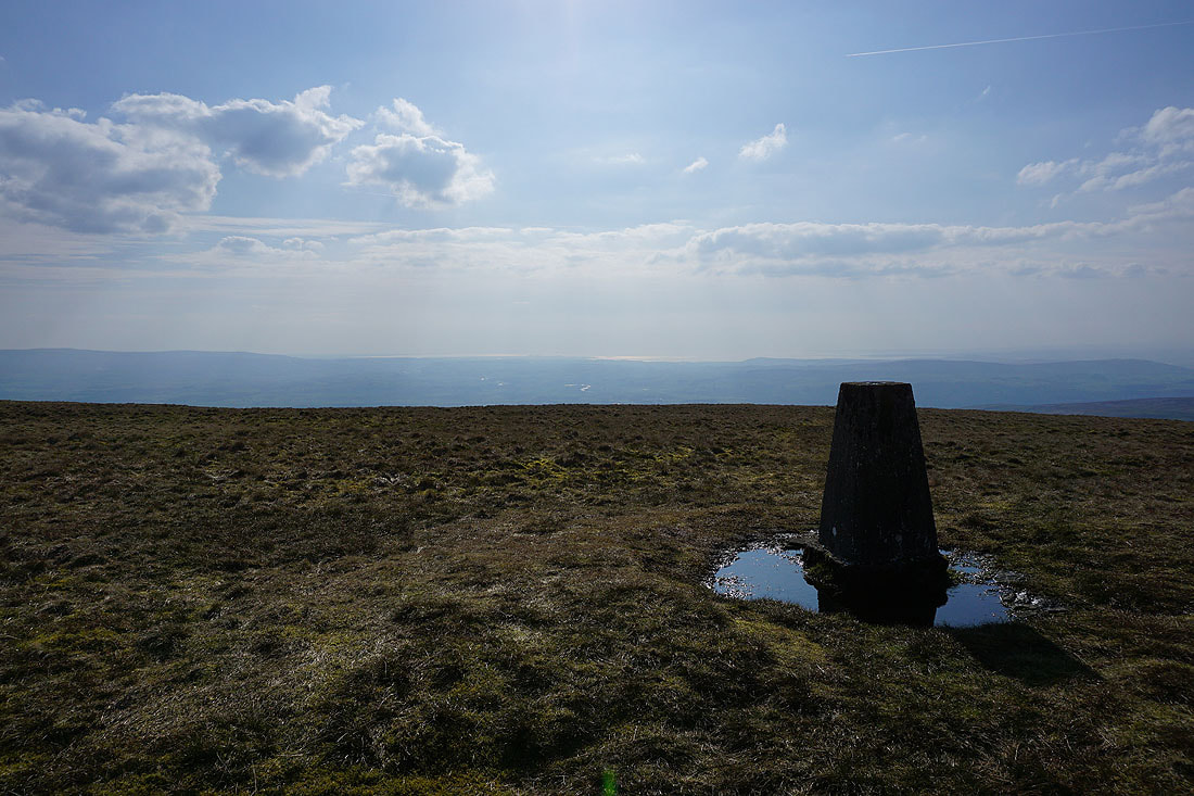
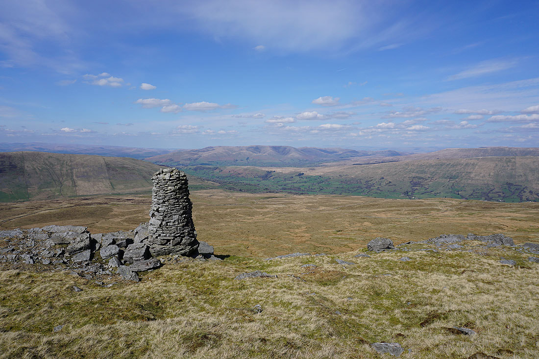
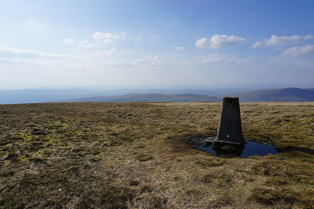
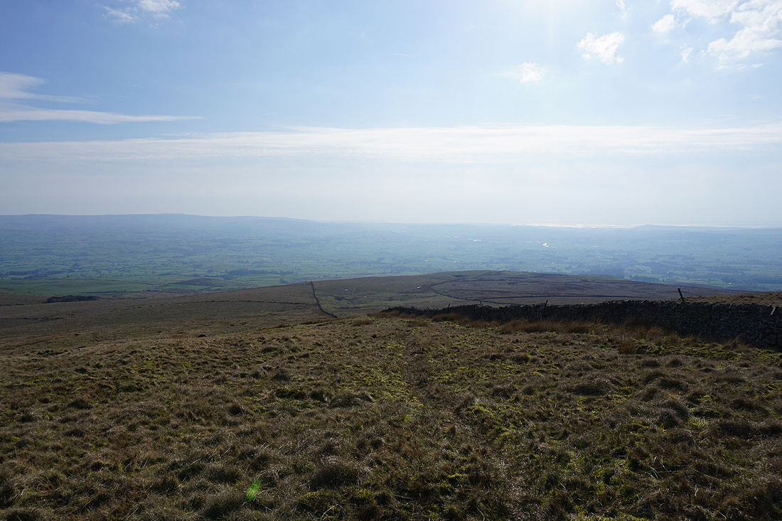
At the trig point on Gragareth, and I've got great weather for taking in the view. Starting with the sun shining on Morecambe Bay in the distance.
I can just make out the hazy outline of the Lake District fells in the distance
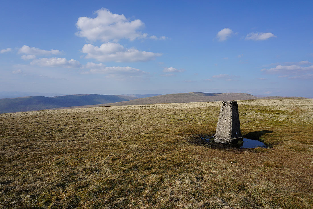
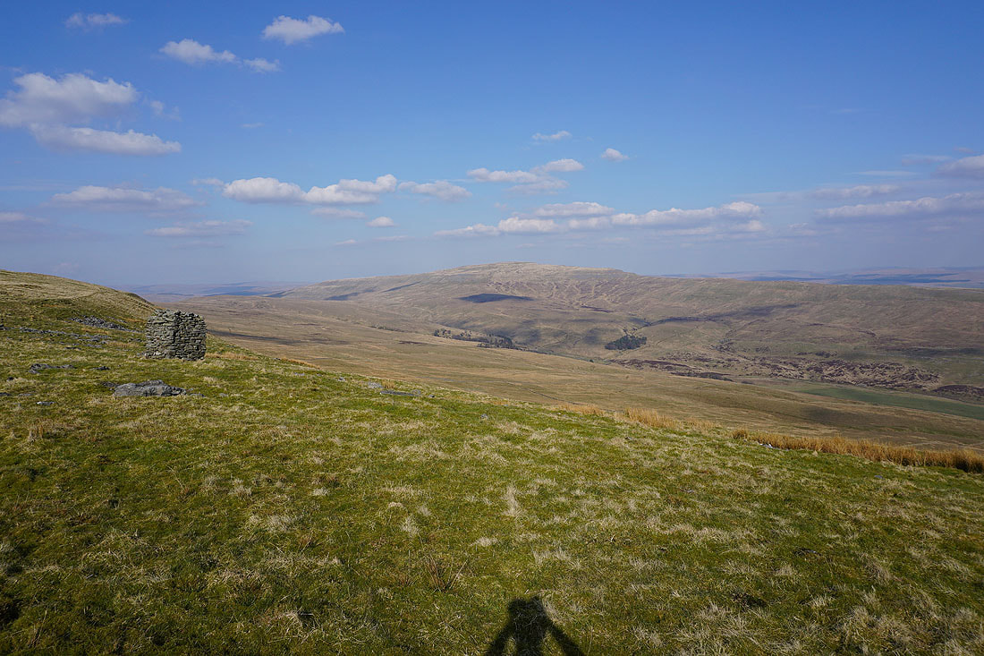
Middleton Fell, the Howgills, Crag Hill and Great Coum
The top of Whernside rises above the nearby moor
Finally, Ingleborough on the left to the southeast..
..moving round to the Forest of Bowland to the south
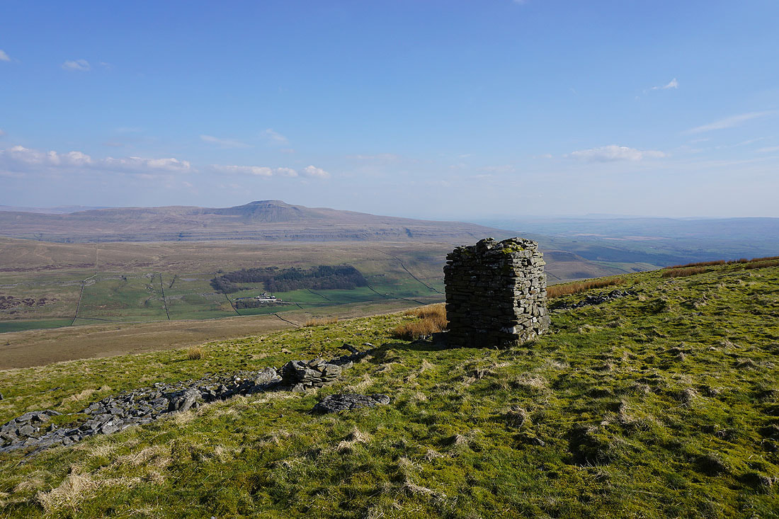
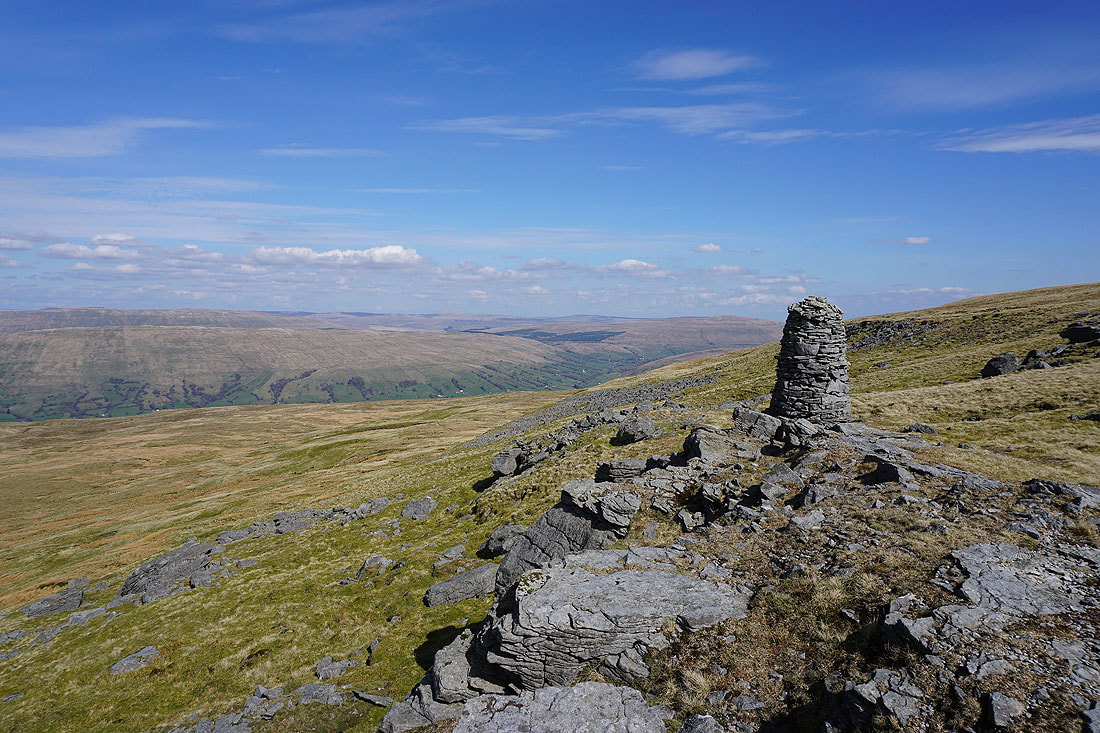
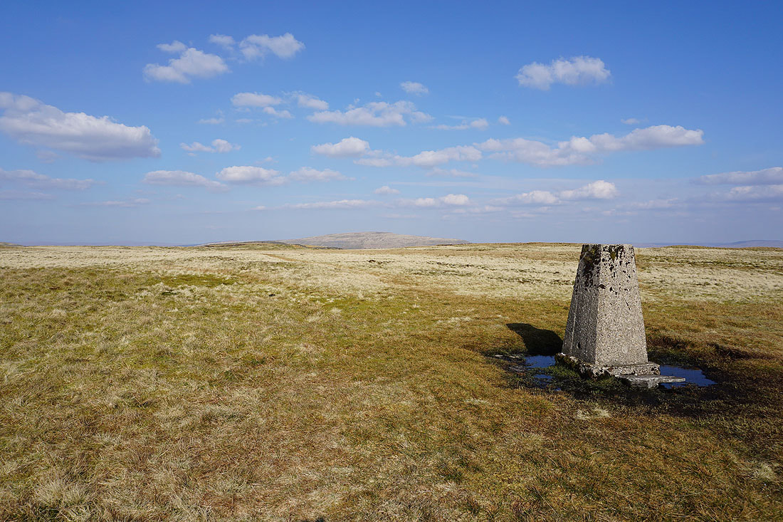
This stone pillar at the top of the slope up from Kingsdale has a great view across to Ingleborough..
..and to Whernside above the head of Kingsdale
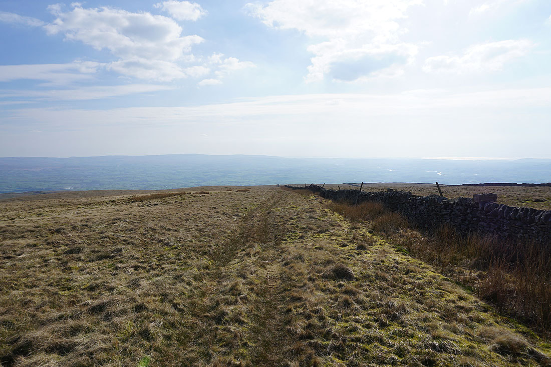
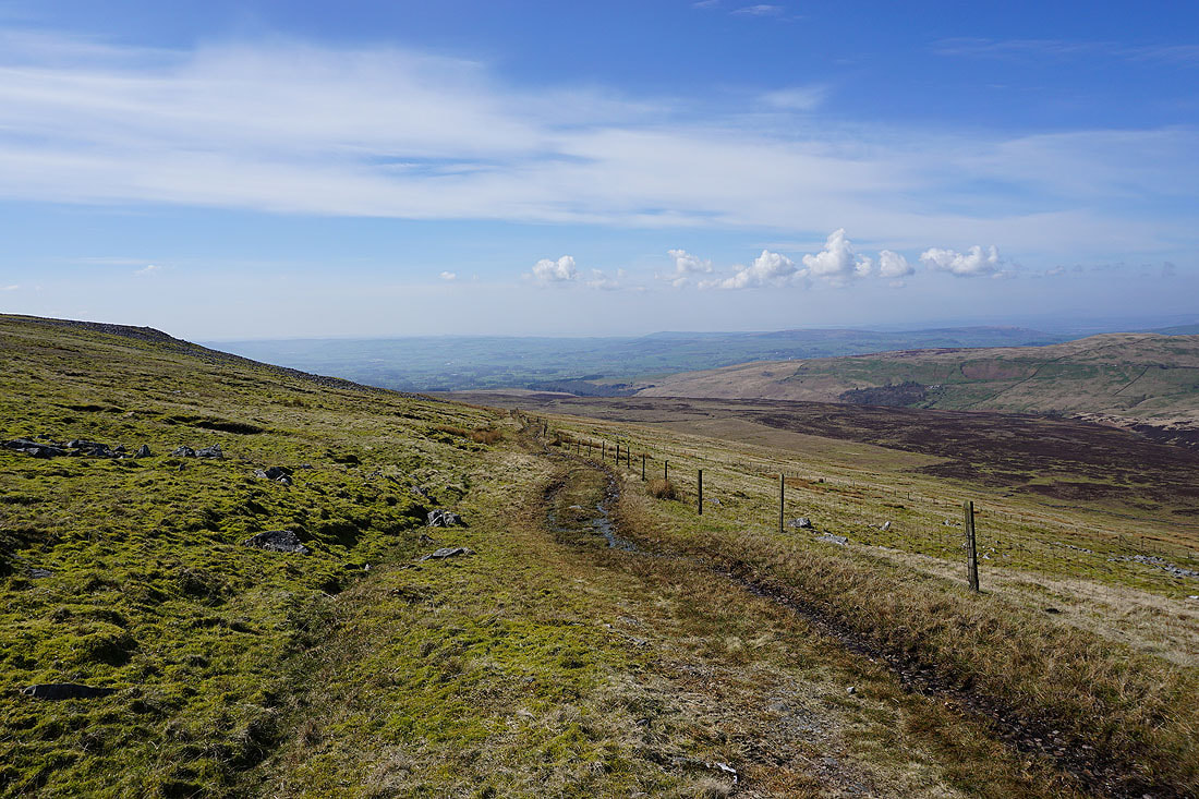
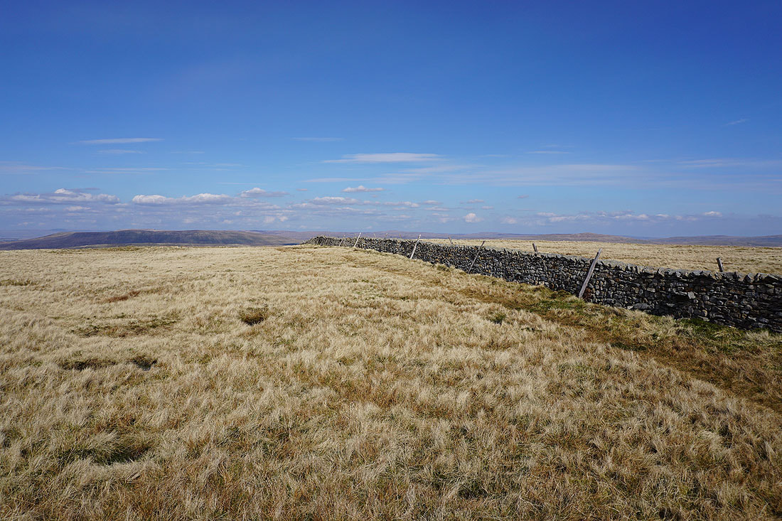
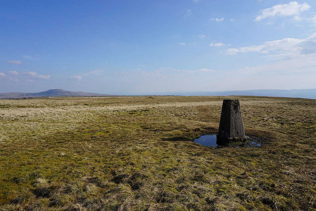
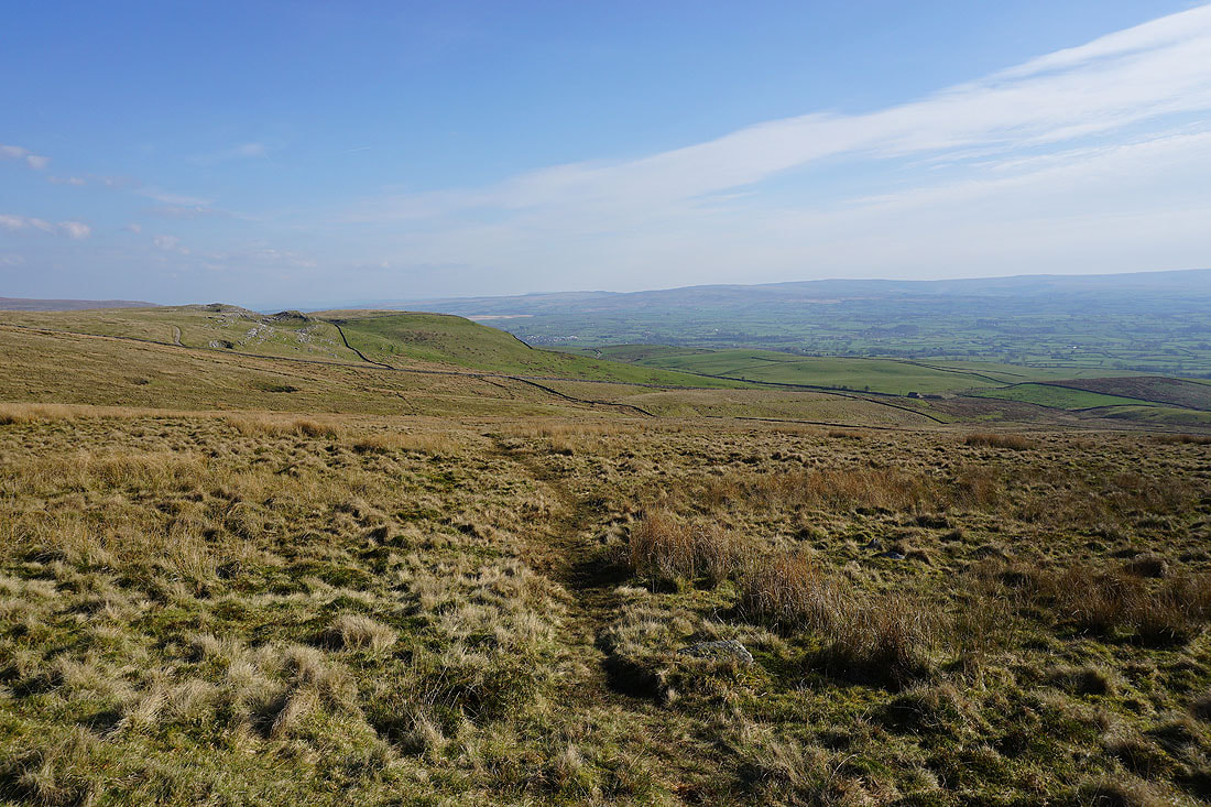
As I follow the wall downhill I have a view of the northern fells of the Forest of Bowland and Morecambe Bay in front of me..
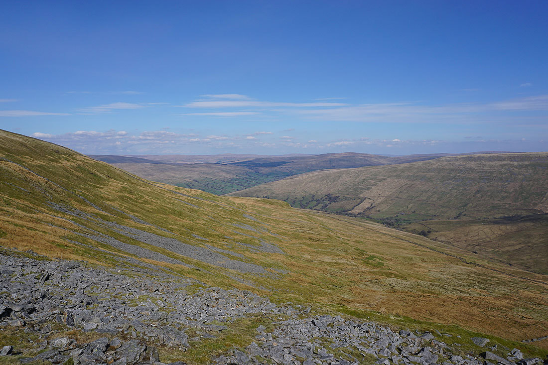
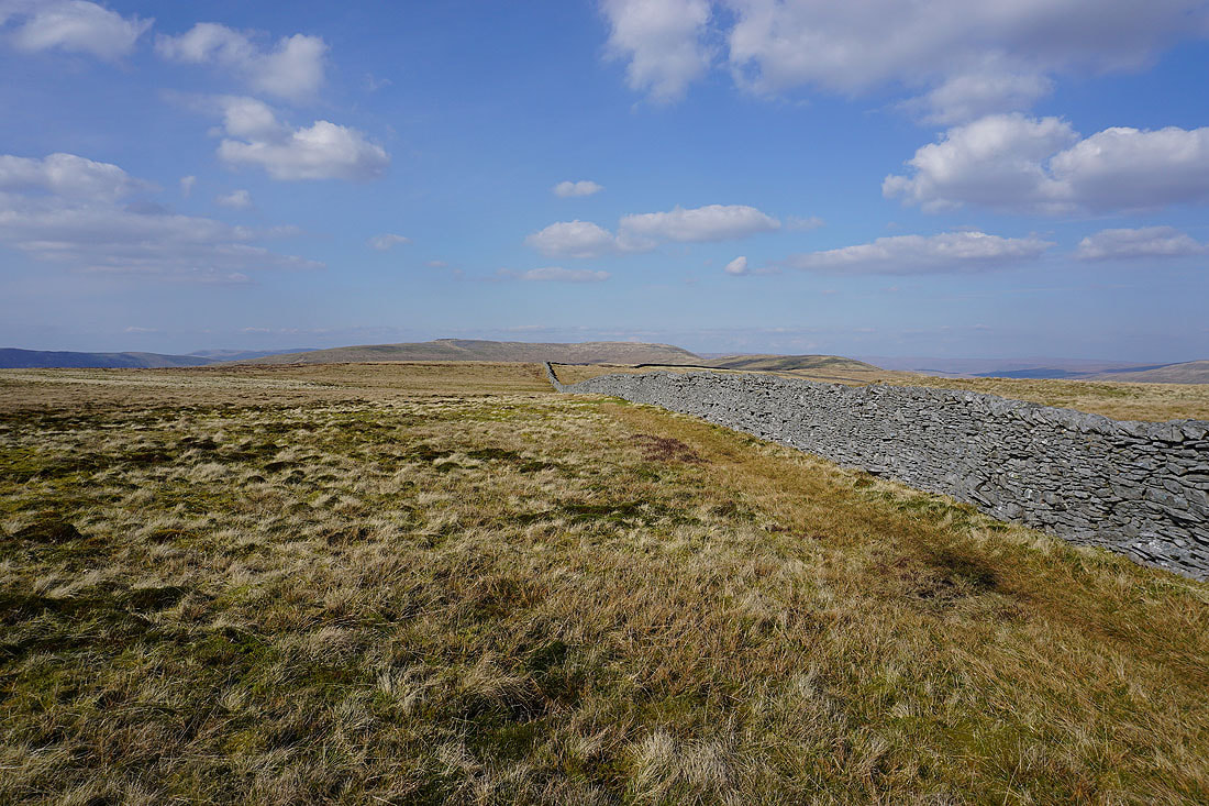
Looking back up the broad slopes of Gragareth
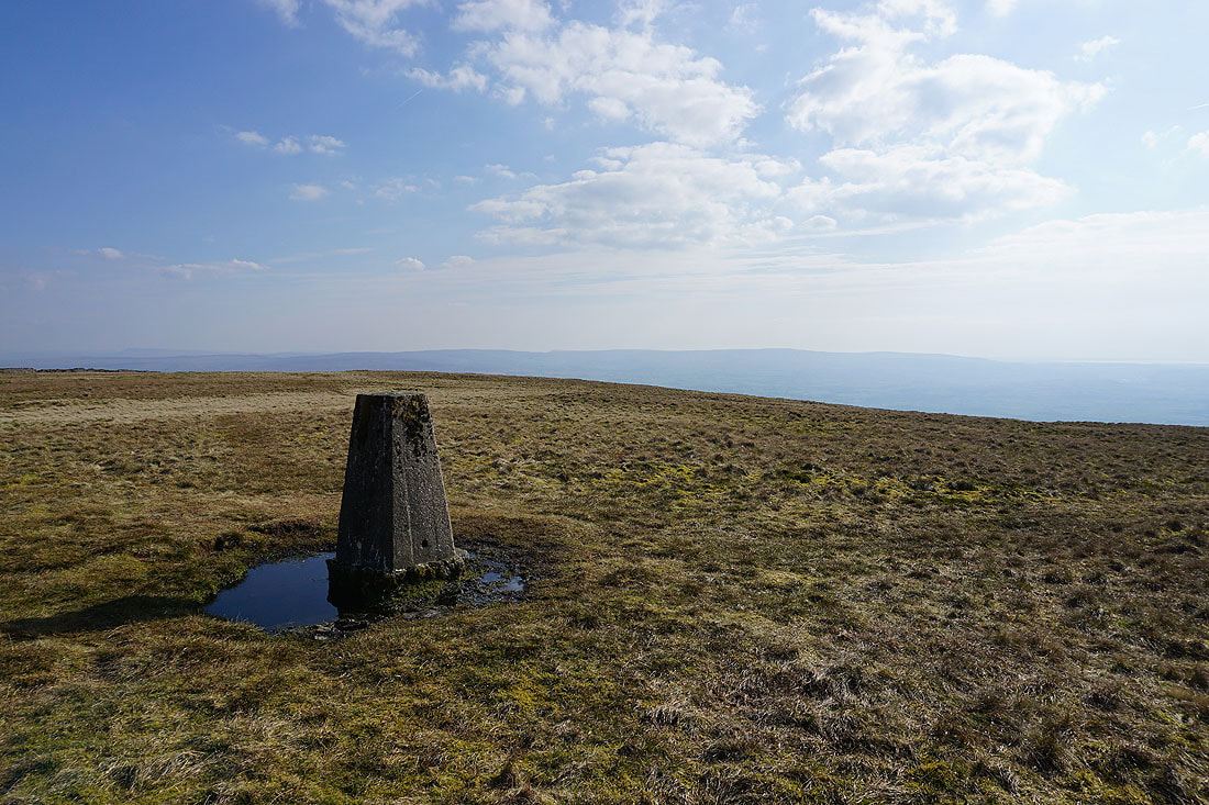
Ingleborough, the stand of trees that hides Marble Steps Pot, and Tow Scar
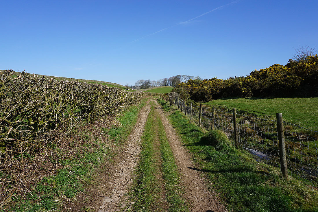
Following the path across the moor to Turbary Road
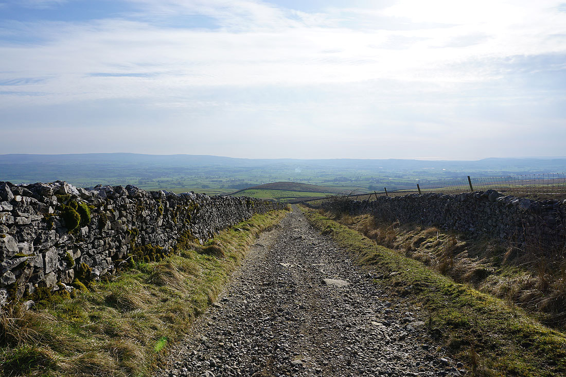
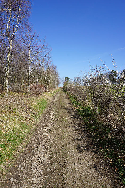
A short walk down the track of Turbary Road and I'll be back to where I parked at the top of Masongill Fell Lane