8th August 2010 - A Kentmere Horseshoe
Walk Details
Distance walked: 11.5 miles
Total ascent: 3694 ft
OS map used: OL7 - The English Lakes, South-eastern area
Time taken: 7 hrs
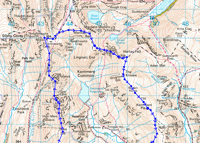
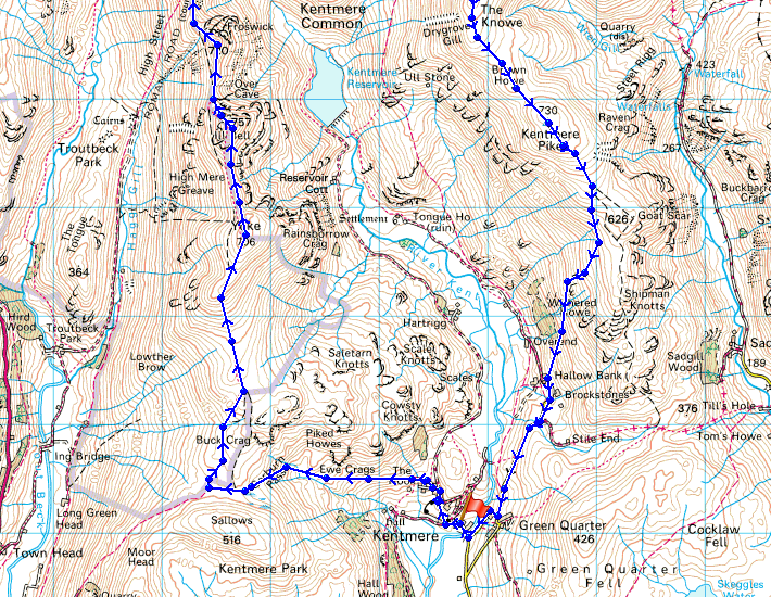
Route description: Kentmere-Garburn Road-Garburn Pass-Yoke-Ill Bell-Froswick-Thornthwaite Crag-Mardale Ill Bell-Nan Bield Pass-Harter Fell-Kentmere Pike-Hallow Bank-High Lane-Kentmere
A walk round the Kentmere Horseshoe visiting Yoke, Ill Bell, Froswick, Thornthwaite Crag, Mardale Ill Bell, Harter Fell and Kentmere Pike.
Route map
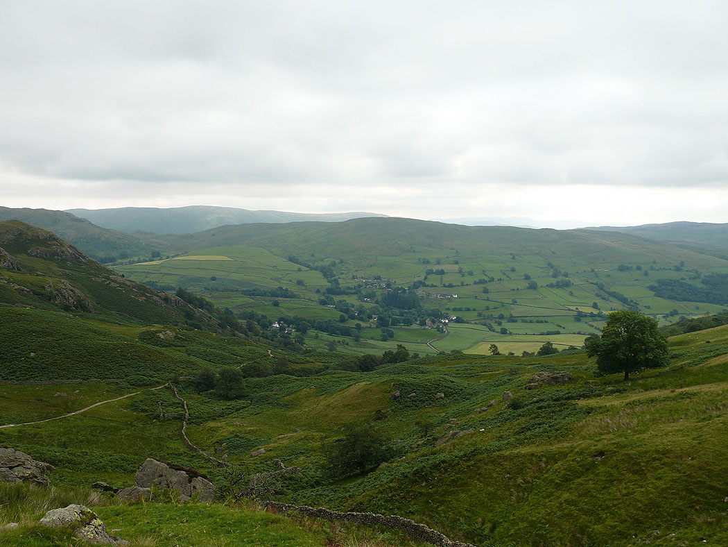
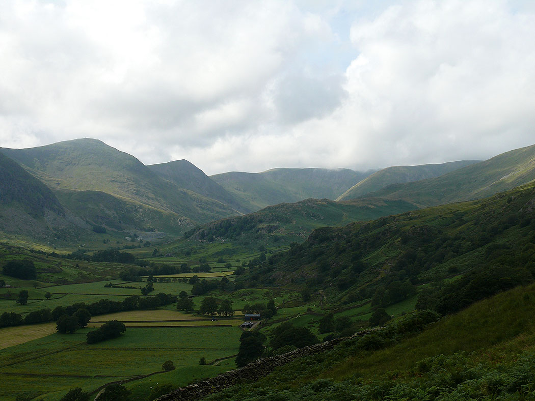
Kentmere from the Garburn Road
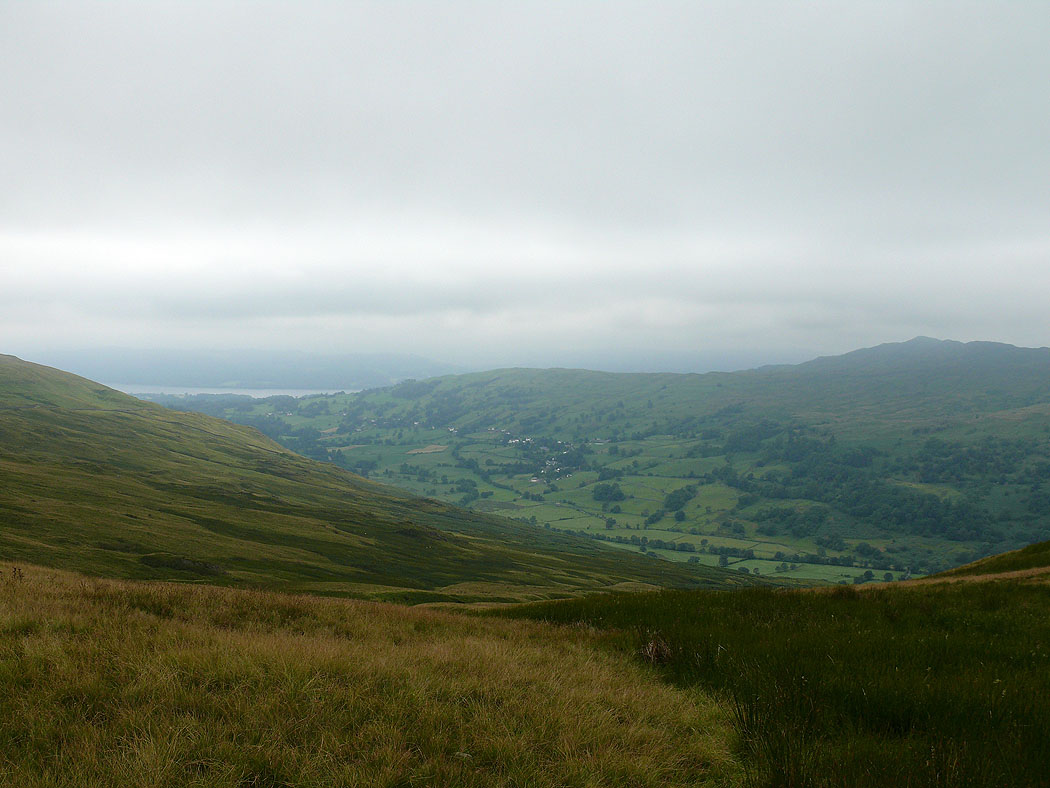
Troutbeck
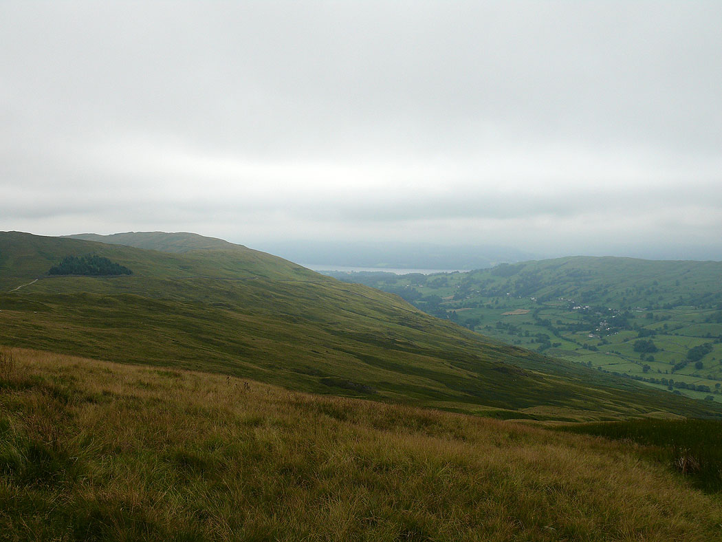
Sour Howes and Sallows with a bit of Windermere
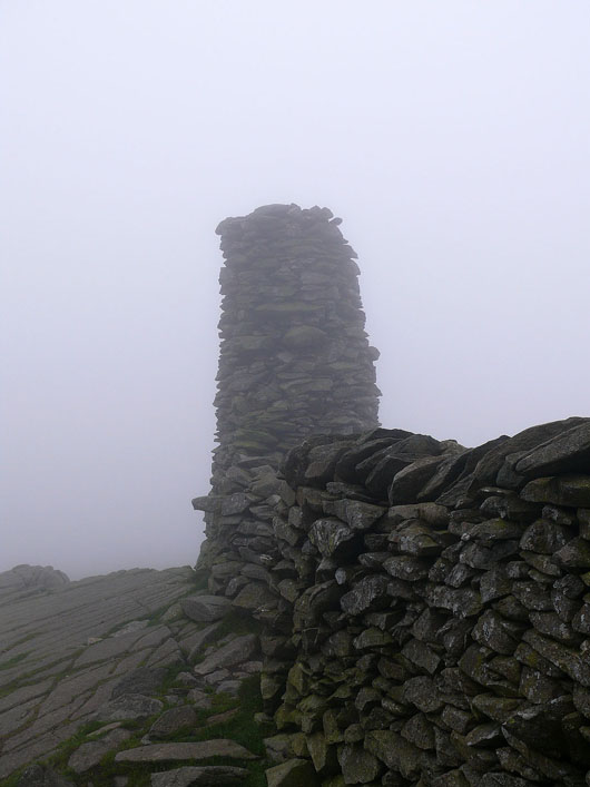
Thornthwaite Beacon
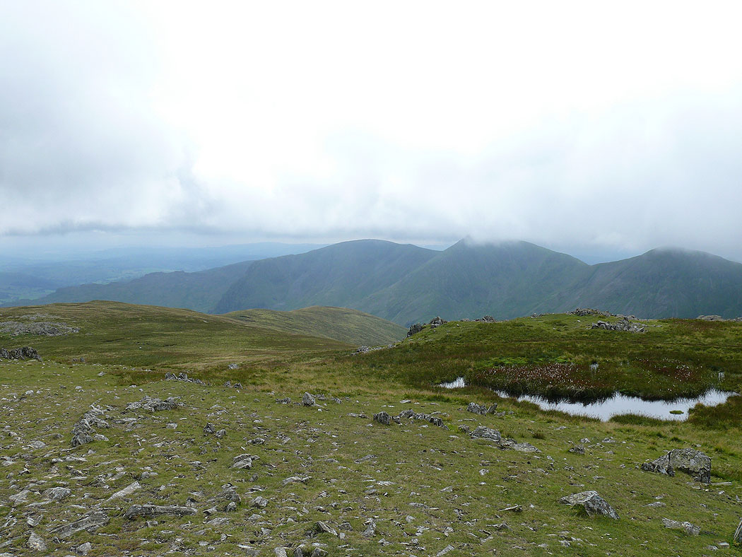
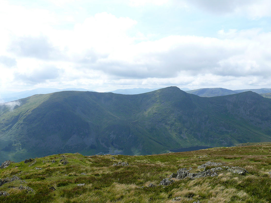
On Mardale Ill Bell. Yoke, Ill Bell and Froswick as the cloud lifts and breaks.
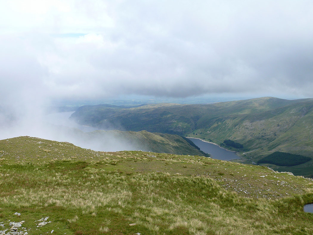
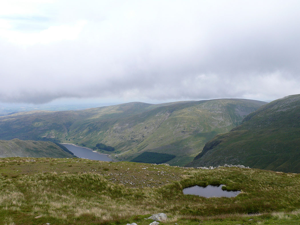
Haweswater
Selside Pike and Branstree
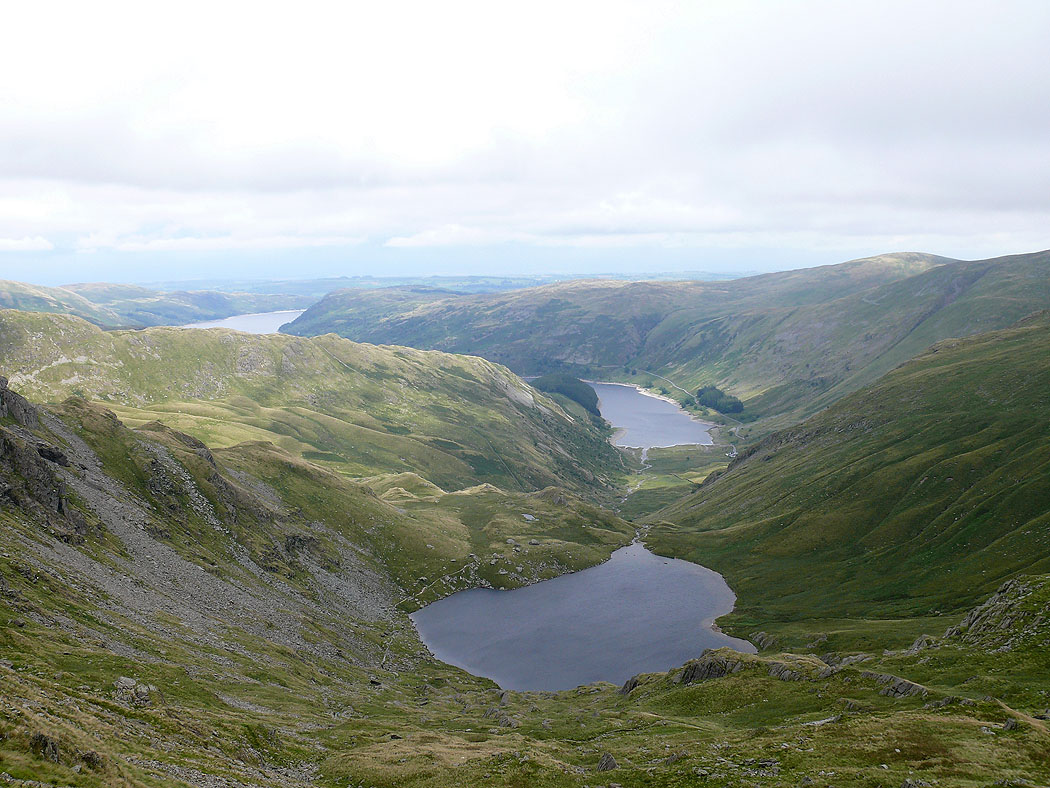
Small Water and Haweswater
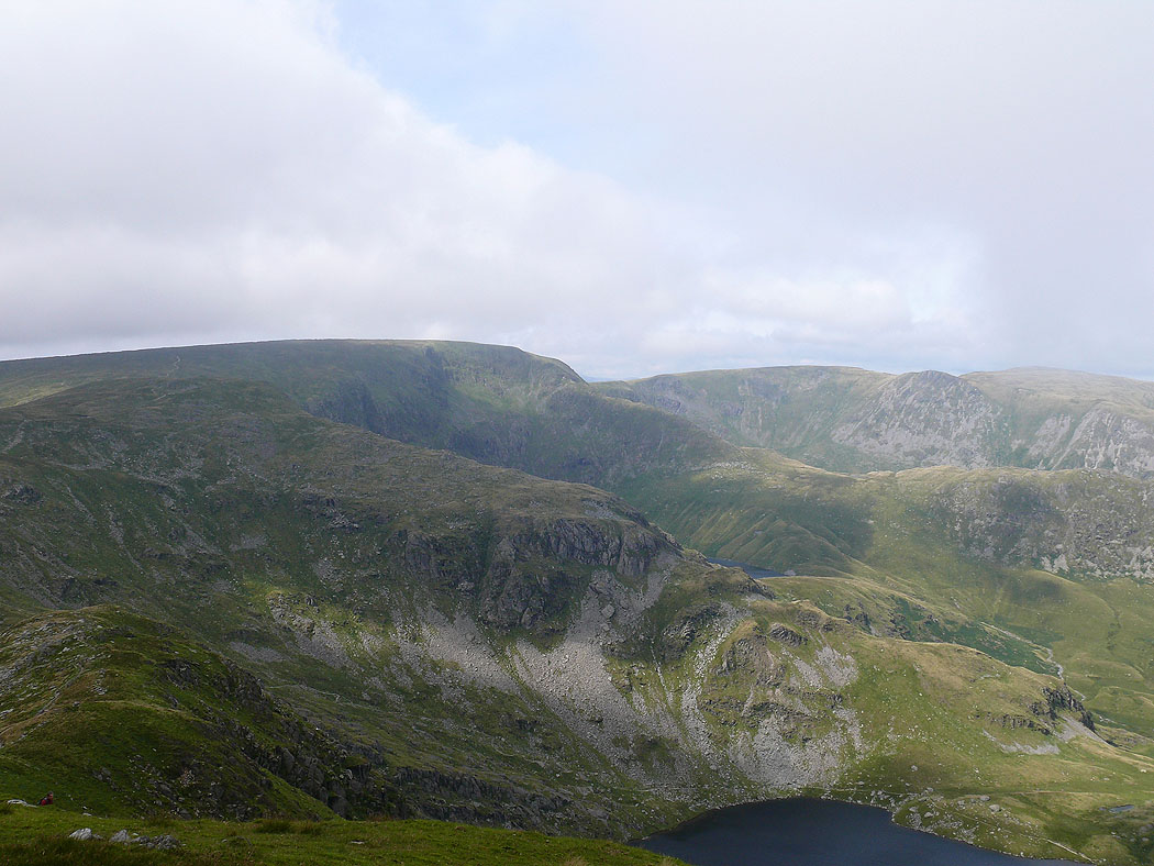
High Street from the path up Harter Fell
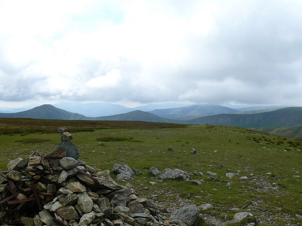
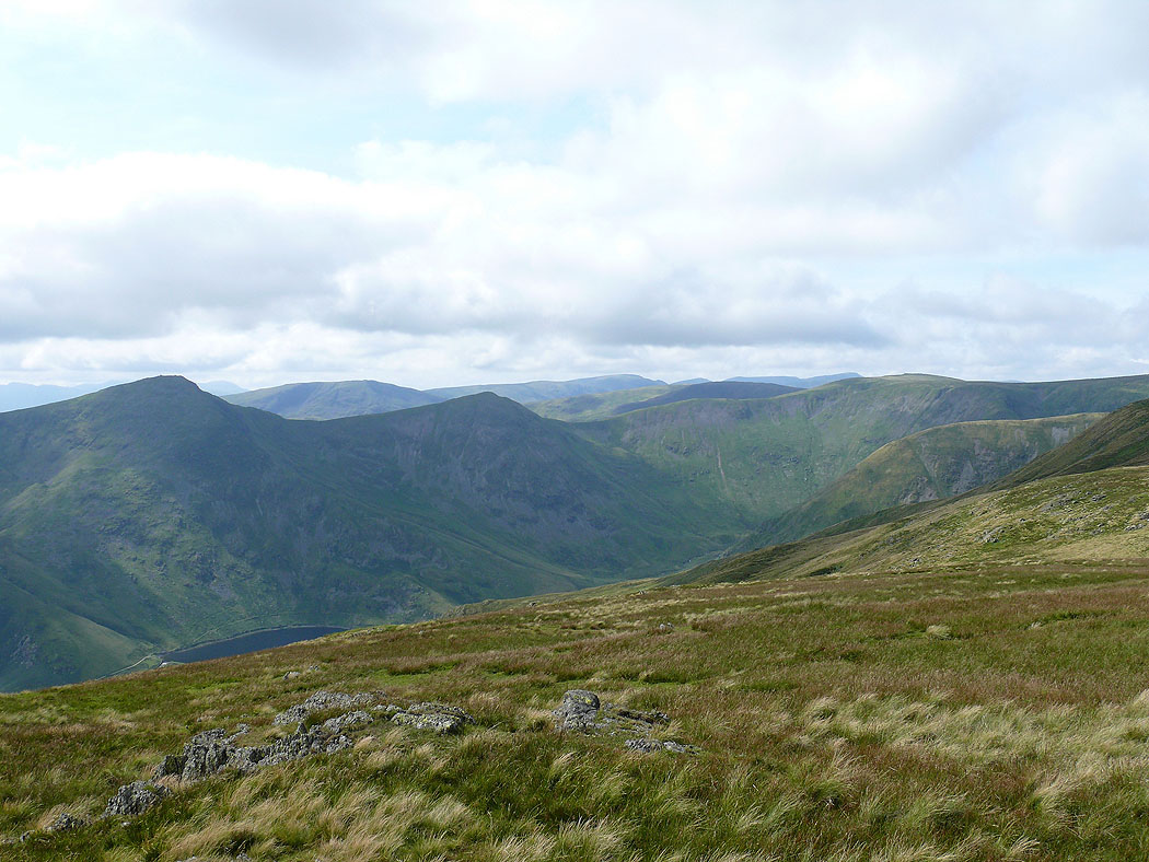
View from the summit of Harter Fell
On Kentmere Pike
On Kentmere Pike
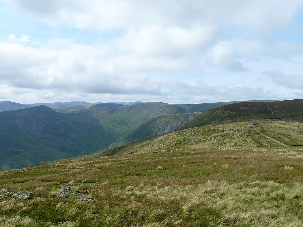
The view back up to the head of Kentmere
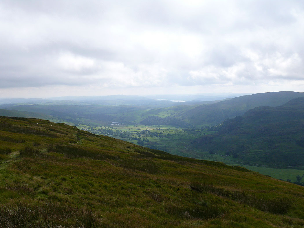
Heading down into Kentmere
Kentmere
