8th August 2015 - Crag Hill, Great Coum & Gragareth
Walk Details
Distance walked: 13.9 miles
Total ascent: 2472 ft
OS map used: OL2 - Yorkshire Dales, Southern & western areas
Time taken: 8 hrs
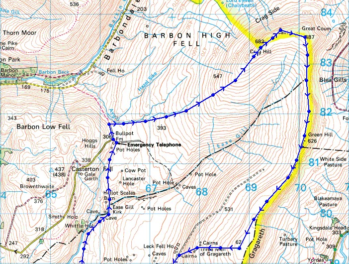
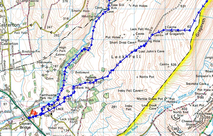
Route description: Cowan Bridge-Leck-Leck Mill-Springs Wood-Ease Gill Kirk-Bullpot Farm-Little Aygill-Richard Man-Crag Hill-The Crag-Great Coum-Green Hill-Gragareth-Three Men of Gragareth-Leck Fell House-Cowan Bridge
This was the walk that I'd originally planned to do last weekend and decided to postpone for better weather. I'm glad I did! Today was the perfect day for fell-walking. Sunny spells, just warm enough even with the breeze that was blowing and great visibility to take in the views that went on for miles. The route is quite tough going in places, especially heading up Crag Hill, with the tussocky grass and occasional bits of bogginess to negotiate. Considering what a nice day it was I was surprised not to meet anyone at all (apart from passing a couple going the other way at Bullpot Farm) while I was up there. I have done this walk a couple of times before and I met at least a couple of people on those occasions, I guess there must have been more attractive places to be.
From the Fraser Hall car park in Cowan Bridge (it's free but I made a donation to the honesty box) I turned left, walked under the bridge and up the road to a crossroads where I turned left and followed the road to Leck. When I reached the end of the road at Low Leck House I went through a gate and onto the footpath up the valley of Leck Beck, keeping to the lower path through Springs Wood before heading uphill and joining the upper path further up the valley. Eventually, I reached the top of Leck Beck and after passing through Ease Gill Kirk I made it to Bullpot Farm. I then made my way along the bridleway to Barbondale, on reaching its top and passing through a gate access land was entered on the right. The roughest part of the walk came next with a long gradual ascent to Crag Hill, initially following Little Aygill uphill. After taking lunch on Crag Hill the next part of the route was easy, follow the high ground round the head of Ease Gill. Heading south from Great Coum I took the east side of the wall and then crossed to the west on the way up Green Hill and to Gragareth. There was a last stop of the day at the Three Men of Gragareth as I descended to Leck Fell House before the walk down the road back to Cowan Bridge.
Route map
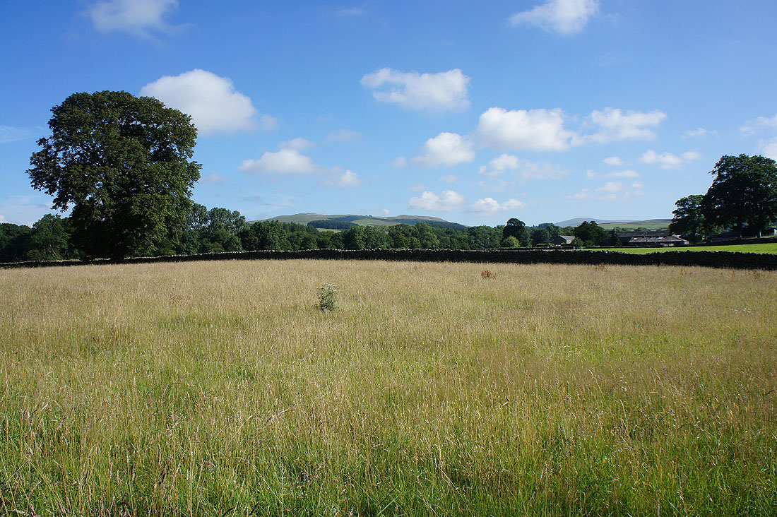
A distant Barbon Low Fell as I walk the road from Cowan Bridge to Leck
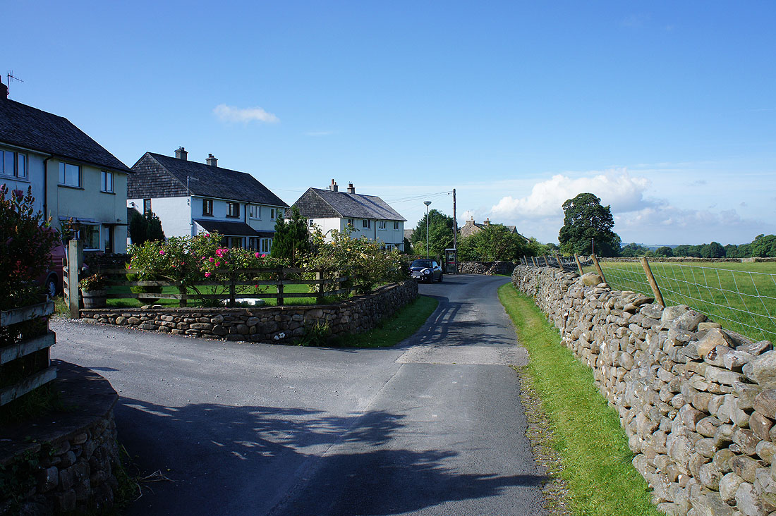
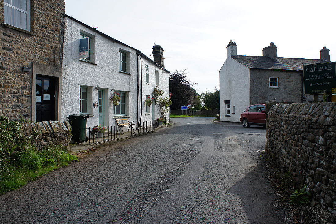
The quiet hamlet of Leck
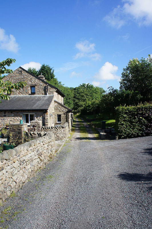
The road comes to an end at Low Leck House
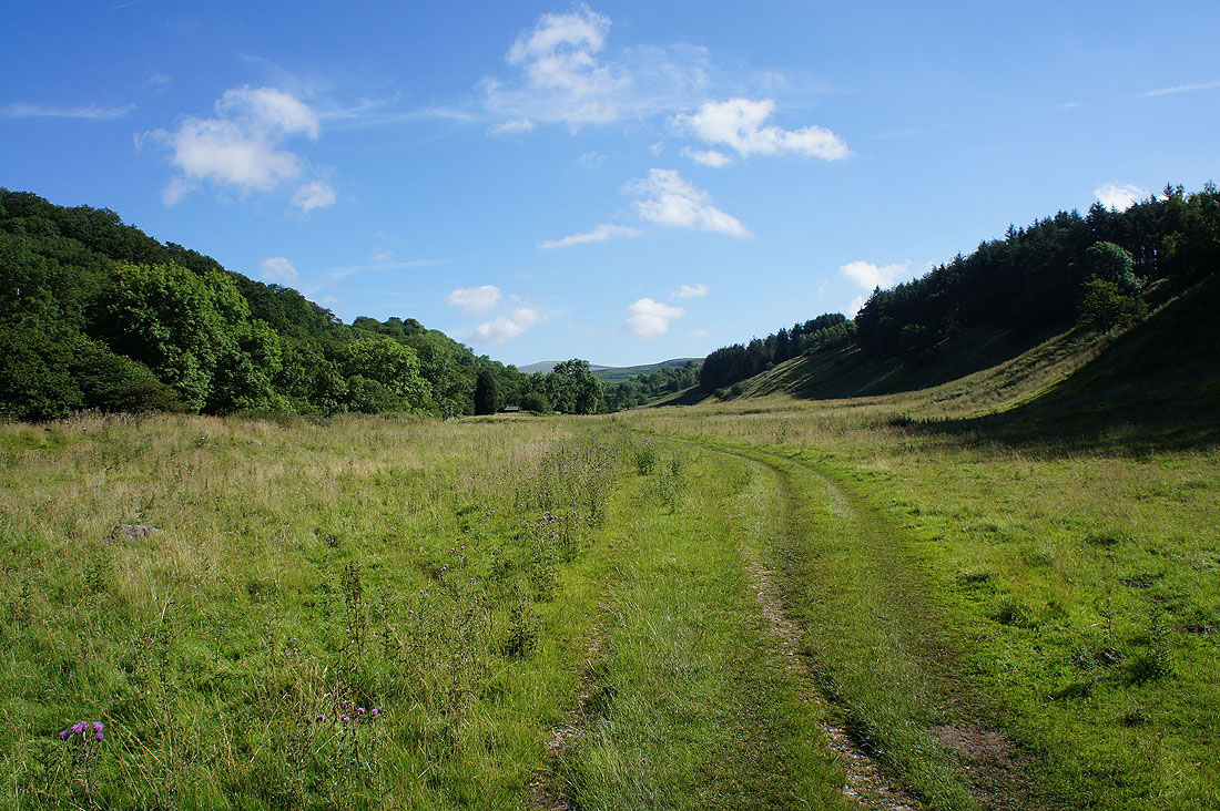
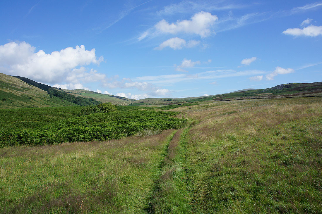
and then its onto the footpath up the valley of Leck Beck
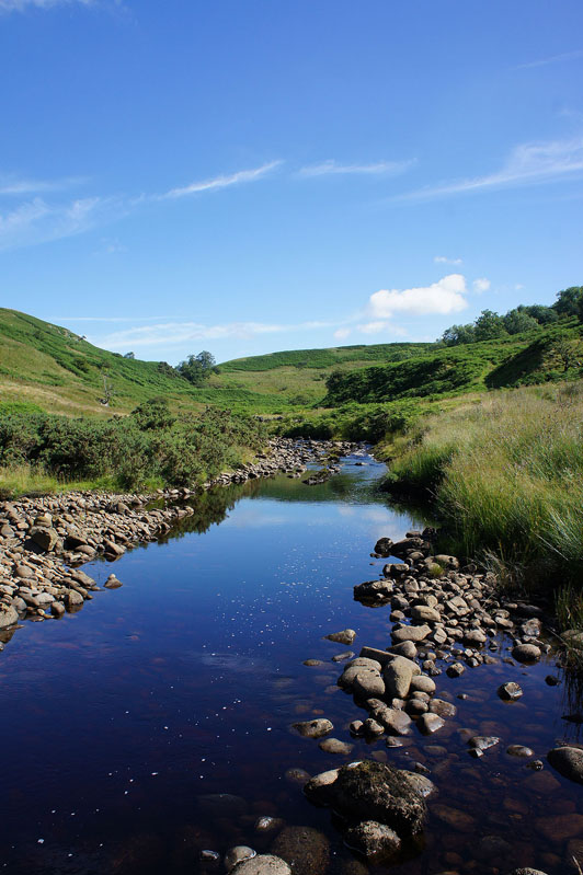
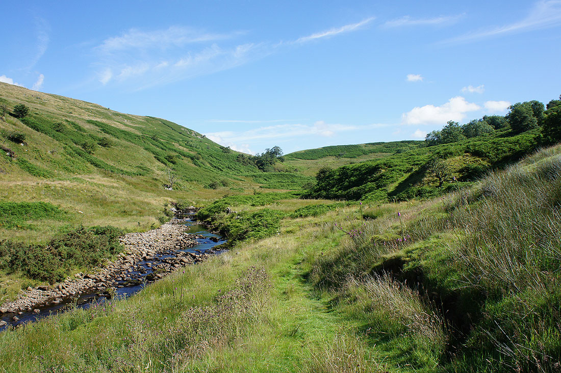
A brief opportunity to walk by the beck before I have to leave it behind as the path takes to the hillside..
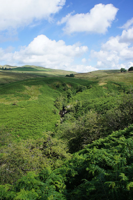
This is a rough bit of country with steep sided ravines and rampant bracken
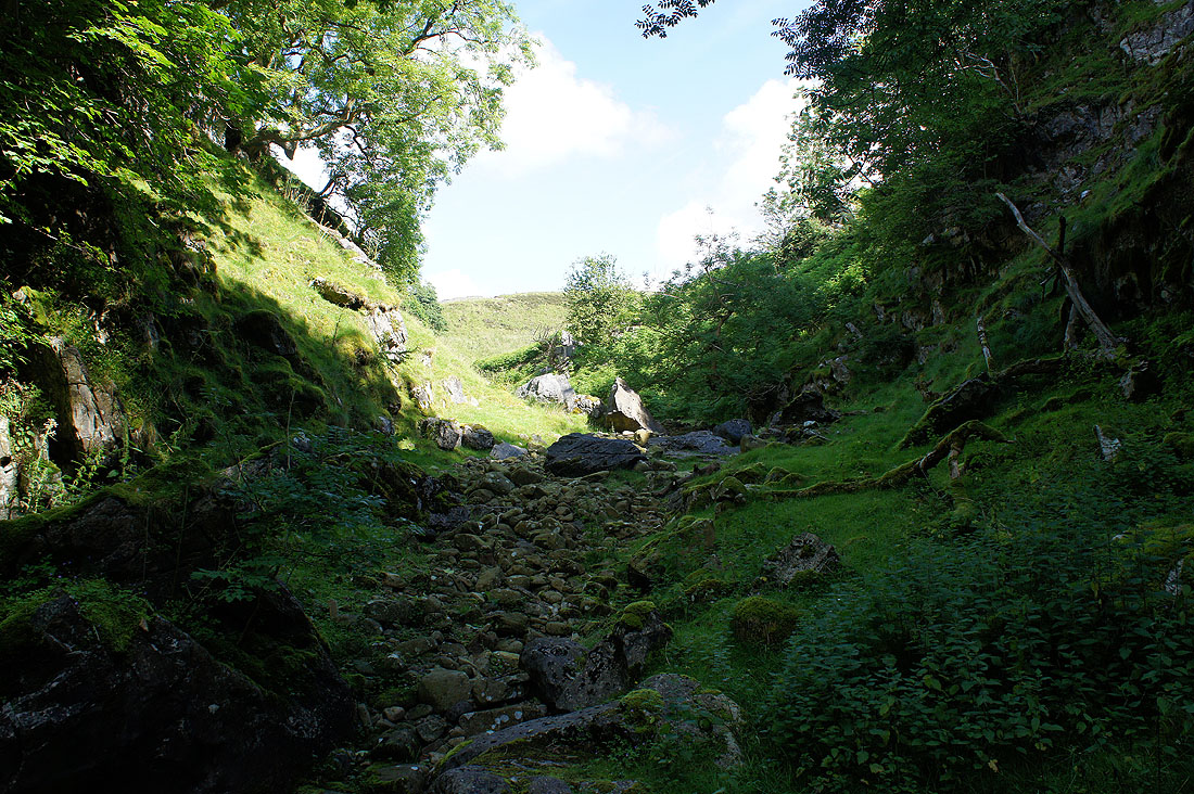
Dark and damp in Ease Gill Kirk
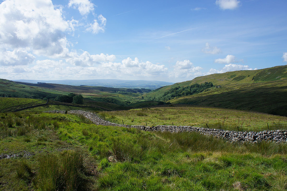
Looking back down Leck Beck with the Forest of Bowland in the distance
The two stands of trees mark a couple of landmarks on the route. The nearer one is the site of the Bullpot of the Witches (I could hear water falling into it) and the other one surrounds Bullpot Farm.
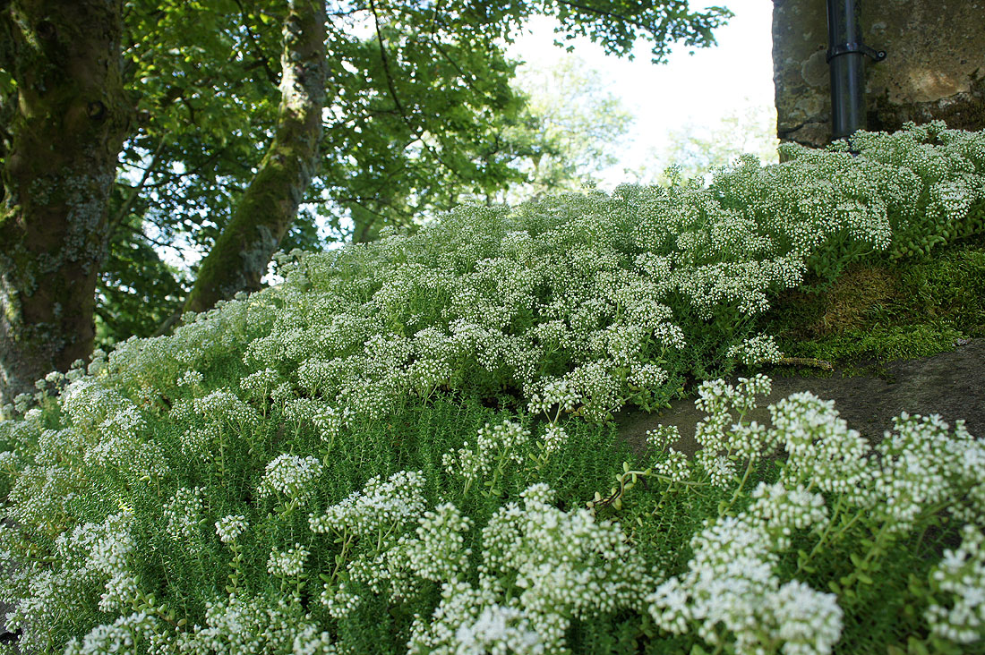
A fine crop of sedum in flower on the roof of one of the outbuildings at Bullpot Farm
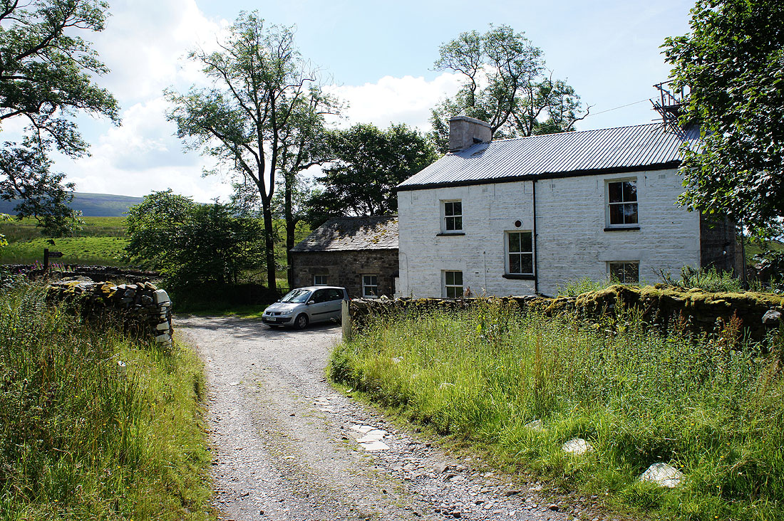
Bullpot Farm, headquarters of the Red Rose Cave & Pothole Club
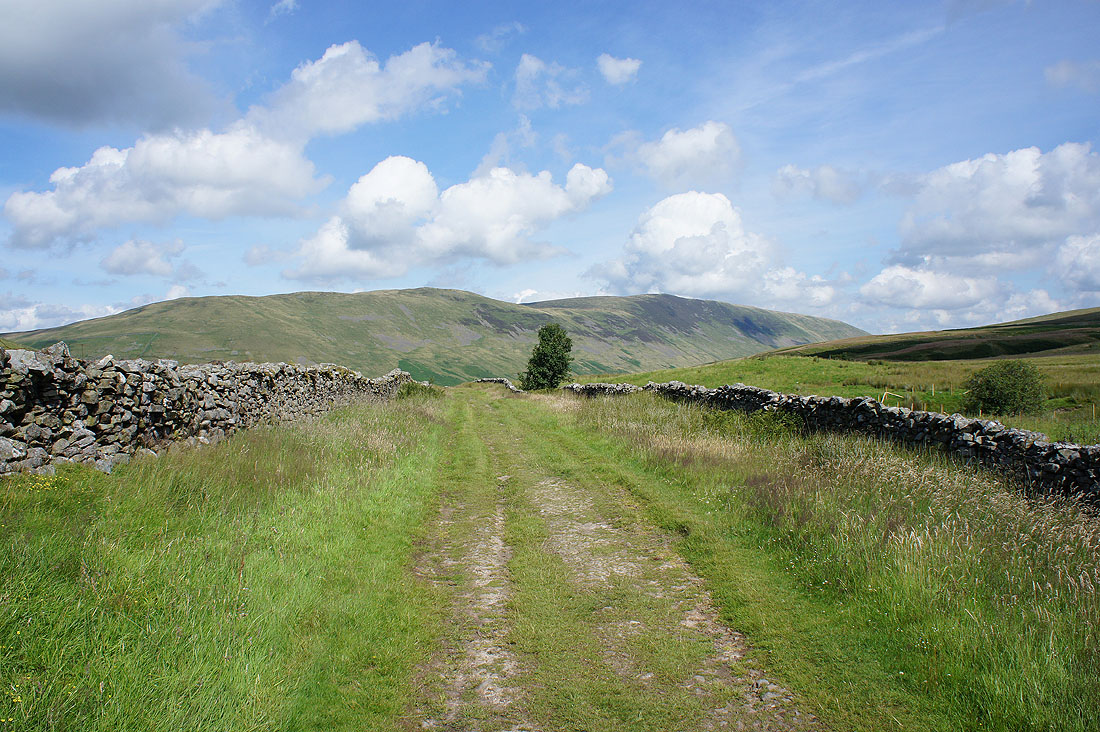
On the bridleway to Barbondale with Middleton Fell ahead
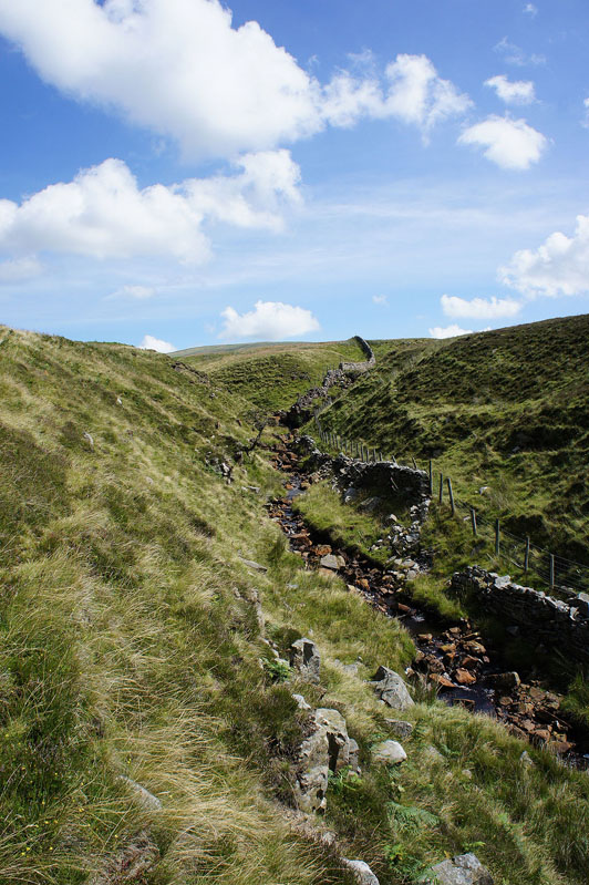
At the top of the bridleway I went through a gate on the right to follow Little Aygill uphill
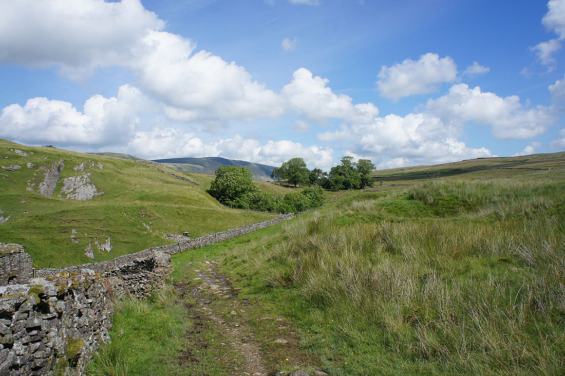
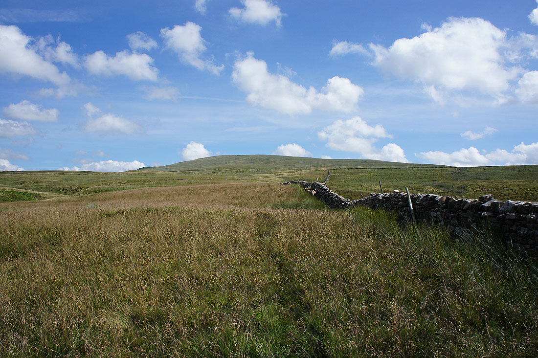
The slopes of Crag Hill rise ahead
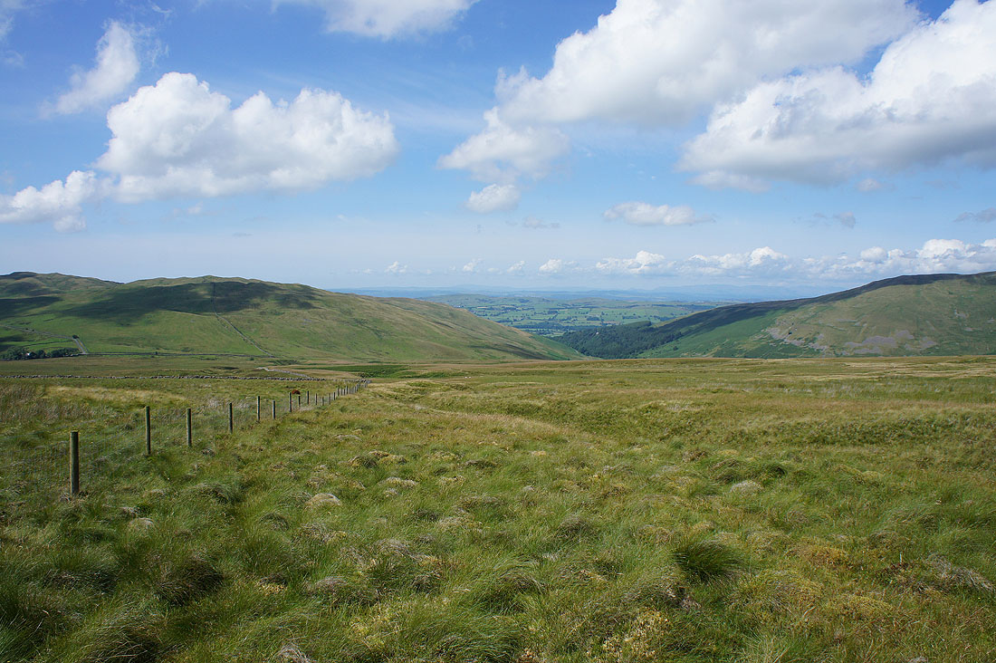
Looking back down with Barbon Low Fell on the left and Barbondale on the right
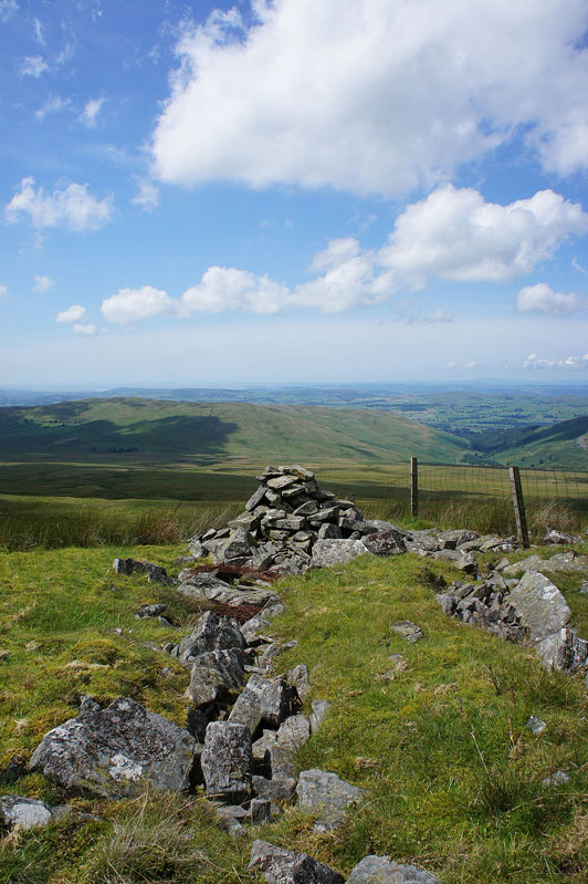
The "Pile of Stones" that is Richard Man
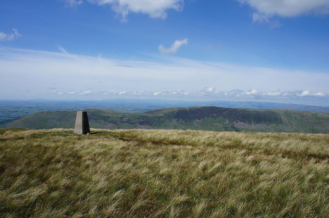
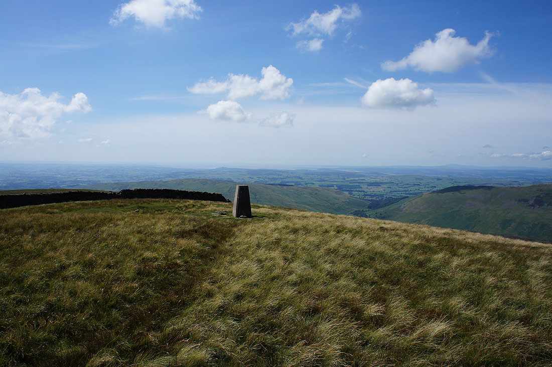
After a much needed break for lunch (the nearby wall was conveniently placed), a few photos of the extensive view. The Lake District fells beyond Middleton Fell.
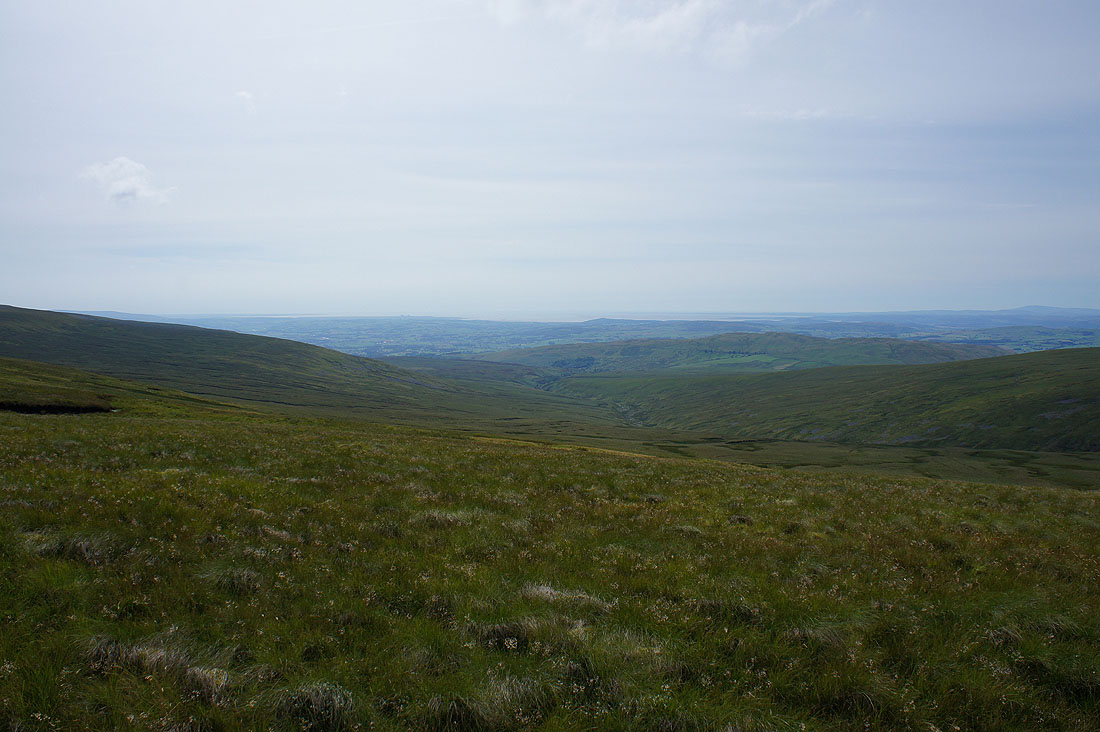
Morecambe Bay
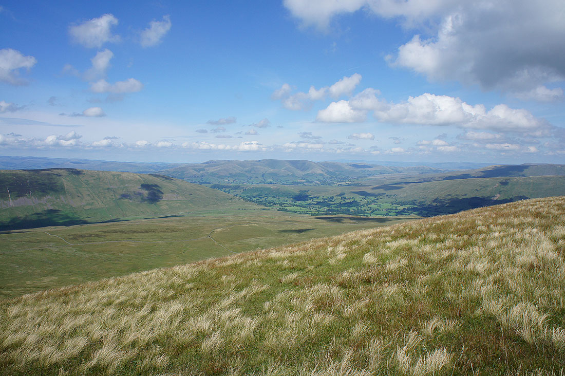
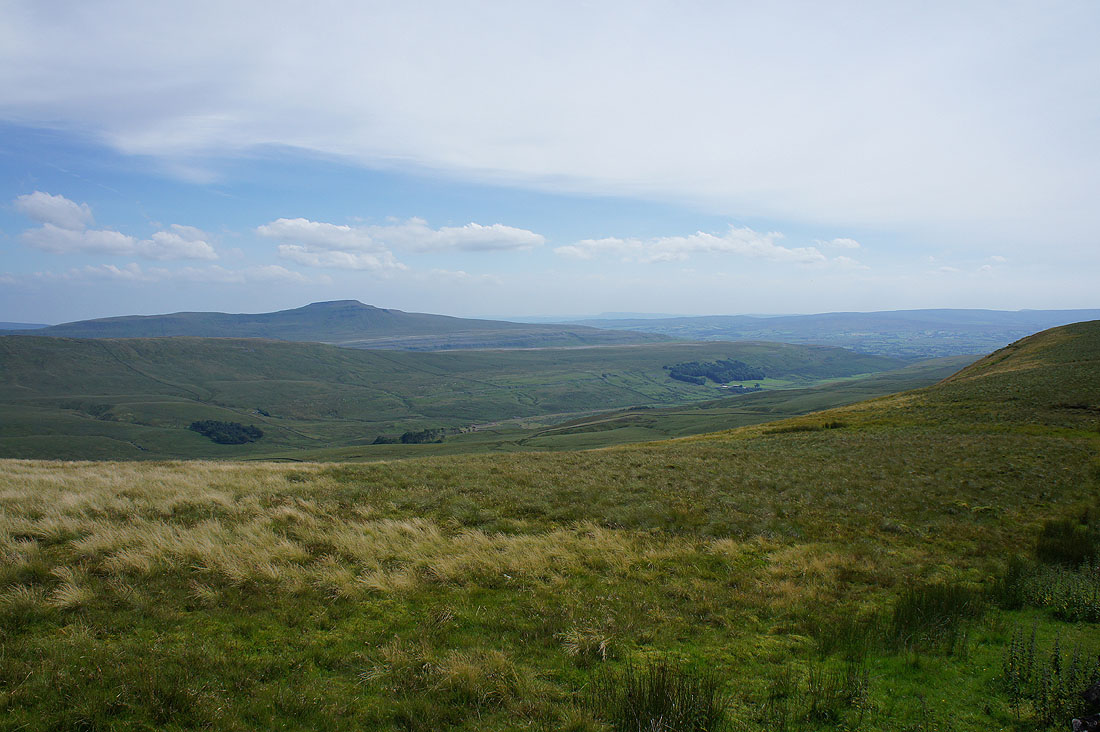
Looking across Dentdale to the Howgills
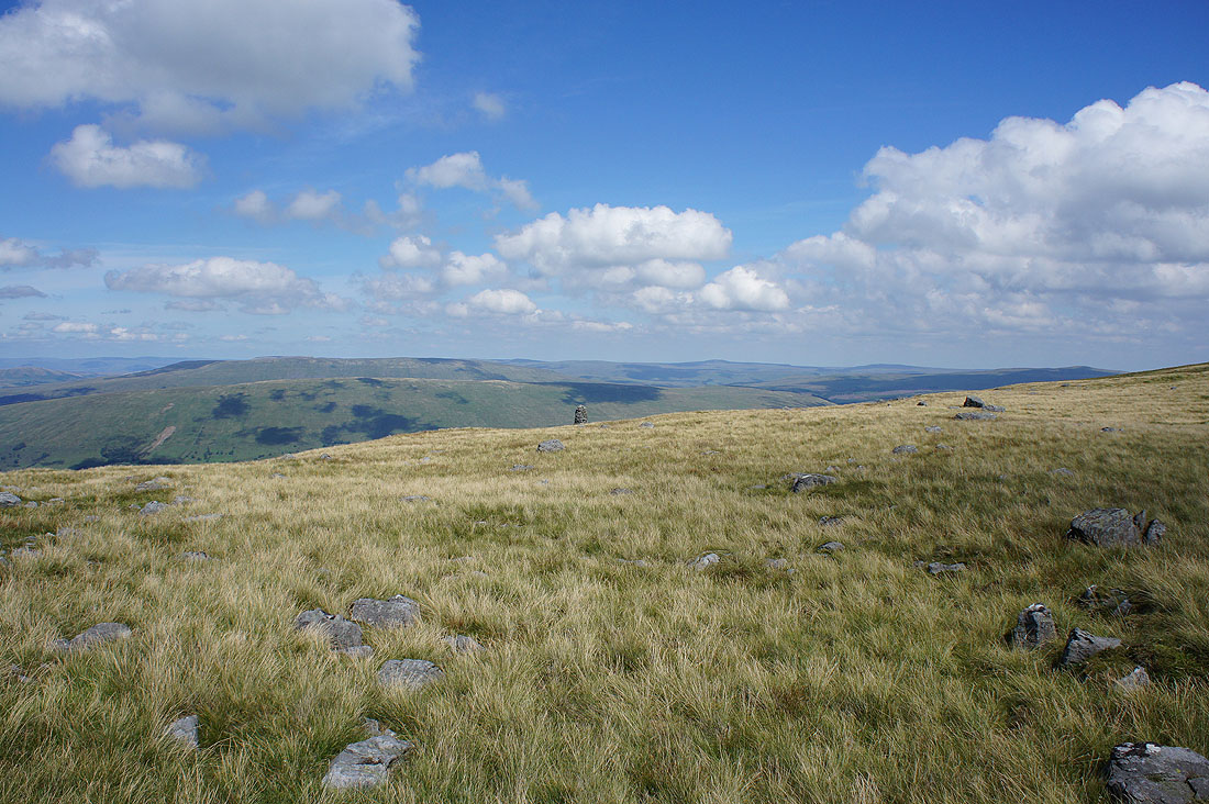
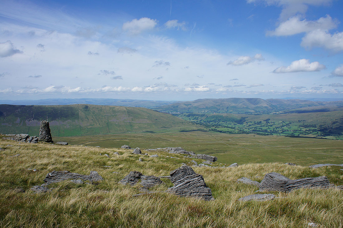
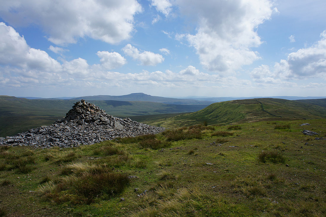
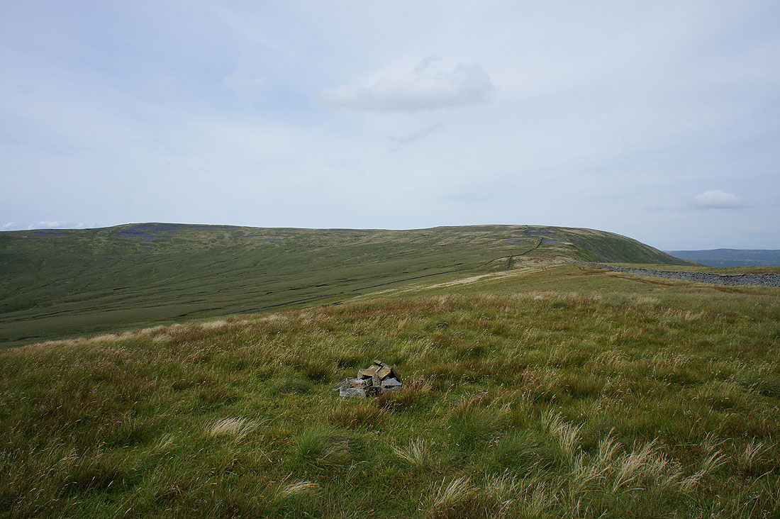
I could have followed the summit wall across to Great Coum but it's worth making a detour to the northern edge of the fell to the cairn that's ahead. There are great views to be had.
The eastern and far eastern fells of the Lake District in the distance on the left, the Howgills and Dentdale
Rise Hill on the other side of Dentdale, Great Shunner Fell, Lovely Seat and Great Knoutberry Hill
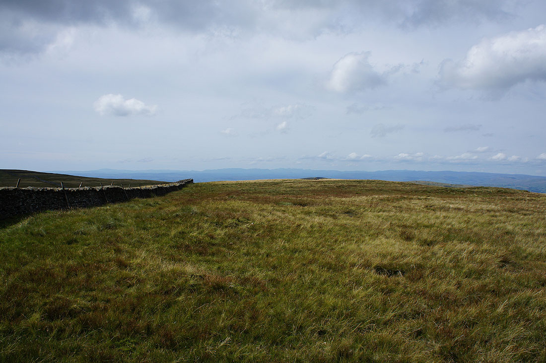
The broad top of Great Coum
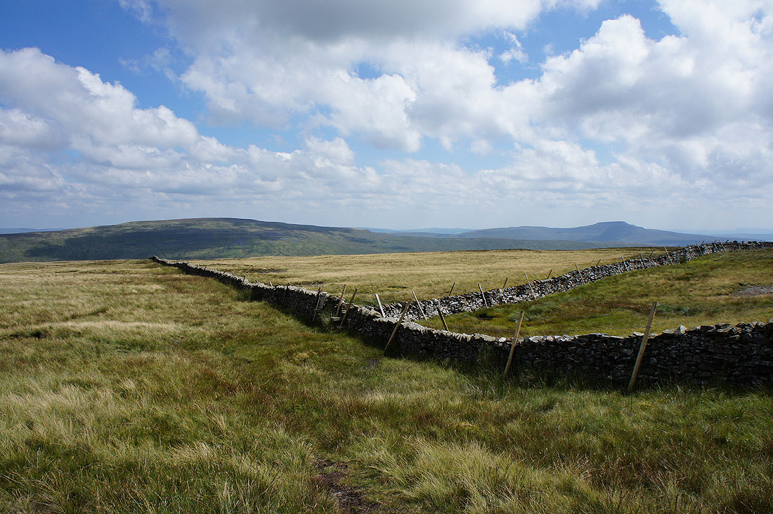
Whernside and Ingleborough. At this point I'll cross the summit wall, there are stiles for both sides of the wall heading south. I took the one for the eastern side.
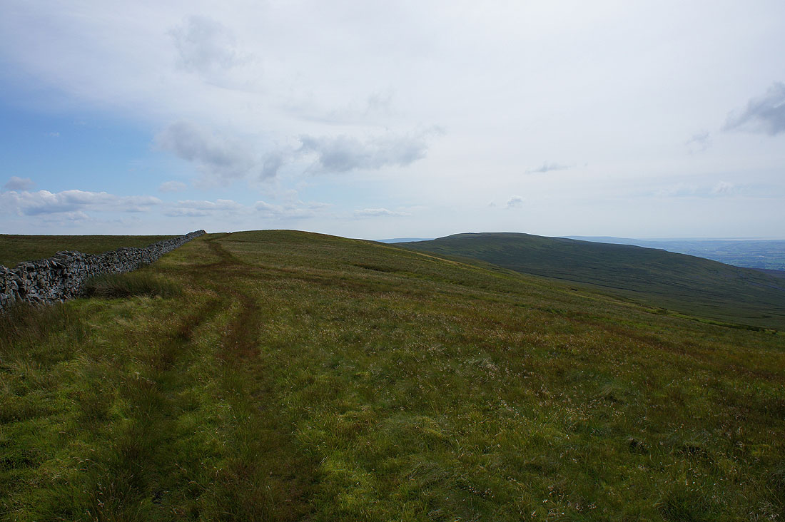
The ridge ahead to Green Hill and Gragareth
Ingleborough from the cairn at Gatty Pike
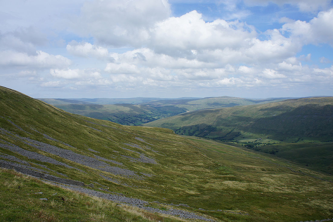
The slopes of Great Coum fall into Deepdale
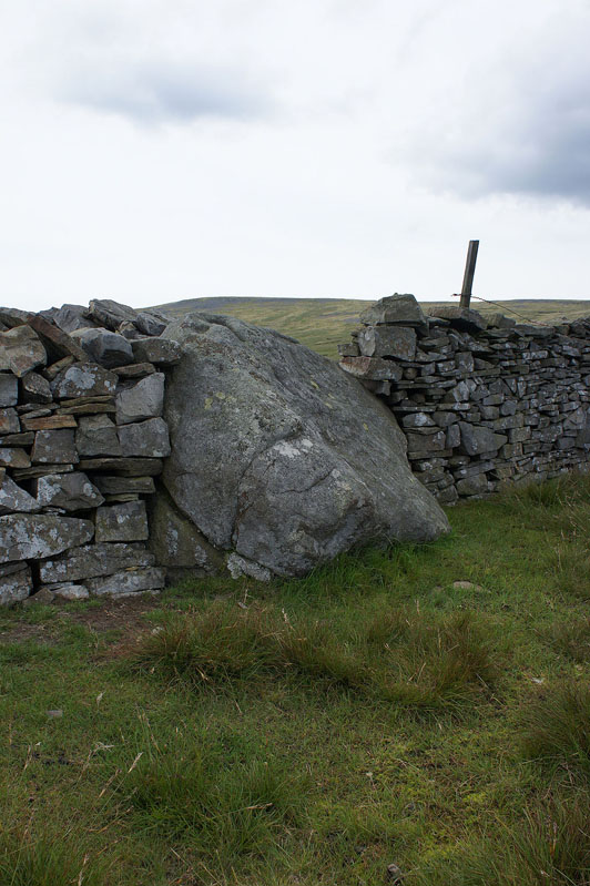
The County Stone. Up until 1974 this marked the point where Lancashire, Westmorland and the West Riding of Yorkshire met.
A gentle ascent of Green Hill
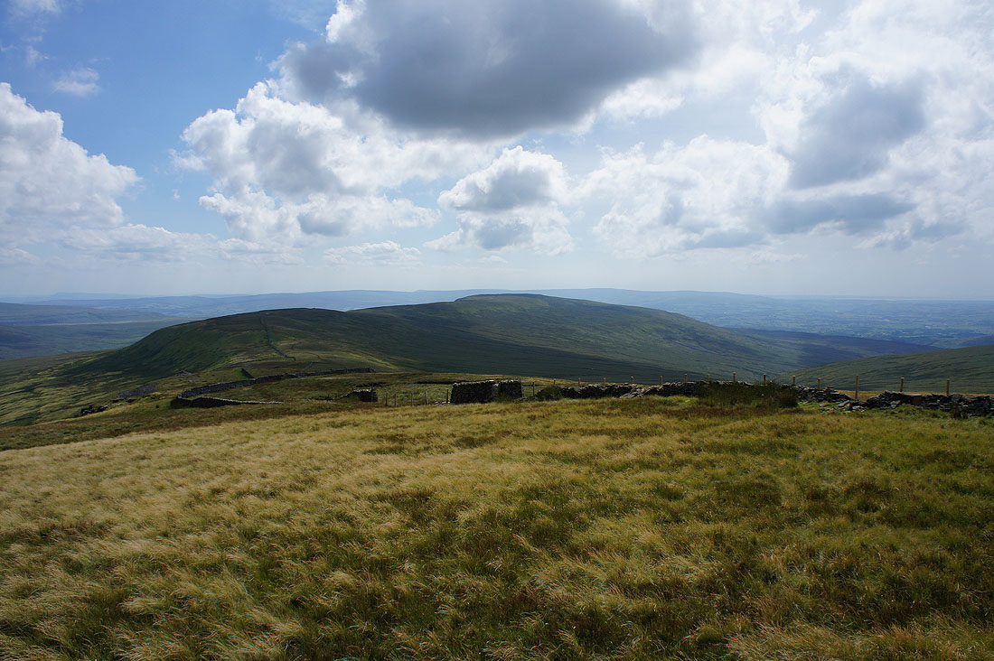
Crag Hill and Great Coum from Green Hill
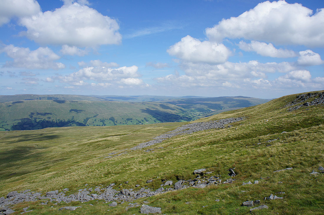
The valley of Ease Gill below
Ingleborough beyond the south ridge of Whernside and Kingsdale
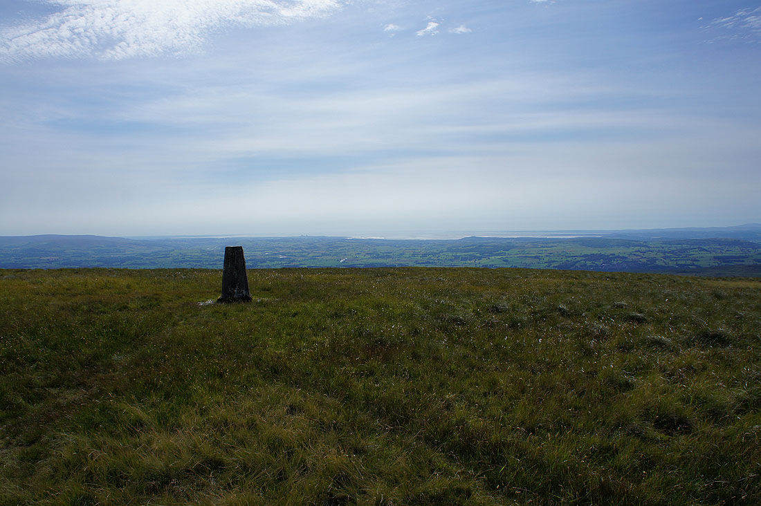
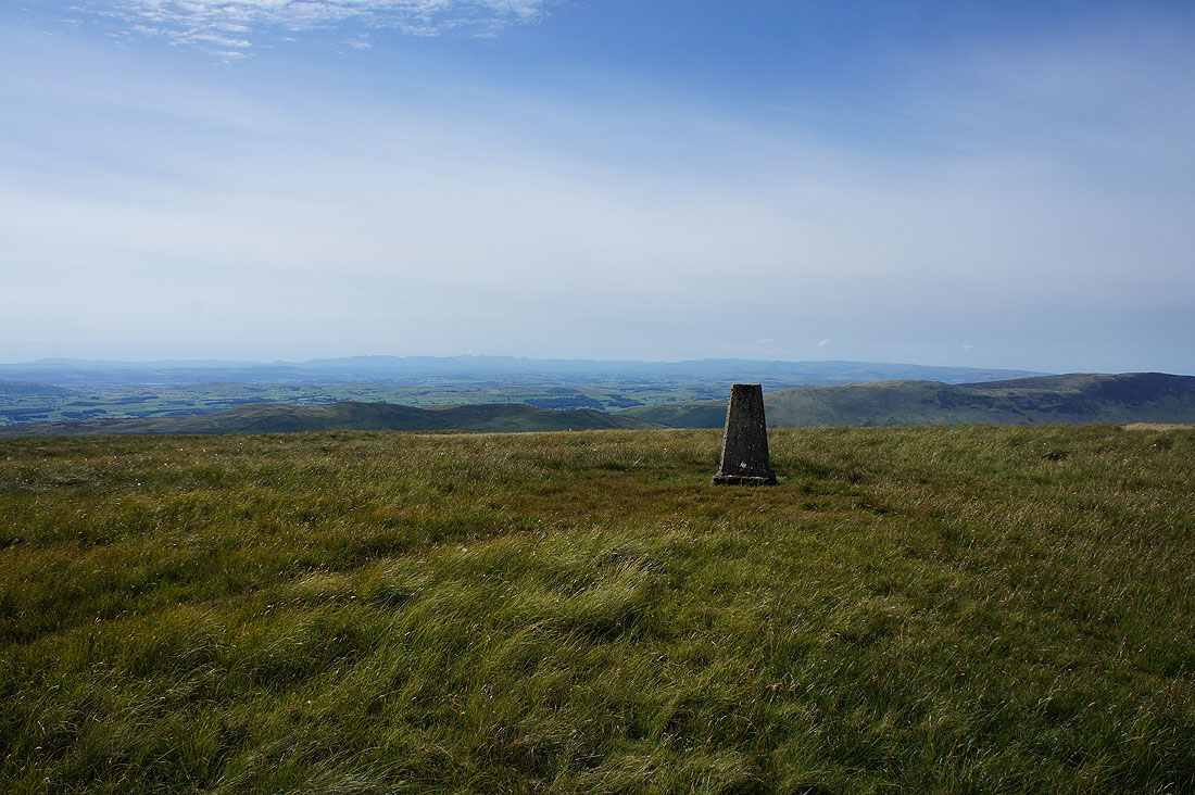
The best weather of the day as I arrive on the summit of Gragareth. The cloud has melted away, there's great visibility and the sun is glinting off Morecambe Bay to the southwest.
The Lake District fells to the northwest
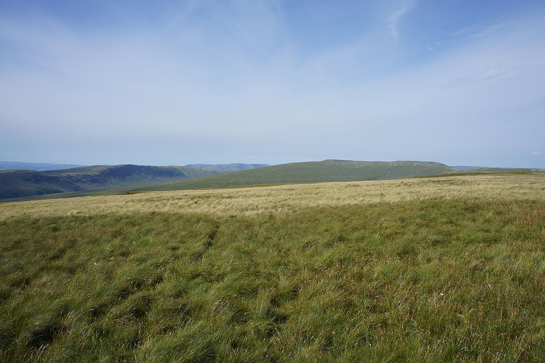
Middleton Fell, the Howgills, Crag Hill and Great Coum
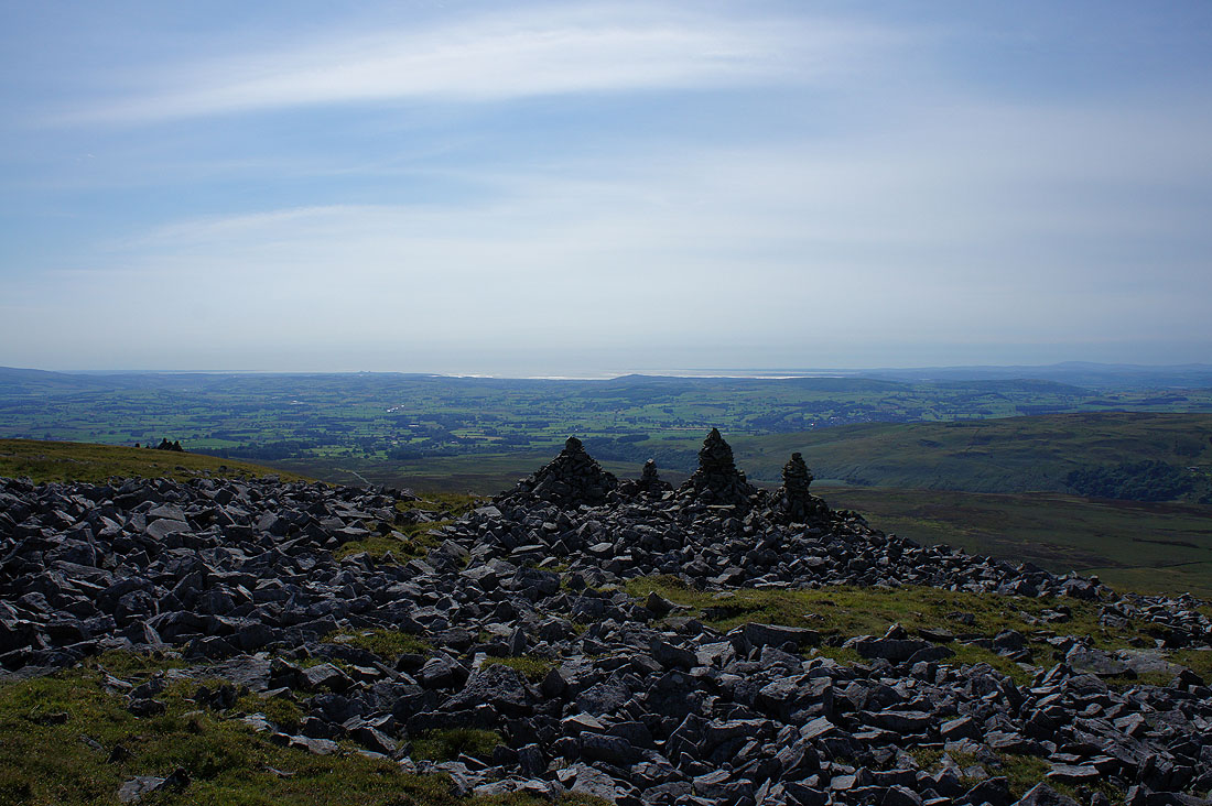
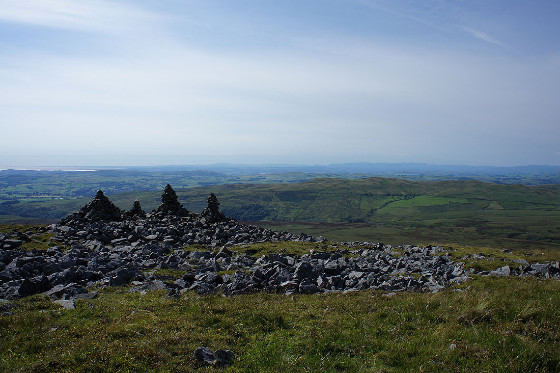
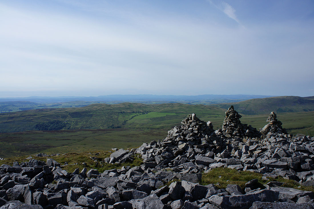
On my way down from Gragareth and the last stop of the day at the "Three Men of Gragareth". What a view! I could have stayed here and took it in for a lot longer. Morecambe Bay and Lunesdale.
The Lake District fells..
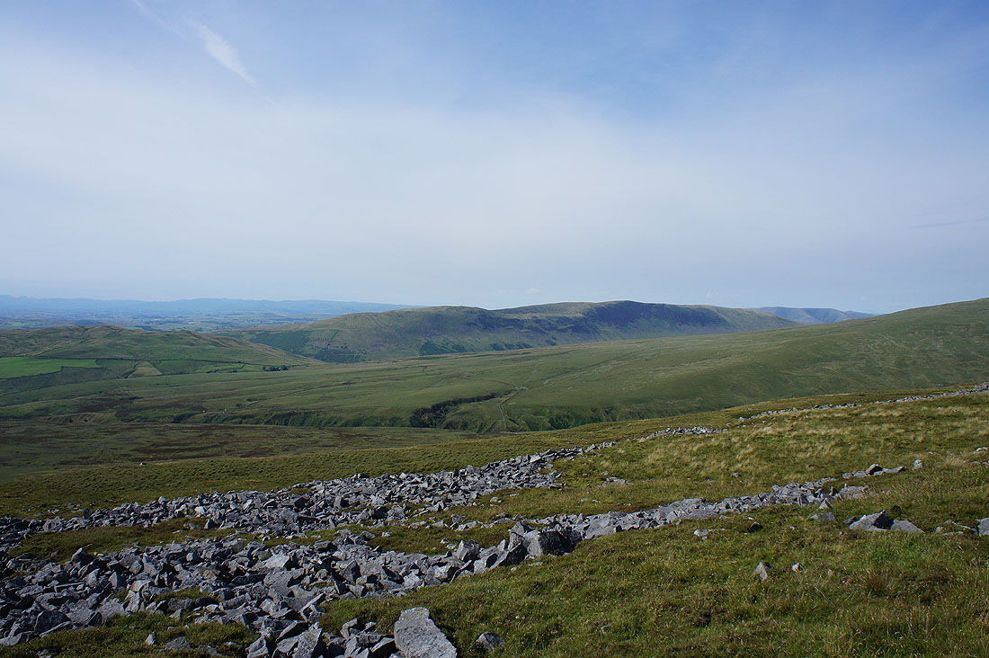
Middleton Fell and the slopes of Crag Hill rise on the other side of Ease Gill
The Forest of Bowland with its highest summit Ward's Stone above the cairn
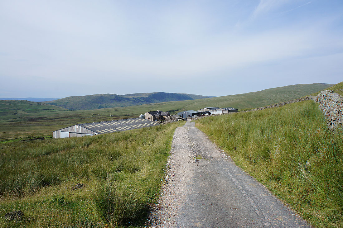
Leck Fell House. At 400m above sea level it must get pretty bleak at times.
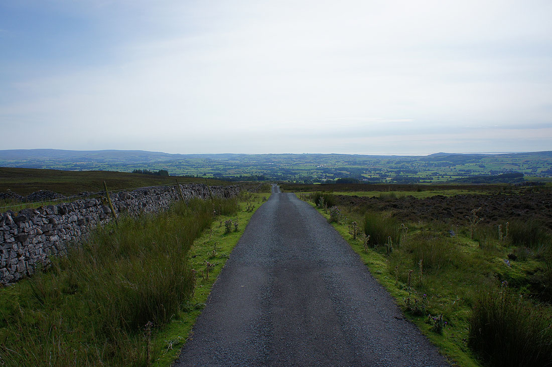
A long walk down to Cowan Bridge to come. Fortunately it's downhill all the way and I'll keep these great views for most of the way..
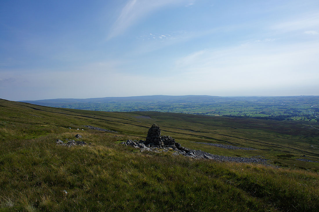
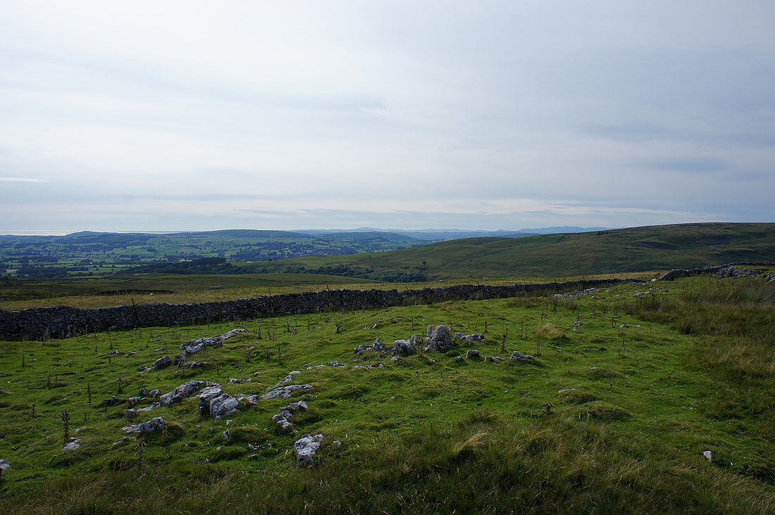
A last look back to the slopes of Gragareth and I can still make out the cairns
Back in Cowan Bridge
