8th August 2019 - Pendle Hill
Walk Details
Distance walked: 7.0 miles
Total ascent: 1012 ft
OS map used: OL41 - Forest of Bowland & Ribblesdale
Time taken: 3 hrs
Route description: Nick of Pendle-Pendleton Moor-Ogden Clough-Pendle Hill-Downham Moor-Worston Moor-Scout Cairn-Mearley Moor-Pendleton Moor-Nick of Pendle
After a beautiful summer's day I couldn't resist heading out for a walk after getting home from work. I'd already decided that I was going to go up Pendle Hill from the Nick of Pendle, and with no time to waste I was out the door again as soon as I'd gotten changed and made myself some tea to bring with me. It was a lovely evening with fantastic views to distant hills to enjoy, though increasing high cloud made the sunshine hazy and stopped me seeing any sunset.
From my starting point at one of the laybys on the road across the Nick of Pendle I made my way up onto Pendleton Moor. I kept on the path as it made its way into Ogden Clough and followed it all the way up to the trig point and summit. I then crossed the stile onto Downham Moor, followed the path west, and crossed the stile onto Worston Moor to reach the Scout Cairn. I then walked across Mearley Moor before crossing the top of Howcroft Brook to pick up the path across Pendleton Moor back to the Nick of Pendle.
Route map
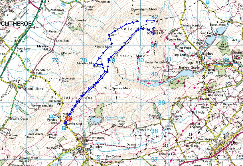
© Crown copyright. All rights reserved. License number PU 100034184.
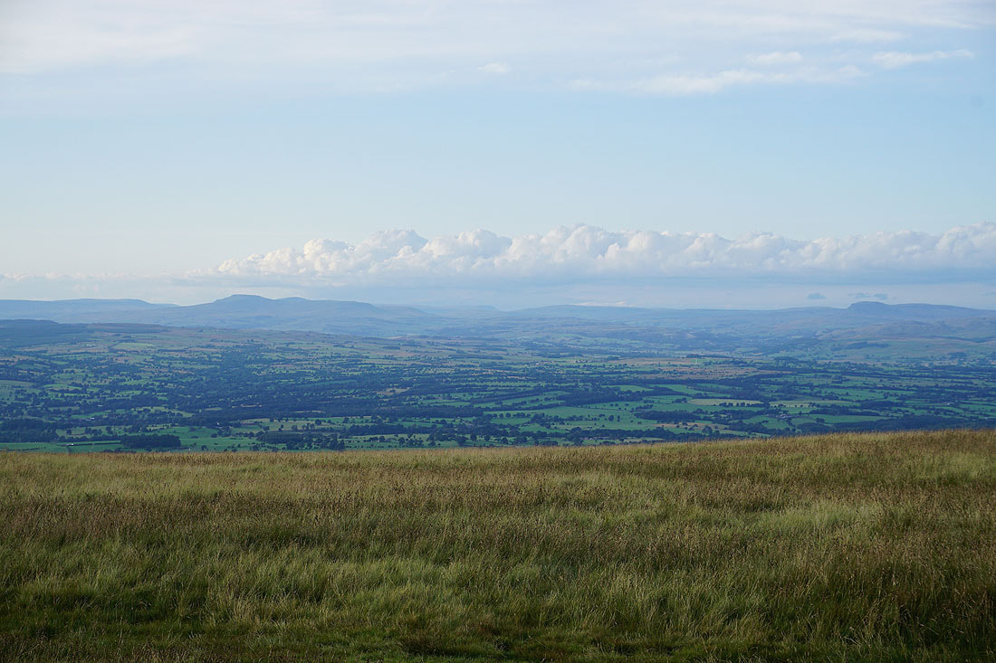
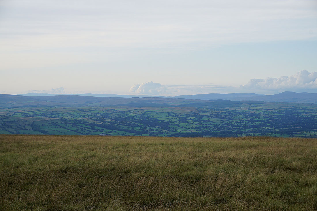
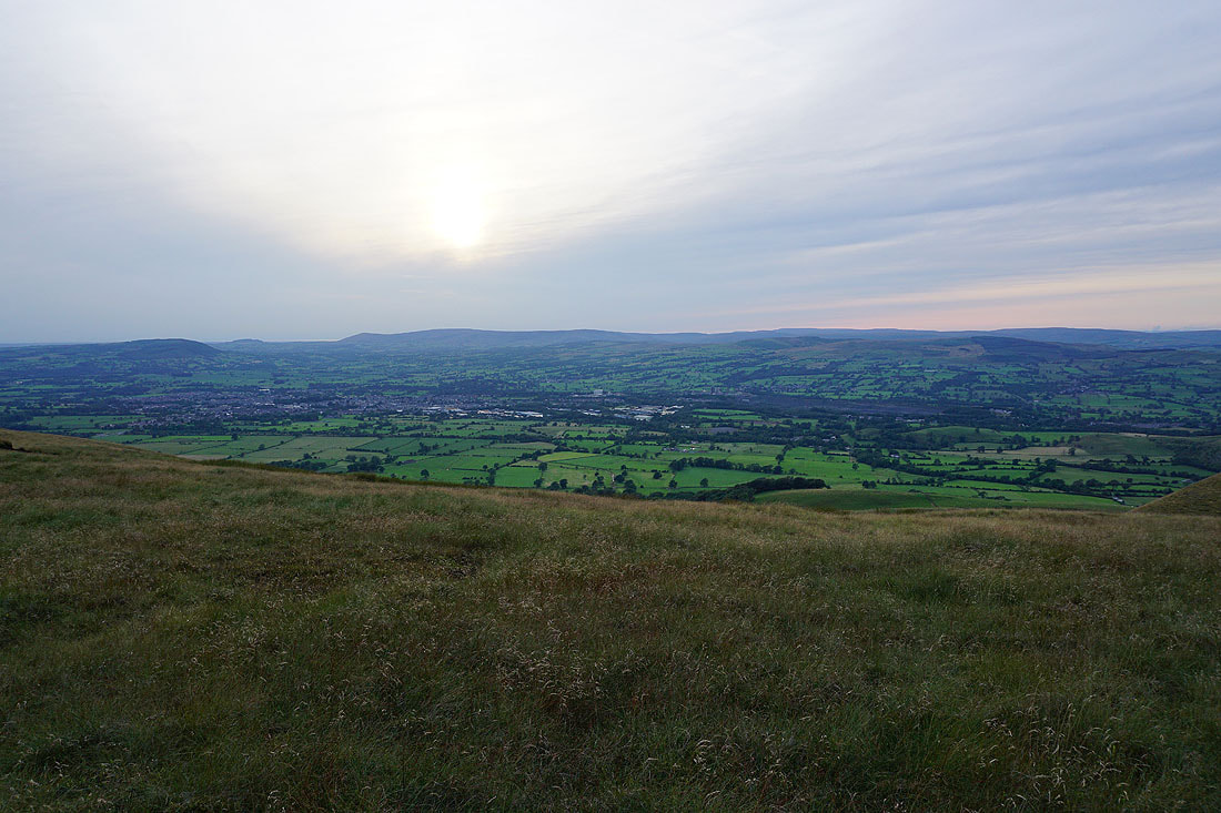
A fantastic view to start with. Looking up the Ribble Valley to a distant Ingleborough.
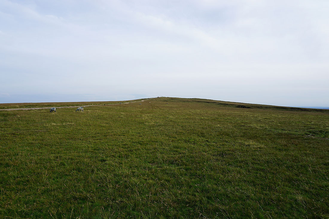
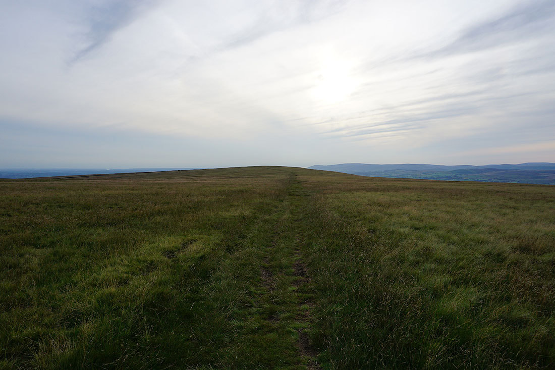
Following the path up onto Pendleton Moor
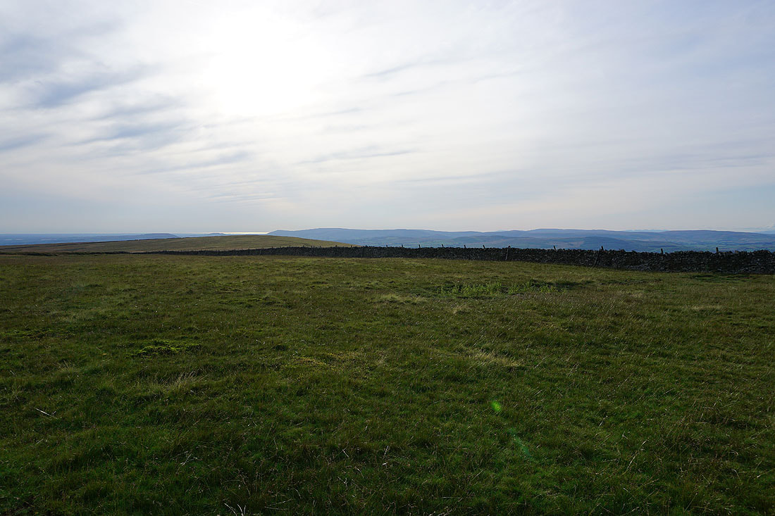
Looking back to the Nick of Pendle and the moorland of The Rough
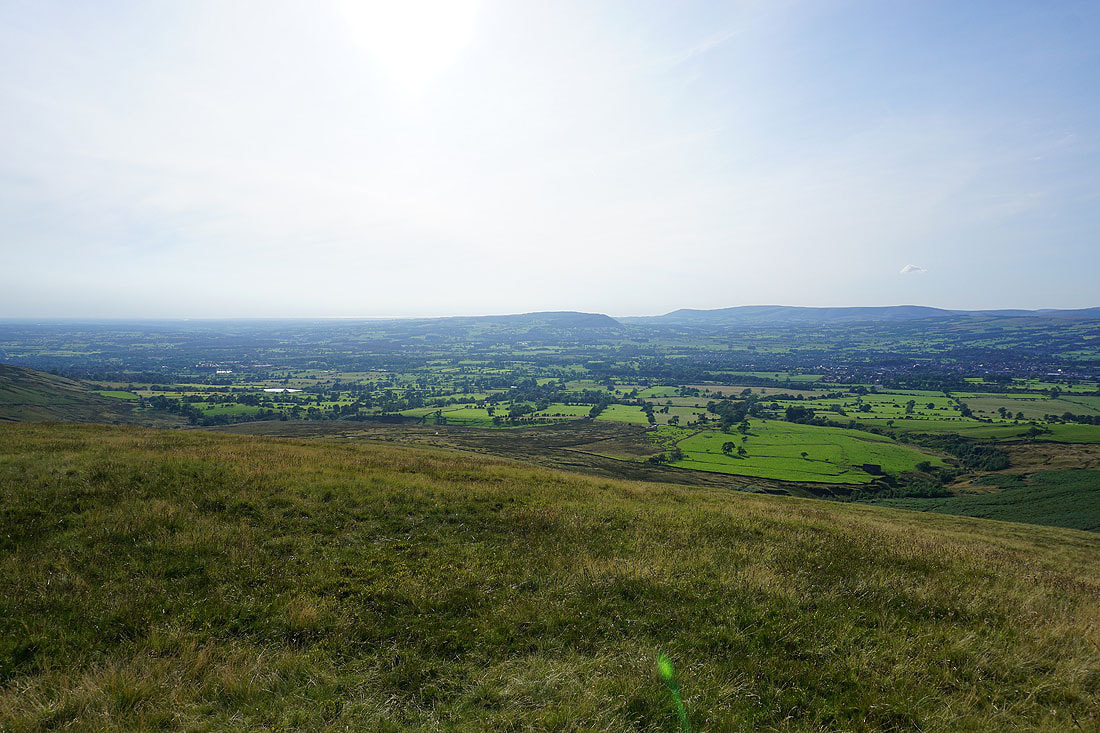
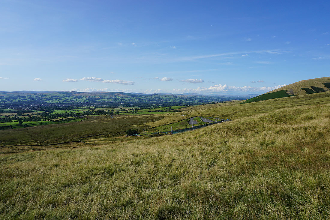
The Ribble Valley, Longridge Fell, Parlick, Fair Snape Fell, Totridge and Clitheroe
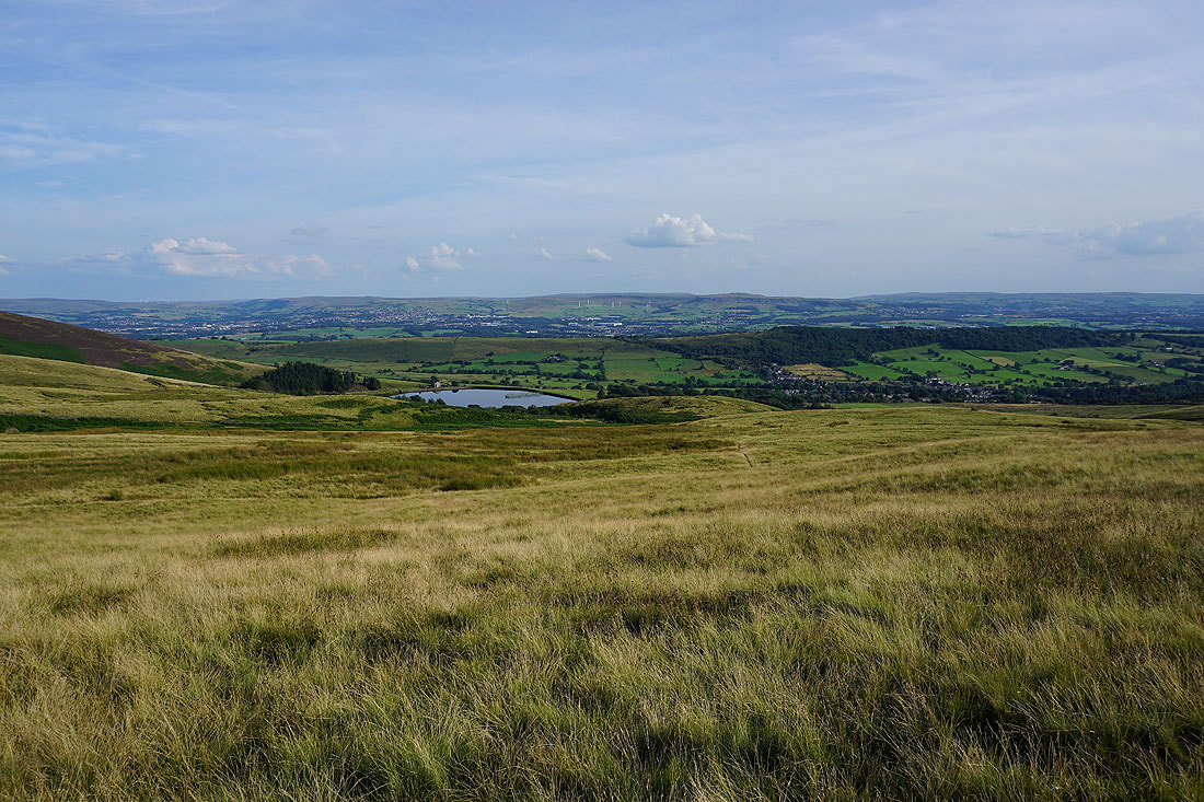
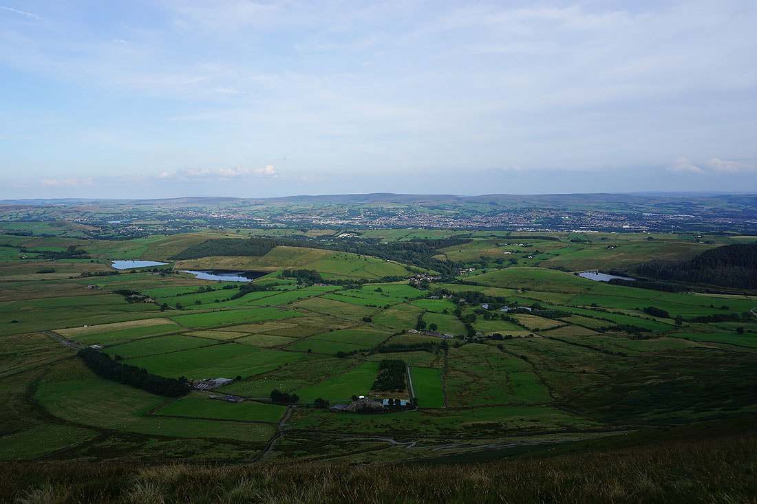
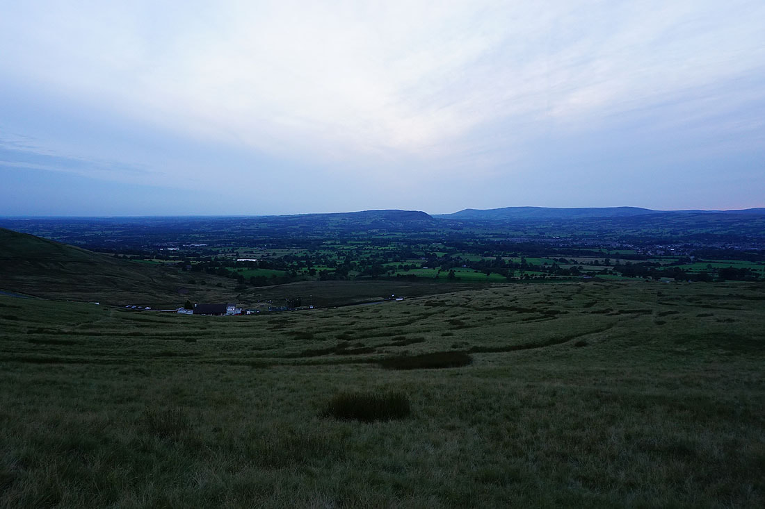
Churn Clough Reservoir and Sabden in the valley below
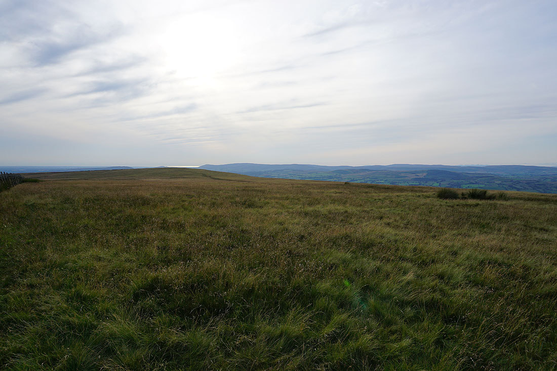
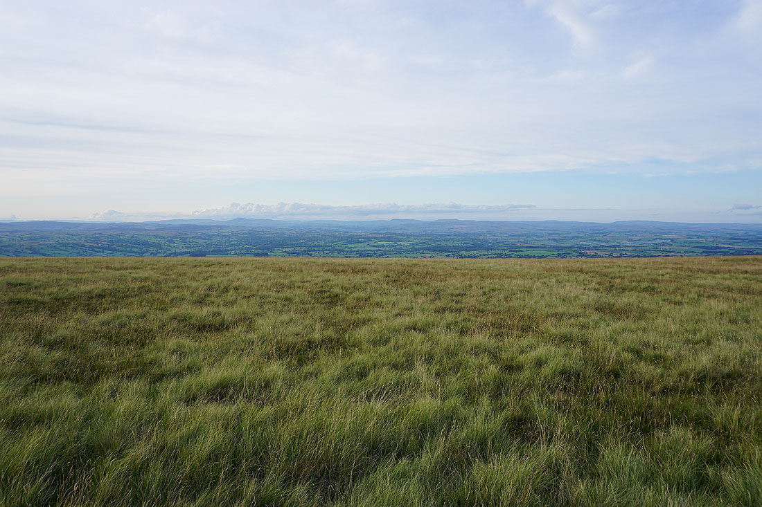
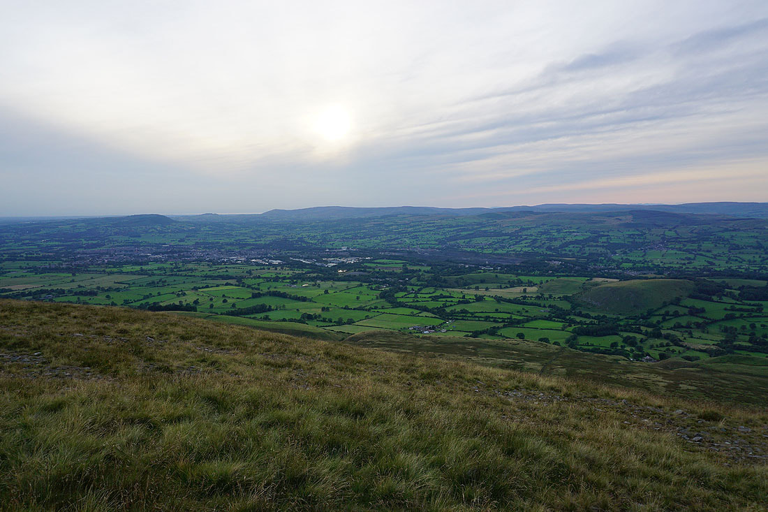
Looking west along the Ribble Valley towards the coast
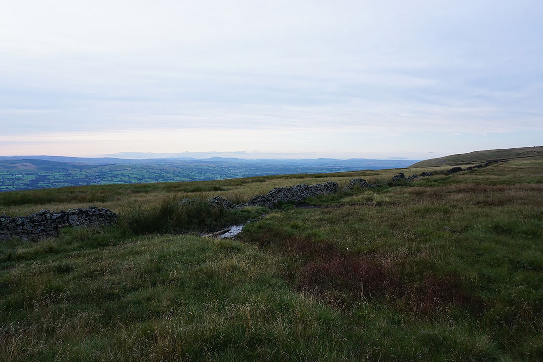
Mearley Moor
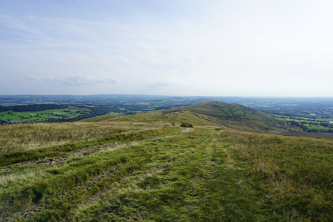
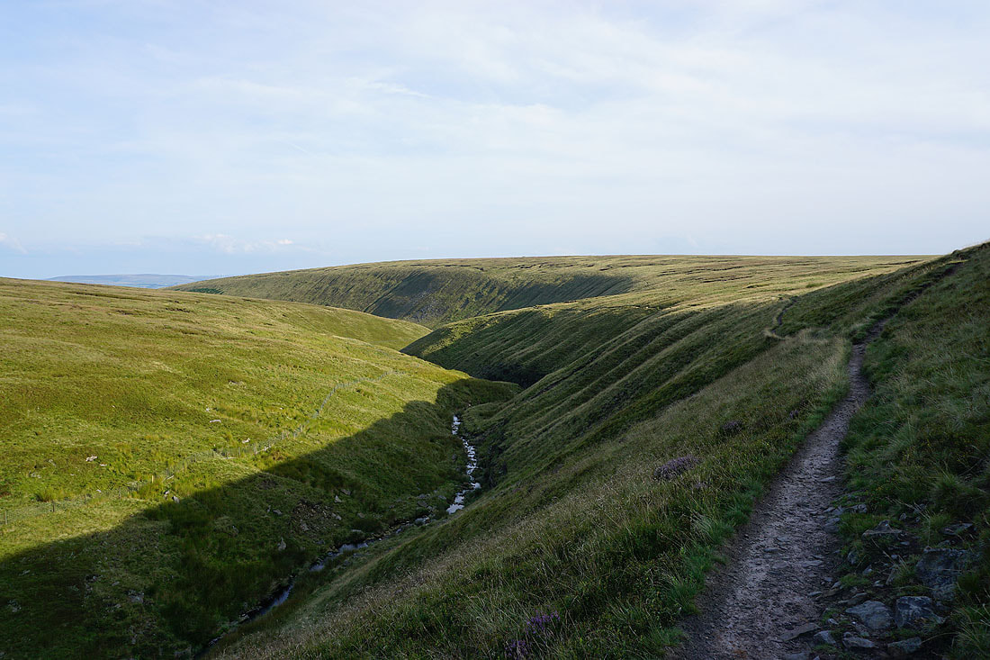
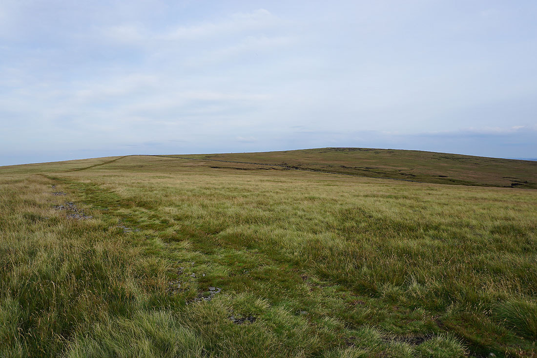
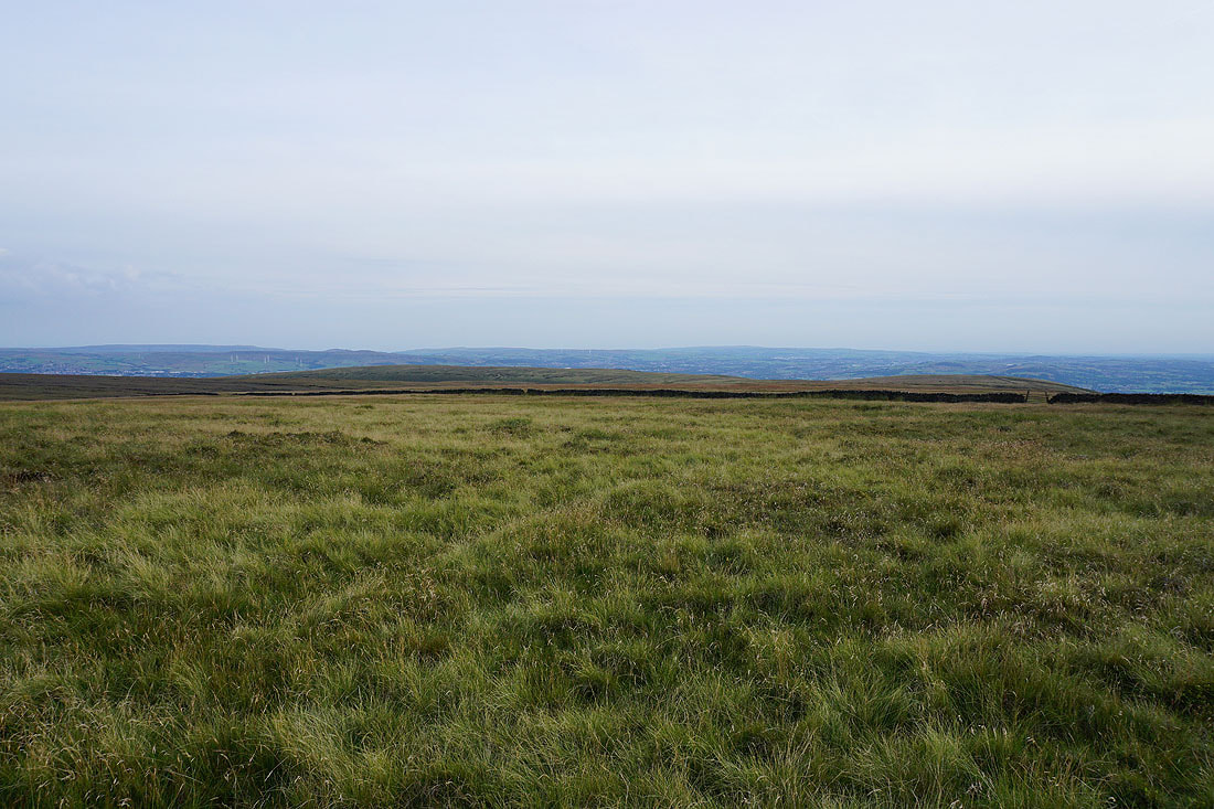
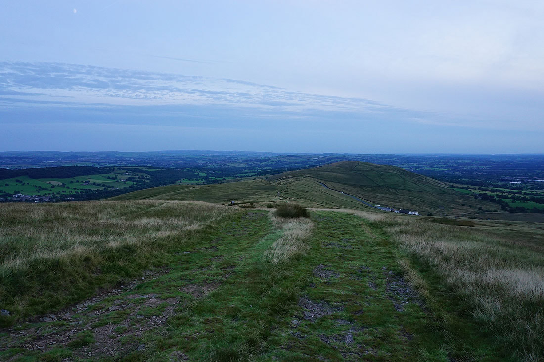
Ogden Clough and the summit of Pendle Hill
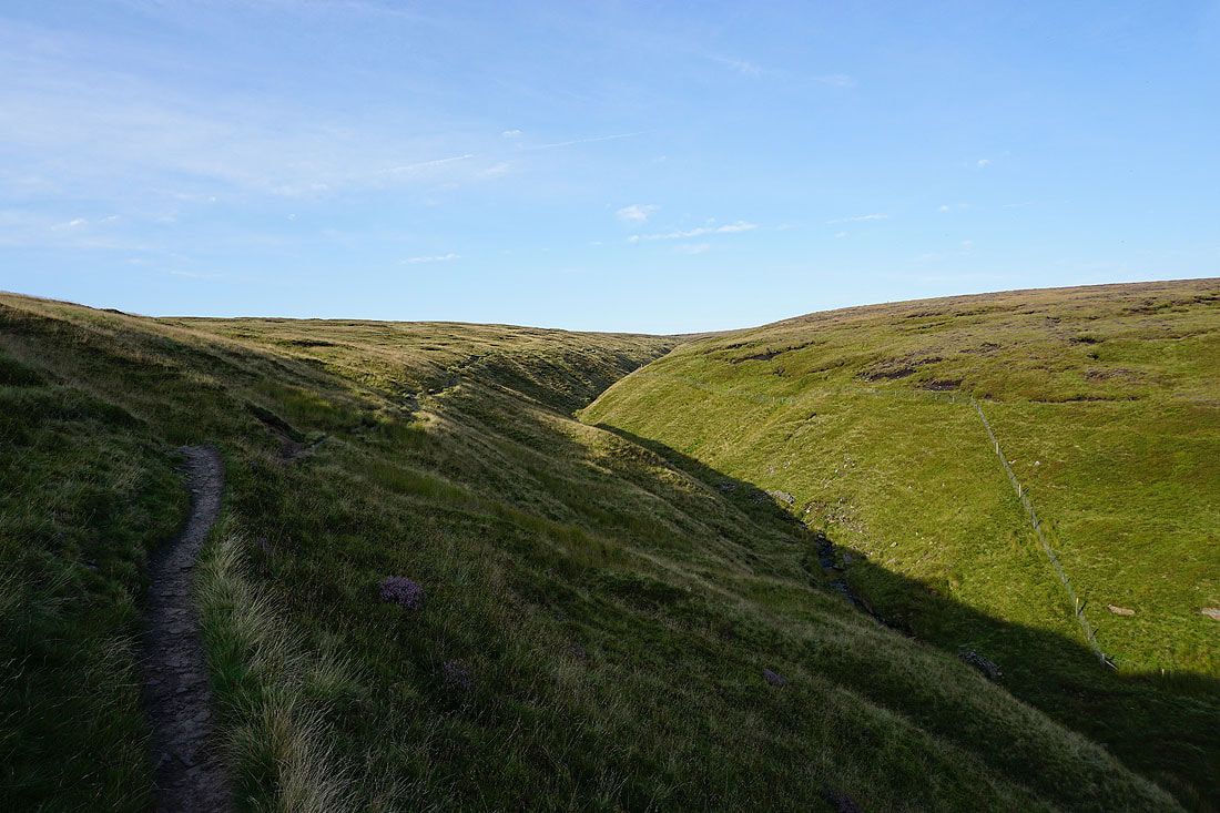
Following the path up Ogden Clough
Looking back down Ogden Clough to Spence Moor
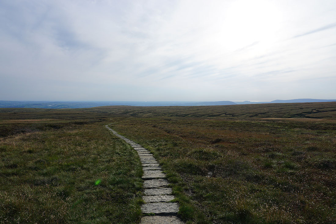
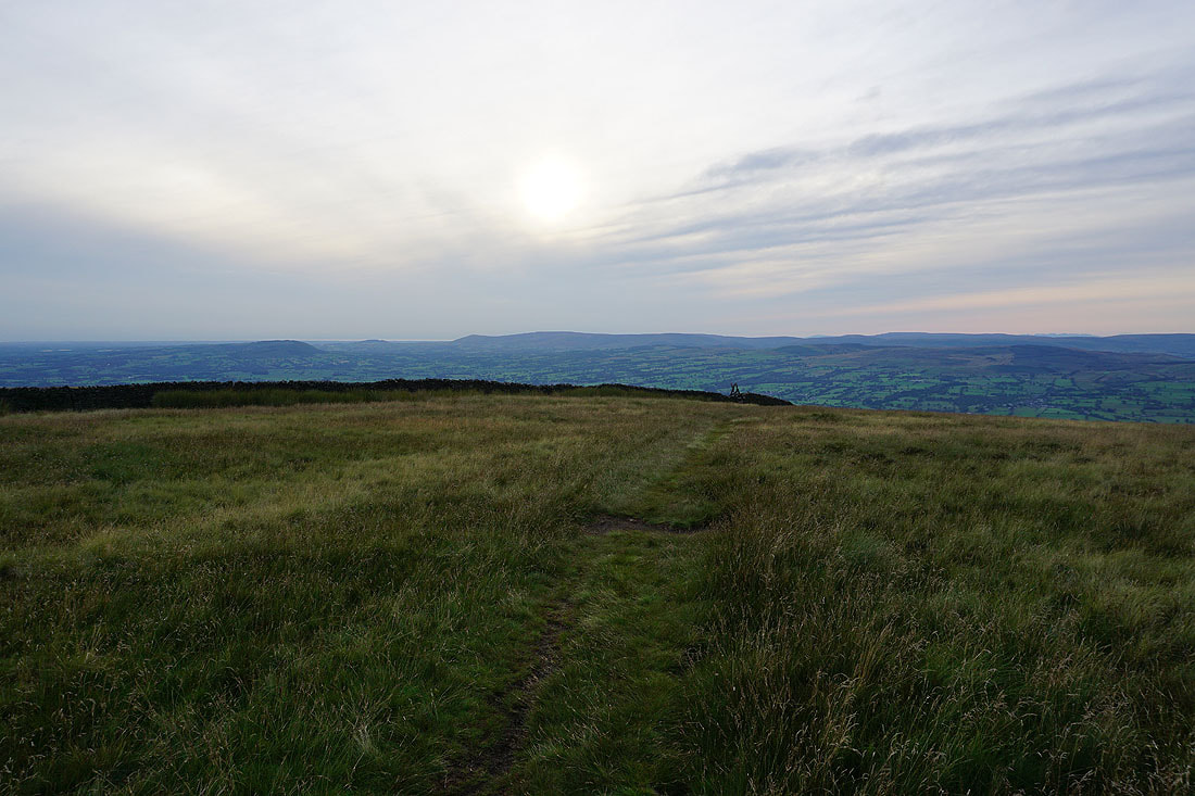
Out of Ogden Clough and on the flagged path to the summit. Looking back to the Ribble Valley with the sun shining on the Irish Sea in the distance.
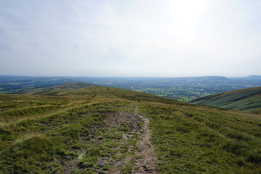
The fells of the Forest of Bowland and Ingleborough beyond Downham Moor
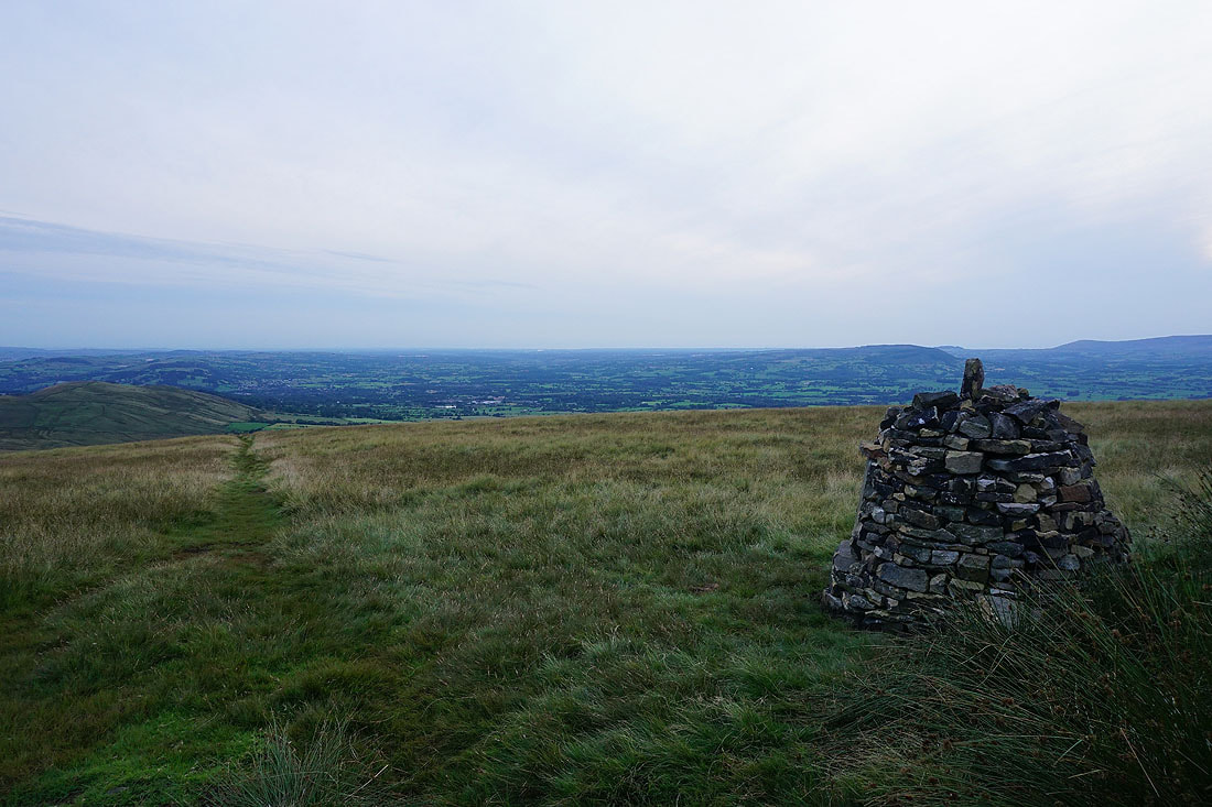
On the summit of Pendle Hill. The Black Moss Reservoirs, Barley and Lower Ogden Reservoir below with Boulsworth Hill and the South Pennines in the distance.
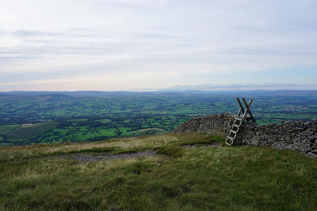
Looking across Downham Moor to the Forest of Bowland..
The summit and trig point as I sit in the new shelter and have my tea
After crossing the wall onto Downham Moor I'm treated to great views to the Forest of Bowland and the Yorkshire Dales..
Zooming in to Ingleborough on the left and Penyghent on the right
The jagged outline of the Lake District fells beyond the Bowland fells of White Hill and Great Harlow
Buckden Pike, Great Whernside and Barden Moor in the distance with Weets Hill closer on the right
Another photo of that view to the north
Zooming in on the Bowland fells of Great Harlow and Bowland Knotts. The high, distant peak on the left is Helvellyn.
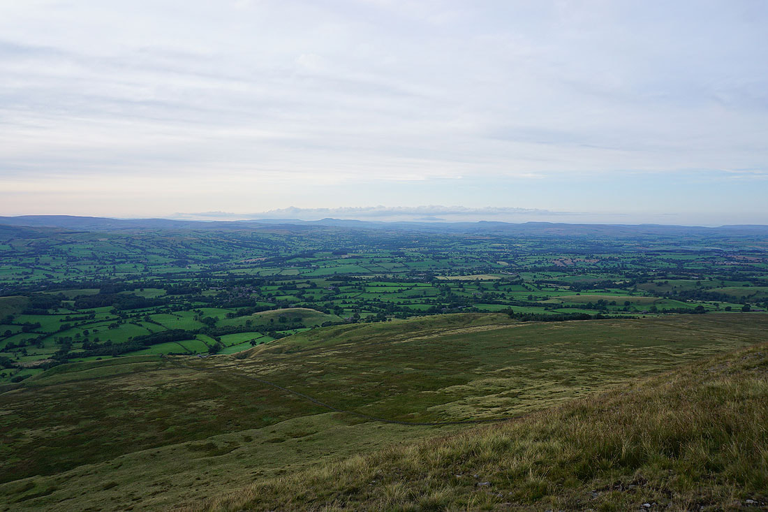
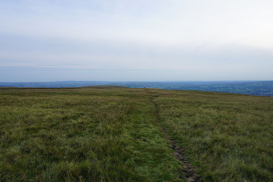
Heading west across Downham Moor
Ingleborough, Penyghent, Buckden Pike and Great Whernside in the Yorkshire Dales
Looking back to the summit
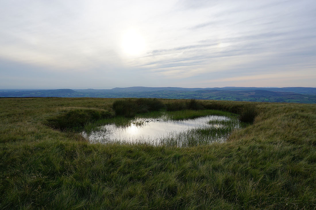
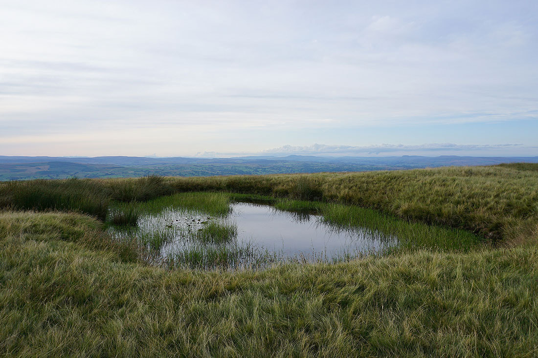
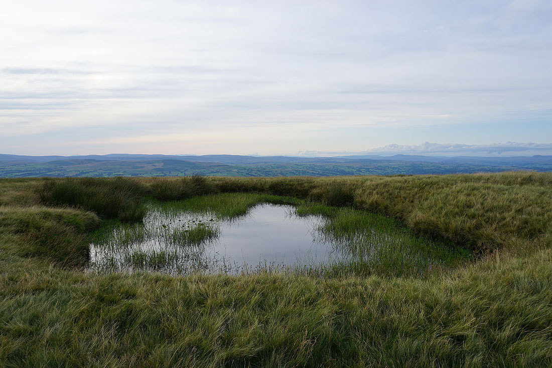
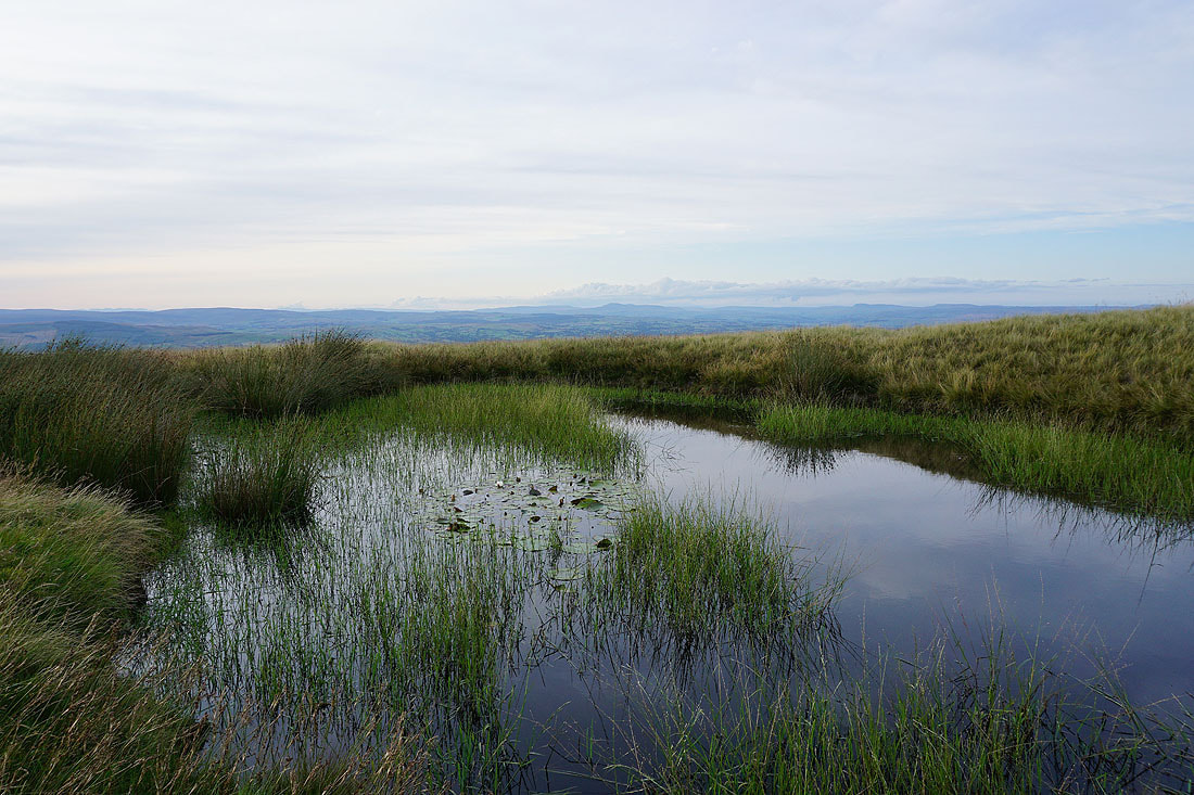
The pool on Downham Moor makes a great subject for a few photos....
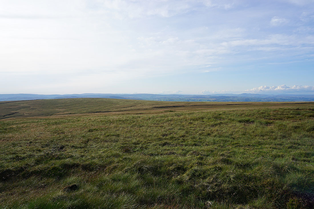
The West Pennine Moors in the distance beyond Spence Moor
The Forest of Bowland ahead as I make my way to the stile over the wall onto Worston Moor
The Ribble Valley below with Ingleborough and Penyghent in the distance from the stile
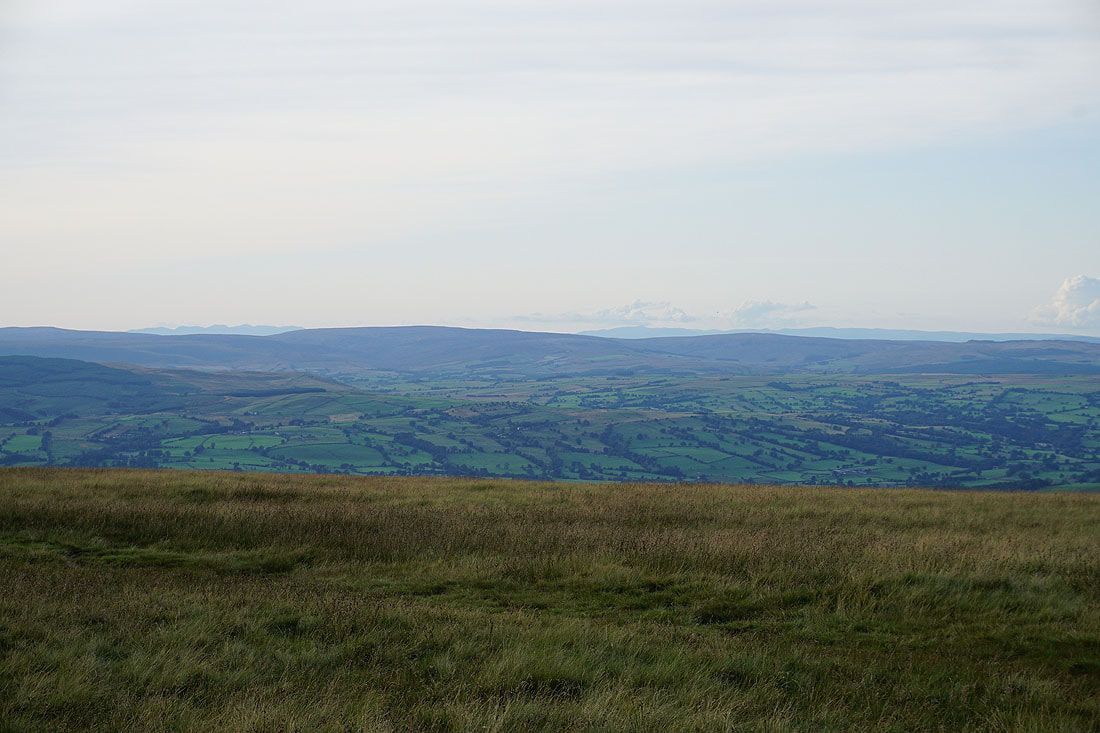
Looking up the Ribble Valley to Ingleborough and Penyghent from the edge of Worston Moor
The Forest of Bowland with Clitheroe in the Ribble Valley below
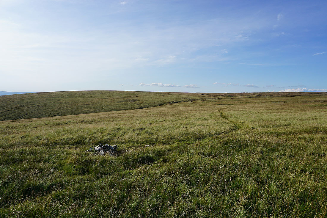
Heading across Worston Moor to the Scout Cairn..
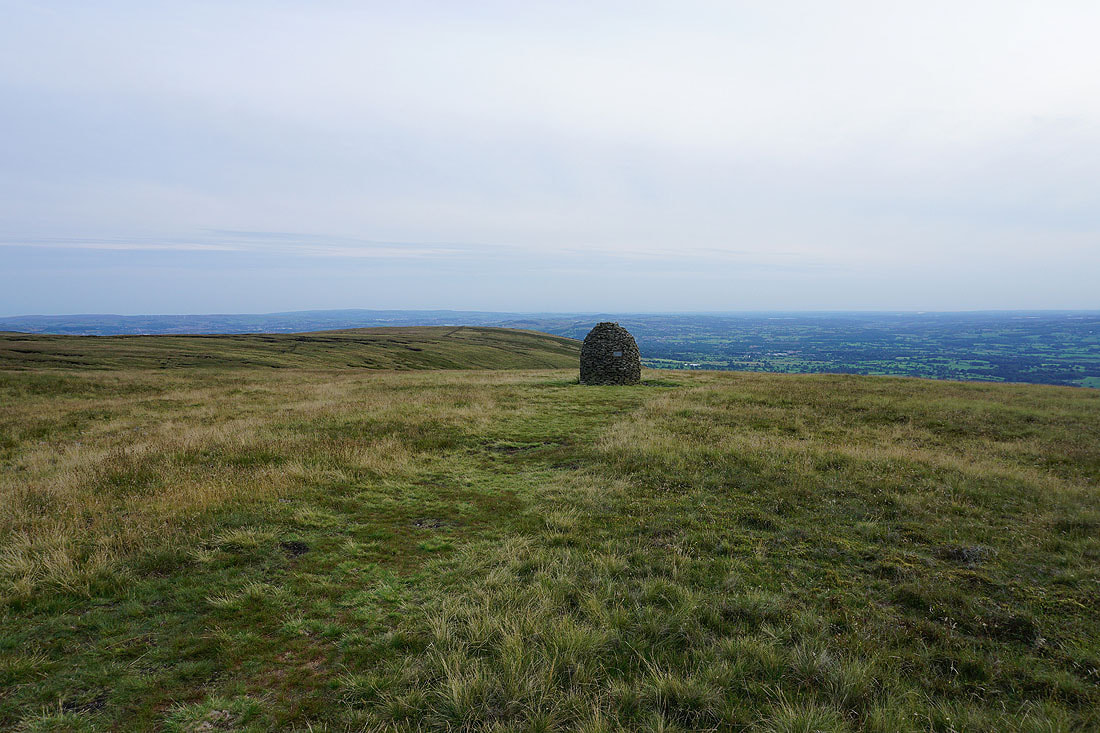
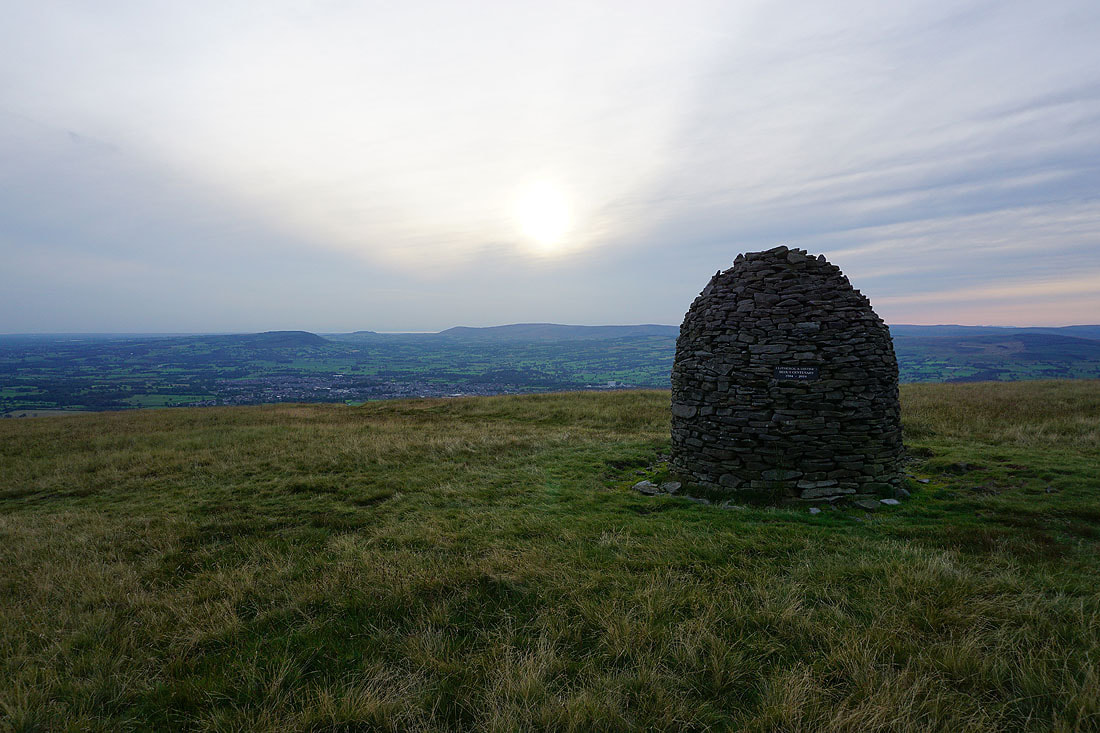
The Ribble Valley, Clitheroe and the Forest of Bowland from the Scout Cairn..
Looking up the Ribble Valley to Ingleborough and Penyghent from Mearley Moor
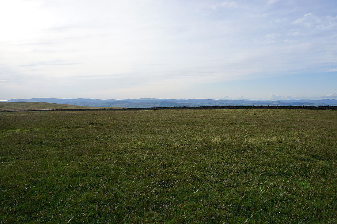
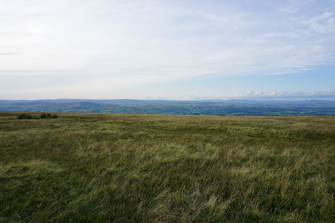
The Forest of Bowland and the Ribble Valley as I reach the western end of Mearley Moor..
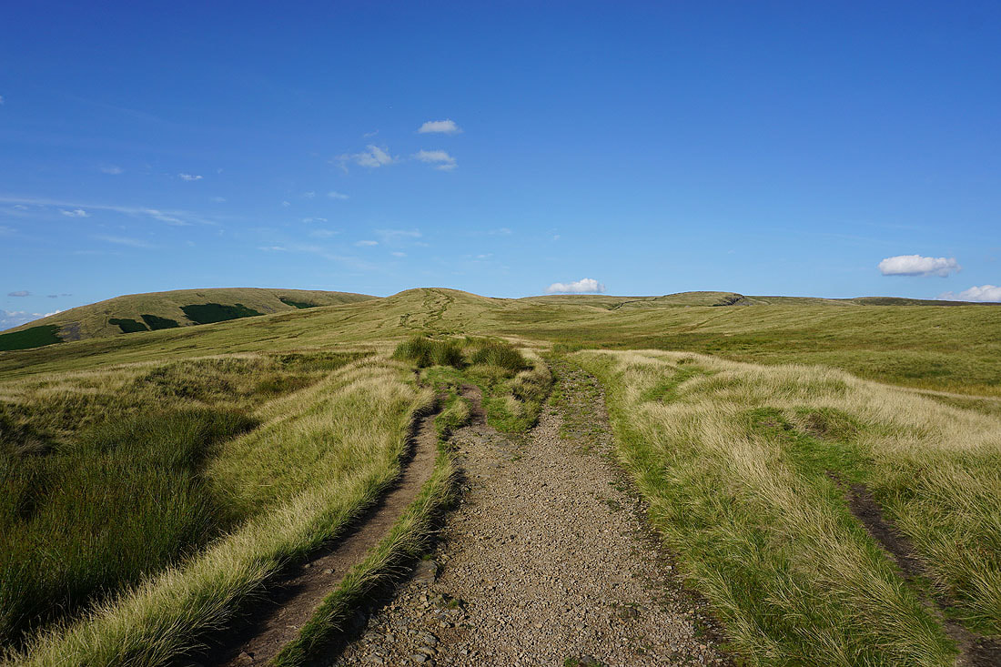
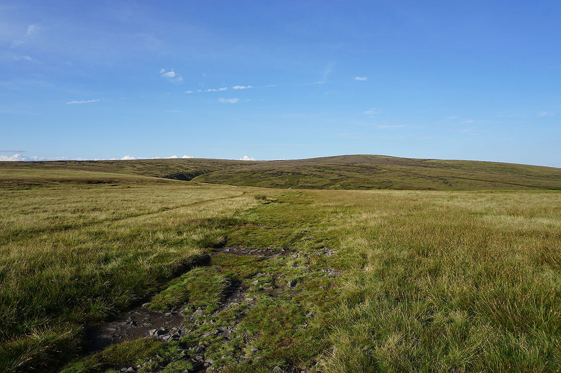
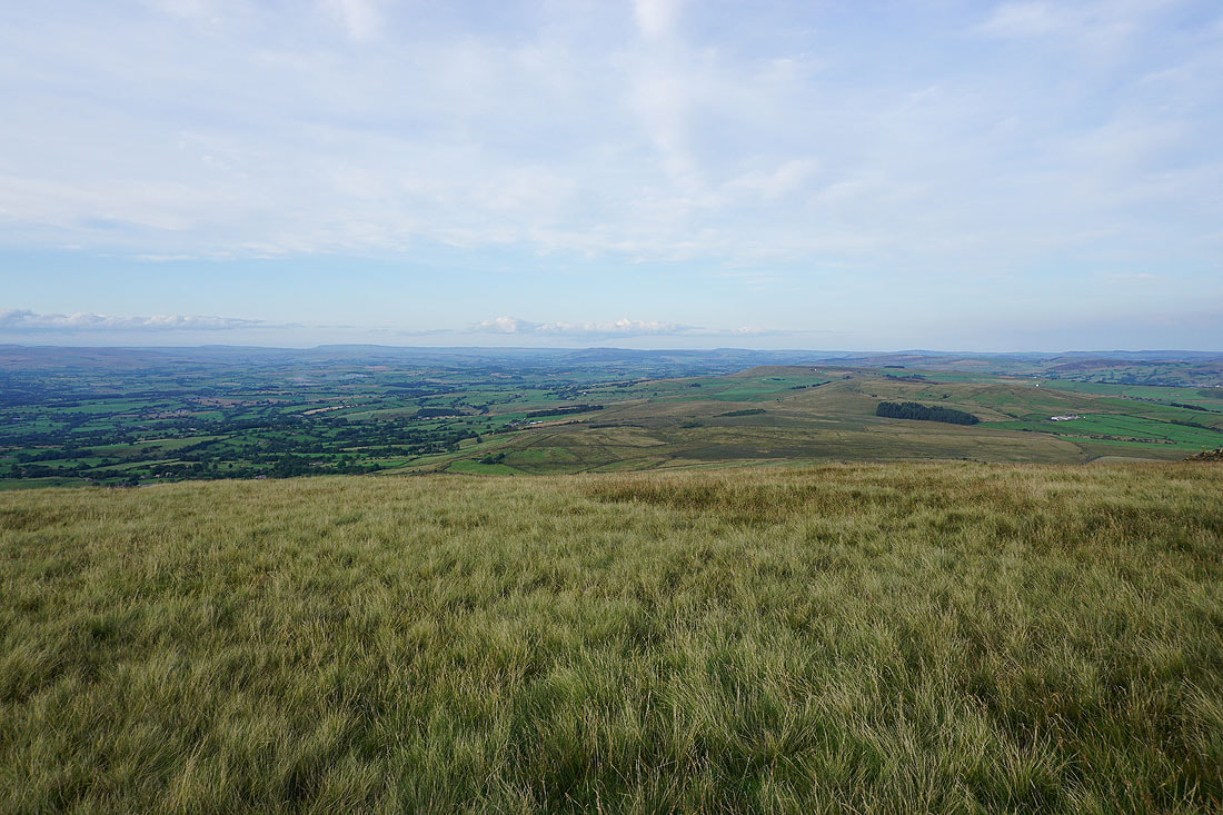
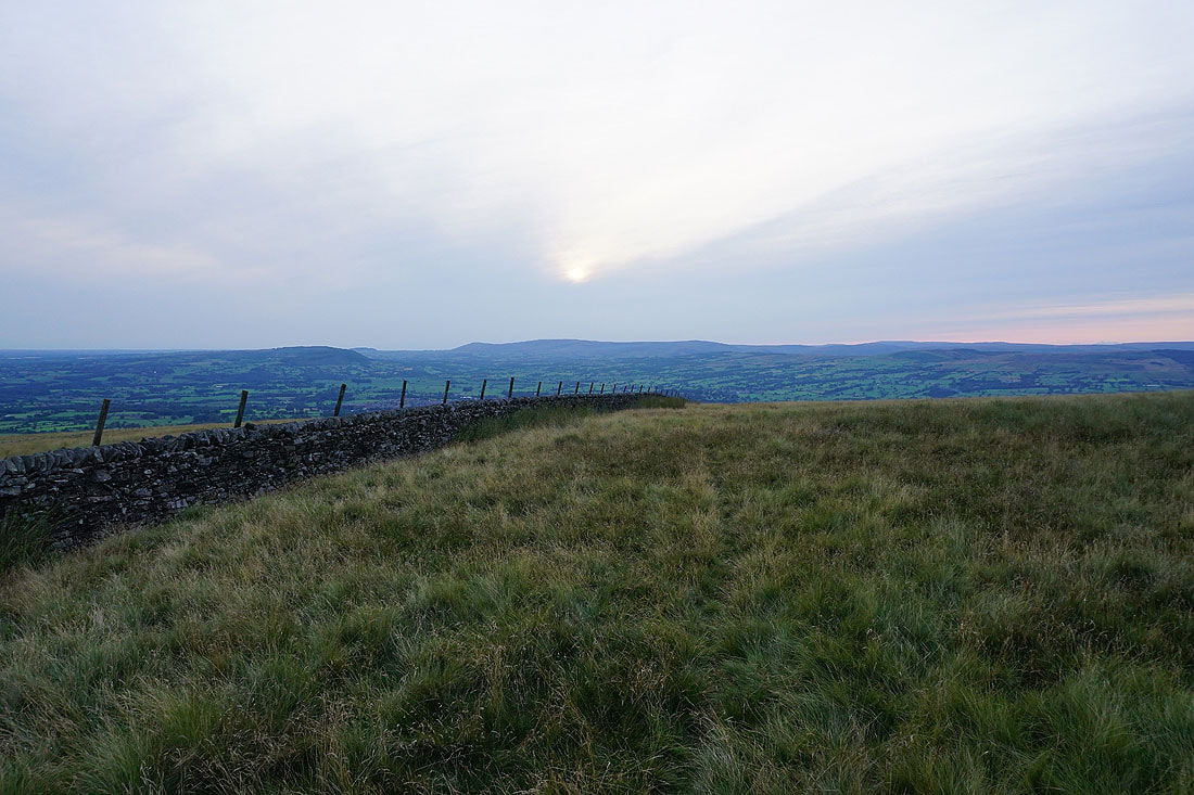
Heading across Pendleton Moor back to the Nick of Pendle
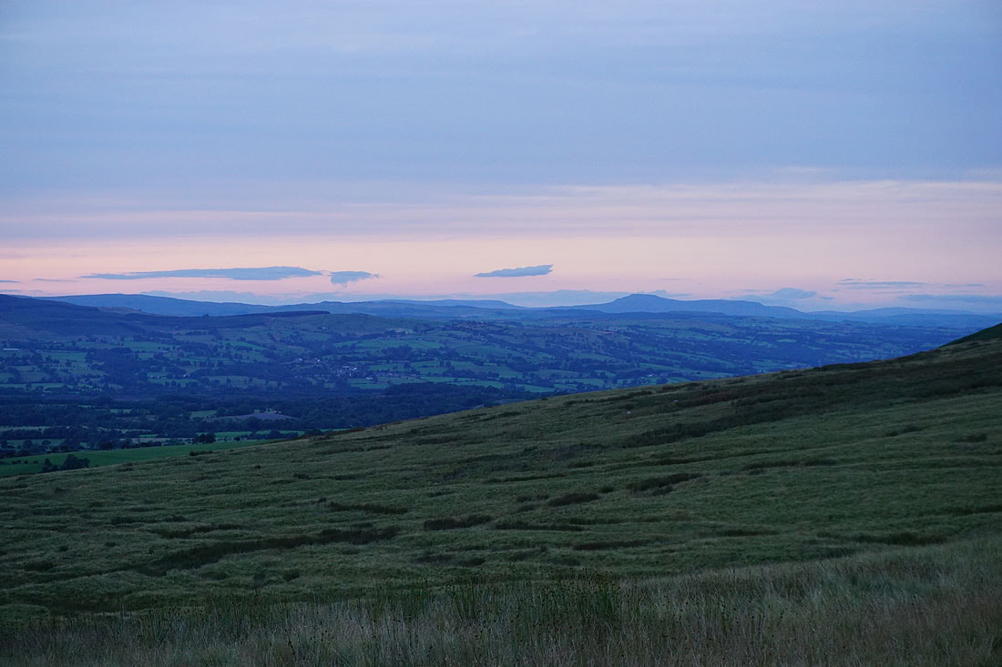
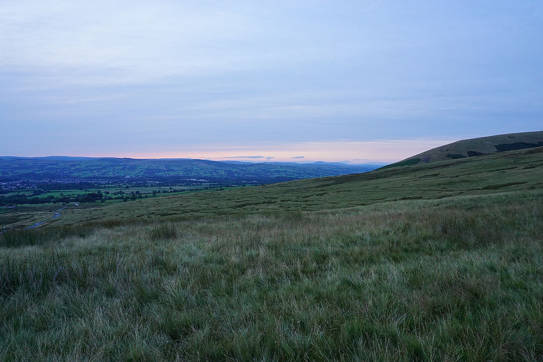
Fading light over the Ribble Valley
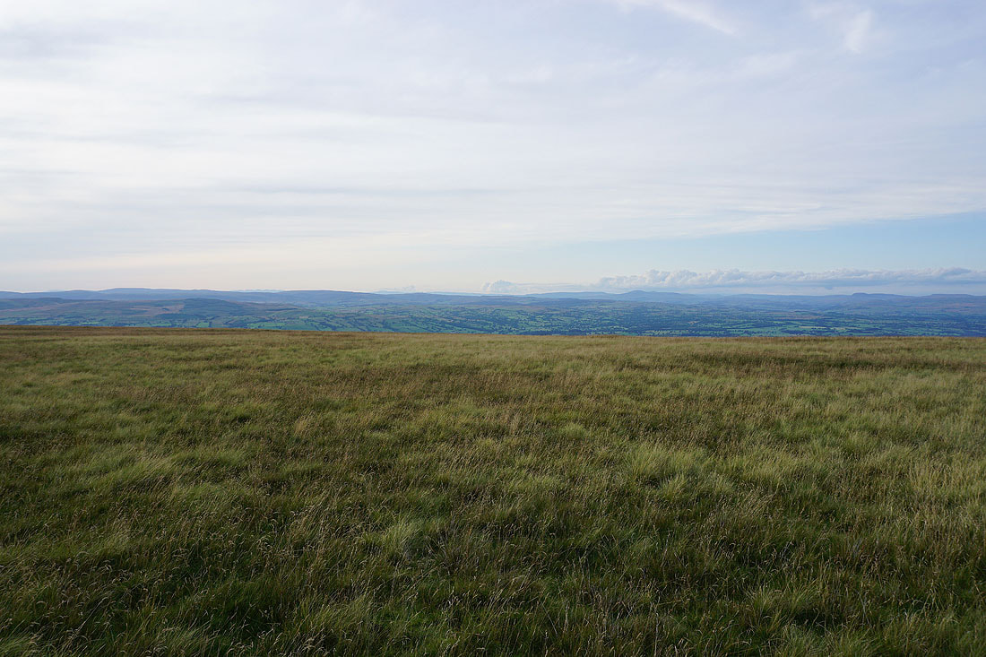
Looking up the Ribble Valley to Ingleborough to finish with..