8th August 2020 - Addlebrough and Raydale
Walk Details
Distance walked: 16.1 miles
Total ascent: 2768 ft
OS map used: OL30 - Yorkshire Dales, Northern & Central areas
Time taken: 7.5 hrs
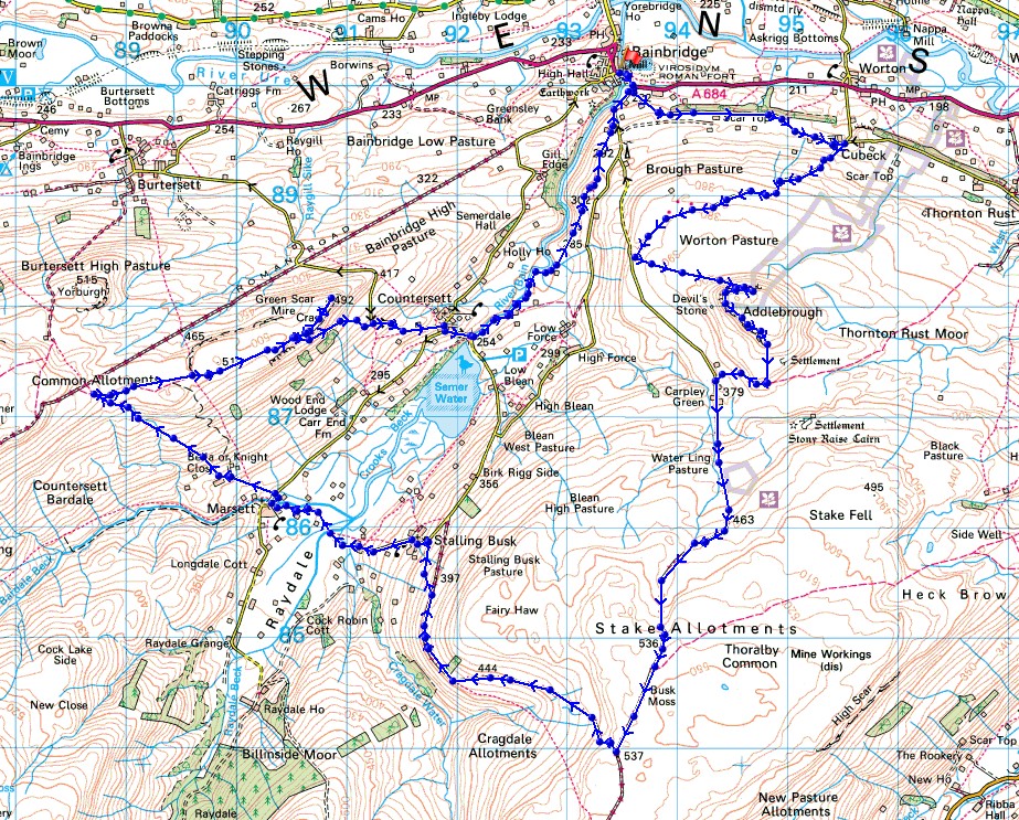
Route description: Bainbridge-Brough Scar-Cubeck-Worton Pasture-Addlebrough-Carpley Green Road-Carpley Green Farm-Busk Lane-High Lane-Bob Lane-Stalling Busk-Busk Lane-Marsett-Marsett Bridge-Common Allotments-Crag-Crag Side Road-Semer Water Bridge-River Bain-Bainbridge
After two weekends of decidedly changeable weather and walks done close to home, I've ventured much further afield today and paid my first visit of the year to Wensleydale. I'd decided to do a route that I'd worked out that would take in Addlebrough and the moorland around Raydale, one of the many side valleys of Wensleydale. It was certainly a long walk, and it made the most of what was a lovely summer's day, with lots of warm sunshine and a nice breeze for enjoying the great views from the moors. Before setting off from Bainbridge I enjoyed a socially distanced sausage barm and cup of tea from the Cornmill Tearoom. I had brought a mask with me, but since it was such a lovely morning I could sit outside and didn't need it.
After parking by the village green in Bainbridge, I walked by the A684 across the River Bain and up to the left hand bend in the road where I took the road up to Raydale on the right. I soon left this for a footpath on the left up to Brough Scar and then across fields to the hamlet of Cubeck, from where I followed a byway, then bridleway southwest up to and across Worton Pasture. Just before reaching Carpley Green Road I left the bridleway and made my way up the hillside to the crags on the northern side of Addlebrough, where a breach allowed me to climb up and reach the summit. I then made my way round the western and southwestern sides of Addlebrough before heading south to join the bridleway down to Carpley Green Road and a short walk south to Carpley Green Farm, from where I took the track of Busk Lane up onto Stake Allotments. When I reached the junction of byways on Stake Allotments I turned right and took the track of High Lane down towards Stalling Busk, leaving it for the track of Bob Lane down into the hamlet. From Stalling Busk I then followed the track of Busk Lane across Raydale to the hamlet of Marsett, then briefly walked north along Marsett Lane across Marsett Bridge, before taking a track on the left up to Bella where I took a footpath uphill onto Common Allotments. When I reached the bridleway across Common Allotments I followed it east across the moor to Crag. Just before the bridleway descends to Crag Side Road I left it and made my way to the northeastern end of Crag for its views of Wensleydale, then returned to the bridleway and followed it down to Crag Side Road. I then walked down Crag Side Road towards Countersett and then down the road to Semer Water Bridge, where I took the footpath north by the River Bain to reach the road back down to Bainbridge.
Total ascent: 2768 ft
OS map used: OL30 - Yorkshire Dales, Northern & Central areas
Time taken: 7.5 hrs
Route description: Bainbridge-Brough Scar-Cubeck-Worton Pasture-Addlebrough-Carpley Green Road-Carpley Green Farm-Busk Lane-High Lane-Bob Lane-Stalling Busk-Busk Lane-Marsett-Marsett Bridge-Common Allotments-Crag-Crag Side Road-Semer Water Bridge-River Bain-Bainbridge
After two weekends of decidedly changeable weather and walks done close to home, I've ventured much further afield today and paid my first visit of the year to Wensleydale. I'd decided to do a route that I'd worked out that would take in Addlebrough and the moorland around Raydale, one of the many side valleys of Wensleydale. It was certainly a long walk, and it made the most of what was a lovely summer's day, with lots of warm sunshine and a nice breeze for enjoying the great views from the moors. Before setting off from Bainbridge I enjoyed a socially distanced sausage barm and cup of tea from the Cornmill Tearoom. I had brought a mask with me, but since it was such a lovely morning I could sit outside and didn't need it.
After parking by the village green in Bainbridge, I walked by the A684 across the River Bain and up to the left hand bend in the road where I took the road up to Raydale on the right. I soon left this for a footpath on the left up to Brough Scar and then across fields to the hamlet of Cubeck, from where I followed a byway, then bridleway southwest up to and across Worton Pasture. Just before reaching Carpley Green Road I left the bridleway and made my way up the hillside to the crags on the northern side of Addlebrough, where a breach allowed me to climb up and reach the summit. I then made my way round the western and southwestern sides of Addlebrough before heading south to join the bridleway down to Carpley Green Road and a short walk south to Carpley Green Farm, from where I took the track of Busk Lane up onto Stake Allotments. When I reached the junction of byways on Stake Allotments I turned right and took the track of High Lane down towards Stalling Busk, leaving it for the track of Bob Lane down into the hamlet. From Stalling Busk I then followed the track of Busk Lane across Raydale to the hamlet of Marsett, then briefly walked north along Marsett Lane across Marsett Bridge, before taking a track on the left up to Bella where I took a footpath uphill onto Common Allotments. When I reached the bridleway across Common Allotments I followed it east across the moor to Crag. Just before the bridleway descends to Crag Side Road I left it and made my way to the northeastern end of Crag for its views of Wensleydale, then returned to the bridleway and followed it down to Crag Side Road. I then walked down Crag Side Road towards Countersett and then down the road to Semer Water Bridge, where I took the footpath north by the River Bain to reach the road back down to Bainbridge.
Route map
© Crown copyright. All rights reserved. License number PU 100034184.
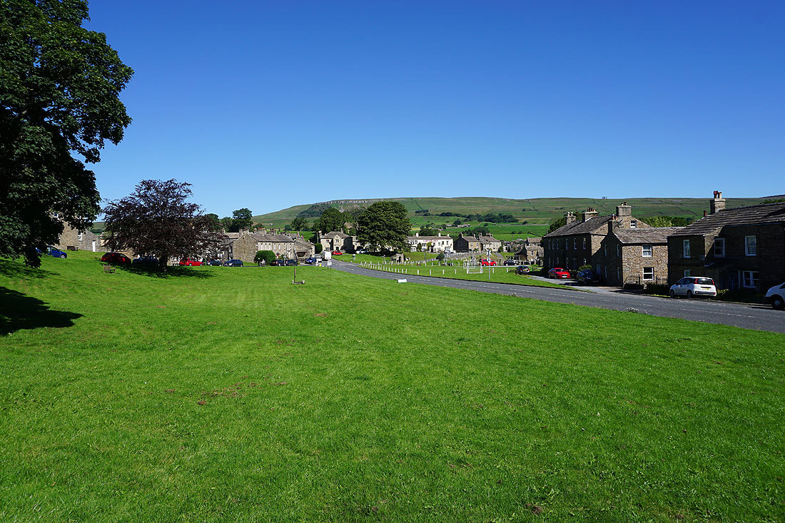
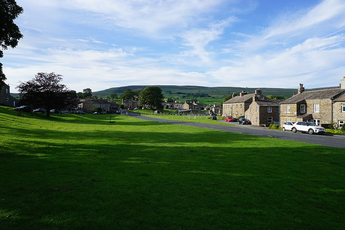
It's a beautiful summer's morning in Bainbridge
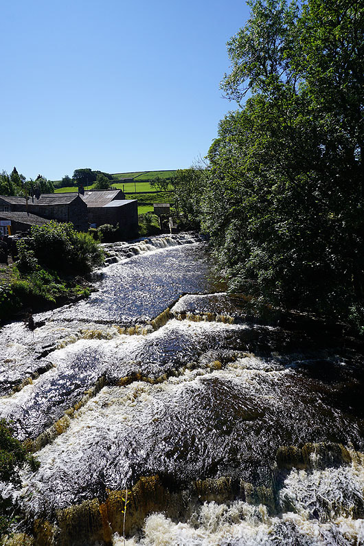
Crossing the River Bain
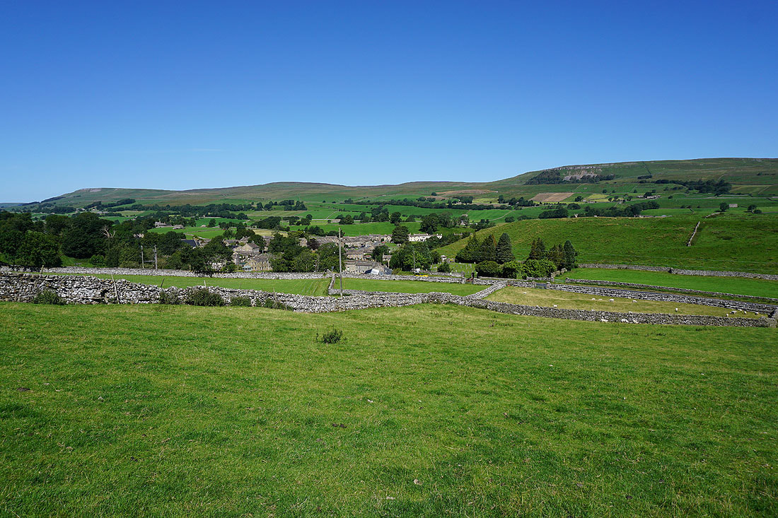
Bainbridge from the path up to Brough Scar
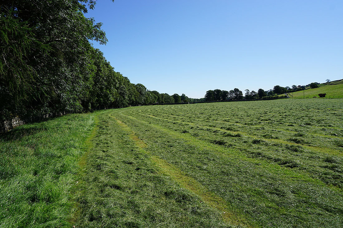
Following the field path next to the woodland on Brough Scar
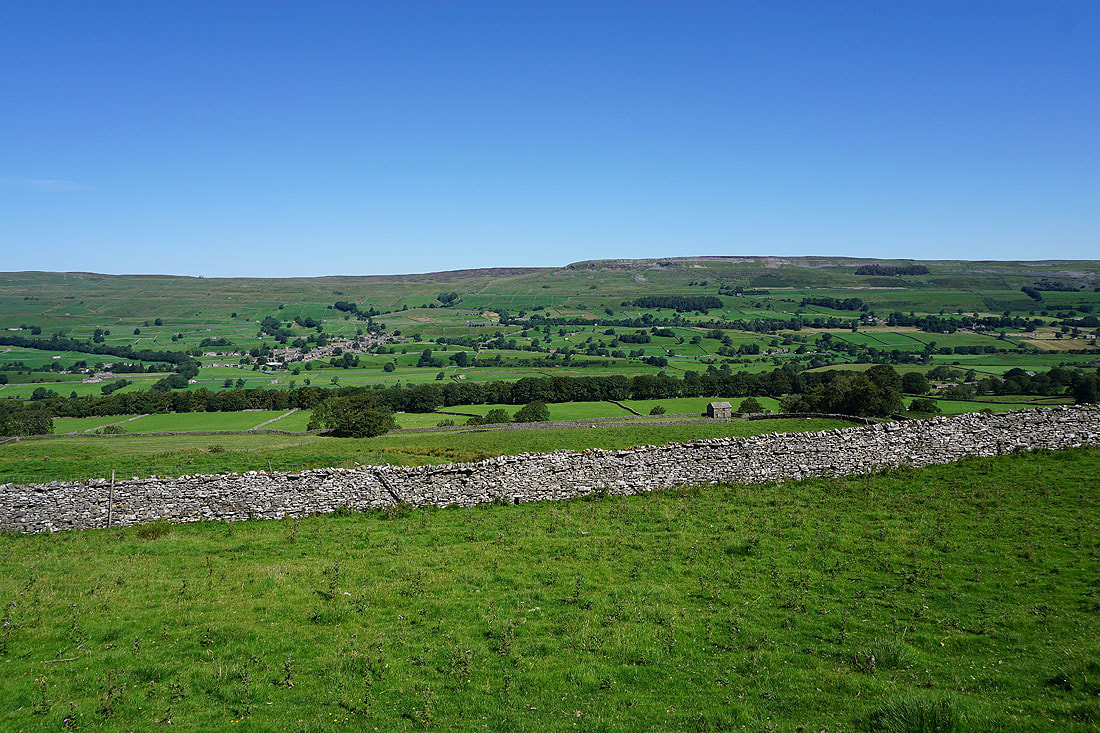
Fields and barns of Brough Pasture
Carperby Moor and Ivy Scar on the other side of Wensleydale as I reach Cubeck
and again as I leave Cubeck on the bridleway up onto Worton Pasture
Looking across Wensleydale to Askrigg and Ellerkin Scar
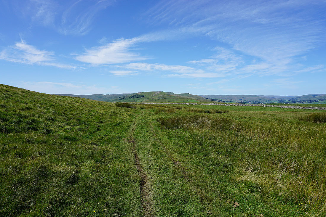
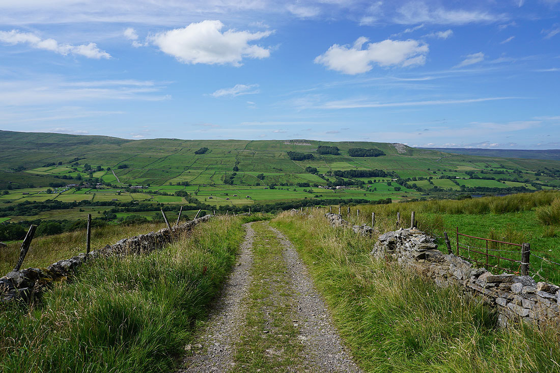
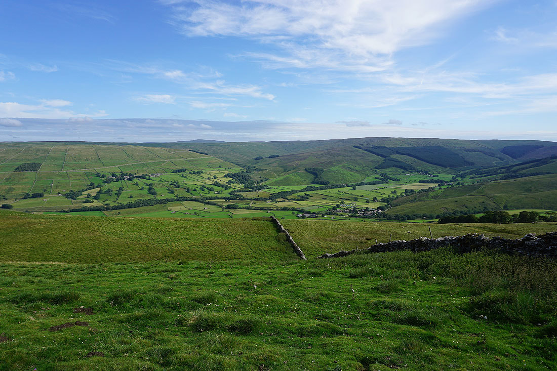
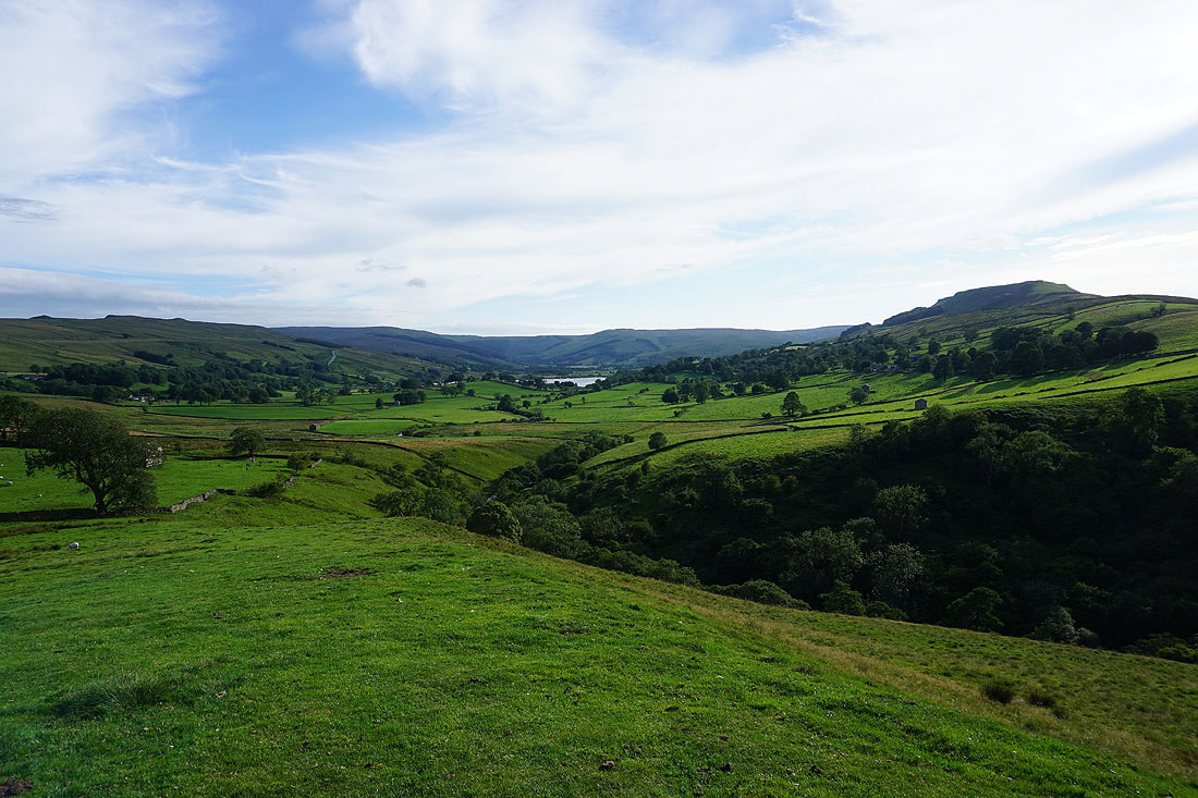
On the bridleway across Worton Pasture with views to the west across the moorland around Raydale and Wensleydale..
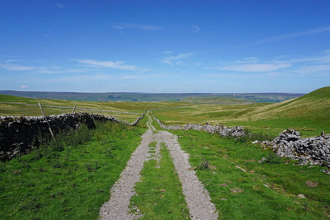
Below the crags of Addlebrough. Time to head up.
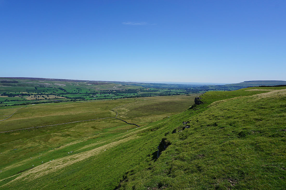
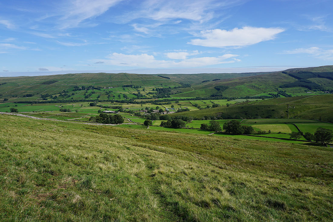
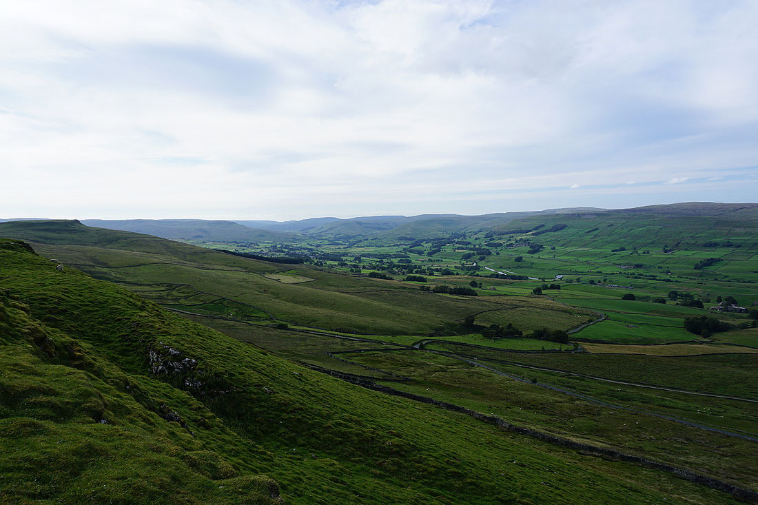
A short time later and I'm on the northern edge of Addlebrough taking in the great view. Looking east down Wensleydale with Carperby Moor and Ivy Scar on the left and Penhill on the right. I can also make out the outline of the distant North York Moors.
and looking west up Wensleydale, with the moorland rising to the high point of Lovely Seat on the right
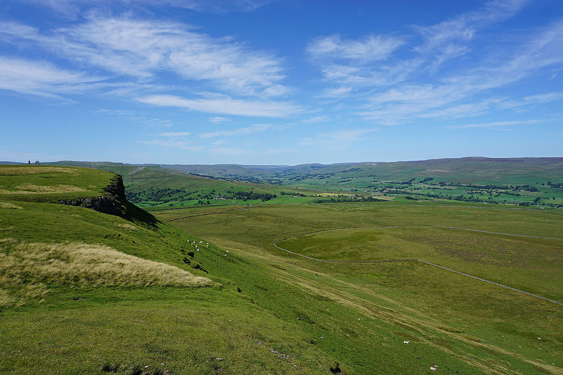
On the summit of Addlebrough
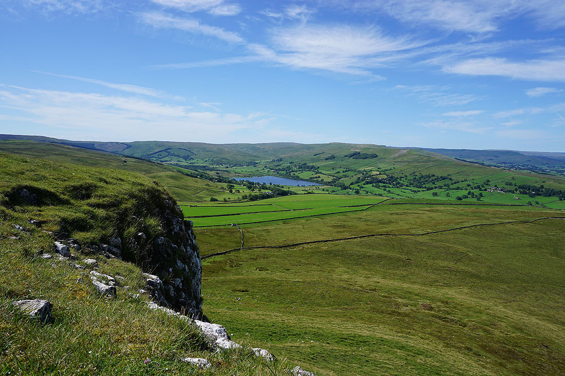
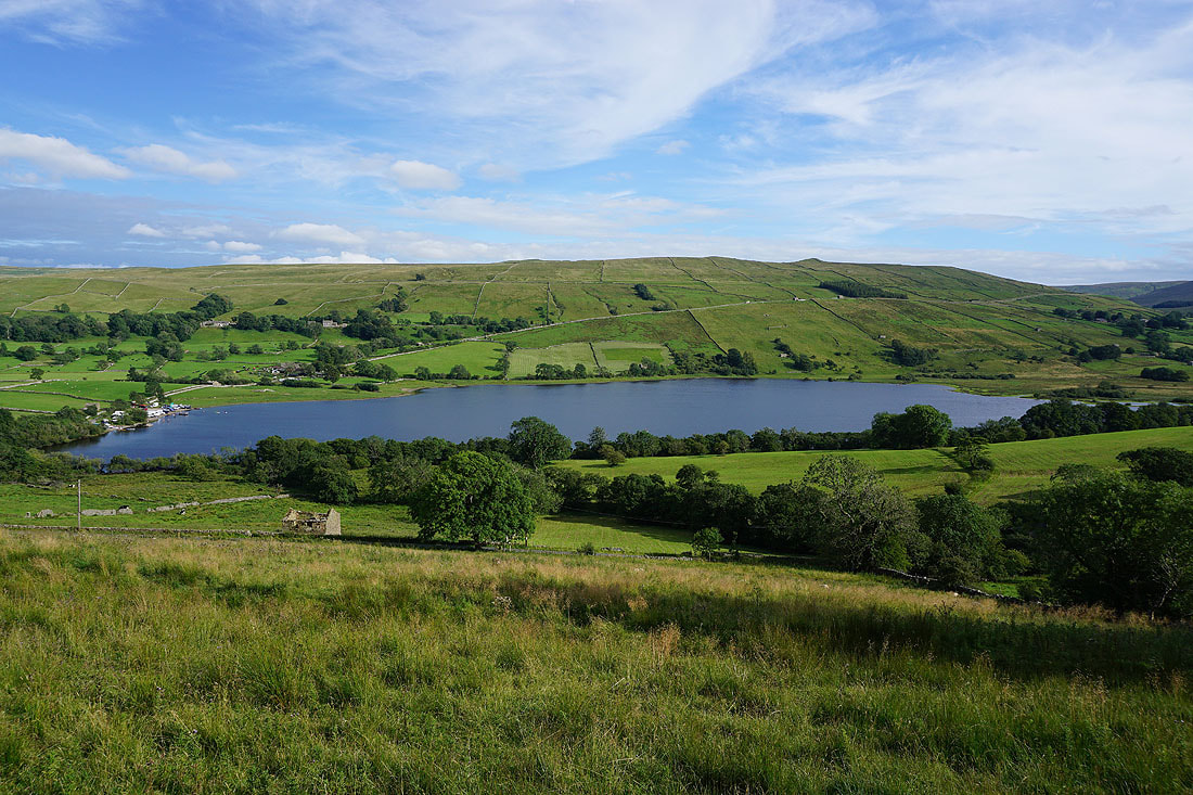
Undoubtedly the best view from Addlebrough is that of Semer Water and Raydale from its western edge.....
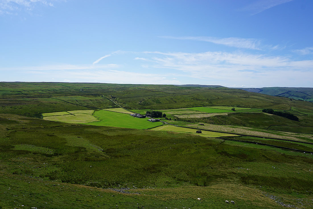
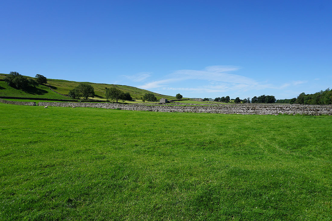
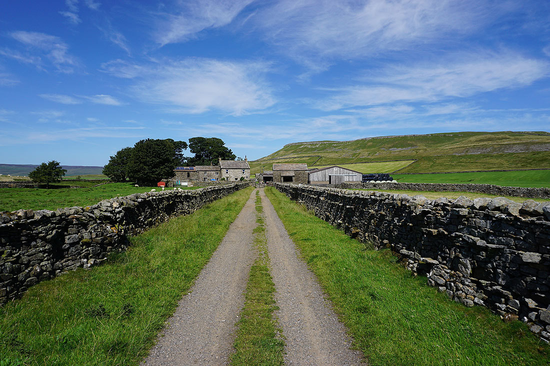
Carpley Green Farm below Water Ling Pasture
Looking across Thornton Rust Moor to Penhill and Harland Hill in the distance
On the bridleway down to Carpley Green Road
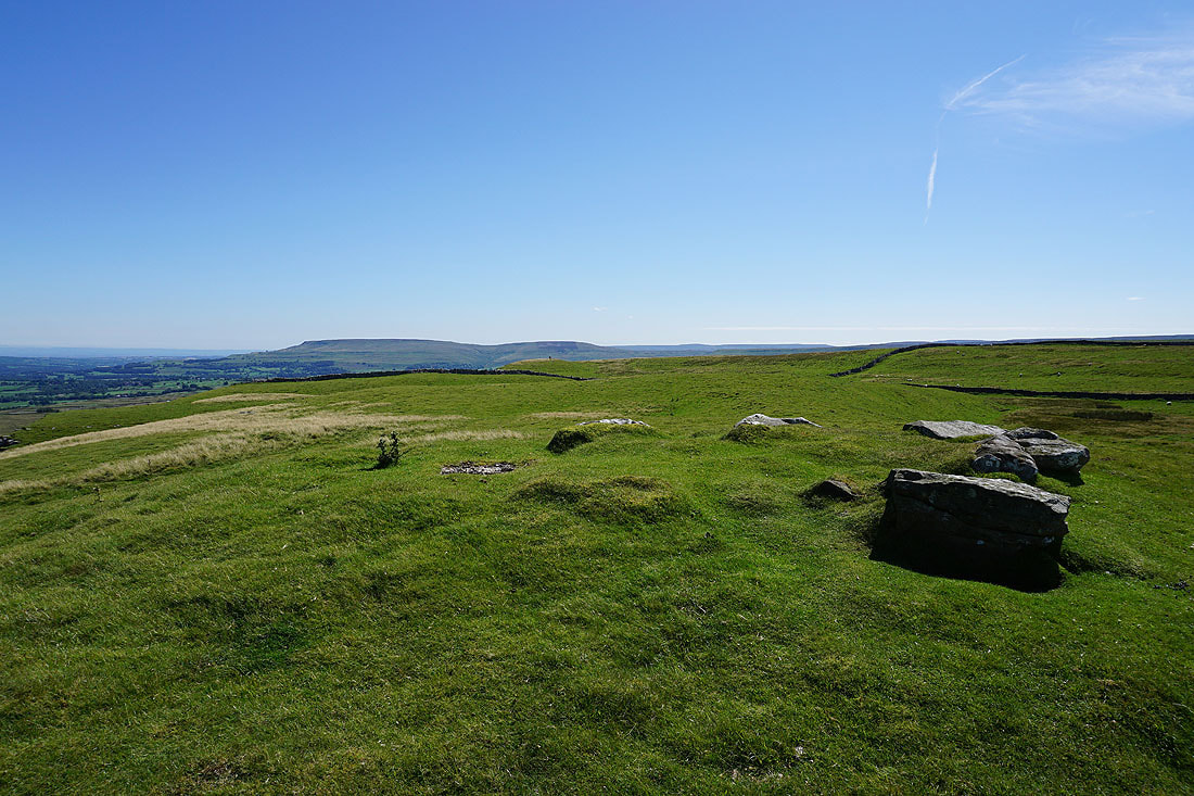
Blue skies above Addlebrough
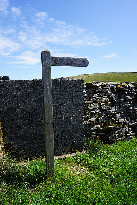
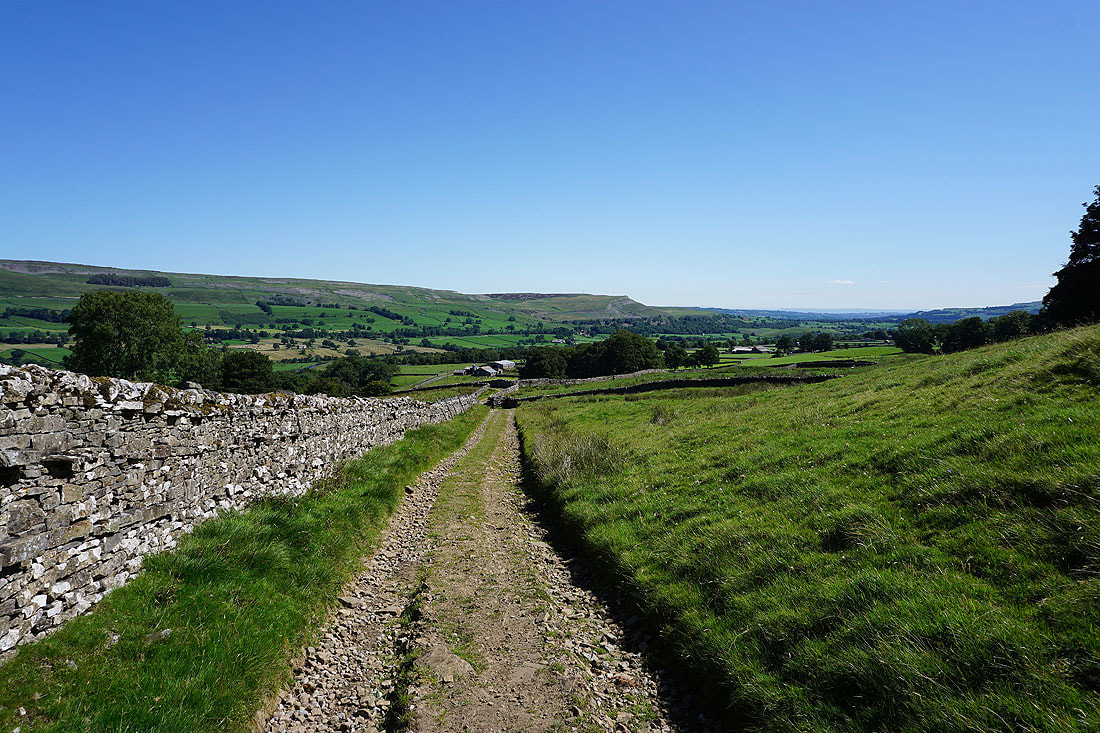
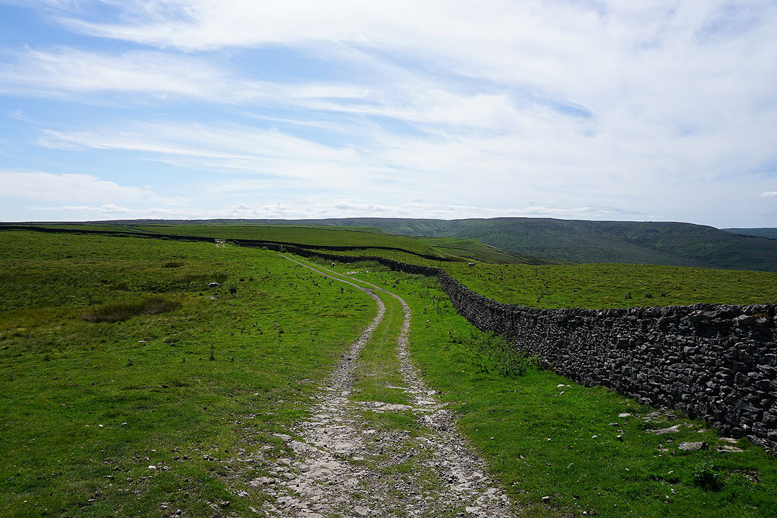
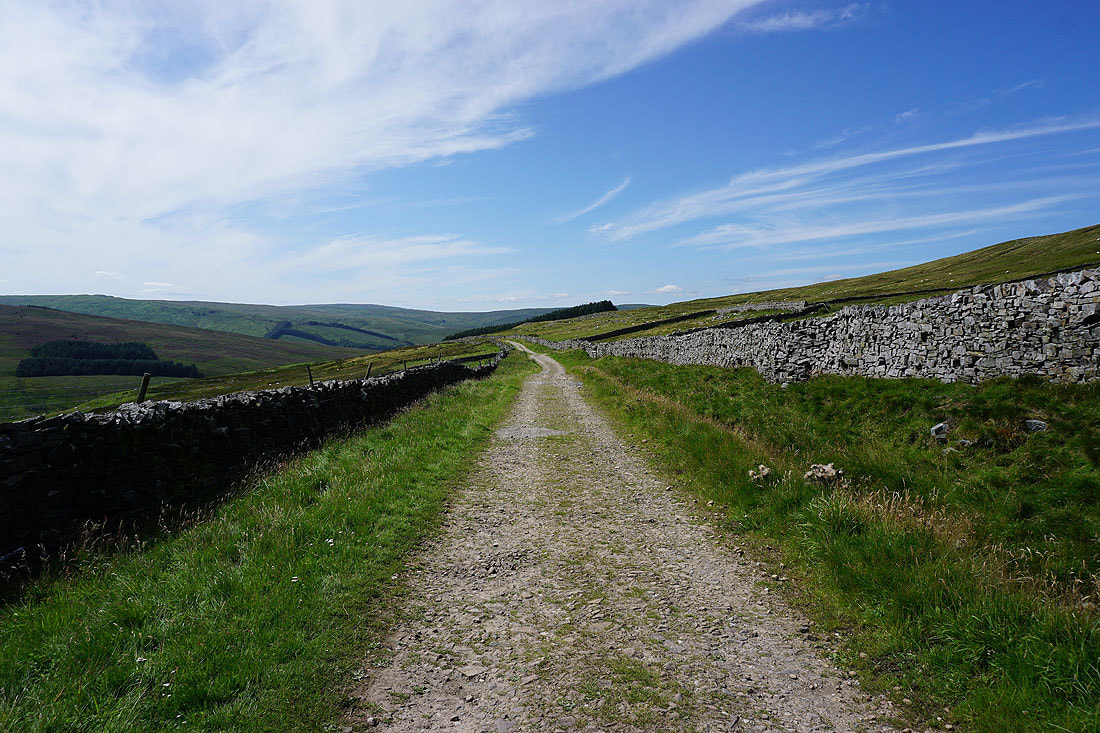
From Carpley Green Farm I take the byway of Busk Lane up to its junction with Stake Road on the moorland of Stake Allotments
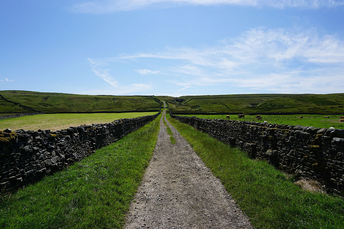
Heading south on the byway of Busk Lane
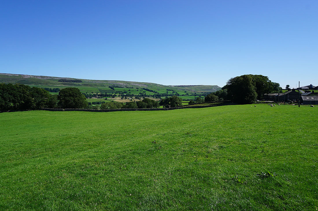
Looking back to Carpley Green Farm beneath Addlebrough
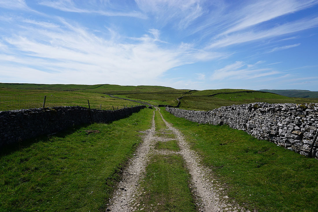
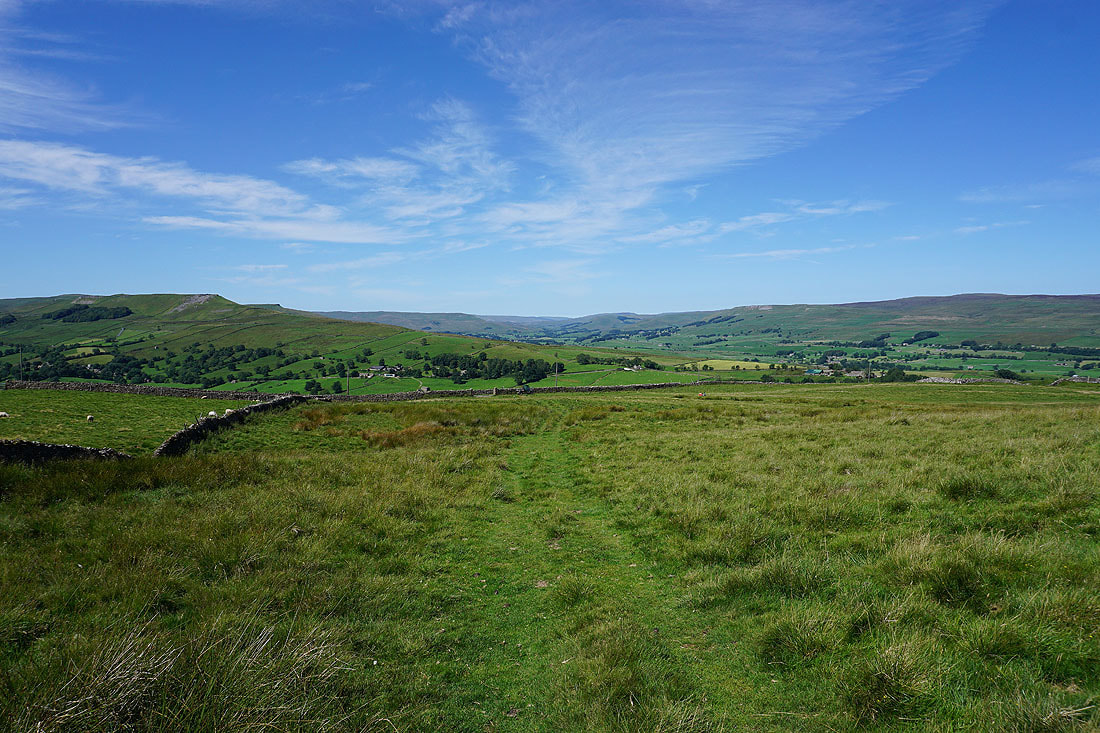
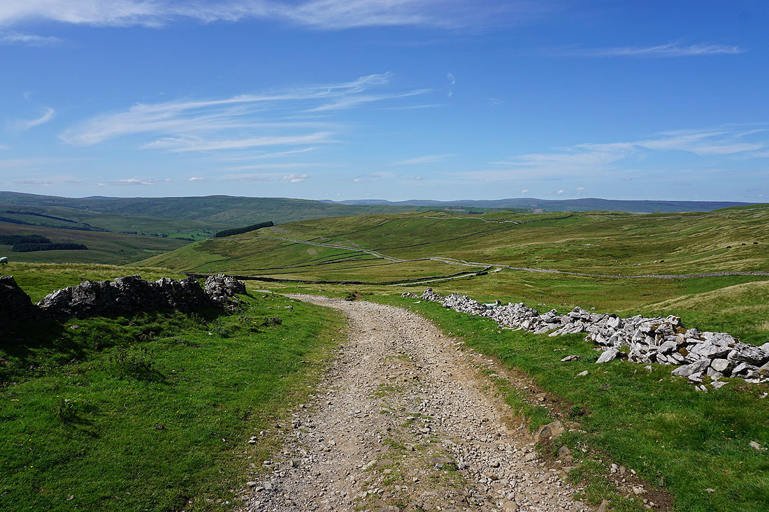
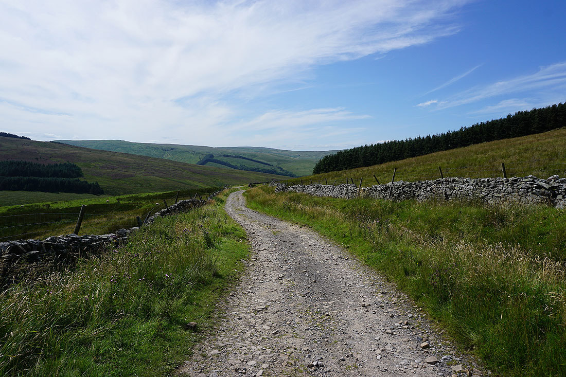
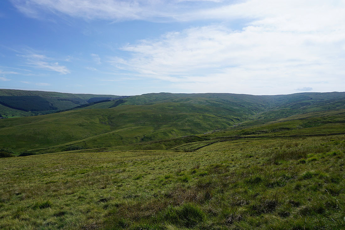
Great views across the surrounding moorland as I follow the byway south...
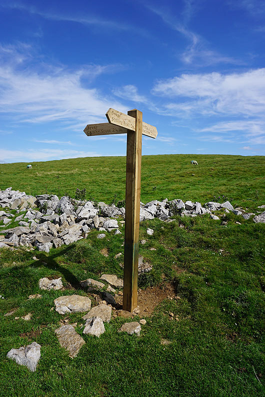
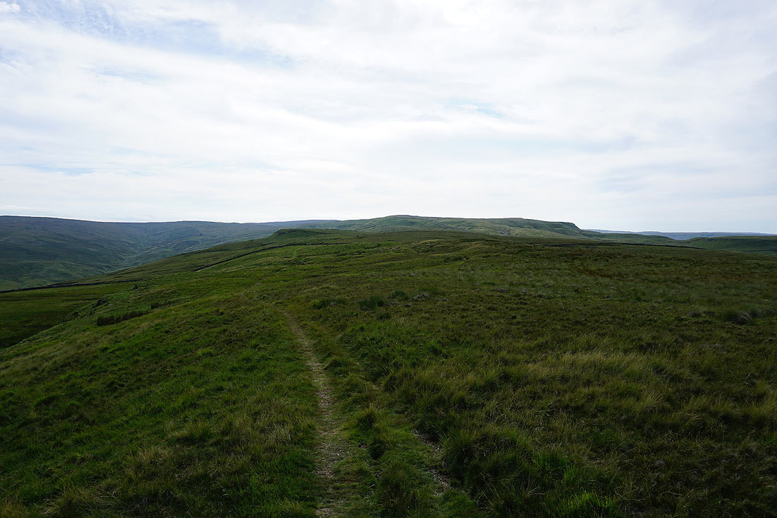
I reach the junction of byways on Stake Allotments, where I take the one to Stalling Busk
On the byway of High Lane down into Cragdale and to Stalling Busk...
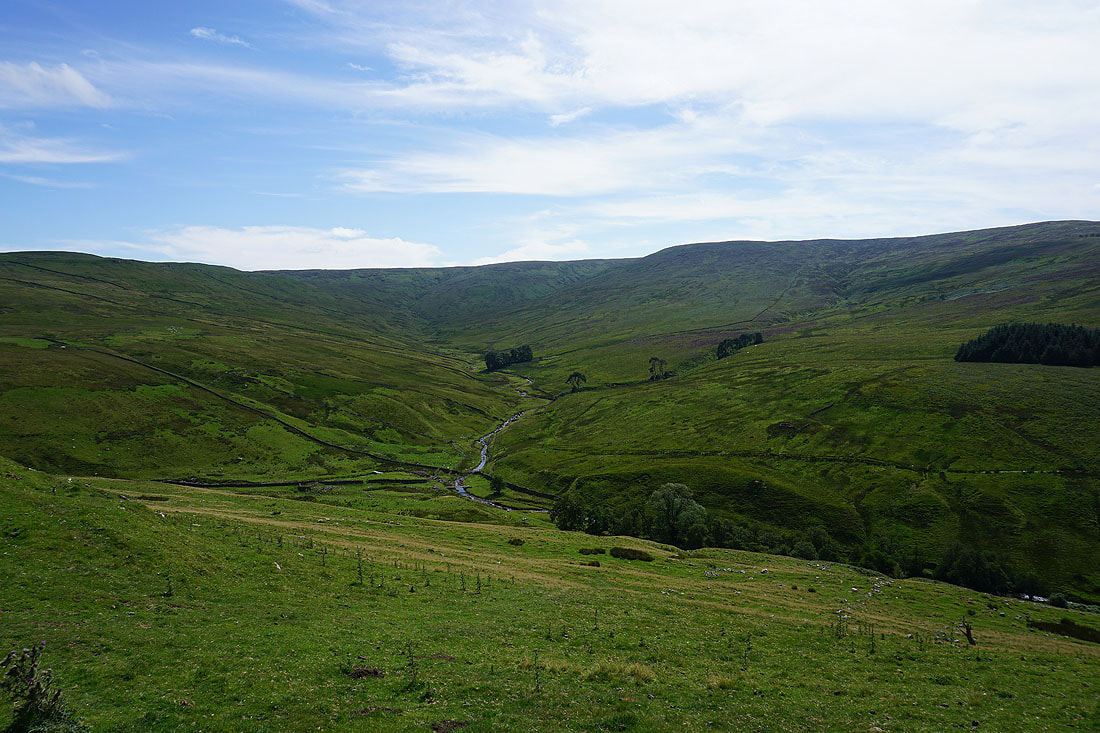
Cragdale and Cragdale Moor
The moorland on the other side of Wensleydale comes into view as I near Stalling Busk
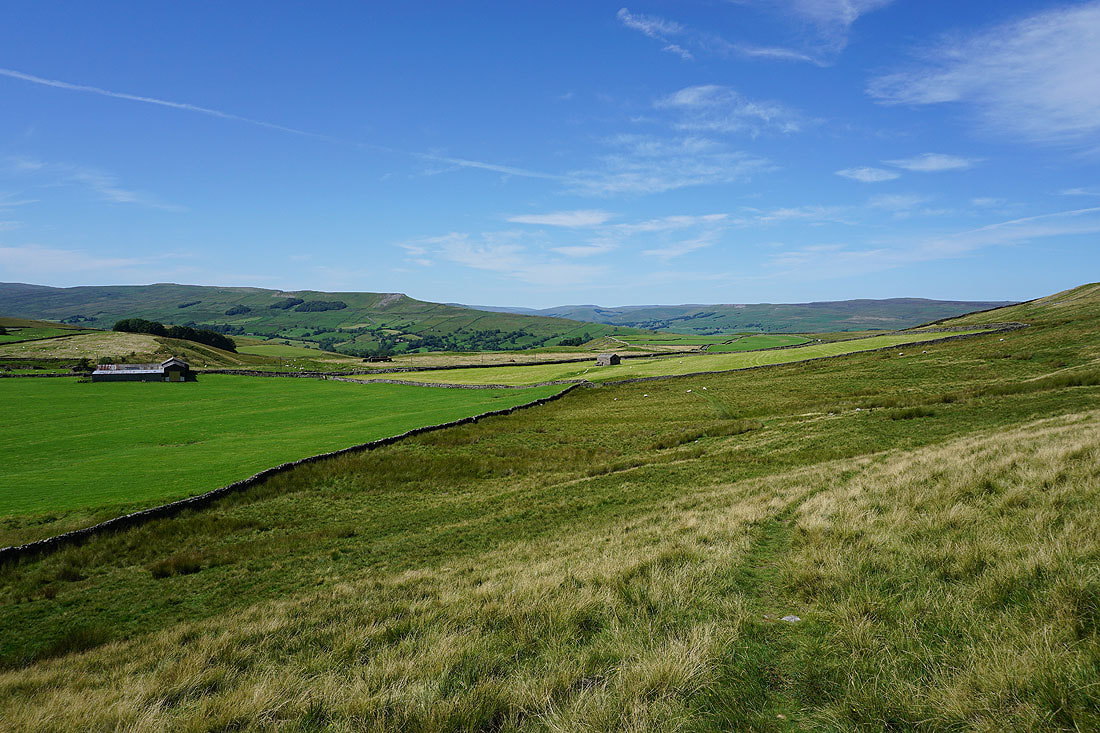
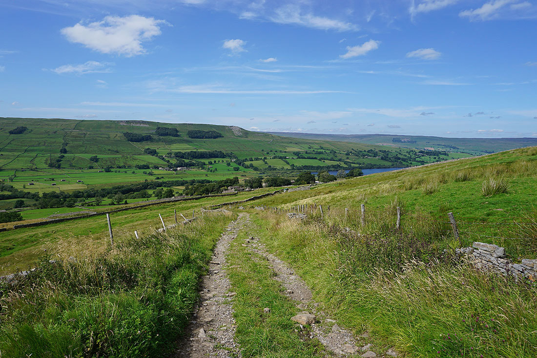
On the track of Bob Lane down into Stalling Busk with great views of Marsett and Raydale..
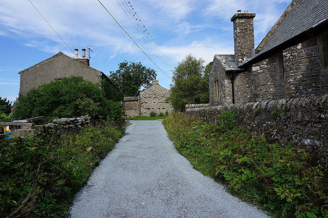
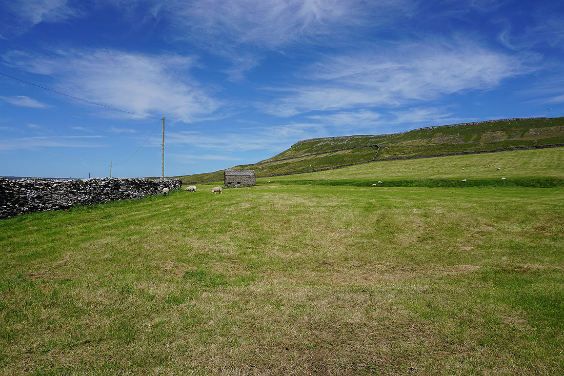
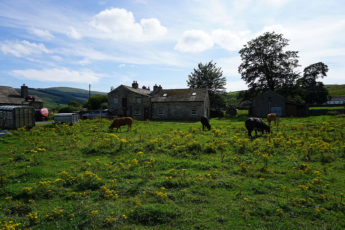
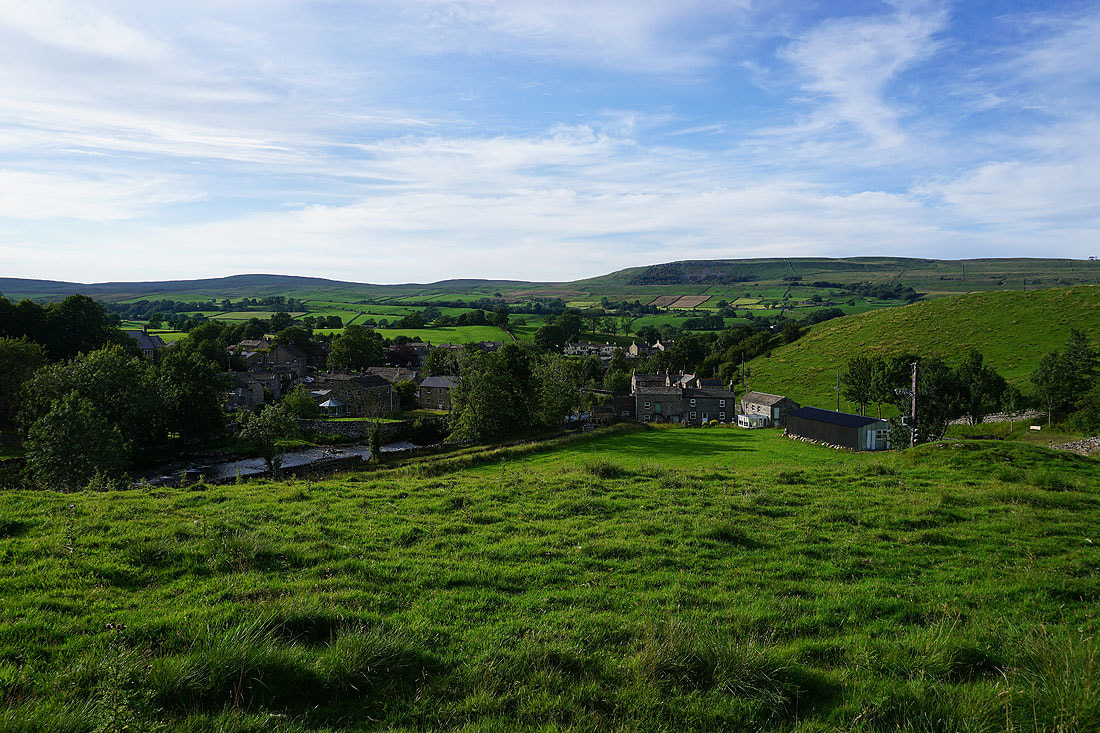
In the hamlet of Stalling Busk
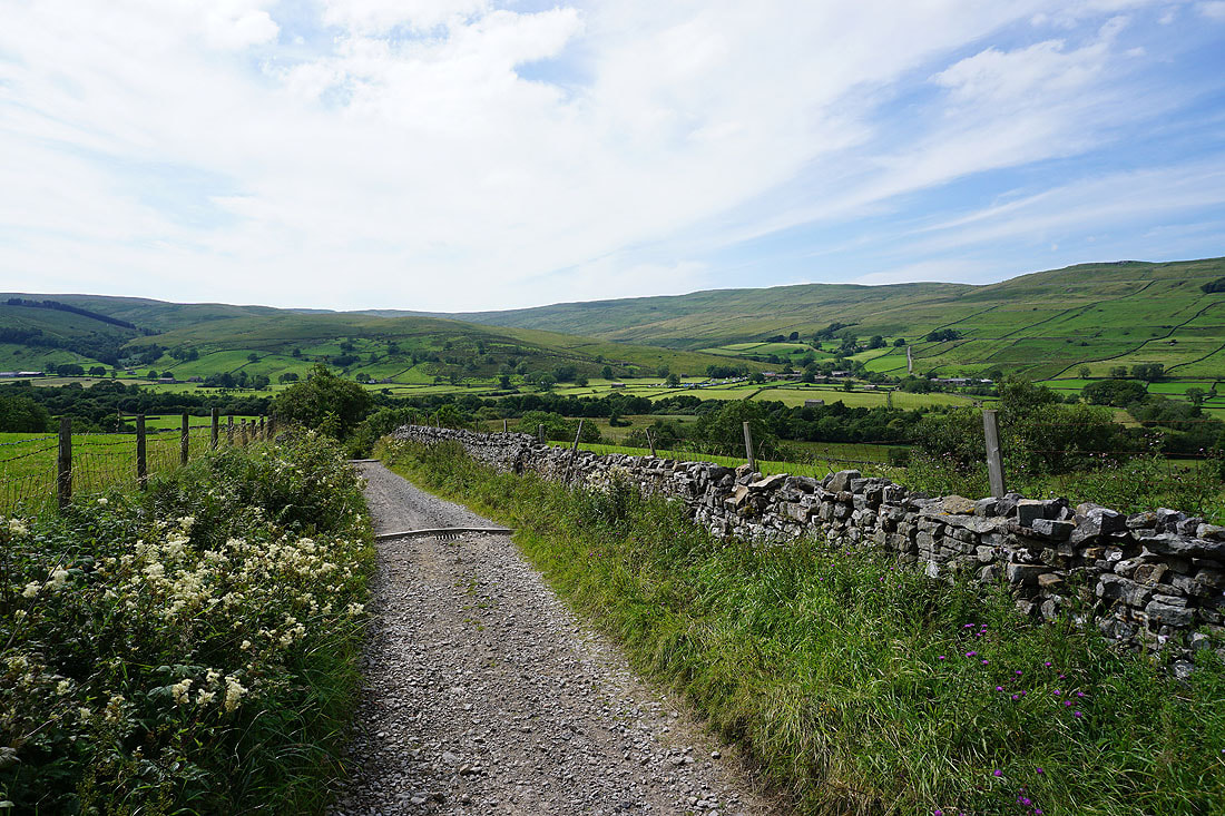
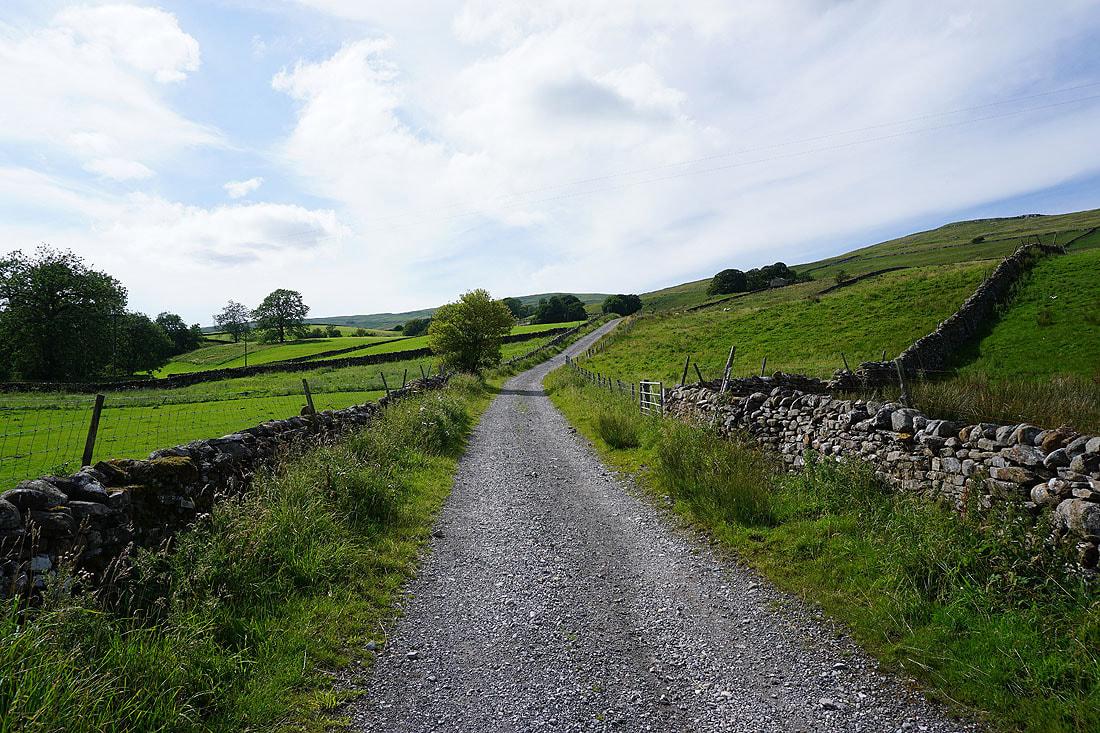
On the track of Busk Lane from Stalling Busk to Marsett
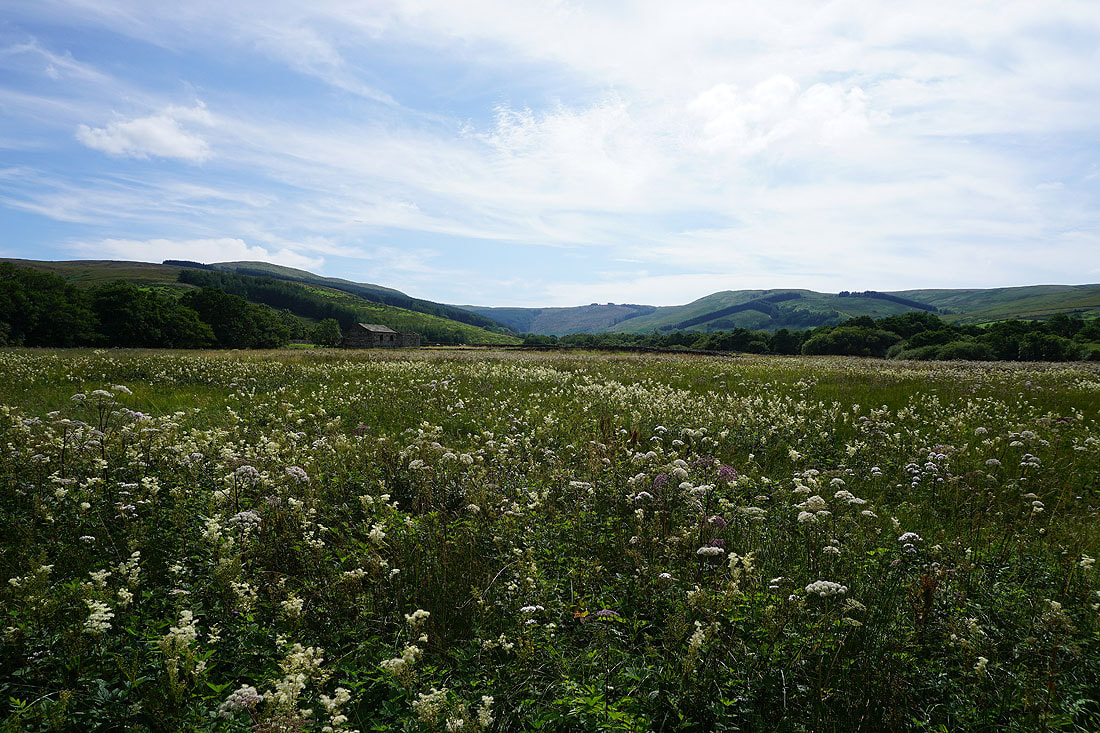
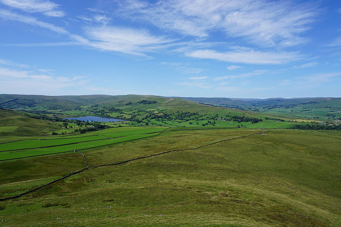
Wildflower meadows in Raydale
In the hamlet of Marsett
Leaving Marsett on the path up to Common Allotments
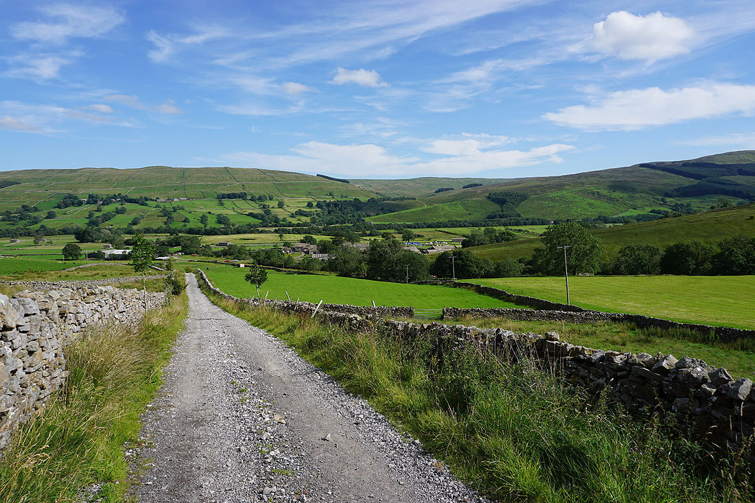
Looking back to Marsett and Raydale..
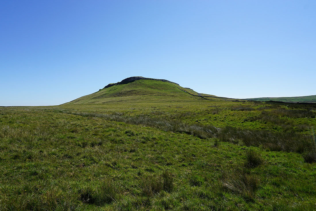
The moorland of Woldside and Bardale
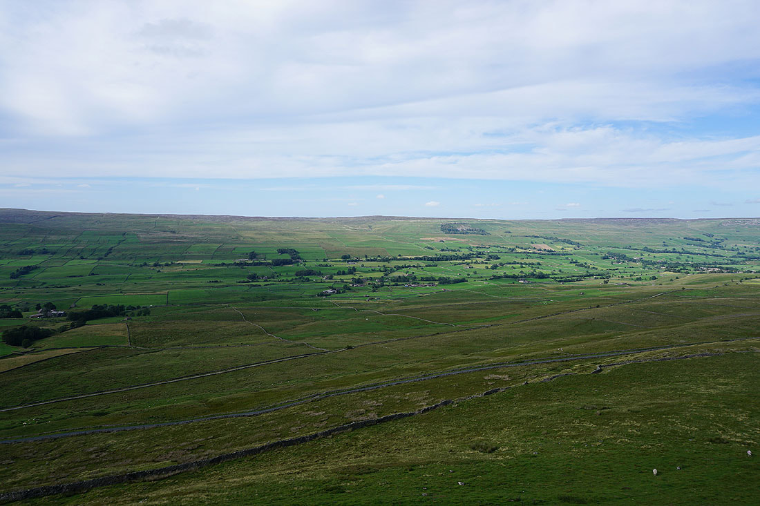
On Common Allotments with a view across Wensleydale to Great Shunner Fell and Lovely Seat
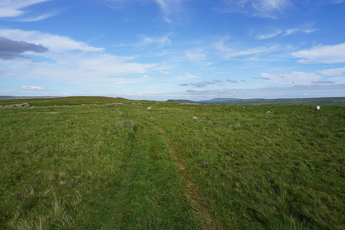
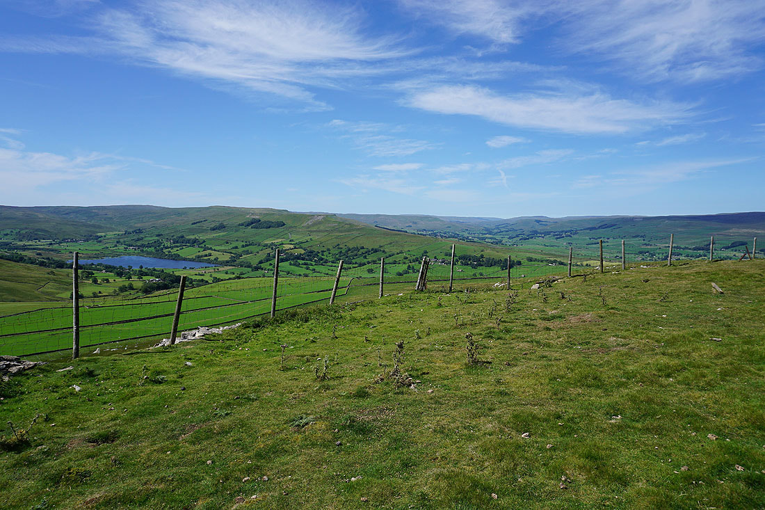
Heading east on the bridleway across Common Allotments to Crag
Stalling Busk, Raydale and Marsett as the bridleway reaches the southern side of the moor
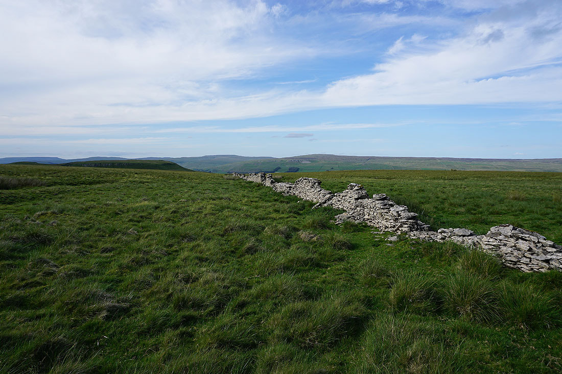
Looking back across Common Allotments to the moorland at the head of Bardale and Wether Fell
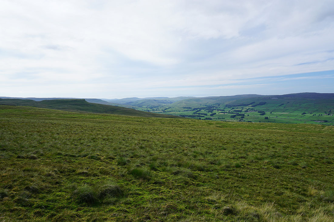
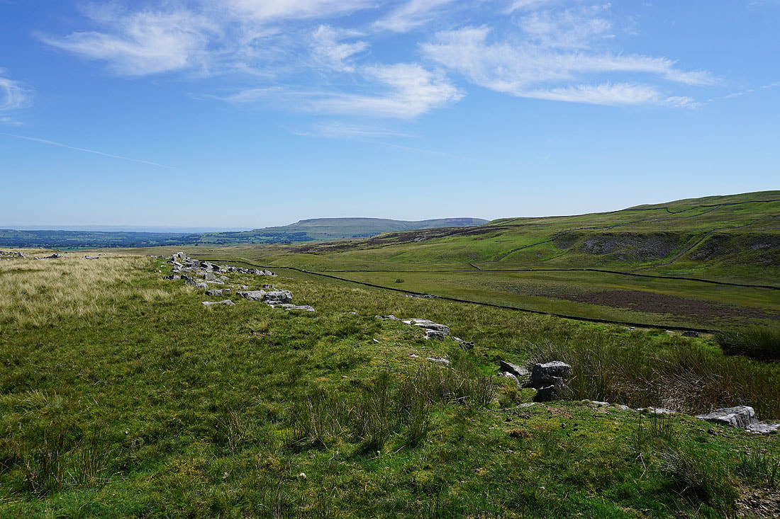
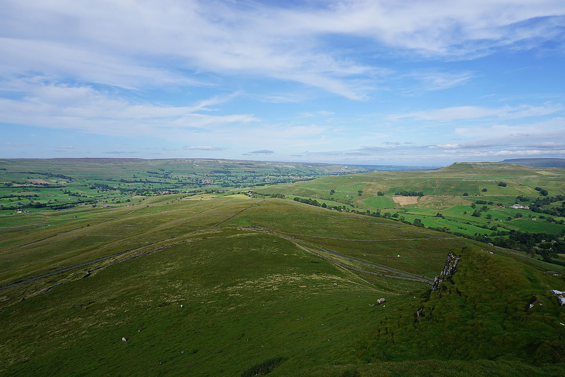
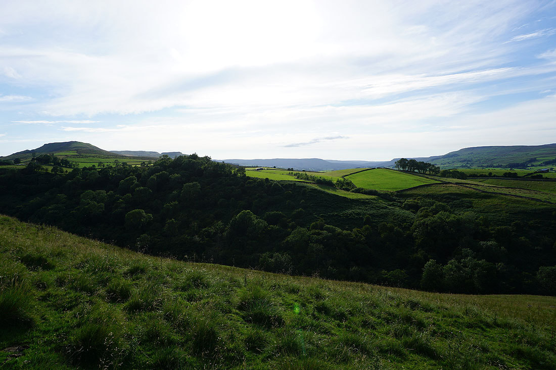
As I approach the northern end of Crag the view to the west to the fells around the head of Wensleydale and beyond opens up. On the left is nearby Yorburgh, then in the distance Swarth Fell, Wild Boar Fell and Lunds Fell; with Great Shunner Fell and Lovely Seat on the right on the other side of Wensleydale.
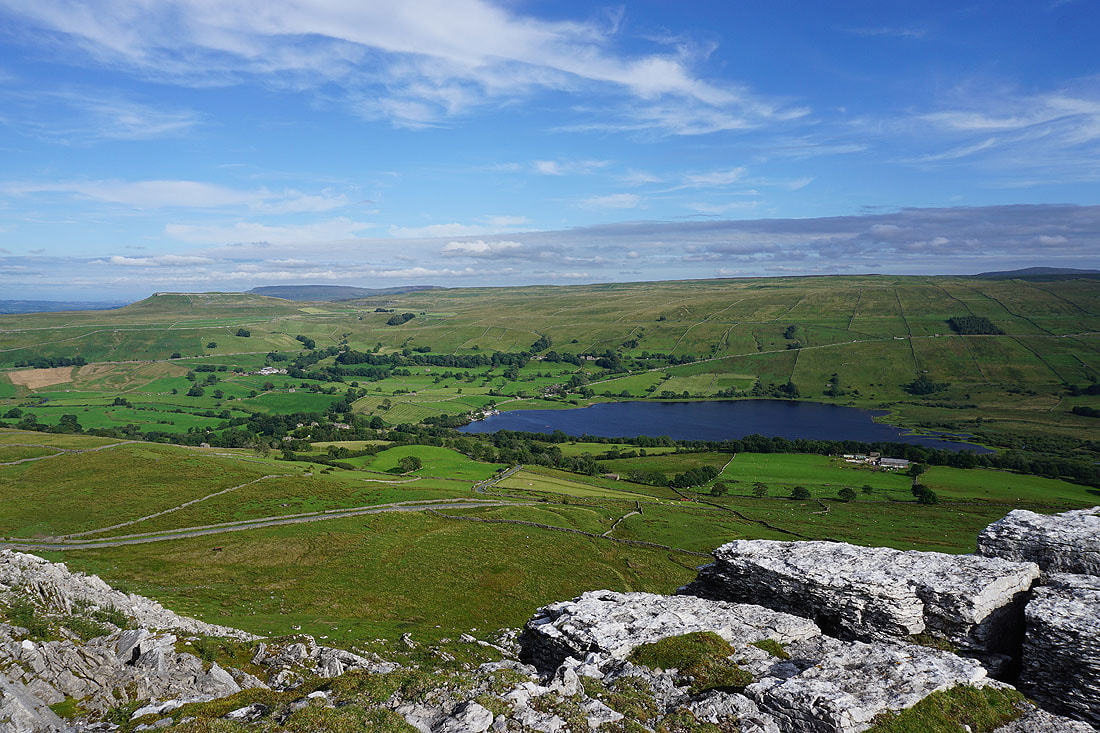
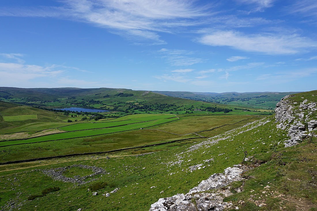
The crags above Raydale give me a great view across the dale to Addlebrough and of Semer Water
Finally at the northern end of Crag, and it's worth the effort of leaving the bridleway down to Crag Side Road for this view of the length of Wensleydale. Widdale Fell in the distance on the left, then Swarth Fell, Wild Boar Fell and Lunds Fell, with Great Shunner Fell and Lovely Seat on the right.
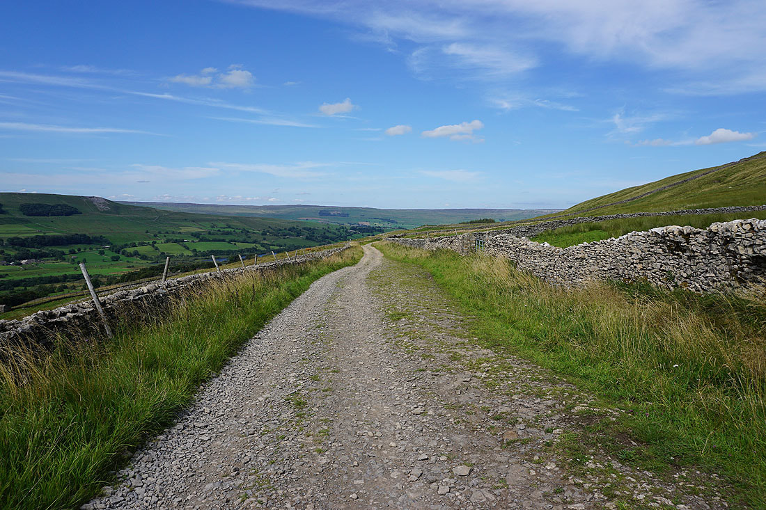
Looking across the dale to Askrigg Common and Whitfield Scar
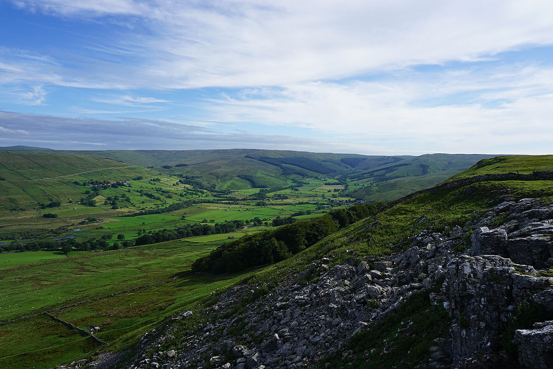
and down dale to Askrigg, Ellerkin Scar and Ivy Scar, with Addlebrough on the right
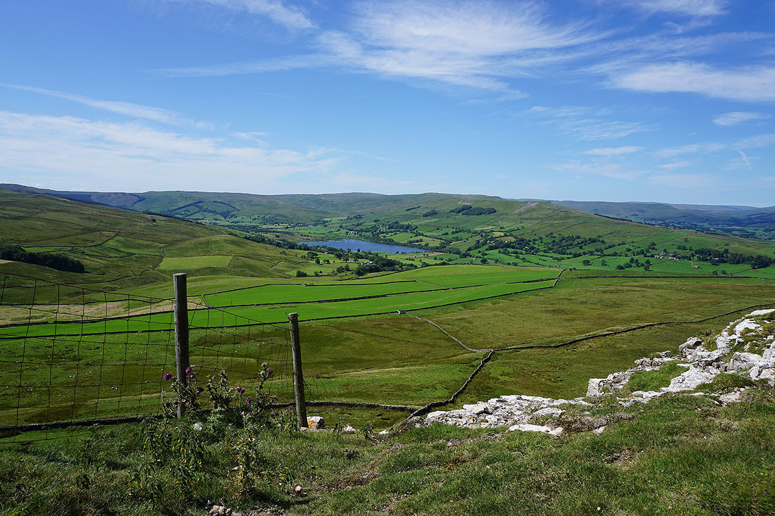
Back above the crags on the eastern side of Crag. Looking south across Raydale to the hamlets of Stalling Busk and Marsett.
Semer Water as I walk down Crag Side Road to Semer Water Bridge
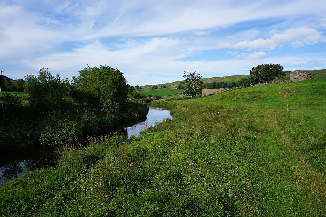
From Semer Water Bridge I take the path north by the River Bain..
Looking back towards Raydale and Semer Water..
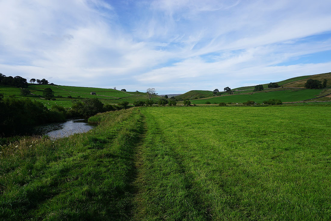
Looking across the gorge containing the River Bain to Bainbridge High Pasture
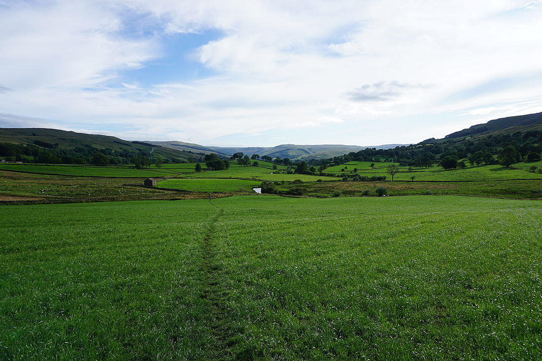
Back above Bainbridge
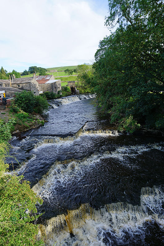
Crossing the River Bain
Early evening sunshine in Bainbridge