8th August 2023 - Weets Hill
Walk Details
Distance walked: 7.4 miles
Total ascent: 1104 ft
OS map used: OL21 - South Pennines
Time taken: 3 hrs
Route description: Foulridge-Hey-Hey Fold-Booth House Farm-High Lane-Copy Nook-Lister Well Road-Weets Hill-Weets House Farm-Gisburn Old Road-Pendle Way-Hollin Hall-Barnoldswick Road-Slipper Hill Reservoir-Reedymoor Lane-Foulridge Lower Reservoir-B6251-Foulridge
It's been quite some time since I last did a walk from home after work, but the temptation of being able to spend a few hours out in the countryside on a beautiful summer's afternoon was too much to resist. I took my usual route to Weets Hill but shortened a little to get to the top quicker. Blue skies, sunny spells, fluffy fair weather clouds and great visibility for taking in the views made me glad that I'd given in to temptation.
Setting off from home I walked to the western end of Station Road and took the footpath straight up the hill and across fields to the corner of Whitemoor Road. Here I turned right and took a lane past some houses, then a footpath on the right down to Hey Fold. The next bit was a little complicated as I took the footpath right at Hey Fold, then left across the crest of a little hill and past Hullet Hall down to County Brook Lane. I briefly walked down the lane, took a footpath on the left through a patch of woodland and across a bridge over County Brook, before resuming following footpaths north across fields past Wood End Farm to Booth House Farm, where I took a footpath up a field to High Lane. I then walked a short distance north along High Lane, then took a track on the left and followed it uphill past Copy Nook to the bridleway of Lister Well Road. I crossed Lister Well Road and went through a gate onto access land, then took a path up to a wall below a small area of woodland, went through the wall, then followed a path by it to the top of Weets Hill. After taking in the view I took the Pendle Way to reach Weets House Farm at the top of Gisburn Old Road. I then walked down Gisburn Old Road until I reached Star Hall Farm where I took the Pendle Way on the right across fields. I left the Pendle Way above Admergill Pasture Cottage for a footpath by a wall, before crossing the wall and taking a footpath down through fields to Hollin Hall on Barnoldswick Road. I crossed the road and took the footpath opposite down through fields to where it meets the lane by Slipper Hill Reservoir. I then took the footpath round Slipper Hill Reservoir to reach a track past Sand Hall to reach Reedymoor Lane, which I crossed to reach Foulridge Lower Reservoir. After walking north by Foulridge Lower Reservoir I took a ladder stile on the left for a footpath up across fields to the B6251 for a return to Foulridge and home.
Total ascent: 1104 ft
OS map used: OL21 - South Pennines
Time taken: 3 hrs
Route description: Foulridge-Hey-Hey Fold-Booth House Farm-High Lane-Copy Nook-Lister Well Road-Weets Hill-Weets House Farm-Gisburn Old Road-Pendle Way-Hollin Hall-Barnoldswick Road-Slipper Hill Reservoir-Reedymoor Lane-Foulridge Lower Reservoir-B6251-Foulridge
It's been quite some time since I last did a walk from home after work, but the temptation of being able to spend a few hours out in the countryside on a beautiful summer's afternoon was too much to resist. I took my usual route to Weets Hill but shortened a little to get to the top quicker. Blue skies, sunny spells, fluffy fair weather clouds and great visibility for taking in the views made me glad that I'd given in to temptation.
Setting off from home I walked to the western end of Station Road and took the footpath straight up the hill and across fields to the corner of Whitemoor Road. Here I turned right and took a lane past some houses, then a footpath on the right down to Hey Fold. The next bit was a little complicated as I took the footpath right at Hey Fold, then left across the crest of a little hill and past Hullet Hall down to County Brook Lane. I briefly walked down the lane, took a footpath on the left through a patch of woodland and across a bridge over County Brook, before resuming following footpaths north across fields past Wood End Farm to Booth House Farm, where I took a footpath up a field to High Lane. I then walked a short distance north along High Lane, then took a track on the left and followed it uphill past Copy Nook to the bridleway of Lister Well Road. I crossed Lister Well Road and went through a gate onto access land, then took a path up to a wall below a small area of woodland, went through the wall, then followed a path by it to the top of Weets Hill. After taking in the view I took the Pendle Way to reach Weets House Farm at the top of Gisburn Old Road. I then walked down Gisburn Old Road until I reached Star Hall Farm where I took the Pendle Way on the right across fields. I left the Pendle Way above Admergill Pasture Cottage for a footpath by a wall, before crossing the wall and taking a footpath down through fields to Hollin Hall on Barnoldswick Road. I crossed the road and took the footpath opposite down through fields to where it meets the lane by Slipper Hill Reservoir. I then took the footpath round Slipper Hill Reservoir to reach a track past Sand Hall to reach Reedymoor Lane, which I crossed to reach Foulridge Lower Reservoir. After walking north by Foulridge Lower Reservoir I took a ladder stile on the left for a footpath up across fields to the B6251 for a return to Foulridge and home.
Route map
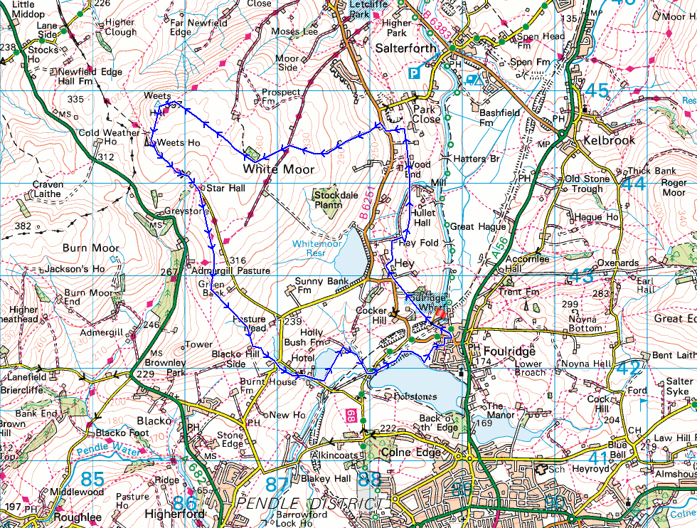
© Crown copyright. All rights reserved. License number PU 100034184.
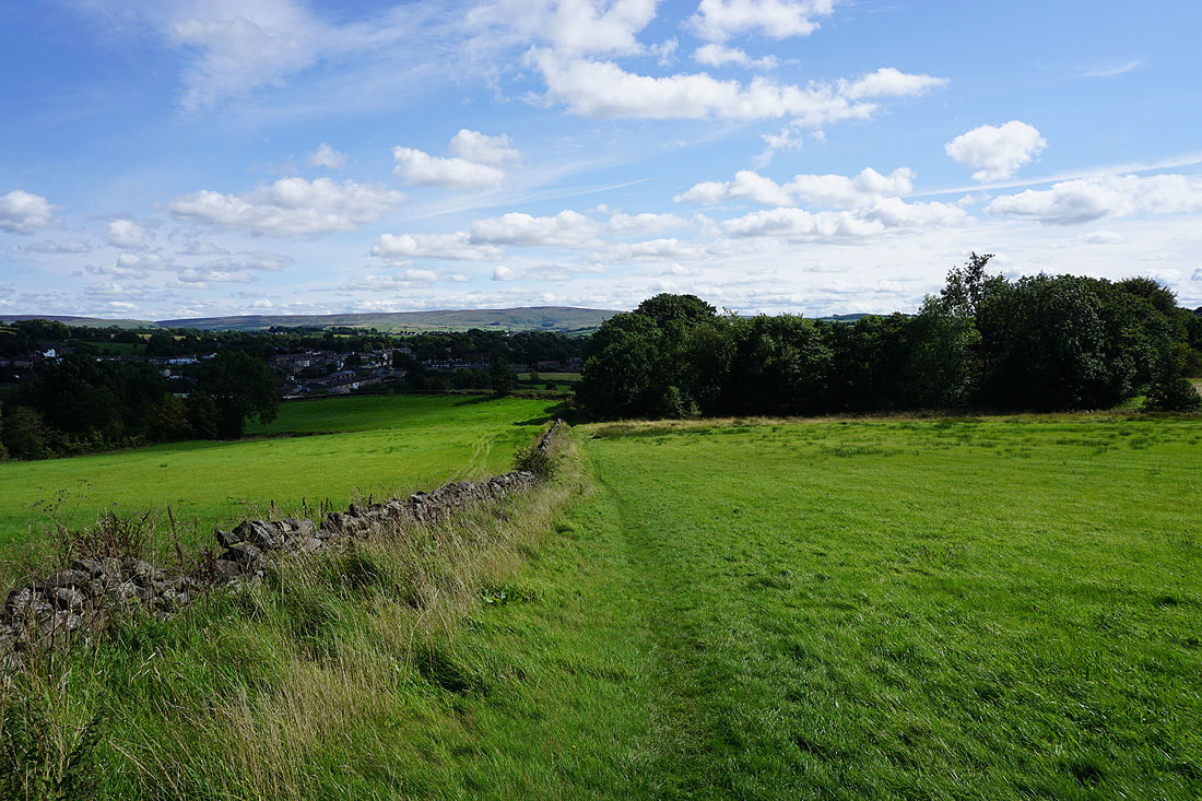
Leaving Foulridge behind with Boulsworth Hill in the distance
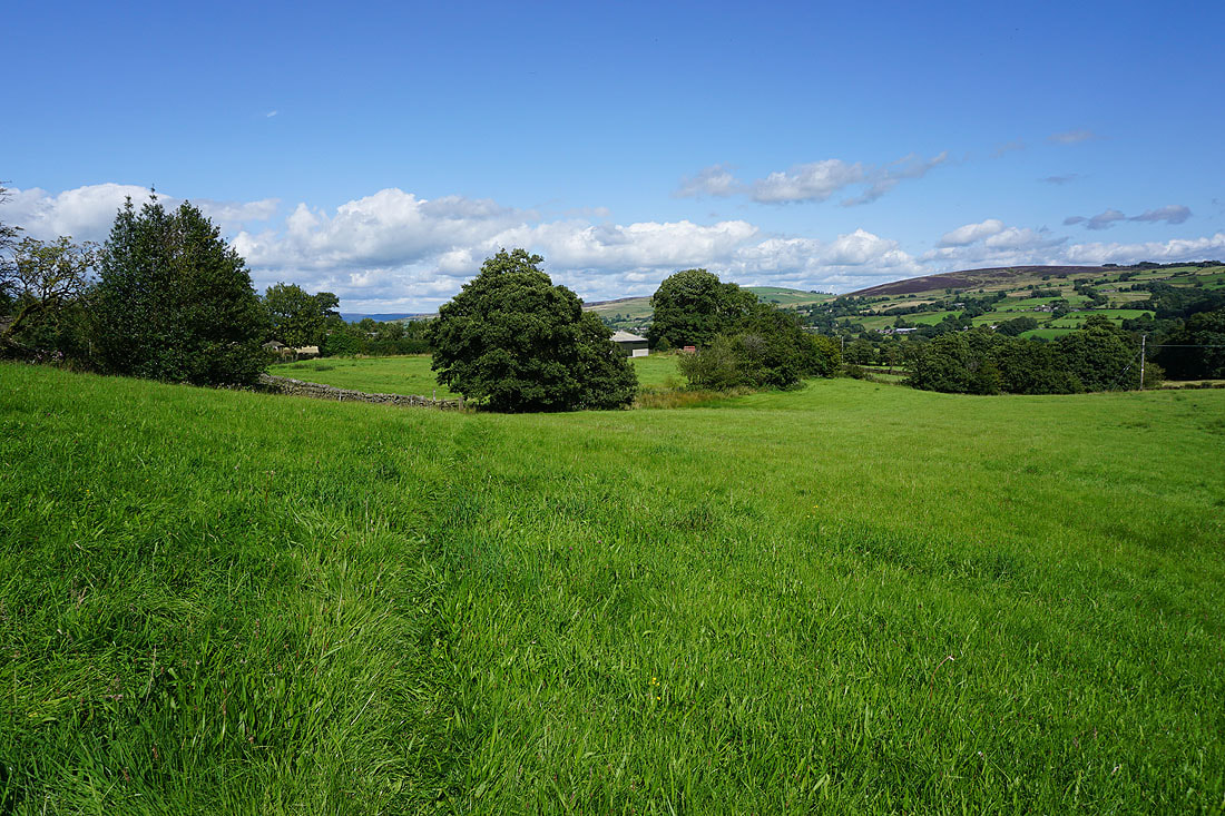
Taking the path north to County Brook, and Kelbrook Moor and Bleara Moor come into view on the right..
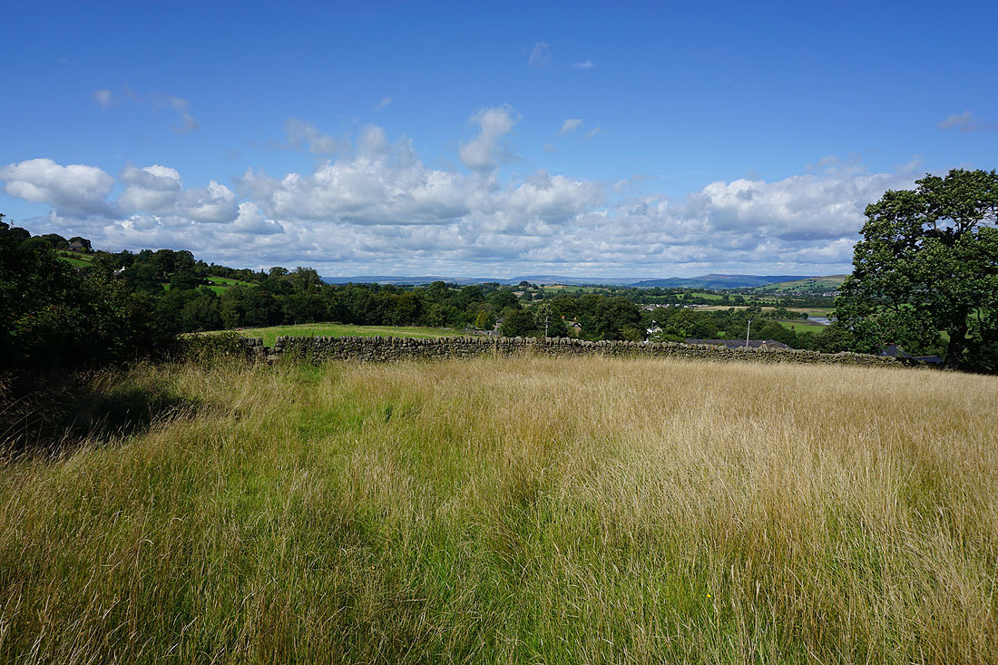
..along with a distant Great Whernside
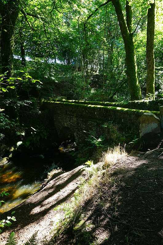
The footbridge over County Brook
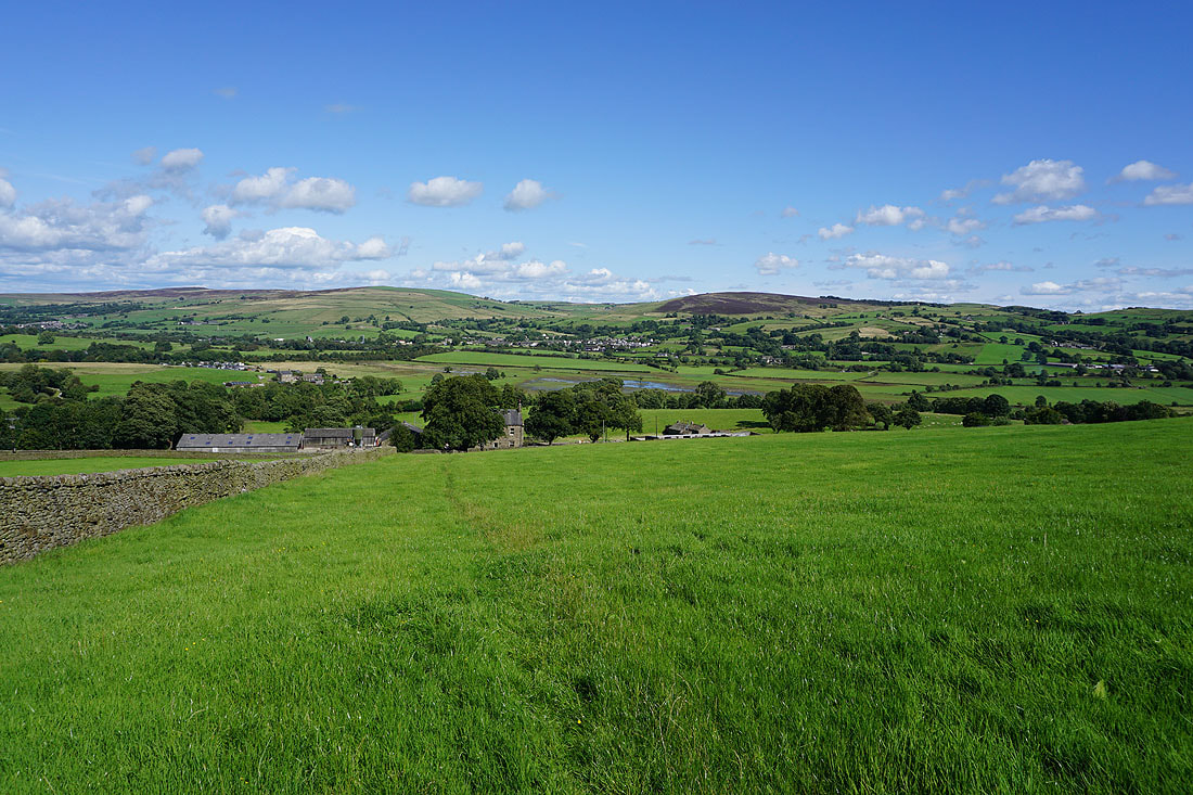
Bleara Moor, Kelbrook and Kelbrook Moor as I take the path from Booth House Farm up to High Lane
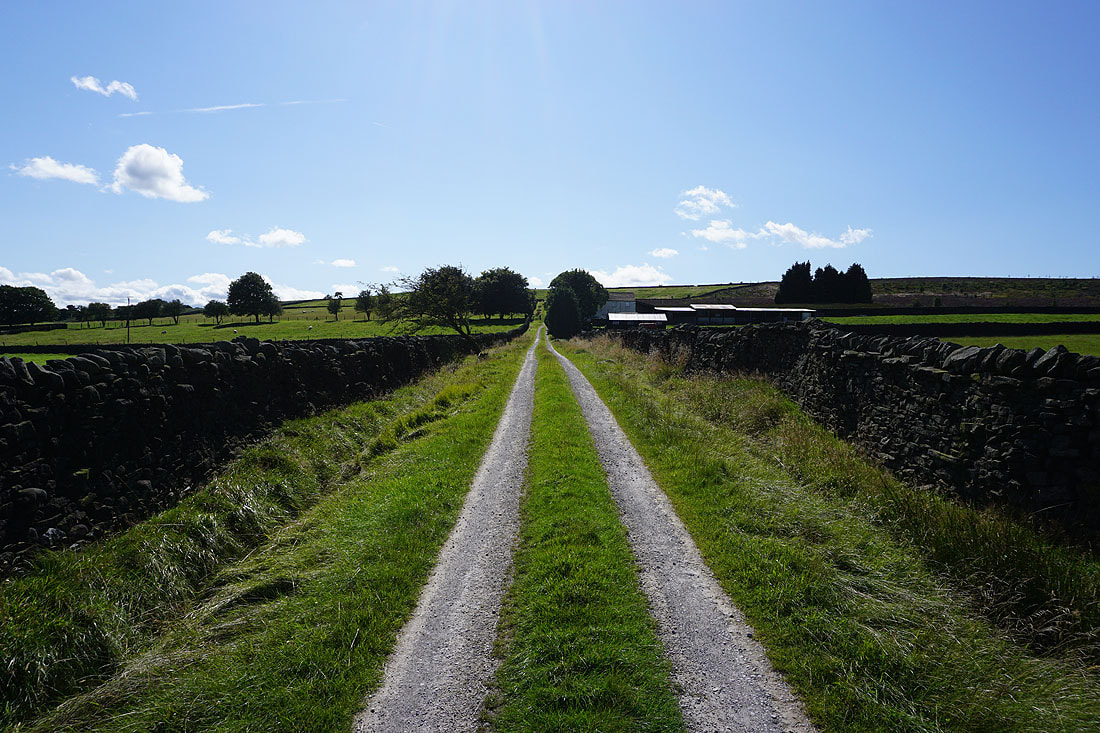
On the track past Copy Nook up onto Lad Lowe Hill
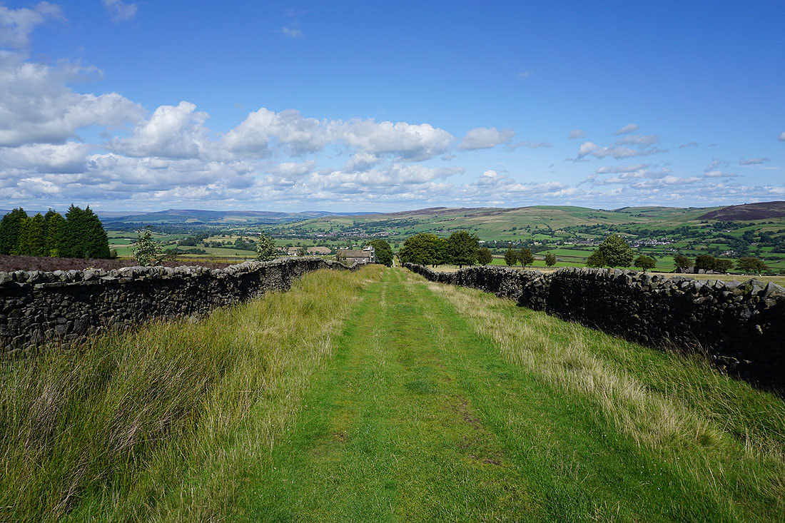
Looking back with Barden Moor, Thornton Moor and Bleara Moor in the distance
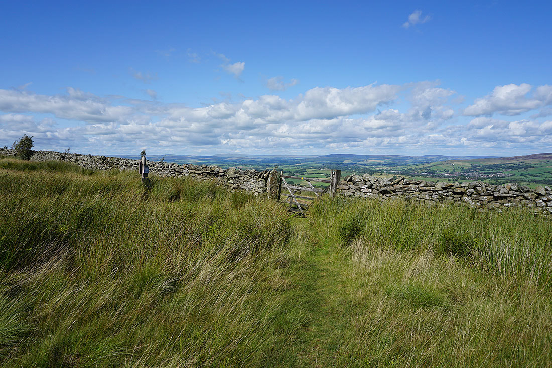
Great Whernside and Barden Moor in the distance from the gate onto access land on Lad Lowe Hill
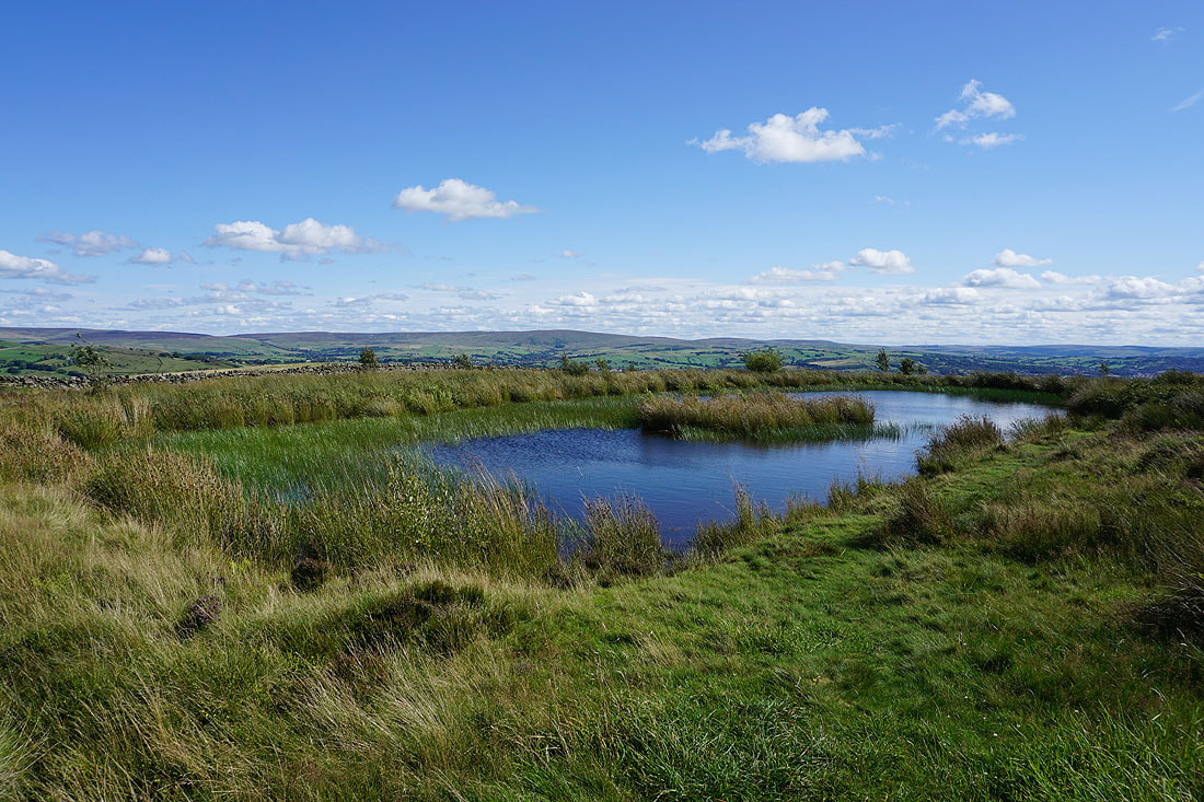
Boulsworth Hill from the pool on Lad Lowe Hill
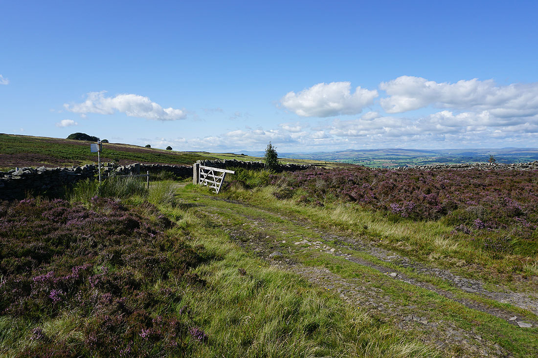
Onto the bridleway of Lister Well Road
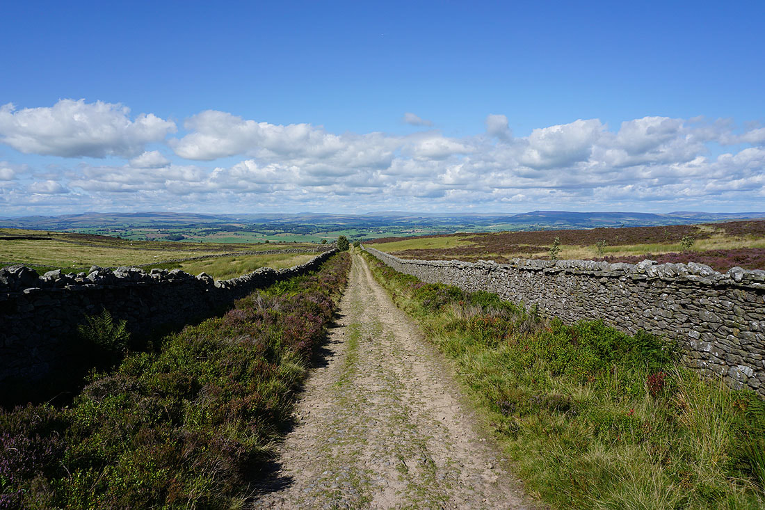
Looking down Lister Well Road with the moorland around Malhamdale and Wharfedale in the distance
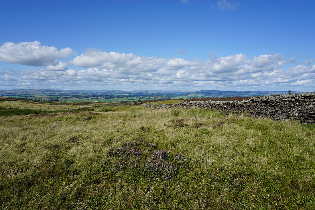
I crossed Lister Well Road and went through a gate onto access land, from where I get the same view but even better
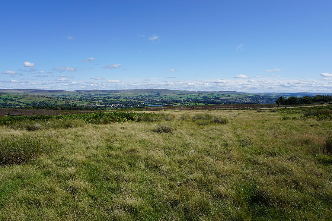
Along with this one of Foulridge, Foulridge Lower Reservoir, Boulsworth Hill, and Colne
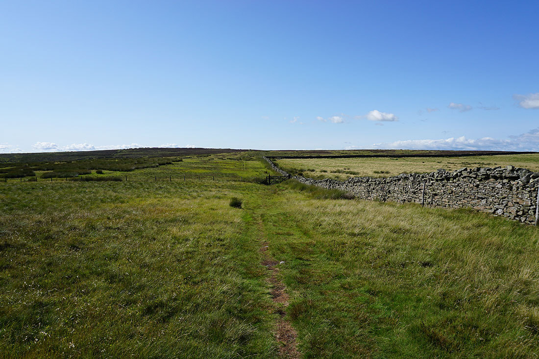
Making my way up access land towards the top of Weets Hill
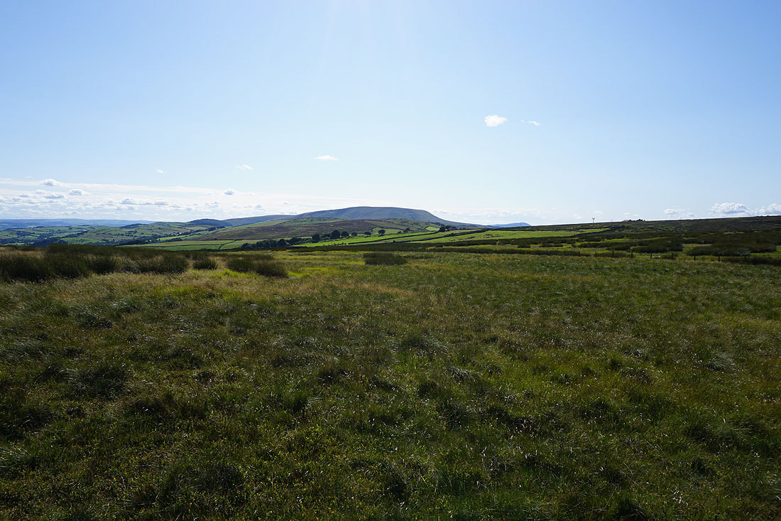
To my left, Pendle Hill in the distance
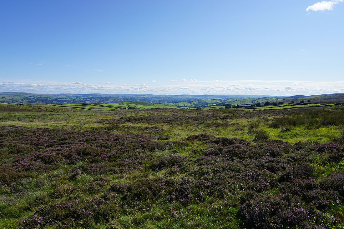
Blacko Hill and the Forest of Pendle, with the moors above Burnley in the distance
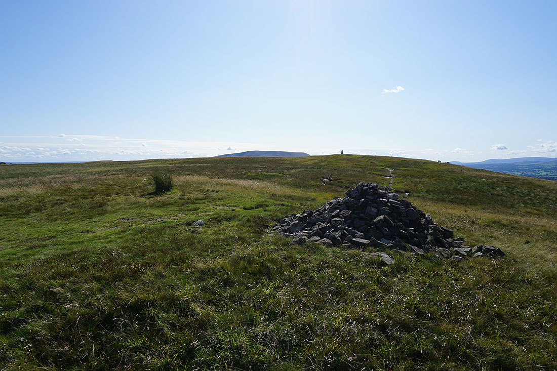
The top of Pendle Hill from the eastern end of the summit
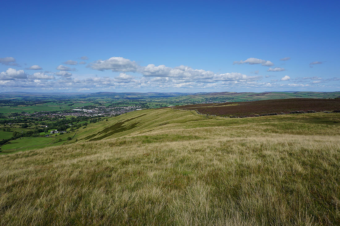
The town of Barnoldswick below with Barden Moor and Pinhaw Beacon in the distance
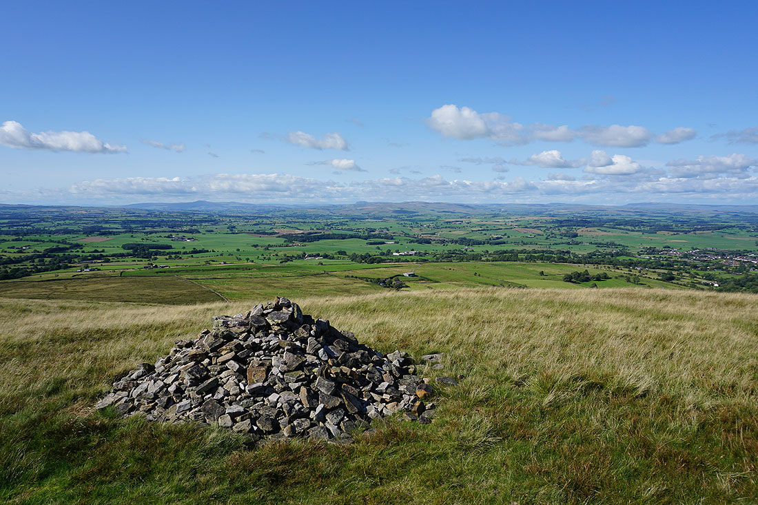
Looking north across the Ribble Valley to Ingleborough and Penyghent
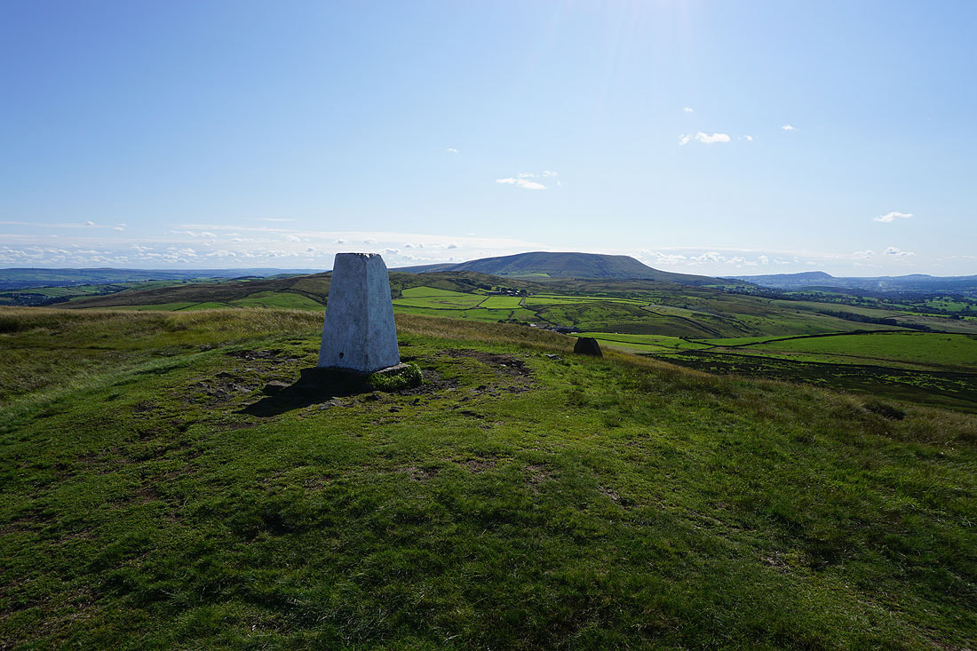
Pendle Hill from the trig point on Weets Hill
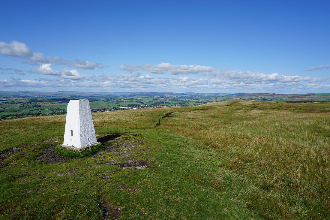
Great Whernside and Barden Moor to the northeast
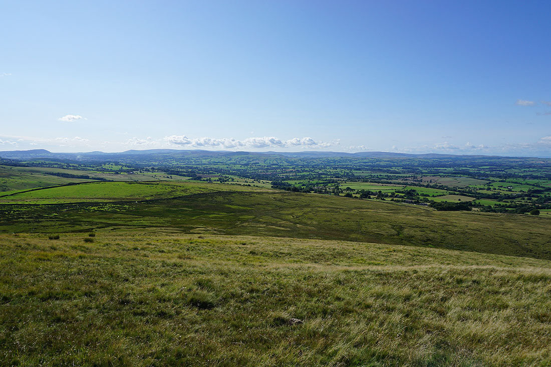
The Forest of Bowland in the distance on the other side of the Ribble Valley
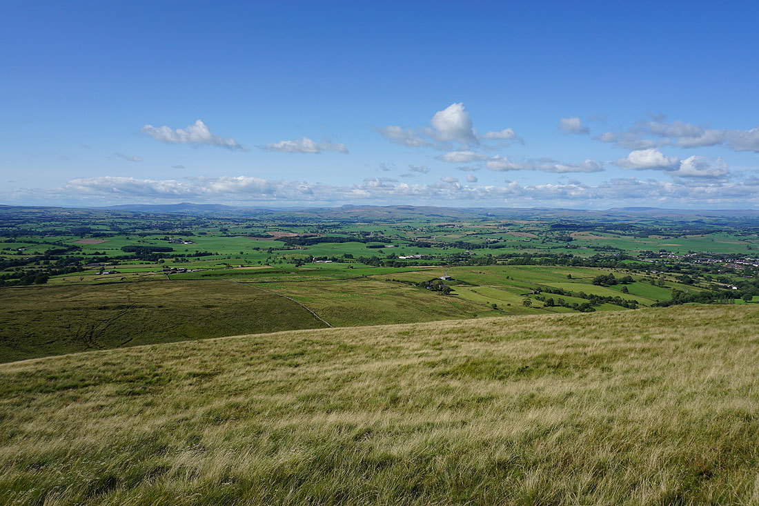
I can't resist taking more photos of the view north to Ingleborough and Penyghent..
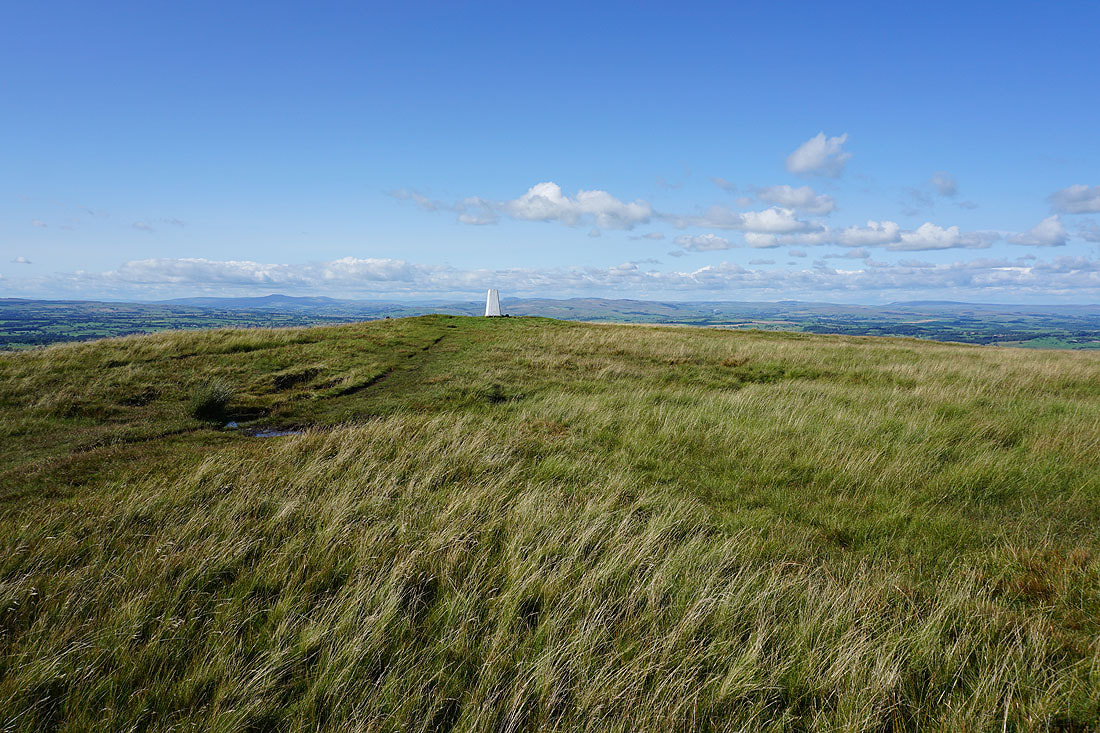
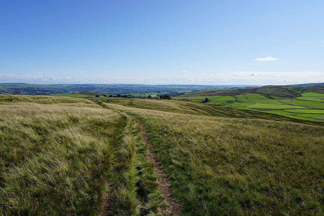
Heading for Weets House Farm
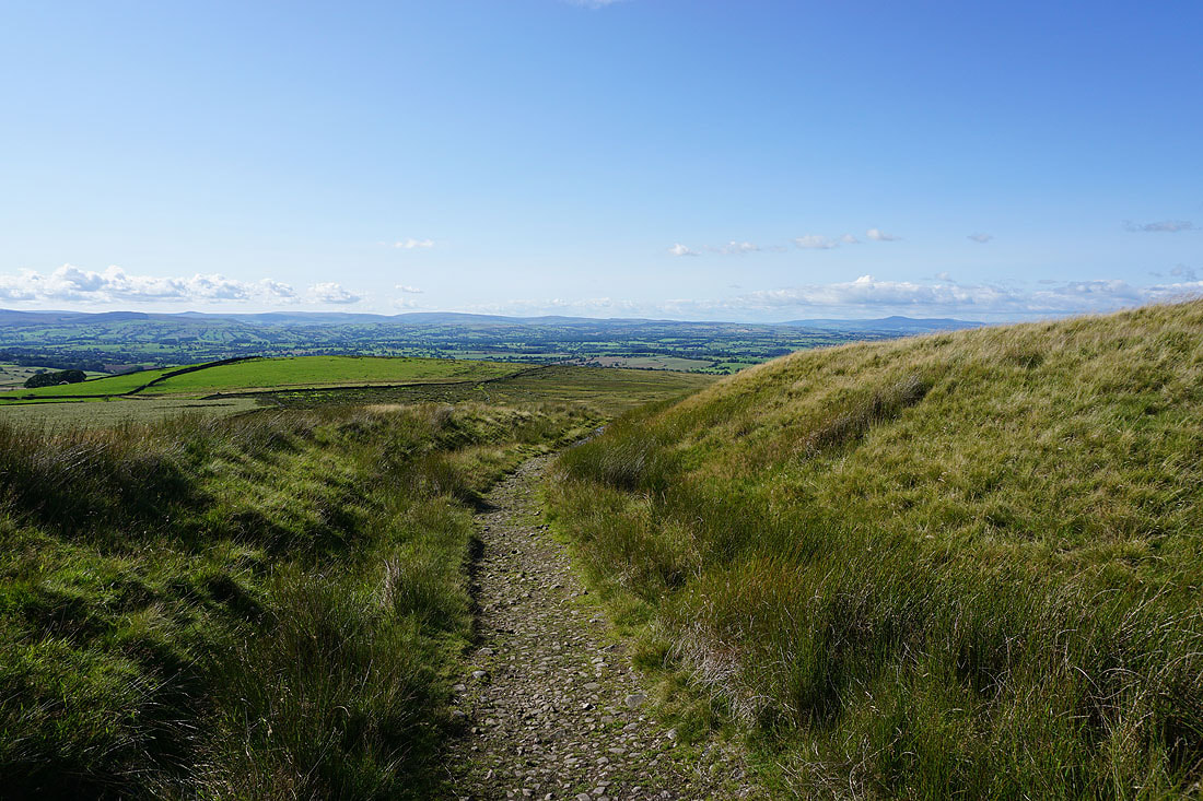
Looking across the Ribble Valley to the Forest of Bowland and Ingleborough from the top of the Pennine Bridleway at Weets House Farm
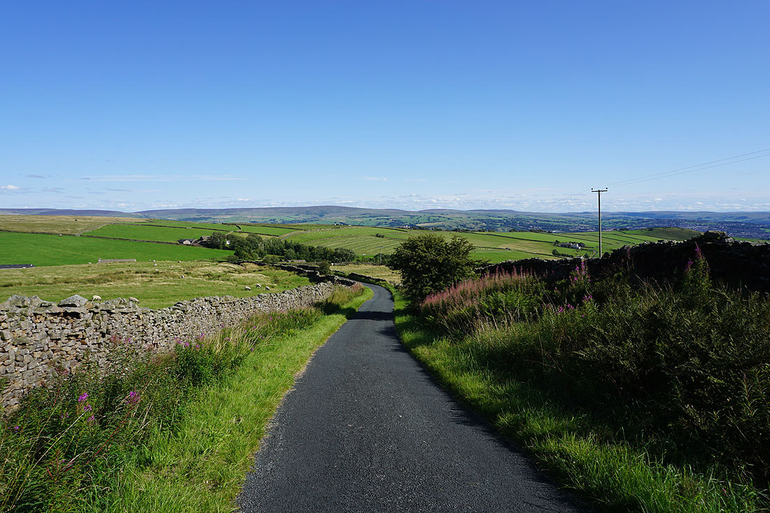
Heading down Gisburn Old Road with Boulsworth Hill in the distance
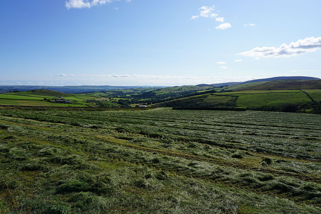
Blacko Hill, the Forest of Pendle and Pendle Hill as I follow the Pendle Way towards Blacko Hill..
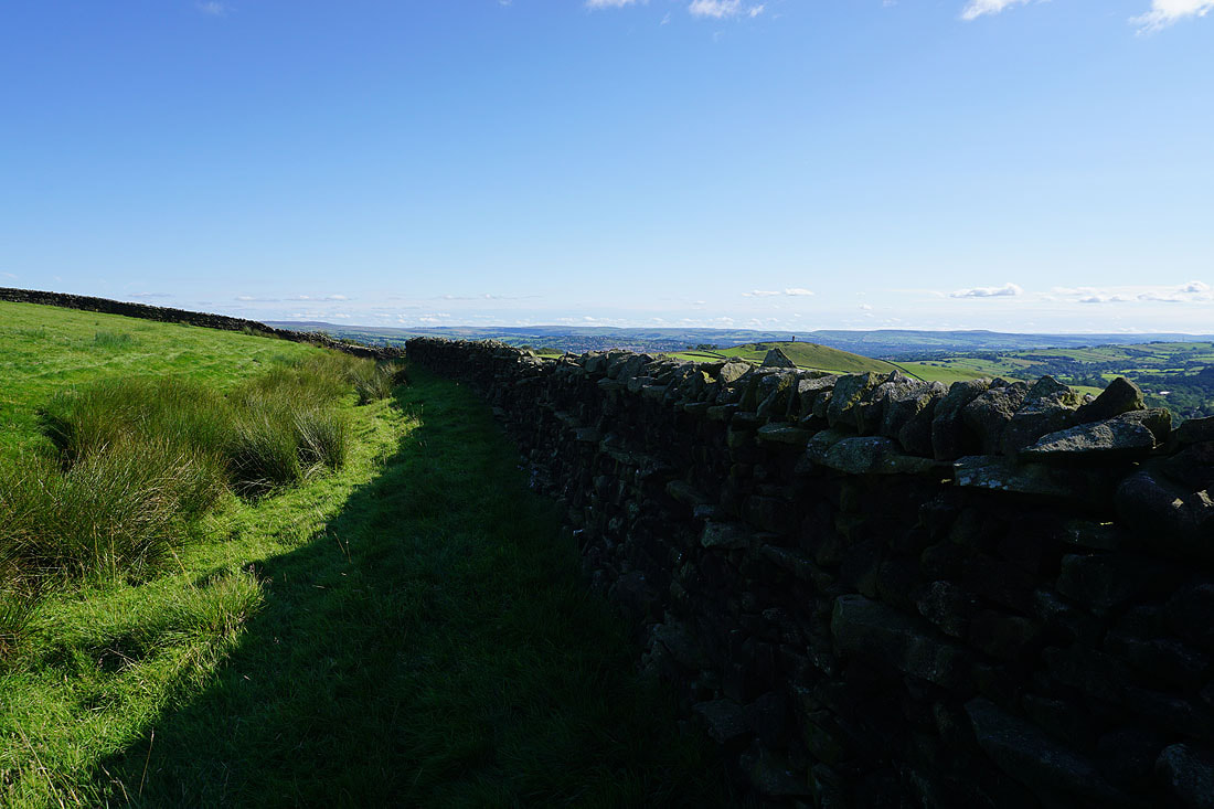
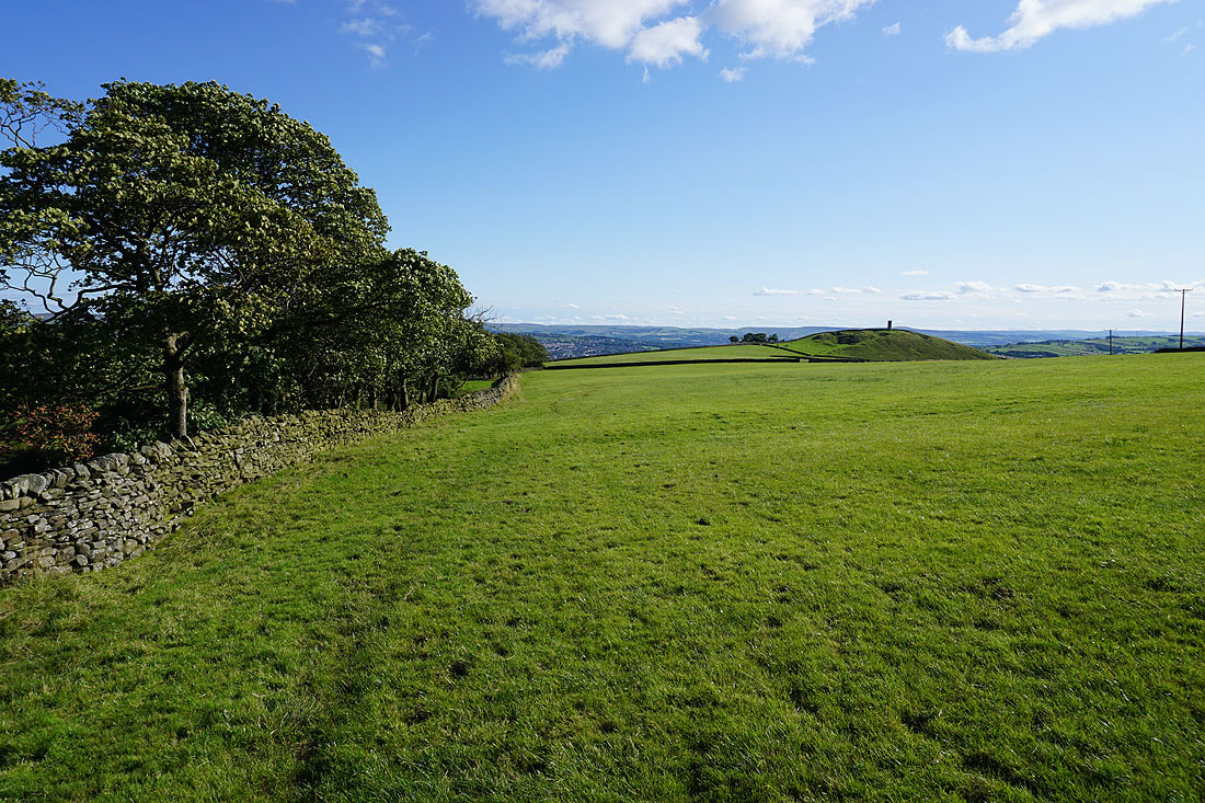
On Blacko Hill
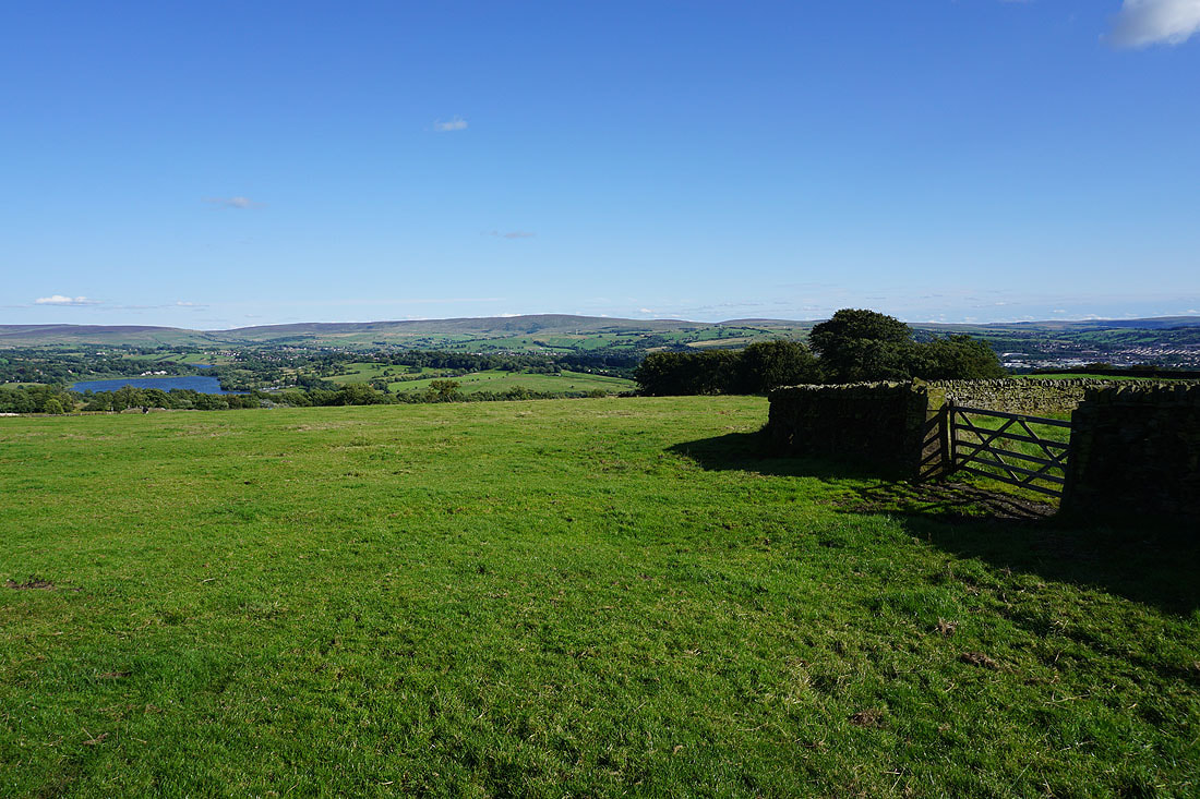
Ickornshaw Moor, Foulridge Lower Reservoir, and Boulsworth Hill in the distance as I head down from Blacko Hill..
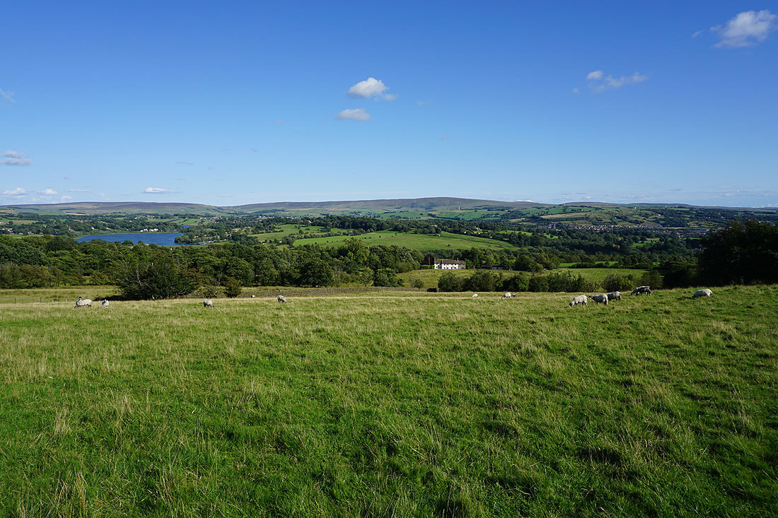
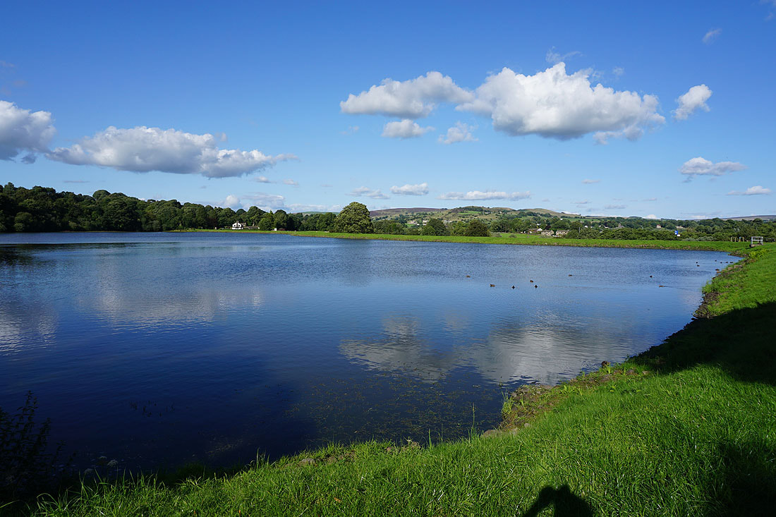
Making my way round Slipper Hill Reservoir..
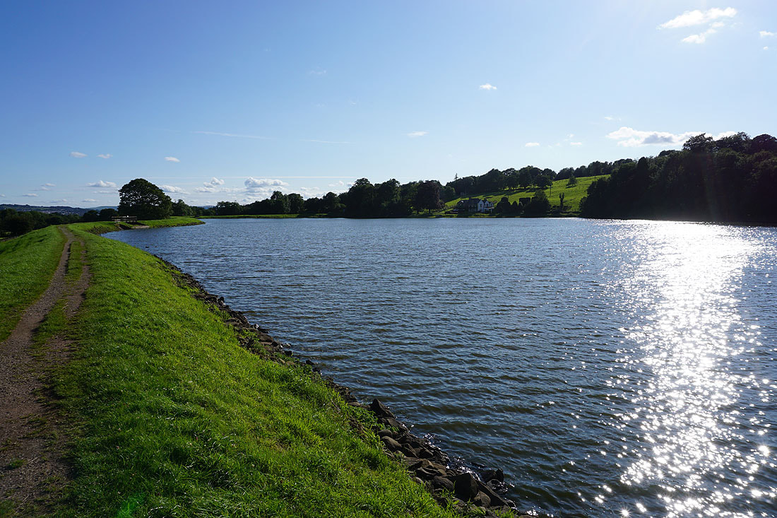
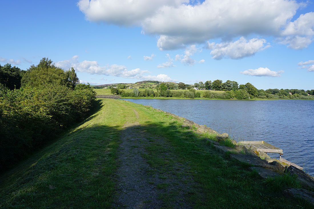
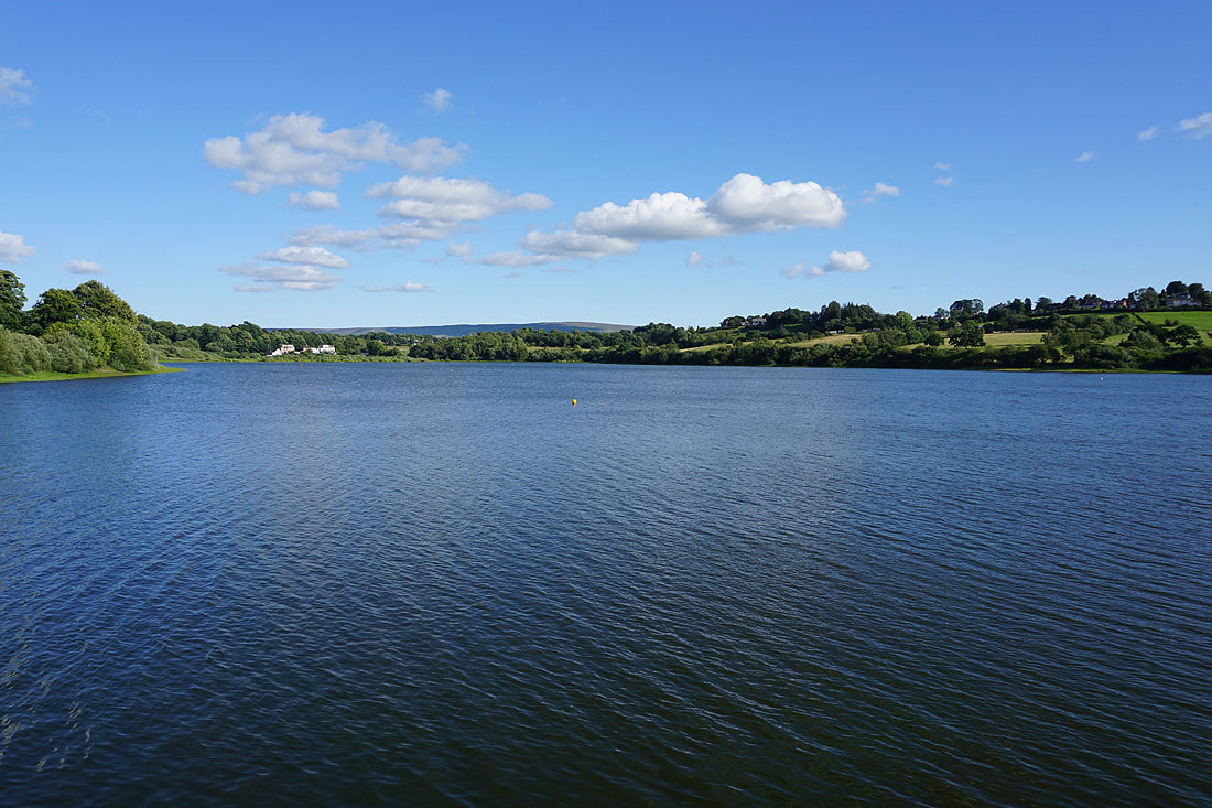
Making my way round Foulridge Lower Reservoir..
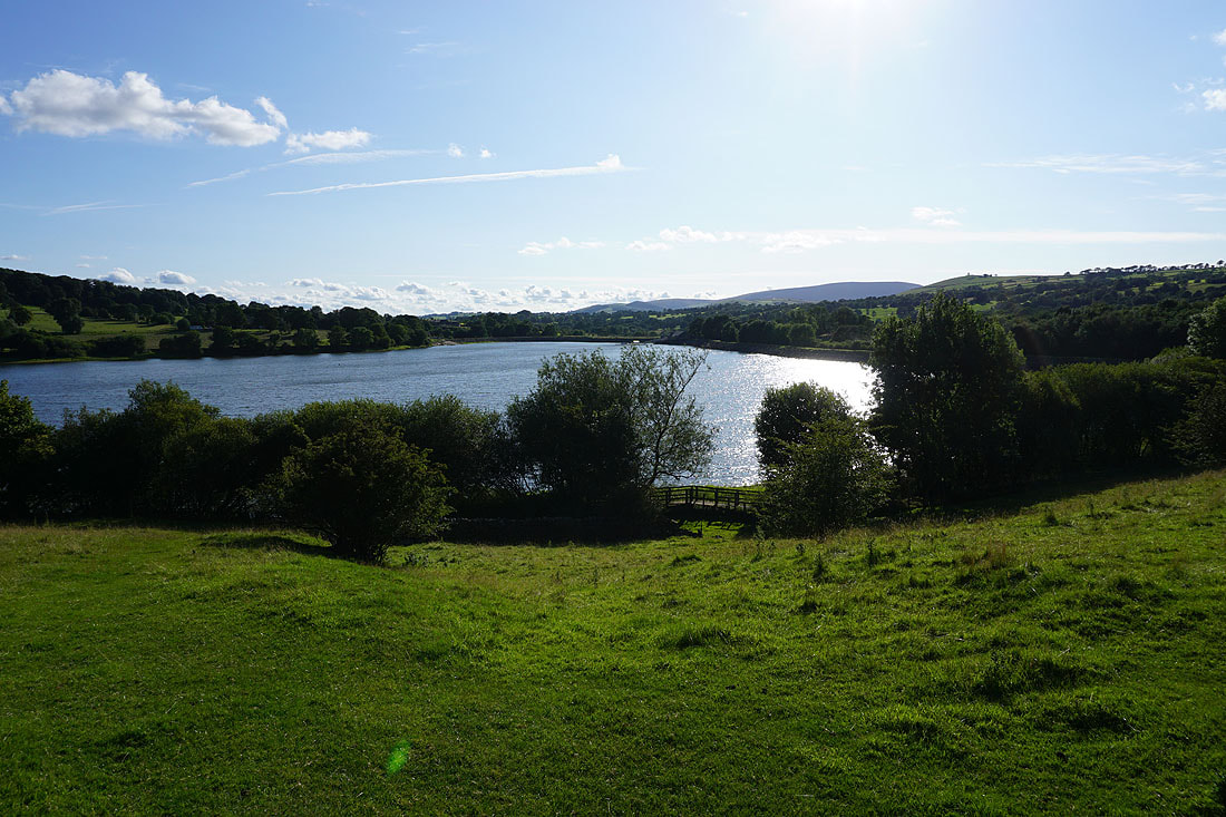
Pendle Hill in the distance on the right as I leave Foulridge Lower Reservoir..
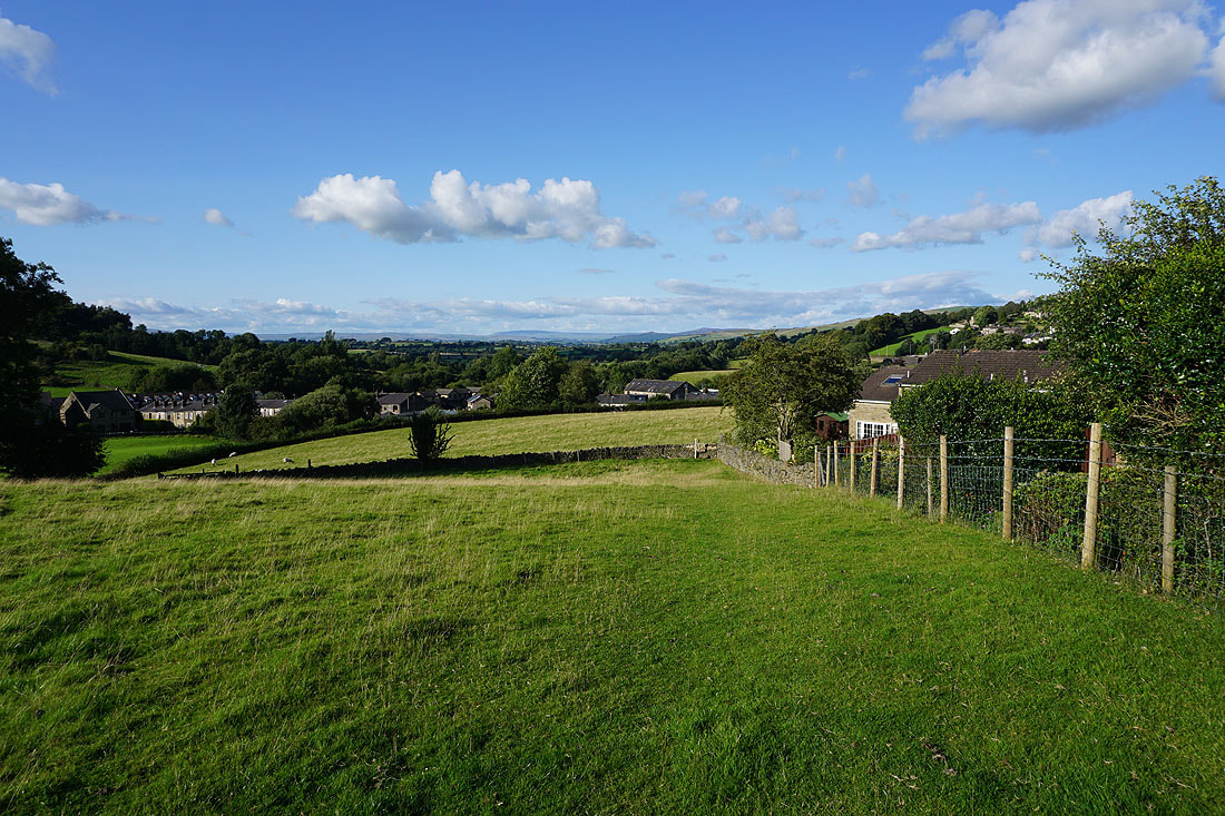
..and head back to Foulridge and home