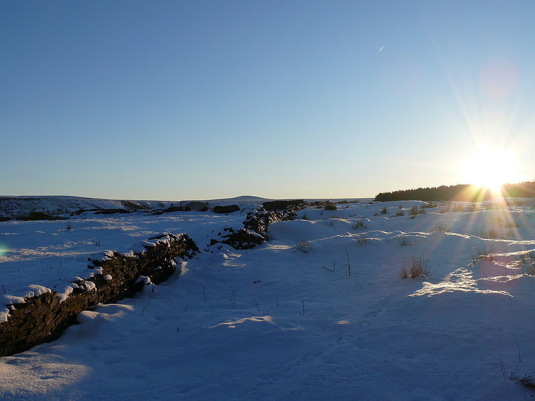
8th December 2010 - Hog Lowe Pike
Walk Details
Distance walked: 3.2 miles
Total ascent: 740 ft
OS map used: 287 - West Pennine Moors
Time taken: 2 hrs
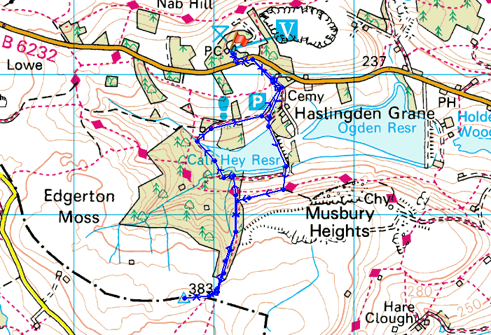
Route description: Clough Head, Haslingden Grane-Calf Hey Reservoir-Hog Lowe Pike-Calf Hey Reservoir-Clough Head, Haslingden Grane
A walk from the car park at Clough Head, Haslingden Grane up to Hog Lowe Pike in the West Pennine Moors and back.
Route map
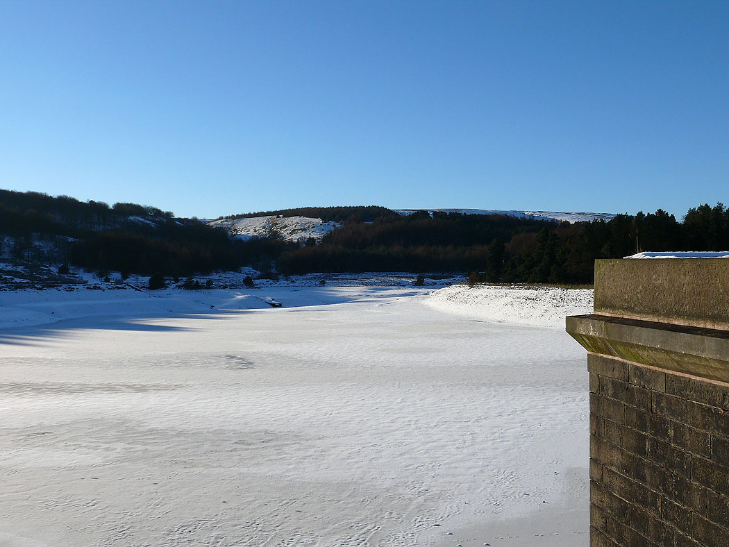
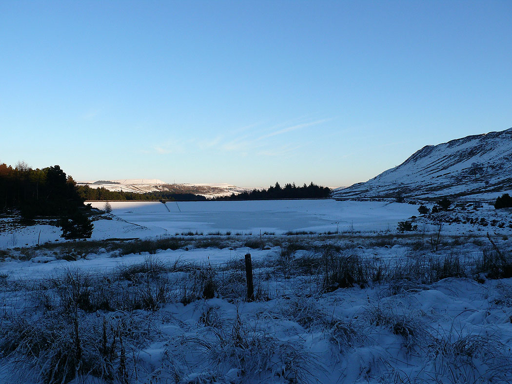
A frozen Calf Hey Reservoir
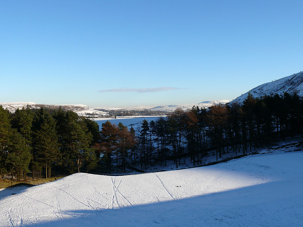
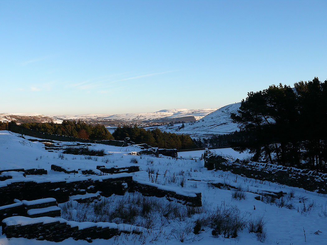
Ogden Reservoir behind the trees
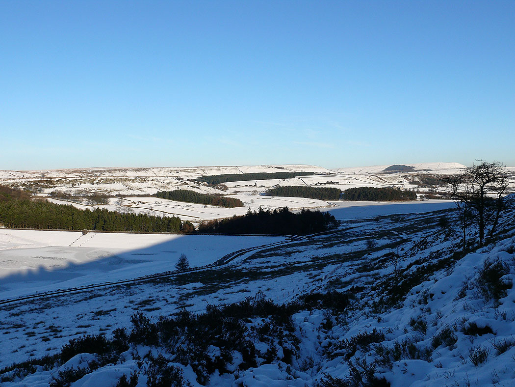
Heading up to Hog Lowe Pike
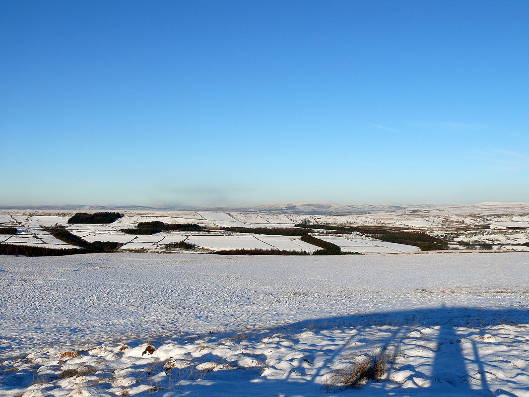
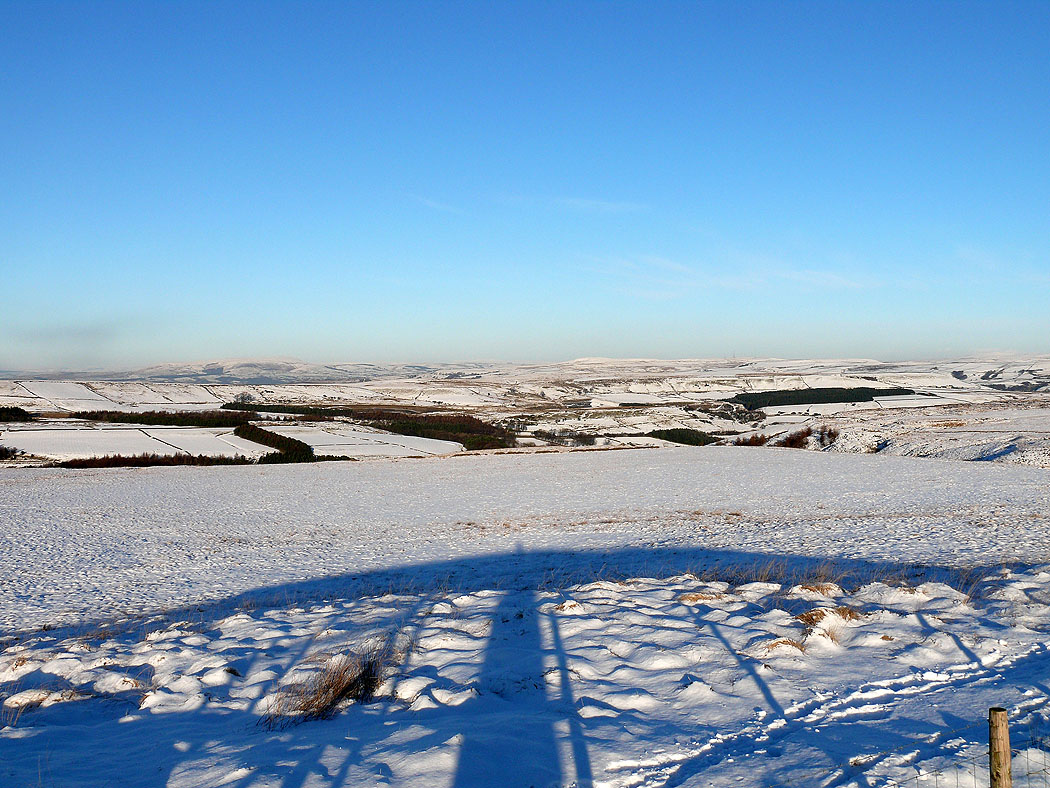
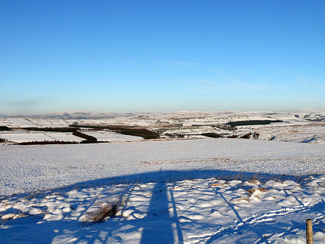
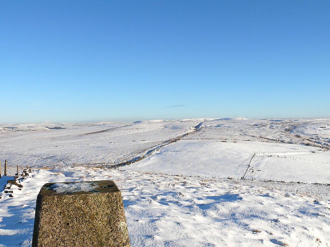
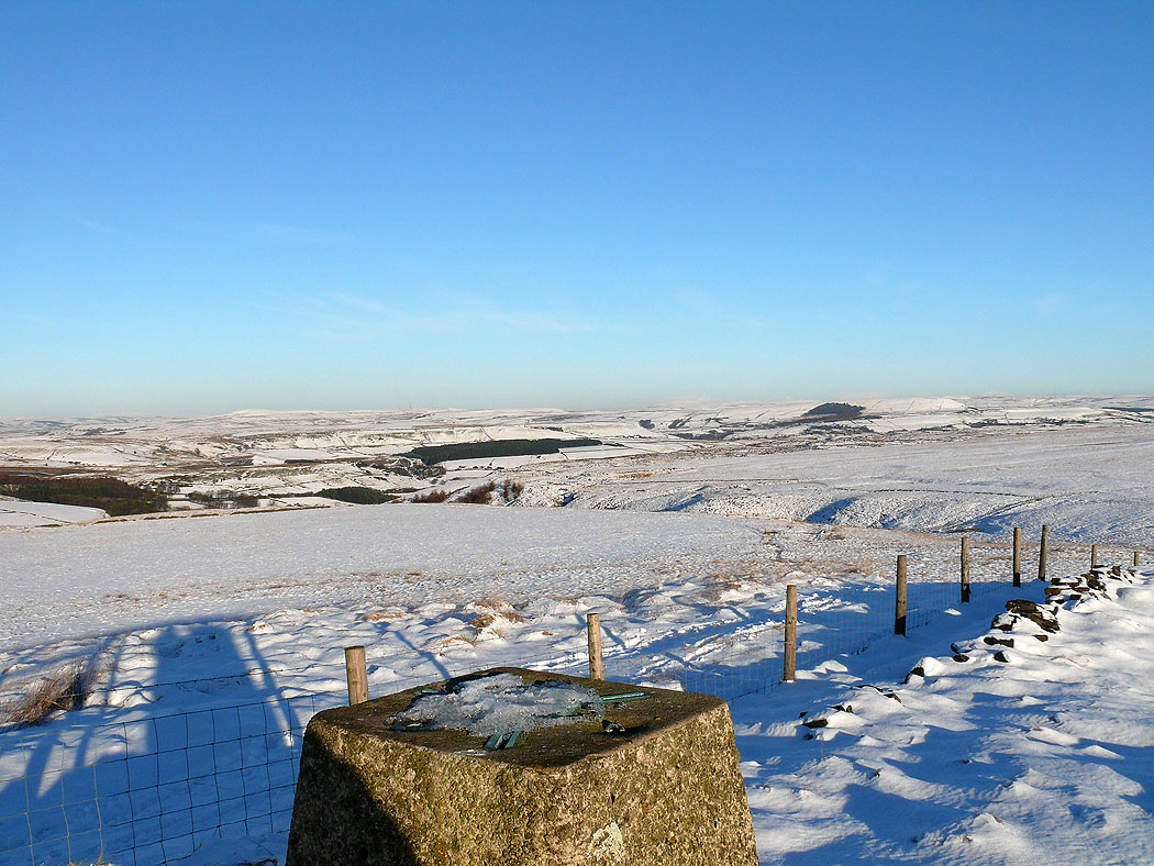
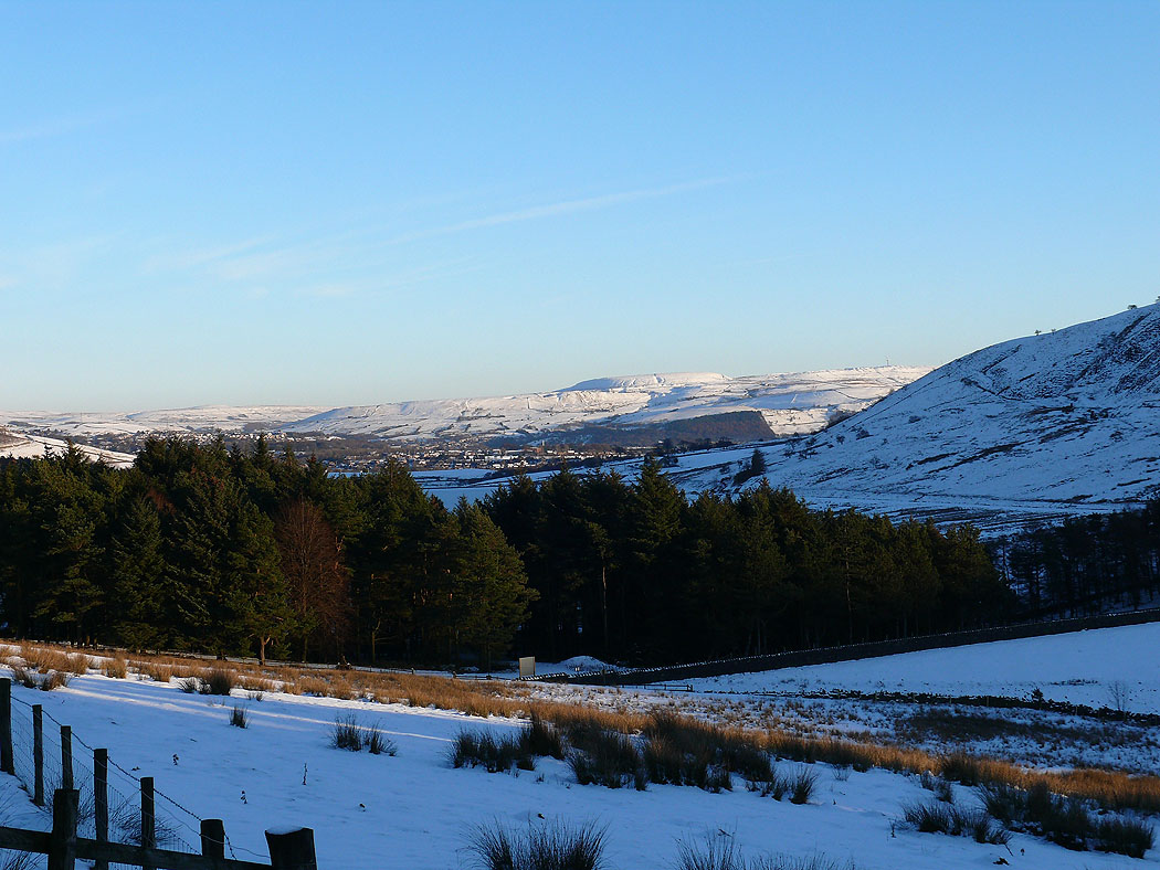
On Hog Lowe Pike. Pendle Hill in the distance in the middle of the picture.
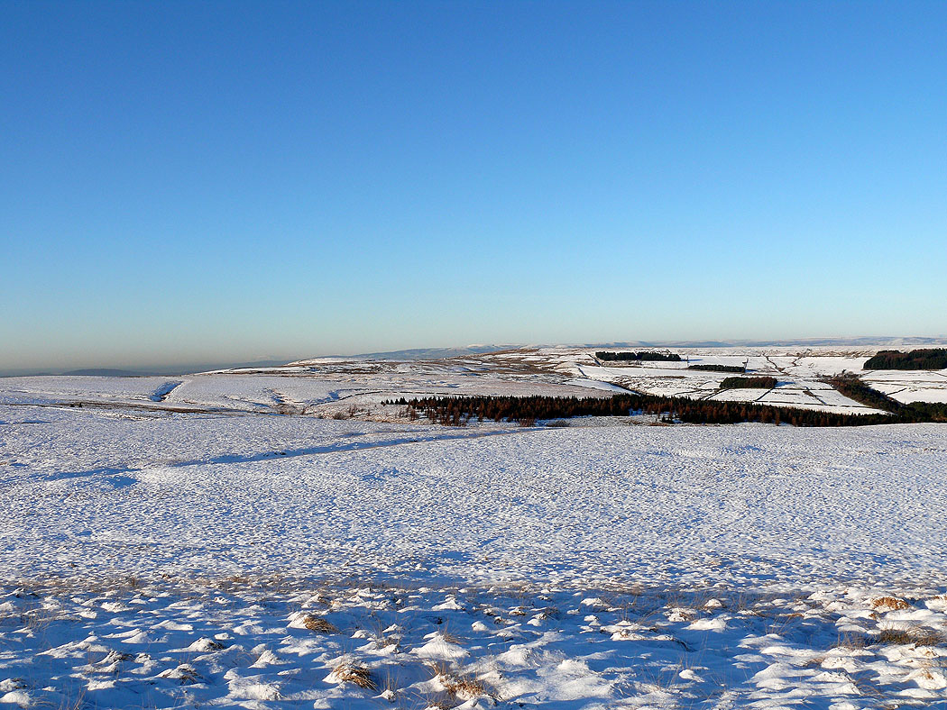
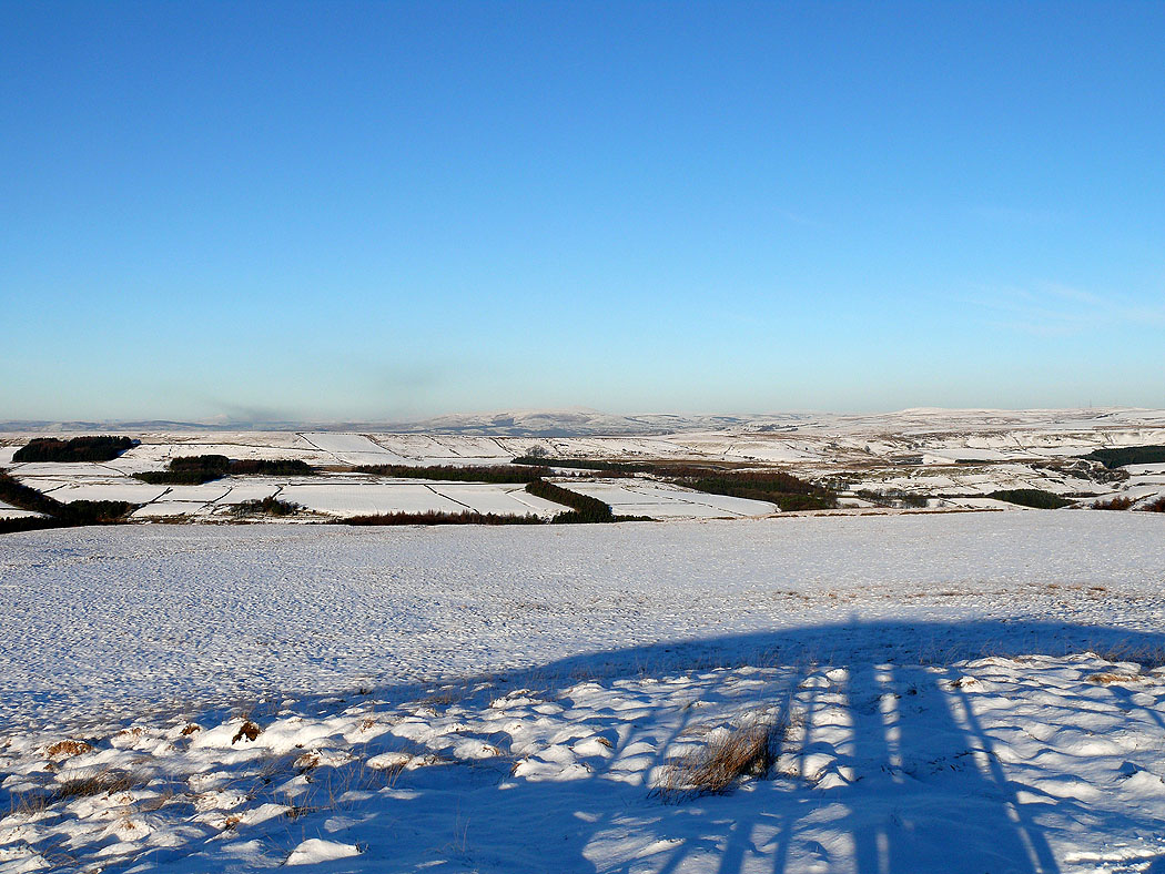
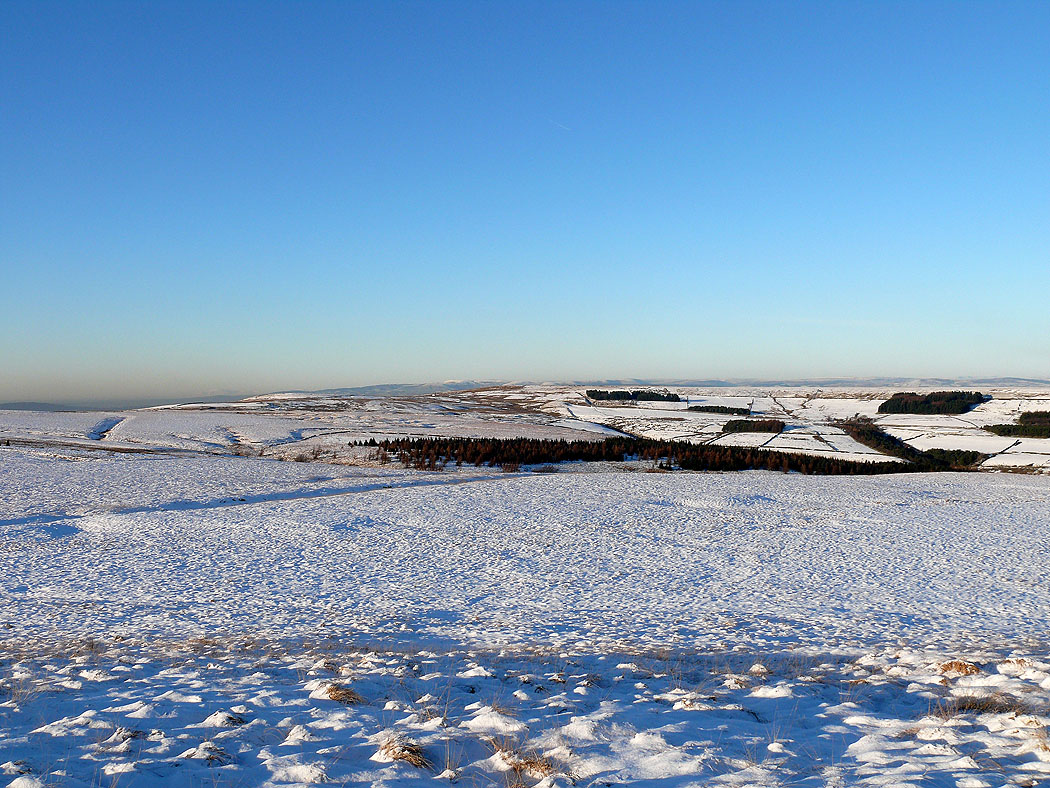
The Forest of Bowland is the distant skyline in the middle of the picture
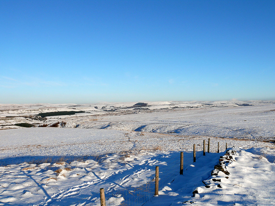
West Pennine Moors..
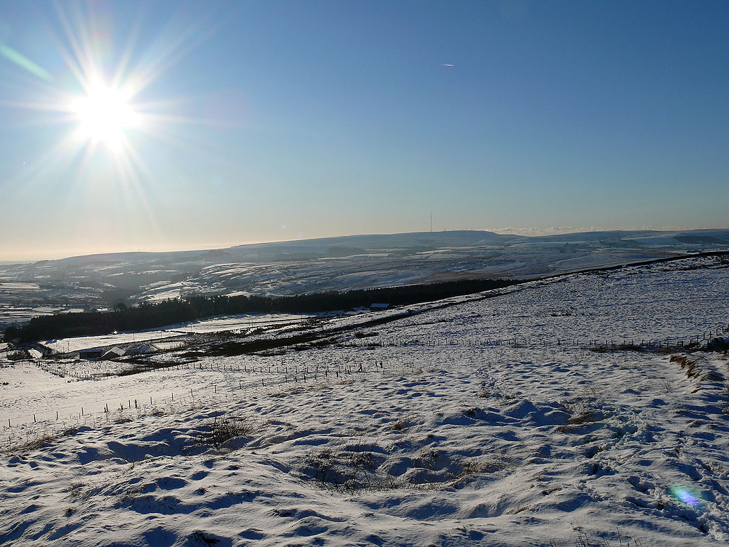
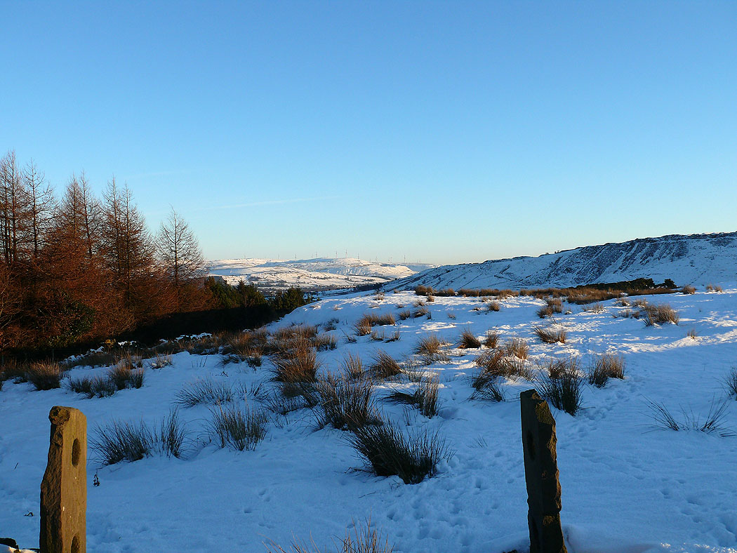
The view across to Winter Hill
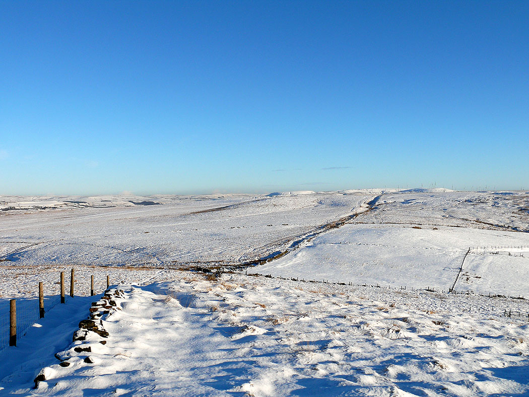
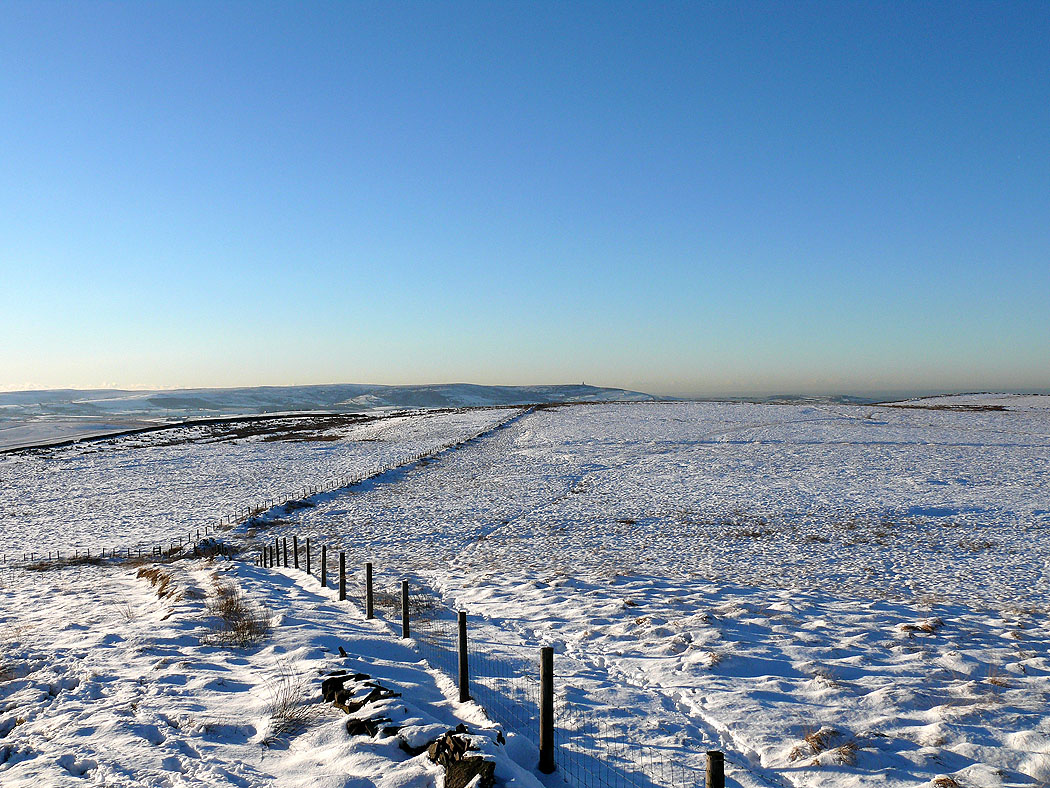
Darwen Tower can be seen in the distance
Back at Calf Hey Reservoir
Hog Lowe Pike is the hill in the middle of the picture
