8th February 2020 - Malham Tarn to Ribblesdale and back
Walk Details
Distance walked: 12.2 miles
Total ascent: 2094 ft
OS map used: OL2 - Yorkshire Dales, Southern & Western areas
Time taken: 6 hrs
Route description: Malham Tarn car park-Dean Moor Hill-Langscar Gate-Pennine Bridleway-Brent Scar-Warrendale Knotts-Dales High Way-Pennine Bridleway-Nappa Cross-Fair Sleets Gate-Cove Road-Malham Cove-Pennine Way-Malham Tarn car park
After a couple of weekends of pretty poor weather there's a reasonable day at last for getting out for a walk. I decided to do a route that would make use of the bridleways that cross the moors between Malhamdale and Ribblesdale, one that I've done on a few previous occasions, with minor variations. It may have been quite a long walk to be doing at this time of year with the days still as short as they are, but with so much of it being on good paths and bridleways a good pace could be set. As has been the case with all my walks so far this year, it was a windy day, increasingly so during the afternoon, but at least it stayed dry for the most part, except for a shower while on Warrendale Knotts, with a good amount of sunshine. I certainly appreciated that!
From the car park by the road past Malham Tarn I crossed the road and took the bridleway south across Dean Moor Hill to Cove Road and Langscar Gate. Here I picked up the Pennine Bridleway, and followed it west across the moors to Ribblesdale and Jubilee Cave. Just south of here I left the bridleway and took the footpath south beneath Victoria Cave, Brent Scar and Attermire Scar. I left this path to visit the trig point on Warrendale Knotts (with a stop for lunch) and then returned to it. Past Warrendale Knotts this path meets the Dales High Way, I turned left and followed this trail east to Stockdale Lane and onto the Pennine Bridleway, which took me east to the end of Stockdale Lane and up onto the moorland to the north of Rye Loaf Hill and Kirkby Fell. I left the Pennine Bridleway for the bridleway down to Fair Sleets Gate and Cove Road (I went to have a look at Nappa Cross before doing so), and then I walked down Cove Road to reach a public footpath on the left, which I followed uphill onto access land. Once an intervening wall was out of the way I made my way across to the top of Malham Cove, and from there I followed the Pennine Way north and back to the car park by the road past Malham Tarn.
Route map
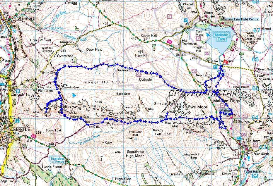
© Crown copyright. All rights reserved. License number PU 100034184.
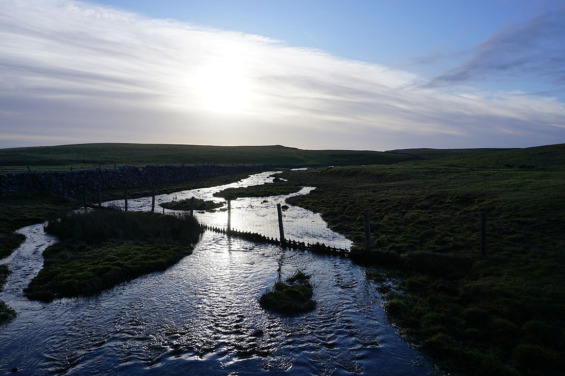
The beck from Malham Tarn flows towards Water Sinks as I set off from the car park next to the road past Malham Tarn
Looking back to Highfolds Scar above Malham Tarn and Great Close Hill as I follow the bridleway to Langscar Gate
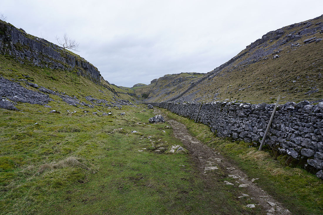
Comb Hill and Ing Scar Crag. The Pennine Way to Malham Cove heads down the valley between them.
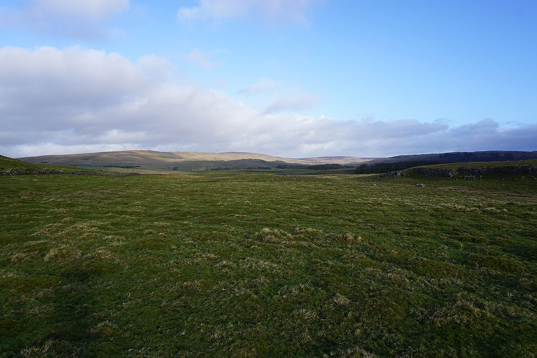
Knowe Fell, Fountains Fell and Darnbrook Fell to the north
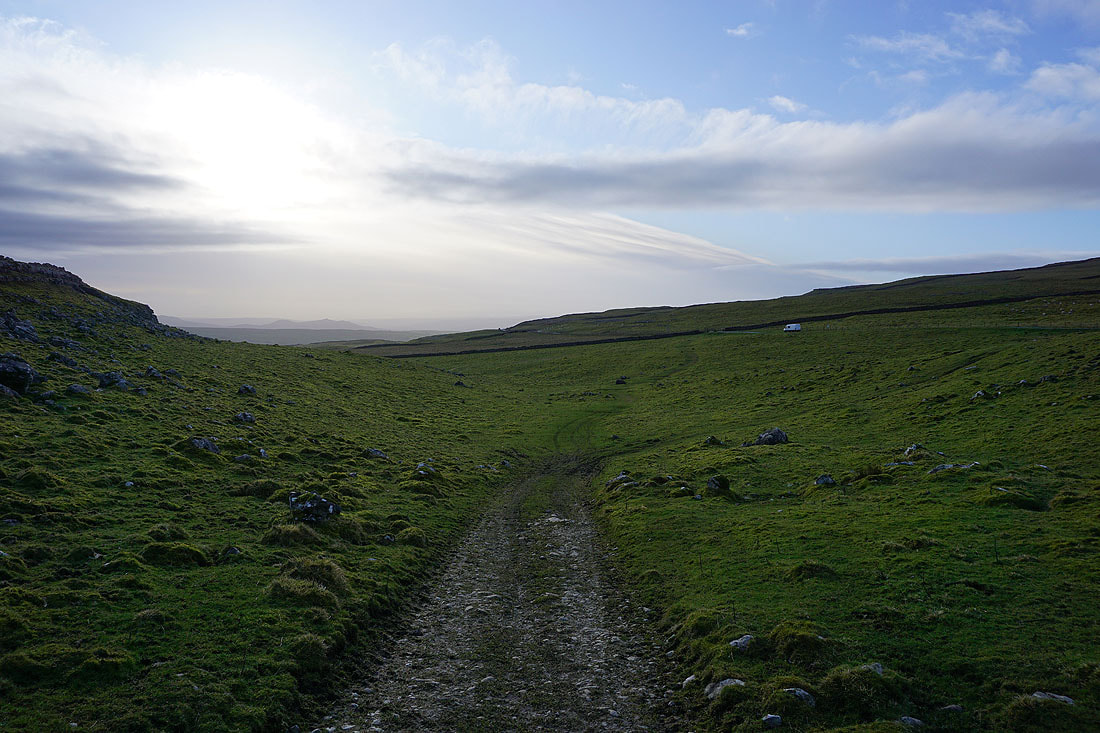
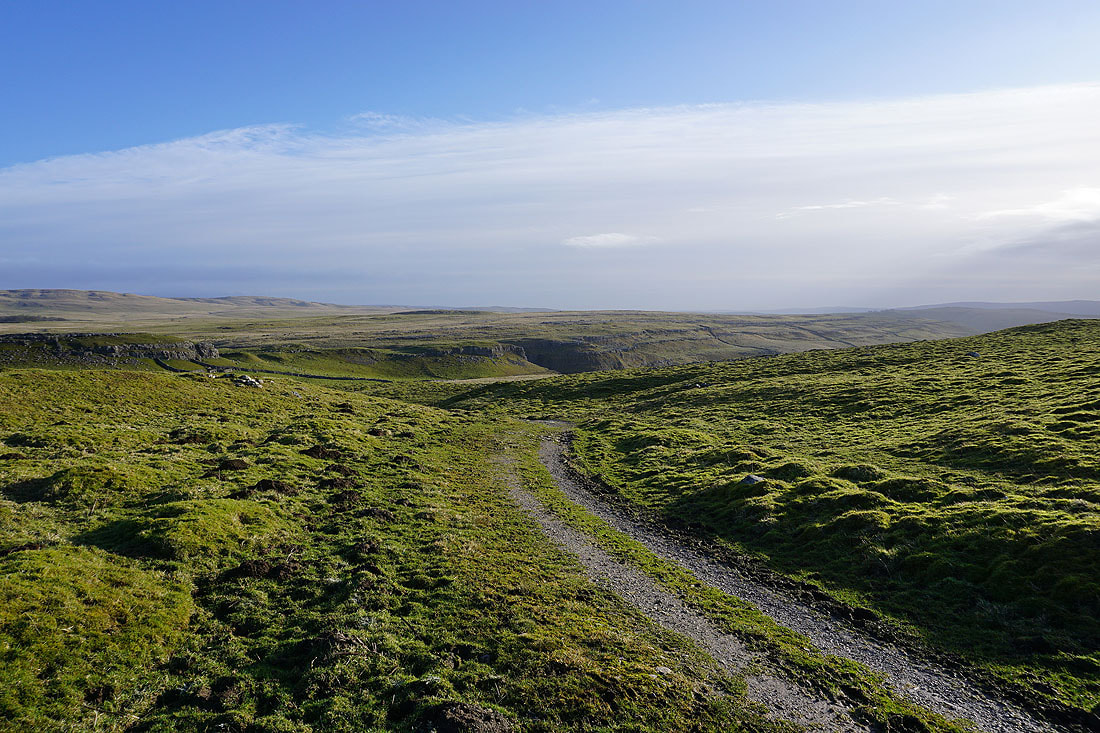
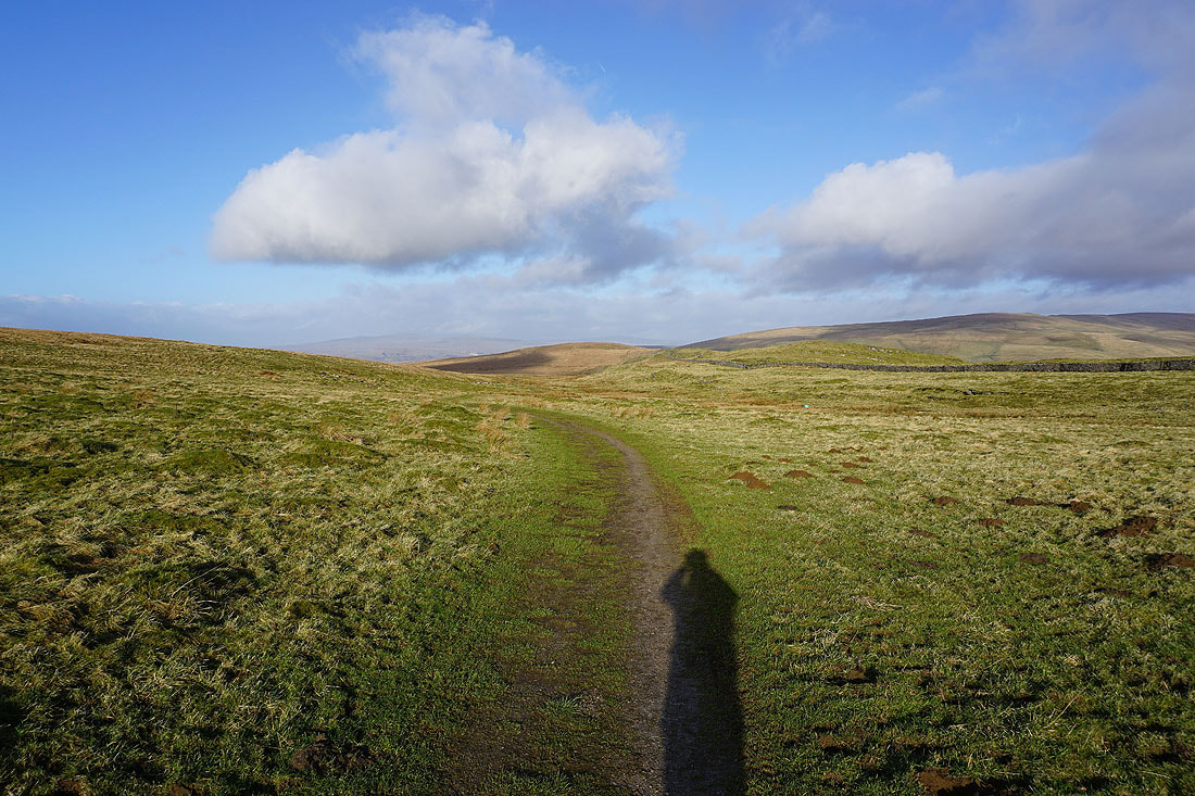
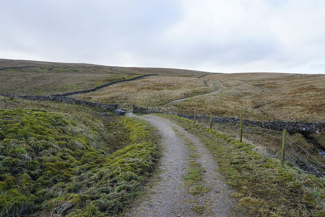
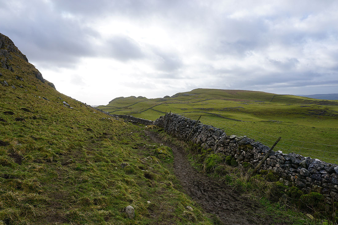
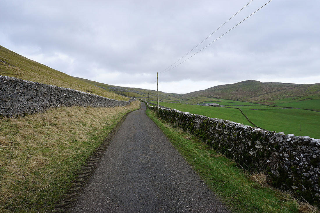
Langscar Gate and the Cove Road ahead
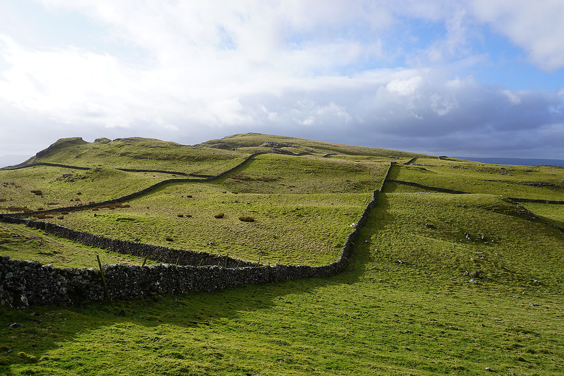
The limestone hills of Broad Scars and Broad Flats above Malham Cove
Langscar, Highfolds Scar, Malham Tarn and Great Close Hill from the bridleway above Langscar Gate
and looking back down the bridleway to the limestone pavement of Broad Scars on the other side of the Cove Road
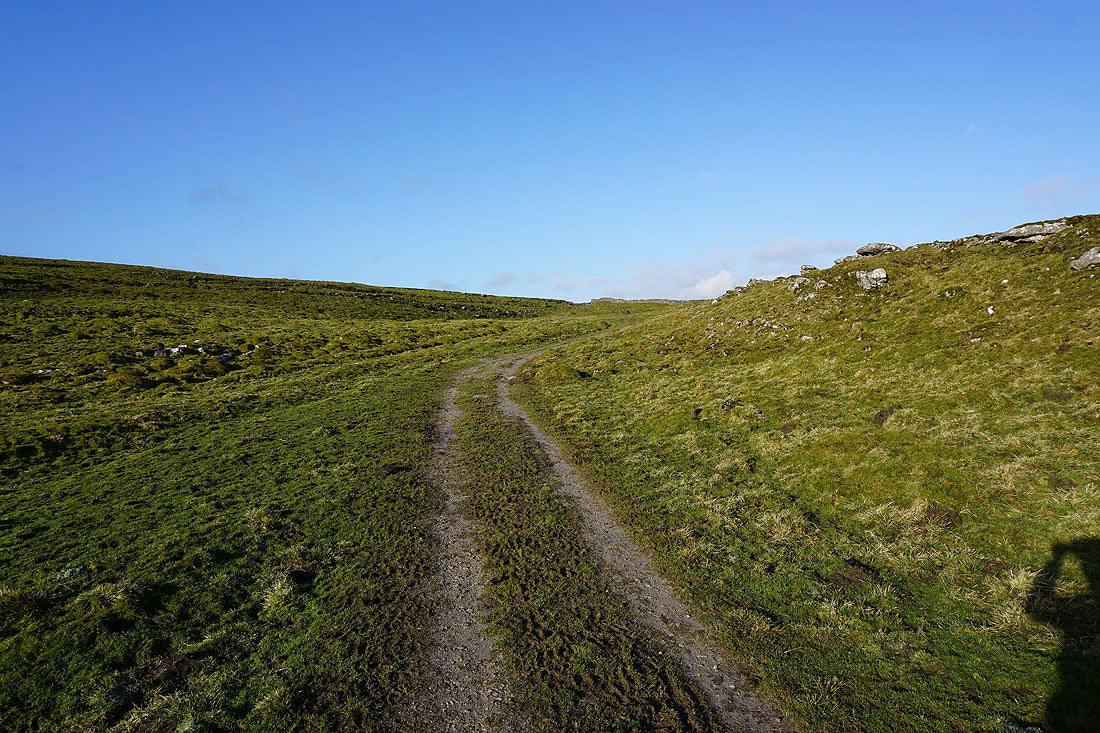
Heading west on the bridleway to Ribblesdale
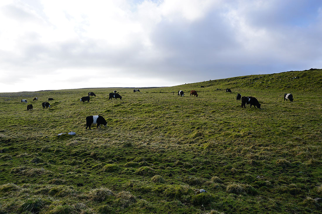
Belted Galloway cattle
As I near the top of the bridleway I get a great view to the east of Broad Scars and Weets Top when I look back
Ingleborough and the hills of Ribblesdale come into view..
Knowe Fell to the north
Down to, and across Cowside Beck..
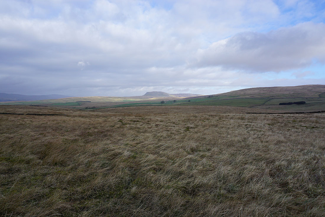
Penyghent is now in view
Looking back along the bridleway to Black Hill
Looking across Ribblesdale to Smearsett Scar and Ingleborough as the bridleway reaches Jubilee Cave
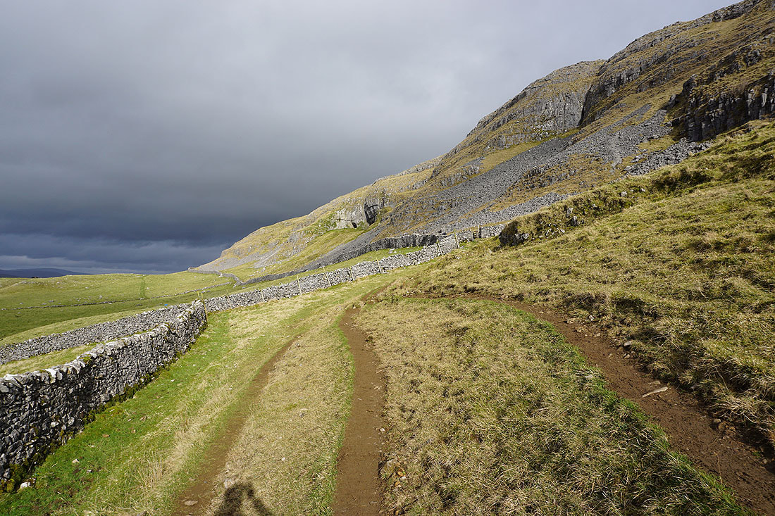
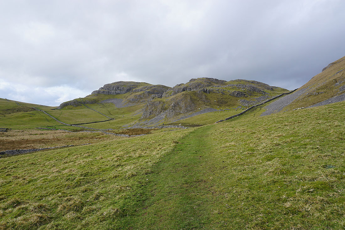
On the path to Attermire Scar with Warrendale Knotts on the right
Sunlit Warrendale Knotts
Looking back to Victoria Cave
The cave really stands out in the sunlit hillside as I head for Warrendale Knotts
The weather took a turn for the worse while I was on Warrendale Knotts as a shower passed through. While it wasn't that heavy, with a strong wind behind it it wasn't very pleasant, so I decided to shelter on the lee side of the hill until it cleared.
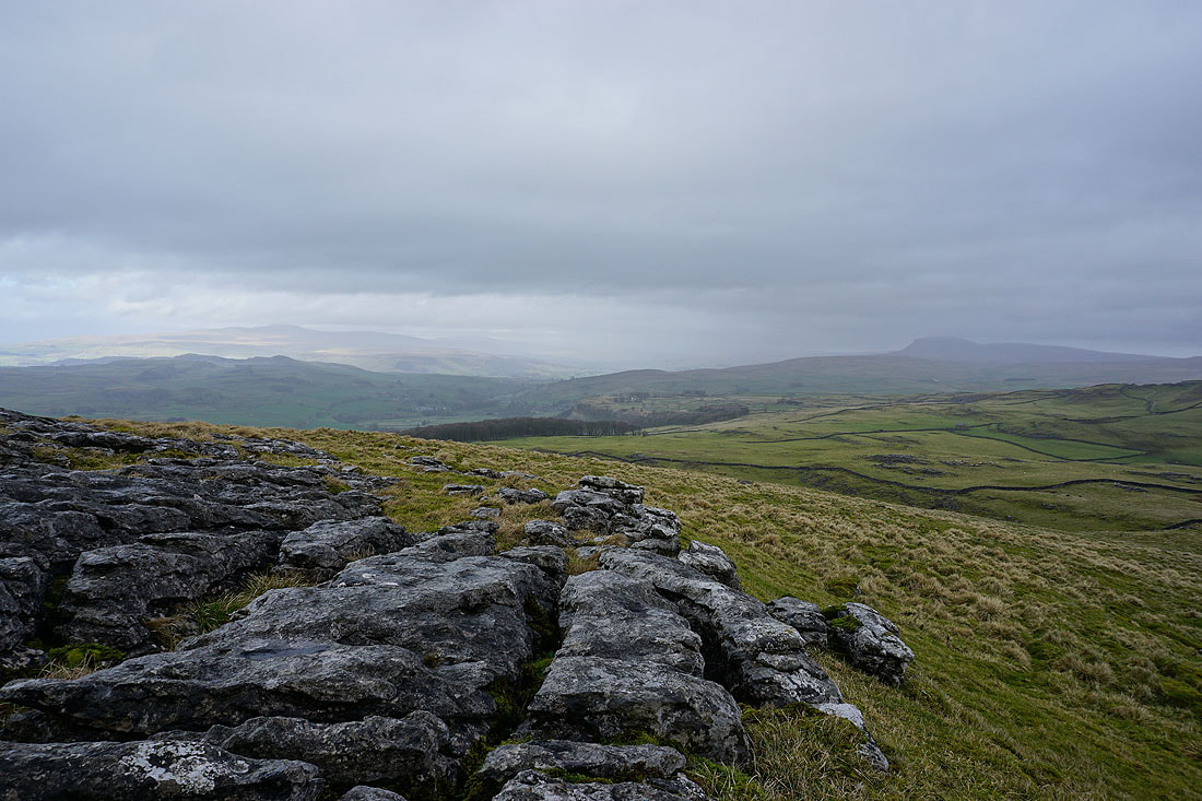
As it did I had a great view up Ribblesdale to Ingleborough and Penyghent with a developing patchwork of sunshine and cloud....
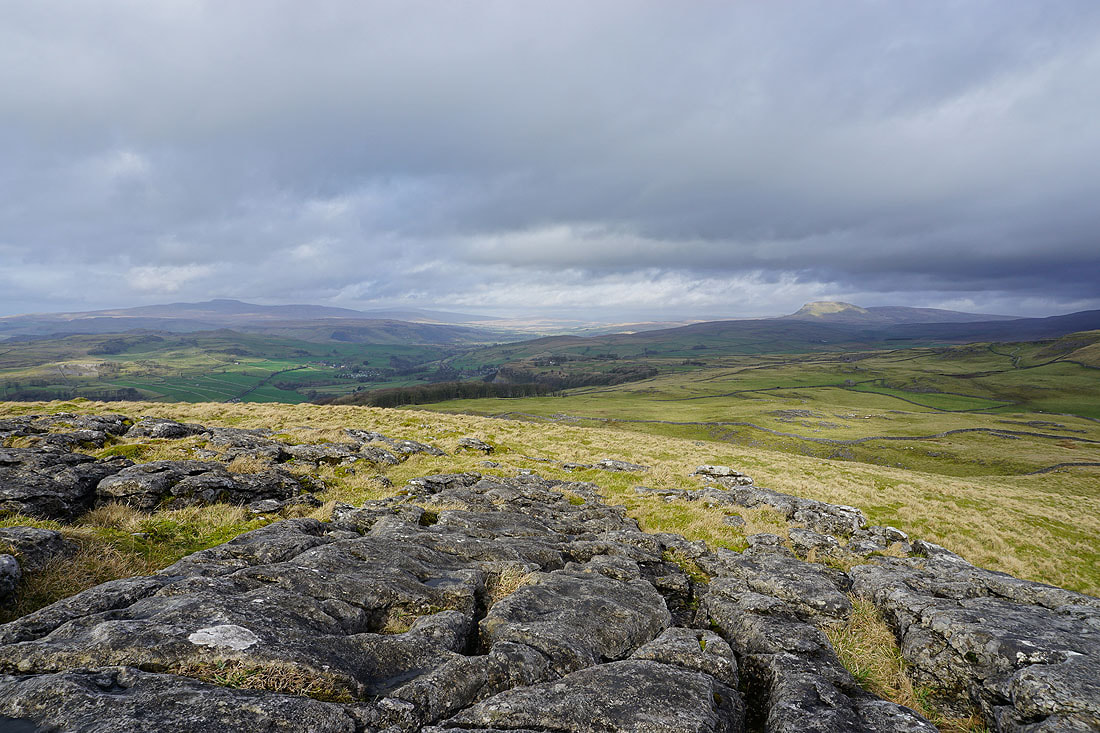
Pendle Hill in the distance from the trig point on Warrendale Knotts
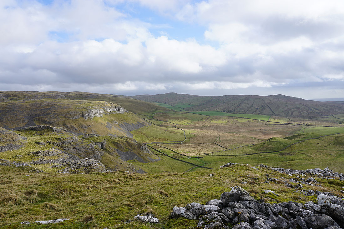
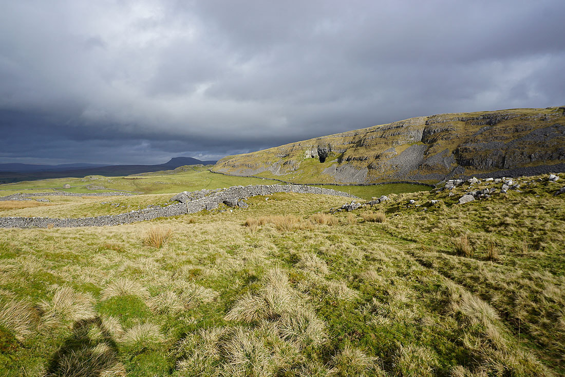
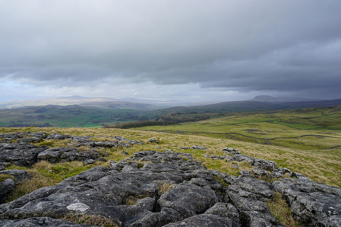
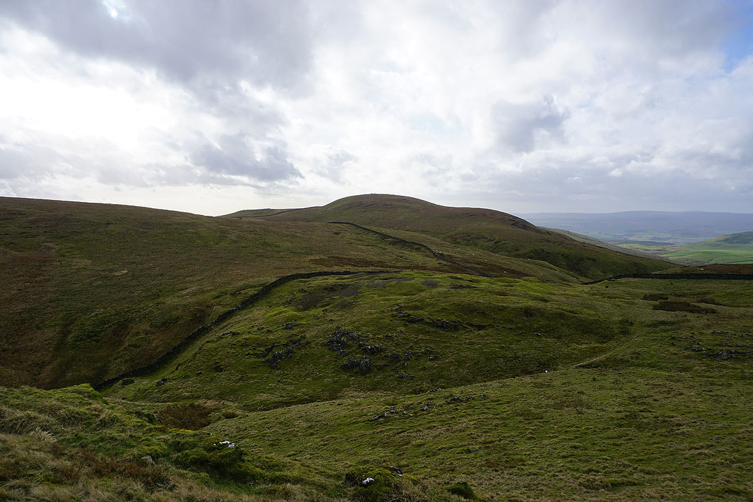
Attermire Scar and Rye Loaf Hill
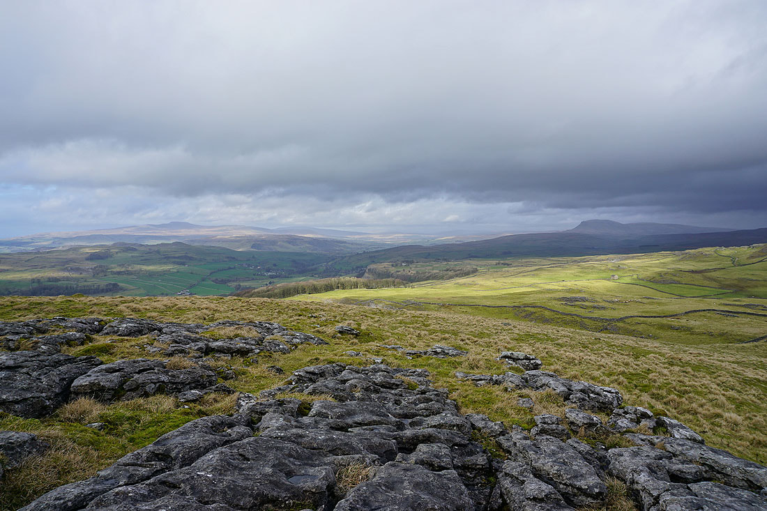
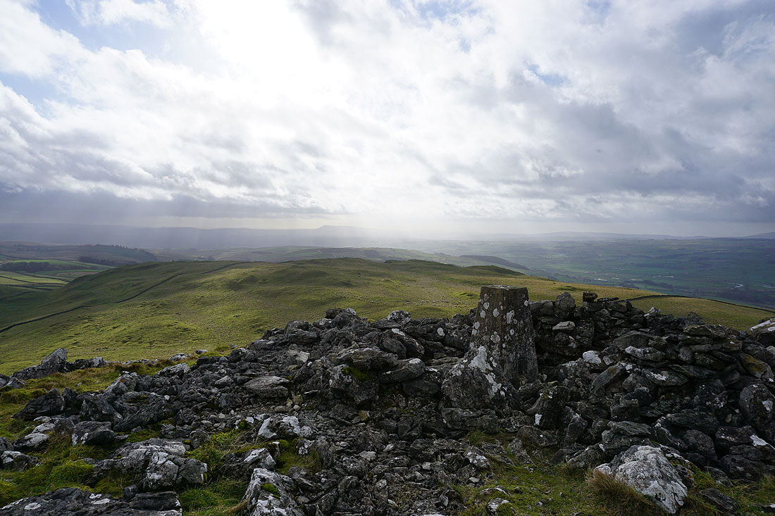
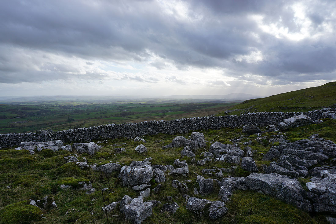
The Forest of Bowland in the distance with the town of Settle in Ribblesdale below
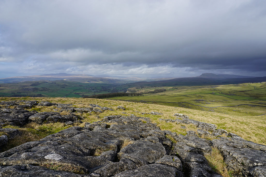
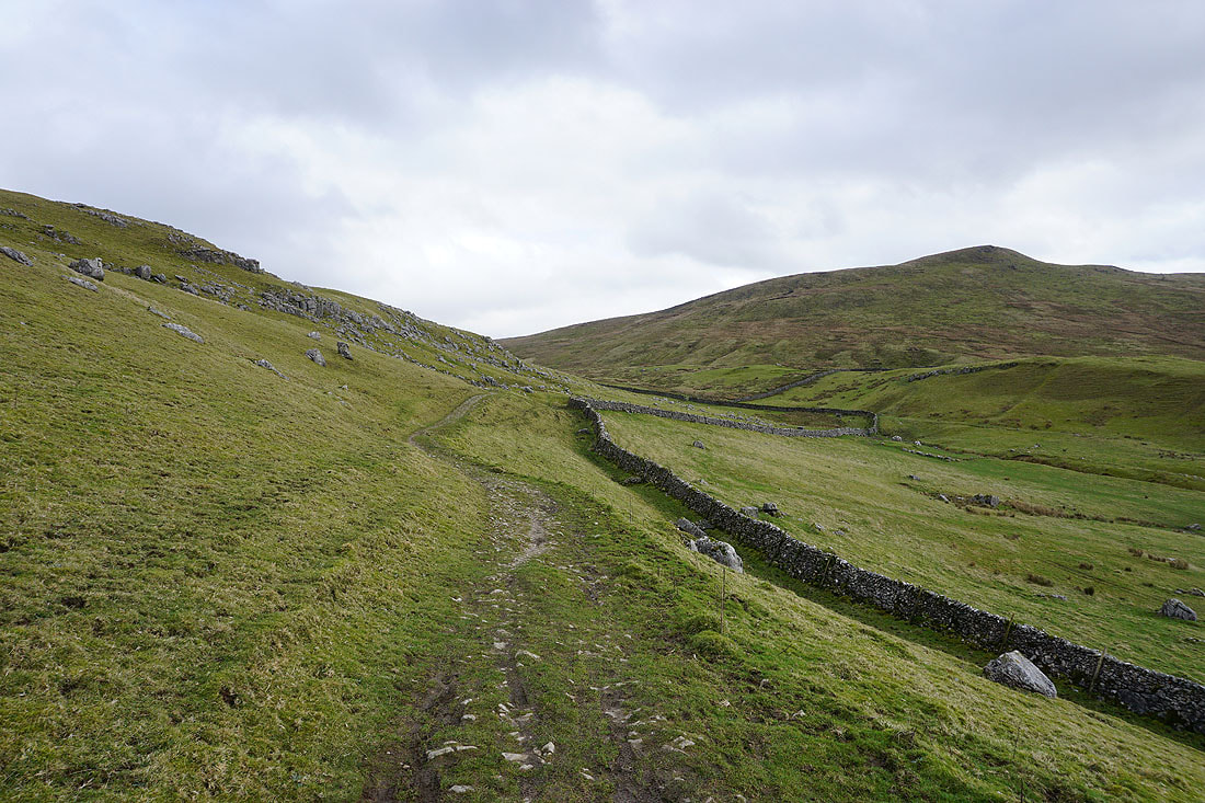
Looking back to Warrendale Knotts from the path to Stockdale Lane
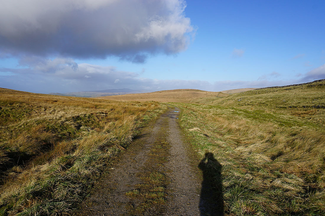
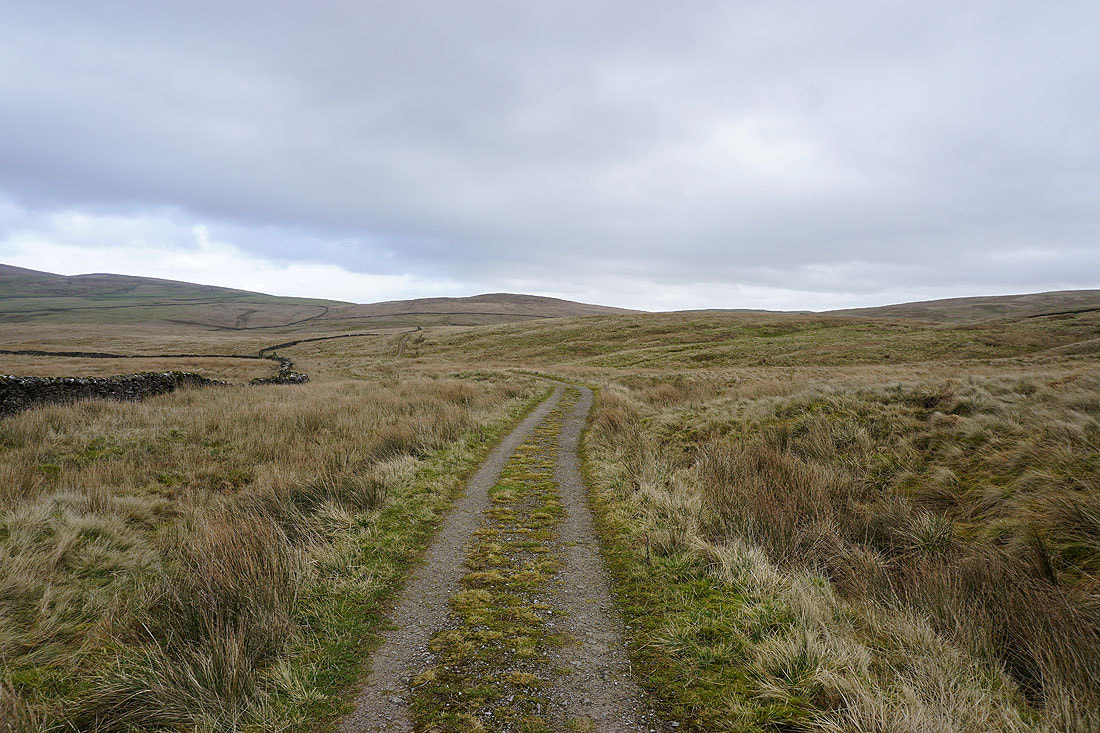
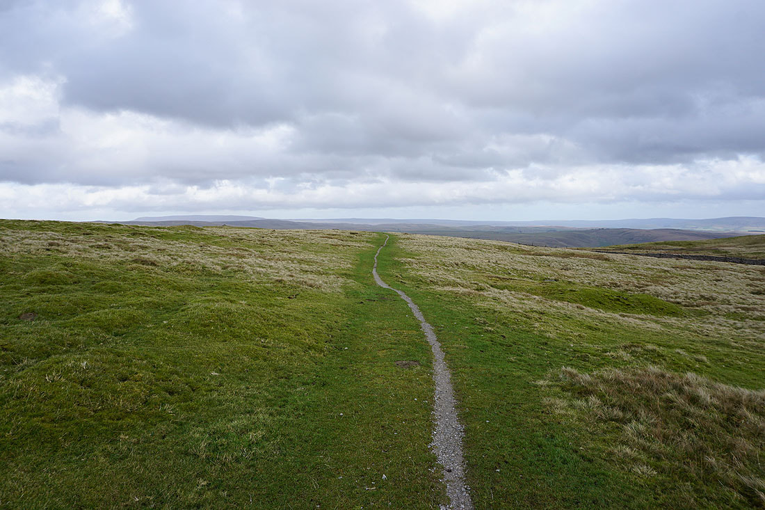
On the Pennine Bridleway up Stockdale Lane
and then to the top of Stockdale with Rye Loaf Hill to the right
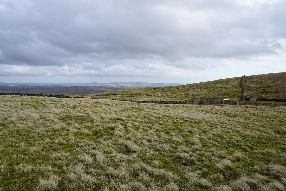
Looking back down Stockdale..
Rye Loaf Hill as the bridleway reaches its summit
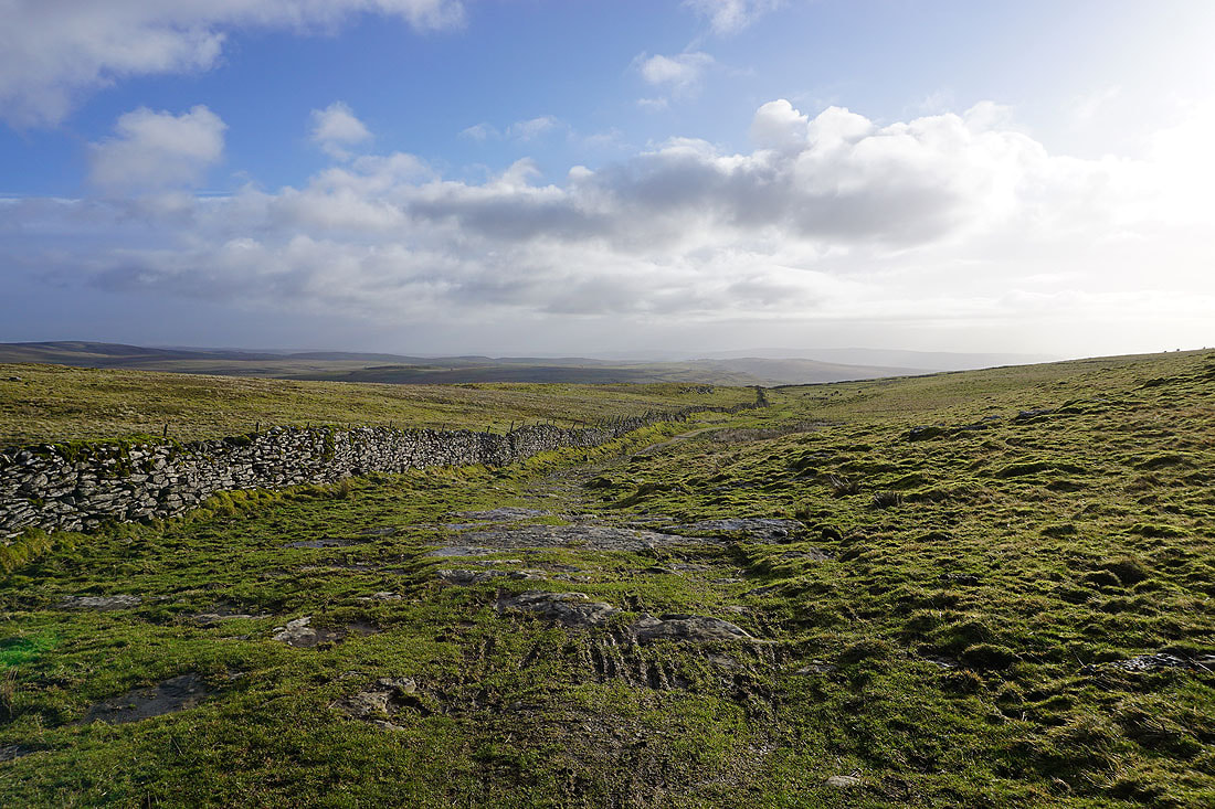
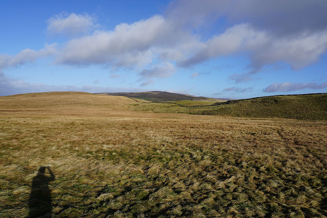
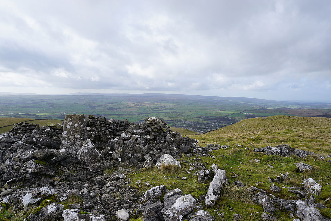
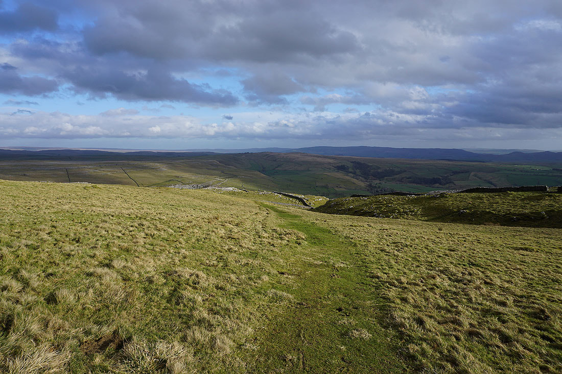
The moors around Malhamdale and Wharfedale come back into view..
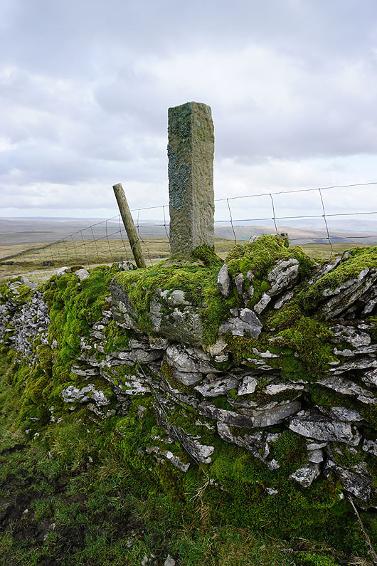
A short detour to see Nappa Cross
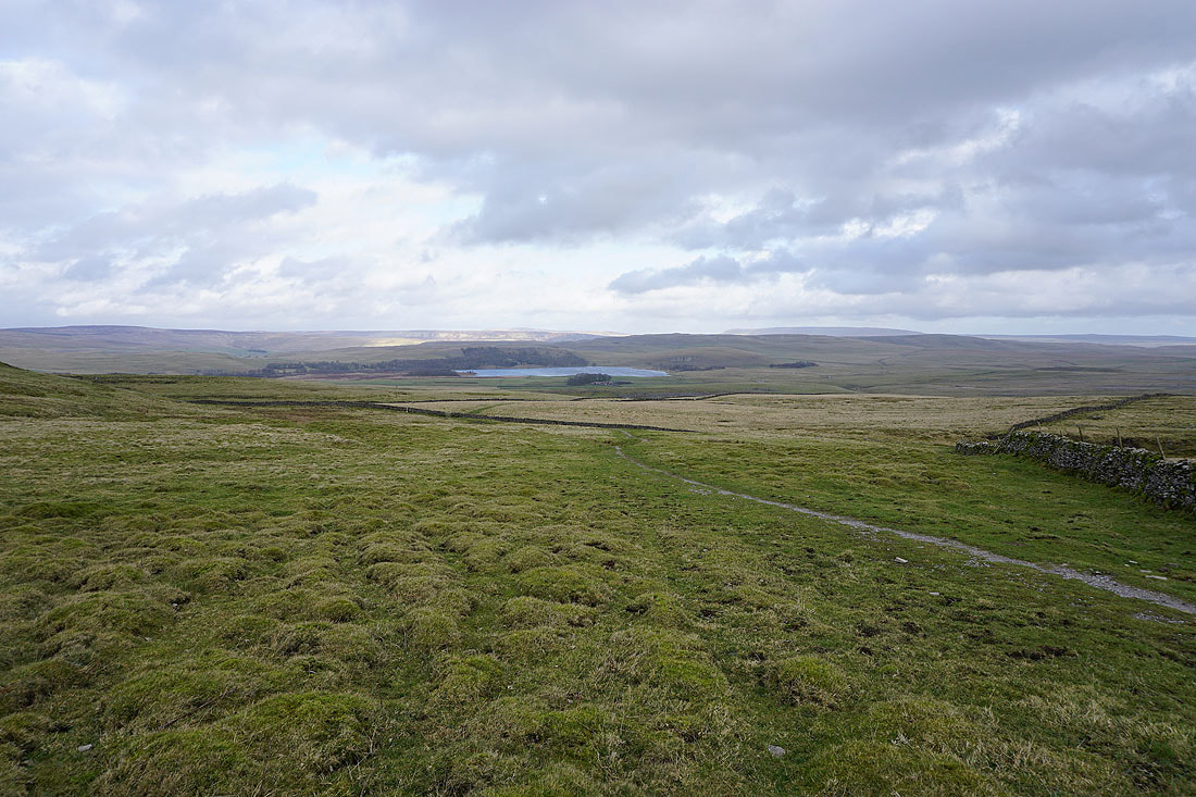
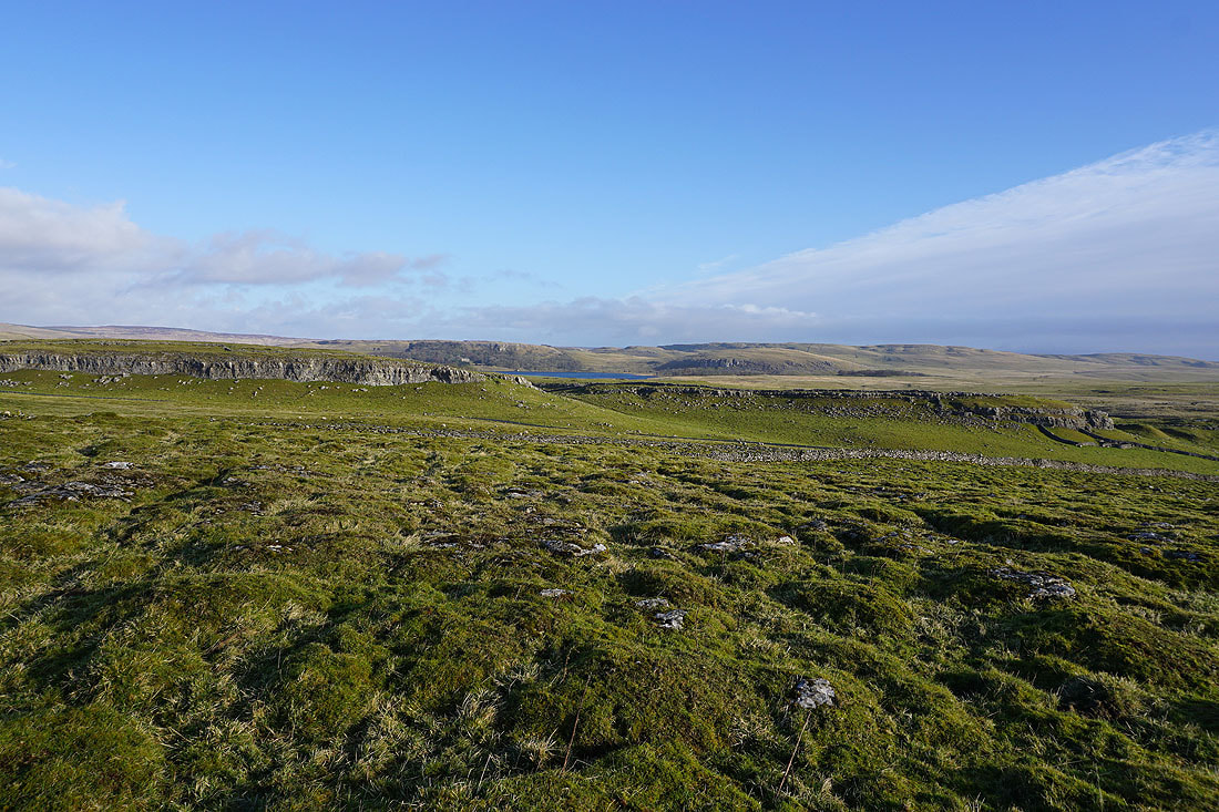
As a bonus I have a good view of Malham Tarn from here
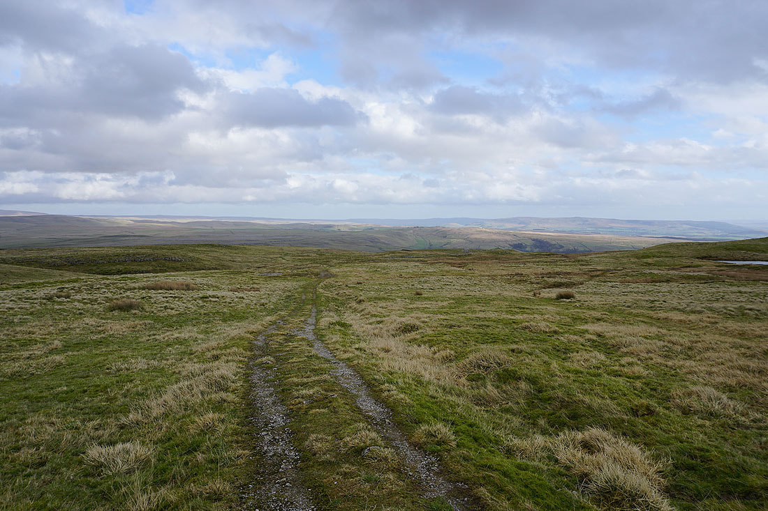
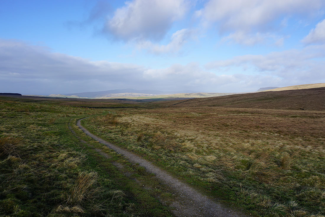
Following the bridleway down to the Cove Road..
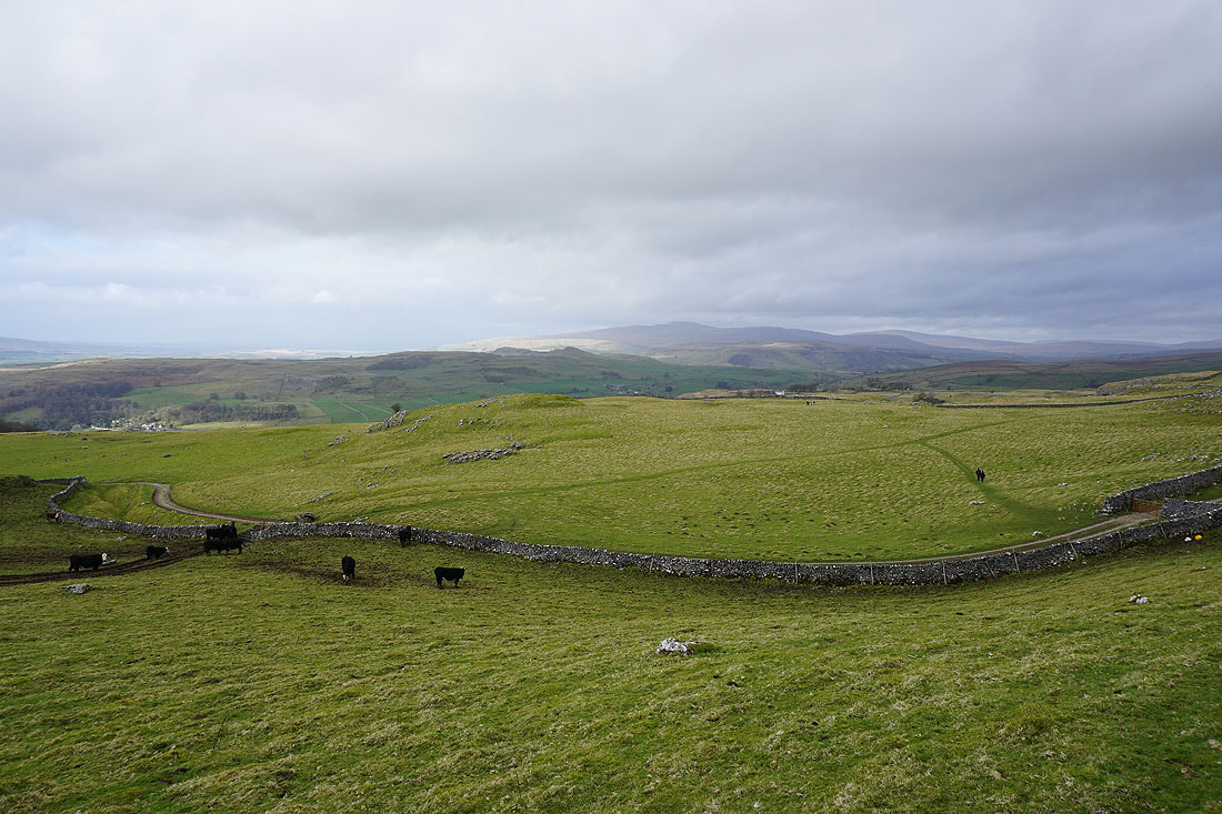
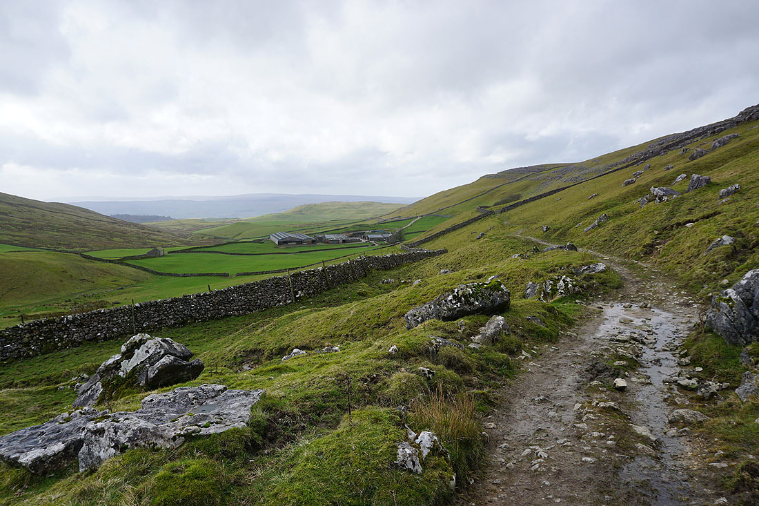
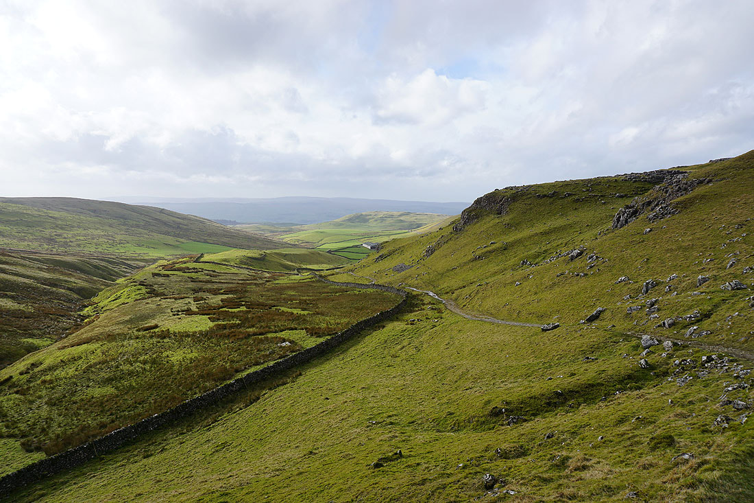
As the slopes of Kirkby Fell disappear to my right Malhamdale appears below..
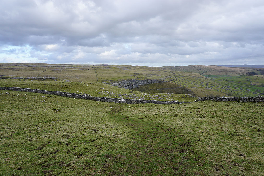
The bridleway finally reaches the Cove Road, and I can see part of Malham Cove. Soon I'll be able to see all of it.
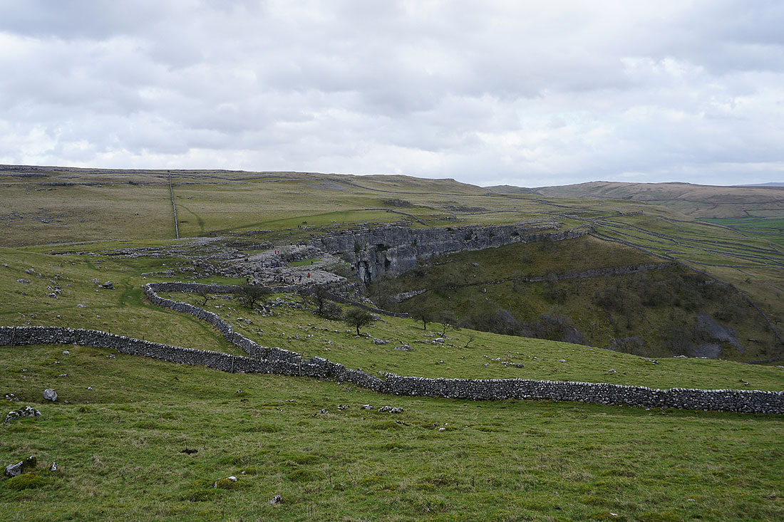
A side-on view of Malham Cove. I can't walk directly across to it from here, but after walking a short distance north on the public footpath I'm on the intervening wall will disappear and I can make my way across..
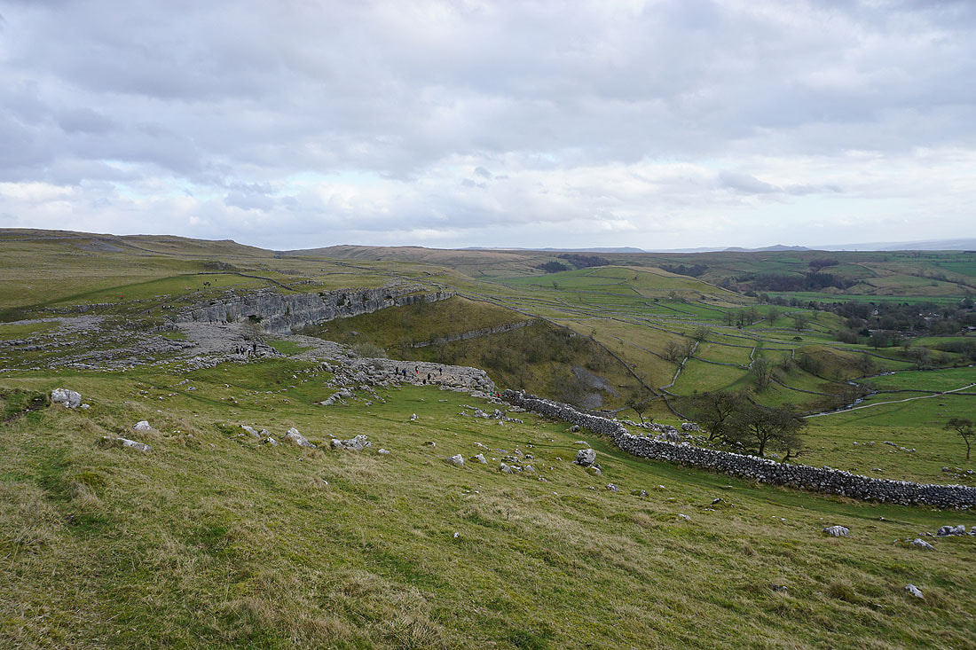
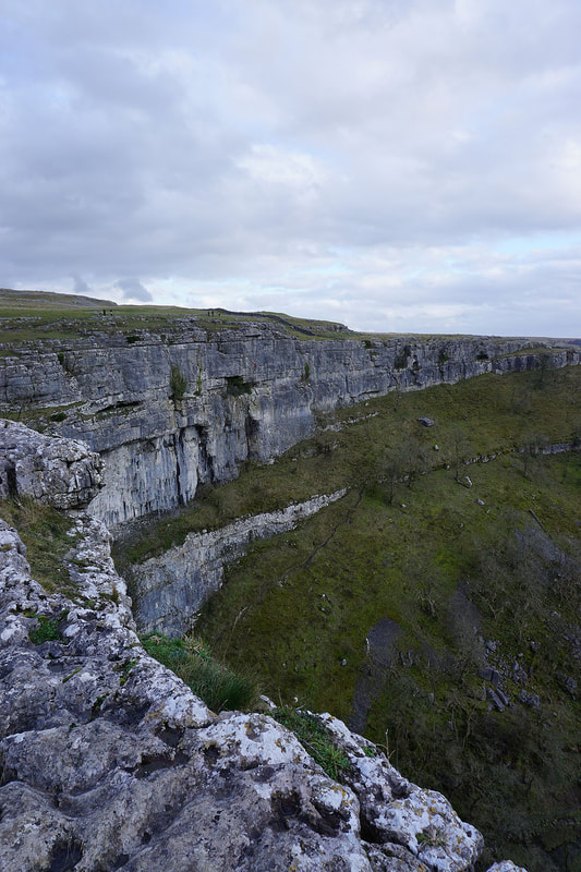
At the top of Malham Cove
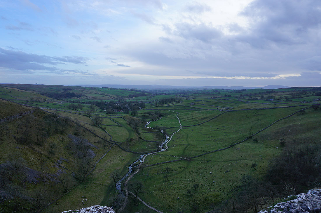
Looking down Malhamdale
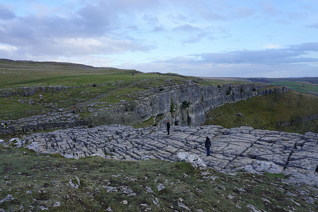
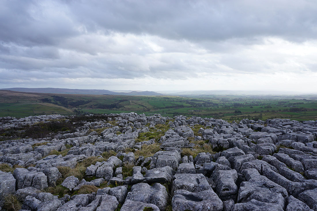
The limestone pavement at the top of the cove
Heading up the dry valley above Malham Cove
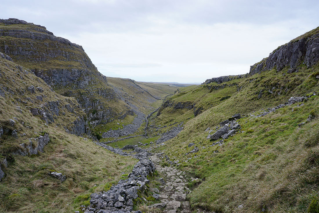
Looking back down as I reach its top
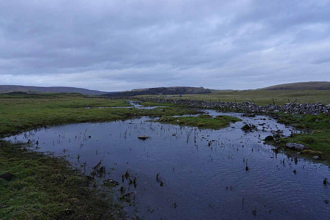
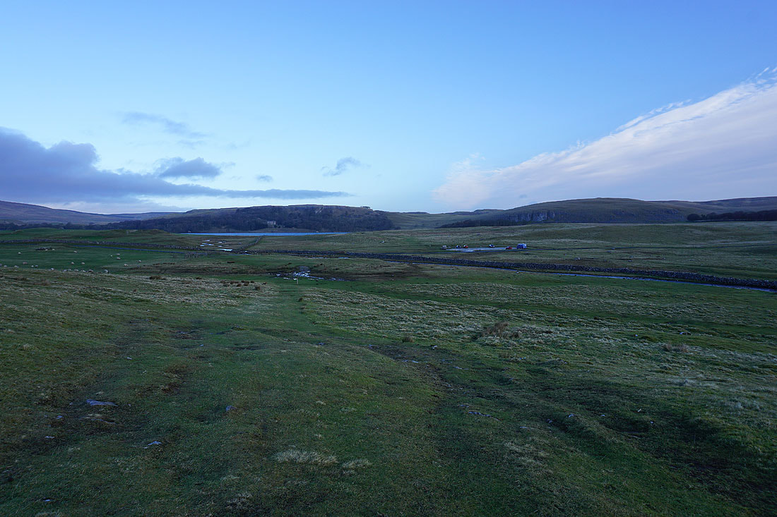
At Water Sinks with the Malham Tarn car park in sight