8th January 2015 - Ingleton Falls
Walk Details
Distance walked: 4.0 miles
Total ascent: 924 ft
OS map used: OL2 - Yorkshire Dales, Southern & Western areas
Time taken: 3 hrs
Route description: Ingleton-Ingleton Waterfalls Trail-Ravenray Bridge-Twisleton Hall-Oddie's Lane-Ingleton Waterfalls Trail-Ingleton
This was the second time that I've walked the Ingleton Waterfalls Trail and I enjoyed it as much as the first time round. Maybe even more, following recent rain the falls were more impressive. There's fantastic scenery to see round every corner as you walk up the valley of the River Twiss and down that of the River Doe.
The trail is on private land and in many places has been constructed and has to be maintained so a fee is charged for access. Current prices are as follows and haven't changed since my last visit in October 2013:
Adult ticket (16 and over) £6
Child ticket (under 16) £3
Family ticket (2 adults and up to 3 children) £14
From the trail car park I followed the path up Swilla Glen to the bridleway under Twisleton Scar End. I then followed the bridleway past Twisleton Hall down to Oddie's Lane to reach the second half of the trail back to Ingleton.
Route map
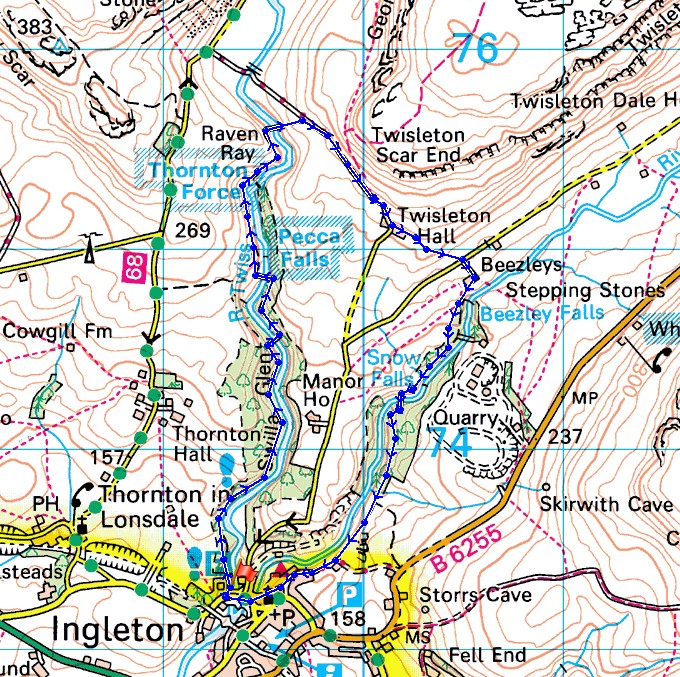
© Crown copyright. All rights reserved. License number PU 100034184.
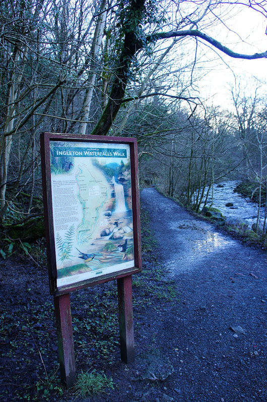
At the start of the trail
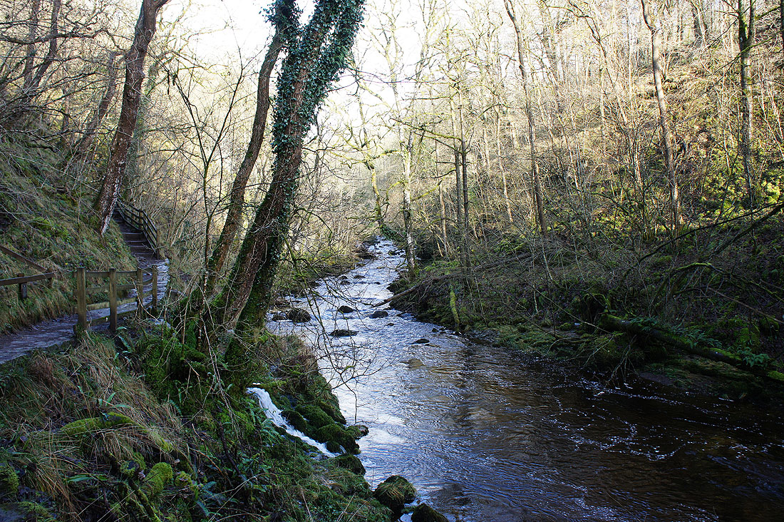
Heading up Swilla Glen to..
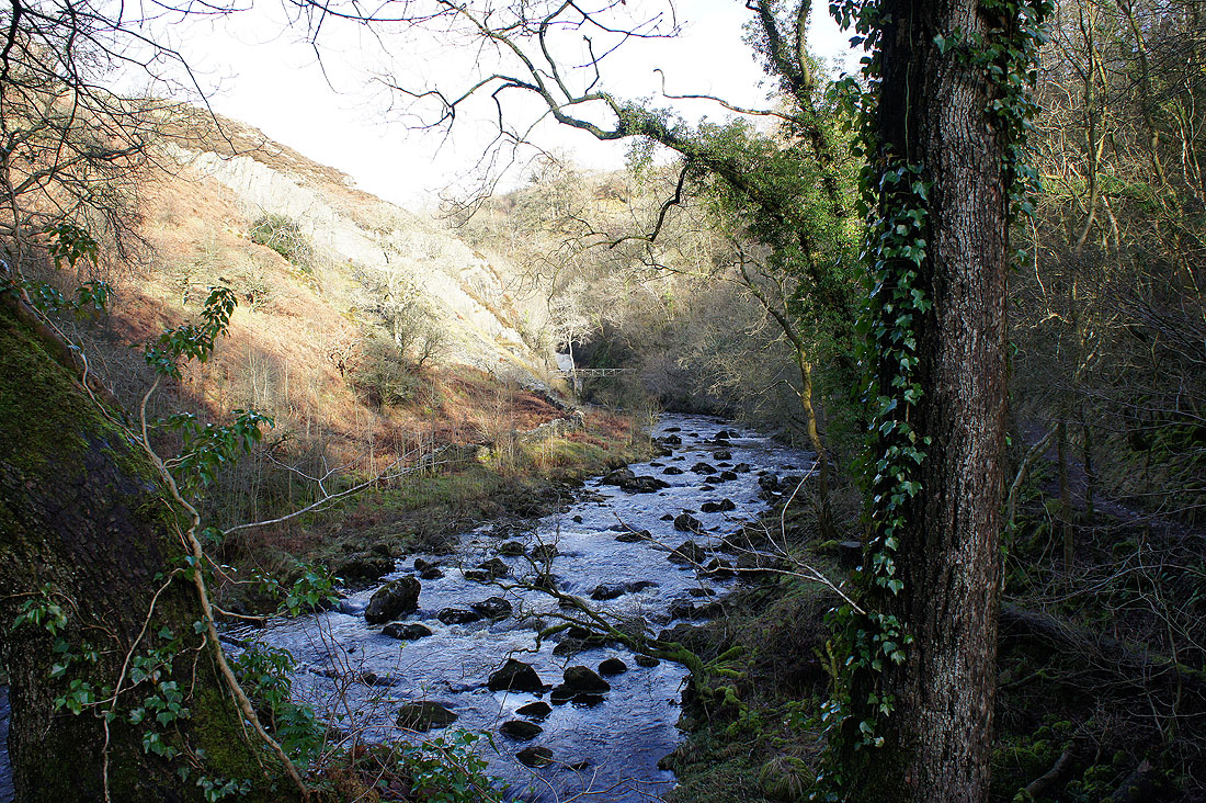
..the Pecca Falls viewpoint
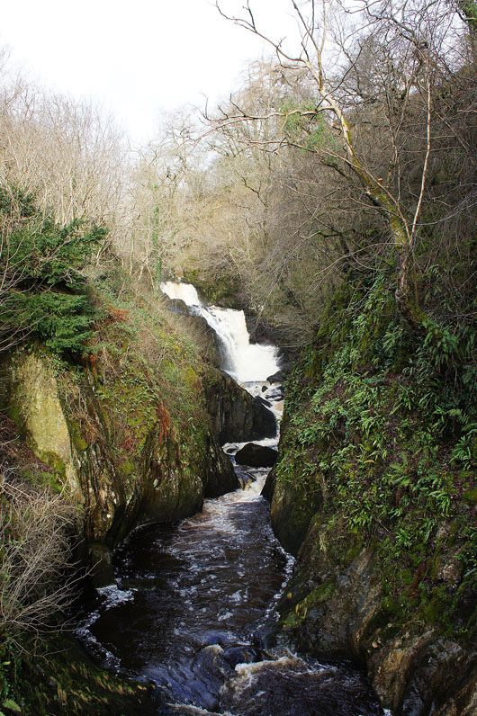
The first Pecca Falls..
A little further upstream are the Pecca Twin Falls
and then Hollybush Spout
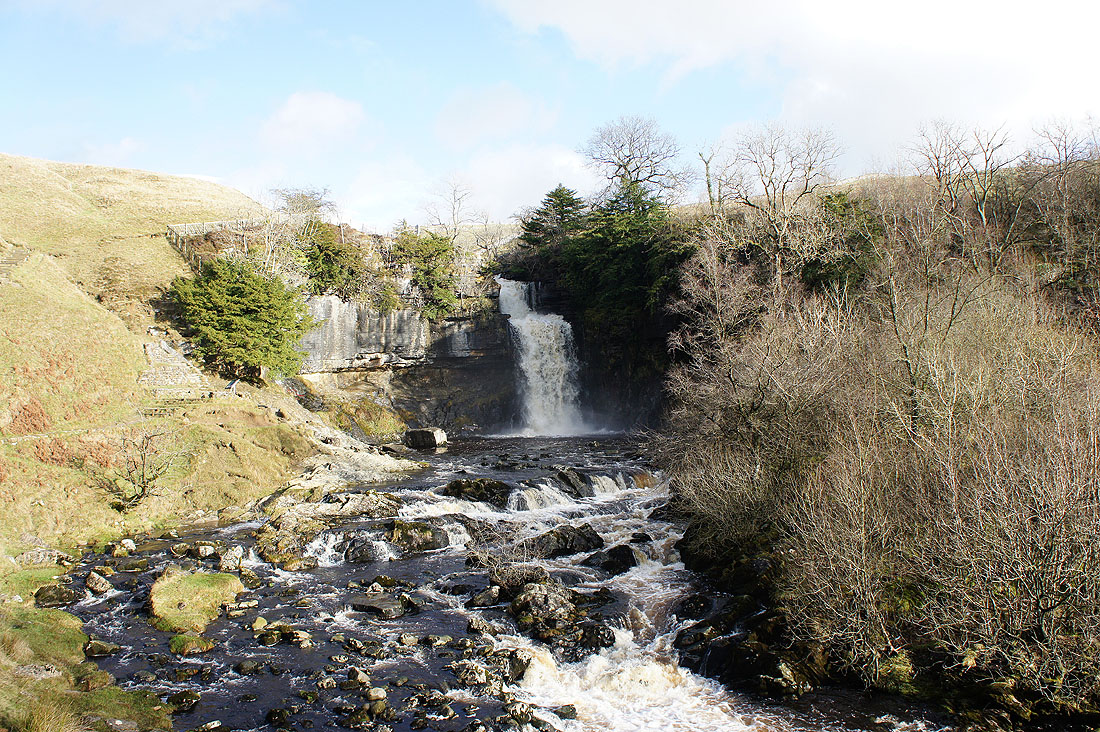
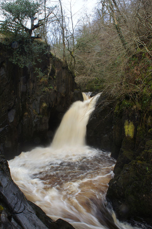
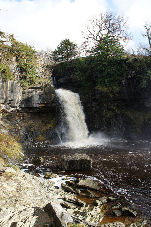
The highest and largest fall on the River Twiss is Thornton Force..
The river cascades over limestone above Thornton Force
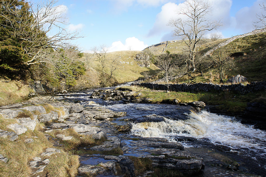
Blue skies over Hunt's Cross and Keld Scar as I head up to the bridleway across to Twisleton Hall
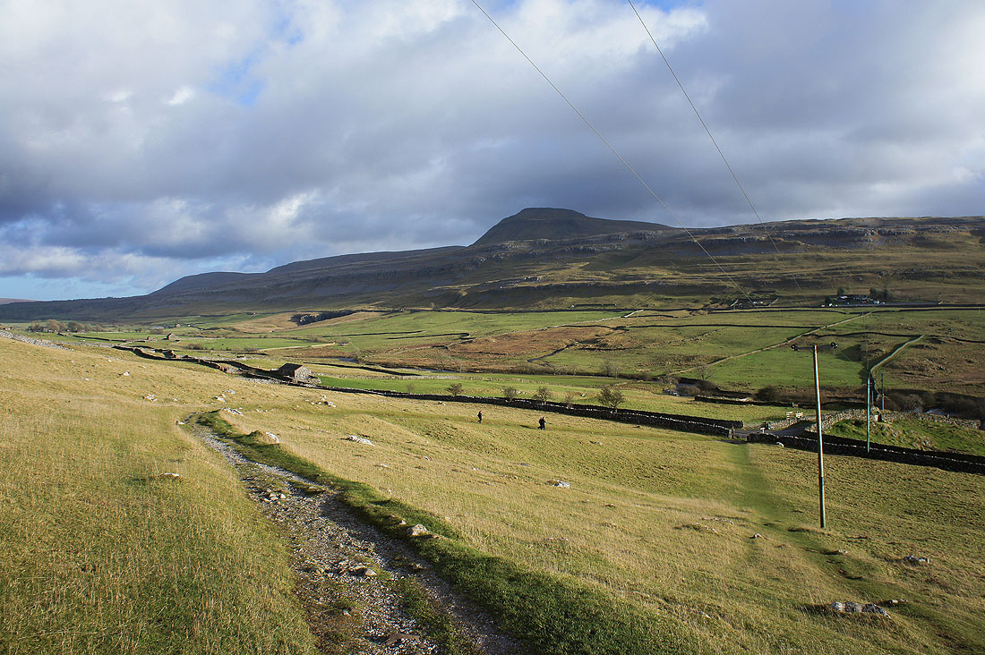
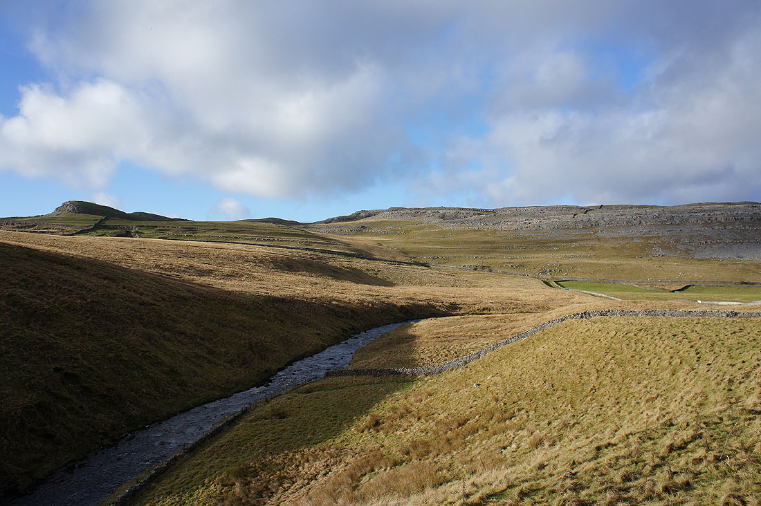
Ingleborough stands guard as I head down to Oddie's Lane for the second half of the trail
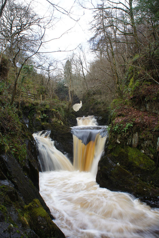
Onto the second half of the trail and I'll follow the River Doe down to Ingleton. The waterfalls soon resume with Beezley Falls and Triple Spout.
Following the trail past..
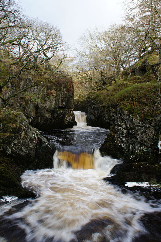
..Rival Falls
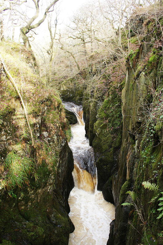
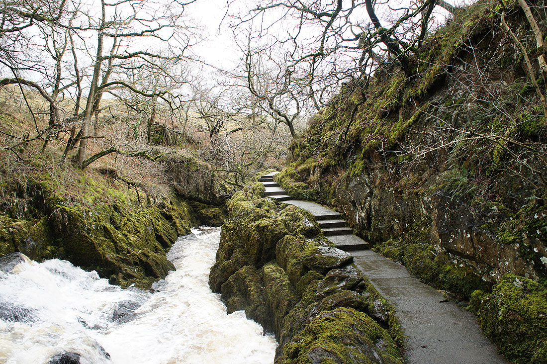
Baxenghyll Gorge from the footbridge over the ravine
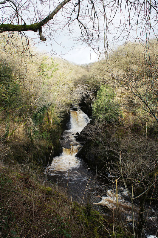
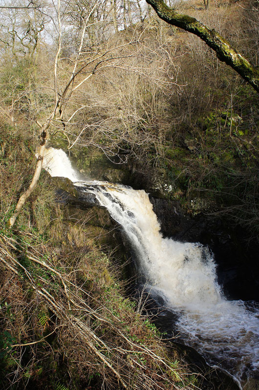
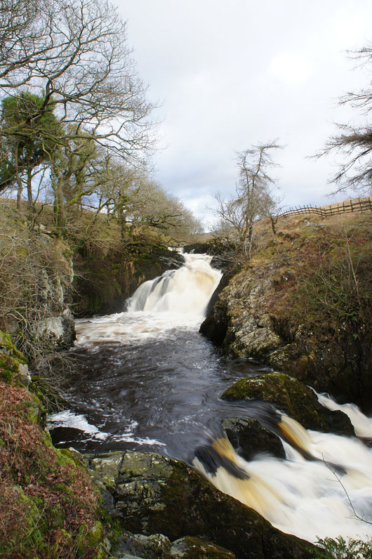
Snow Falls, the final named fall on the River Doe
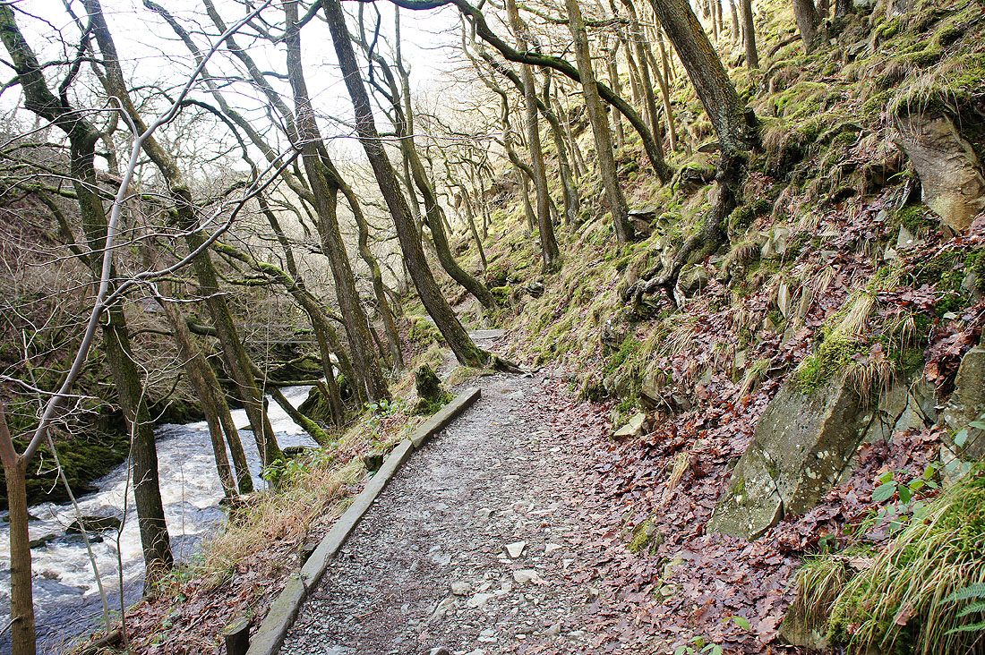
Not much of the trail left. It crosses a footbridge just ahead to head through Quarry Wood.
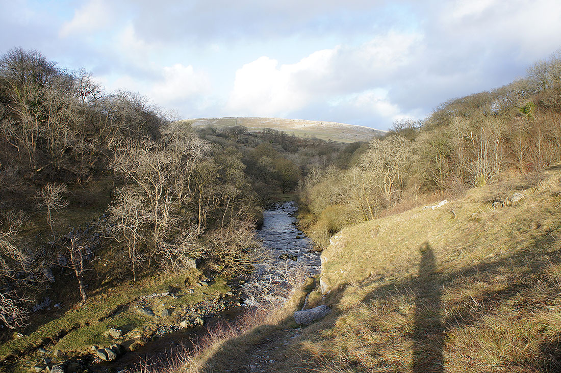
Then just outside Ingleton you get a view back up the River Doe