8th July 2017 - Whernside
Walk Details
Distance walked: 12.0 miles
Total ascent: 2305 ft
OS map used: OL2 - Yorkshire Dales, Southern and Western areas
Time taken: 7.5 hrs
Route description: Dent-Flinter Gill-Green Lane-High Moss-Kingsdale to Deepdale road-Whernside-Whernside Tarns-Dales High Way-Dyke Hall Lane-Mill Bridge-Dales Way-Church Bridge-Dent
After visiting Dent for the first time in three years a couple of months ago I've made it back there again much quicker this time. My objective this time is Whernside, which is a hill that I have climbed from Dent before, though just the once and that was in August 2010. The route that I took today was more or less the same except for taking in Whernside Tarns, which I didn't know about that first time. It was a lovely summer's day for this walk, blue skies, warm sunshine, great visibility, though the breeze was a bit fresh on the top of Whernside. For the most part I had the place to myself except for the summit of Whernside which I'd never seen so busy. My visit coincided with a charity walk, Whernside was a check-point and there was a steady stream of people crossing the top after coming up by the route from Ribblehead.
From the car park in Dent I crossed the road and walked up the lane opposite to its top and onto the bridleway up Flinter Gill. When this reached a junction of bridleways I turned left and took the one signposted for High Moss. I then followed this east and then south across the hillside above Deepdale to where it meets the Deepdale to Kingsdale Road. After a short walk down the road towards Kingsdale I crossed a stile on the left by a fence to pick up the path to the top of Whernside. Lunch taken, I continued by taking the path north along the summit ridge to the point where it starts to descend towards Ribblehead. This was my cue to leave it and cross the stile on my left and head for Whernside Tarns. I had a bit of a wander around the tarns and then made a point of going to the cairns on the edge of fell overlooking Deepdale and Dentdale. They have a great view. Having taken it in I made my way down by a line of grouse butts and a wall to reach the trail of the Dales High Way. I followed this west down to Dyke Hall Lane in Dentdale and after walking down this road I reached Mill Bridge. From here the trail of the Dales Way took me west to Church Bridge, where I was left with a short walk up into the village.
Route map
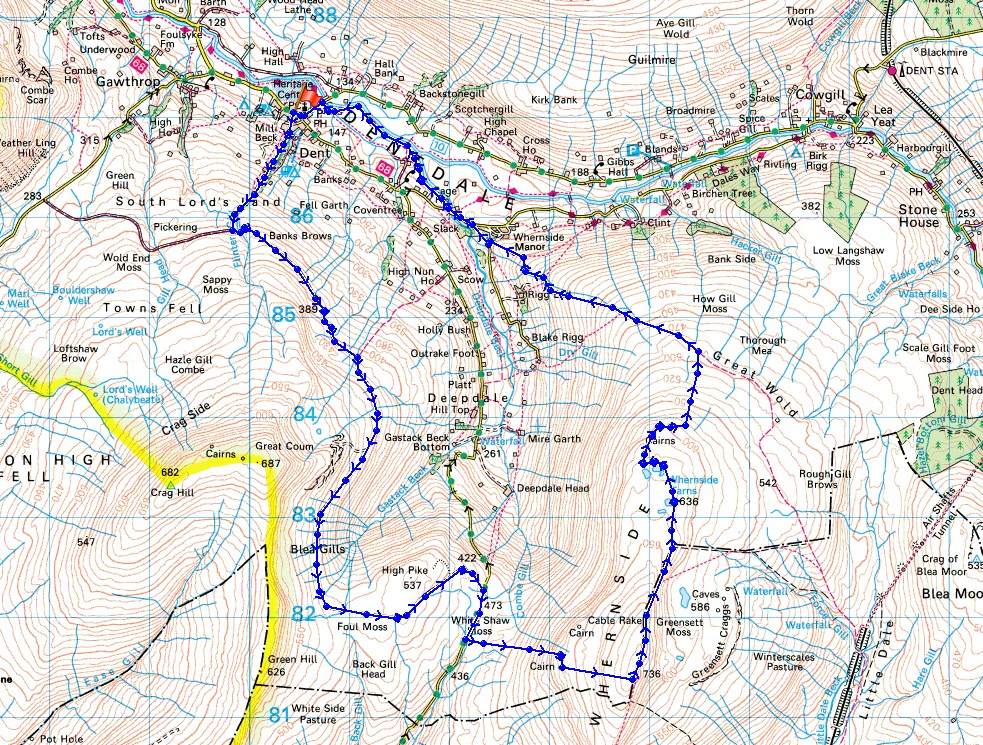
© Crown copyright. All rights reserved. License number PU 100034184.
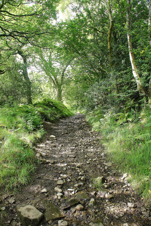
Heading up the path by Flinter Gill
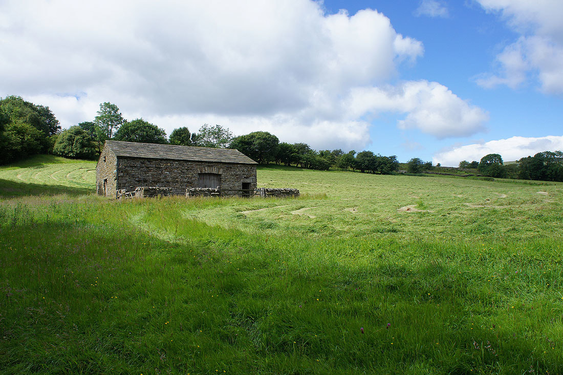
Barn and blue skies
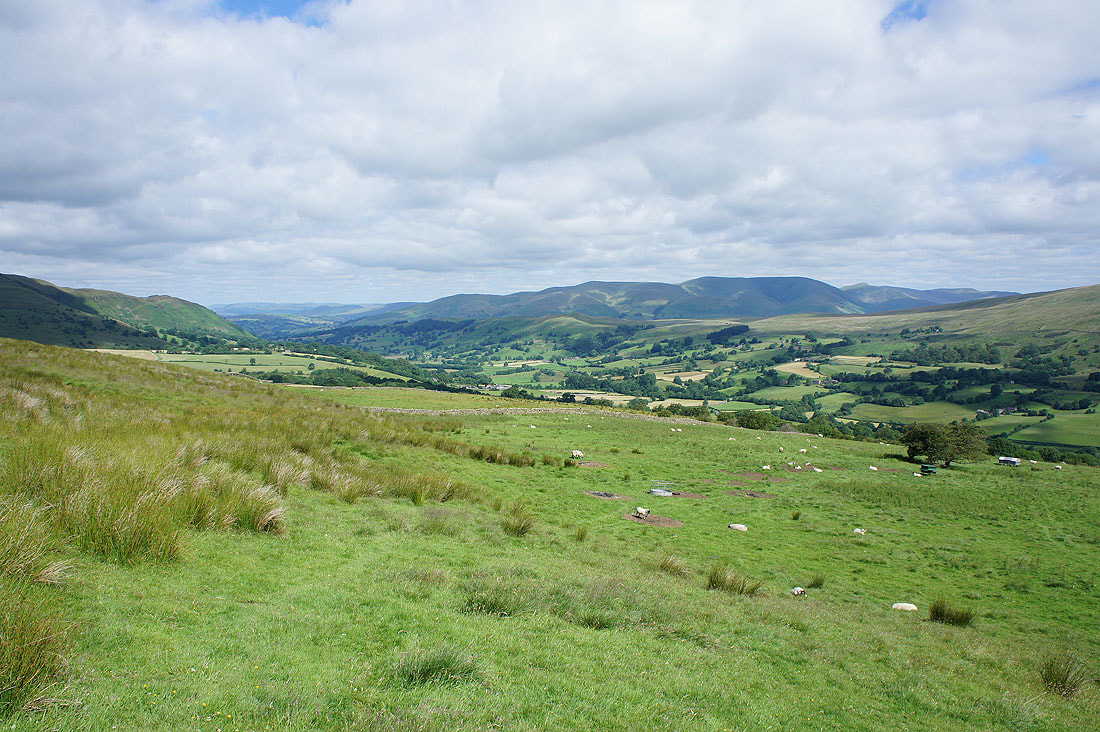
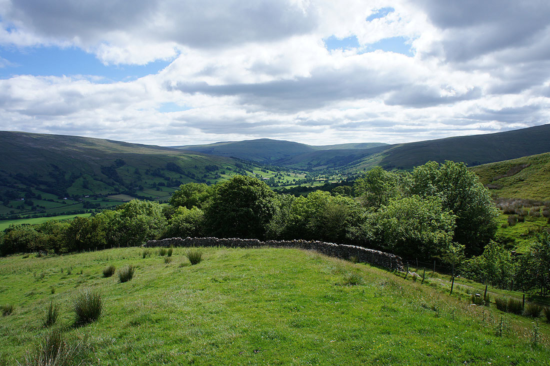
The Howgills and Dentdale..
..and Dentdale and Great Knoutberry Hill as I reach the top of the path
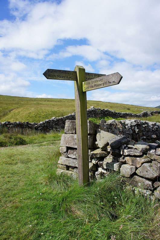
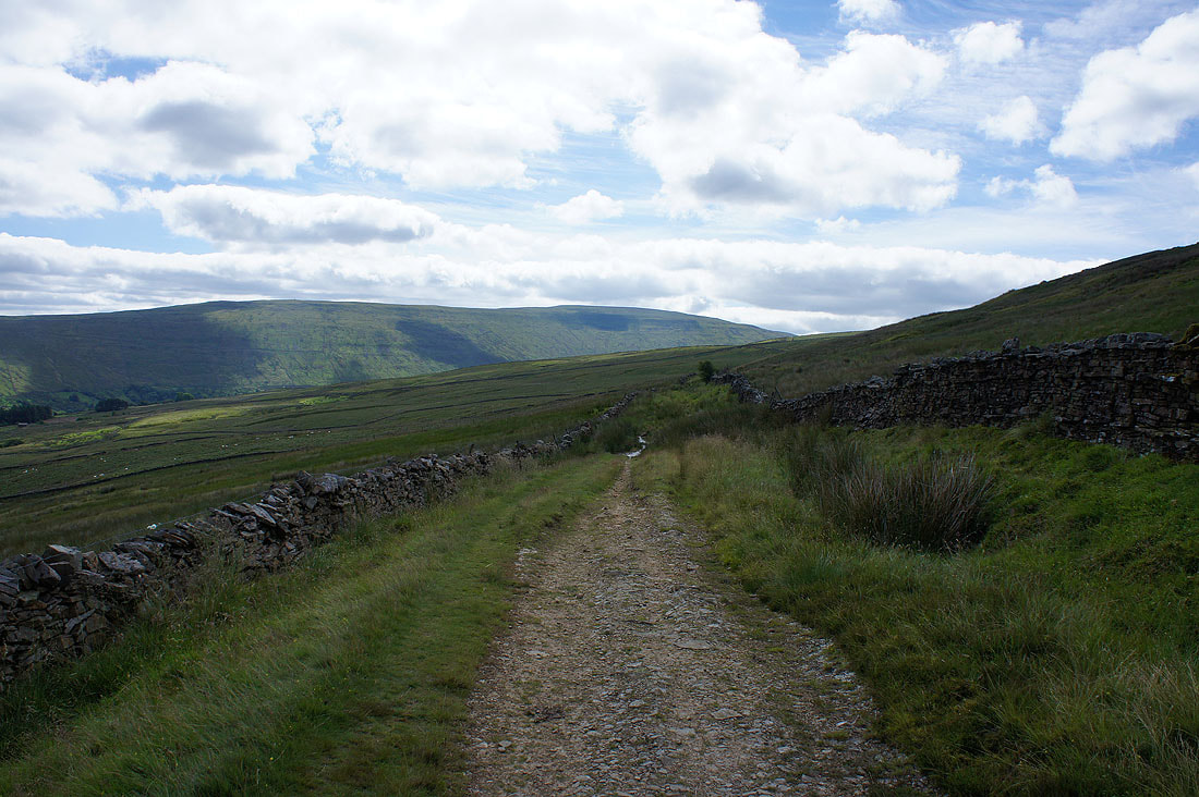
The junction of bridleways where I turn left and head for High Moss
Dentdale and Great Knoutberry Hill
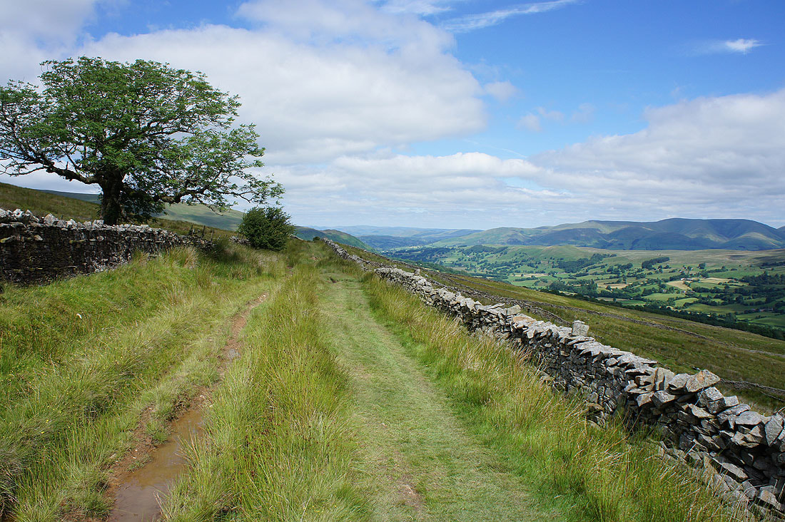
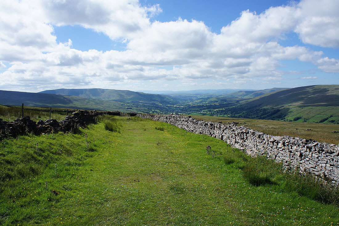
and looking back towards the Howgills from the bridleway to High Moss
Whernside appears as I round a corner
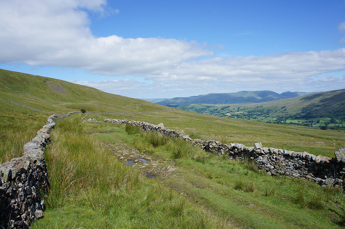
A last look back to the Howgills before they disappear from view for a while
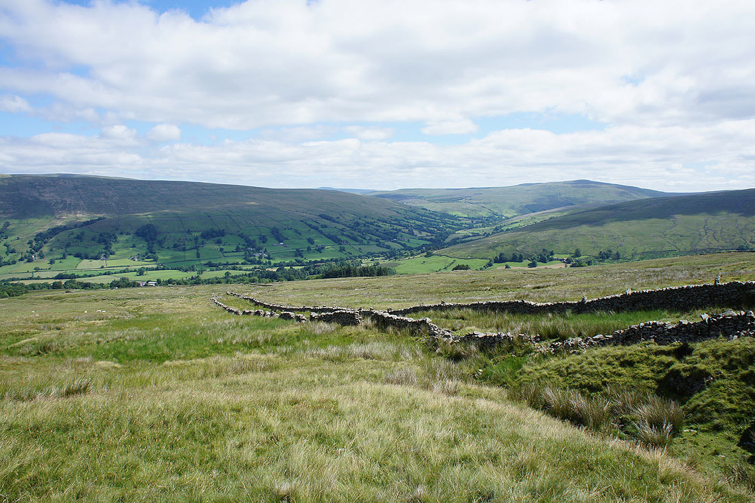
The Nun House Outrake bridleway approaches from Dentdale
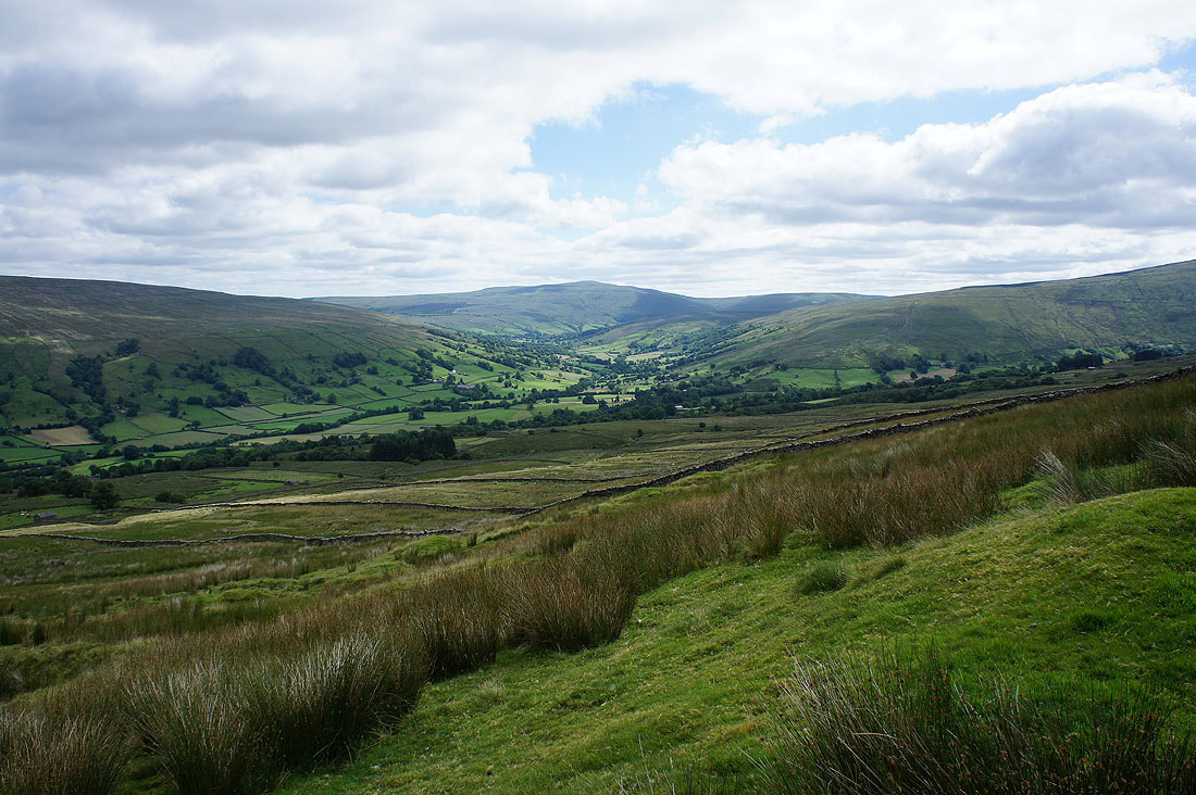
Deepdale, Dentdale, Great Shunner Fell and Great Knoutberry Hill
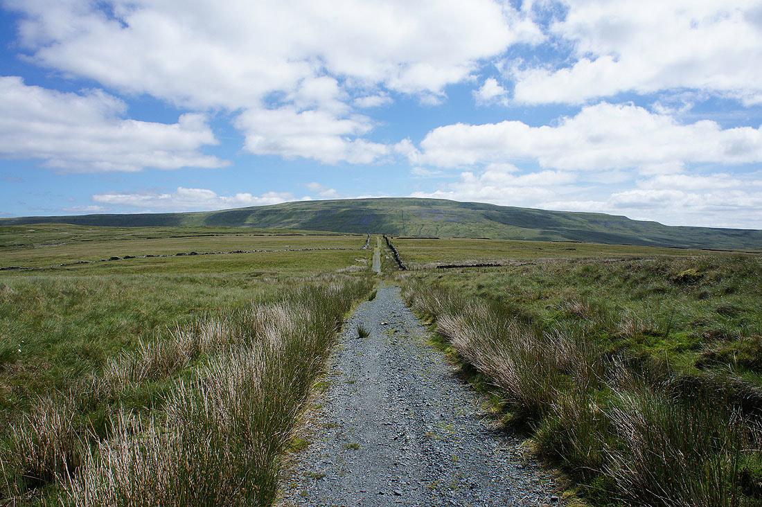
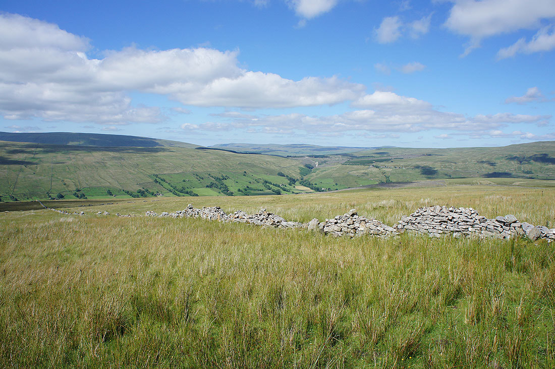
Whernside ahead as the bridleway crosses Foul Moss
Great Coum to my left if I turn round
and Ingleborough is now in view to my right
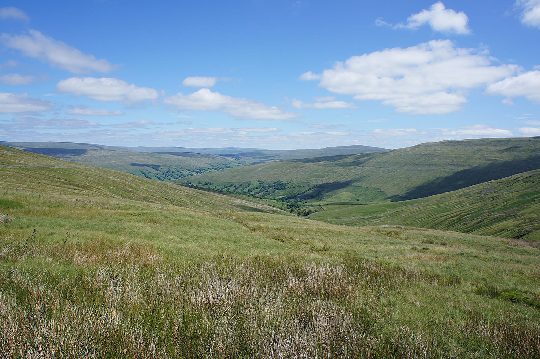
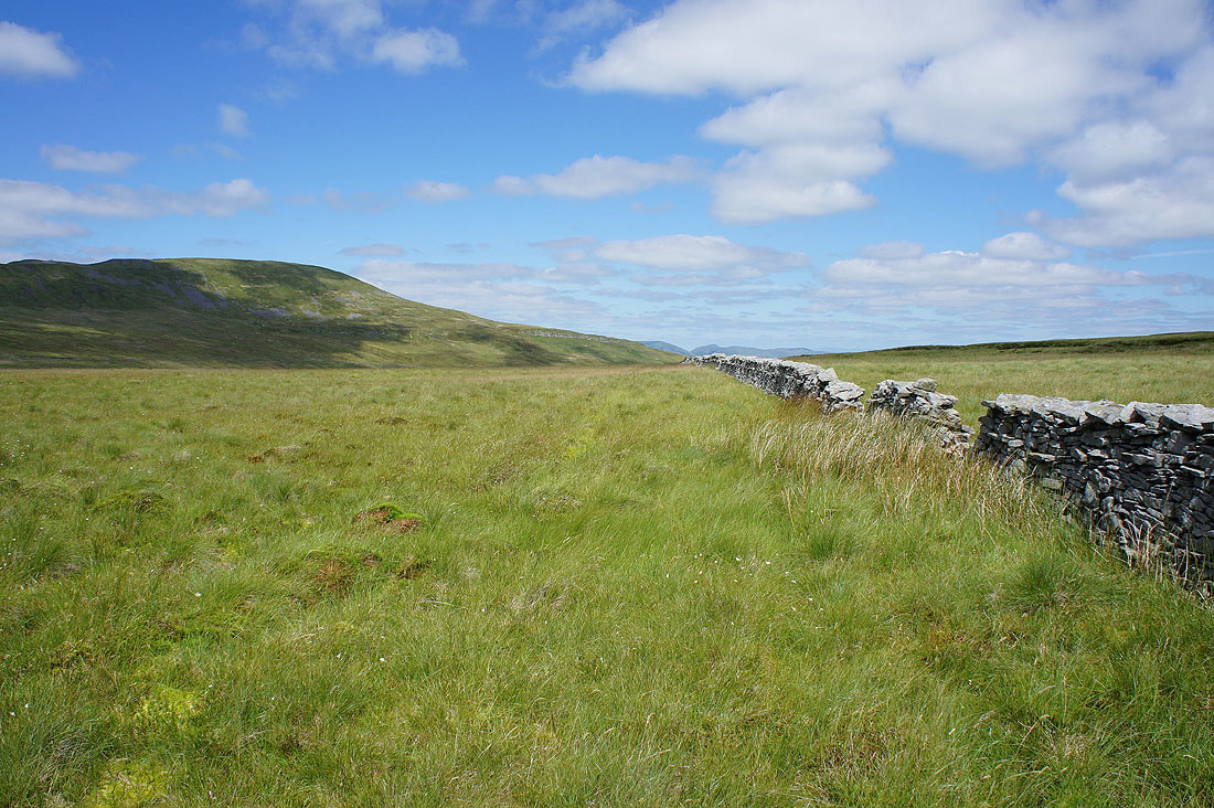
Deepdale heads down to Dentdale
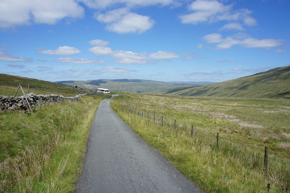
At the top of the Deepdale to Kingsdale road. Looking towards Deepdale.
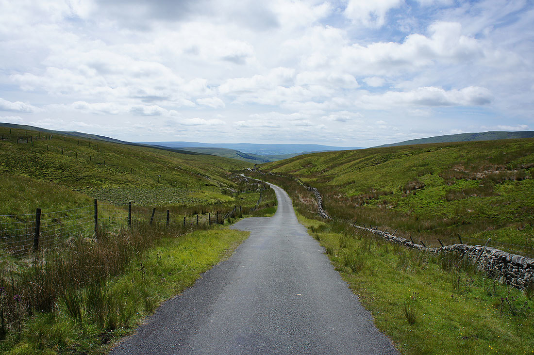
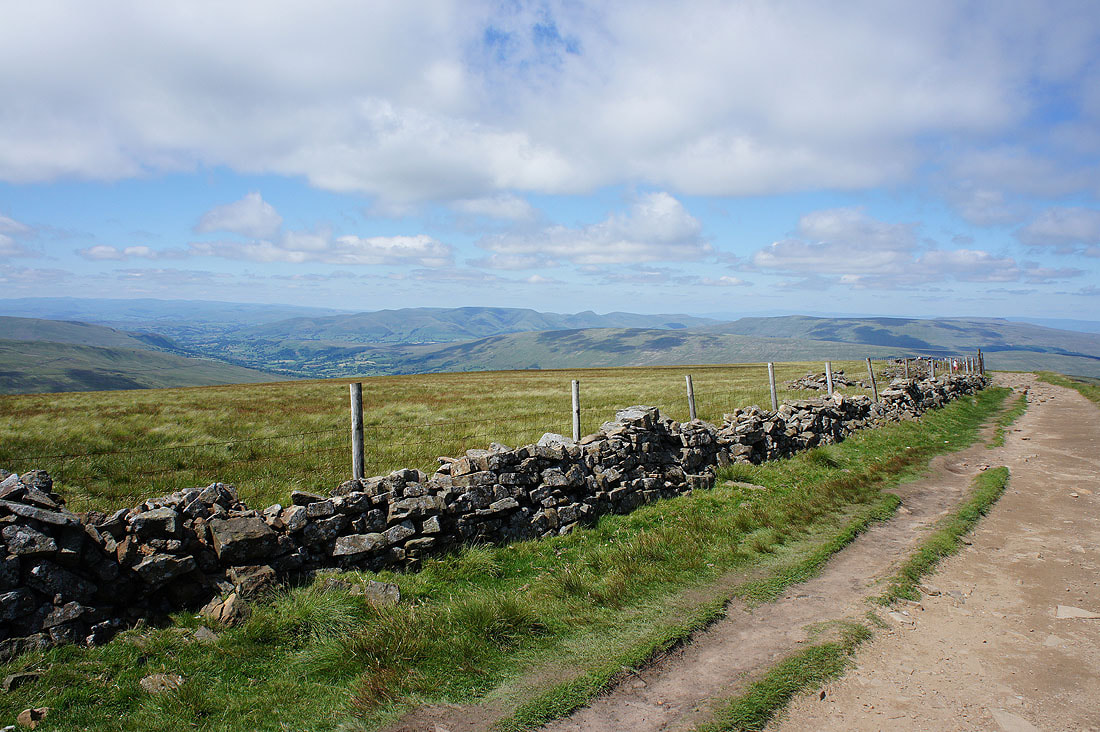
and walking down the road towards Kingsdale, where a stile on the left gave me access to the fellside.
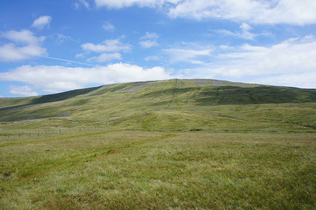
After having lunch I'm on my way up Whernside
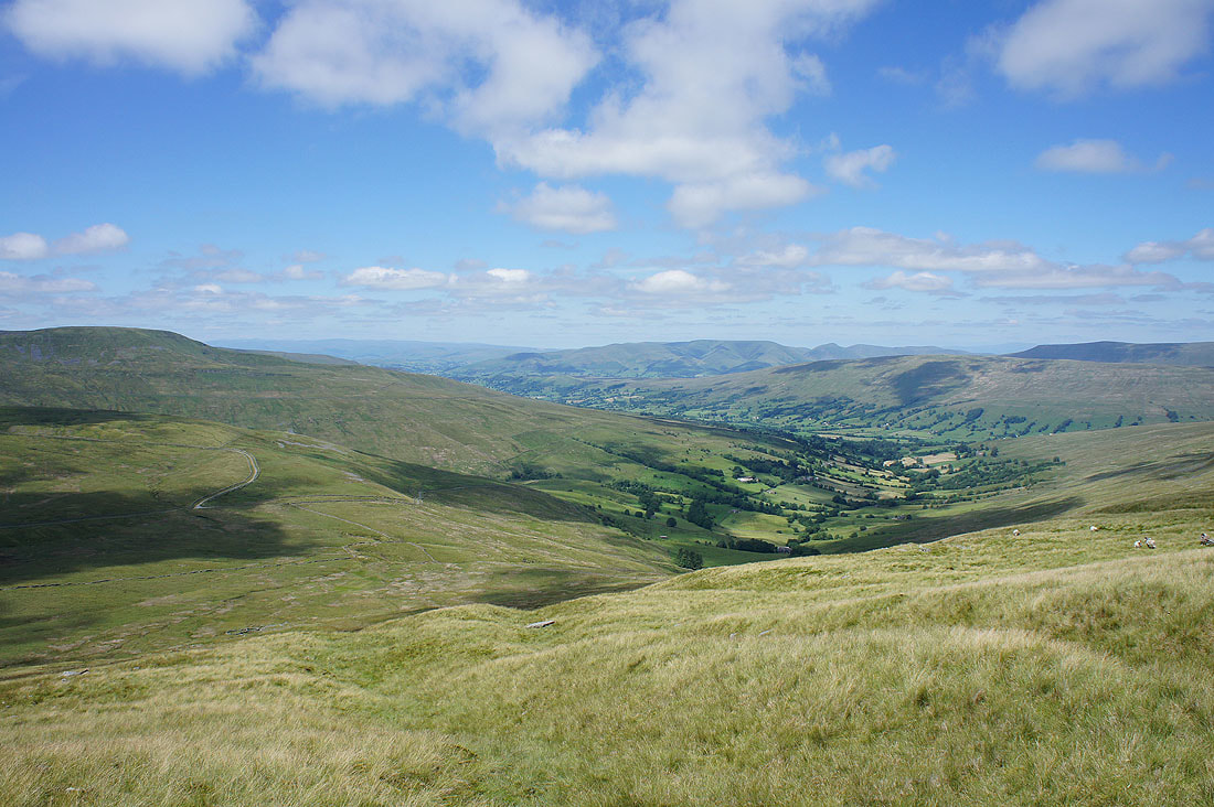
Great Coum, Deepdale, the Howgills, Dentdale and Aye Gill Pike
Kingsdale with Gragareth on its right and the Forest of Bowland in the distance
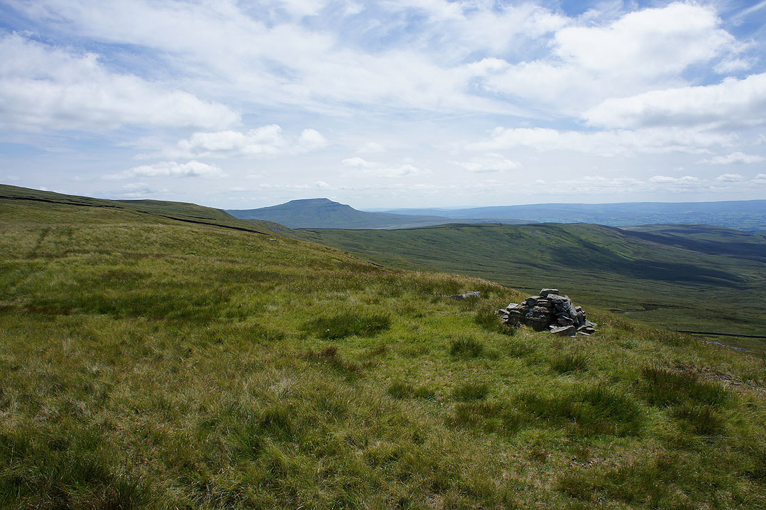
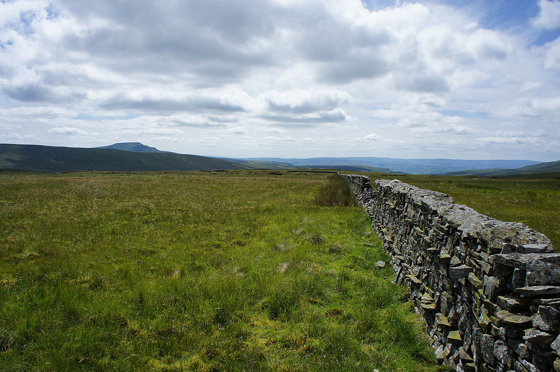
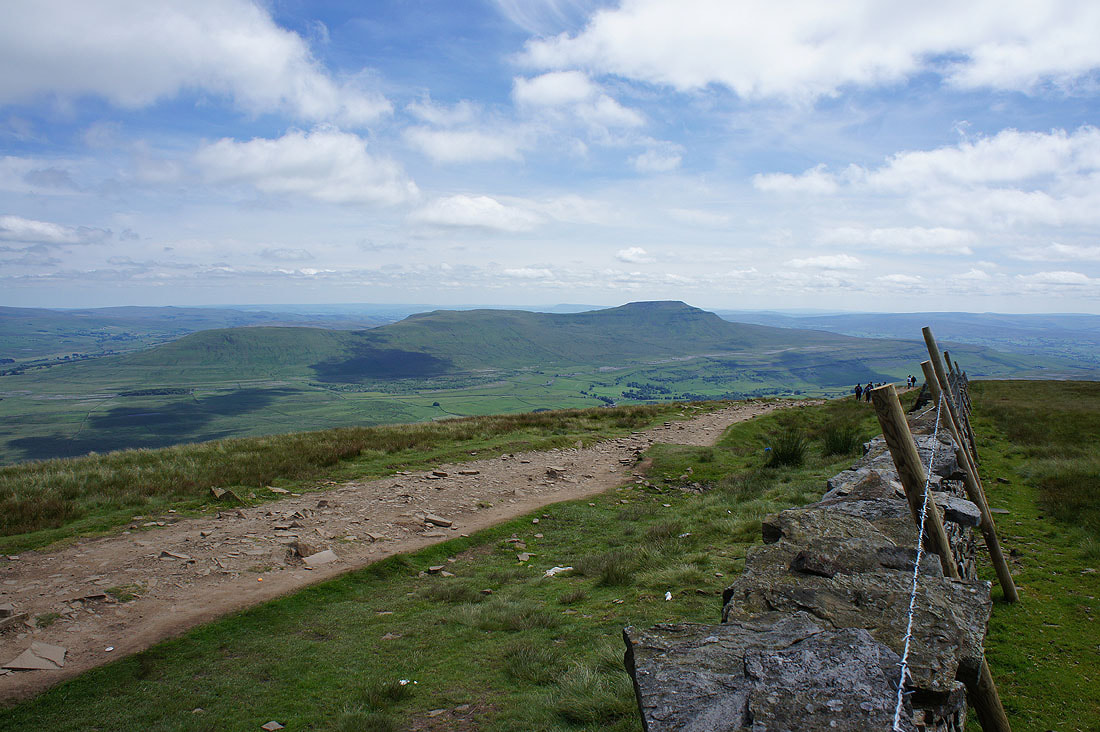
Not far from the top with Ingleborough behind Whernside's south ridge
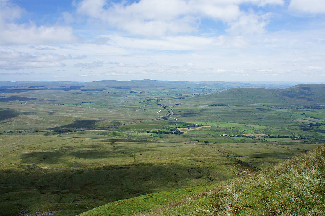
The view from Whernside, which is the busiest I've ever seen it due to a charity event. Penyghent, Ribblesdale and the Ribblehead Viaduct.
Distant hills include Dodd Fell Hill, Buckden Pike and Great Whernside
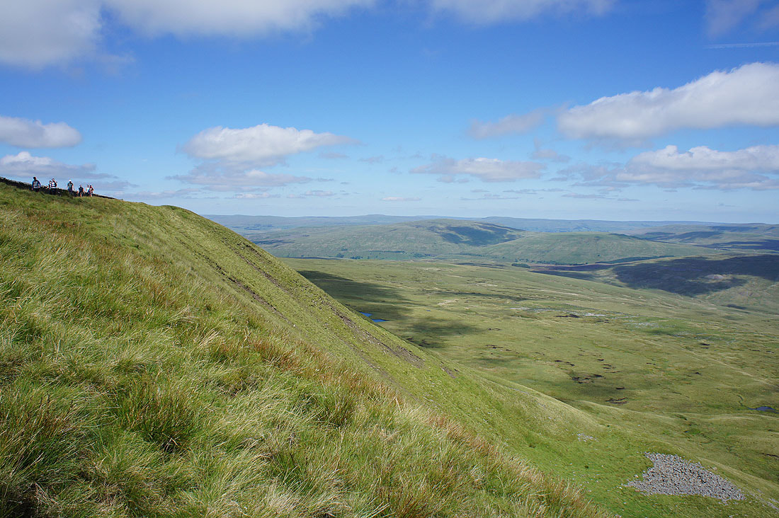
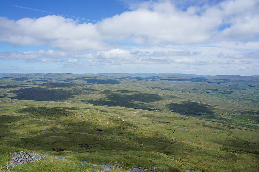
Looking north as I sit on the edge of the steep east face to Great Shunner Fell and Great Knoutberry Hill
A long line of distant Lake District fells, Great Coum and the Howgills
Ingleborough
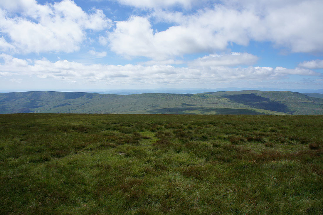
Gragareth, Green Hill and Great Coum
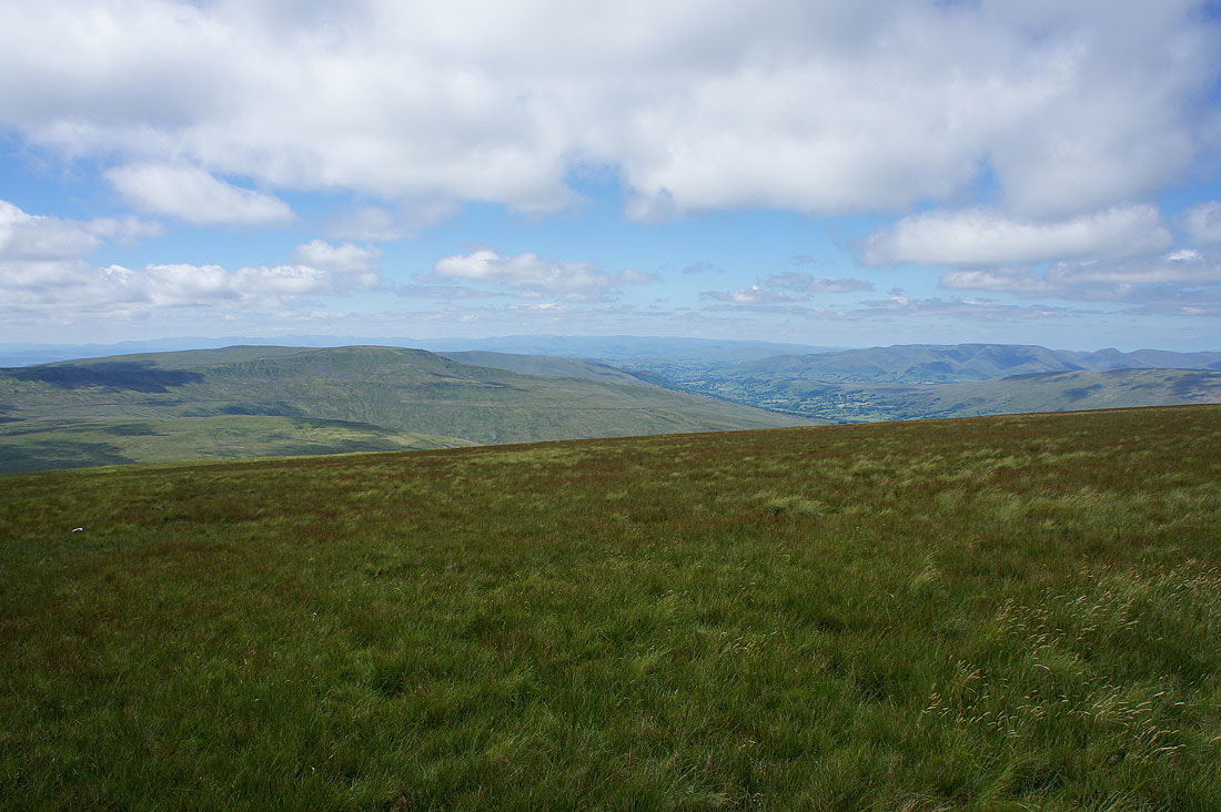
Dentdale, the Howgills, Aye Gill Pike and Baugh Fell as I head north from the summit
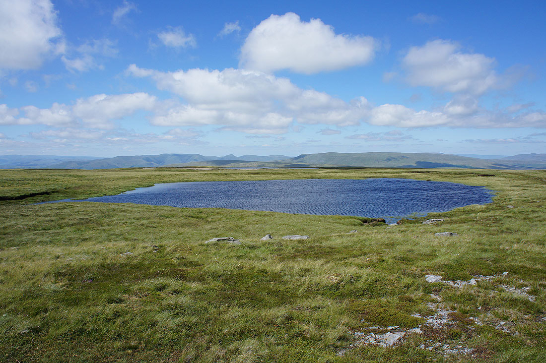
The first of the Whernside Tarns that I arrive at
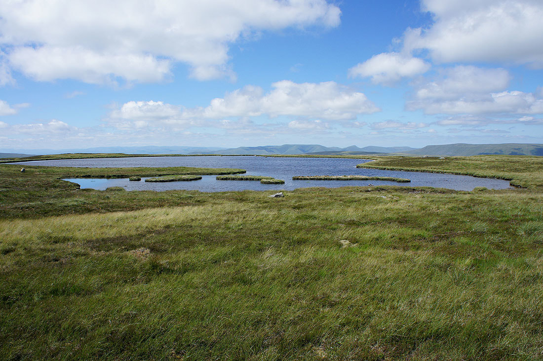
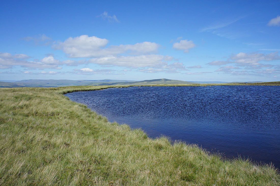
and by the largest..
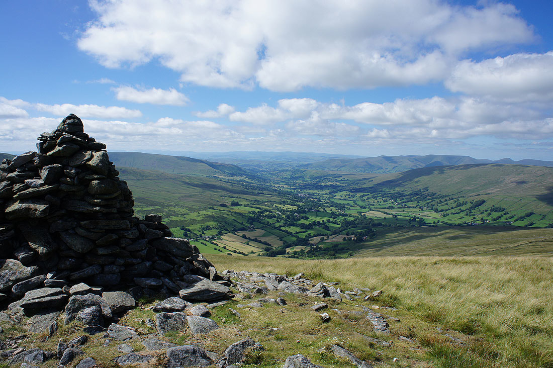
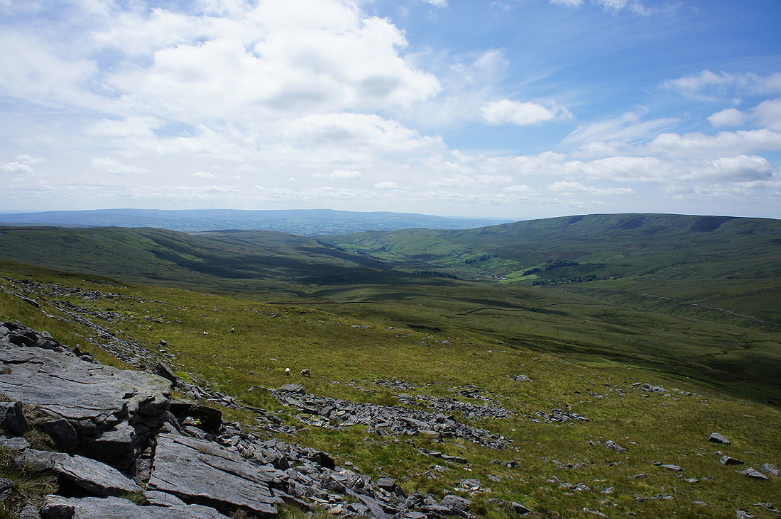
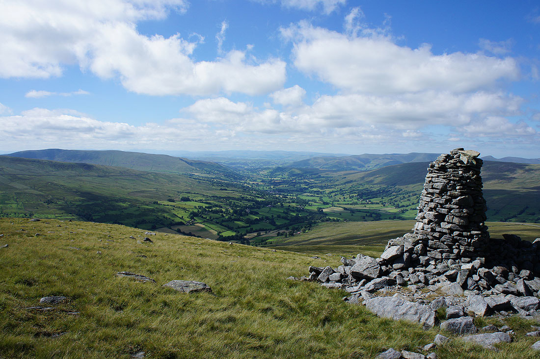
Just to the northwest of Whernside Tarns and on the edge of the fell, a couple of cairns provide a fantastic view of Deepdale, Dentdale and the Howgills...
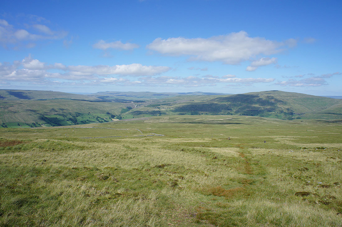
Dentdale and Great Knoutberry Hill as I head north to pick up the track of the Craven Way
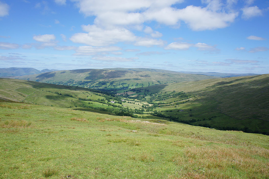
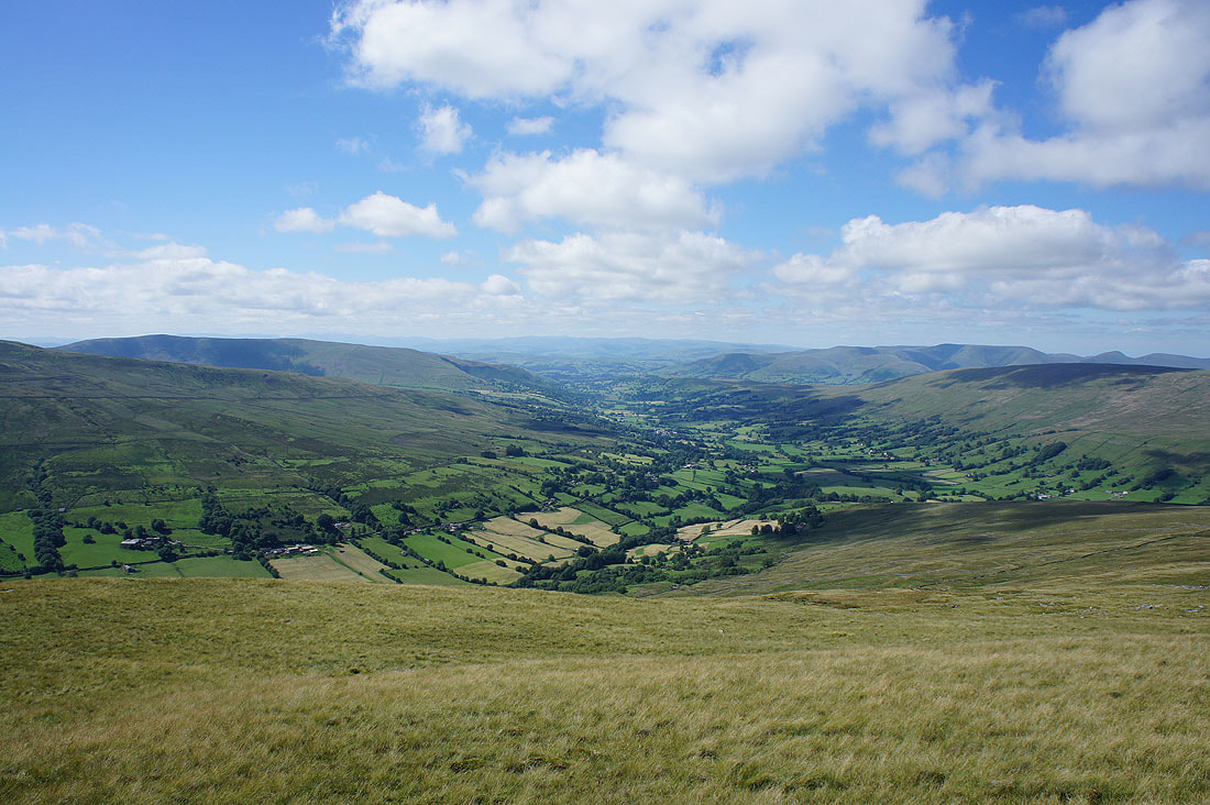
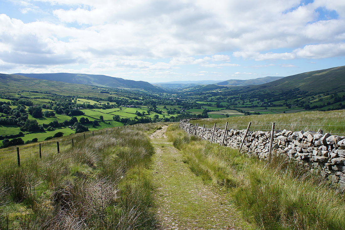
On my way back to Dentdale with lovely views of the valley...
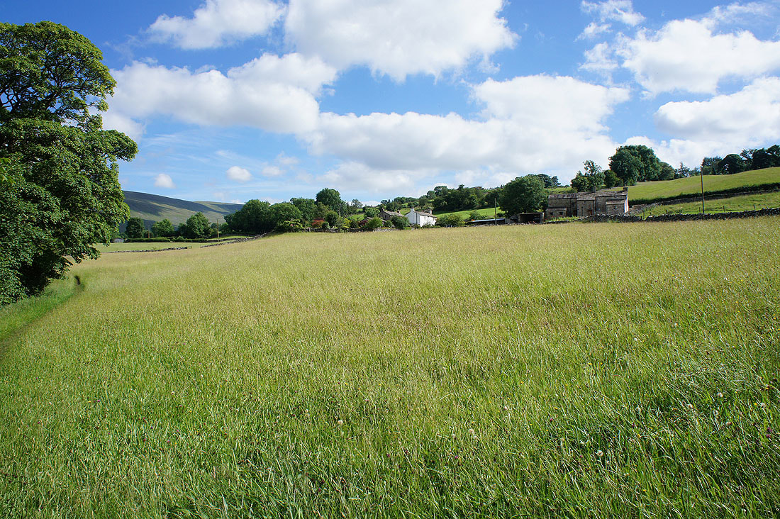
A hay meadow on the Dales Way
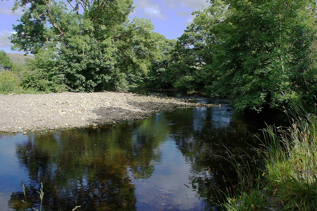
The River Dee at Church Bridge
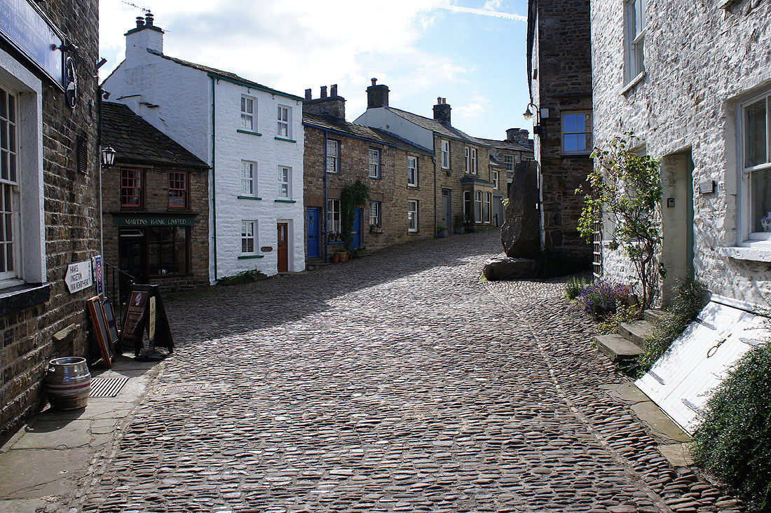
Back in Dent