8th July 2018 - Great Coum and Dentdale
Walk Details
Distance walked: 10.0 miles
Total ascent: 2089 ft
OS map used: OL2 - Yorkshire Dales, Southern & Western areas
Time taken: 6 hrs
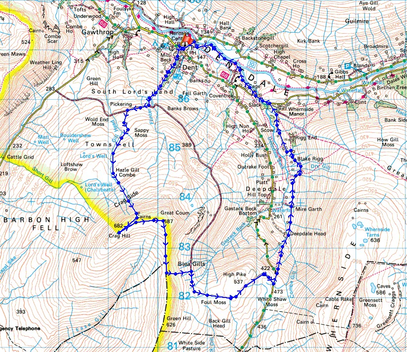
Route description: Dent-Flinter Gill-Green Lane-Towns Fell-Crag Side-The Crag-Crag Hill-Great Coum-County Stone-Green Lane-High Moss-Deepdale Lane-Deepdale Head-White Acre-Mire Garth-Hingabank-Blake Rigg-Dyke Hall Lane-Dales Way-Church Bridge-Dent
My proper hill walk of the weekend and I've decided to head to Dent in the Yorkshire Dales. The route I have planned takes in familiar ground in the shape of the fells of Crag Hill and Great Coum, and the way up to reach them via Flinter Gill, Green Lane and Towns Fell (my first ascent of these fells in 2010 was by this way); but the path down Deepdale is new to me. More warm summer weather to enjoy although there wasn't as much sunshine as yesterday with cloud tending to build up through the afternoon. The effects of the prolonged warm and dry weather are really starting to show now with the River Dee really low and the peaty ground on the fells being baked dry.
After parking in the car park in Dent I crossed Main Street and walked up the road of Dragon Croft to its top and onto the bridleway up by Flinter Gill. At its top I reached the track of Green Lane where I turned right and followed it west across the fellside until I reached another walled track on the left. I then followed this up Towns Fell and onto the open fell where I carried on climbing by a wall to reach the cairn perched on top of The Crag. This was a good place to stop for a break and take in the view before heading for the trig point on Crag Hill. I then made my way east across the top of the fell to the summit of Great Coum, then south on the eastern side of the summit wall to the County Stone. This was where I left the summit ridge to descend the fellside and back to the track of Green Lane, which I then followed south and east to Deepdale Lane. I walked down the road into Deepdale for a short distance to pick up the footpath down into Deepdale to Deepdale Head, then on past Johnston's Laithe, White Acre, and Mire Garth to Hingabank Farm (patches of yellow paint on posts and walls helped with navigation). I then walked down Dyke Hall Lane into Dentdale and onto the trail of the Dales High Way to Mill Bridge. Here I picked up the trail of the Dales Way which I followed by Deepdale Beck and the River Dee to Church Bridge, where I was left with a walk back up into Dent.
Total ascent: 2089 ft
OS map used: OL2 - Yorkshire Dales, Southern & Western areas
Time taken: 6 hrs
Route description: Dent-Flinter Gill-Green Lane-Towns Fell-Crag Side-The Crag-Crag Hill-Great Coum-County Stone-Green Lane-High Moss-Deepdale Lane-Deepdale Head-White Acre-Mire Garth-Hingabank-Blake Rigg-Dyke Hall Lane-Dales Way-Church Bridge-Dent
My proper hill walk of the weekend and I've decided to head to Dent in the Yorkshire Dales. The route I have planned takes in familiar ground in the shape of the fells of Crag Hill and Great Coum, and the way up to reach them via Flinter Gill, Green Lane and Towns Fell (my first ascent of these fells in 2010 was by this way); but the path down Deepdale is new to me. More warm summer weather to enjoy although there wasn't as much sunshine as yesterday with cloud tending to build up through the afternoon. The effects of the prolonged warm and dry weather are really starting to show now with the River Dee really low and the peaty ground on the fells being baked dry.
After parking in the car park in Dent I crossed Main Street and walked up the road of Dragon Croft to its top and onto the bridleway up by Flinter Gill. At its top I reached the track of Green Lane where I turned right and followed it west across the fellside until I reached another walled track on the left. I then followed this up Towns Fell and onto the open fell where I carried on climbing by a wall to reach the cairn perched on top of The Crag. This was a good place to stop for a break and take in the view before heading for the trig point on Crag Hill. I then made my way east across the top of the fell to the summit of Great Coum, then south on the eastern side of the summit wall to the County Stone. This was where I left the summit ridge to descend the fellside and back to the track of Green Lane, which I then followed south and east to Deepdale Lane. I walked down the road into Deepdale for a short distance to pick up the footpath down into Deepdale to Deepdale Head, then on past Johnston's Laithe, White Acre, and Mire Garth to Hingabank Farm (patches of yellow paint on posts and walls helped with navigation). I then walked down Dyke Hall Lane into Dentdale and onto the trail of the Dales High Way to Mill Bridge. Here I picked up the trail of the Dales Way which I followed by Deepdale Beck and the River Dee to Church Bridge, where I was left with a walk back up into Dent.
© Crown copyright. All rights reserved. License number PU 100034184.
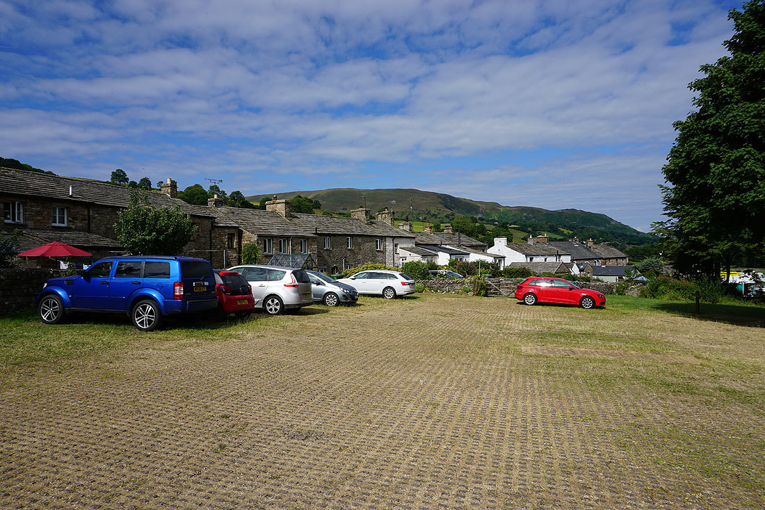
Middleton Fell from the car park in Dent. Another beautiful summer's morning.
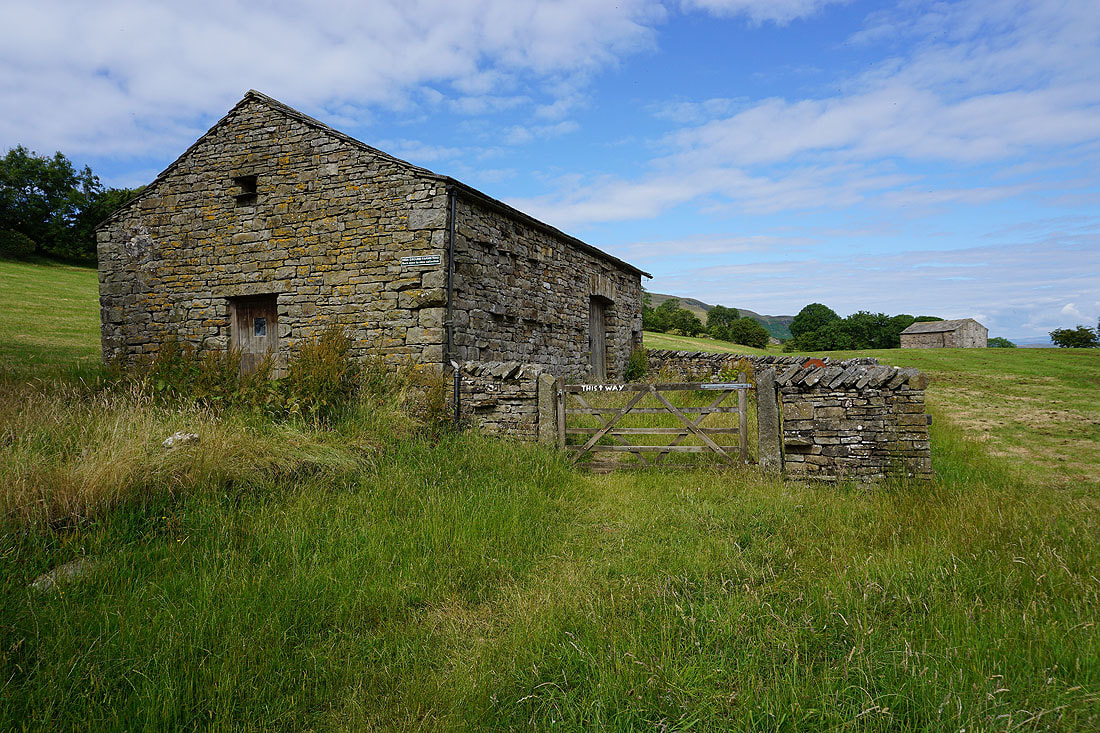
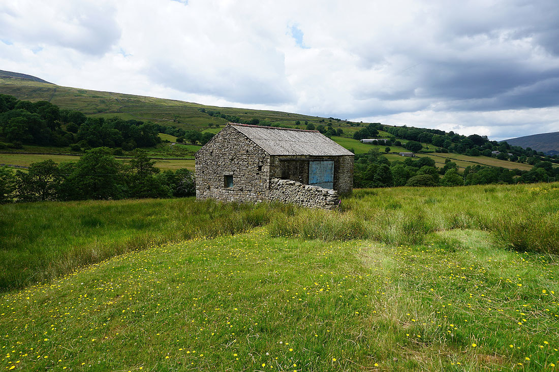
High Ground Farmstead. This barn is open to the public and contains farm machinery from the olden days. It's just off the path up by Flinter Gill.
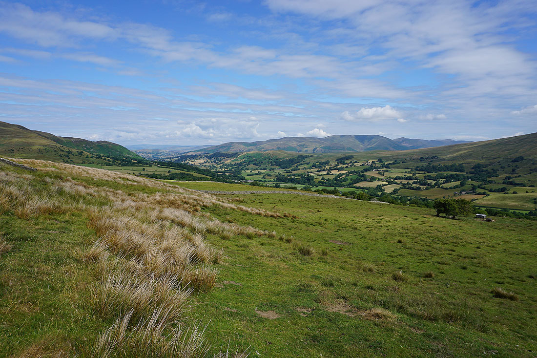
Dentdale and the Howgills..
..and looking up Dentdale to Great Knoutberry Hill from the view indicator above Flinter Gill
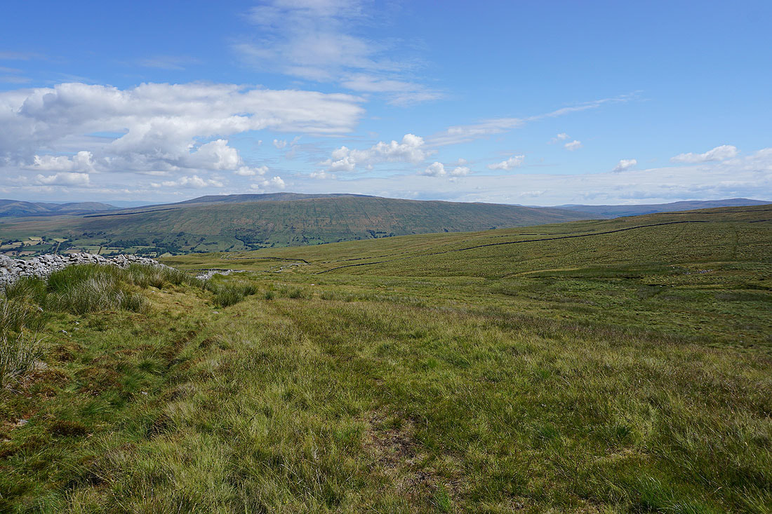
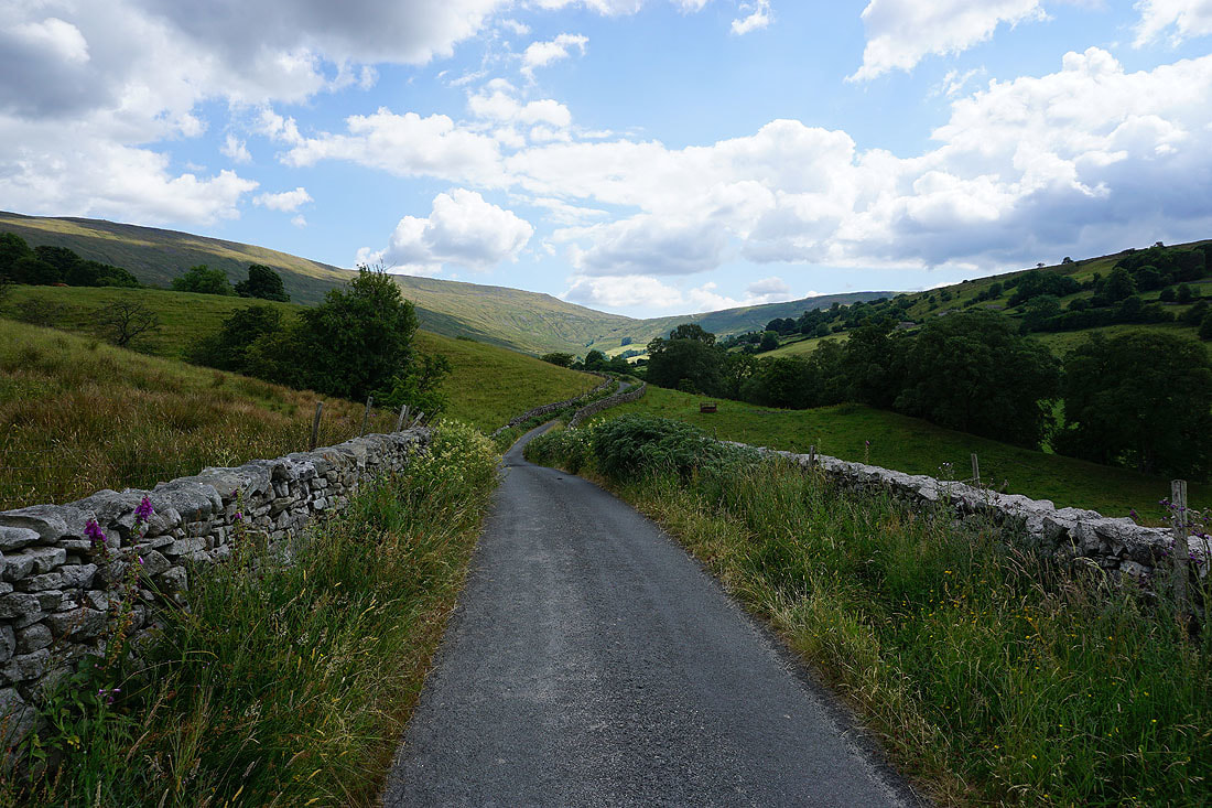
Heading west along the track of Green Lane with Middleton Fell ahead
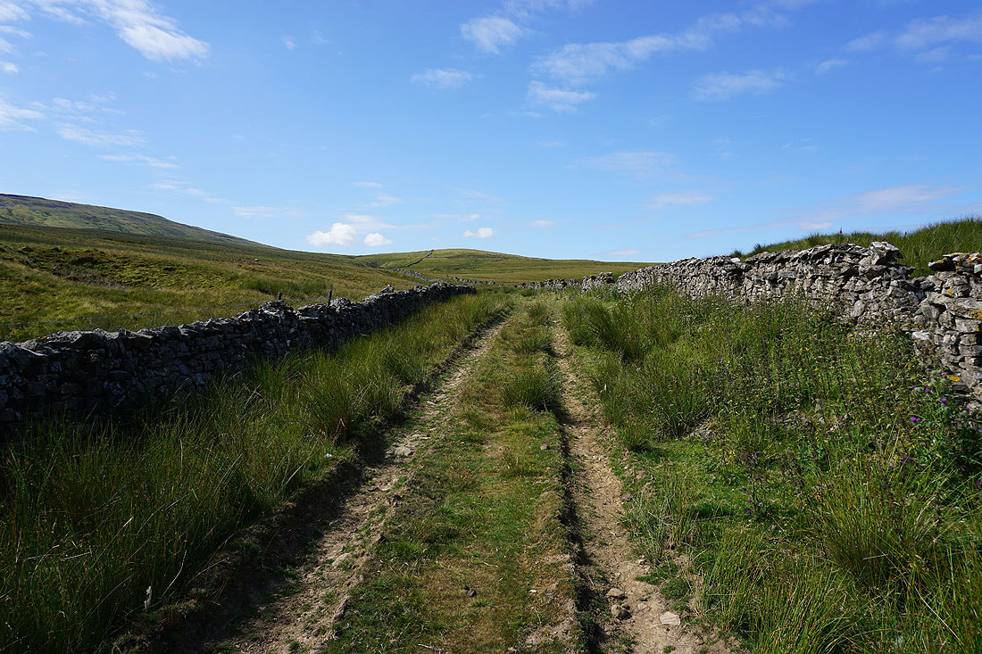
I leave Green Lane for this walled track that heads south up the slopes of Crag Hill
Looking back with the Howgills behind me
Along with Baugh Fell and Aye Gill Pike
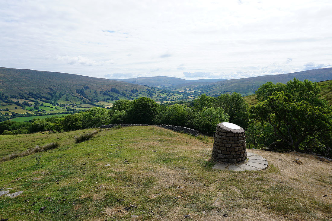
Some time later and I reach the cairn perched on top of the crag of Crag Hill. There's a great view of Dentdale and the Howgills from here..
Middleton Fell with a long line of Lake District fells in the distance behind it
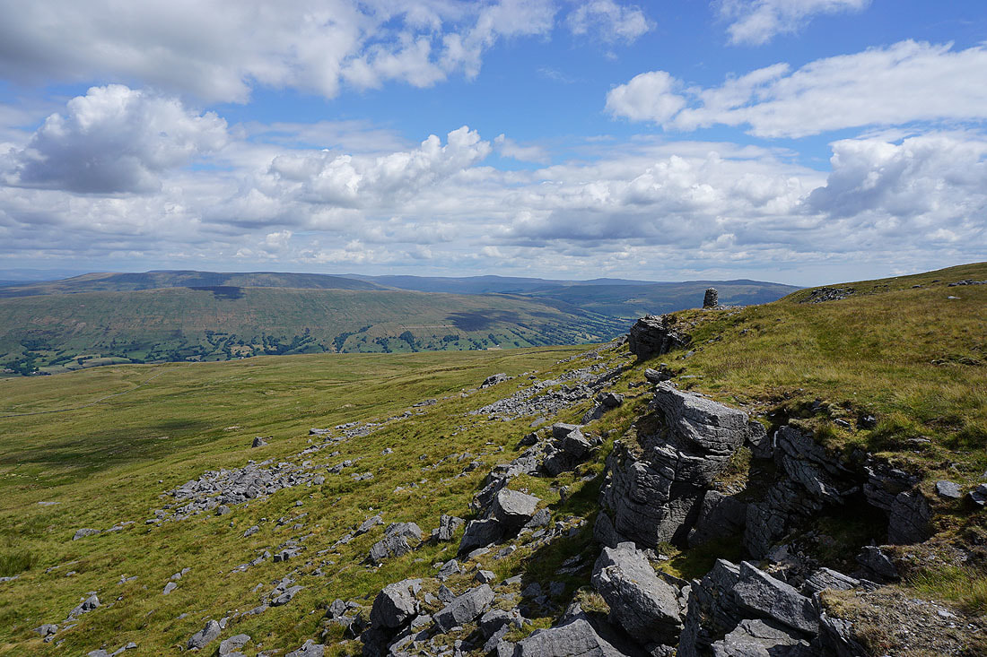
Baugh Fell, Aye Gill Pike, Dentdale, Great Shunner Fell, Lovely Seat and Great Knoutberry Hill
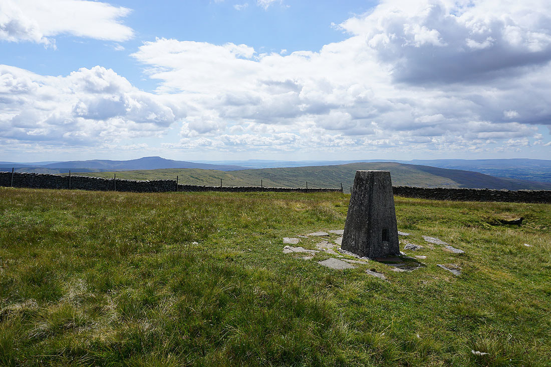
Ingleborough and Gragareth from the trig point on Crag Hill. I make out the distinctive profile of Pendle Hill to the right of Ingleborough.
Barbon Low Fell with Morecambe Bay in the distance
Crag Hill's long southwest ridge
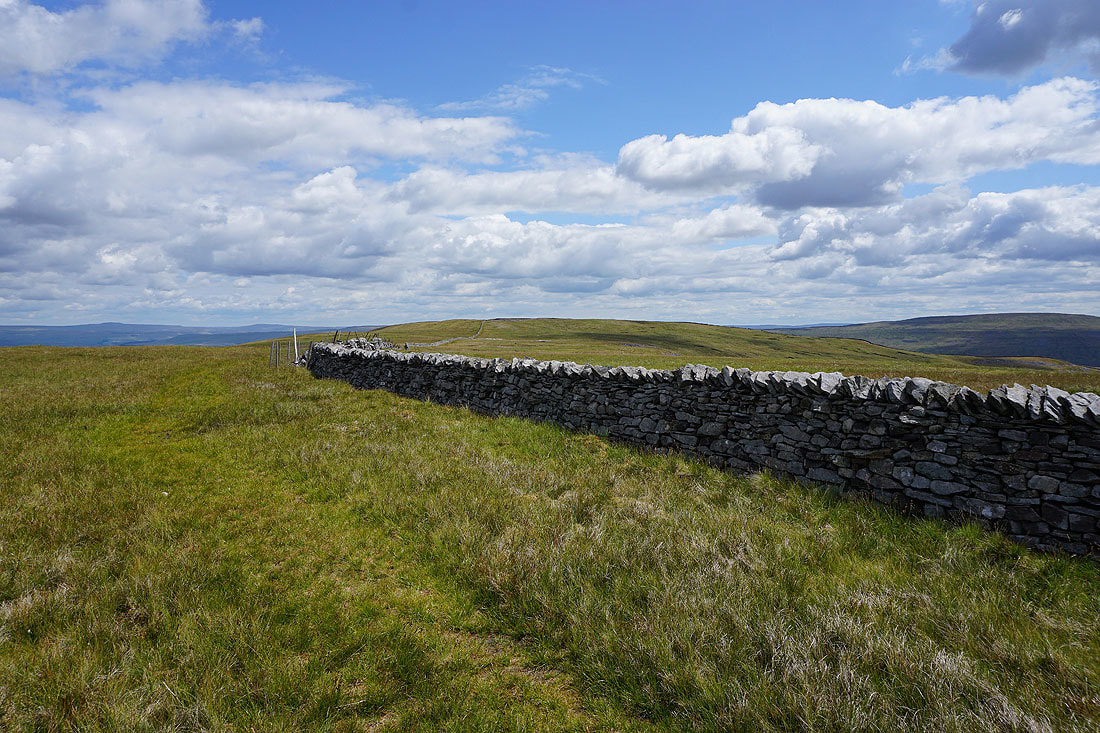
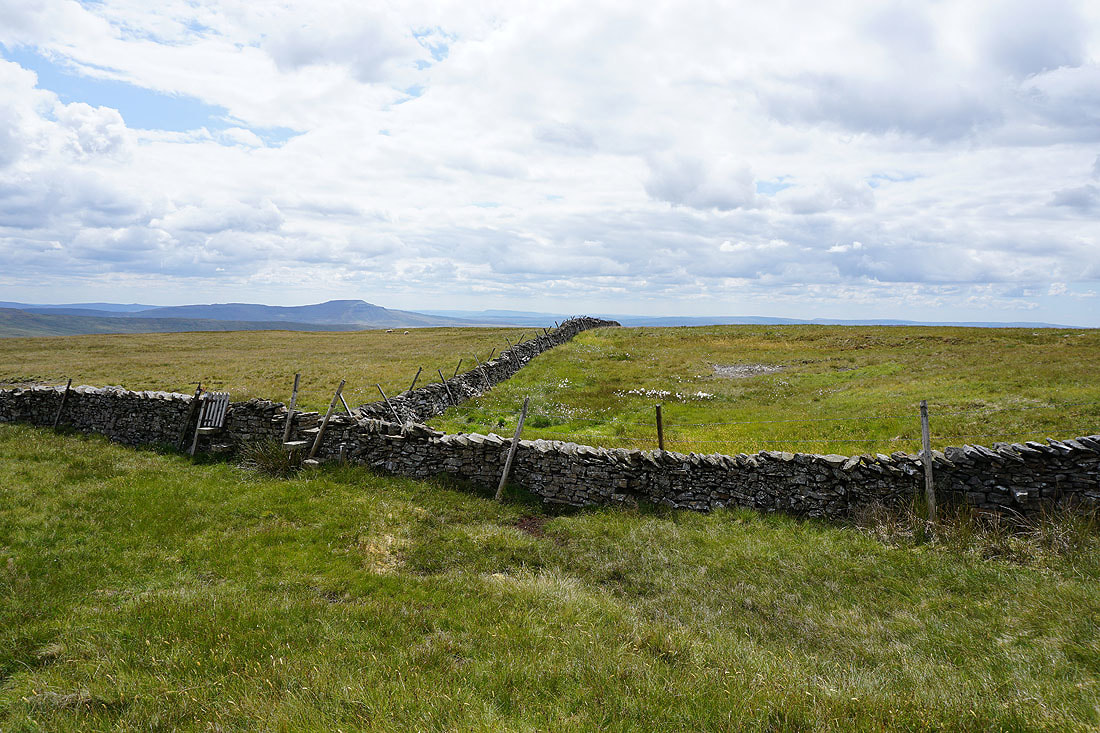
Now to follow the summit wall east across to Great Coum
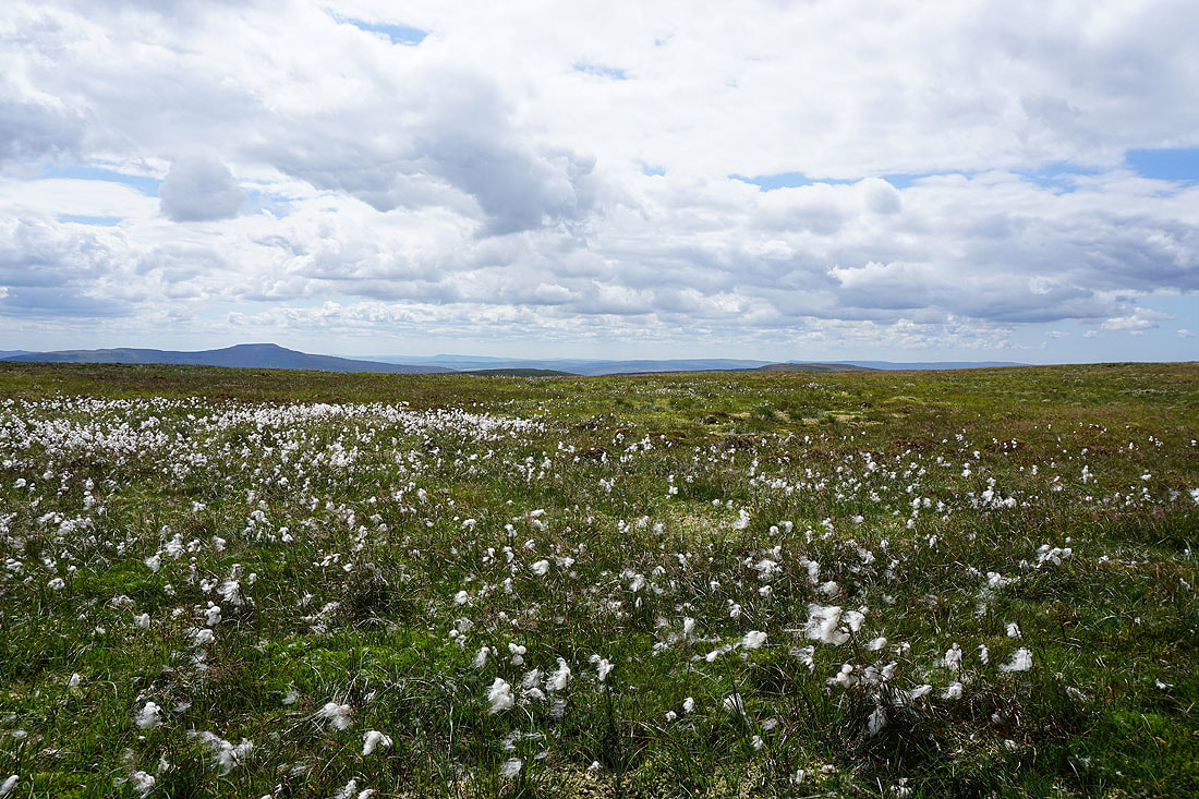
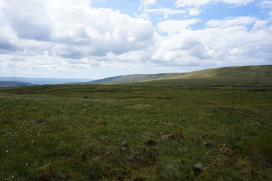
Ingleborough with a sea of cotton grass
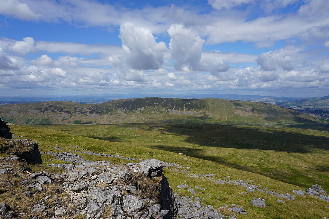
Looking back to Crag Hill
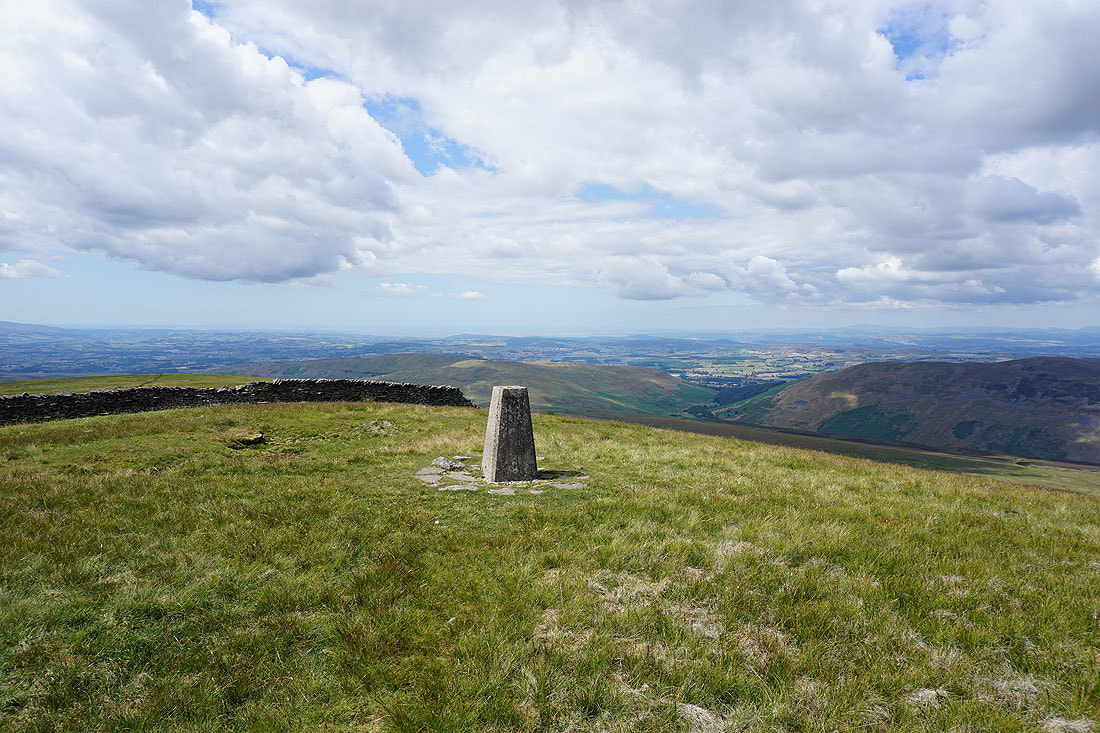
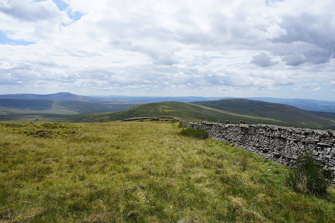
On the summit of Great Coum with Middleton Fell and the Lake District fells on the right
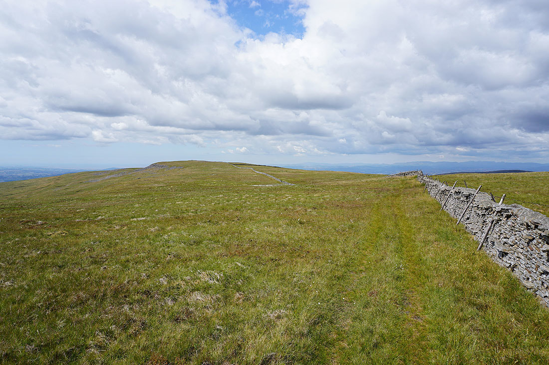
I'm going to the leave the summit by going through the gate to follow the wall south on its eastern side
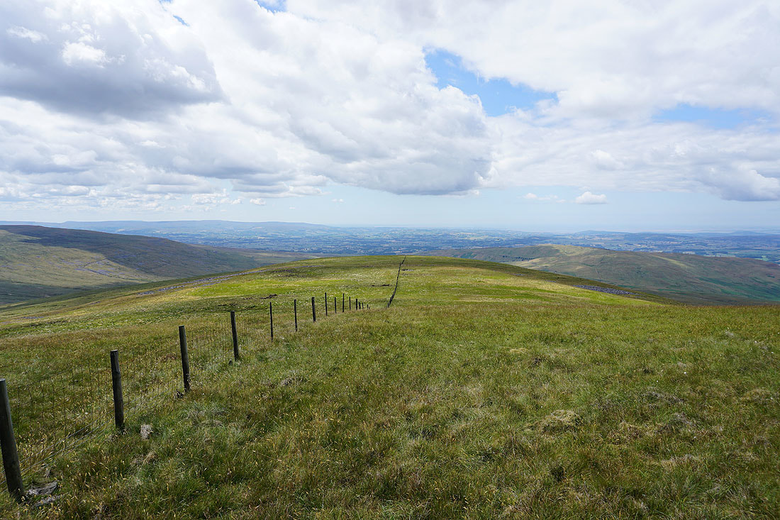
Ingleborough, Green Hill and Gragareth as I head south
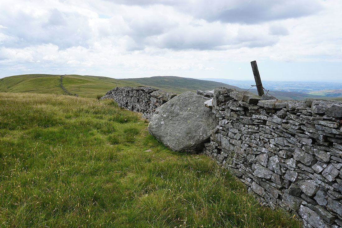
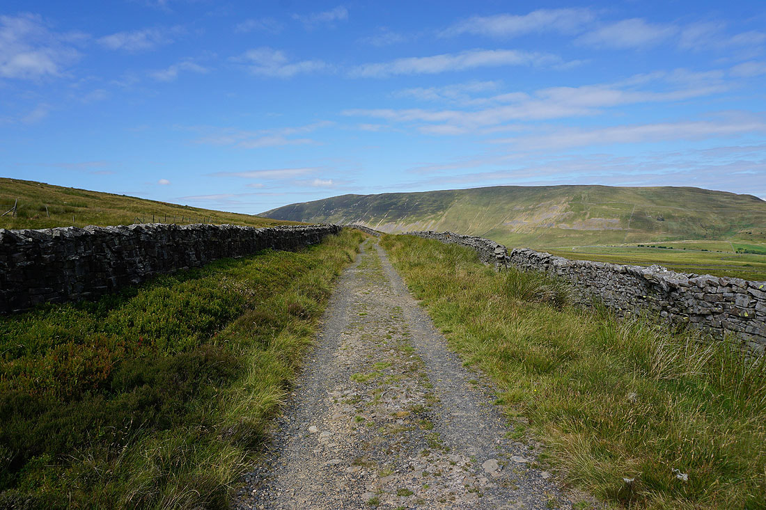
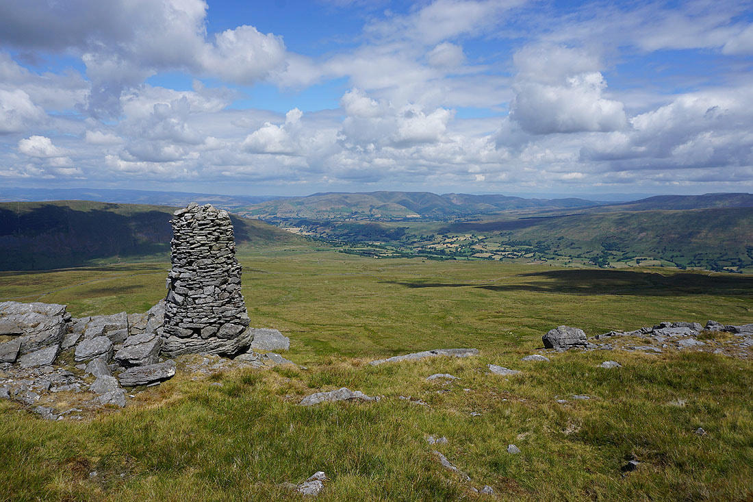
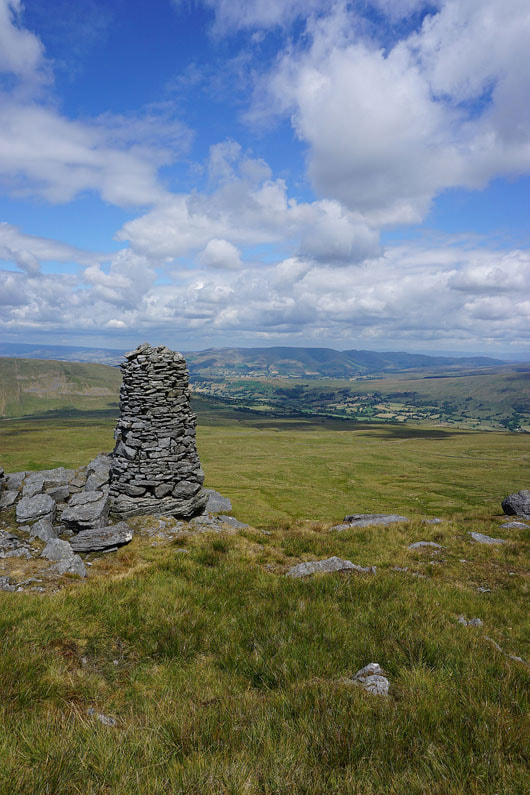
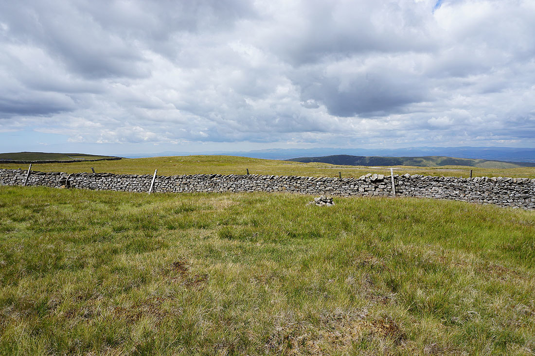
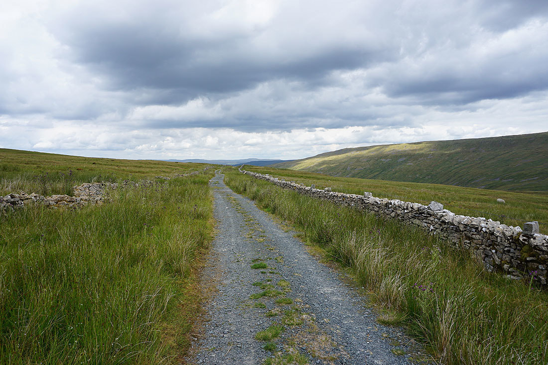
The County Stone. When I reached the next wall south of here I made my way down to the track of Green Lane.
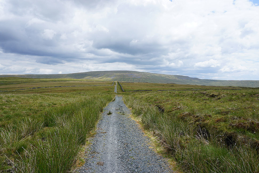
On the bridleway across High Moss with Whernside ahead
Sunshine on Gragareth
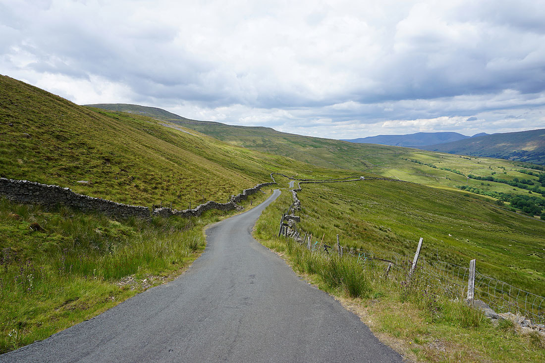
Following the bridleway to reach the road down into Deepdale..
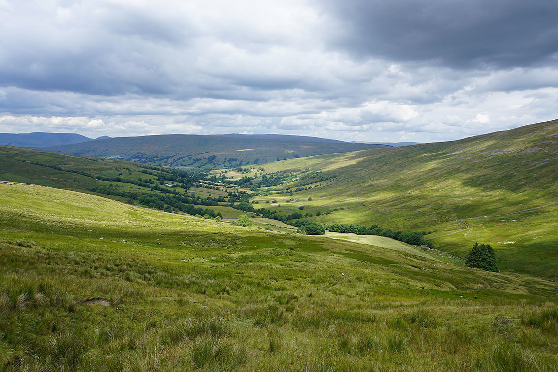
The valley of Deepdale. The path I'm going to follow heads downhill to the beck below.
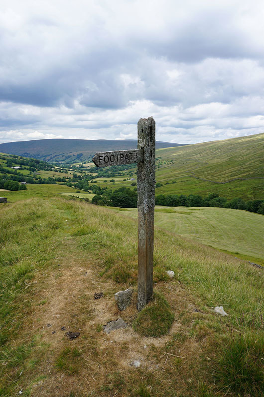
The fingerpost points the way back up to the road
|
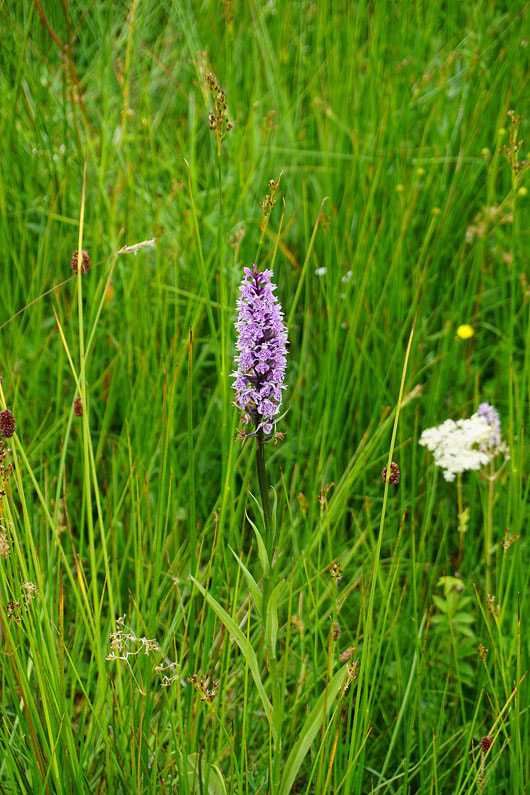
One of many common spotted orchids
|
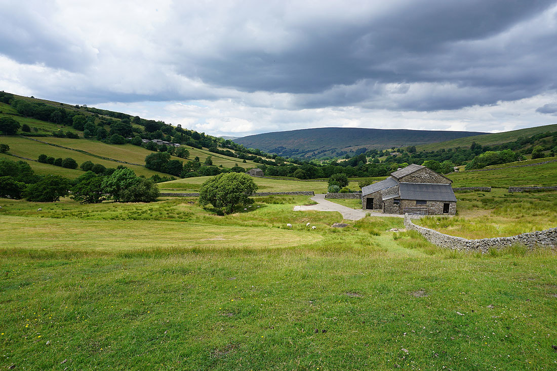
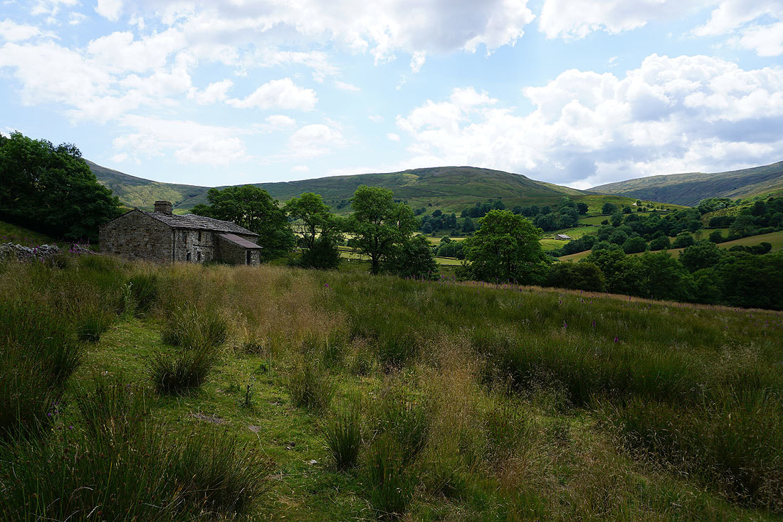
The barn of Johnston's Laithe near Deepdale Head
Past White Acre cottages. Patches of yellow paint on posts and the corners of walls are helping me follow the path.
Sunshine across Deepdale..
Looking back to the hillside of High Pike as I pass Mire Garth
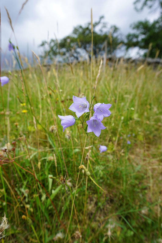
Harebells in flower
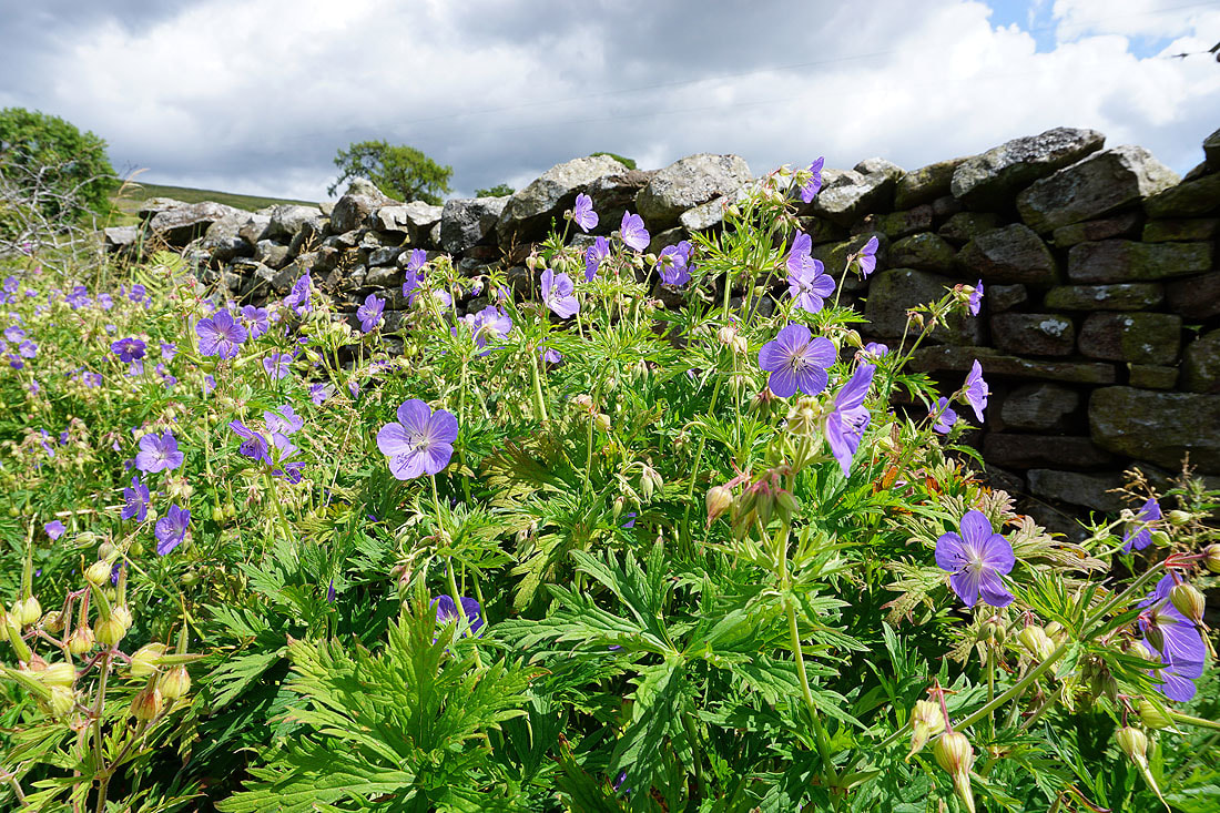
and lots of Meadow Cranesbill
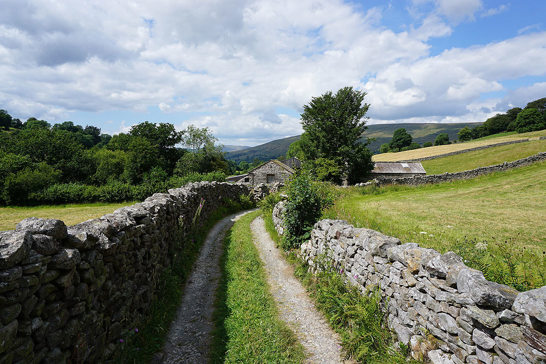
Approaching Blake Rigg Farm. This part of Dyke Hall Lane is a private road, for access only.
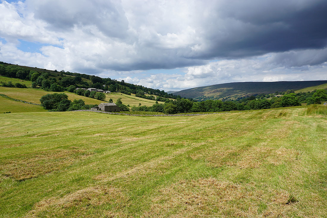
Looking across Deepdale
Walking down Dyke Hall Lane
and looking back up Deepdale
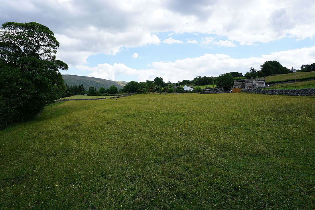
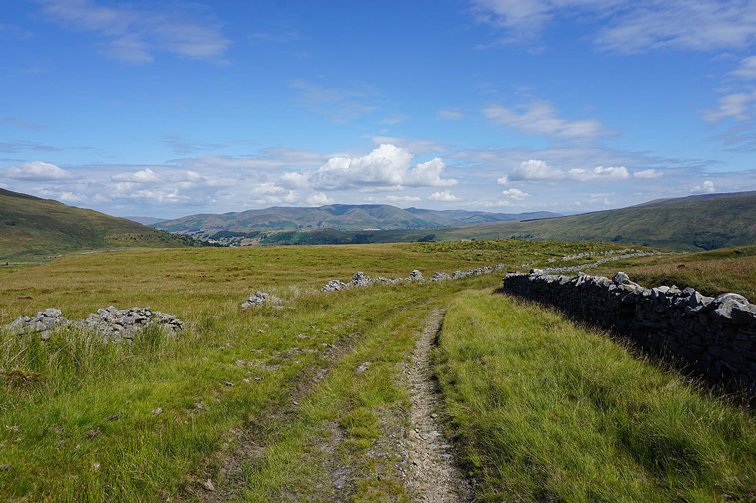
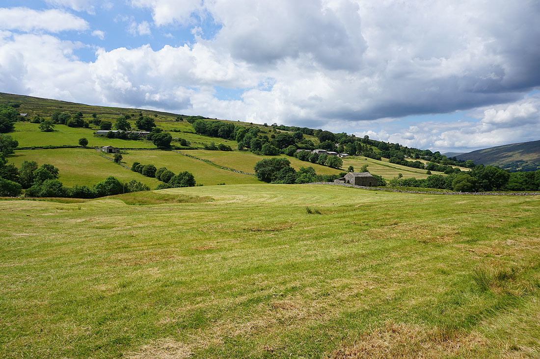
Dentdale meadows by the Dales Way
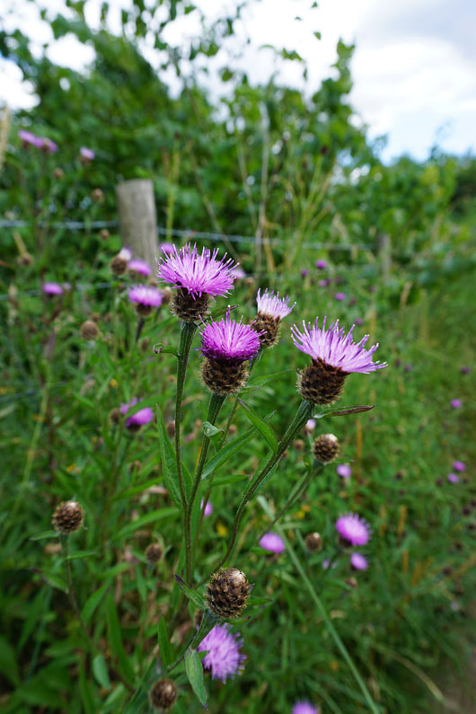
Common knapweed
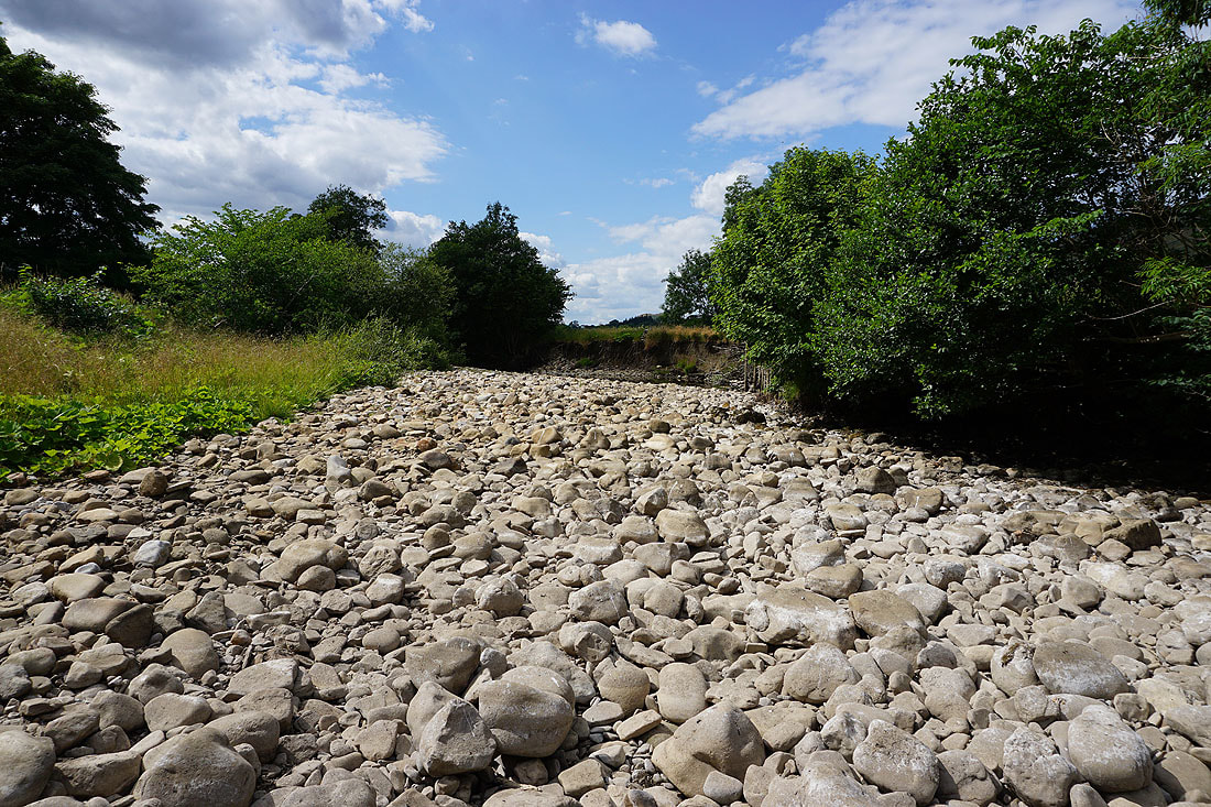
The dry bed of the River Dee
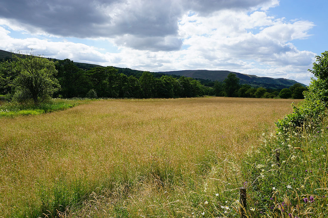
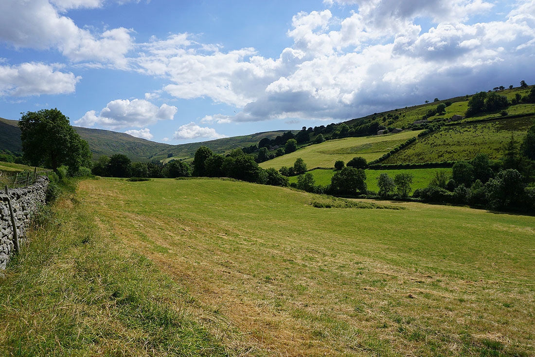
Sunlit meadows
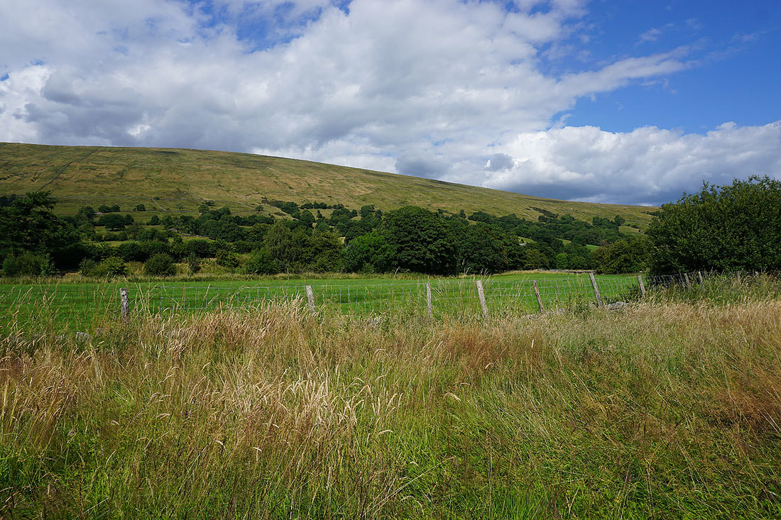
The slopes of Aye Gill Pike rise to the north
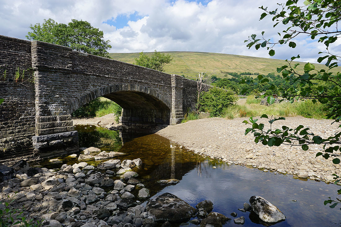
A low River Dee at Church Bridge
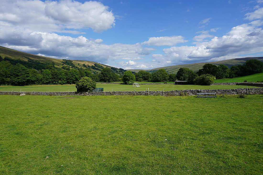
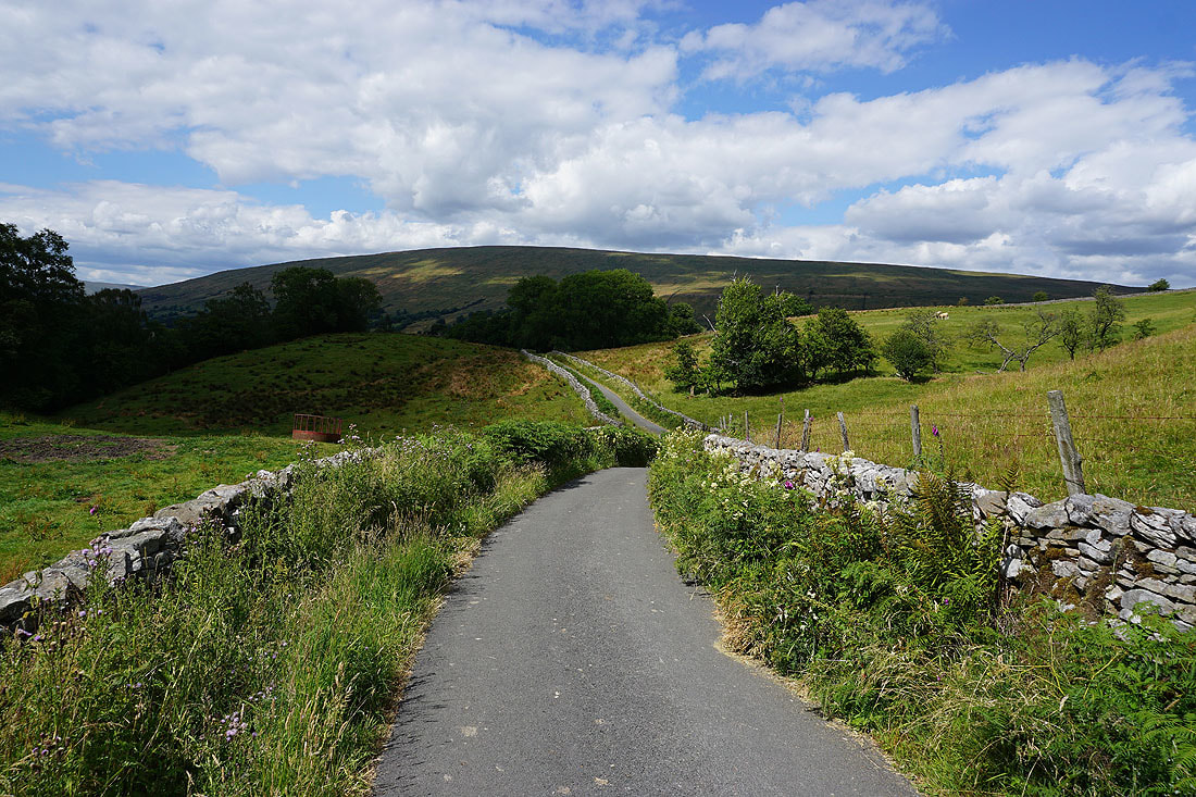
Looking up Dentdale as I walk up the road to Dent
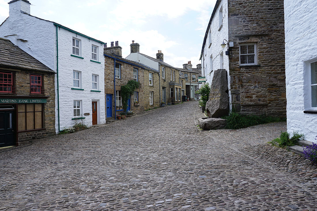
Walking through Dent back to the car park