8th June 2008 - Whernside
Walk Details
Distance walked: 10.2 miles
Total ascent: 1806 ft
OS map used: OL2 - Yorkshire Dales, Southern & Western areas
Time taken: 5.5 hrs
Route description: Kingsdale Head-Cluntering Gill Head-Whernside-Combe Scar-Twisleton Scar End-Kingsdale-Kingsdale Head
My first ever ascent of Whernside on a fine summers day.
From where I started at Kingsdale Head I made my way uphill across the open fell to the summit of Whernside. I then followed the south-west ridge all the way down to Twisleton Scar End before walking back up the road to Kingsdale Head.
Route map
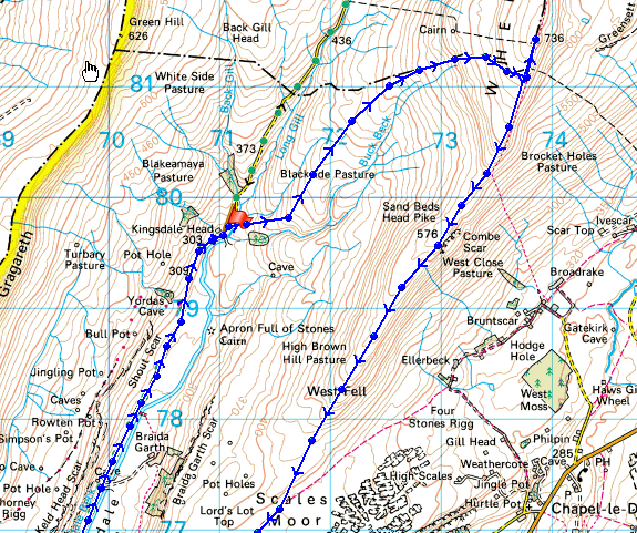
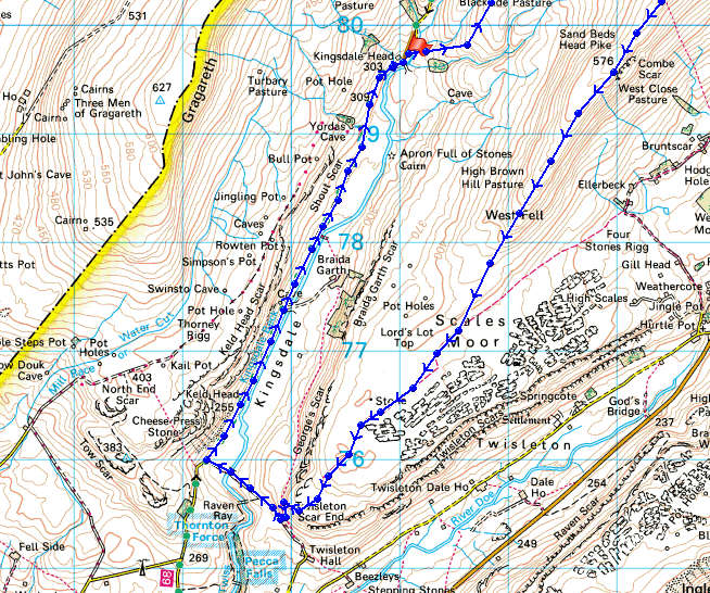
© Crown copyright. All rights reserved. License number PU 100034184.
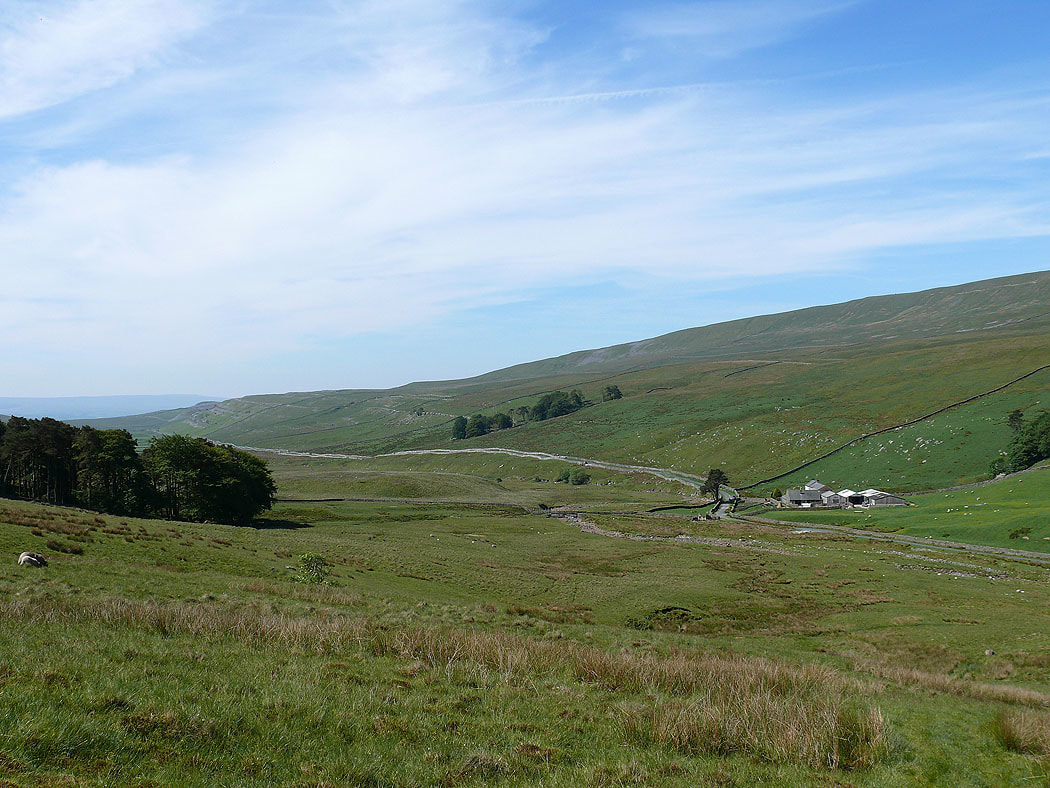
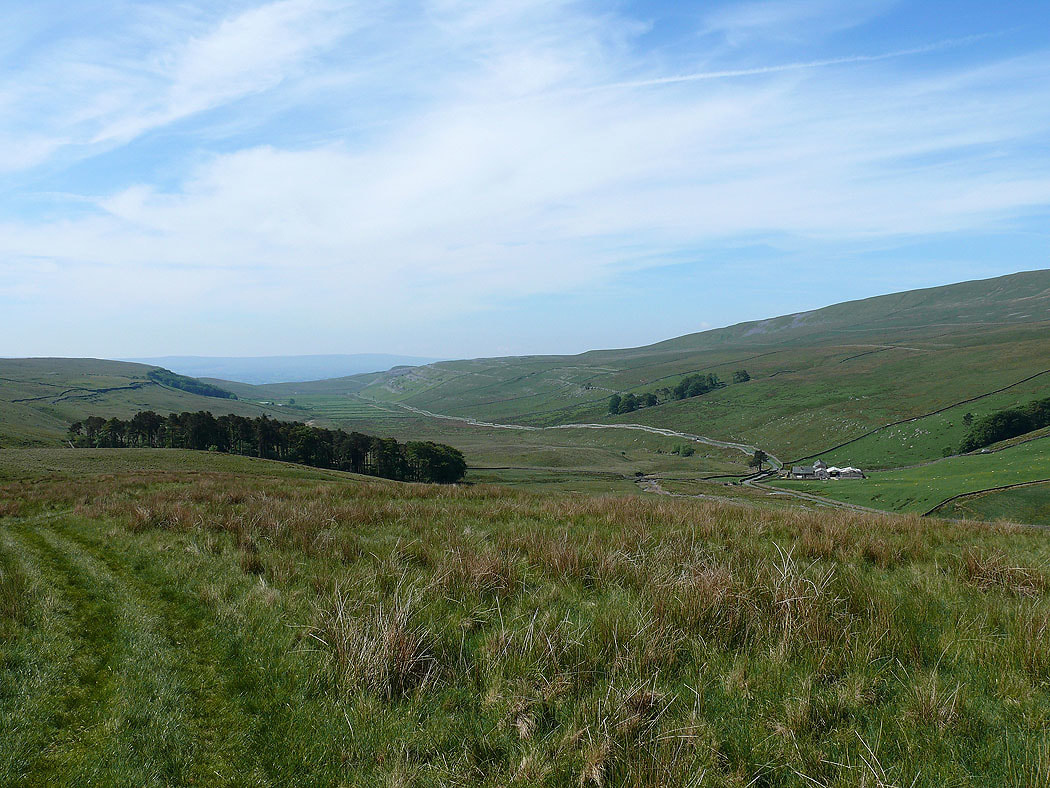
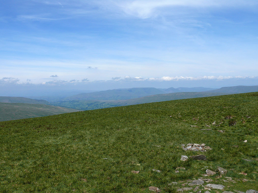
The view back down into Kingsdale as I head uphill..
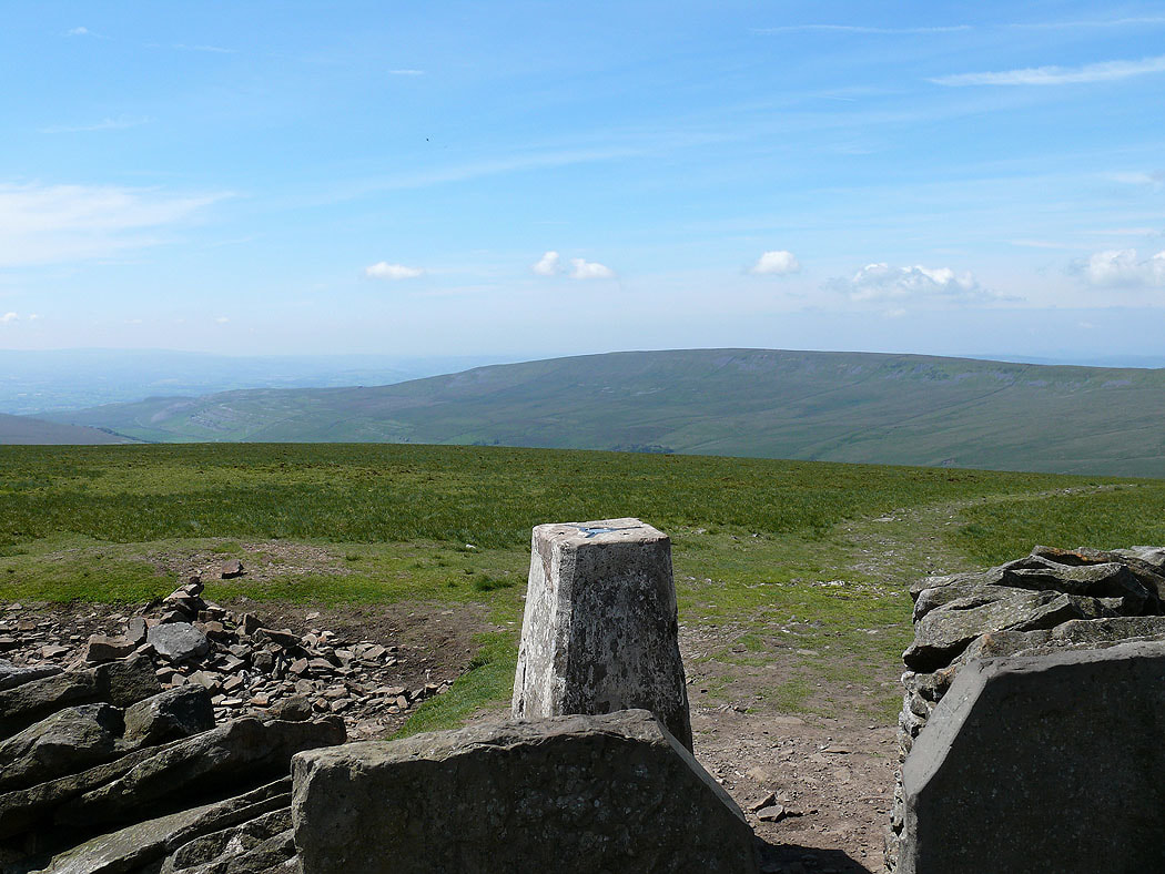
I've finally arrived at the summit and the view across to the Howgills
Gragareth from the summit of Whernside
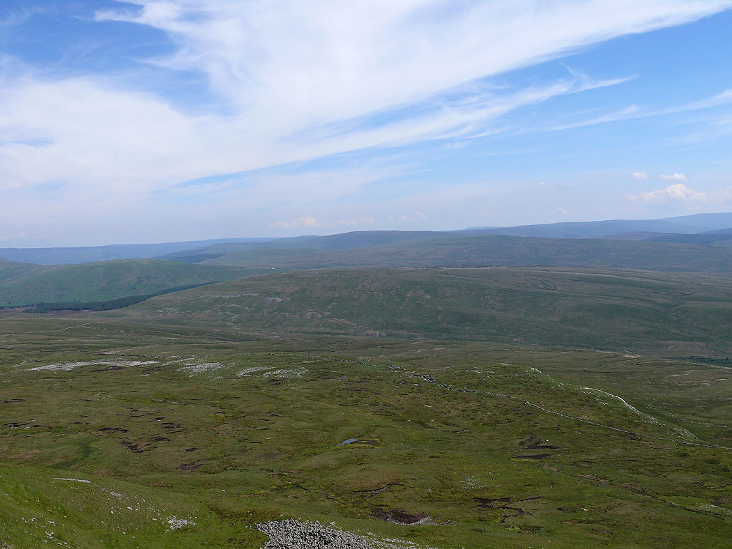
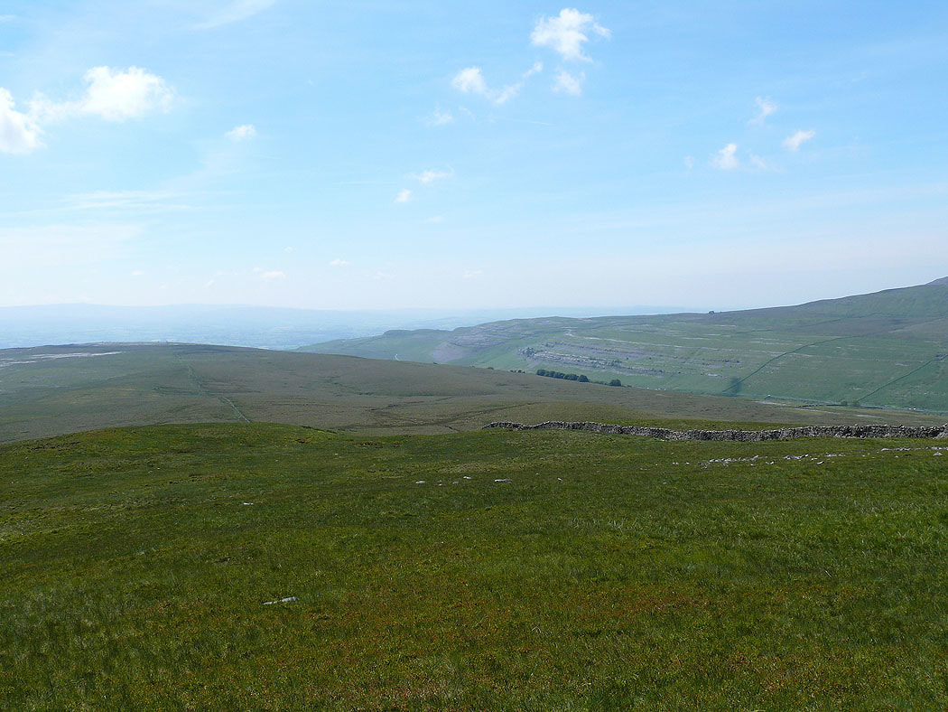
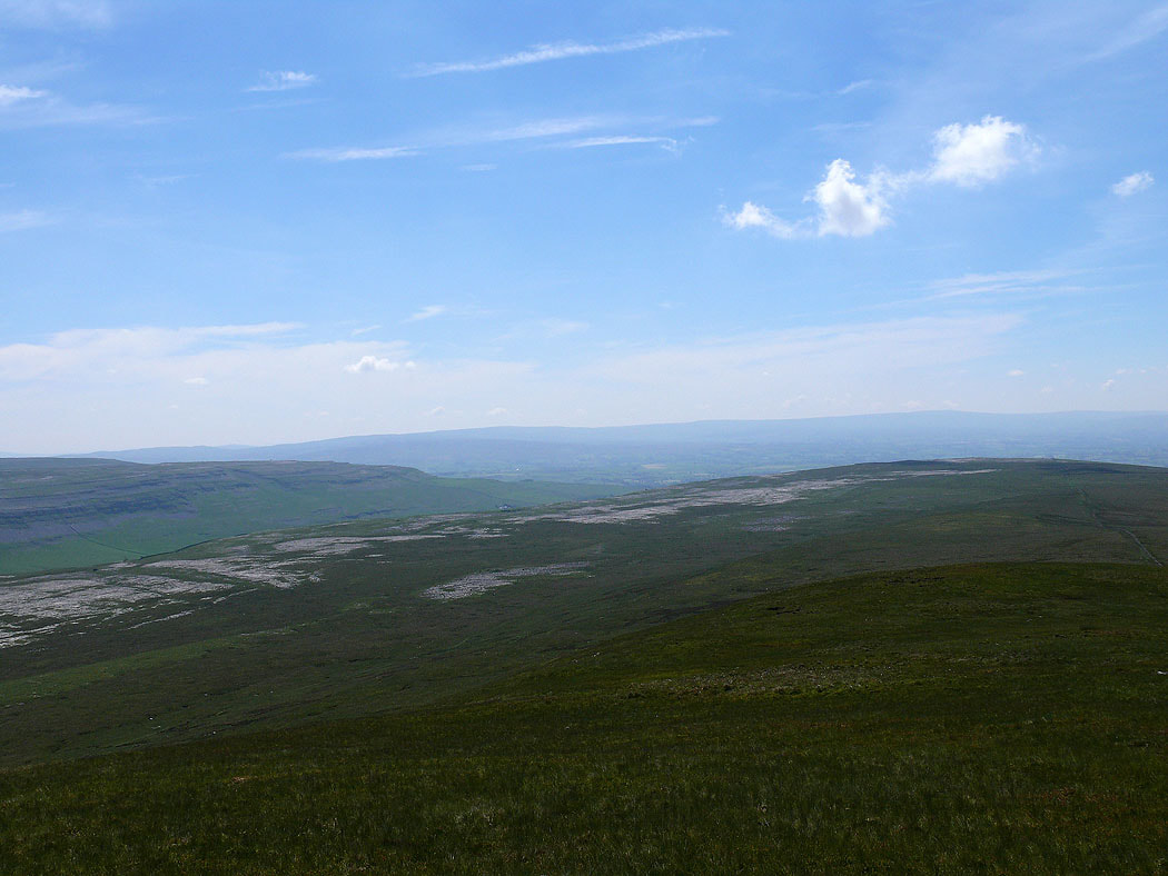
Looking over Blea Moor to Dodd Fell Hill
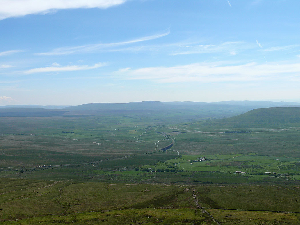
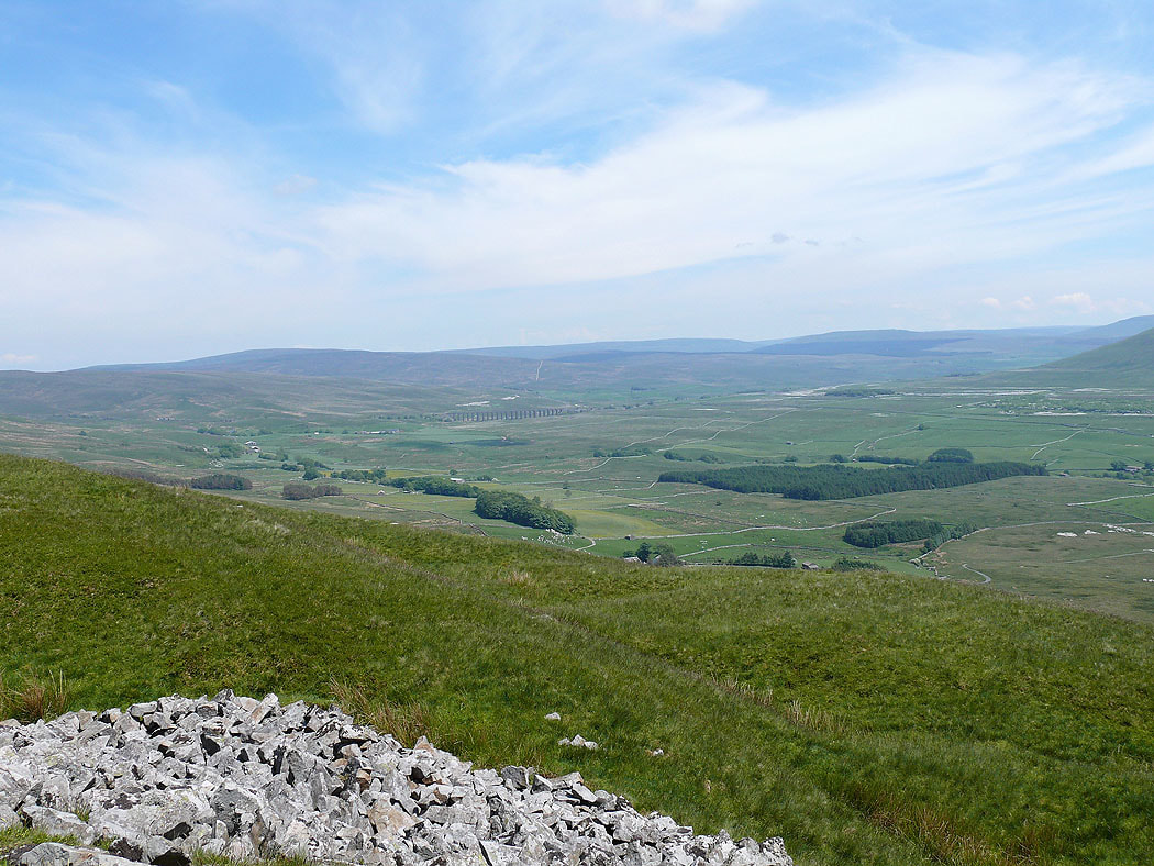
Penyghent and Ribblehead
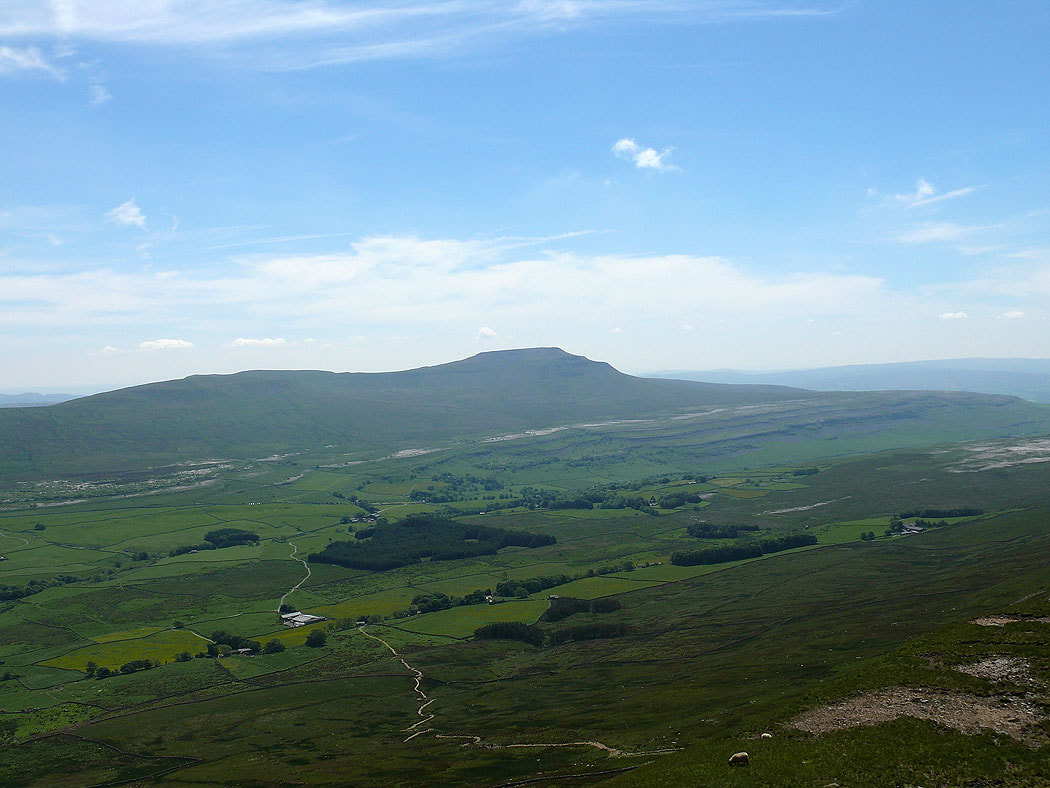
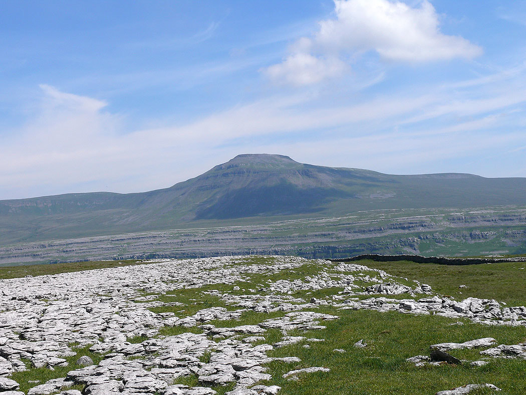
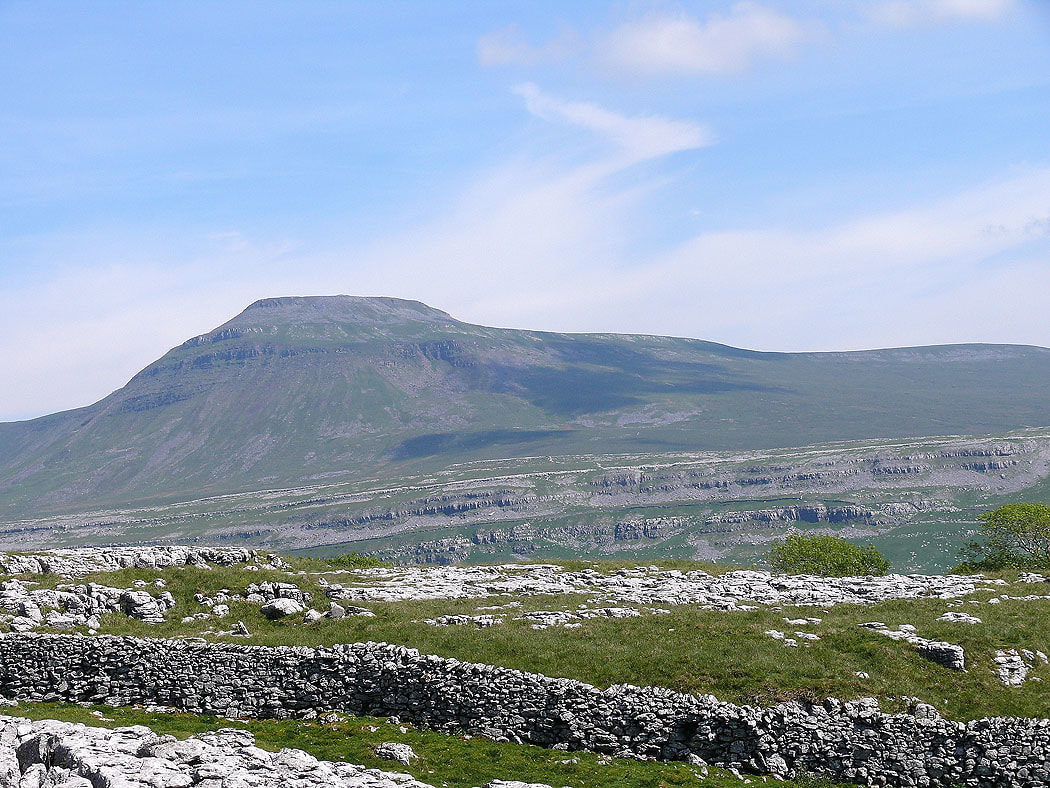
Ingleborough from Whernside
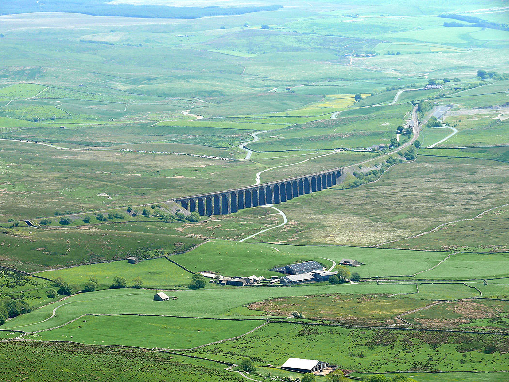
Zooming in on the Ribblehead viaduct
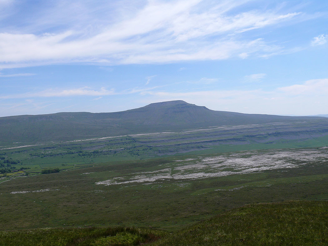
Ingleborough from the top of Combe Scar
Keld Head Scar on the other side of Kingsdale
Twistleton Scar
The view back towards Ribblehead
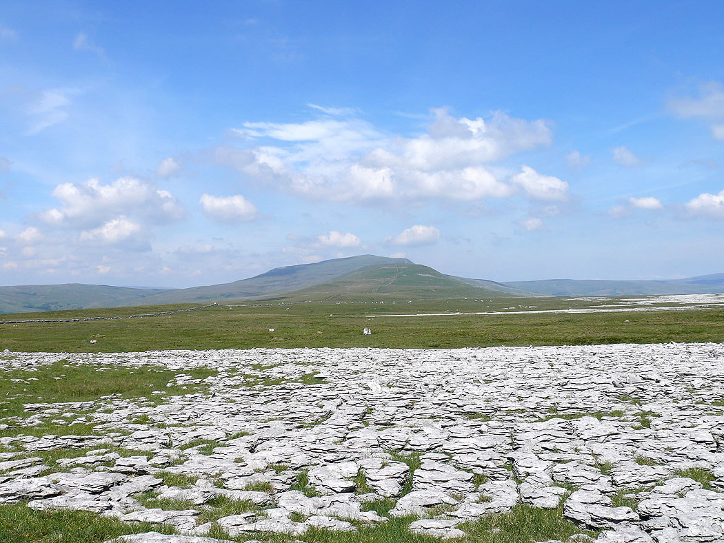
Ingleborough from Twistleton Scar
and Whernside
Ingleborough from Twistleton Scar End
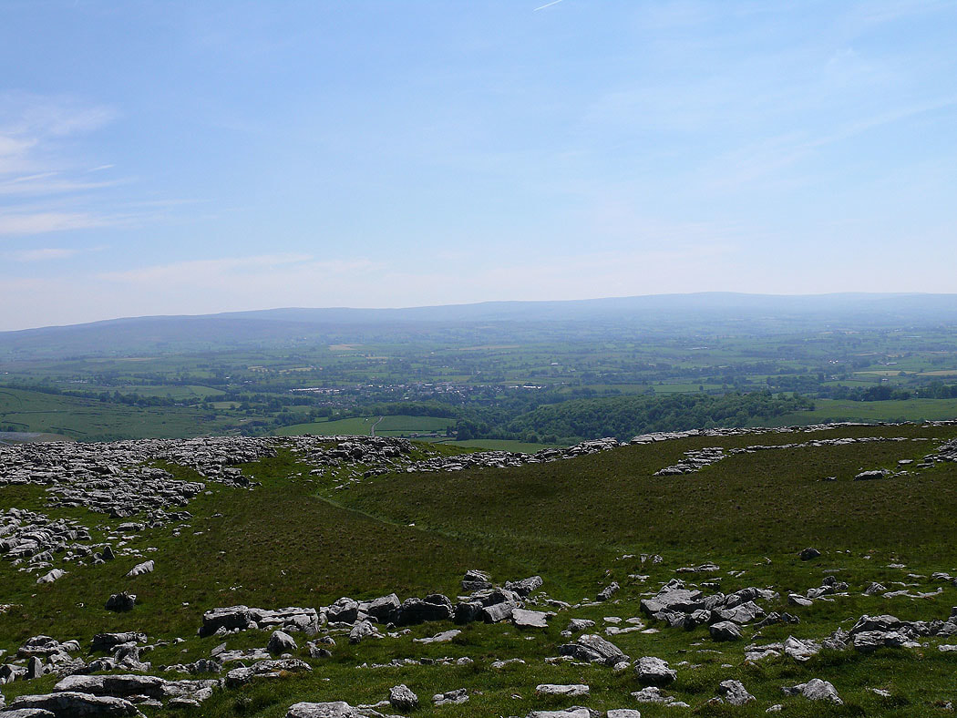
The Forest of Bowland in the distance
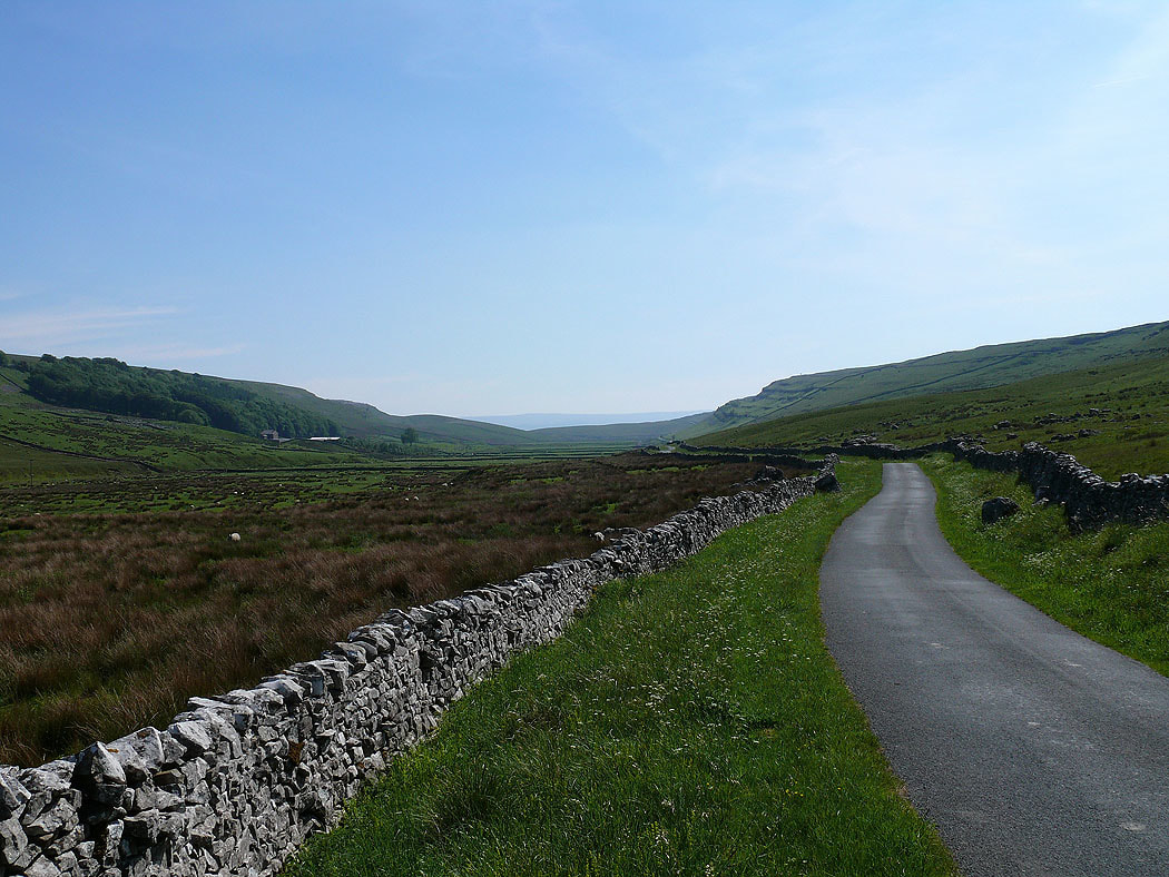
A look back down Kingsdale as I head back to Kingsdale Head